Lienz valley floor cycle route No. 35
luz
Navegue por
Navegue por
Consigue este tour en tu móvil
Lienz valley floor cycle route No. 35
luz
Ciclismo
39,04
km
Escanee el código QR e inicie la navegación en la aplicación bergfex

Senderismo y rastreo


Lienz valley floor cycle route No. 35
luz
Distancia
39,04
km
Duración
03:00
h
Ascenso
254
m
Nivel del mar
641 -
816
m
Descarga de pistas
Lienz valley floor cycle route No. 35
luz
Ciclismo
39,04
km
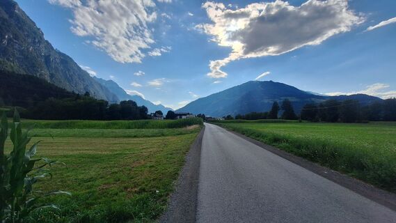
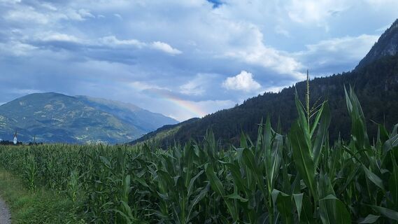
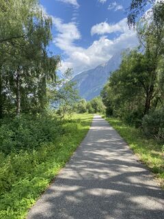
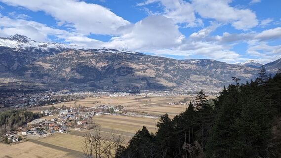
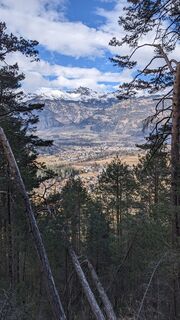
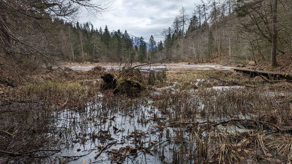
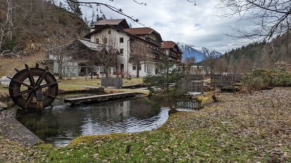
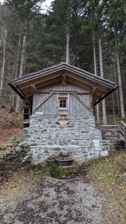
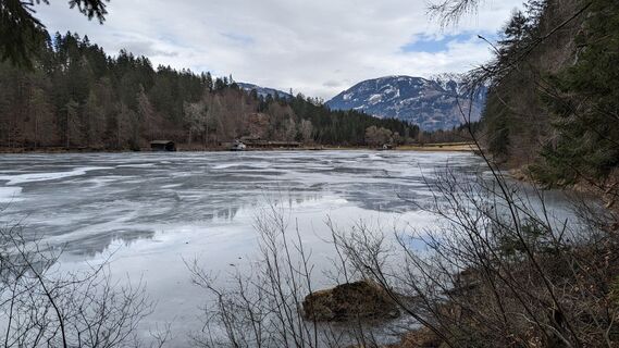
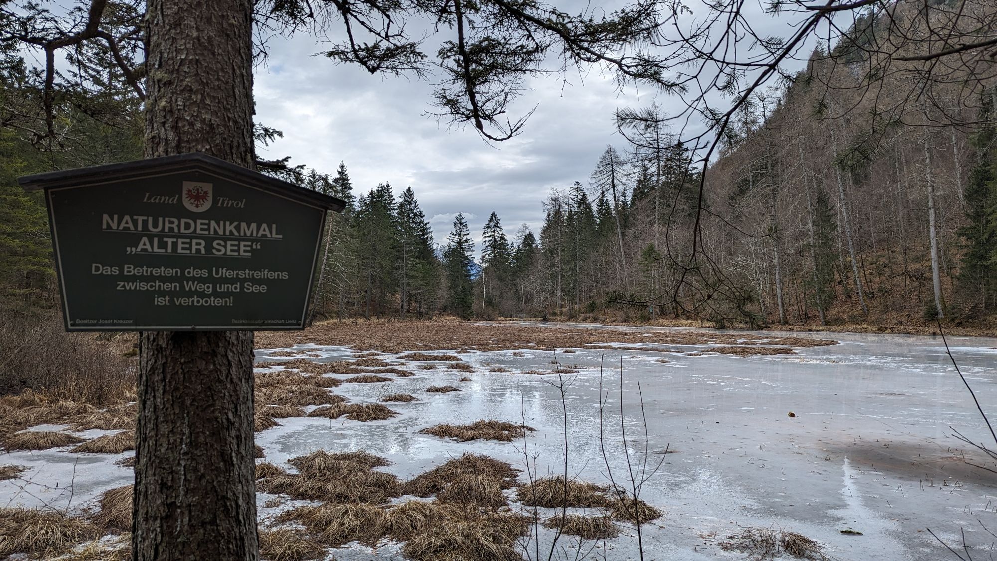
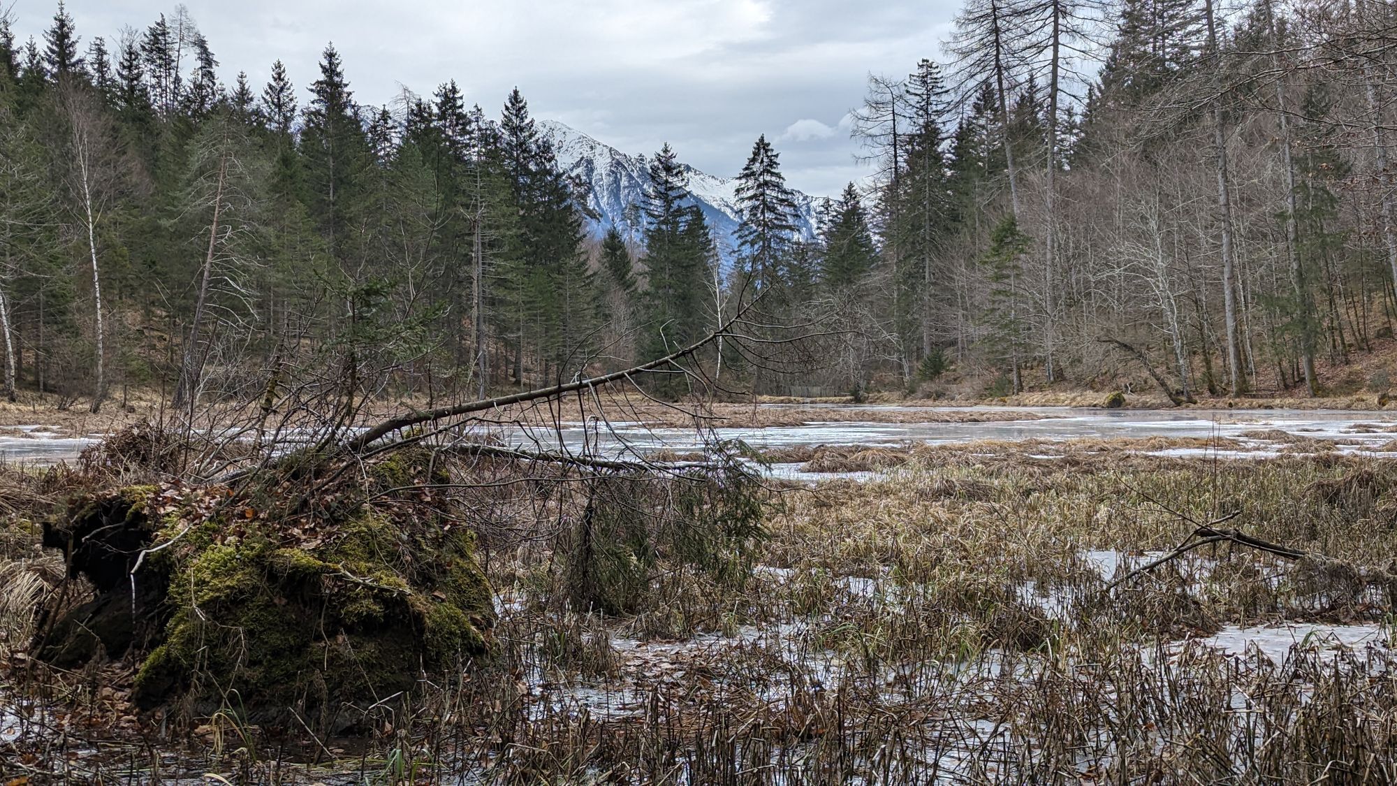
Fotos de nuestros usuarios
-
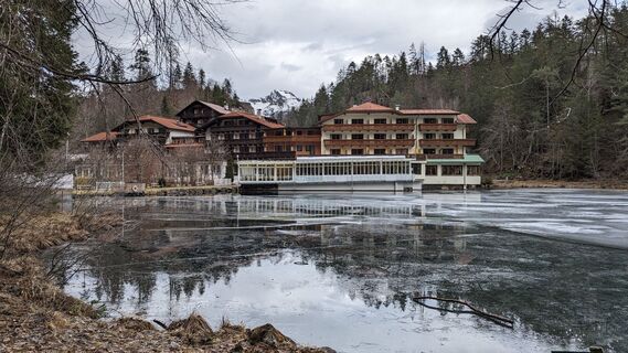
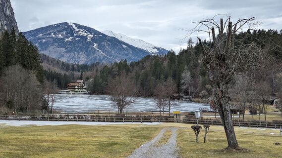
 © Mi HaoCreado el 17.02.2024
 -
 © Mi HaoCreado el 17.02.2024
 -
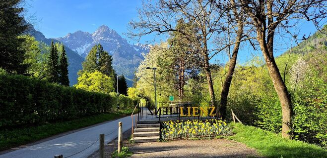
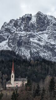
 © Thomas SchekiraCreado el 18.04.2026
 -
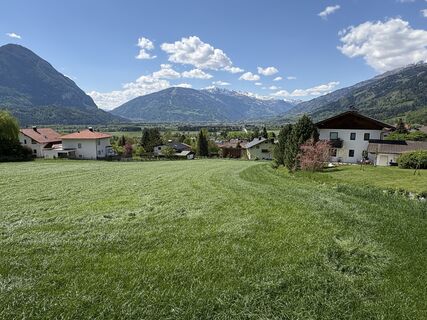
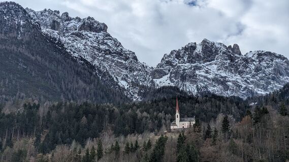
 © Helmut SchuchterCreado el 01.05.2025
 -

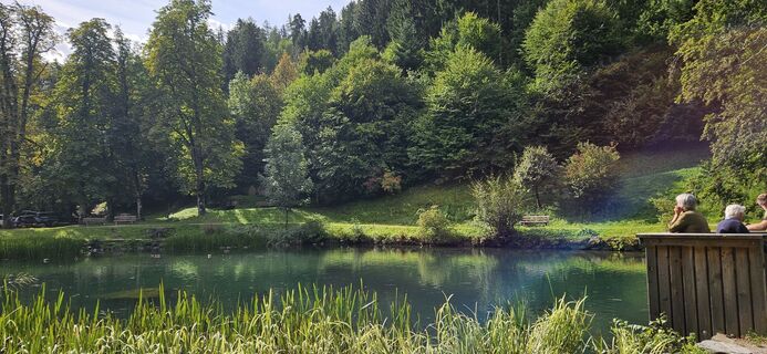
 © Matej Mikus 1Creado el 29.07.2024
 -
 © Matej Mikus 1Creado el 28.07.2024
 -
 © Matej Mikus 1Creado el 28.07.2024
 -

 © Toni FeistritzerCreado el 23.06.2022
 -
 © Toni FeistritzerCreado el 23.06.2022
 -
 © Mi HaoCreado el 17.02.2024
 -
 © Mi HaoCreado el 17.02.2024
 -
 © Mi HaoCreado el 17.02.2024
 -
 © Mi HaoCreado el 17.02.2024
 -
 © Mi HaoCreado el 17.02.2024
 -
 © Mi HaoCreado el 17.02.2024
 -
 © Mi HaoCreado el 17.02.2024
 -
 © Mi HaoCreado el 17.02.2024
 -
 © Mi HaoCreado el 17.02.2024
 -
 © Mi HaoCreado el 17.02.2024
 -
 © Mi HaoCreado el 17.02.2024
 -
 © Mi HaoCreado el 17.02.2024
 -
 © Mi HaoCreado el 17.02.2024
 -
 © Mi HaoCreado el 17.02.2024
 -
 © Mi HaoCreado el 17.02.2024
 -
 © Mi HaoCreado el 17.02.2024
 -
 © Mi HaoCreado el 17.02.2024
 -
 © Mi HaoCreado el 17.02.2024
 -
 © Mi HaoCreado el 17.02.2024
 -
 © Mi HaoCreado el 17.02.2024
 -
 © Mi HaoCreado el 17.02.2024
 -
 © Mi HaoCreado el 17.02.2024
 -
 © Mi HaoCreado el 17.02.2024
 -
 © Mi HaoCreado el 17.02.2024
 -
 © Elfriede MoesslerCreado el 30.08.2025
 -
 © Elfriede MoesslerCreado el 30.08.2025
 -
 © NickyCreado el 18.07.2025
 -
 © NickyCreado el 18.07.2025
 -
 © Martin LobenweinCreado el 09.03.2025
 -
 © Mi HaoCreado el 17.02.2024
 -
 © Mi HaoCreado el 17.02.2024
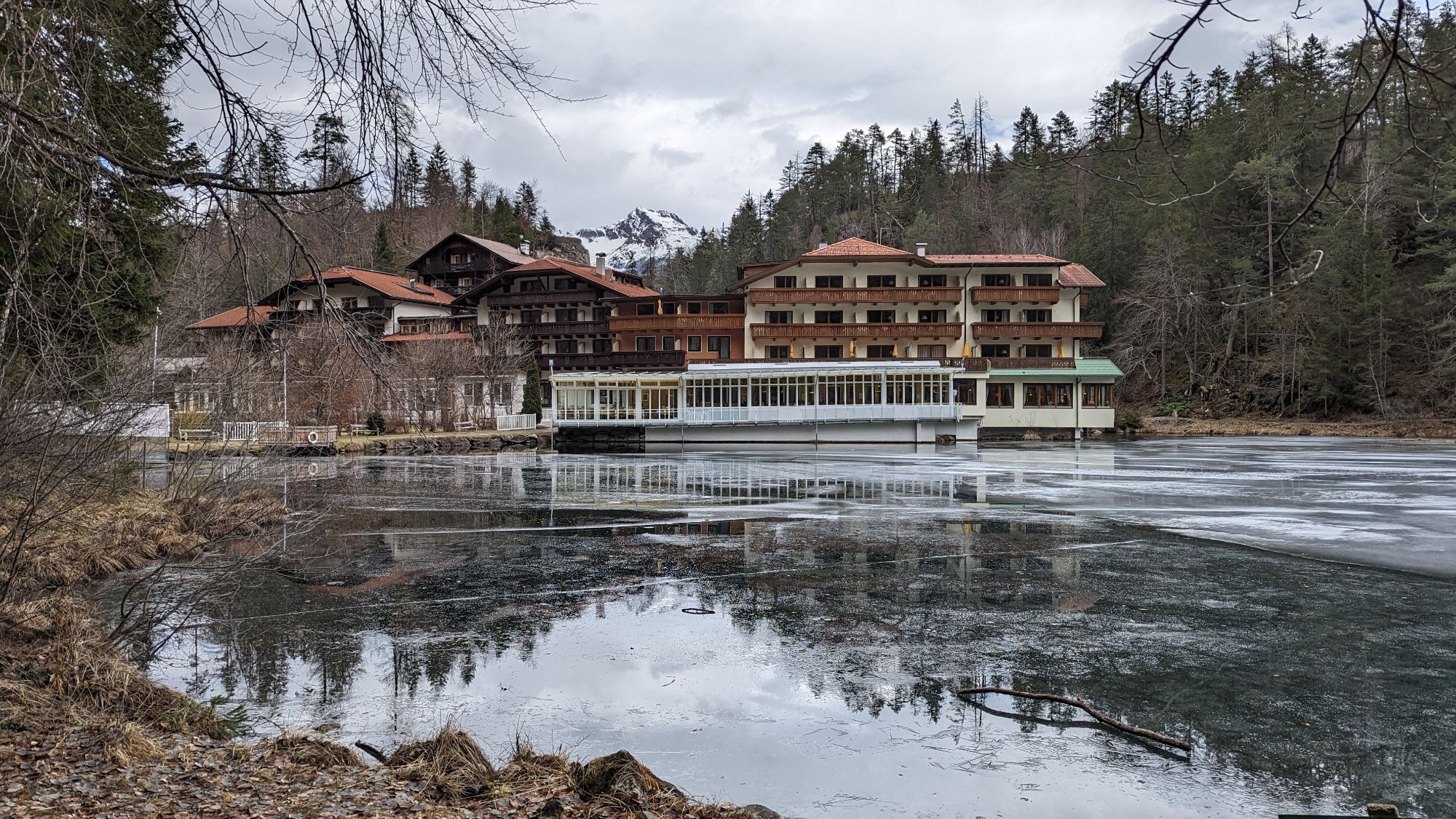
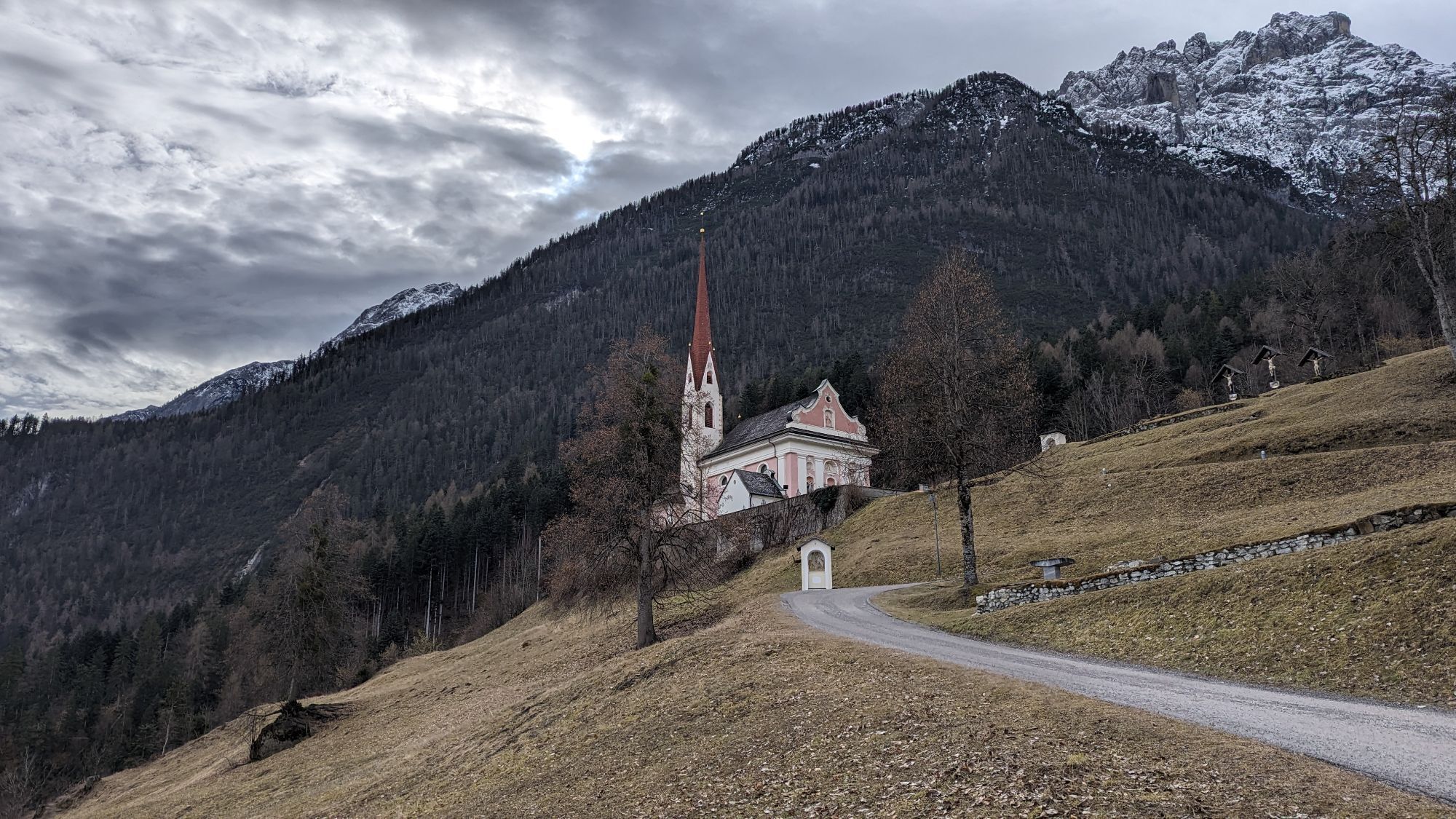

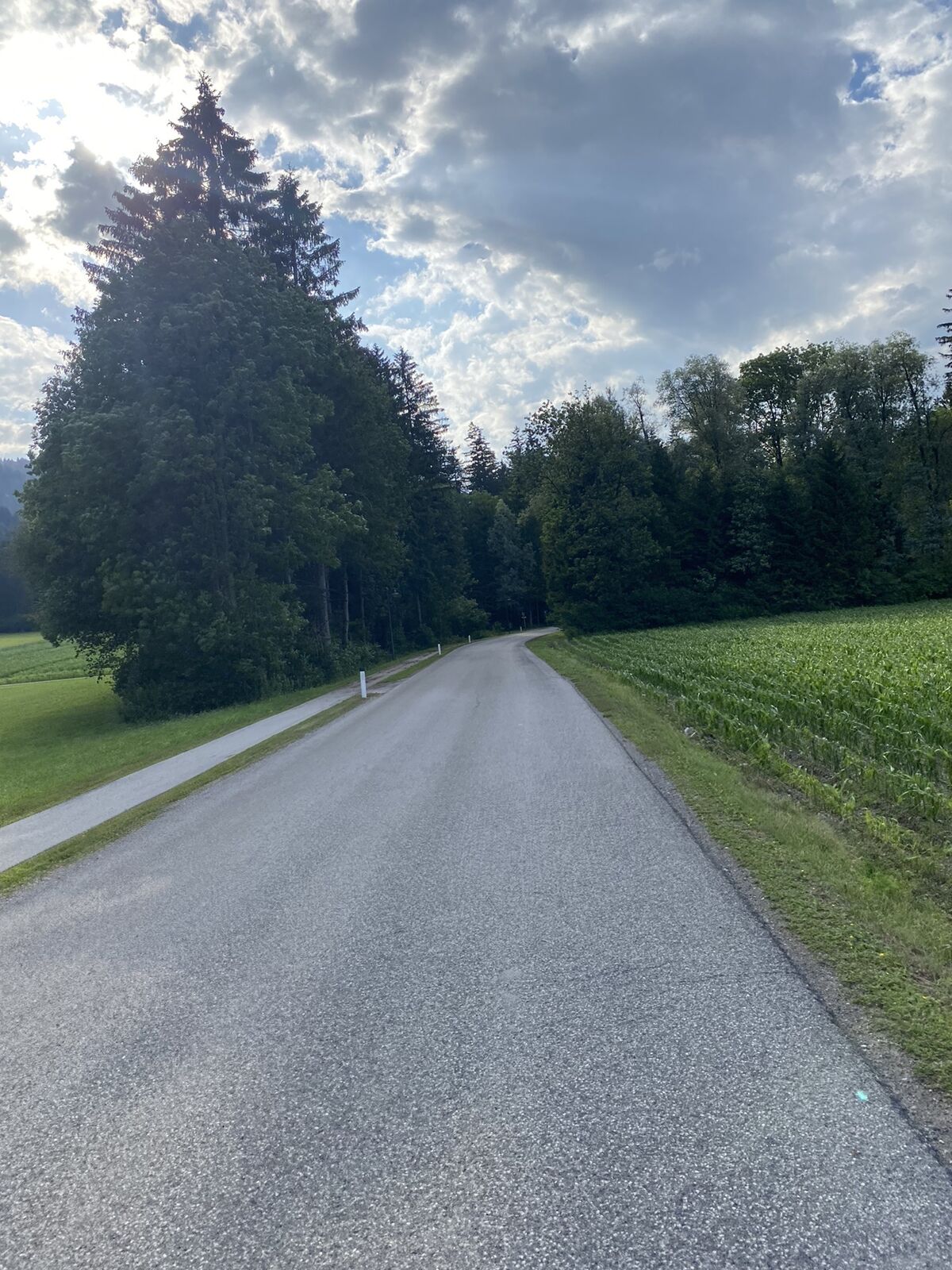

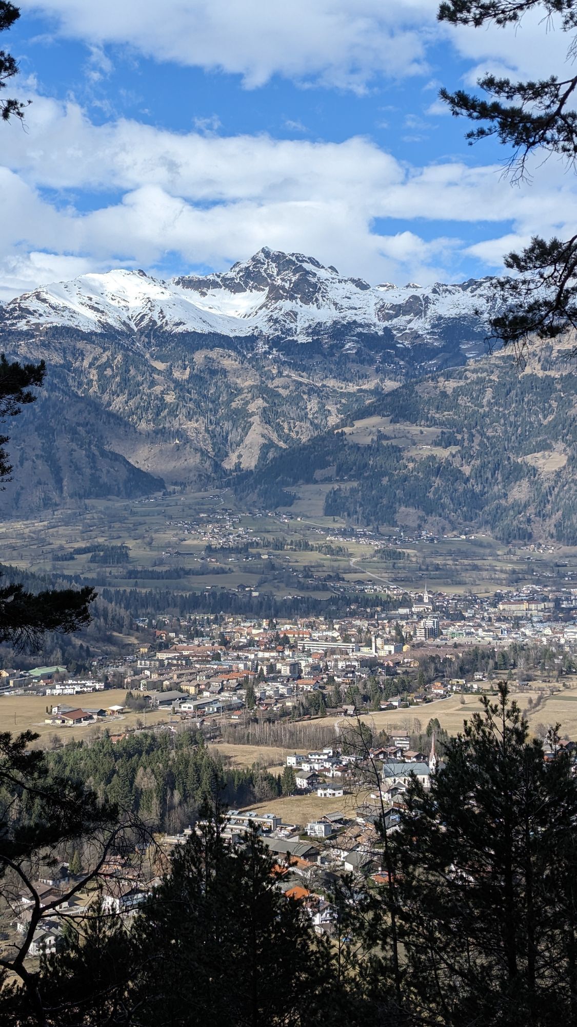
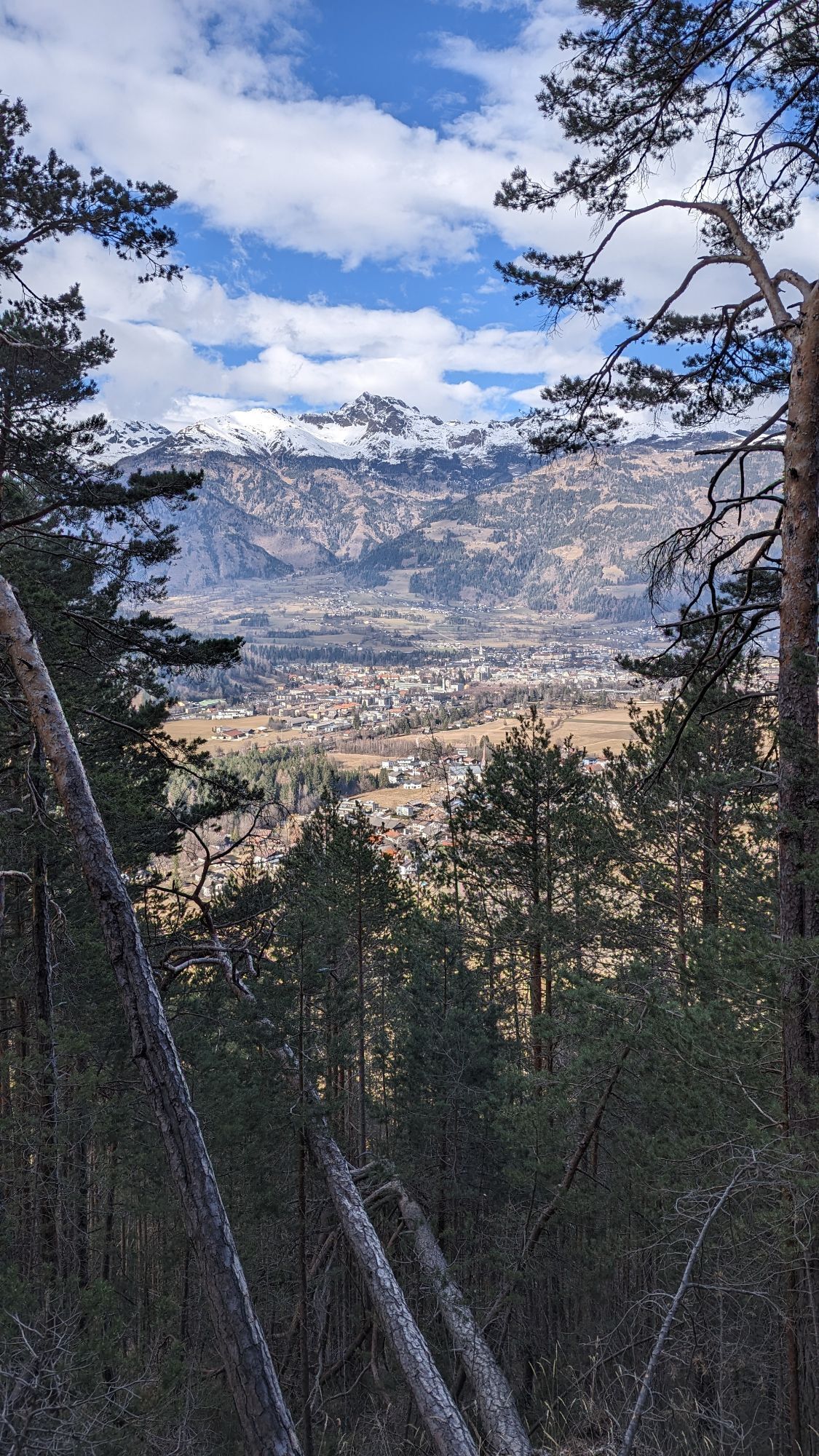
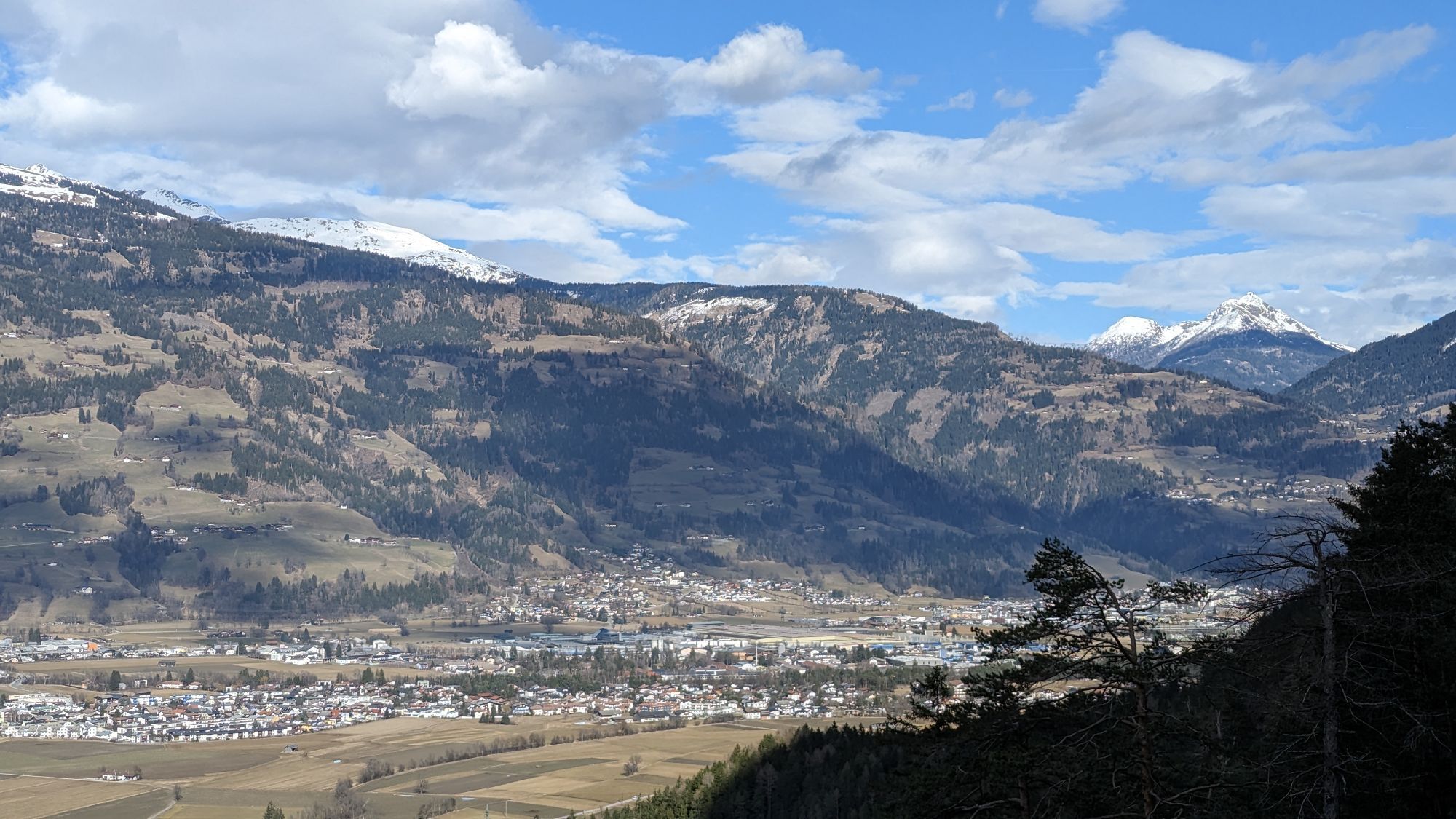
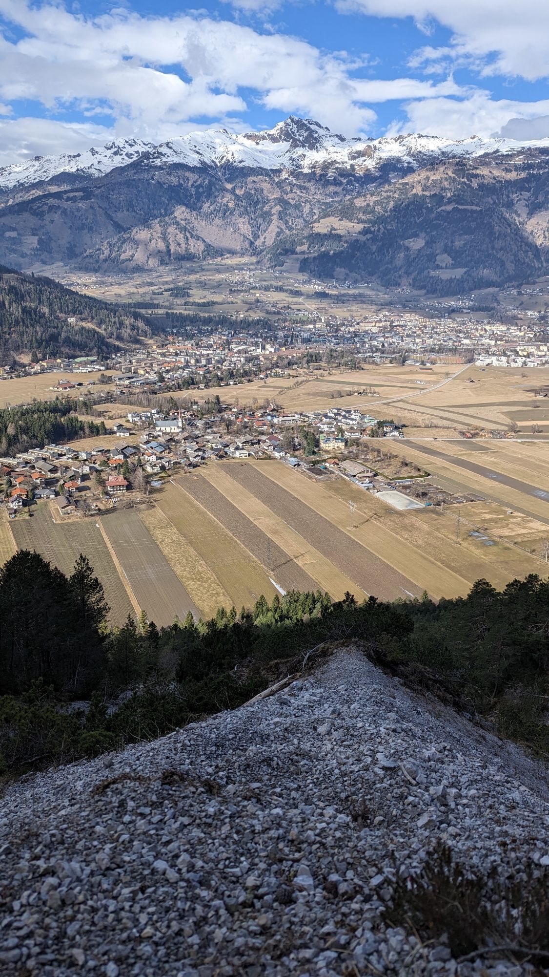
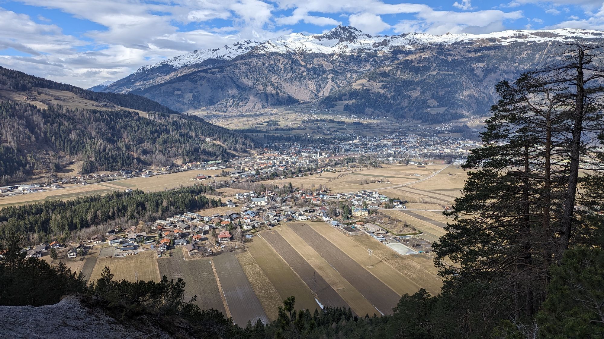
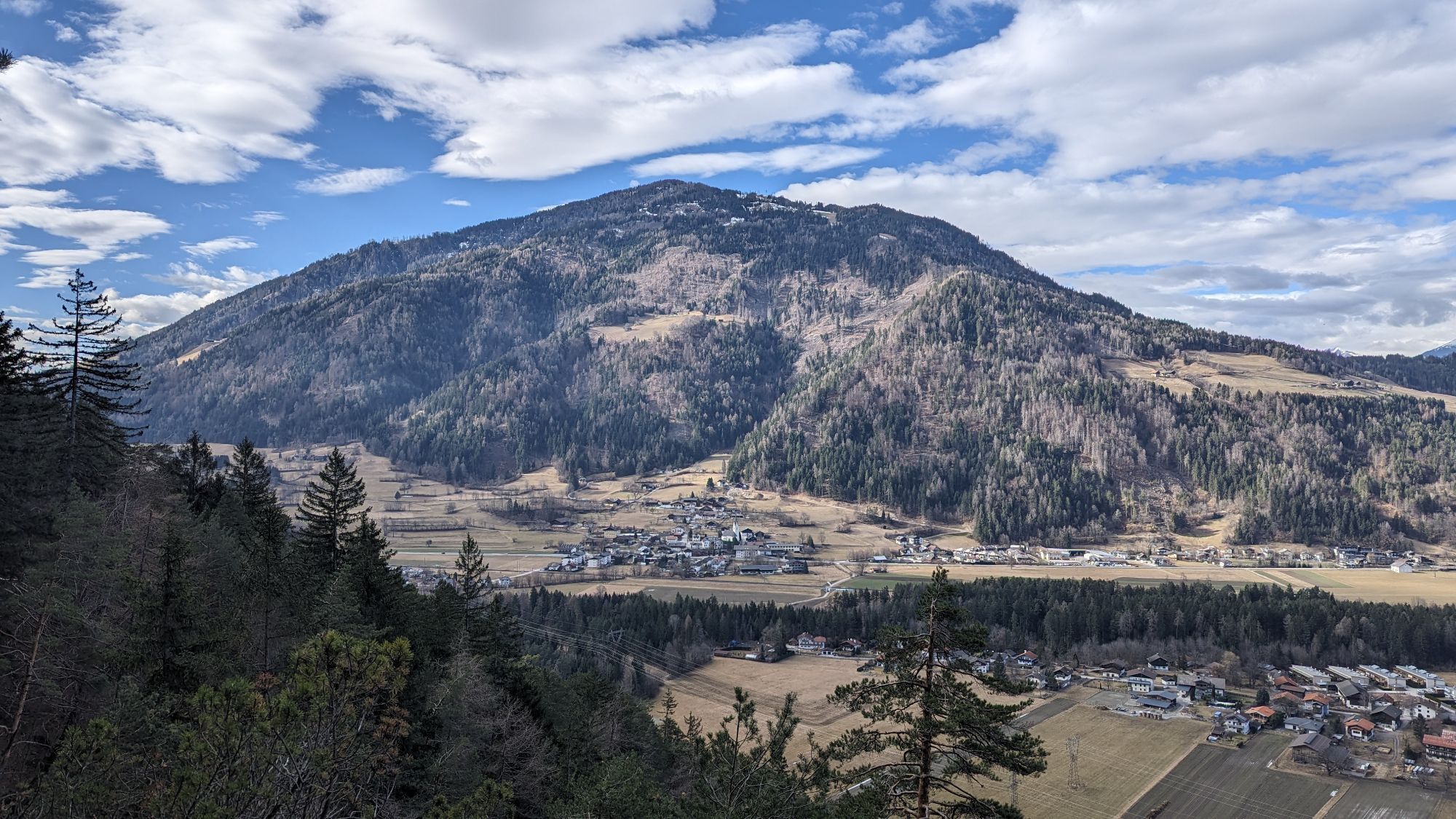
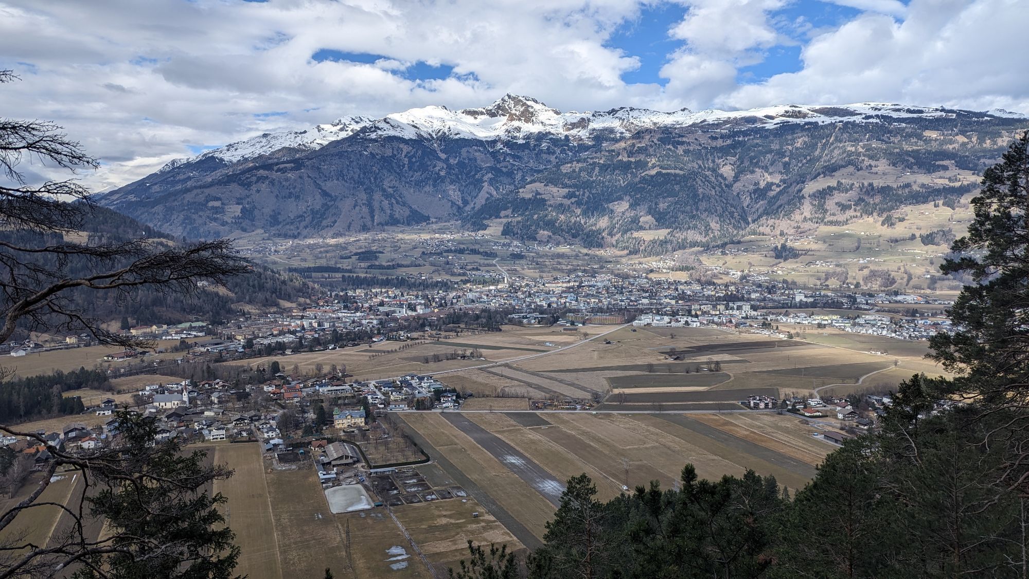


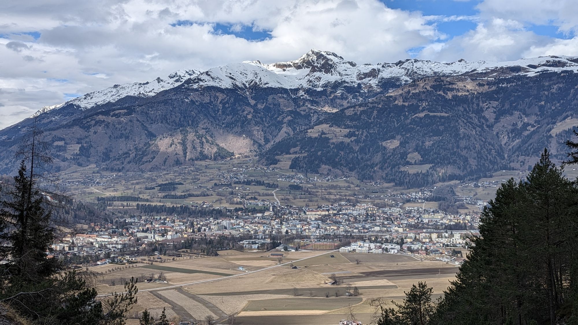
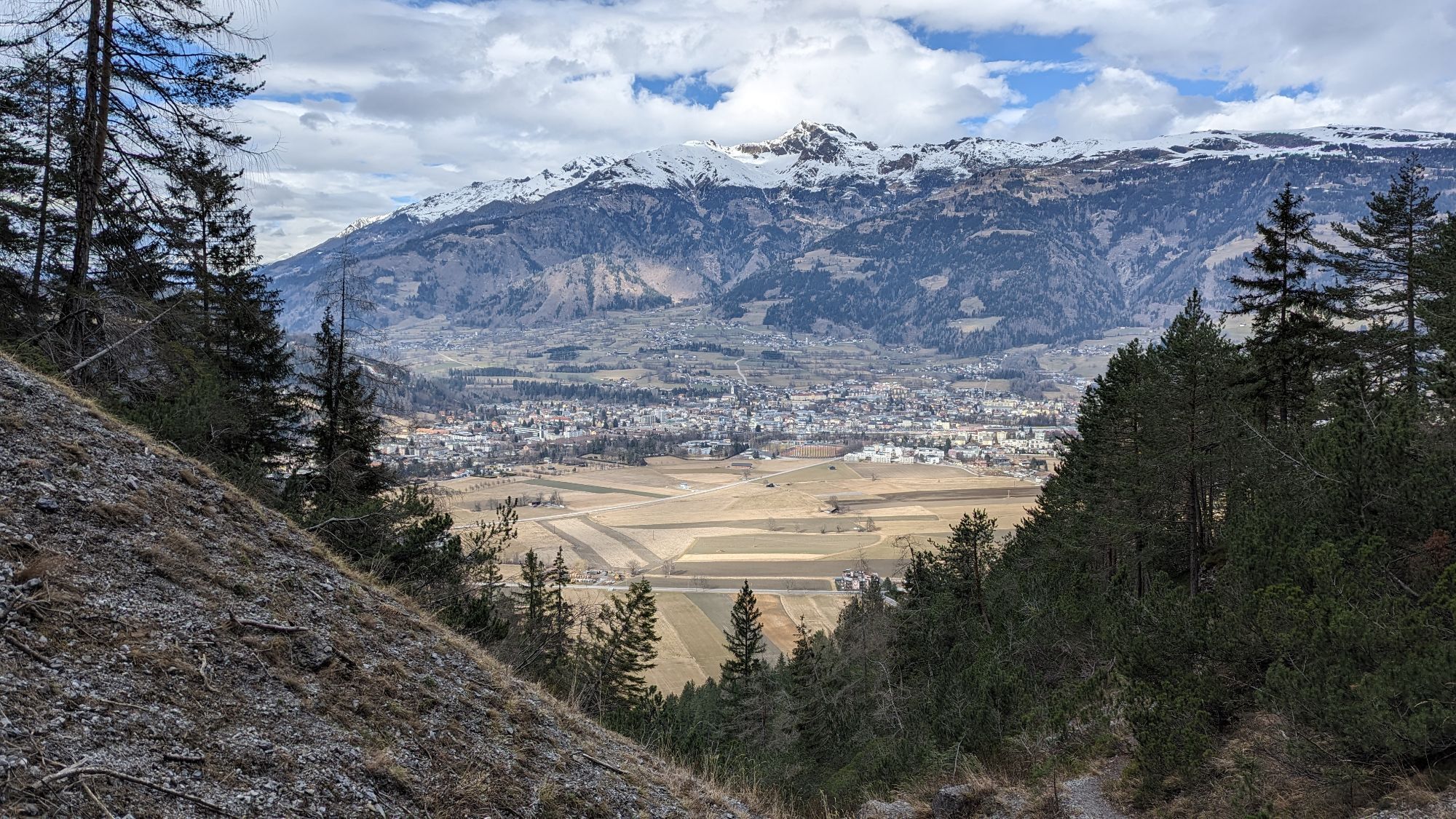
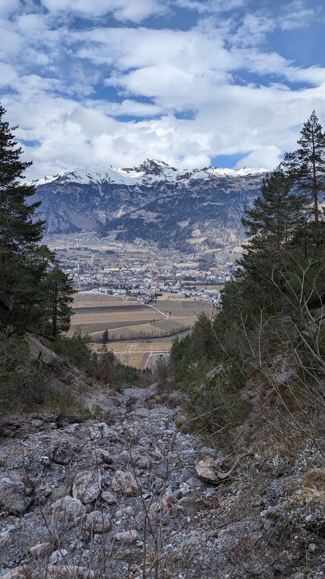
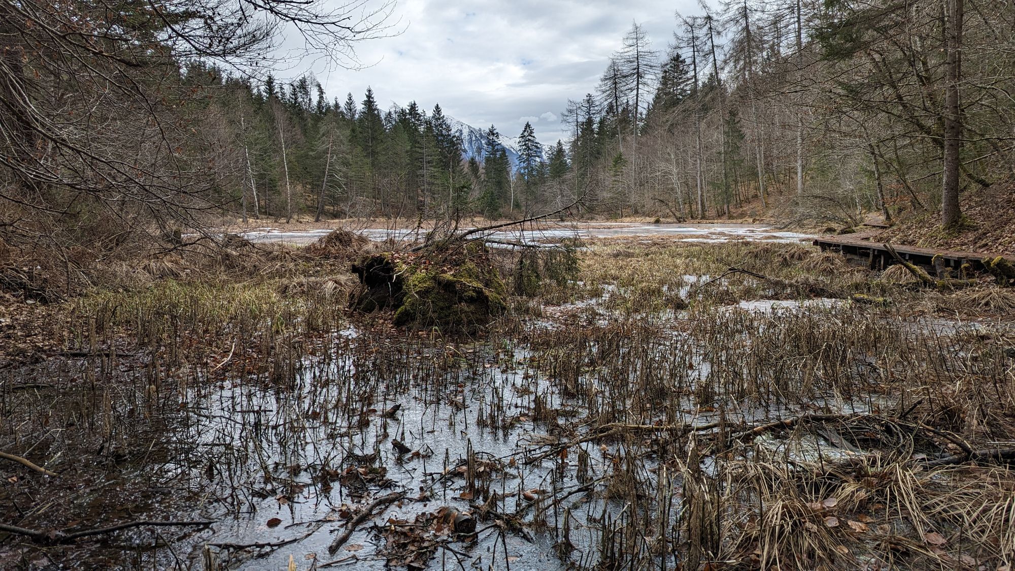
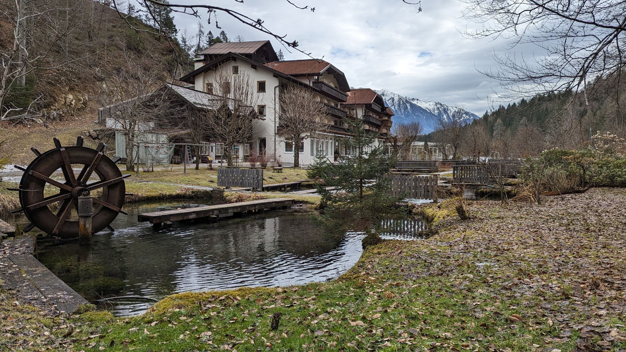


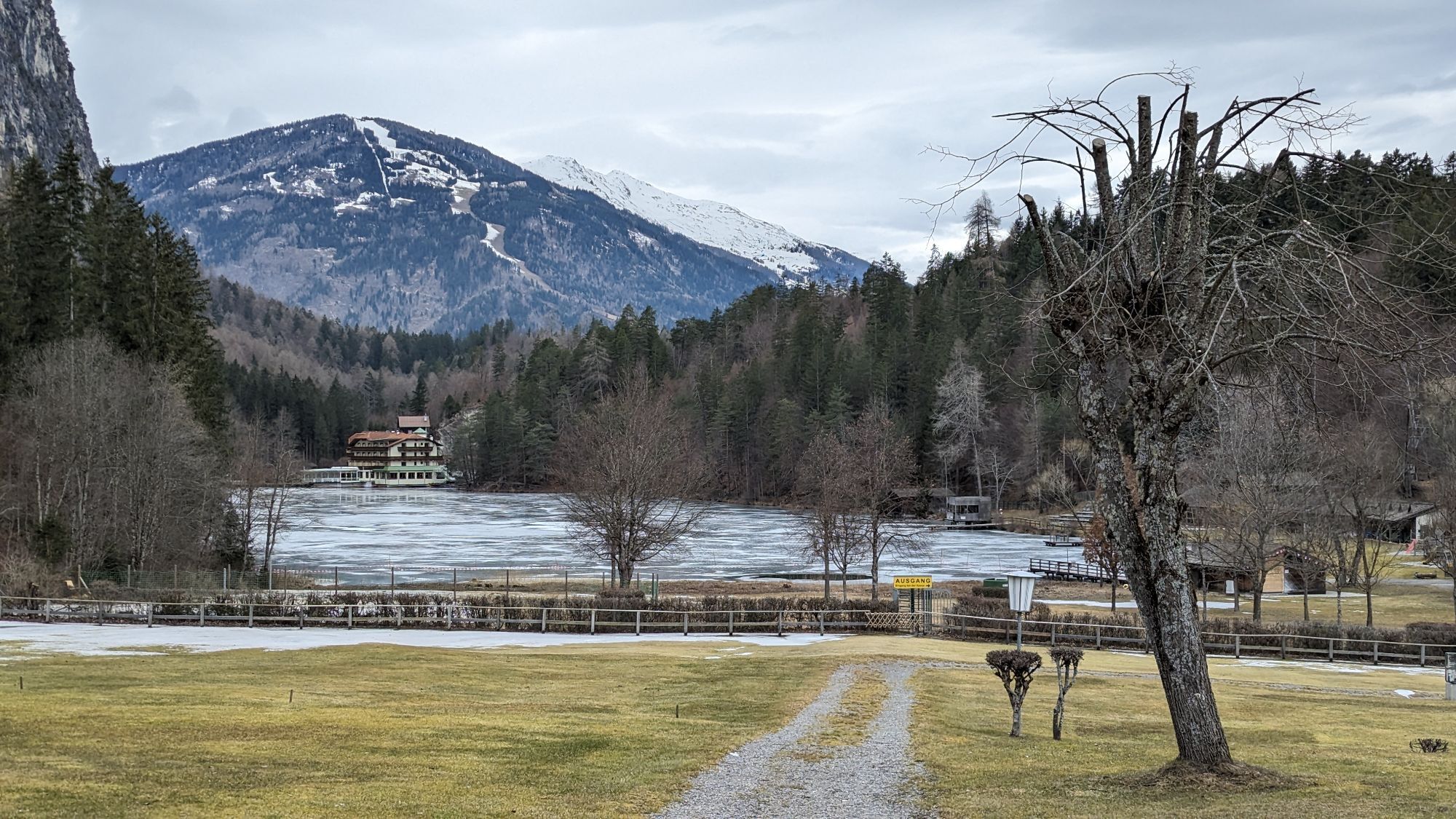
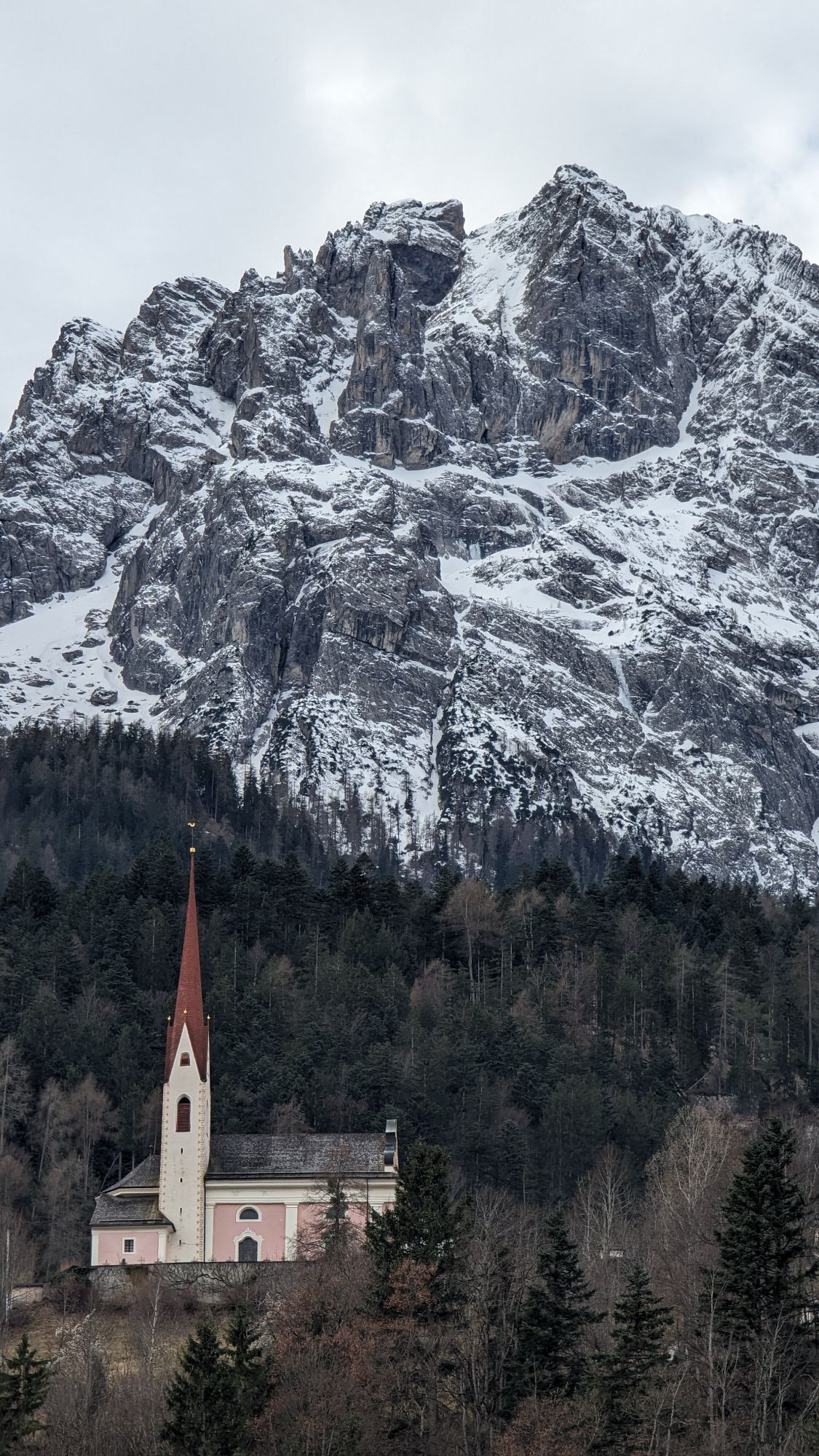


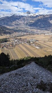
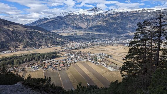
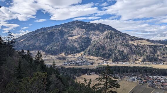
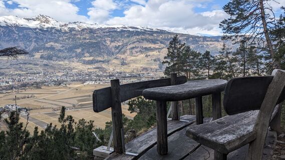
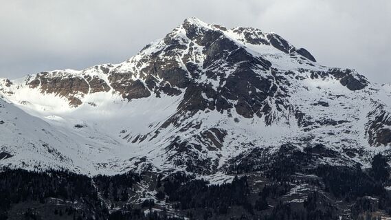
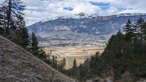
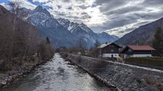
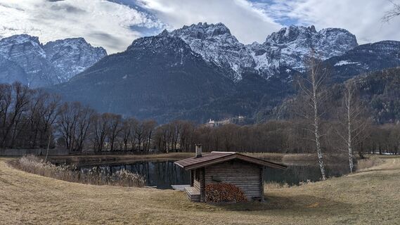
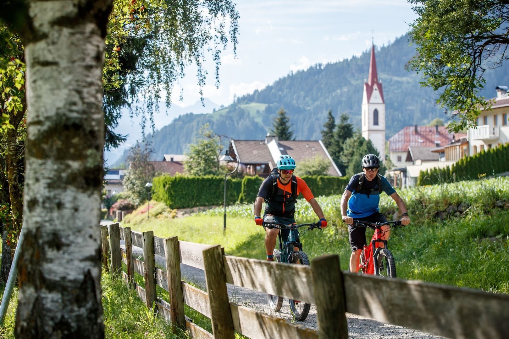
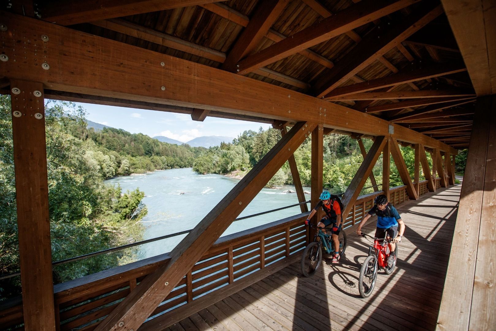
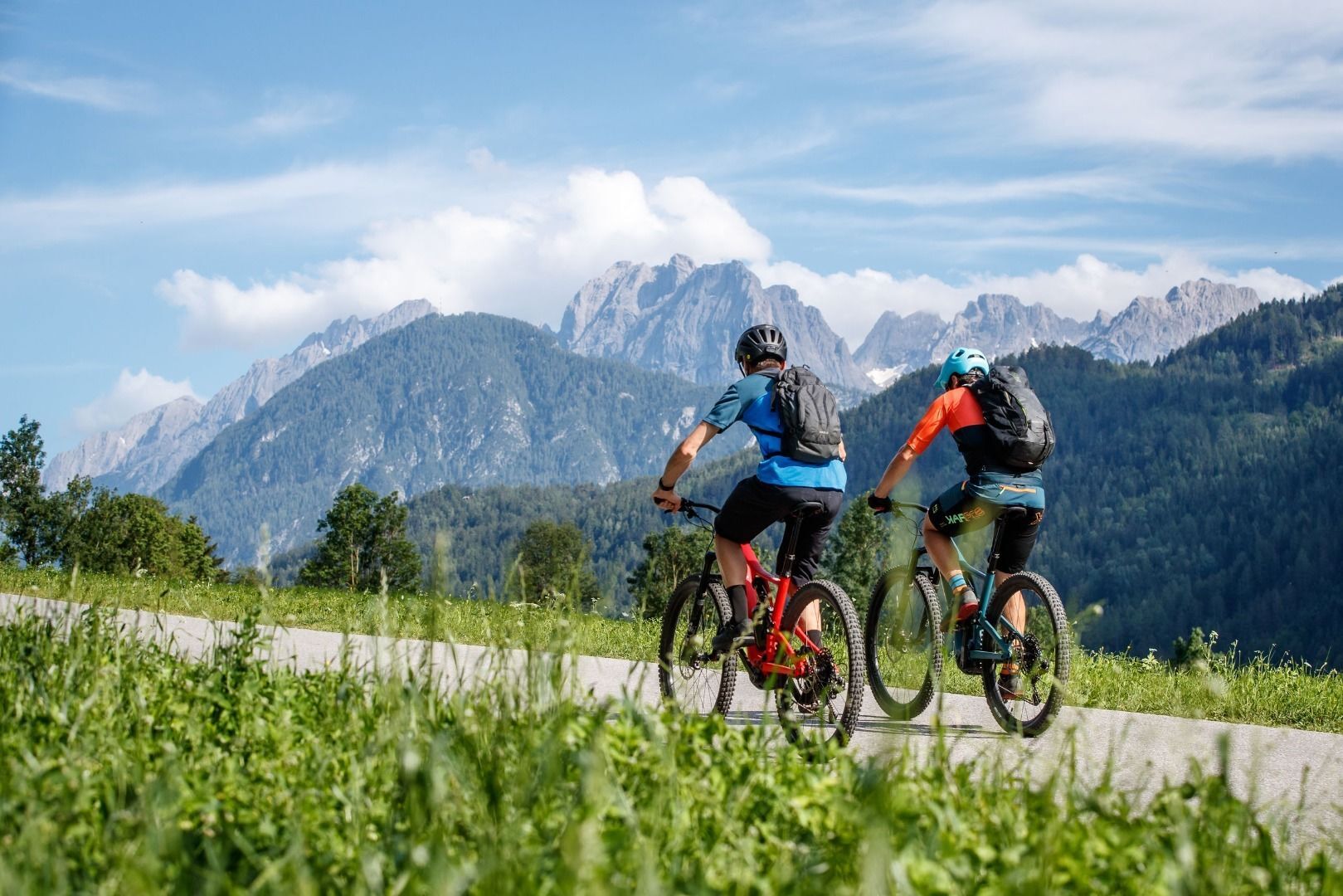
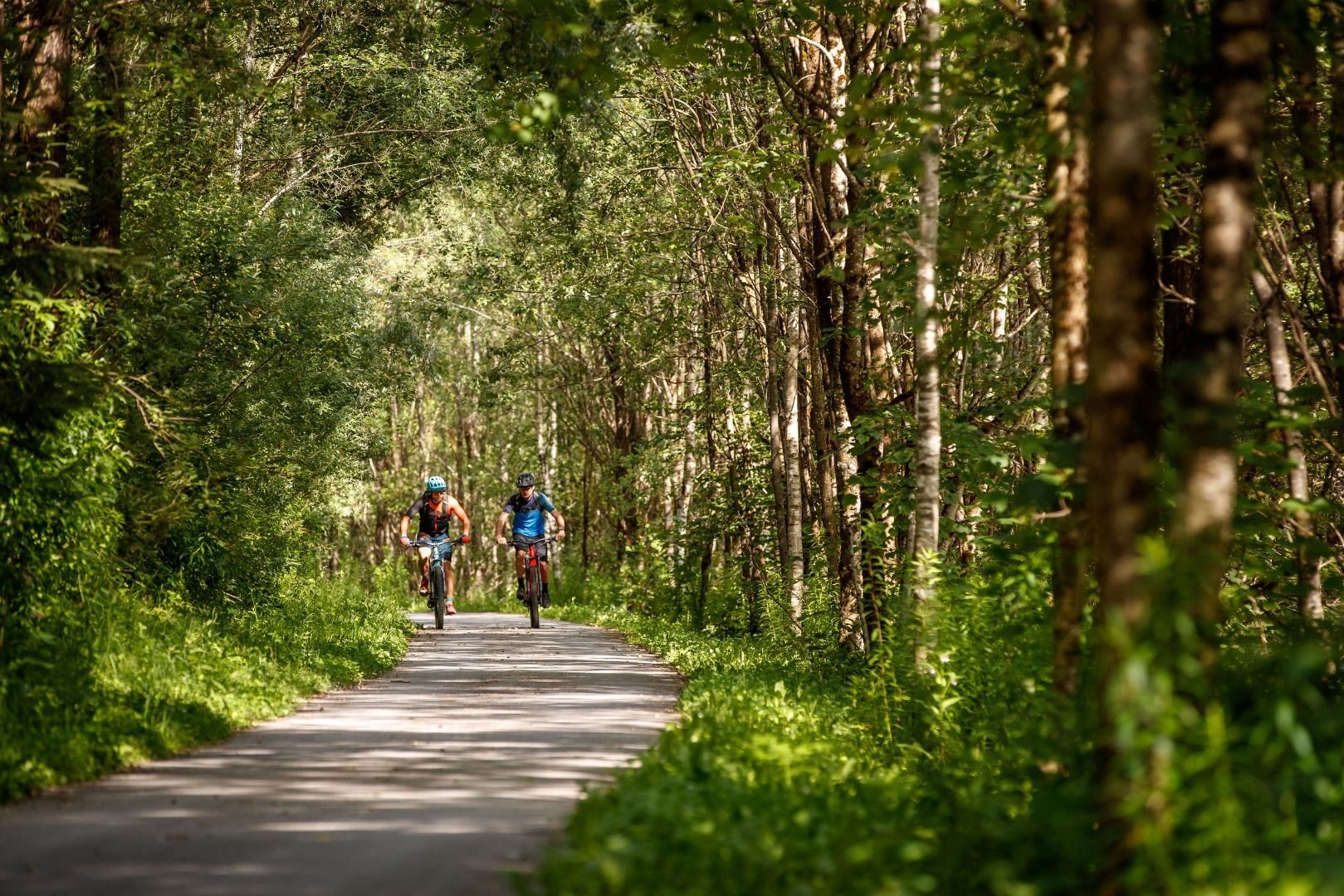
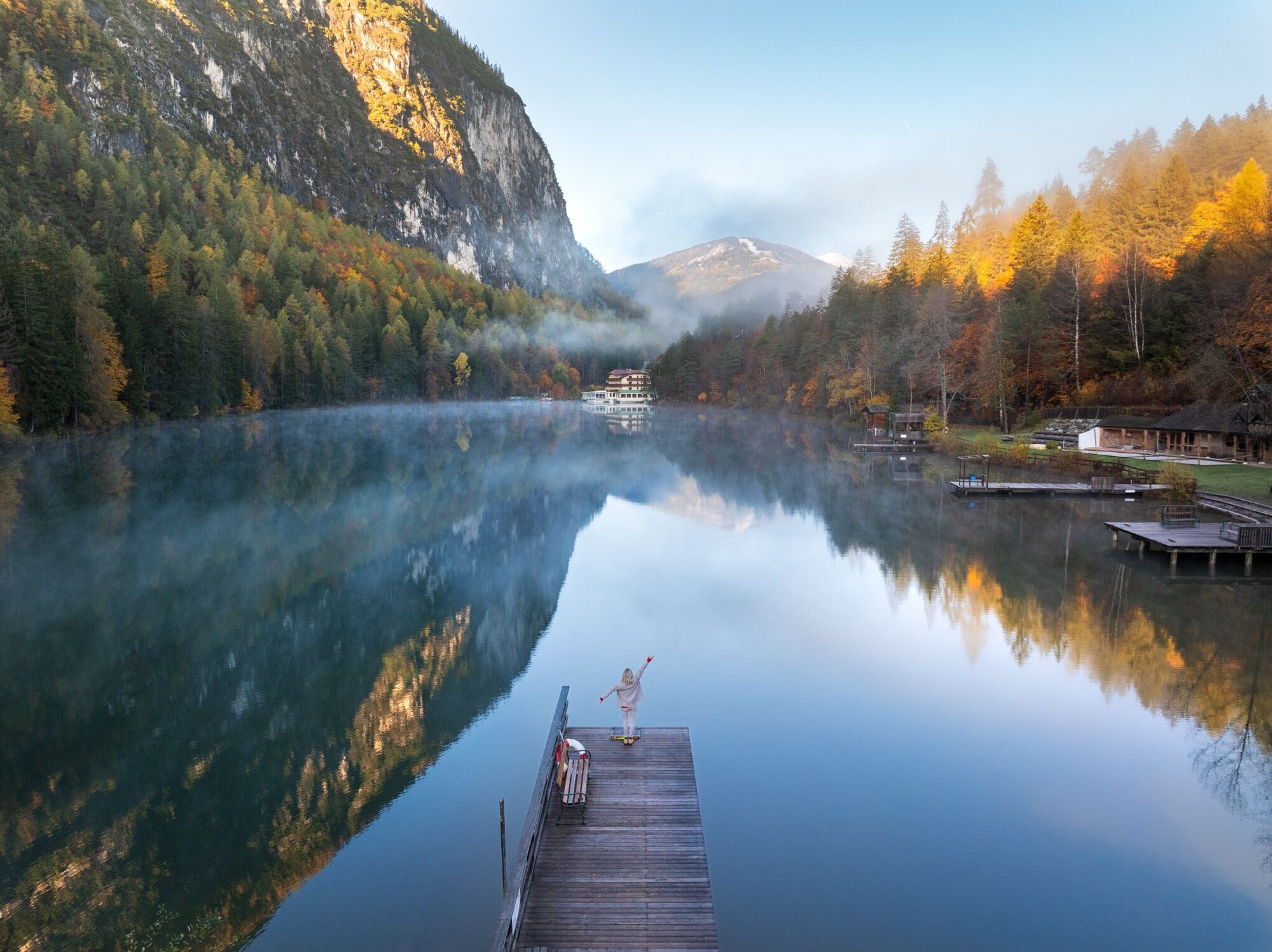
In the Lienz valley floor the cycle route proceeds around the main town in the district to the surrounding villages. The route is 40 km in length and therefore very suitable for family day excursions.
You...
Descripción de la
In the Lienz valley floor the cycle route proceeds around the main town in the district to the surrounding villages. The route is 40 km in length and therefore very suitable for family day excursions.
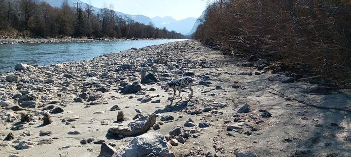
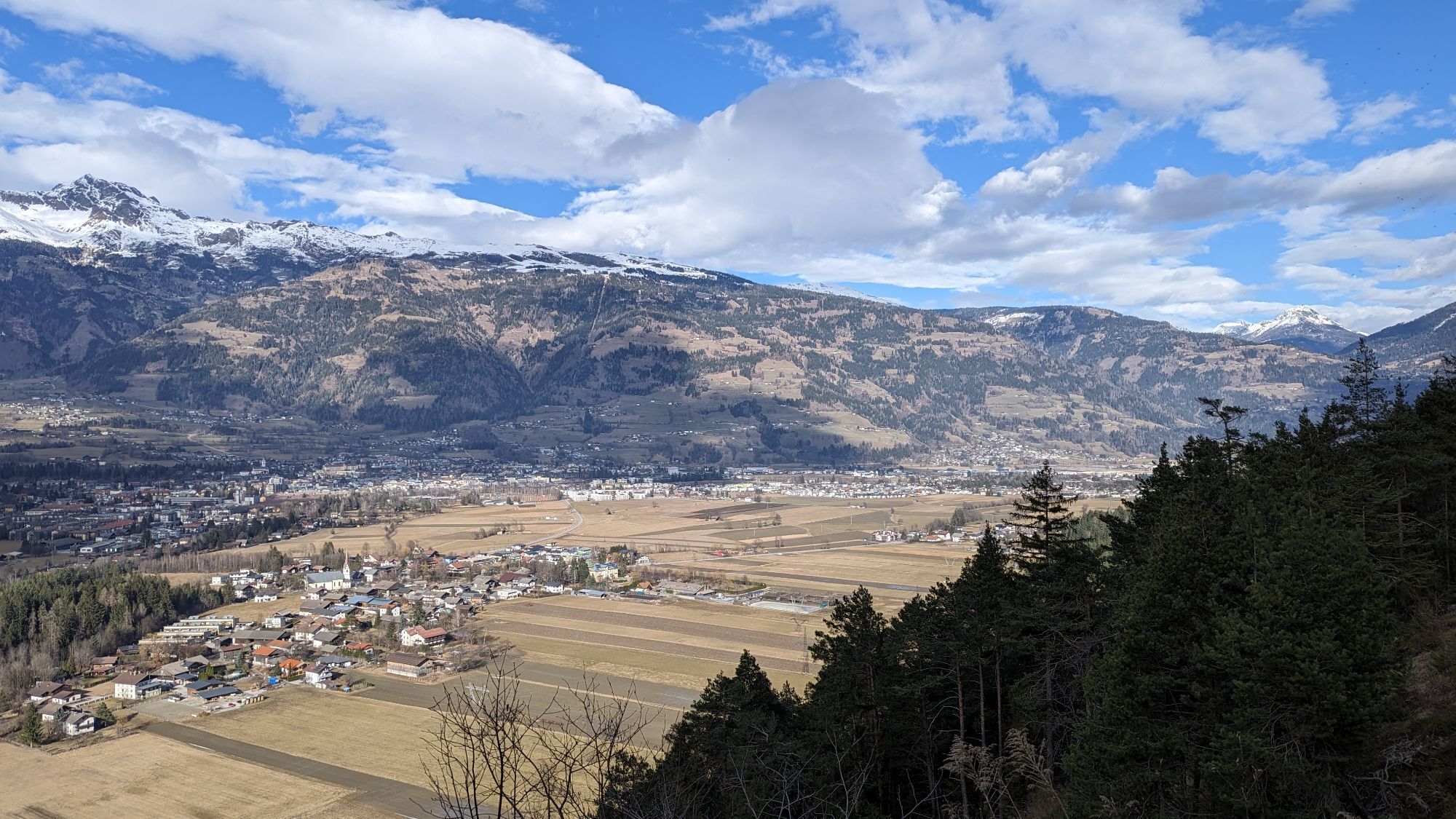
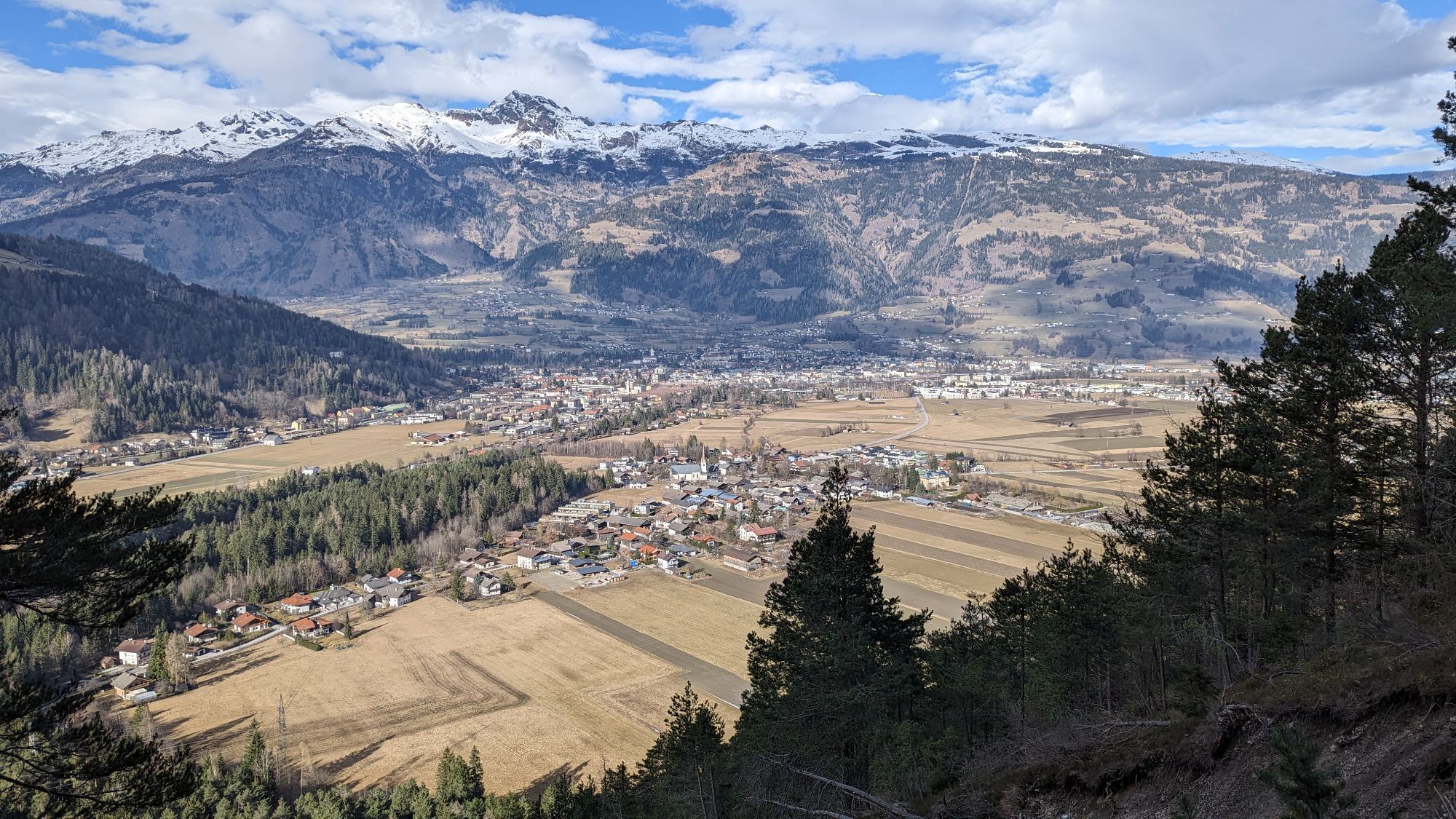
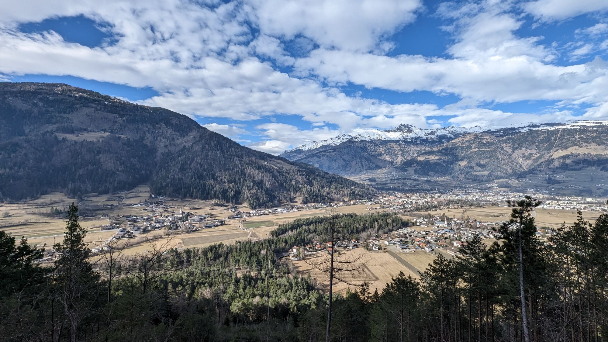
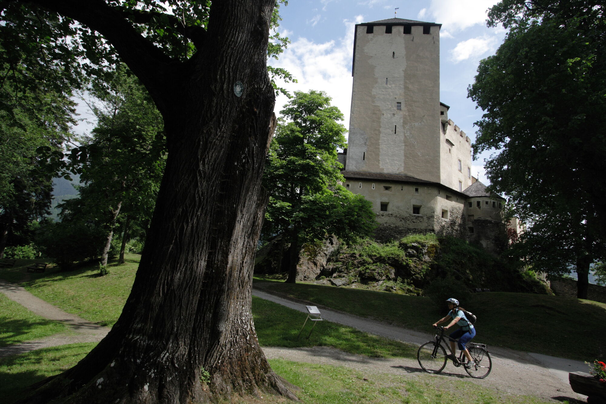
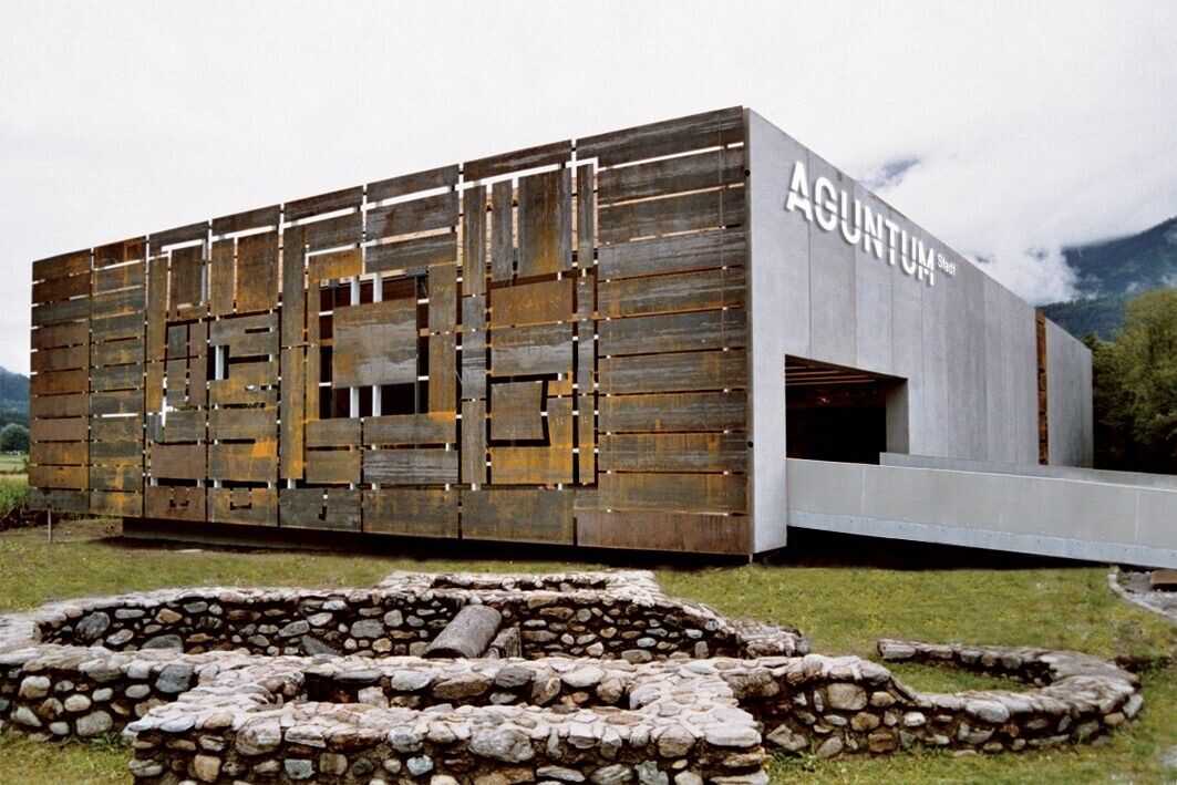
You can board at the valley station of the Hochsteinbahn in Lienz. If you follow the signs in direction of the Iseltal, you will get to Glanzer Bridge via the Iseltal Cycle Path, on across a little slope through the centre of Oberlienz, past idyllic country lanes north past Lienz to Debant, to the Roman settlement Aguntum, to Stribach, Dölsach and Gödnach. The tour across the Drava Cycle Path towards Carinthia is worthwhile since you will pass the Frauenbach Waterfall back on the way back via Lavant.
Cyclists will return along the Dolomite golf course next to the river Drava through the villages of Tristach, Amlach and Leisach. The cycle route is consistently signposted and marked with a seal. It is very varied, has only small slopes and offers beautiful views at many places. The main road can safely be crossed through underpasses. Numerous restaurants invite the cyclist to linger in beautiful gardens.
Ruta
Lienz
(674 m)
Ciudad
0,0 km
Oberlienz
(758 m)
Lugar de culto
6,0 km
Lienz
(674 m)
Ciudad
9,3 km
Sankt Silvester Kapelle
(665 m)
Lugar de culto
13,4 km
Pfarrkirche Dölsach
(732 m)
Lugar de culto
17,5 km
St. Georg
(748 m)
Lugar de culto
18,1 km
Goggkreuz
(695 m)
Cumbre
35,1 km
Ruta
Lienz valley floor cycle route No. 35
luz
Ciclismo
39,04
km
Lienz
(674 m)
Ciudad
0,0 km
Oberlienz
(758 m)
Lugar de culto
6,0 km
Gasthof Oberwirt
(761 m)
Restaurante
6,1 km
Oberlienz
(780 m)
Pueblo
6,2 km
Oberdrum
(876 m)
Pueblo
6,7 km
Brunner-Stöckl (Oberbrunner-Kapelle)
(714 m)
Lugar de culto
9,0 km
Lienz
(674 m)
Ciudad
9,3 km
Patriasdorf
(733 m)
Pueblo
9,4 km
Wartschensiedlung
(684 m)
Liquidación
11,9 km
Nußdorf
(712 m)
Pueblo
12,5 km
Glocknersiedlung
(660 m)
Liquidación
12,9 km
Dolomitensiedlung
(661 m)
Liquidación
12,9 km
Sankt Silvester Kapelle
(665 m)
Lugar de culto
13,4 km
Mühlanger
(666 m)
Liquidación
13,5 km
Alt-Debant
(685 m)
Liquidación
14,0 km
Kohlplatzl
(685 m)
Restaurante
14,2 km
Kristallstüberl
(664 m)
Restaurante
14,6 km
Stribach-Süd
(657 m)
Pueblo
14,8 km
Stribach
(673 m)
Pueblo
16,1 km
Göriach
(788 m)
Pueblo
16,4 km
Dölsach
(700 m)
Pueblo
17,4 km
Pfarrkirche Dölsach
(732 m)
Lugar de culto
17,5 km
St. Georg
(748 m)
Lugar de culto
18,1 km
Gödnach
(712 m)
Pueblo
18,7 km
Görtschach
(754 m)
Pueblo
18,8 km
Lavant
(678 m)
Pueblo
25,7 km
Vincena Restaurant & Weinbar
(650 m)
Restaurante
27,4 km
Tristach
(671 m)
Pueblo
32,5 km
Dorfstube
(671 m)
Restaurante
32,5 km
Ulrichsbichl
(686 m)
Liquidación
33,6 km
Amlach
(689 m)
Pueblo
34,3 km
Goggkreuz
(695 m)
Cumbre
35,1 km
Leisach-Gries
(705 m)
Pueblo
35,9 km
Leisach
(708 m)
Pueblo
36,2 km
Leisacherwirt
(700 m)
Restaurante
36,5 km
Brauerei Gasthof Falkenstein
(687 m)
Restaurante
37,6 km
Lienz
(674 m)
Ciudad
39,0 km
Autor
Proporcionado por TVB Osttirol
Compartir gira
Lienz valley floor cycle route No. 35
luz
Ciclismo
39,04
km
Error
Se ha producido un error. Por favor, inténtelo de nuevo.
Último seguimiento
5 hace días
Información de llegada
Llegada
Coming from Lienz railway station, drive in the direction of Iseltal and park at the Hochstein car park.
Transporte público
Take the bus to the bus stop "Lienz Hochstein/Schloss Bruck".
Aparcamiento
Hochstein car park
Valoraciones
Webcams del recorrido
-
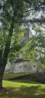
Hochsteinhütte
-
Zettersfeld /Obergaimberg
-
Lienz/Zettersfeld
-
Lienz Hauptplatz
-
Tristachersee
-
Amlach - Naturrodelbahn Lienzer - Dolomiten
-
Ederplan
-
Lienz Faschingalm
-
Zettersfeld - Bergstation Steinermandl
-
Dolomitenhütte
-
Camping Seewiese
-
Lavant - Dolomitengolf
-
Lavant - Dolomitengolf
-
Lavant - Dolomitengolf
-
Zettersfeld - Bergstation Faschingalm
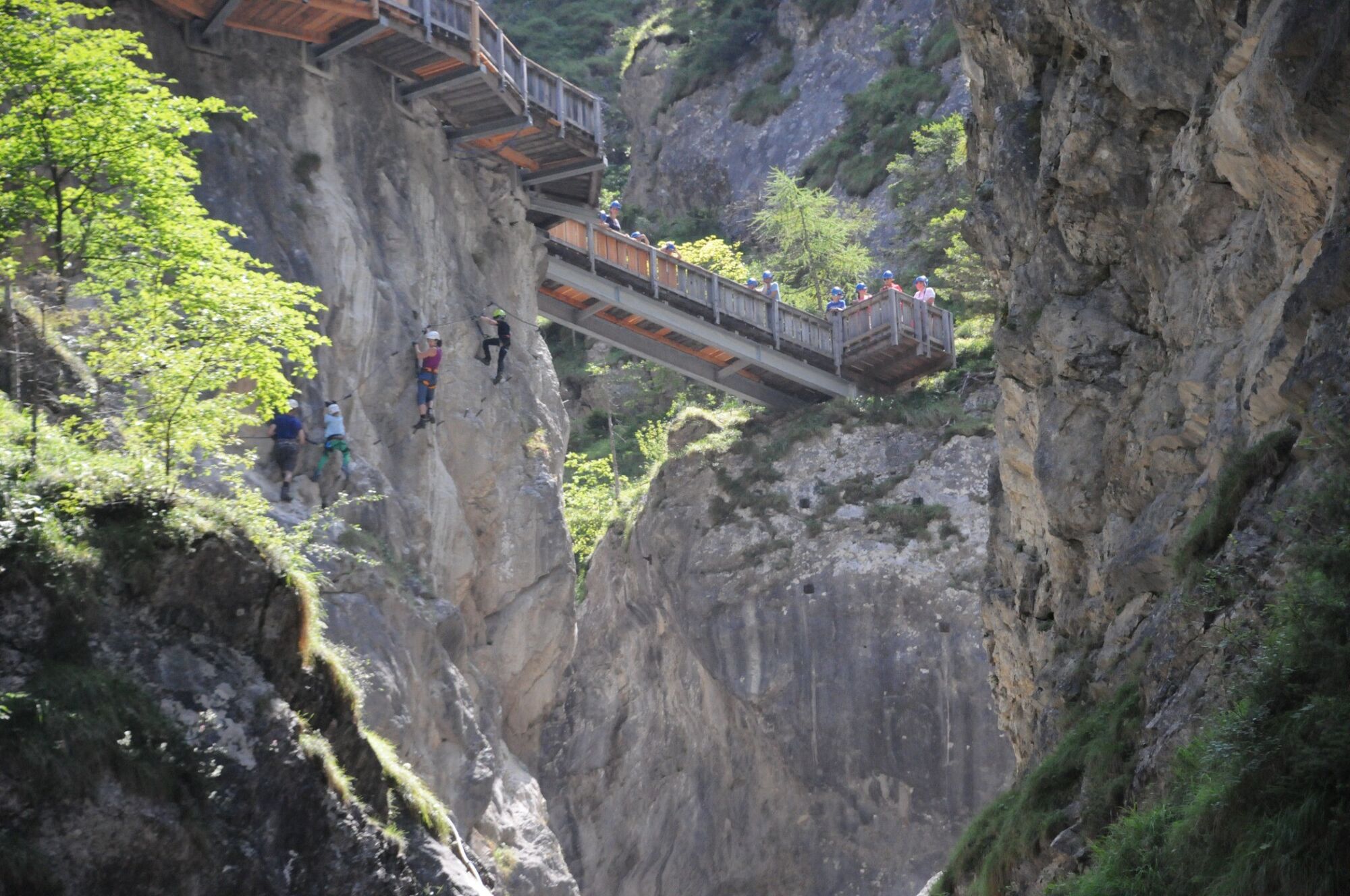
Actividades a lo largo del recorrido

Rutas populares en los alrededores
-
4,9
Wangennitzsee Hütte
medioSenderismo 3,80 km -
4,7
Karlsbader Hütte über Rudl-Eller-Weg
pesadoSenderismo 5,10 km -
4,9
Pirknerklamm (C)
medioVía ferrata 2 km -
4,8
Lienzer Dolomiten-Lasertörl
medioSenderismo 13,2 km -
4,7
Glödis 3206m: PP Seichenbrunn, Lienzer Hütte, Glödis KS A/B
pesadoExcursión de alta montaña 16,1 km -
5,0
Recorrido Ederplan desde el aparcamiento de Stronach
medioSenderismo 7,19 km -
3,9
Karlsbader Hütte - Lienzer Dolomiten
Senderismo 8 km -
3,9
Excursión a la cumbre del Hochstadel
medioSenderismo 7,83 km -
3,2
Straßkopf
medioEsquí de travesía 10,6 km -
4,1
Straßkopf
medioSenderismo 4,06 km

Senderismo y rastreo

Más de 550.000 sugerencias de excursiones, mapas detallados y un intuitivo planificador de rutas hacen de esta aplicación una herramienta imprescindible para todos los amantes de la naturaleza.

No se pierda las ofertas y la inspiración para sus próximas vacaciones
Suscribirse al boletín de noticias
Error
Se ha producido un error. Por favor, inténtelo de nuevo.
Gracias por inscribirse
Su dirección de correo electrónico se ha añadido a la lista de correo.
Viajes por Europa
Austria
Suiza
Alemania
Italia
Eslovenia
Francia
Países Bajos
Belgium
Polonia
Liechtenstein
República Checa
Slovakia
España
Croacia
Bosnia y Herzegovina
Luxemburgo
Andorra
Portugal
Iceland
United Kingdom
Ireland
Greece
Albania
North Macedonia
Malta
Norway
Montenegro
Moldova
Kosovo
Hungary
San Marino
Romania
Estonia
Latvia
Belarus
Cyprus
Lithuania
Serbia
Bulgaria
Monaco
Denmark
Sweden
Finland