





EUREGIO Mary Way-M1
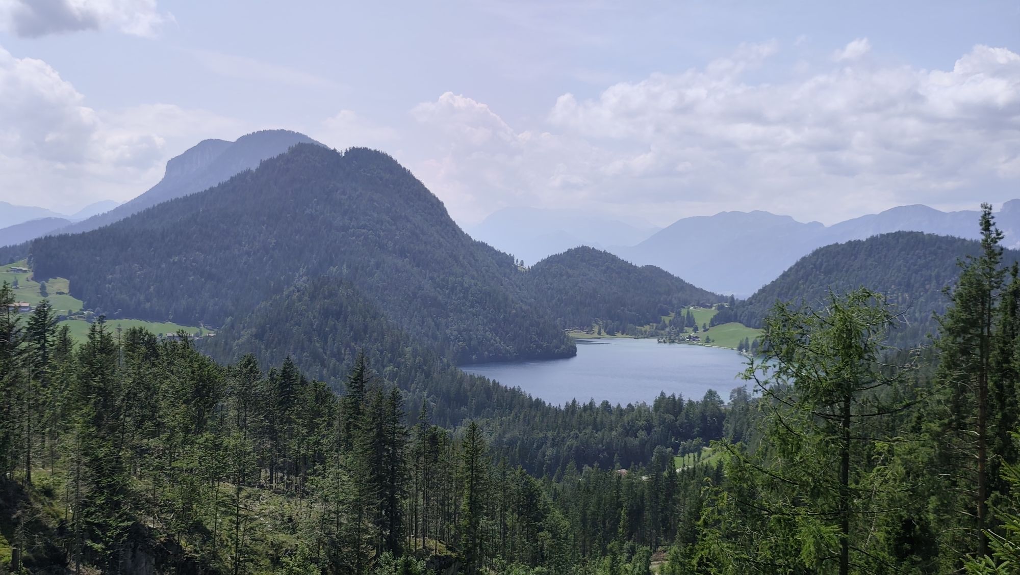
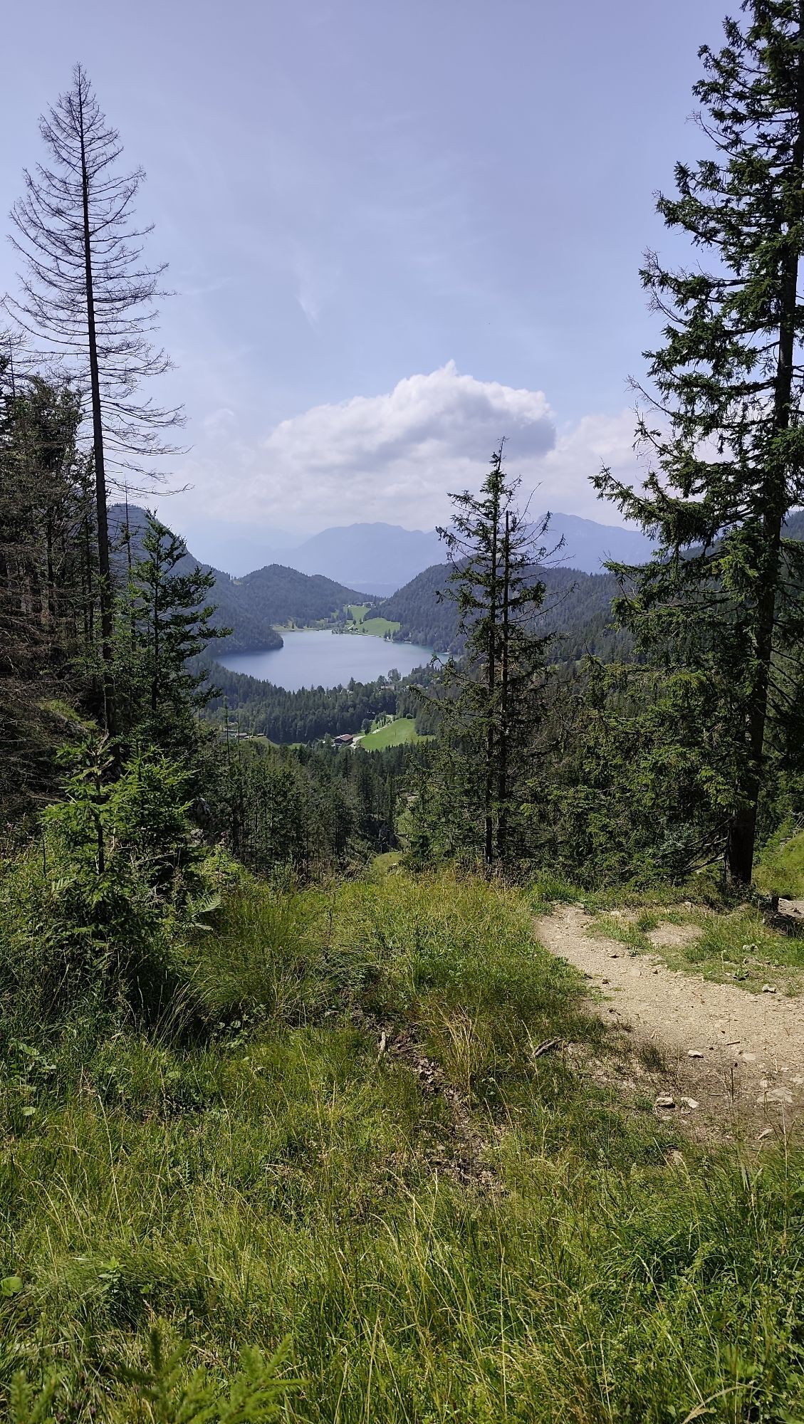
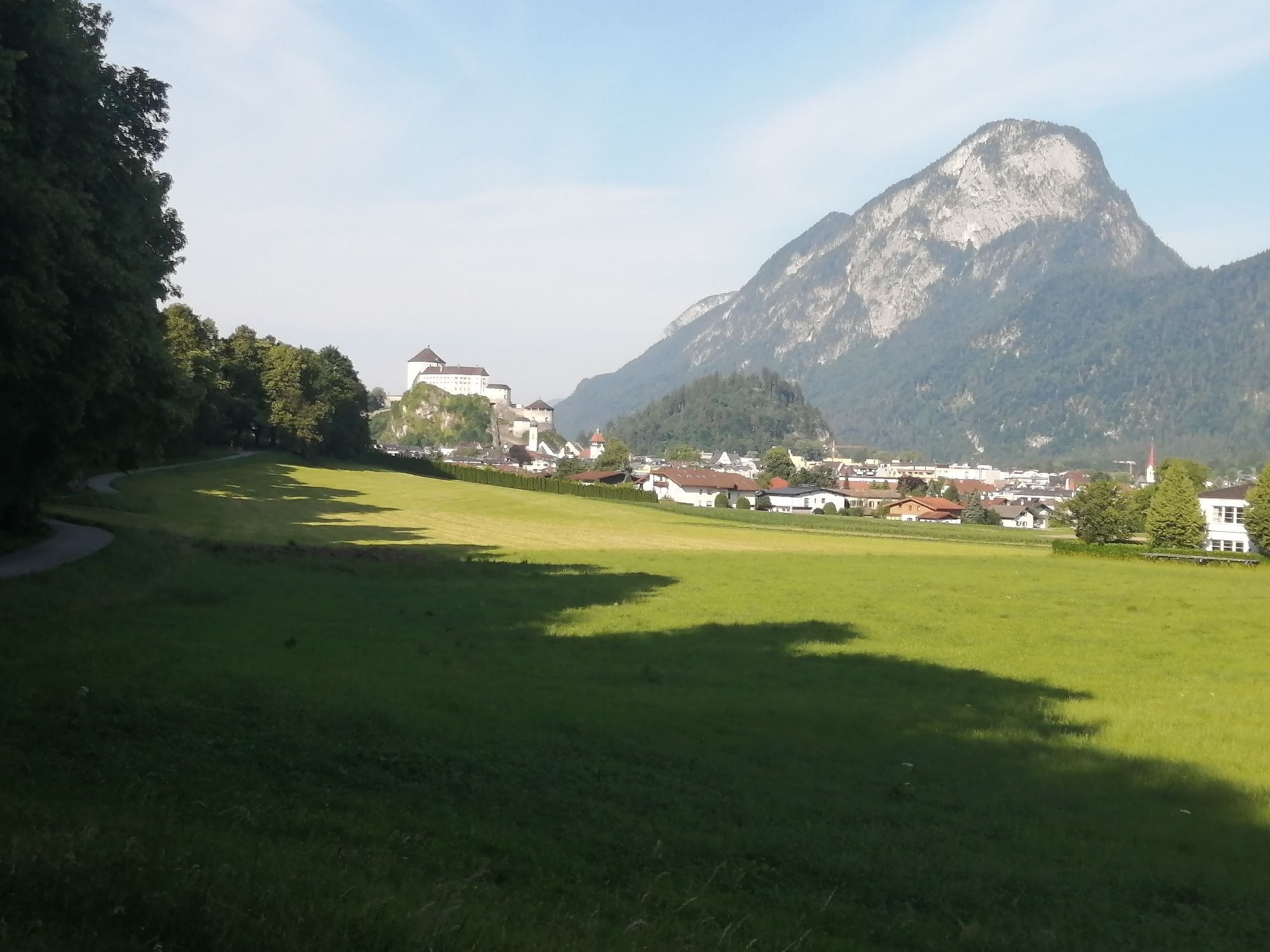
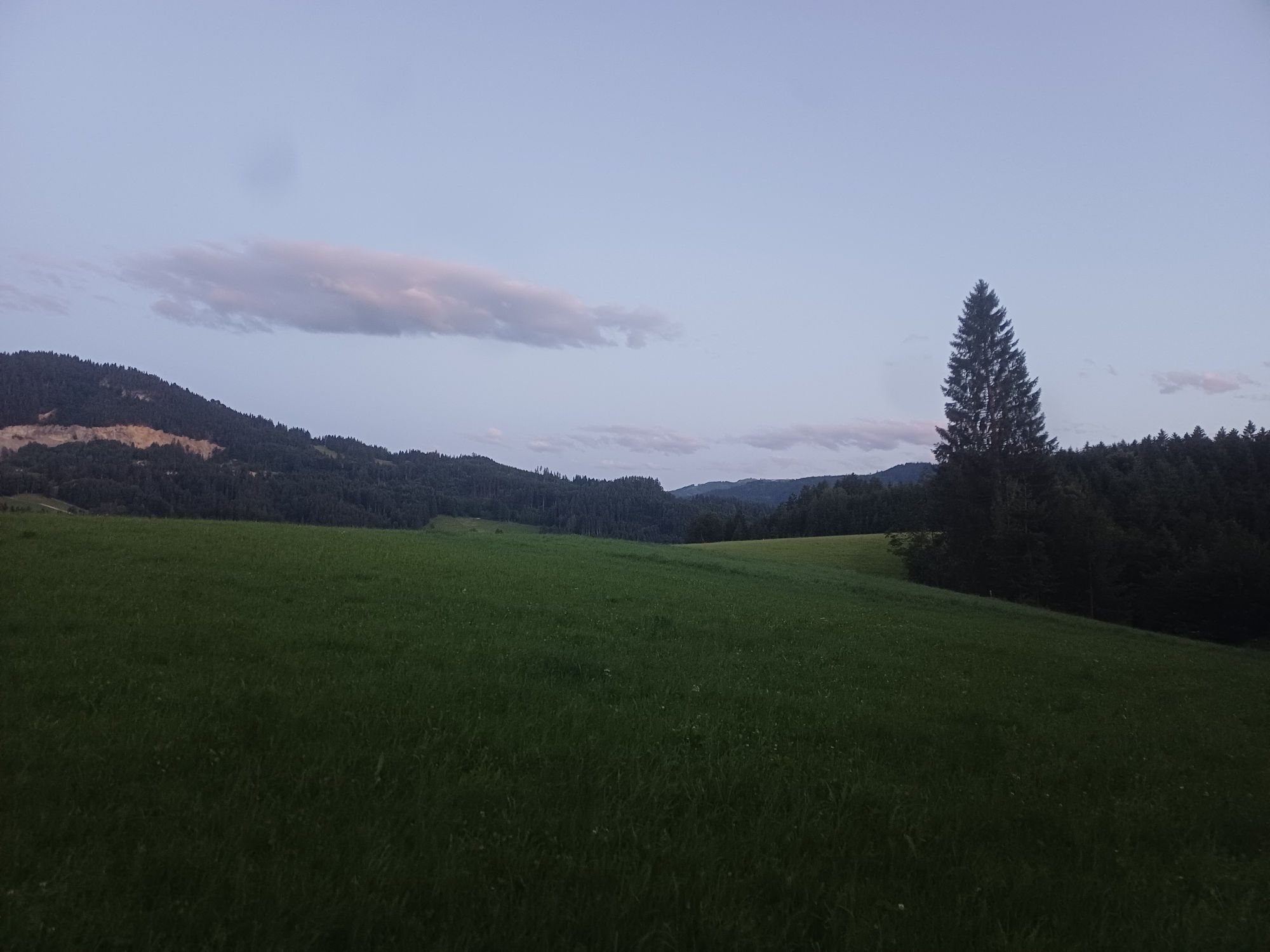

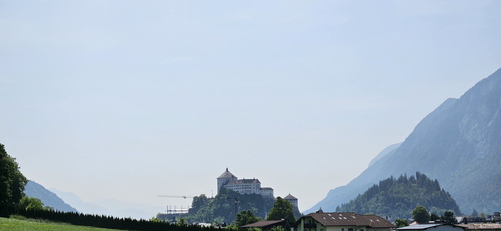
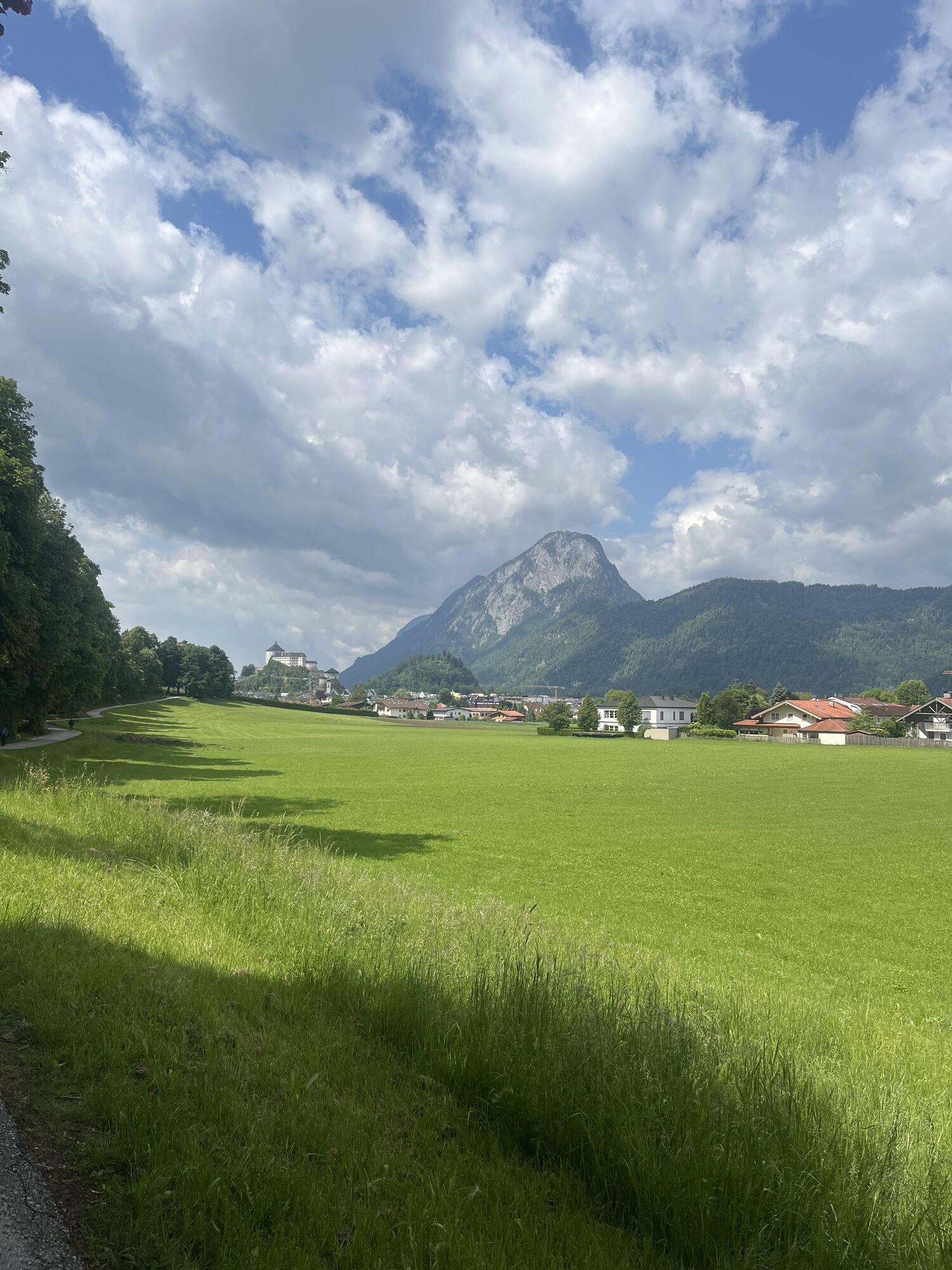

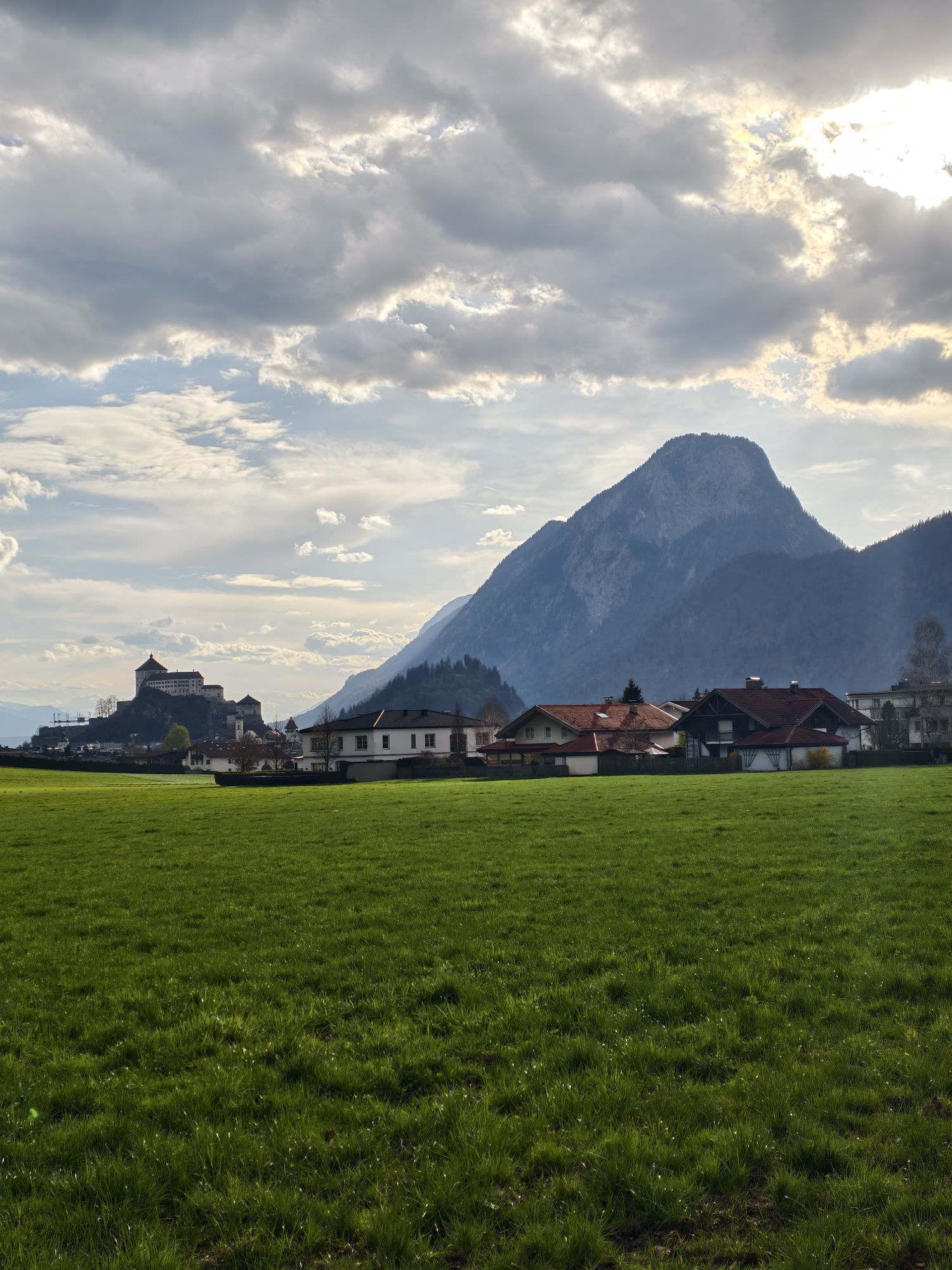
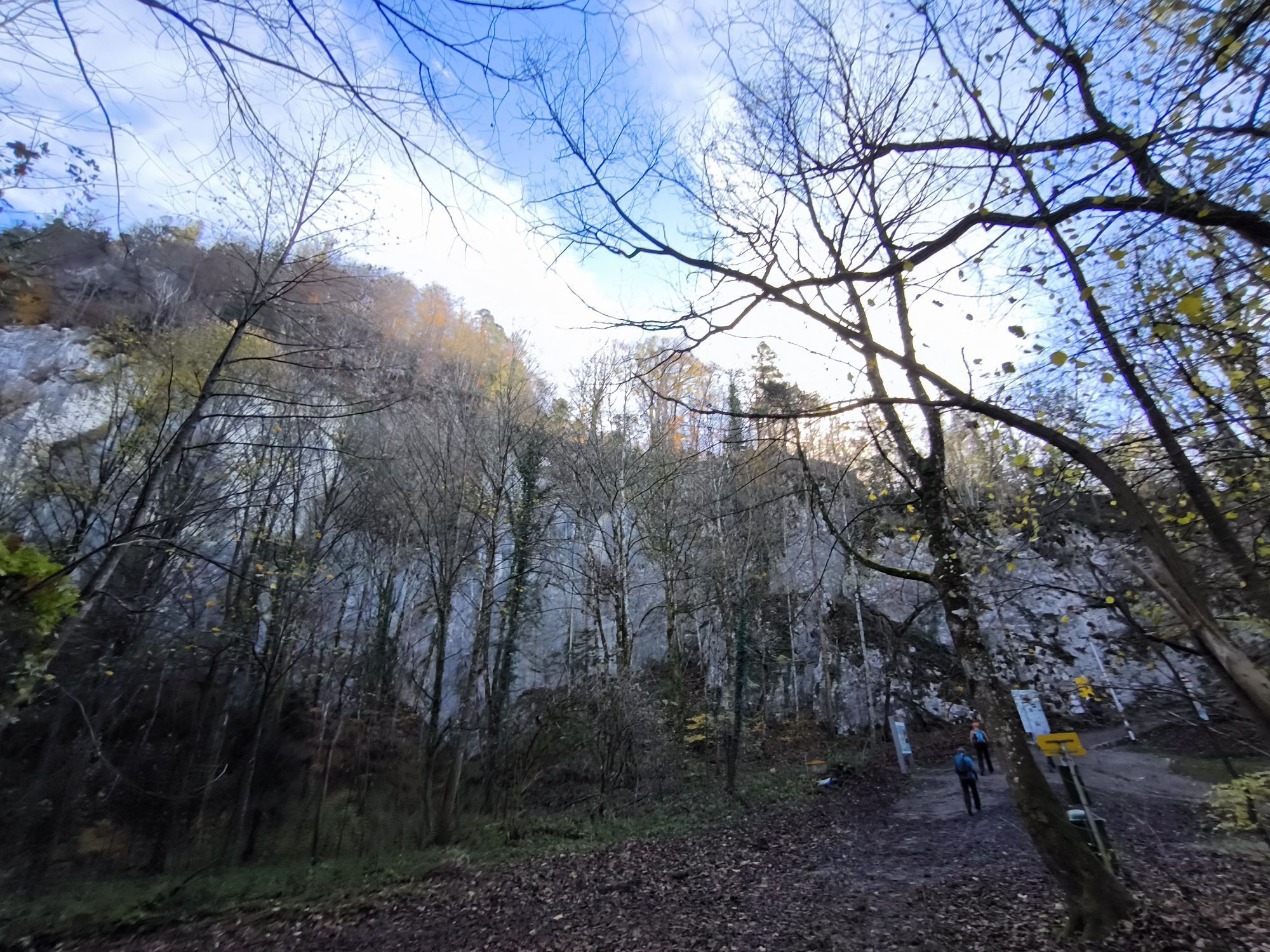
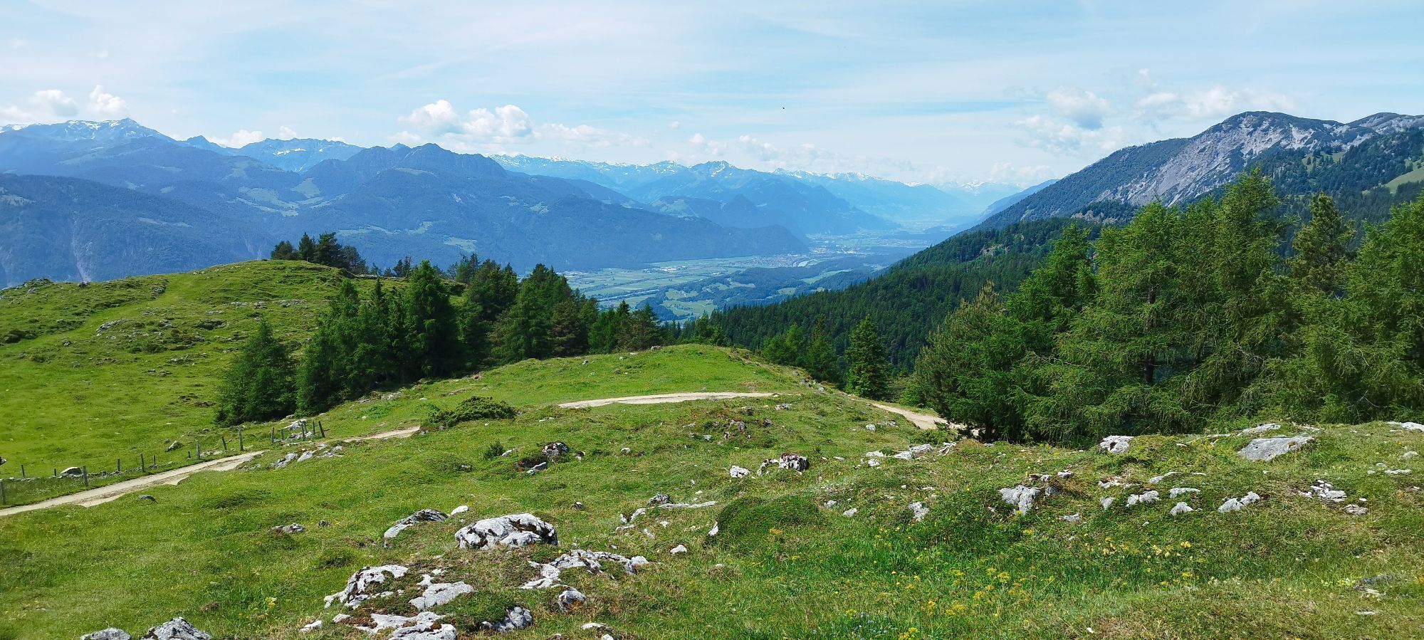
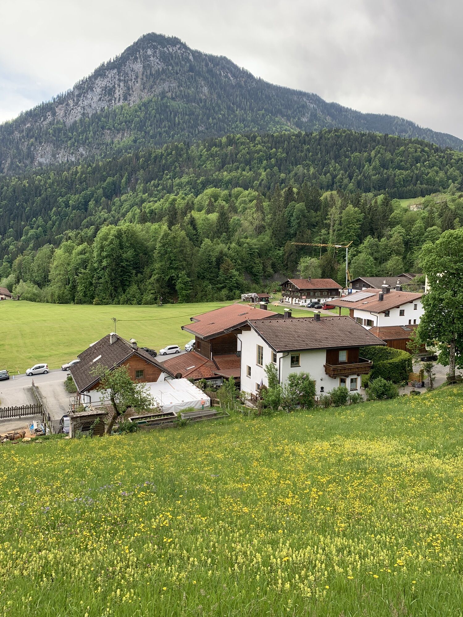
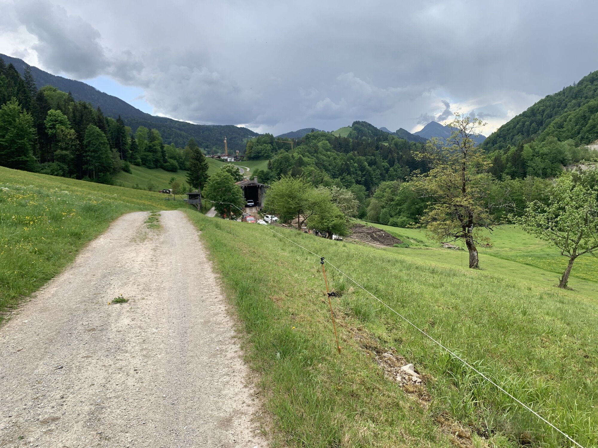
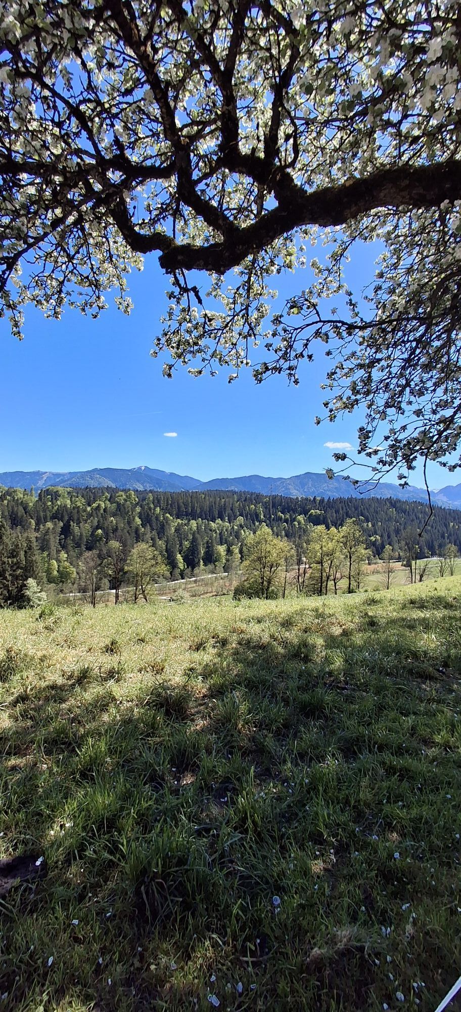
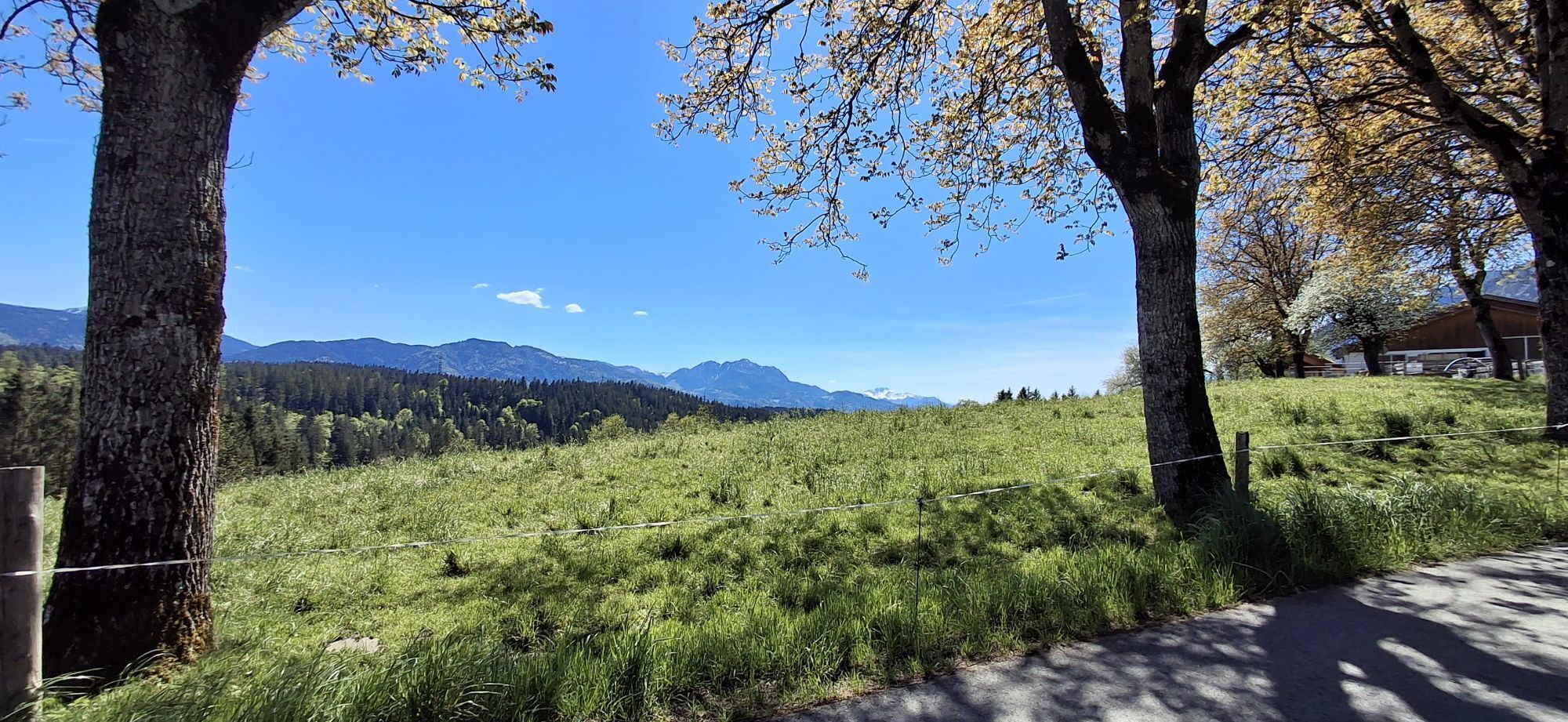
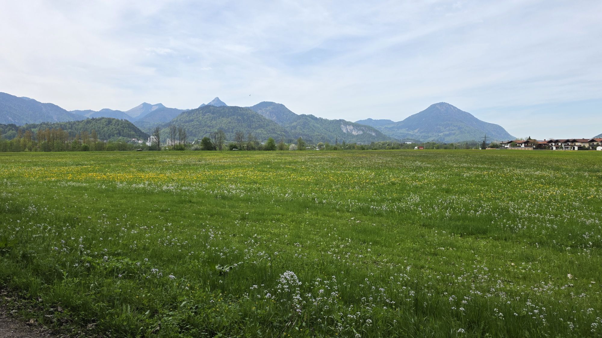
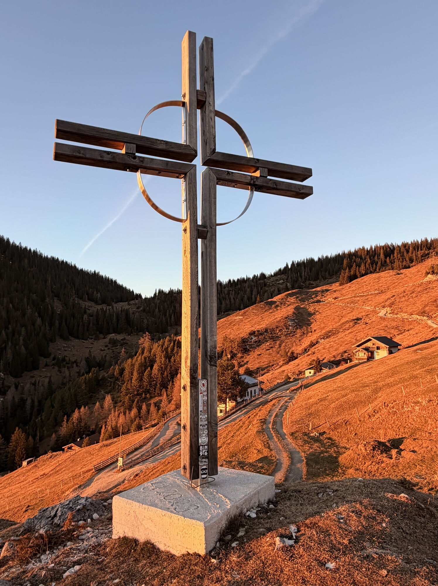
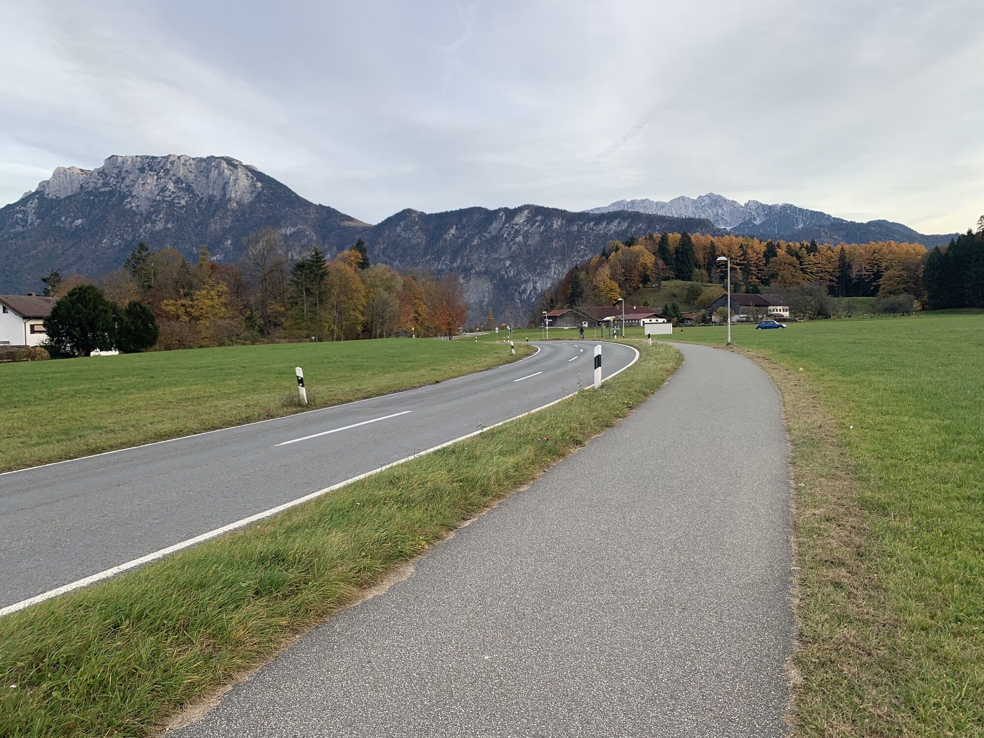
The following tour description is based on the division into 6 days. However, numerous accommodations along the route make other stage lengths possible.
Day 1: 13 km - 240 m uphill - approx. 4:15 hrs.
The...
The following tour description is based on the division into 6 days. However, numerous accommodations along the route make other stage lengths possible.
Day 1: 13 km - 240 m uphill - approx. 4:15 hrs.
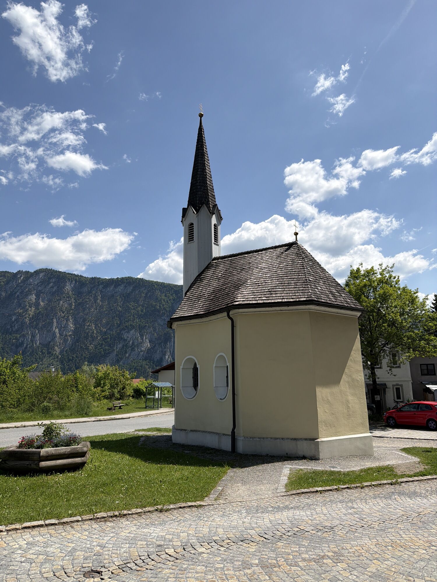
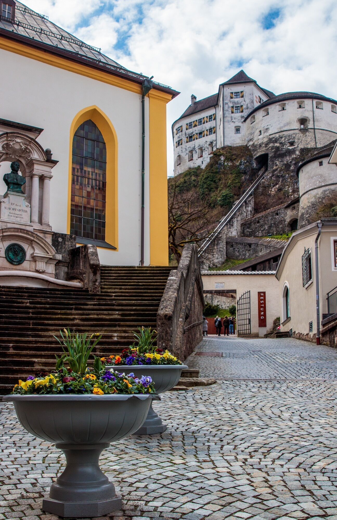
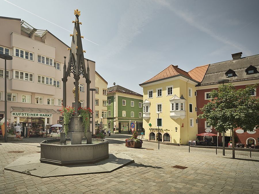
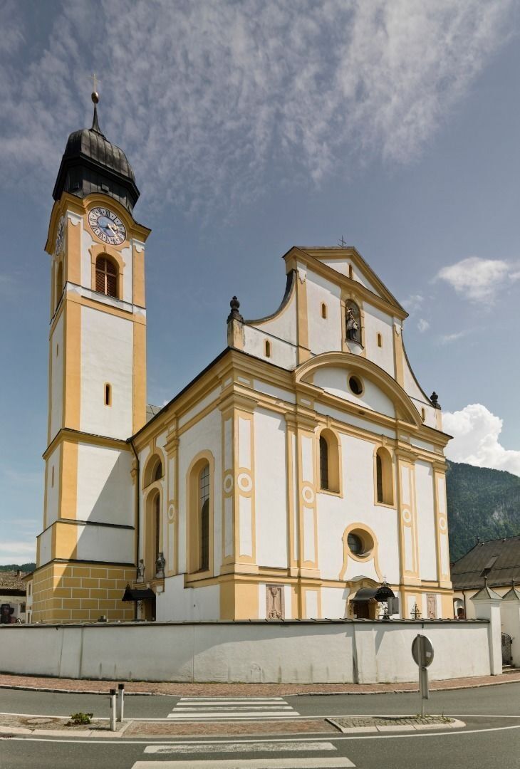
The pilgrimage starts, as with all other EUREGIO Marien trails, at the Marienbrunnen in Kufstein (accommodations here). It is located at the lower town square. From there you walk along the edge of the forest in a northerly direction to Ebbs, mainly on flat gravel paths. The parish church Mariä Hilf, also known as "Dom zu Ebbs" is worth a detour into its interior. Walking further through the village center, you reach a pretty avenue along the Ebbser Bach stream to the mouth of the Jennbach stream in the Inn. From there, you cross a small wooded area and steer towards Niederndorf (accommodations here) village center.
Day 2: 14,6 km - 300 m uphill - approx. 4:30 hrs
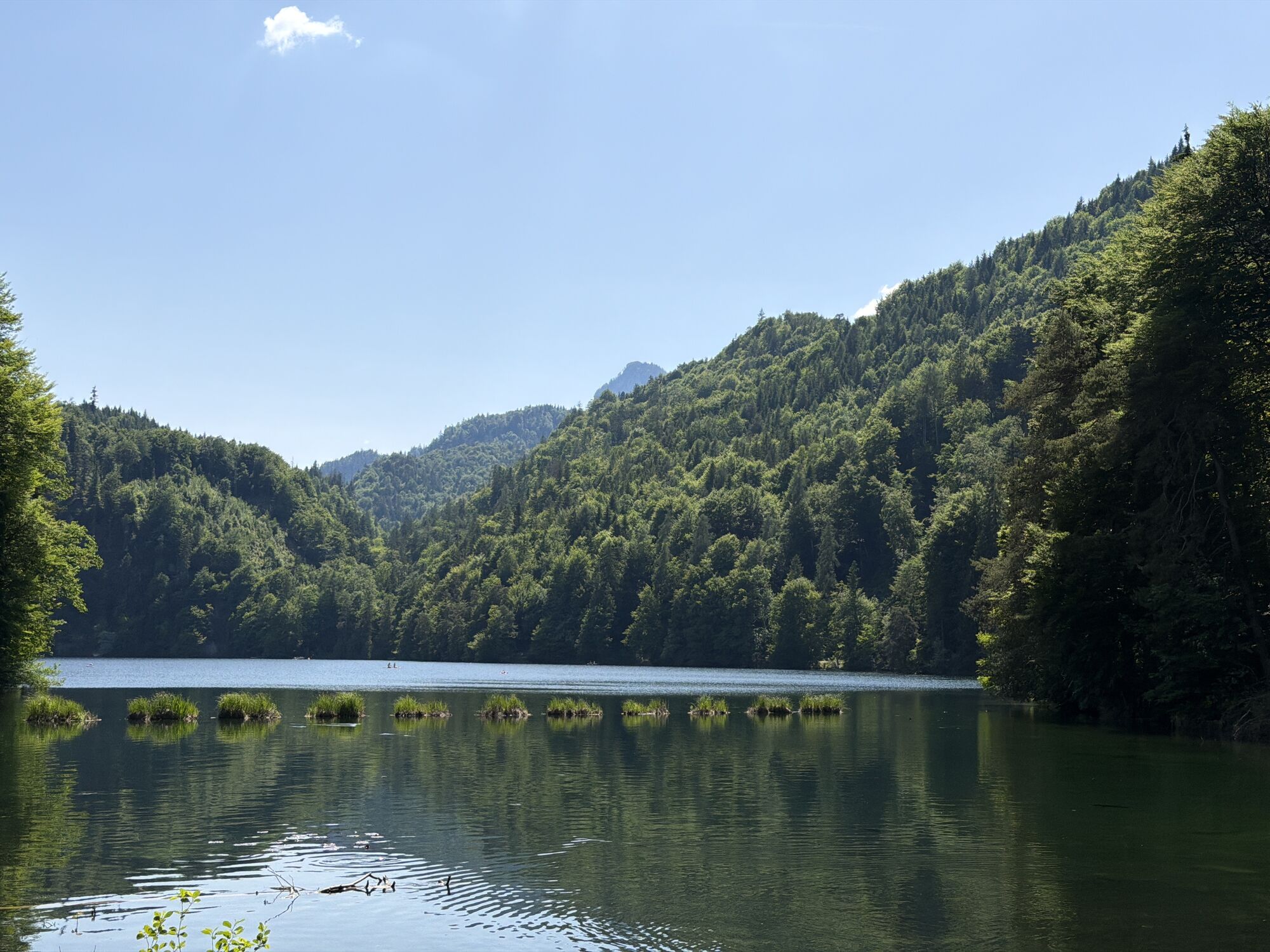
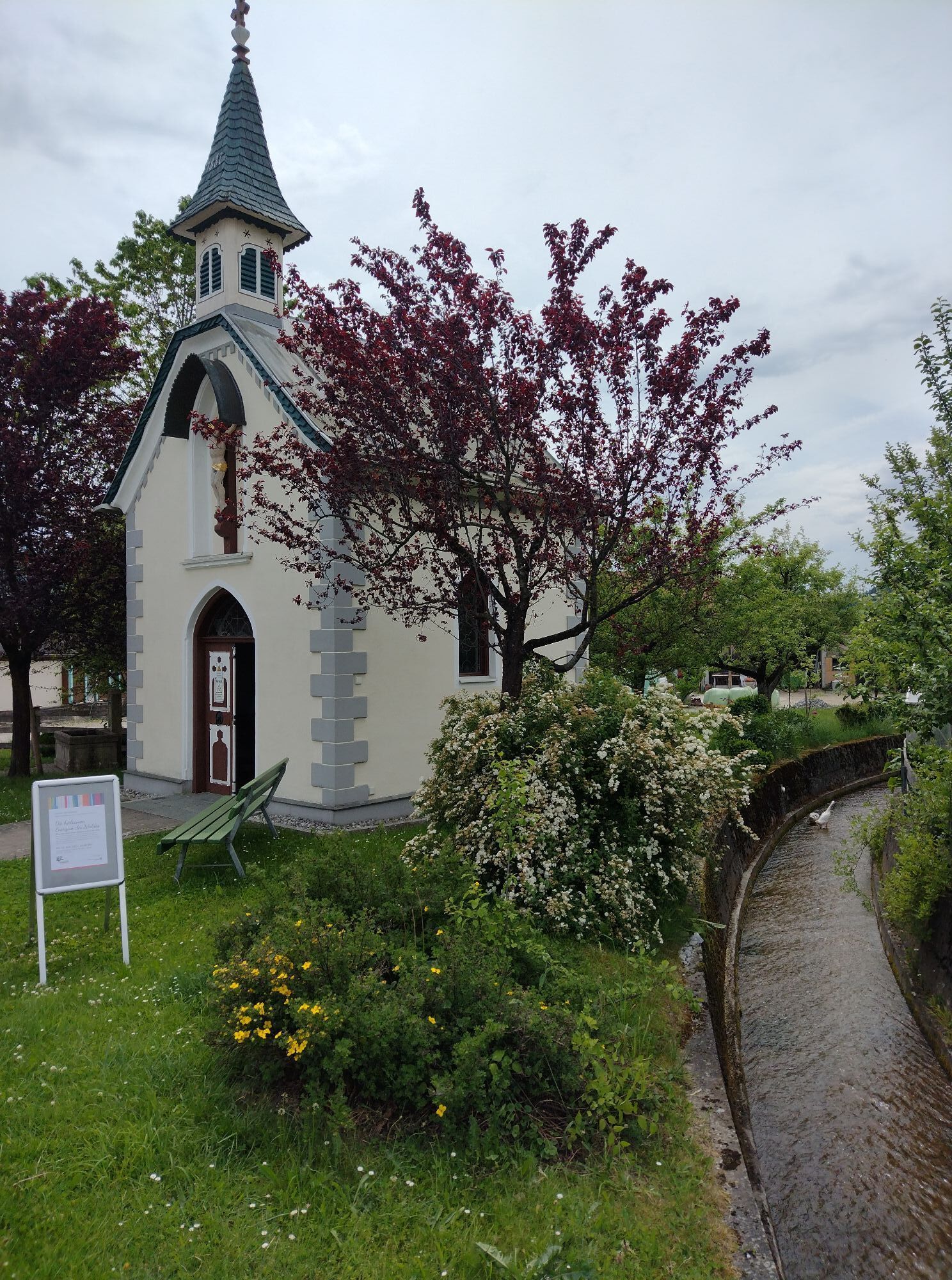
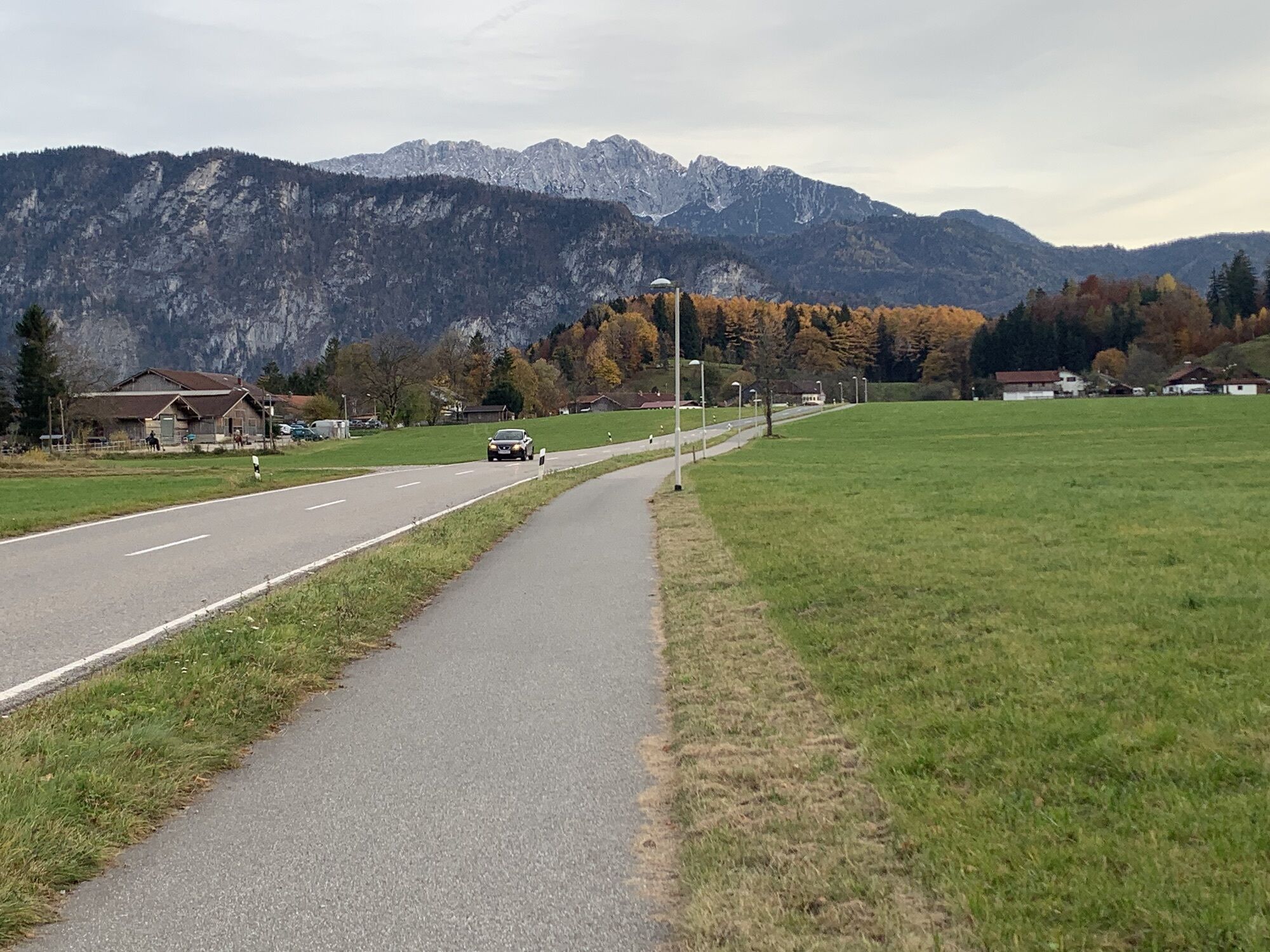
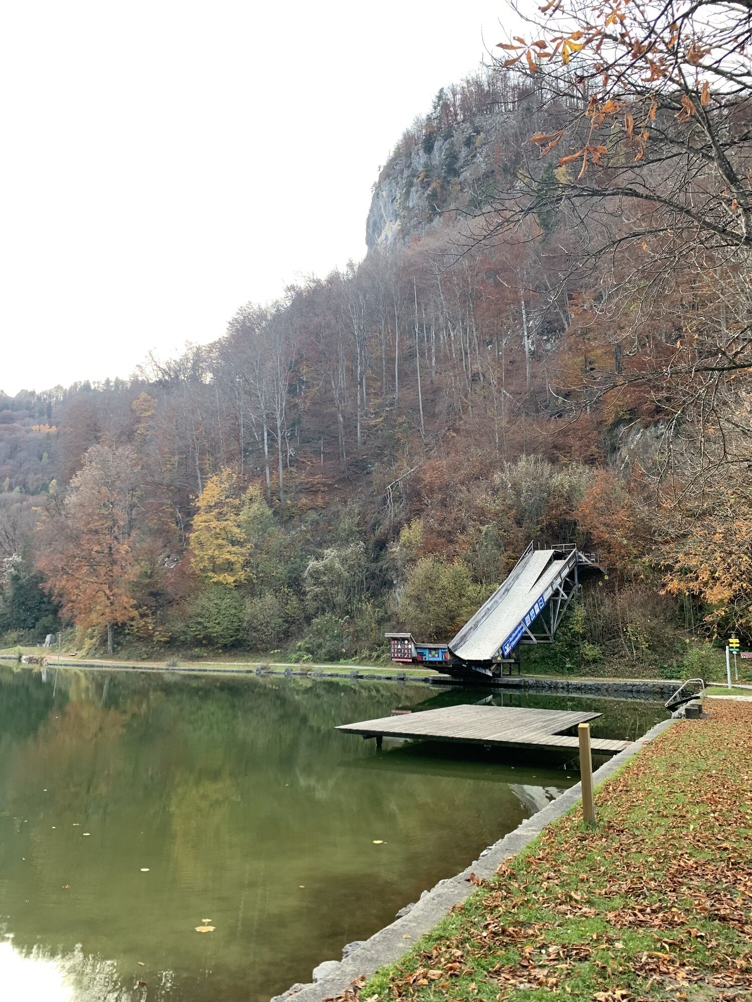
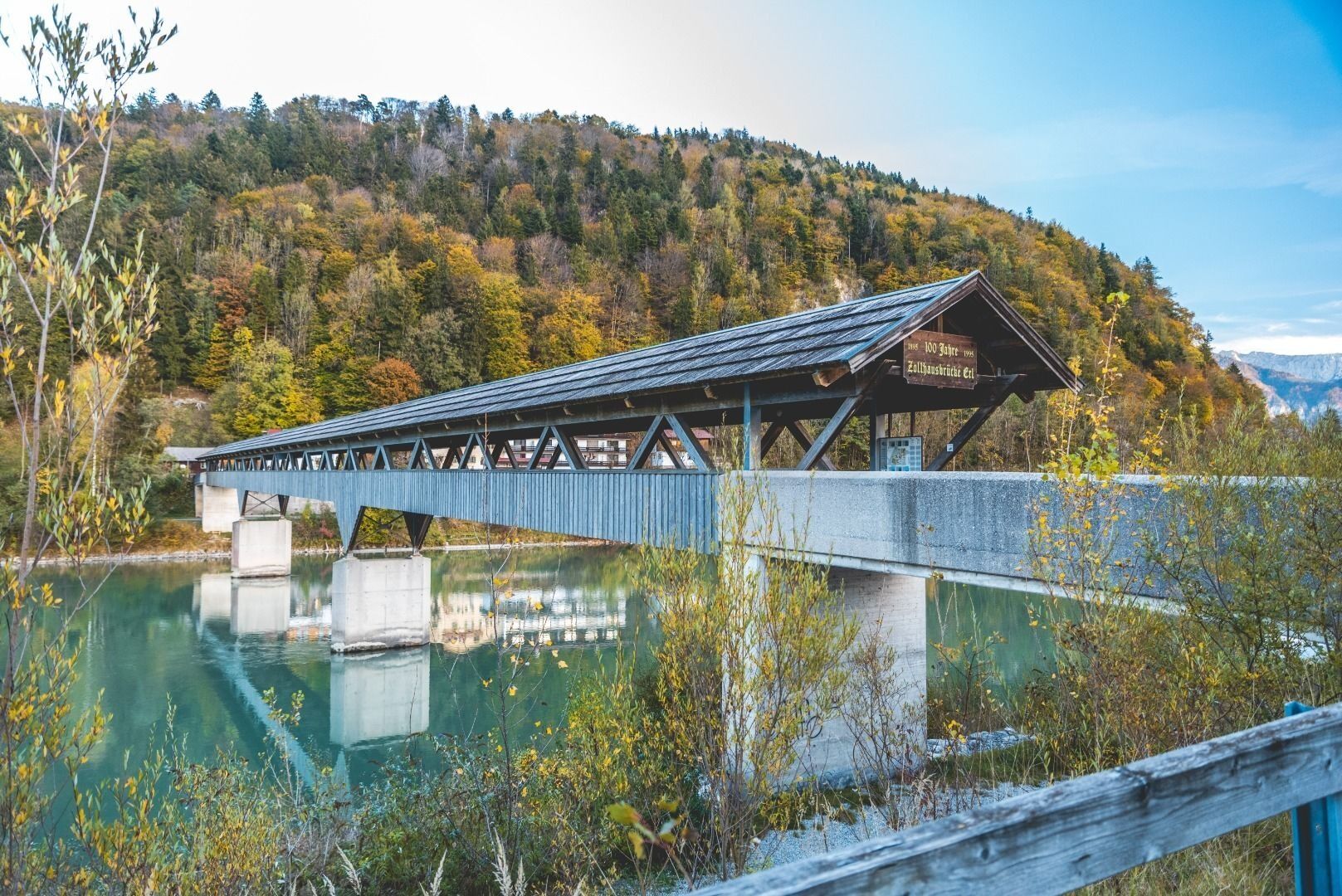
The path continues along a forest road to the Wallfartskapelle Maria Heimsuchung on the Hechenberg is signposted, selbige a real gem, and again worth a break. After the first few meters of altitude with bravura behind you, you descend directly again in the direction of Erl. Already before Erl one crosses on the old customs house bridge the Inn, as well as the national border to Bavaria. Having reached the northernmost point of the pilgrimage, you take the path south to the center of Oberaudorf. At the Marienplatz there is the Marienbrunnen to see. From Oberaudorf you hike on via the Luegsteinsee to Kiefersfelden (accommodations here), today's stage destination.
Day 3: 11,1 km - 570 m uphill - approx. 4 hrs
Along the Kieferbach to the Zollhaus you start the way of today's stage. As the name suggests, here you are again at the German-Austrian border. You cross the border there and reach the path to Vorderthiersee via a short steep section. Through the Passion play village you hike in the direction of Gasthof Schneeberg. After these approx. 11 kilometers it is advisable to make the 3rd stop, as the next overnight stop is only after approx. 24 kilometers at the Gasthof Wastler in Riedenberg.
Day 4: 15,3 km - 560 m uphill - approx. 5:30 hrs
From Gasthof Schneeberg you hike the next day in a steady up and down mostly on forest paths. You will pass idyllic clearings and farms such as Breitenau, Modal and Kranhof and finally reach Riedenberg with an out and back detour. There, after about 13 kilometers, the Gasthaus Wastler awaits you. If you want to skip this one, the next overnight opportunity is after about 15 kilometers (without detour to Riedenberg) at the Buchacker Alm.
Day 5: 14,7 km - 220 m uphill - approx. 5:45 hrs
On the 5th day you start from the Buchacker Alm downhill and thus lose all the altitude meters you have collected so far in one stretch. Via the serpentine forest road you reach the place of pilgrimage Mariastein with its imposing pilgrimage church. From there it is now a few more meters of altitude uphill to overcome the natural barrier to the Inn Valley down. In the center of Kirchbichl you will find the parish church "Unsere Liebe Frau" with, among other things, a ceiling fresco of the birth of Mary. You leave this behind after a 2nd crossing of the Inn up to Bad Häring (accommodations here), today's stage destination.
Day 6: 12,4 km - 220 m uphill - approx. 4:45 hrs
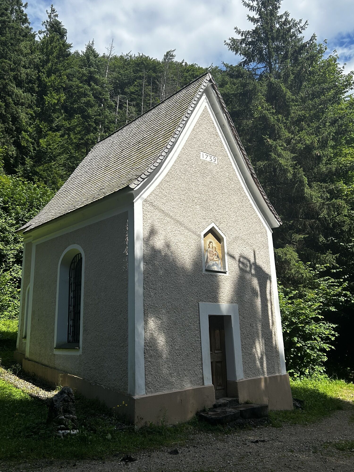
The last day of the pilgrimage leads across the sunny plateau of Bad Häring/ Schwoich, past idyllic farms, via the Locherer Chapel to Kufstein. There you choose the path via the monastery Maria Hilf in Zell back to the center of Kufstein.
No luggage transfer is offered in Kufsteinerland for this long-distance hiking trail.

Sufficient food for all days (check availability at the huts)
First aid kit
Cell phone with full battery and cell phone charger
Hiking map and guide literature
Sun protection (sunglasses, sunscreen and cap)
Overnight essentials, hut sleeping bag, etc.
Rain protection
Cash
From the Inntal freeway A12 take the exit Kufstein Nord.
Kufstein main station is only a few minutes walk from the starting point.
Kufstein center
Webcams del recorrido
-
Hocheck
-
Thiersee - Mitterland - Schneeberglifte
-
Thiersee - Mitterland - Schneeberglifte
-
Talstation Hocheck
-
Idealhang
-
Thiersee - Mitterland - Schneeberglifte
-
Thiersee - Mitterland - Schneeberglifte
-
Hocheck
-
Kufstein - Brentenjoch
-
Thiersee - Mitterland - Schneeberglifte
-
Pendlinghaus - Kufstein
-
Pendlinghaus - Kufstein
-
Thiersee - Mitterland - Schneeberglifte
-
Thiersee - Ticklhof
-
Tirolina
-
Festung Kufstein
Infórmate
Siempre en directo con más de 9.500 webcams. bergfex Como usuario Pro, ahora puede ver las webcams correspondientes a muchos tours en la app de tours desde. Esto le permite ver las condiciones actuales directamente.
Rutas populares en los alrededores
-
4,7
Rotwand über Schliersee, Deutschland
medioSenderismo 15,4 km -
4,7
Wildalpjoch und Käserwand
medioSenderismo 7 km -
4,6
Hintersteinersee
medioSenderismo 9,87 km -
4,6
Über Hintersteinersee und Walleralm aufs Hochegg
luzSenderismo 12,2 km -
4,5
Wanderung um den Hintersteinersee
luzSenderismo 5,29 km -
3,2
Kundler Klamm
luzSenderismo 6,33 km -
4,6
Miesing
medioSenderismo de montaña 17,9 km -
4,9
Kleiner und großer traithen von rosengasse
medioSenderismo 9,84 km -
4,1
Taubenstein mit 360° Bergblick am Gipfel
luzSenderismo 8,50 km -
5,0
Auerspitz & Soinsee (Rundwanderung)
medioSenderismo 14,1 km
Senderismo y rastreo


No se pierda las ofertas y la inspiración para sus próximas vacaciones
Su dirección de correo electrónico se ha añadido a la lista de correo.





