






MTB Tour Kathen Circuit
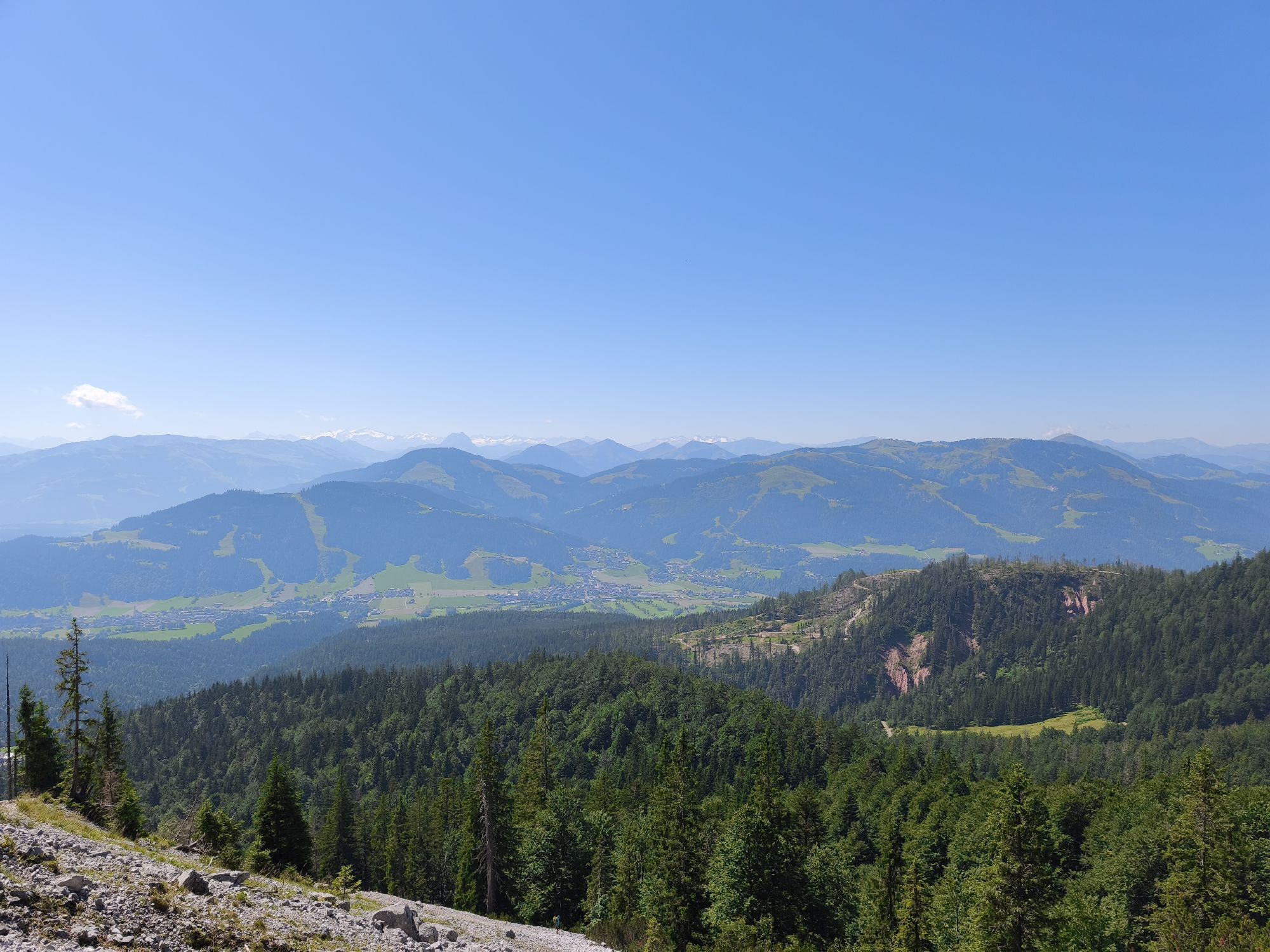
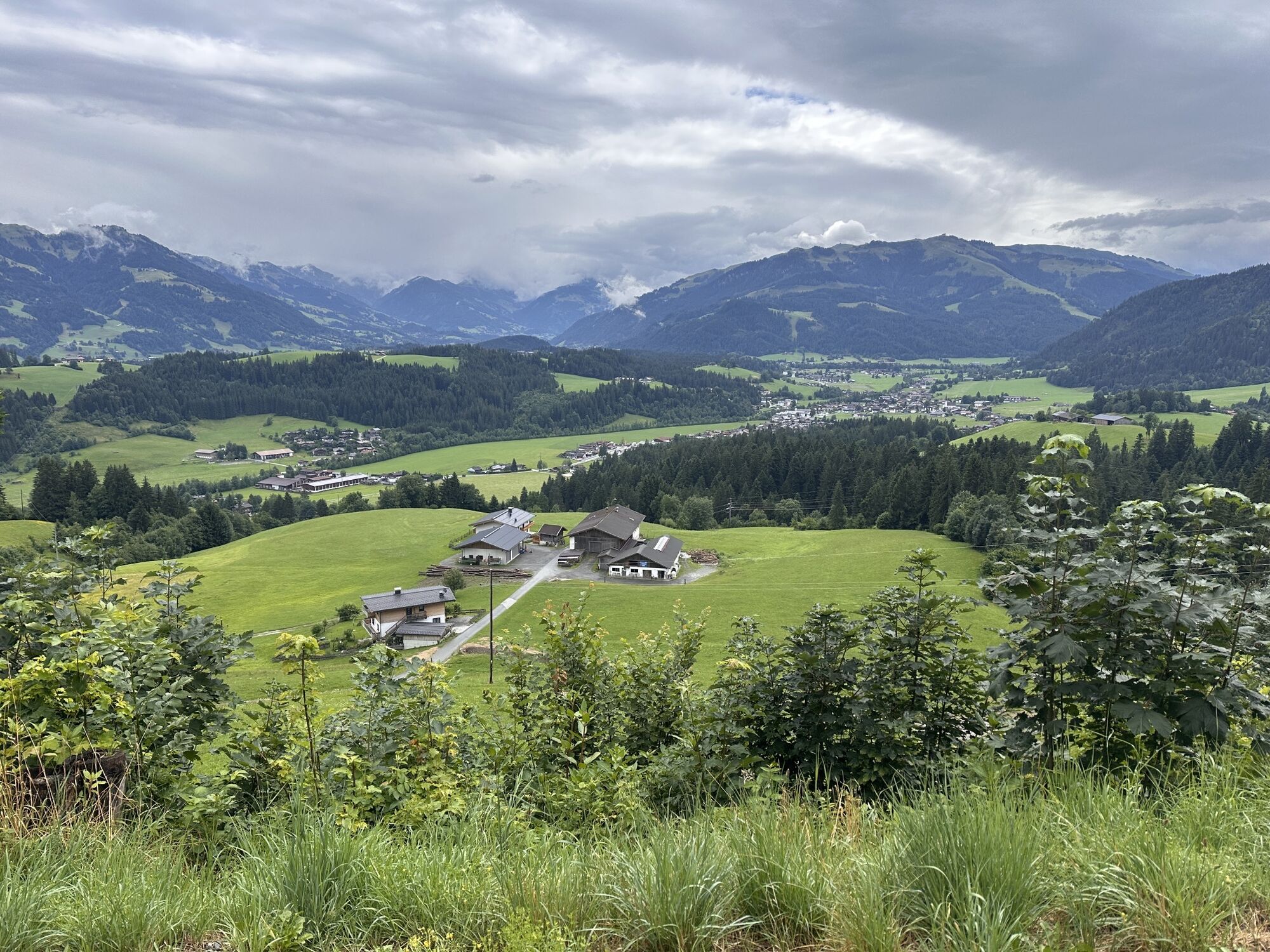
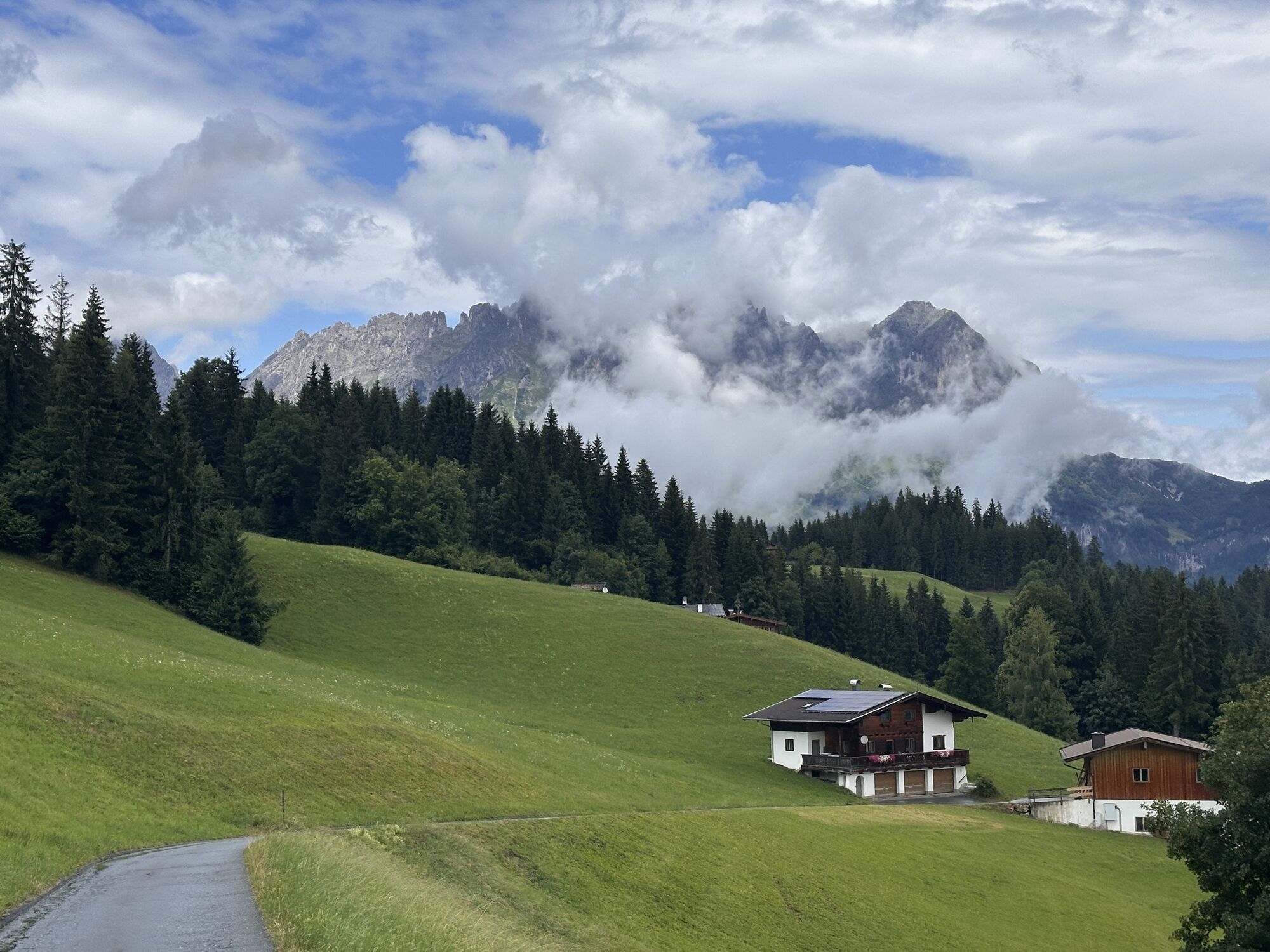
You start this mountain bike tour in the village centre of Going and cycle eastwards past the Raiffeisenbank and the bakery to the large car park at the fire station at the end of the village. Cross the...
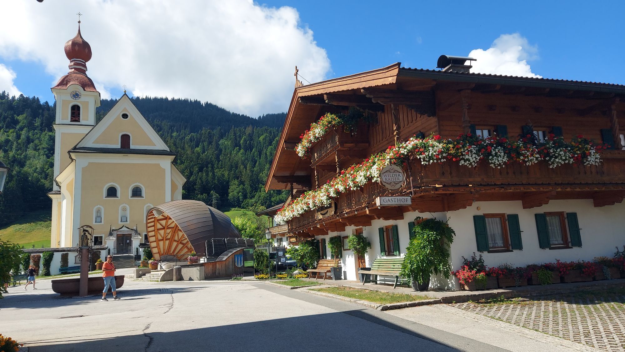
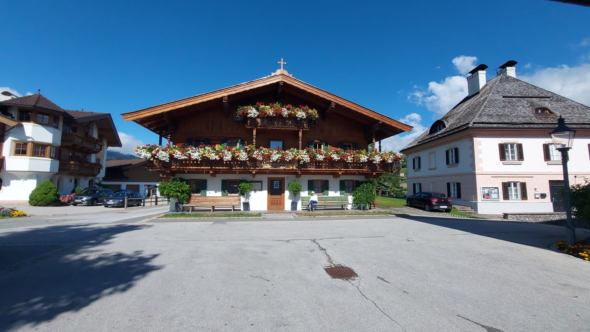
You start this mountain bike tour in the village centre of Going and cycle eastwards past the Raiffeisenbank and the bakery to the large car park at the fire station at the end of the village. Cross the car park and turn left into the Auweg. The gravel path leads through the forest and along the Goinger Bach stream past the Stanglwirt until you reach the L202 road. Cycle past the football pitch always in the direction of Reith. Before the bridge, turn right onto the road and always follow the signs to "Hollenauer Kreuz". From here the trail goes uphill, past the Unterastberg farmstead and the Plattenteich pond. At the Wand farm, you no longer follow the sign towards Hollenauer Kreuz, but turn sharp left towards Kathen. From Kathen, a short stretch of gravel road leads to Lierstättweg. Once there, follow the asphalt road to the centre of Ellmau. Here you keep to the right, past the information office and then turn right onto the Alte Straße, which leads you back to Going.
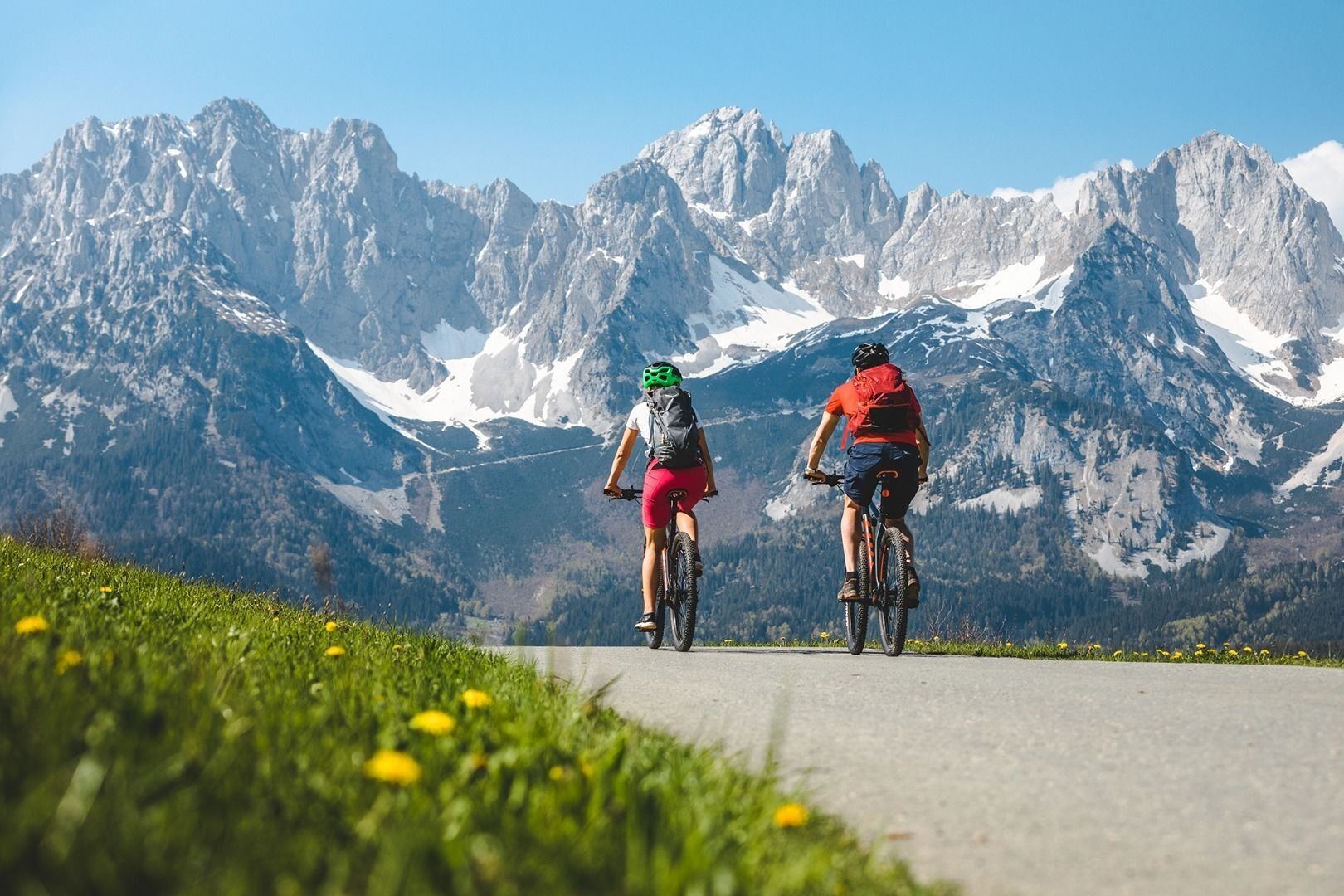
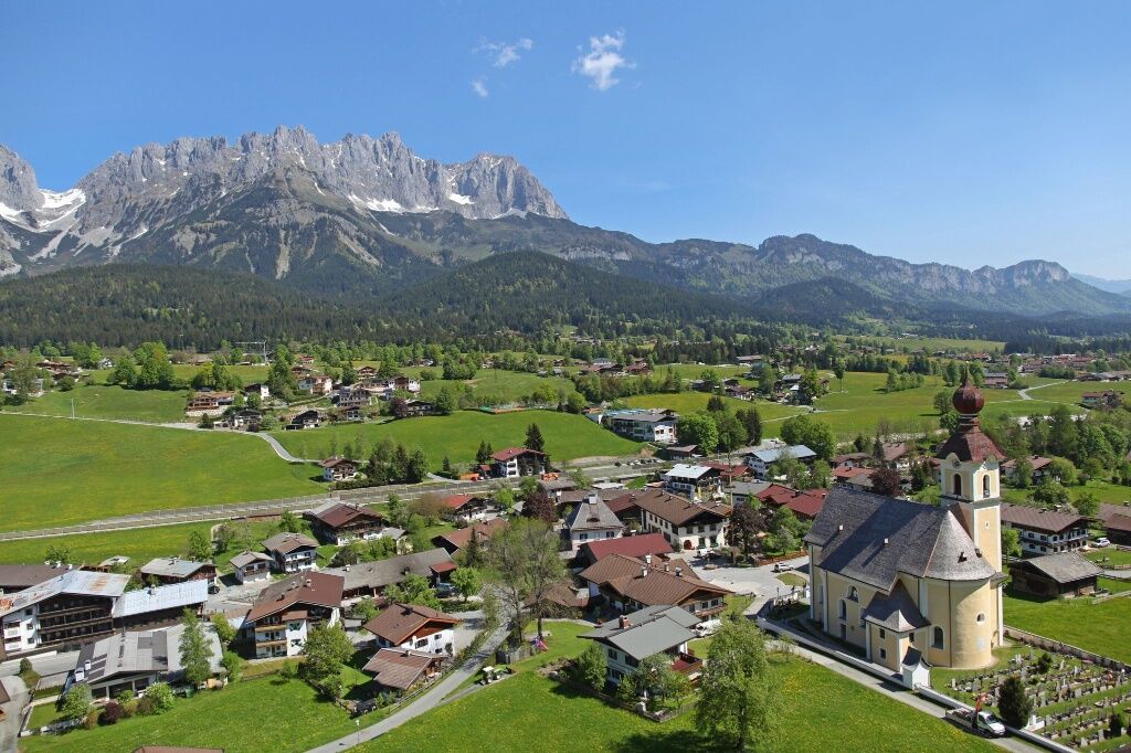

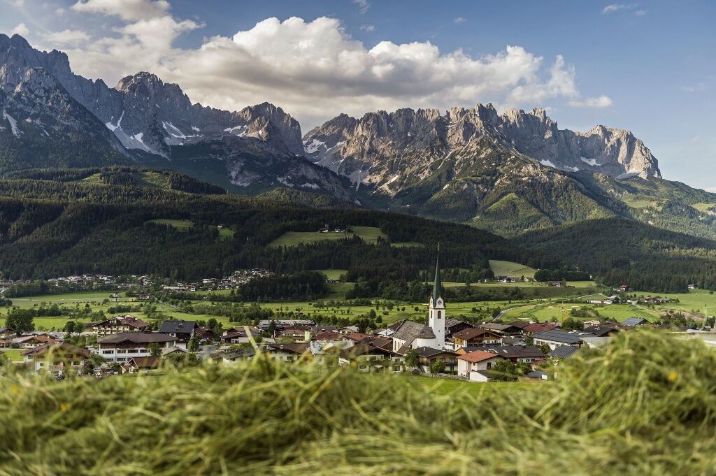

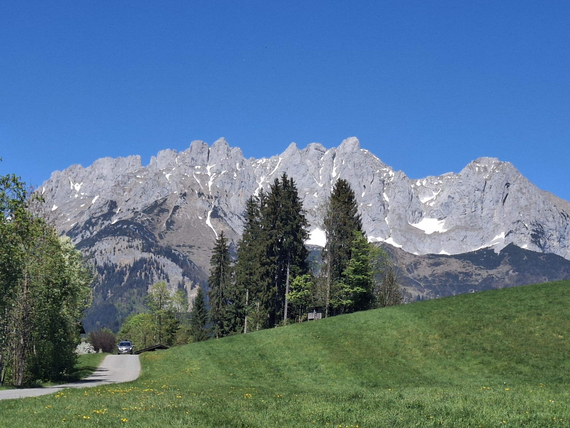
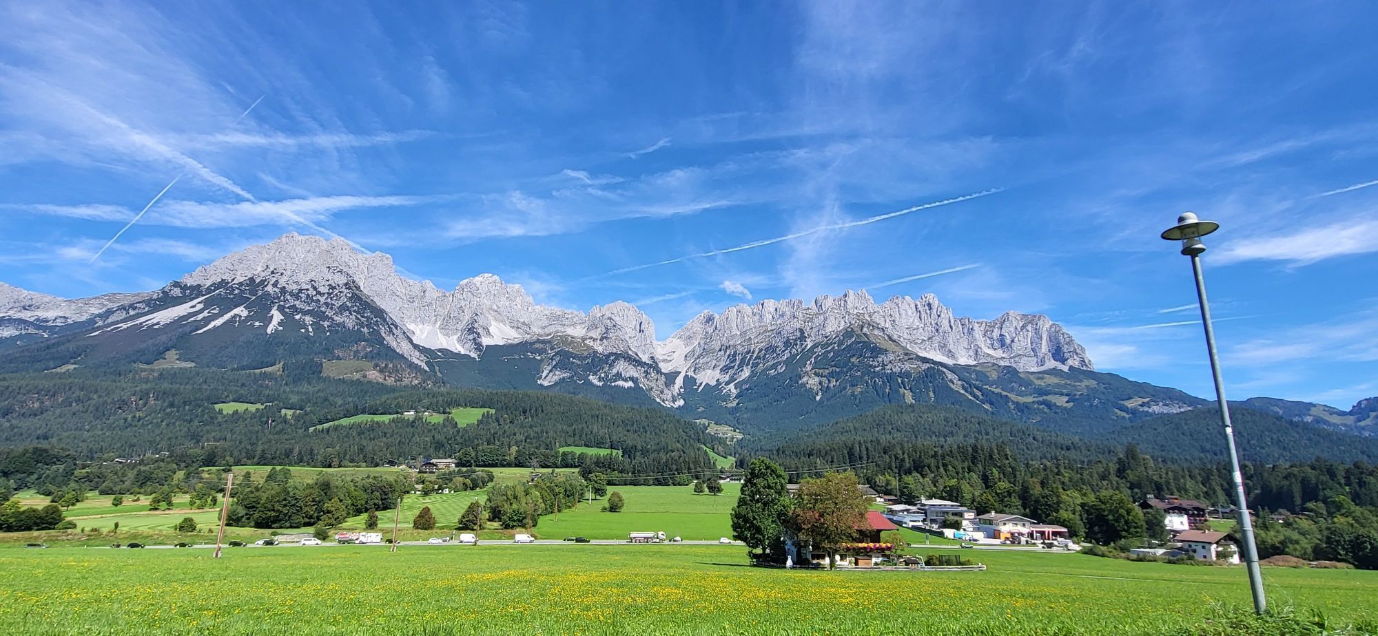
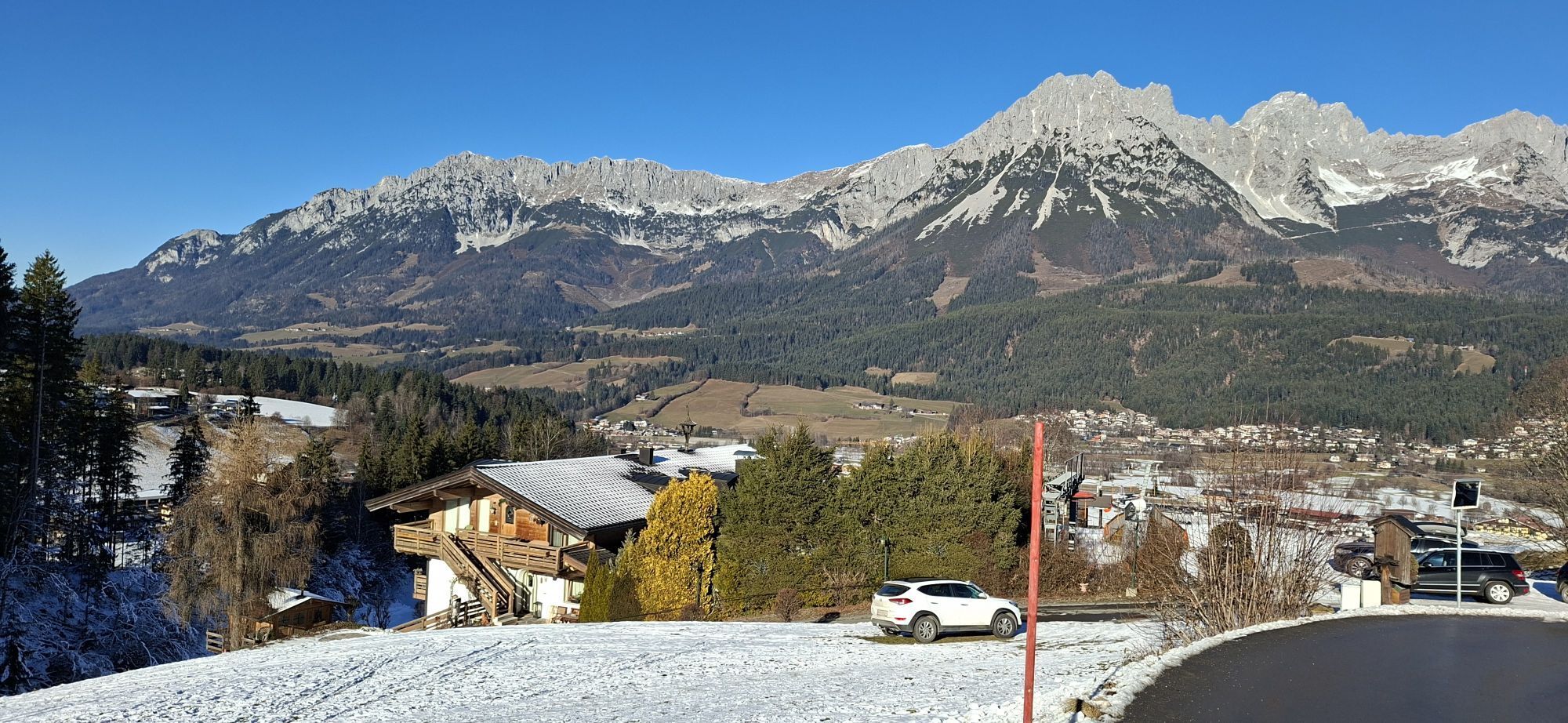
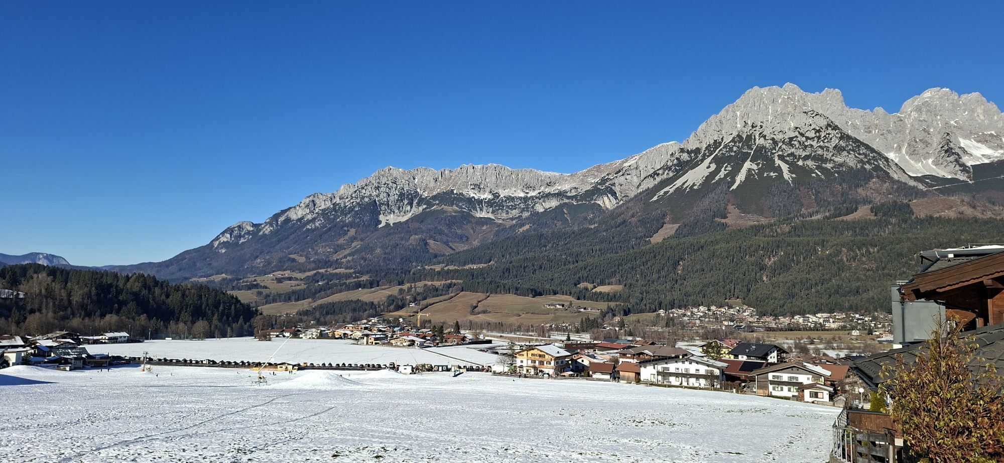
This mountain bike tour starts at Going Tourist Information Office and you cycle past the Raiffeisen Bank and the baker’s to the large car park by the fire station at the end of the village. You cross the square and turn right onto the Auweg. The gravel path leads through the forest and along the stream to the Stanglwirt hotel, where you turn right onto the minor road heading towards Reith and past the football pitch. Turn off right onto the road before the bridge and keep following the signs “Hollenauer Kreuz”. This is the start of a climb which takes about 50 minutes. You bike past the Unterastberg farmstead and the pond covered with water lilies, an irresistible place for a rest. At the Wand farm, stop following the signs to Hollenauer Kreuz. Instead, turn left and head towards Kathen. Once you’re at the top you have unique views of the Wilder Kaiser from the Kitzbüheler Horn, and a short gravel path leads to the Greiln farm. From there follow the asphalt road into the centre of Ellmau. Here you keep to the right, past the tourist office and then turn right into the Alte Strasse which brings you back to Going.
Wilder Kaiser Radkarte (1:45.000) erhältlich in den infobüros Ellmau, Going, Scheffau und Söll.
Cycle helmet, comfortable cycling clothes, a change of clothes, wind protection, cycling gloves, poss. rucksack with water bottle and food, first aid kit, poss. servicing/repair kit, bike map, route description and information materials (GPX track), ID, insurance card, cash
Heading from St. Johann on the B178 road, take the first exit to Going and drive through the town until you see the Tourist Info and the hiking starting point on the left-hand side after crossing the bridge.
Car park opposite the hiking starting point of the Tourist Info (located to the left of the road and before the bridge) or Public car park Schedererfeld – free
Webcams del recorrido
-
Scheffau
-
Bergstation Hartkaiserbahn
-
Jochstub'n-See
-
Hartkaiser II
-
Ellmau - Maria Heimsuchungskapelle
-
Going - Ort
-
Jochbahn Bergstation
-
Reith bei Kitzbühel - Hotel Zimmermann
-
Oberndorf - Penzinghang
-
Going - Astberg
-
St. Johann in Tirol
-
Penzinghang Oberndorf
-
Golfplatz Kitzbühel-Schwarzsee-Reith
-
Sankt Johann in Tirol
Infórmate
Siempre en directo con más de 9.500 webcams. bergfex Como usuario Pro, ahora puede ver las webcams correspondientes a muchos tours en la app de tours desde. Esto le permite ver las condiciones actuales directamente.
Rutas populares en los alrededores
-
4,7
Kirchdorf: Zur geheimnisvollen Teufelsgasse
medioSenderismo 7,90 km -
4,2
Erpfendorf: Griesbachklamm
medioSenderismo 10 km -
4,8
Gruttenhütte über Klammlweg
medioSenderismo 5,61 km -
4,9
Route 209: Brechhornhaus-Choralpe
pesadoMountainbike 24,4 km -
4,8
Ellmauer Tor (22.07.2020)
medioSenderismo 9,32 km -
4,8
Streif Wanderweg
medioSenderismo 5,73 km -
4,5
Kitzbüheler Horn über Horn-Gipfel-Höhenweg
medioSendero temático 5,30 km -
4,9
Schleierwasserfall Runde
medioSenderismo 5,63 km -
5,0
Stripsenjoch Klettersteige/ Rundwanderung von Griesener Alm über Stripsenjochhaus und Feldberg
medioVía ferrata 10,2 km -
4,7
Musikantensteig zur Naunspitze
medioSenderismo 8,96 km
Senderismo y rastreo


No se pierda las ofertas y la inspiración para sus próximas vacaciones
Su dirección de correo electrónico se ha añadido a la lista de correo.





