






MTB Tour Brandstadl Circuit
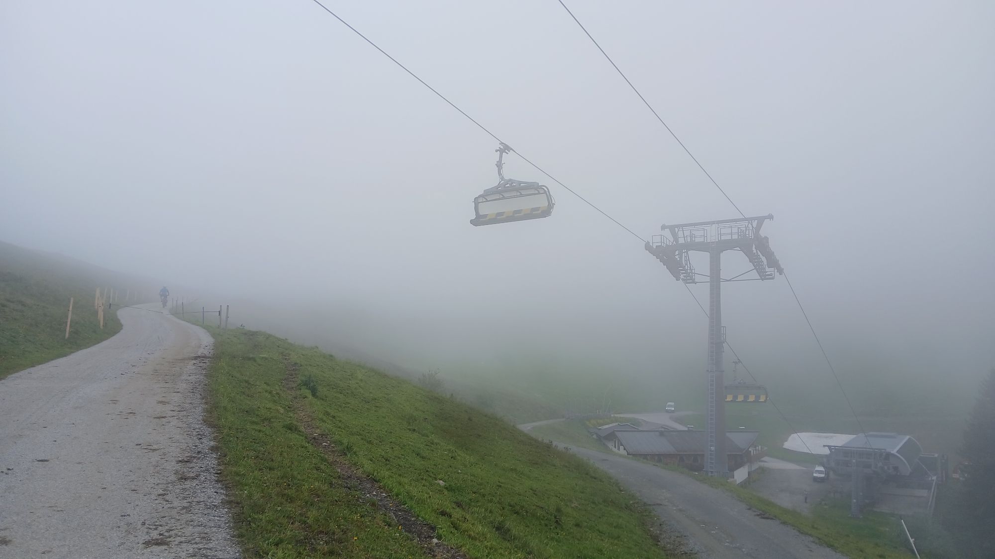
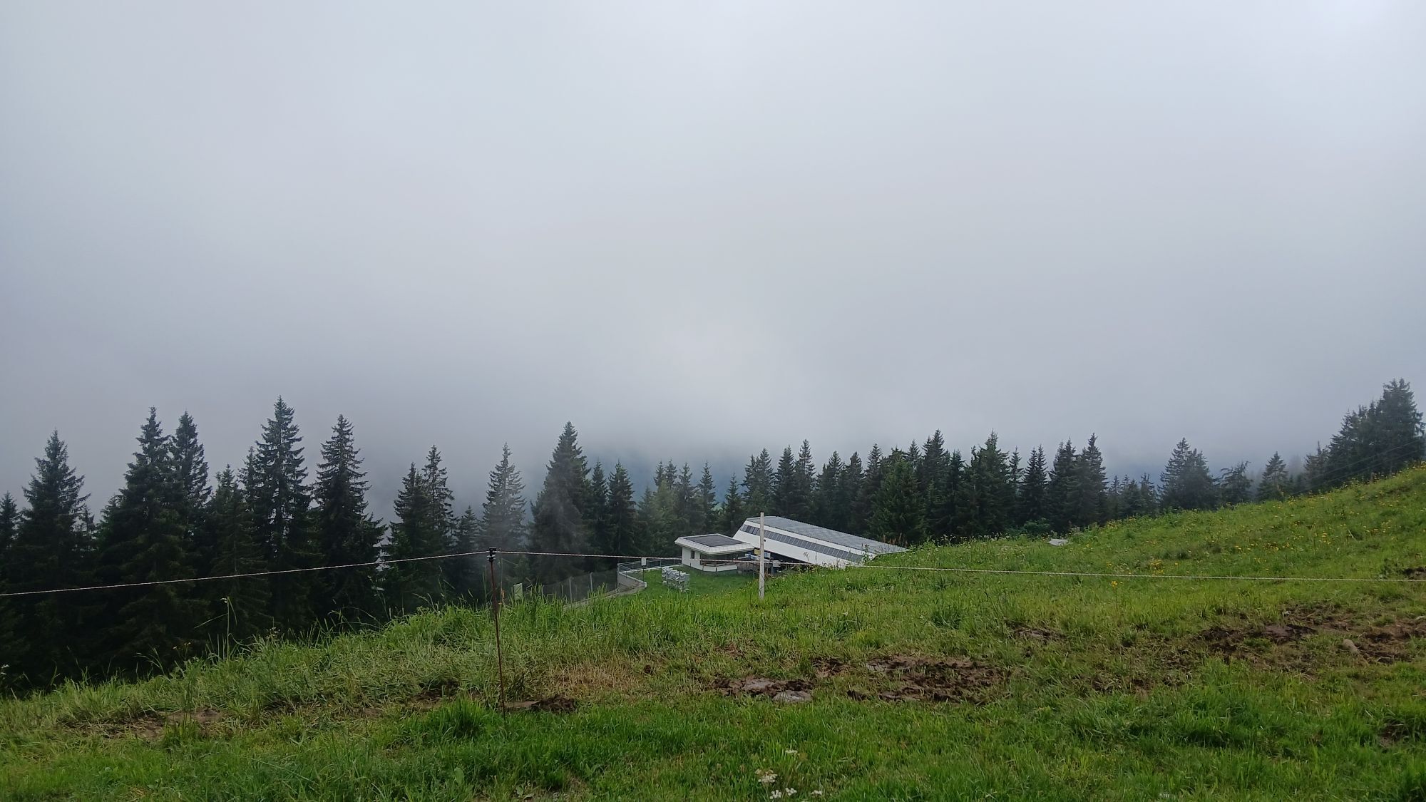
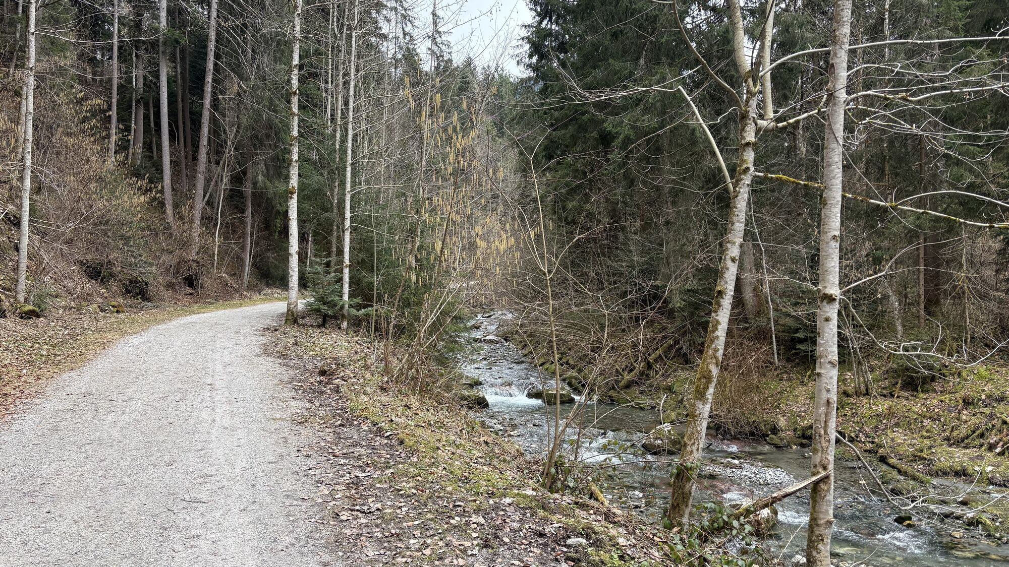
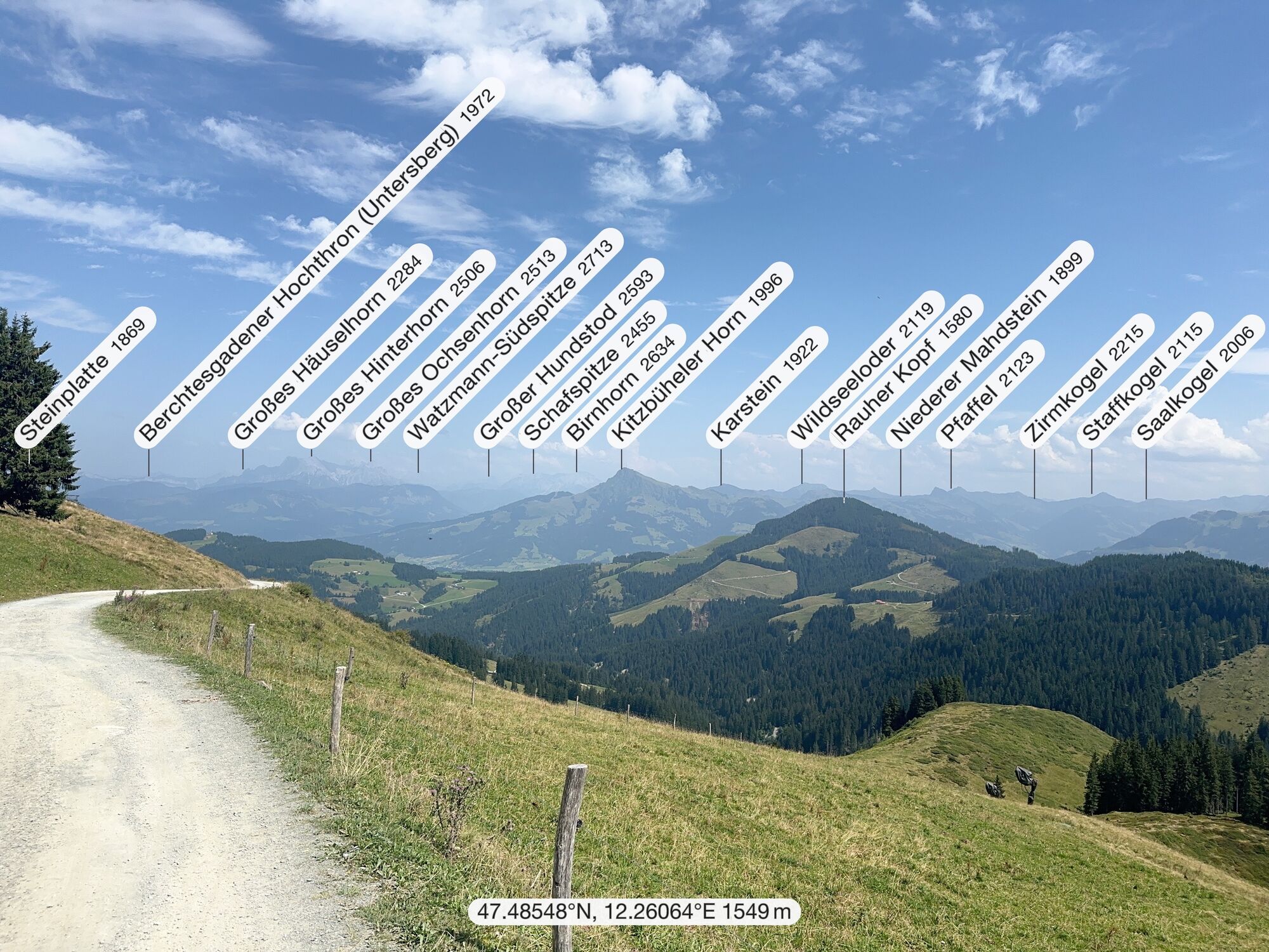
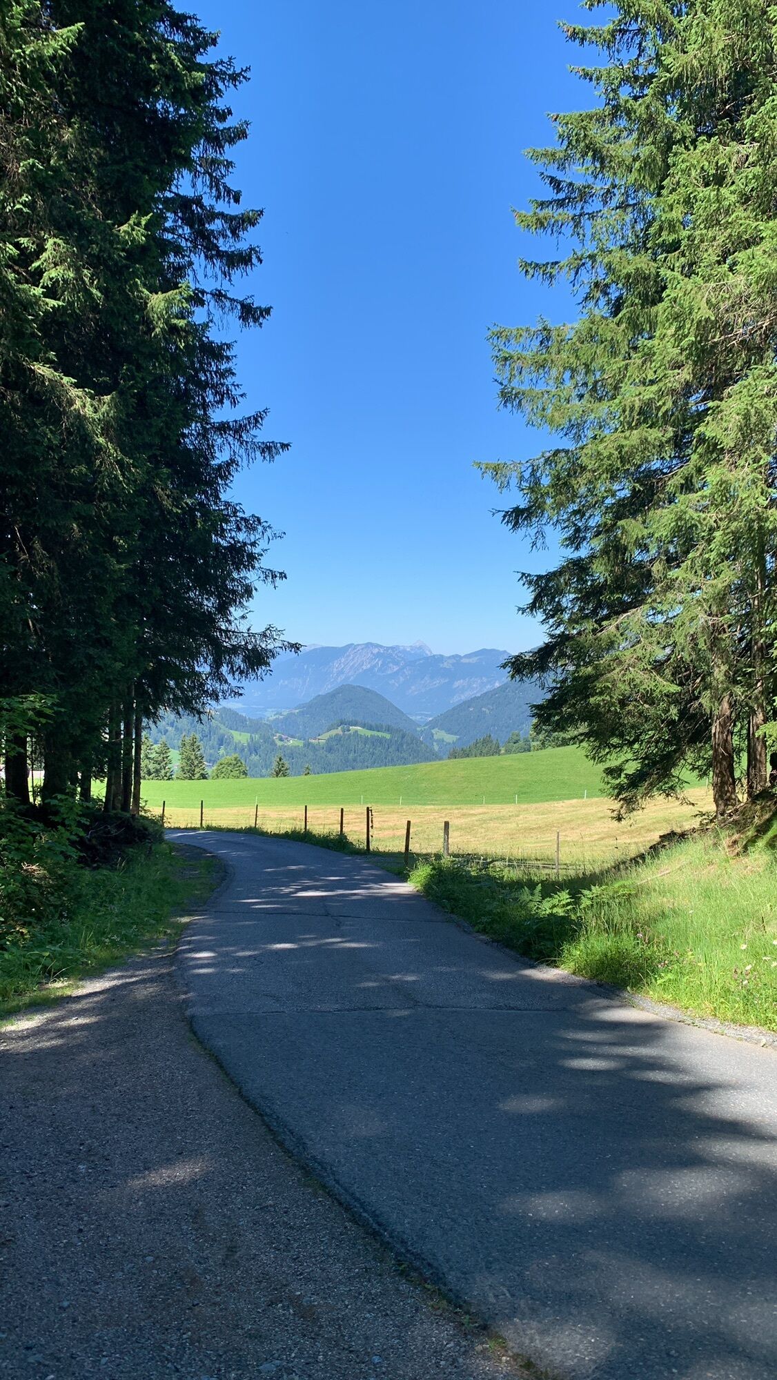
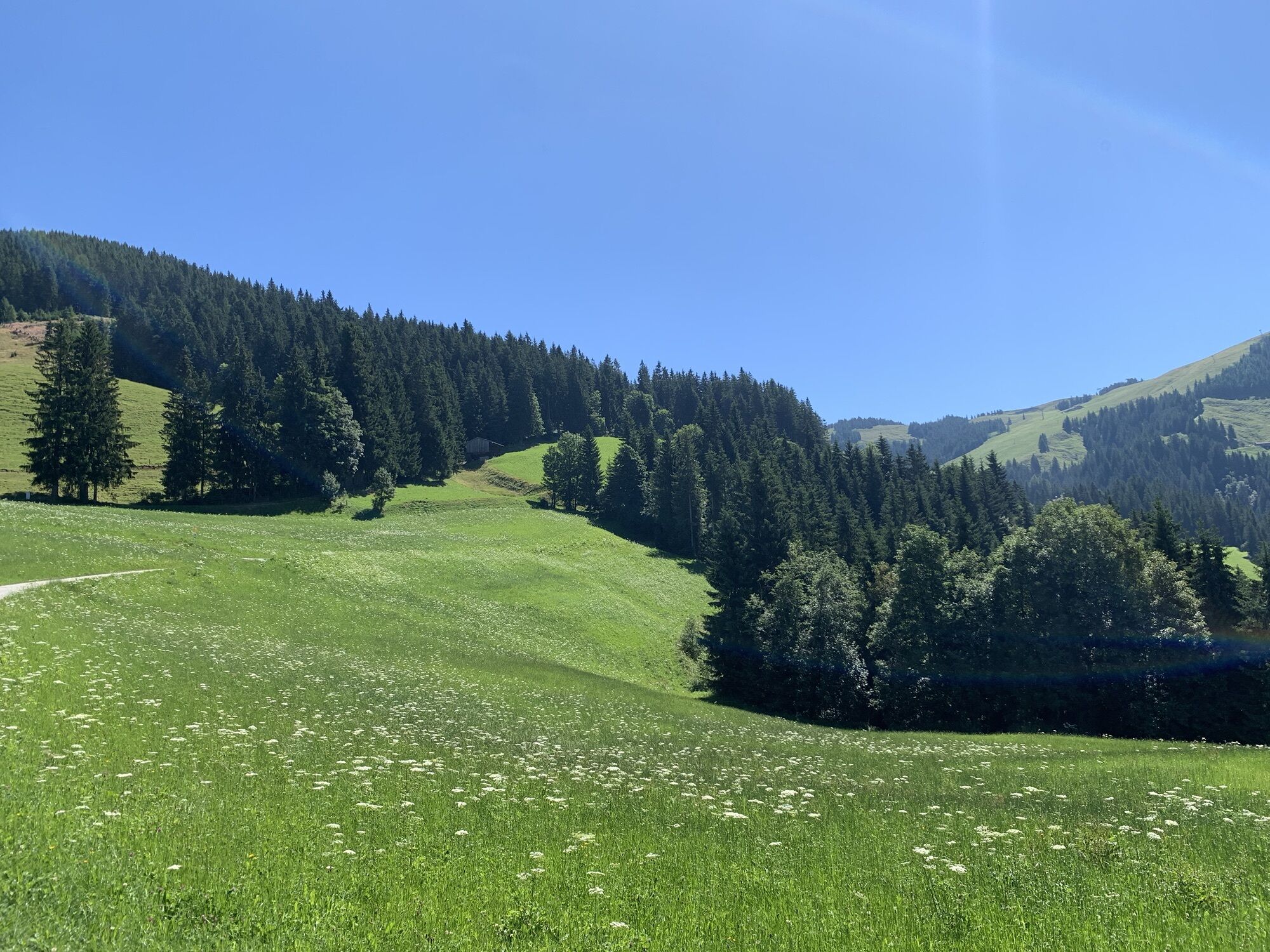
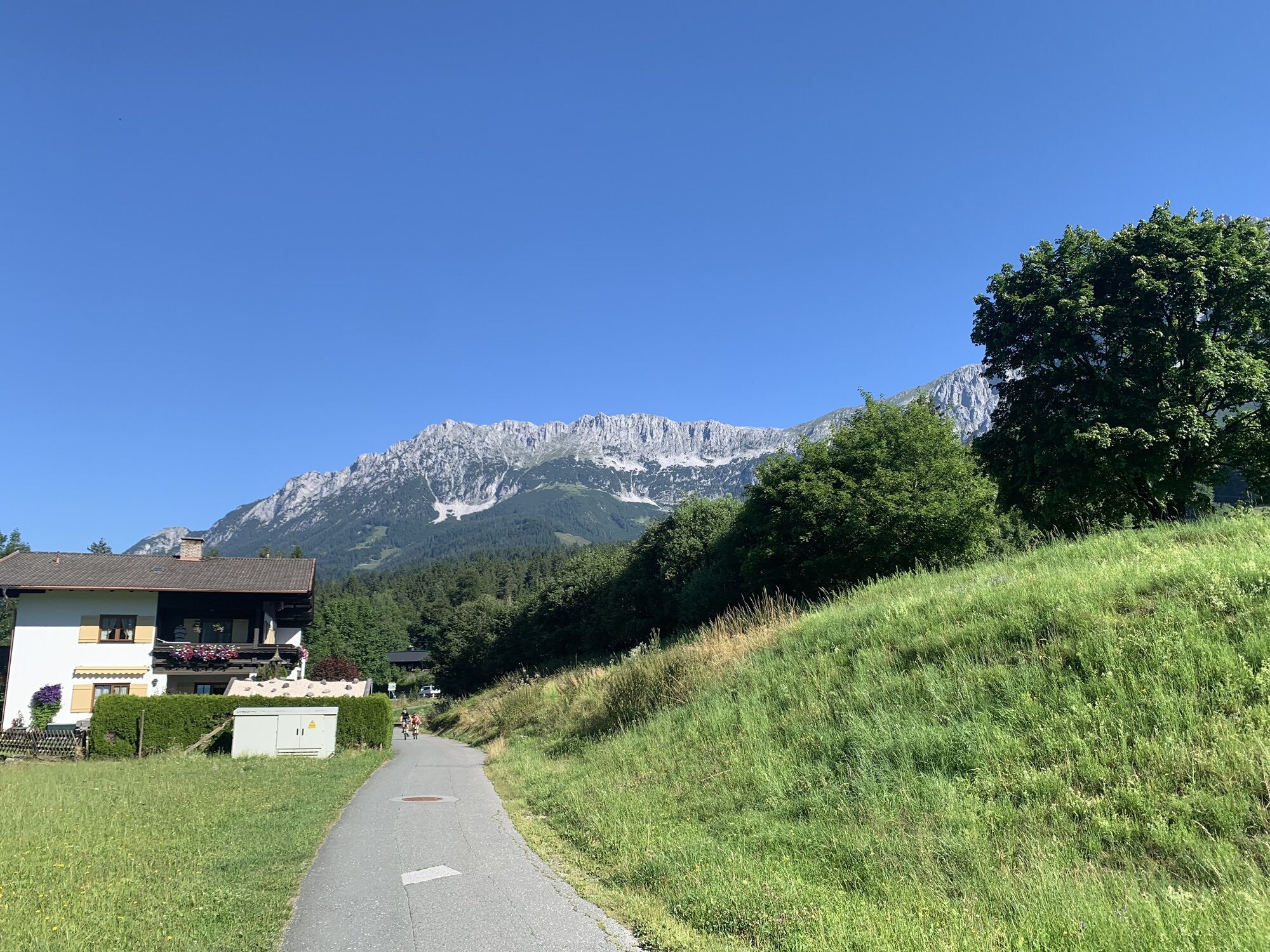
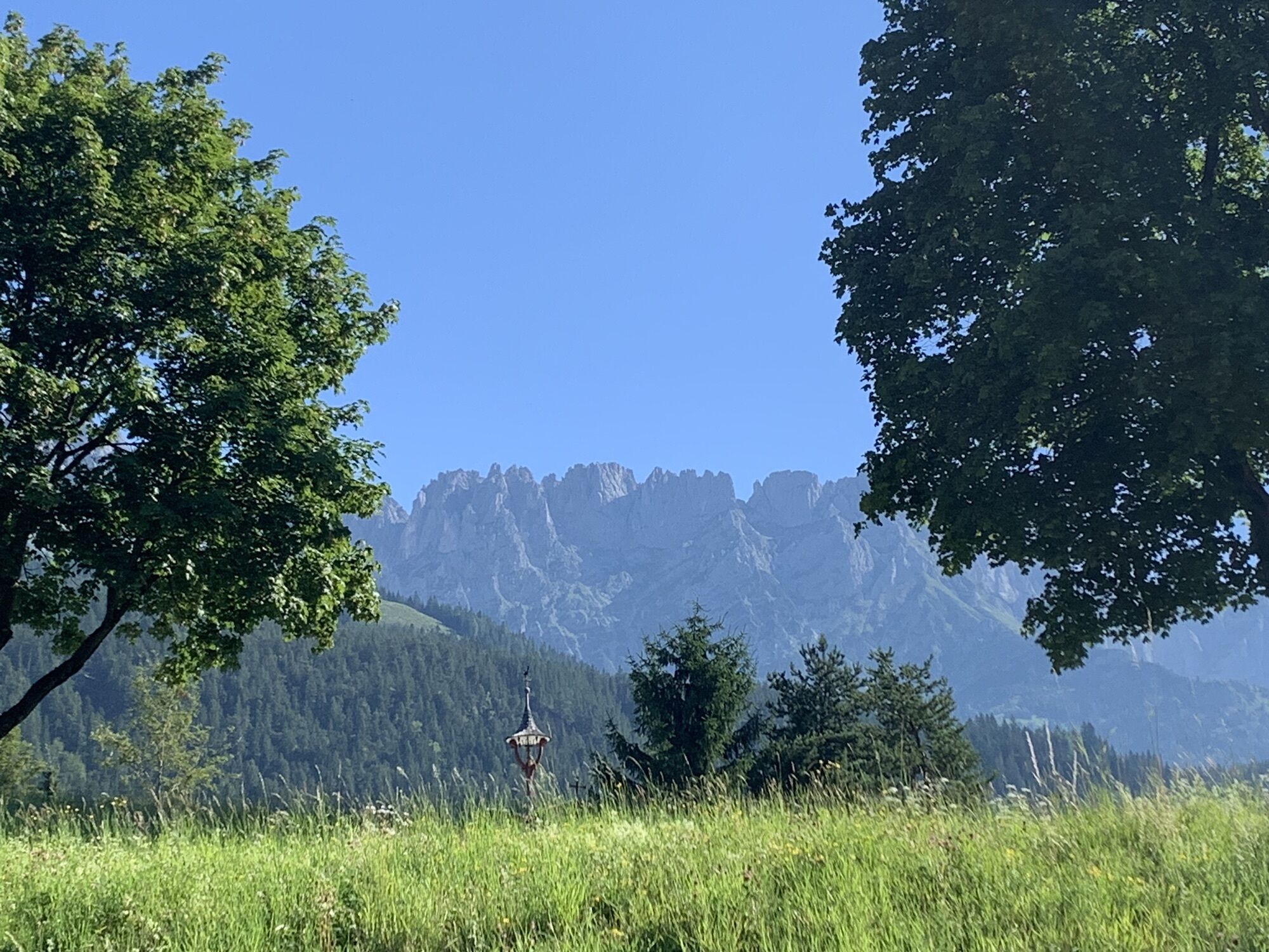
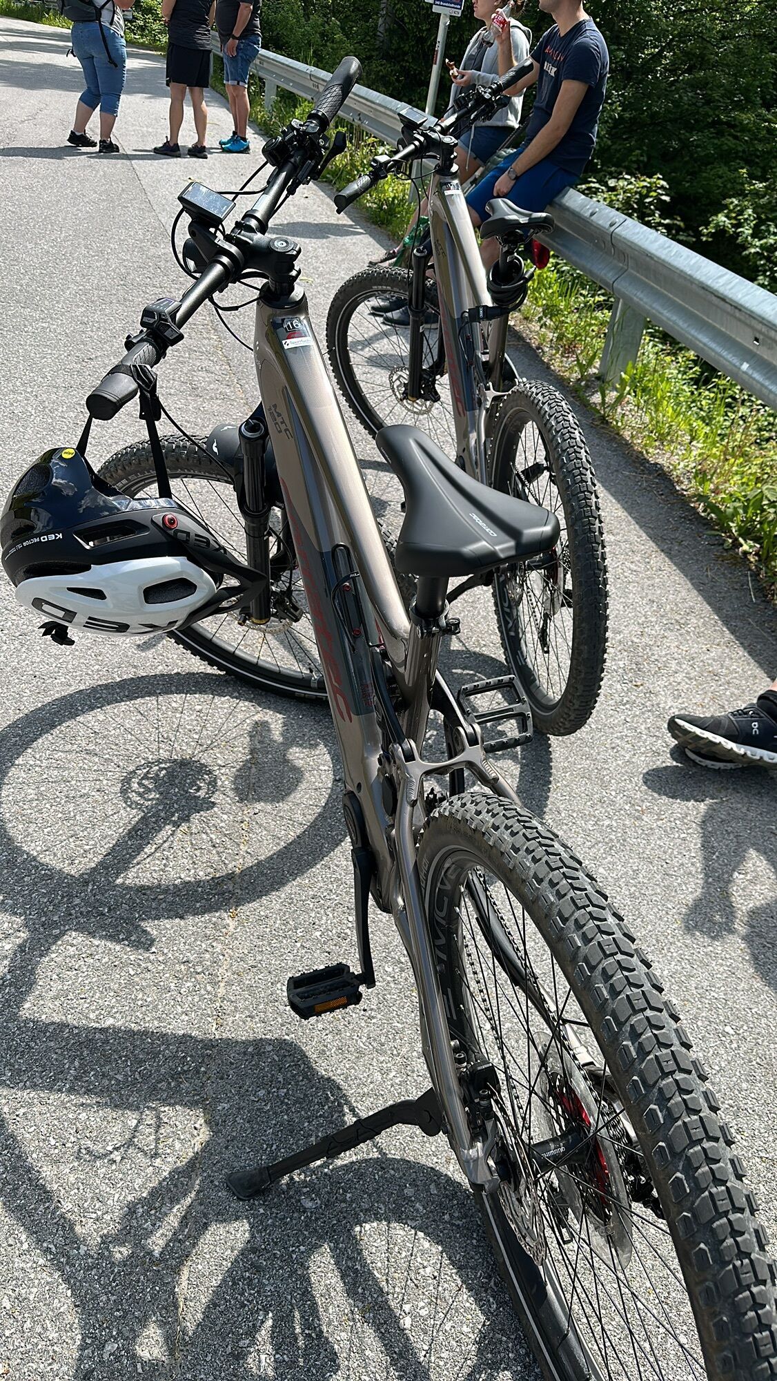
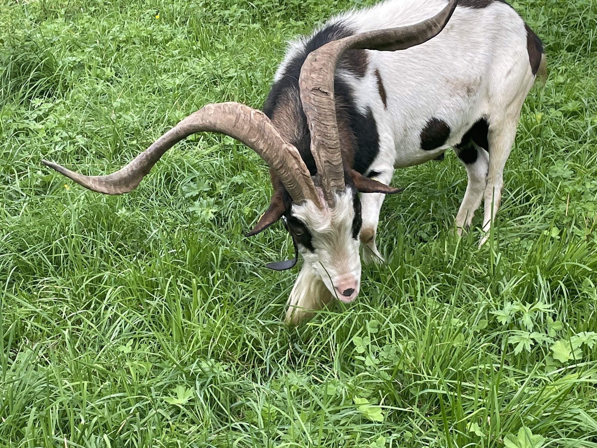
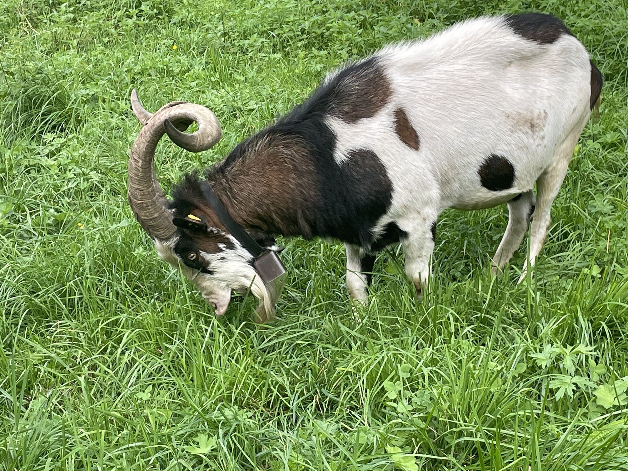
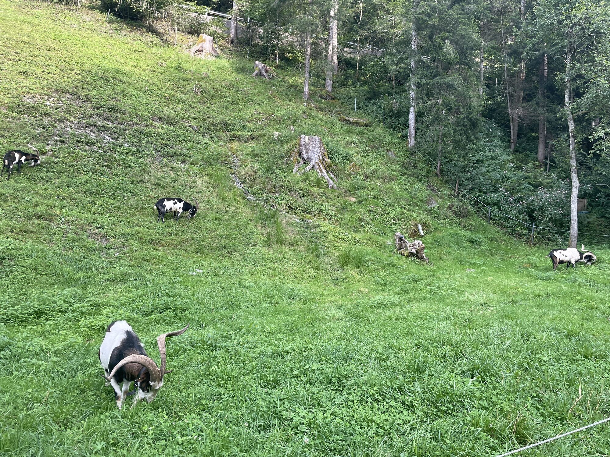
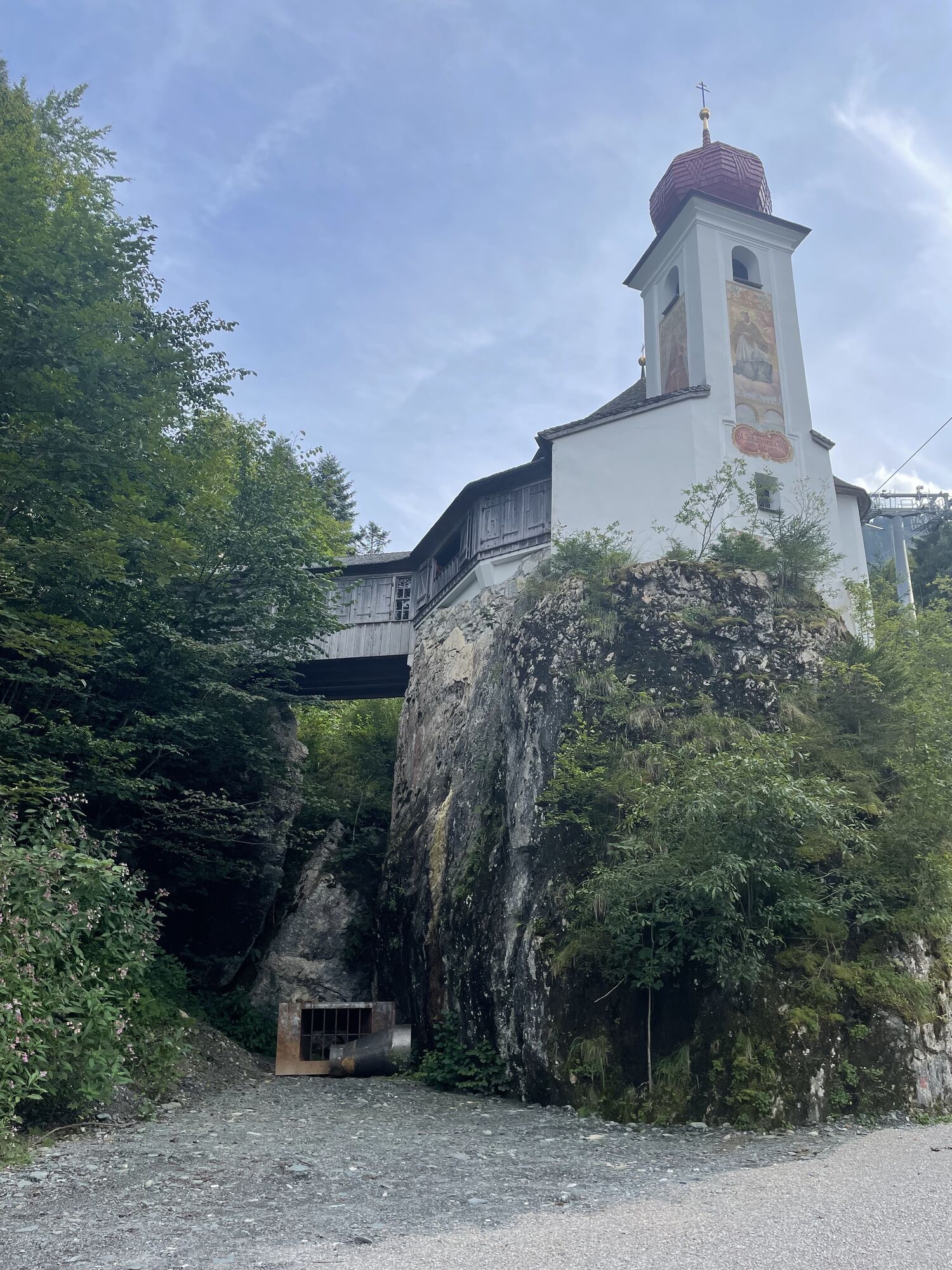
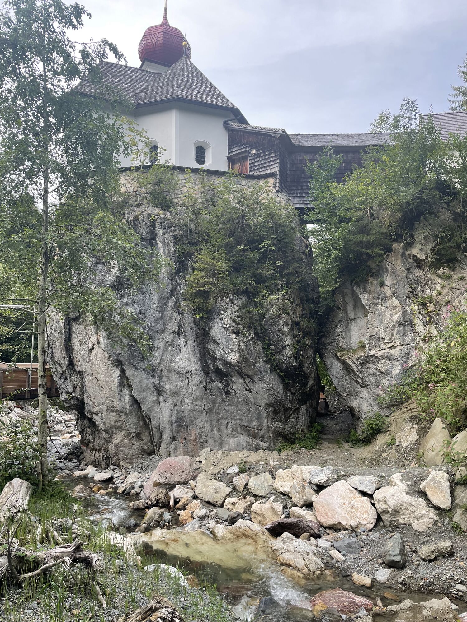
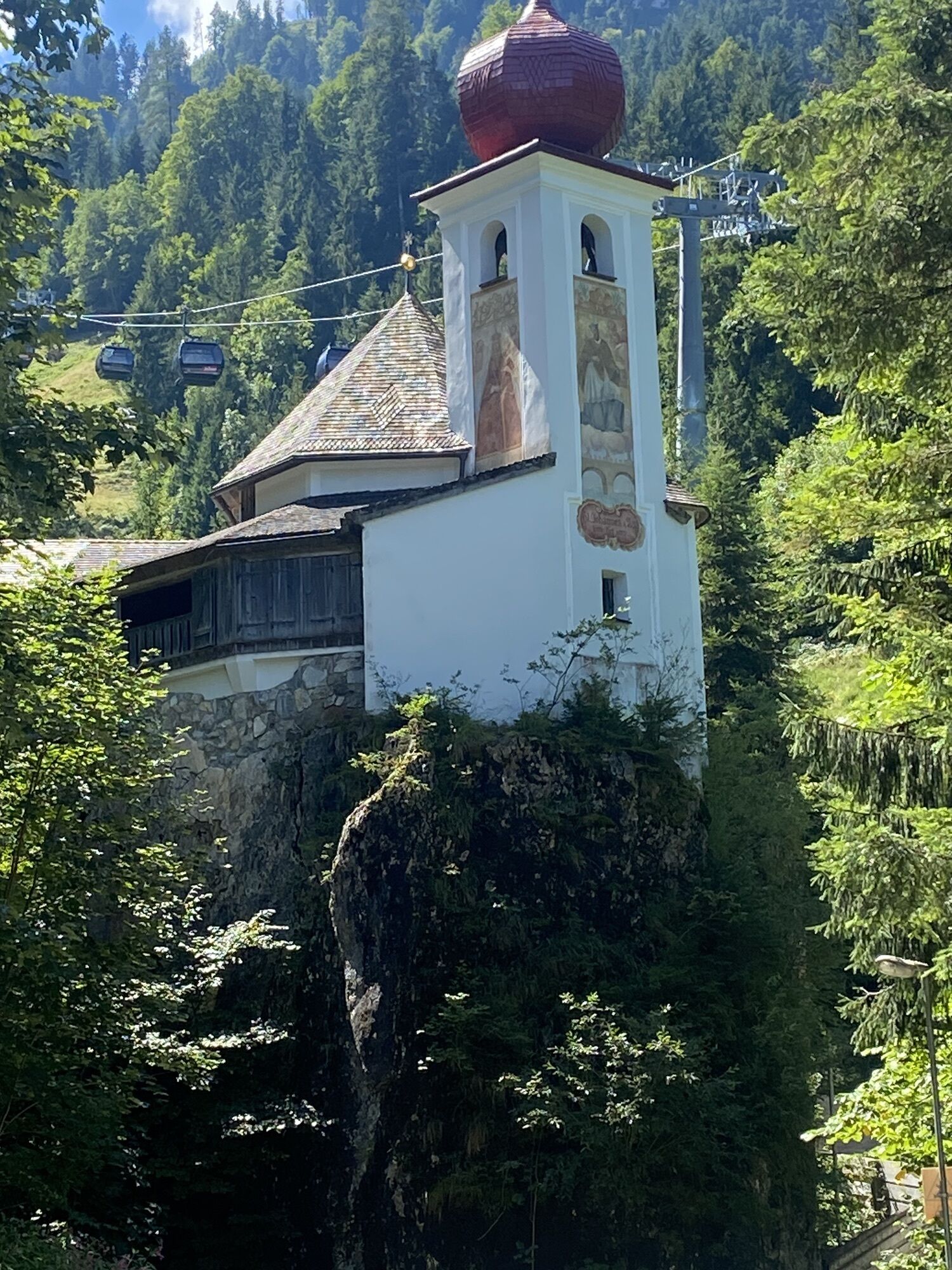
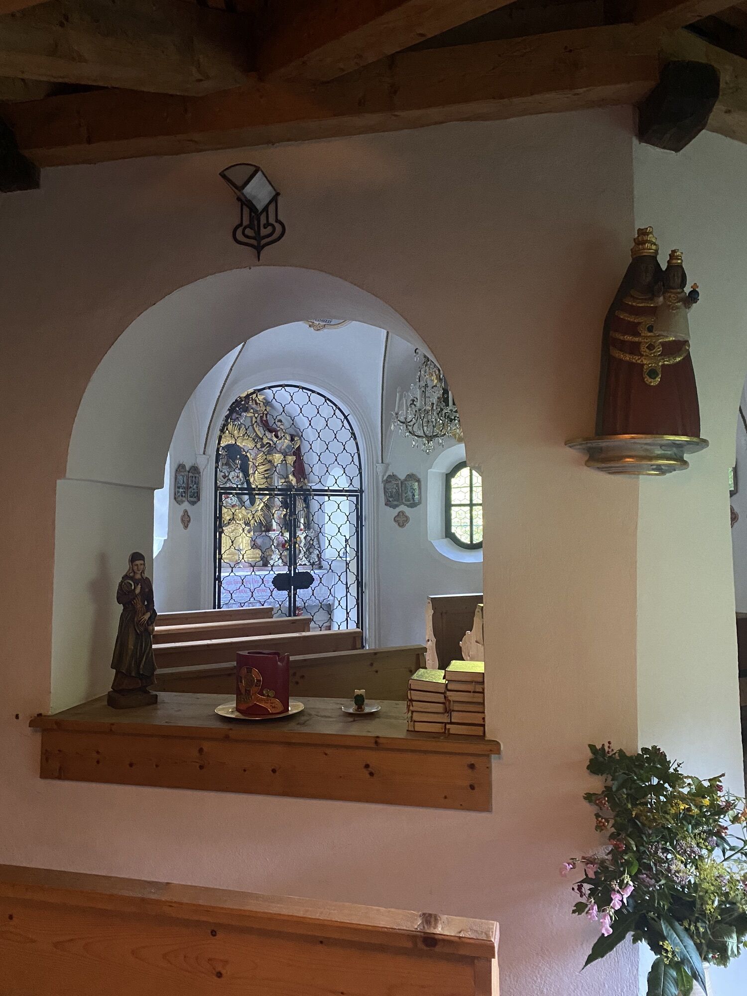
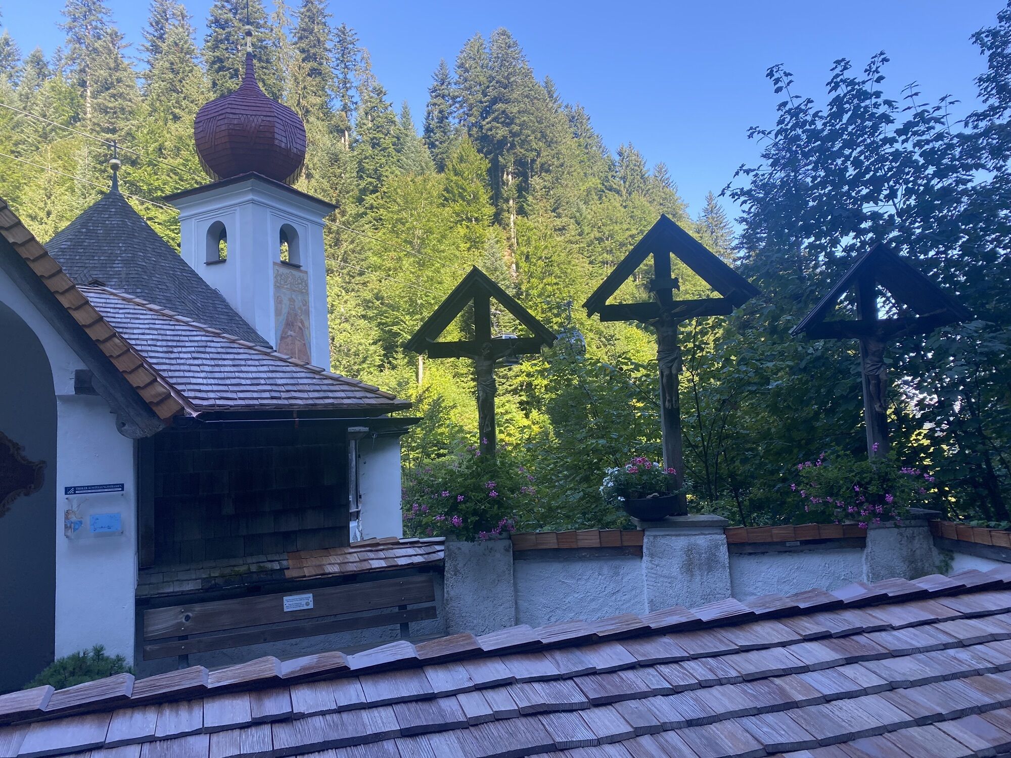
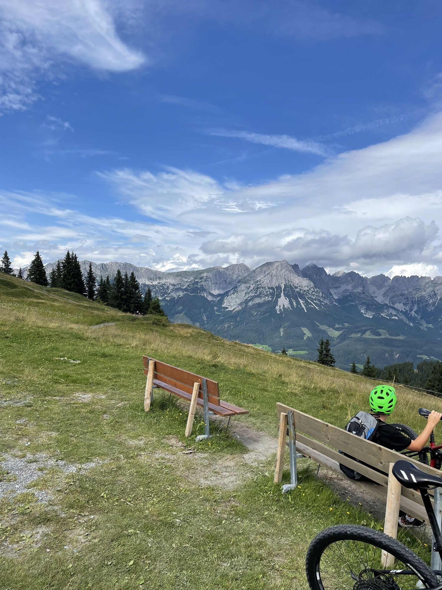
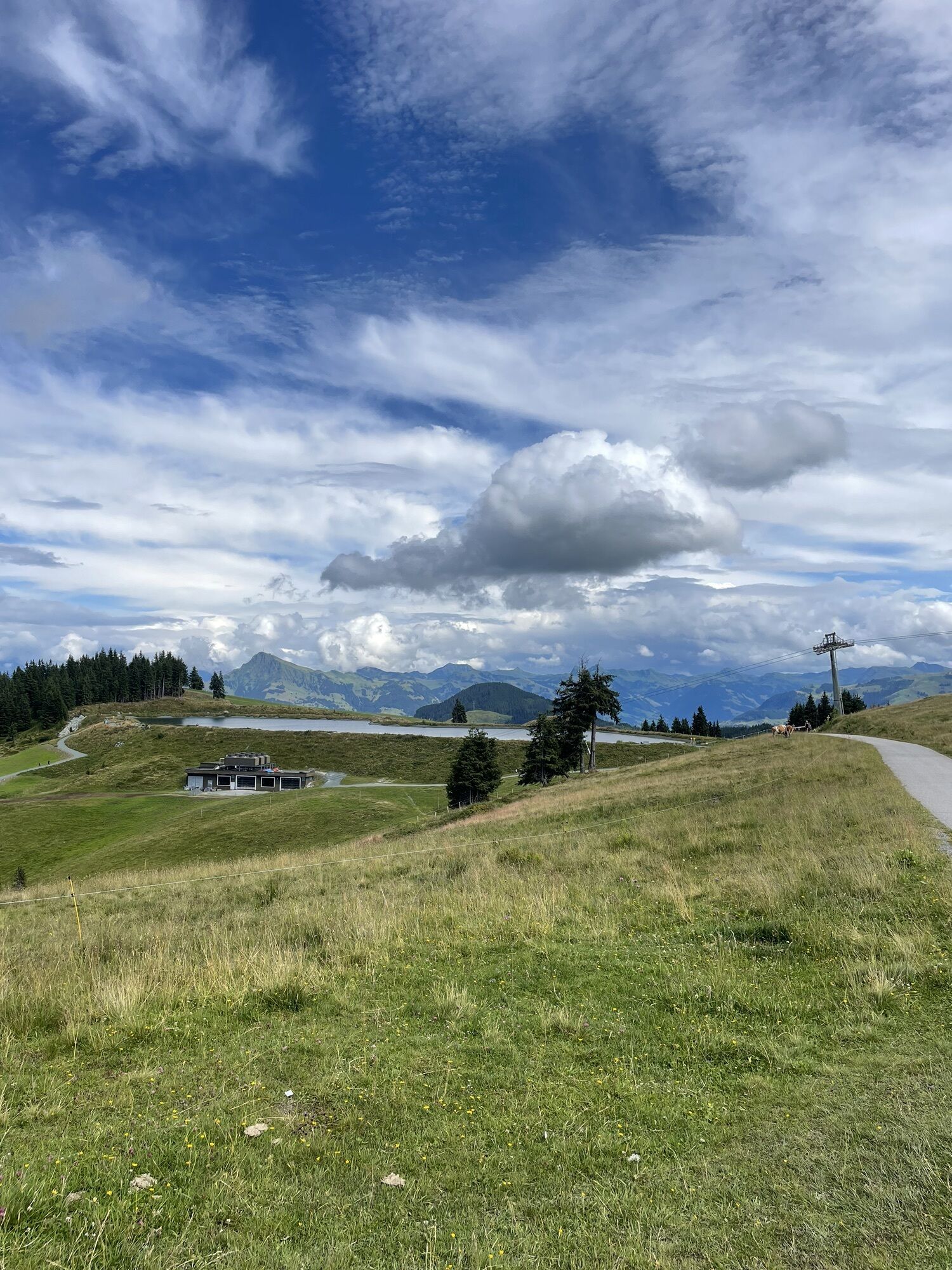
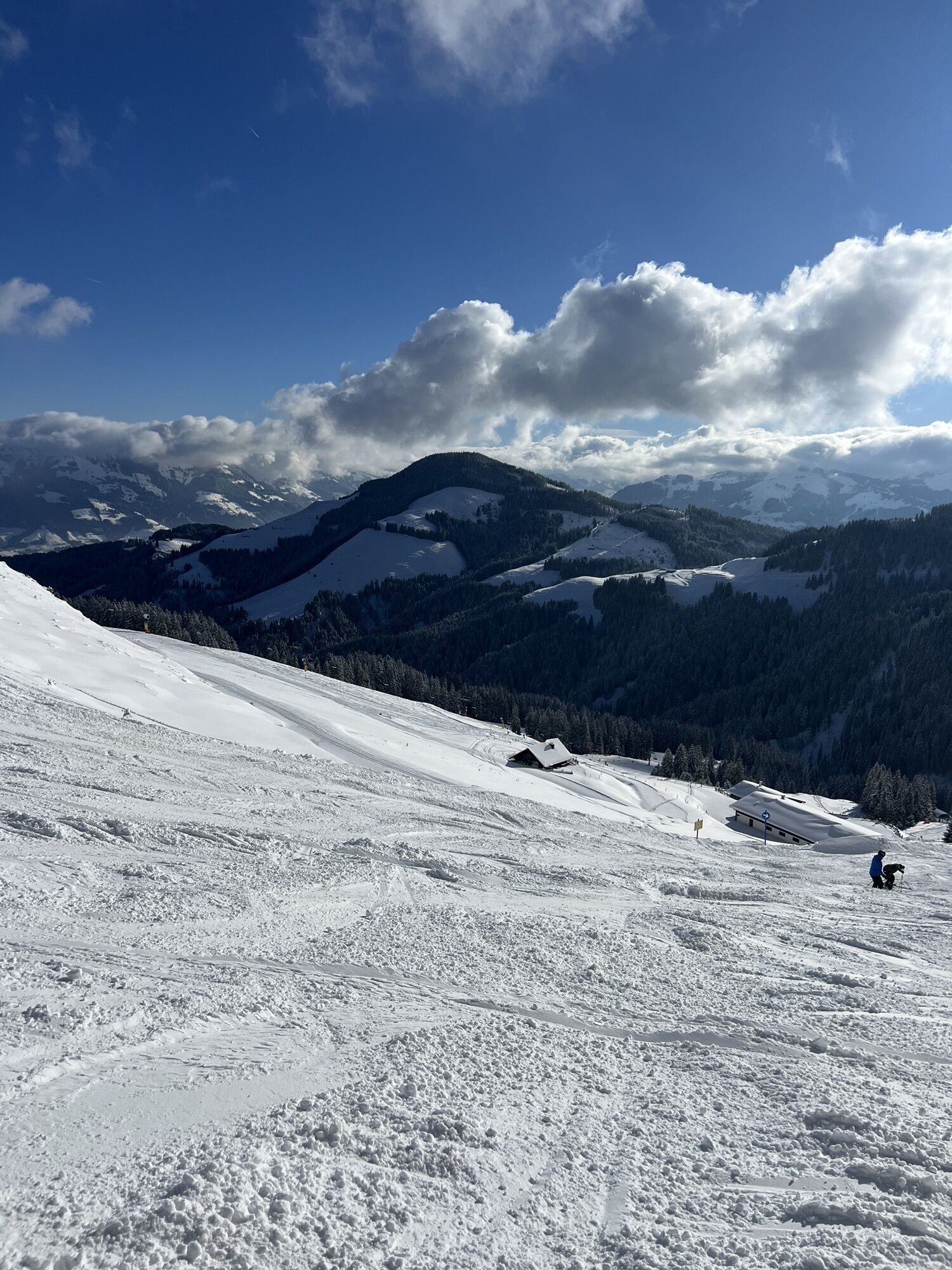
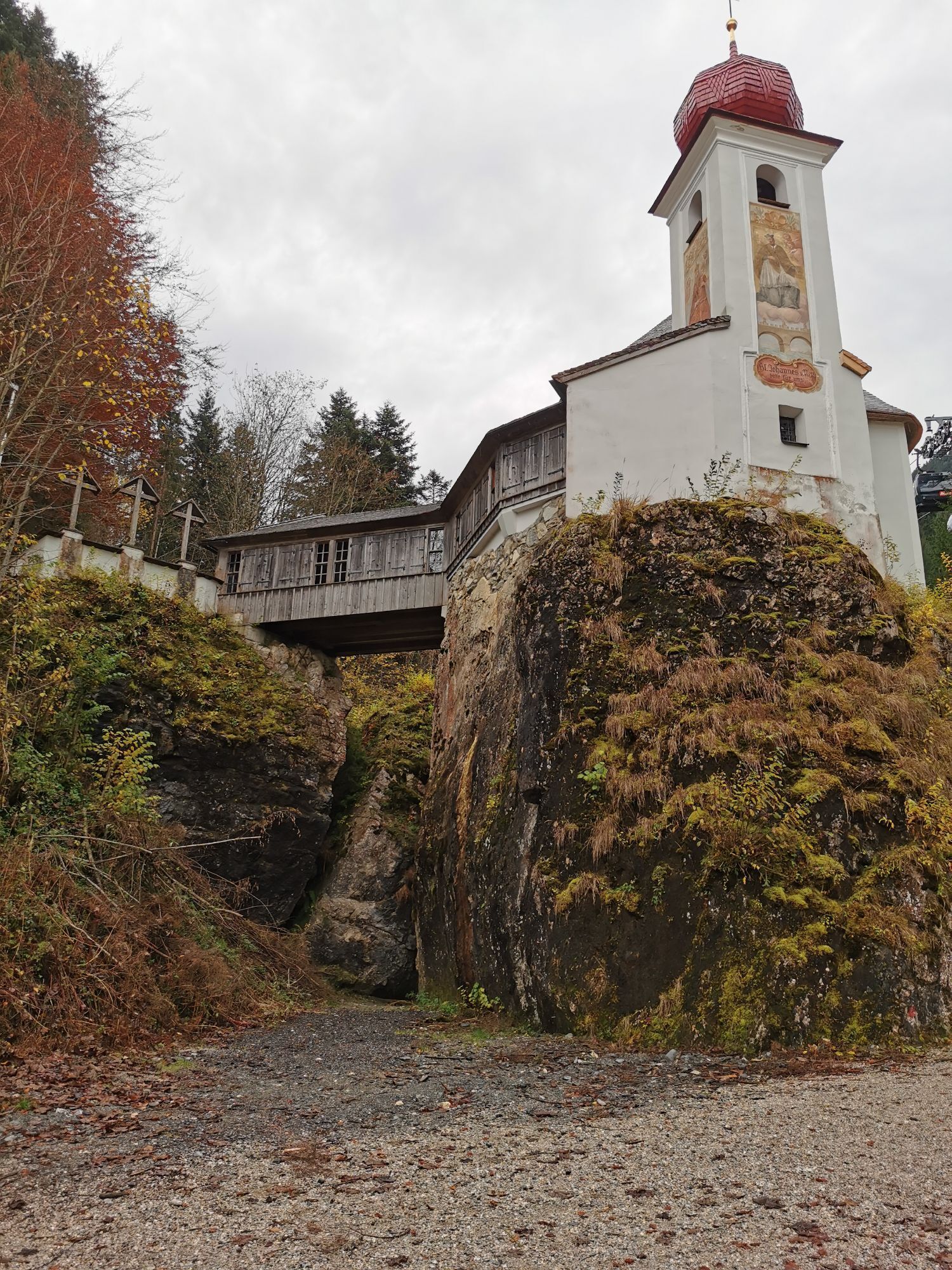
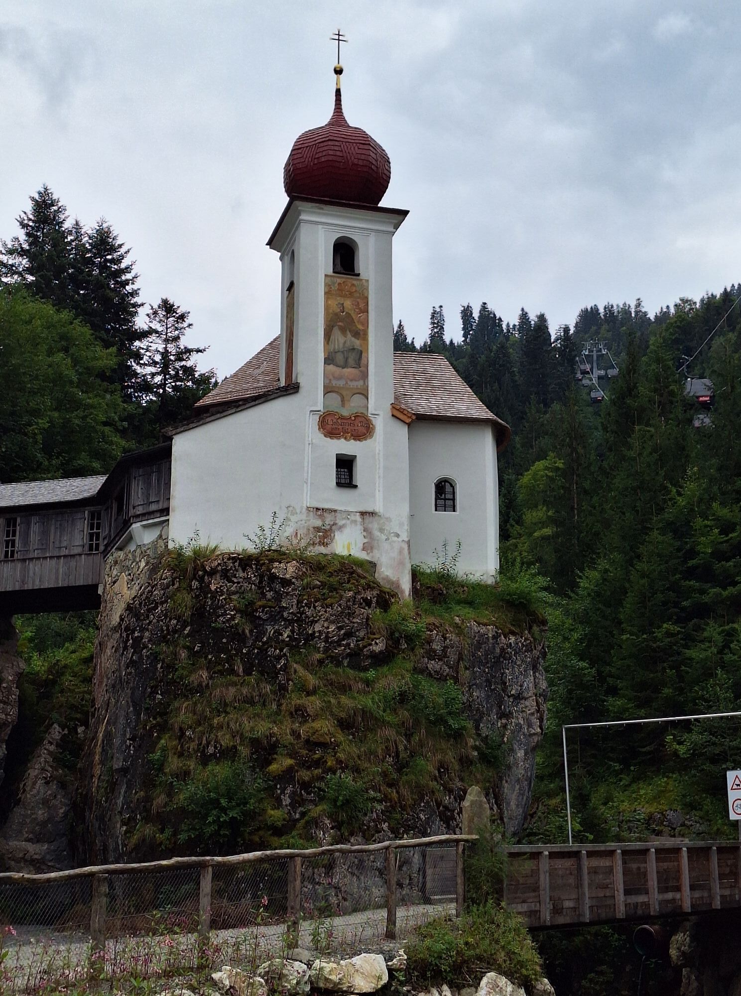

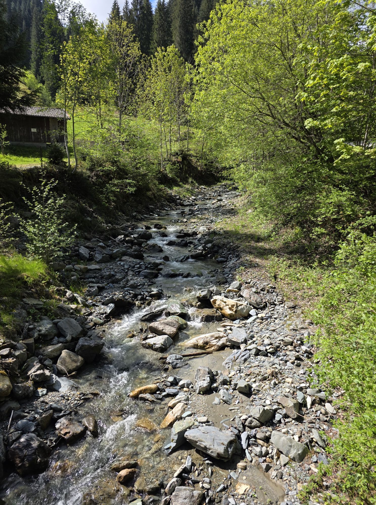
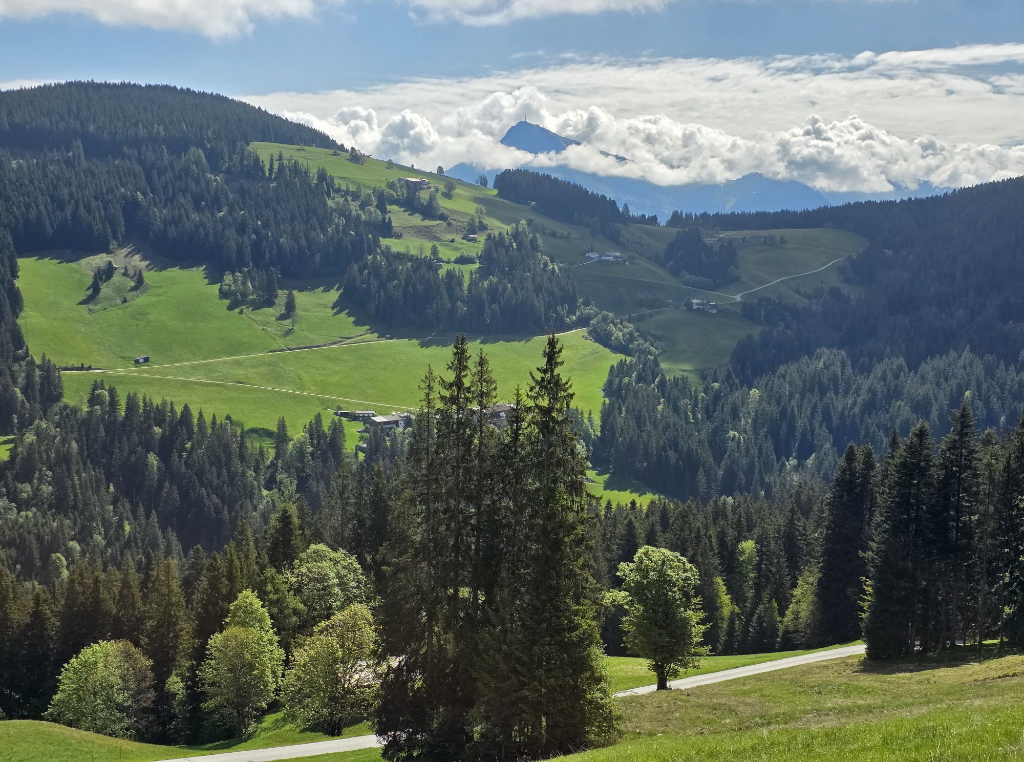
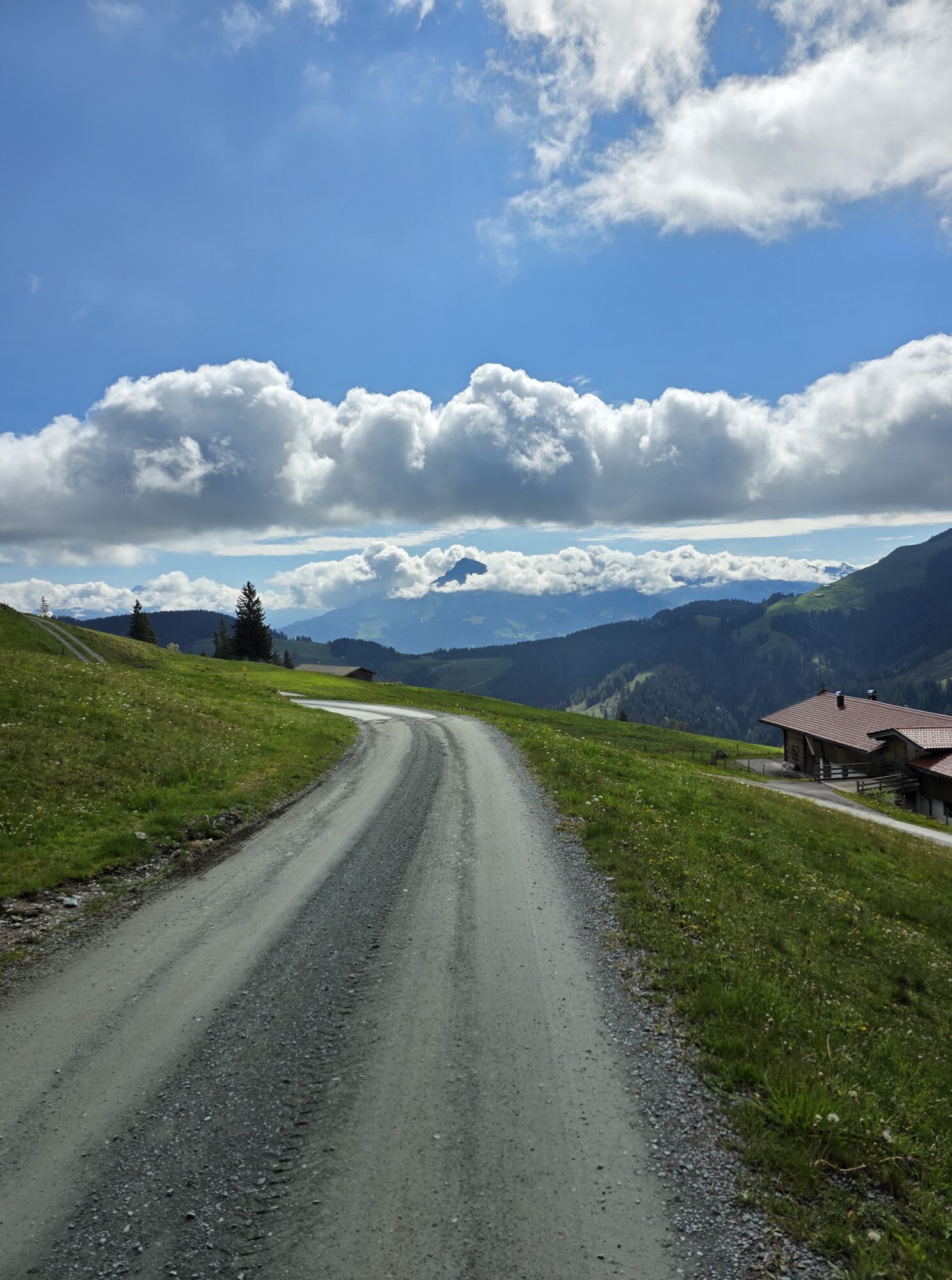
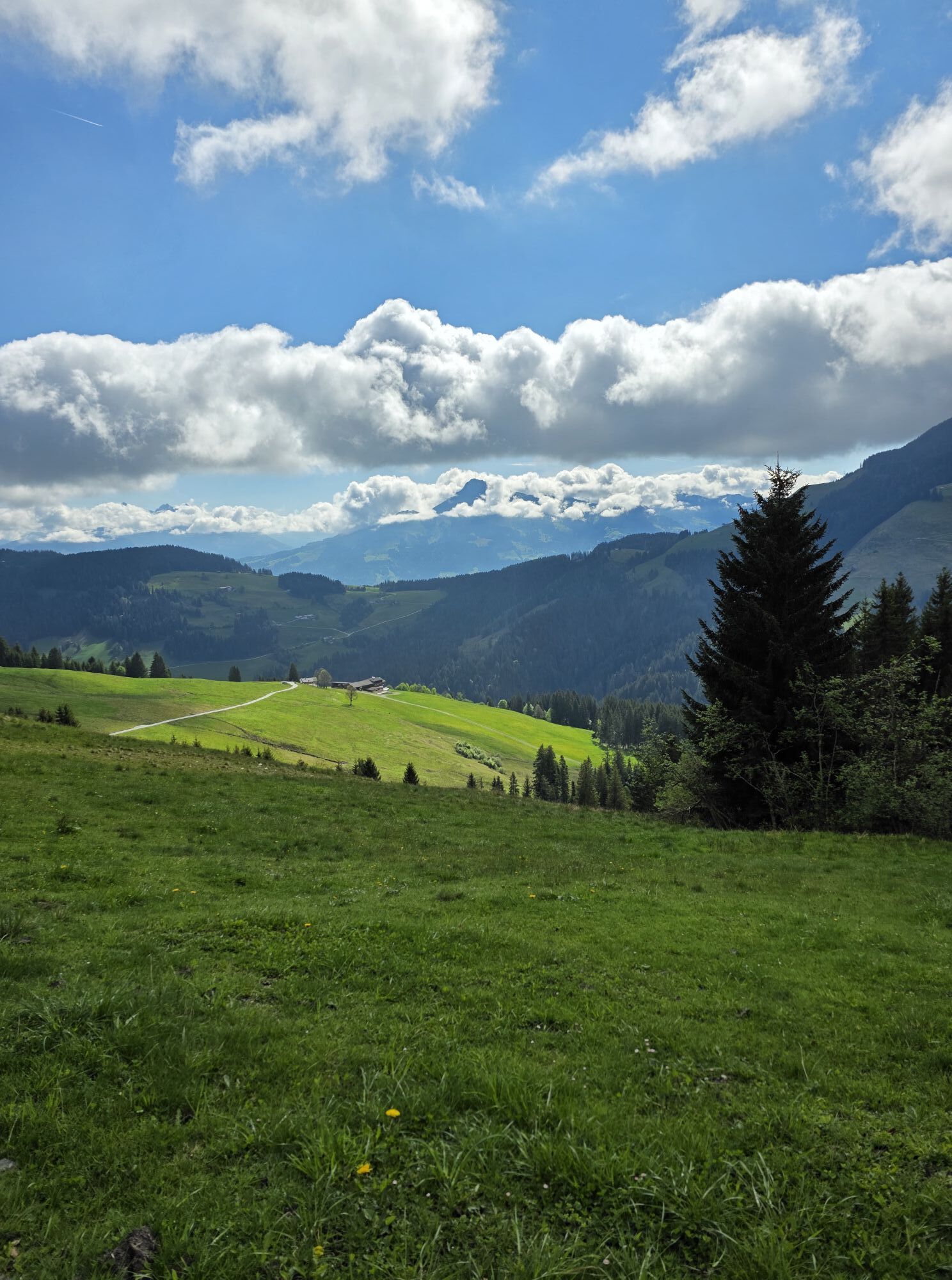
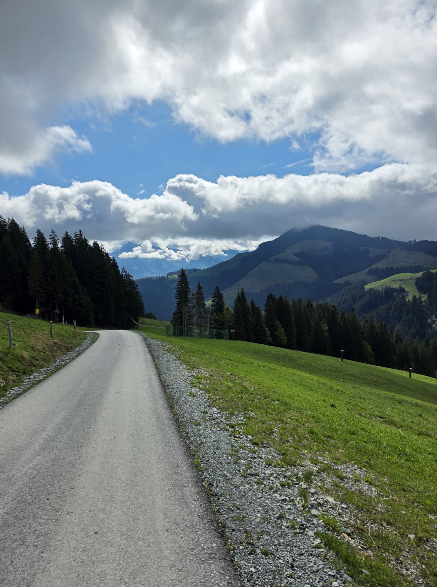
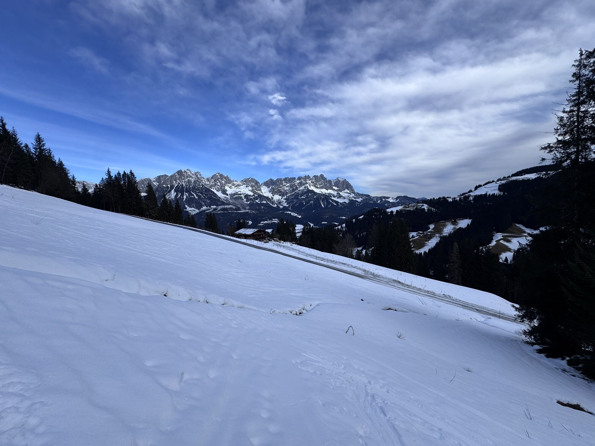
From Söll village centre, bike to the lift’s valley station. Keep left at Stampfangerkapelle chapel and cycle up Bromberg mountain to Gasthof Gruberhof inn. Follow the road round some sharp bends until...
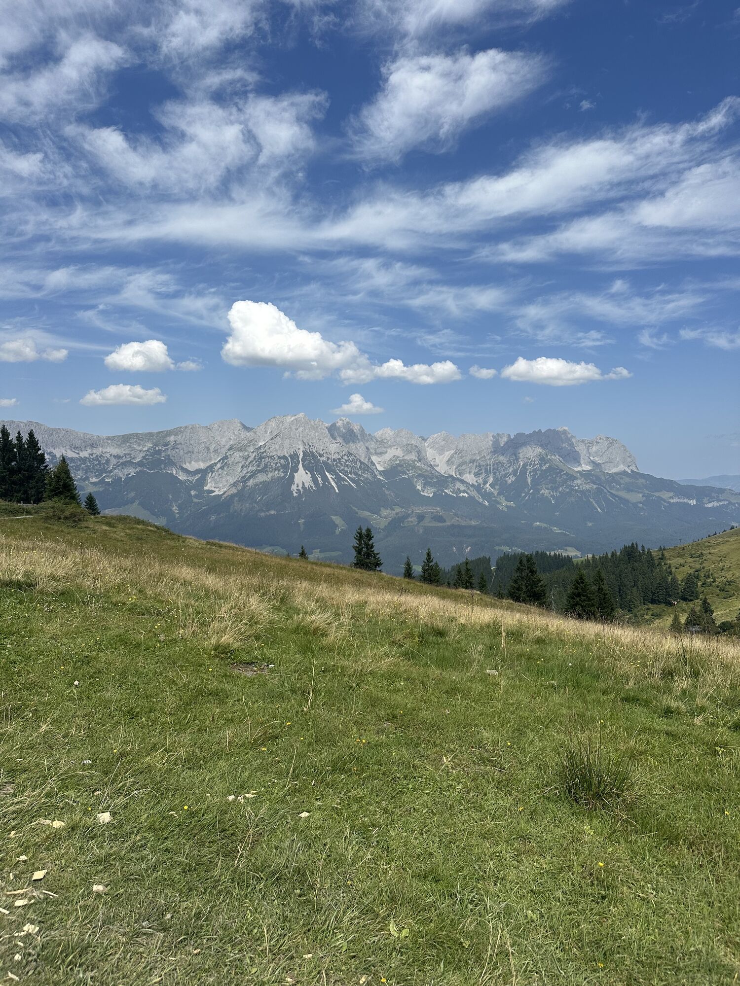
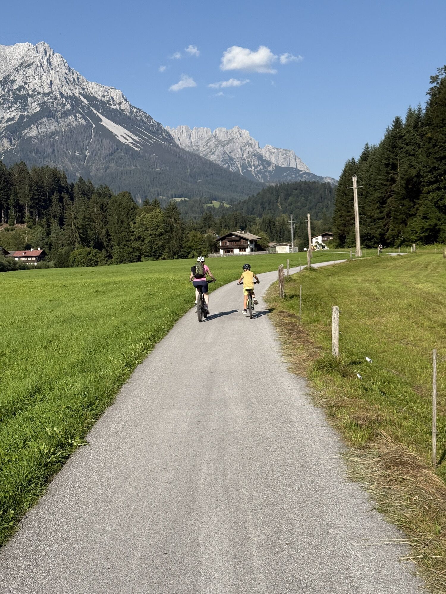
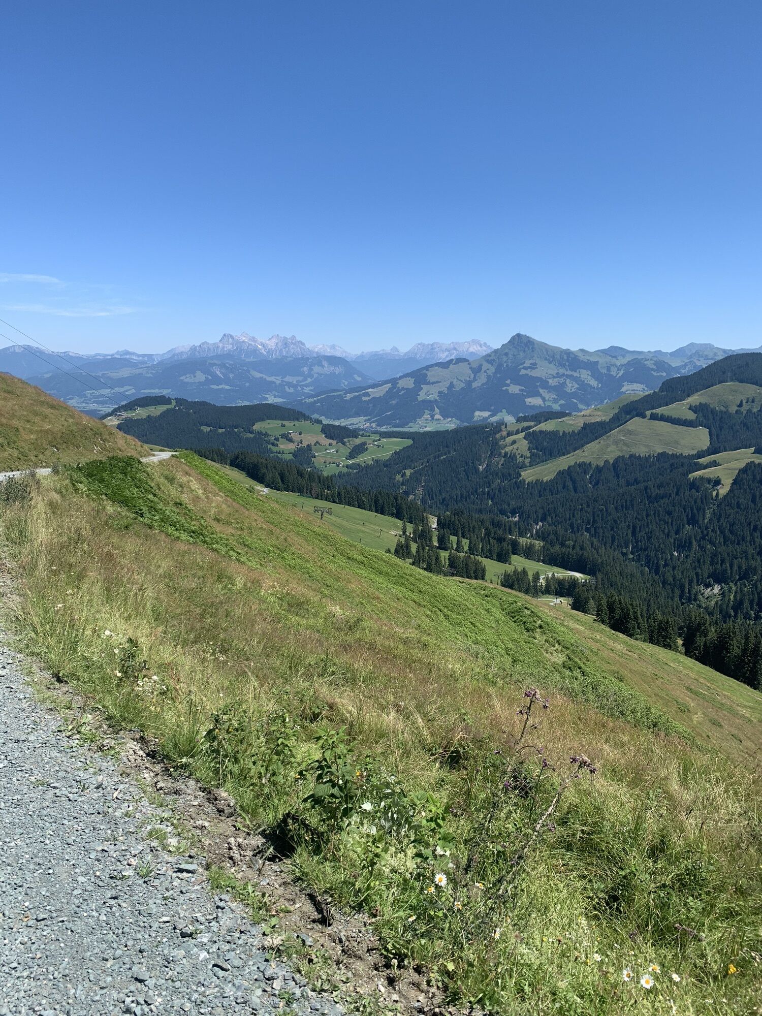
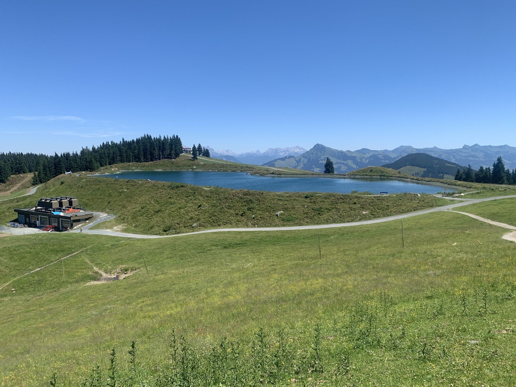
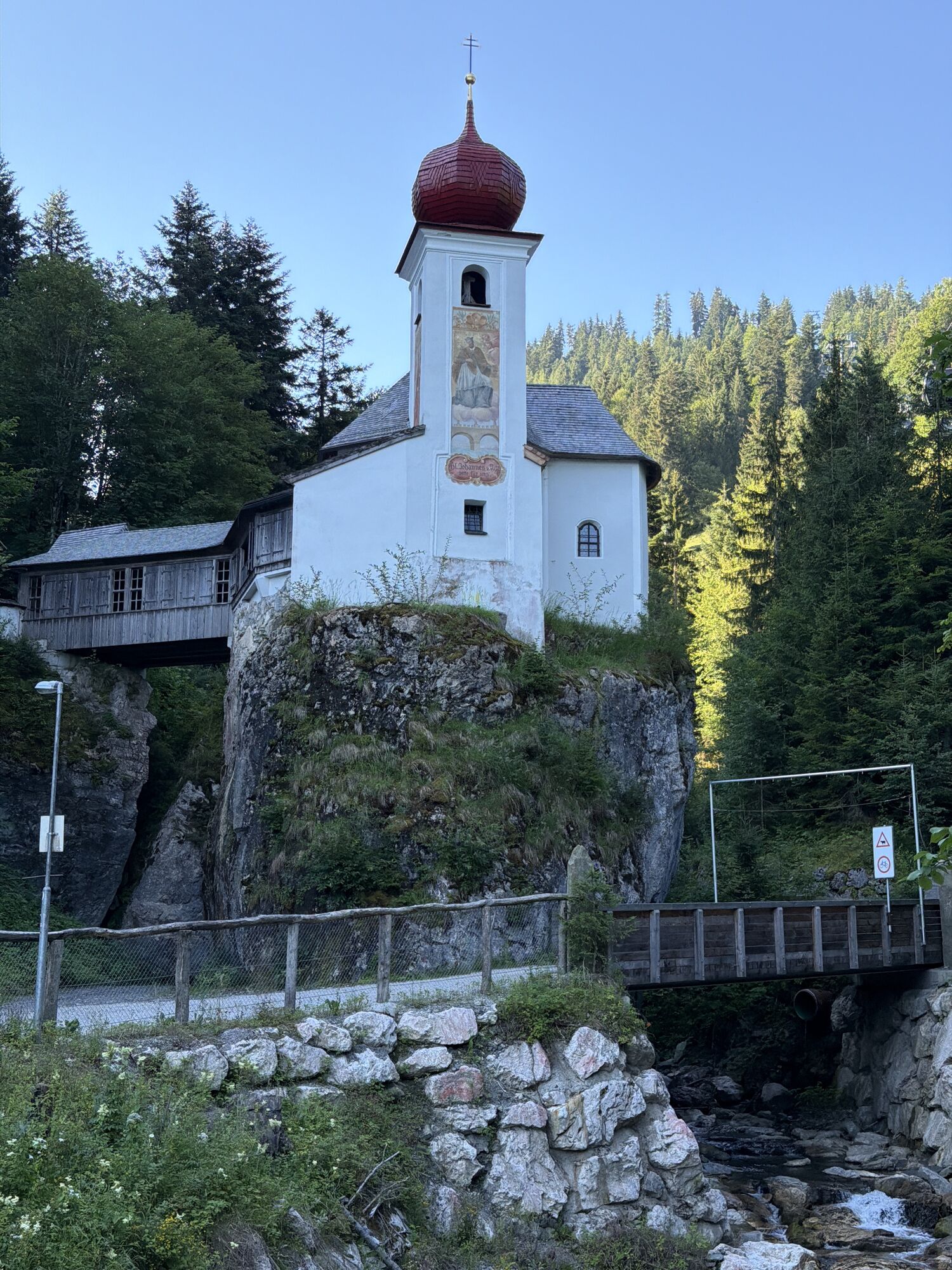
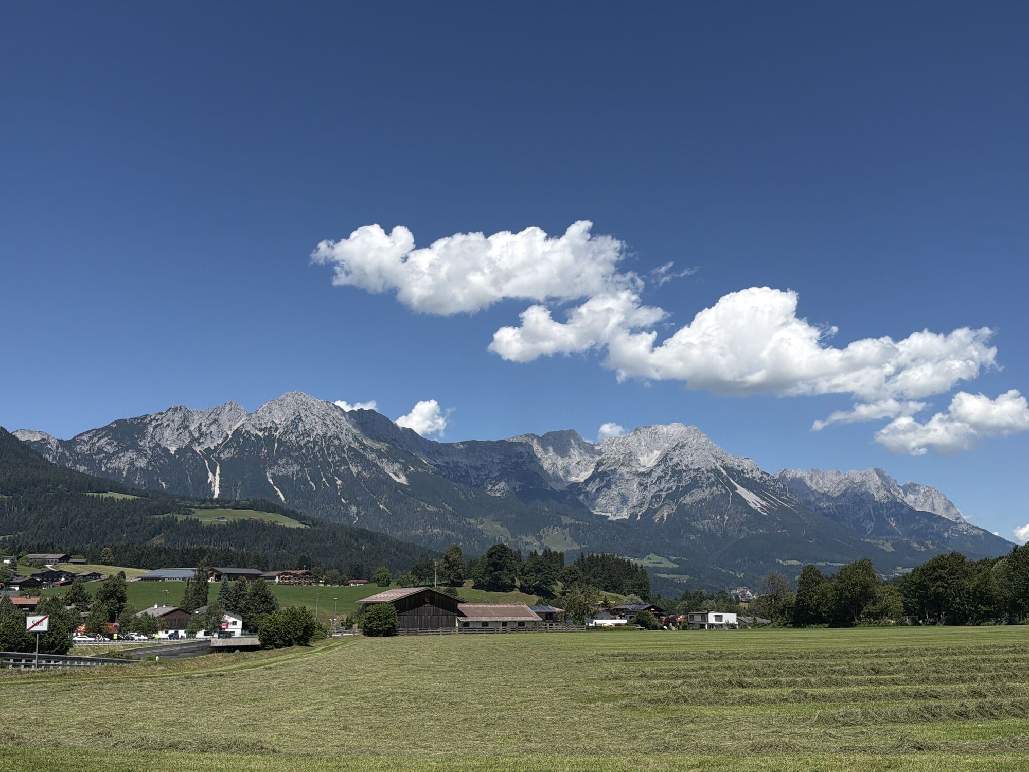
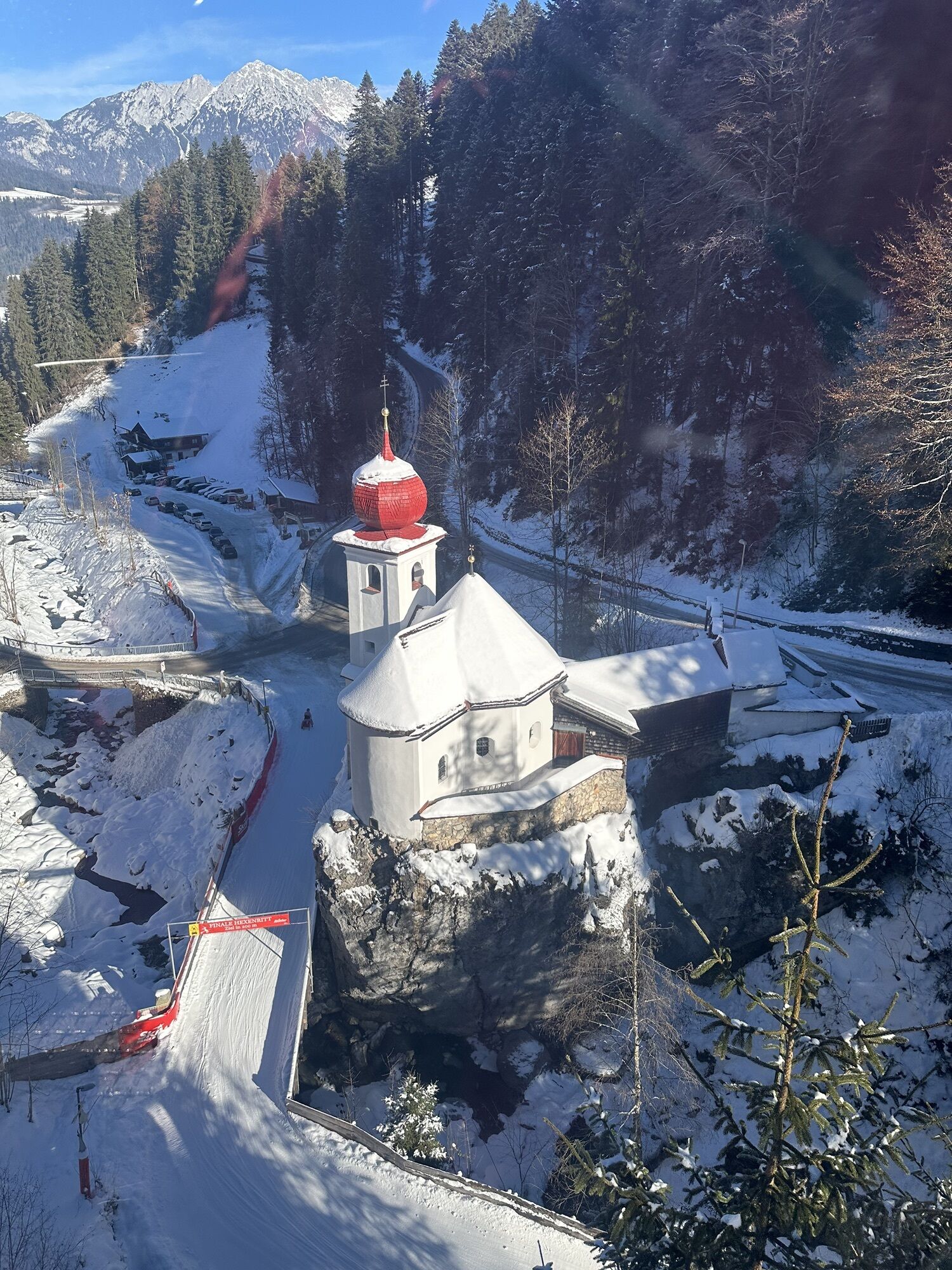
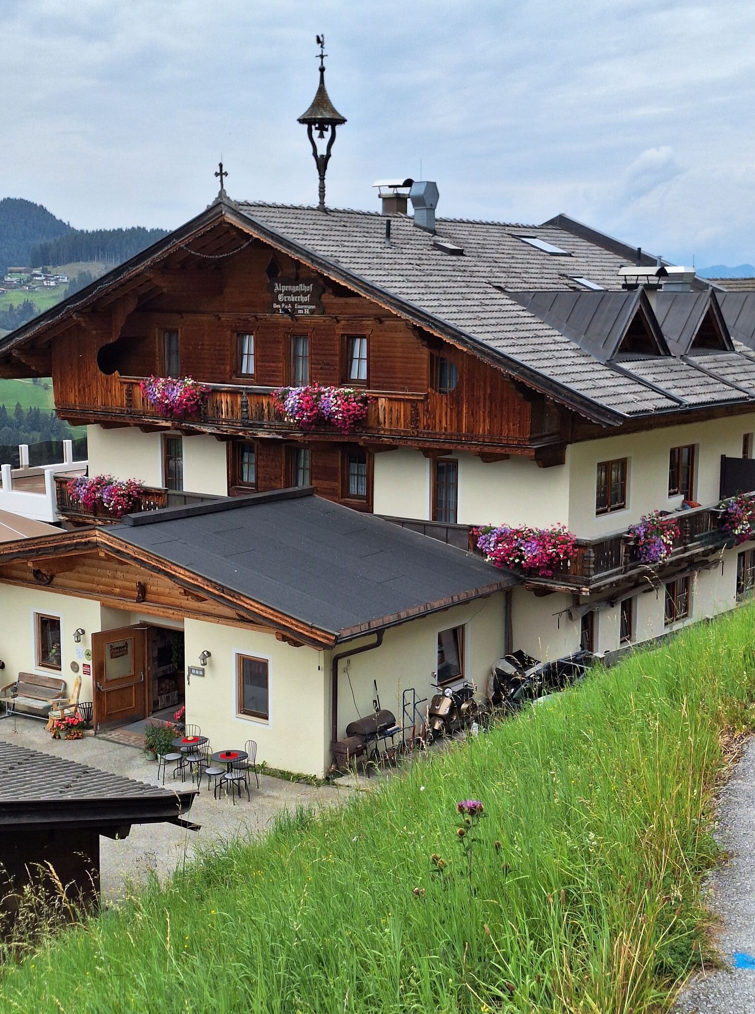
From Söll village centre, bike to the lift’s valley station. Keep left at Stampfangerkapelle chapel and cycle up Bromberg mountain to Gasthof Gruberhof inn. Follow the road round some sharp bends until you reach the intersection with the turnoff to Tanzbodenalm mountain inn. The comfortable sun terrace boasts tasty treats and magnificent panoramic views. On the forest road, cycle past Tanzbodenteich pond and the quaint Ranhartalm mountain hut to Ellmau. Cycle trail no. 14 takes you back to Söll.
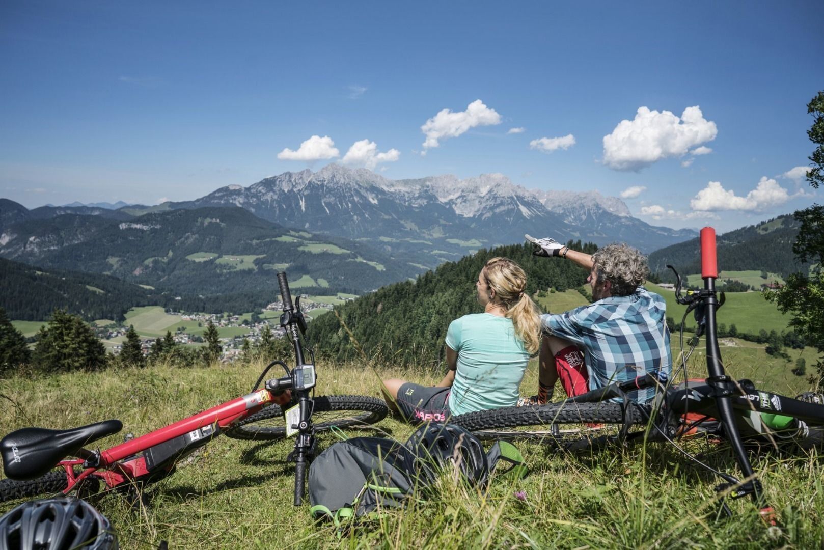
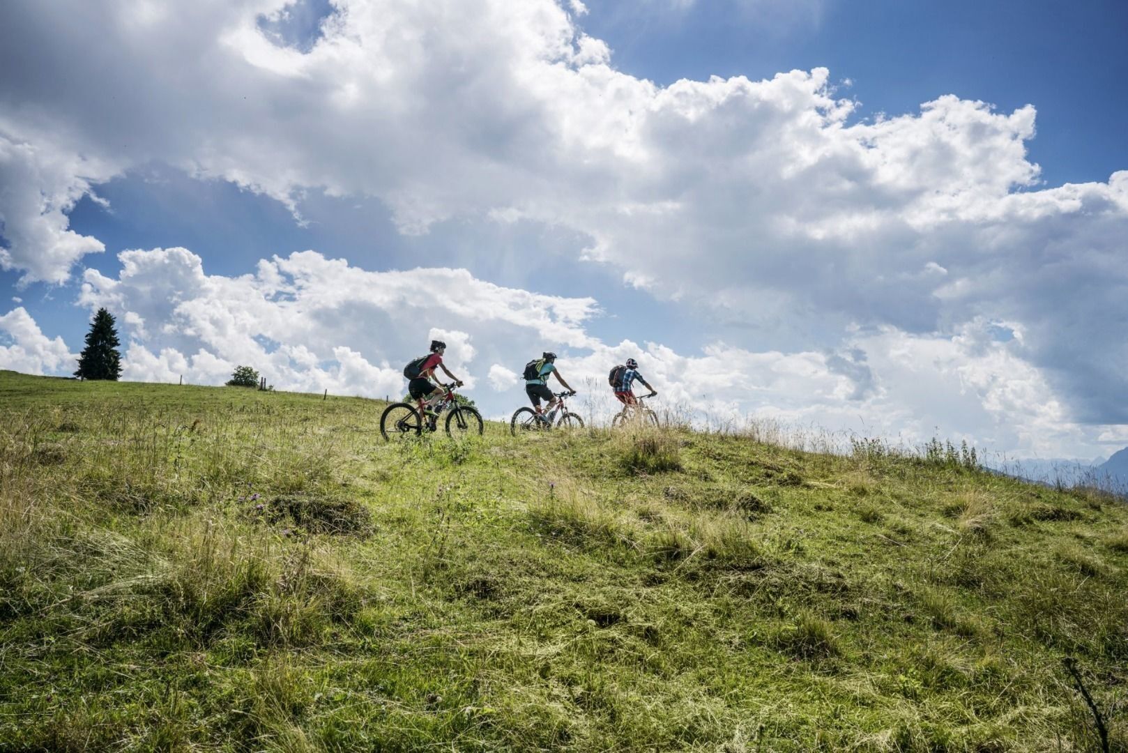
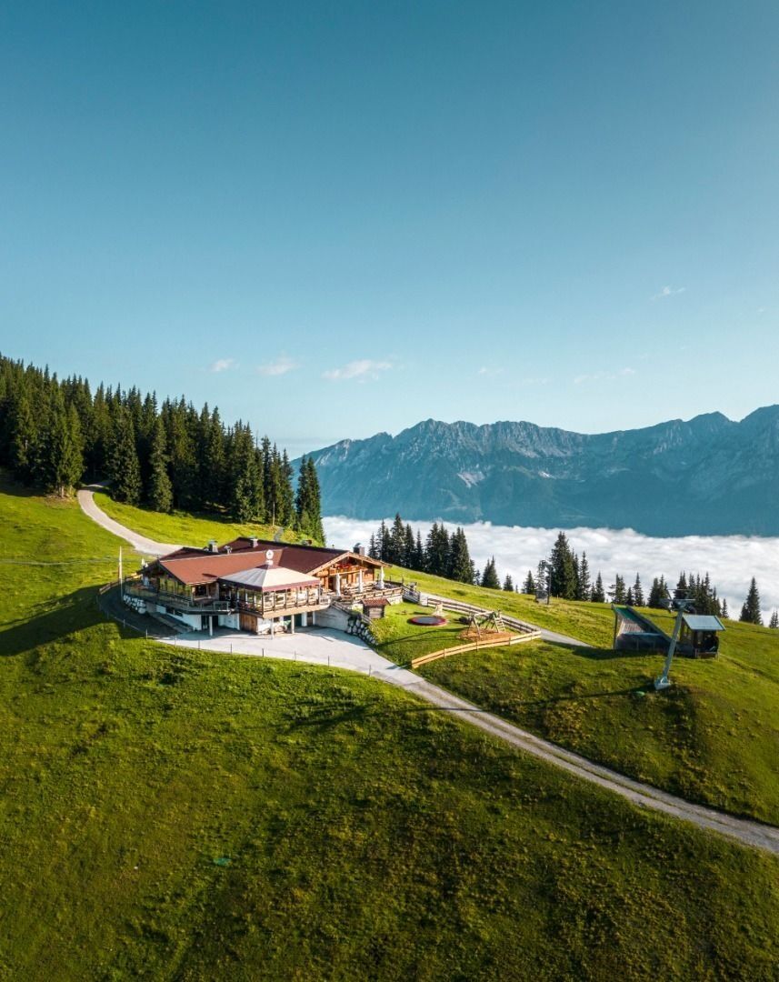

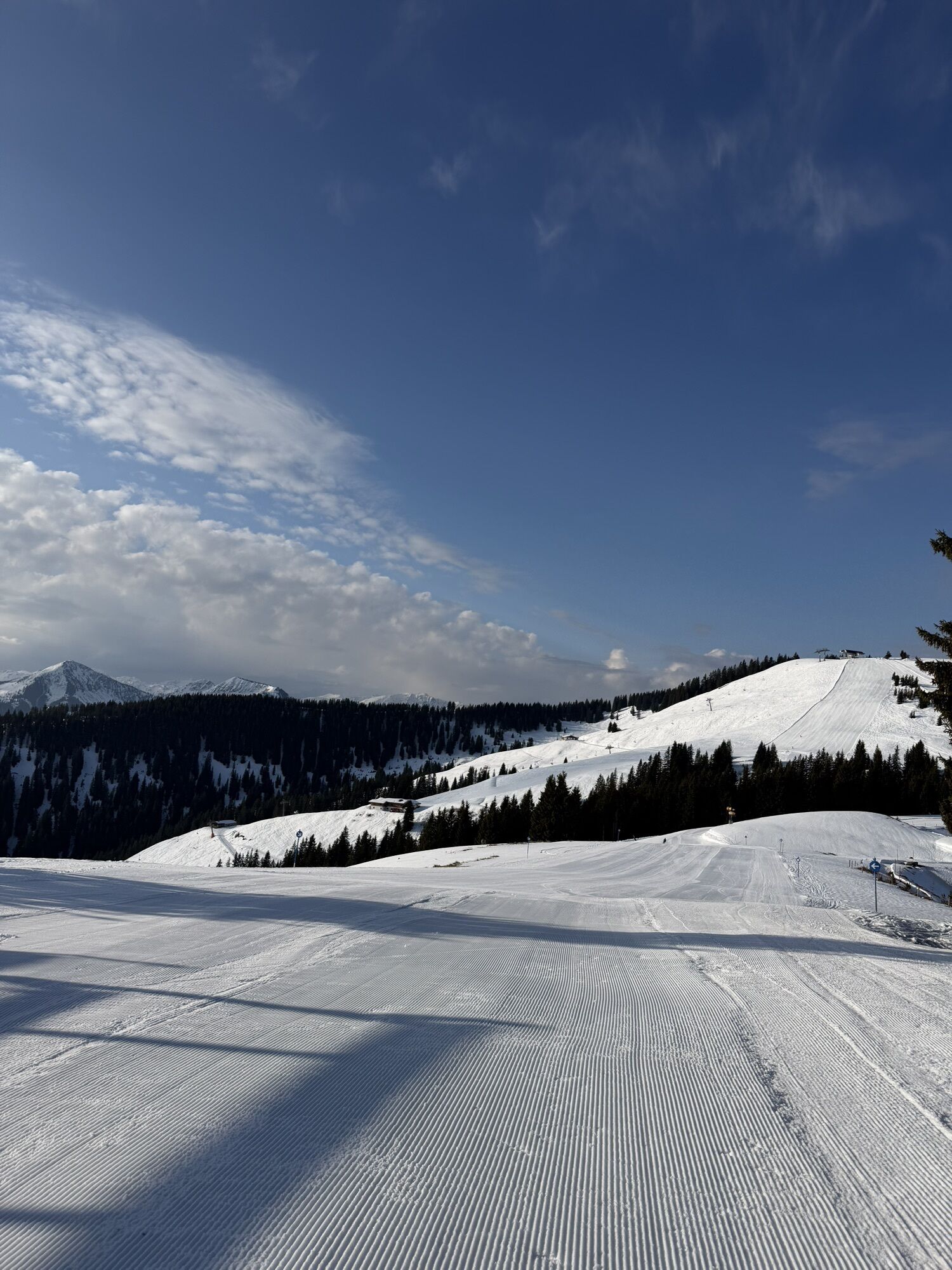
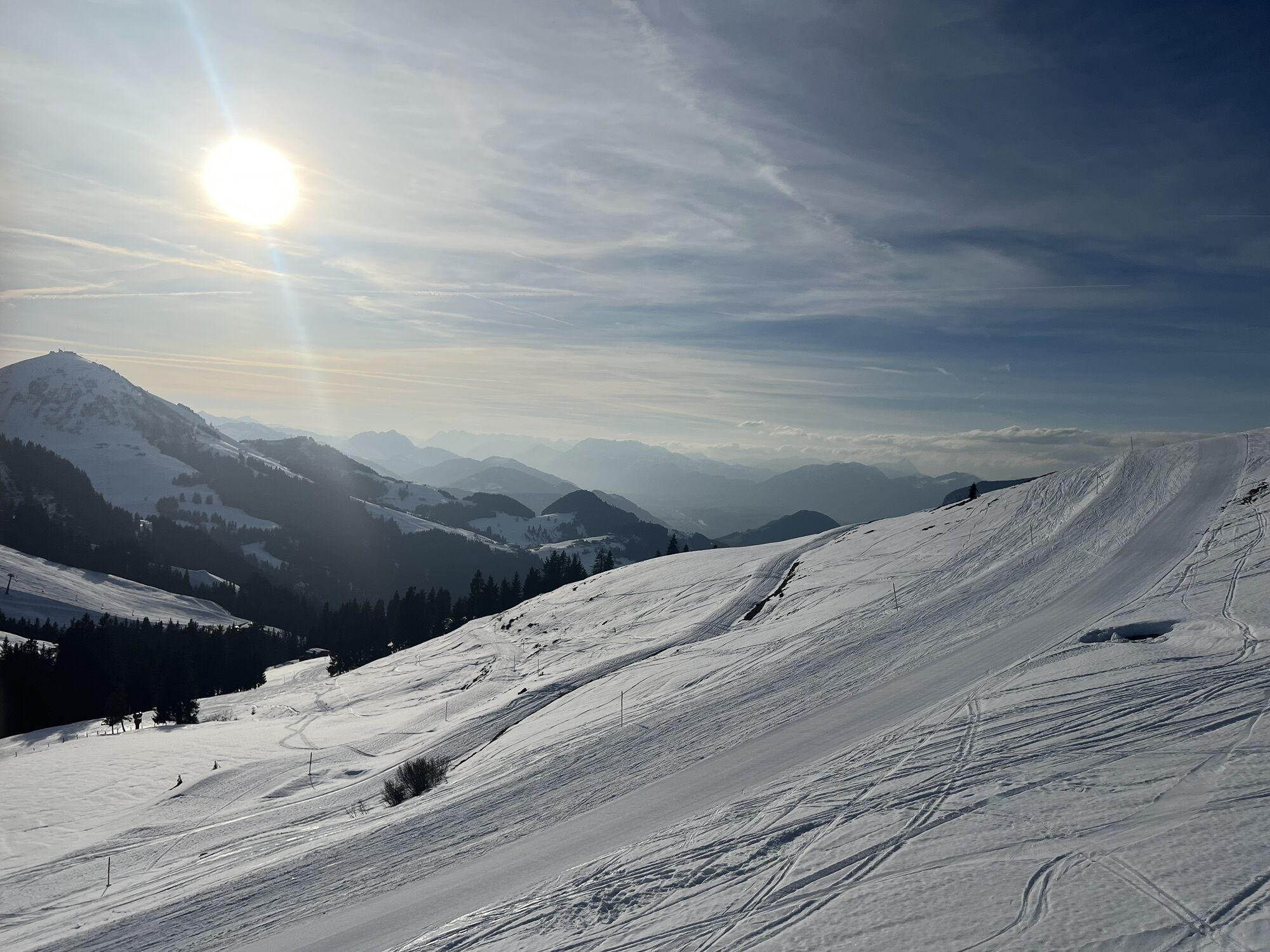
From Söll village centre you bike to the lift’s valley station. After about 100 metres the road bears left taking you up to the Bromberg mountain. Keep following the little used road past traditional farms and the Gasthof Gruberhof inn. Before you reach the ski area, you pass the Kogl-Kaser-Haus chalet. The road now twists and turns up through a series of sharp bends to the southern lift and to the Tanzbodenalm mountain inn (with sun terrace). You’re now free to choose to return by the same route or continue on an extremely attractive trail to Ellmau and then back to Scheffau via the Söllandl valley cycle path.
Cycle helmet, comfortable cycling clothes, a change of clothes, wind protection, cycling gloves, poss. rucksack with water bottle and food, first aid kit, poss. servicing/repair kit, bike map, route description and information materials (GPX track), ID, insurance card, cash
West Pölven public car park is located to the east of the supermarket car park. The Tourist Information Office is in the pedestrianised zone.
West Pölven public car park, Söll (689 m) – free
Infórmate
Siempre en directo con más de 9.500 webcams. bergfex Como usuario Pro, ahora puede ver las webcams correspondientes a muchos tours en la app de tours desde. Esto le permite ver las condiciones actuales directamente.
Actividades a lo largo del recorrido


Rutas populares en los alrededores
-
4,9
Streif Wanderweg
medioSenderismo 5,73 km -
4,8
Ellmauer Tor (22.07.2020)
medioSenderismo 9,32 km -
5,0
Schleierwasserfall Runde
medioSenderismo 5,63 km -
4,7
Musikantensteig zur Naunspitze
medioSenderismo 8,96 km -
5,0
Stripsenjoch Klettersteige/ Rundwanderung von Griesener Alm über Stripsenjochhaus und Feldberg
medioVía ferrata 10,2 km -
4,5
Kitzbüheler Horn über Horn-Gipfel-Höhenweg
medioSendero temático 5,30 km -
4,6
Hintersteinersee
medioSenderismo 9,87 km -
4,6
St. Johann in Tirol: Wasserfall & 3 Seen am Kitzbüheler Horn
medioSenderismo 12,7 km -
4,9
Gruttenhütte über Klammlweg
medioSenderismo 5,61 km -
4,5
Über Hintersteinersee und Walleralm aufs Hochegg
luzSenderismo 12,2 km
Senderismo y rastreo


No se pierda las ofertas y la inspiración para sus próximas vacaciones
Su dirección de correo electrónico se ha añadido a la lista de correo.





