
Lucknerhaus circuit No. 117
medio
Consigue este tour en tu móvil
Lucknerhaus circuit No. 117
medio
Mountainbike
13,72
km
Escanee el código QR e inicie la navegación en la aplicación bergfex


Senderismo y rastreo



Lucknerhaus circuit No. 117
medio
Distancia
13,7
km
Duración
02:10
h
Ascenso
582
m
Nivel del mar
1.330 -
1.918
m

Navega por tu recorrido en la aplicación
Instala la aplicación de forma gratuita y no pierdas de vista la ruta, con navegación por GPS y seguimiento.
Usa ya « bergfex » en la aplicación
Escanea el código QR con tu cámara
Una vez instalada la aplicación, el contenido se abre directamente. Si aún no tienes la aplicación, podrás descargarla de forma gratuita.
Descarga de pistas
Lucknerhaus circuit No. 117
medio
Mountainbike
13,72
km
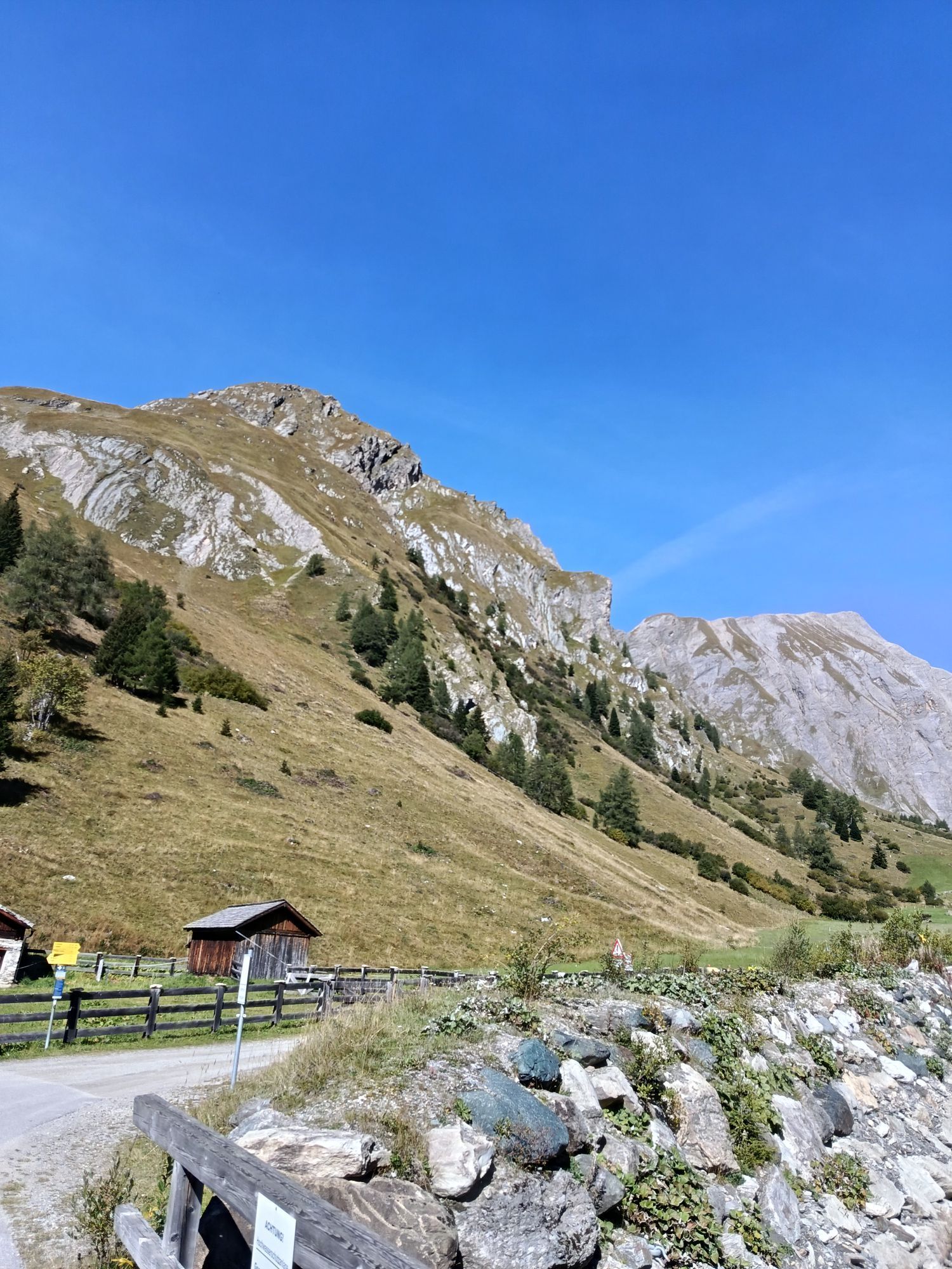
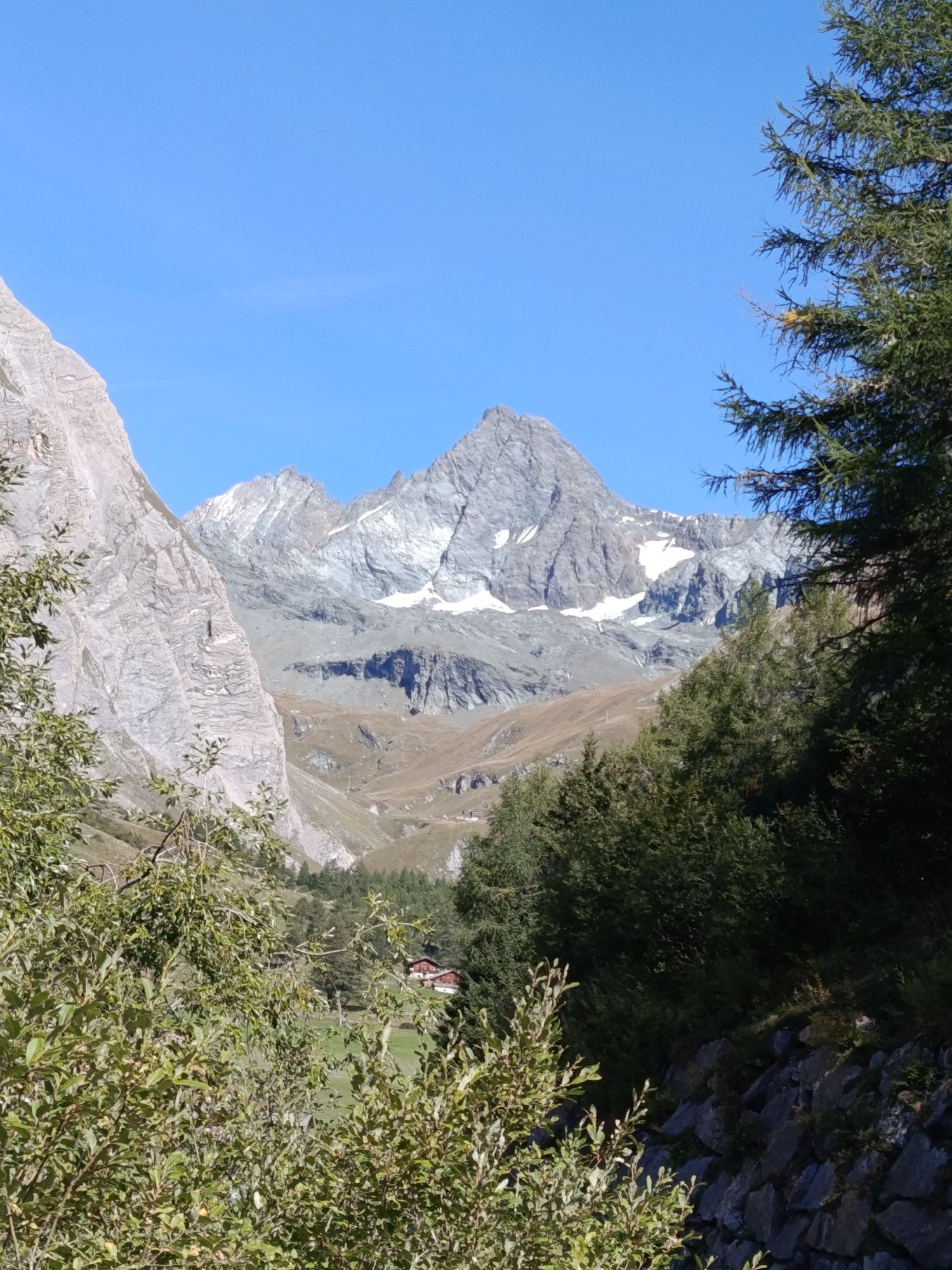
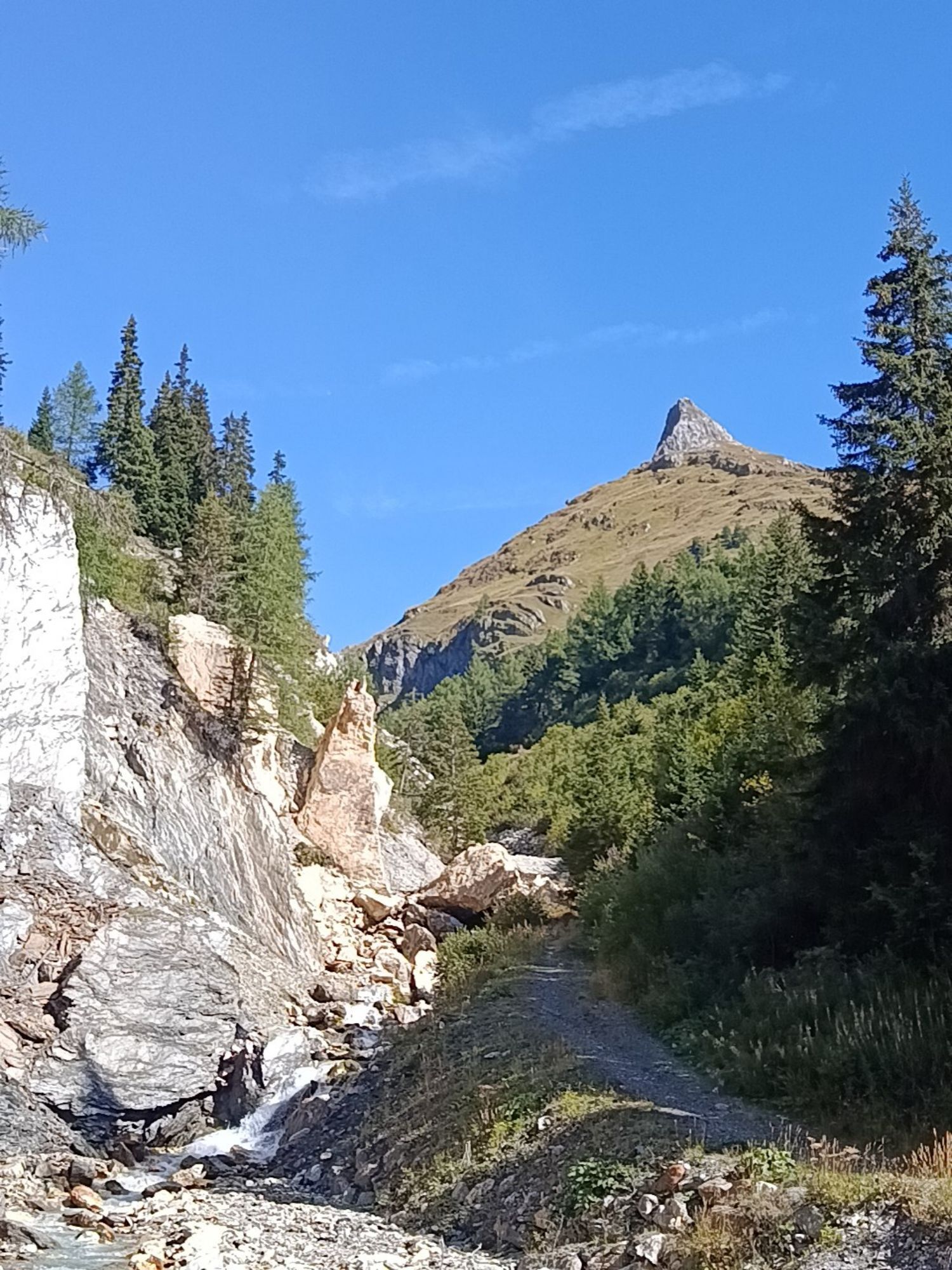
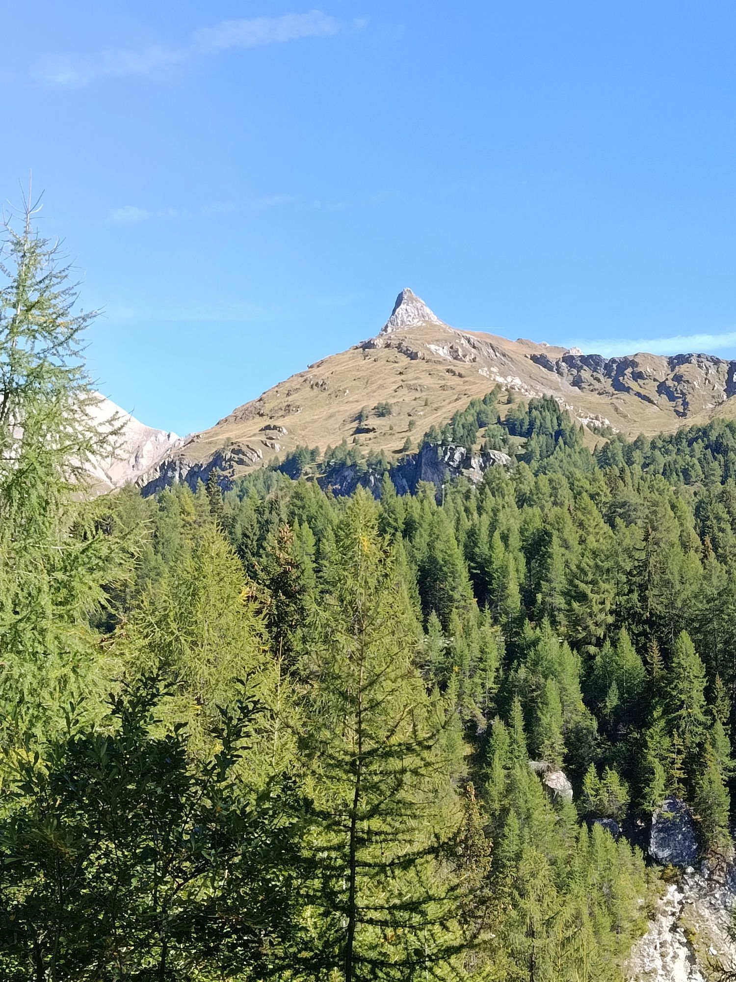
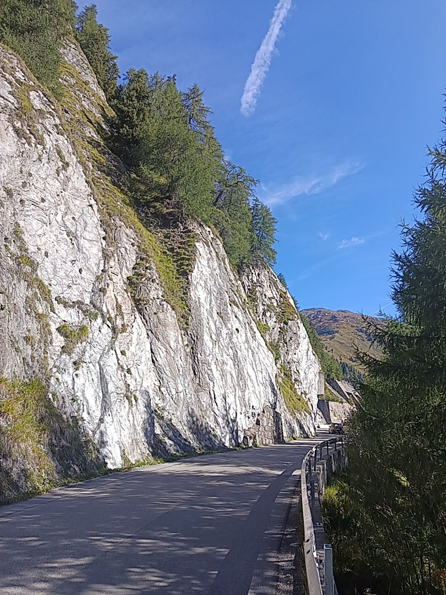
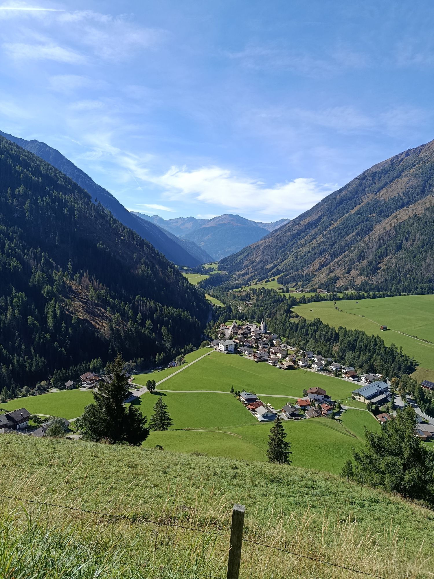
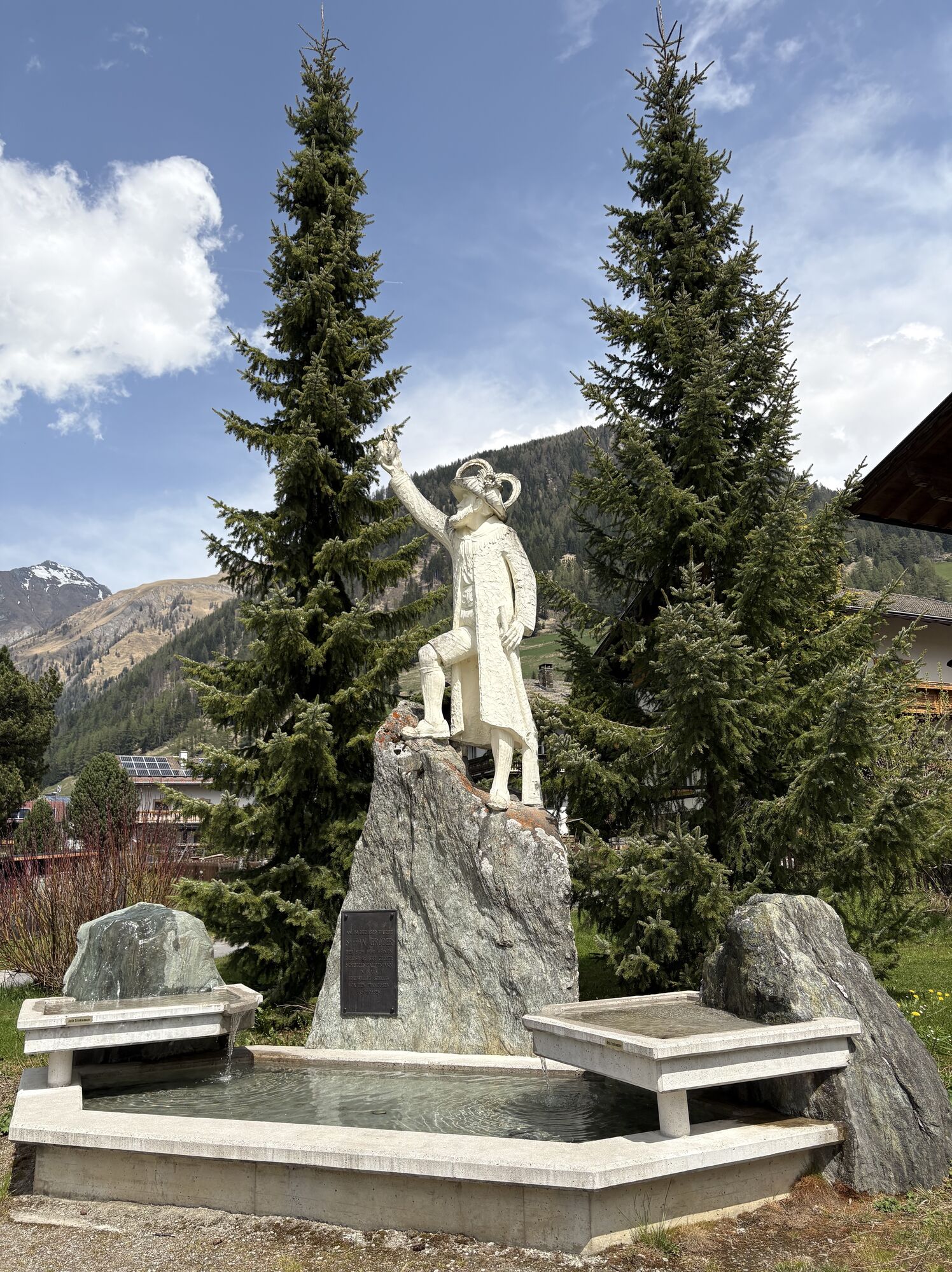
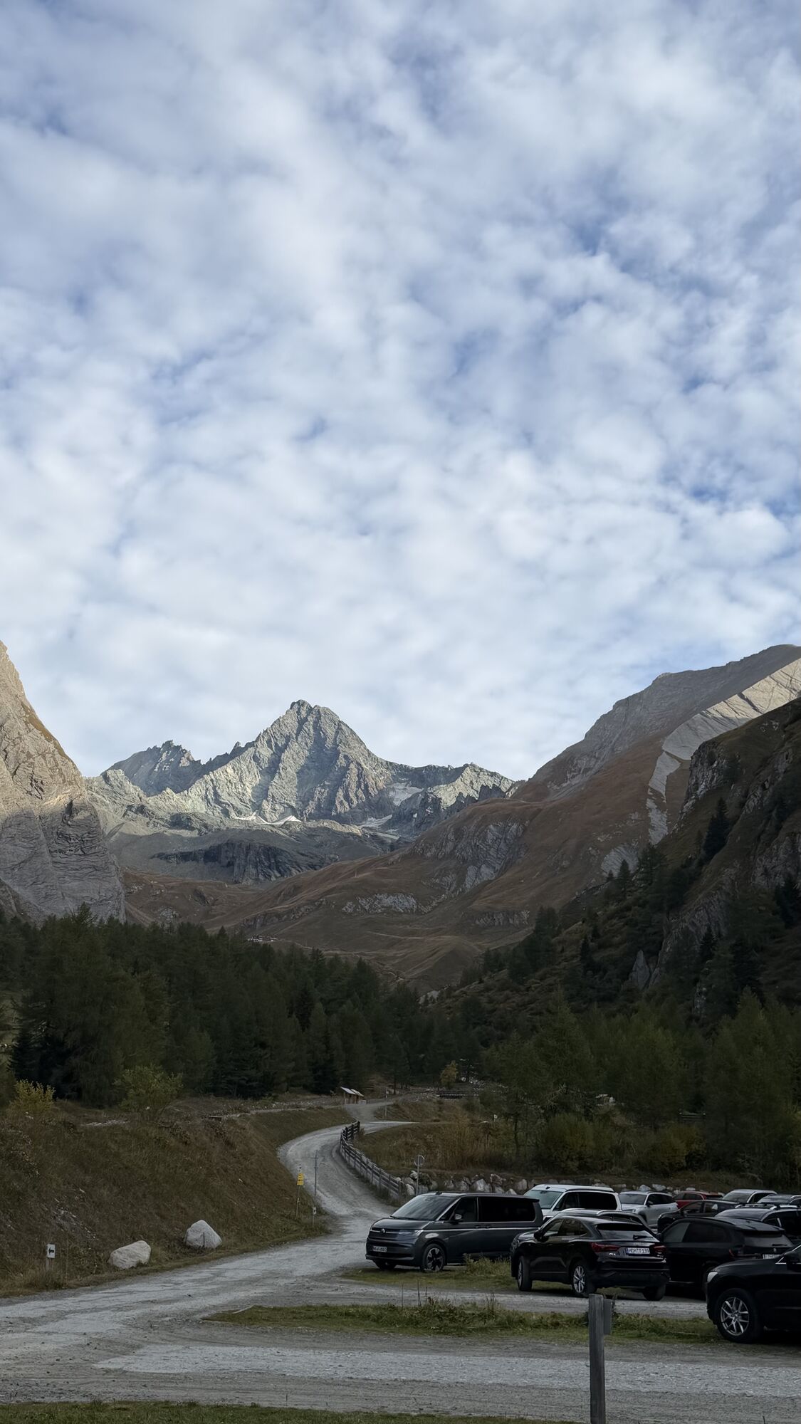
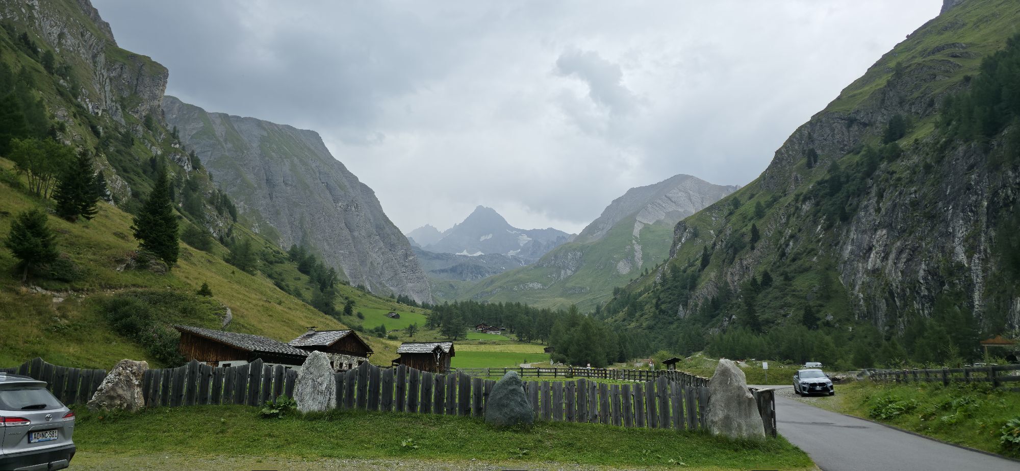
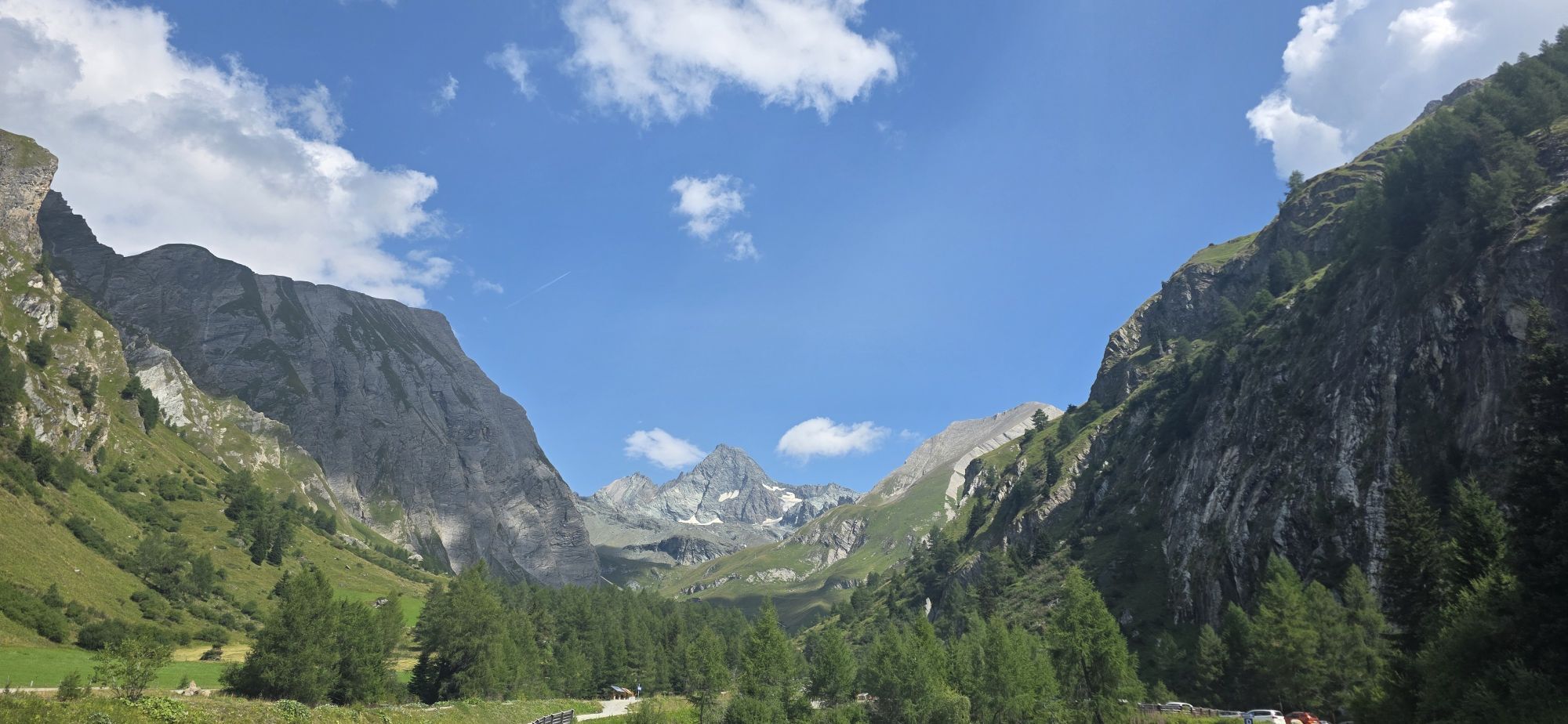
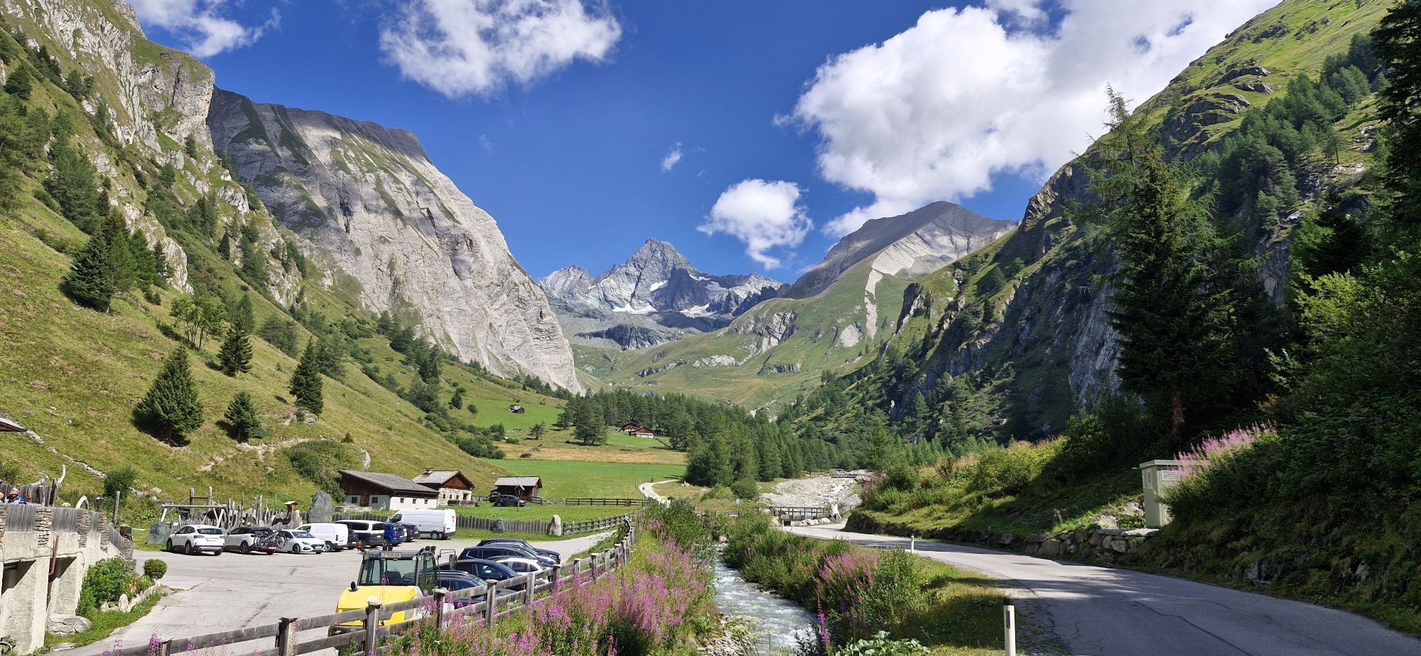
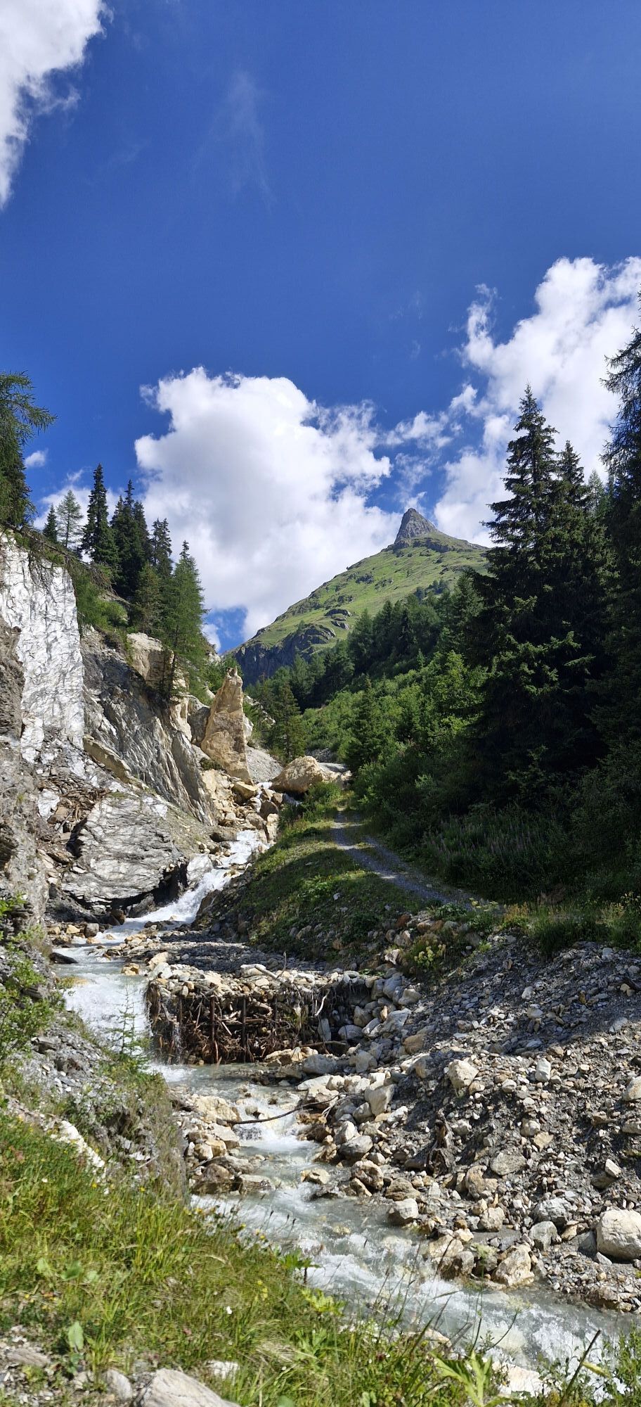


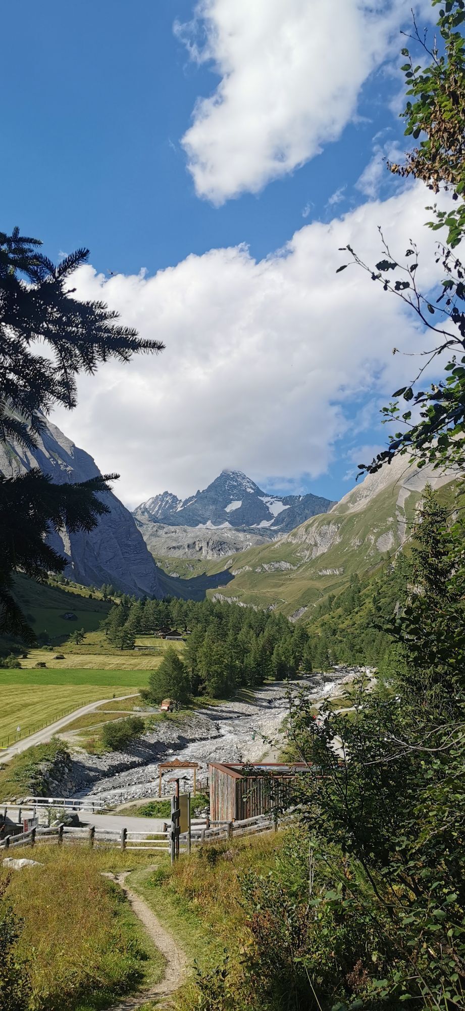
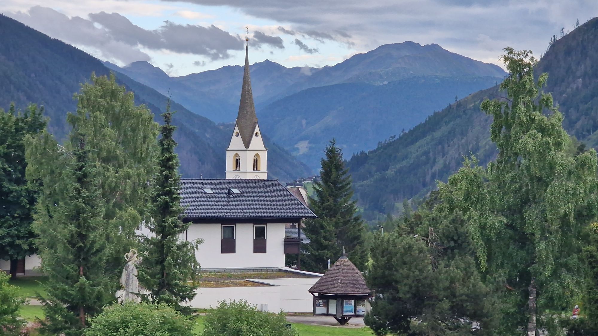
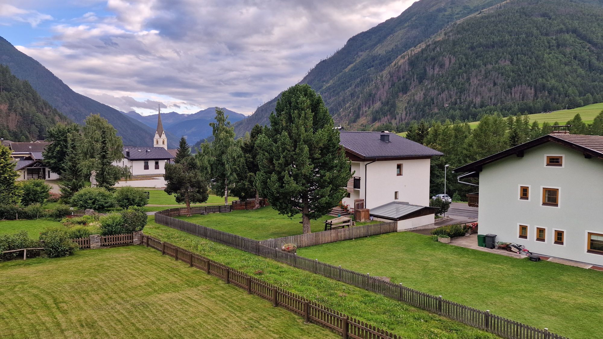
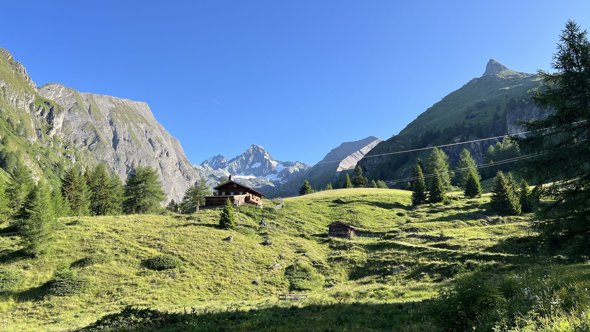

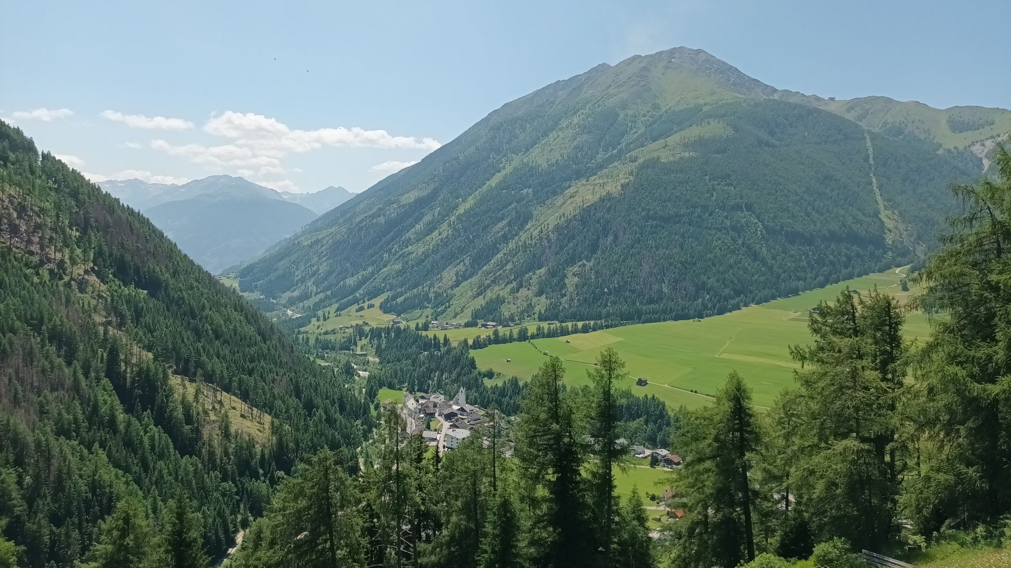
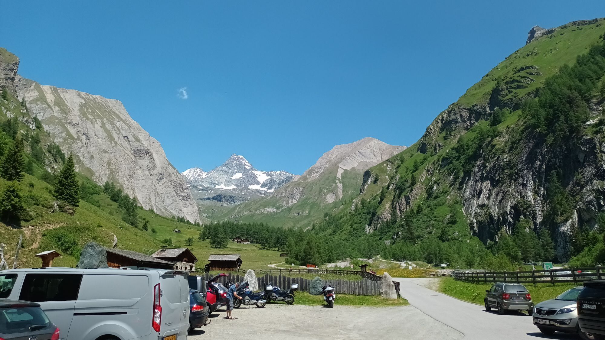
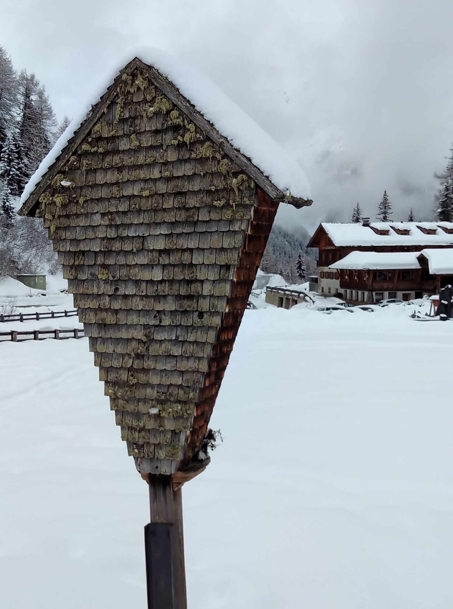
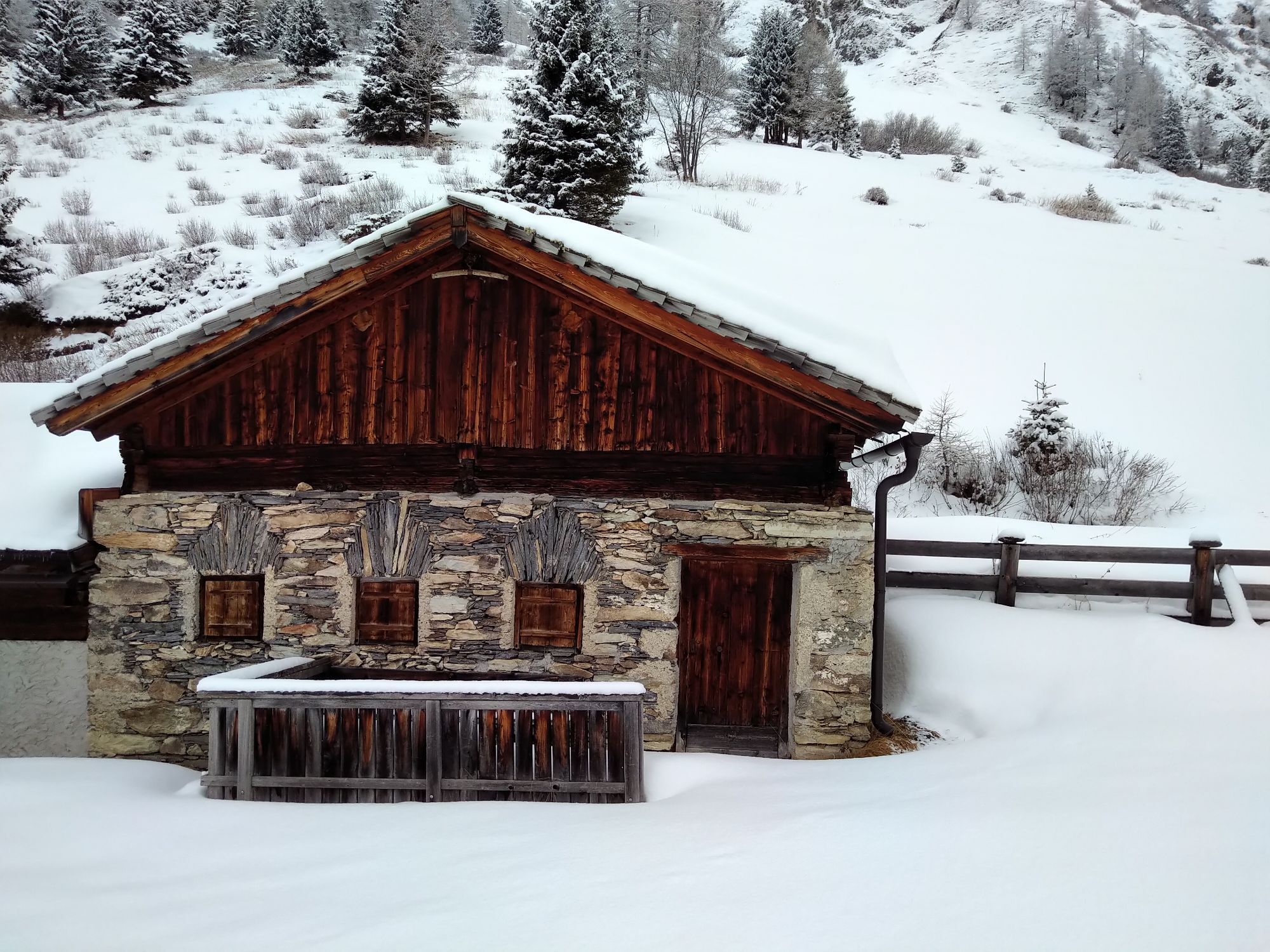
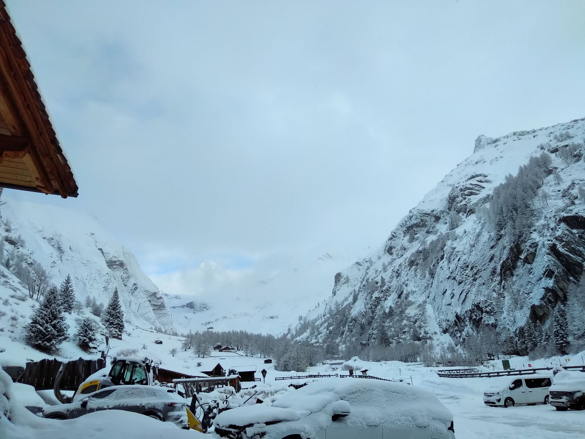

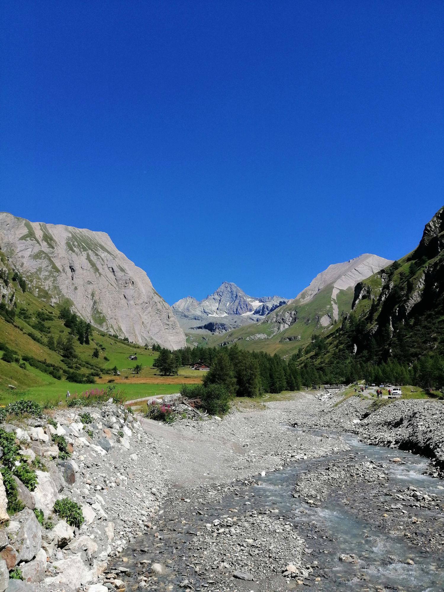
From the center of Kals, right next to the Mpreis supermarket, drive past the white Schützendenkmal monument, between the houses on the left onto a narrow asphalt road, then turn left uphill towards Glor....
Descripción de la
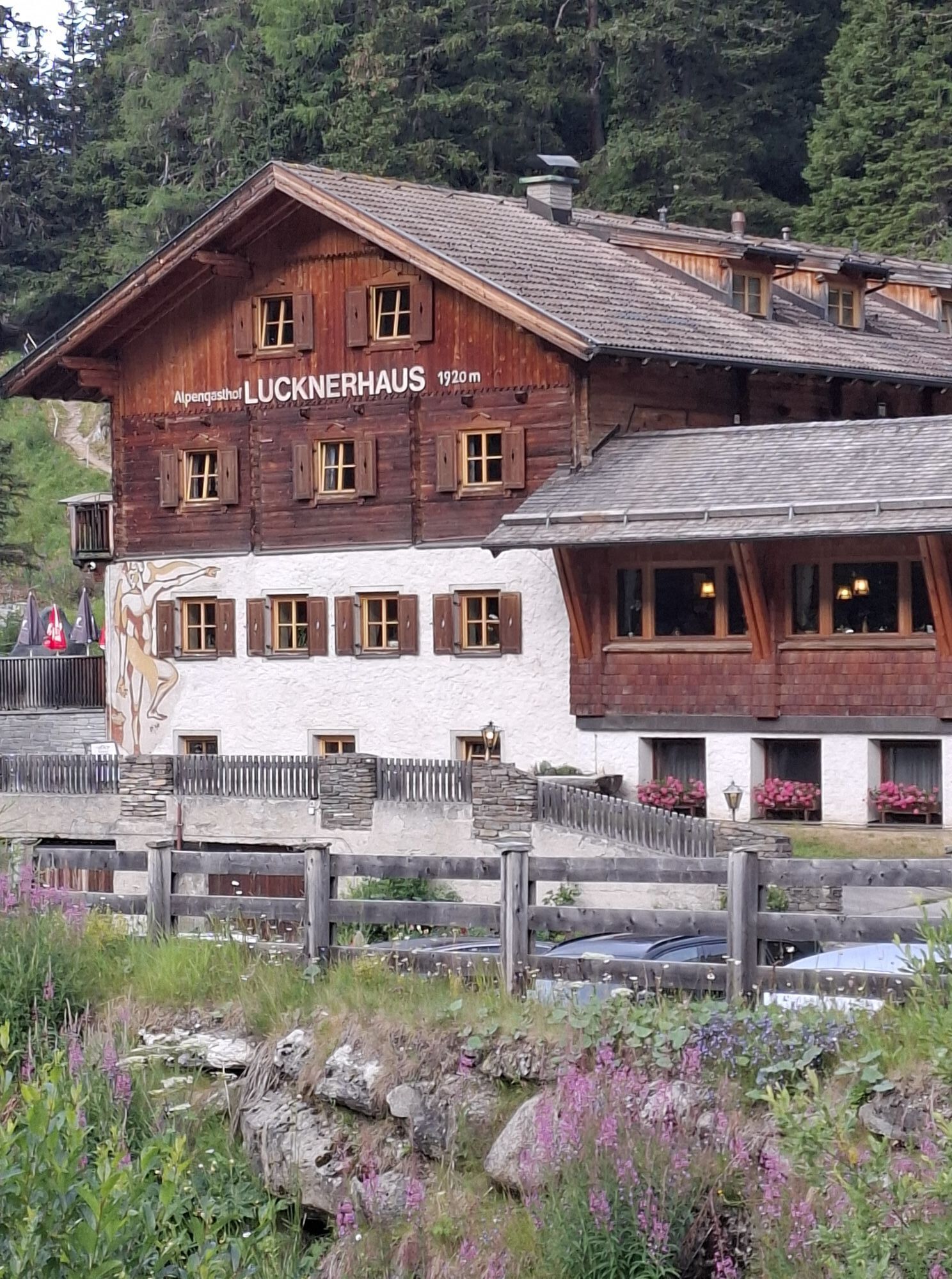
From the center of Kals, right next to the Mpreis supermarket, drive past the white Schützendenkmal monument, between the houses on the left onto a narrow asphalt road, then turn left uphill towards Glor. In Glor, after the last house on the left, the old Lucknerhausstraße (steeply ascending forest road) begins, leading to the junction with the new Kalser Glocknerstraße (asphalted). Here, turn right onto the asphalted Lucknerhausstraße, continue for about 1 km to the Glocknerwinkel car park and cross the bridge on the left to the Alpengasthof Lucknerhaus.
Ruta
Ködnitz
(1.323 m)
Liquidación
0,0 km
Kals am Großglockner
(1.340 m)
Pueblo
0,1 km
Glor
(1.437 m)
Pueblo
0,7 km
Berg
(1.717 m)
Pueblo
3,2 km
Unterburg
(1.336 m)
Liquidación
12,7 km
Ködnitz
(1.323 m)
Liquidación
13,7 km
Pfarrkirche
(1.324 m)
Lugar de culto
13,7 km
Ruta
Lucknerhaus circuit No. 117
medio
Mountainbike
13,72
km
Ködnitz
(1.323 m)
Liquidación
0,0 km
Gasthof Ködnitzhof
(1.330 m)
Restaurante
0,0 km
Kalser Eck
(1.333 m)
Restaurante
0,0 km
Kals am Großglockner
(1.340 m)
Pueblo
0,1 km
Glor
(1.437 m)
Pueblo
0,7 km
Berg
(1.717 m)
Pueblo
3,2 km
Lucknerhaus
(1.918 m)
Restaurante
5,4 km
Glor
(1.437 m)
Pueblo
11,2 km
Großdorf
(1.360 m)
Pueblo
12,6 km
Unterburg
(1.336 m)
Liquidación
12,7 km
Kals am Großglockner
(1.340 m)
Pueblo
13,5 km
Kalser Eck
(1.333 m)
Restaurante
13,6 km
Ködnitz
(1.323 m)
Liquidación
13,7 km
Pfarrkirche
(1.324 m)
Lugar de culto
13,7 km
Gasthof Ködnitzhof
(1.330 m)
Restaurante
13,7 km
Autor
Proporcionado por TVB Osttirol

Compartir gira
Lucknerhaus circuit No. 117
medio
Mountainbike
13,72
km
Error
Se ha producido un error. Por favor, inténtelo de nuevo.
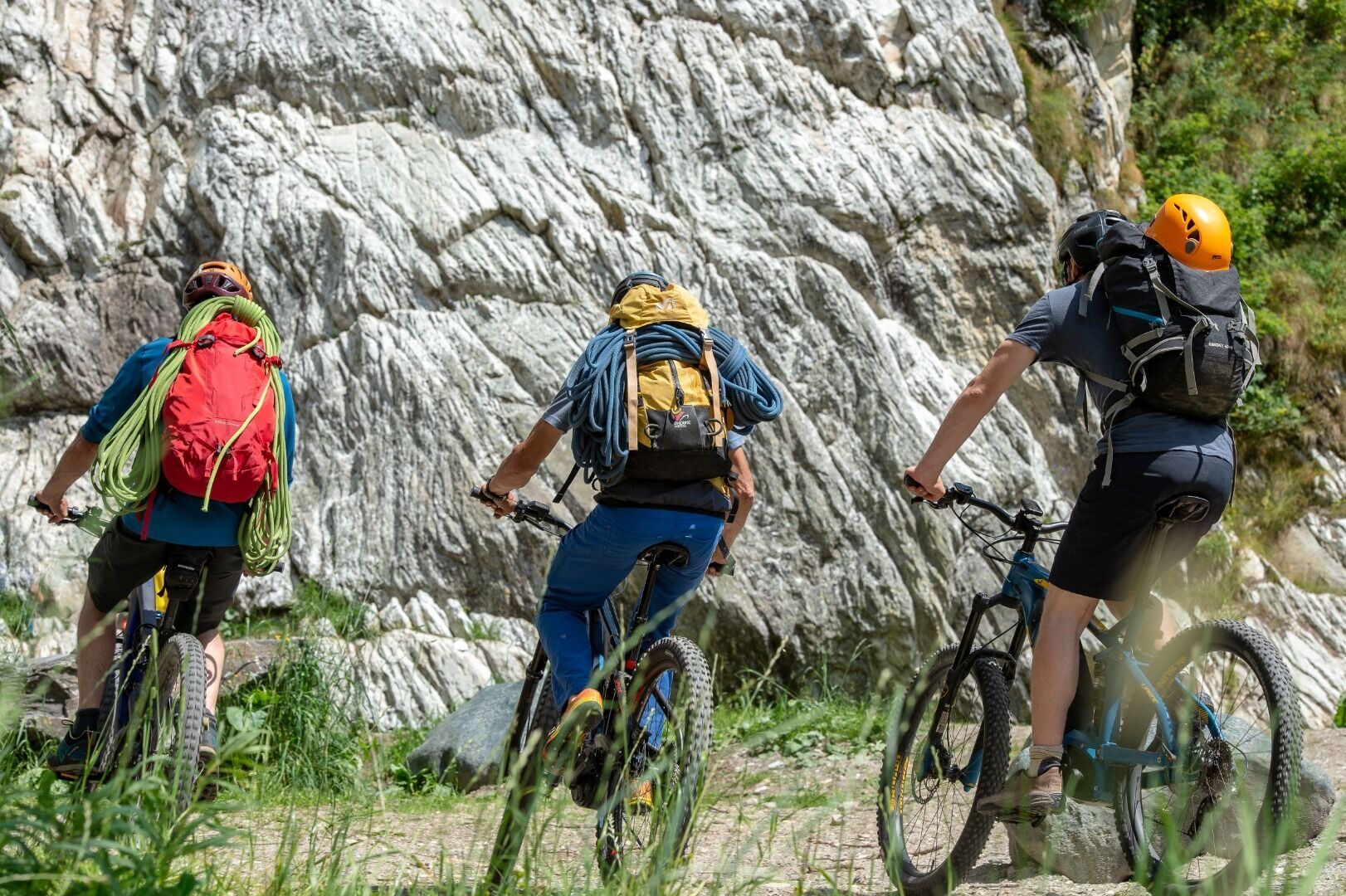

Equipamiento
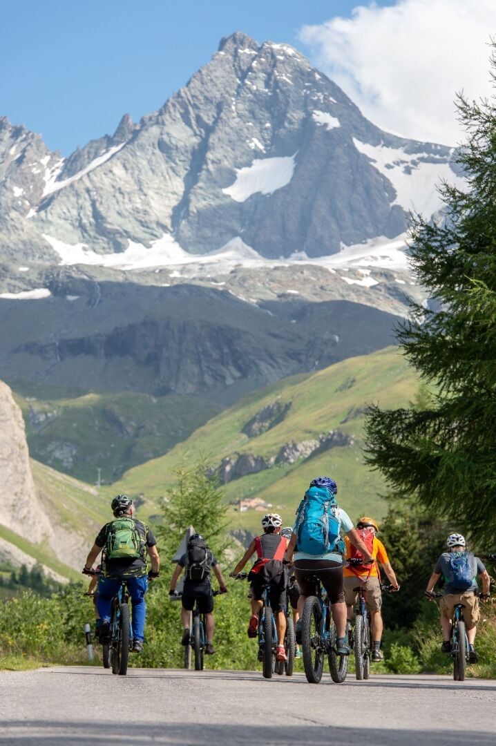
Basic cycling equipment includes a well-fitting helmet and functional clothing adapted to the weather and temperature. Essential items are rain, sun, and wind protection, a repair kit, a first-aid kit, a charged mobile phone, as well as sufficient fluids and provisions. Gloves and eyewear protect hands and eyes, whileâ¯lights improve visibility.â¯â¯A map or a GPS device assist with orientation.
This information serves as a guide and does not claim to be exhaustive. Equipment must always be adapted to the tour destination, weather conditions, season, natural hazards, environmental influences, and personal needs.
This information serves as a guide and does not claim to be exhaustive. Equipment must always be adapted to the tour destination, weather conditions, season, natural hazards, environmental influences, and personal needs.
Información de llegada
Transporte público
Kals a.G. Gemeindeamt
Aparcamiento
Parkplatz Kals Zentrum
Valoraciones

Webcams del recorrido
-
Lucknerhütte
-
Matrei Bergstation Goldried
-
Kals - Gradonna
-
Kals am Großglockner
-
Kals am Großglockner
-
Adlerlounge - Cimaross
-
Adlerlounge - Cimaross
-
Adlerlounge - Cimaross
-
Adlerlounge - Cimaross
-
Adlerlounge - Cimaross
-
Adlerlounge - Cimaross
-
Adlerlounge - Cimaross
-
Adlerlounge - Cimaross
-
Glocknerwinkel
-
Kalser Glocknerstraße - Glocknerwinkel
-
Lucknerhaus

Todas las cámaras web en un mapa
Descarga la aplicación gratis y compara las imágenes en directo de varios lugares antes de salir.
Usa ya « bergfex » en la aplicación
Escanea el código QR con tu cámara
Una vez instalada la aplicación, el contenido se abre directamente. Si aún no tienes la aplicación, podrás descargarla de forma gratuita.



Rutas populares en los alrededores
-
4,9
Wangennitzsee Hütte
medioSenderismo 3,80 km -
4,8
Summit hike Rotenkogel 2,762m
pesadoSenderismo 4,22 km -
4,8
Kaiser-Franz-Josefs-Höhe a la cabaña Oberwalder
pesadoSenderismo 5,52 km -
4,7
Geotrail Tauernfenster
luzSenderismo 5,90 km -
4,5
Circular hike Proßeggklamm
medioSenderismo 8,41 km -
4,5
Camino glaciar a la Pasterze con camino Gamsgruben (hasta túnel 6)
medioSenderismo 8,05 km -
4,9
Figerhorn 2743m, Lucknerhaus
pesadoSenderismo 6,69 km -
4,9
Glockner Alpincenter - Salmhütte - Hohenwartkees
medioSenderismo 8,64 km -
4,9
Glockner
medioExcursión de alta montaña 19 km -
4,8
Adlerlounge Europapanoramaweg
medioSenderismo 6,86 km
Senderismo y rastreo

Más de 550.000 sugerencias de excursiones, mapas detallados y un intuitivo planificador de rutas hacen de esta aplicación una herramienta imprescindible para todos los amantes de la naturaleza.

No se pierda las ofertas y la inspiración para sus próximas vacaciones
Suscribirse al boletín de noticias
Error
Se ha producido un error. Por favor, inténtelo de nuevo.
Gracias por inscribirse
Su dirección de correo electrónico se ha añadido a la lista de correo.
Viajes por Europa
Austria
Suiza
Alemania
Italia
Eslovenia
Francia
Países Bajos
Belgium
Polonia
Liechtenstein
República Checa
Slovakia
España
Croacia
Bosnia y Herzegovina
Luxemburgo
Andorra
Portugal
Iceland
United Kingdom
Ireland
Greece
Albania
North Macedonia
Malta
Norway
Montenegro
Moldova
Kosovo
Hungary
San Marino
Romania
Estonia
Latvia
Belarus
Cyprus
Lithuania
Serbia
Bulgaria
Monaco
Denmark
Sweden
Finland


