


Ötztal Trail
Fotos de nuestros usuarios
-

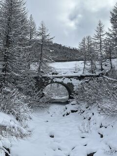
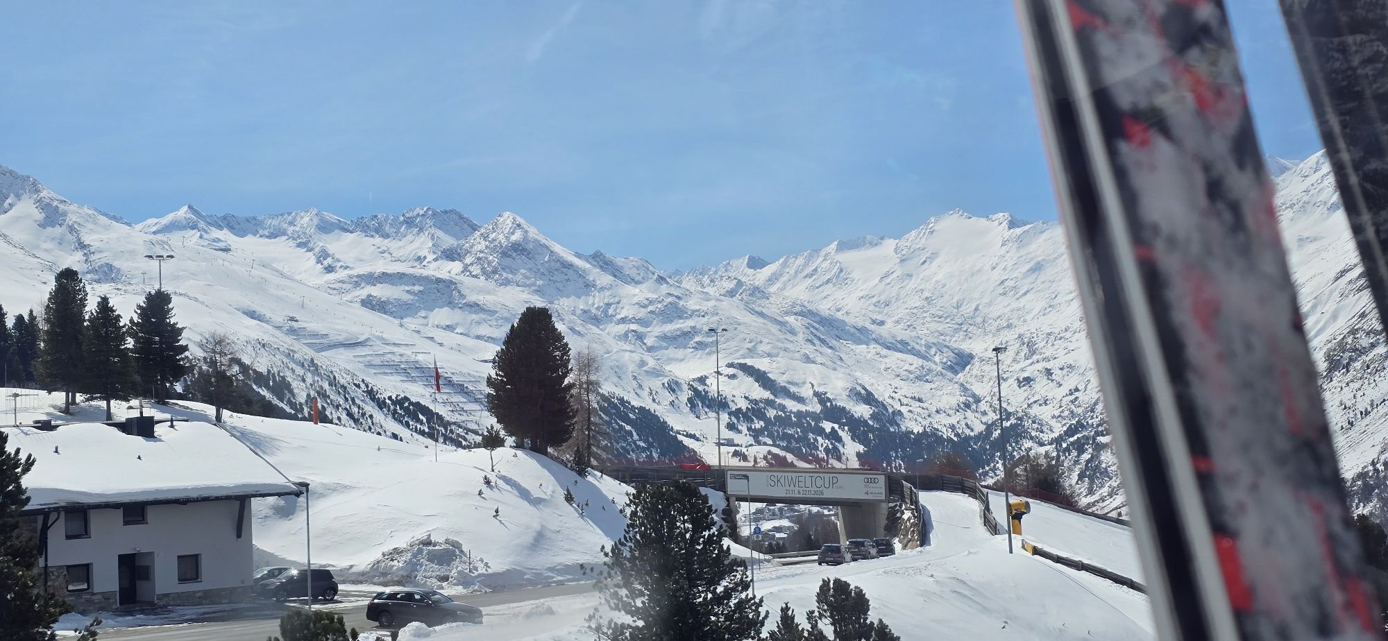
 © Oliver BauschCreado el 05.02.2024
 -
 © Oliver BauschCreado el 05.02.2024
 -

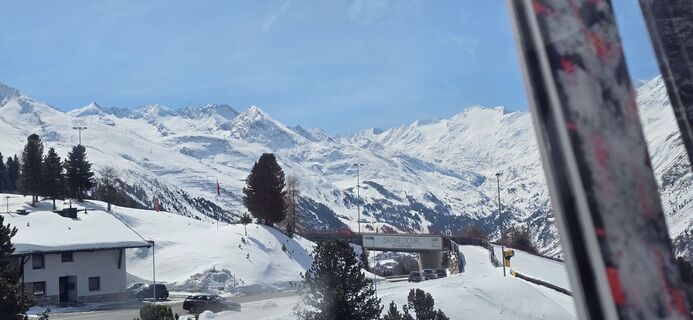
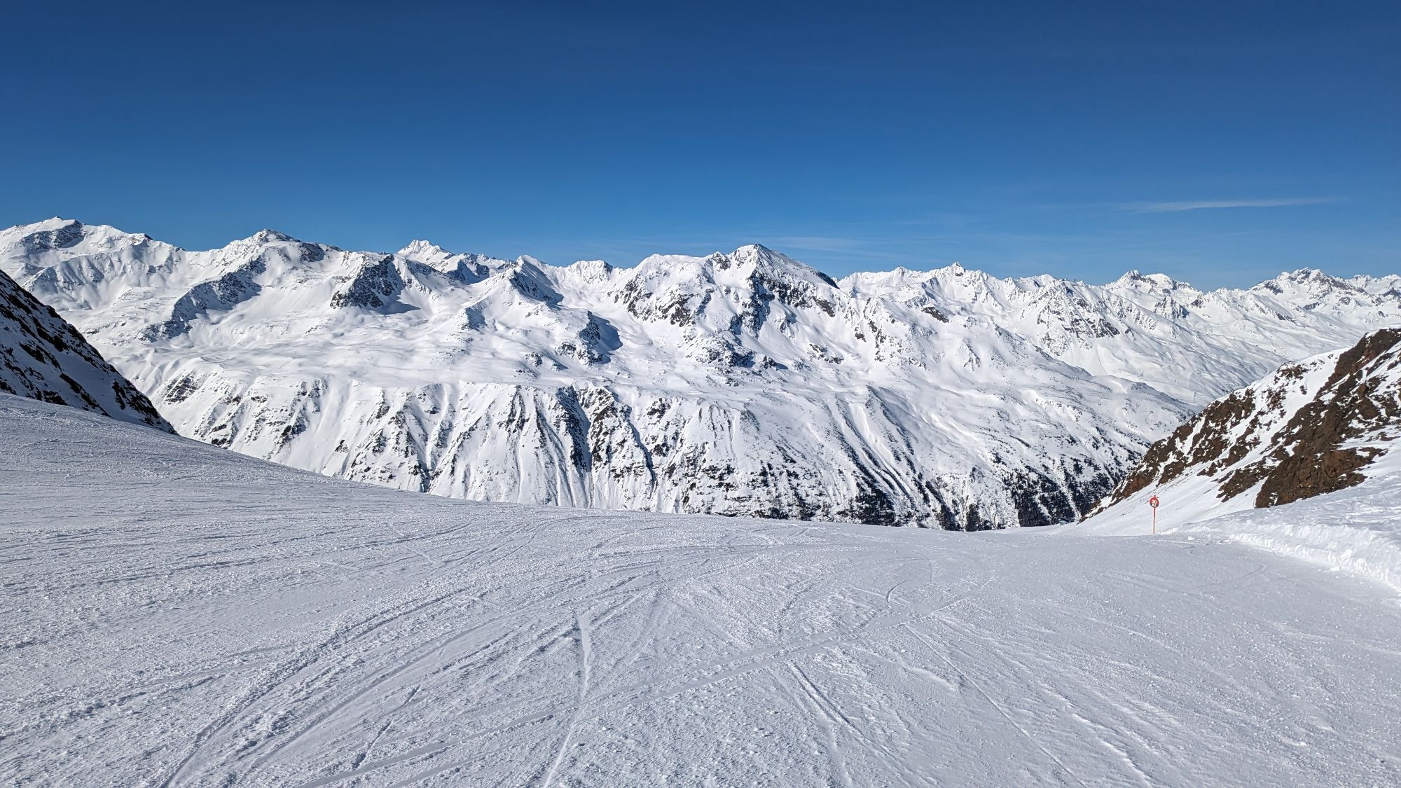
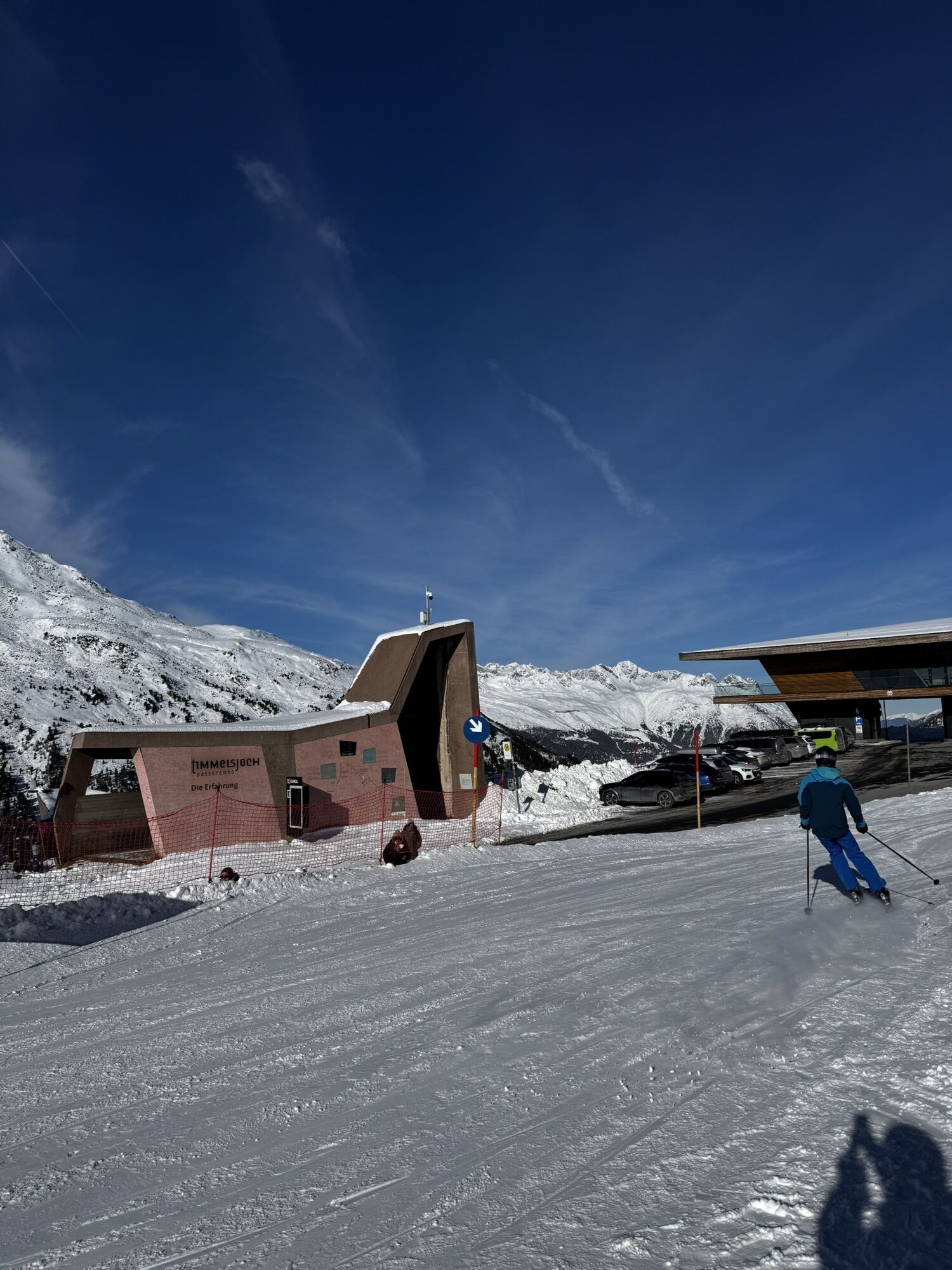
 © Werner FögerCreado el 10.06.2025
 -
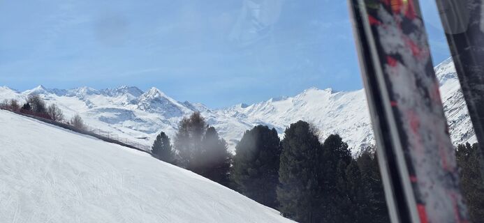
 © Werner FögerCreado el 10.06.2025
 -
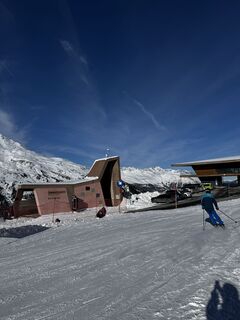
 © Werner FögerCreado el 10.06.2025
 -
 © Werner FögerCreado el 10.06.2025
 -
 © Werner FögerCreado el 10.06.2025
 -
 © Werner FögerCreado el 10.06.2025
 -
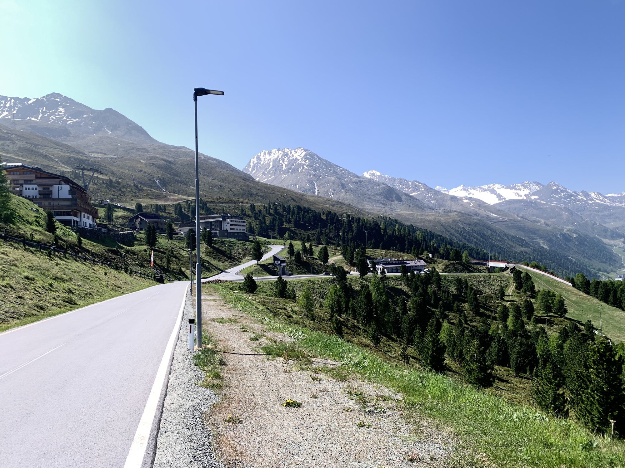
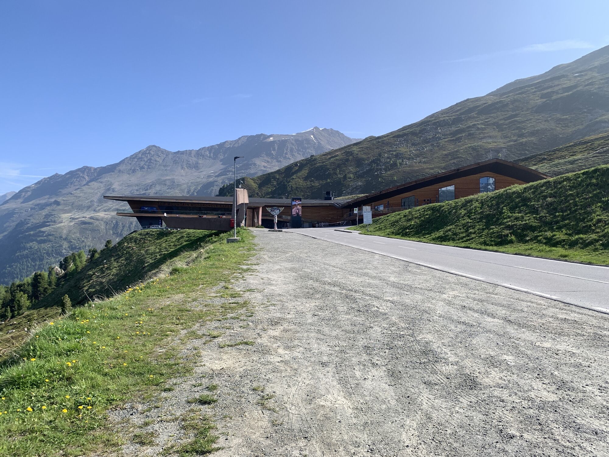
 © ADV.tirolCreado el 21.07.2024
 -
 © ADV.tirolCreado el 21.07.2024
 -
 © ADV.tirolCreado el 21.07.2024
 -
 © ADV.tirolCreado el 21.07.2024
 -
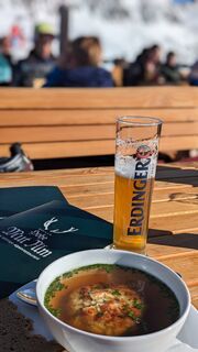 © Oliver BauschCreado el 05.02.2024
 -
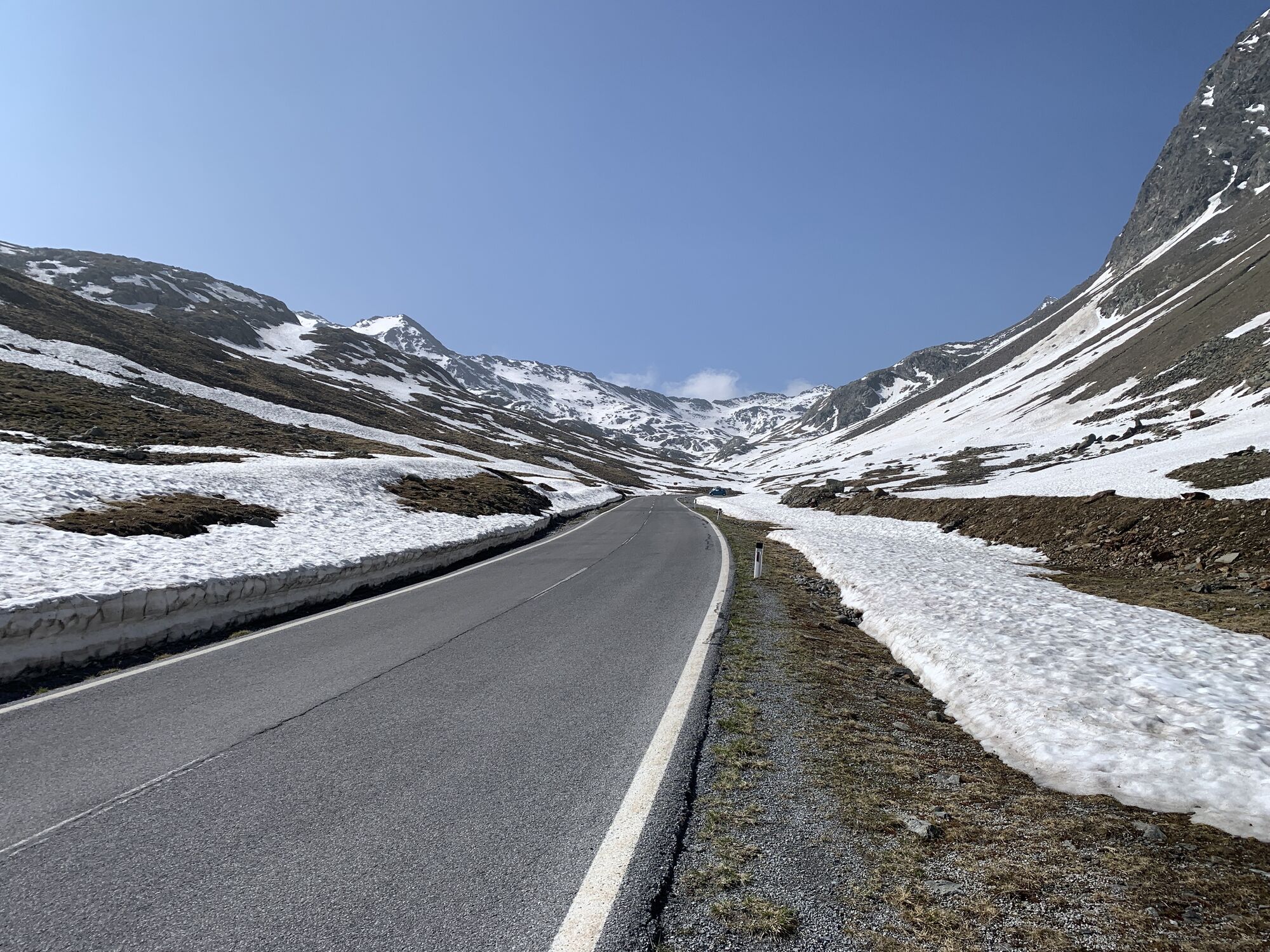
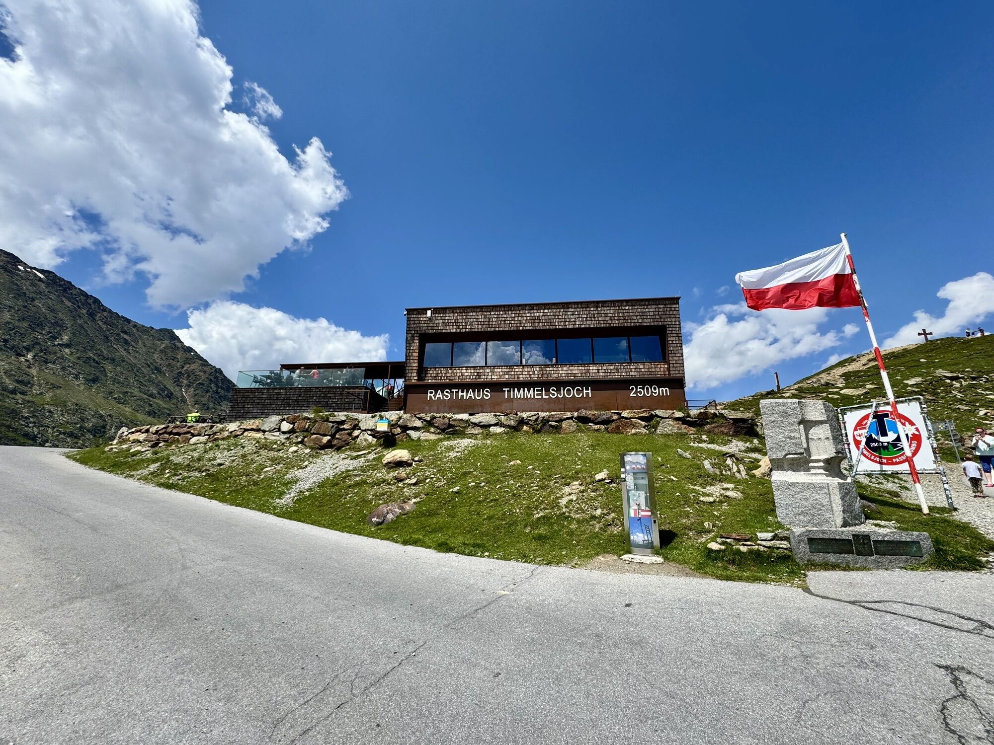
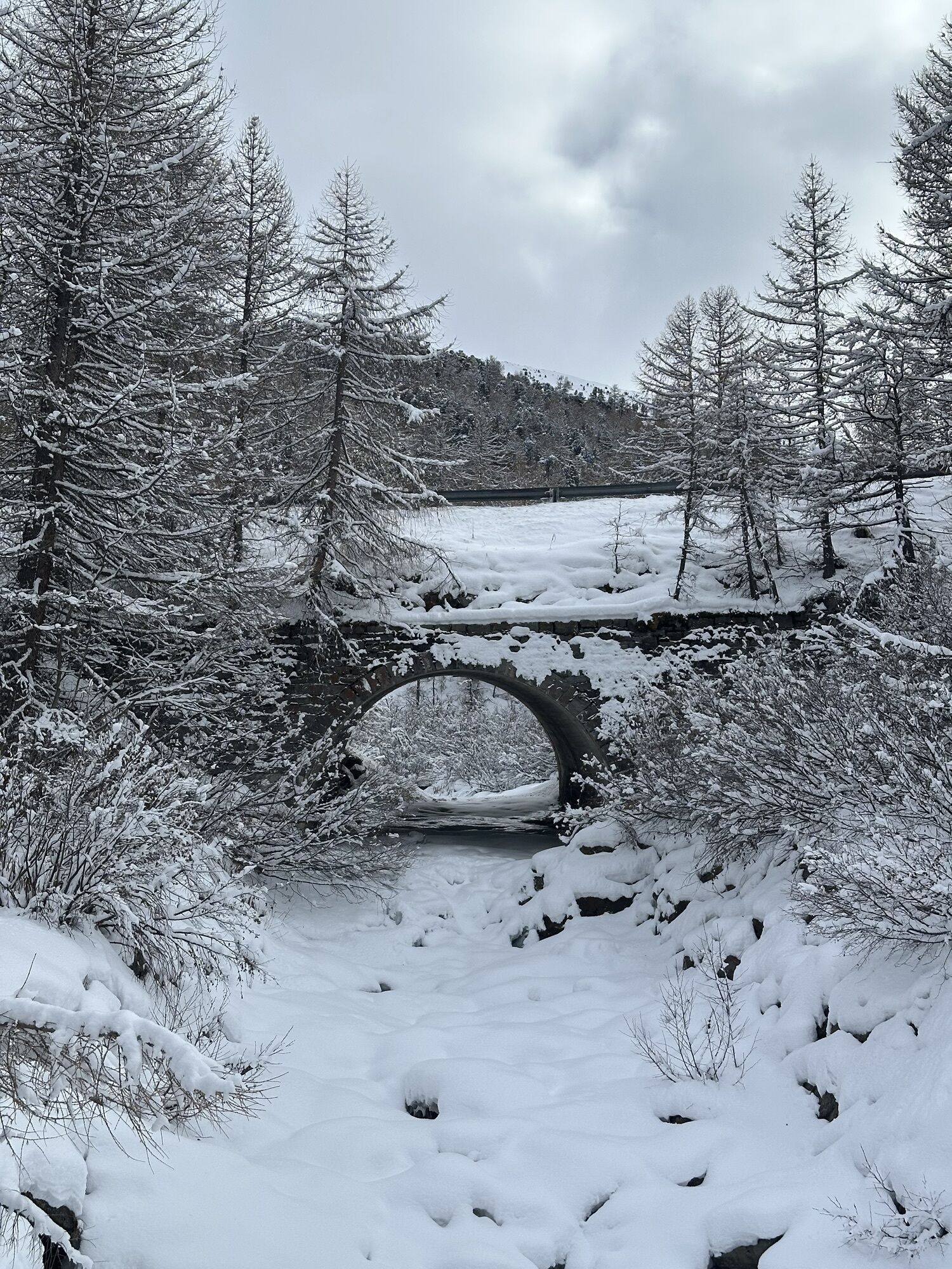
 © CharlemagneCreado el 28.03.2026
 -
 © CharlemagneCreado el 28.03.2026
 -
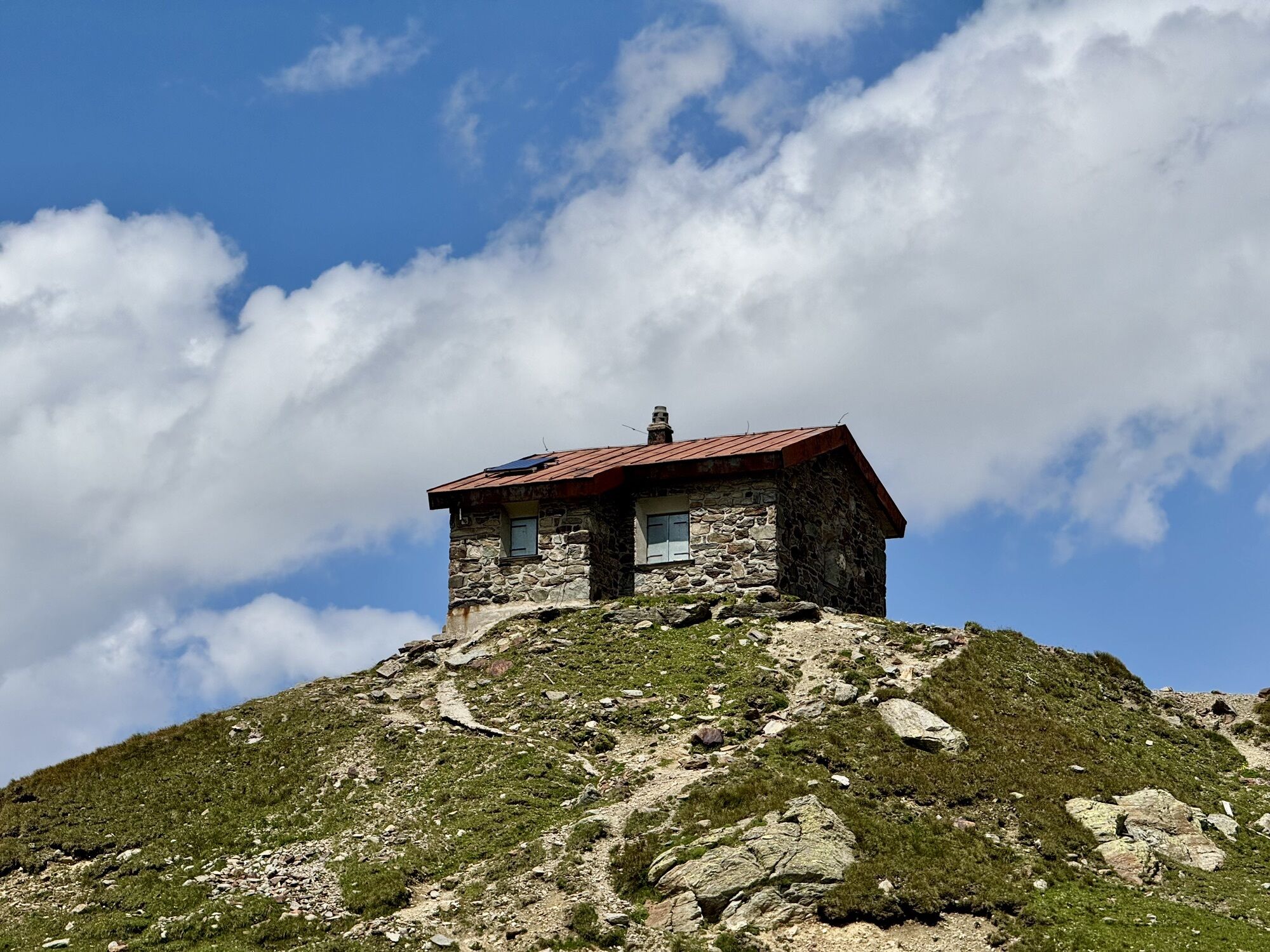
 © Tim SchefflerCreado el 27.01.2026
 -
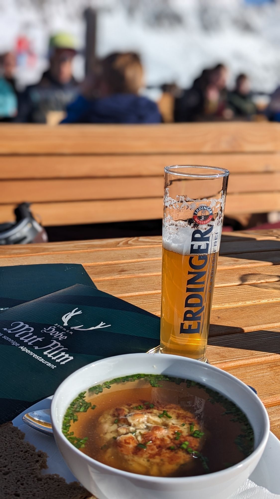
 © Petra ZieriacksCreado el 26.01.2026


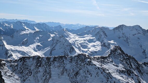
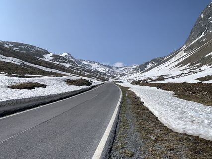
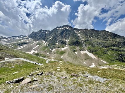
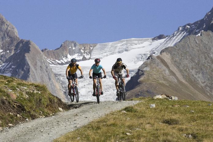
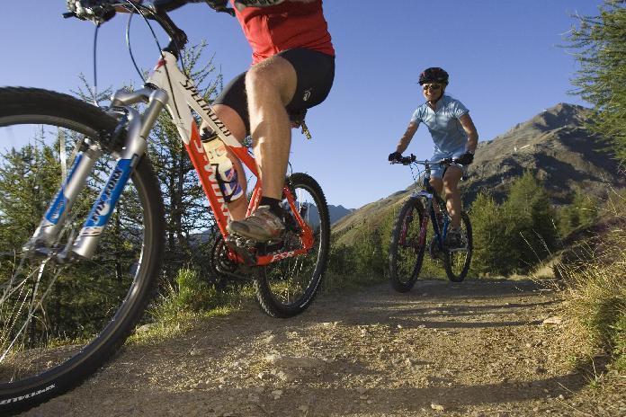
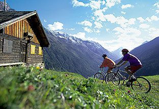
An outstandingly demanding and sometimes very exhausting mountain bike trail but really unique when it comes to panoramic views and nature treasures. To cut a long story short: you should plan on two days...
An outstandingly demanding and sometimes very exhausting mountain bike trail but really unique when it comes to panoramic views and nature treasures. To cut a long story short: you should plan on two days for conquering the Ötztal Mountain Bike Trail, the most scenic route in the valley! The trail starts in Haiming (690 m) and takes avid mountain bikers up to splendid Langtalereck Hütte at 2450 m. Crossing several different climatic areas, you start in the mild and sunny Inntal valley before you finally reach the eternal ice of the glaciers. Along the route you find countless refreshment stops. The first day's stage ends at quaint Langtalereckhütte (Karlsruher Hütte) where you stay overnight.
lots of Restaurants in the valley
free Bike Map available in all Tourist Offices in the Ötztal valley
Sí
Sí
Sí
Sí
During the summertime there are busses with Bike-trailers. BIkers can use this busses in both directions.
3/6
3/6
Webcams del recorrido
-
Obergurgl
-
Hochgurgl
-
Obergurgl
-
Gaisberg
-
Top Mountain Crosspoint Hochgurgl
-
Top Mountain Crosspoint Hochgurgl
-
Top Mountain Crosspoint Hochgurgl
-
Top Mountain Crosspoint Hochgurgl
-
Top Mountain Crosspoint Hochgurgl
-
Obergurgl
-
Obergurgl
-
Obergurgl
-
Obergurgl
-
Obergurgl
-
Obergurgl
-
Obergurgl
-
Top Mountain Crosspoint Hochgurgl
Rutas populares en los alrededores
-
4,7
Wilde Wasser Weg - Fortgeschritten
medioSenderismo 12,0 km -
4,6
Passerschlucht
luzSenderismo 8,84 km -
4,4
Hochtour Wildspitze, 3.768m
medioExcursión de alta montaña 9,75 km -
4,4
Passerschlucht mit Stieber Wasserfällen, Trentino-Südtirol/Italien
medioSenderismo 9,49 km -
3,1
Sendero de gran altitud de Tiefenbach - Pueblo montañero de Vent
medioSenderismo 10,8 km -
4,5
Vent - Wilder Mann - Cabaña Breslauer - Stableinalm
medioSenderismo 7,25 km -
4,4
Hochwilde - Pfelders
medioExcursión de alta montaña 22,1 km -
5,0
Dresdner hütte - sulzenauerhütte
medioSenderismo 12,1 km -
5,0
Obergurgl - Ramolhaus
Senderismo 7 km -
4,0
E5 - 4. Etappe: Zams - Braunschweiger Hütte
medioSendero de largo recorrido 5 km
Senderismo y rastreo


No se pierda las ofertas y la inspiración para sus próximas vacaciones
Su dirección de correo electrónico se ha añadido a la lista de correo.