Navegue por
Consigue este tour en tu móvil
Mapa
Motorcycle tour Staller Sattel und Pustertaler Höhenstraße
luz
Motocicleta
152,29 km
Escanee el código QR e inicie la navegación en la aplicación bergfex
QR Code
Senderismo y rastreo

Motorcycle tour Staller Sattel und Pustertaler Höhenstraße
Distancia
152,3 km
Duración
07:36 h
Ascenso
2.398 m
Nivel del mar
675 - 2.049 m
Descarga de pistas
Mapa
Motorcycle tour Staller Sattel und Pustertaler Höhenstraße
luz
Motocicleta
152,29 km

Fotos de nuestros usuarios

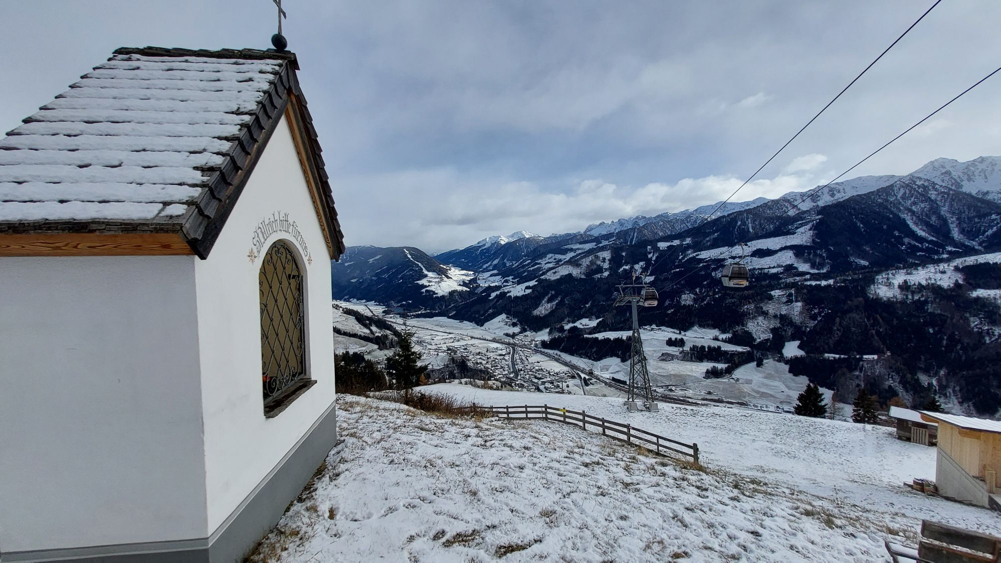
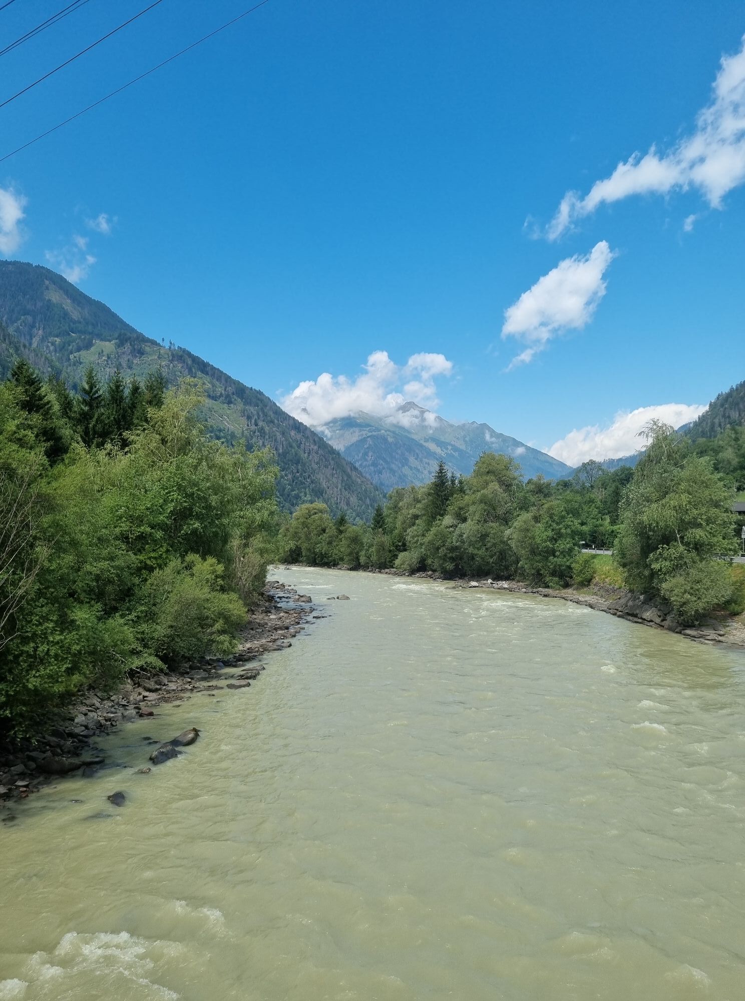
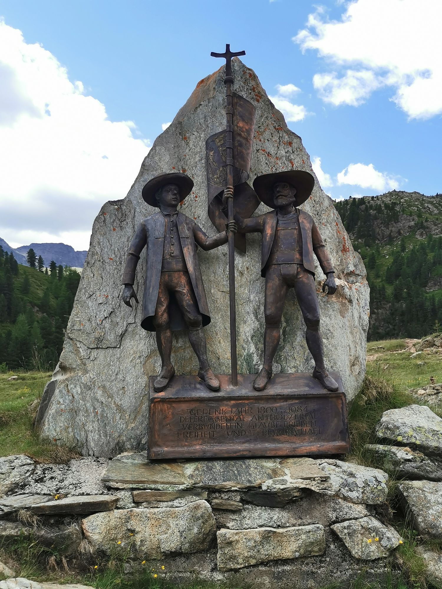
We start via Lienz, along the Felbertauernstraße B108 to Huben, and then turn left into Defereggental. The road width is just under two lanes in narrow passages. St. Jakob is passed and the fascinating...

Descripción de la

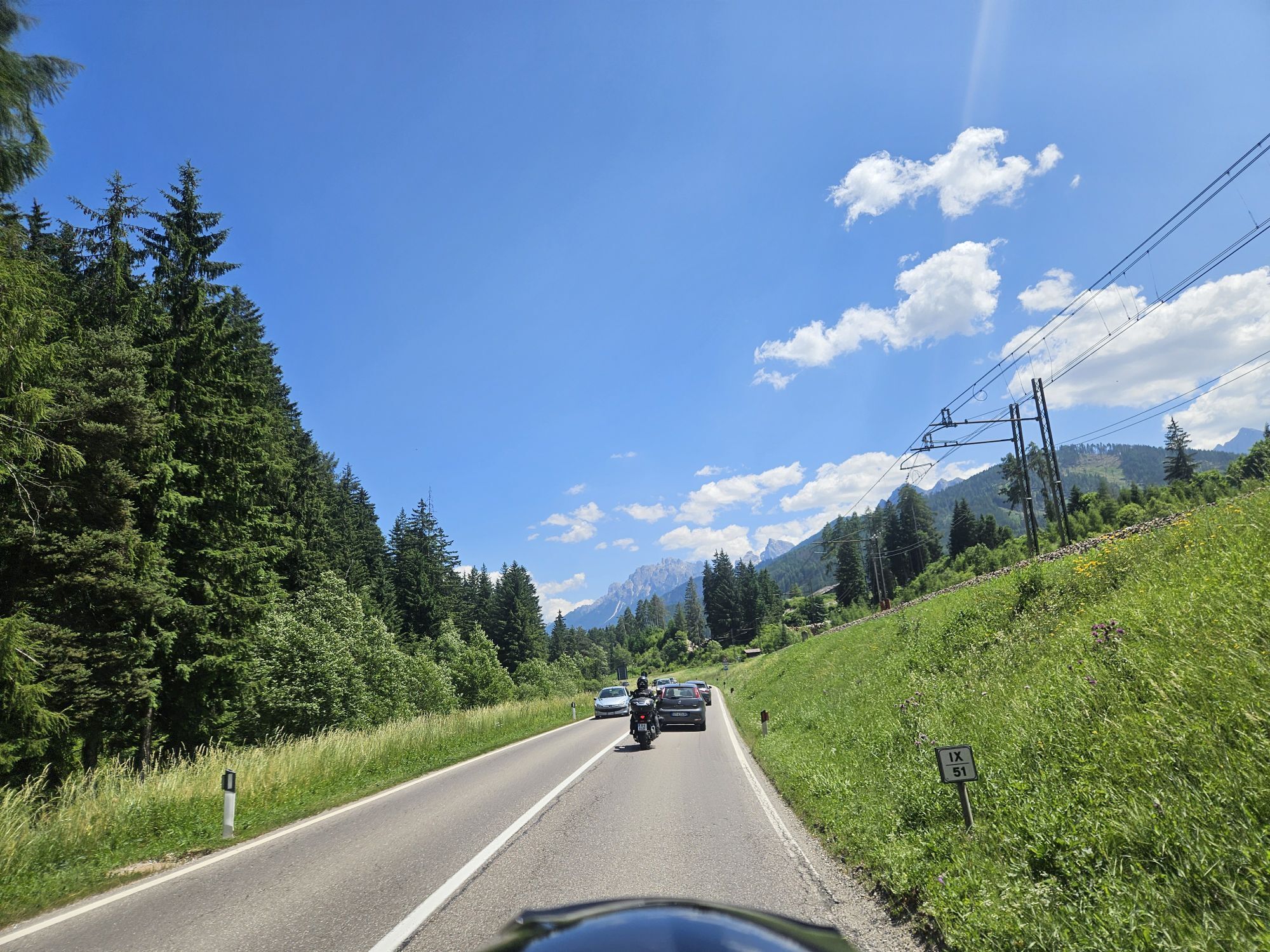
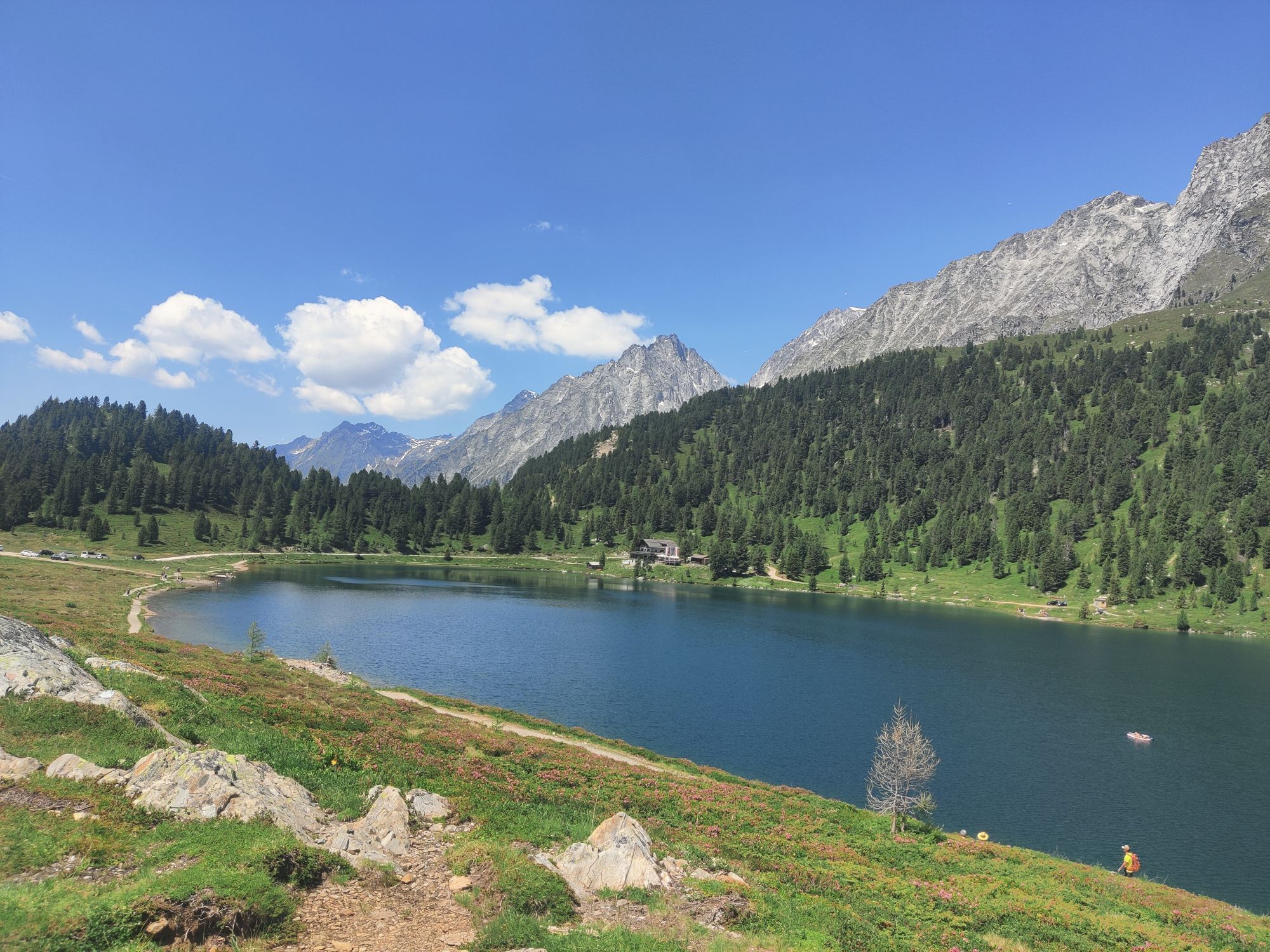
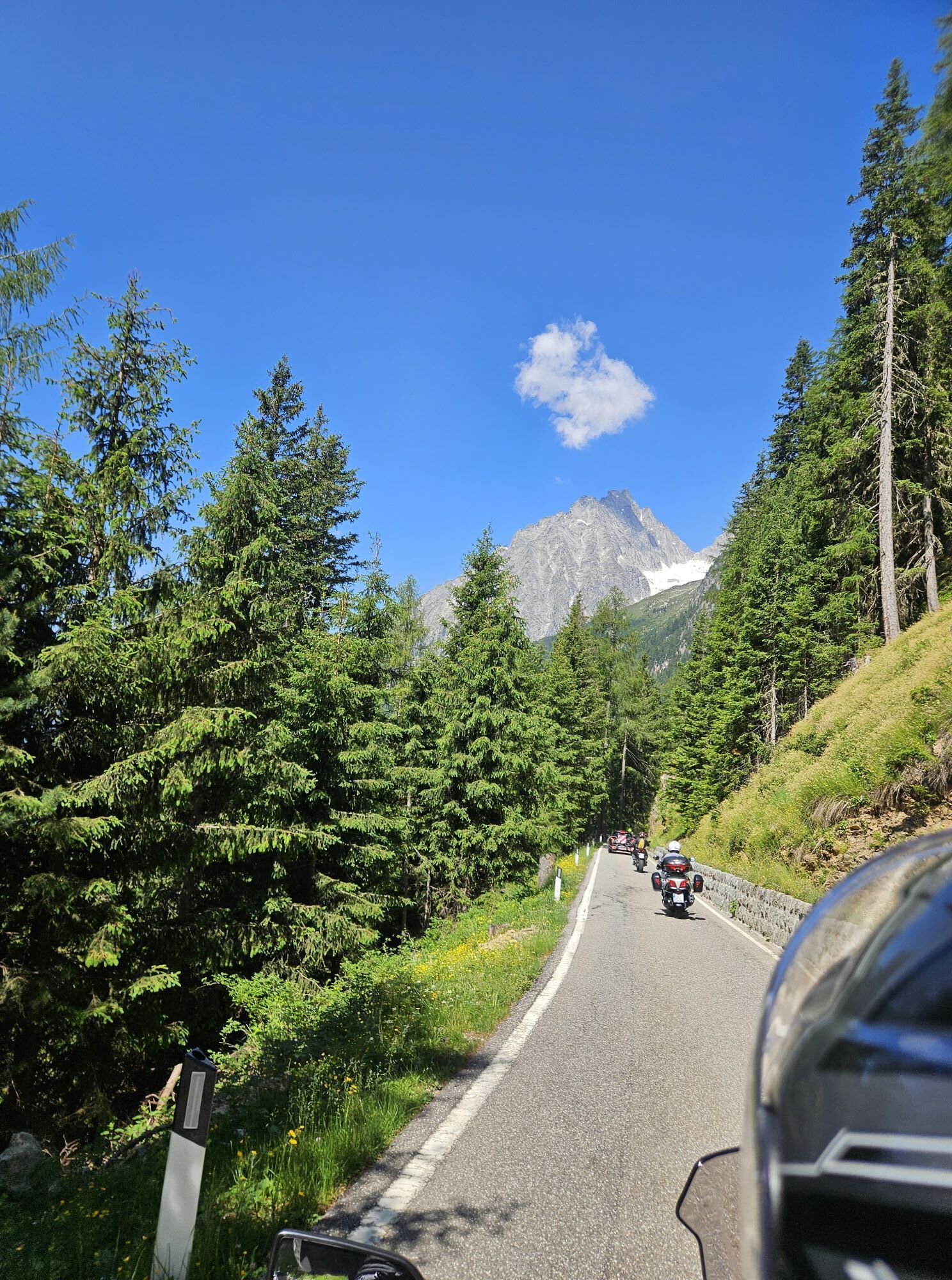
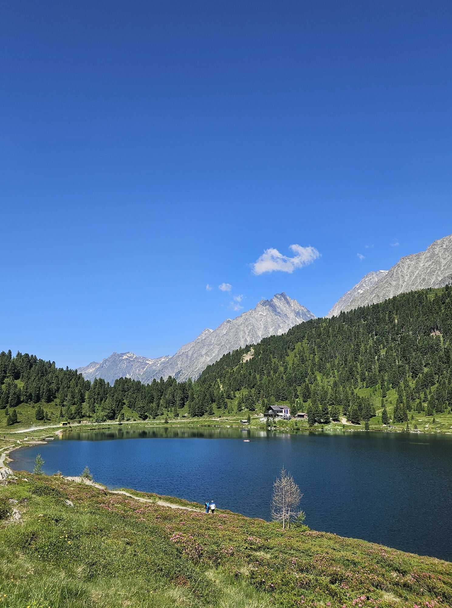
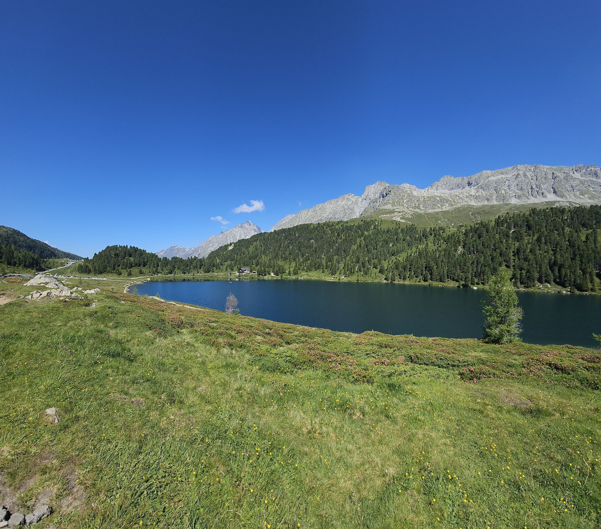
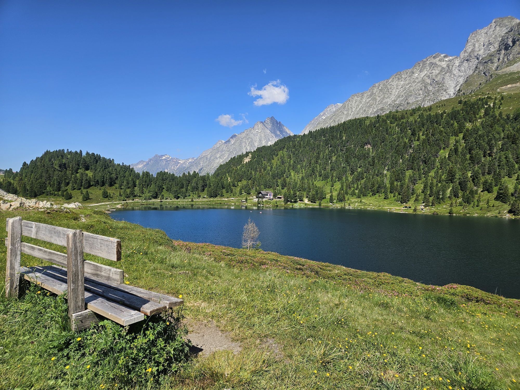
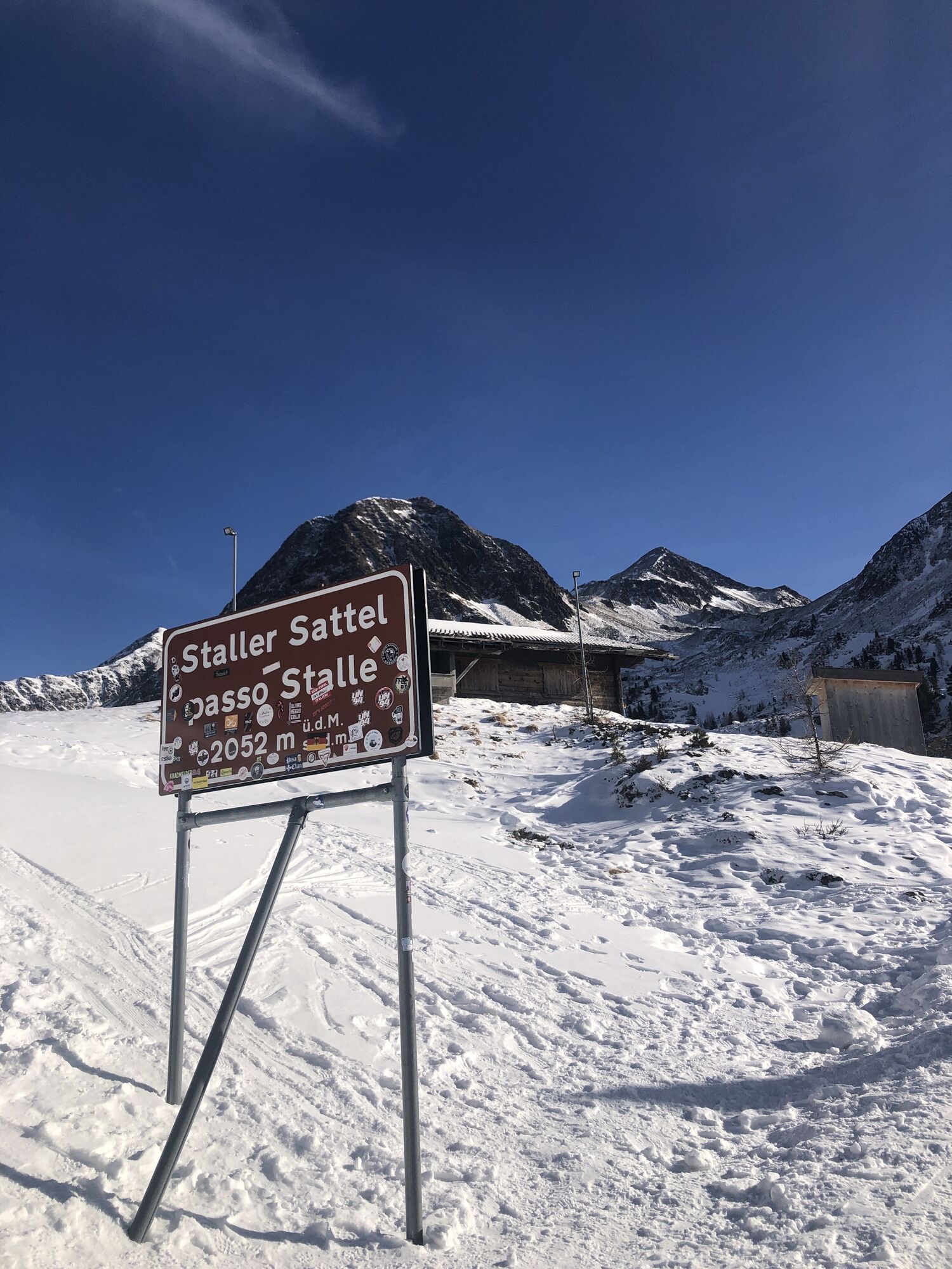
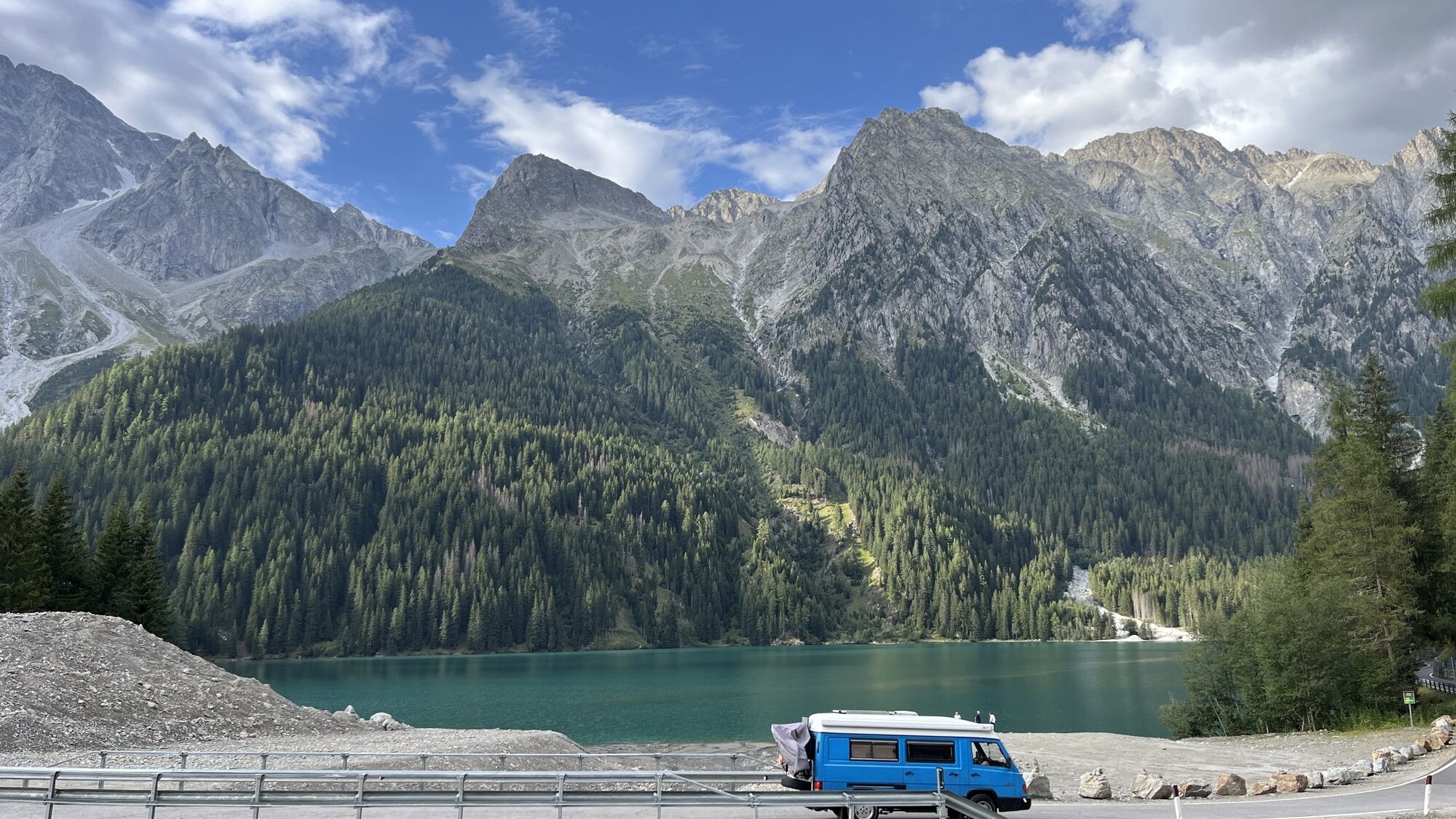
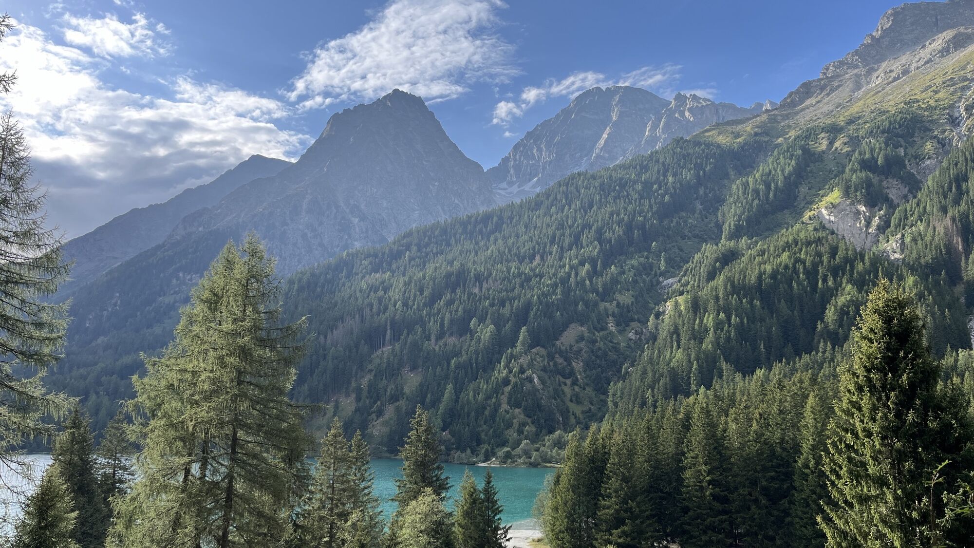
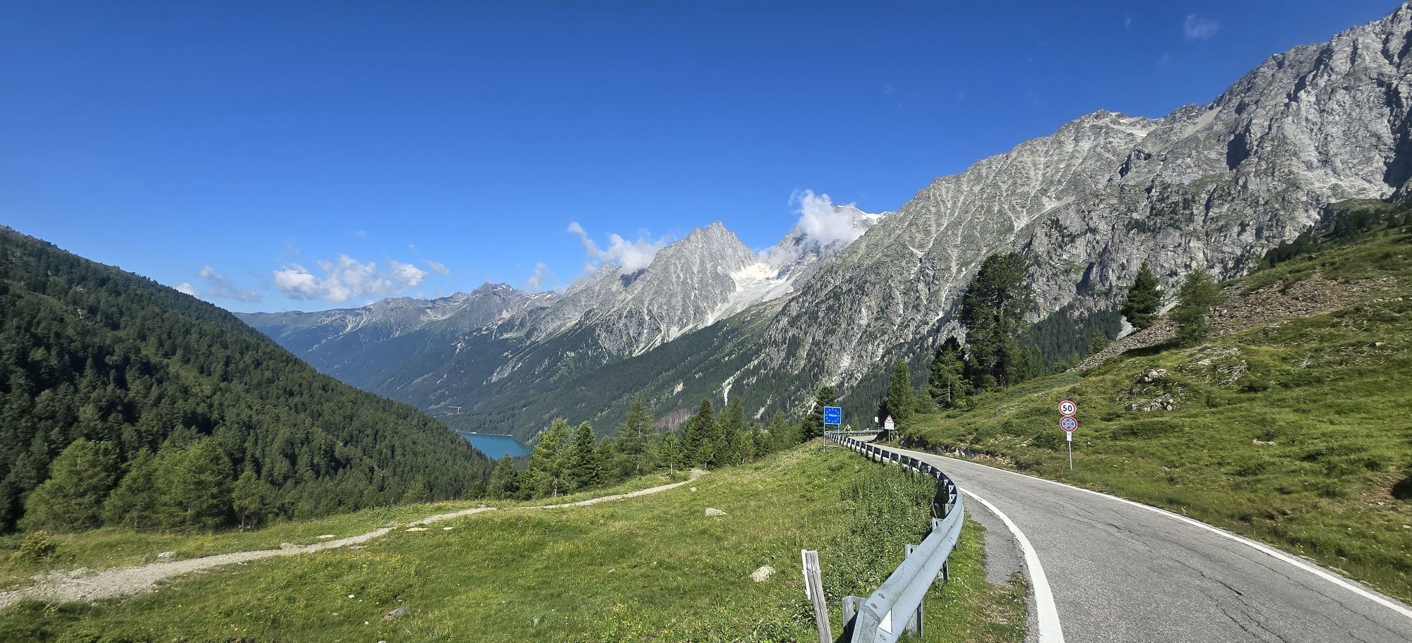
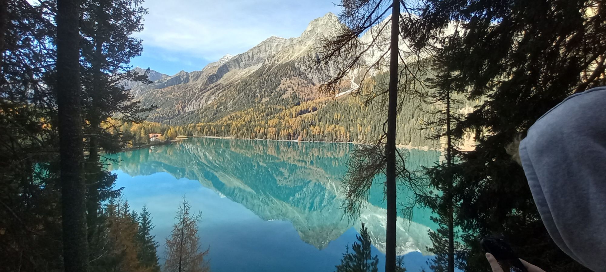
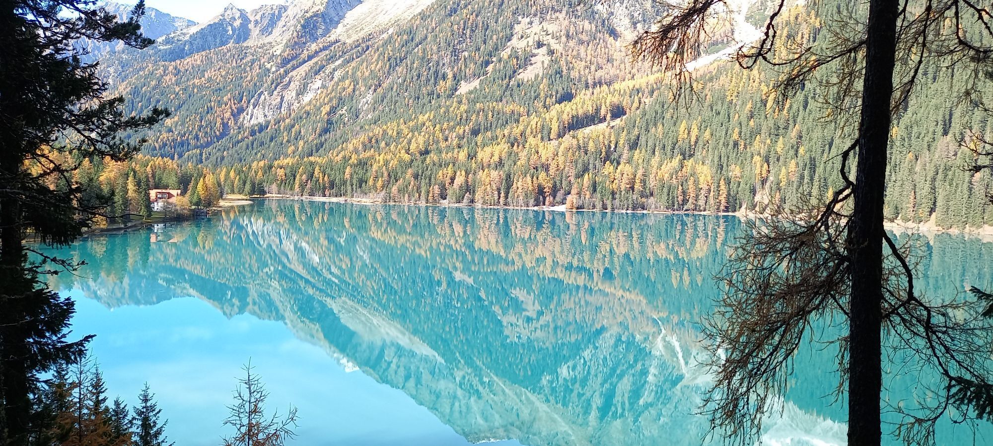
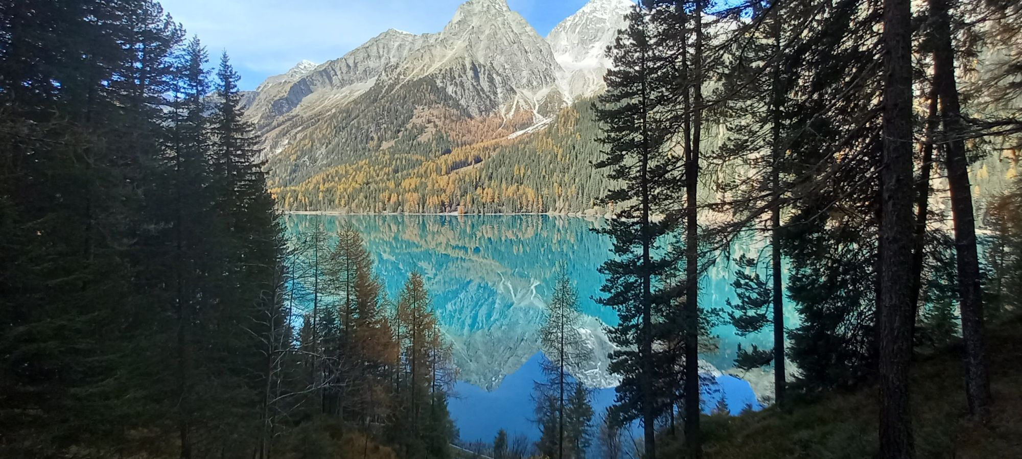
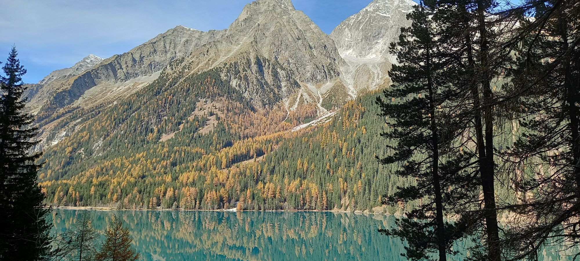
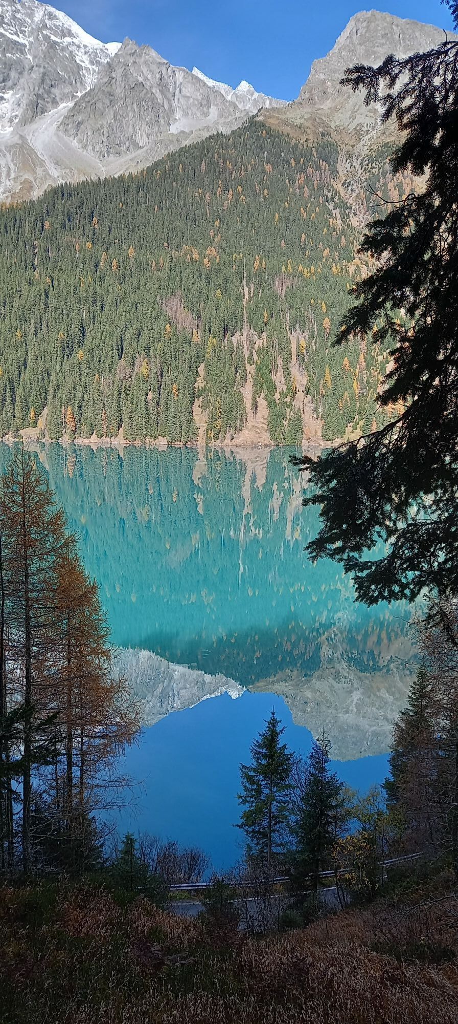
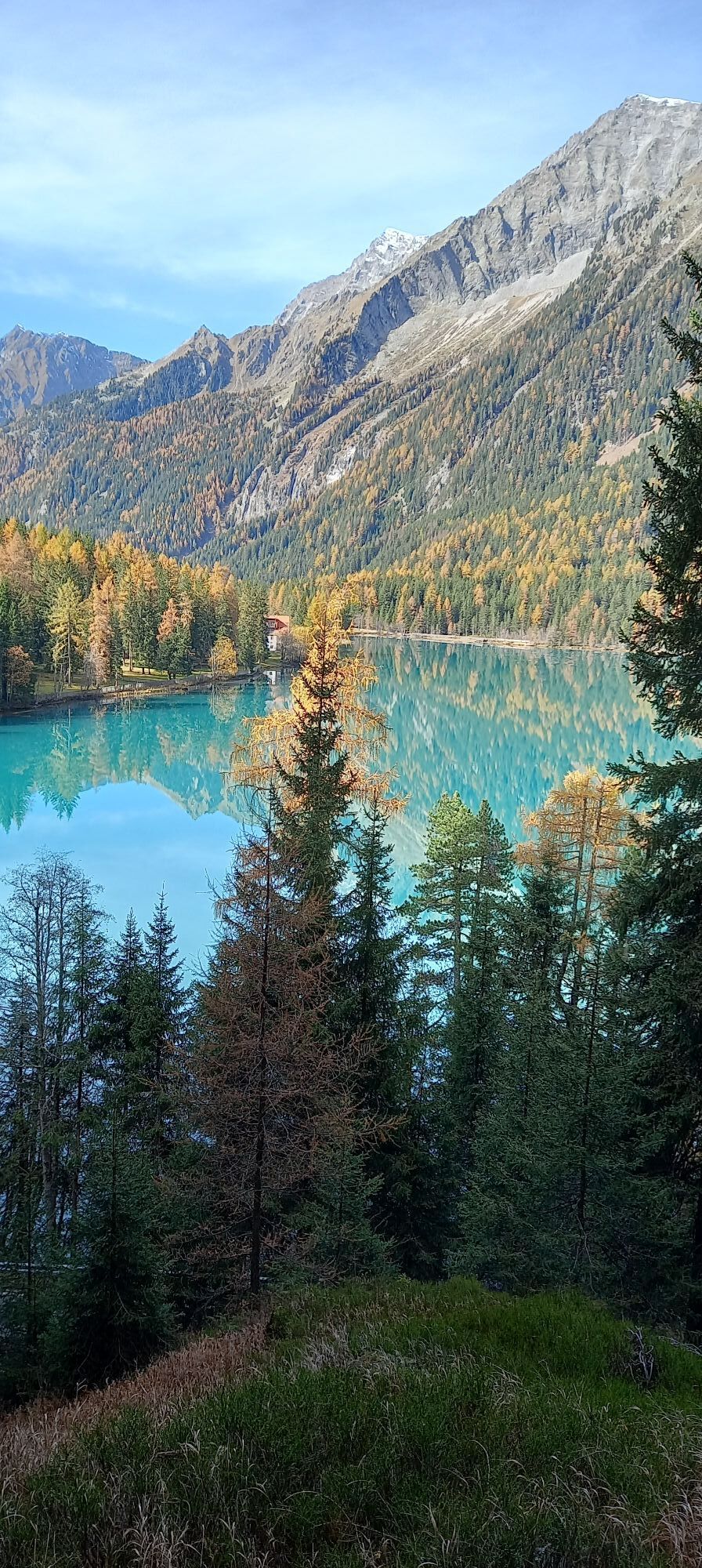
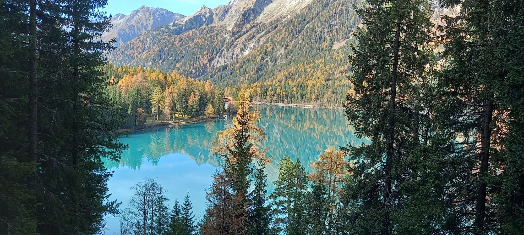
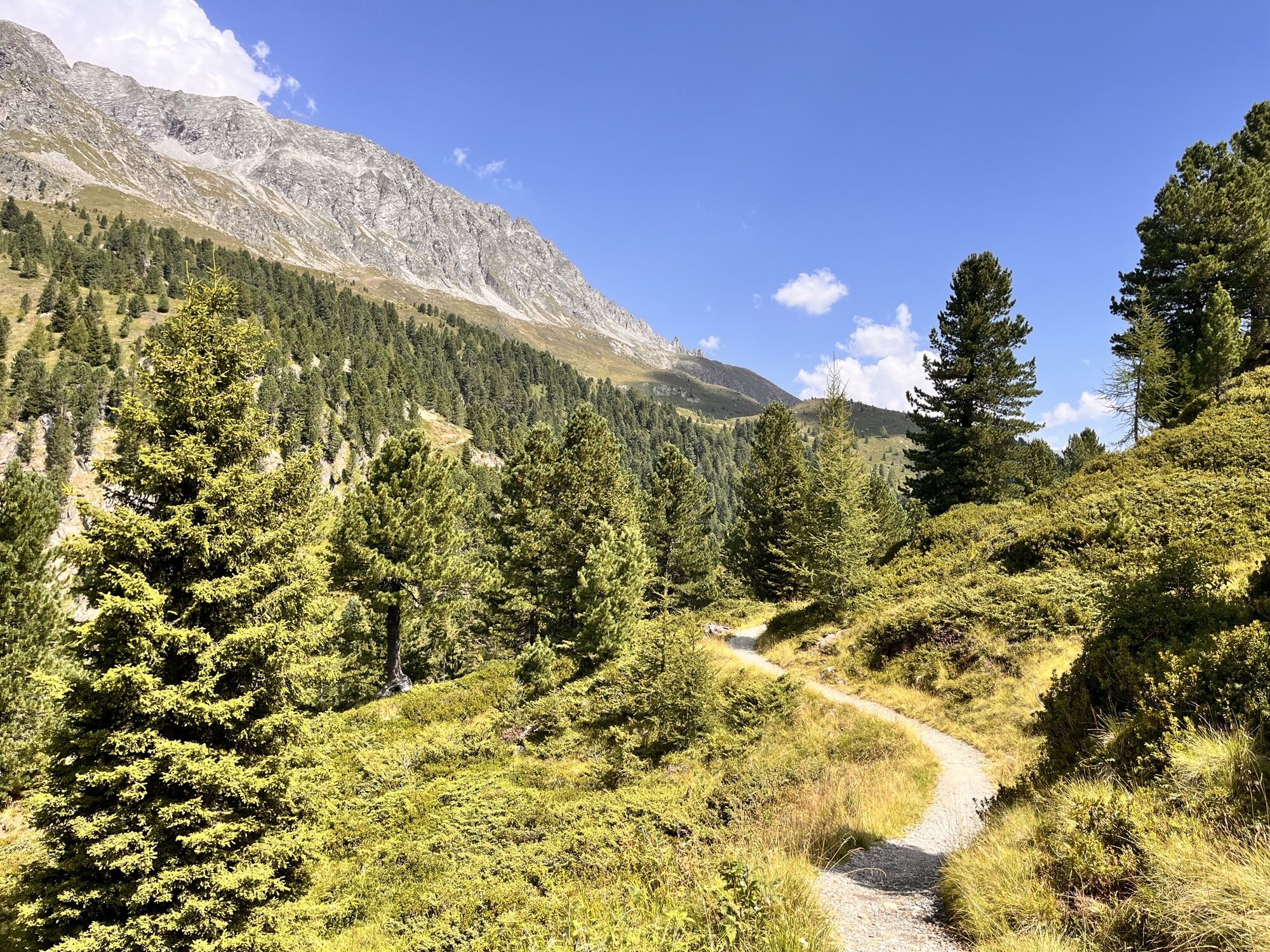
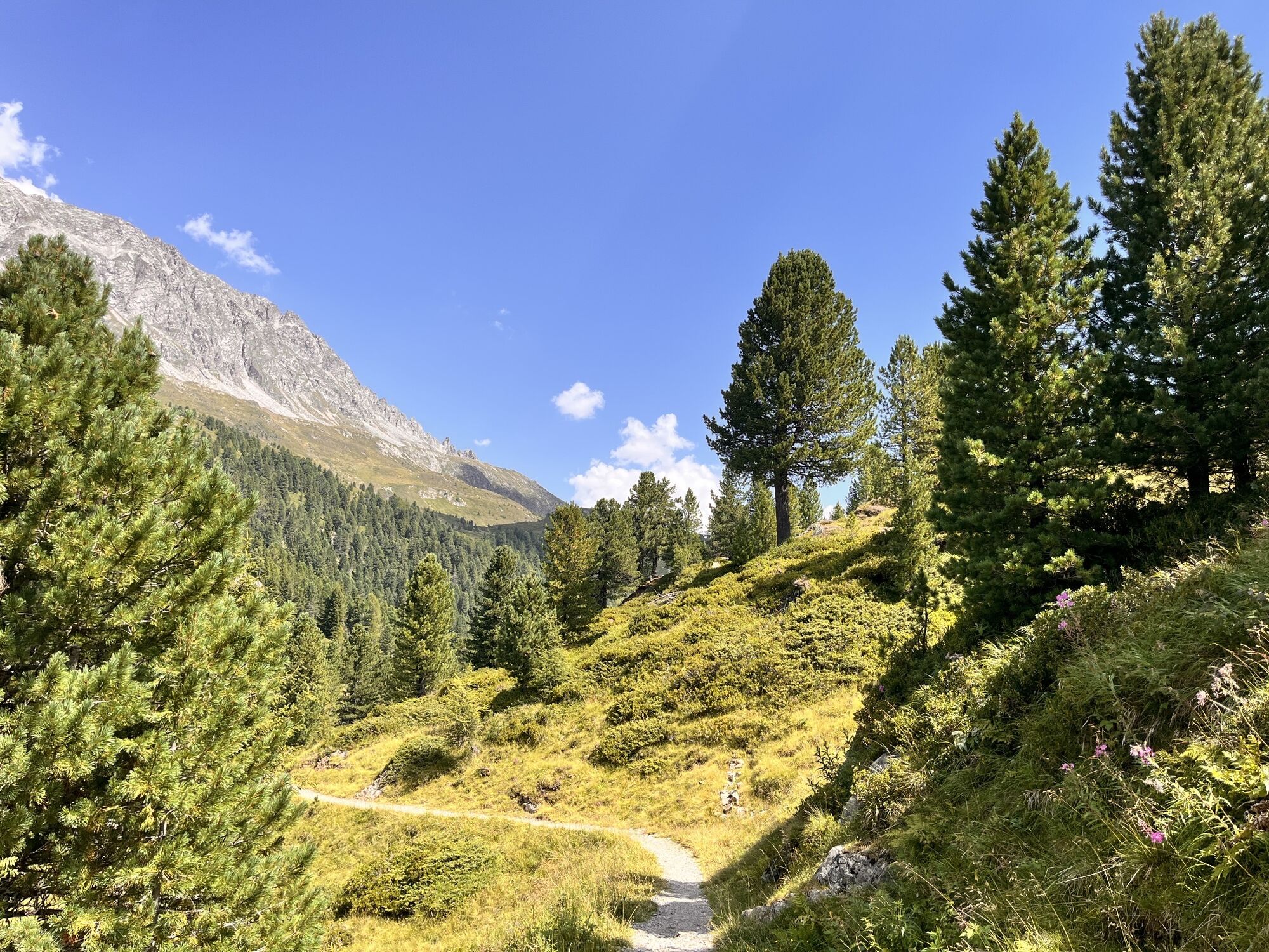
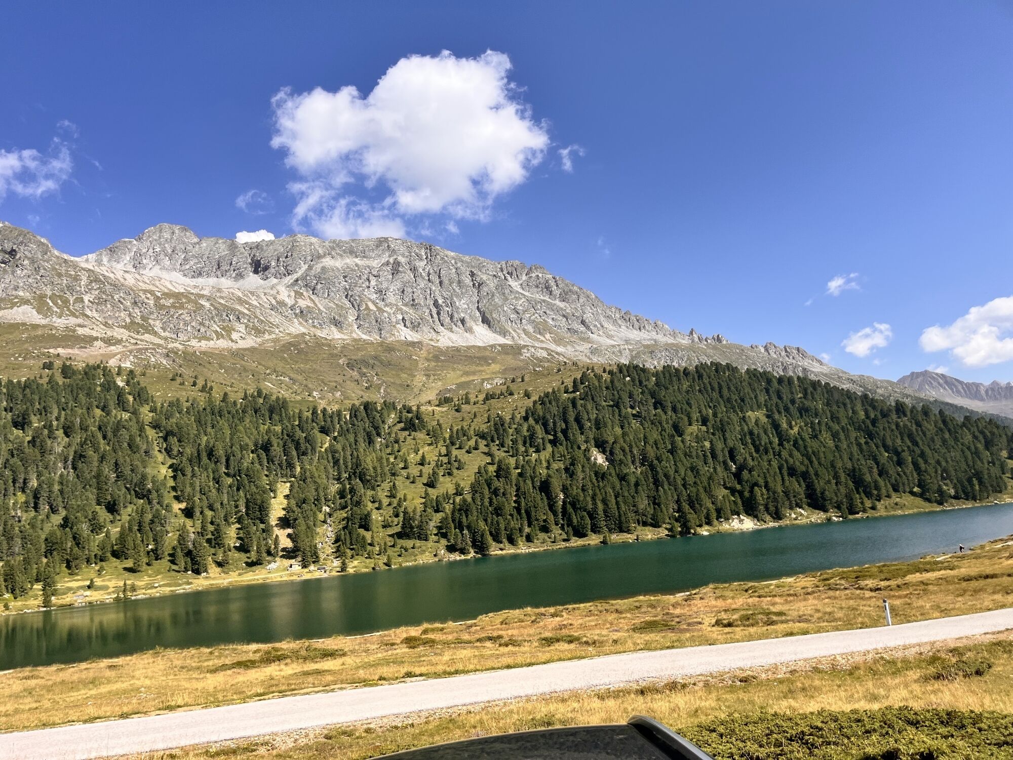
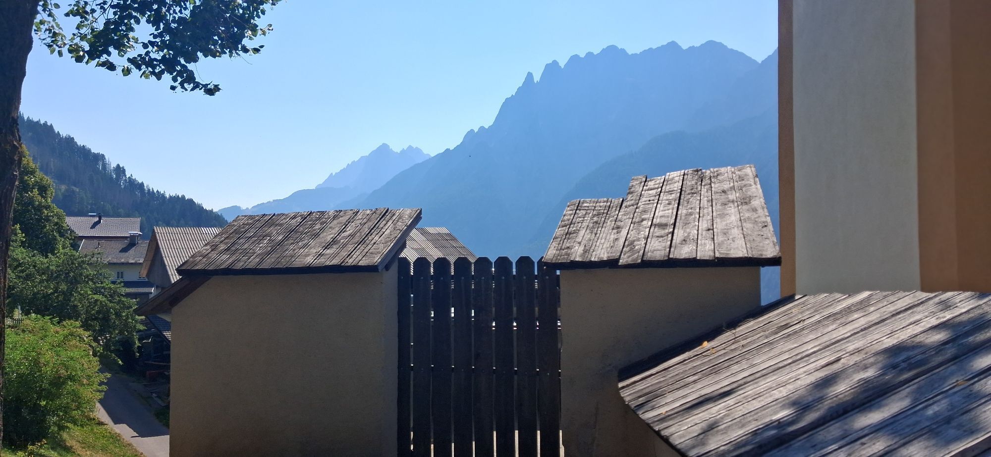
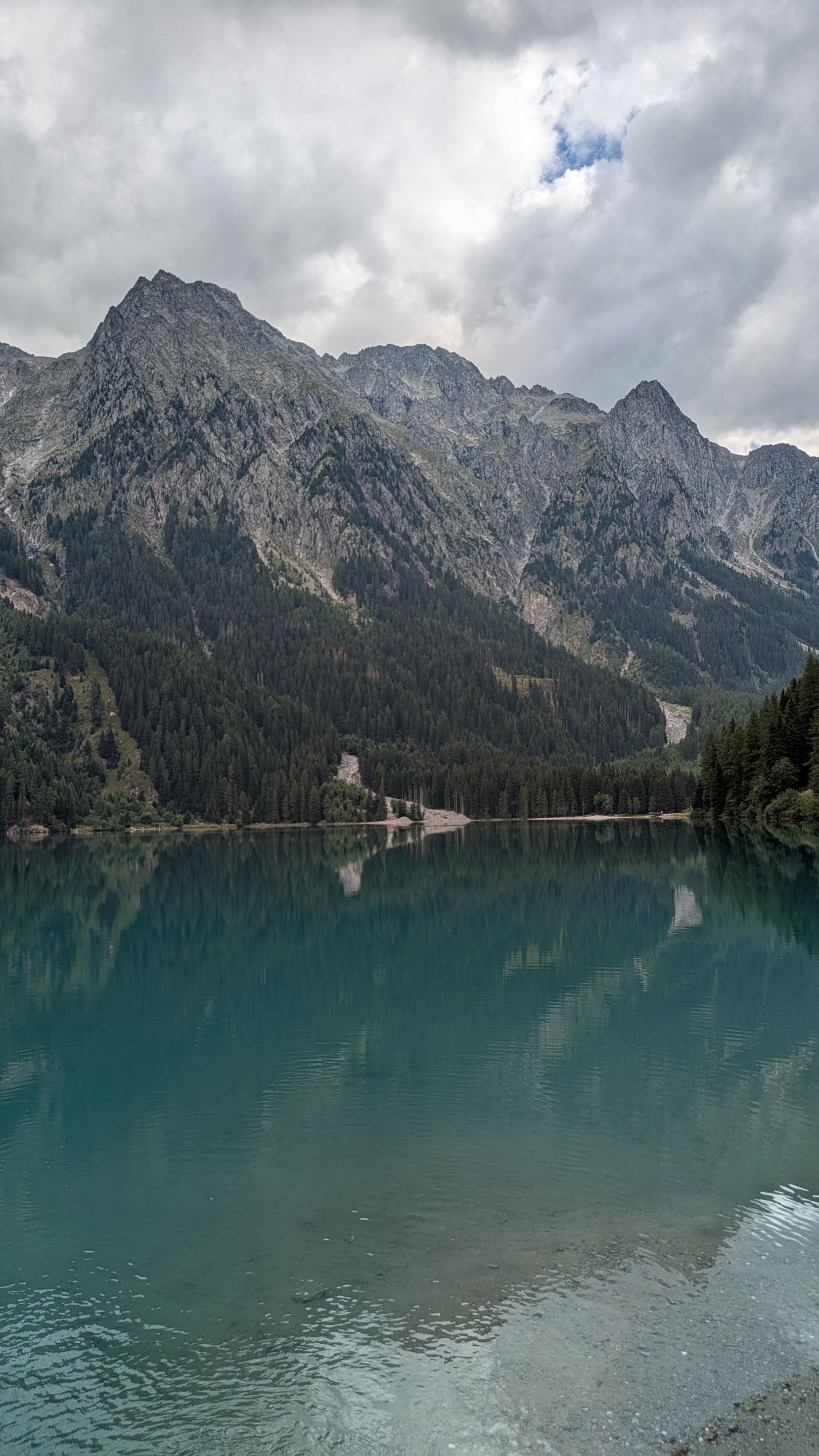
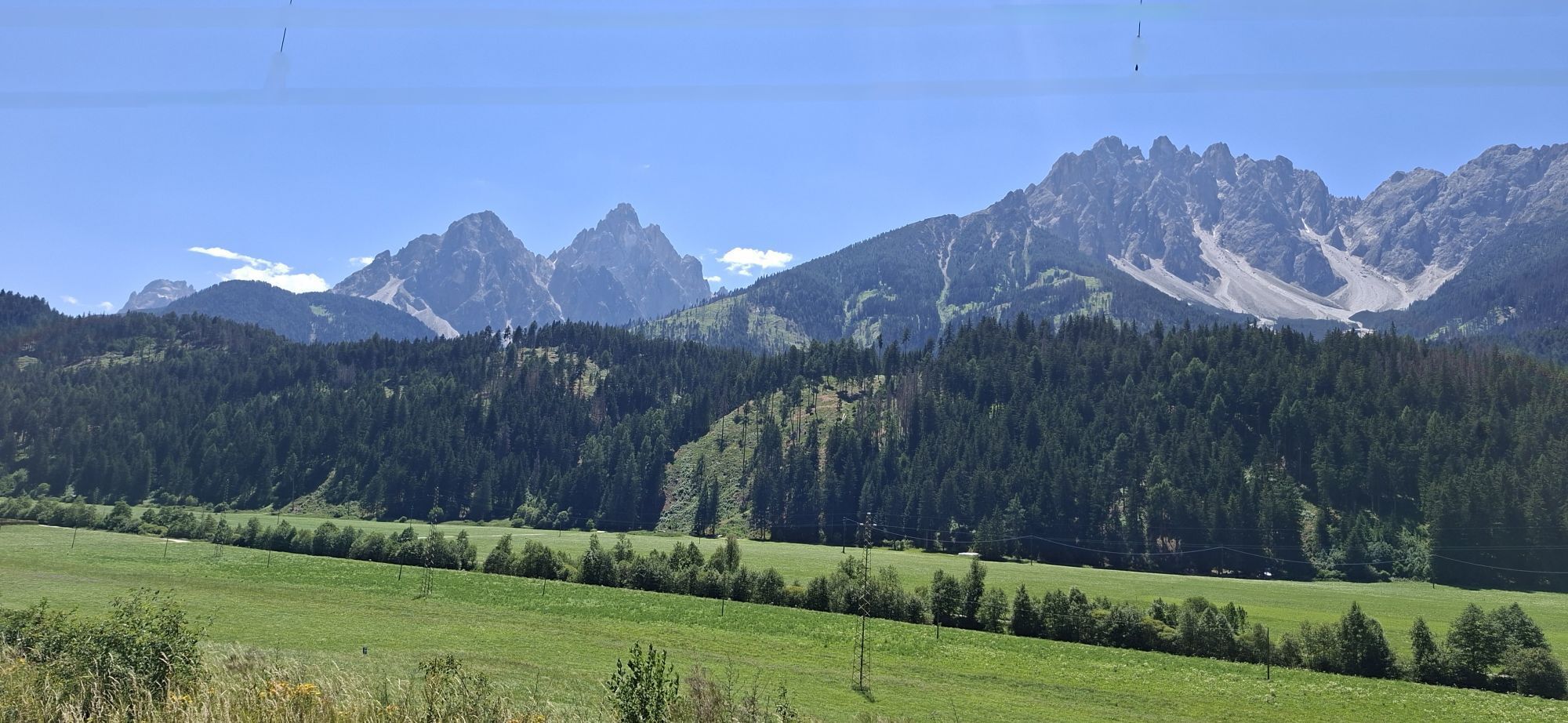
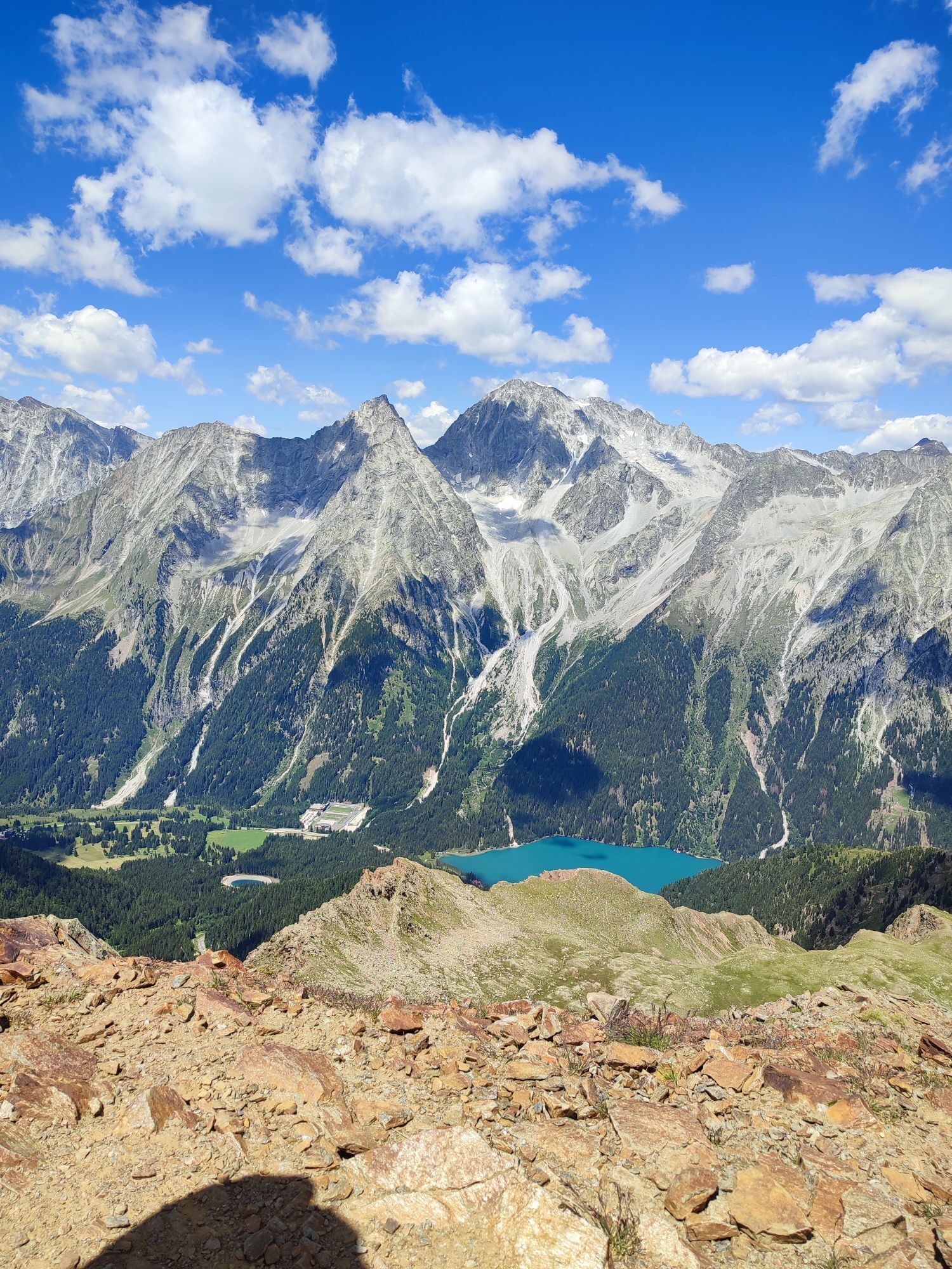
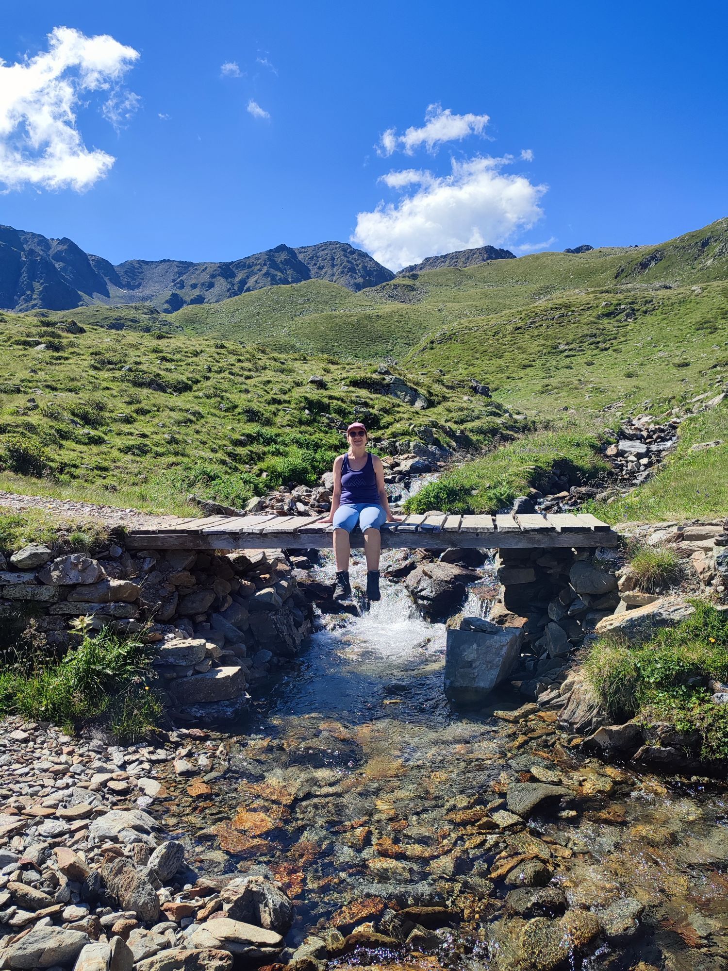
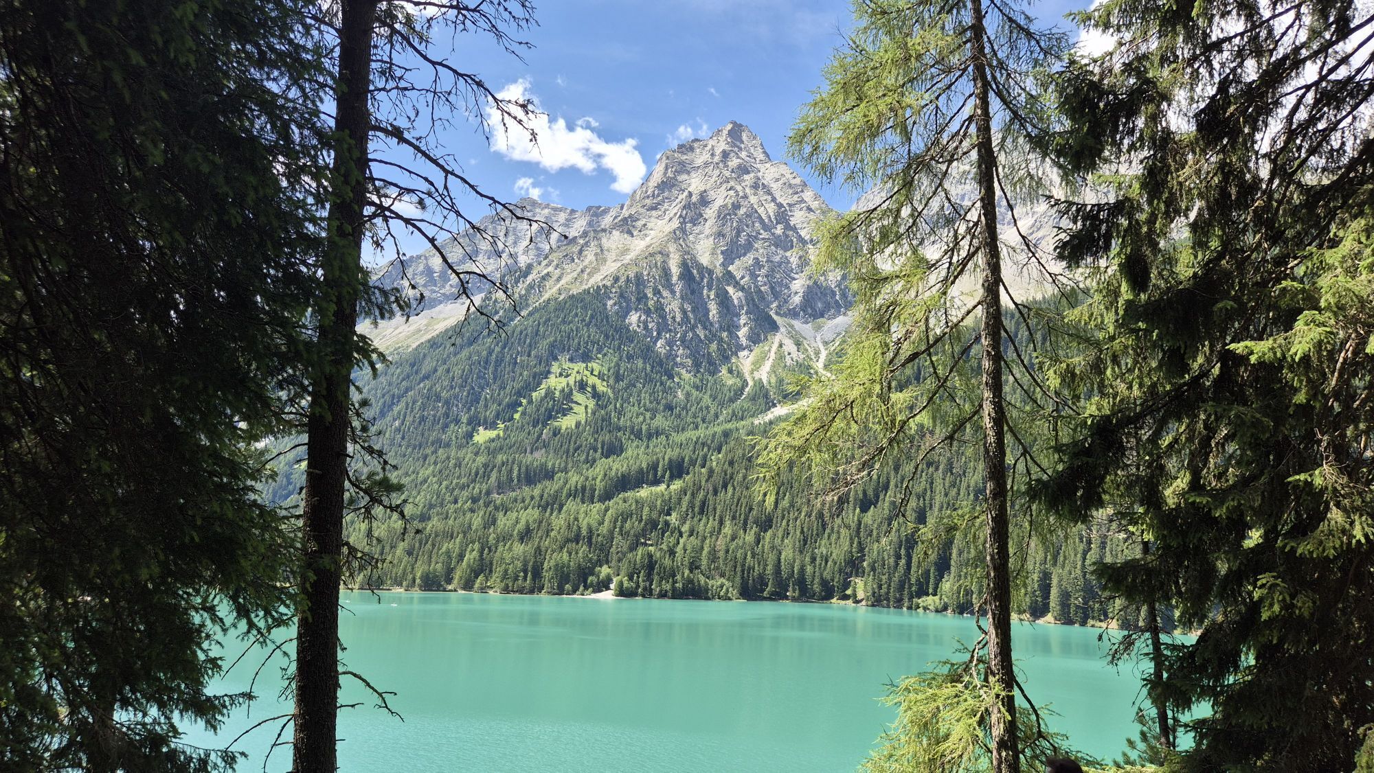
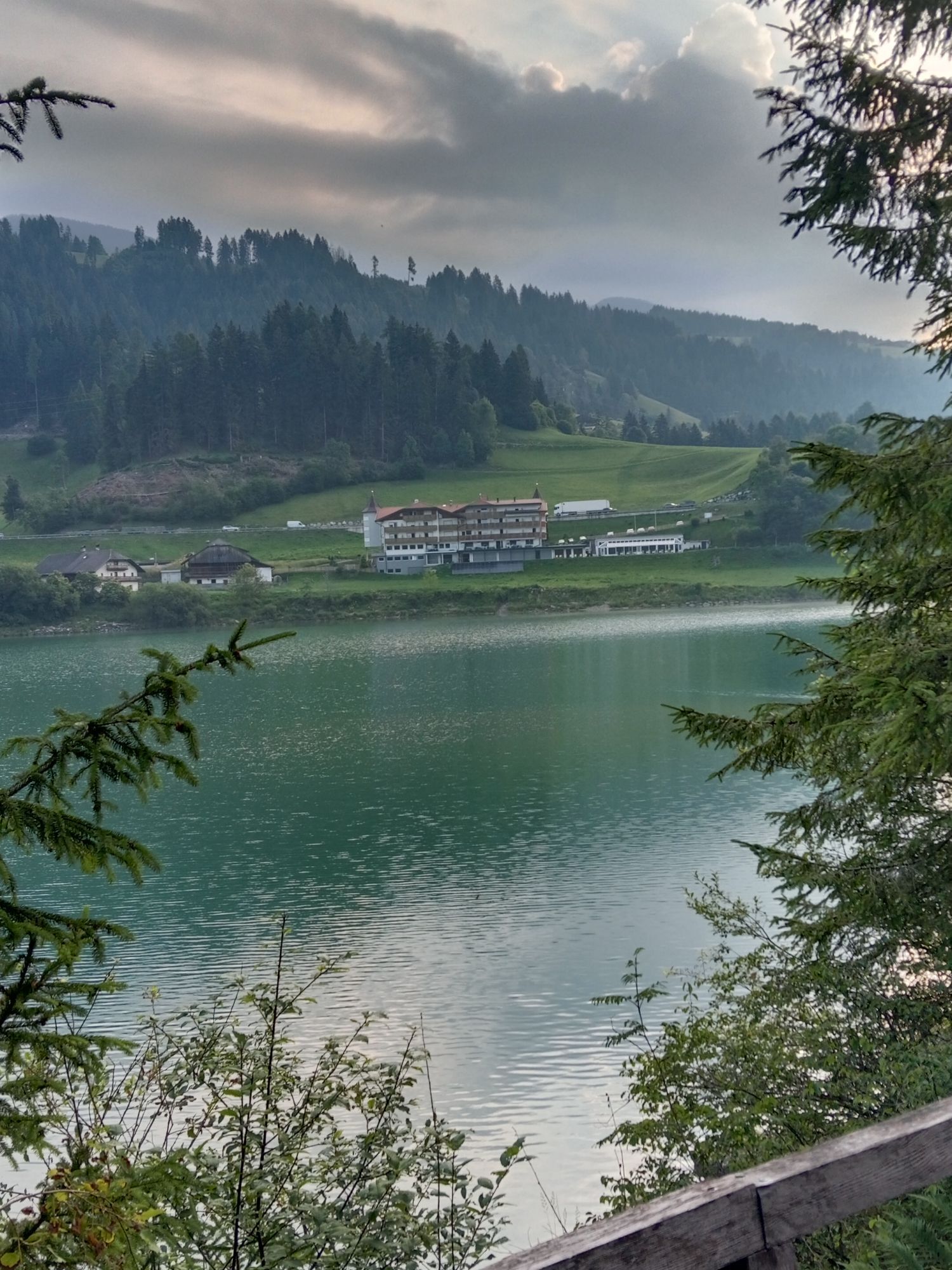
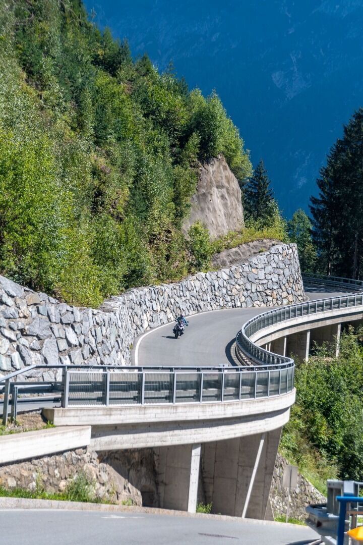
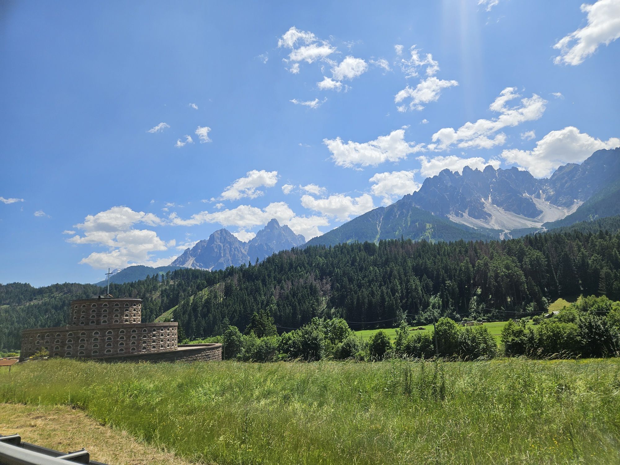
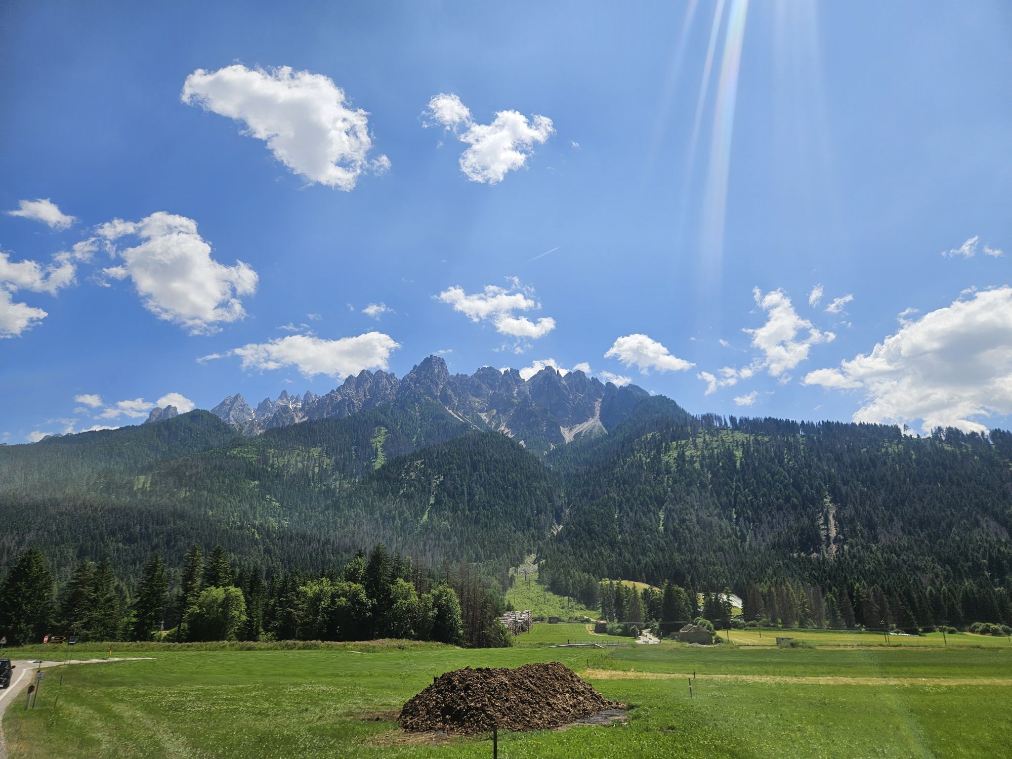
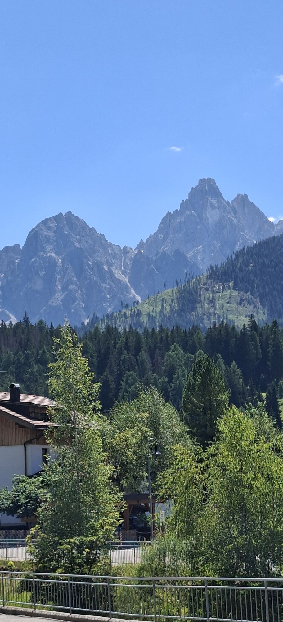
We start via Lienz, along the Felbertauernstraße B108 to Huben, and then turn left into Defereggental. The road width is just under two lanes in narrow passages. St. Jakob is passed and the fascinating ride over the Staller Sattel (2,052 m) begins. Via several serpentines you reach the high plateau of the Staller Alm with the Obersee lake and the border crossing from Osttirol to South Tyrol. The descent from the summit down to Lake Antholz is only permitted between the first and fifteenth minute after the hour. The single-lane, asphalted mountain road, with swerving before narrow sections, overcomes a difference in altitude of 400 m with eight hairpin bends in just under 5 km of route down to the Untersee lake.

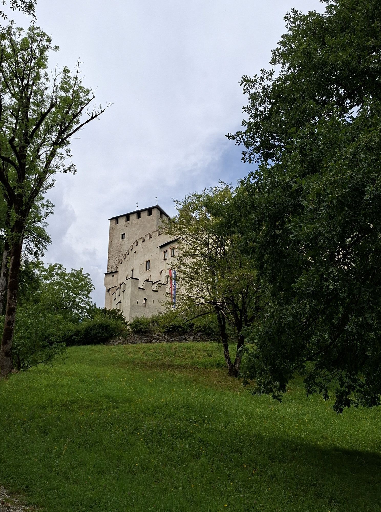
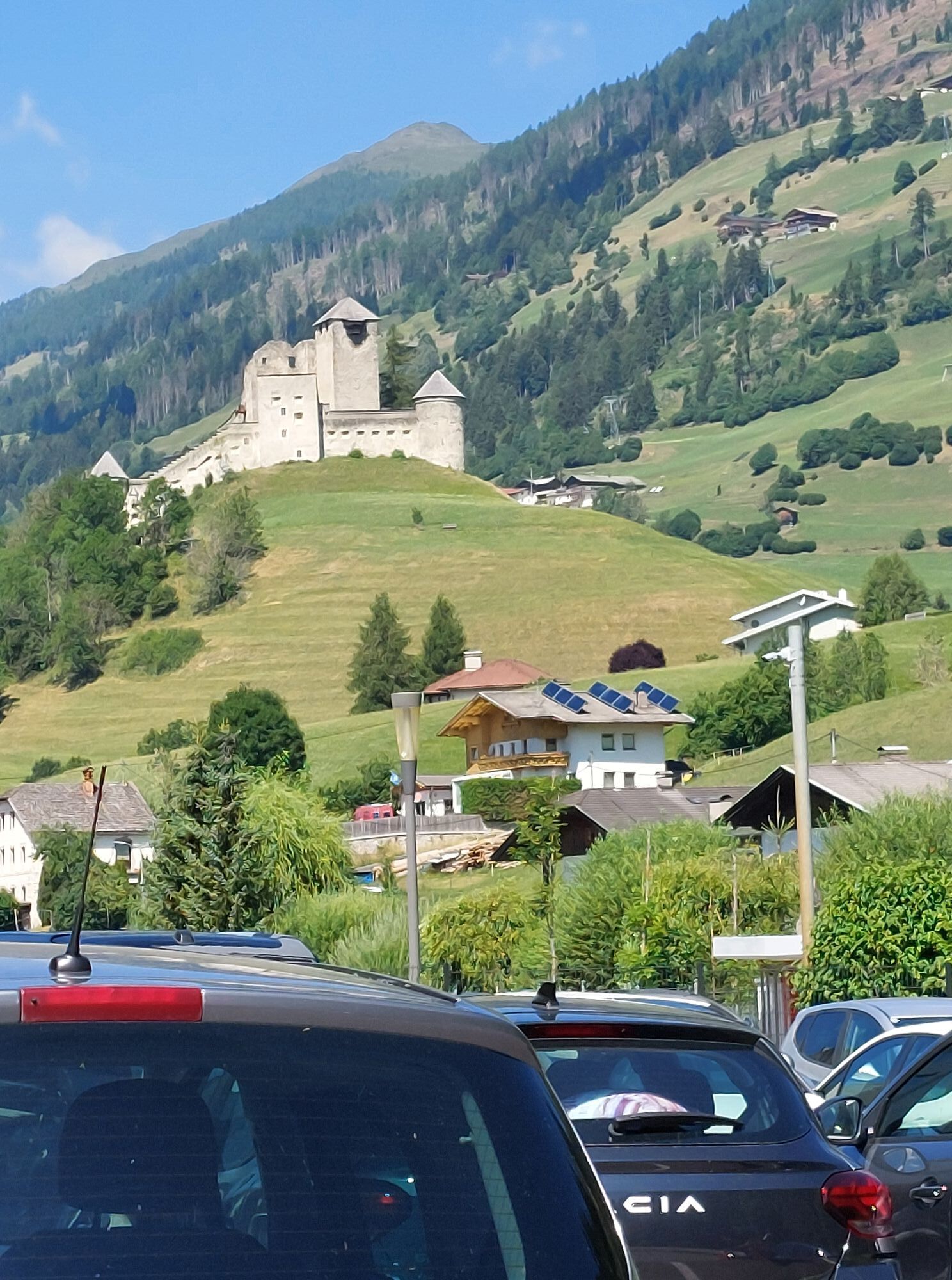
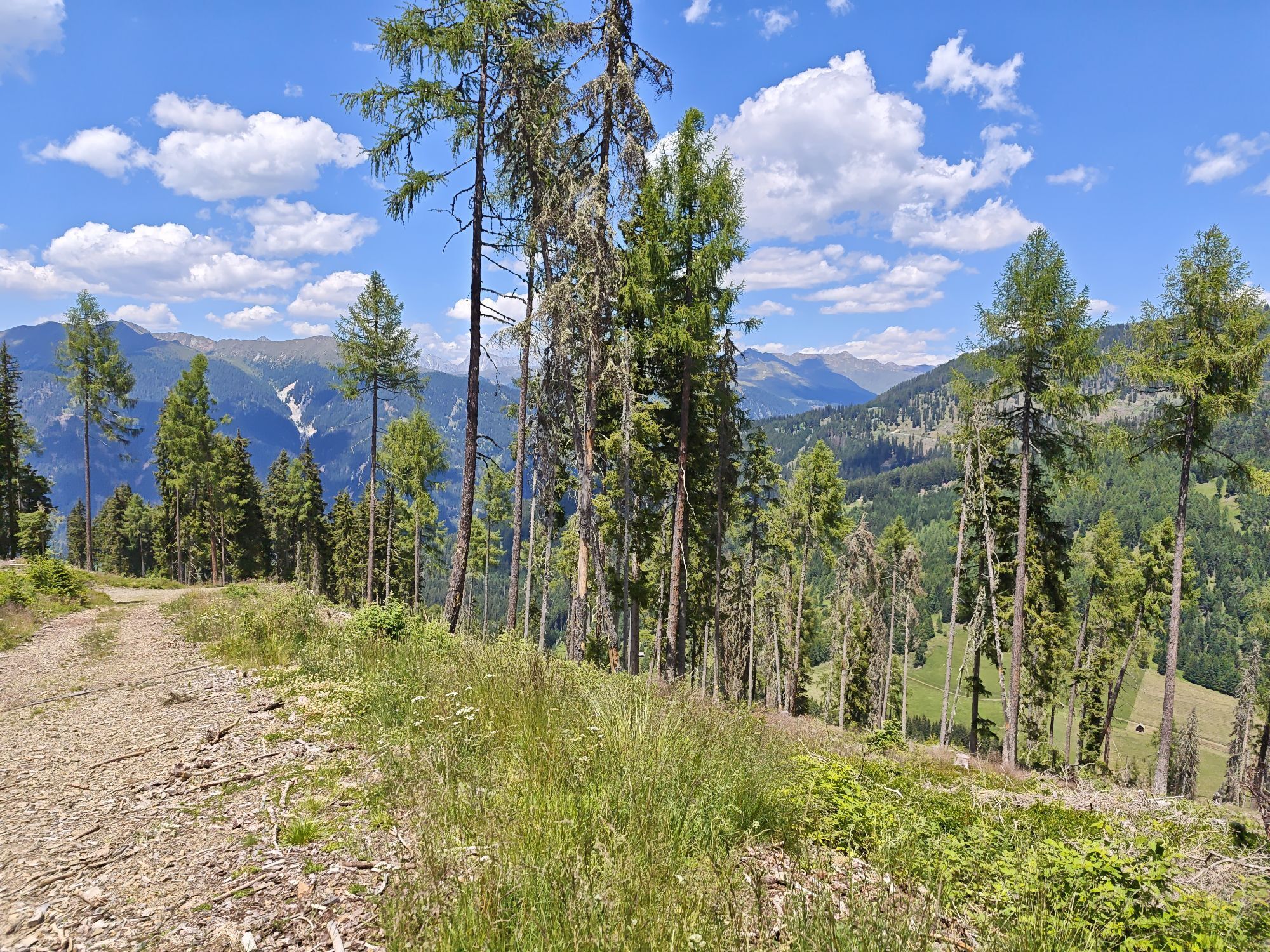
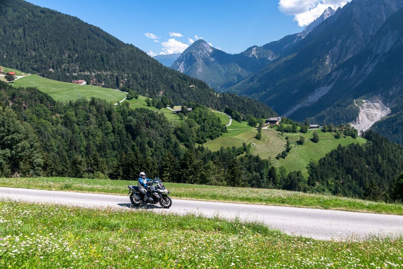
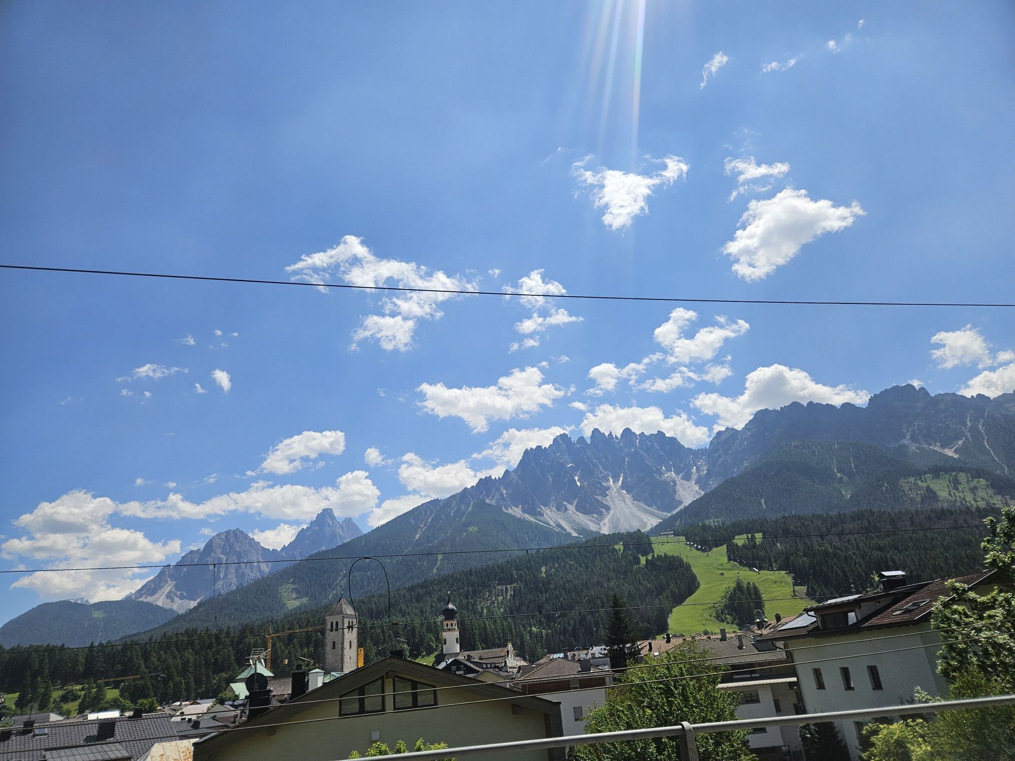
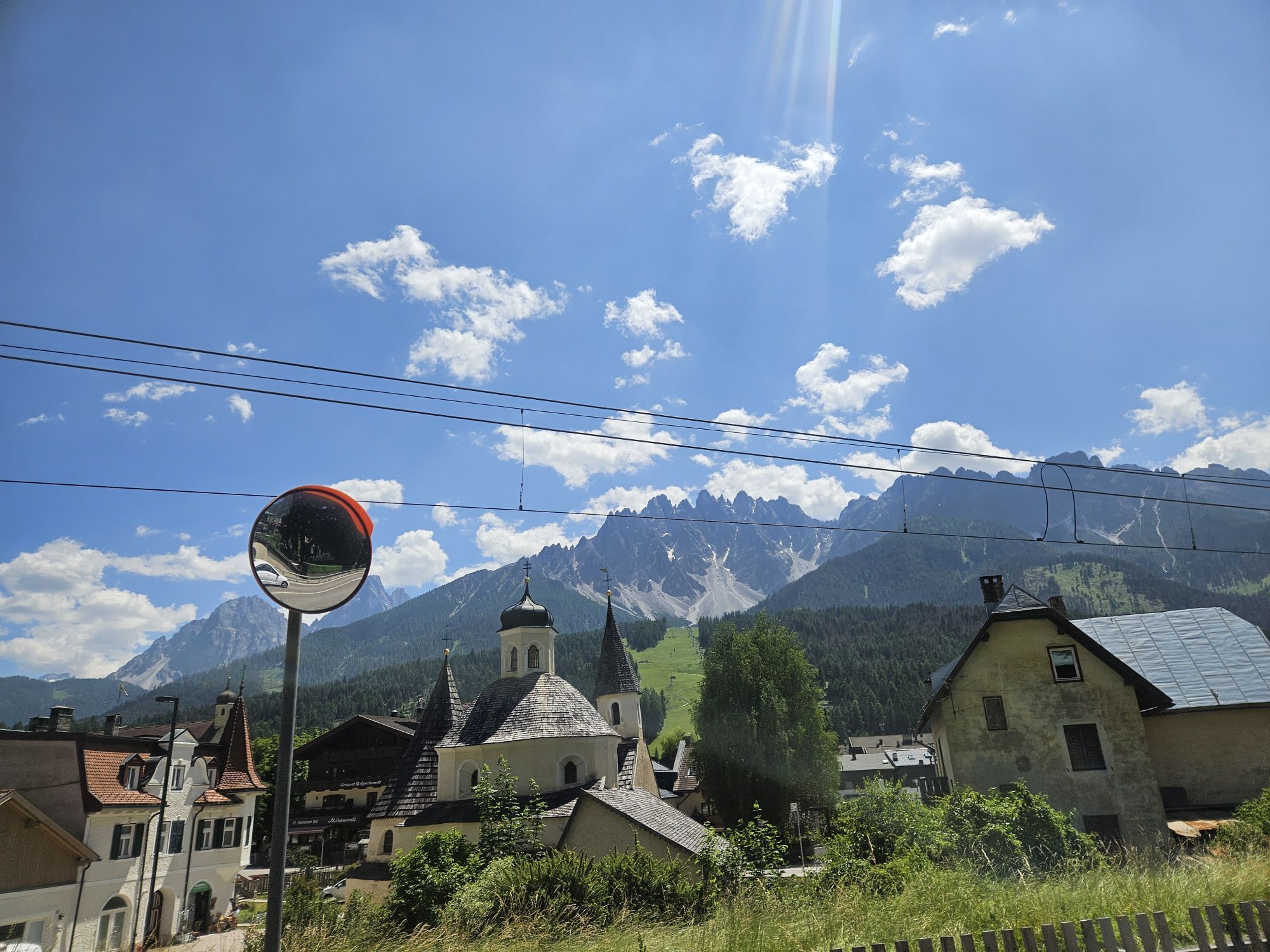
Through the Antholz valley, you reach the Pustertal valley and set course for Osttirol again. Shortly after Sillian you turn right, where the Pustertaler Höhenstraße offers a continuous stream of beautiful views and thus introduces the crowning conclusion of this loop. At the highest point, an altitude of 1,800 m is reached. The sun terrace offers a dream landscape with a largely rural structure, preserved customs and many cultural sites. The historic village of Anras is home to the Anraser Pfleghaus, a cultural jewel of modern monument preservation.

Ruta
Herz Jesu
(819 m)
Lugar de culto
19,7 km
Pfarrkirche St. Jakob
(1.389 m)
Lugar de culto
40,7 km
St. Joseph
(1.417 m)
Lugar de culto
63,9 km
Loretokapelle
(1.123 m)
Lugar de culto
105,6 km
Lourdeskapelle in Geselhaus
(1.047 m)
Lugar de culto
118,3 km
Pfarrkirche Anras
(1.262 m)
Lugar de culto
123,0 km
Pfarrkirche Assling zur Allerheiligsten Dreifaltigkeit
(1.125 m)
Lugar de culto
136,7 km
Ruta
Mapa
Motorcycle tour Staller Sattel und Pustertaler Höhenstraße
luz
Motocicleta
152,29 km
Lienz
(674 m)
Ciudad
0,0 km
Sattler Bichl
(724 m)
Liquidación
7,6 km
Unterdörfl
(712 m)
Liquidación
7,6 km
Ainet
(747 m)
Pueblo
7,7 km
Dornachsiedlung
(720 m)
Liquidación
7,9 km
Haiglanger
(711 m)
Liquidación
8,0 km
Maria-Hilf-Kapelle
(749 m)
Lugar de culto
13,7 km
Sankt Johann im Walde
(749 m)
Pueblo
14,0 km
Unterpeischlach
(823 m)
Pueblo
18,0 km
Kienburg
(793 m)
Liquidación
18,2 km
Huben
(819 m)
Pueblo
19,3 km
Herz Jesu
(819 m)
Lugar de culto
19,7 km
Kapelle Zur Schmerzhaften Muttergottes
(992 m)
Lugar de culto
22,0 km
Dölach
(994 m)
Pueblo
22,6 km
Lourdeskapelle
(1.109 m)
Lugar de culto
25,4 km
Hopfgarten in Defereggen
(1.107 m)
Pueblo
25,4 km
Plon
(1.138 m)
Liquidación
27,9 km
Stanzbrücke
(1.242 m)
Corredor/terreno
31,6 km
St. Veit in Defereggen
(1.495 m)
Pueblo
33,2 km
Zotten
(1.254 m)
Liquidación
33,4 km
Feld
(1.300 m)
Liquidación
36,5 km
Bruggen
(1.313 m)
Barrio
36,7 km
St. Leonhard
(1.393 m)
Liquidación
38,7 km
Außerrotte
(1.382 m)
Barrio
39,3 km
Tandlerstuben
(1.376 m)
Restaurante
39,7 km
St. Jakob
(1.384 m)
Pueblo
40,5 km
Pfarrkirche St. Jakob
(1.389 m)
Lugar de culto
40,7 km
Unterrotte
(1.451 m)
Barrio
41,3 km
Oberrotte
(1.417 m)
Barrio
41,9 km
Maria Hilf
(1.419 m)
Liquidación
43,5 km
Frattentümpfel
(1.485 m)
Cascada
45,4 km
Alpengasthof Alpenrose
(1.561 m)
Restaurante
46,6 km
Erlsbach
(1.543 m)
Liquidación
46,7 km
Stalleralm
(1.951 m)
Liquidación
52,3 km
Lackenstüberl
(1.983 m)
Restaurante
52,8 km
Tiroler Hütte
(1.643 m)
Restaurante
60,9 km
Huber Alm
(1.633 m)
Restaurante
61,3 km
Antholz Obertal - Anterselva di Sopra
(1.426 m)
Pueblo
63,7 km
St. Joseph
(1.417 m)
Lugar de culto
63,9 km
Rieder
(1.239 m)
Liquidación
66,5 km
Antholz Mittertal - Anterselva di Mezzo
(1.241 m)
Pueblo
66,6 km
Mooshöhe - Costa del Colle
(1.240 m)
Liquidación
67,4 km
Siesl
(1.222 m)
Liquidación
67,5 km
Antholz Niedertal - Anterselva di Sotto
(1.106 m)
Pueblo
70,1 km
Oberrasen - Rasun di Sopra
(1.090 m)
Pueblo
75,3 km
Niederrasen - Rasun di Sotto
(1.028 m)
Pueblo
76,5 km
Alte Goste
(1.090 m)
Restaurante
79,7 km
Welsberg - Monguelfo
(1.087 m)
Pueblo
84,3 km
Welsberg-Gsies - Monguelfo-Valle di Casies
(1.090 m)
Estación de ferrocarril
84,8 km
Niederdorf-Prags - Villabassa-Braies
(1.152 m)
Estación de ferrocarril
89,8 km
Niederdorf - Villabassa
(1.154 m)
Pueblo
89,9 km
Innichen - San Candido
(1.176 m)
Estación de ferrocarril
98,5 km
Innichen - San Candido
(1.174 m)
Ciudad
99,0 km
Tischler
(1.171 m)
Liquidación
101,3 km
Wiesthaler
(1.183 m)
Liquidación
101,5 km
Pizzeria Ristorante Helmhotel
(1.142 m)
Restaurante
102,5 km
Obervierschach - Versciaco di Sopra
(1.173 m)
Liquidación
102,7 km
Loretokapelle
(1.123 m)
Lugar de culto
105,6 km
Bar Café Pizzeria Tempele
(1.114 m)
Restaurante
106,3 km
Pizzeria Restaurant Tempele
(1.113 m)
Restaurante
106,3 km
Puschtra Alm
(1.108 m)
Restaurante
107,8 km
Huben
(1.107 m)
Liquidación
107,8 km
Arnbach
(1.086 m)
Pueblo
108,7 km
Kapelle zu unserem Herrn im Elend
(1.079 m)
Lugar de culto
109,8 km
Sillian
(1.103 m)
Ciudad
110,1 km
Sillianer Wirt
(1.082 m)
Restaurante
110,8 km
Filialkirche Heiliger Antonius von Padua
(1.079 m)
Lugar de culto
112,1 km
Gasthof Burg Heimfels
(1.076 m)
Restaurante
112,2 km
Heinfels
(1.131 m)
Pueblo
112,2 km
Panzendorf
(1.075 m)
Pueblo
112,2 km
Tassenbach
(1.079 m)
Pueblo
114,2 km
Strassen
(1.097 m)
Pueblo
115,8 km
Lourdeskapelle in Geselhaus
(1.047 m)
Lugar de culto
118,3 km
Geselhaus
(1.053 m)
Corredor/terreno
118,3 km
Totenrastkapelle
(1.031 m)
Lugar de culto
119,1 km
Abfaltersbach
(982 m)
Pueblo
119,4 km
Gebreite
(1.046 m)
Liquidación
119,9 km
Asch
(1.152 m)
Liquidación
120,9 km
Maria Himmelfahrt
(1.175 m)
Lugar de culto
121,0 km
Bildstock Bartler
(1.212 m)
Lugar de culto
121,6 km
Goll
(1.241 m)
Liquidación
122,1 km
Pfarrkirche Anras
(1.262 m)
Lugar de culto
123,0 km
Anras
(1.261 m)
Pueblo
123,0 km
Marwiesen
(1.273 m)
Liquidación
124,1 km
Wiesen
(1.247 m)
Liquidación
124,4 km
Bildstock Weilerstöckl
(1.261 m)
Lugar de culto
124,6 km
Vergein
(1.378 m)
Liquidación
129,3 km
Burg
(1.339 m)
Liquidación
130,4 km
Linderkirchl
(1.427 m)
Lugar de culto
131,4 km
Kosten
(1.410 m)
Liquidación
132,1 km
Kosten
(1.436 m)
Lugar de culto
132,3 km
Bichl
(1.463 m)
Liquidación
134,0 km
Oberassling
(1.201 m)
Barrio
135,8 km
Unterassling
(1.150 m)
Barrio
136,1 km
Restaurant Walter's Gästehaus
(1.158 m)
Restaurante
136,2 km
Assling
(1.128 m)
Pueblo
136,6 km
Pfarrkirche Assling zur Allerheiligsten Dreifaltigkeit
(1.125 m)
Lugar de culto
136,7 km
Oberthal
(976 m)
Liquidación
138,1 km
Klausen
(1.116 m)
Liquidación
139,4 km
Schrottendorf
(1.152 m)
Liquidación
140,5 km
Bannberg
(1.273 m)
Liquidación
142,4 km
Burgfrieden
(824 m)
Liquidación
146,9 km
Leisach-Gries
(705 m)
Pueblo
148,7 km
Leisach
(708 m)
Pueblo
149,2 km
Leisacherwirt
(700 m)
Restaurante
149,3 km
Brauerei Gasthof Falkenstein
(687 m)
Restaurante
149,8 km
Lienz
(674 m)
Ciudad
151,3 km
Información turística
La mejor época del año
Ene
Feb
Mar
Abr
May
Jun
Jul
Ago
Sep
Oct
Nov
Dic
Autor
Proporcionado por TVB Osttirol
Logo
Compartir gira
Mapa
Motorcycle tour Staller Sattel und Pustertaler Höhenstraße
luz
Motocicleta
152,29 km
Error
Se ha producido un error. Por favor, inténtelo de nuevo.
Aún no hay opiniones
Escriba un comentario

Las opiniones ayudan a otros usuarios a elegir su próxima aventura. Por favor, valora solo el tour, no el tiempo o tu aperitivo.

Seleccione una de las estrellas para puntuar el recorrido
Mal tour
Gira débil
Visita mediocre
Buena visita
Excelente recorrido
Senderismo y rastreo

Senderismo y rastreo

Senderismo y rastreo
Más de 550.000 sugerencias de excursiones, mapas detallados y un intuitivo planificador de rutas hacen de esta aplicación una herramienta imprescindible para todos los amantes de la naturaleza.
bergfex