






KOASA Jubilee Ultratrail



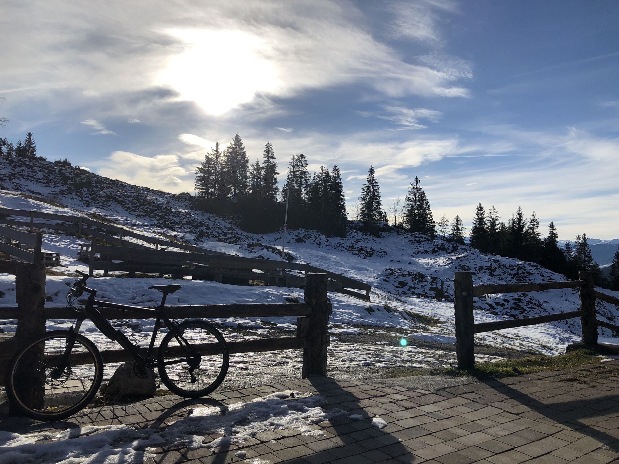
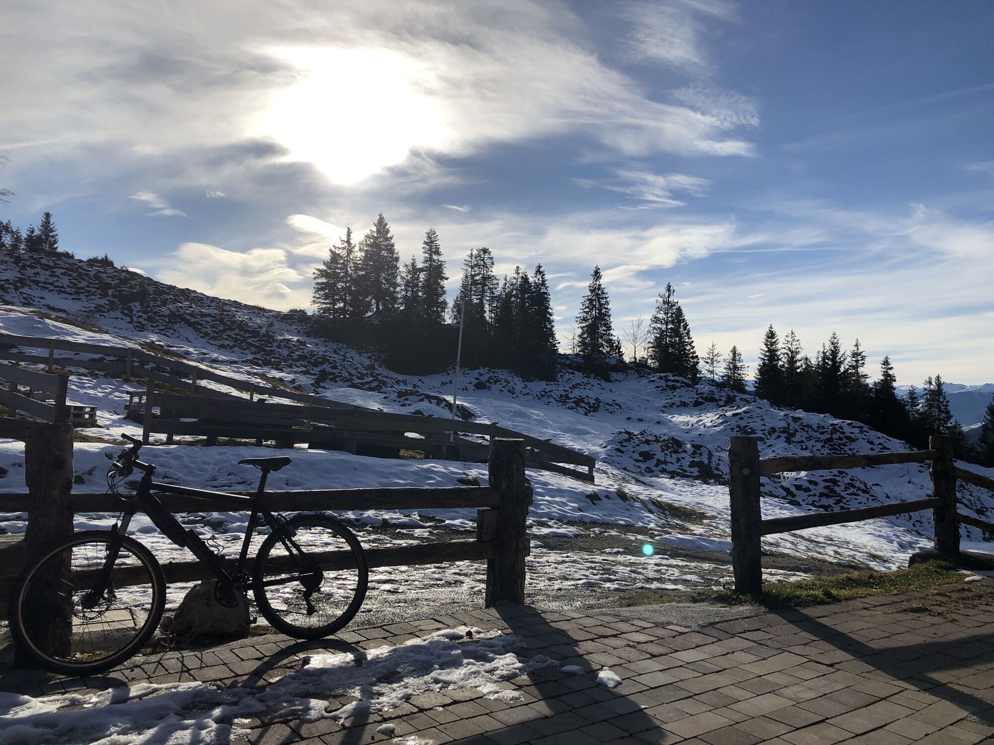

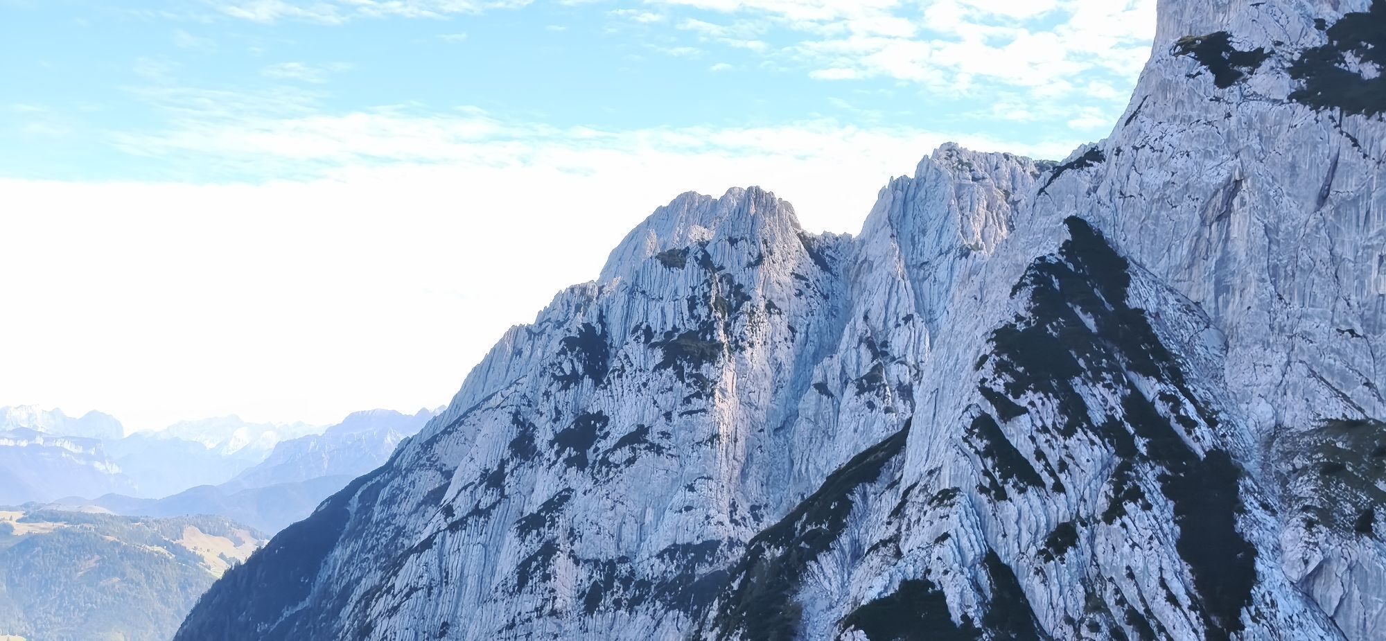
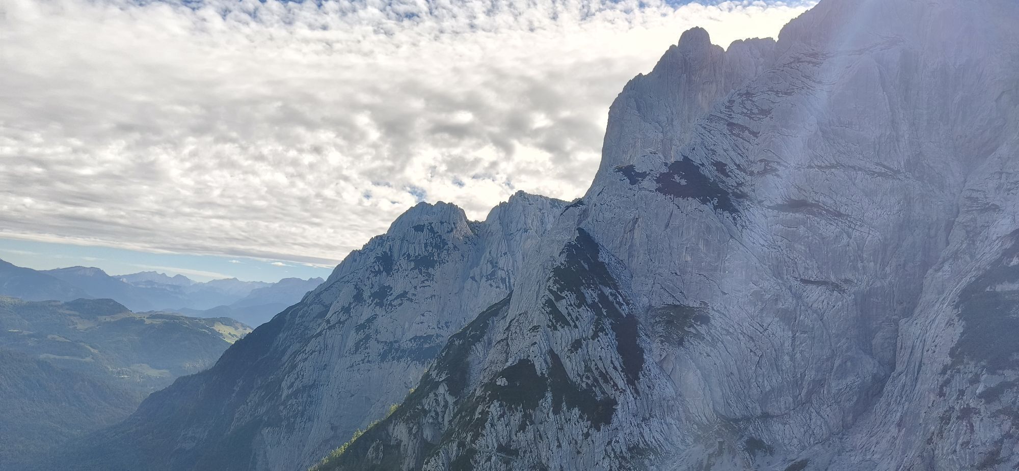
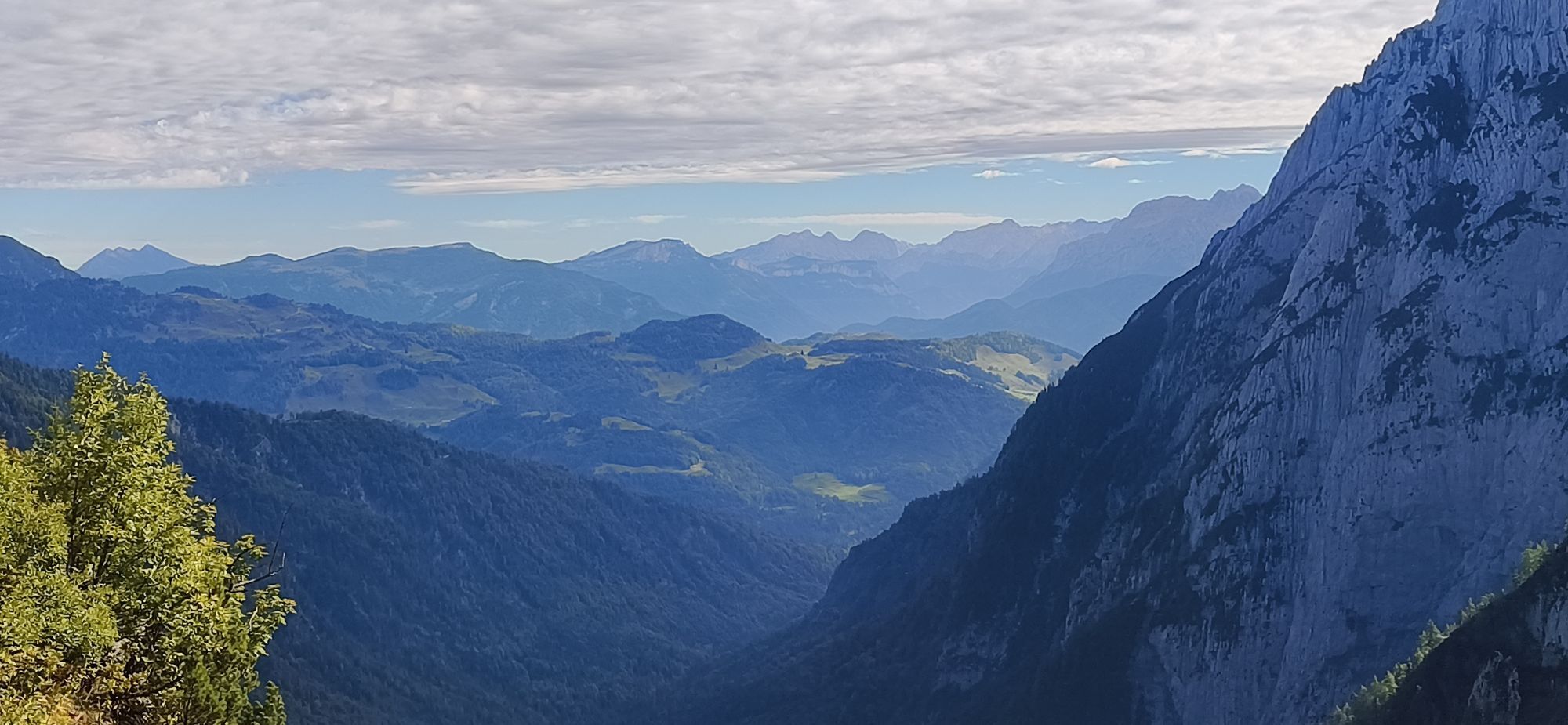
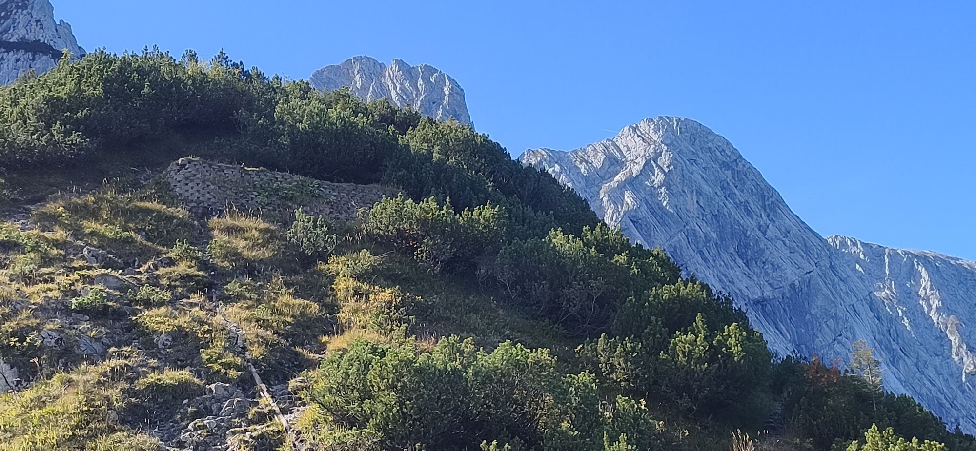
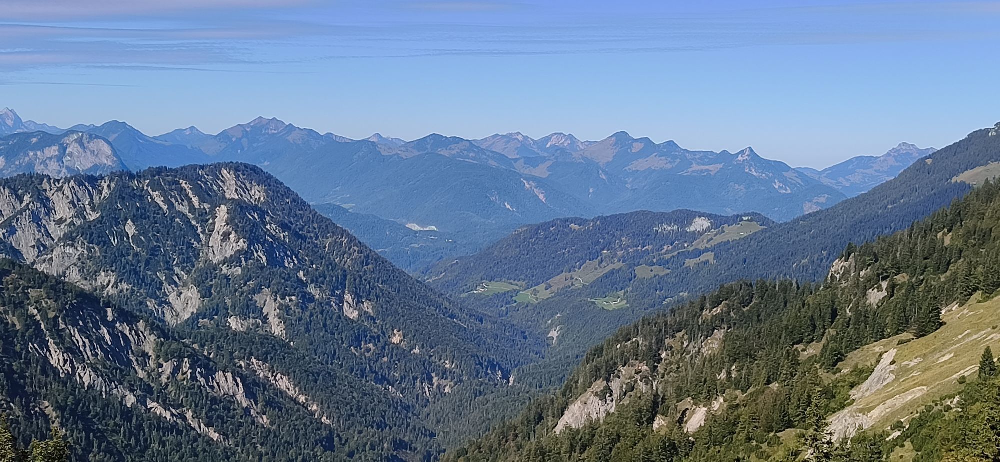
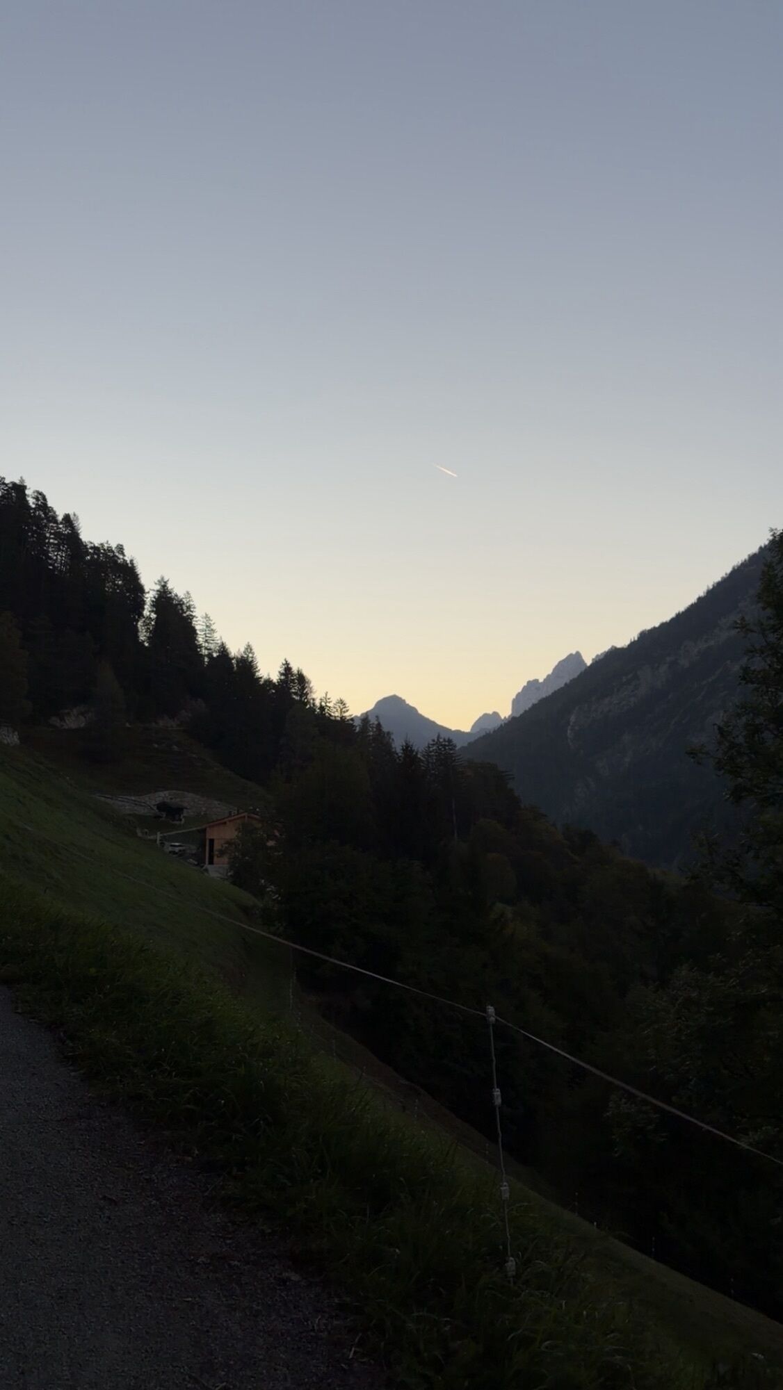
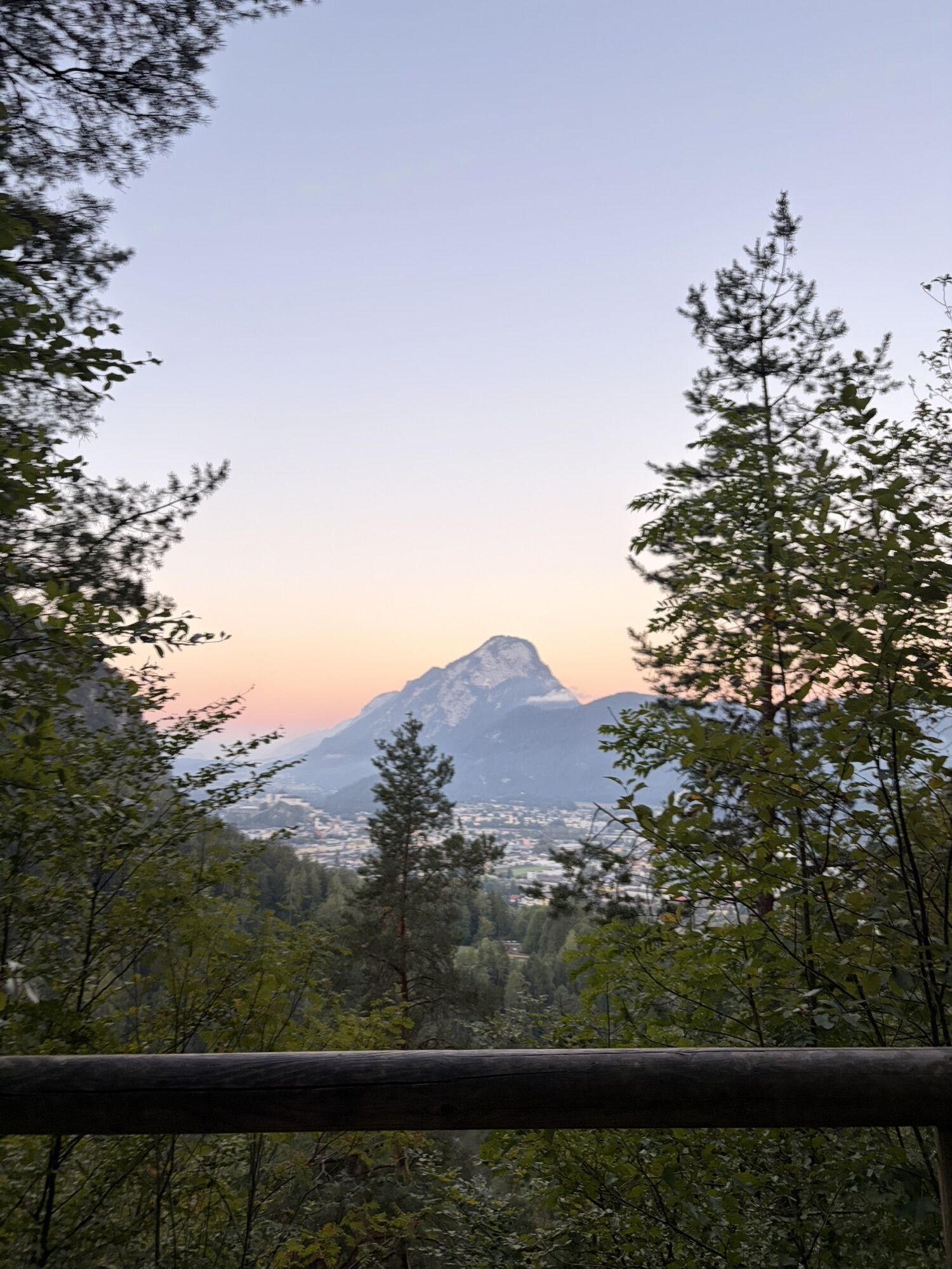
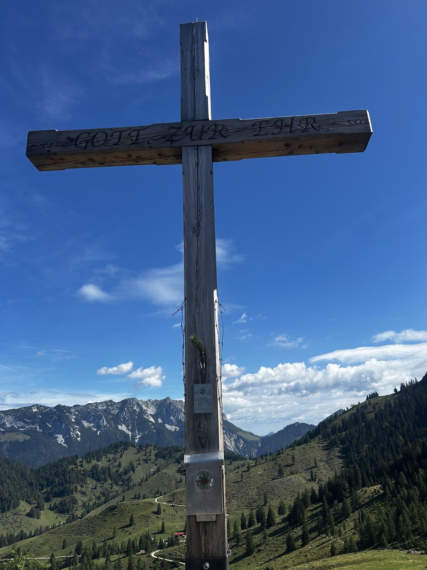
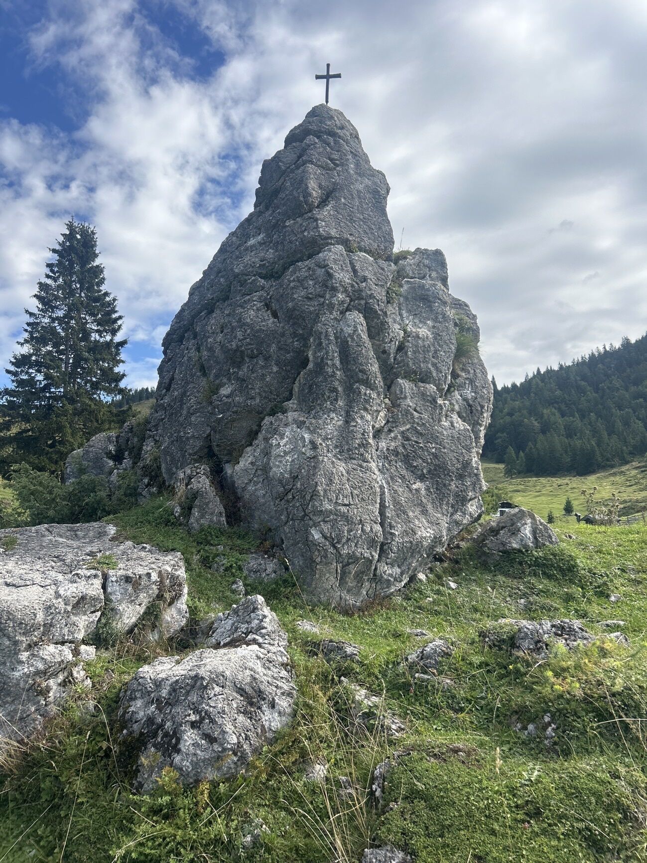
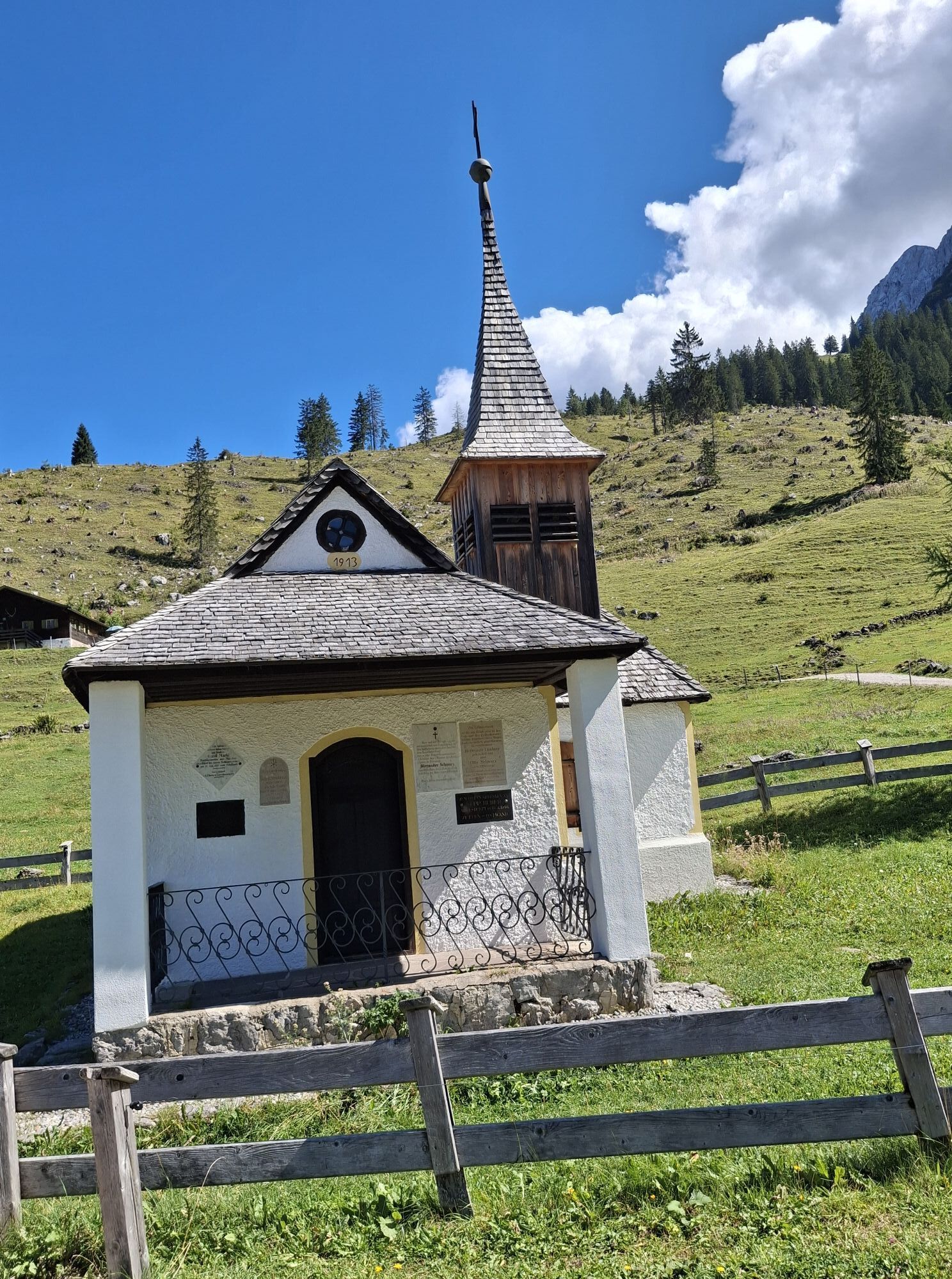
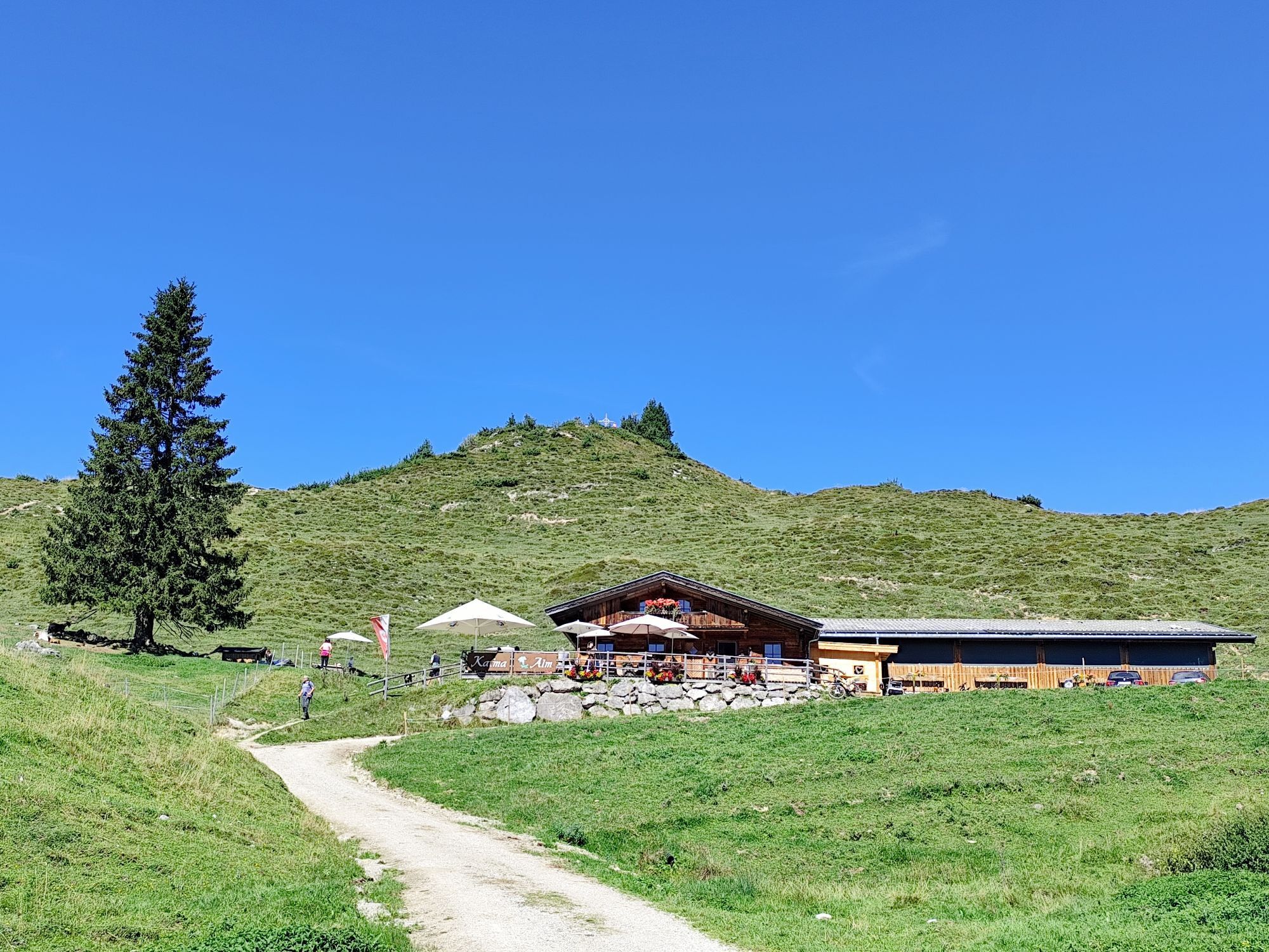
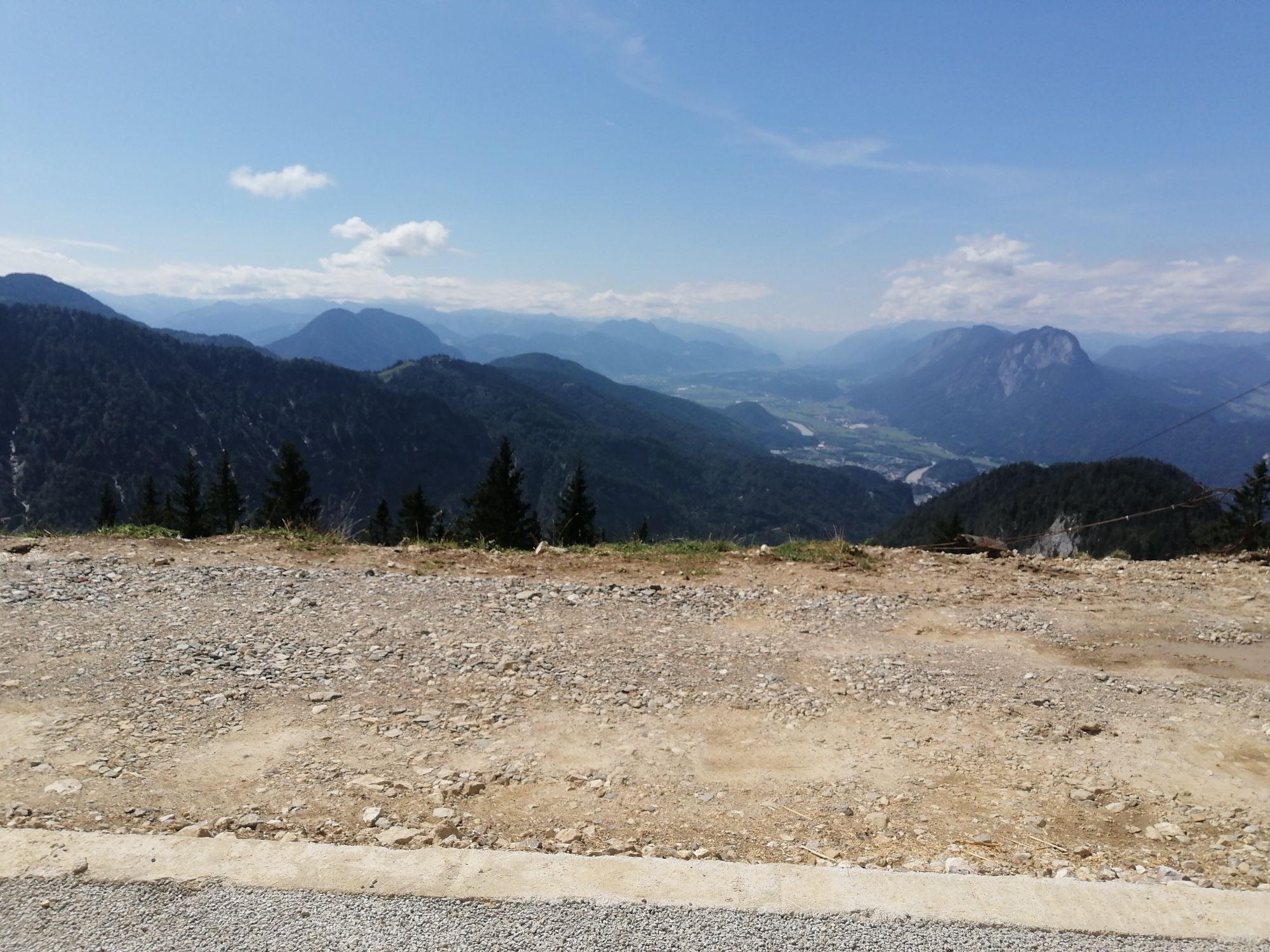
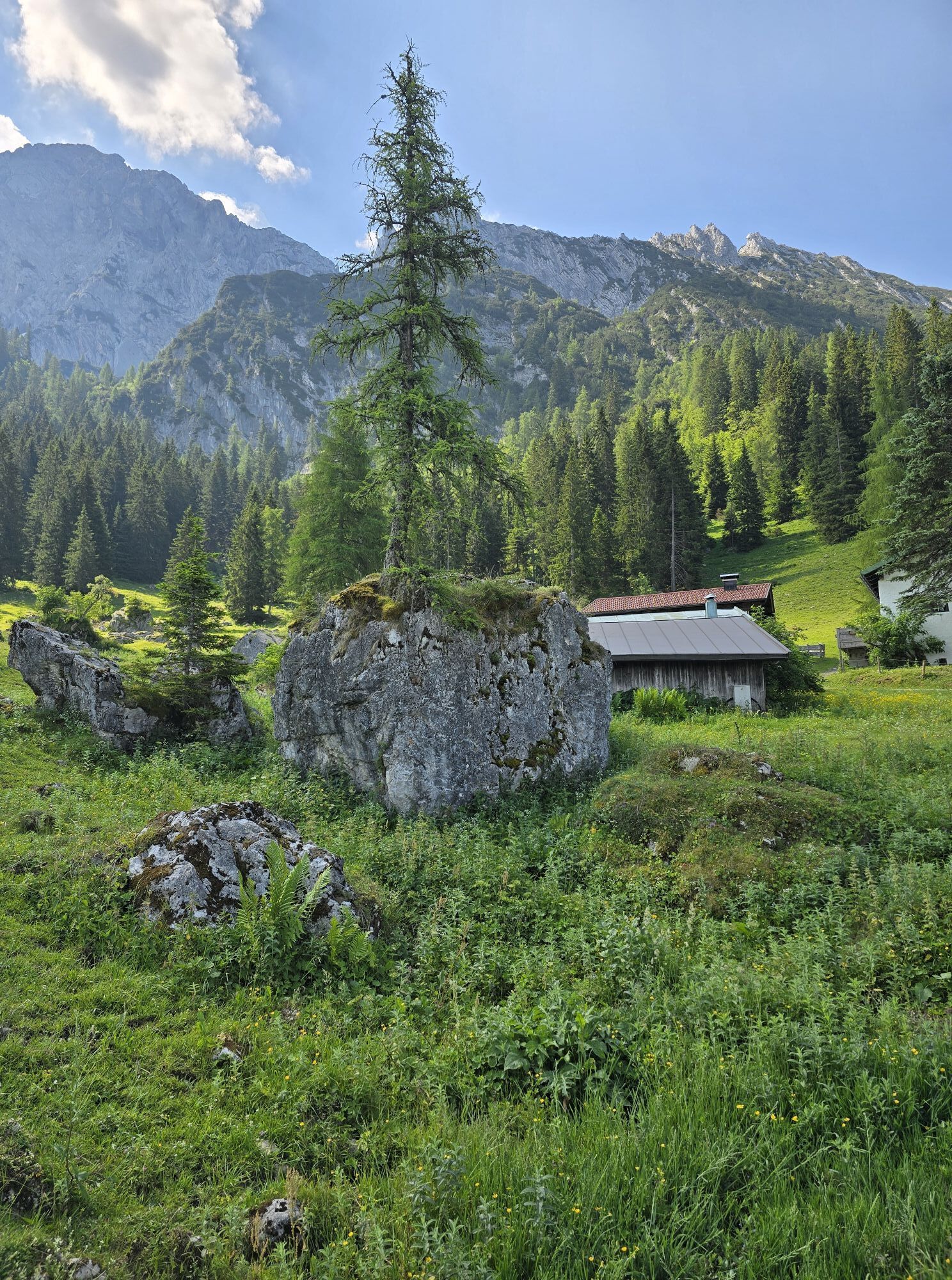
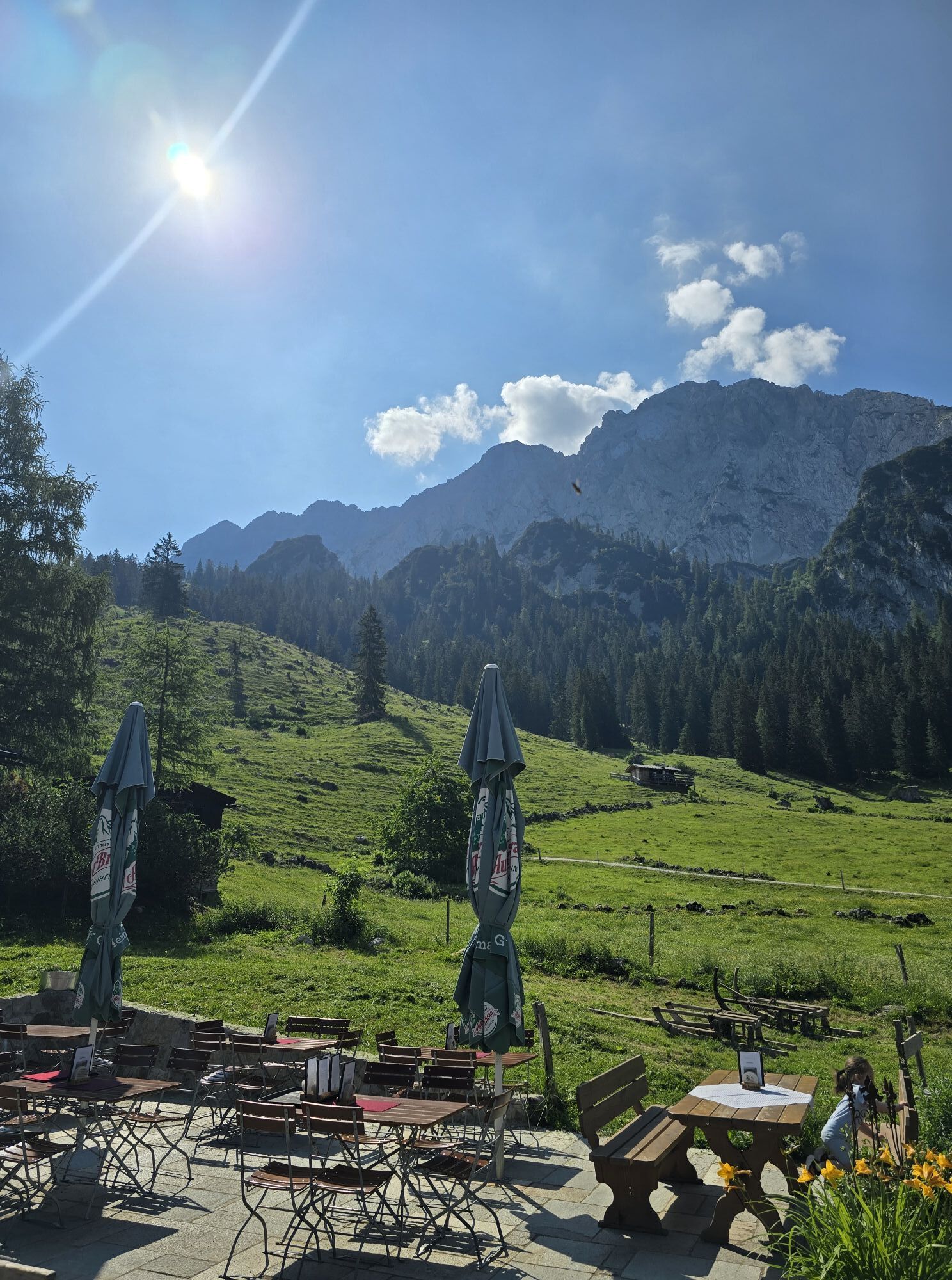
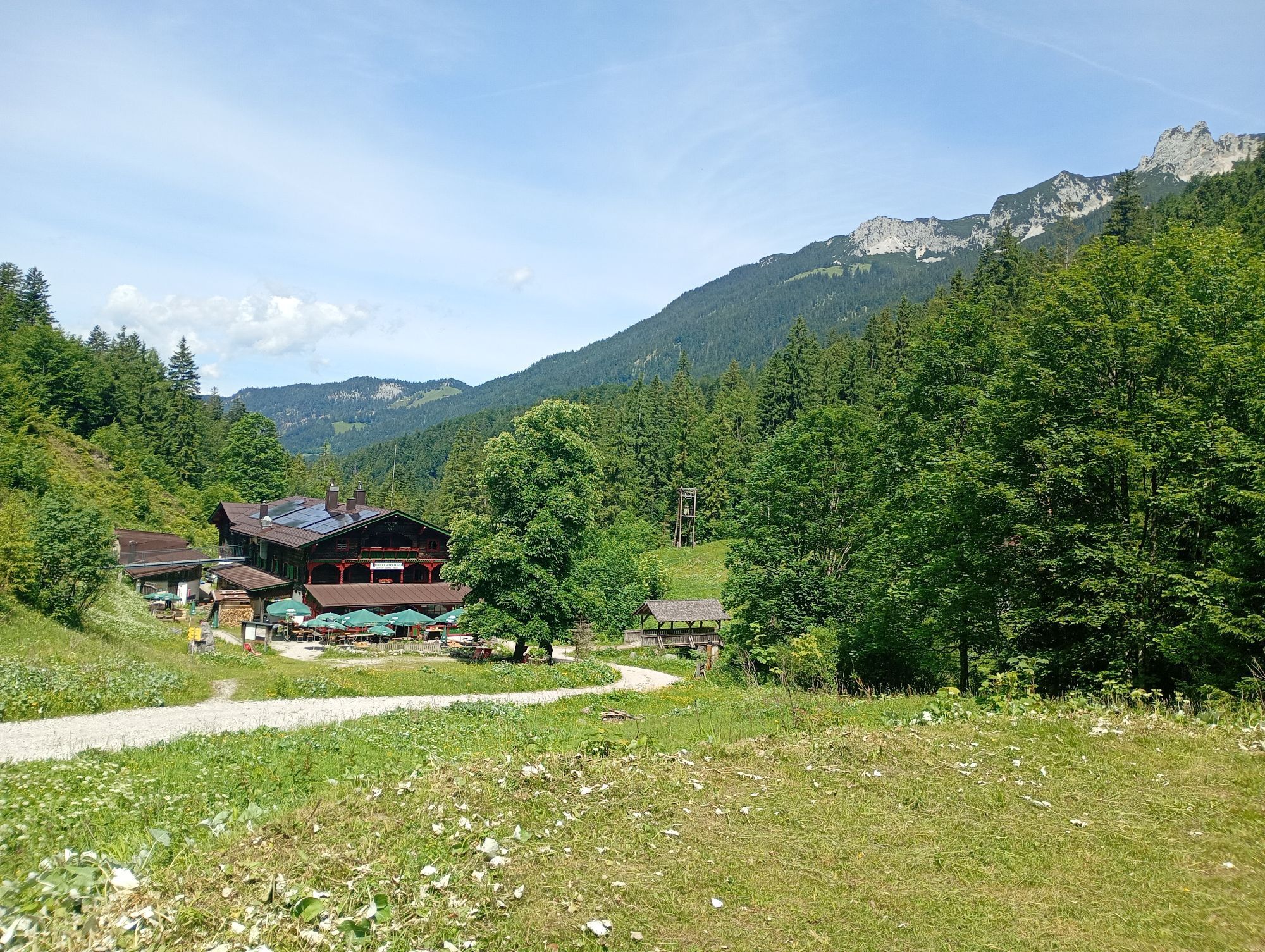
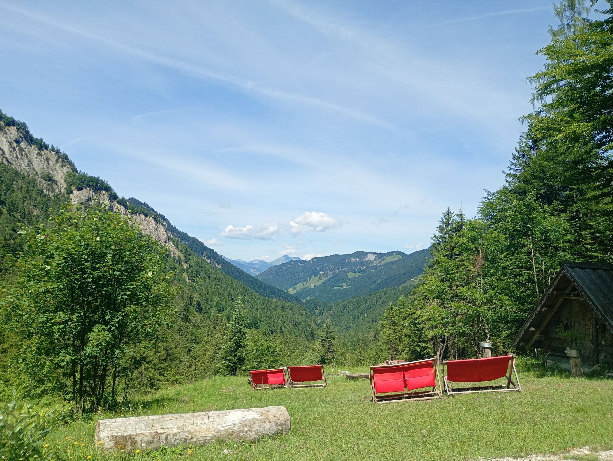
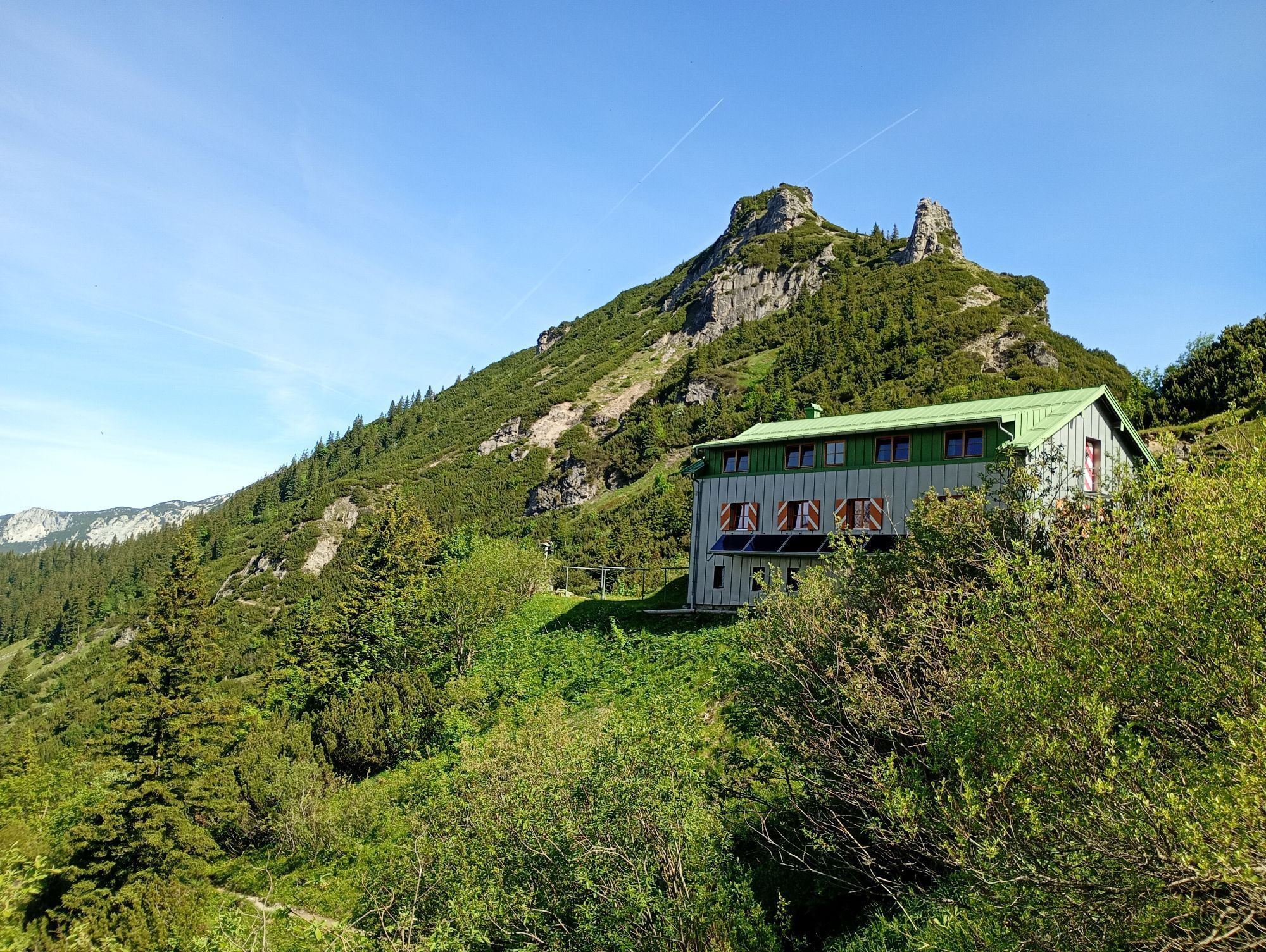
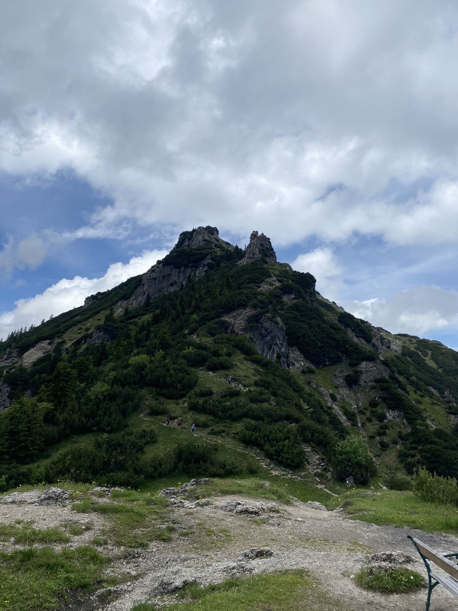
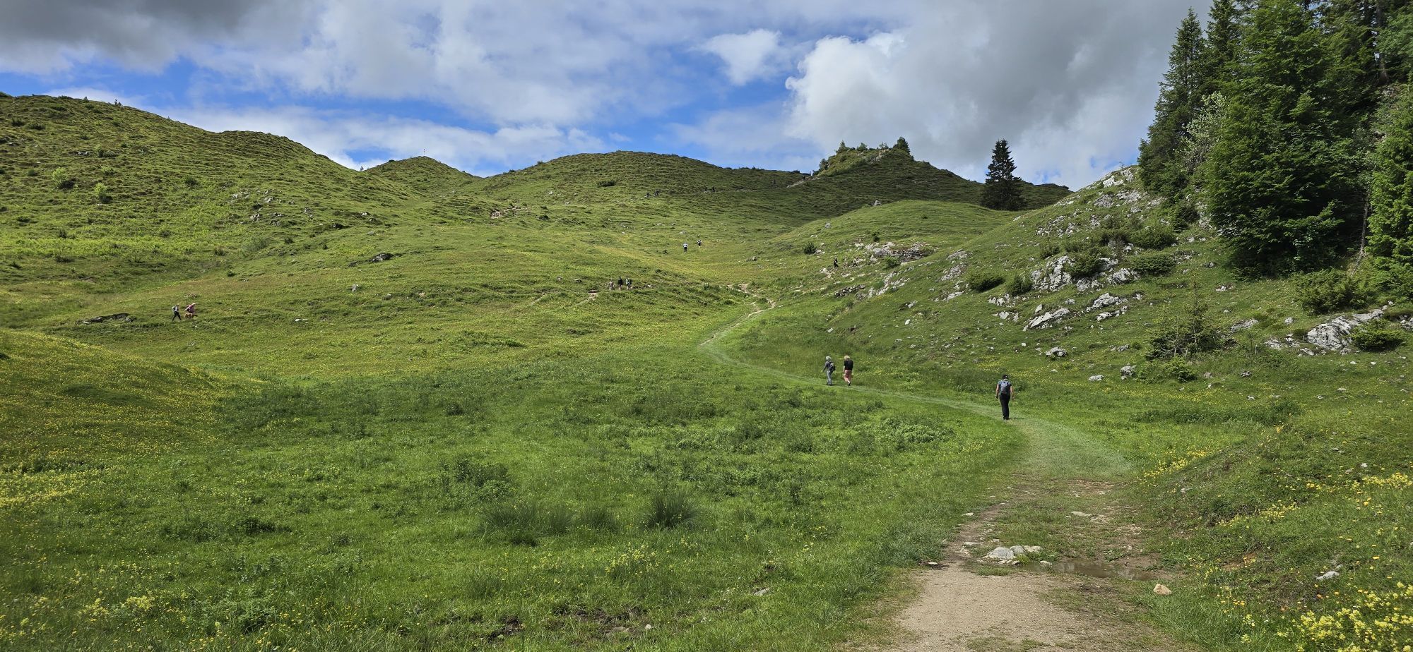
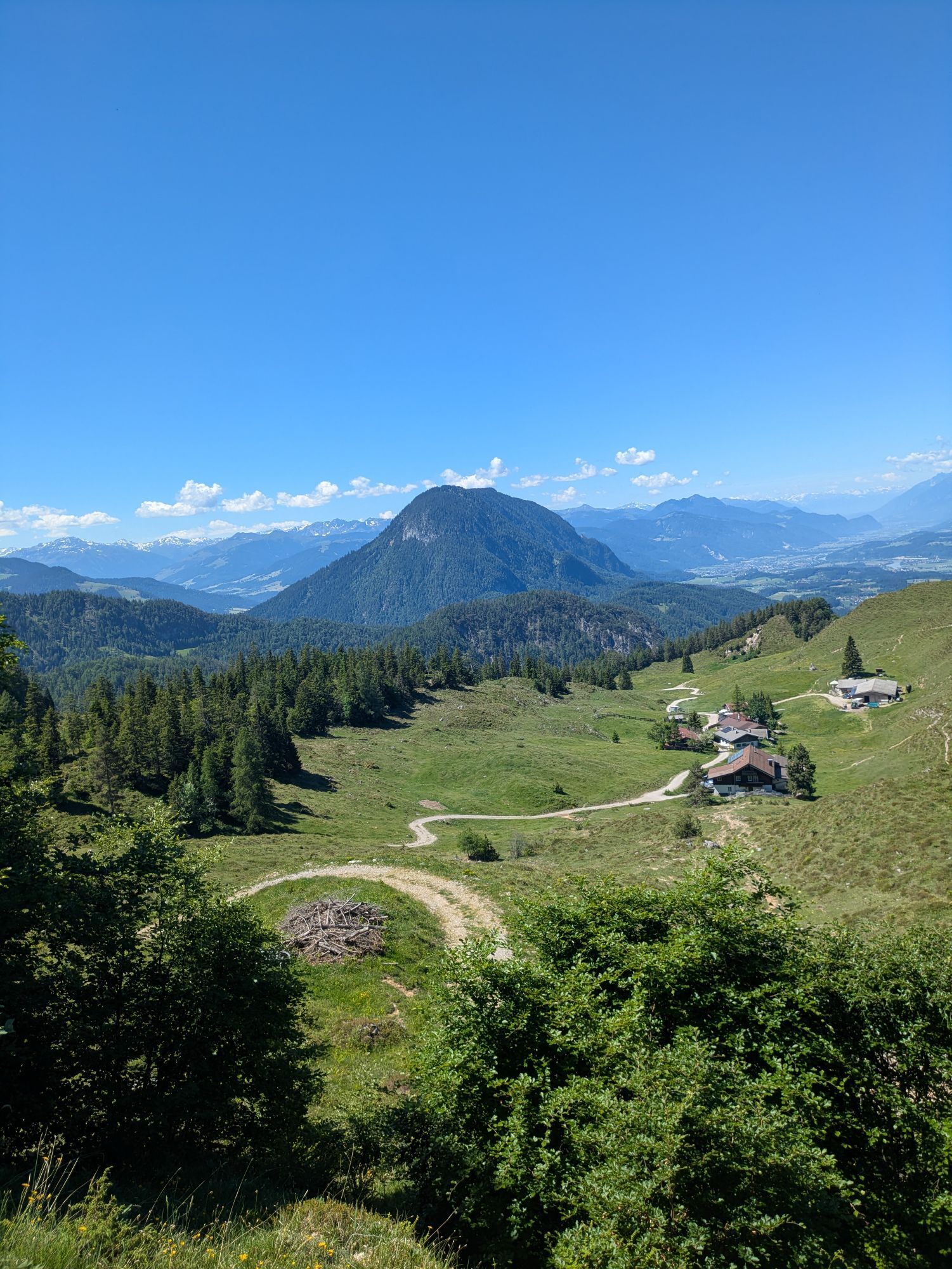
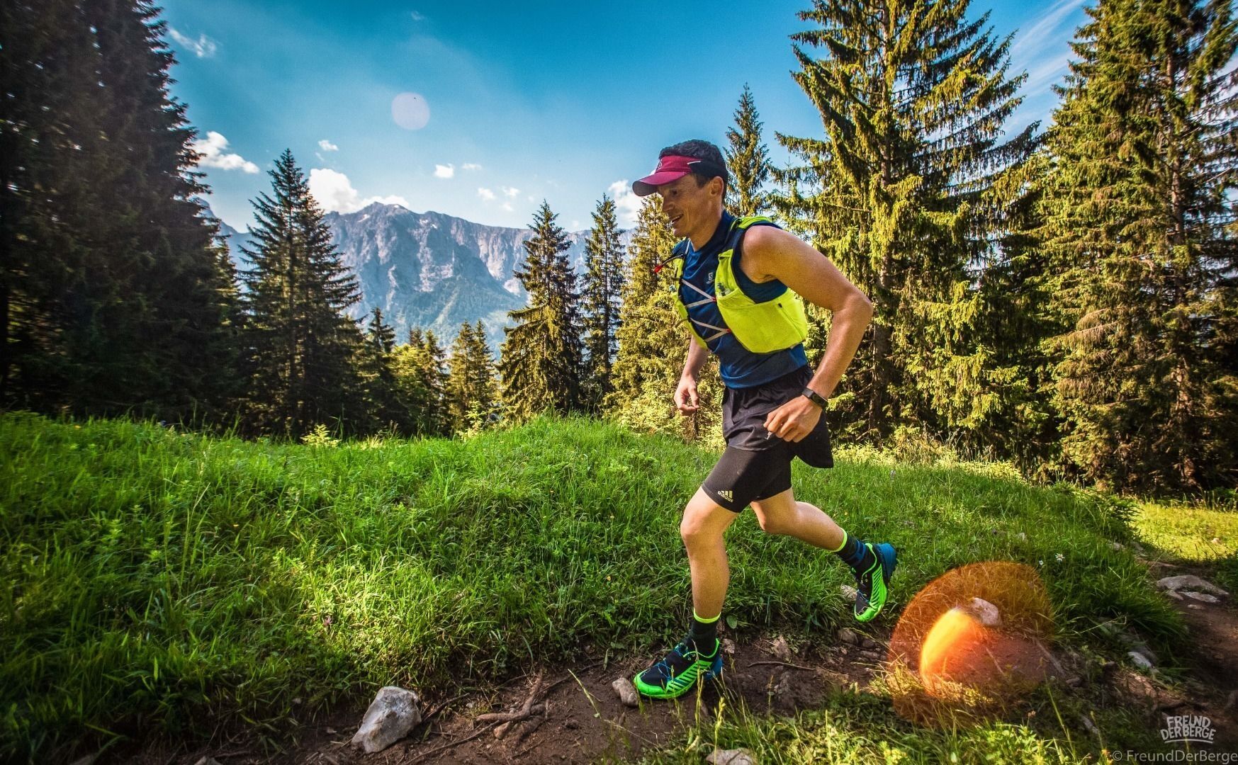
For the 50th Koasamarsch, a unique golden anniversary ultratrail was held. This took the place of the KOASA Marathon and is a succession of the most beautiful trails in the Kaiser Mountains. A very challenging...
For the 50th Koasamarsch, a unique golden anniversary ultratrail was held. This took the place of the KOASA Marathon and is a succession of the most beautiful trails in the Kaiser Mountains. A very challenging course with a huge trail portion is waiting for you.
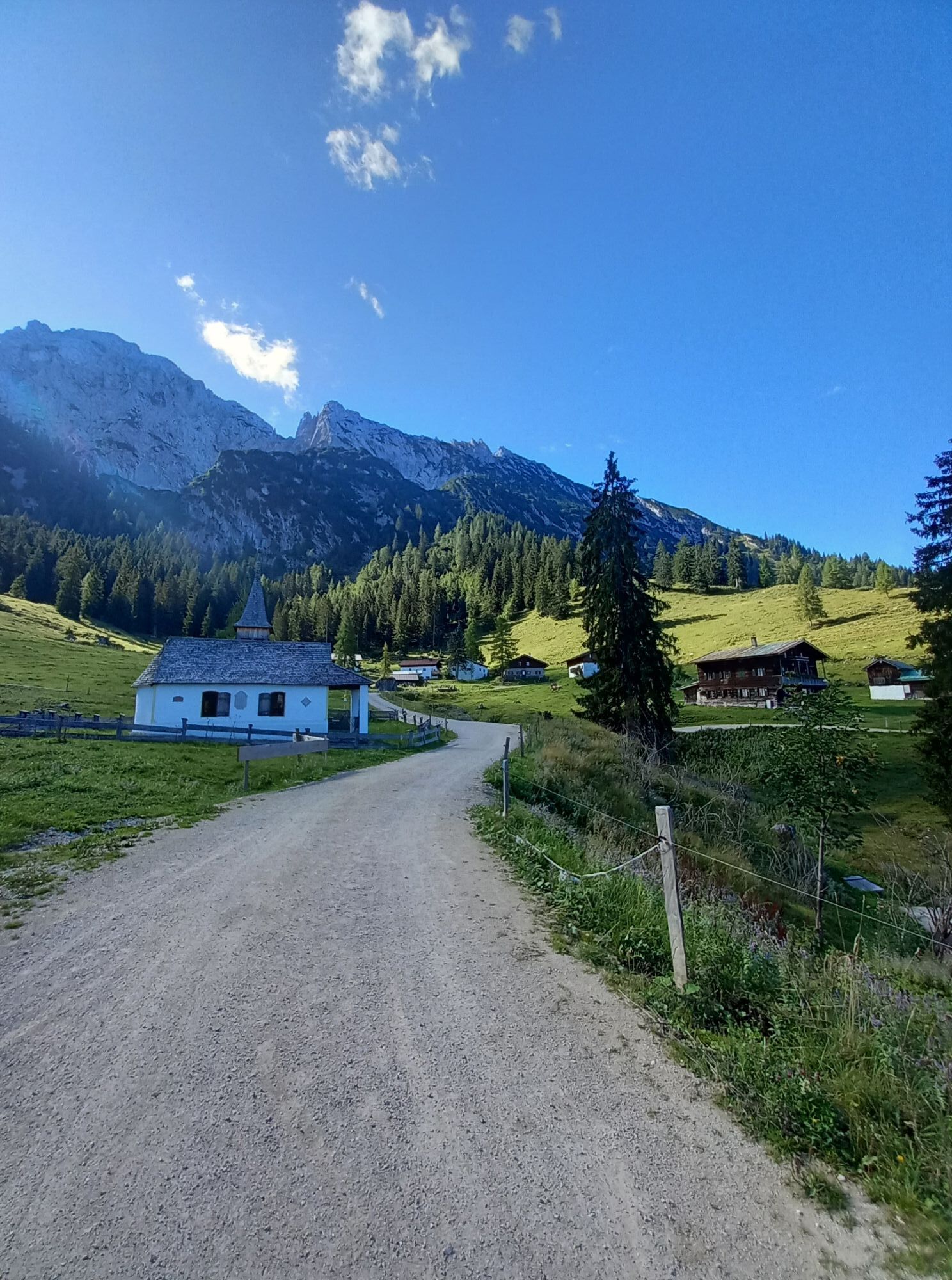
Starting in the center of Ebbs, the tour first leads along the asphalt road to Buchberg in the direction of Aschinger Alm. However, you do not head for this on a direct route, but take a small detour to leave the asphalt road. After the short plain following the chapel, take the path to the left to leave it shortly after into the forest. Via a forest road you finally reach the alpine pasture.
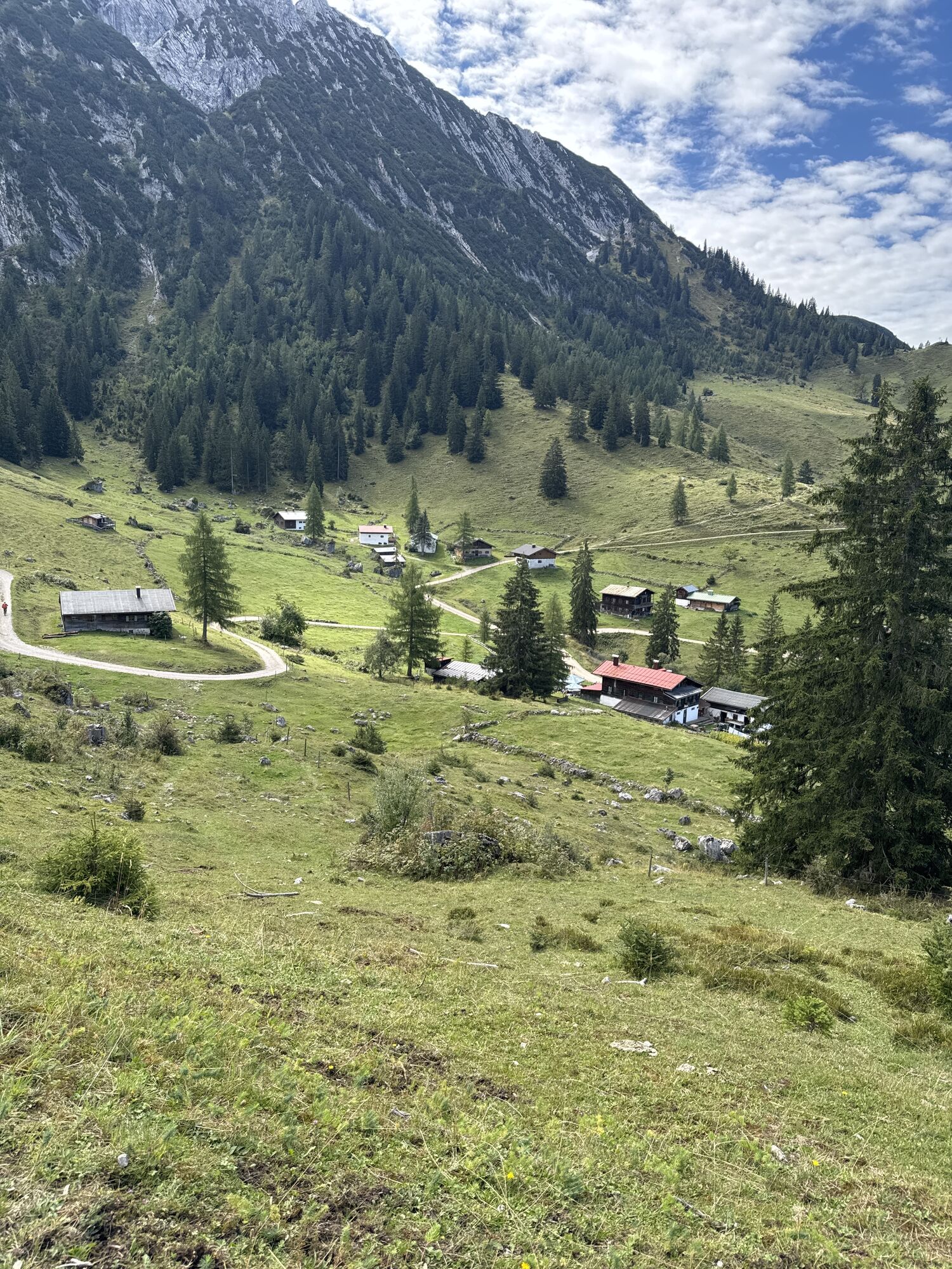
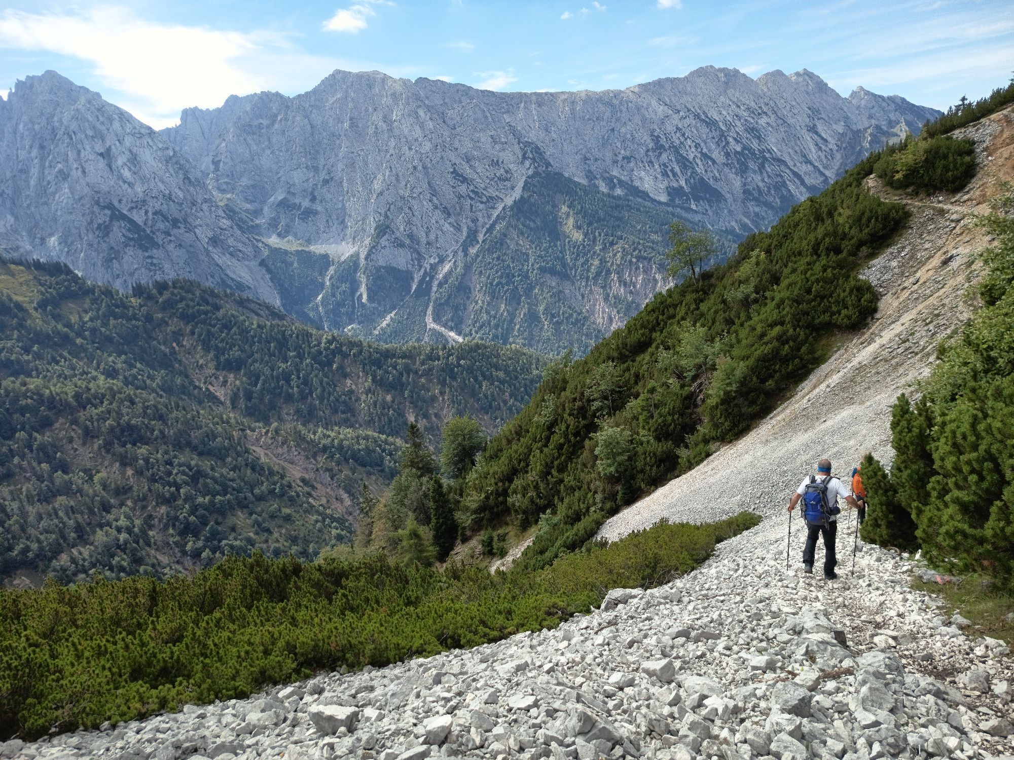
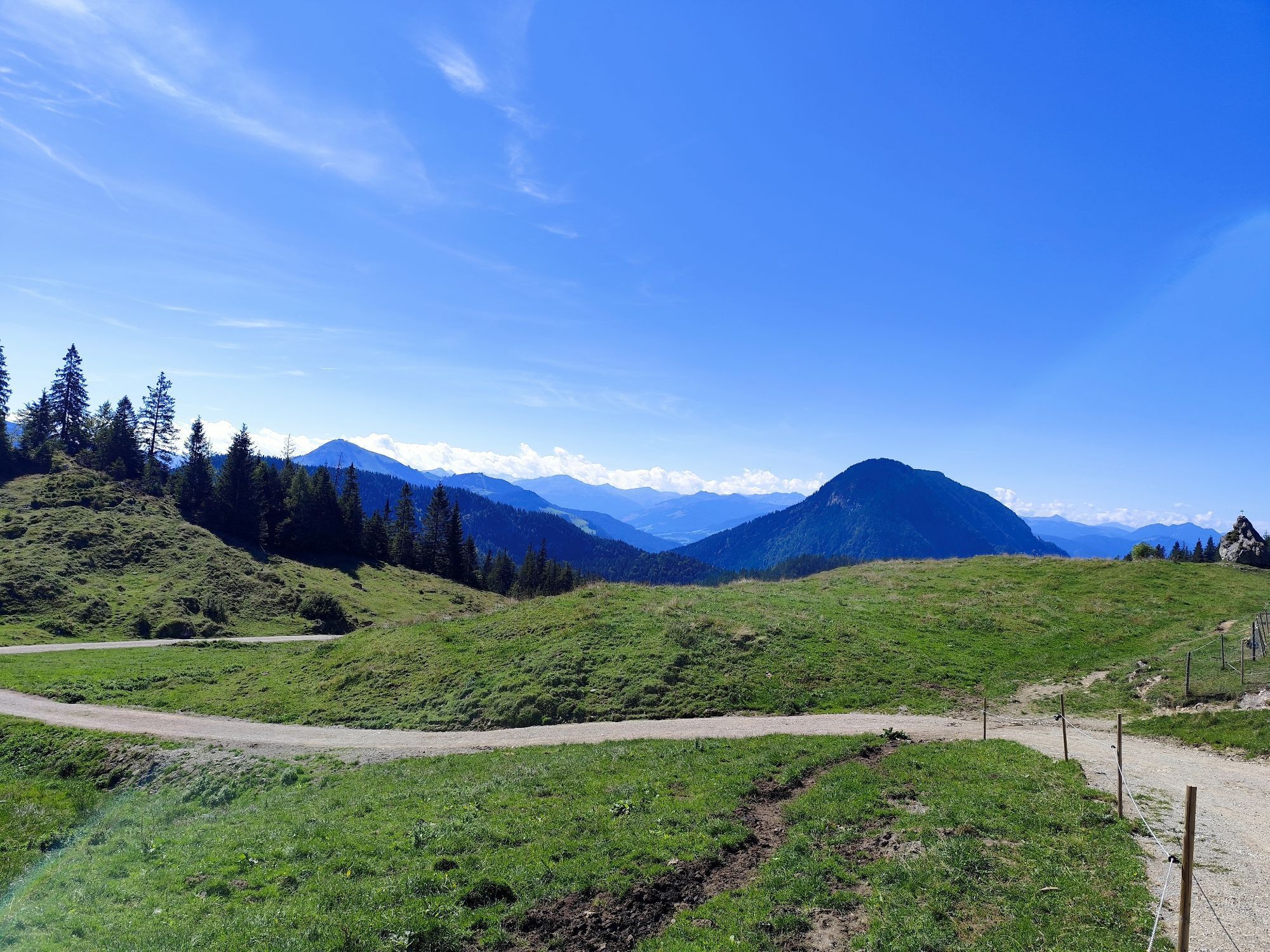
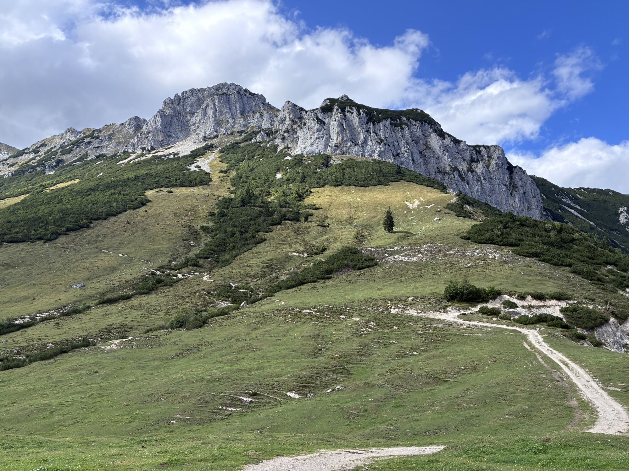
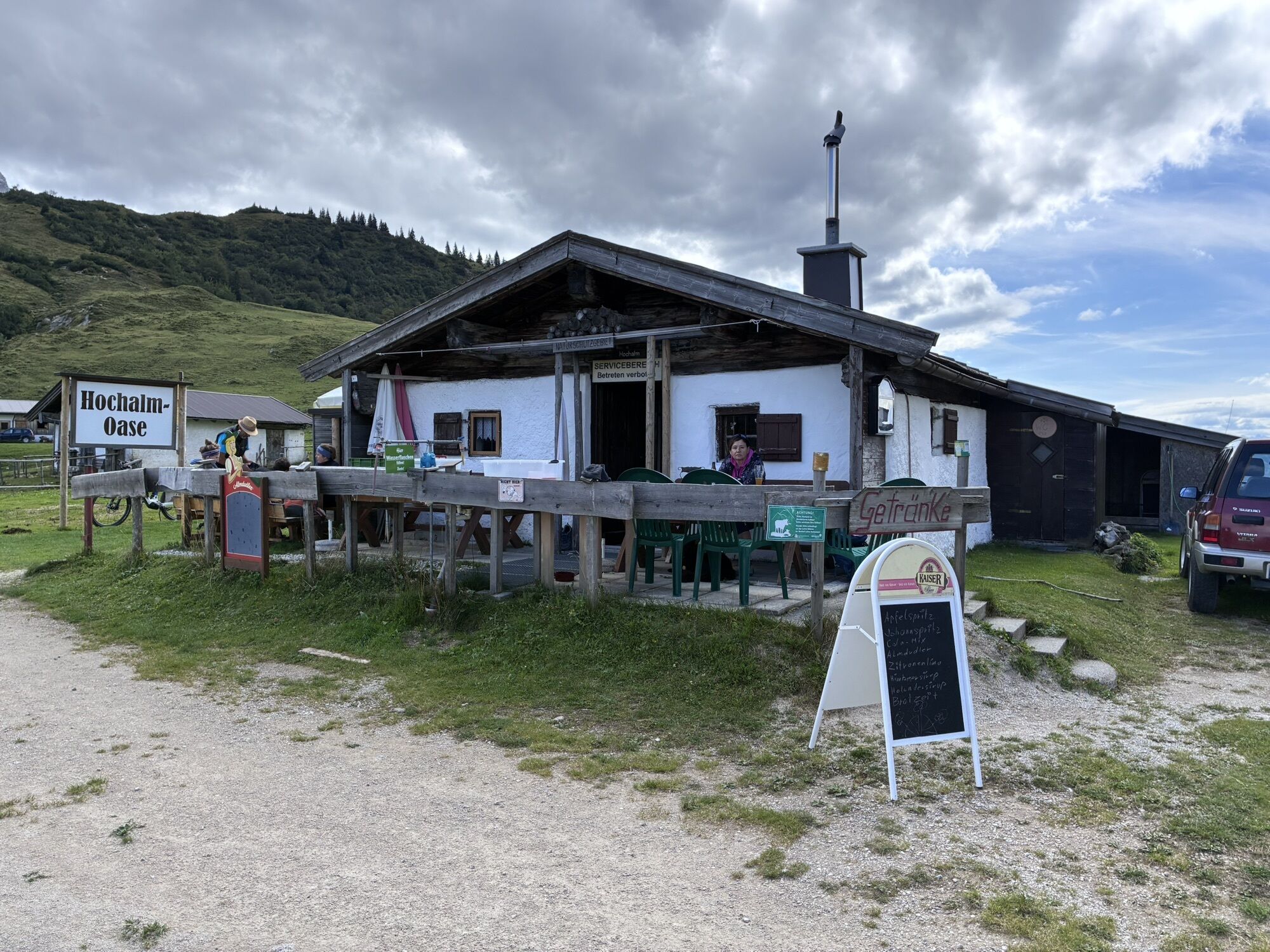
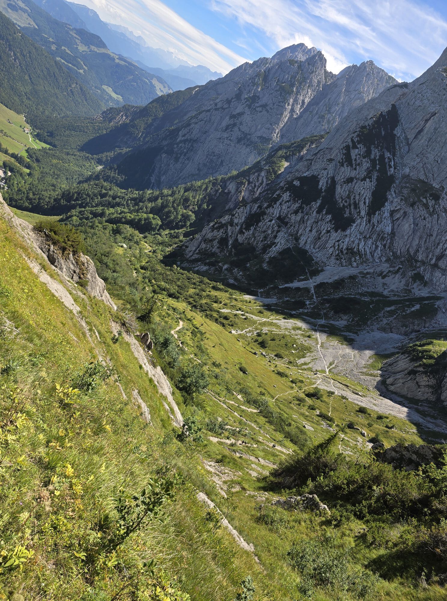
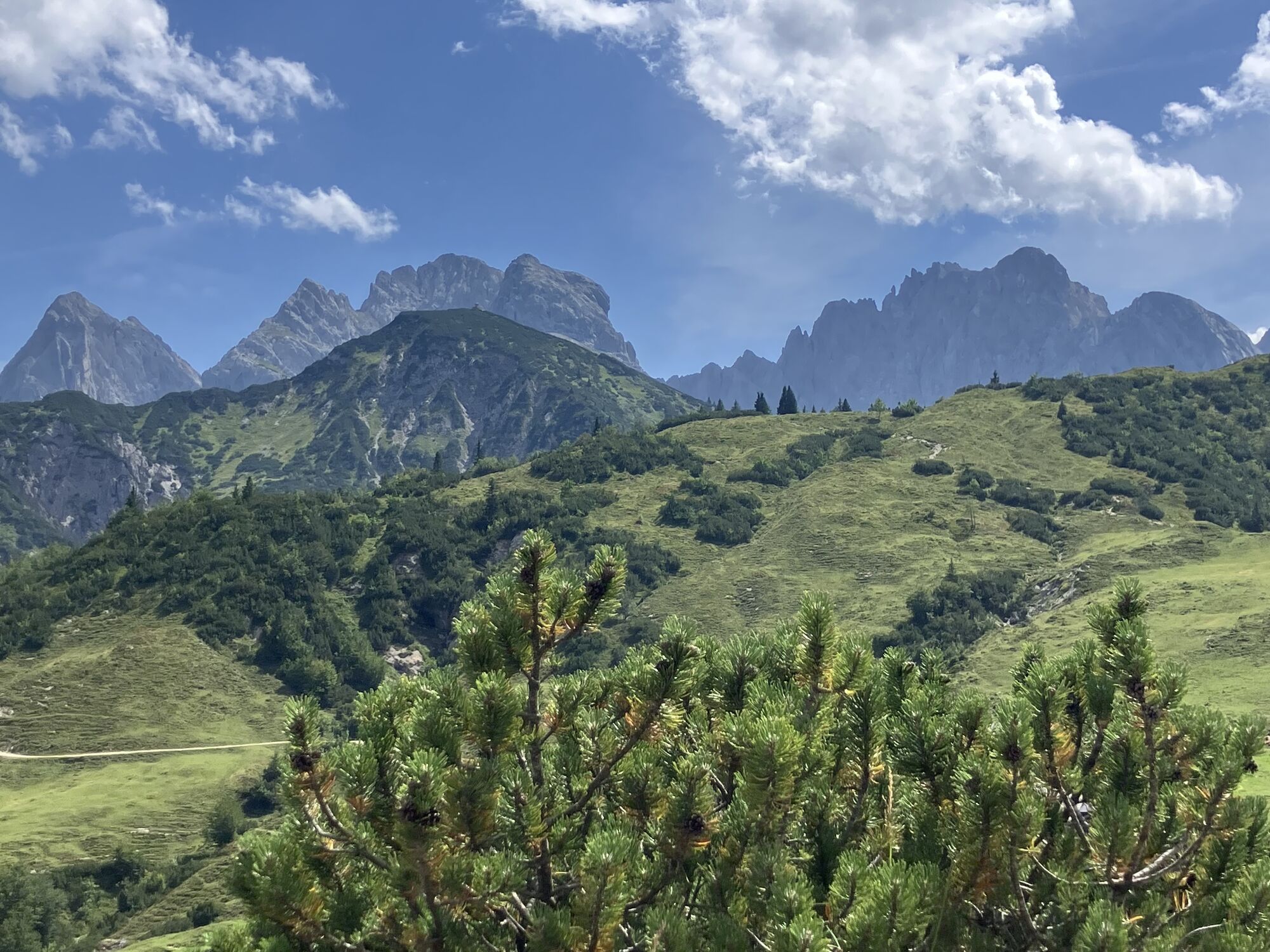
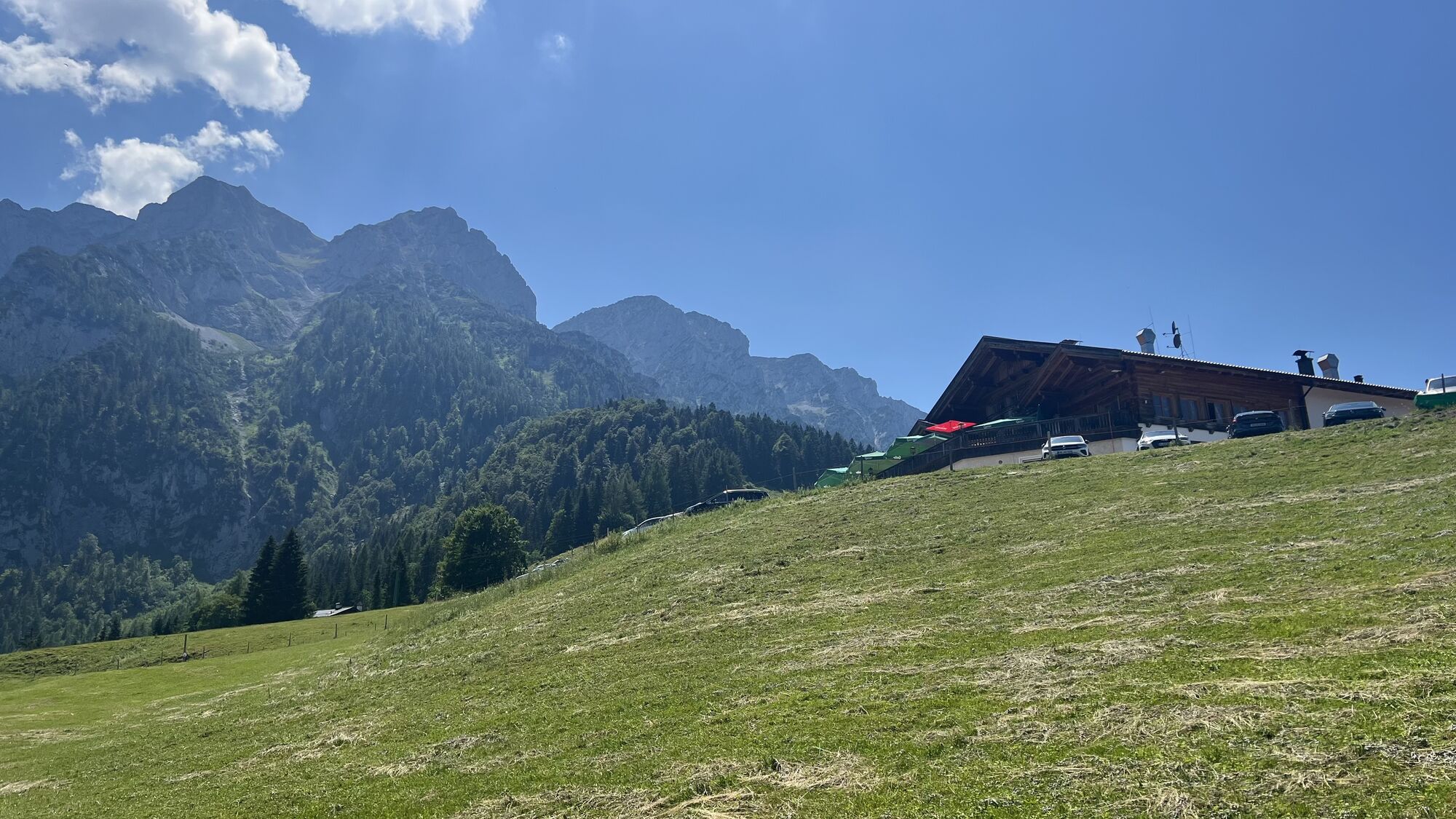
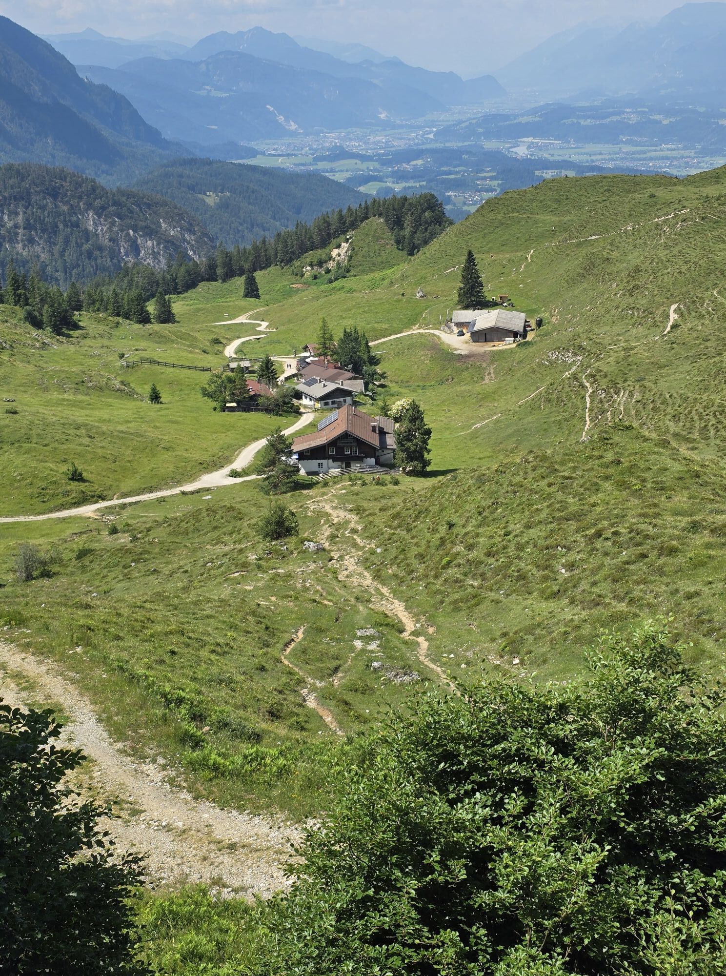
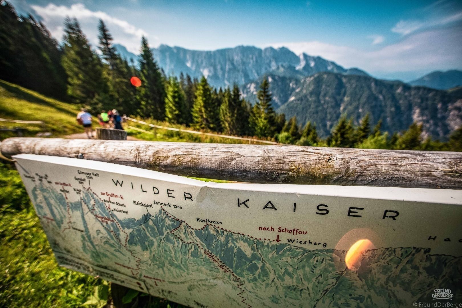
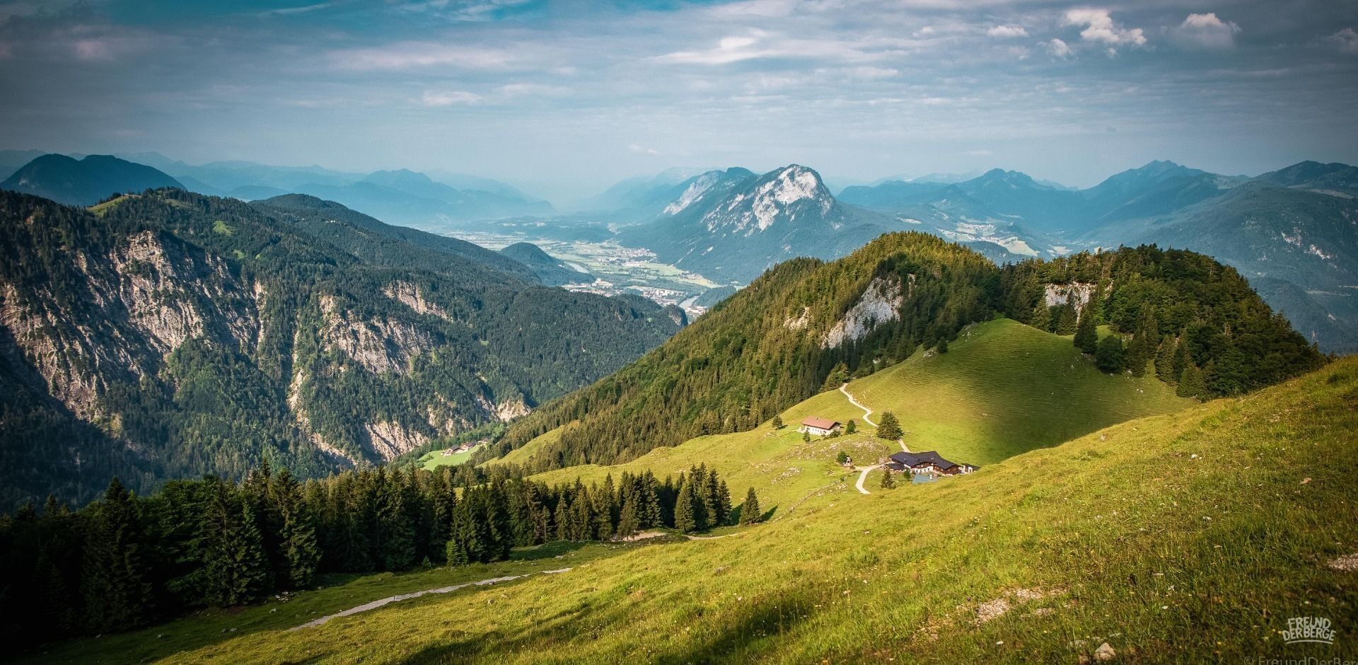
From there, go back a bit and at the Gasthaus Kölnberg cross the alpine meadows slightly uphill into the forest. There the trail part of the run starts. A short distance downhill you come across the Musikantensteig to the Vorderkaiserfeldenhütte. Here you have to use your energy well. The following part is steep, you overcome almost 700 meters of altitude in a few kilometers. Over the Zahmen Kaiser Höhenweg it goes now always with caution in the change up and down. Fantastic views of the Wilder Kaiser should not distract you too much due to the steepness. Over the irregularly opened Hochalm (the fountain with drinks is usually well filled, however), you overcome more meters in altitude to the Feldalmsattel.
From the flank of the Stripsenkopf one has then for the time being a short break from the altitude meters uphill. First flat to the Stripsenjochhaus, then steeply downhill into the Kaisertal, past the Hans-Berger-Haus and Anton-Karg-Haus (Hinterbärenbad). From there follows the second hard climb of the tour.
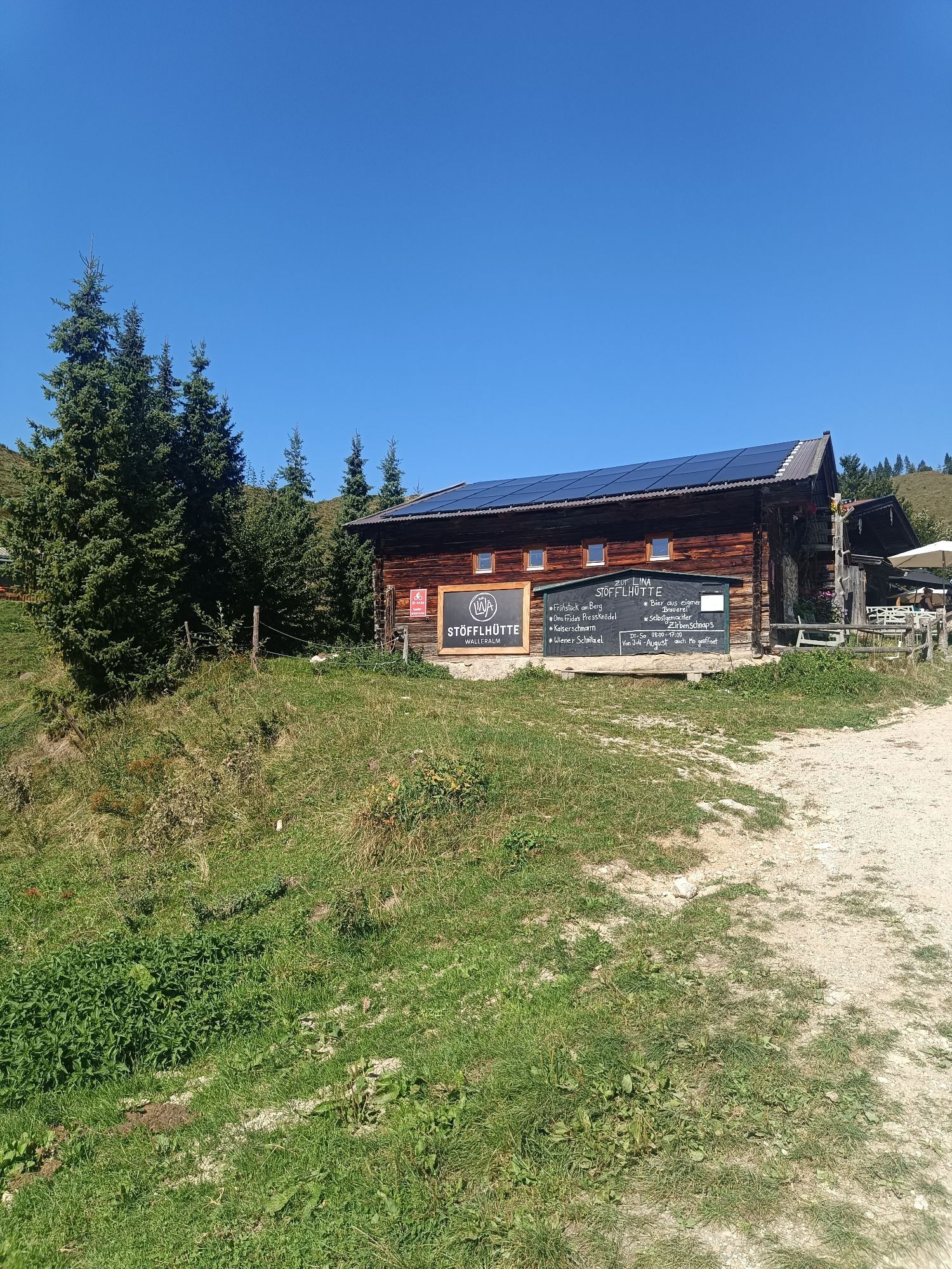
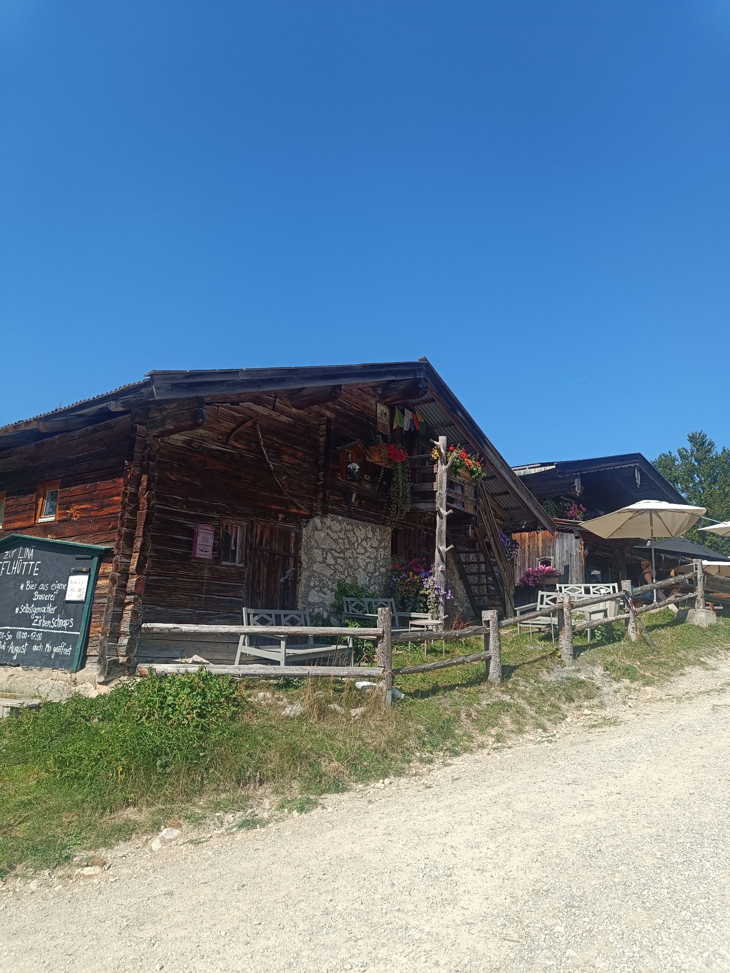
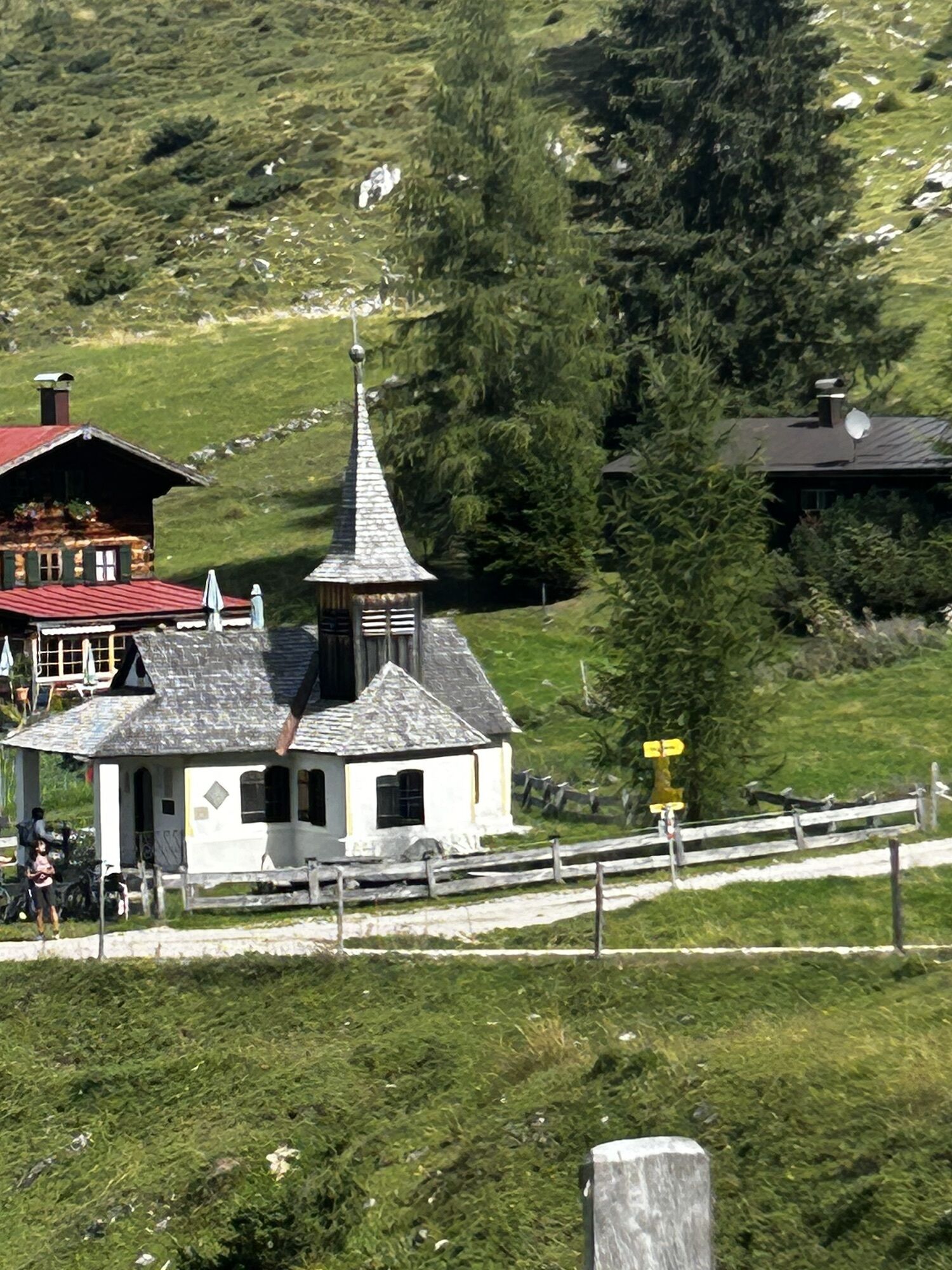
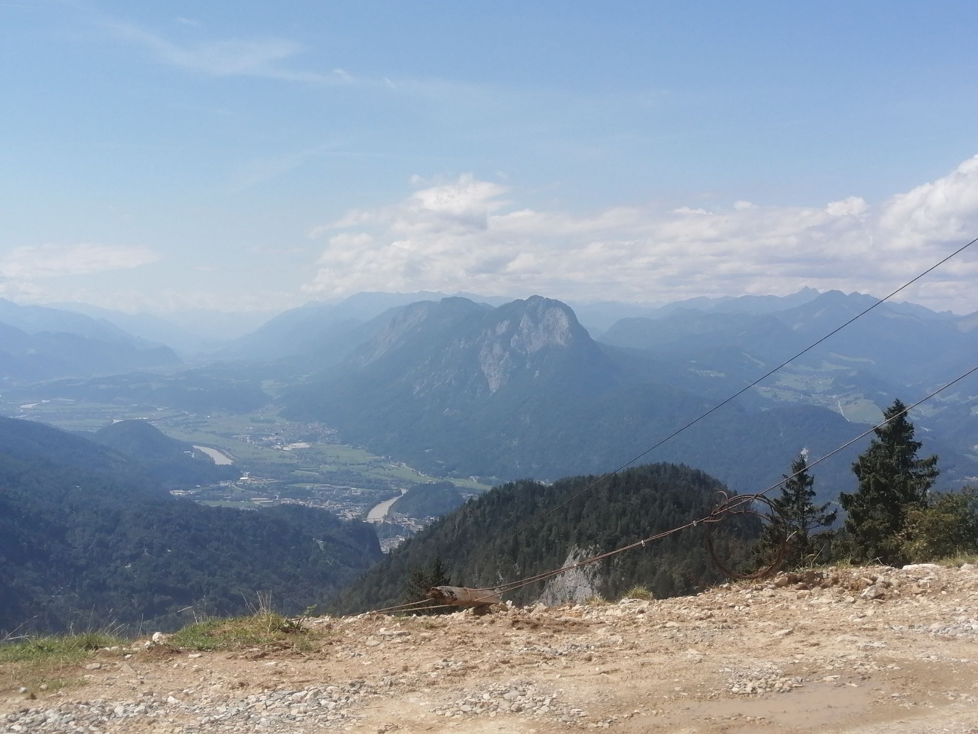
Via the Bettlersteig you overcome 500 meters of altitude at a stretch to the Steinbergalmen. There you walk past the Obere Steinbergalm and the Kaindlhütte a little further uphill to the Hochegg. Follow the path down to the Walleralm and on to Rechau. Now you circle the so-called "city mountain" of Kufstein. Via the Locherer Chapel, the Hochwacht continue again slightly uphill to the Duxer Alm. The turnoff to the Graben is somewhat difficult to find, as it is not signposted. Between the middle station of the lift and the alpine pasture, the path leads through a fence gate in a northerly direction. Following the trail, you reach the thicket chapel. There, follow the right path further down and at the fork follow the signs in the direction of Veitenhof.
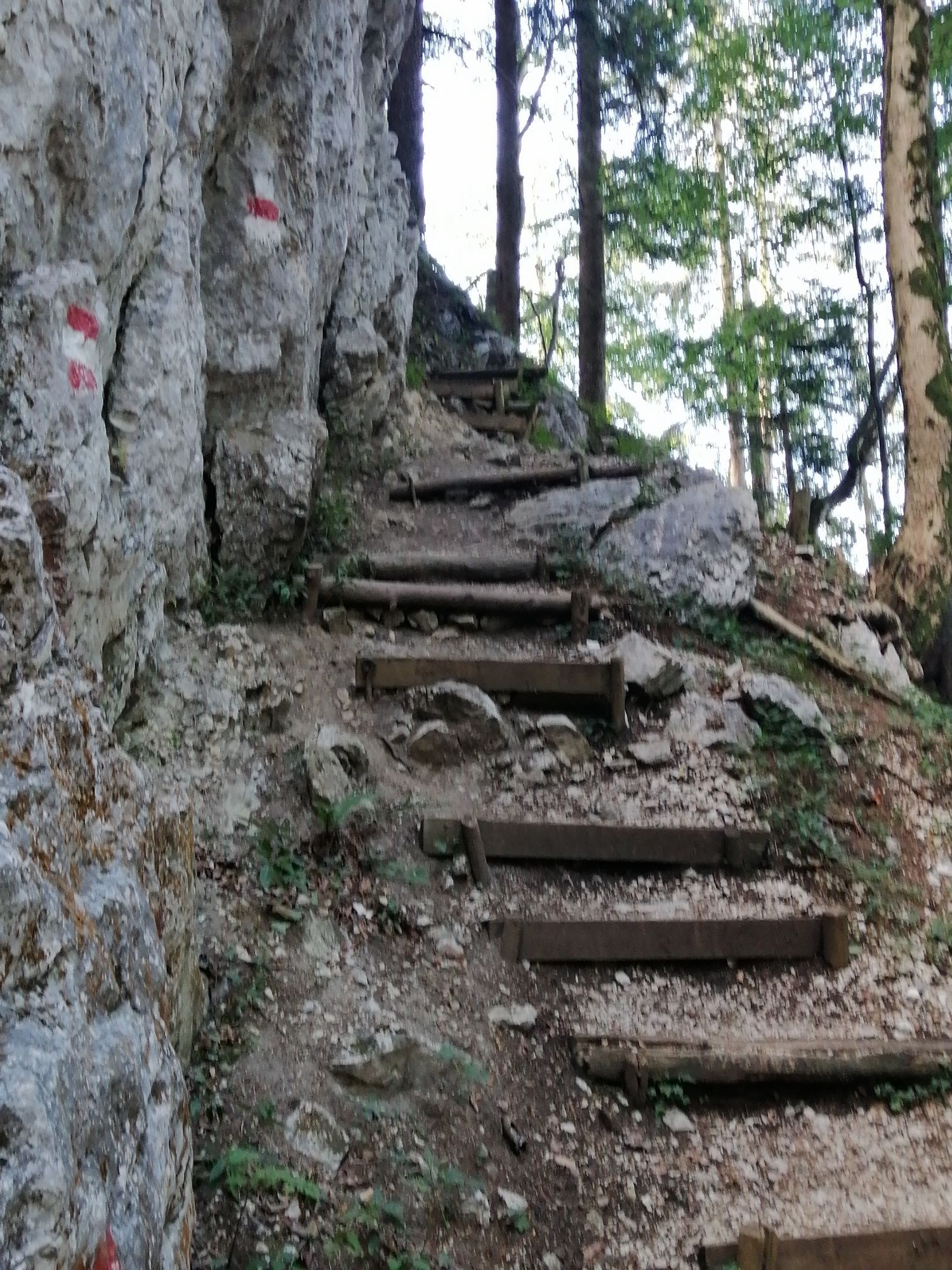
After a steep section downhill to the Kaiserbach, there is a last nasty, steep section uphill over iron steps. Now you just follow the path downhill out of the Kaisertal and from the entrance back to Ebbs.

From the Inntal motorway A12 take the Niederndorf/Oberaudorf exit. There follow the signs to the center of Ebbs.
Community office or church square, free of charge.
Webcams del recorrido

Rutas populares en los alrededores
-
4,7
Kirchdorf: Zur geheimnisvollen Teufelsgasse
medioSenderismo 7,90 km -
4,9
Kirchdorf: Kaiserbachtal - Stripsenkopf und Feldberg
pesadoSenderismo 12,6 km -
4,9
Schleierwasserfall Runde
medioSenderismo 5,63 km -
4,8
Gruttenhütte über Klammlweg
medioSenderismo 5,61 km -
5,0
Priener Hütte
medioSenderismo 7,99 km -
5,0
Kirchdorf: Stripsenjoch Klettersteige
pesadoVía ferrata 3,76 km -
4,8
Stripsenjoch Klettersteige/ Rundwanderung von Griesener Alm über Stripsenjochhaus und Feldberg
medioVía ferrata 10,2 km -
4,8
Ellmauer Tor (22.07.2020)
medioSenderismo 9,32 km -
4,8
Kössen - Wetterfahne - Naringalm - Kössen
medioSenderismo 11,0 km -
4,7
Musikantensteig zur Naunspitze
medioSenderismo 8,96 km

Senderismo y rastreo


No se pierda las ofertas y la inspiración para sus próximas vacaciones
Su dirección de correo electrónico se ha añadido a la lista de correo.





