


Recorrido Schattwald
Nivel de dificultad: 2
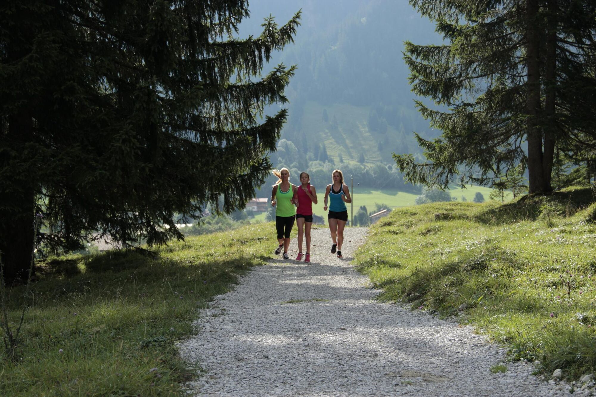
Disfruta de la arena de carrera y Nordic Walking del valle de Tannheimer
Ya seas un principiante sin aliento o un deportista de montaña en forma: en el valle de Tannheimer, todos obtienen lo que buscan,...
Ya seas un principiante sin aliento o un deportista de montaña en forma: en el valle de Tannheimer, todos obtienen lo que buscan, quienes desean moverse al aire libre y explorar las montañas circundantes a pie. Así, todos los activos, desde amateurs hasta profesionales, tienen cada día una gran variedad para elegir: la red de caminos más grande de Tirol ofrece 26 rutas señalizadas con un total de 186 kilómetros. Hay recorridos para principiantes así como carreras montañeras exigentes. Y para que todos los visitantes sepan qué camino se adapta a su condición y exigencias, un mapa especialmente preparado y pequeños paneles informan sobre el perfil de altura, la dificultad y la longitud de la ruta: el mapa de carrera y Nordic Walking.
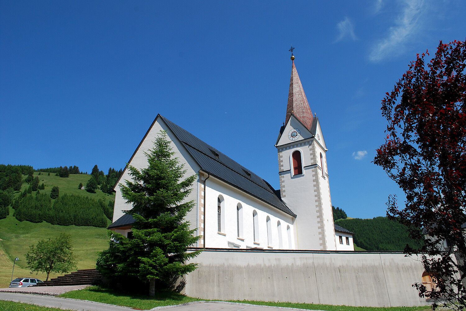
A través de praderas, sobre pastos verdes, junto a lagos de montaña cristalinos... Caminar y correr en el valle de Tannheimer no solo es el mejor entrenamiento para el cuerpo, sino sobre todo un bálsamo para el alma. Los puntos de partida para todos los entusiastas se encuentran en los seis pueblos de Tannheim, Grän-Haldensee, Nesselwängle-Haller, Zöblen, Schattwald y Jungholz.


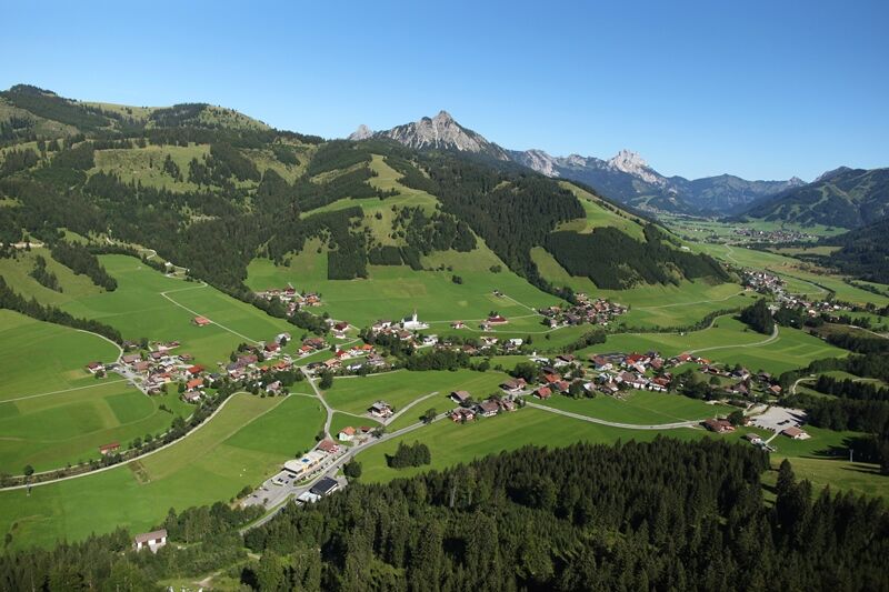
Desde la casa comunal en Schattwald hacia el oeste hasta la primera posibilidad, aquí giramos a la derecha hasta el puente Vilsbrücke. A lo largo del Vils hasta la carretera federal, continuamos paralelos a esta. En la siguiente bifurcación dirección oeste y a través del barrio Fricken hasta el barrio Kappel, aquí giramos dos veces a la izquierda y seguimos el camino a lo largo del Vils de regreso al punto de inicio.
El equipo personal debe ser seguro y funcional y cumplir con el estándar técnico correspondiente. Se recomienda a cada persona informarse en literatura especializada o en el lugar sobre las rutas planificadas. ¡Equipo completo absolutamente recomendado incluso para los experimentados!
Se debe tener en cuenta que en el deporte de carrera y caminata nórdica existe un mayor riesgo de accidentes y lesiones. A pesar de una planificación cuidadosa de las rutas, siempre permanece un riesgo básico. Una preparación para la ruta mediante ejercicios de resistencia, entrenamiento técnico adecuado y formación, así como precauciones personales, reduce el riesgo de accidentes y peligros.
En la autopista A7, tome la salida "Oy-Mittelberg" hacia la B310 en dirección a Wertach y luego a Oberjoch. Allí siga la señalización "Tannheimer Tal" B199 hasta Schattwald. Desde el lado tirolés, pasando por Reutte por la B198 hacia Lechtal hasta Weißenbach, por el paso Gaicht a lo largo de la B199 hasta Schattwald.
En tren hasta Sonthofen, Pfronten/Ried o Reutte, y luego en autobús hasta Schattwald.
Aparcamiento junto a la casa comunal en Schattwald - de pago
2
Tourism info Tannheimer Tal
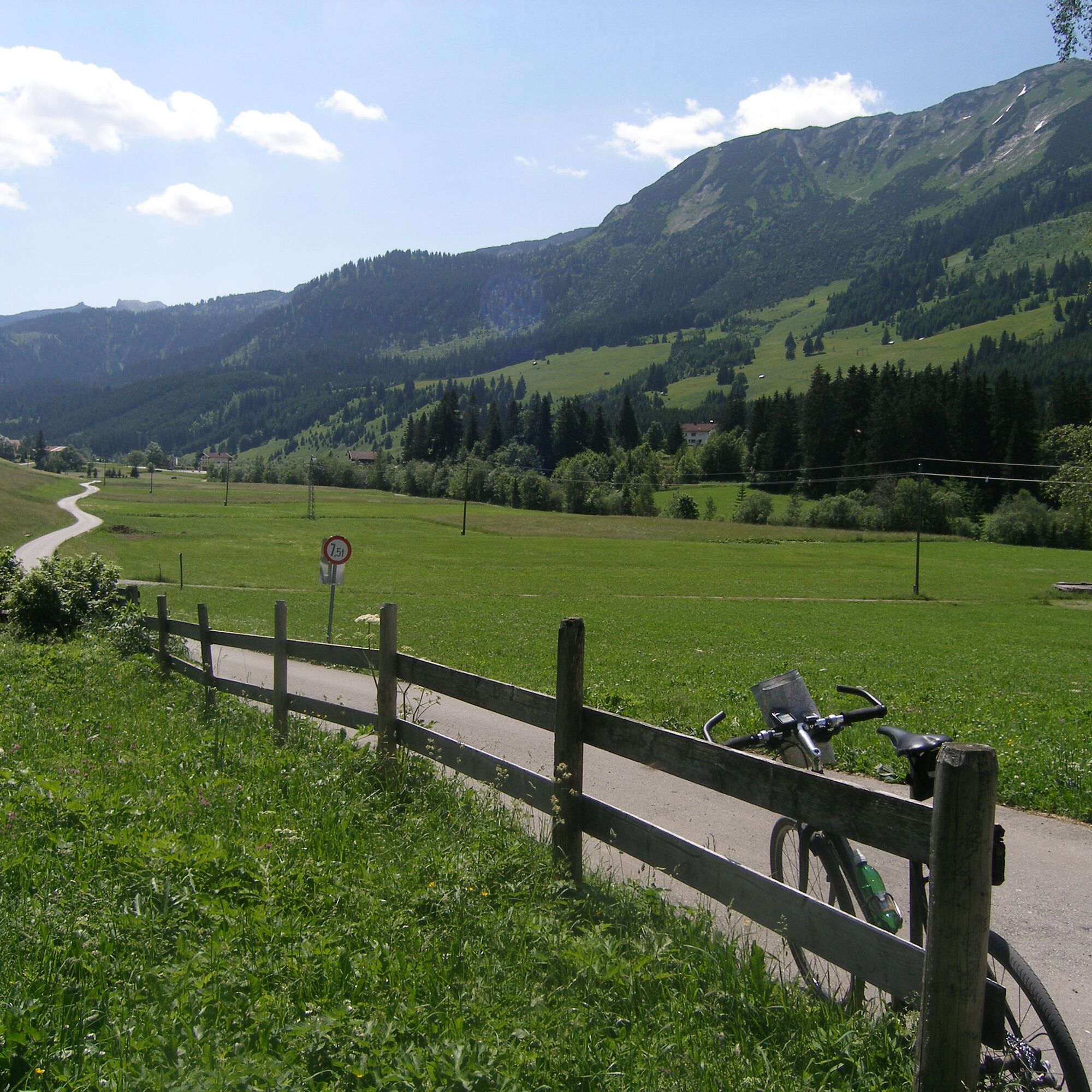
Bonito camino asfaltado a lo largo del Vils.
Rutas populares en los alrededores
-
4,8
Alrededor del Weißensee.
luzSenderismo 6,12 km -
5,0
Excursión de montaña por el Breitenberg
pesadoSenderismo 15,6 km -
5,0
Gemeinde Grän, Tirol/Österreich Aggenstein Rundtour über Höhenweg
medioSenderismo 9,84 km -
4,4
Caminata por Höllschlucht » Agua y bosque
medioSenderismo 7,38 km -
4,9
Tannheim / Vilsalpsee / Landsberger Hütte
medioSenderismo 15,7 km -
4,8
Unterer Gaisalpsee
medioExcursión de alta montaña 8,64 km -
4,2
Excursión de los tres lagos (galardonada con el sello de calidad Tiroler Bergwege)
medioSenderismo 14,8 km -
3,9
Klassikertour: Auf den Grünten
pesadoSenderismo 8,50 km -
4,8
3-Gipfel-Tour
medioSenderismo 11,2 km -
4,8
Iseler und Kühgundkopf
medioSenderismo 7,63 km
Senderismo y rastreo


No se pierda las ofertas y la inspiración para sus próximas vacaciones
Su dirección de correo electrónico se ha añadido a la lista de correo.