






Kaiserkrone - stage 3
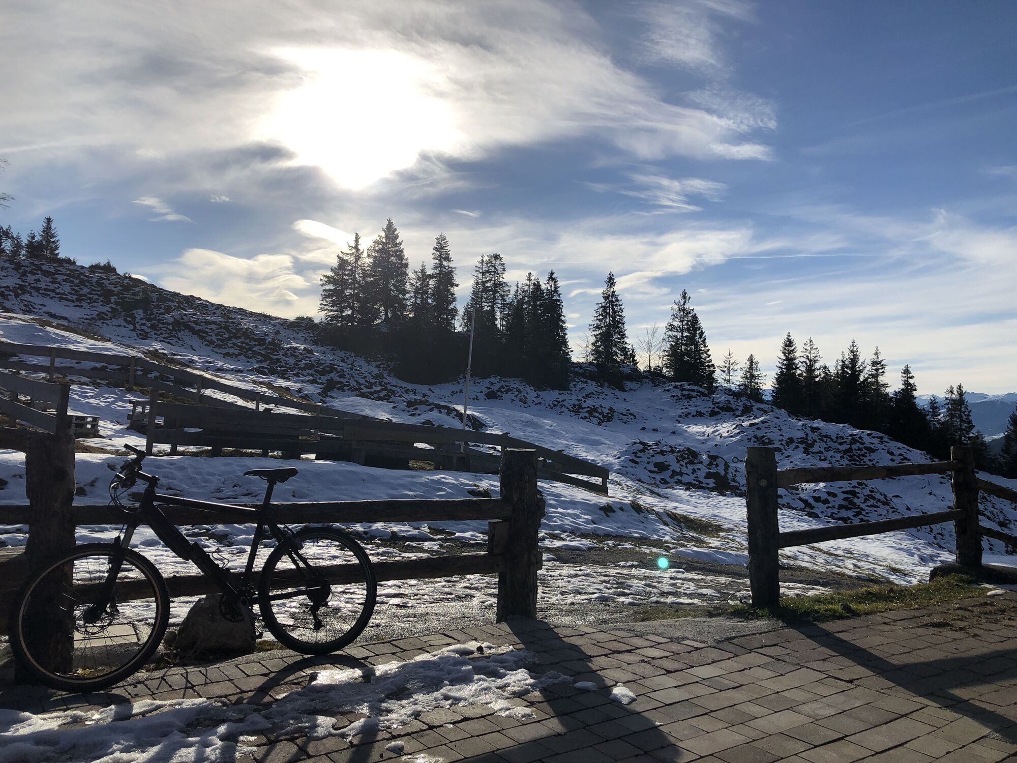
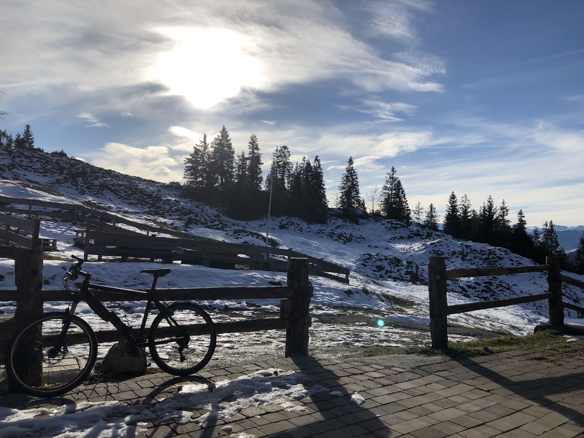
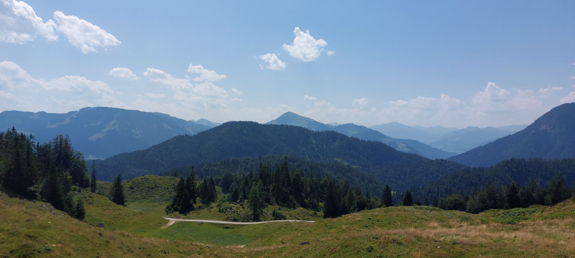
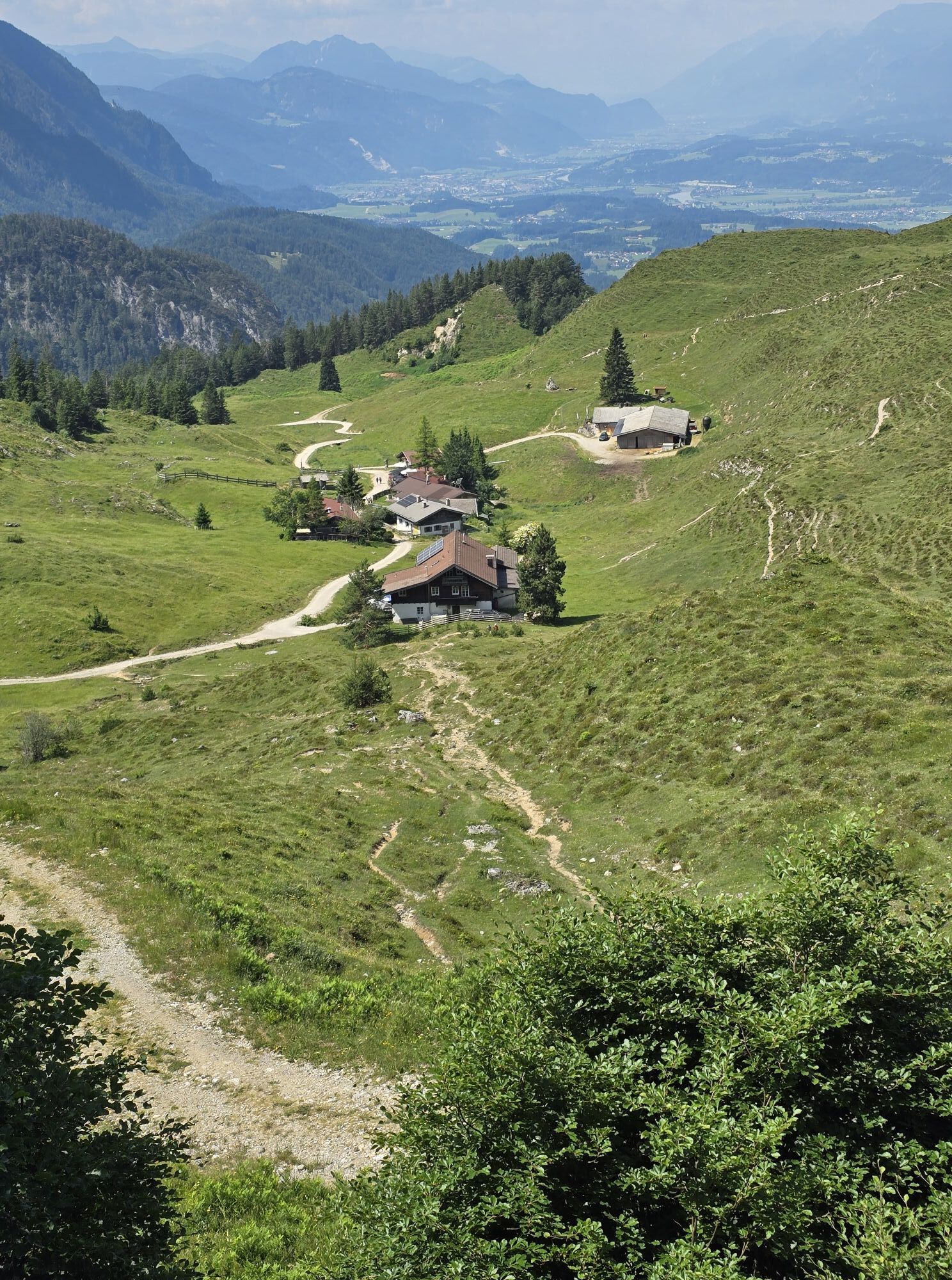
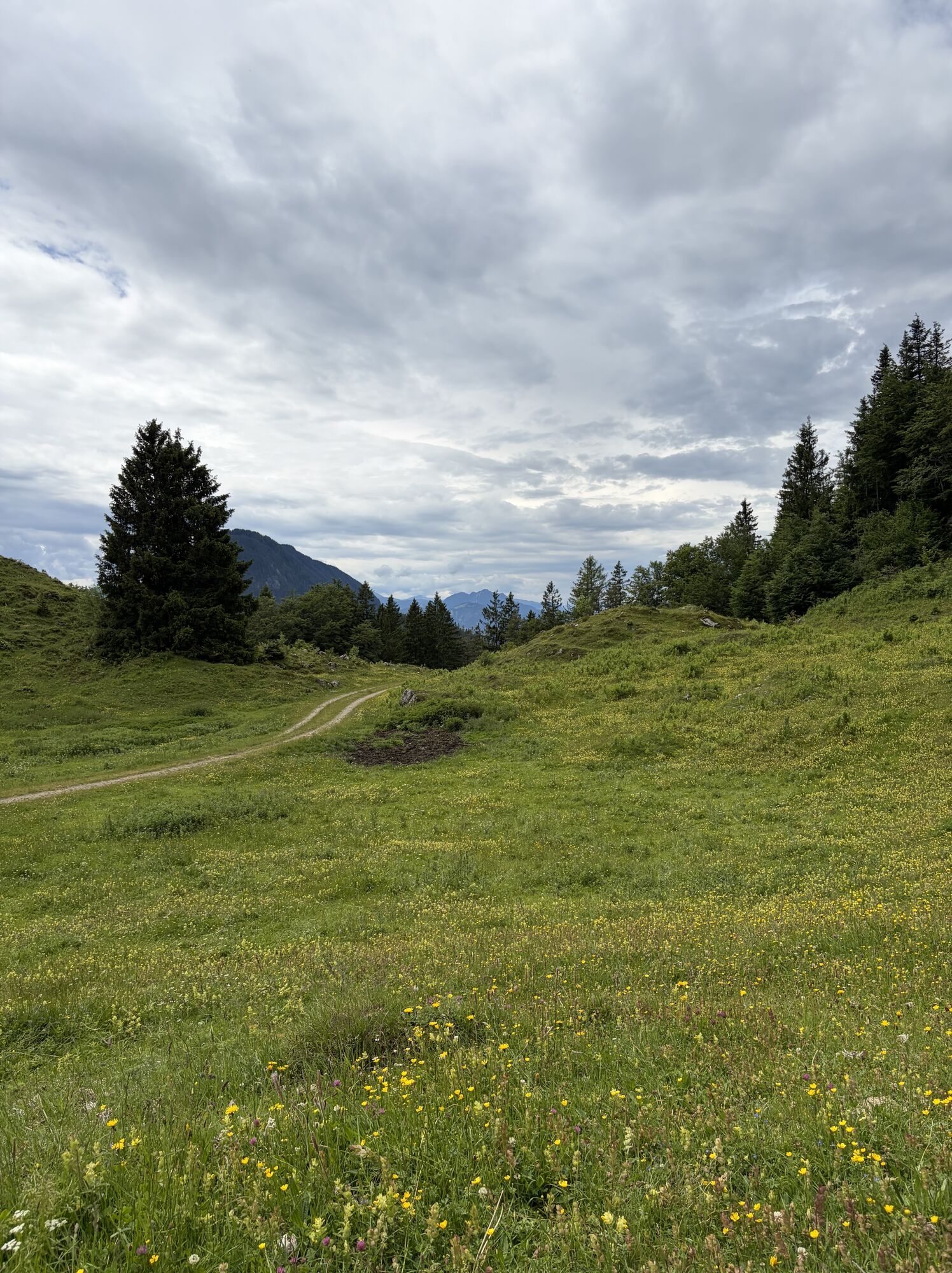
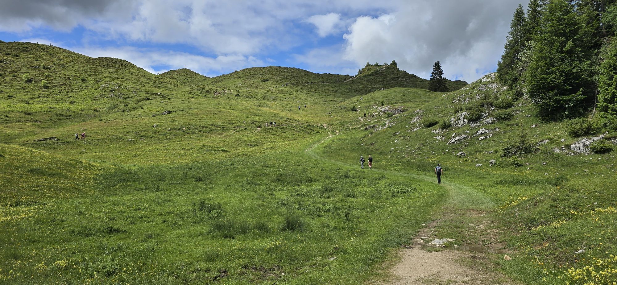
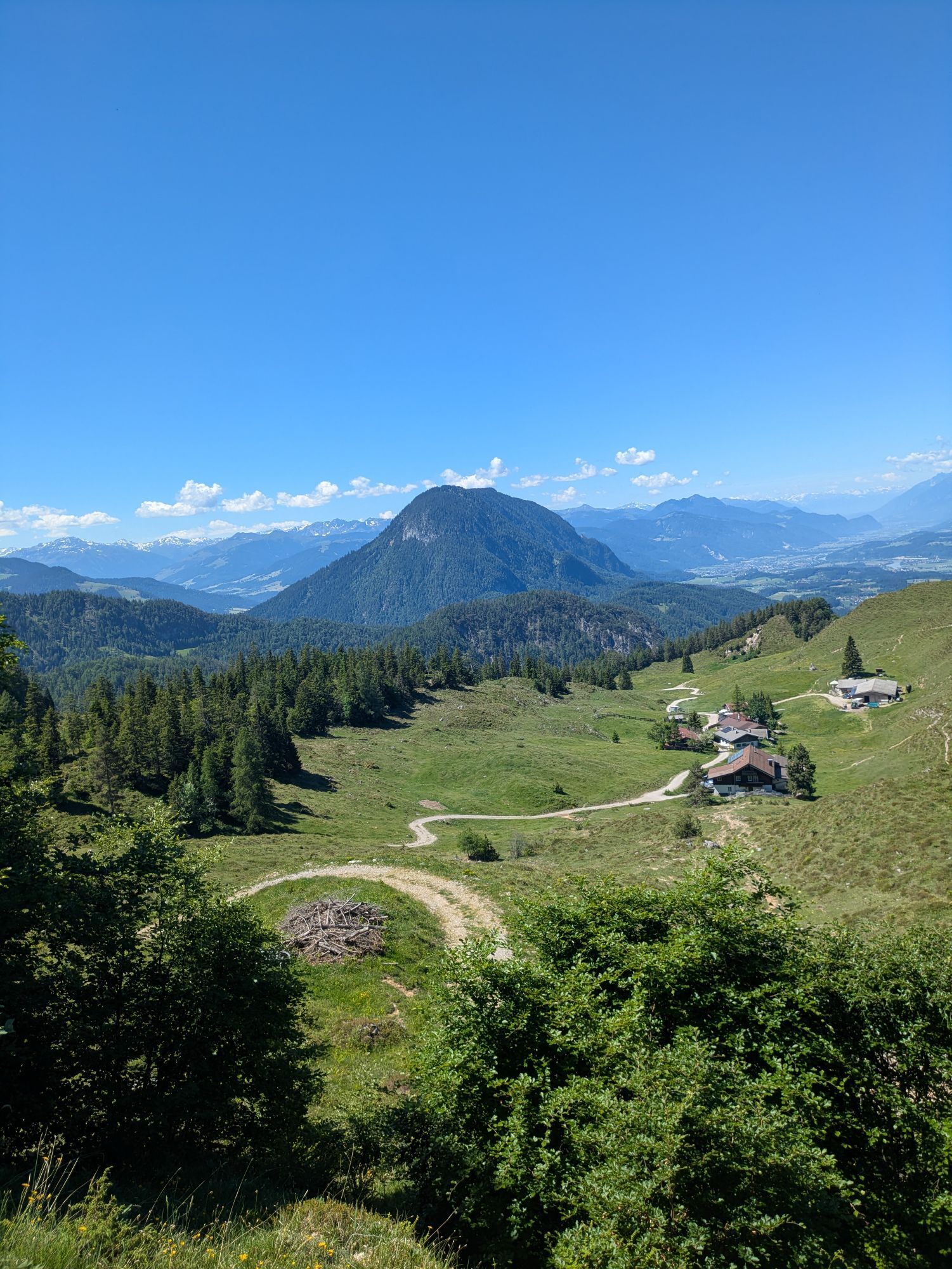
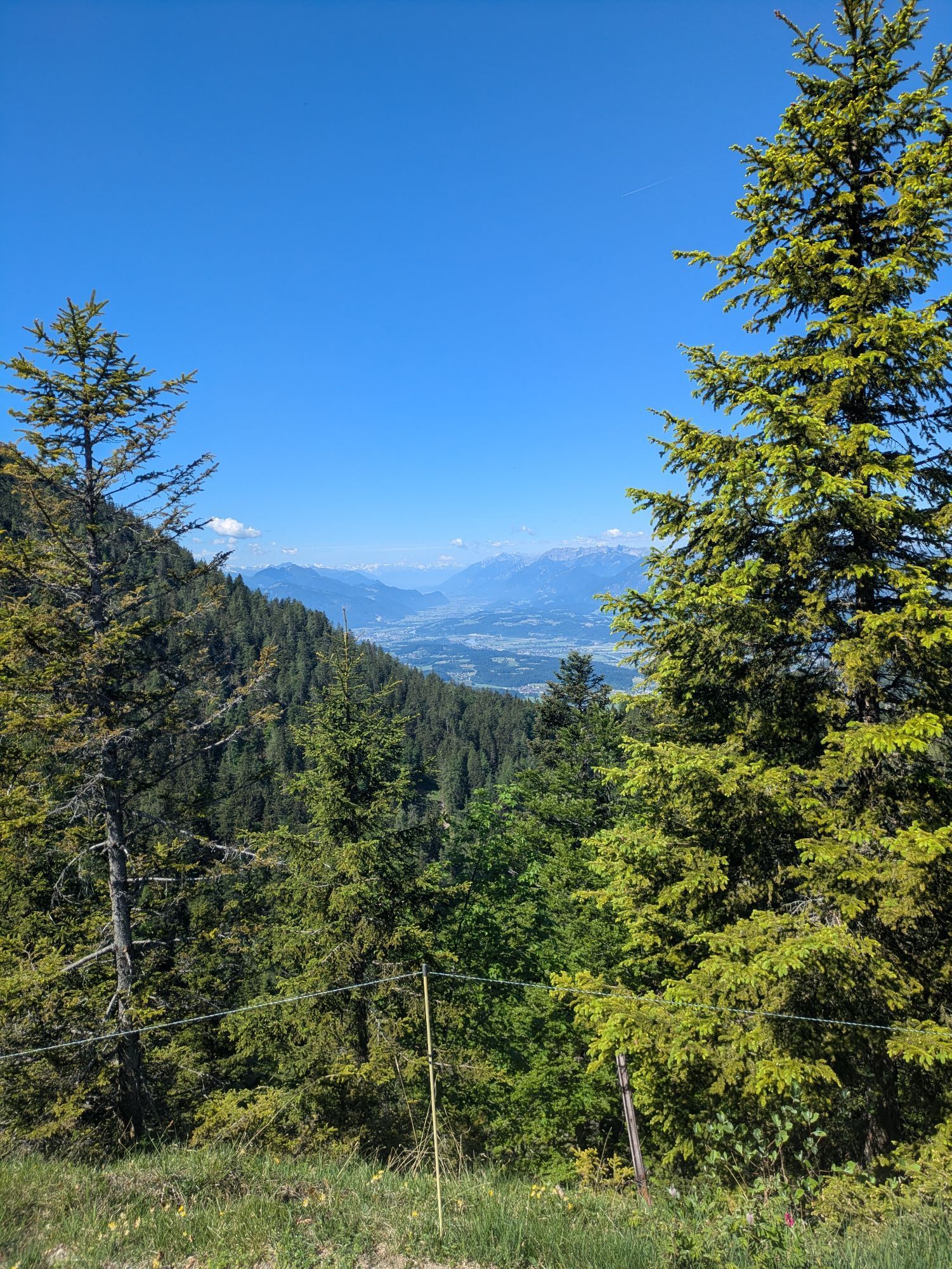
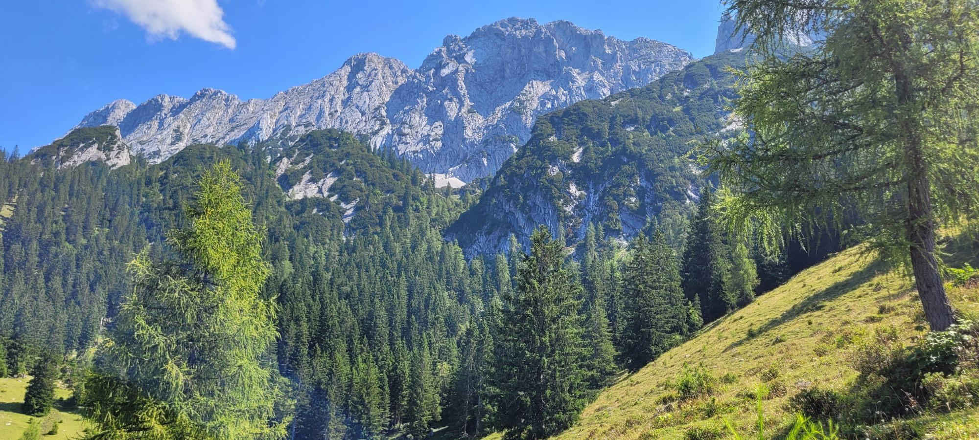
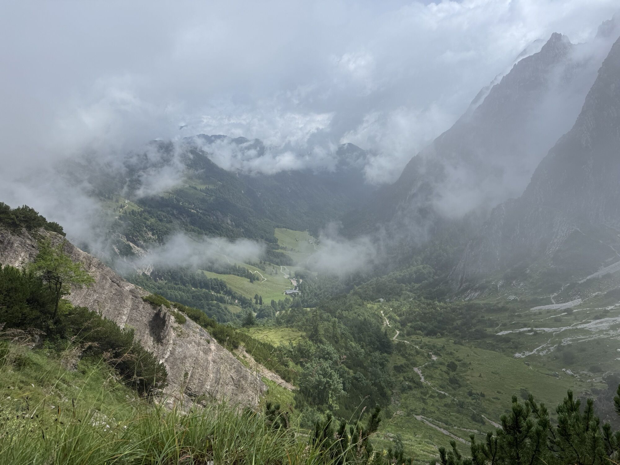
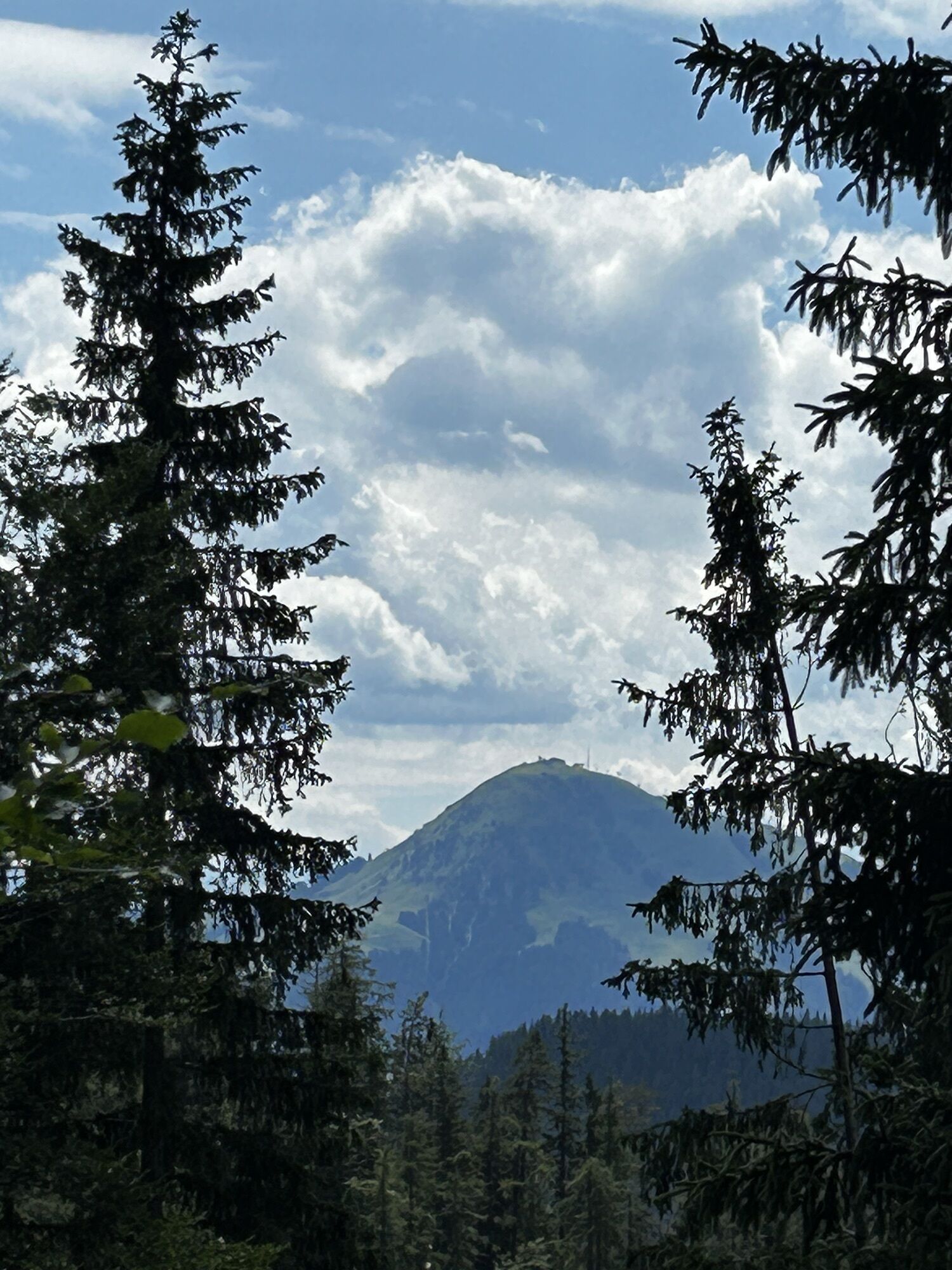
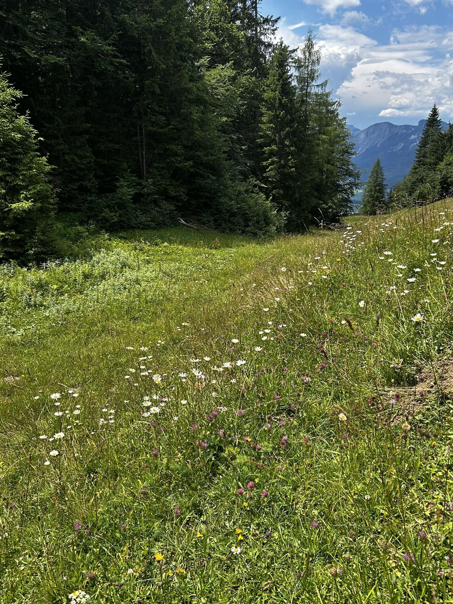
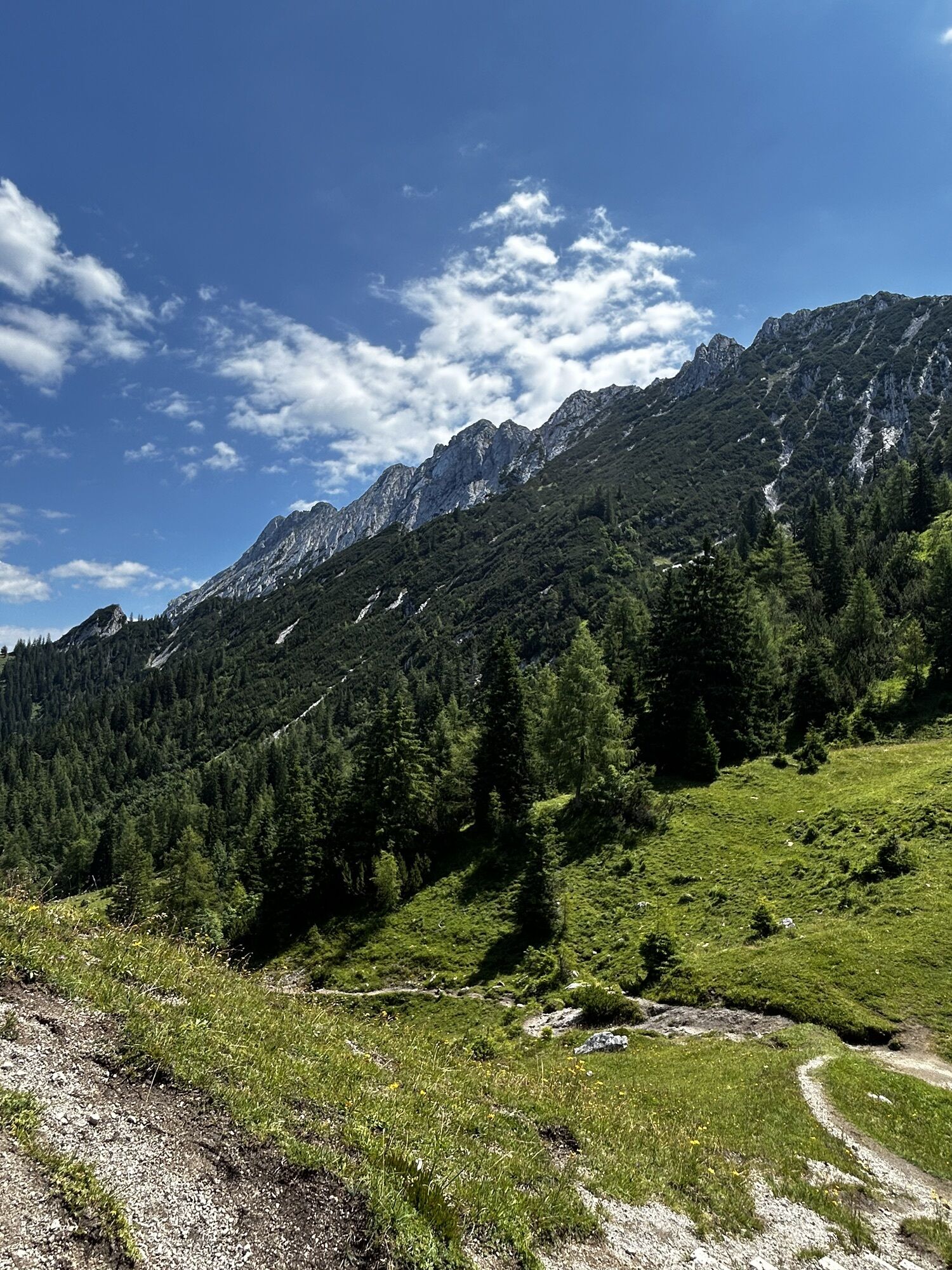
Lush Alpine pastures, organic mountain cooking, a library at the summit and legendary rock faces!
Behind the Pension Maier guesthouse (922 m), forest road 45 leads up a steep incline from the car park (pay...
Lush Alpine pastures, organic mountain cooking, a library at the summit and legendary rock faces!
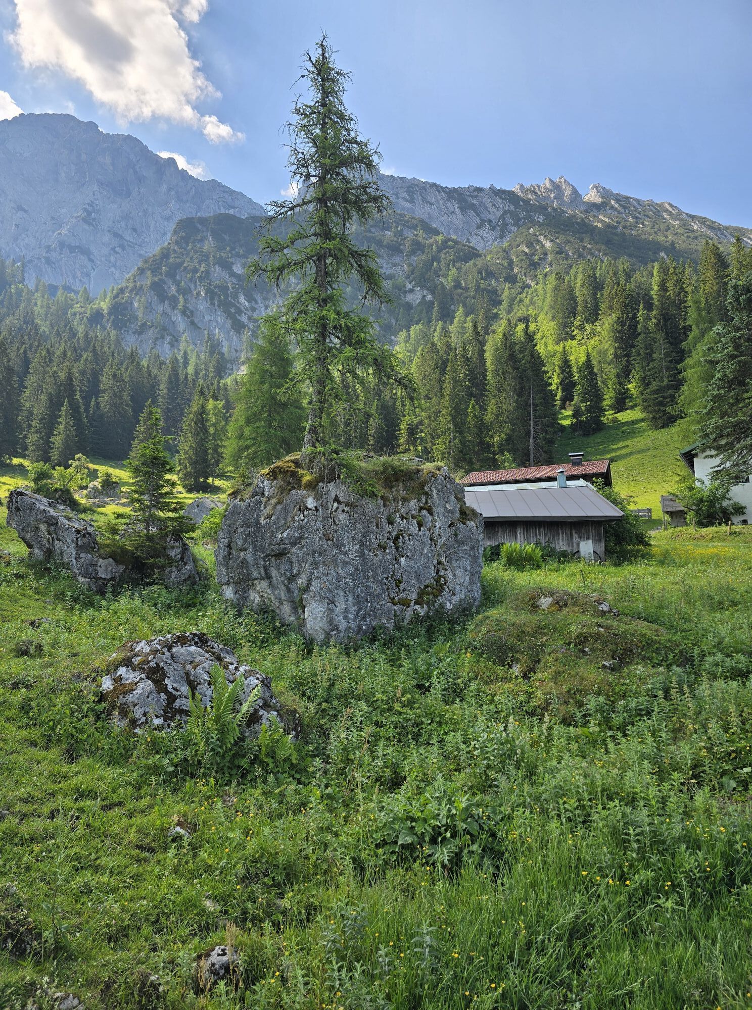
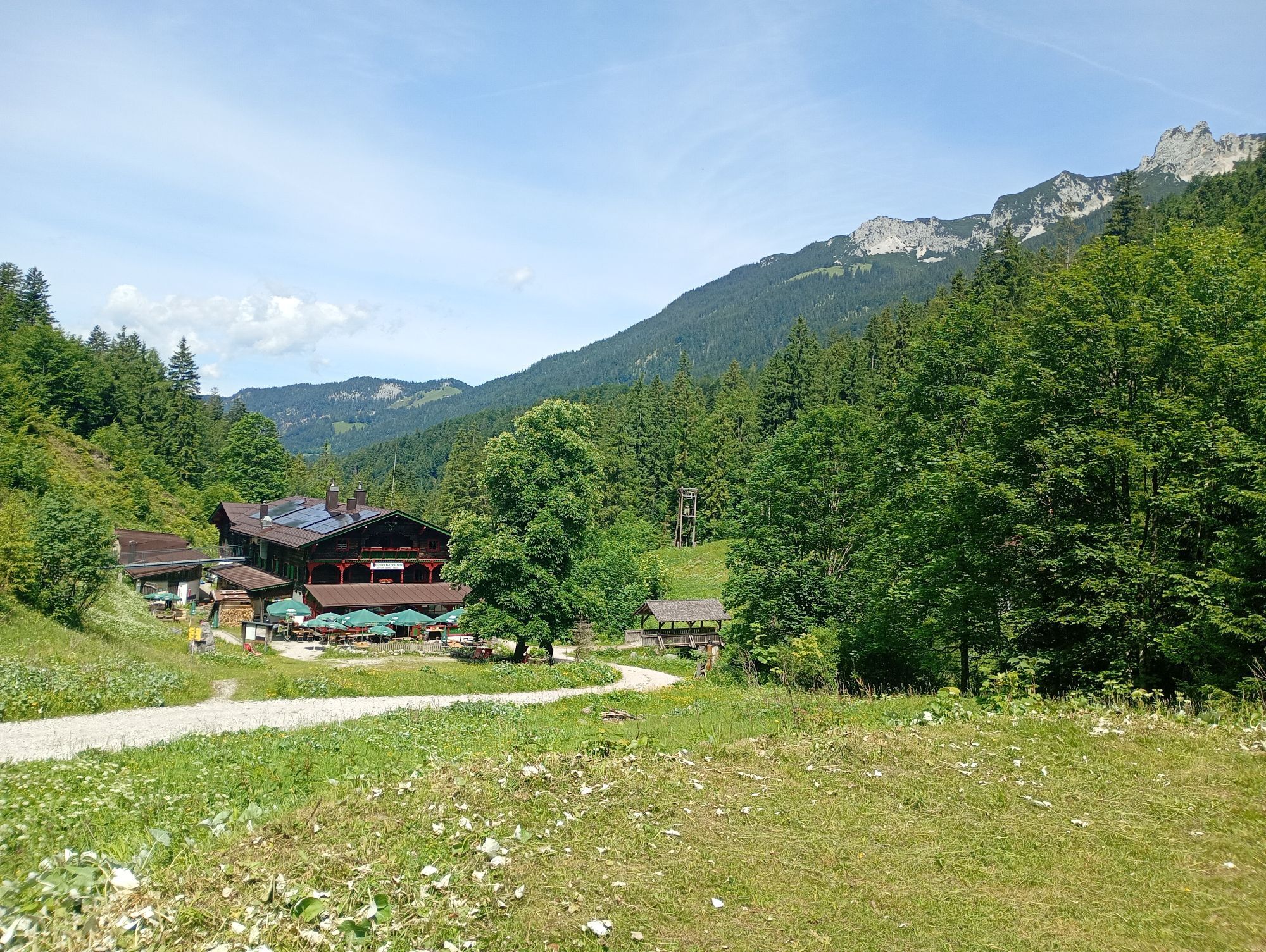
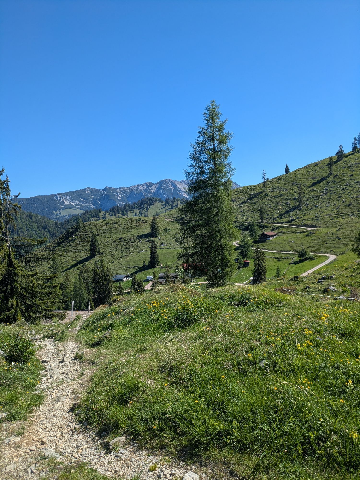
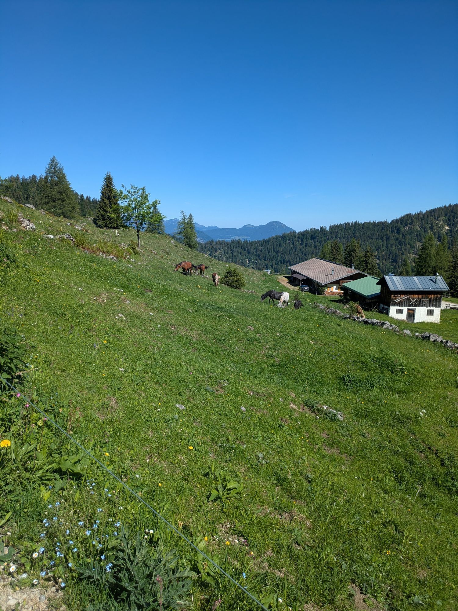
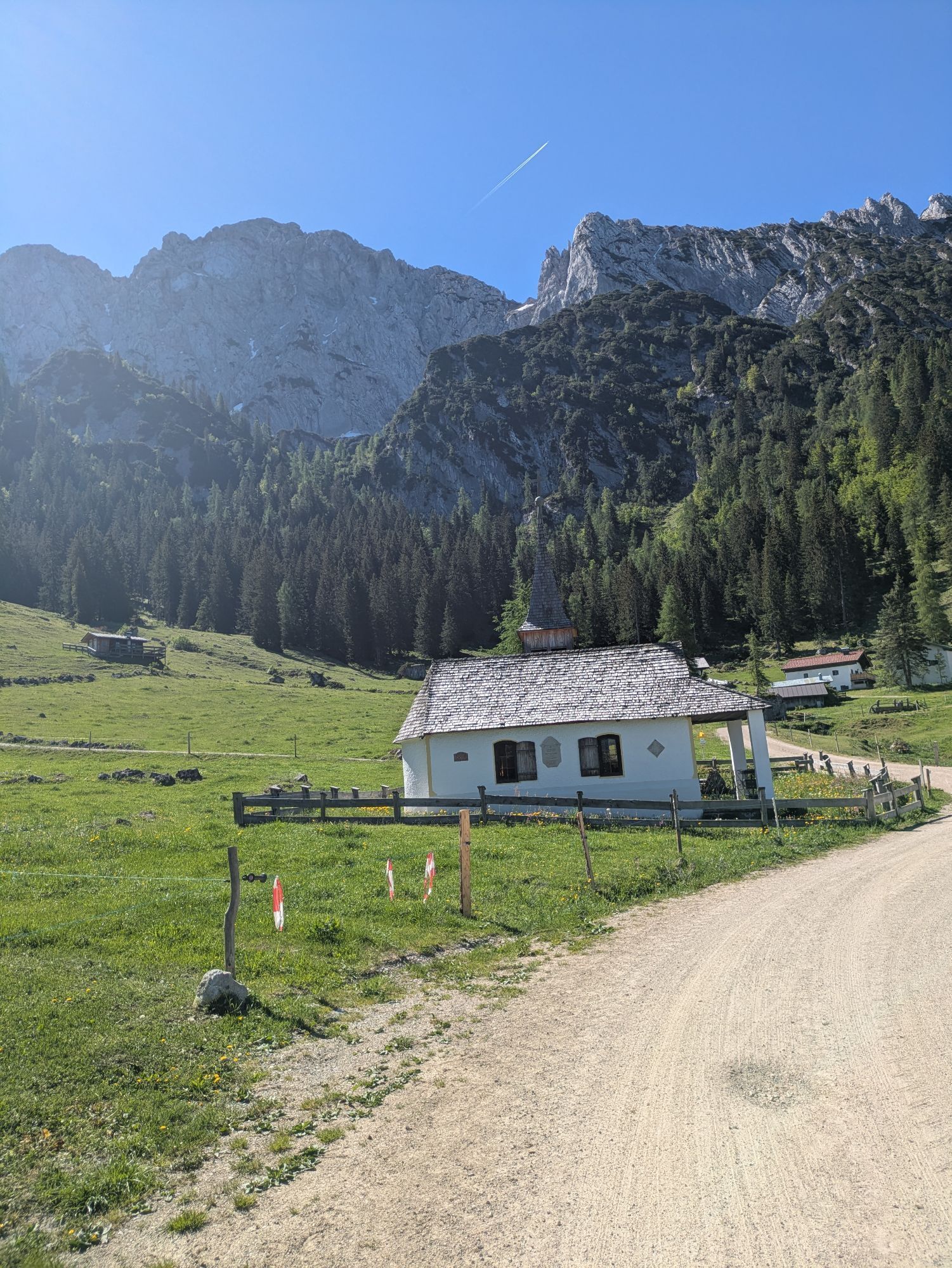
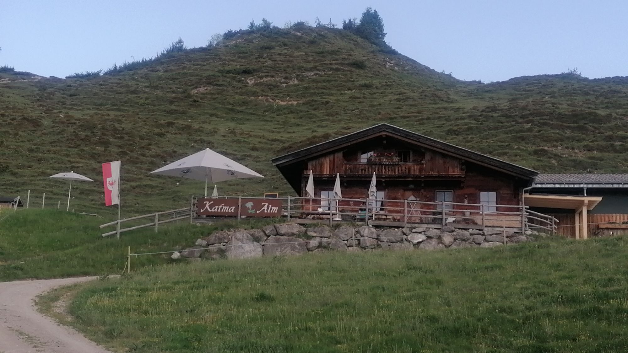
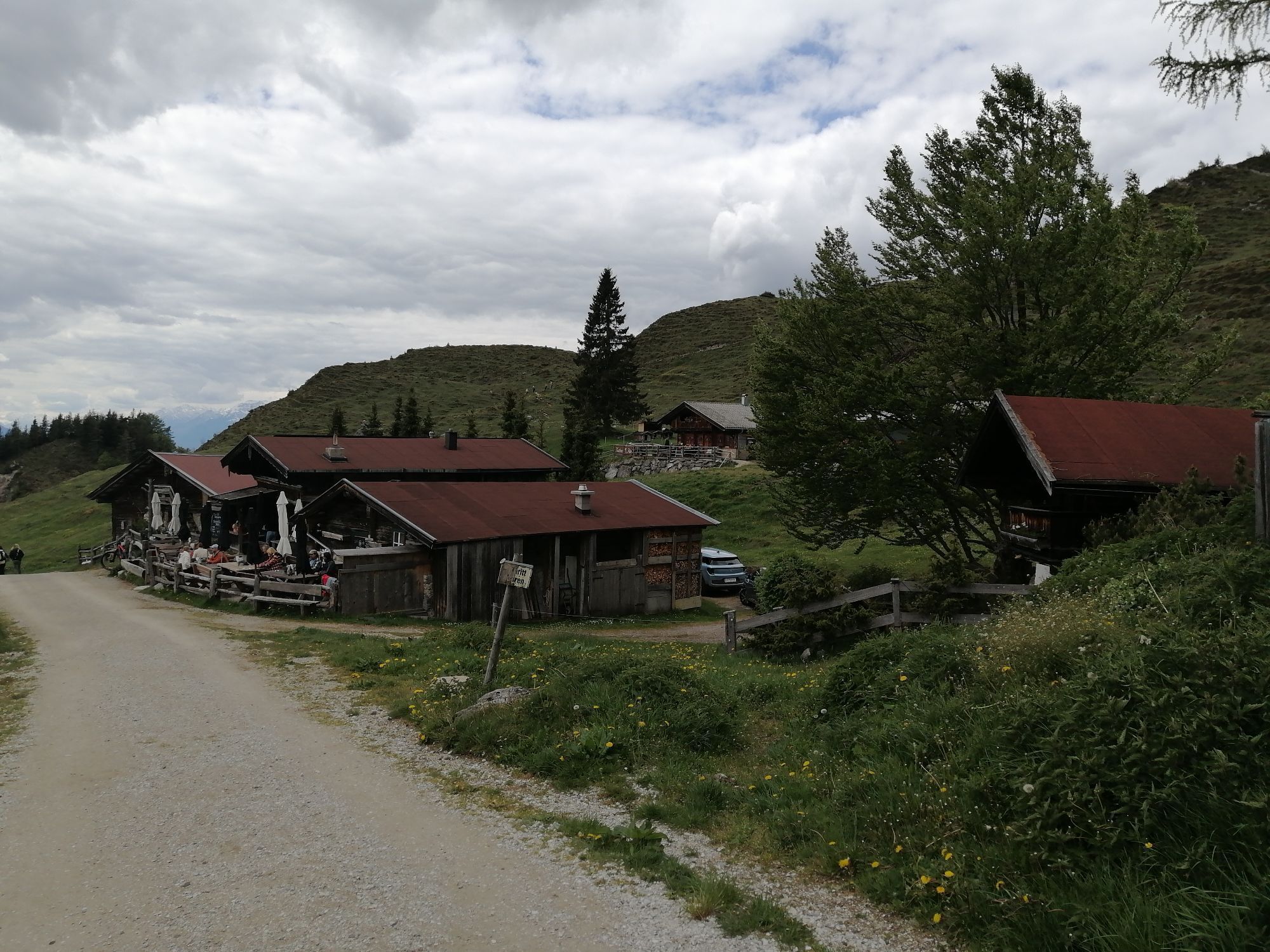
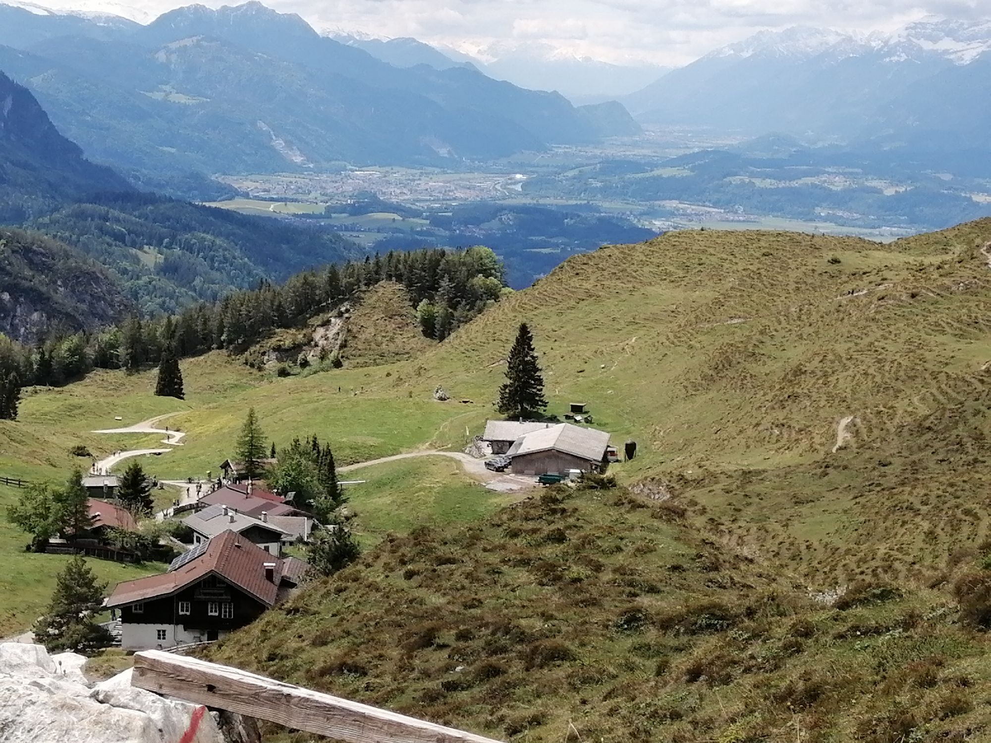
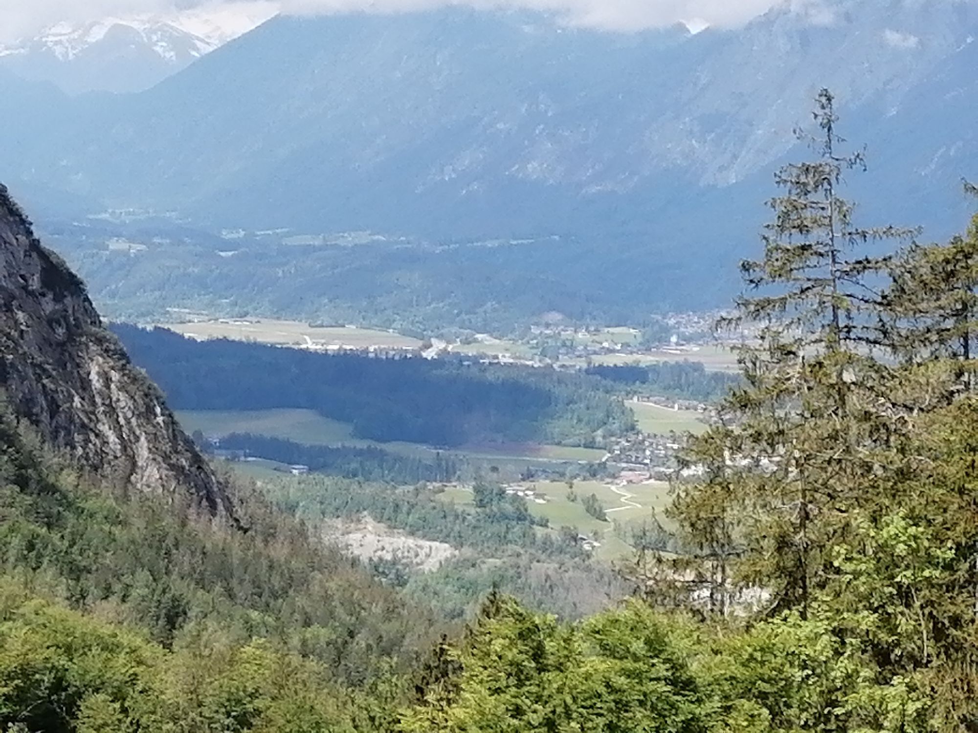
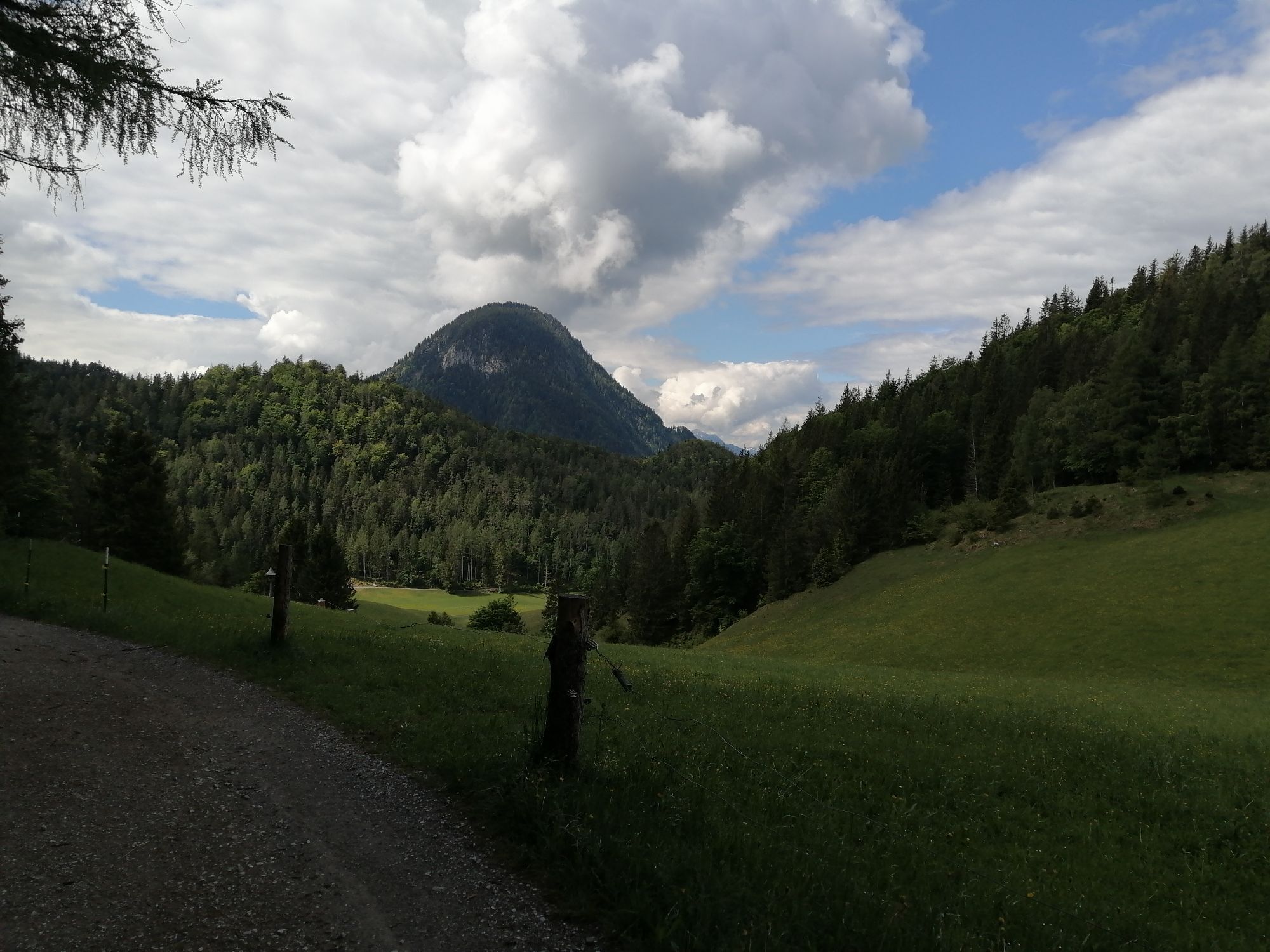
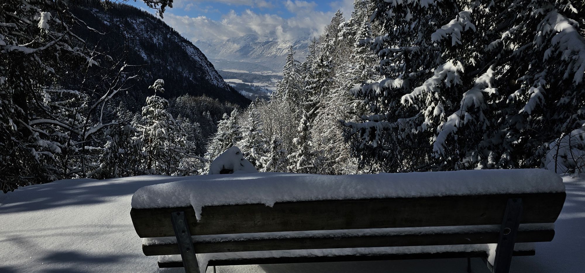
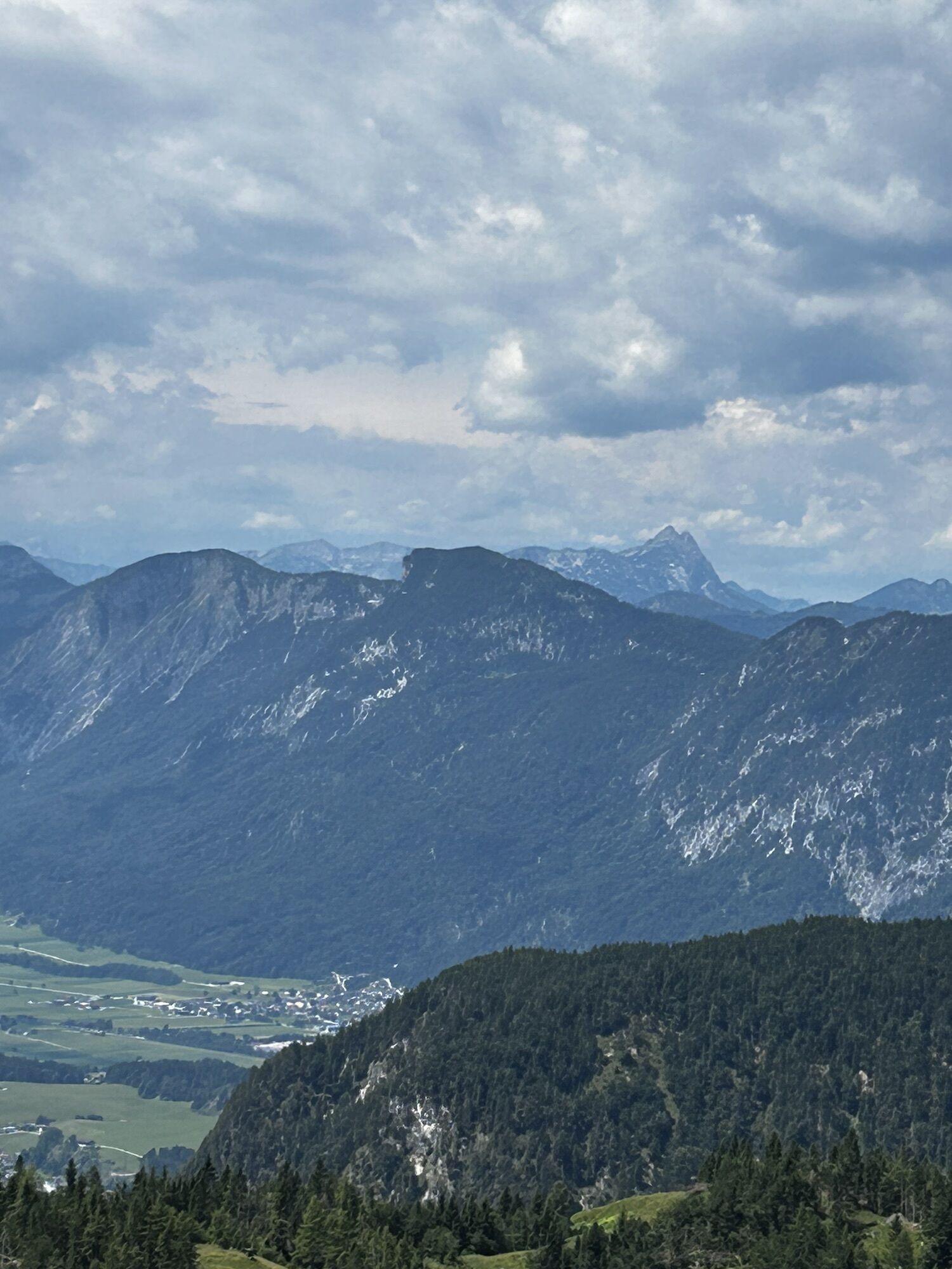
Behind the Pension Maier guesthouse (922 m), forest road 45 leads up a steep incline from the car park (pay & display) to the Walleralm, an Alpine hamlet at the foot of the Zettenkaiserkopf mountain. A brief ascent to the Kreuzbichl summit is rewarded with wonderful views of the Inntal valley. Alternatively, you can enjoy a refreshment stop at the Kafma Alm mountain hut, the Stöfflhütte mountain hut or at the Walleralm mountain inn.
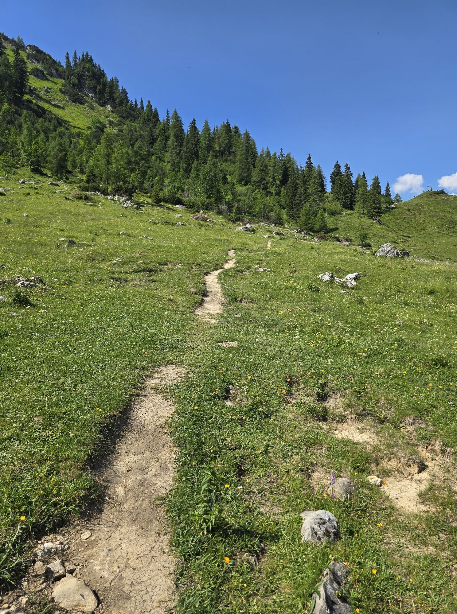
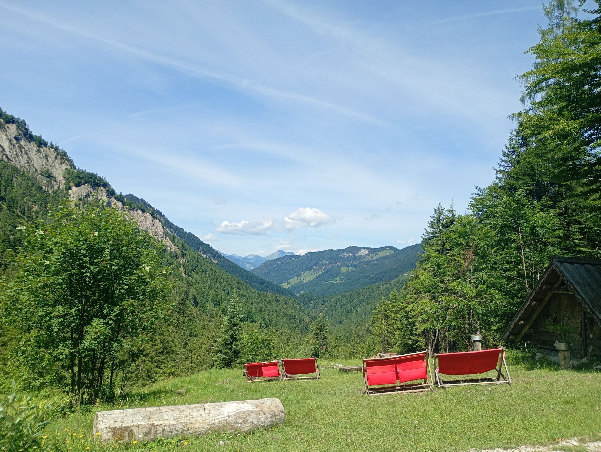
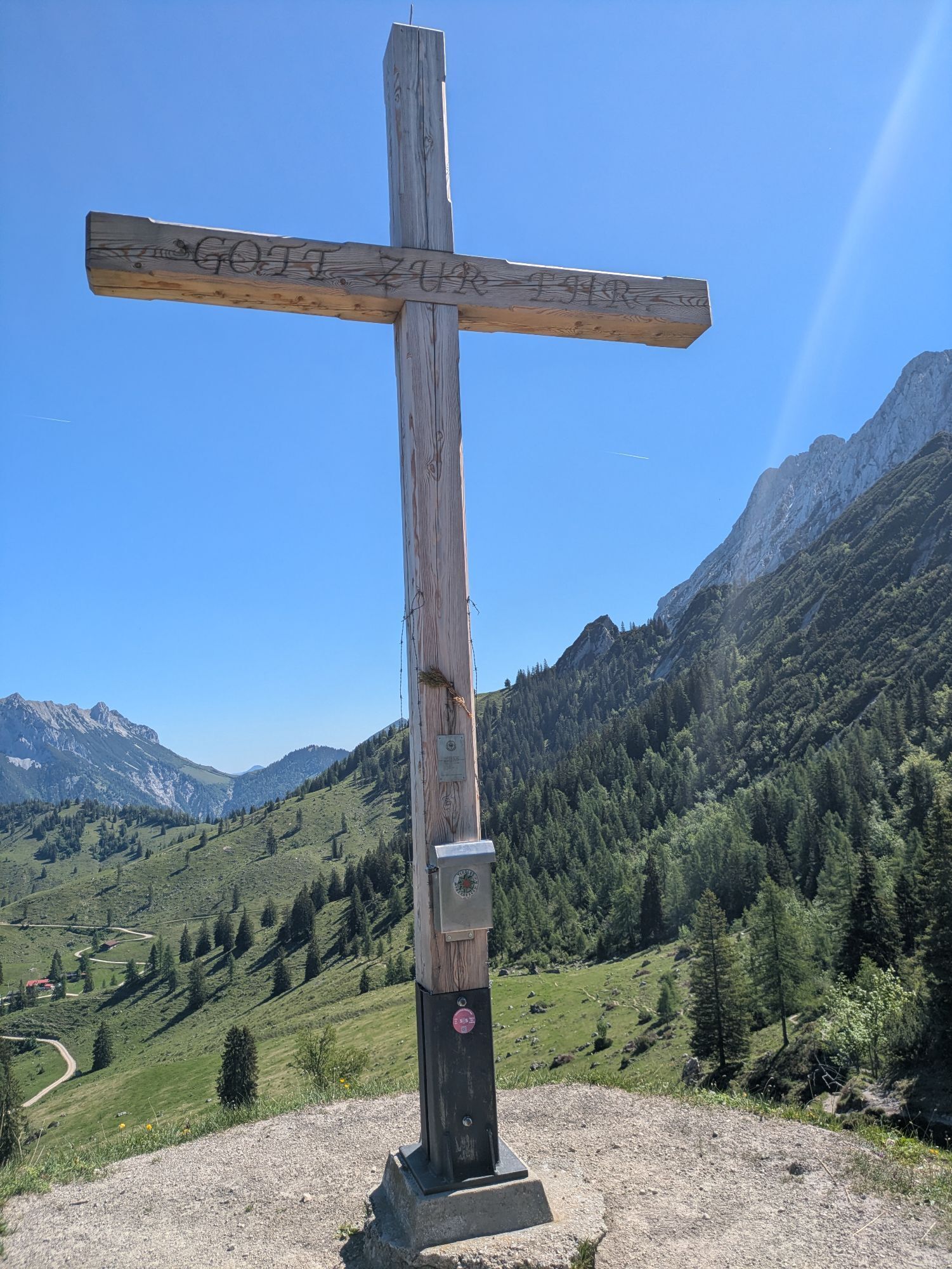
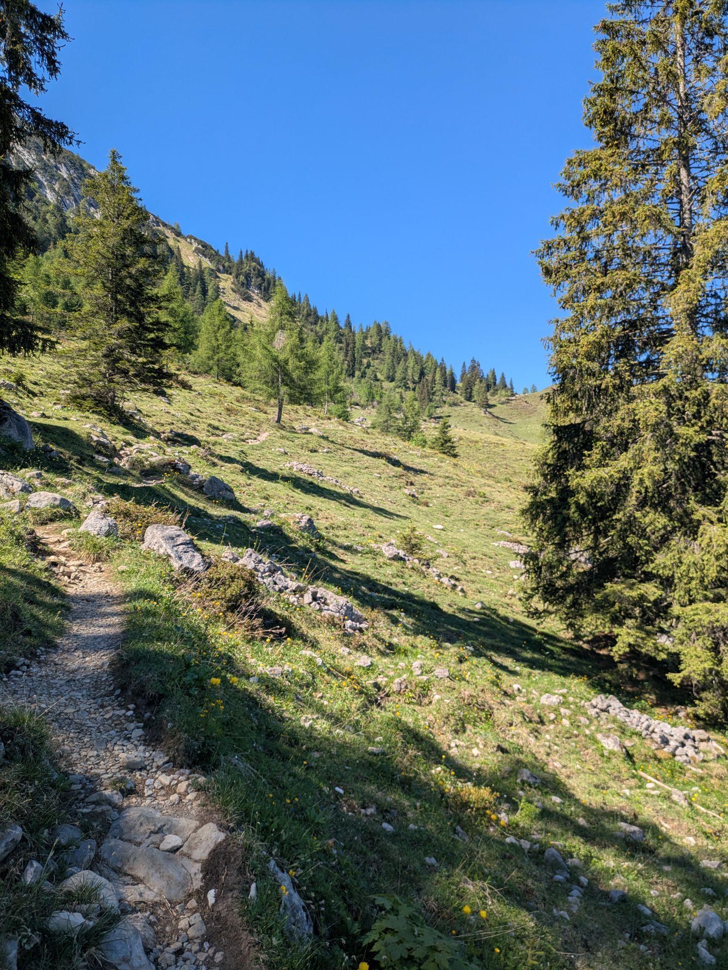
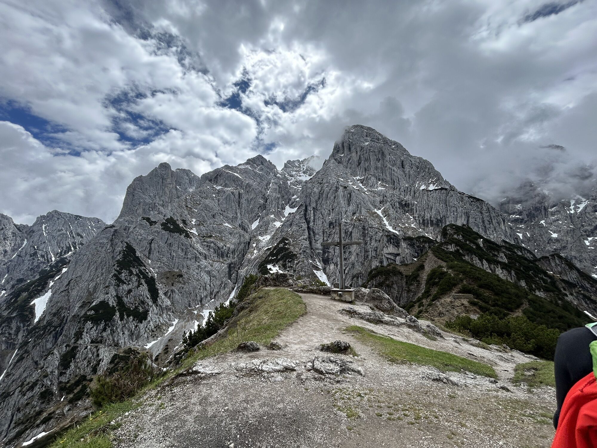
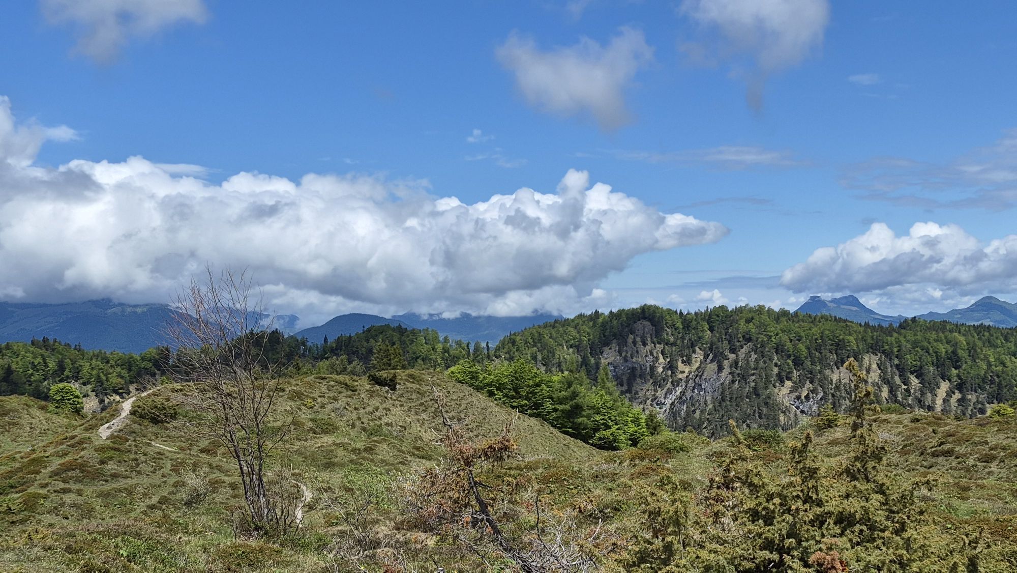
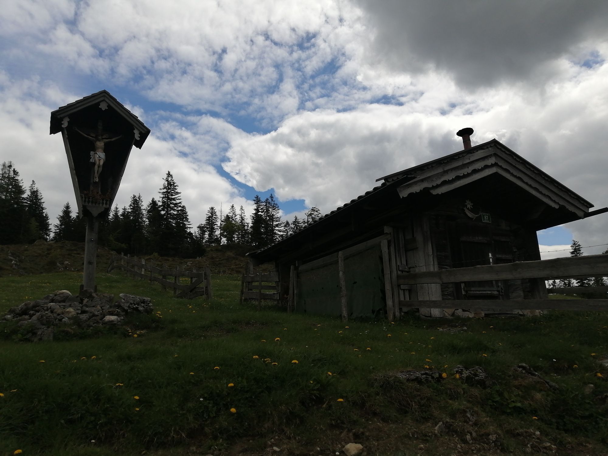
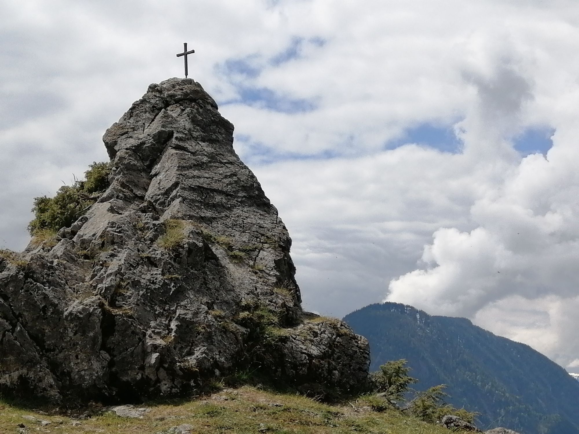
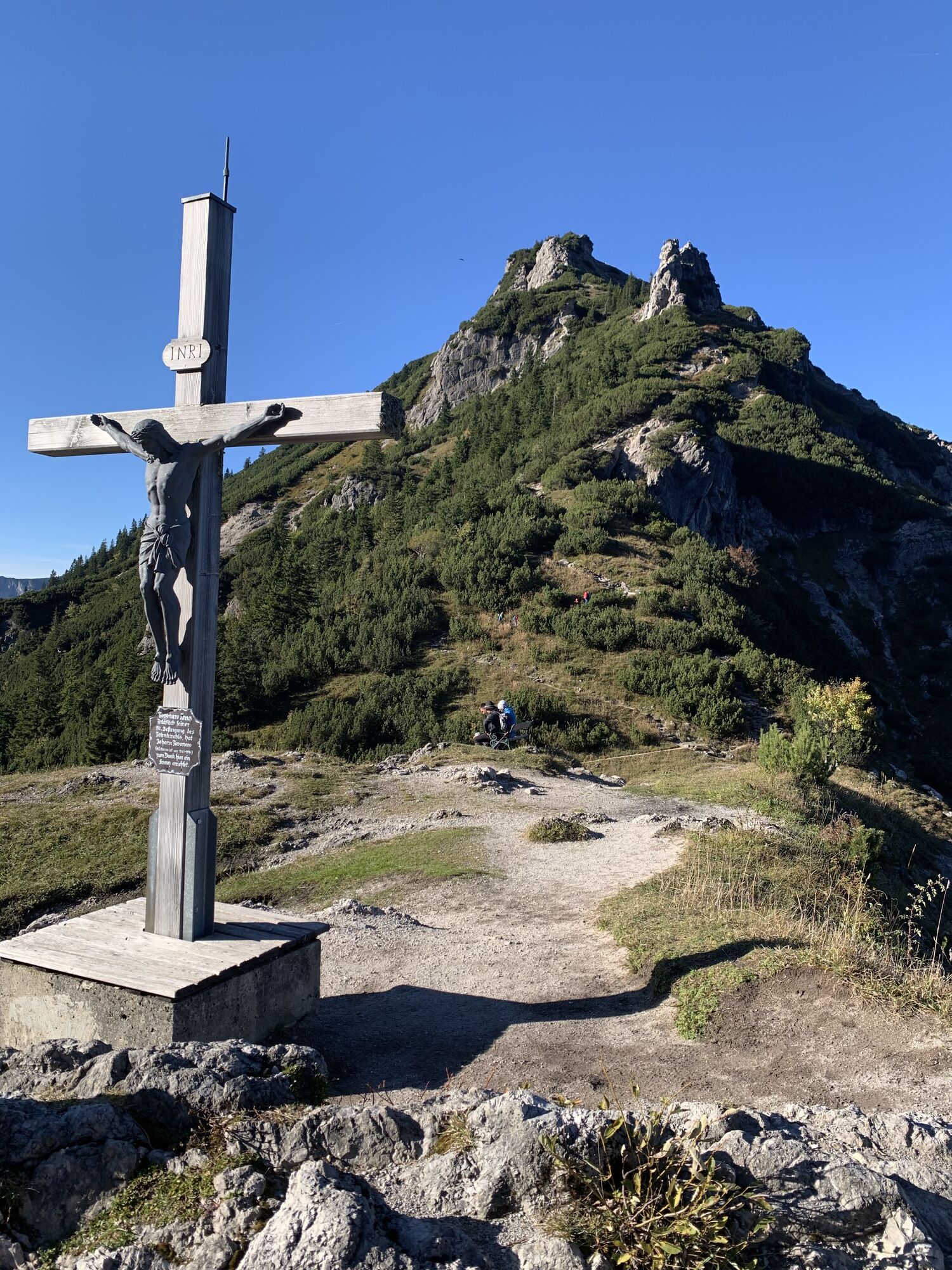
Continue on path 827 across Alpine meadows, past the Jägerbrünnl and through the forest to the cross on Hochegg mountain (1,470 m). From here you hike onward slightly downhill across gentle Alpine pastures to the cosy Kaindlhütte mountain hut (1,293 m) at the Steinbergalm, a beautiful high plateau above Kufstein. Hikers looking for a gentle outing can take advantage of the quiet and idyllic high plateau in the afternoon to rest and plan an overnight stay. In the evening, you can see the chamois grazing and savour the view of the Scheffauer and Zettenkaiser summits with their red glow.
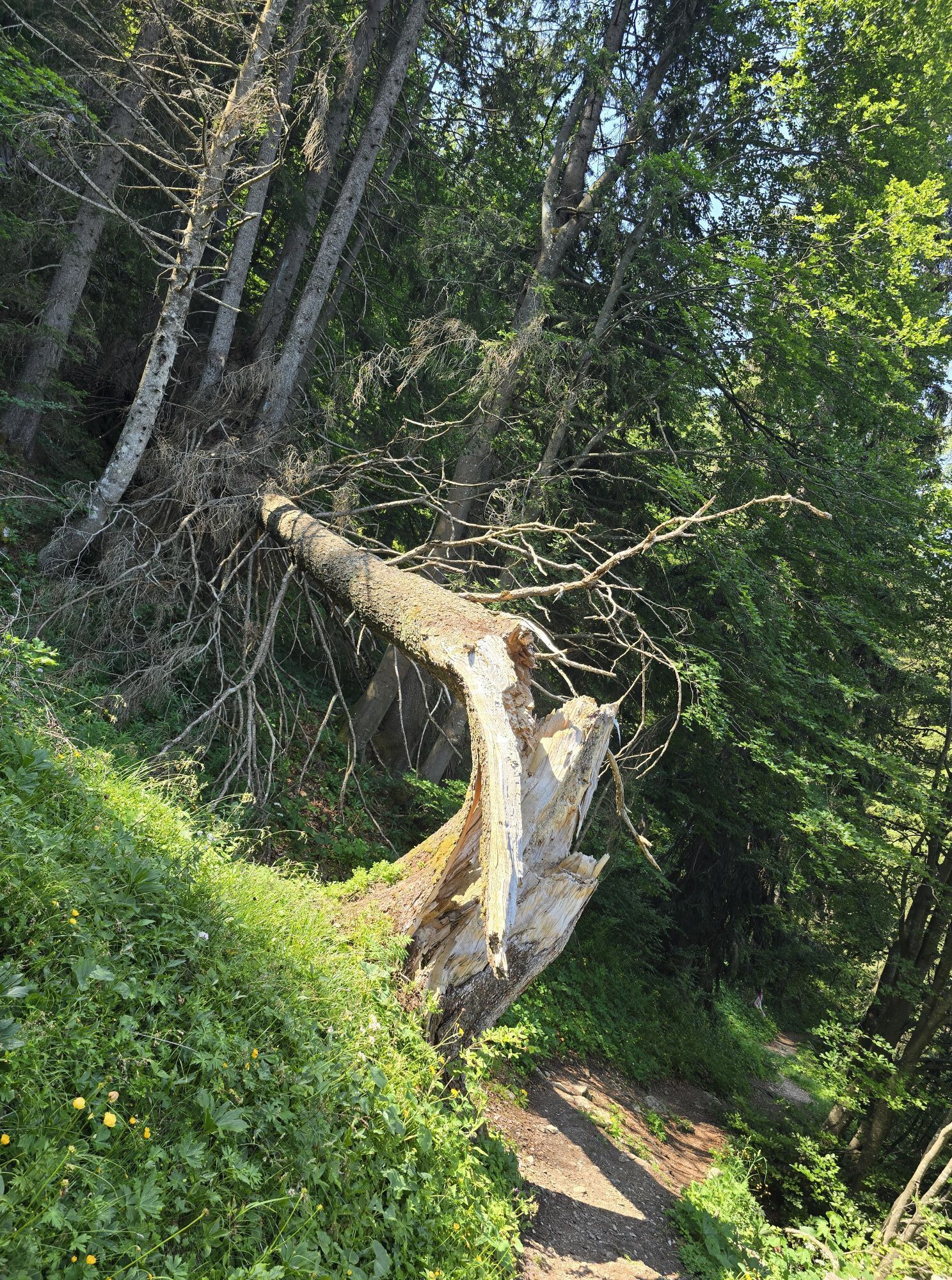
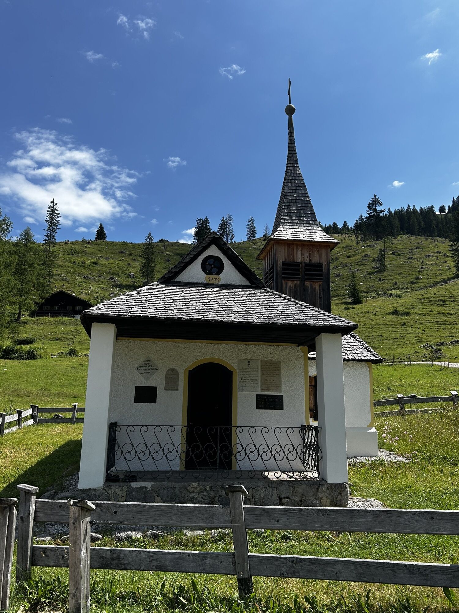
Continue east on trail 827 until you reach the entrance to the Bettlersteig trail. In a series of sharp bends, this leads past the Talofenschlucht gorge and the north face of the Hackenköpfe mountains. It begins with a steep descent, mostly on steps and across eight ditches, with one passage secured using a wire rope and iron clamps. Heading shortly uphill, you will then reach the Strasswalch Jagdhütte mountain hut below the Strasswalchschlucht gorge and continue further into the Kaisertal valley on the Bettlersteig trail. This will bring you to the Anton-Karg-Haus mountain hut (also known as Hinterbärenbad, 829 m), which is located in a picturesque basin above the Hörfarter Kapelle chapel.
On footpath 96/801, walk along the stream and slightly uphill as you take the steps to the Hans-Berger-Haus (also known as the Kaisertalhaus, 936 m). Here, the mountain hut’s landlady Silvia will be waiting with her organic cooking and library.
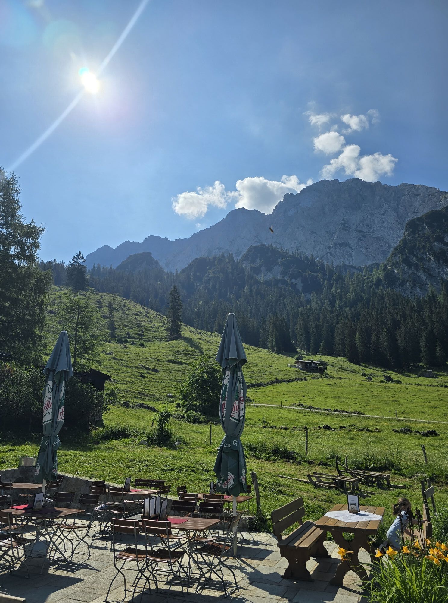
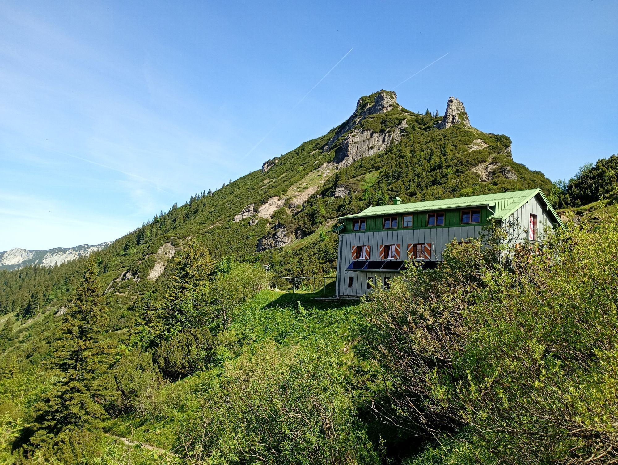
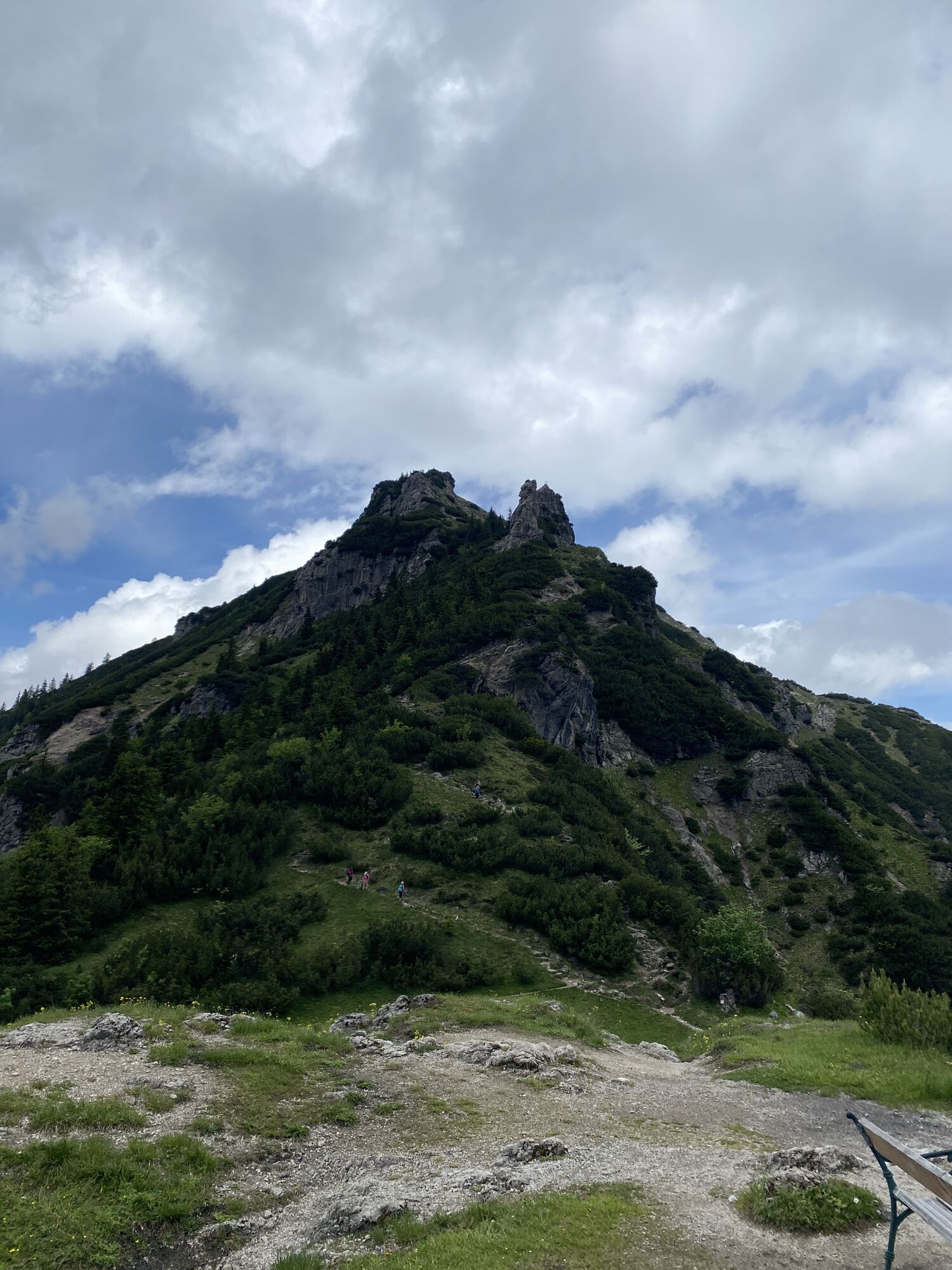
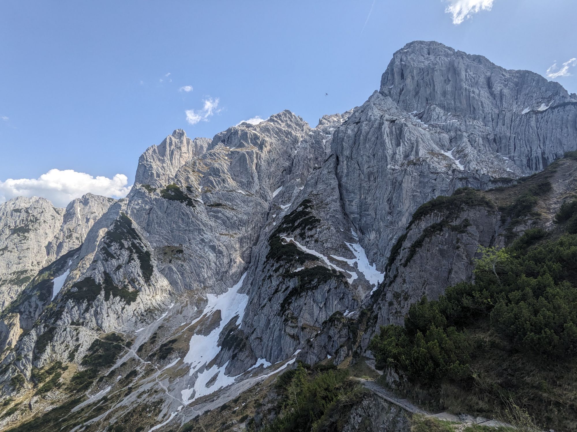
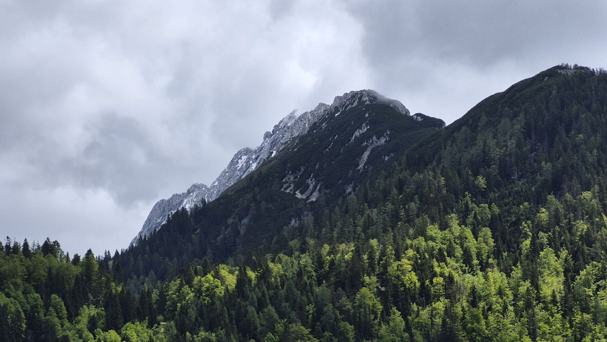
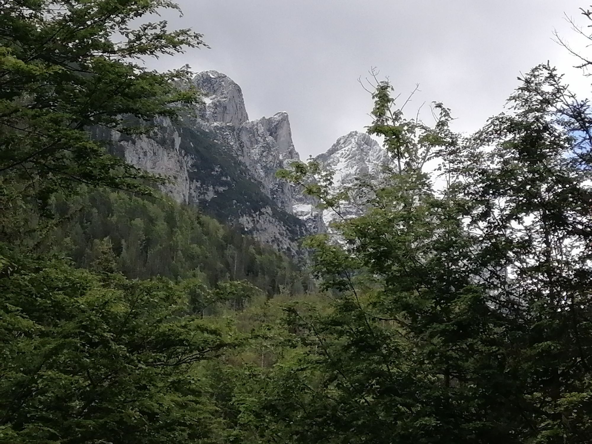
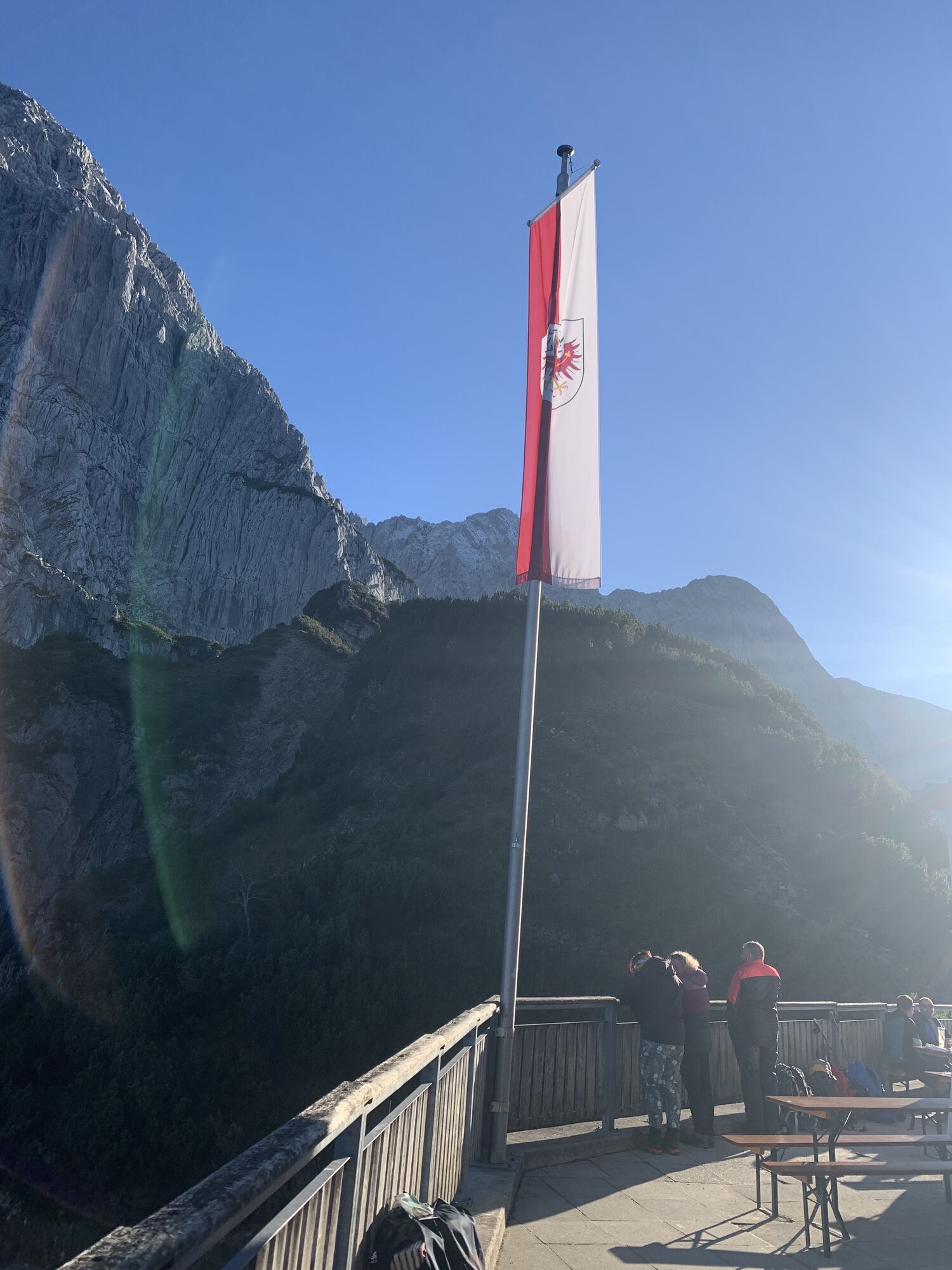
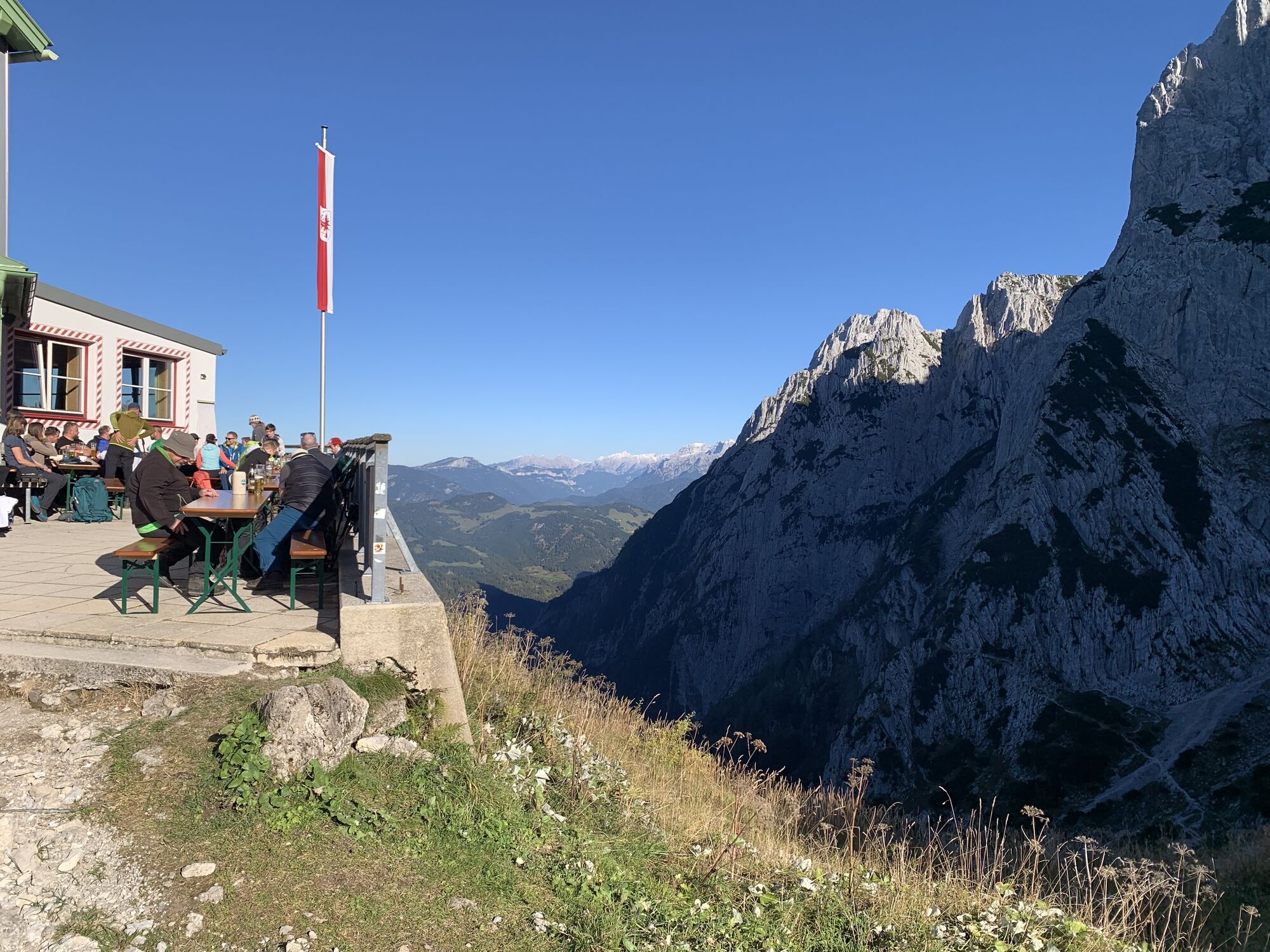
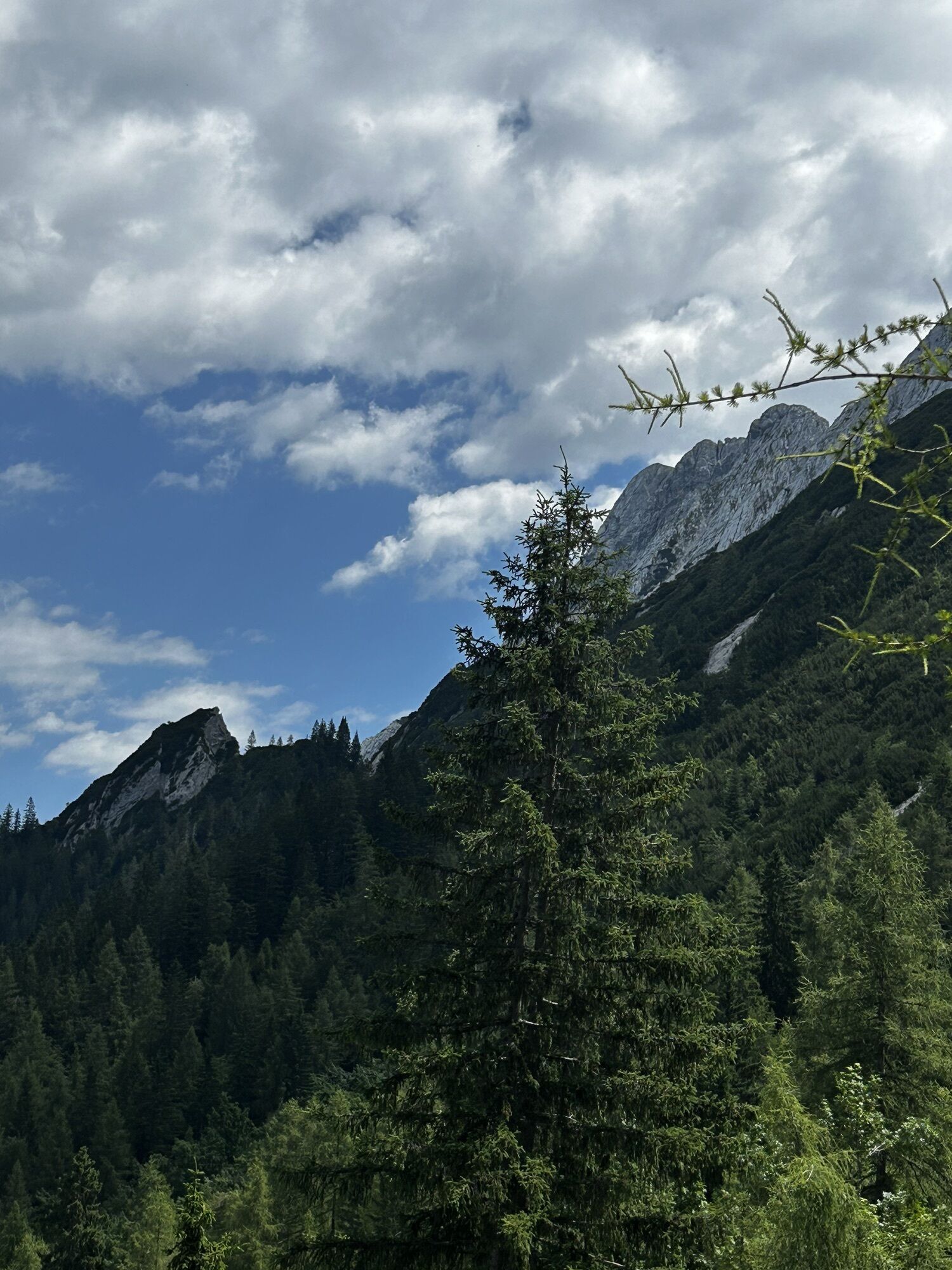
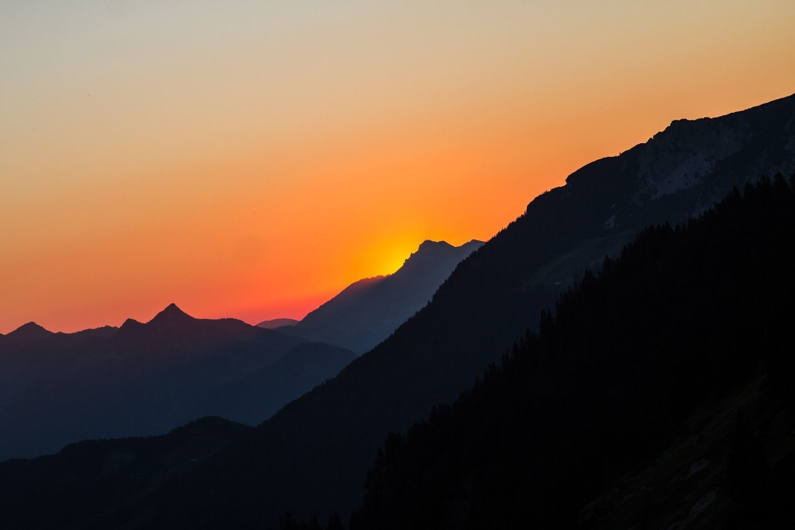
From here you continue along path 801, the climb becomes steeper, through the forest and over serpentines and a number of steps on your way up to the Stripsenjochhaus mountain hut (1,577 m). This is located on a rise at the foot of the legendary “Totenkirchl” and “Fleischbank” rock faces, which have attained cult status in climbing circles. Enjoy the sunset as it turns the Wilder Kaiser peaks orange!
Tip for true climbing enthusiasts: hike through the Ellmauer Tor
Experience the fascination of the Wilder Kaiser with its imposing and historic rock faces when crossing from north to south.
For detailed information, see the corresponding alternative route.

Lush Alpine pastures, organic mountain cooking, a library at the summit and legendary rock faces!
Behind the Pension Maier guesthouse (922 m), forest road 45 leads up a steep incline from the car park (pay & display) to the Walleralm, an Alpine hamlet at the foot of the Zettenkaiserkopf mountain. A brief ascent to the Kreuzbichl summit is rewarded with wonderful views of the Inntal valley. Alternatively, you can enjoy a refreshment stop at the Stöfflhütte mountain hut or at the Walleralm mountain inn.
Continue on path 827 across Alpine meadows, past the Jägerbrünnl and through the forest to the cross on Hochegg mountain (1,470 m). The Adlerweg trail will guide you onward across gentle Alpine pastures to the cosy Kaindlhütte mountain hut (1,293 m) at the Steinbergalm, a beautiful high plateau above Kufstein. Hikers looking for a gentle outing can take advantage of the quiet and idyllic high plateau in the afternoon to rest and plan an overnight stay. In the evening, you can see the chamois grazing and savour the view of the Scheffauer and Zettenkaiser summits with their red glow.
Continue east on trail 827 until you reach the entrance to the Bettlersteig trail. In a series of sharp bends, this leads past the Talofenschlucht gorge and the north face of the Hackenköpfe mountains. It begins with a steep descent, mostly on steps and across eight ditches, with one passage secured using a wire rope and three iron clamps. Heading uphill, you will then reach the Strasswalch Jagdhütte mountain hut below the Strasswalchschlucht gorge and continue further into the Kaisertal valley on the Bettlersteig trail. This will bring you to the lovingly detailed Anton-Karg-Haus mountain hut (also known as Hinterbärenbad, 829 m), which is located in a picturesque basin above the Hörfarter Kapelle chapel.
On footpath 96/801, walk along the stream and slightly uphill as you take the steps to the Hans-Berger-Haus (also known as the Kaisertalhaus, 936 m). Here, the mountain hut’s landlady Silvia will be waiting with her organic cooking and library at the summit.
Passing by the rows of mountain pines, the climb becomes steeper here as you walk along path 801 through the forest and over a number of steps on your way to the Stripsenjochhaus mountain hut (1,577 m). This is located on a rise at the foot of the legendary “Totenkirchl” and “Fleischbank” rock faces, which have attained cult status in climbing circles. Enjoy the sunset as it turns the Wilder Kaiser peaks orange!
Tip for true climbing enthusiasts: walk through the Ellmauer Tor
Experience the fascination of the Wilder Kaiser with its imposing and historic rock faces when crossing from north to south.
For detailed information, see the corresponding alternative route.
Wilder Kaiser hiking map (1:25.000) available at the Tourist information offices Ellmau, Going, Scheffau and Söll for € 6,90 - with Wilder Kaiser Guest Card for € 6, -.
Additions for overnight stay at mountain hut:
Mountain hut sleeping bag, indoor shoes, toiletries and towel, personal medication, headlamp, Alpine Club ID Card, cash, charger for mobile phone
The hiking routes between the huts are often rather long, we recommend taking plenty of food and drink and booking your overnight stays well in advance.
Lush Alpine pastures, organic mountain cooking, a library at the summit and legendary rock faces!
Behind the Pension Maier guesthouse (922 m), forest road 45 leads up a steep incline from the car park (pay & display) to the Walleralm, an Alpine hamlet at the foot of the Zettenkaiserkopf mountain. A brief ascent to the Kreuzbichl summit is rewarded with wonderful views of the Inntal valley. Alternatively, you can enjoy a refreshment stop at the Stöfflhütte mountain hut or at the Walleralm mountain inn.
Continue on path 827 across Alpine meadows, past the Jägerbrünnl and through the forest to the cross on Hochegg mountain (1,470 m). The Adlerweg trail will guide you onward across gentle Alpine pastures to the cosy Kaindlhütte mountain hut (1,293 m) at the Steinbergalm, a beautiful high plateau above Kufstein. Hikers looking for a gentle outing can take advantage of the quiet and idyllic high plateau in the afternoon to rest and plan an overnight stay. In the evening, you can see the chamois grazing and savour the view of the Scheffauer and Zettenkaiser summits with their red glow.
Continue east on trail 827 until you reach the entrance to the Bettlersteig trail. In a series of sharp bends, this leads past the Talofenschlucht gorge and the north face of the Hackenköpfe mountains. It begins with a steep descent, mostly on steps and across eight ditches, with one passage secured using a wire rope and three iron clamps. Heading uphill, you will then reach the Strasswalch Jagdhütte mountain hut below the Strasswalchschlucht gorge and continue further into the Kaisertal valley on the Bettlersteig trail. This will bring you to the lovingly detailed Anton-Karg-Haus mountain hut (also known as Hinterbärenbad, 829 m), which is located in a picturesque basin above the Hörfarter Kapelle chapel.
On footpath 96/801, walk along the stream and slightly uphill as you take the steps to the Hans-Berger-Haus (also known as the Kaisertalhaus, 936 m). Here, the mountain hut’s landlady Silvia will be waiting with her organic cooking and library at the summit.
Passing by the rows of mountain pines, the climb becomes steeper here as you walk along path 801 through the forest and over a number of steps on your way to the Stripsenjochhaus mountain hut (1,577 m). This is located on a rise at the foot of the legendary “Totenkirchl” and “Fleischbank” rock faces, which have attained cult status in climbing circles. Enjoy the sunset as it turns the Wilder Kaiser peaks orange!
Tip for true climbing enthusiasts: walk through the Ellmauer Tor
Experience the fascination of the Wilder Kaiser with its imposing and historic rock faces when crossing from north to south.
For detailed information, see the corresponding alternative route.
Infórmate
Siempre en directo con más de 9.500 webcams. bergfex Como usuario Pro, ahora puede ver las webcams correspondientes a muchos tours en la app de tours desde. Esto le permite ver las condiciones actuales directamente.
Actividades a lo largo del recorrido

Rutas populares en los alrededores
-
5,0
Priener Hütte
medioSenderismo 7,99 km -
4,9
Schleierwasserfall Runde
medioSenderismo 5,63 km -
4,8
Gruttenhütte über Klammlweg
medioSenderismo 5,61 km -
5,0
Stripsenjoch Klettersteige/ Rundwanderung von Griesener Alm über Stripsenjochhaus und Feldberg
medioVía ferrata 10,2 km -
4,8
Ellmauer Tor (22.07.2020)
medioSenderismo 9,32 km -
4,7
Musikantensteig zur Naunspitze
medioSenderismo 8,96 km -
4,6
Hintersteinersee
medioSenderismo 9,87 km -
4,6
Über Hintersteinersee und Walleralm aufs Hochegg
luzSenderismo 12,2 km -
4,9
Kirchdorf: Kaiserbachtal - Stripsenkopf und Feldberg
pesadoSenderismo 12,6 km -
4,5
Wanderung um den Hintersteinersee
luzSenderismo 5,29 km
Senderismo y rastreo


No se pierda las ofertas y la inspiración para sus próximas vacaciones
Su dirección de correo electrónico se ha añadido a la lista de correo.





