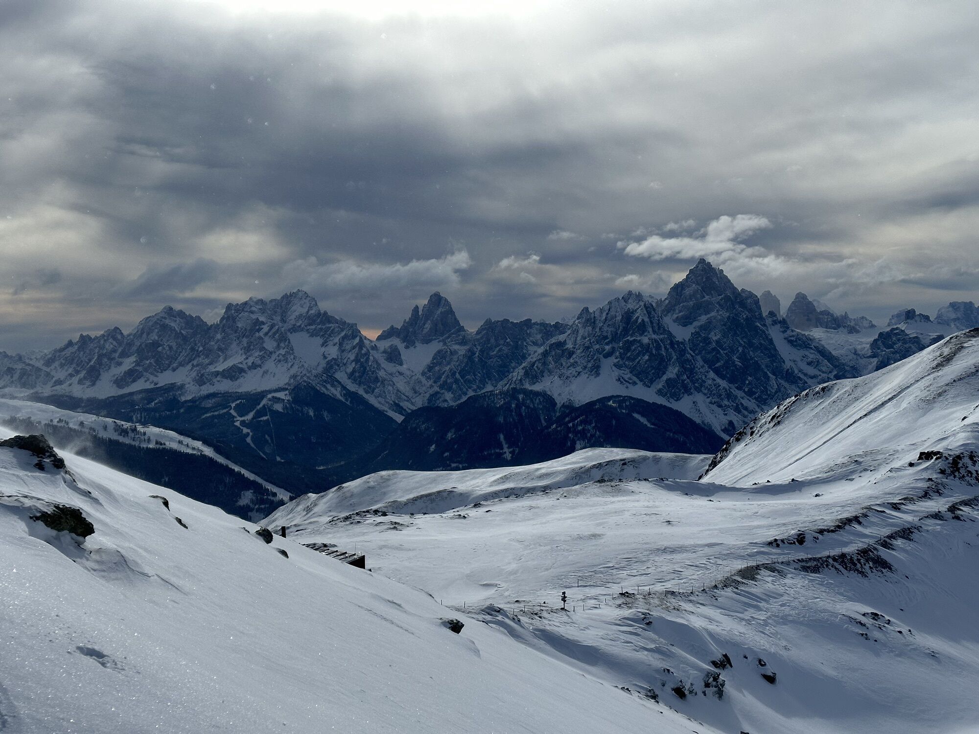
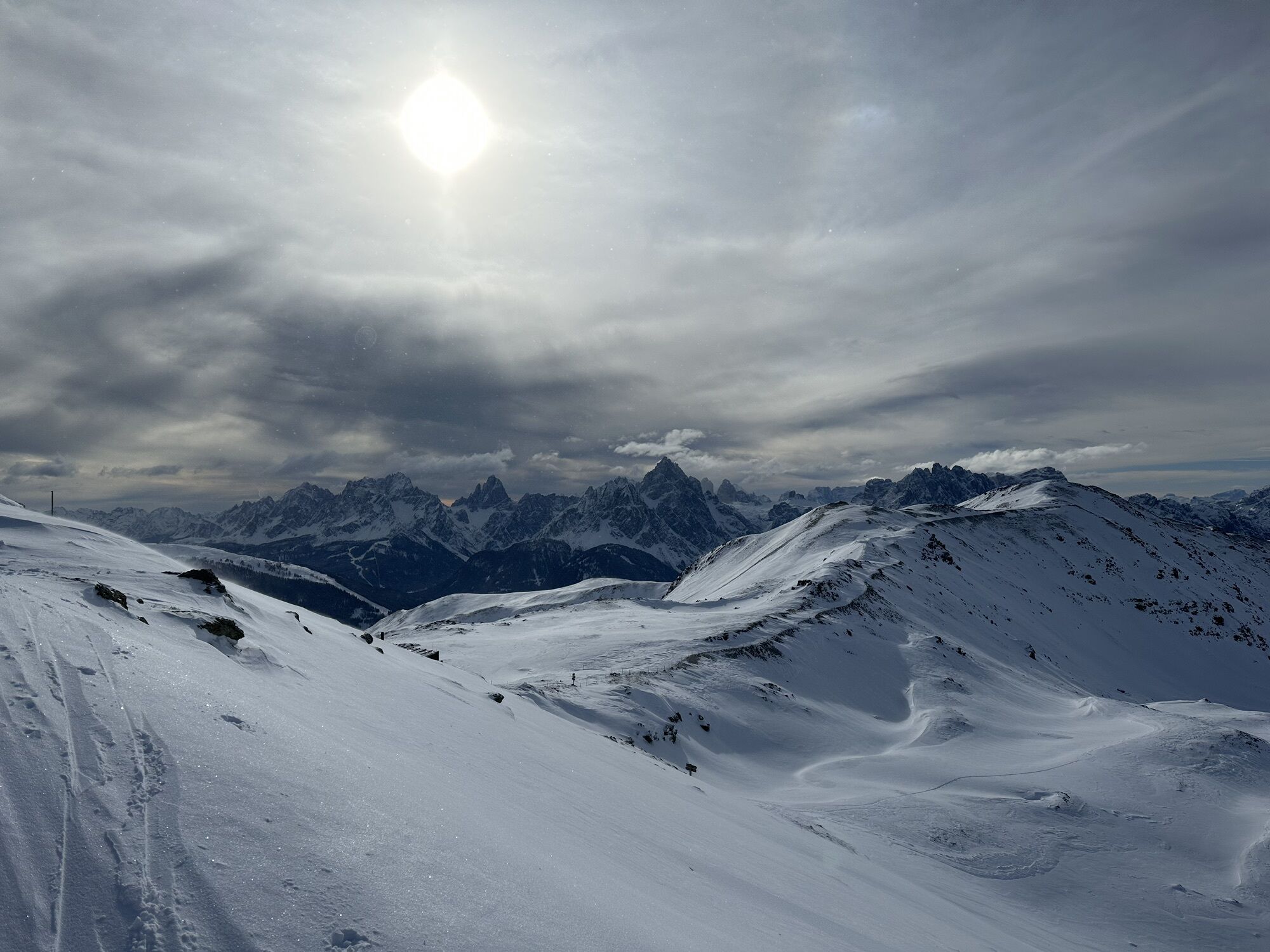
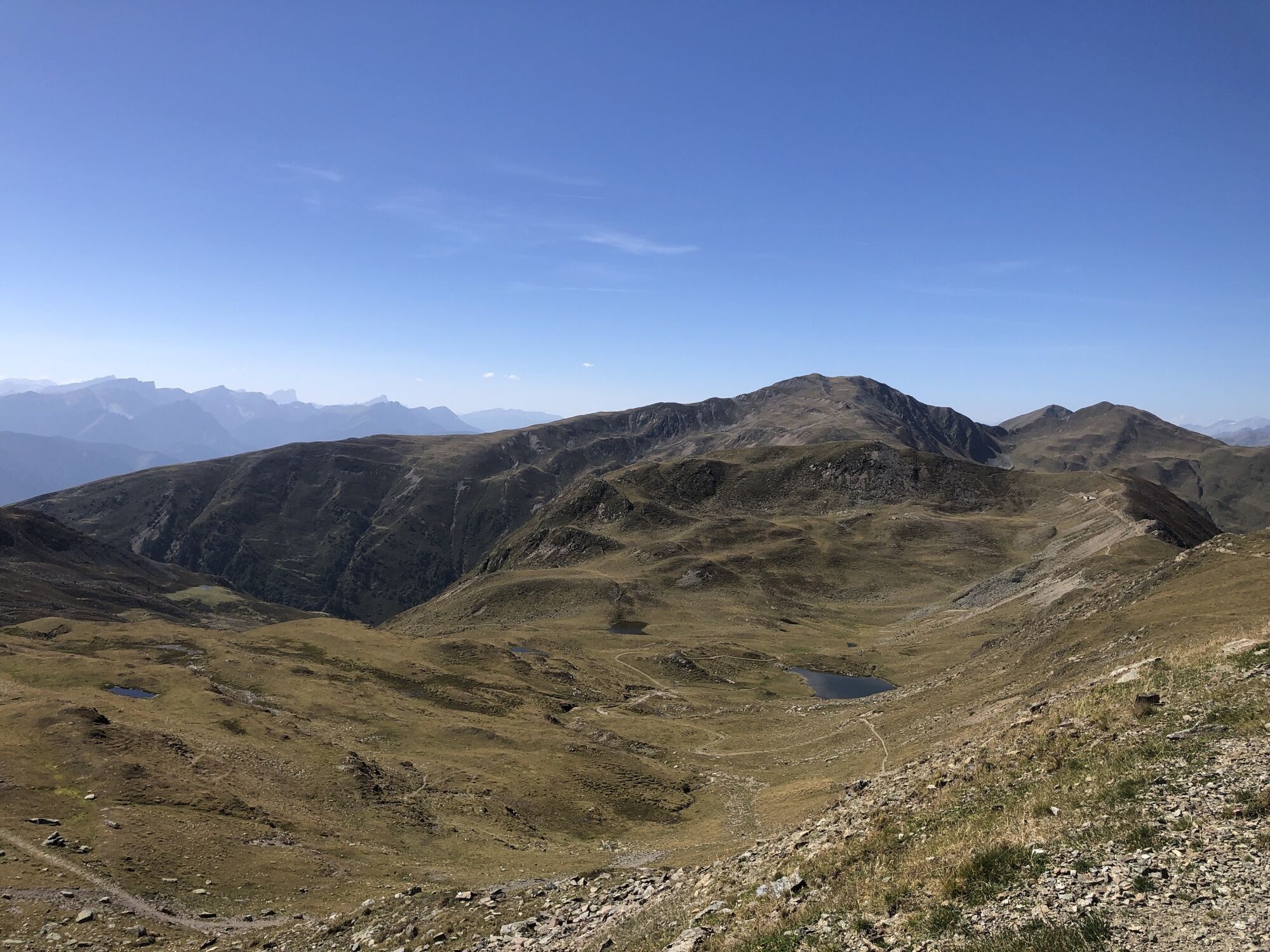
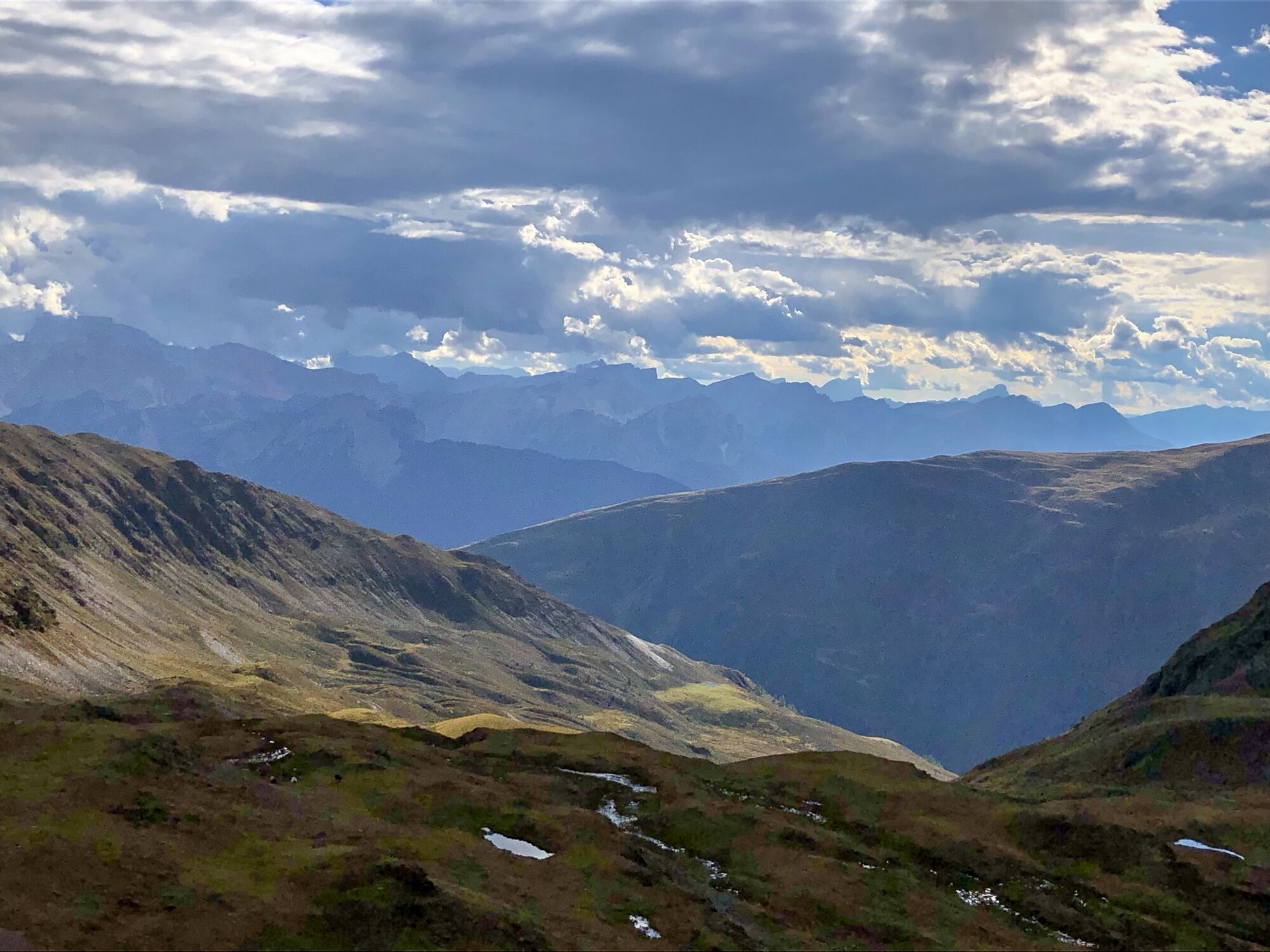
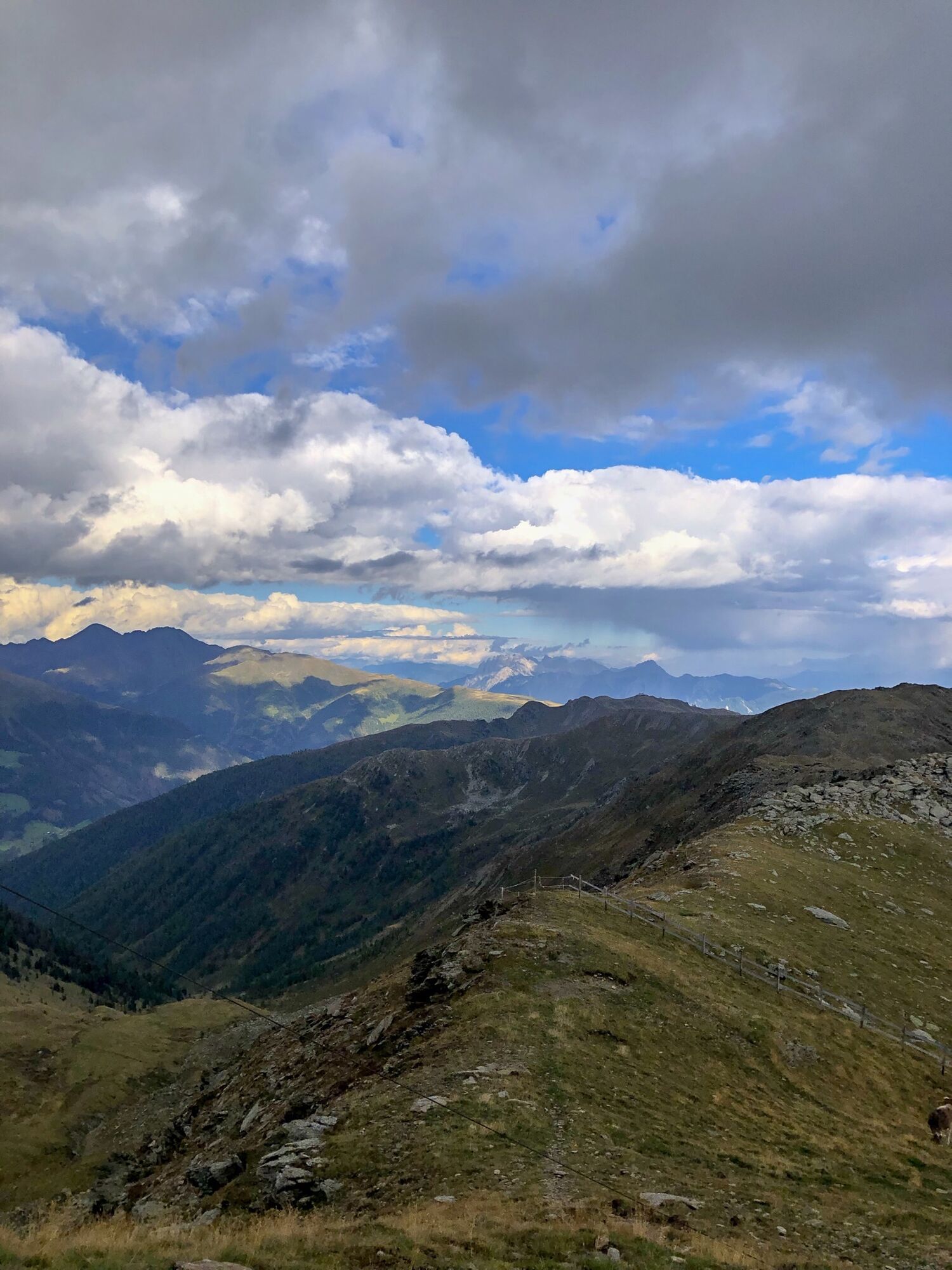
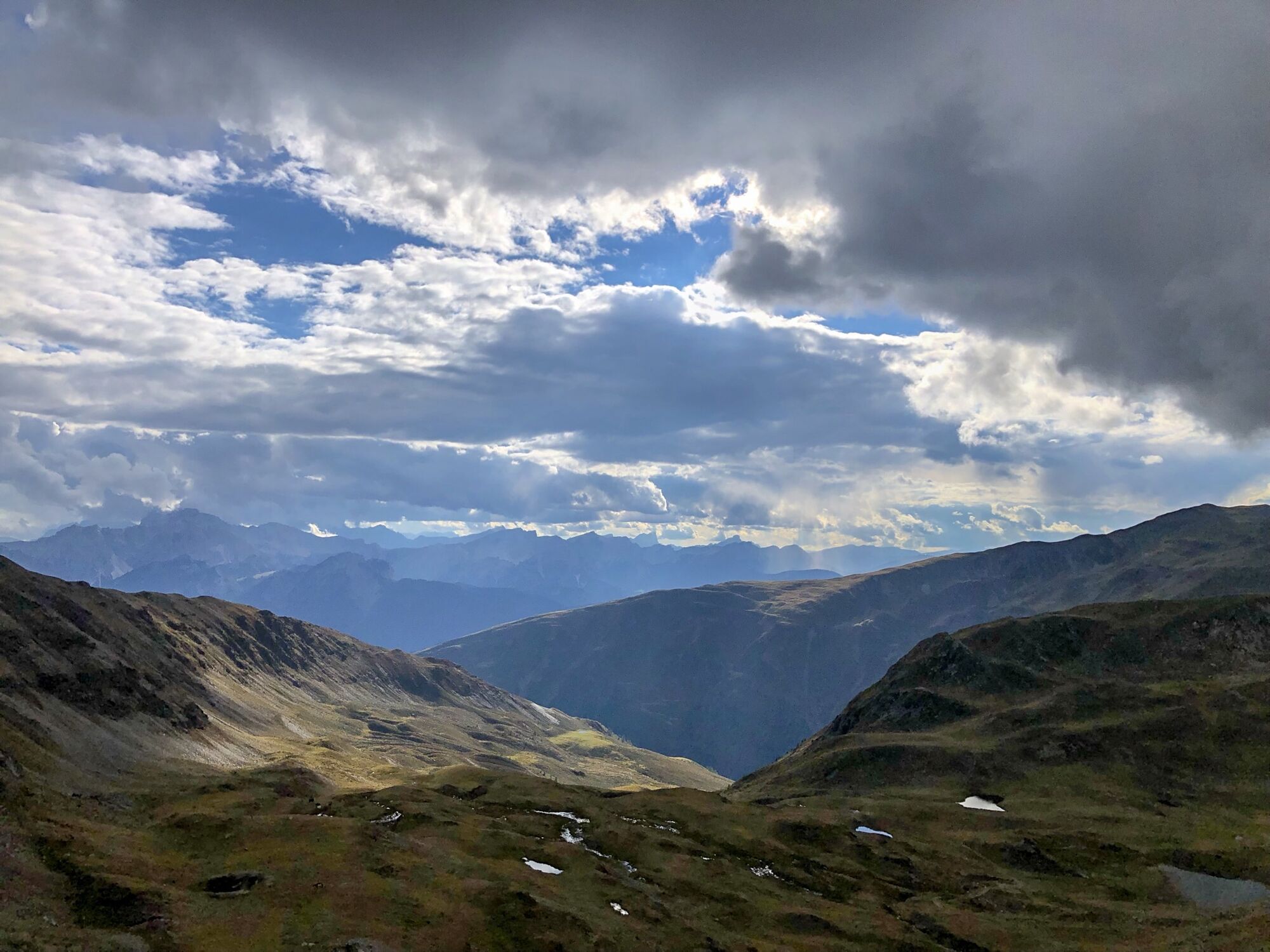
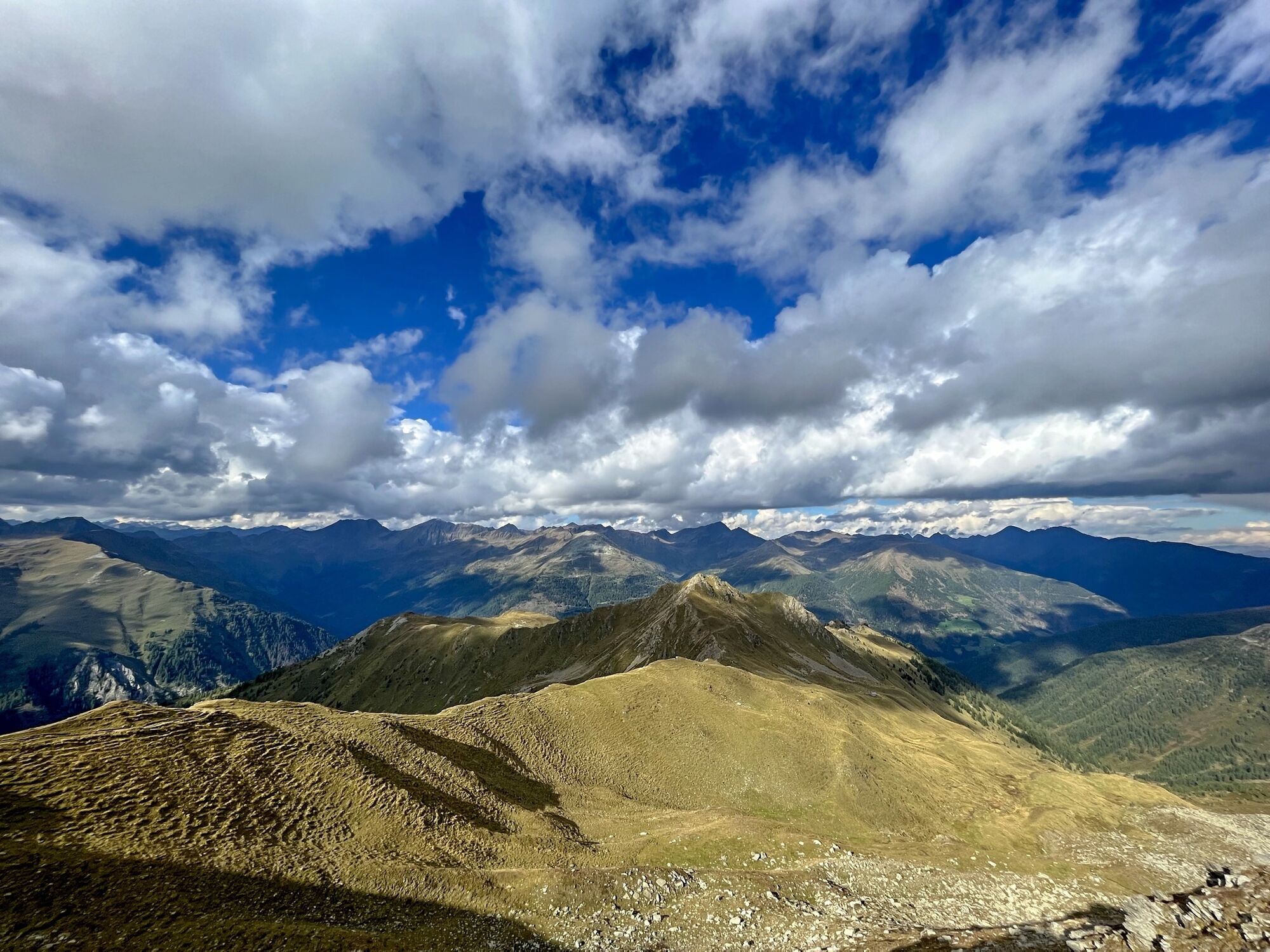
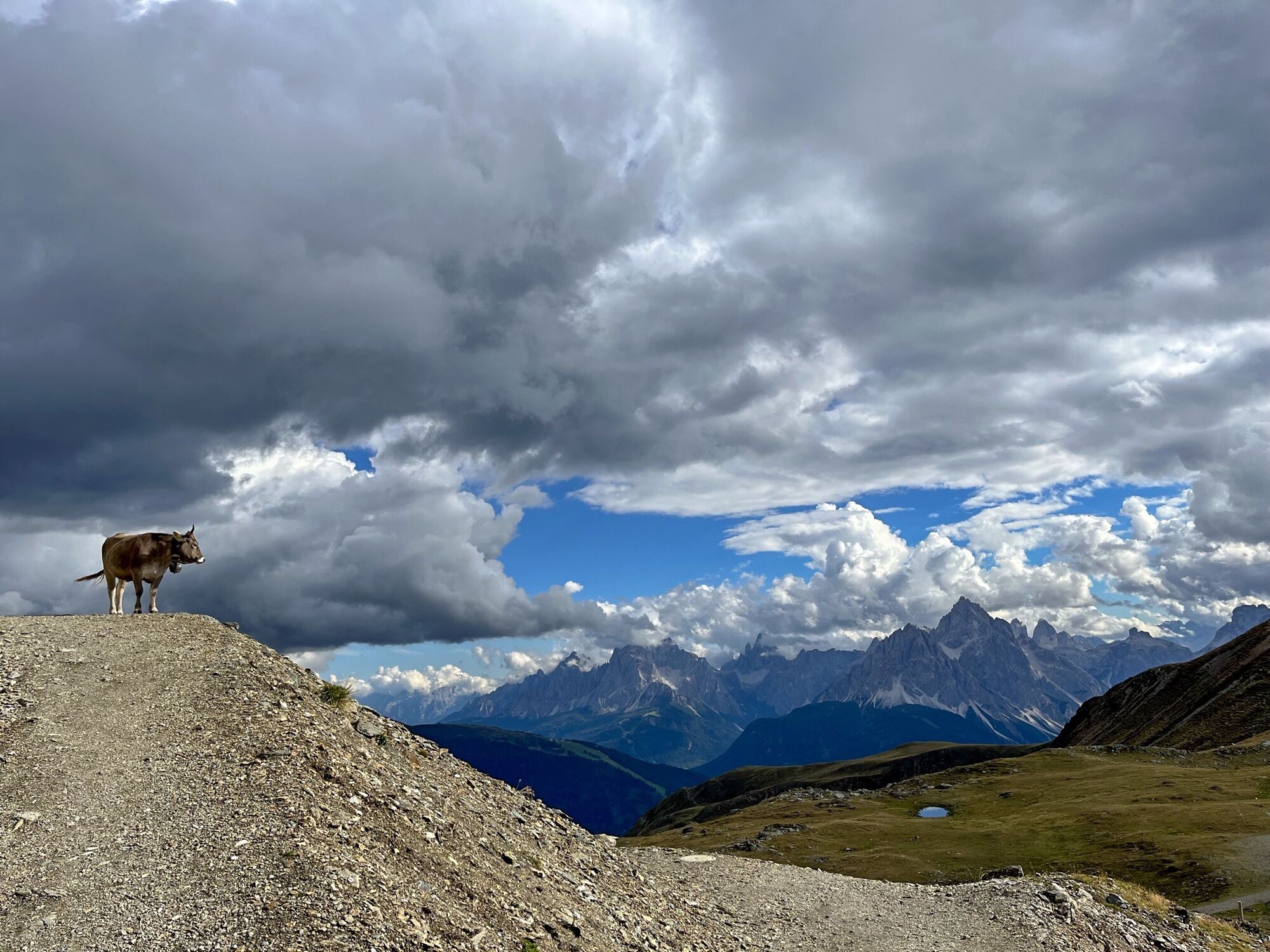
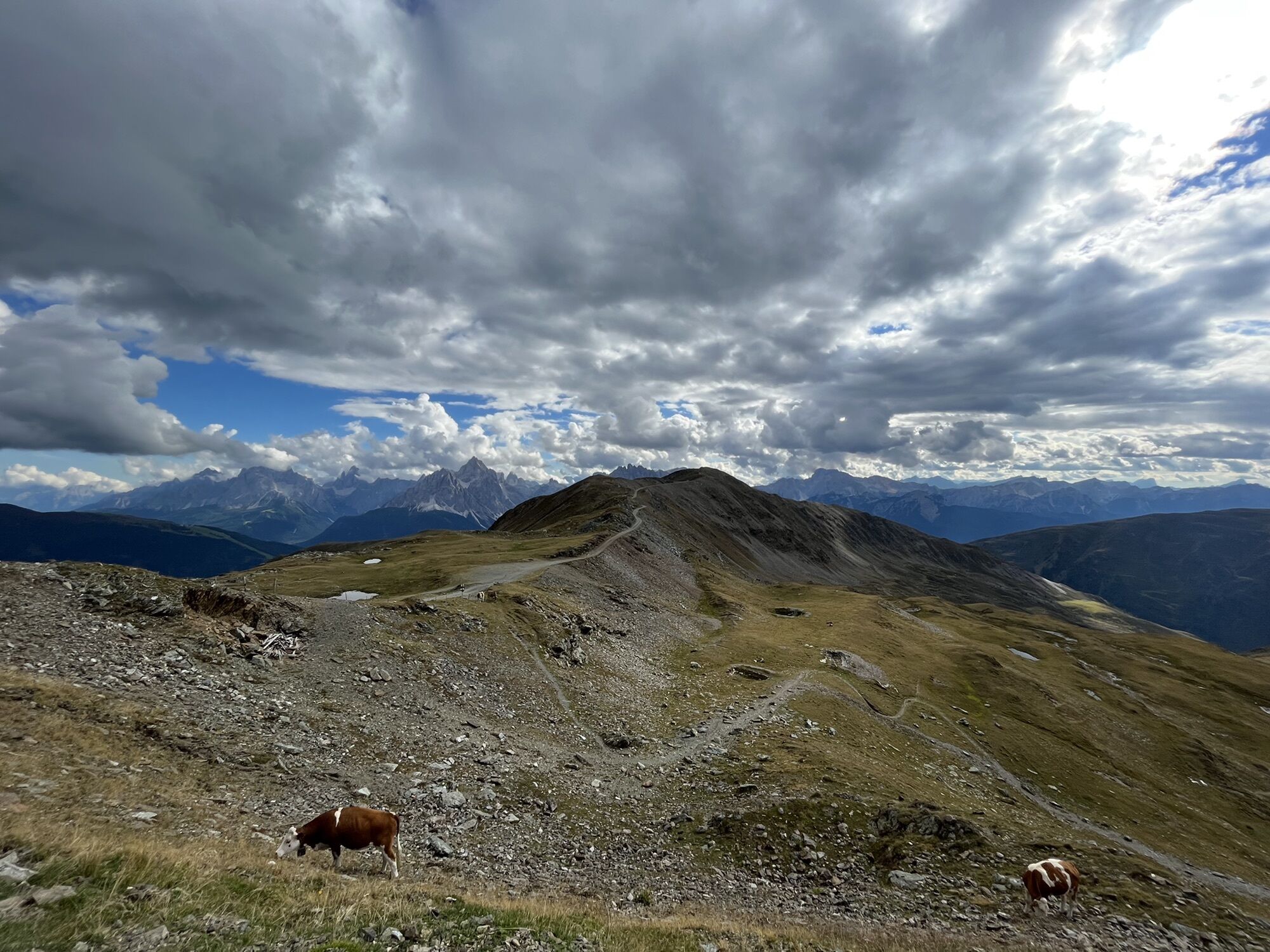
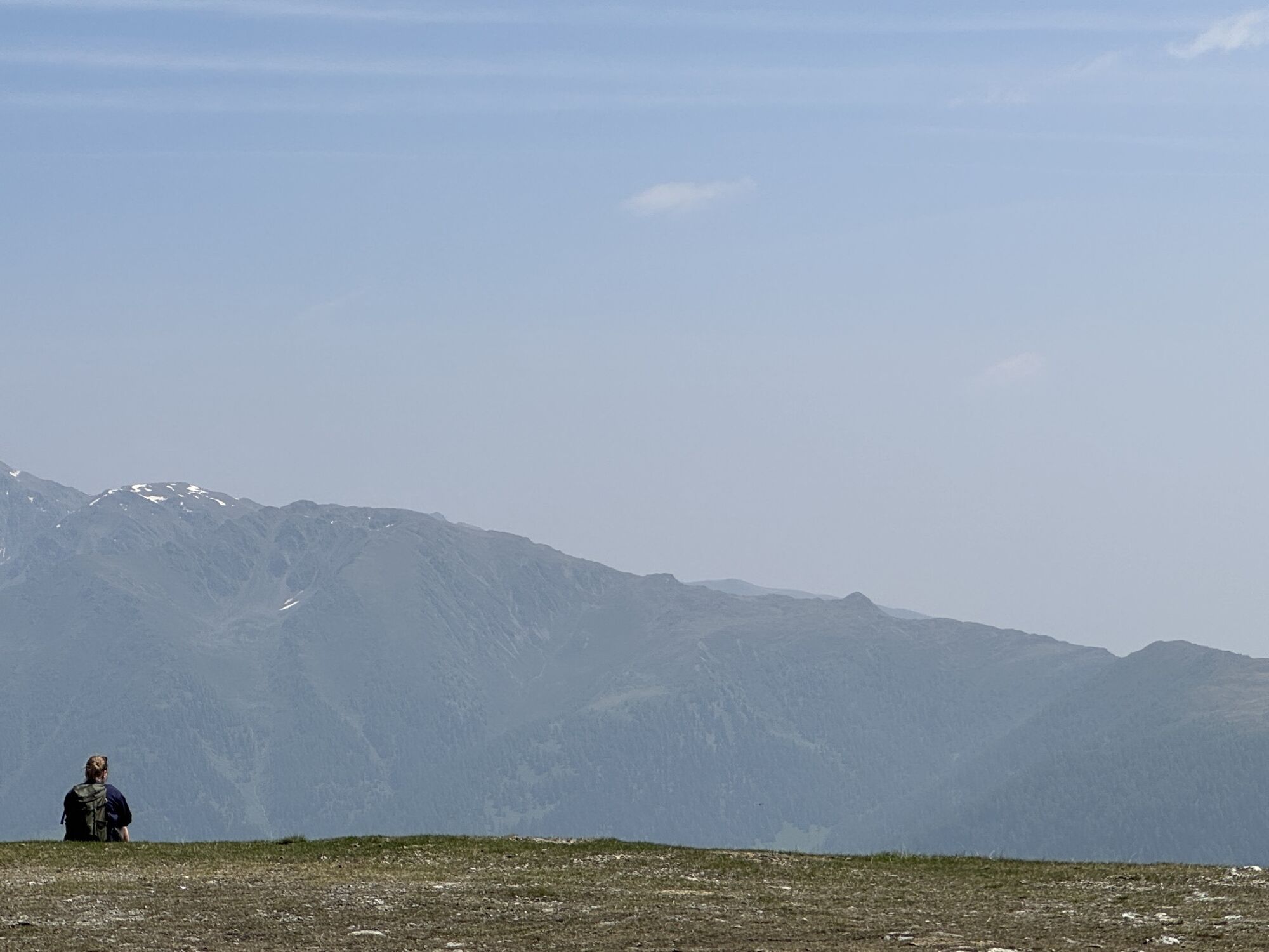
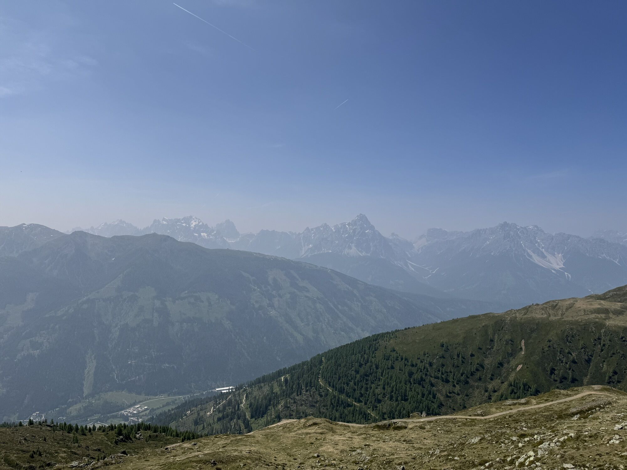
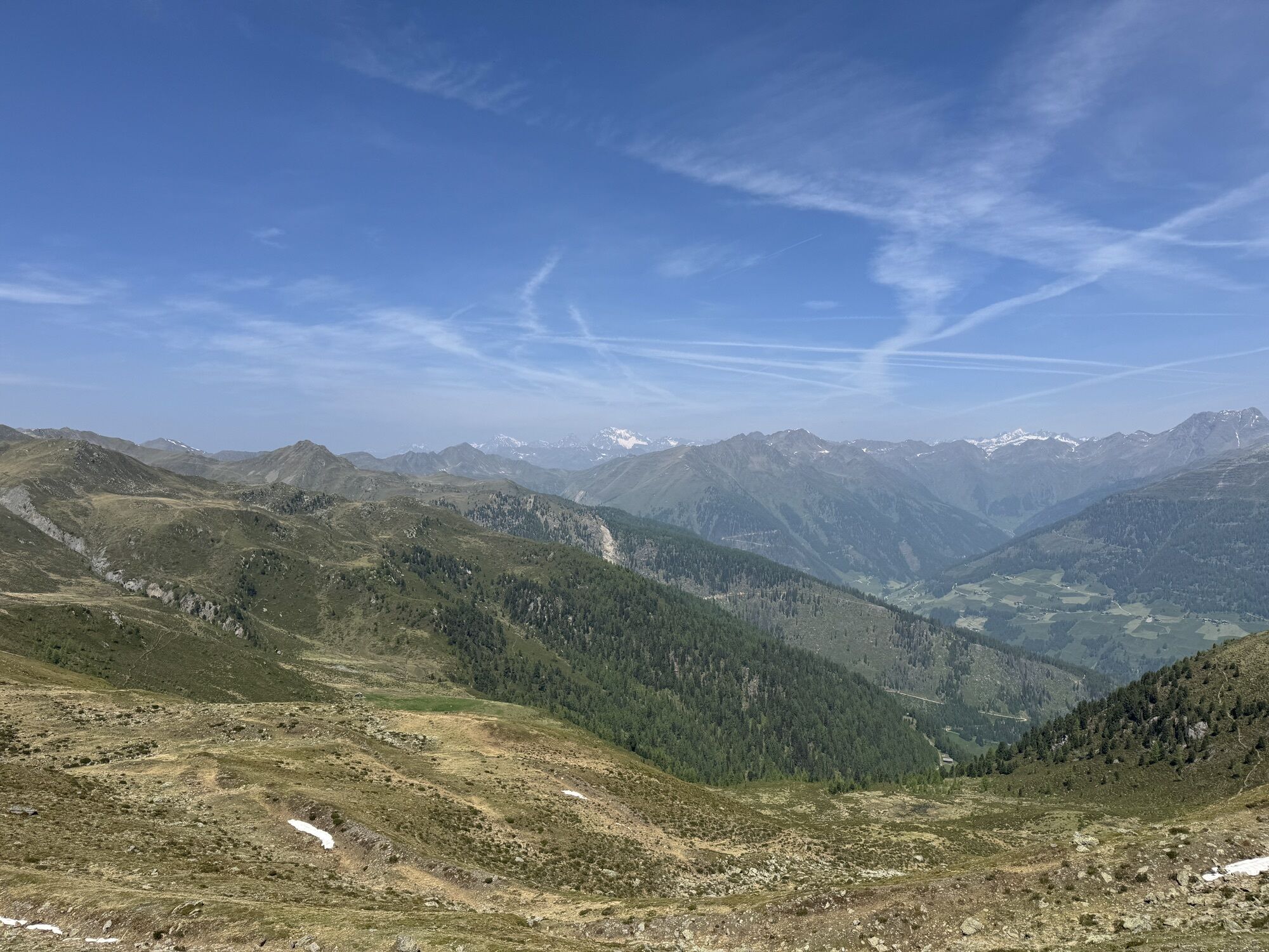
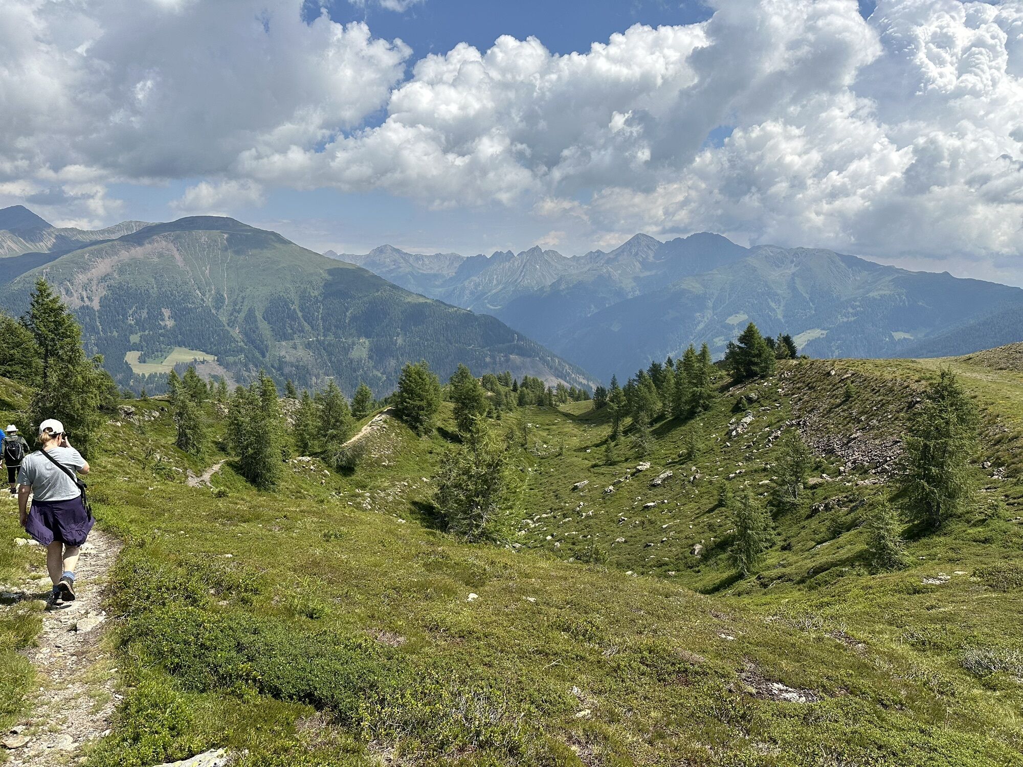
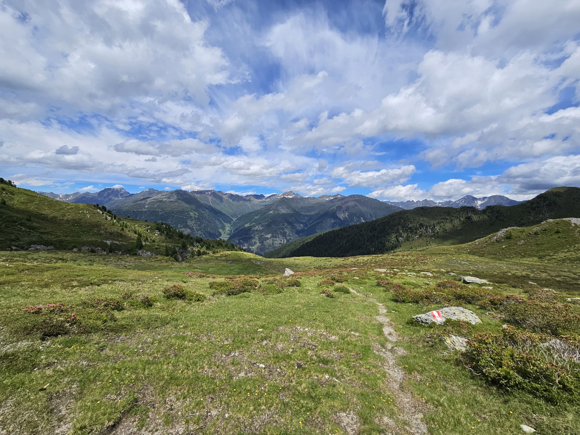
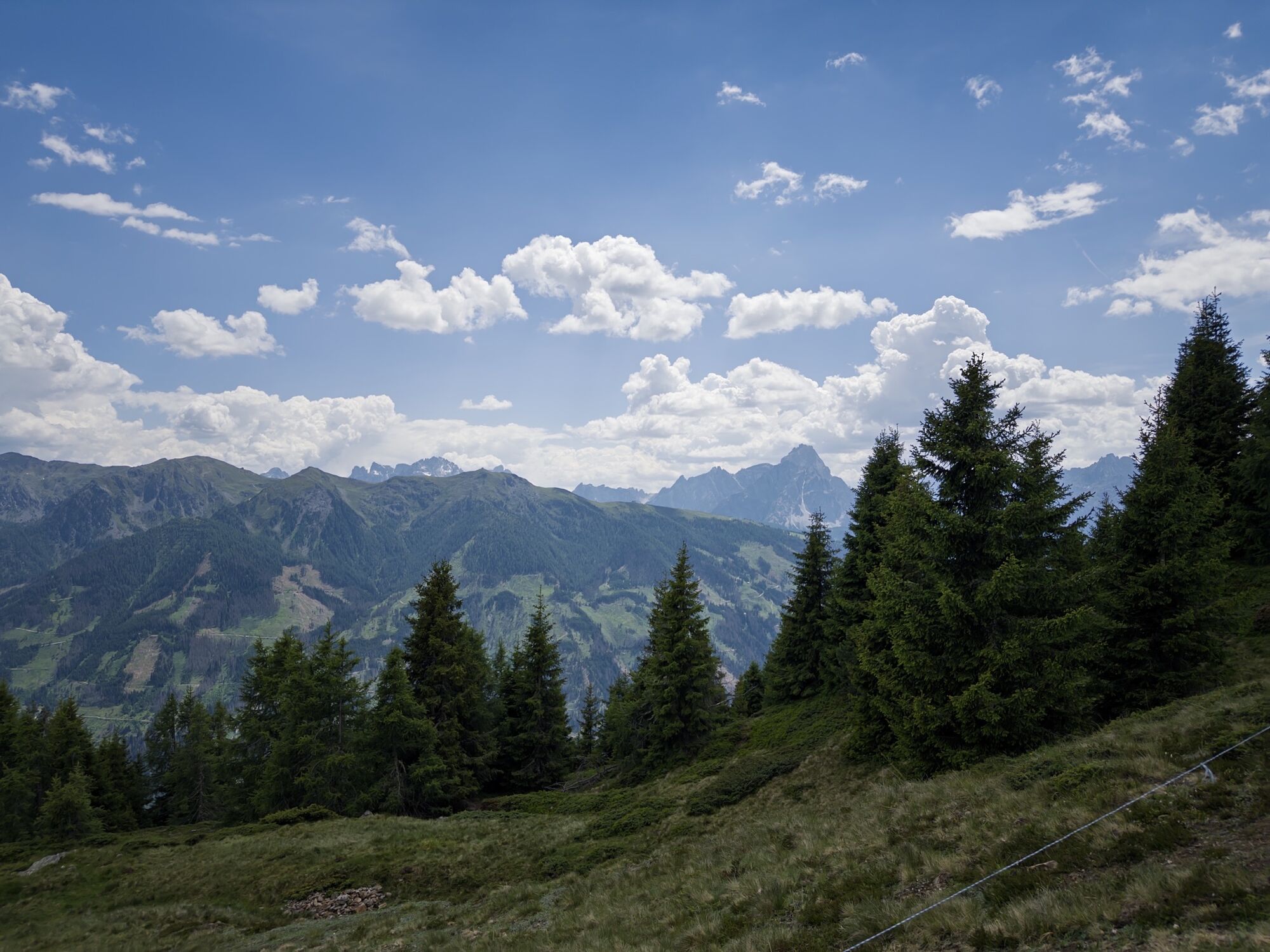
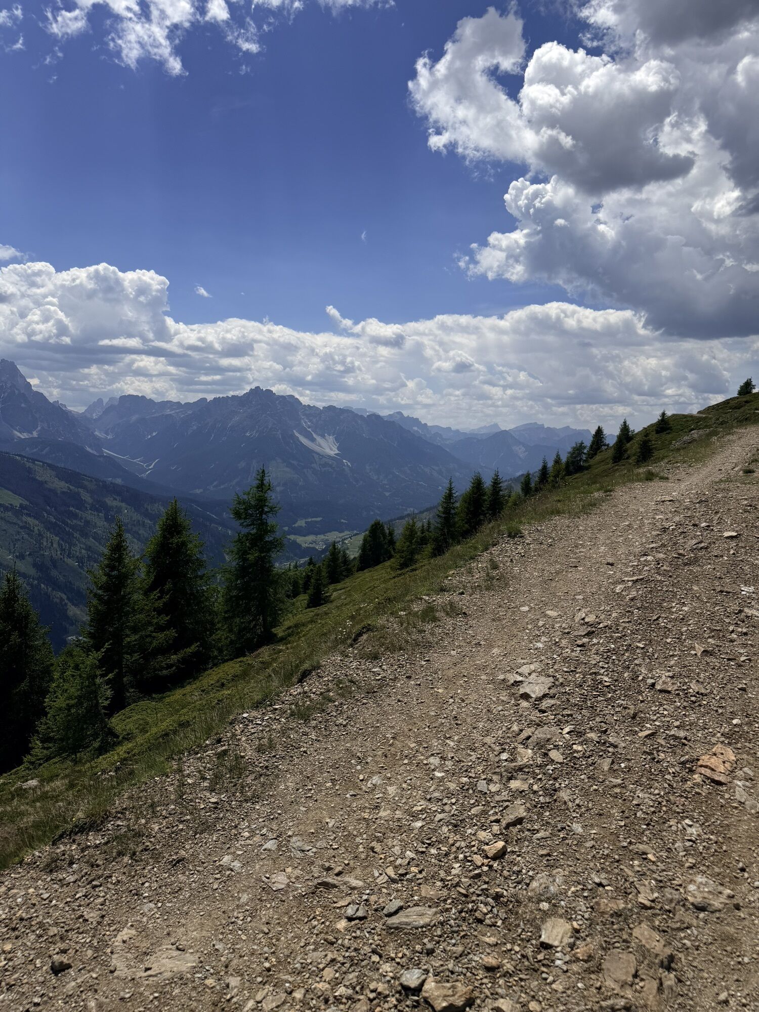
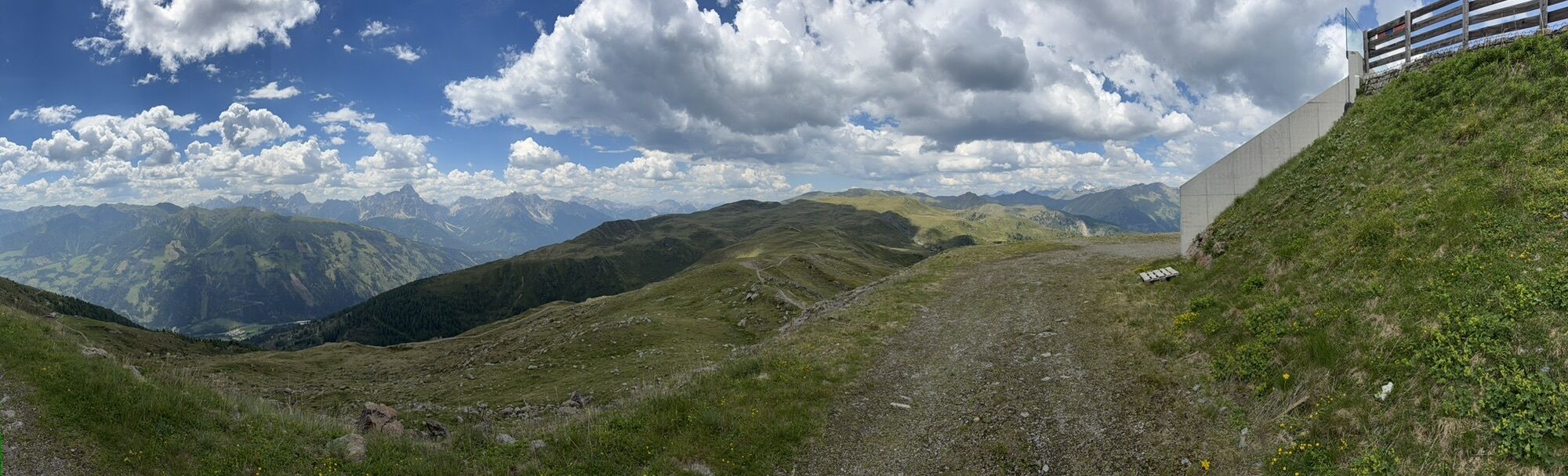
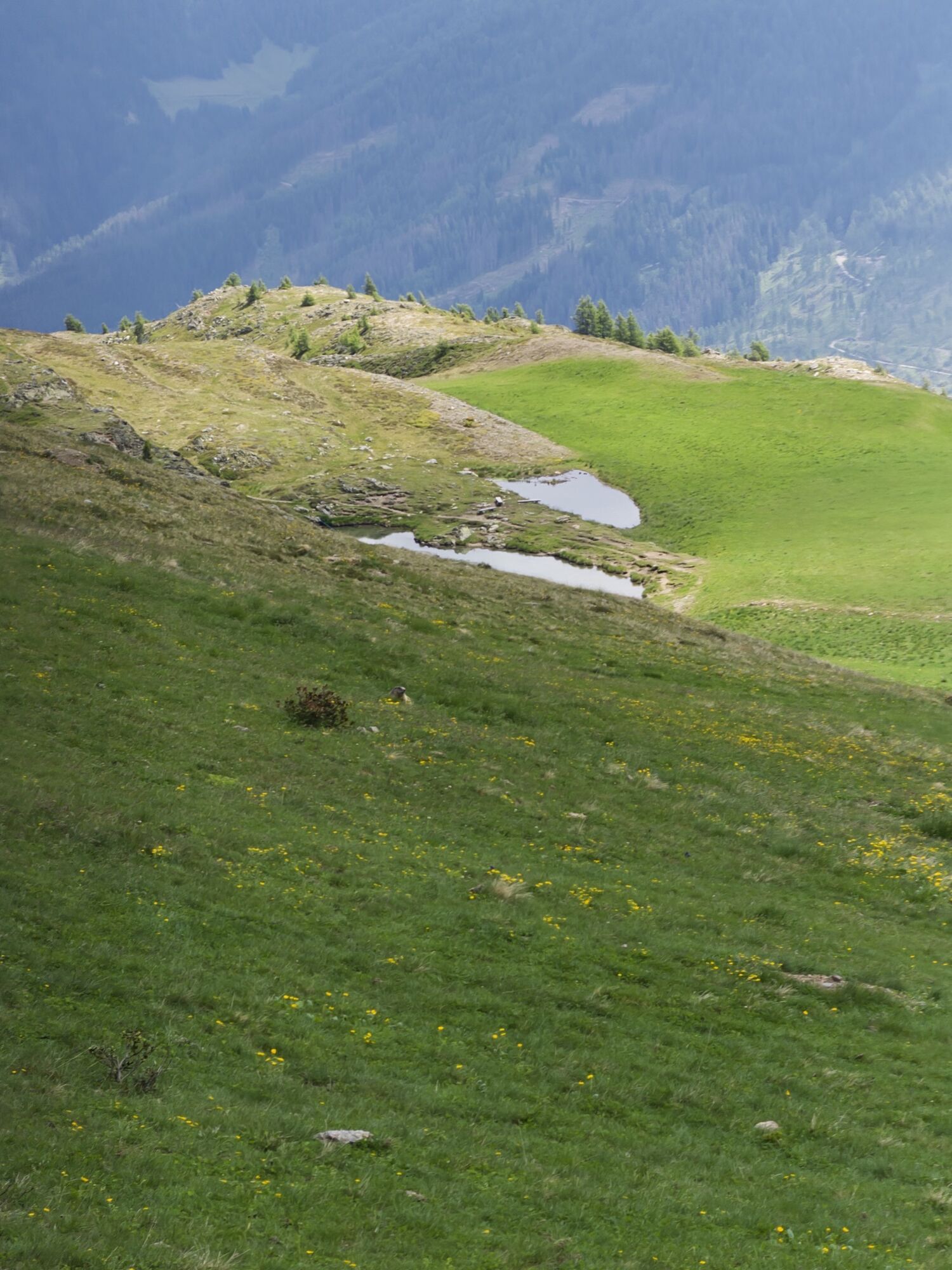
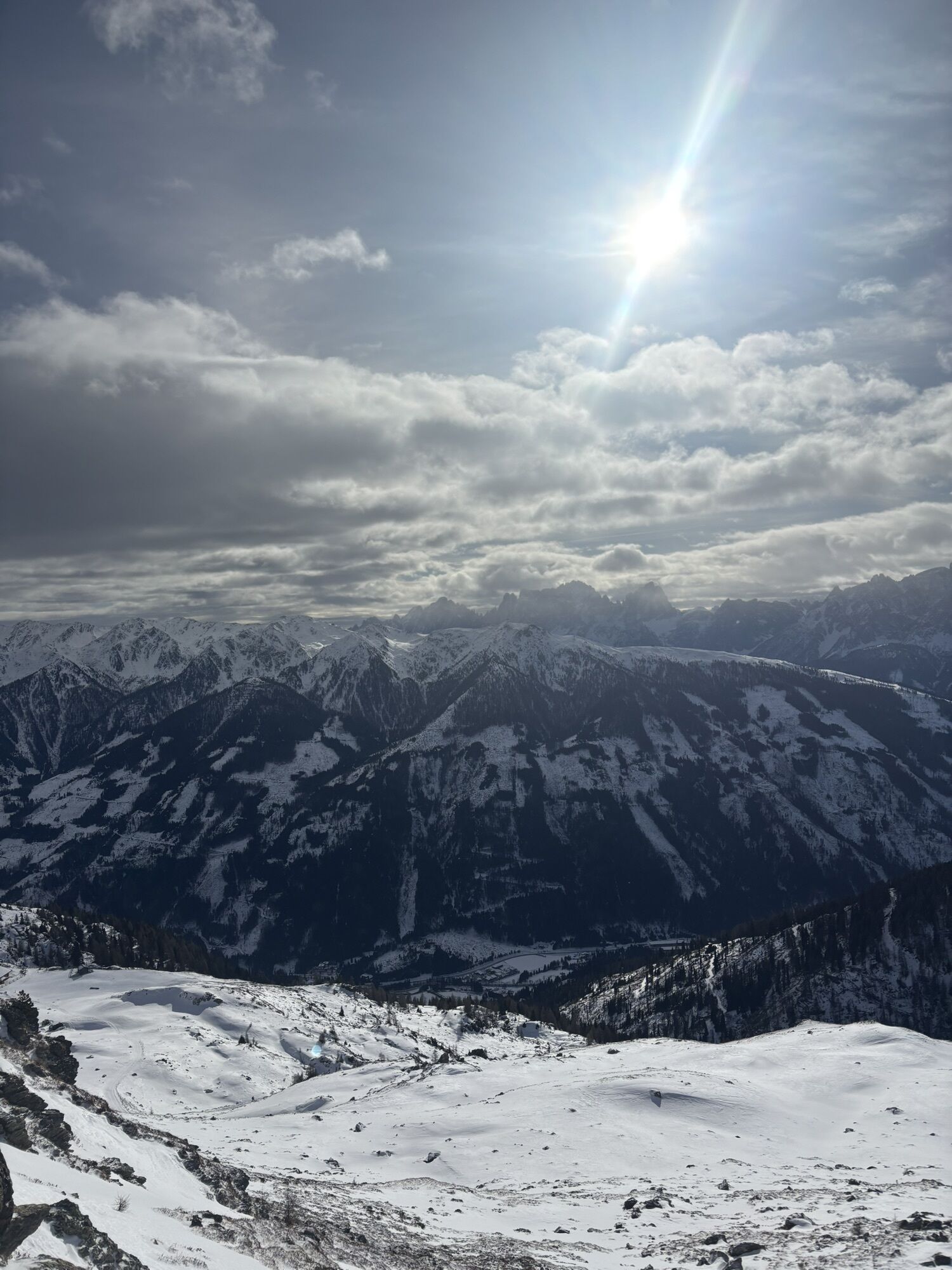
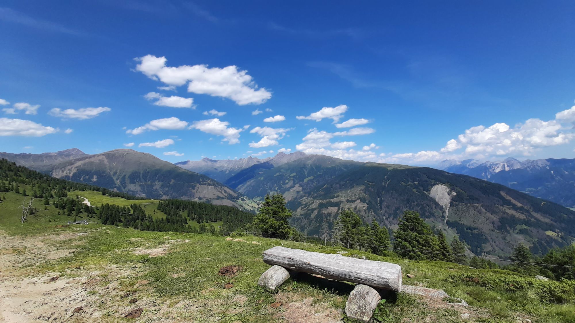
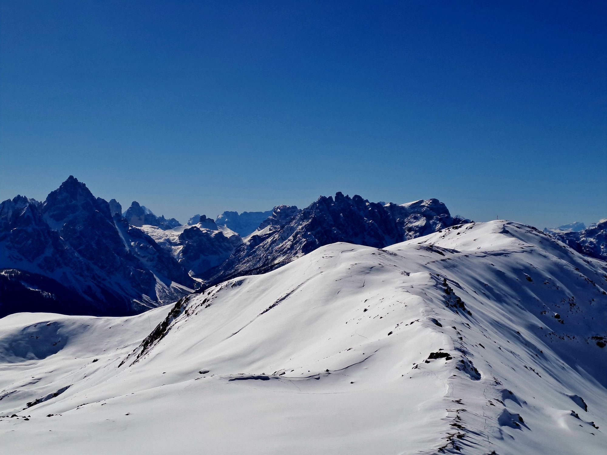
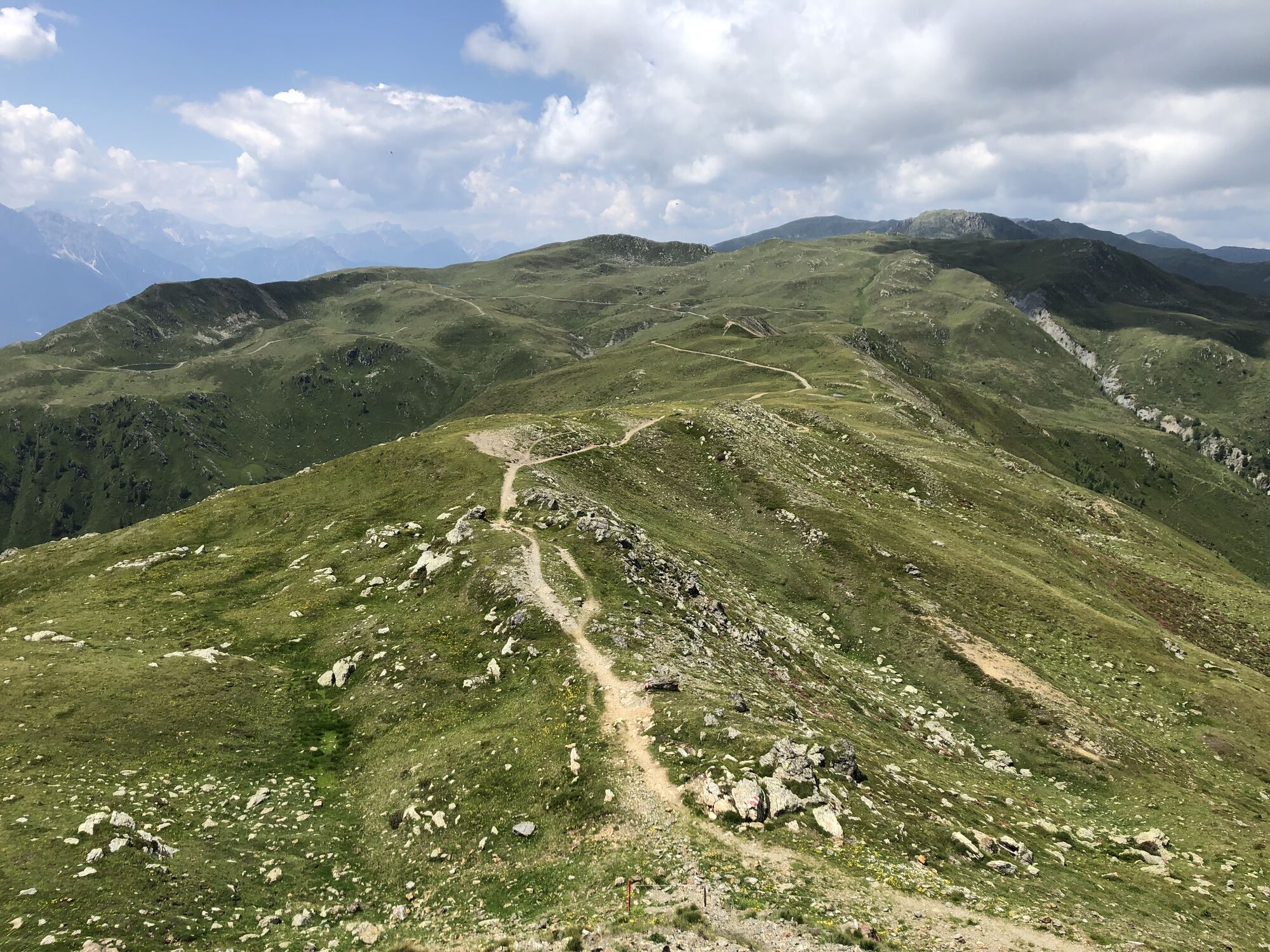
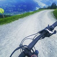
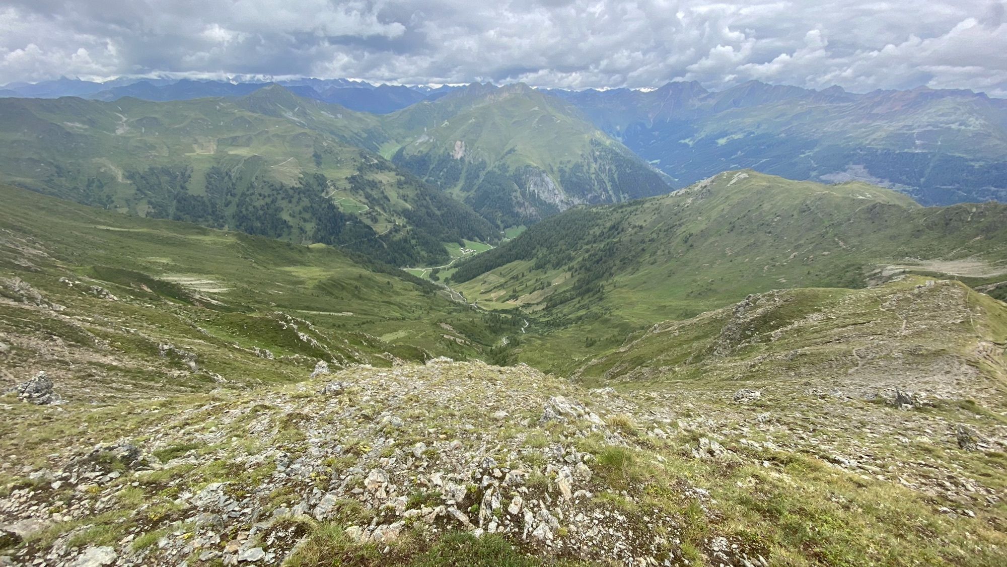
Marchkinkele
medio
Consigue este tour en tu móvil
Marchkinkele
medio
E-MTB
18,85
km
Escanee el código QR e inicie la navegación en la aplicación bergfex

Senderismo y rastreo


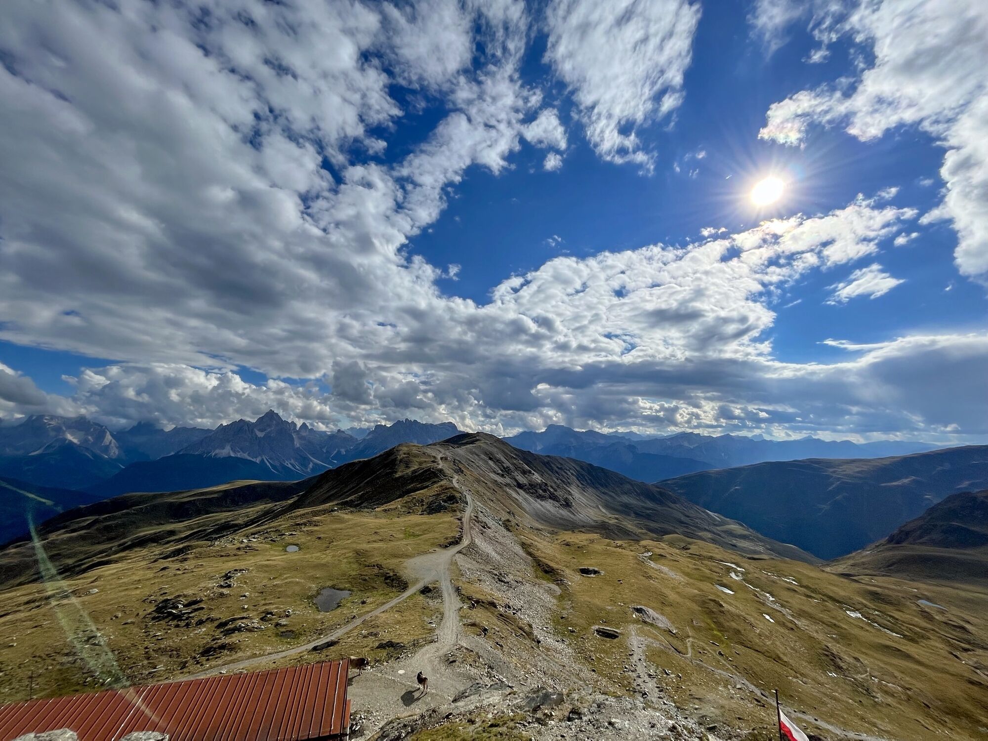
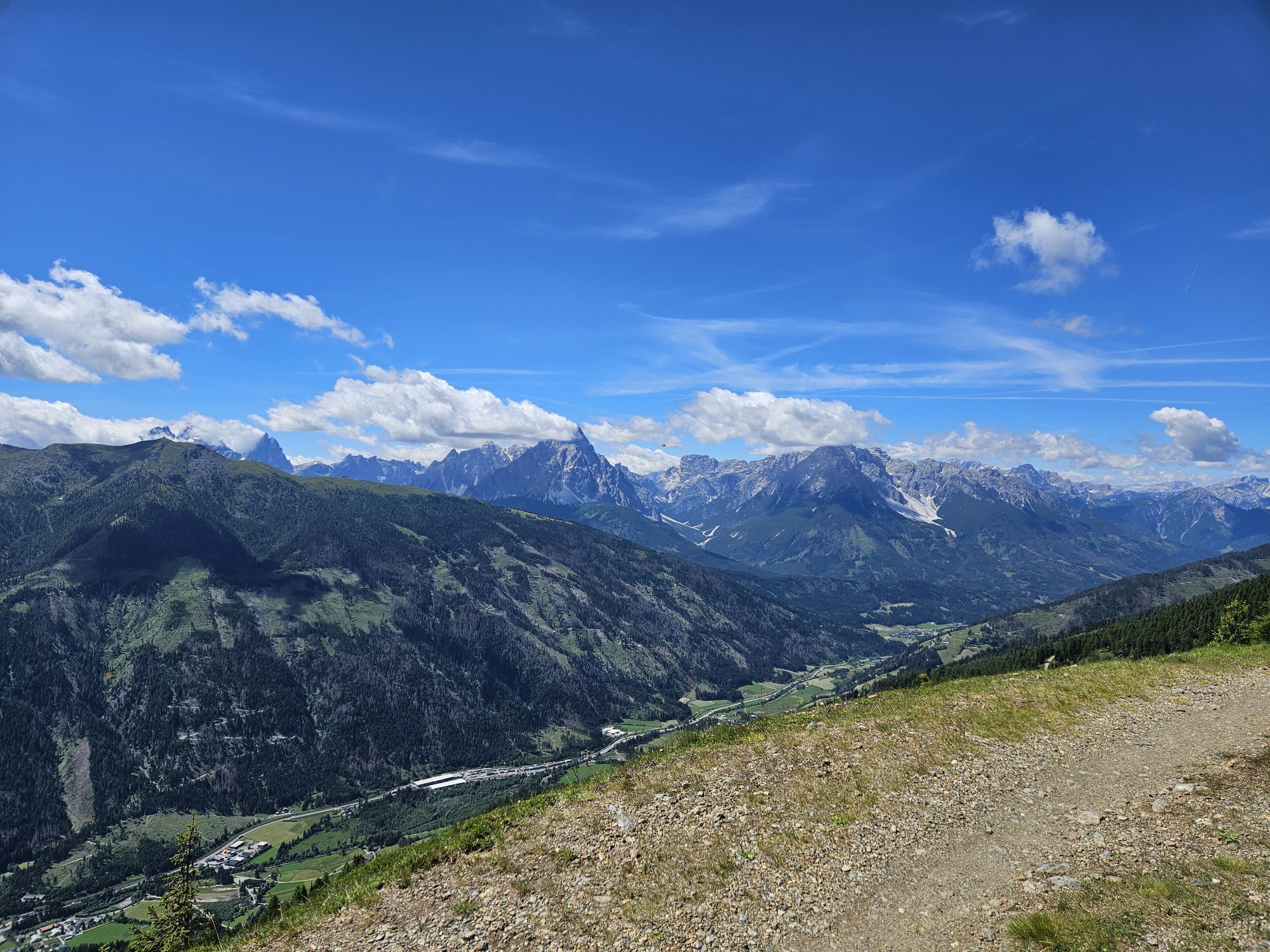
Marchkinkele
medio
Distancia
18,85
km
Duración
01:50
h
Ascenso
772
m
Nivel del mar
1.984 -
2.535
m
Descarga de pistas
Marchkinkele
medio
E-MTB
18,85
km
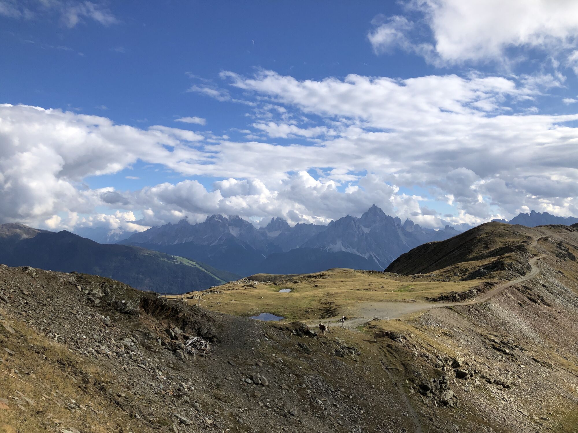
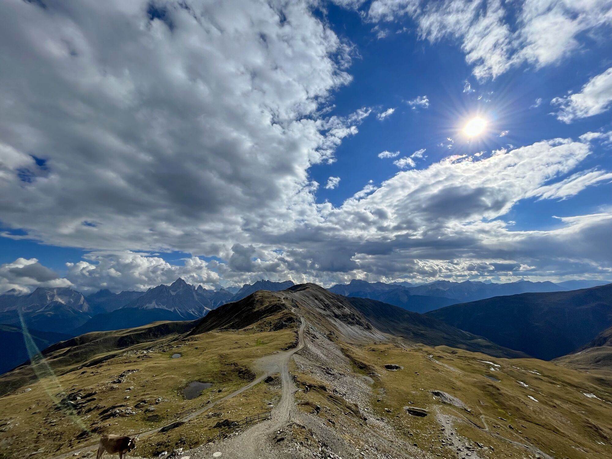
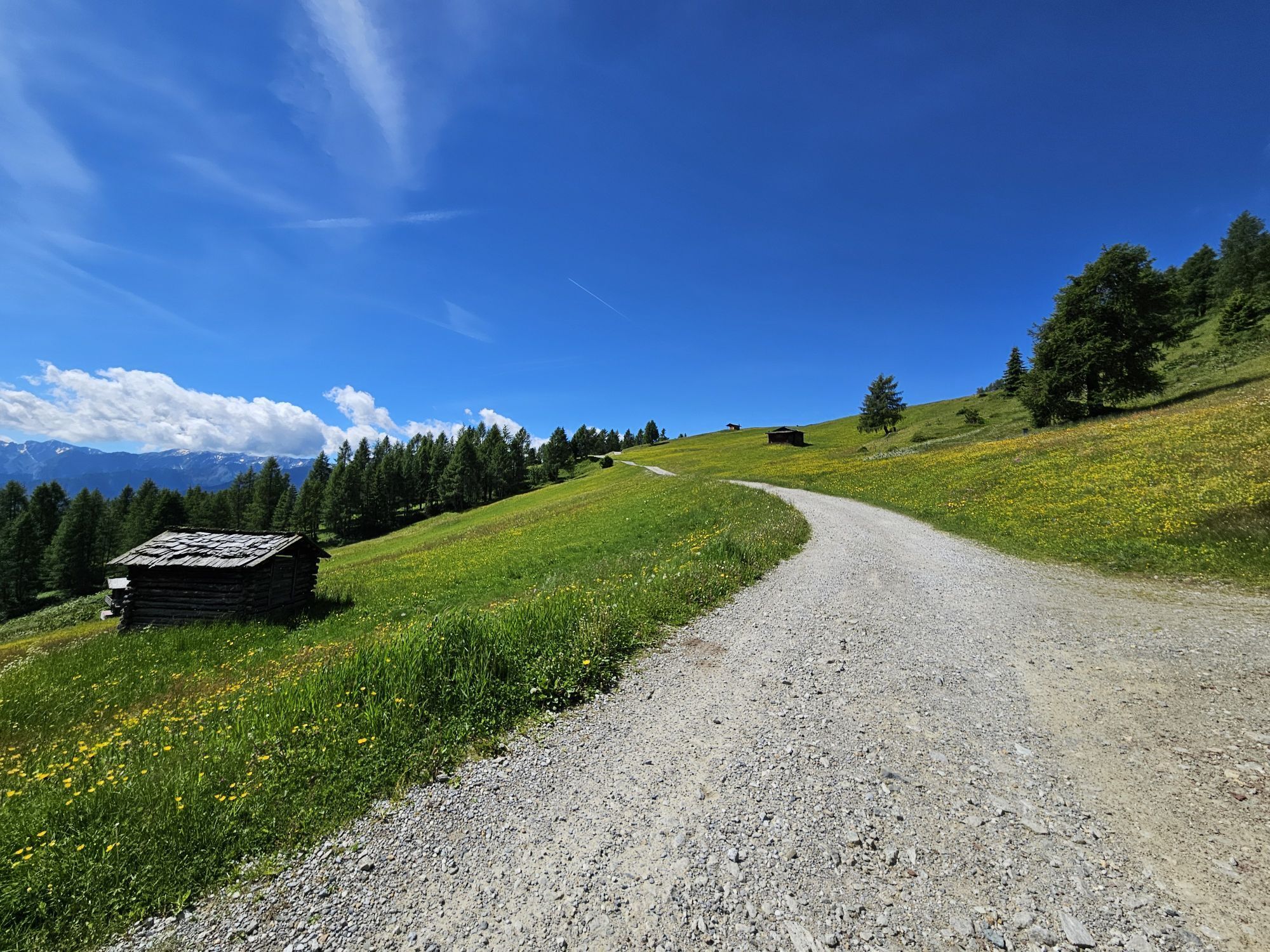

Ruta
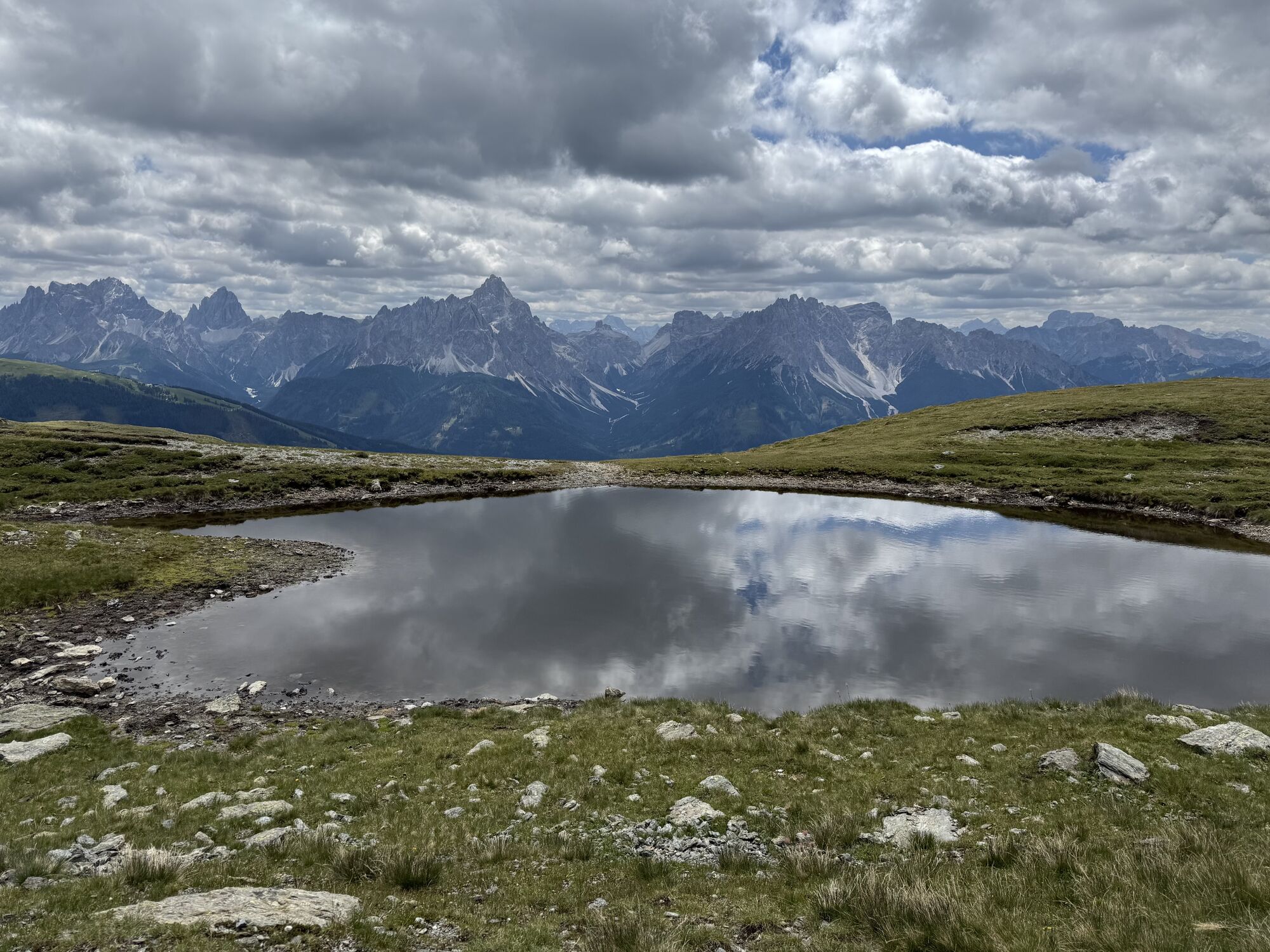
Thurntaler
(2.408 m)
Cumbre
3,5 km
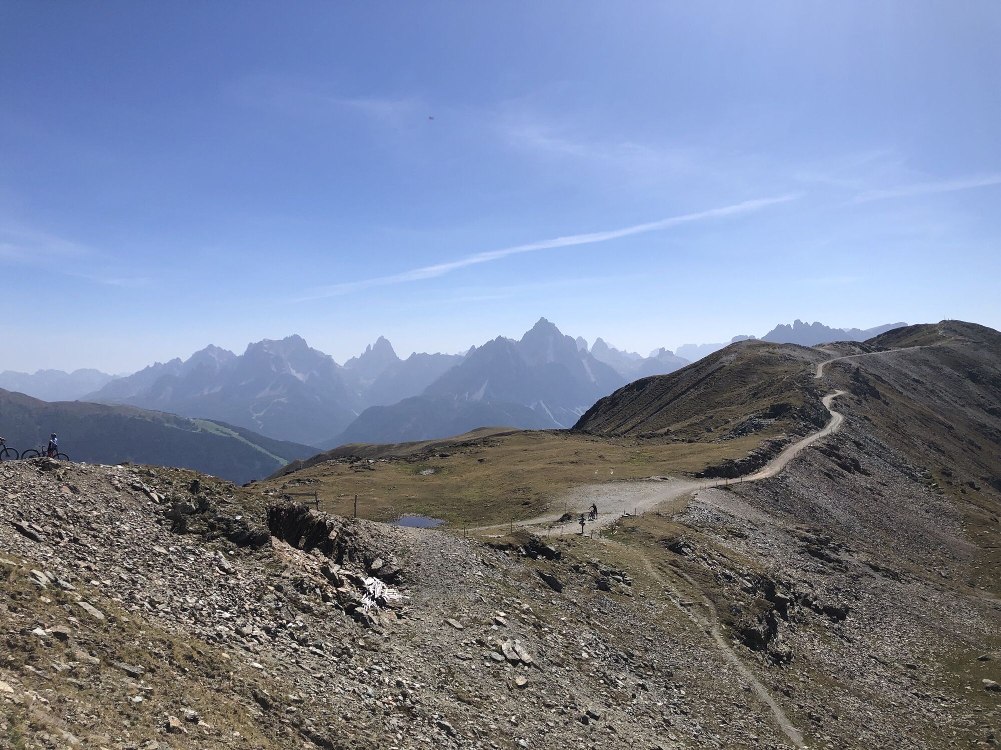
Astatt Sattel
(2.288 m)
Puerto de montaña
5,1 km
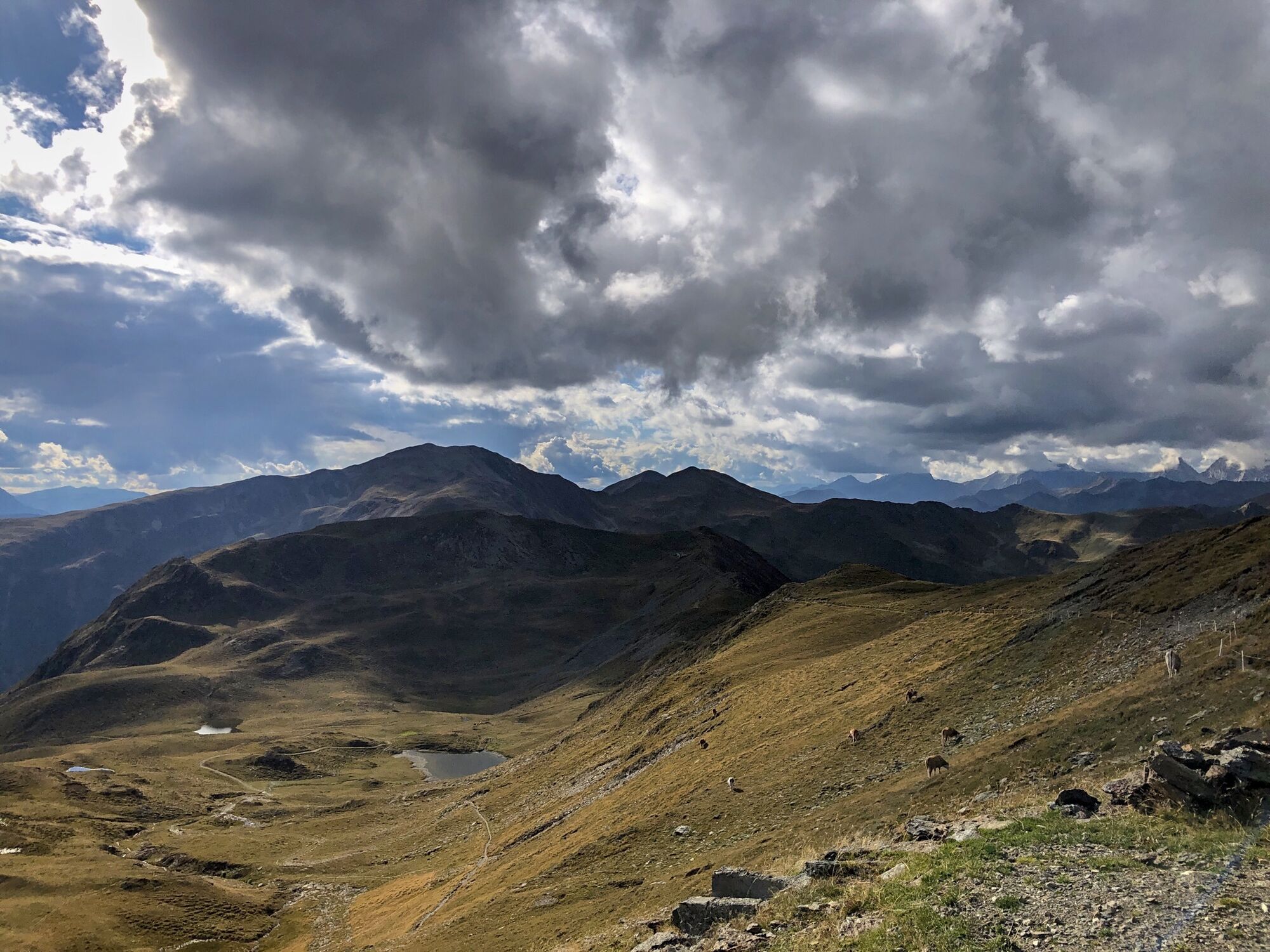
Hochrast - Pausa Alta
(2.433 m)
Cumbre
6,4 km
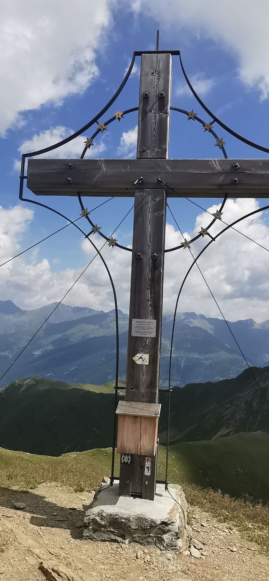
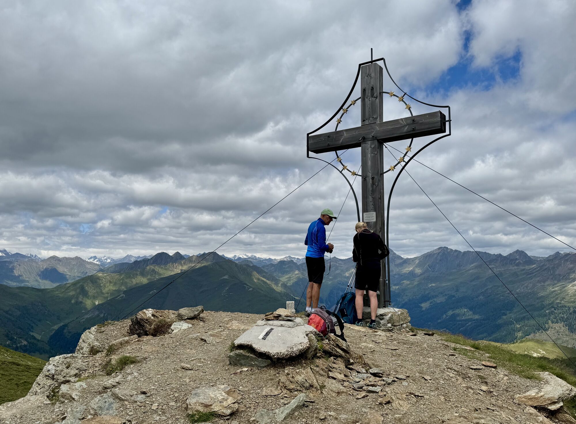
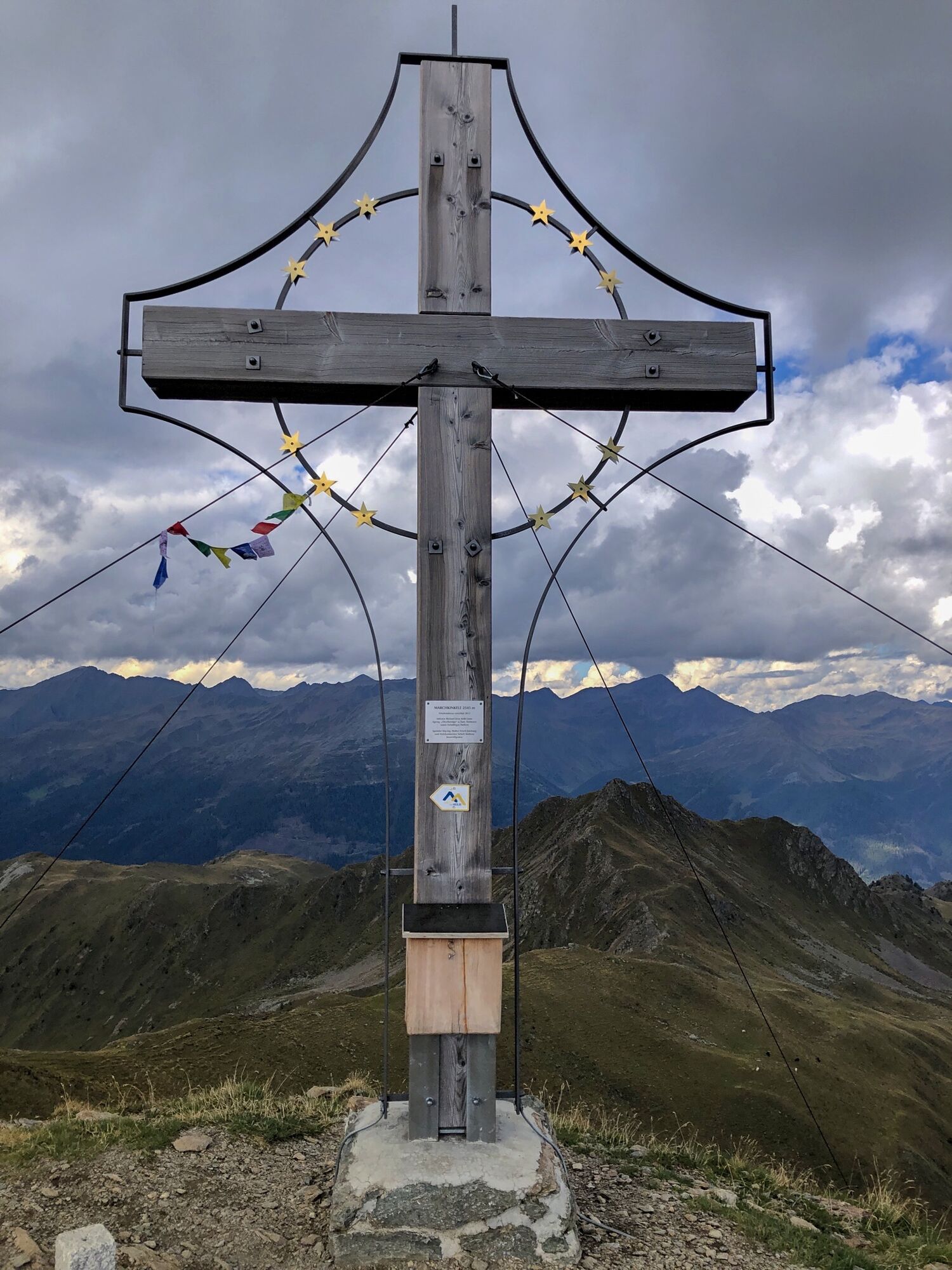
Marchkinkele - Cornetto Di Confine
(2.545 m)
Cumbre
9,7 km
Hochrast - Pausa Alta
(2.433 m)
Cumbre
13,0 km
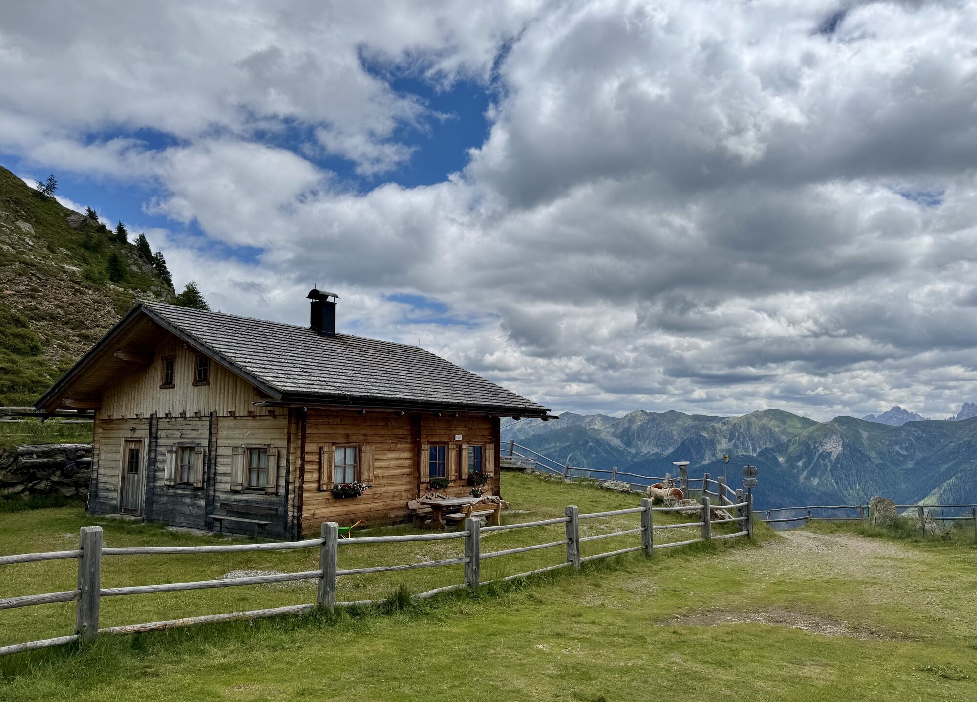
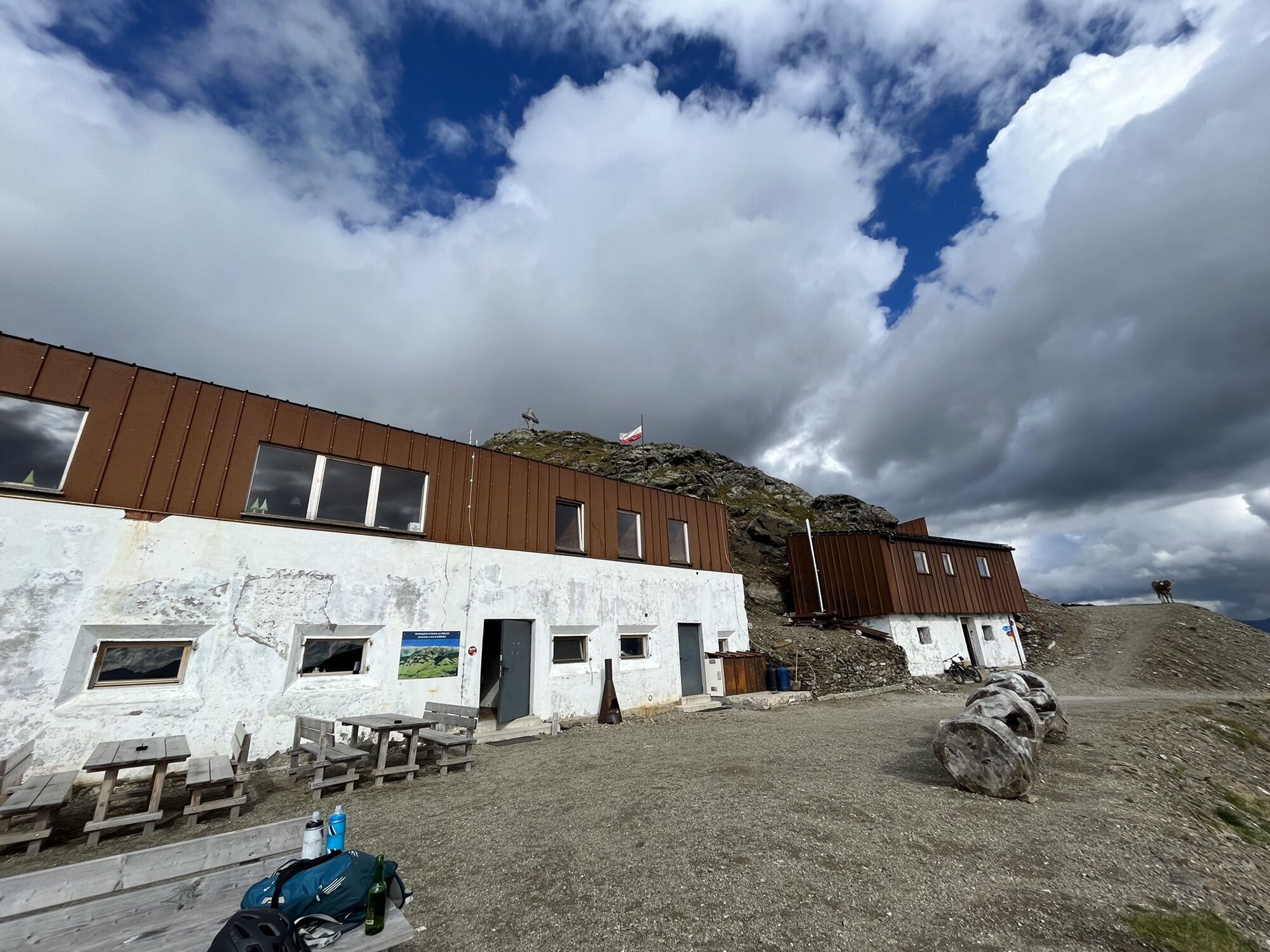
Gadein
(2.093 m)
Restaurante
17,9 km
Thurntaler Rast
(1.977 m)
Restaurante
18,8 km
Ruta
Marchkinkele
medio
E-MTB
18,85
km
Thurntaler
(2.401 m)
Estación de góndola
3,4 km
Thurntaler
(2.408 m)
Cumbre
3,5 km
Astatt Sattel
(2.288 m)
Puerto de montaña
5,1 km
Hochrast - Pausa Alta
(2.433 m)
Cumbre
6,4 km
Marchkinkele - Cornetto Di Confine
(2.545 m)
Cumbre
9,7 km
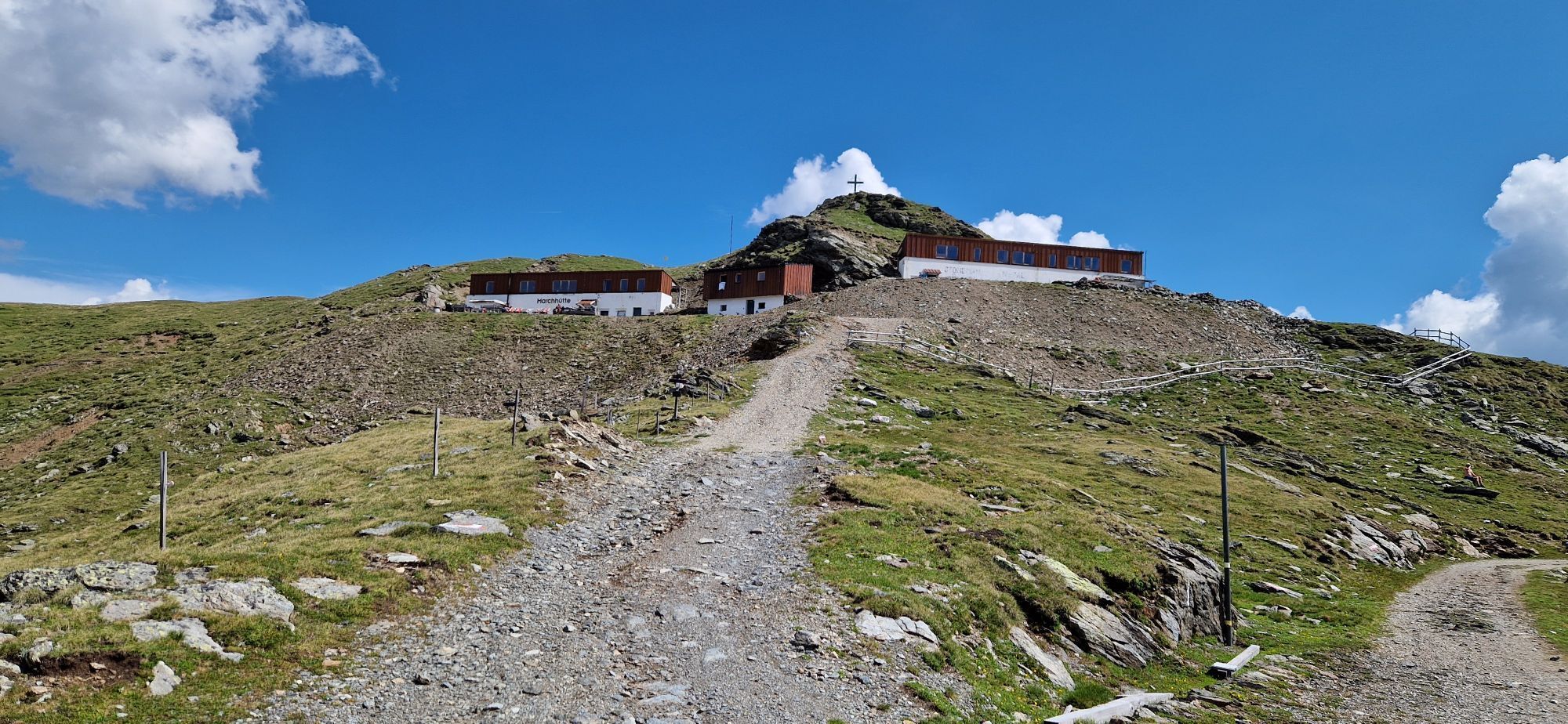
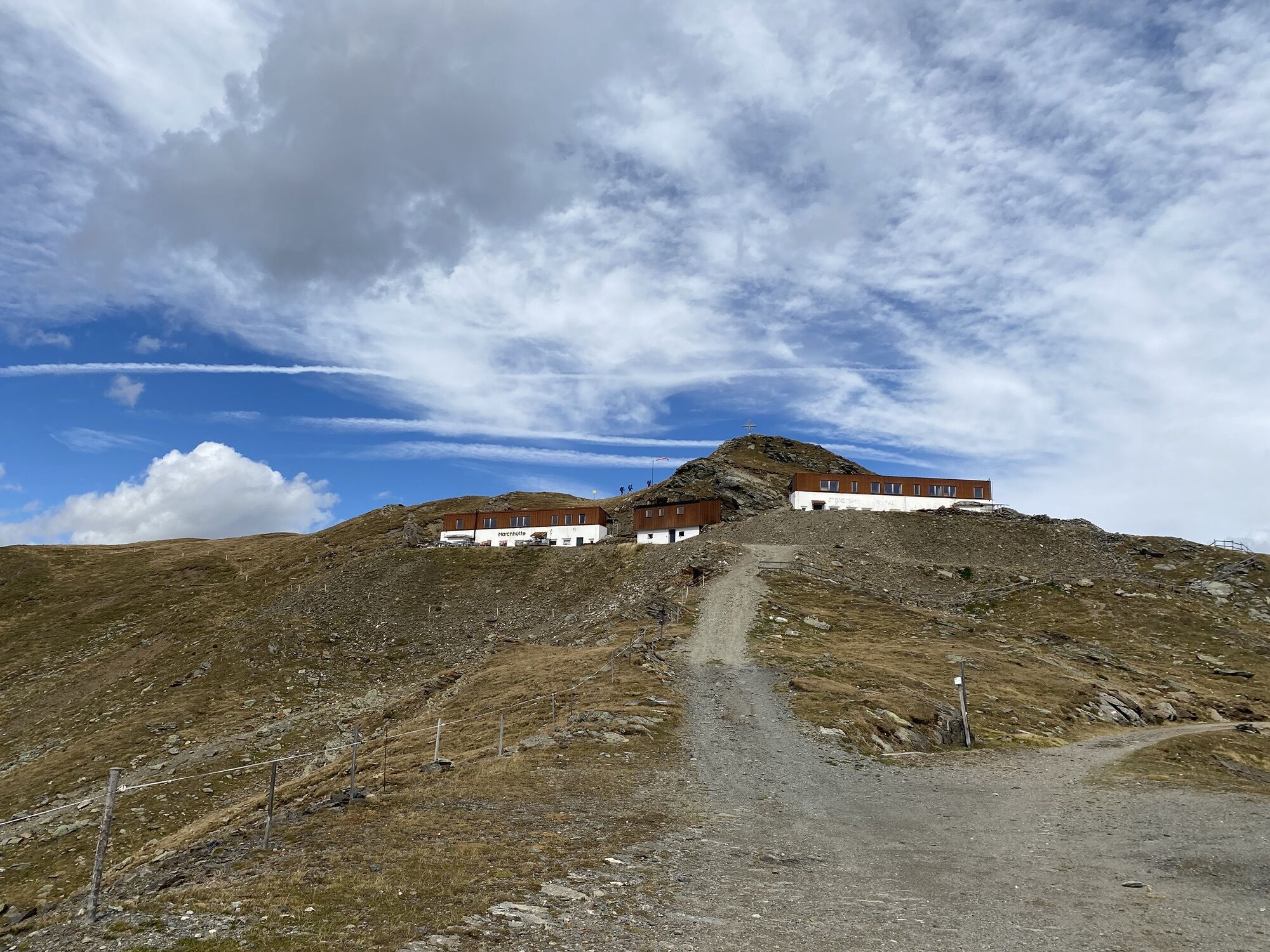
Marchhütte
(2.526 m)
Refugio
10,0 km
Hochrast - Pausa Alta
(2.433 m)
Cumbre
13,0 km
Astatt Sattel
(2.288 m)
Puerto de montaña
14,2 km
Gadein
(2.093 m)
Restaurante
17,9 km
Thurntaler Rast
(1.977 m)
Restaurante
18,8 km
Error
Se ha producido un error. Por favor, inténtelo de nuevo.
Último seguimiento
2 hace días
Información sobre la ruta
Ruta
Parkplatz bei der Thurntaler Rast
Equipamiento
EMTB
Valoraciones
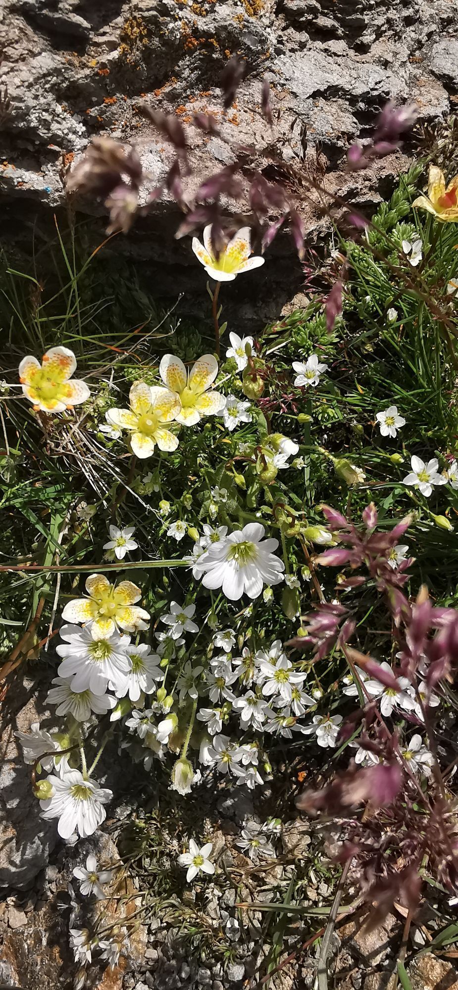
Actividades a lo largo del recorrido


Rutas populares en los alrededores
-
4,9
Drei Zinnen
medioSenderismo 19,6 km -
4,8
Fischleintal zu den 3 Zinnen Hütte mit Besteigung des Sextner Steins
medioSenderismo 16,2 km -
4,5
Kartitsch-Obstansersee Hütte
medioSenderismo 13,1 km -
4,8
Seerunde
luzSenderismo 2,66 km -
4,8
Rotwandwiesen kreuzbergpass rundweg
medioSenderismo 12,0 km -
3,9
Rotwandspitze
medioVía ferrata 10,6 km -
4,8
Von Kalkstein auf das Toblacher Pfannhorn (2.663 m) und Marchkinkele
medioSenderismo 14,2 km -
4,8
Sillianer Hütte 2.447 m
medioSenderismo 16,8 km -
4,9
Fischleintalhütte - Rotwandwiesen - Rotwandköpfe - Talschlusshütte- Fischleintalhütte
medioSenderismo 13,4 km -
3,9
Helm und Sillianer Hütte
luzSenderismo 8,17 km
Senderismo y rastreo

Más de 550.000 sugerencias de excursiones, mapas detallados y un intuitivo planificador de rutas hacen de esta aplicación una herramienta imprescindible para todos los amantes de la naturaleza.

No se pierda las ofertas y la inspiración para sus próximas vacaciones
Suscribirse al boletín de noticias
Error
Se ha producido un error. Por favor, inténtelo de nuevo.
Gracias por inscribirse
Su dirección de correo electrónico se ha añadido a la lista de correo.
Viajes por Europa
Austria
Suiza
Alemania
Italia
Eslovenia
Francia
Países Bajos
Belgium
Polonia
Liechtenstein
República Checa
Slovakia
España
Croacia
Bosnia y Herzegovina
Luxemburgo
Andorra
Portugal
Iceland
United Kingdom
Ireland
Greece
Albania
North Macedonia
Malta
Norway
Montenegro
Moldova
Kosovo
Hungary
San Marino
Romania
Estonia
Latvia
Belarus
Cyprus
Lithuania
Serbia
Bulgaria
Monaco
Denmark
Sweden
Finland