






Hintere Goinger Halt summit tour


Ascent:
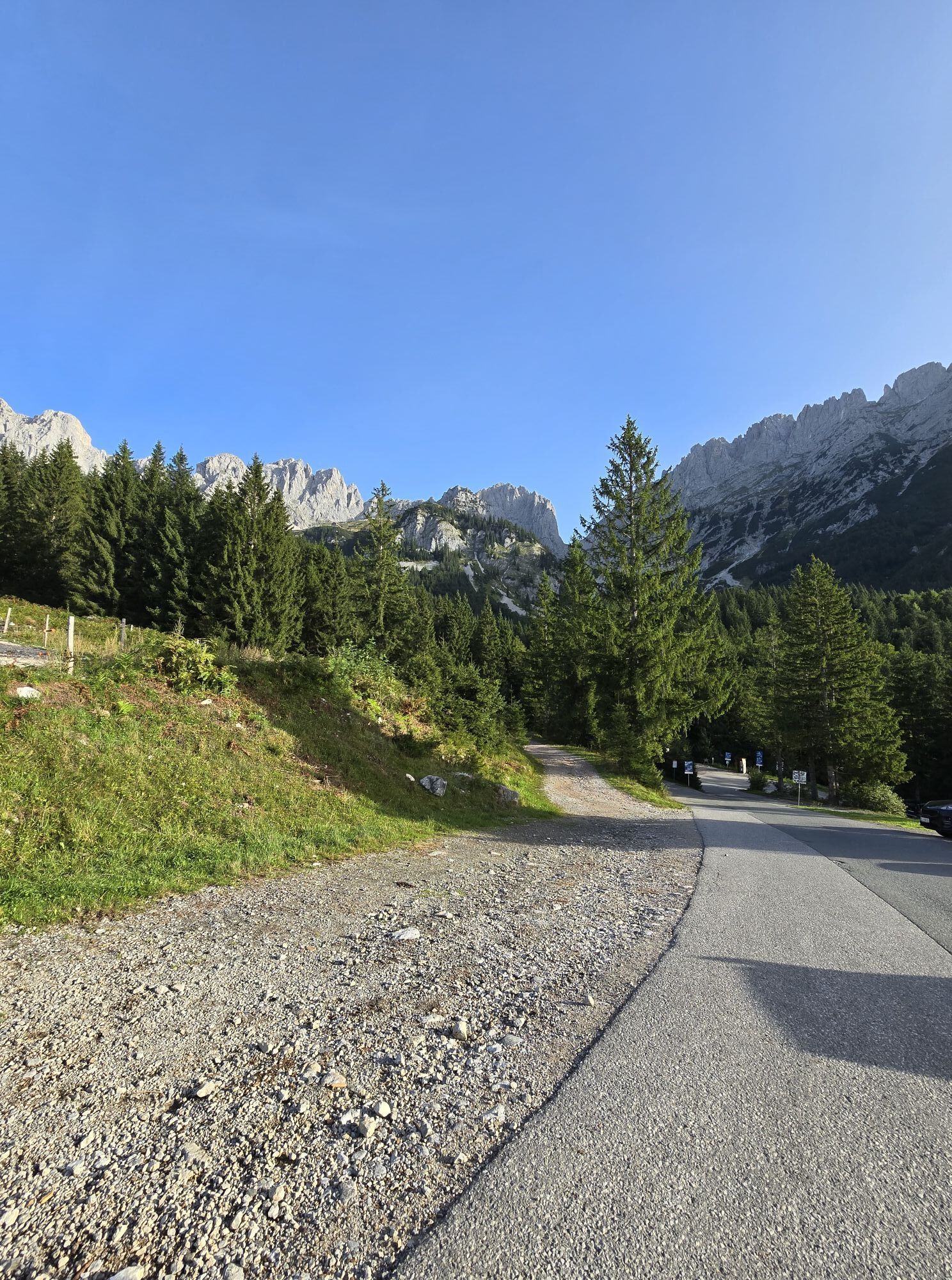
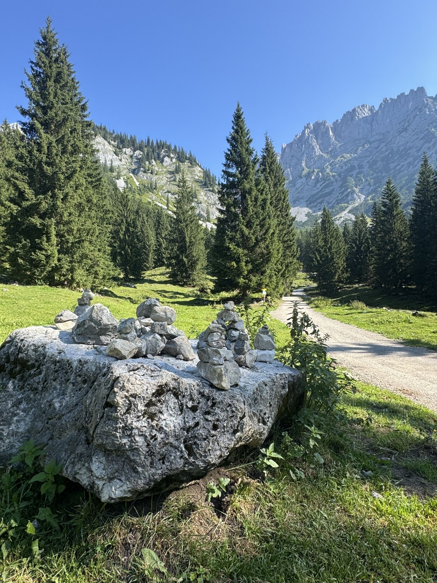
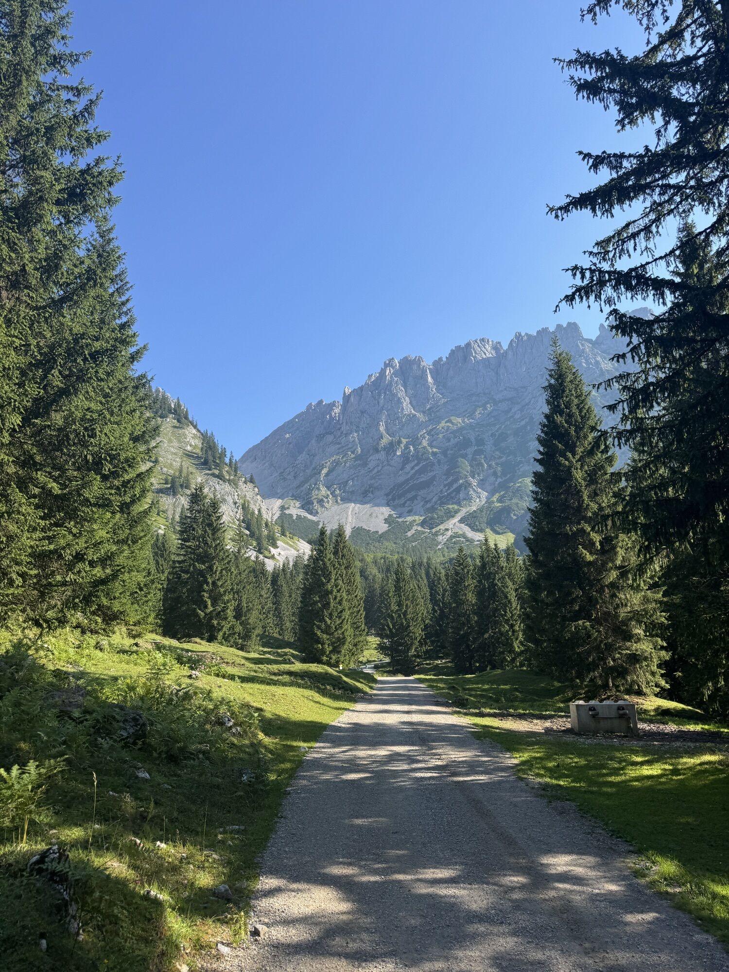
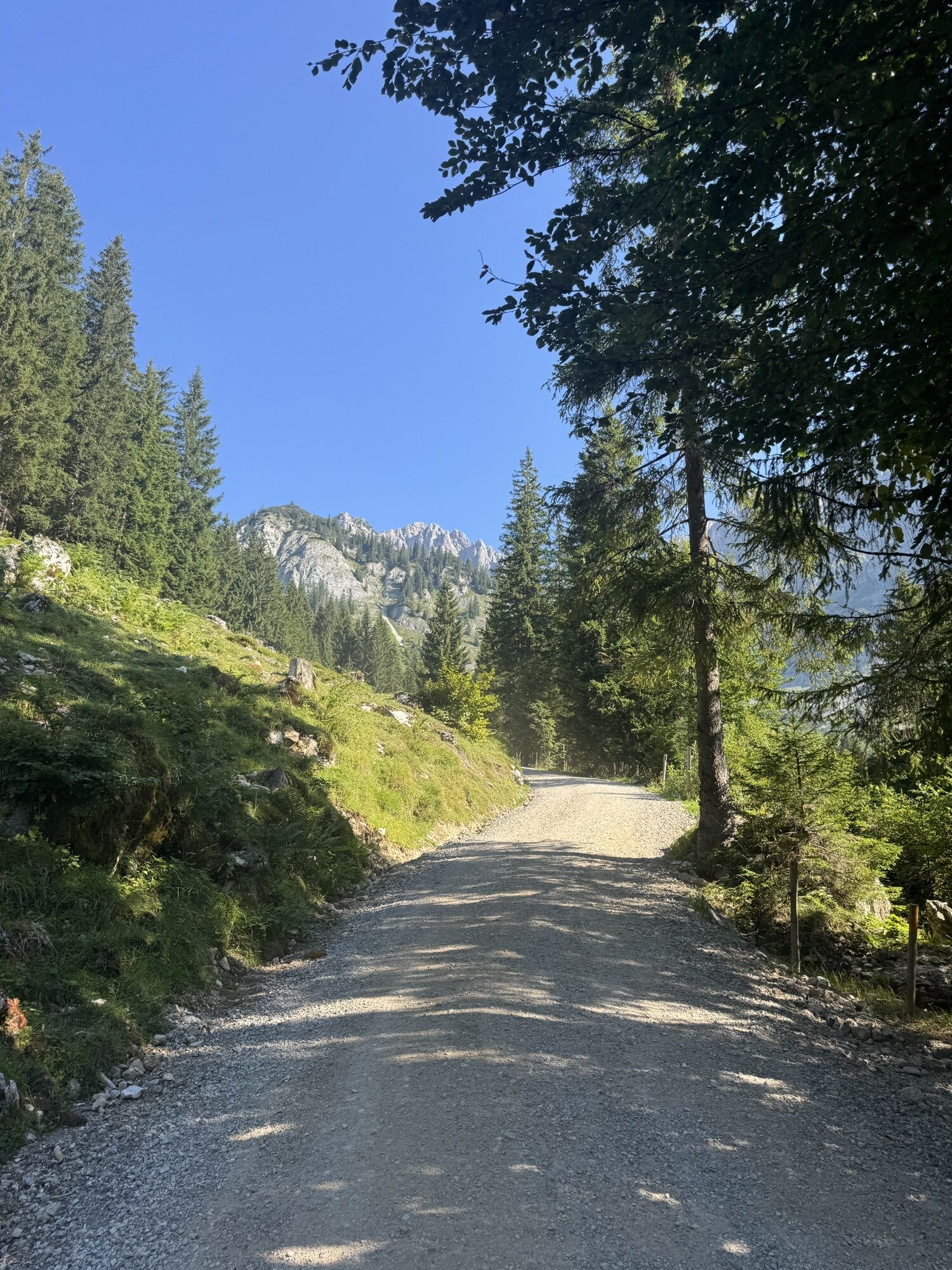
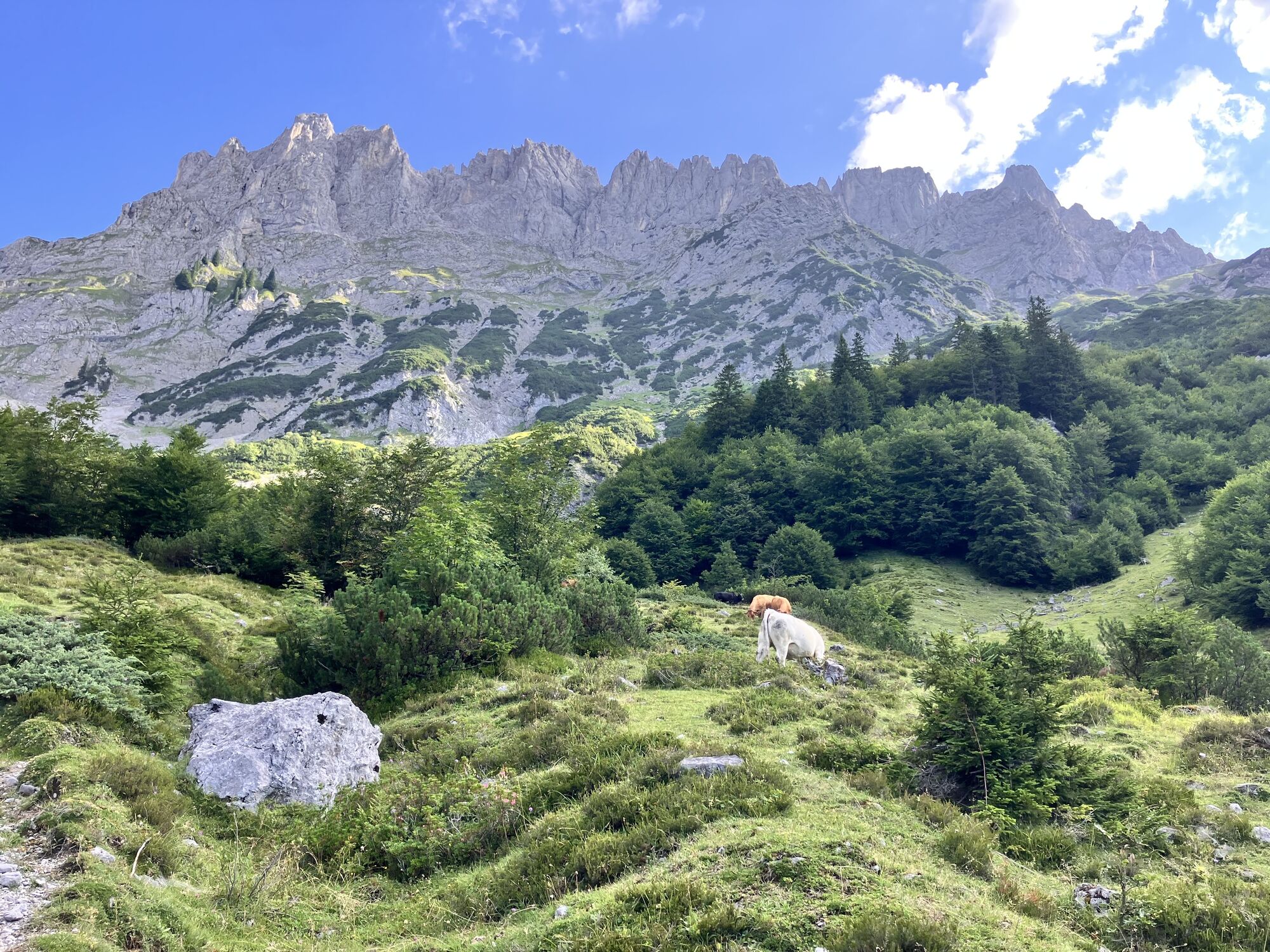
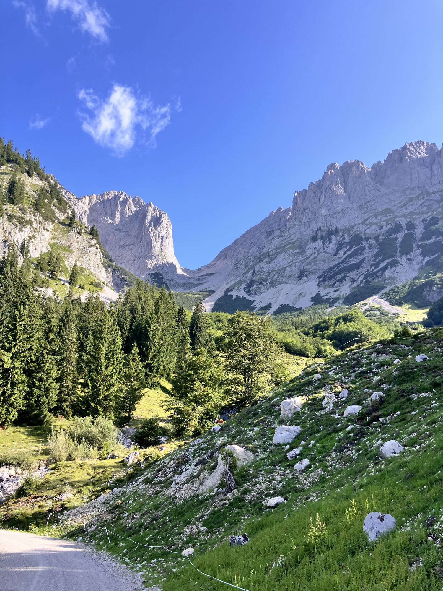
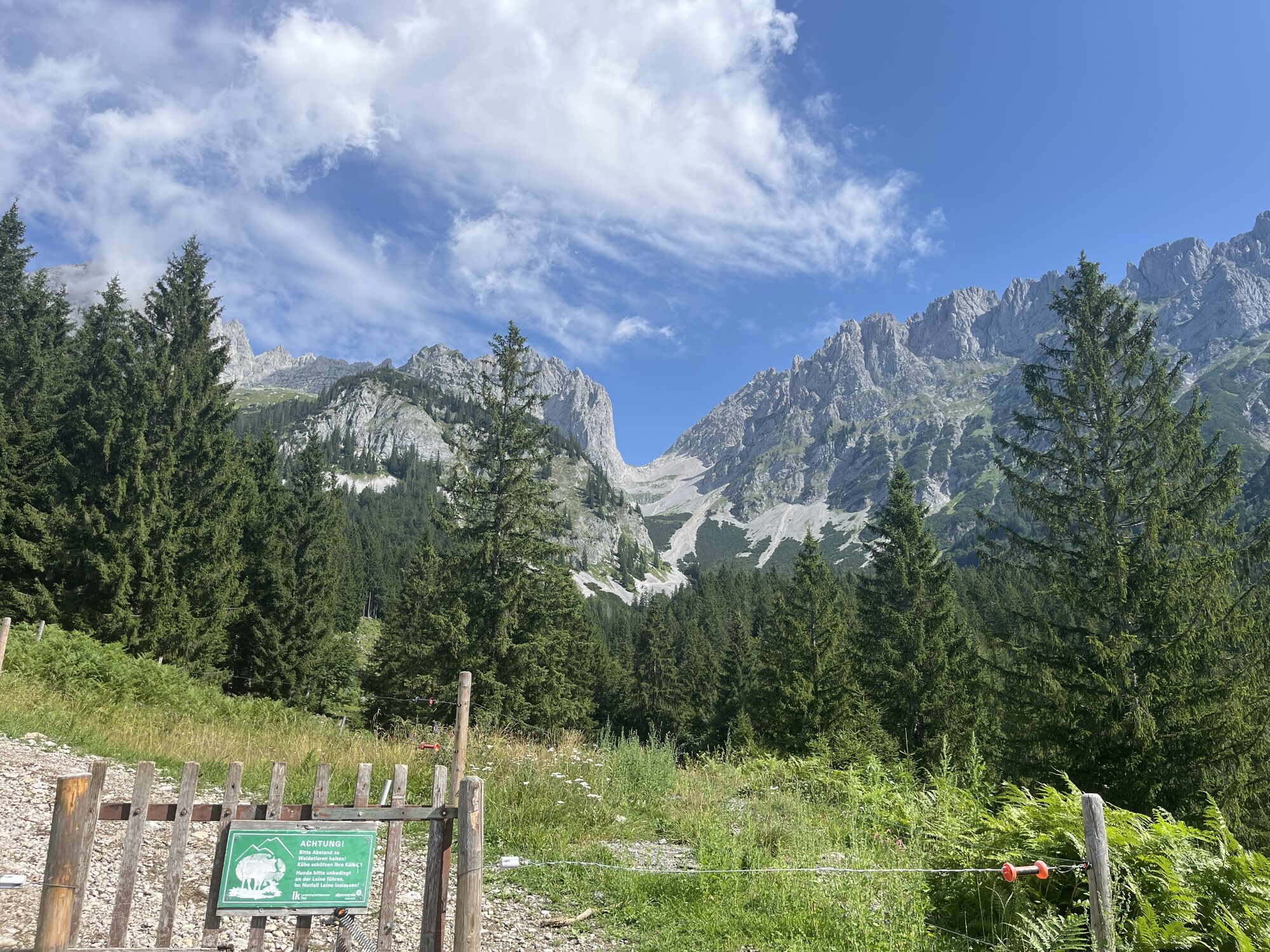
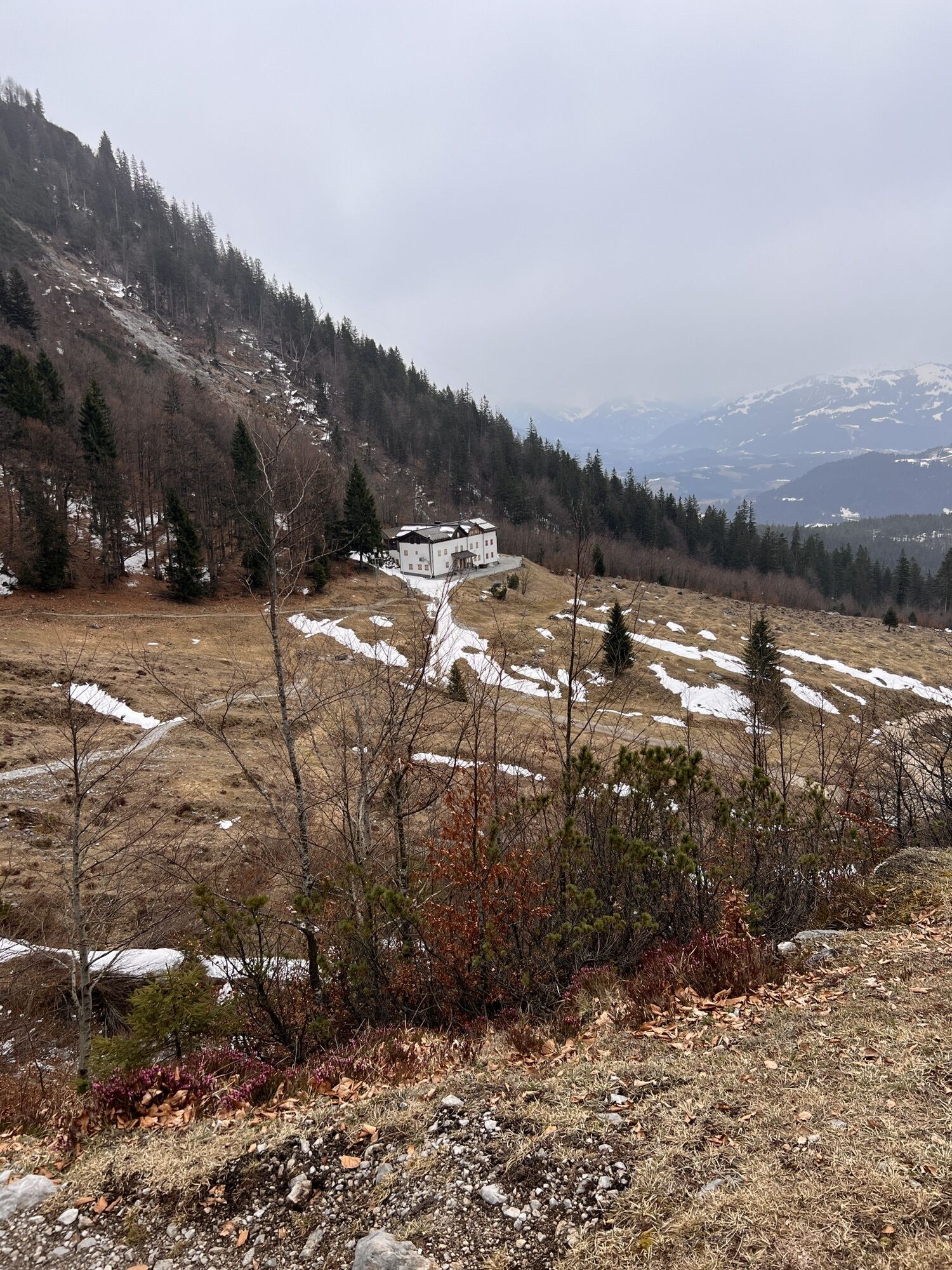
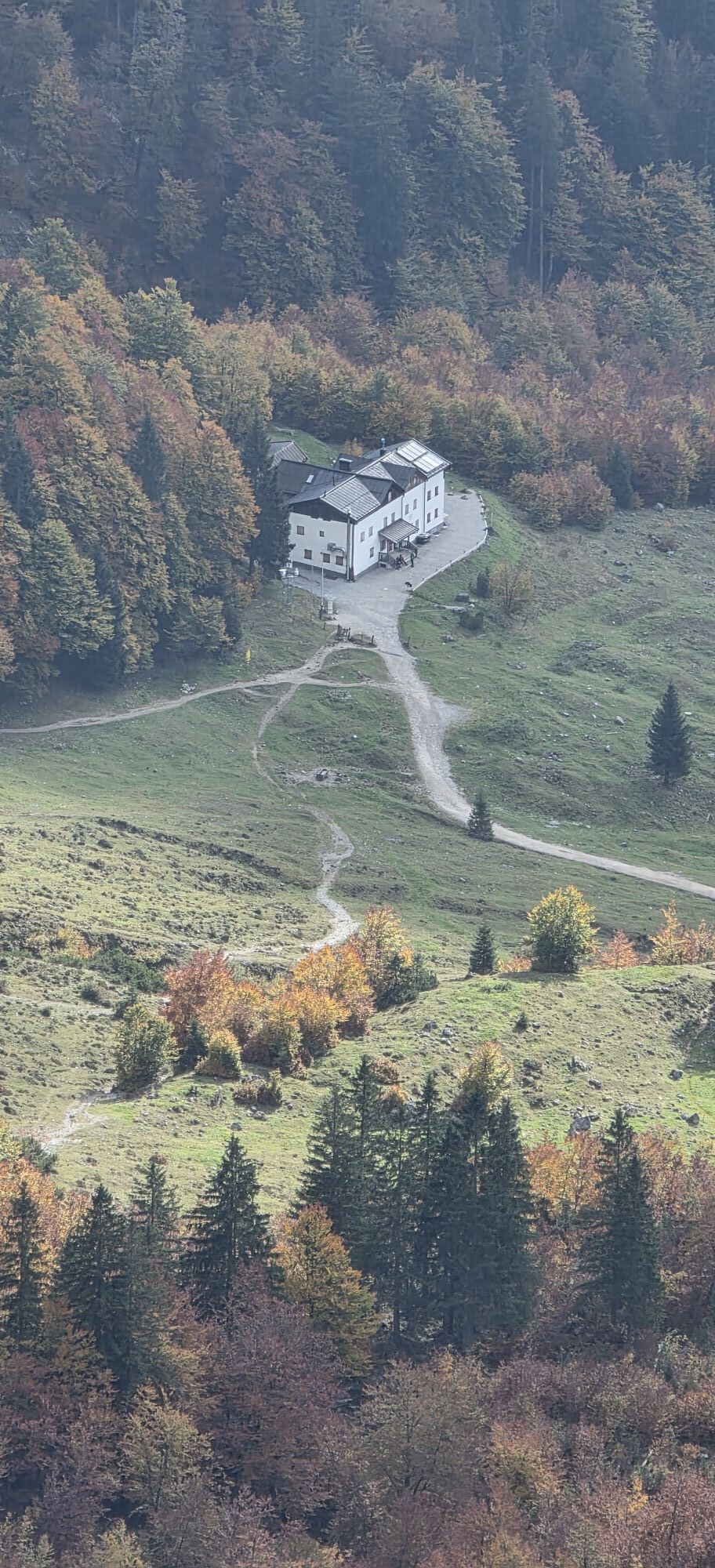
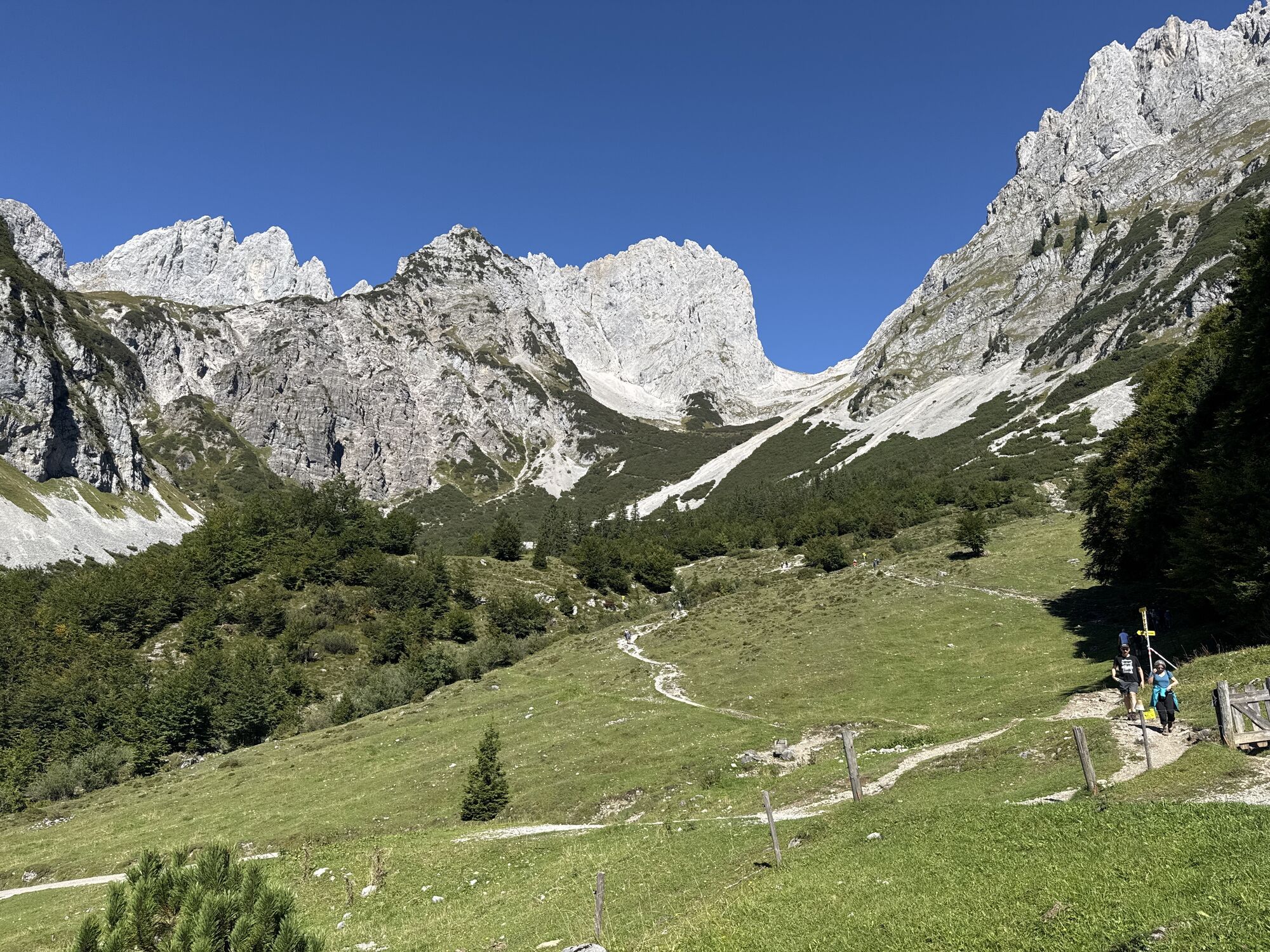
From the hiking starting point at the Wochenbrunner Alm follow the forest road to the Gaudeamushütte. After the hut, follow trail 812/813 in the direction of "Ellmauer Tor". Walk in serpentines...
Ascent:
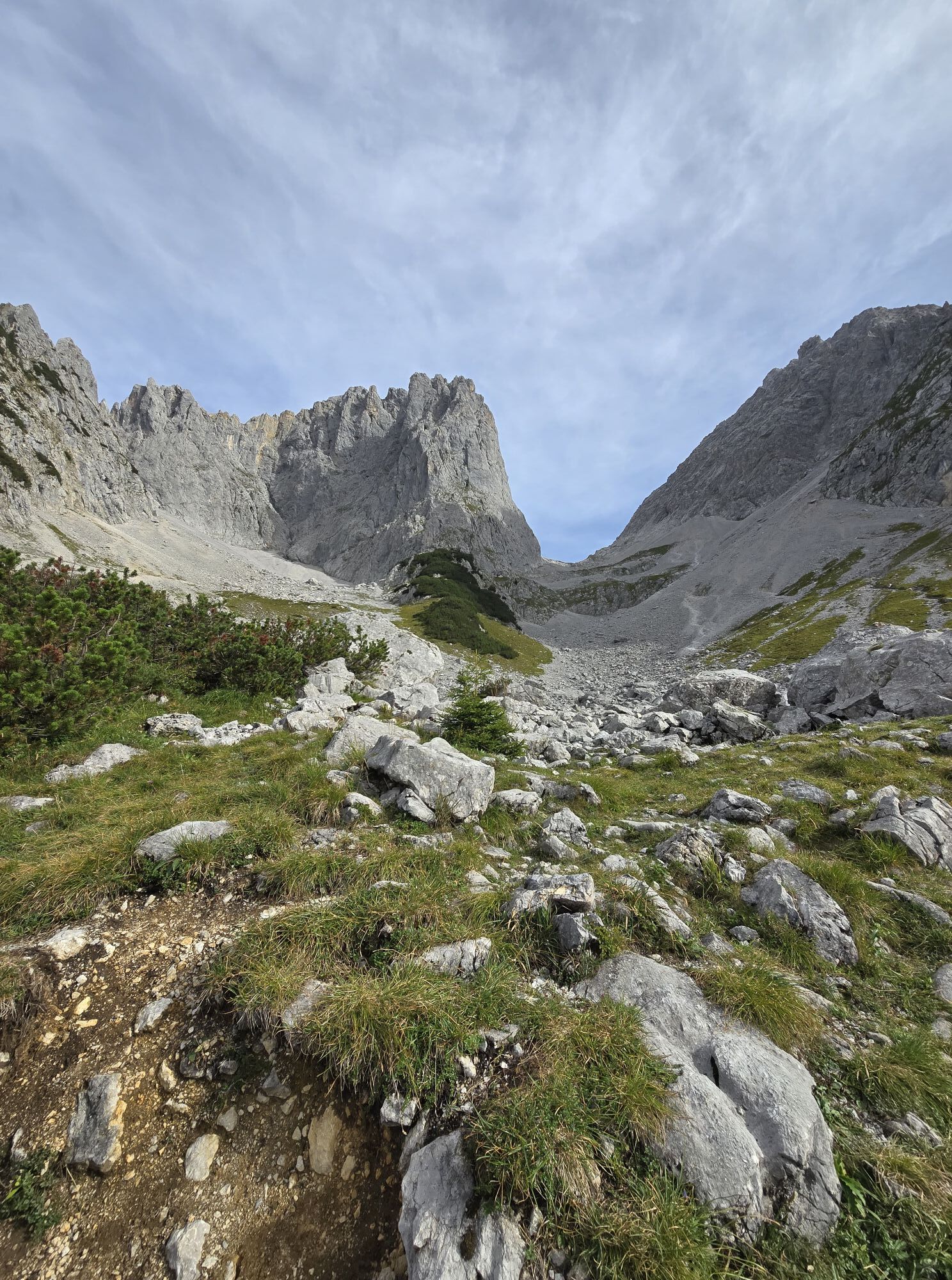
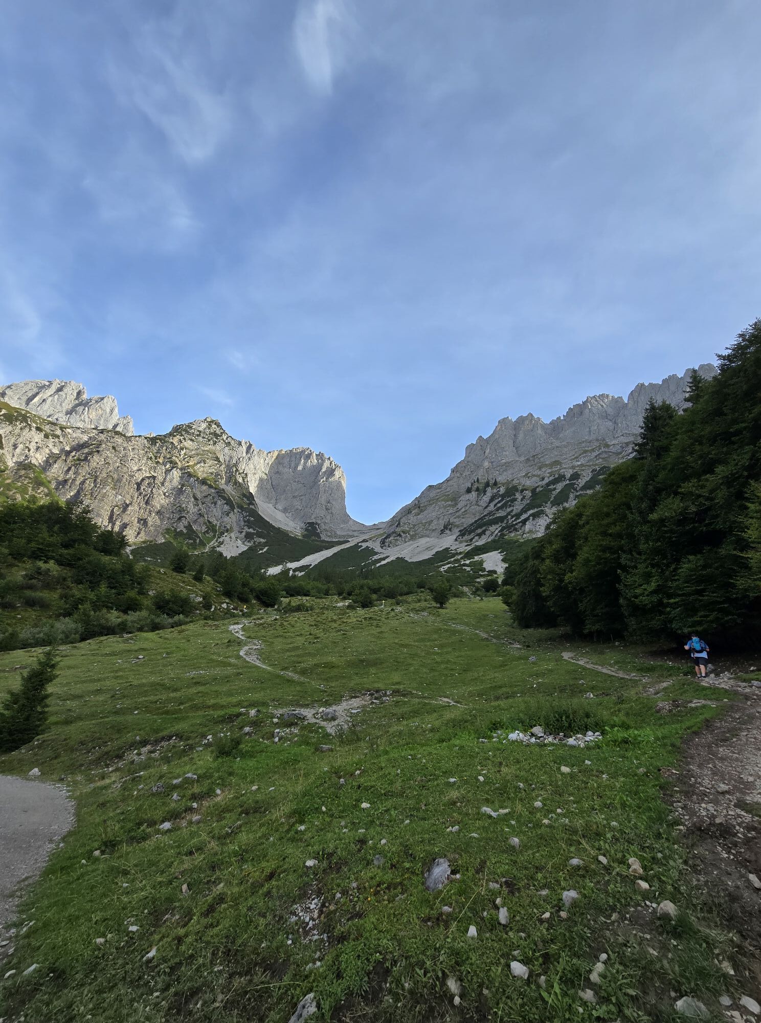
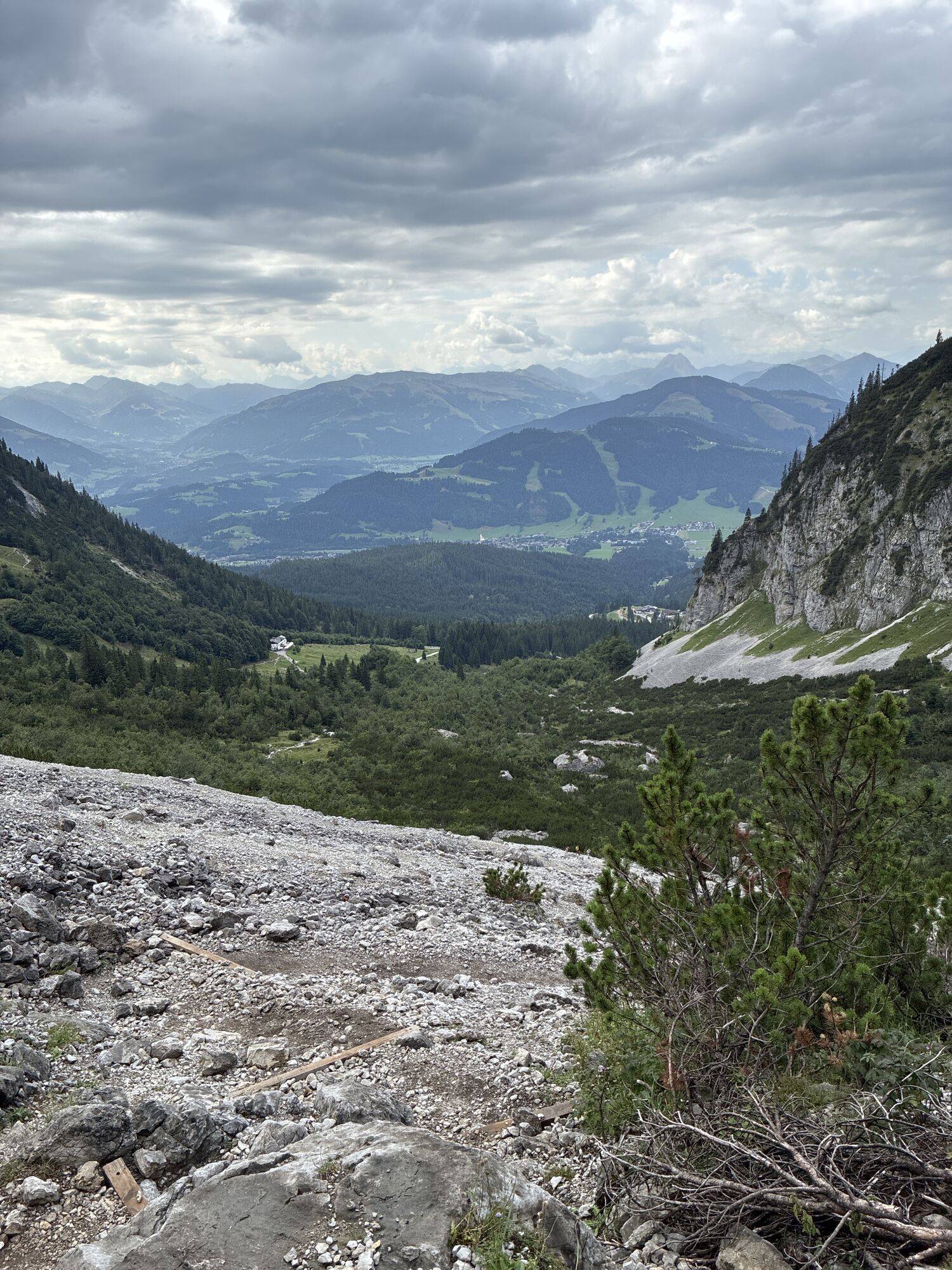
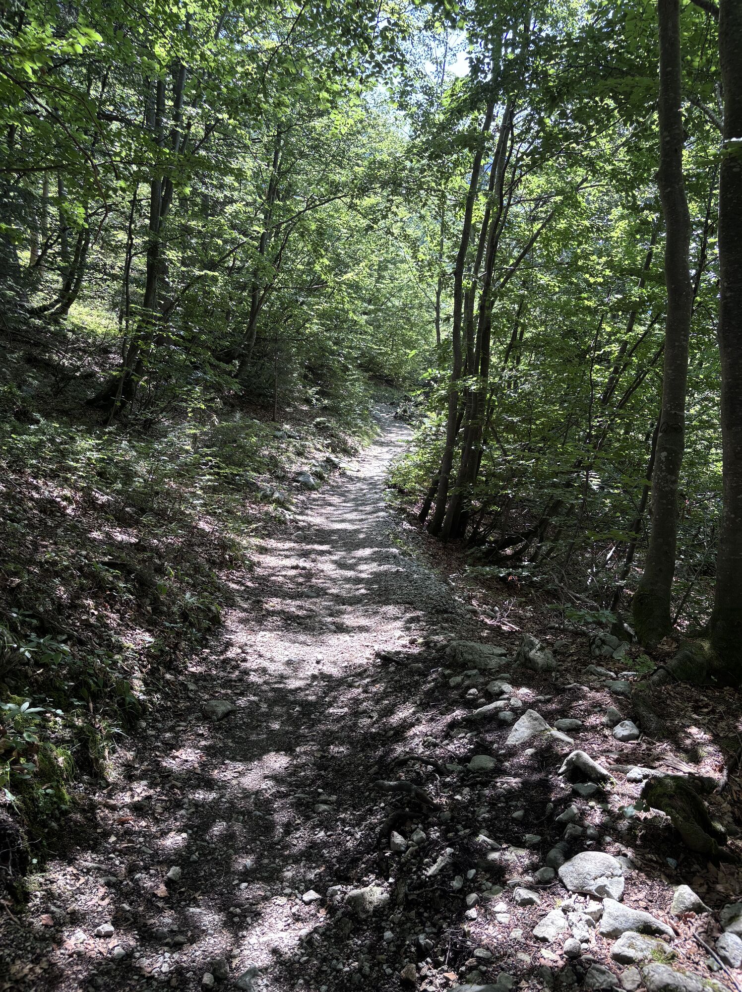
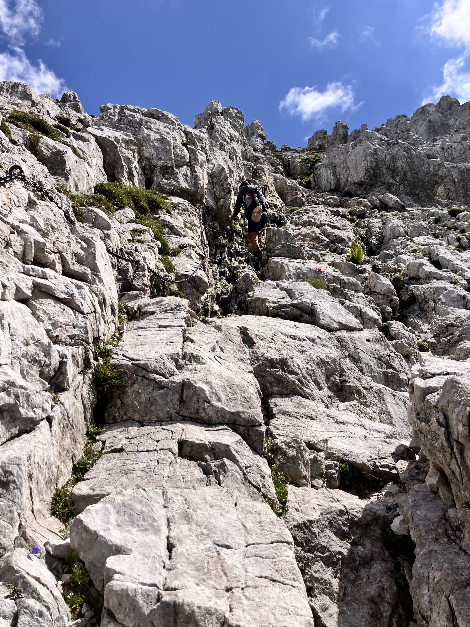
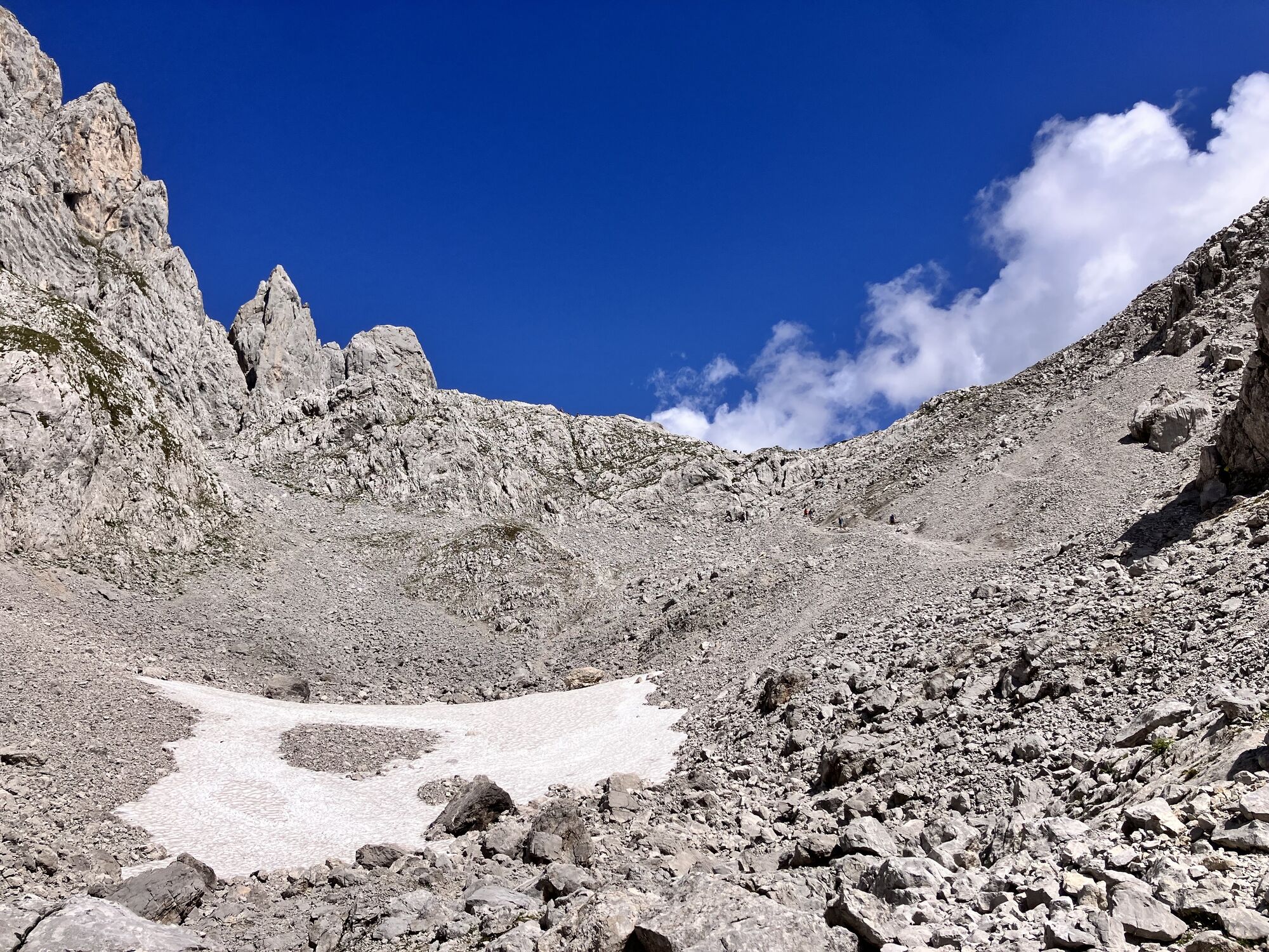
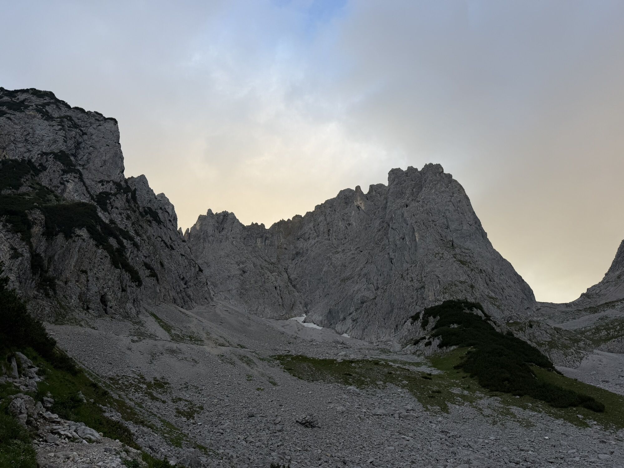
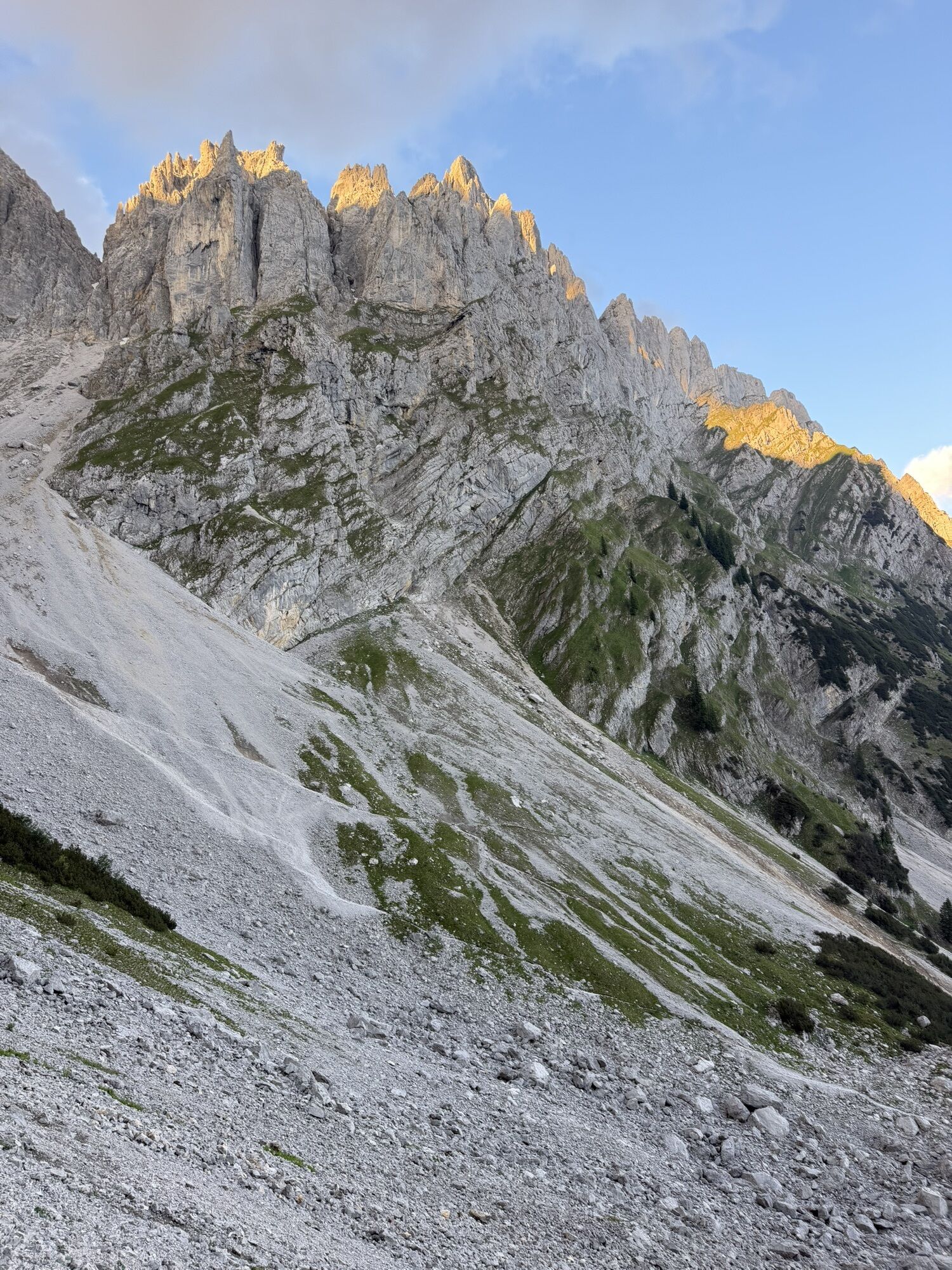
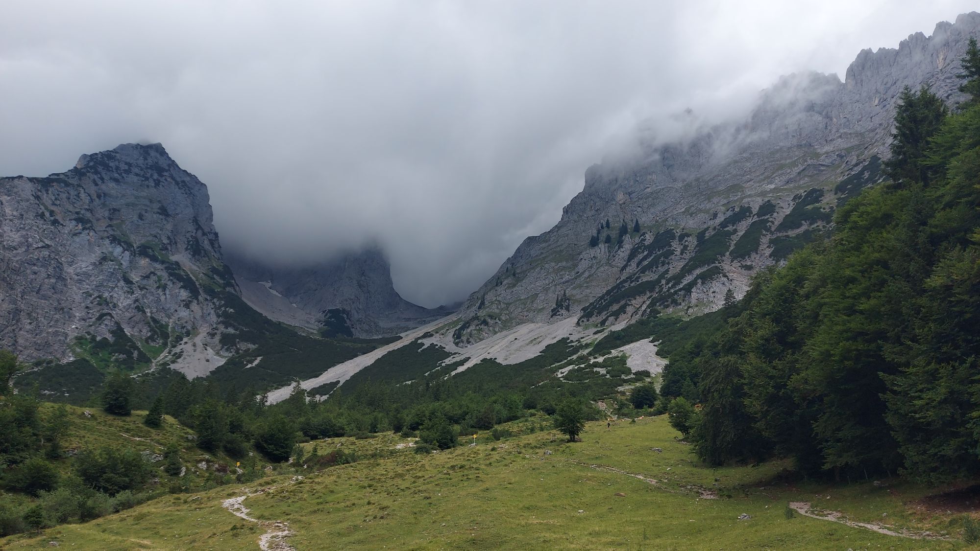
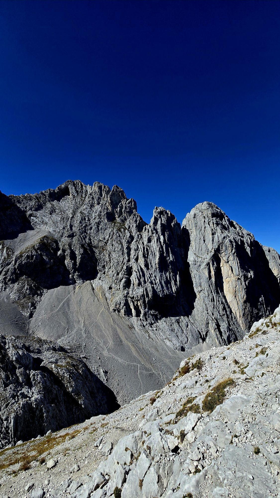
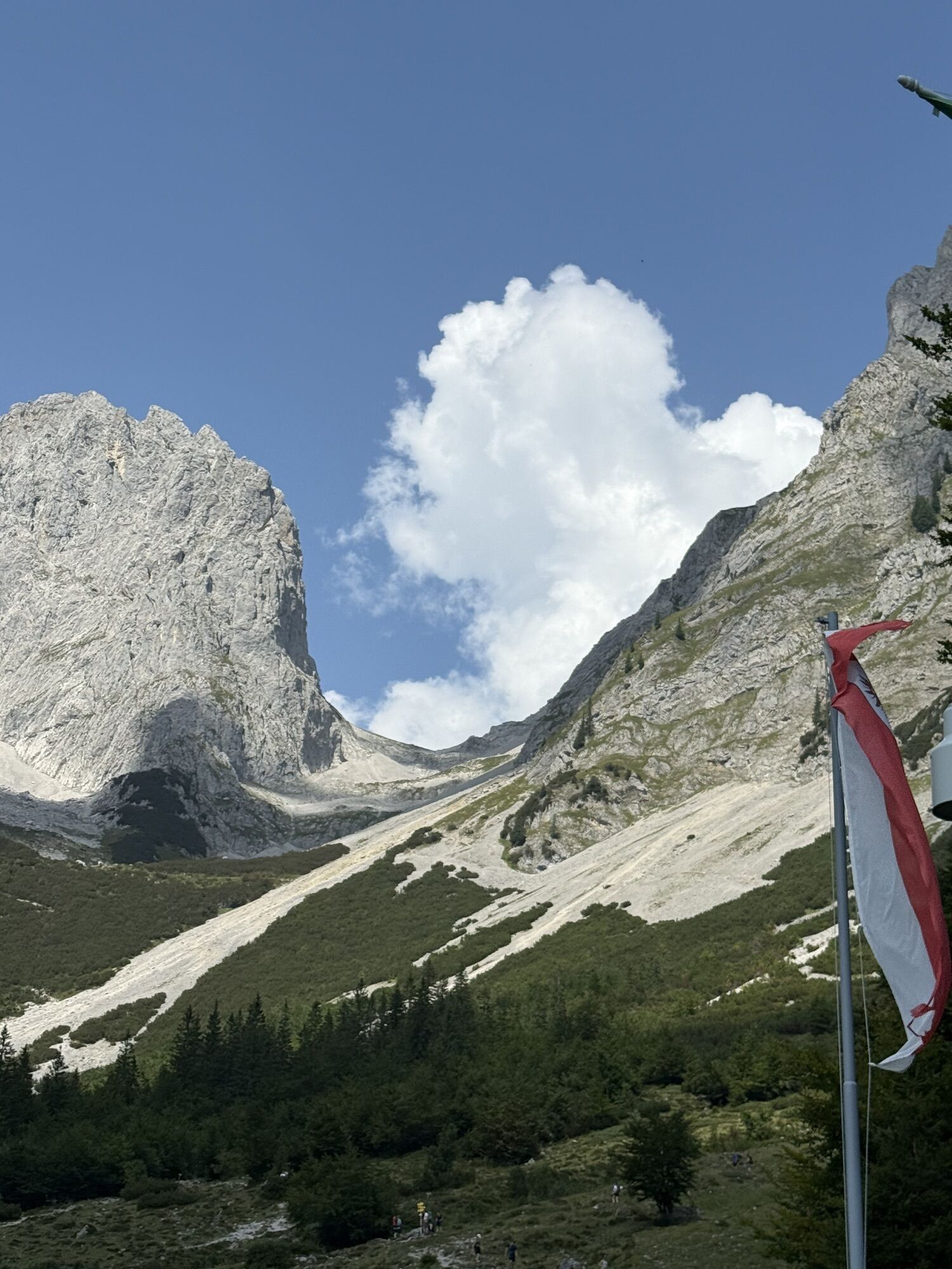
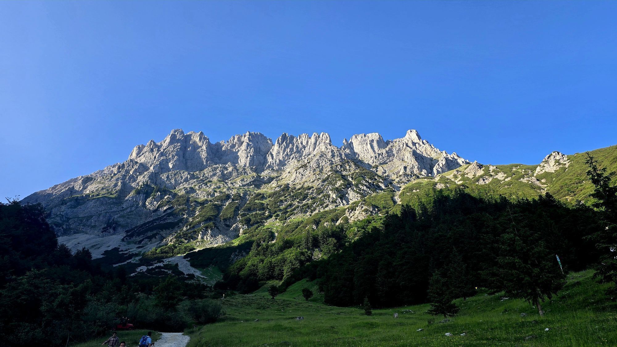
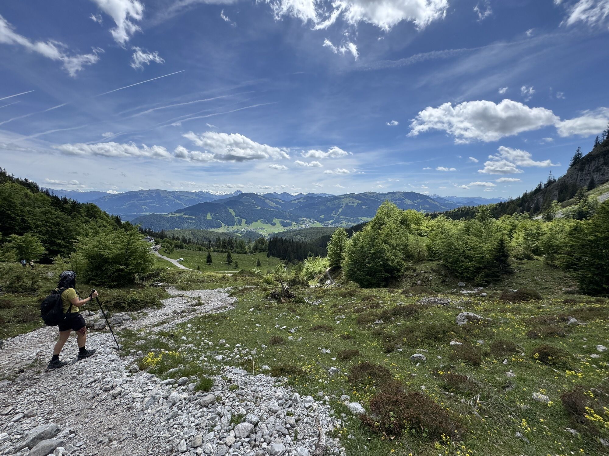
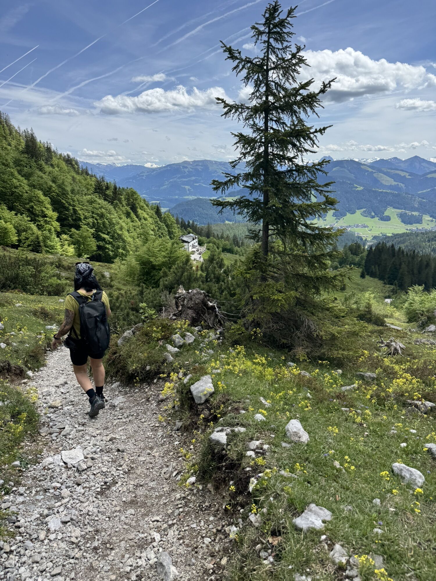
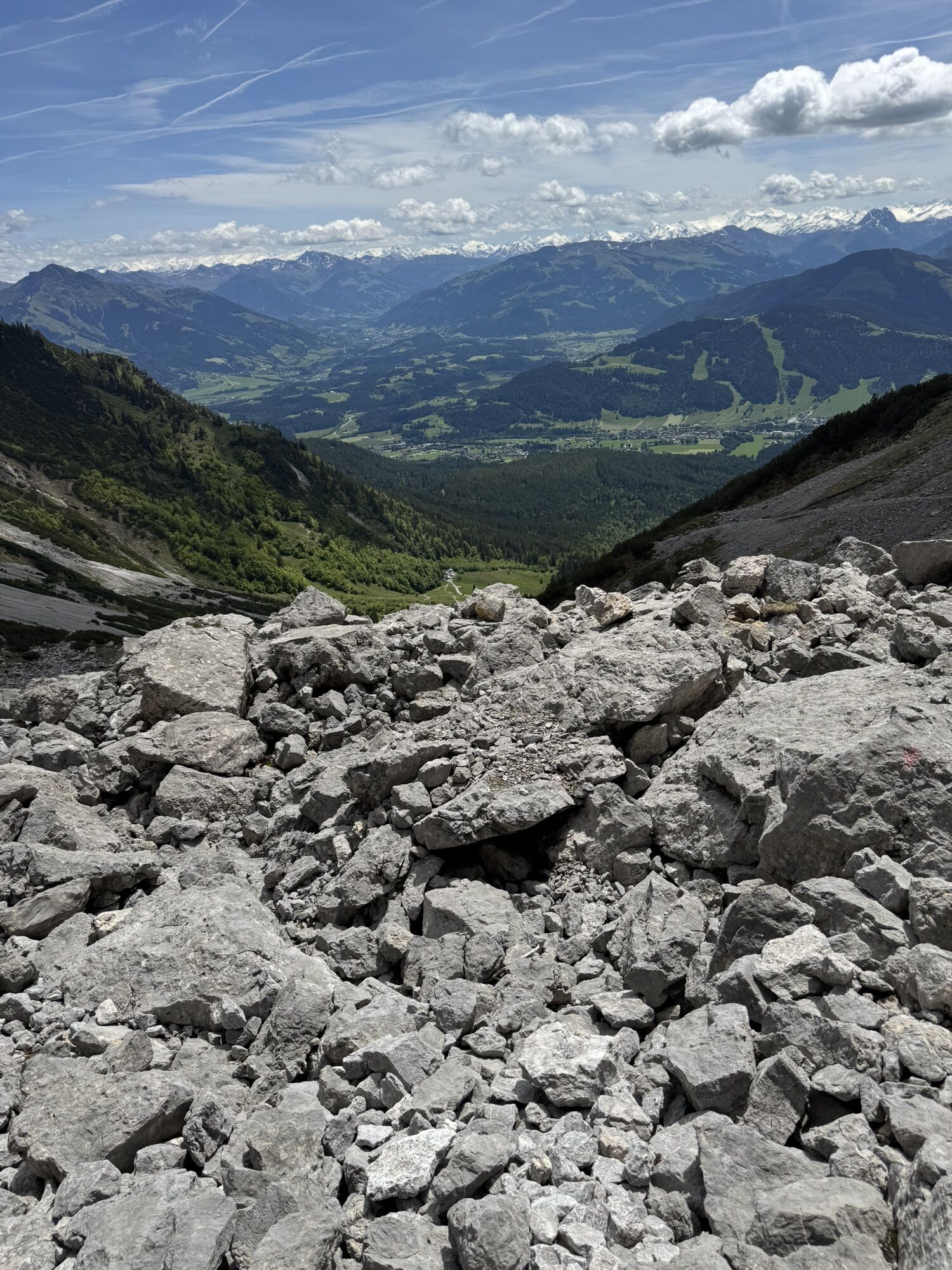
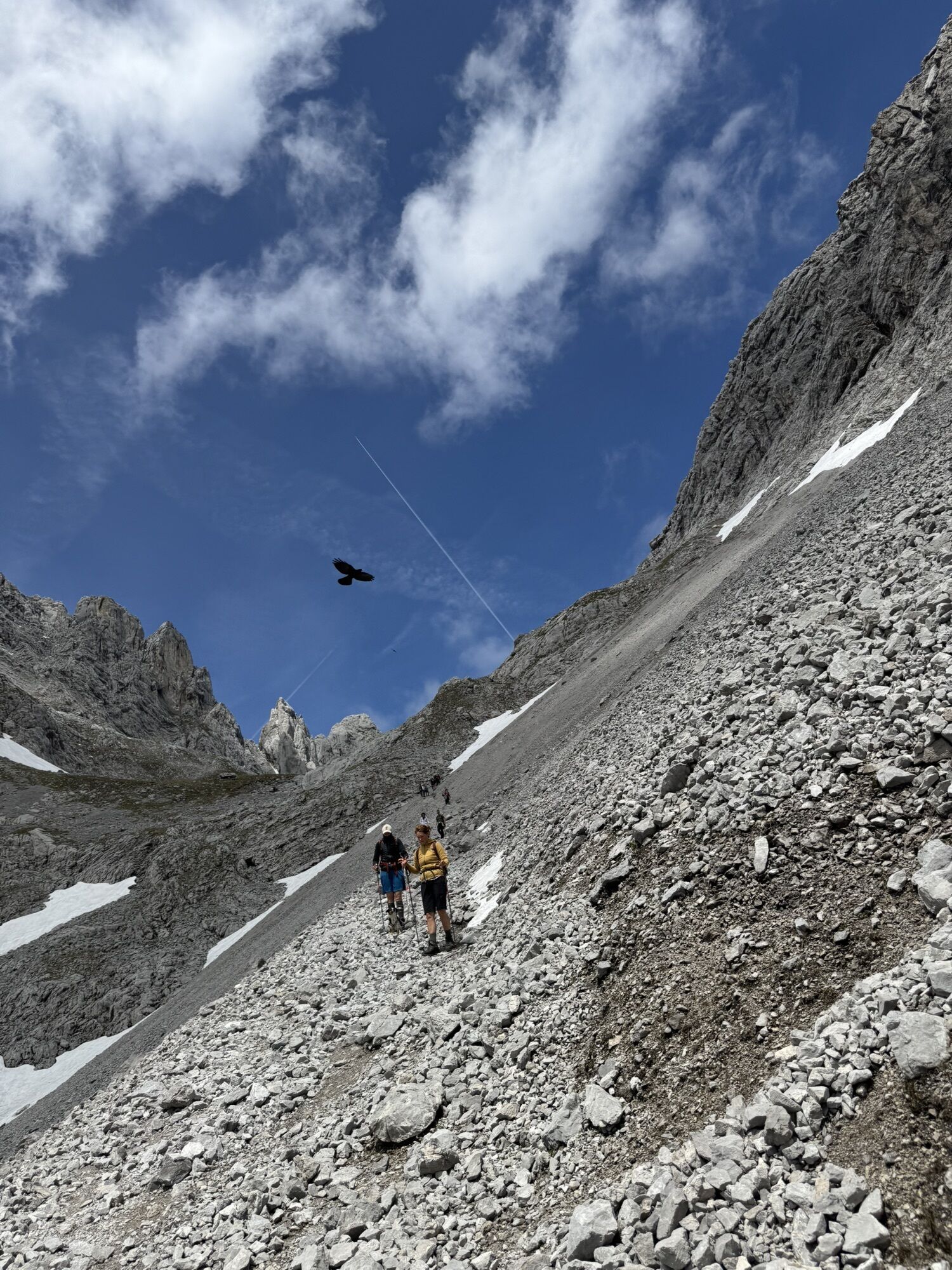
From the hiking starting point at the Wochenbrunner Alm follow the forest road to the Gaudeamushütte. After the hut, follow trail 812/813 in the direction of "Ellmauer Tor". Walk in serpentines through mountain pines until you reach the junction with the Wilden-Kaiser-Steig. At the junction "Jubiläumssteig" follow the trail 812 to the right over the scree field (Kübelkar). After a rocky steep step (partly secured with steel ropes), you cross wide areas of scree and a last rock step to the Ellmauer Tor, 1,980 m (up to here approx. 900 vertical meters).
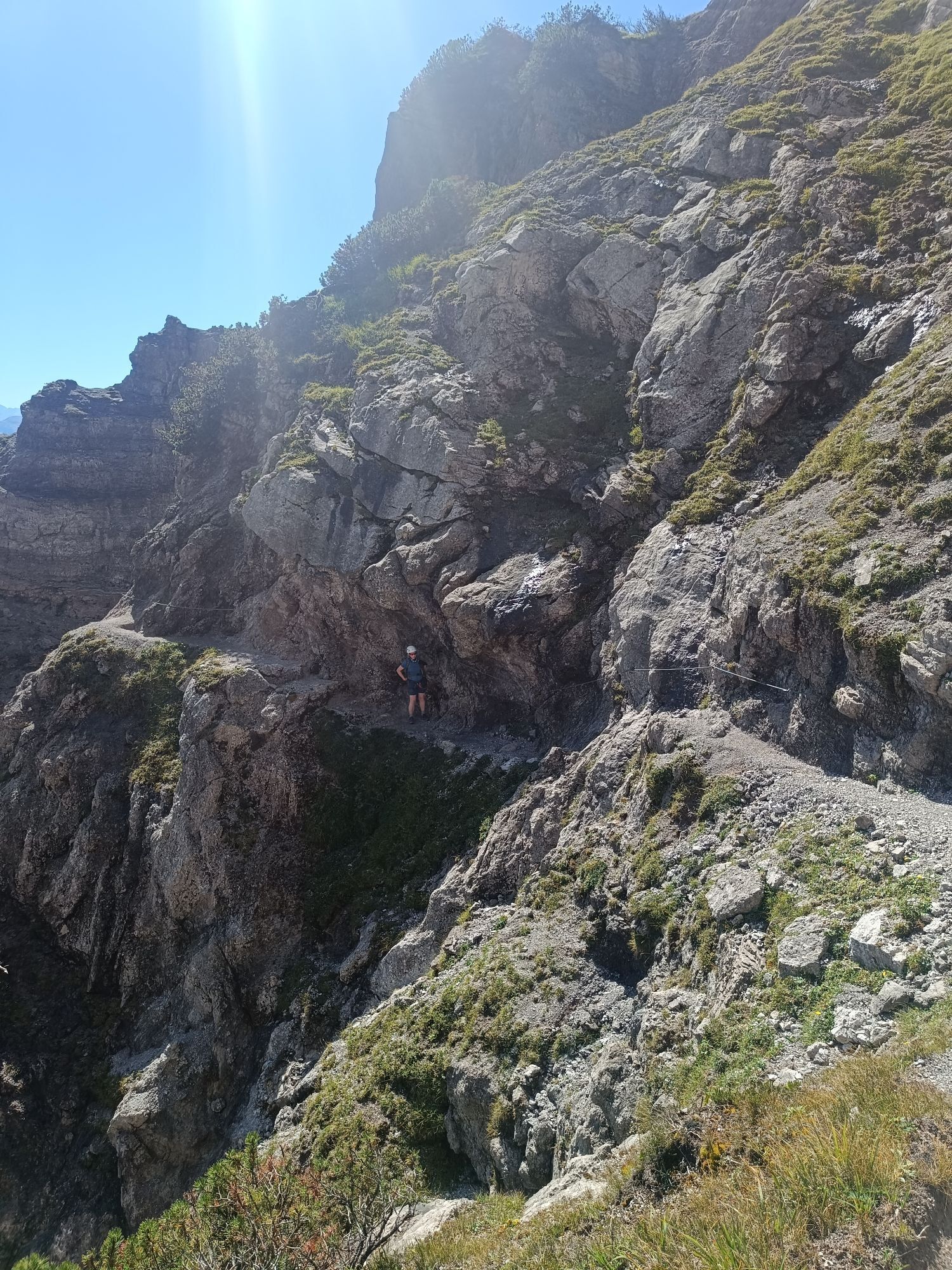
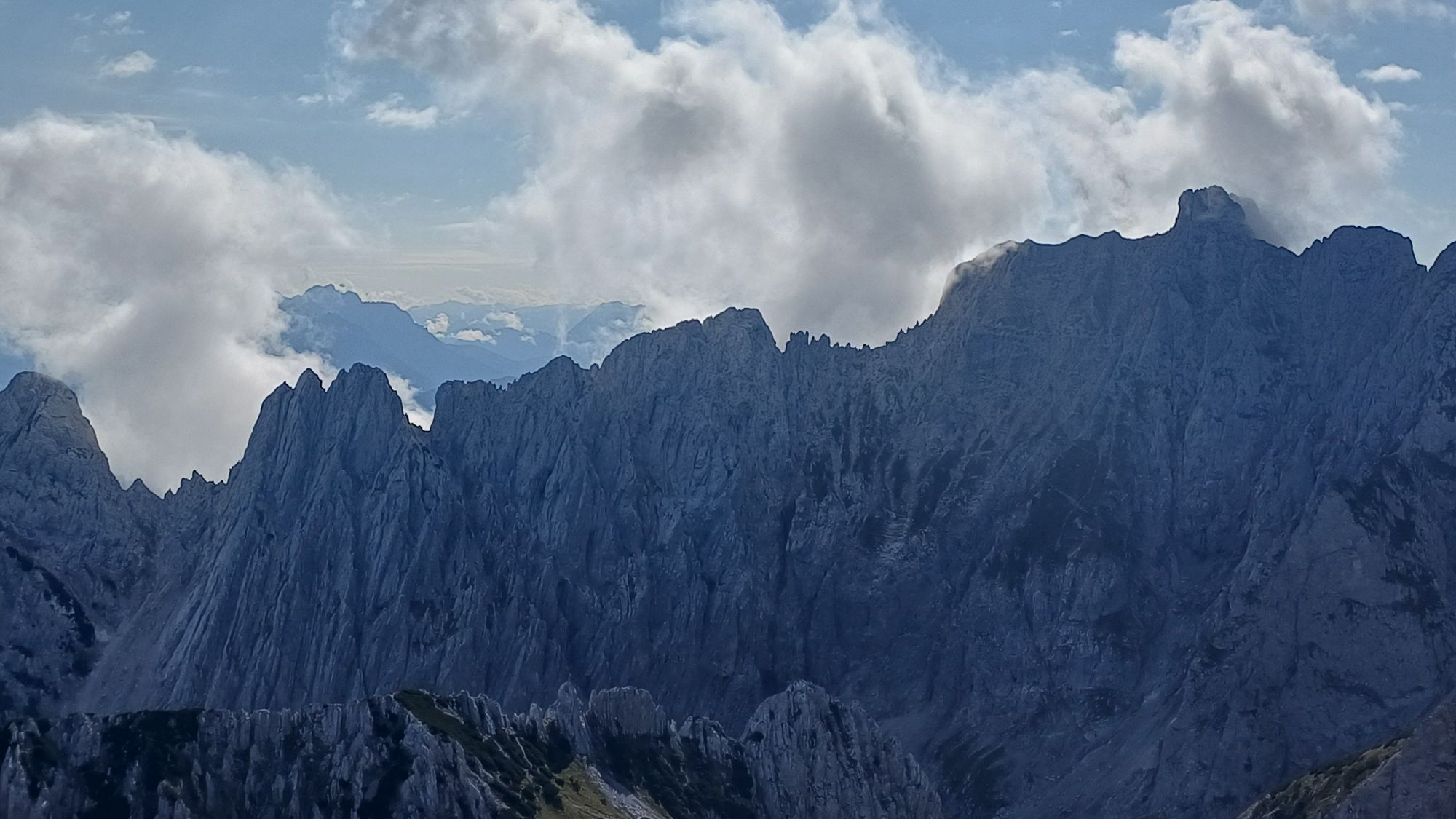
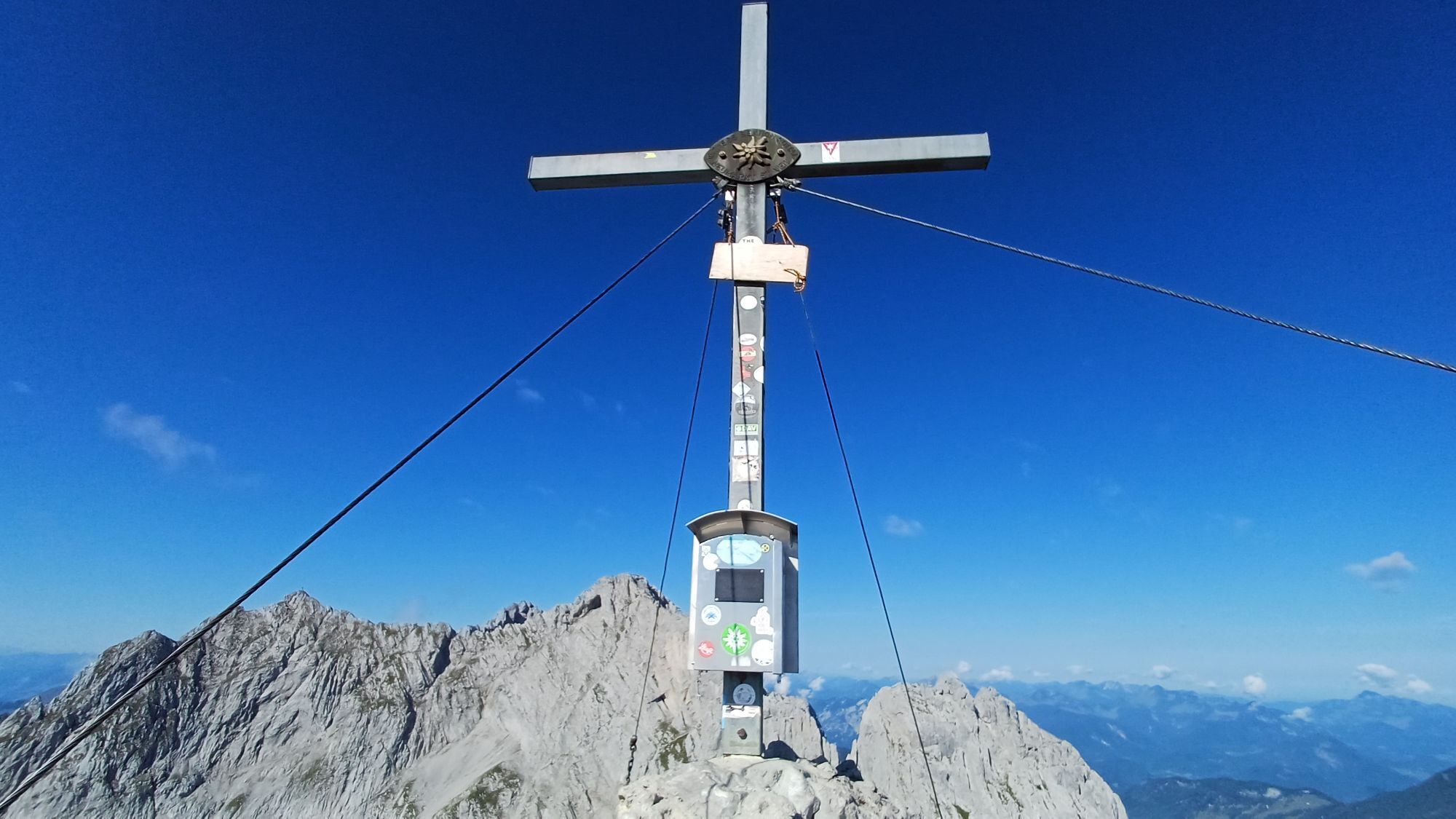
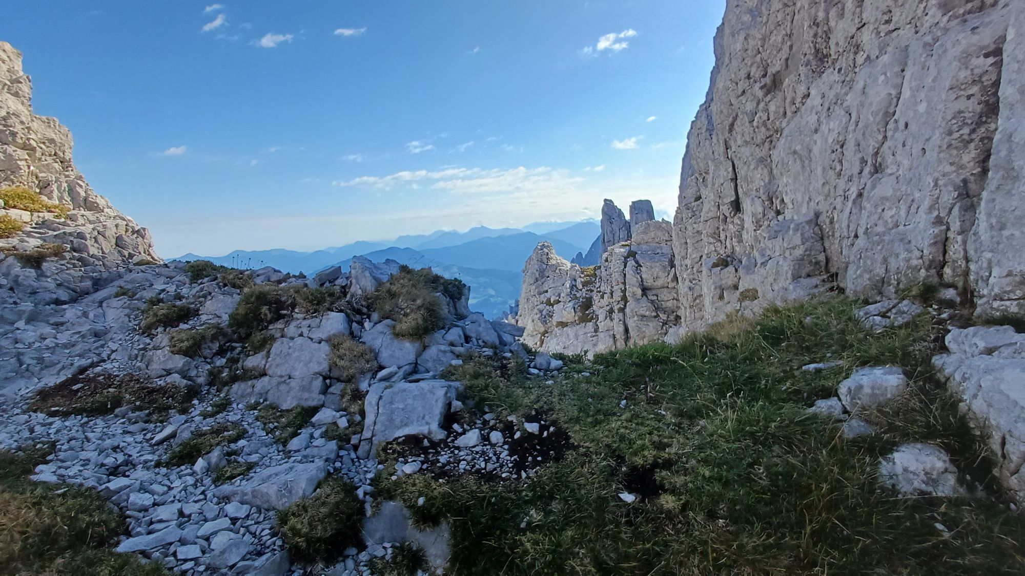
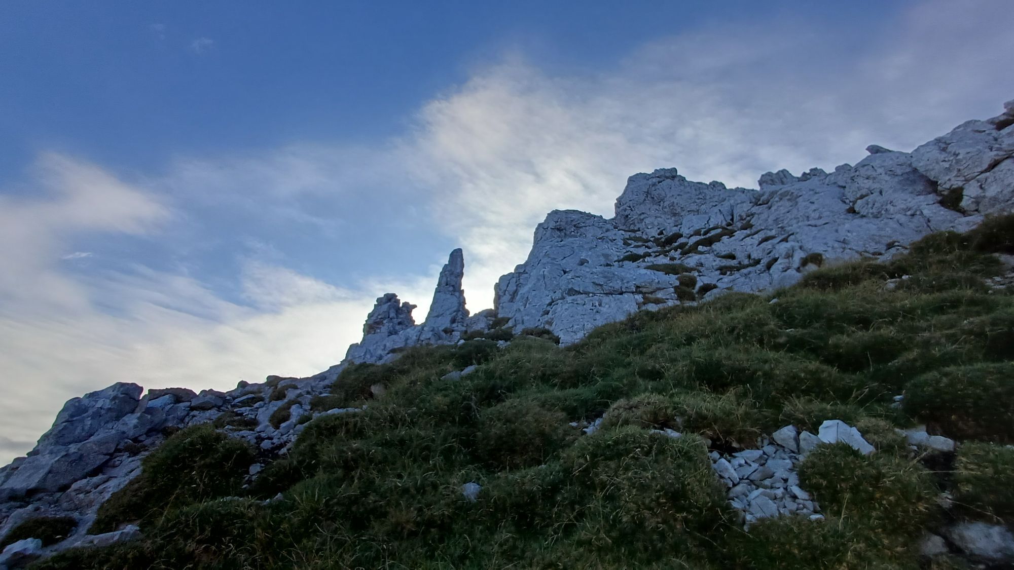
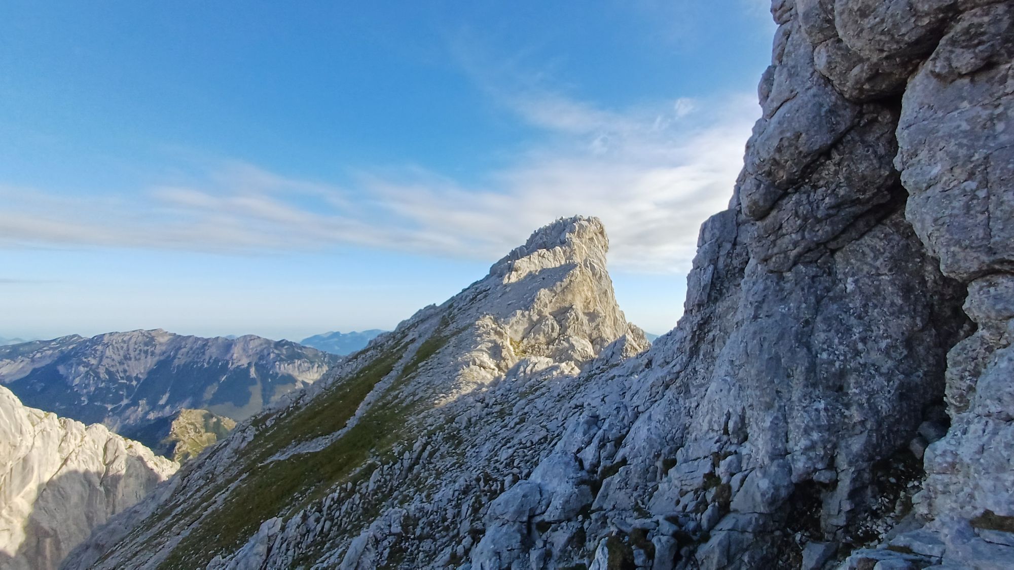
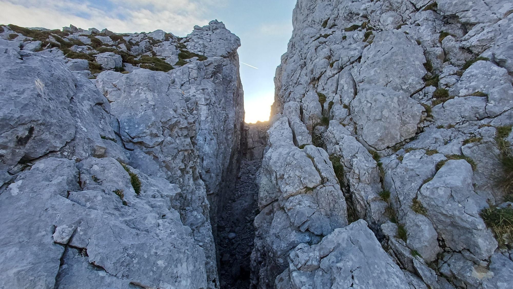
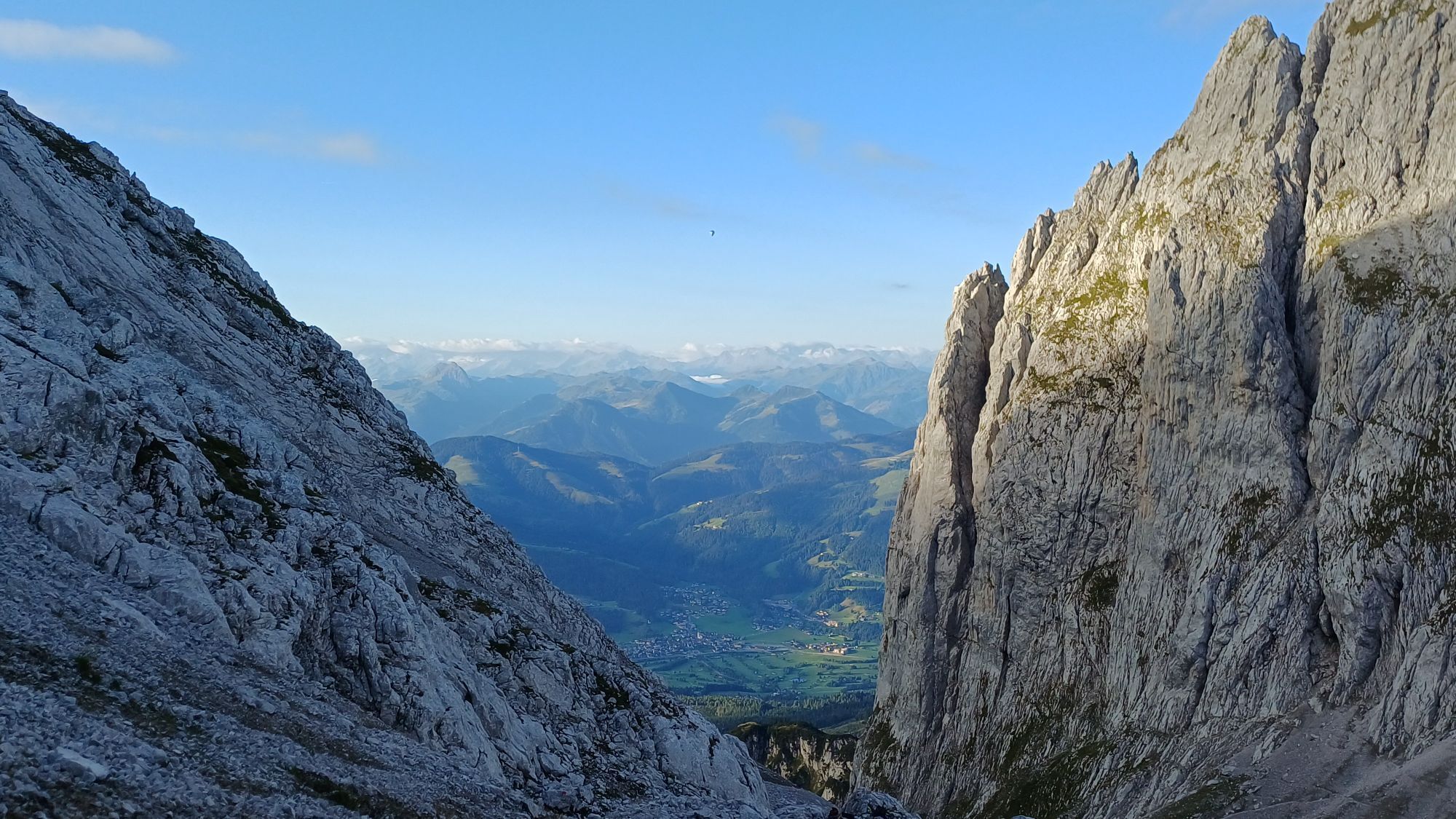
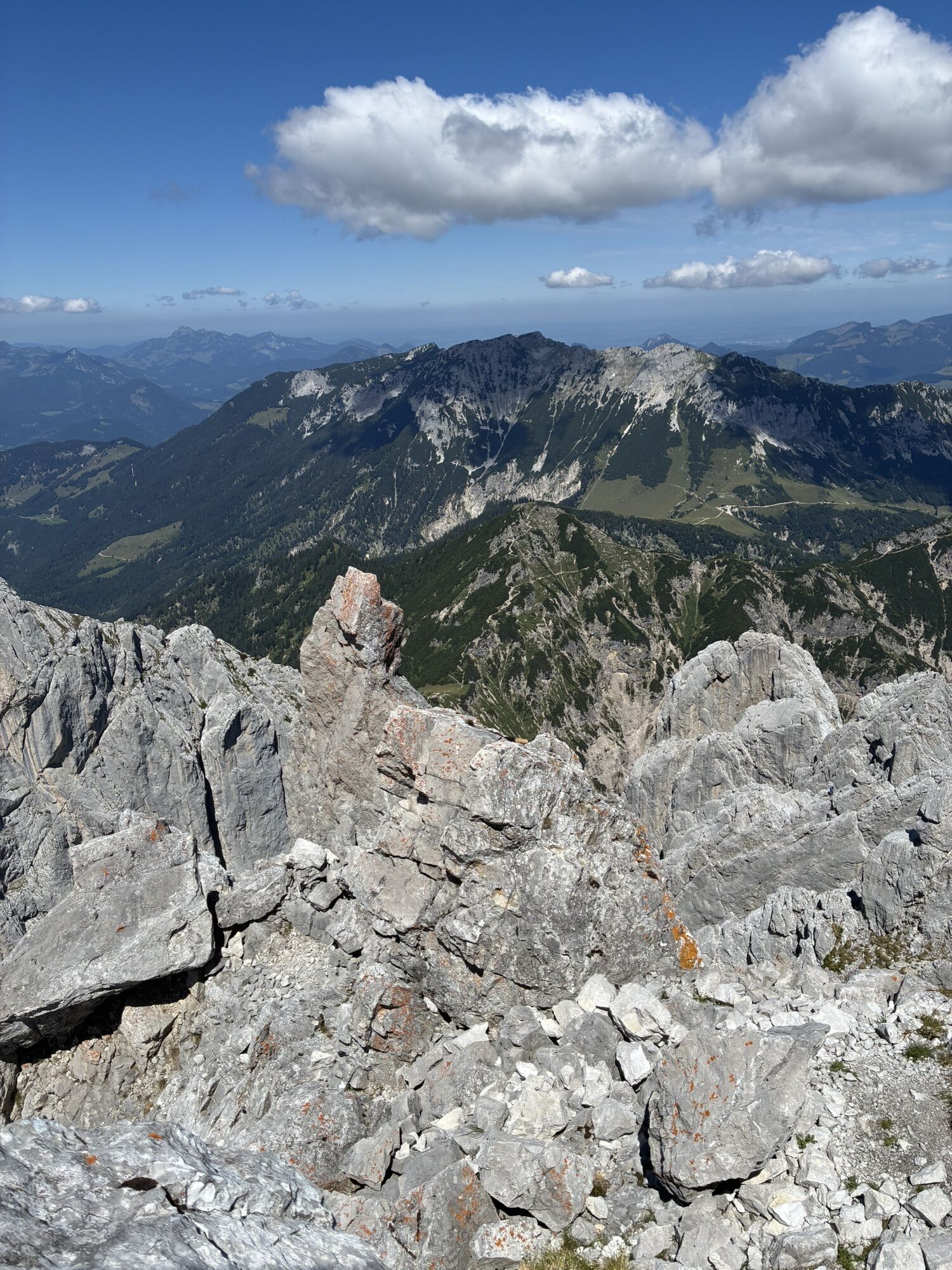
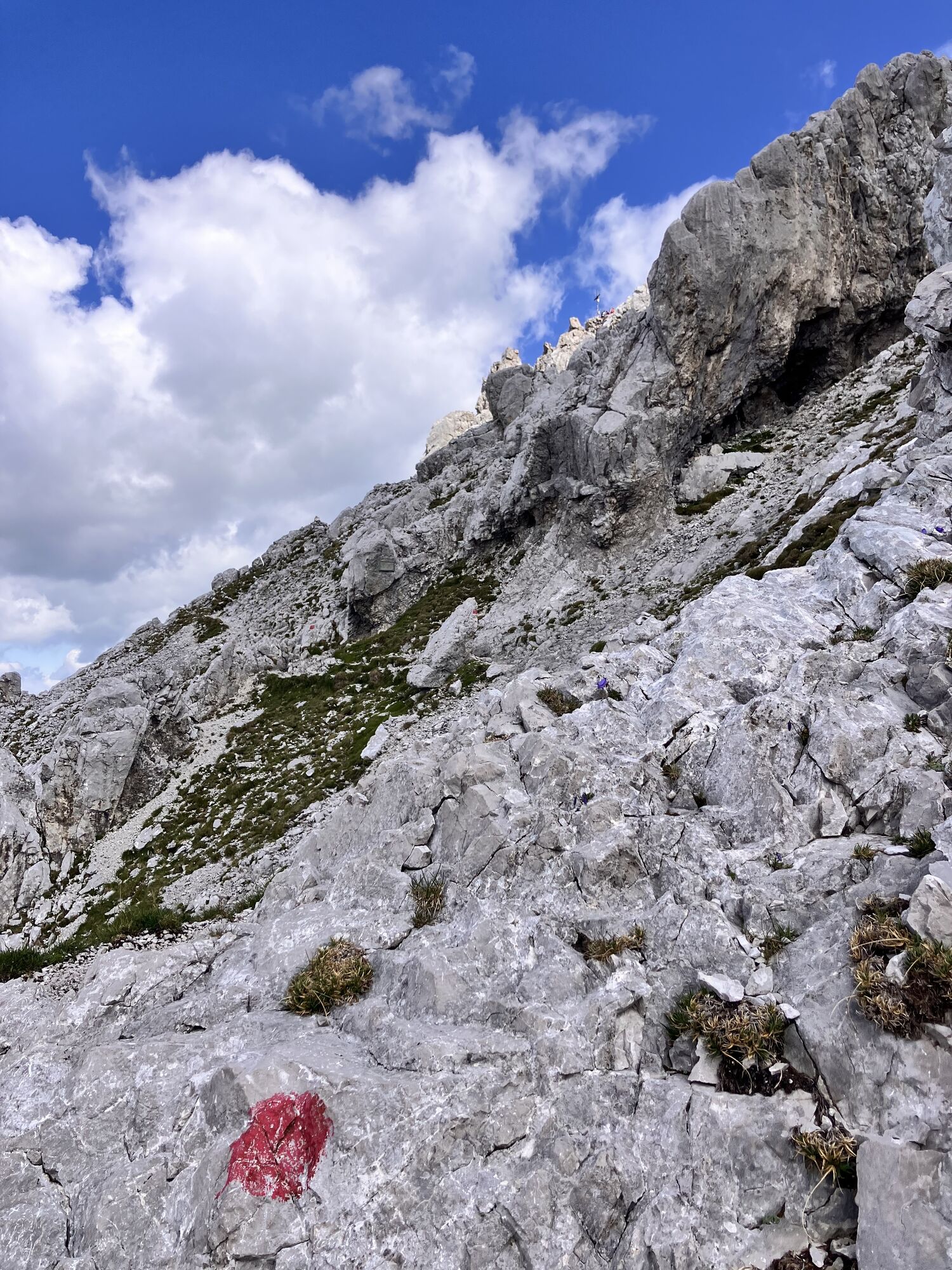
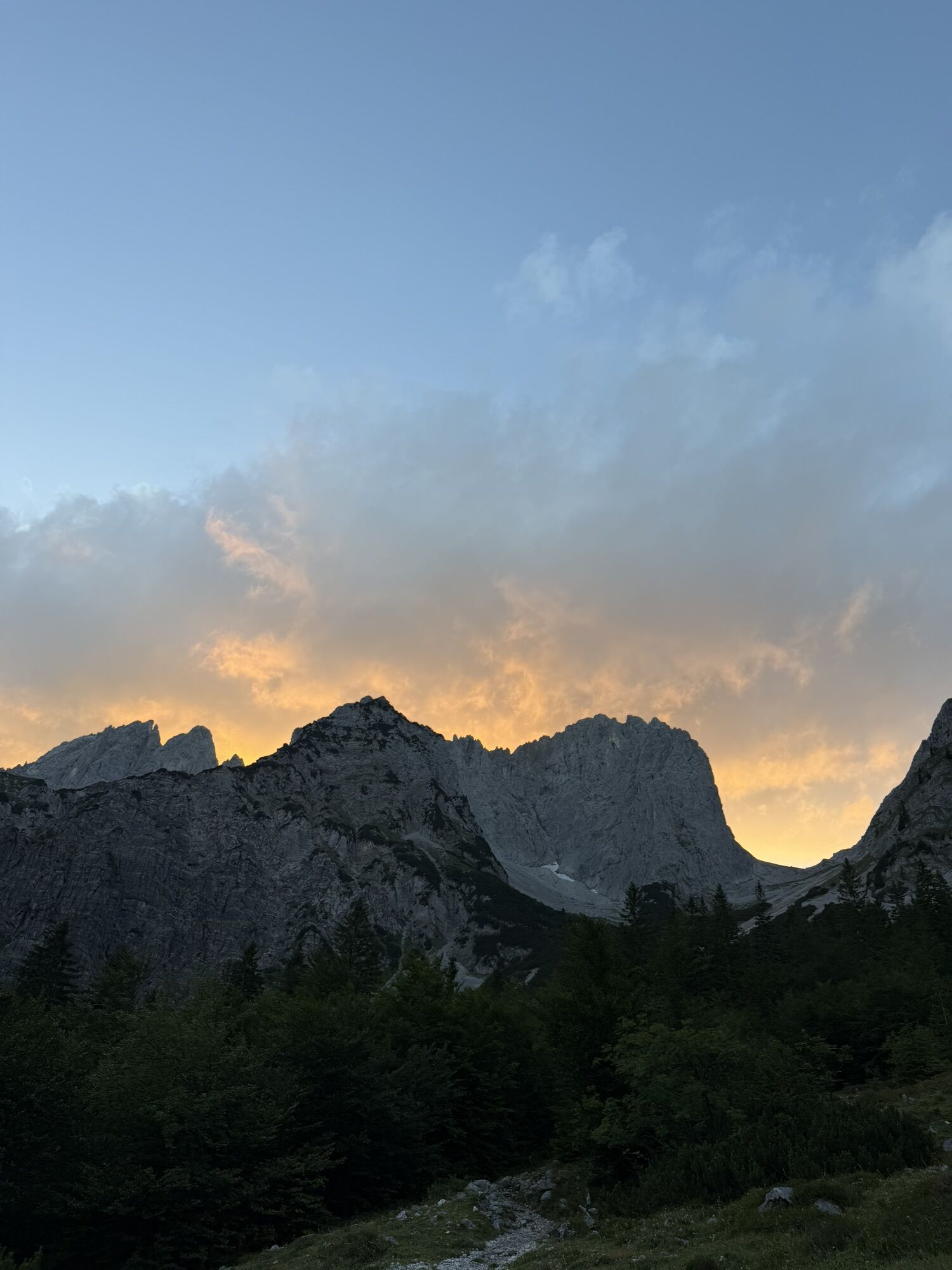
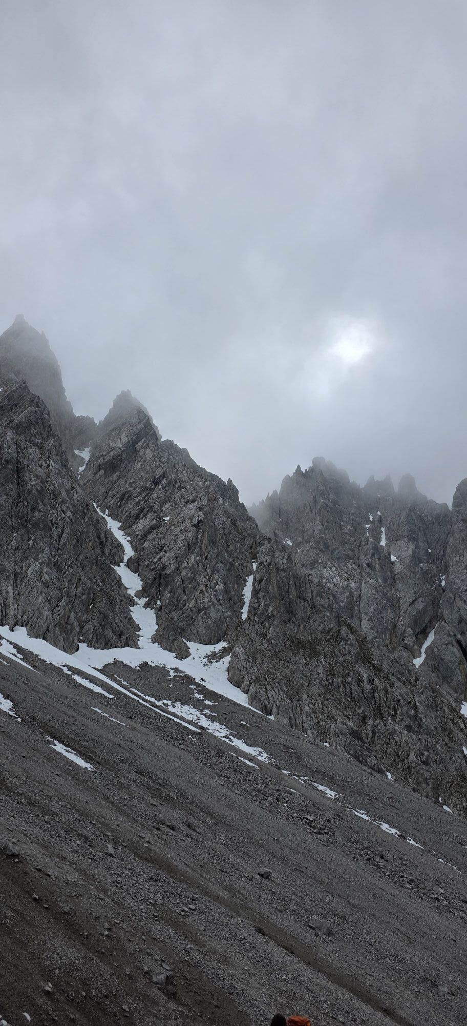
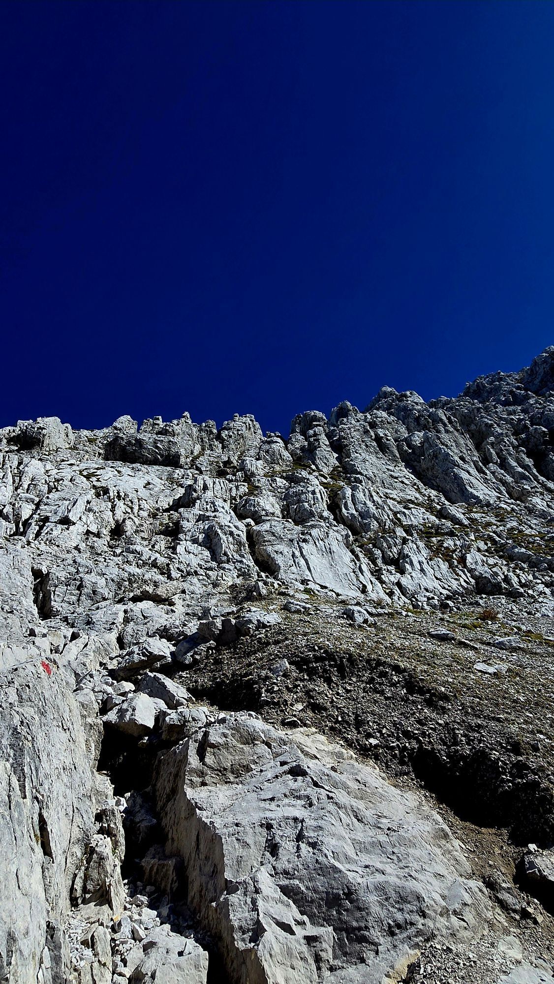
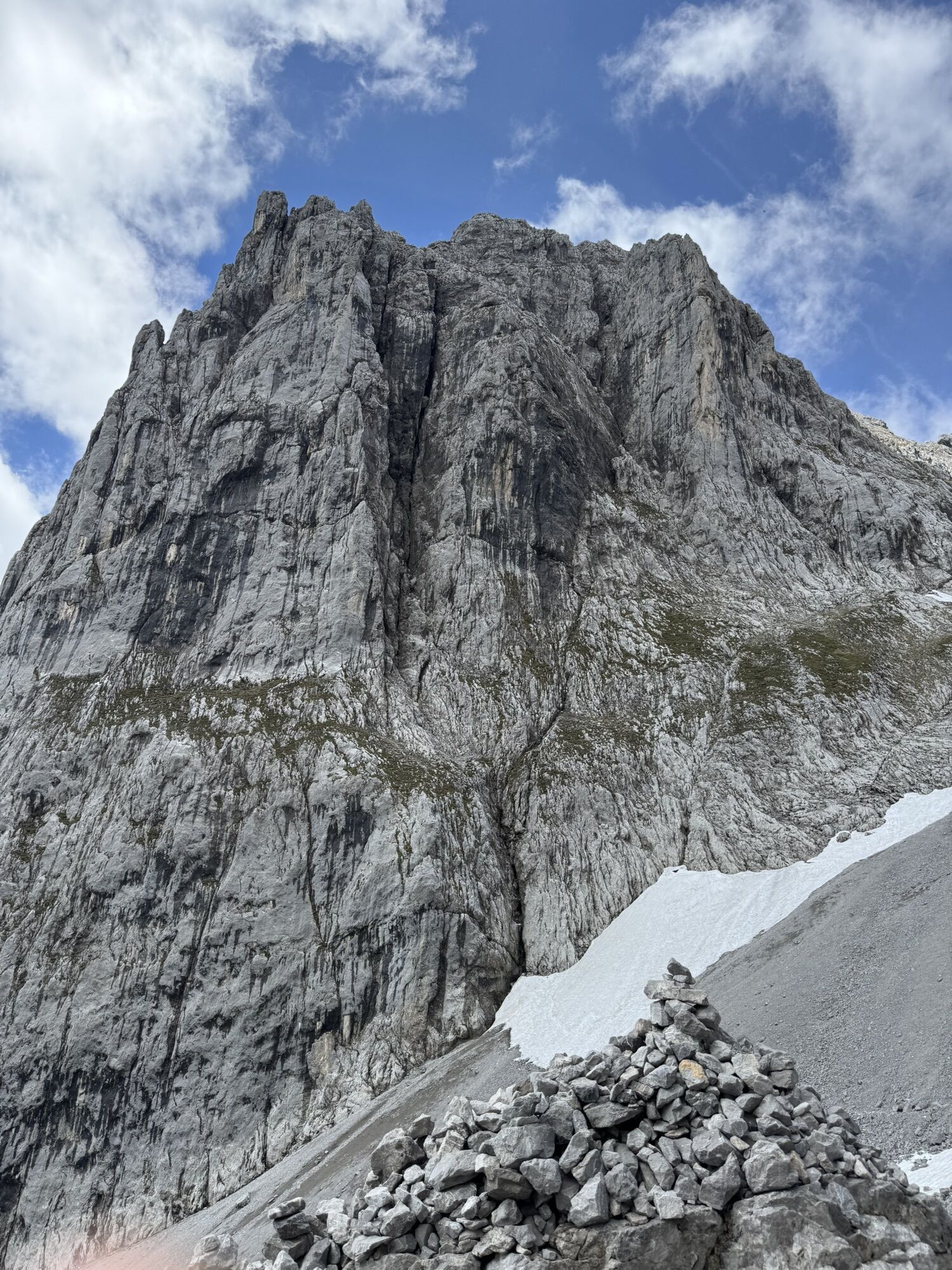
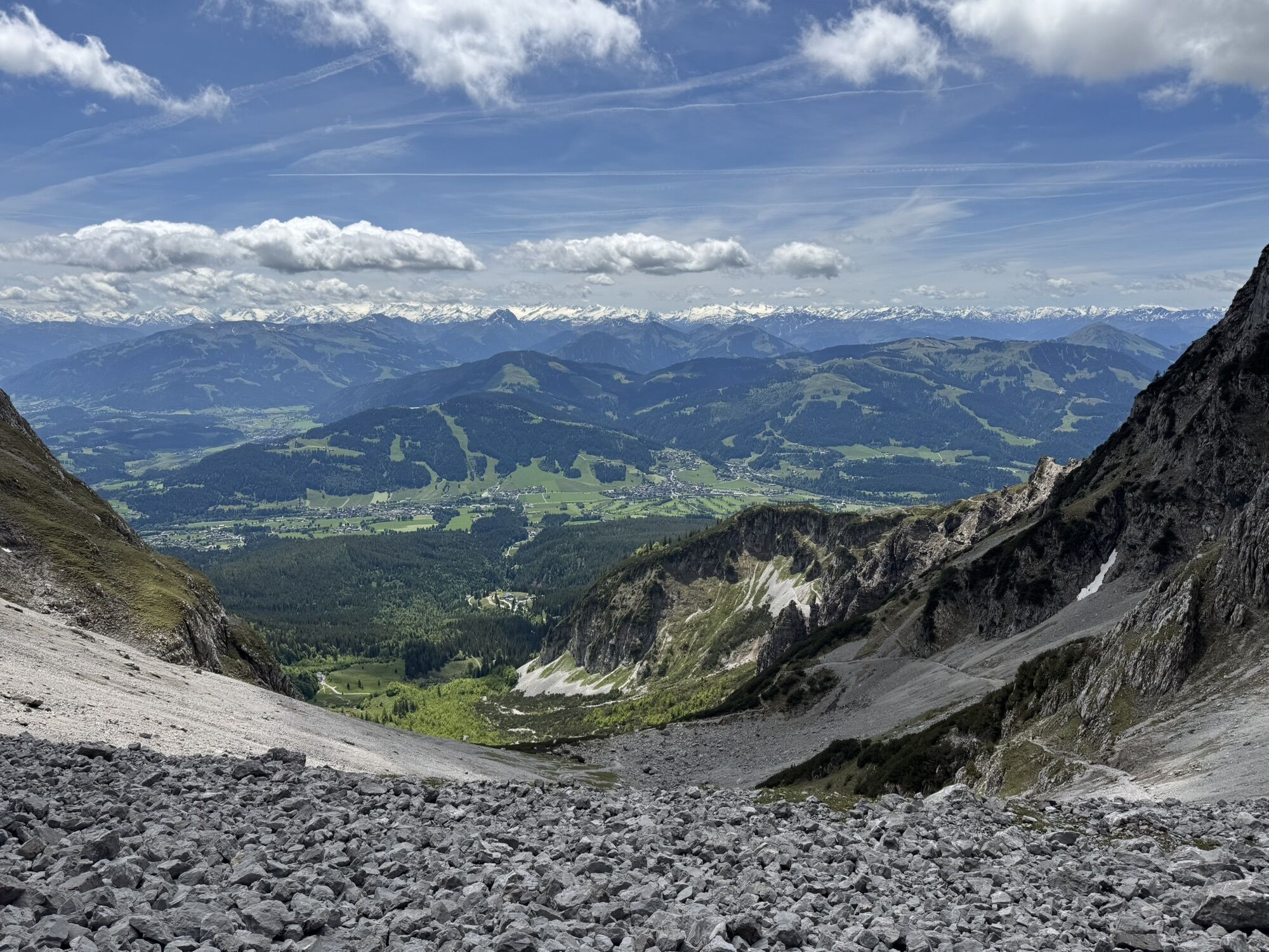
From the Ellmauer Tor, follow the signs to Hintere Goinger Halt in an easterly direction. Cross a short rock step and a steep gravel field to a longer rock passage (short section secured with an iron chain). Then in steep serpentines to the last upswing, where it goes in easy climbing to the summit. Enjoy the fantastic panoramic view from the Steinerne Rinne cirque with the historic climbing walls of the Fleischbank, to Lake Chiemsee, the Fritz-Pflaum mountain hut in the heart of the eastern part oft eh Wilder Kaiser and the Hohe Tauern mountain range in the south. Descent:
As ascent
Variant:
Approach from the Griesner Alm mountain inn in the Kaiserbachtal valley on the north side of the Wilder Kaiser - see also the tour "Durchschreitung Ellmauer Tor".
Prerequisite: No fear of heights and surefootedness are absolutely necessary! HELM (danger of falling rocks)
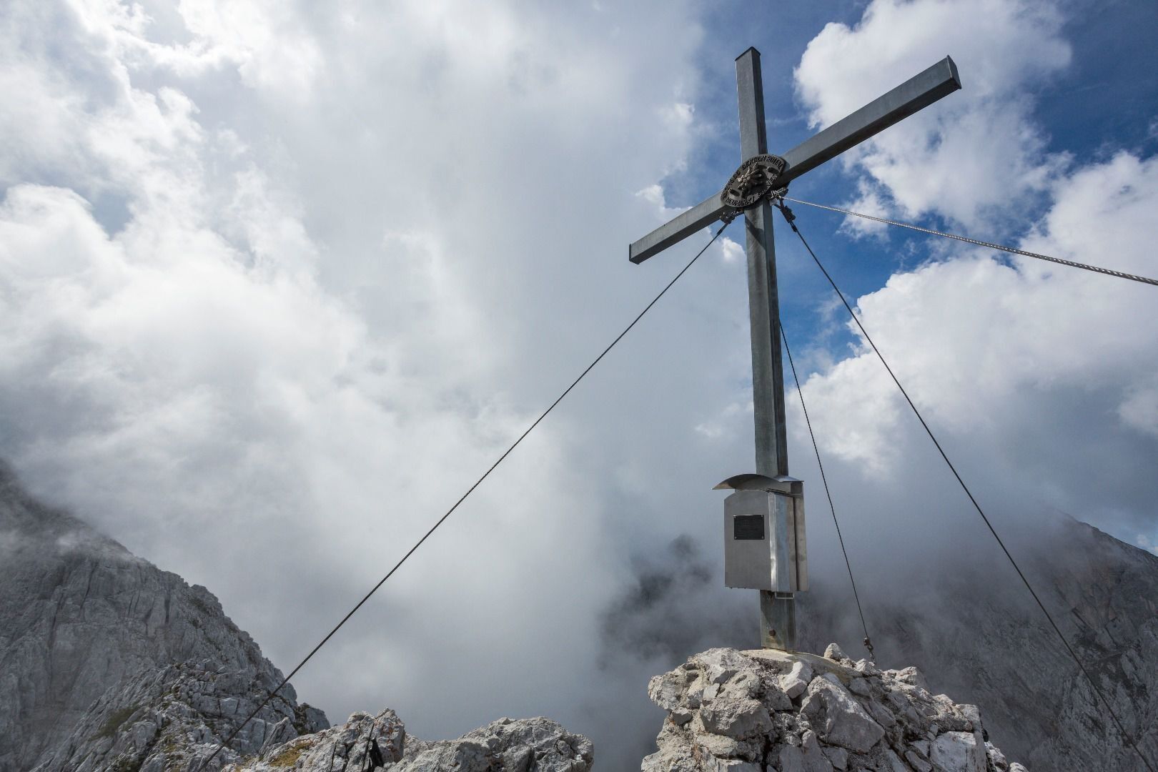
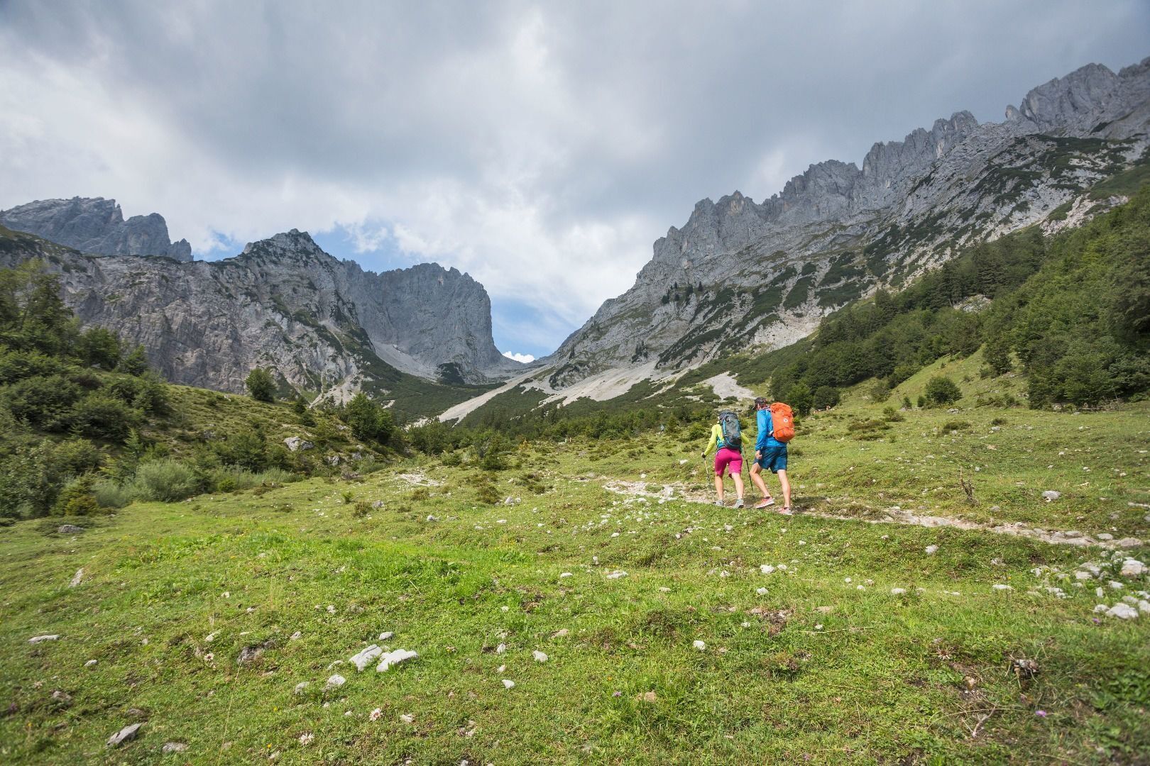
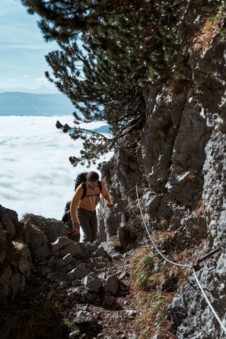
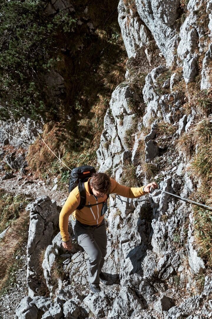
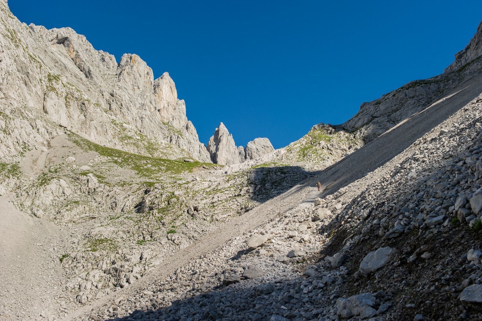
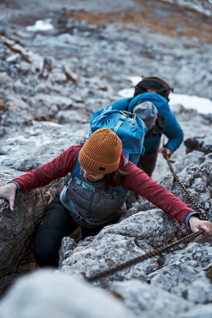
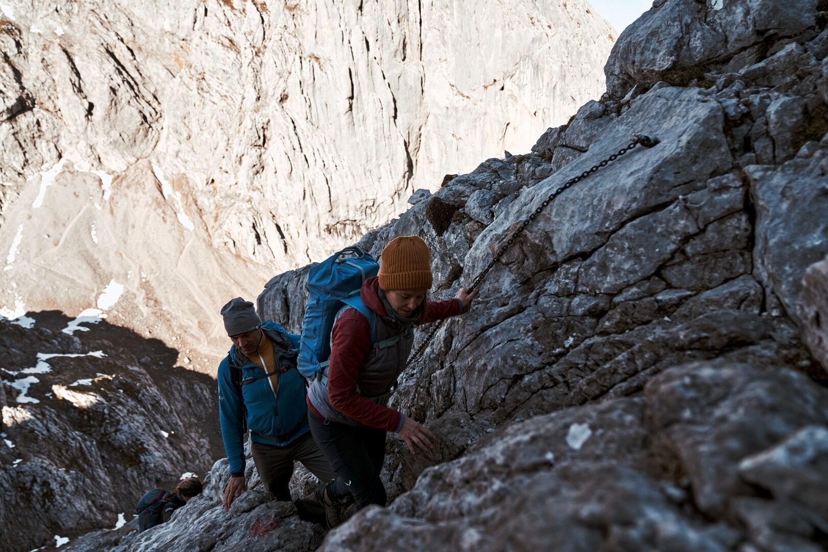
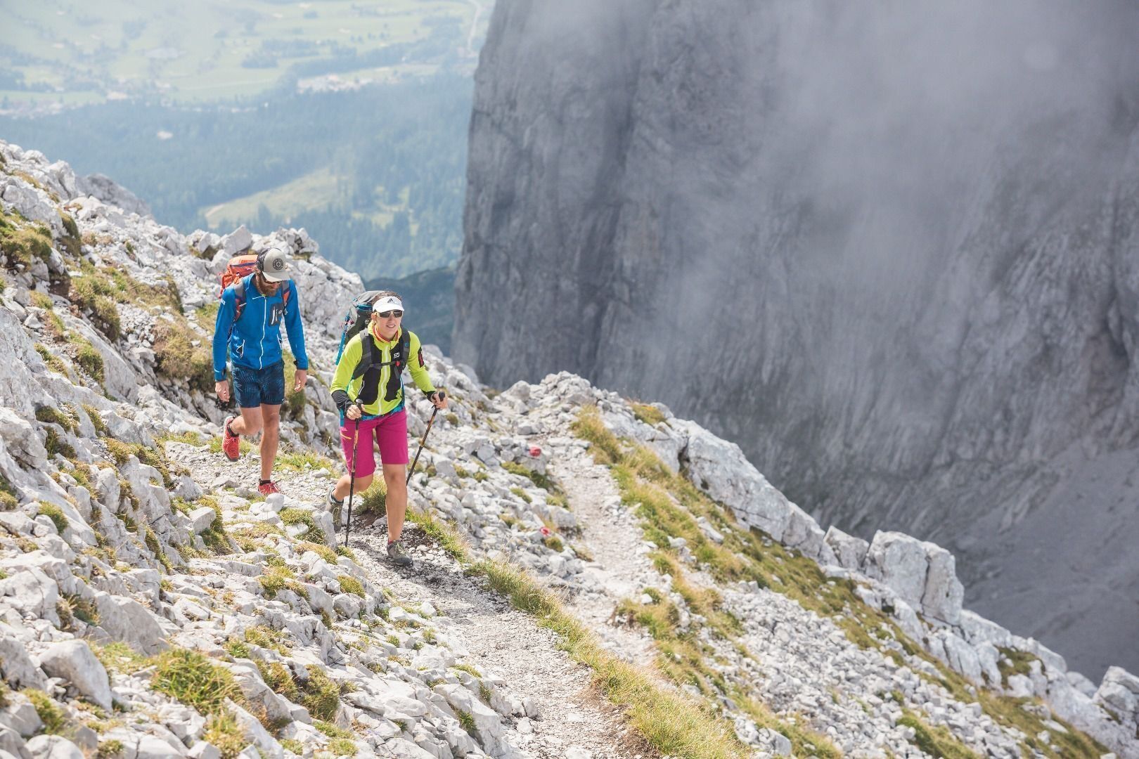
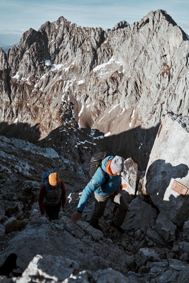


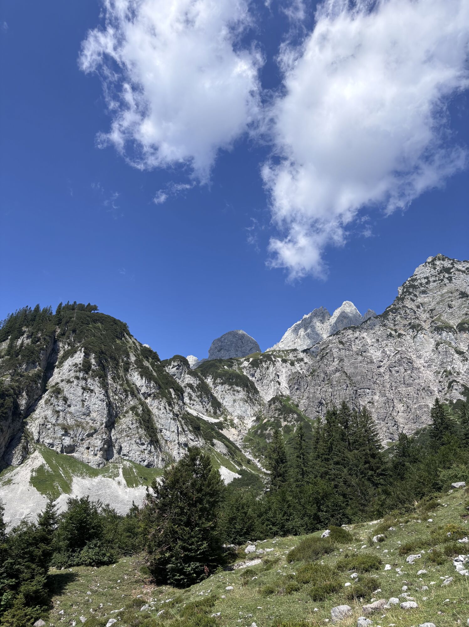
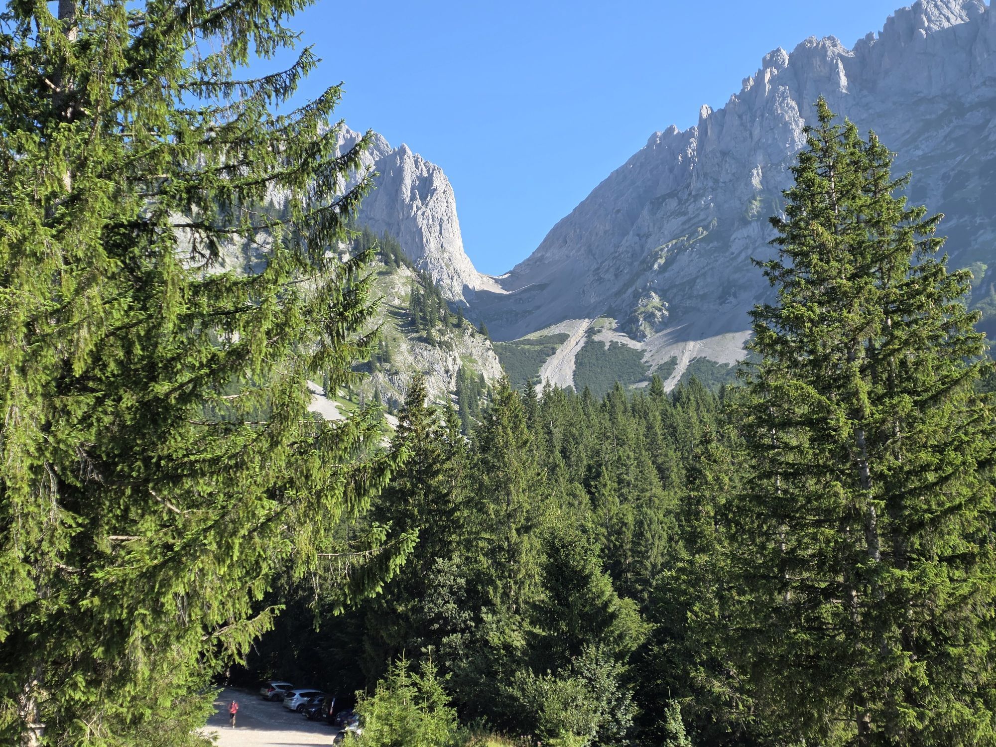
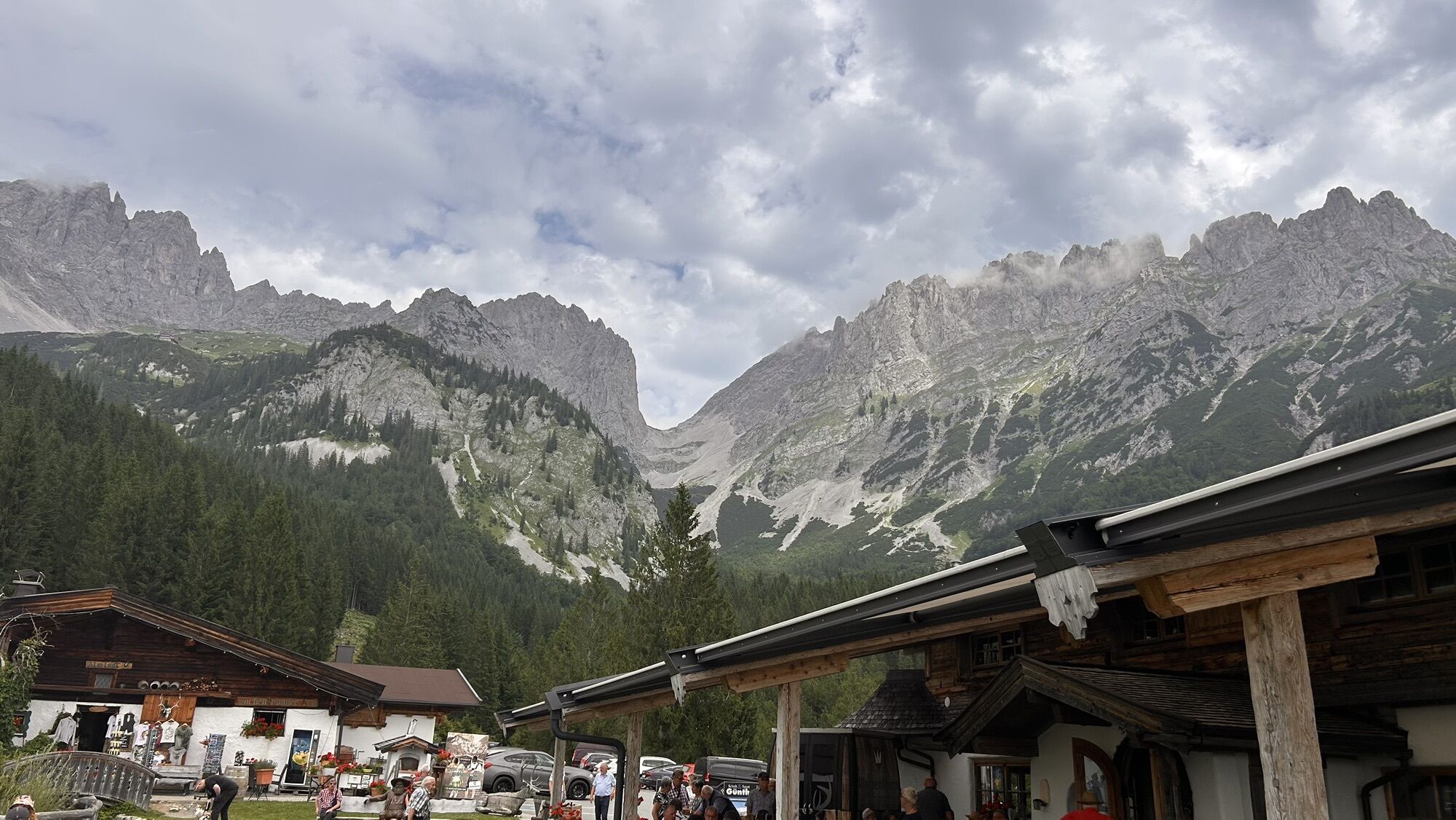
From the starting point of the hike at the Wochenbrunner Alm mountain hut you hike along the forest road to the Gaudeamushütte. Keeping to the left in front of the mountain hut you take the trail to Kübelkar cirque, always following the signs “Ellmauer Tor”. The first part of the ascent is on a good trail through fields of mountain pine and then across wide areas of scree up to the Ellmauer Tor rock saddle at 2,006 m (920 m of elevation gain to this point). Heading at first eastwards, there’s a steep section of meadows and scree and then a short easy scramble (in part secured by ropes) to the summit of the Hintere Goinger Halt at 2,192 m. Enjoy the fantastic views of the impressive Steinerne Rinne cirque - perhaps you’ll also come across the odd climber on the Fleischbank’s famous and historical rock faces.
Descent:
as ascent
Option:
first follow the ascent route back to the Ellmauer Tor and then on the north side across the Eggersteig trail into the Kaiserbachtal valley to the Griesner Alm mountain inn. Carry on from there by taxi or bus back to Ellmau.
Wilder Kaiser hiking map (1:25.000) available at the Tourist information offices Ellmau, Going, Scheffau and Söll.
Rucksack, hiking/mountaineering boots, hiking gear (breathable), change of clothes, sun protection (sunglasses, sun cream, headgear), waterproofs (hardshell), cold protection (gloves and hat), water bottle, food for eating on the way, hiking poles if desired, first aid kit, plastic bag for waste, hiking map/route description (gpx track)Via ferrata set, climbing harness and helmet if desired.
Heading from St. Johann on the B178 road, take the first exit to Ellmau and then drive straight on until you reach the junction (green signs – leading towards KaiserBad/Kaisergebirge/Wochenbrunn). Turn right here, then turn right again immediately after passing the bus stop. Follow the (toll) road until you reach the Wochenbrunner Alm car park.
More information at: www.wilderkaiser.info
Wochenbrunner Alm mountain hut, Ellmau (1,085 m) – free car park (toll road)

Actividades a lo largo del recorrido
-

Ellmau, Tirol/Österreich
17.09.2026 – Senderismo -

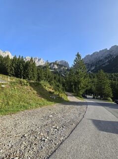
Ellmau, Tirol/Österreich Ellmauer Tor
27.08.2026 – Senderismo -
Kirchdorf in Tirol, Tirol/Österreich
22.08.2026 – Senderismo -

Ellmau, Tirol/Österreich
02.08.2026 – Senderismo -
Zum Ellmauer Tor – Wilder Kaiser
27.07.2026 – Senderismo -

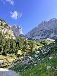
Hintere Goinger Halt über Ellmauer Tor/ Ellmau
22.07.2026 – Senderismo -
Going am Wilden Kaiser, Tirol/Österreich
20.07.2026 – Senderismo -

Ellmau, Tirol/Österreich
27.06.2026 – Senderismo -
Going am Wilden Kaiser, Tirol/Österreich
18.06.2026 – Esquí de travesía -

Ellmau, Tirol/Österreich
09.06.2026 – Senderismo -

Ellmau, Tirol/Österreich
03.05.2026 – Senderismo -
Going am Wilden Kaiser, Tirol/Österreich
24.03.2026 – Excursión de alta montaña
Rutas populares en los alrededores
-
4,7
Kirchdorf: Zur geheimnisvollen Teufelsgasse
medioSenderismo 7,90 km -
4,9
Kirchdorf: Kaiserbachtal - Stripsenkopf und Feldberg
pesadoSenderismo 12,6 km -
4,9
Schleierwasserfall Runde
medioSenderismo 5,63 km -
4,3
Erpfendorf: Griesbachklamm
medioSenderismo 10 km -
4,8
Gruttenhütte über Klammlweg
medioSenderismo 5,61 km -
5,0
Priener Hütte
medioSenderismo 7,99 km -
4,4
Kitzbüheler Horn über Horn-Gipfel-Höhenweg
medioSendero temático 5,30 km -
5,0
Kirchdorf: Stripsenjoch Klettersteige
pesadoVía ferrata 3,76 km -
4,8
Ellmauer Tor (22.07.2020)
medioSenderismo 9,32 km -
4,8
Stripsenjoch Klettersteige/ Rundwanderung von Griesener Alm über Stripsenjochhaus und Feldberg
medioVía ferrata 10,2 km
Senderismo y rastreo


No se pierda las ofertas y la inspiración para sus próximas vacaciones
Su dirección de correo electrónico se ha añadido a la lista de correo.





