


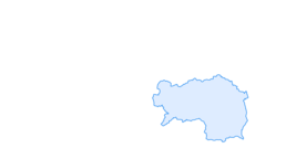

Pleschnitzzinken
Fotos de nuestros usuarios
-
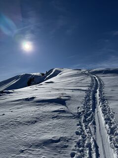
 © Andreas Ramsbacher 1Creado el 10.08.2024
 -
 © Andreas Ramsbacher 1Creado el 10.08.2024
 -
 © Andreas Ramsbacher 1Creado el 10.08.2024
 -
 © Berg NoarCreado el 04.01.2026
 -
 © Berg NoarCreado el 04.01.2026
 -
 © Berg NoarCreado el 04.01.2026
 -
 © Berg NoarCreado el 04.01.2026
 -
 © Berg NoarCreado el 04.01.2026
 -
 © Berg NoarCreado el 31.12.2025
 -
 © Berg NoarCreado el 31.12.2025
 -
 © Berg NoarCreado el 06.12.2025
 -
 © Berg NoarCreado el 06.12.2025
 -
 © Berg NoarCreado el 06.12.2025
 -
 © Berg NoarCreado el 06.12.2025
 -
 © Berg NoarCreado el 06.12.2025
 -
 © hubert195555Creado el 17.10.2025
 -

 © Benny OehmeCreado el 13.07.2025
 -
 © Benny OehmeCreado el 13.07.2025
 -
 © Benny OehmeCreado el 13.07.2025
 -
 © Benny OehmeCreado el 13.07.2025
 -
 © Benny OehmeCreado el 13.07.2025
 -
 © Benny OehmeCreado el 13.07.2025
 -

 © NiciLangstrumpfCreado el 30.01.2025
 -
 © NiciLangstrumpfCreado el 30.01.2025
 -
 © NiciLangstrumpfCreado el 30.01.2025
 -
 © Andreas Ramsbacher 1Creado el 10.08.2024
 -
 © Andreas Ramsbacher 1Creado el 10.08.2024
 -
 © Andreas Ramsbacher 1Creado el 10.08.2024
 -
 © Andreas Ramsbacher 1Creado el 10.08.2024
 -
 © Andreas Ramsbacher 1Creado el 10.08.2024
 -
 © Andreas Ramsbacher 1Creado el 10.08.2024
 -
 © Andreas Ramsbacher 1Creado el 10.08.2024
 -
 © Gregor1054Creado el 01.02.2026
 -
 © Gregor1054Creado el 01.02.2026
 -
 © Gregor1054Creado el 01.02.2026
 -
 © Gregor1054Creado el 01.02.2026
 -
 © Gerald MTBCreado el 18.01.2025


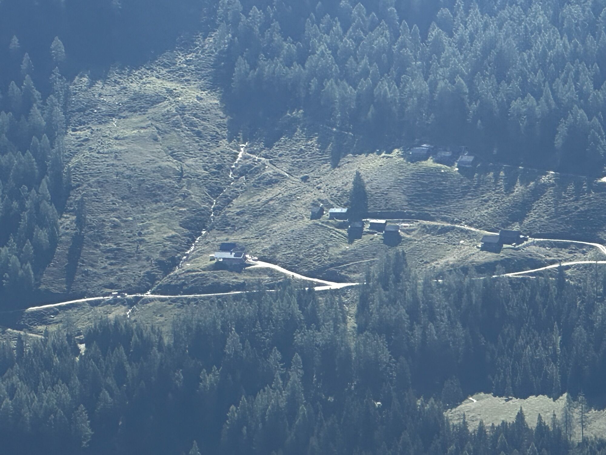


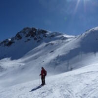
Vom Parkplatz am Galsterberg beim Bottinghaus 1600m wandern wir den Weg Nr. 783 zur oberen Galsterbergalm, wo sich Ziegen tummeln und ein Kinderspielplatz zum Rasten einlädt. Wir wandern den markierten...
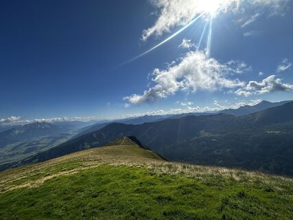
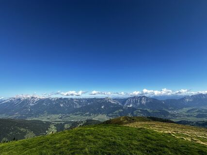
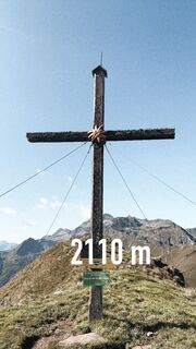
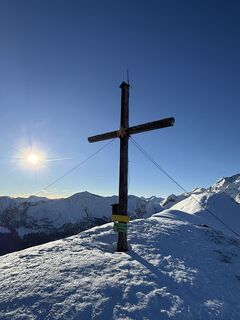
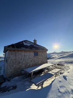
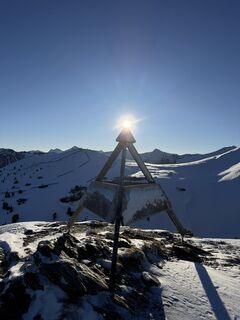
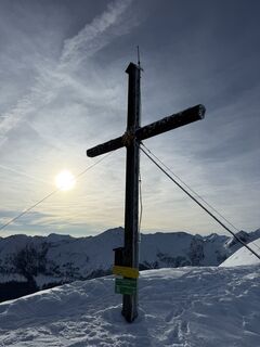
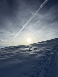
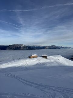
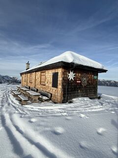
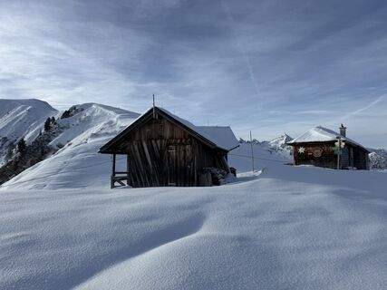
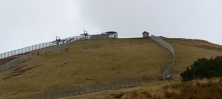
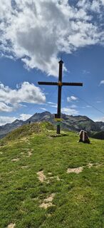
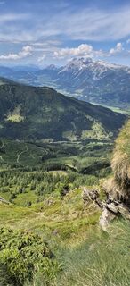
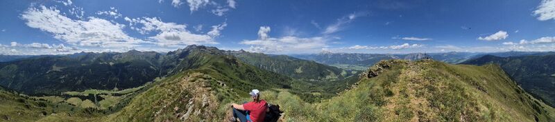
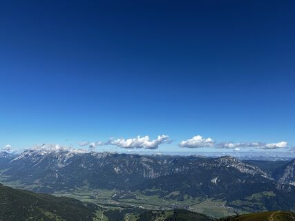
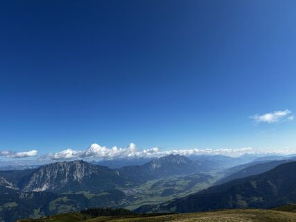
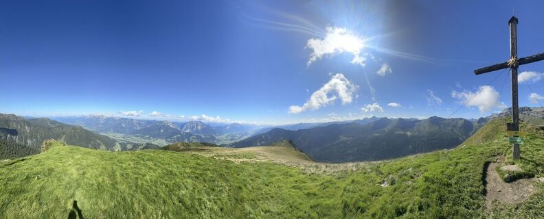
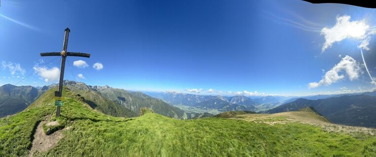
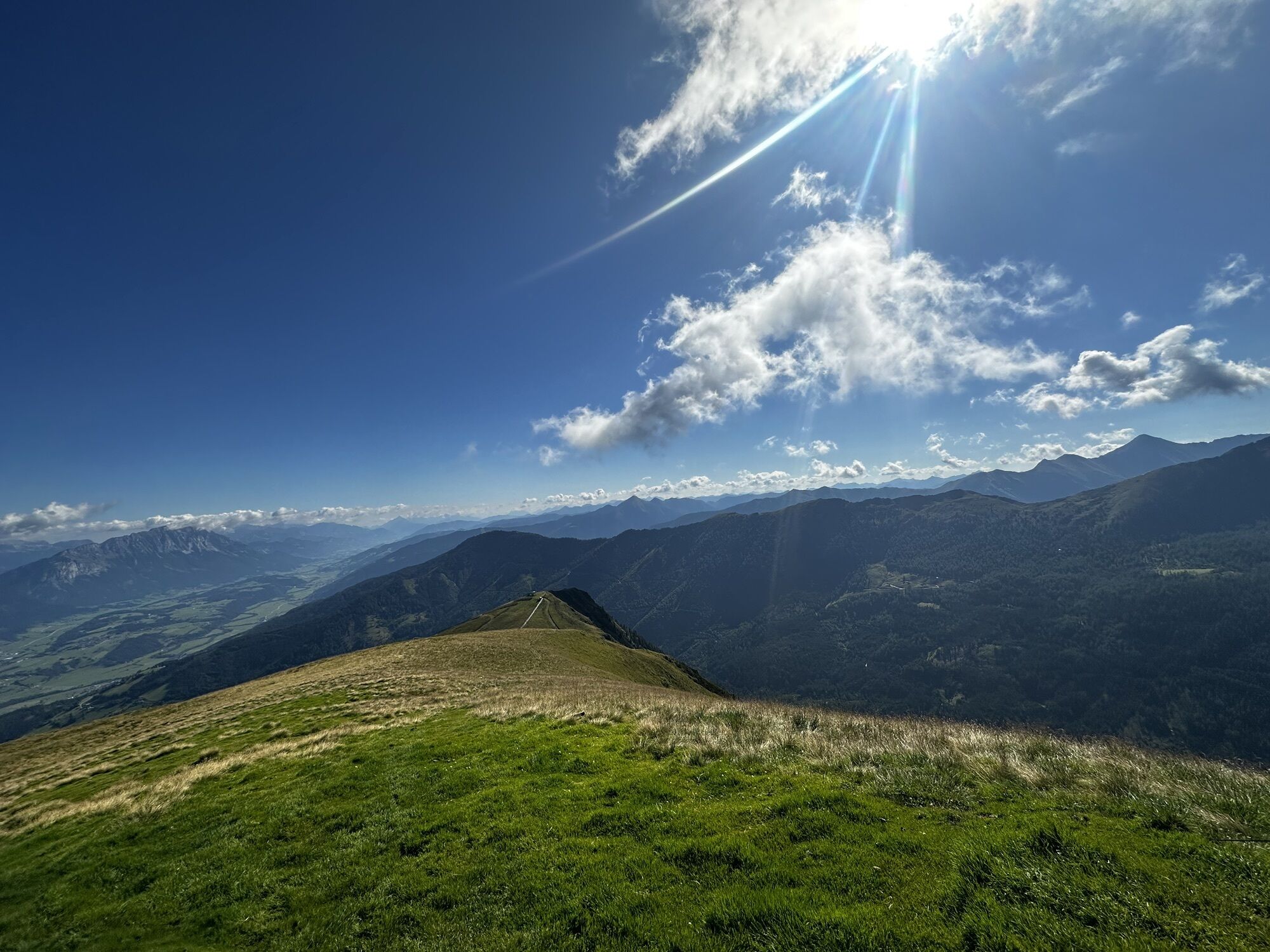
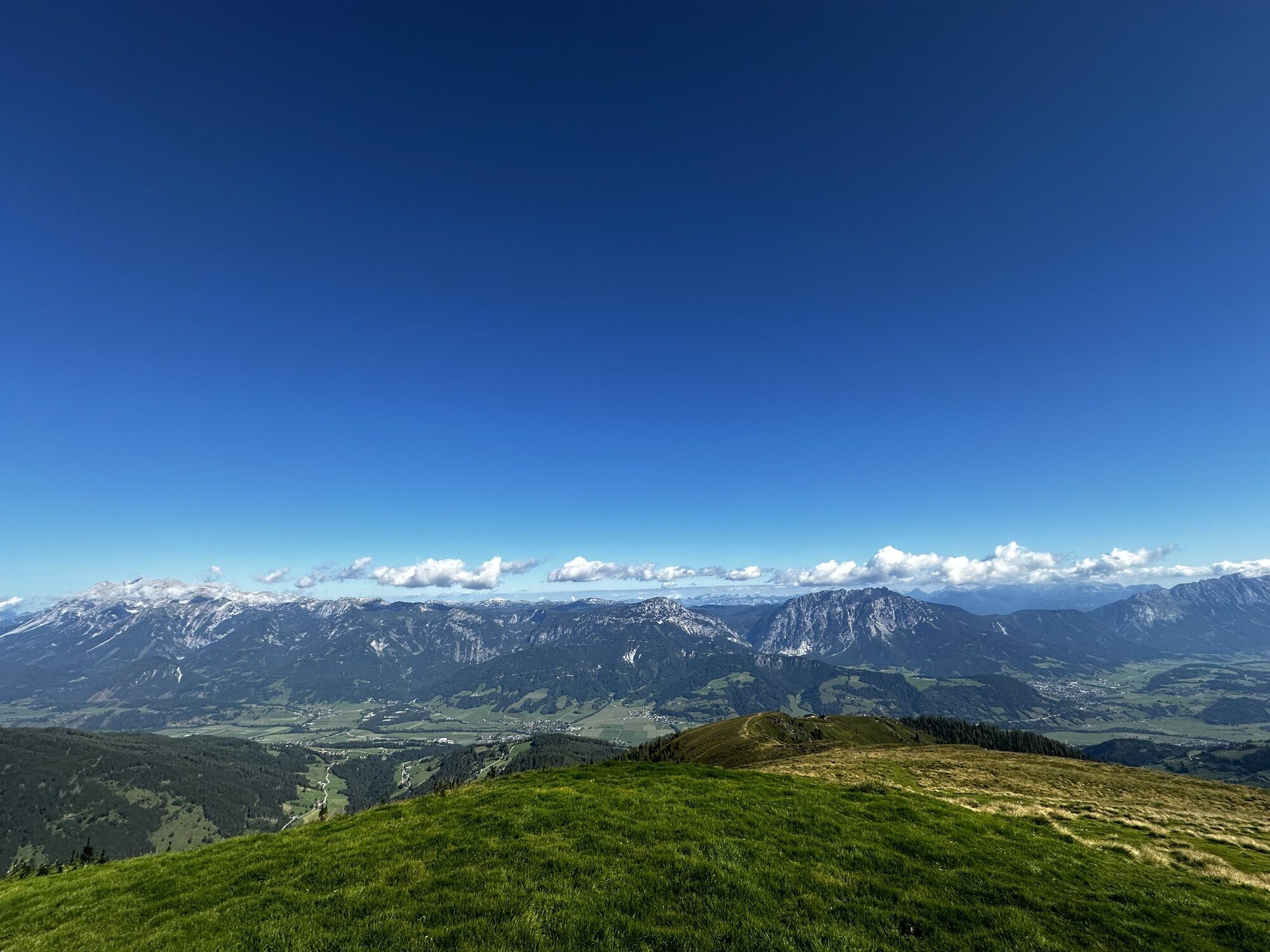
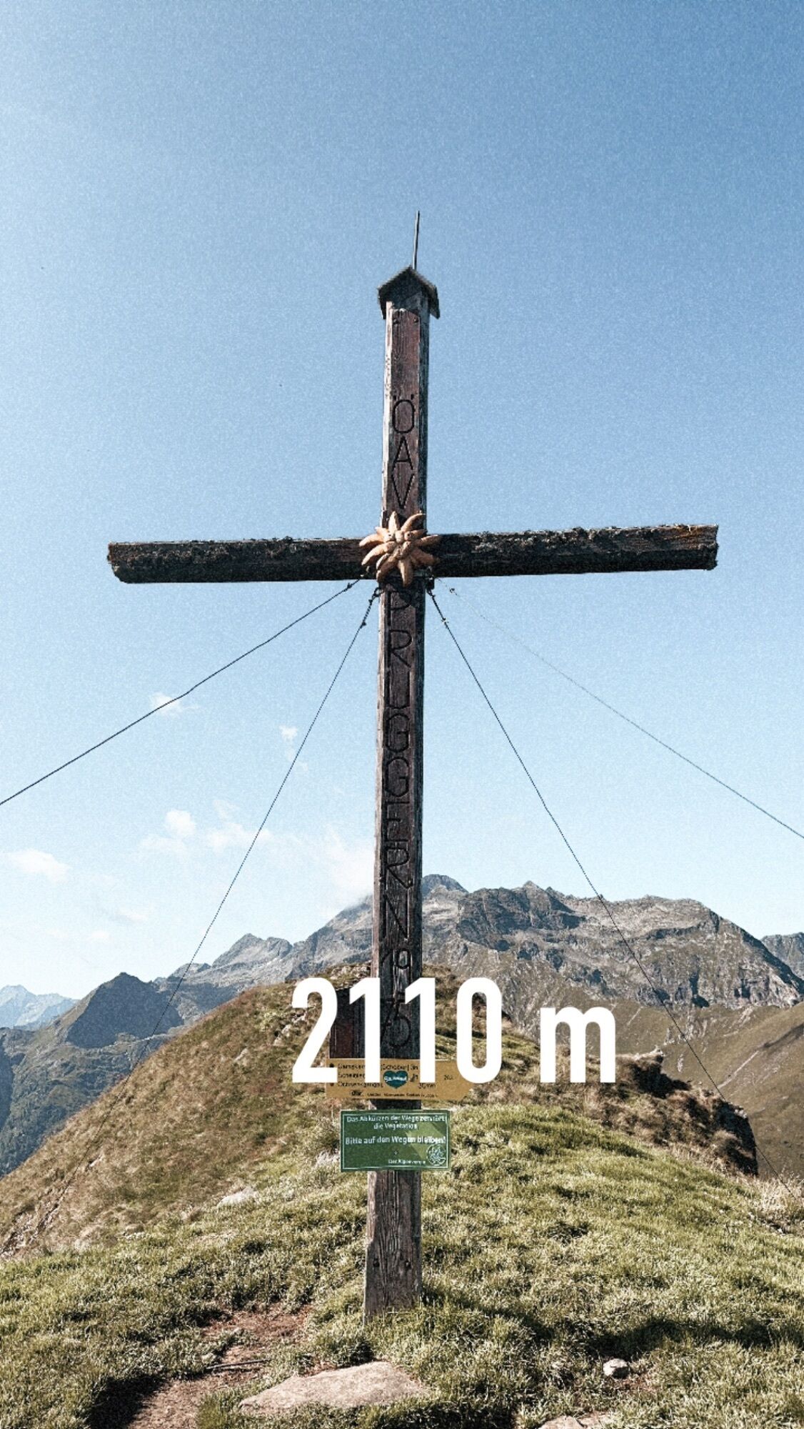
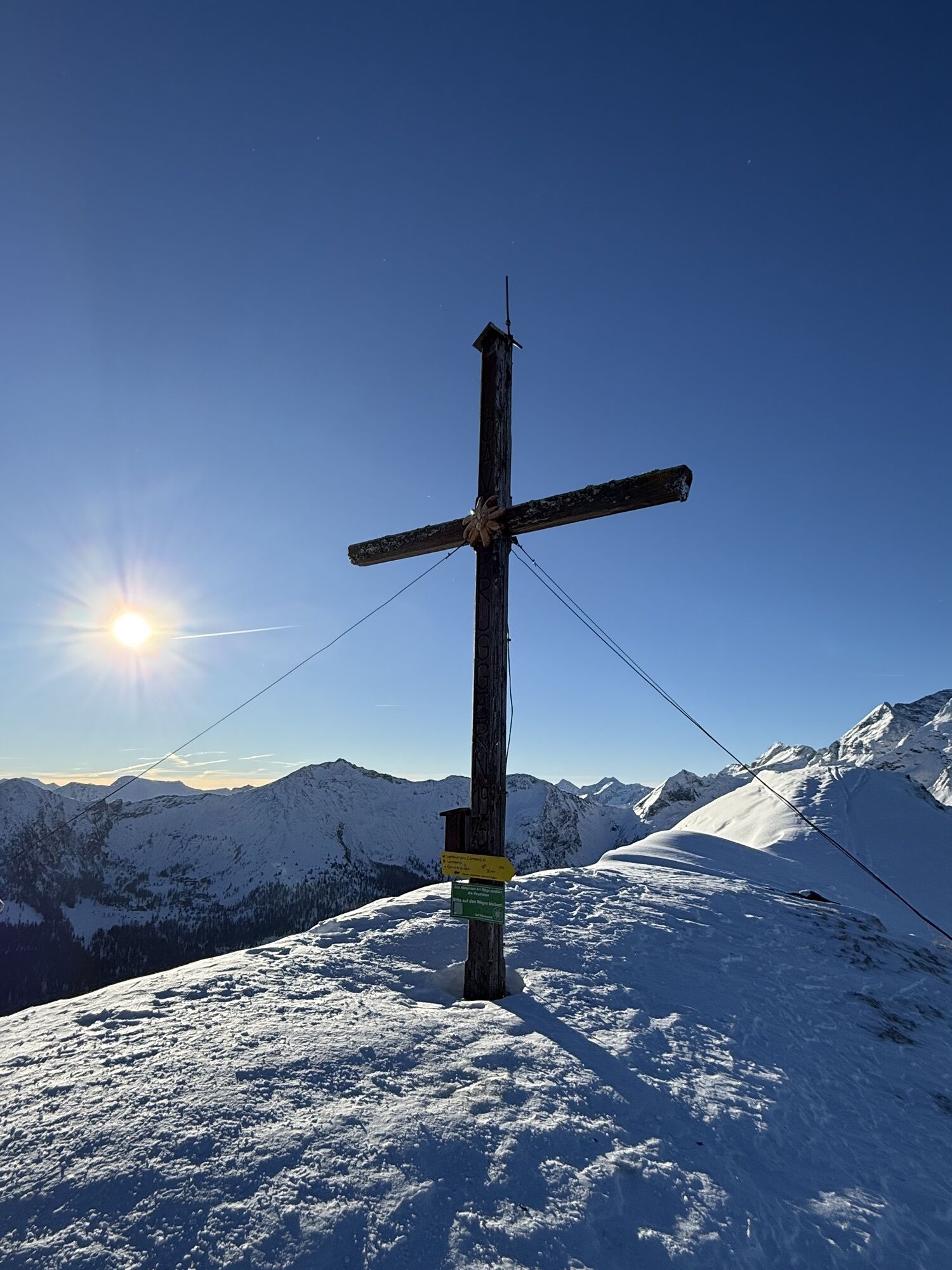
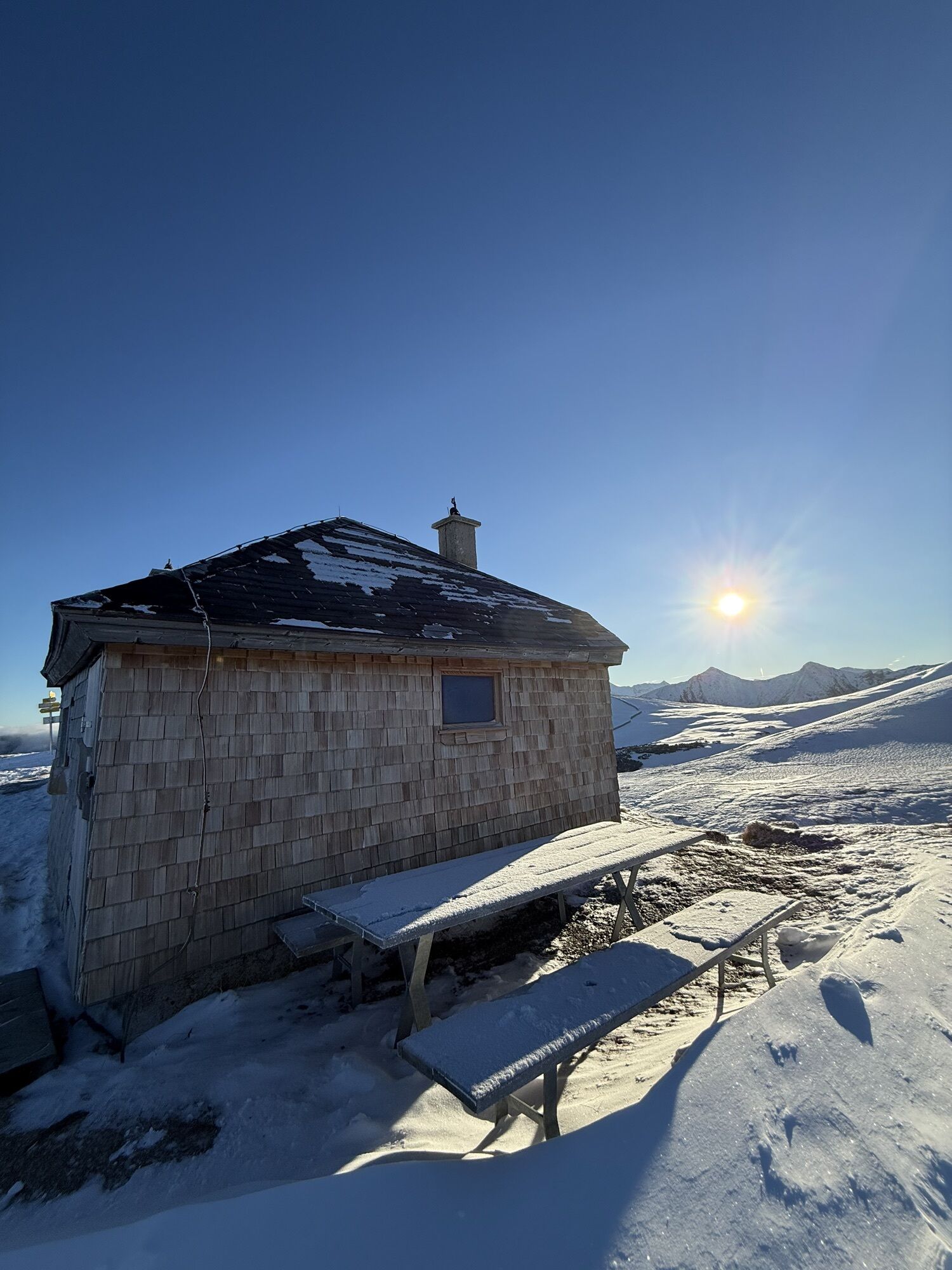
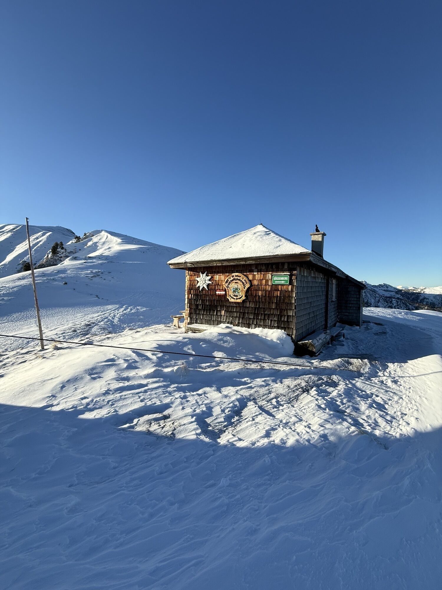
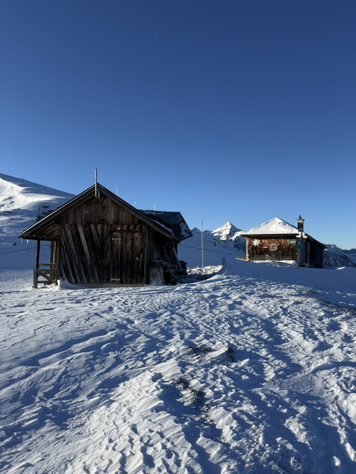
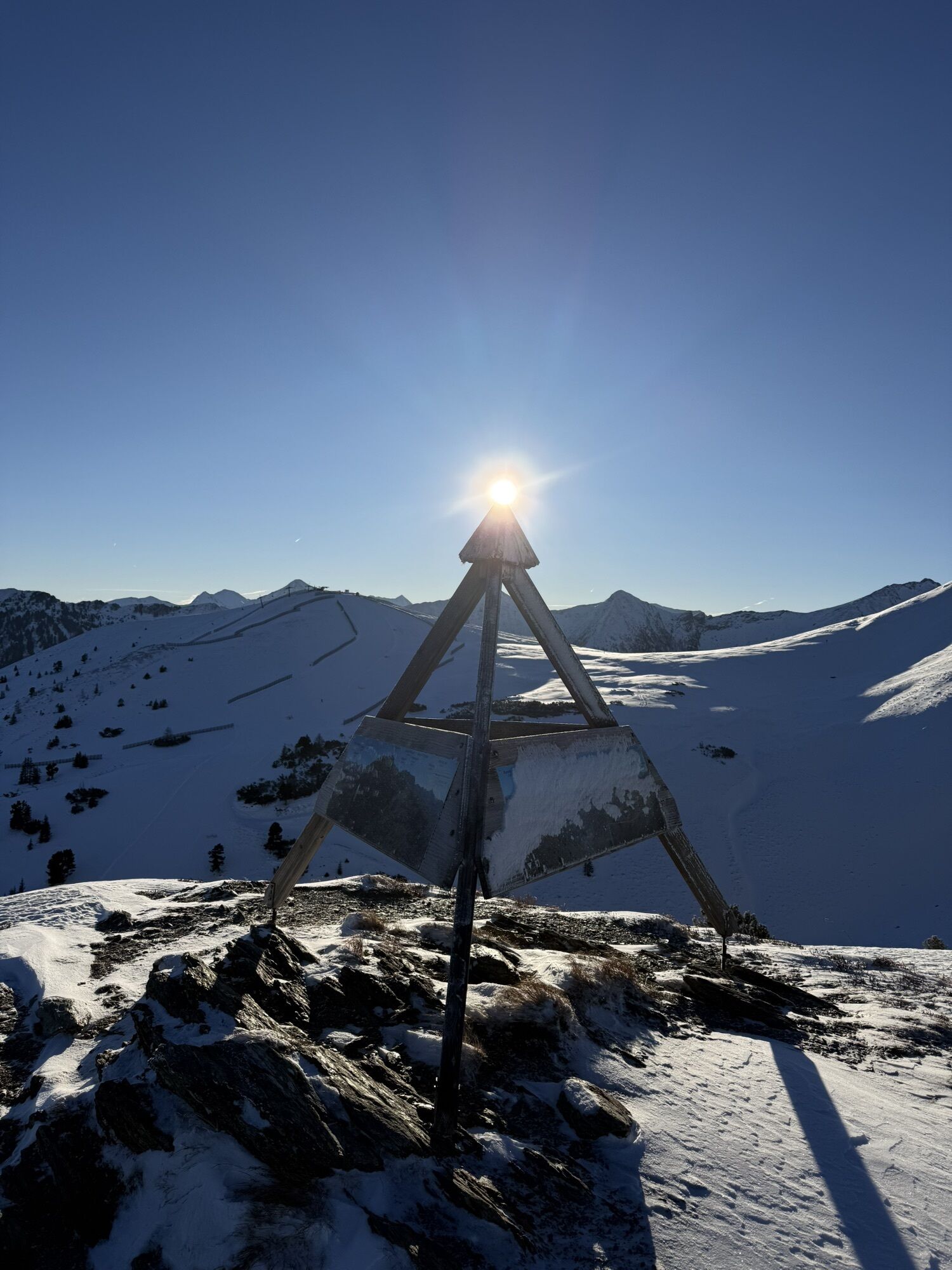
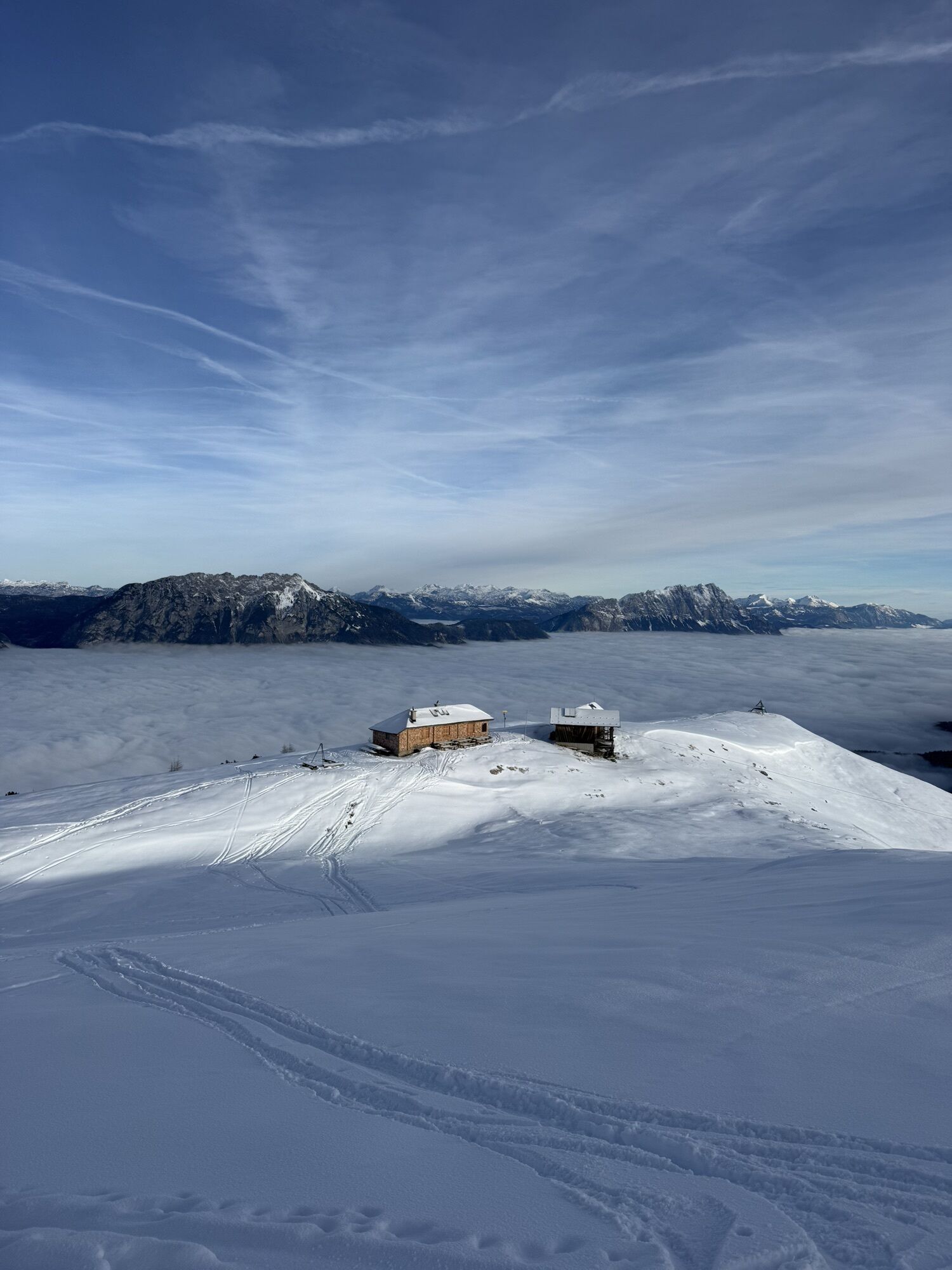
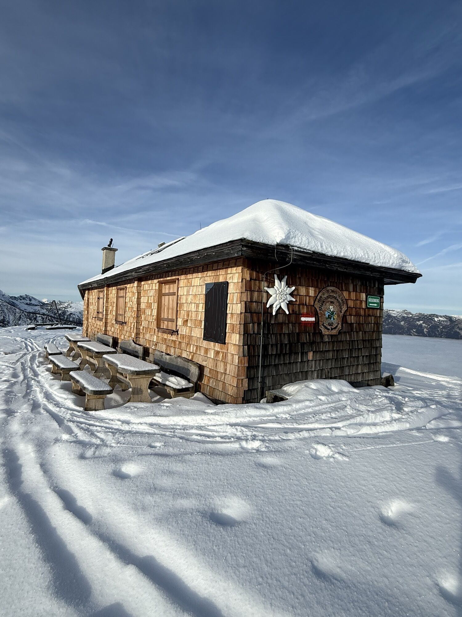
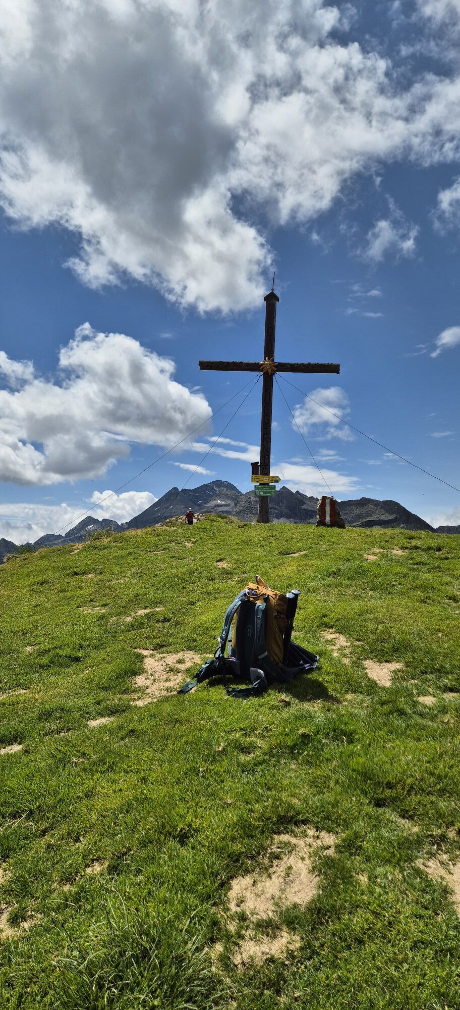
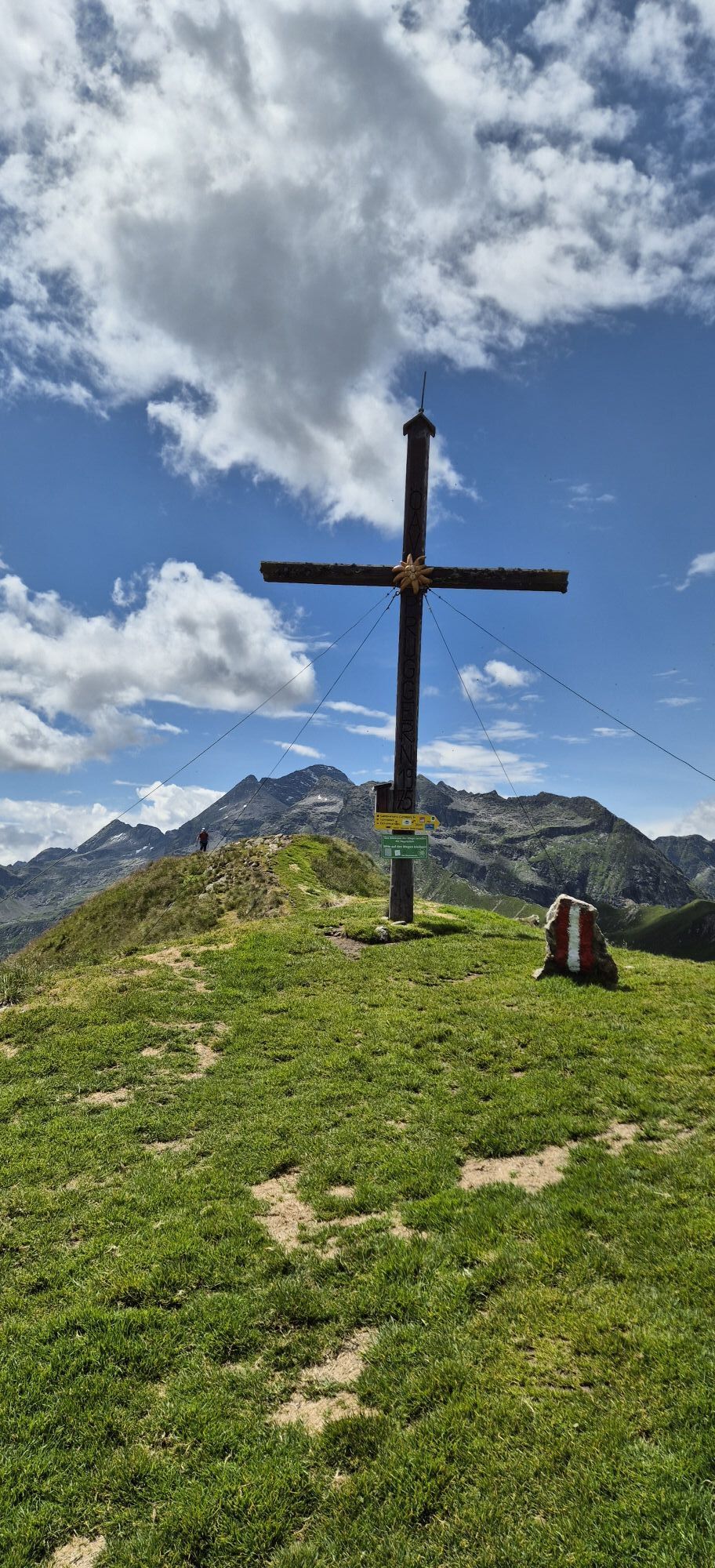
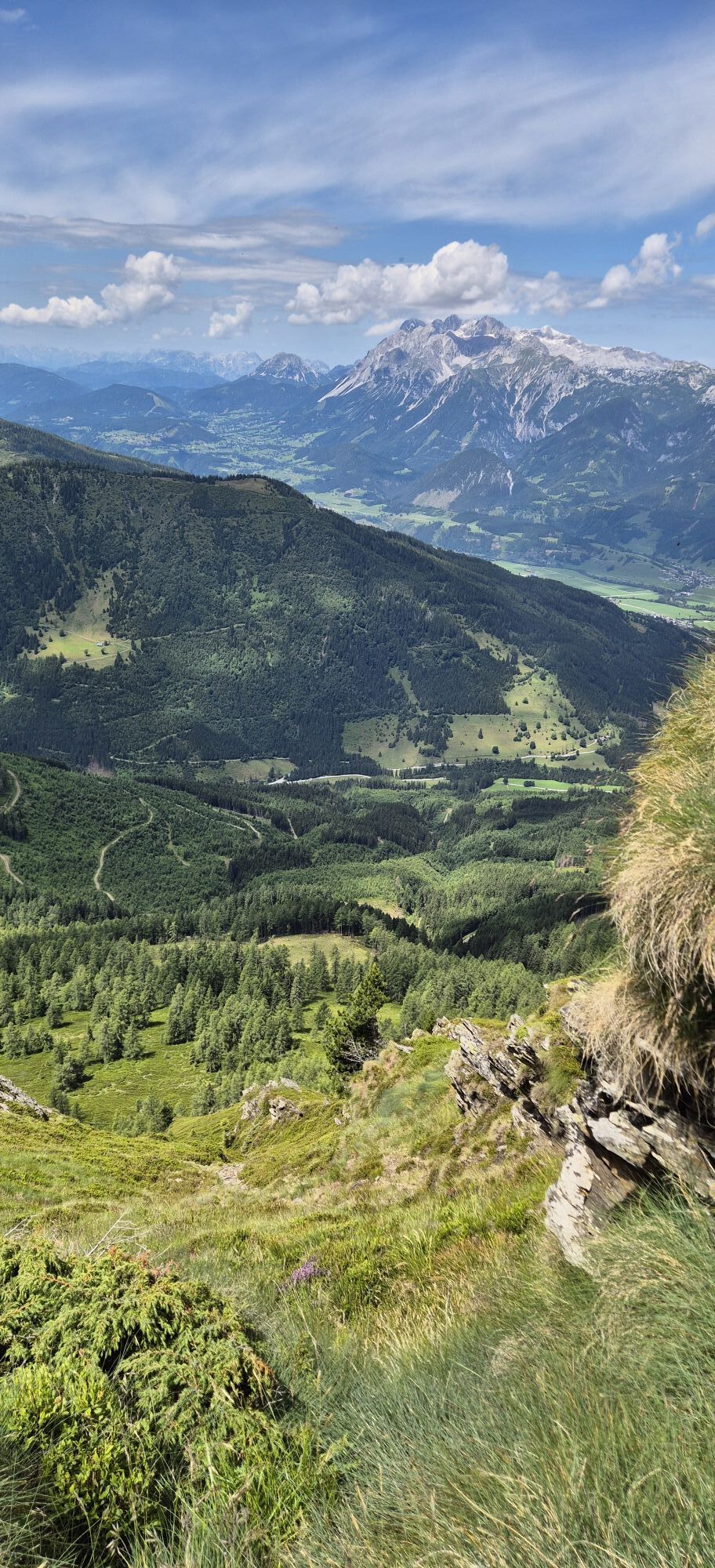
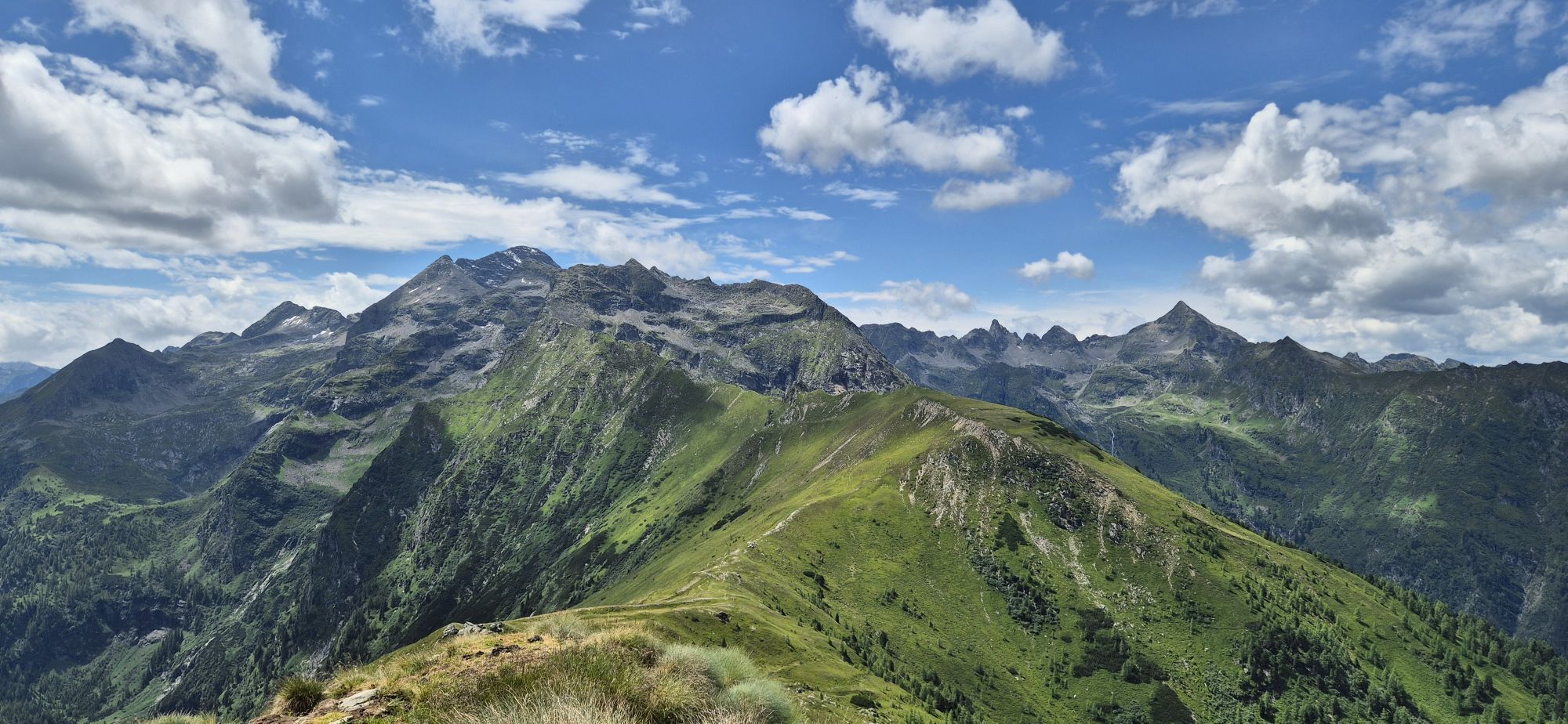
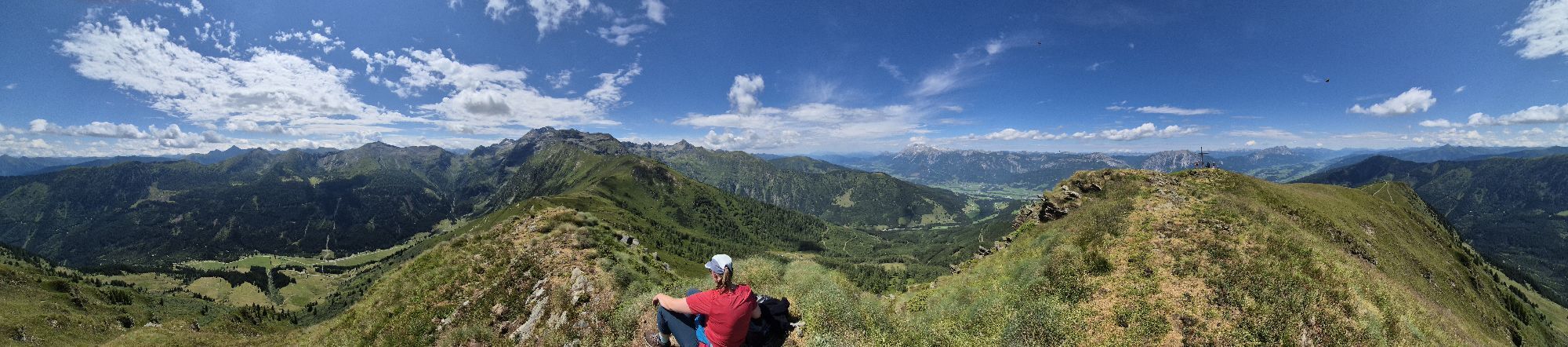
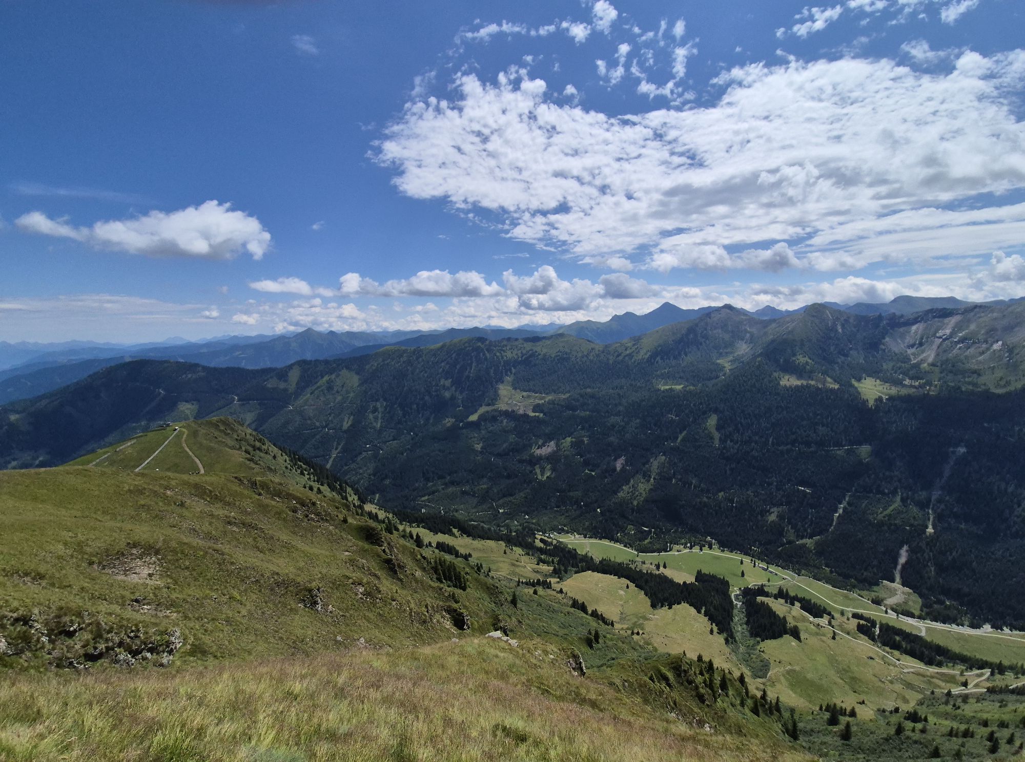
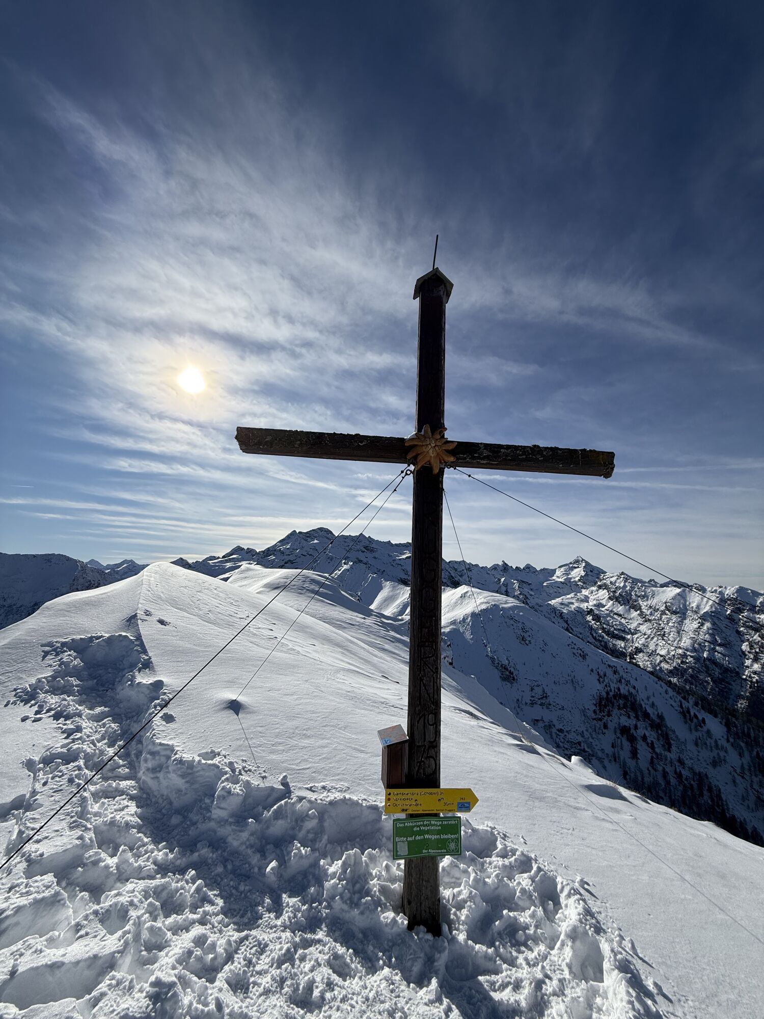
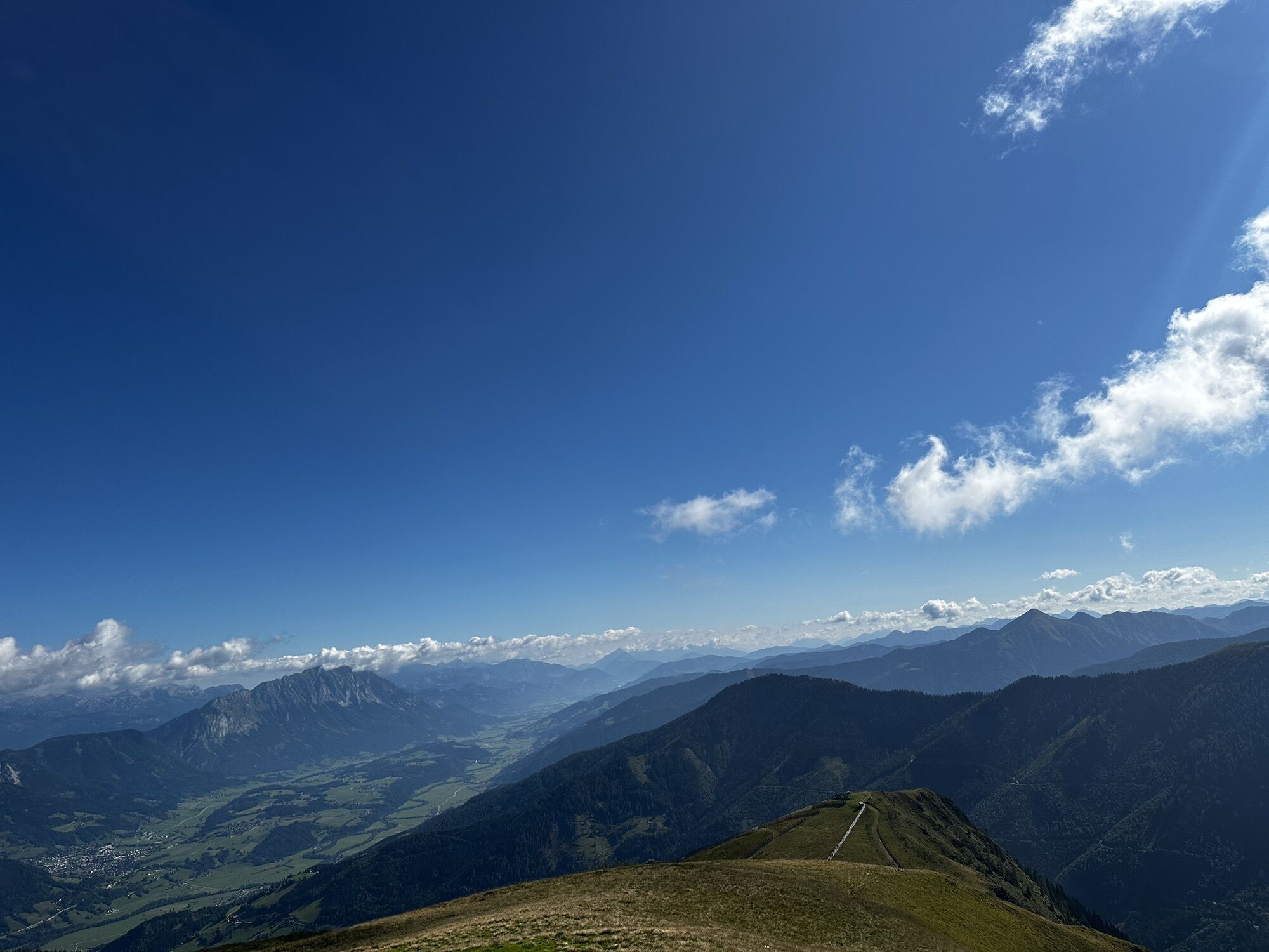
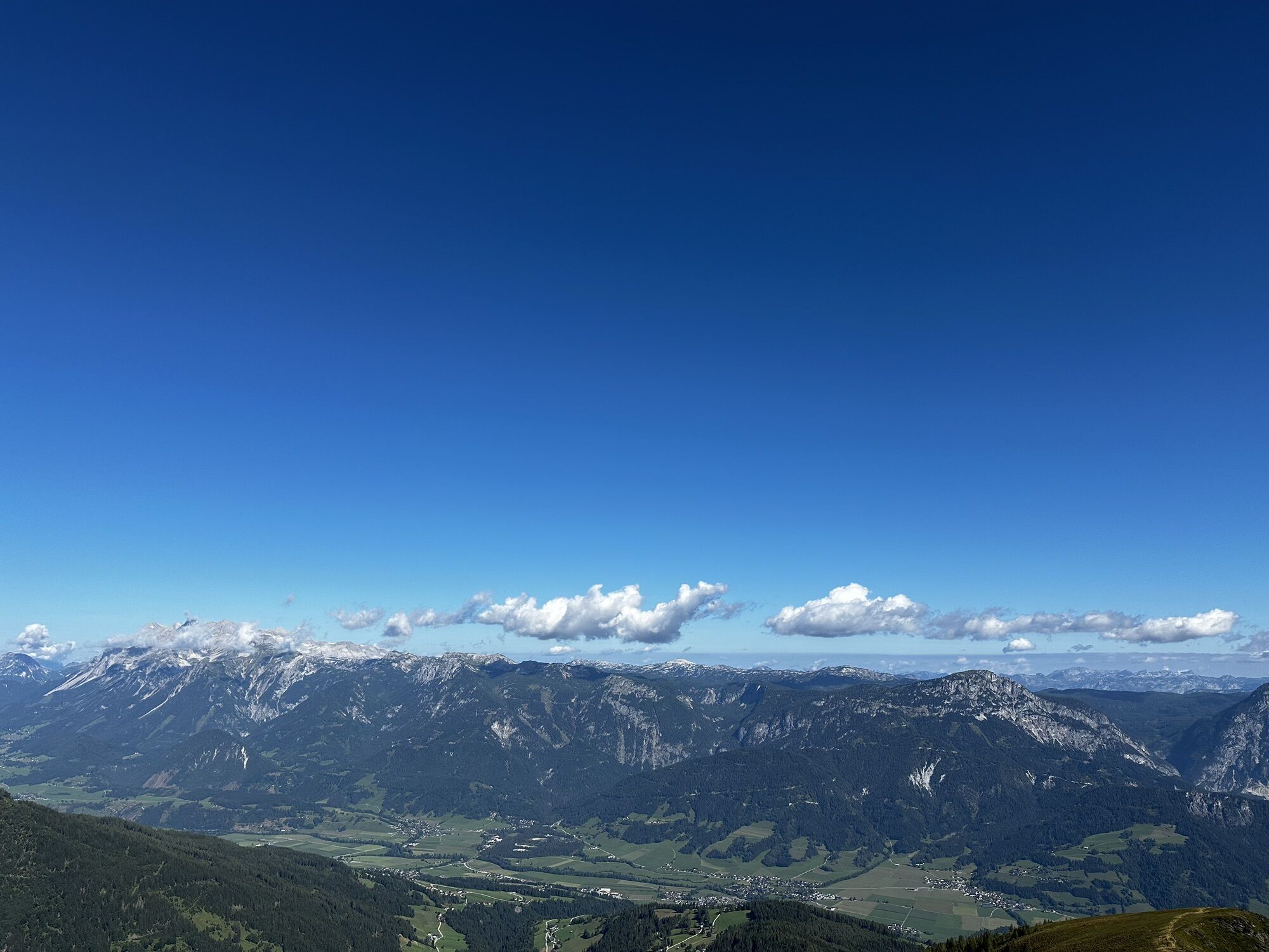
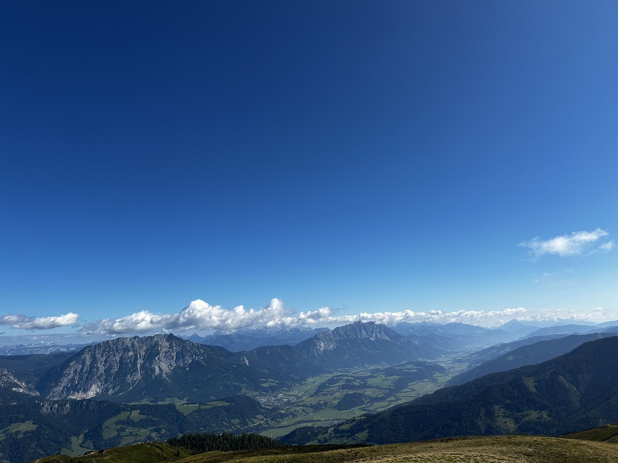
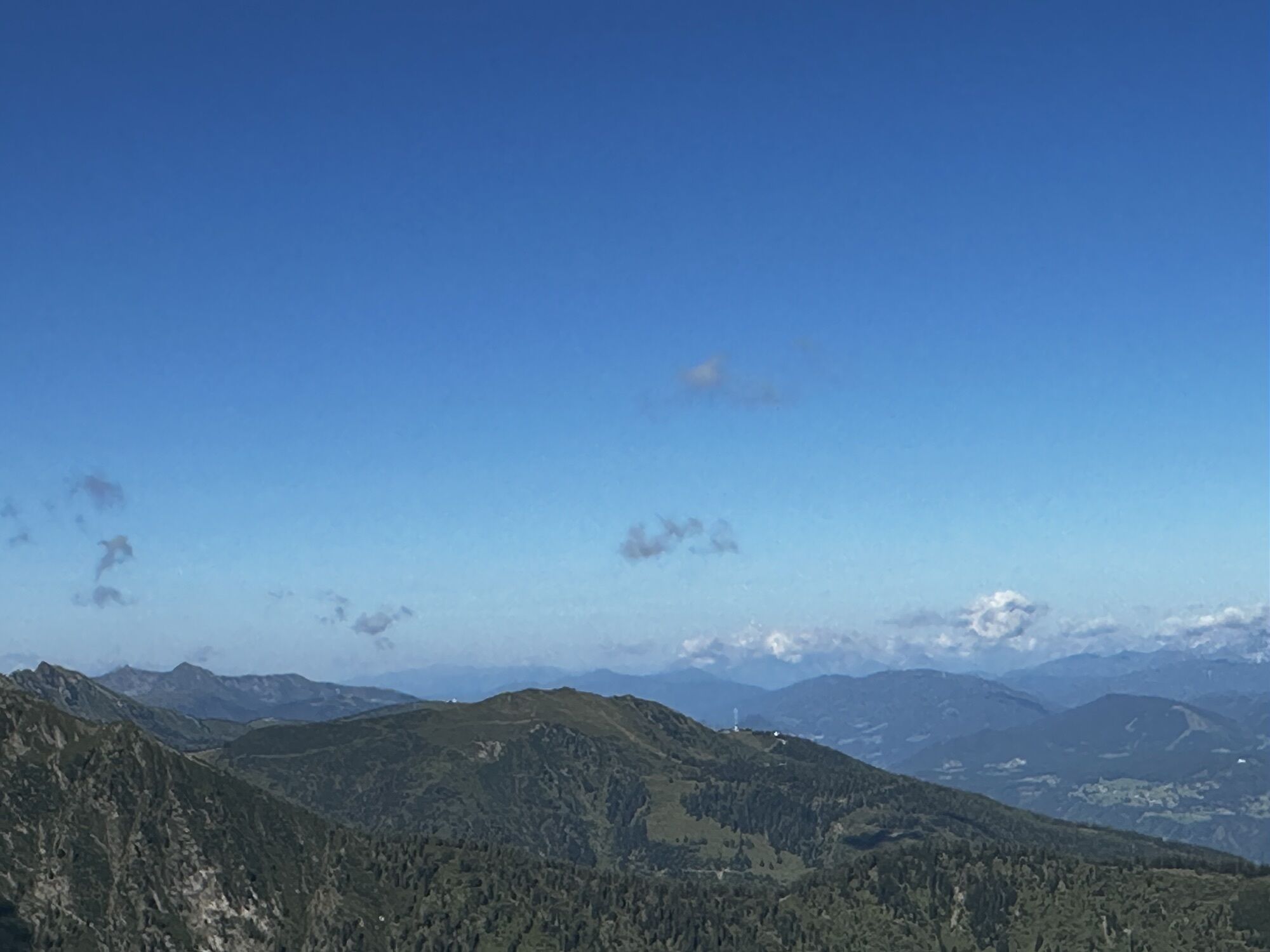
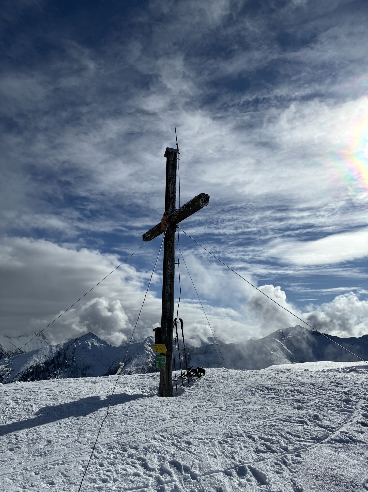
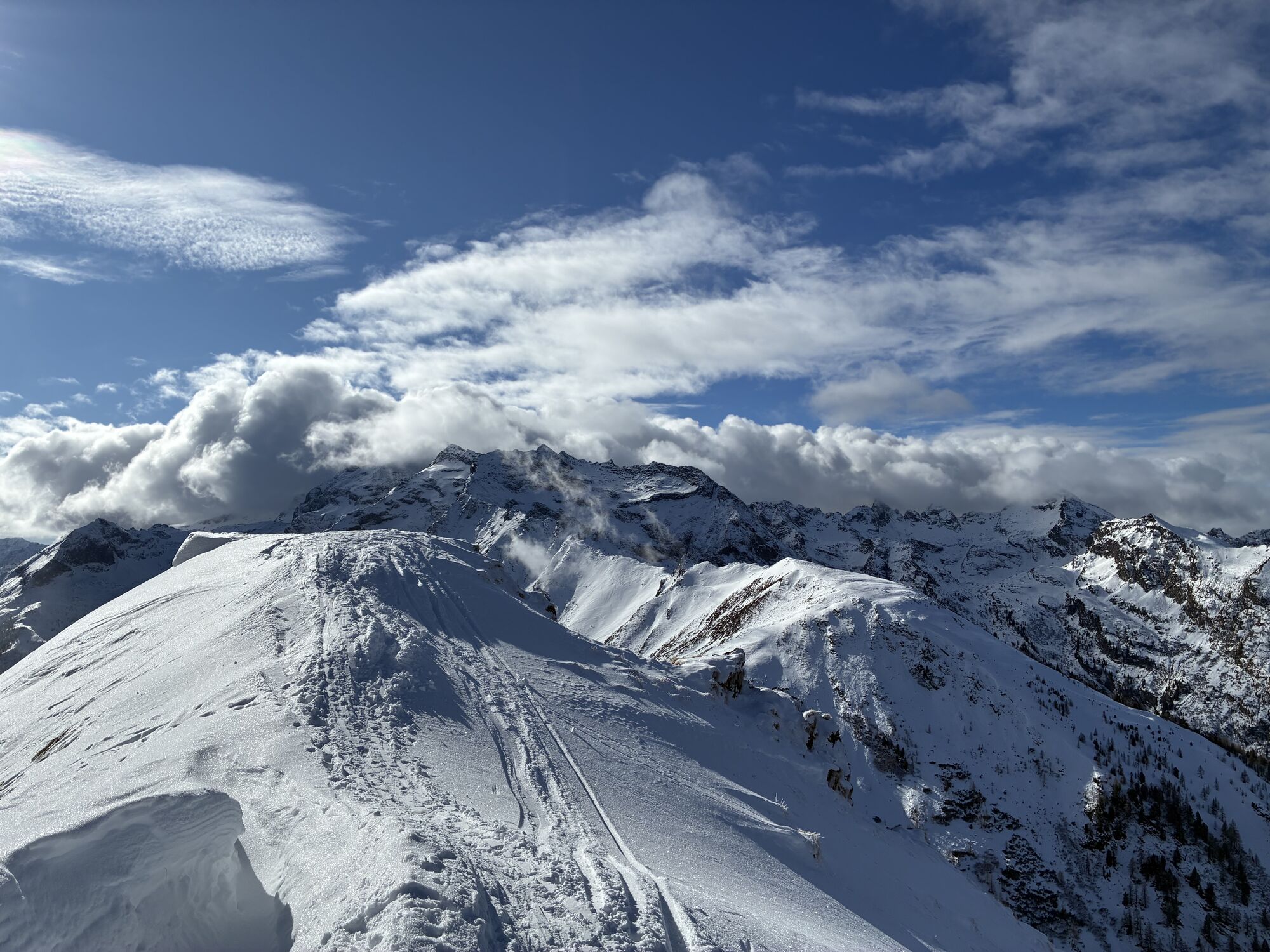
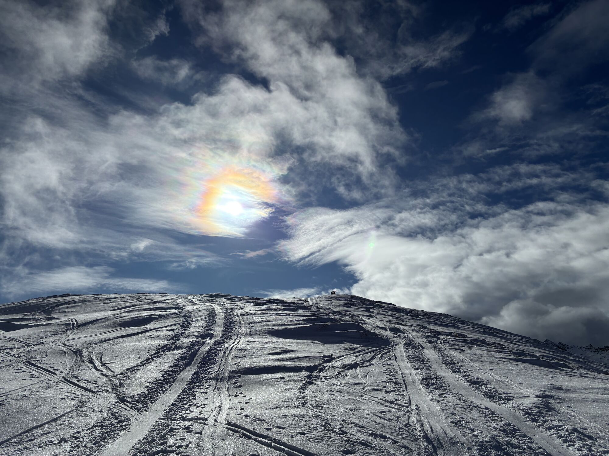
Vom Parkplatz am Galsterberg beim Bottinghaus 1600m wandern wir den Weg Nr. 783 zur oberen Galsterbergalm, wo sich Ziegen tummeln und ein Kinderspielplatz zum Rasten einlädt. Wir wandern den markierten Weg weiter zur Peschnitzzinkenhütte (1944m) und dann am Kamm entlang auf den Pleschnitzzinken, wo man eine herrliche Aussicht auf Grimming, Dachsteingebirge, aber auch in die Schladminger Tauern genießen kann. Als Rückweg wählen wir den Abstieg Richtung Kalteck ( Schilift) bis zum Sattel und dann den Almweg zurück zur Galsterbergalmhütte und weiter zum Parkplatz.


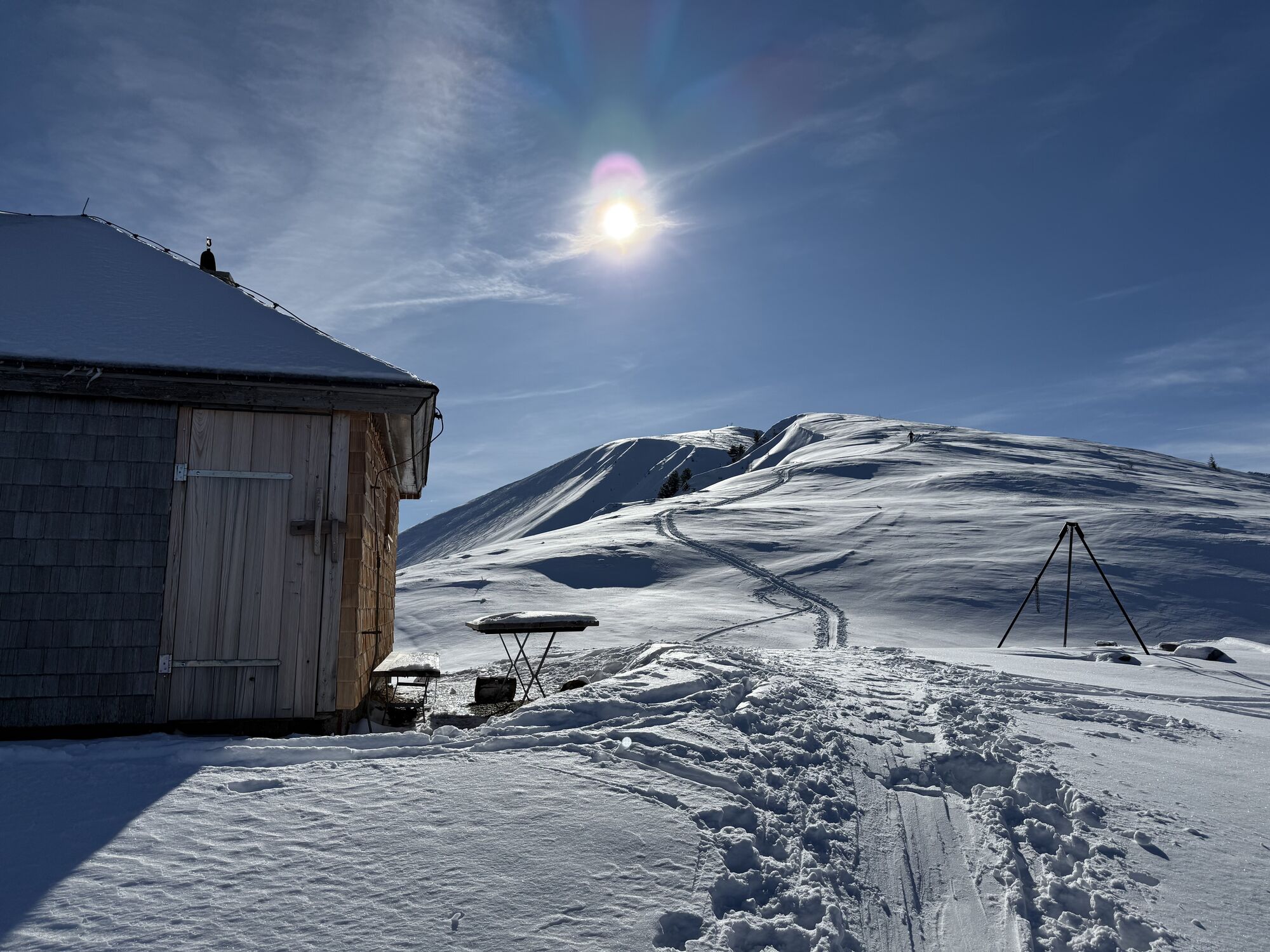
Bottinghaus, Galsterbergalmhütte
Österr. Karte Nr. 128,
Sí
von Schladming nach Pruggern und dort die Strasse auf die Galsterbergalm bis zum Parkplatz Bottinghaus
Actividades a lo largo del recorrido


Rutas populares en los alrededores
-
4,2
Drei-Seen-Wanderung (Steirischer Bodensee - Hüttensee - Obersee)
medioSenderismo 4,29 km -
4,7
Planai Runde | 304
medioMountainbike 34,1 km -
4,6
Preintalerhütte über den Alpinsteig Höll
medioSenderismo 13,8 km -
4,6
Stoderzinken Gipfelrundweg
medioSenderismo 4,94 km -
4,5
Krahbergzinken - Gipfelglück auf 2.134 m
medioSenderismo 5,92 km -
4,9
Das Trippel in der Silberkarklamm
medioVía ferrata 6,70 km -
4,7
Kammspitze (2.139m)
pesadoSenderismo 11,2 km -
3,5
Kleinsölk: Putzentalalm
luzSenderismo 11,7 km -
4,7
Königsetappe und Sinabell
medioSenderismo de montaña 16,8 km -
4,2
Hochwildstelle (2.747 m) - Aufstieg über Hans-Wödl-Hütte
pesadoSenderismo 16,4 km
Senderismo y rastreo


No se pierda las ofertas y la inspiración para sus próximas vacaciones
Su dirección de correo electrónico se ha añadido a la lista de correo.