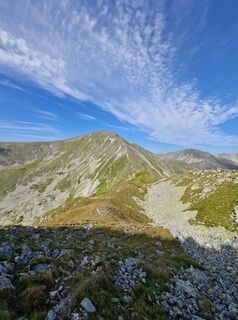
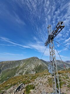
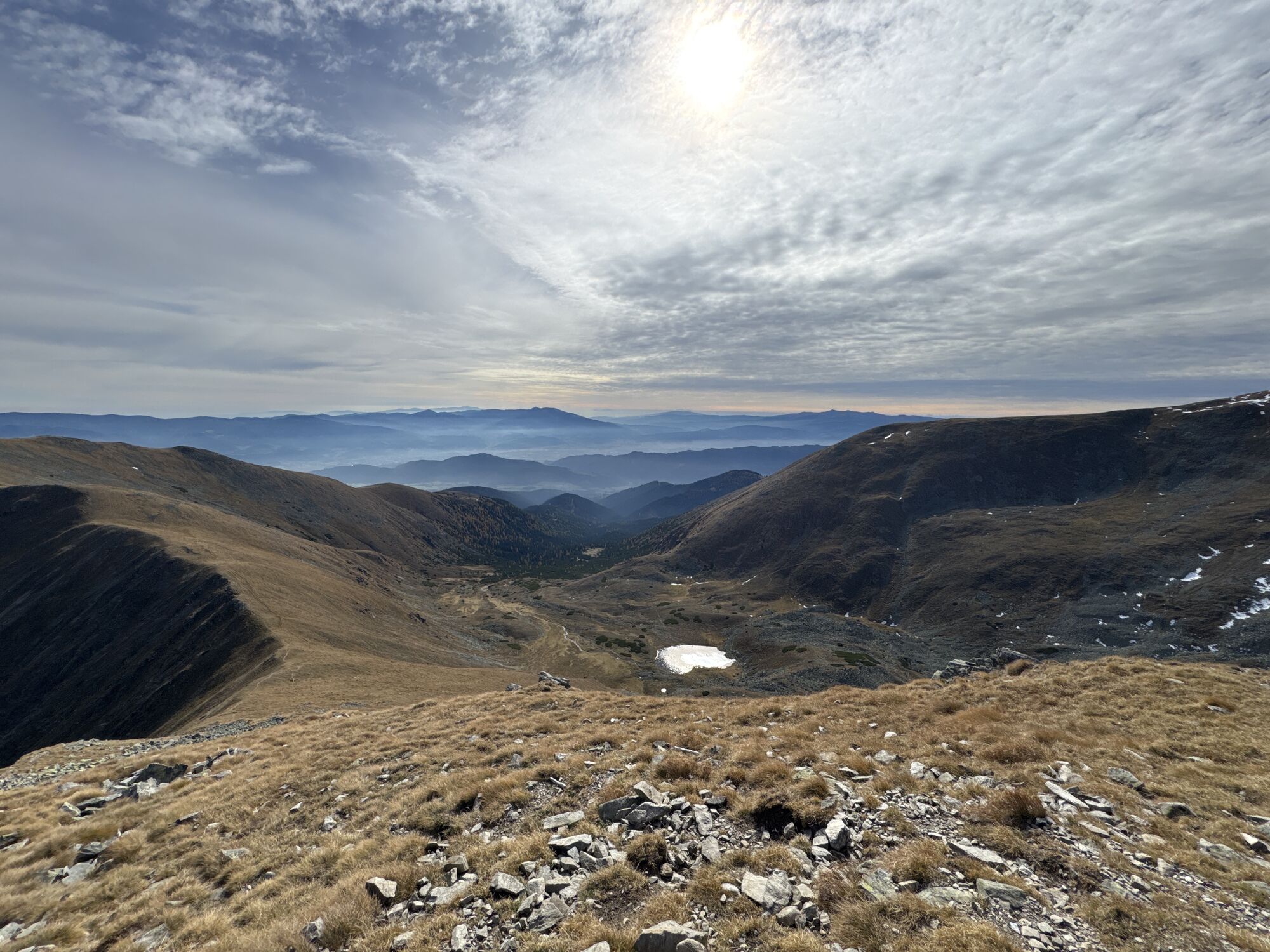
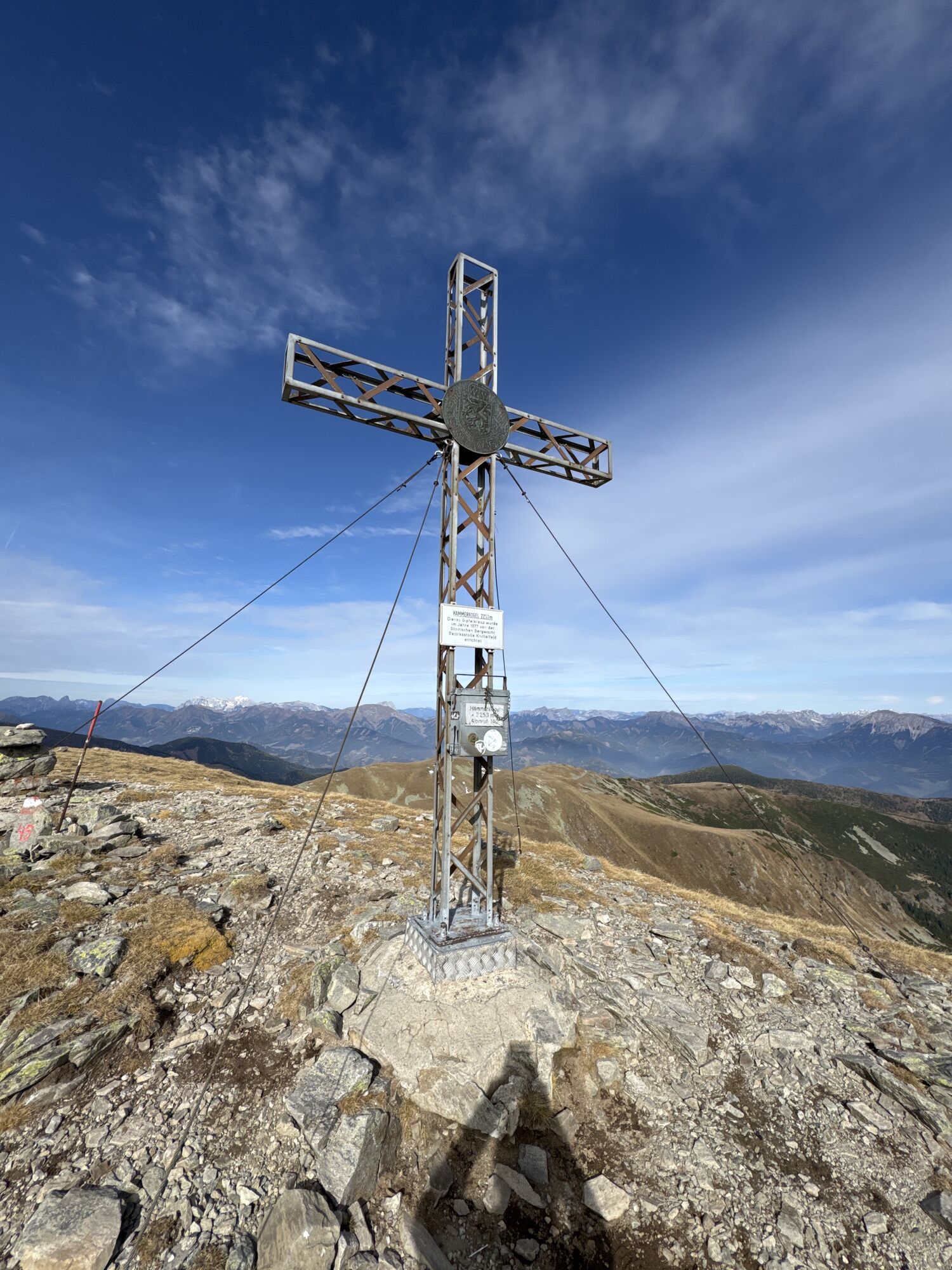
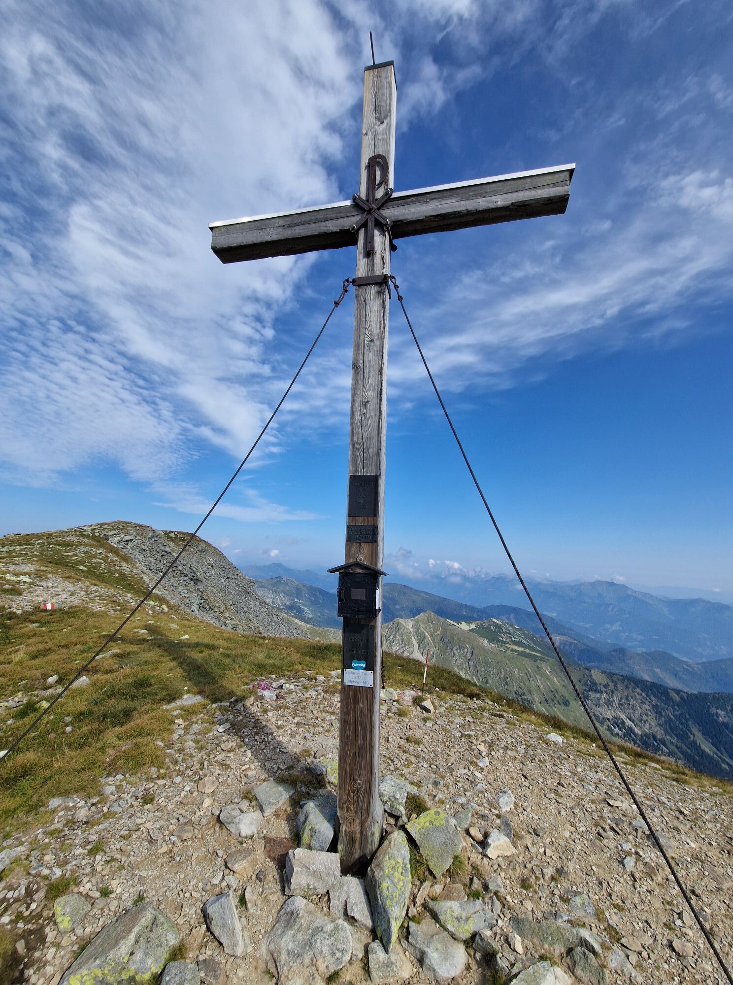
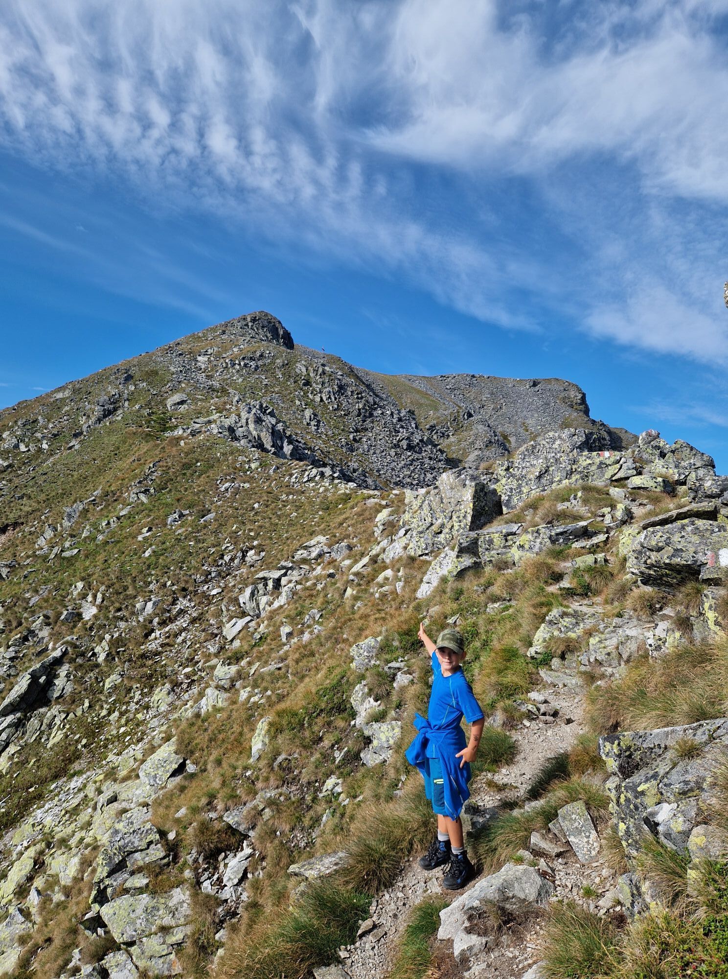
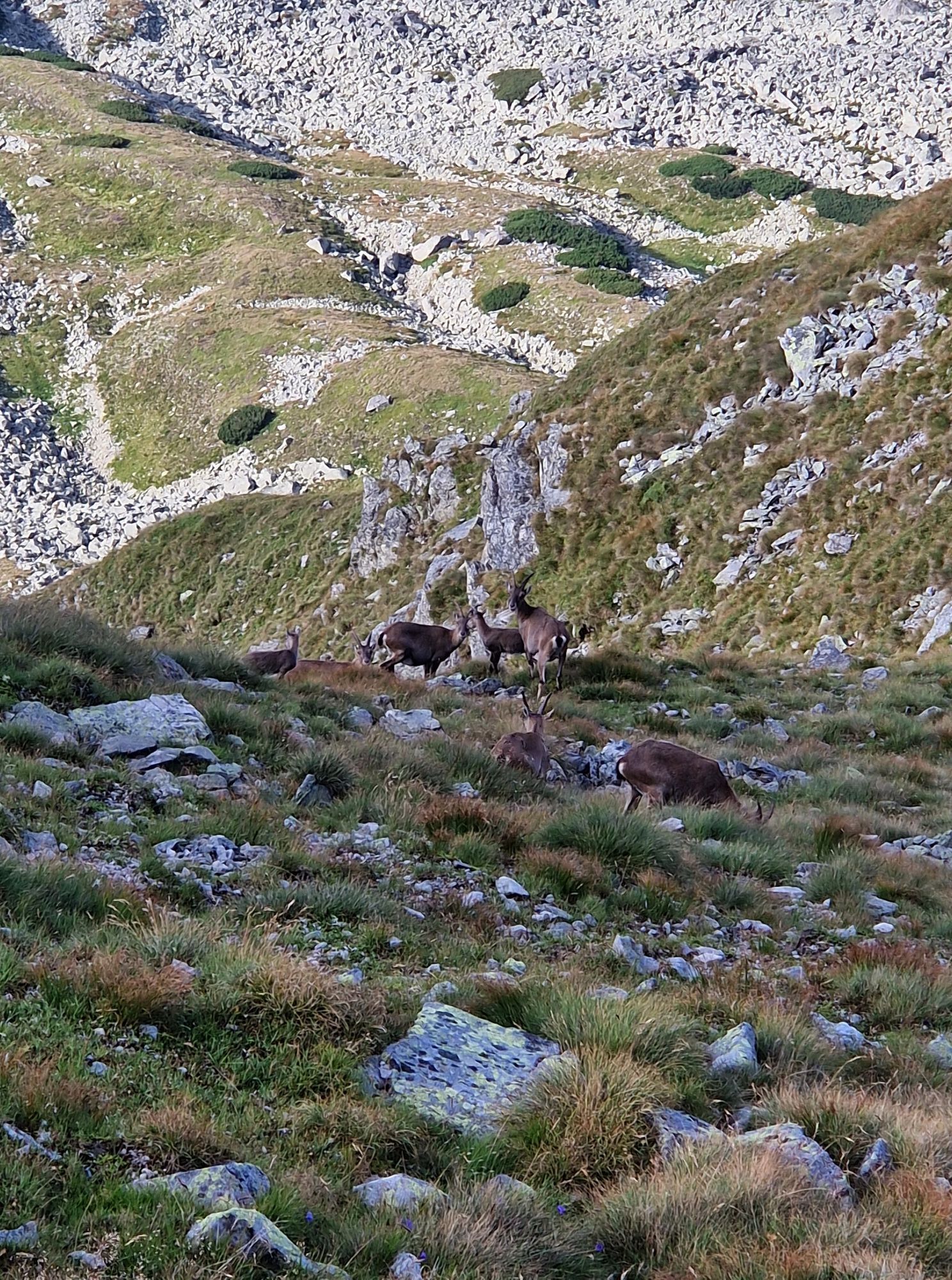
Seckauer Zinken 2.397m & Hämmerkogel 2.253m
medio
Navegue por
Navegue por
Consigue este tour en tu móvil
Seckauer Zinken 2.397m & Hämmerkogel 2.253m
medio
Senderismo
19,63
km
Escanee el código QR e inicie la navegación en la aplicación bergfex

Senderismo y rastreo


Seckauer Zinken 2.397m & Hämmerkogel 2.253m
medio
Distancia
19,63
km
Duración
06:15
h
Ascenso
1.383
m
Nivel del mar
943 -
2.360
m
Descarga de pistas
Seckauer Zinken 2.397m & Hämmerkogel 2.253m
medio
Senderismo
19,63
km
Fotos de nuestros usuarios
-

 © Manfred BeutlCreado el 20.10.2025
 -
 © Manfred BeutlCreado el 20.10.2025
 -
 © Doris FalkCreado el 17.06.2025
 -
 © Doris FalkCreado el 17.06.2025
 -
 © Doris FalkCreado el 17.06.2025
 -
 © Doris FalkCreado el 17.06.2025
 -
 © Doris FalkCreado el 17.06.2025
 -
 © Chris StoxreiterCreado el 16.08.2024
 -
 © Chris StoxreiterCreado el 16.08.2024
 -
 © Chris StoxreiterCreado el 16.08.2024
 -
 © Chris StoxreiterCreado el 16.08.2024
 -
 © Chris StoxreiterCreado el 16.08.2024
 -
 © Chris StoxreiterCreado el 16.08.2024
 -
 © Chris StoxreiterCreado el 16.08.2024
 -

 © Aga MCreado el 10.09.2022
 -
 © Aga MCreado el 10.09.2022
 -
 © Aga MCreado el 10.09.2022
 -

 © Markus F. SchafferCreado el 25.07.2022
 -
 © Raimund H.Creado el 16.05.2021
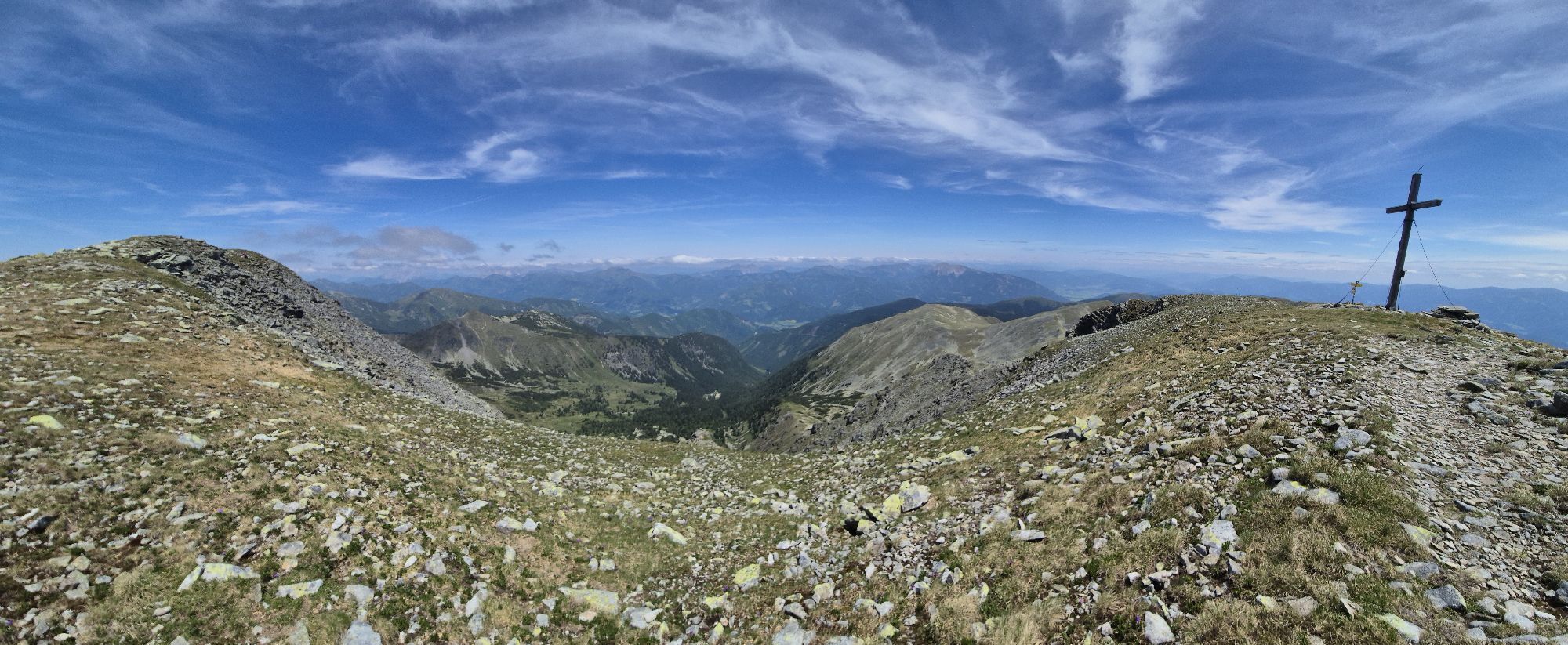
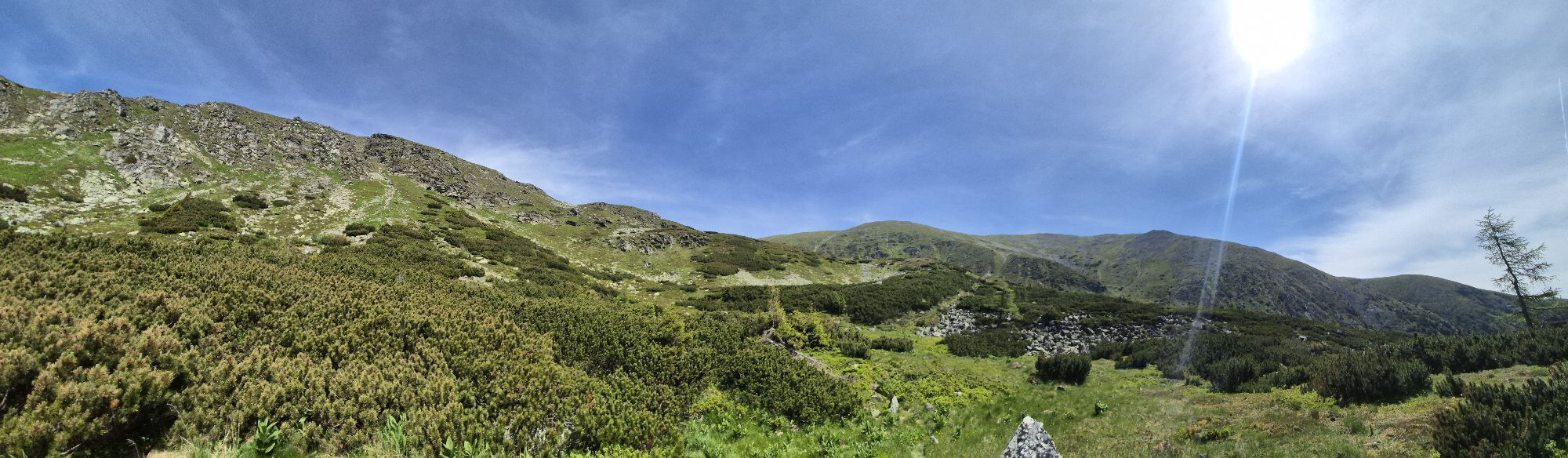


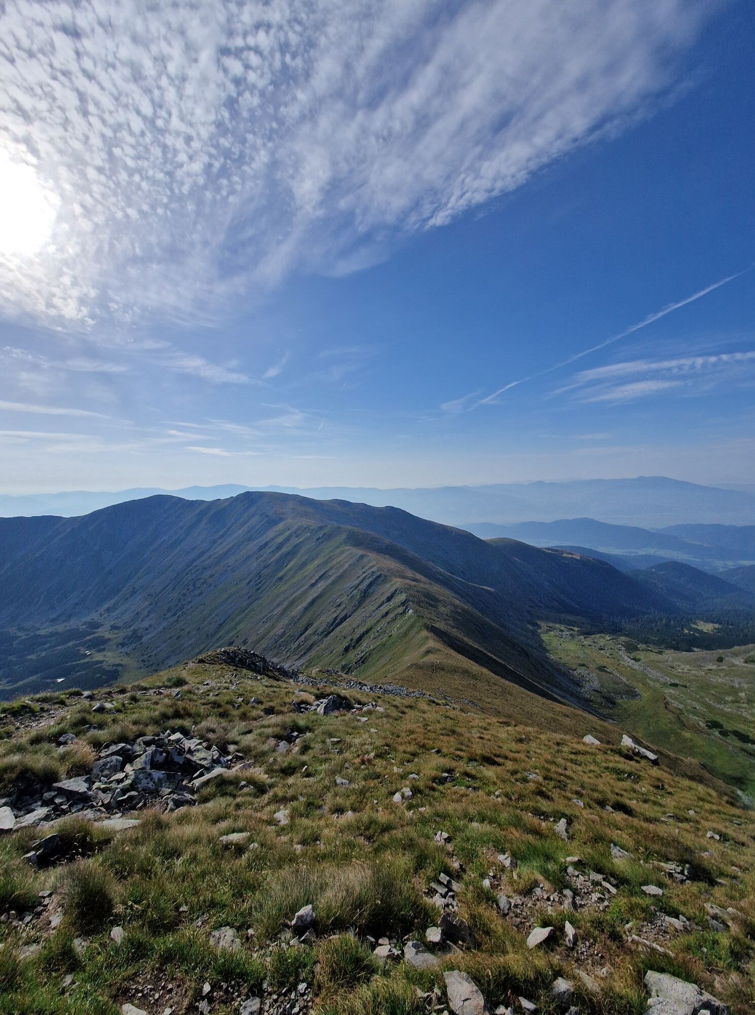
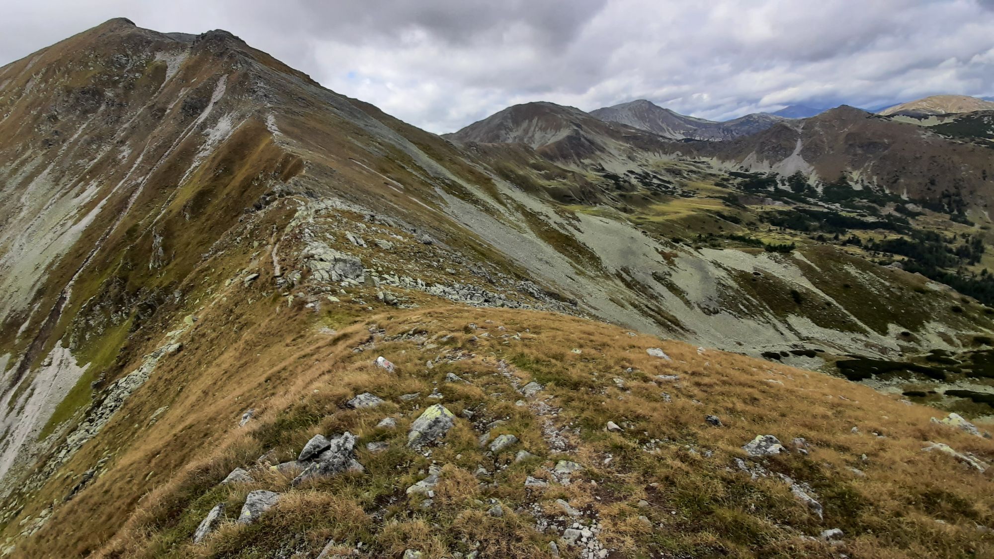
Datum: 15.11.2015 Route: Gh. Steinmühle - den Zinkenbach entlang bis Wegweiser auf SH 1394m - Goldlacke - Hämmerkogel (2253m) - Seckauer Zinken (2397m) - Abstieg über Südrinne bis Zinkenbach - Wegweiser...
Descripción de la
Datum: 15.11.2015
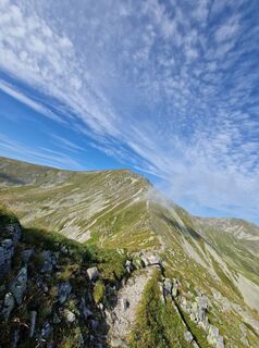
Route: Gh. Steinmühle - den Zinkenbach entlang bis Wegweiser auf SH 1394m - Goldlacke - Hämmerkogel (2253m) - Seckauer Zinken (2397m) - Abstieg über Südrinne bis Zinkenbach - Wegweiser auf SH 1394m - Gh. Steinmühle
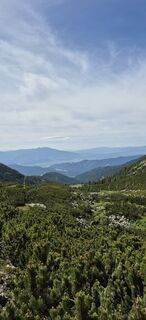
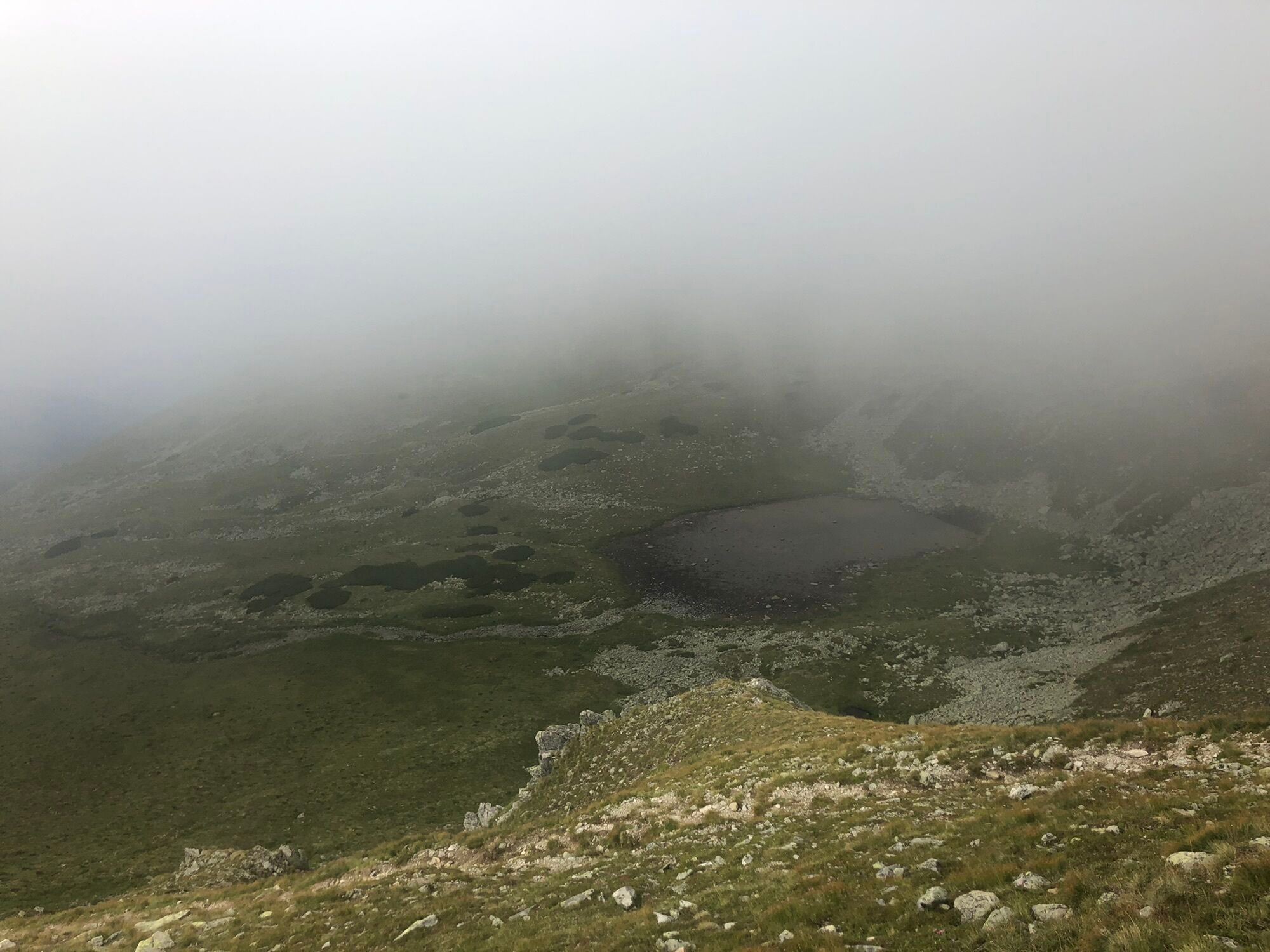
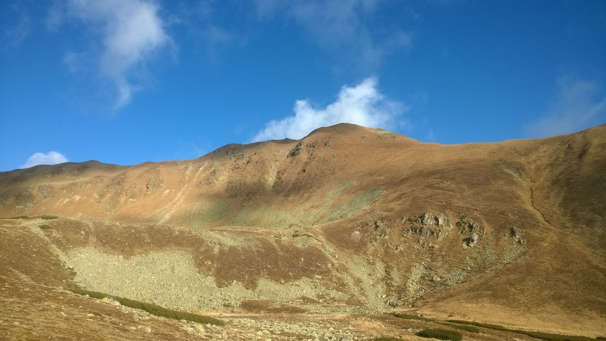
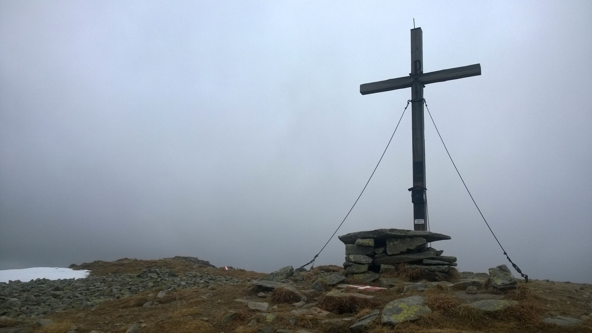
Gegebenheiten: etwas Schnee nur am Gipfel des Seckauer Zinkens, eiskalter Graupelschauer kurzzeitig am Gipfel, ansonsten klares Herbstwetter.
Ruta
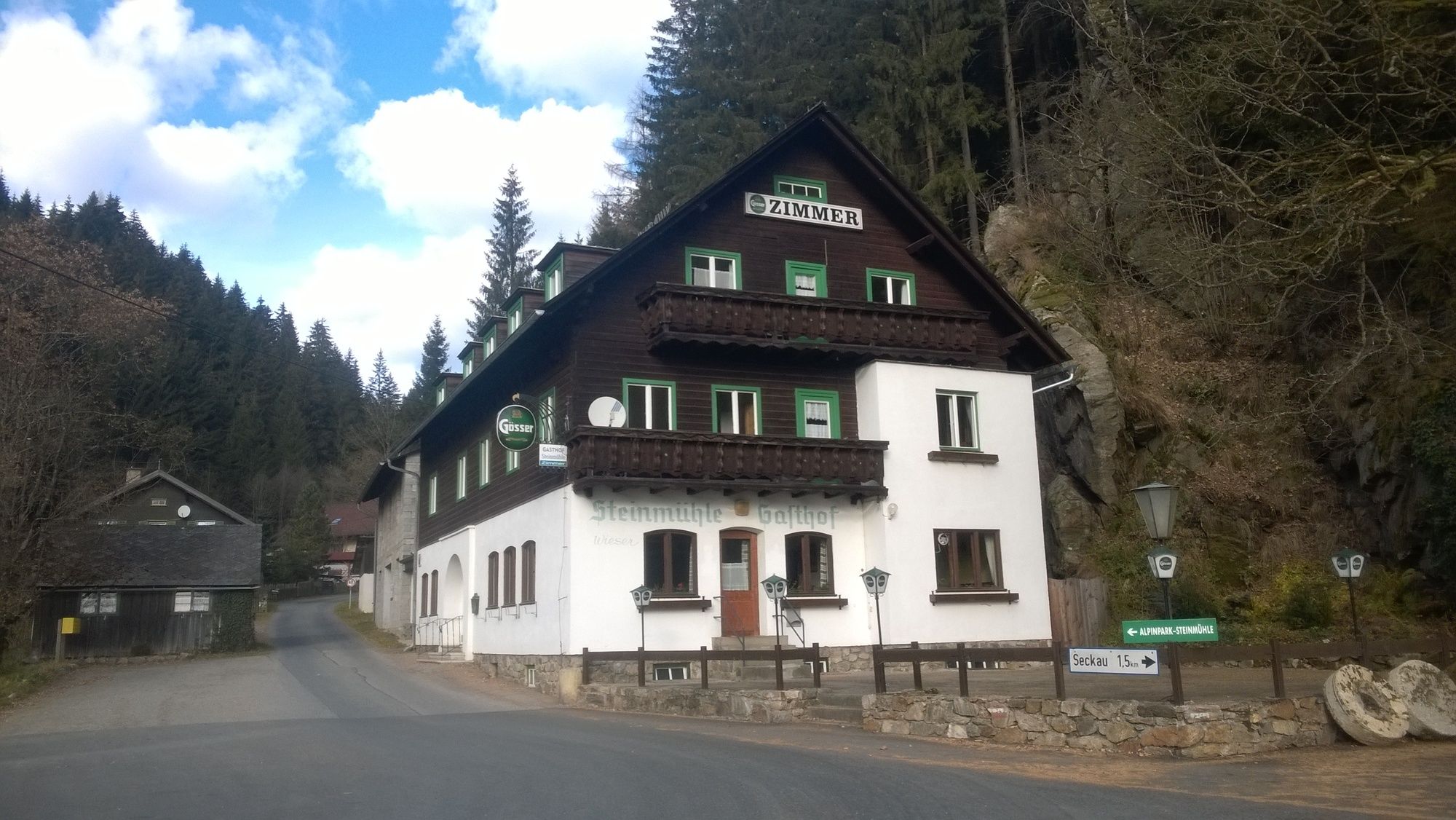
Gasthof Steinmühle
(930 m)
Restaurante
0,0 km
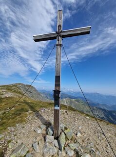
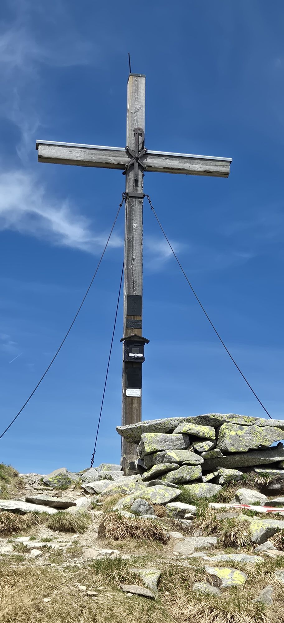
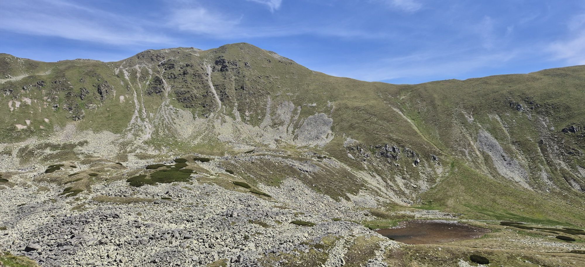
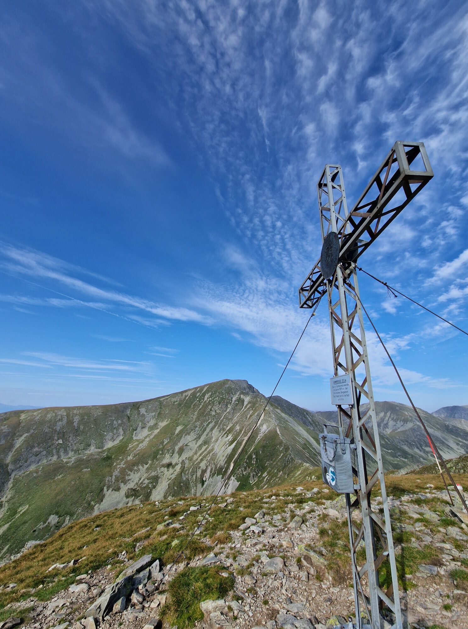
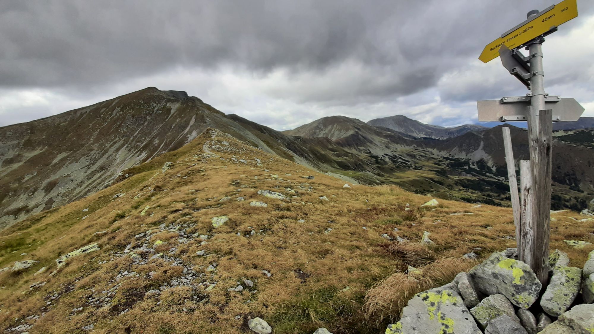
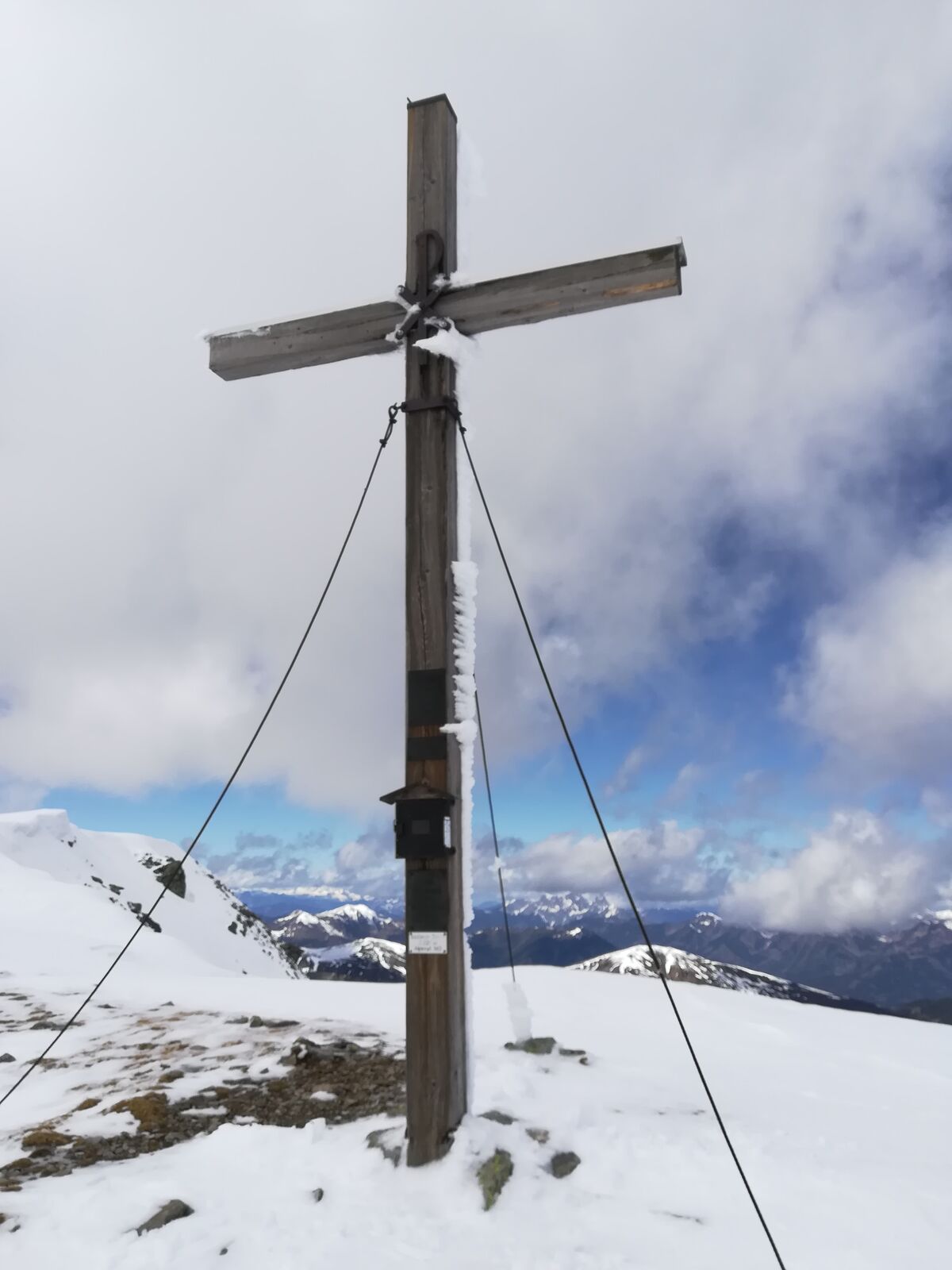
Hämmerkogel
(2.253 m)
Cumbre
8,6 km
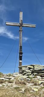
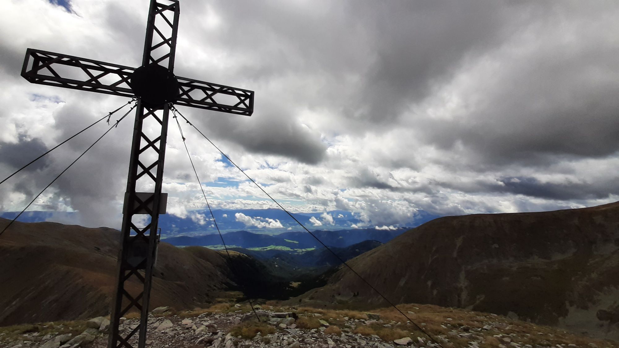
Seckauer Zinken
(2.397 m)
Cumbre
10,2 km
Gasthof Steinmühle
(930 m)
Restaurante
19,5 km
Ruta
Seckauer Zinken 2.397m & Hämmerkogel 2.253m
medio
Senderismo
19,63
km
Gasthof Steinmühle
(930 m)
Restaurante
0,0 km
Hämmerkogel
(2.253 m)
Cumbre
8,6 km
Seckauer Zinken
(2.397 m)
Cumbre
10,2 km
Gasthof Steinmühle
(930 m)
Restaurante
19,5 km
Compartir gira
Seckauer Zinken 2.397m & Hämmerkogel 2.253m
medio
Senderismo
19,63
km
Error
Se ha producido un error. Por favor, inténtelo de nuevo.


Valoraciones
5
(0)
4
(1)
3
(0)
2
(0)
1
(0)
Rutas populares en los alrededores
-
4,7
"Pletzen 2345m" Der eindrucksvolle Aussichtsgipfel in den Seckauer Tauern
luzRaquetas de nieve 15,8 km -
4,0
Tremmelberg "Turm im Gebirge" über Vorder-Tremmel
luzSenderismo 9,37 km -
4,9
Hochreichhart über Schmähhausrücken
pesadoSenderismo 9,50 km -
4,4
Hochalm / Maria Schnee mit Hund
medioSenderismo 11,0 km -
3,7
Hochalm - Maria Schnee von Seckau
medioSenderismo 17,7 km -
4,6
Hochreichhart-Hirschkarlgrat-Geierhaupt
pesadoSenderismo 16,2 km -
4,4
Seckauer Zinken von der Bodenhütte aus
pesadoSenderismo 12,1 km -
4,9
Vom Rosenkogel zum Amachkogel
medioSenderismo 20,7 km -
4,1
Ruinen-Rundwanderweg
luzSenderismo 7,83 km -
3,5
Geierhaupt
medioSenderismo 11,5 km

Senderismo y rastreo

Más de 550.000 sugerencias de excursiones, mapas detallados y un intuitivo planificador de rutas hacen de esta aplicación una herramienta imprescindible para todos los amantes de la naturaleza.

No se pierda las ofertas y la inspiración para sus próximas vacaciones
Suscribirse al boletín de noticias
Error
Se ha producido un error. Por favor, inténtelo de nuevo.
Gracias por inscribirse
Su dirección de correo electrónico se ha añadido a la lista de correo.
Viajes por Europa
Austria
Suiza
Alemania
Italia
Eslovenia
Francia
Países Bajos
Belgium
Polonia
Liechtenstein
República Checa
Slovakia
España
Croacia
Bosnia y Herzegovina
Luxemburgo
Andorra
Portugal
Iceland
United Kingdom
Ireland
Greece
Albania
North Macedonia
Malta
Norway
Montenegro
Moldova
Kosovo
Hungary
San Marino
Romania
Estonia
Latvia
Belarus
Cyprus
Lithuania
Serbia
Bulgaria
Monaco
Denmark
Sweden
Finland