






Stage 08 Luchs Trail Mooslandl - Palfau
Nivel de dificultad: T3
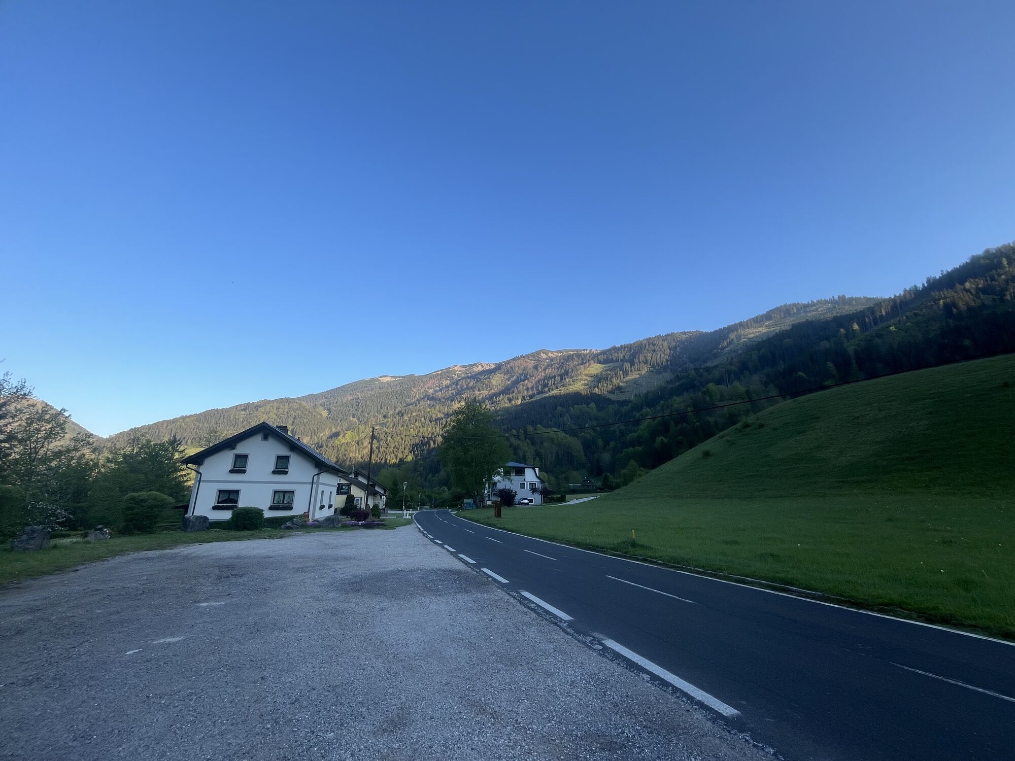
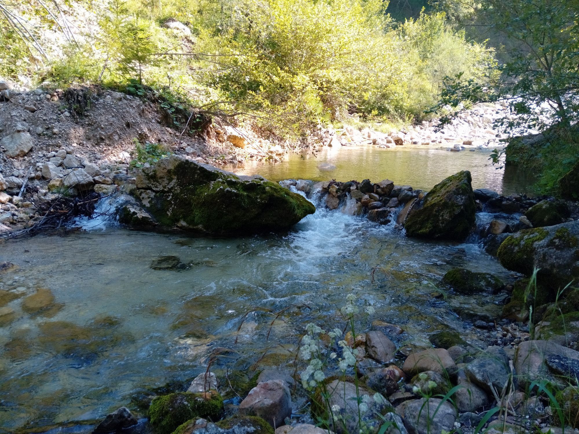
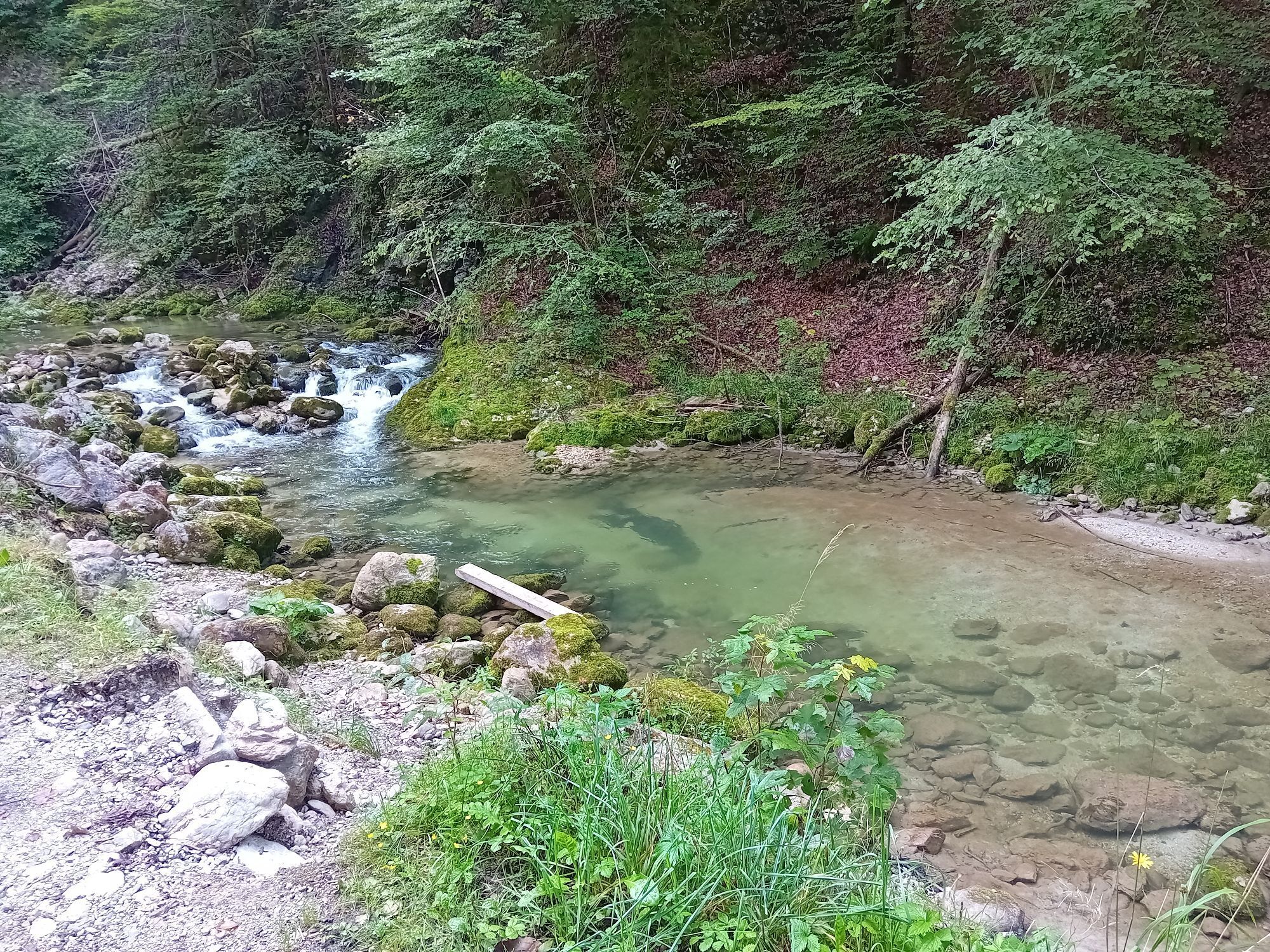
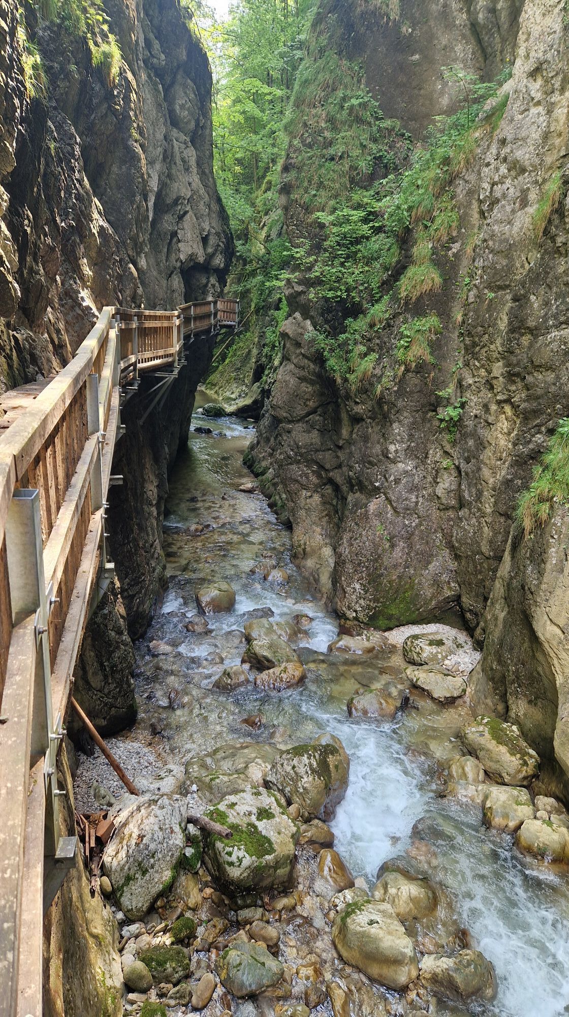
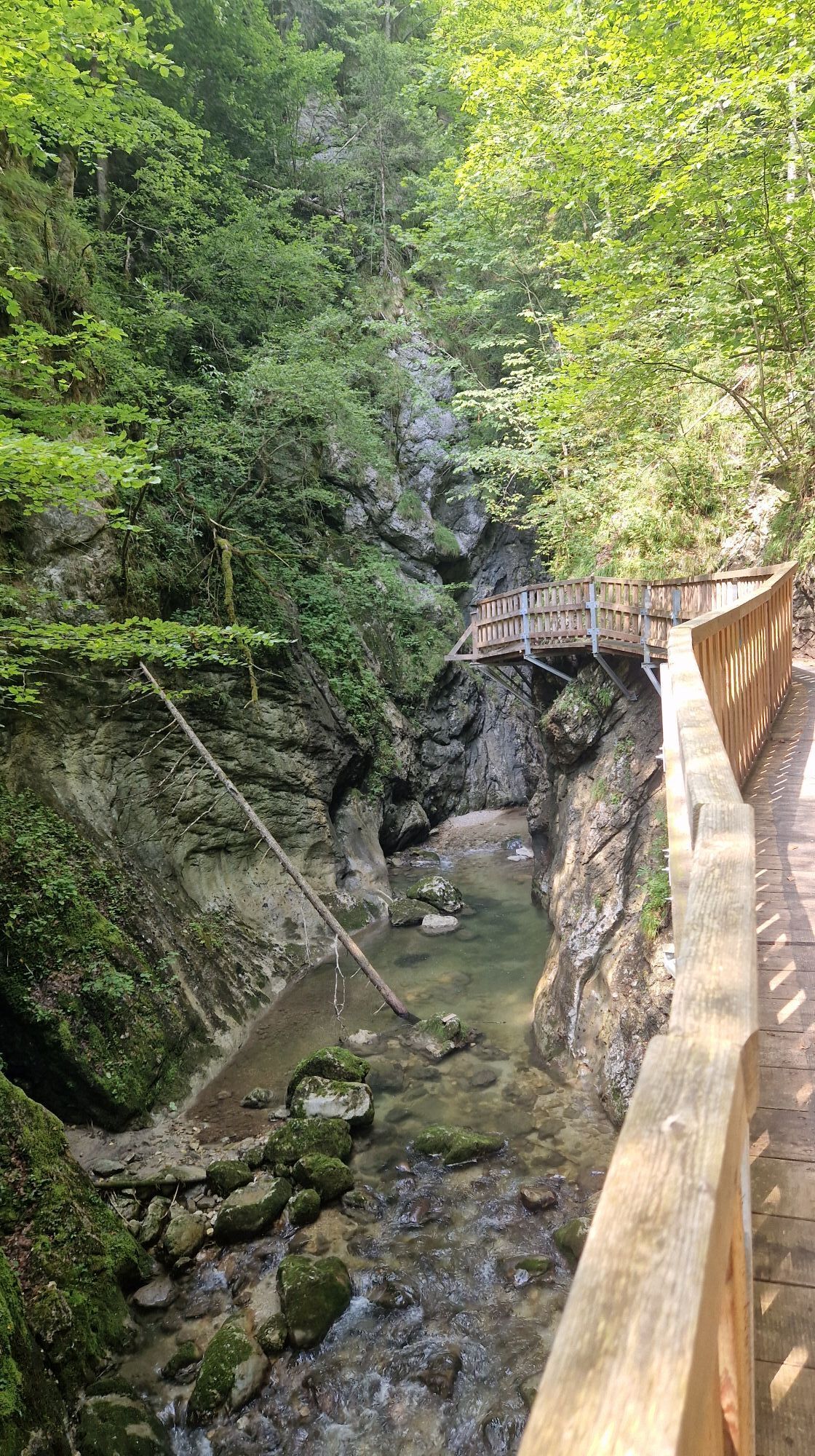

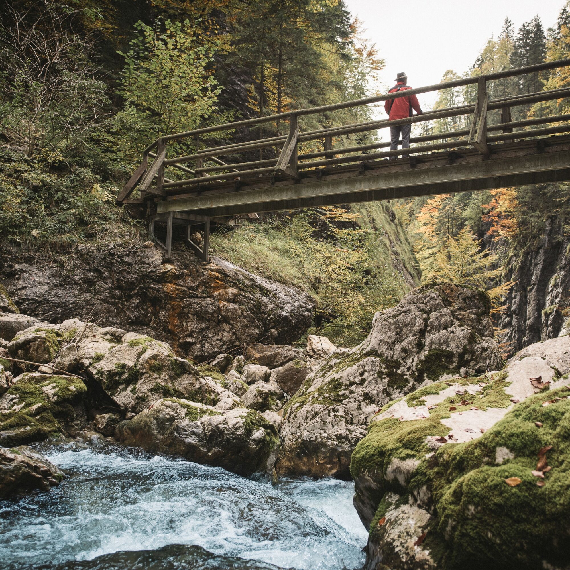
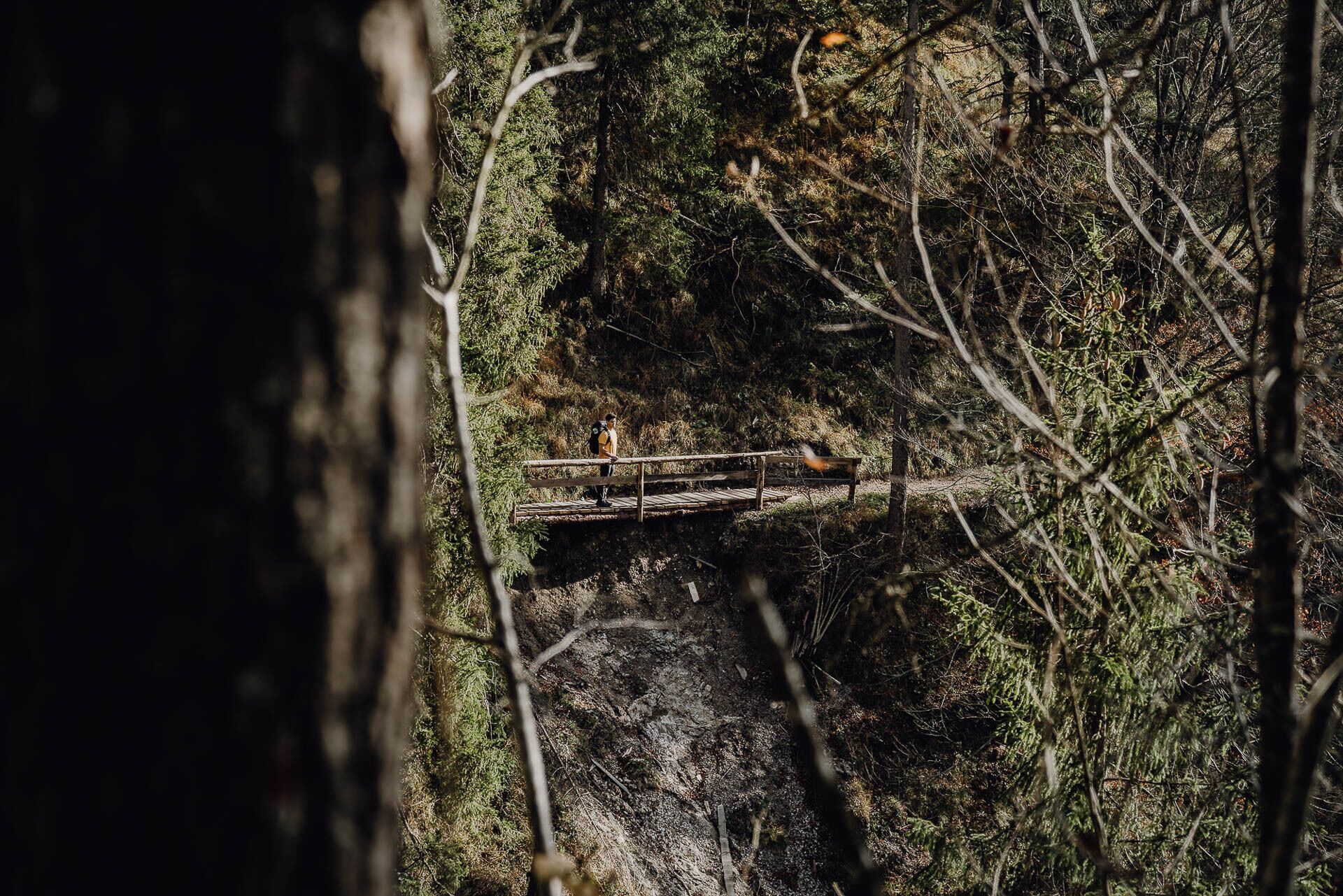
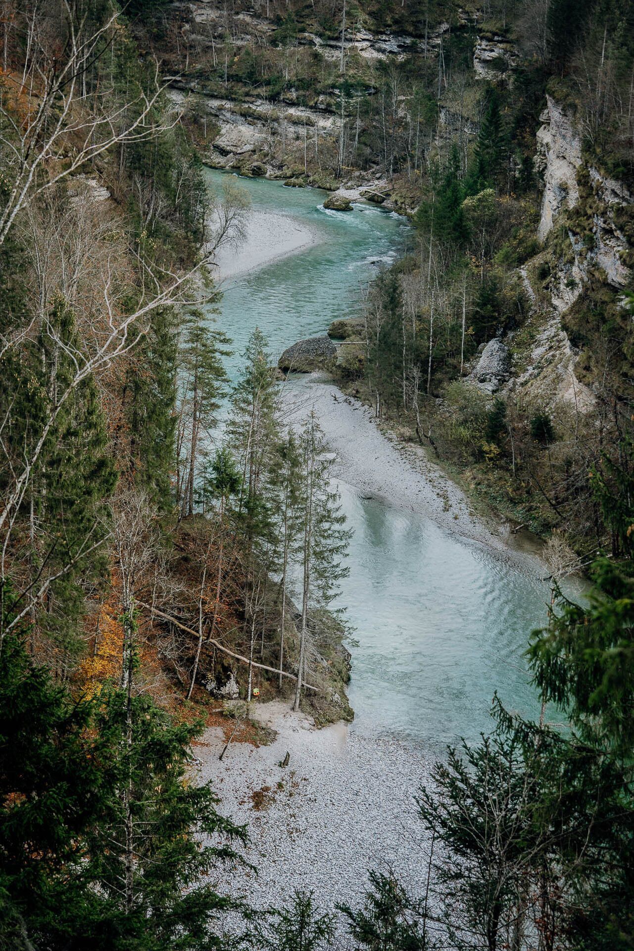
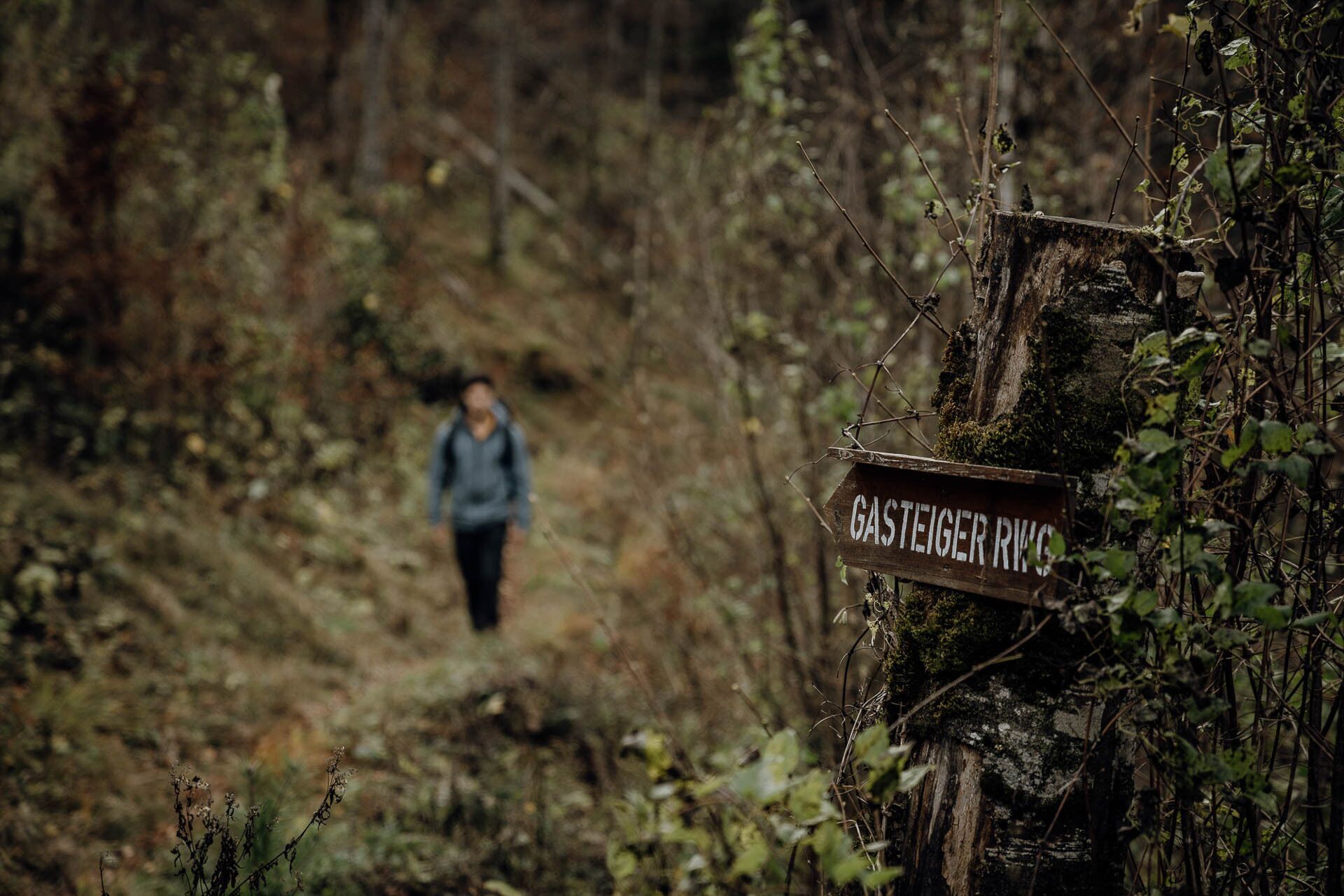
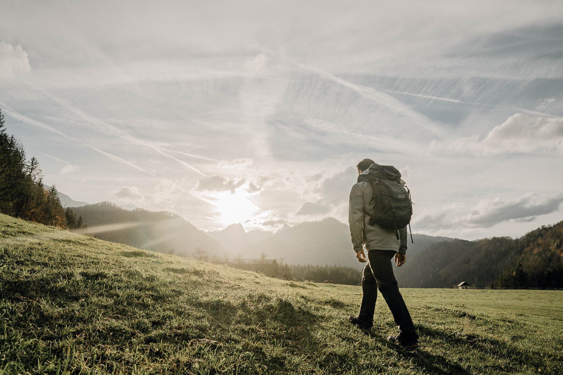
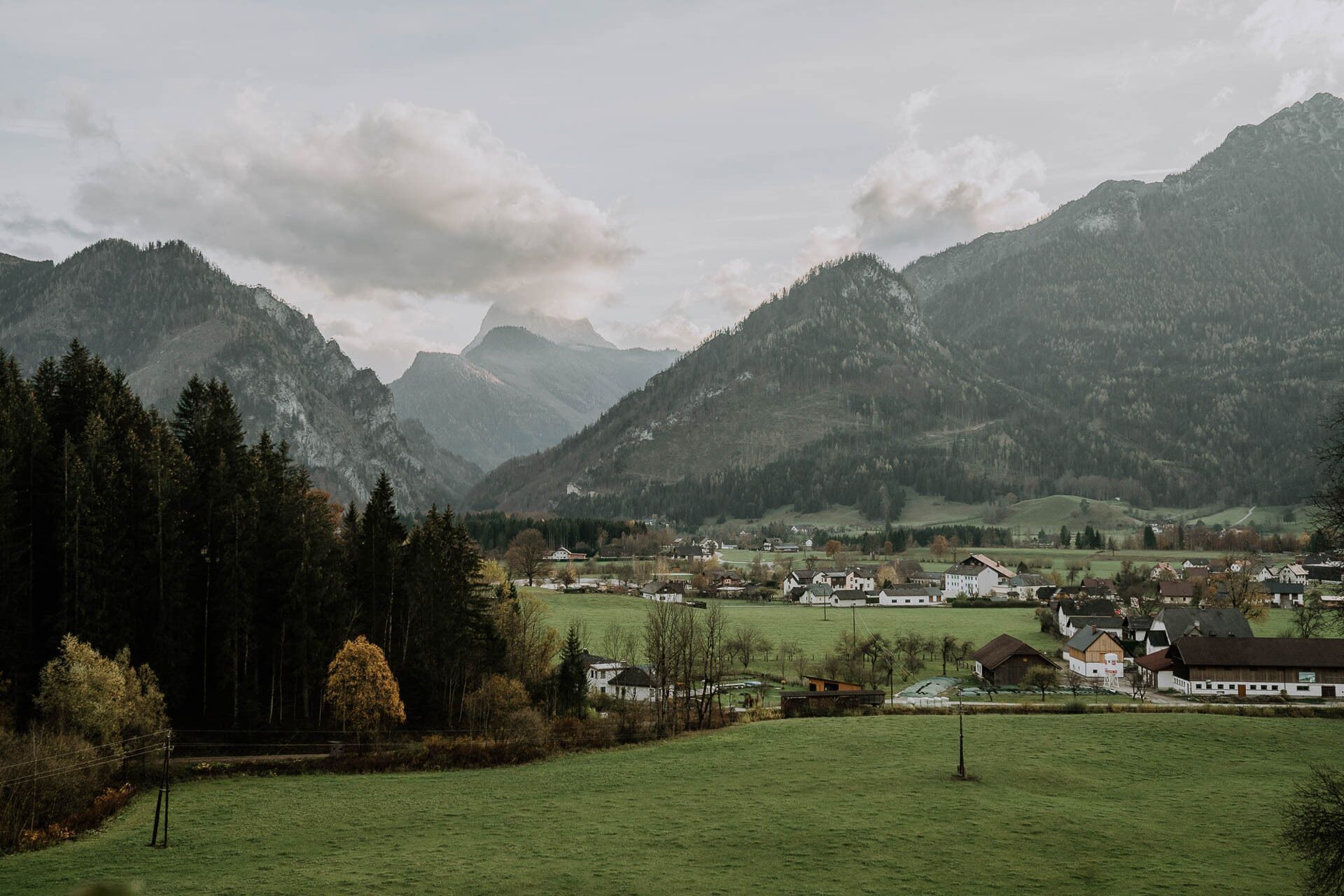

We follow the signs "Gasteiger Rundwanderweg" until we reach the main road on a saddle (the Radstatthöhe). We cross the road and follow the hiking trail across the meadow on the opposite side until we reach a forest road. There we turn right and follow the forest road (not the hiking trail to the right) until the trail branches off to the left into a steep, overgrown forest path. At the first houses, we stay close to the stream and follow it (some paths are on the left bank, some on the right) until it flows into the Gamsbach.
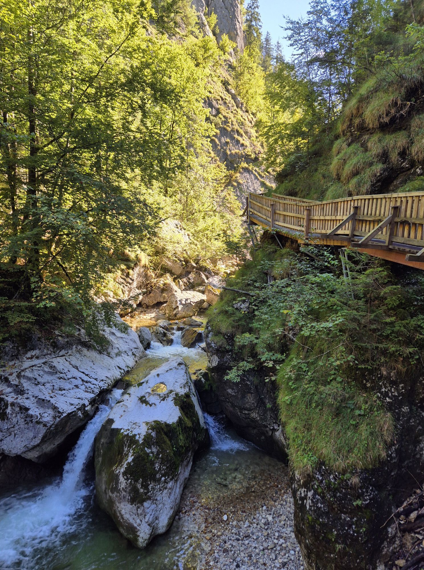
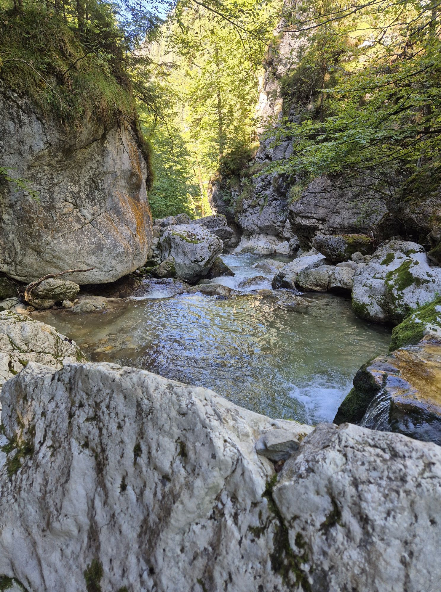
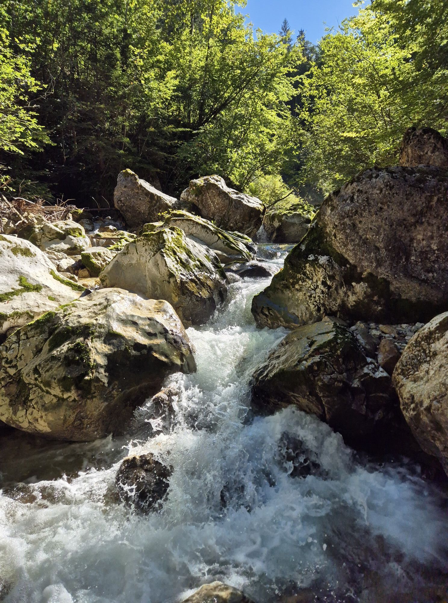
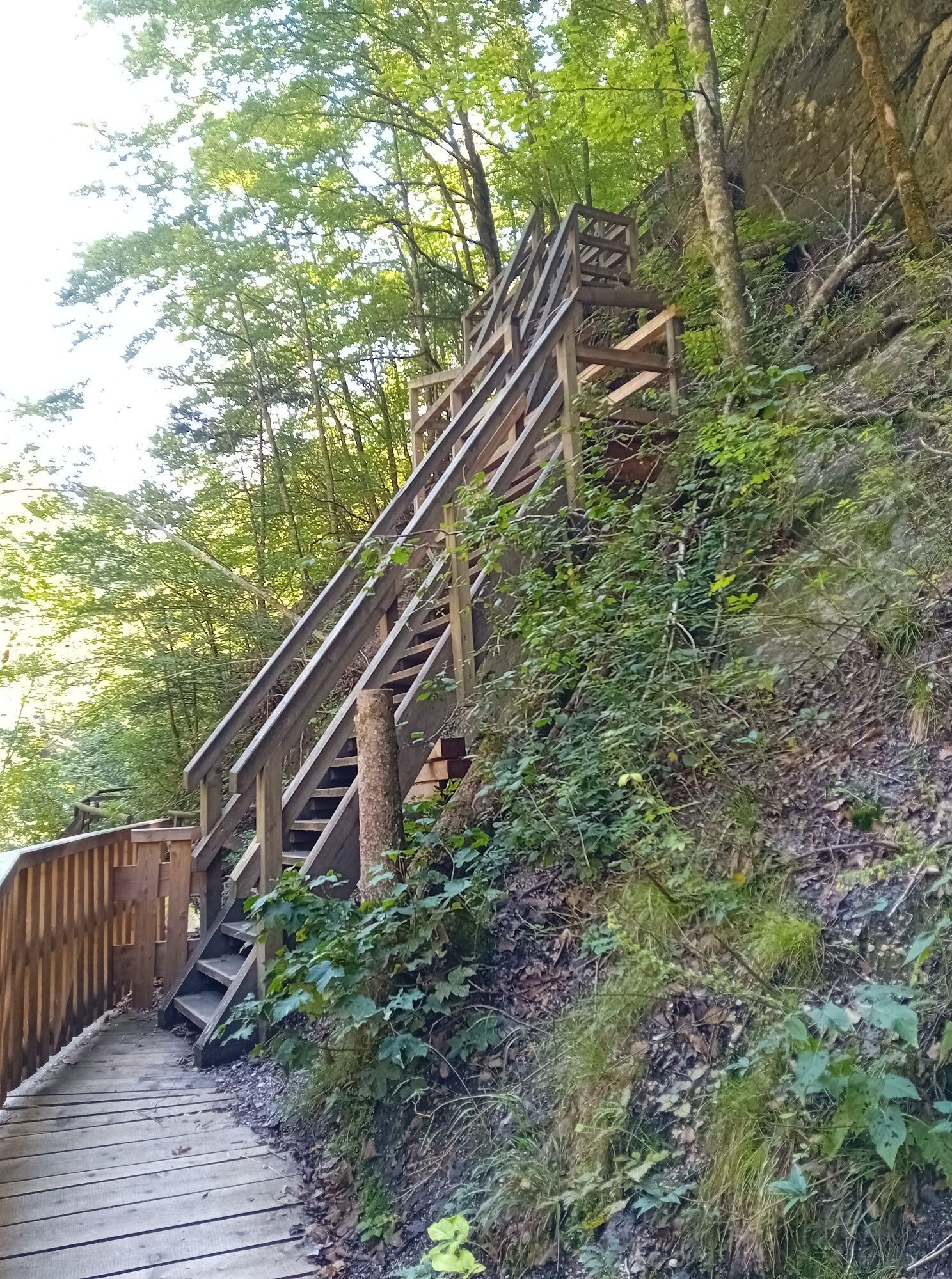
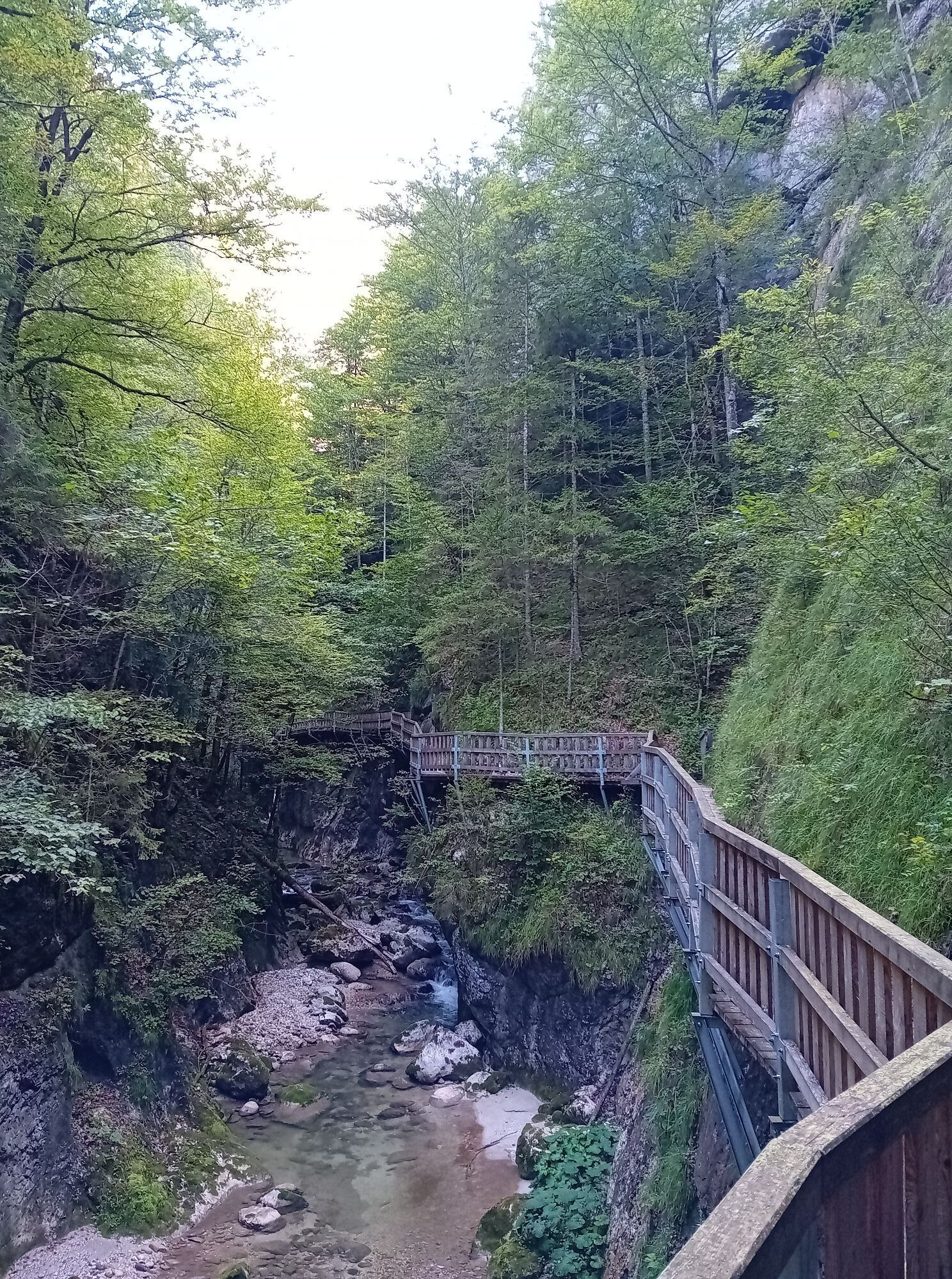
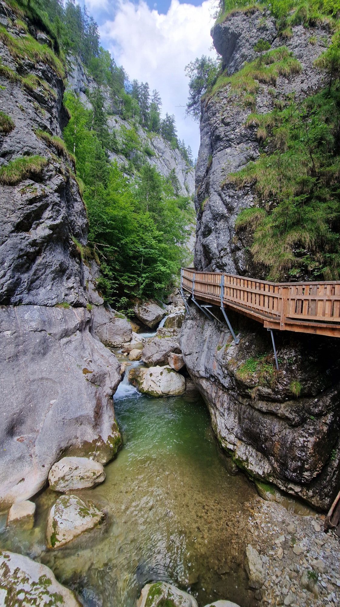
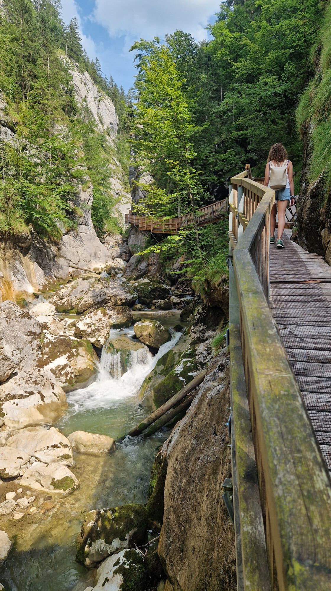
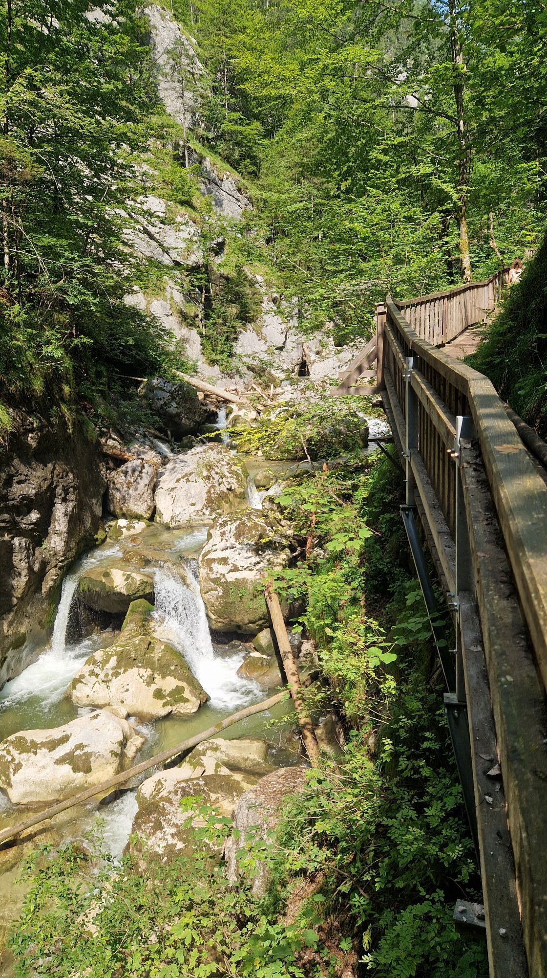
There we turn right along the asphalt road, past the Haflingerhof Gsellmann farm. Then we turn left again over a bridge and head towards the GEO workshop. We soon reach the entrance to the Nothklamm gorge (entrance fee payable). The Nothklamm has been a natural monument since 1970. The Nothklamm gorge, cut deep into the hard limestone, is probably one of the most impressive natural spectacles in the Styrian Limestone Alps. We hike comfortably along the Gamsbach stream to the wooden footbridge of the gorge trail. The 600-metre-long footbridge winds its way slightly uphill and then downhill again through the wild and romantic gorge. The only stone ball mill in Styria is a surprise at the exit. If you still have enough time, you can also visit the Kraus Cave, which is located nearby. It is the largest gypsum crystal cave in the German-speaking region.
At the end of the Nothklamm gorge, we do not take the circular hiking trail back to the entrance, but continue straight ahead and follow the signs to the Reiteralm. We first hike through the scattered settlement of Krautgraben, then turn left onto the access road to the Kohlhuber farm, which we follow until we reach a meadow with the farmstead. The hiking trail continues to the Reiteralm, which is located on a saddle between the Akogel and Grantenkogel. At the end of the alp we reach a forest road and follow this through Au- and Püllgraben to the main road near Palfau. We walk along this road for about 700m to the right (east) and reach Palfau.
You should also be well equipped for changeable weather.
Packing your rucksack correctly makes things a lot easier: pack heavy items first. The water bottle should always be within easy reach in a side pocket. All items that are often needed, such as sunglasses, smartphone or hiking map, should be on top.
Emergency call mountain rescue: 140
T3
Trail Angels GmbH
Obervellach 15, 9821 Obervellach
Tel.: +43 47 82 93 093
bookyourtrail.com
Info point Lower Austria:
Mostviertel Tourismus
Töpperschloss Neubruck
Neubruck 2/10, 3270 Scheibbs
Tel.: +43 (0)7482/204 44
info@mostviertel.at
Info point Upper Austria:
Alpenland Tourismus GmbH
Bahnhofstraße 2, 4580 Windischgarsten
Info office: Reichraming
Tel.: +43 7252 53229-40
reichraming@360alpenland.com
alpenland@360.com
Information office Styria:
Tourismusverband Gesäuse
Hauptstraße 35, 8911 Admont, Austria
Tel. +43 (0) 3613 21160 10
info@gesaeuse.at
www.gesaeuse.at
It is recommended to contact the Trail Info & Booking Center before booking.
Offers at: bookyourtrail.com
Rutas populares en los alrededores
-
4,2
Gstatterboden: Tamischbachturm
Senderismo 8,23 km -
4,9
Ennstalerhütte Normalweg
medioSenderismo 14,9 km -
4,6
Über den Wasserfallweg auf die Planspitze und über die Hesshütte hinunter nach Johnsbach
pesadoSendero temático 14,1 km -
4,4
Rauchbodenweg
luzSendero temático 7,67 km -
4,8
Kurzeck- Siebenhütten- Turnhöhe- Kitzhütte Göstling an der Ybbs, Österreich
luzSenderismo 12,8 km -
4,8
Kaiser Franz Joseph Klettersteig
pesadoVía ferrata 5,90 km -
4,8
Tamischbachturm und Ennstaler Hütte von Großreifling
medioSenderismo 12,5 km -
4,7
Lugauer 2217 übern Gspitzten Stein Rundwanderweg, Steiermark/Österreich
pesadoSenderismo 14,1 km -
4,7
Eisenerzer Klettersteig, Pfaffenstein
medioVía ferrata 8 km -
4,6
Kaiserschild
medioSenderismo de montaña 8,13 km
Senderismo y rastreo


No se pierda las ofertas y la inspiración para sus próximas vacaciones
Su dirección de correo electrónico se ha añadido a la lista de correo.





