


Frauenalpe
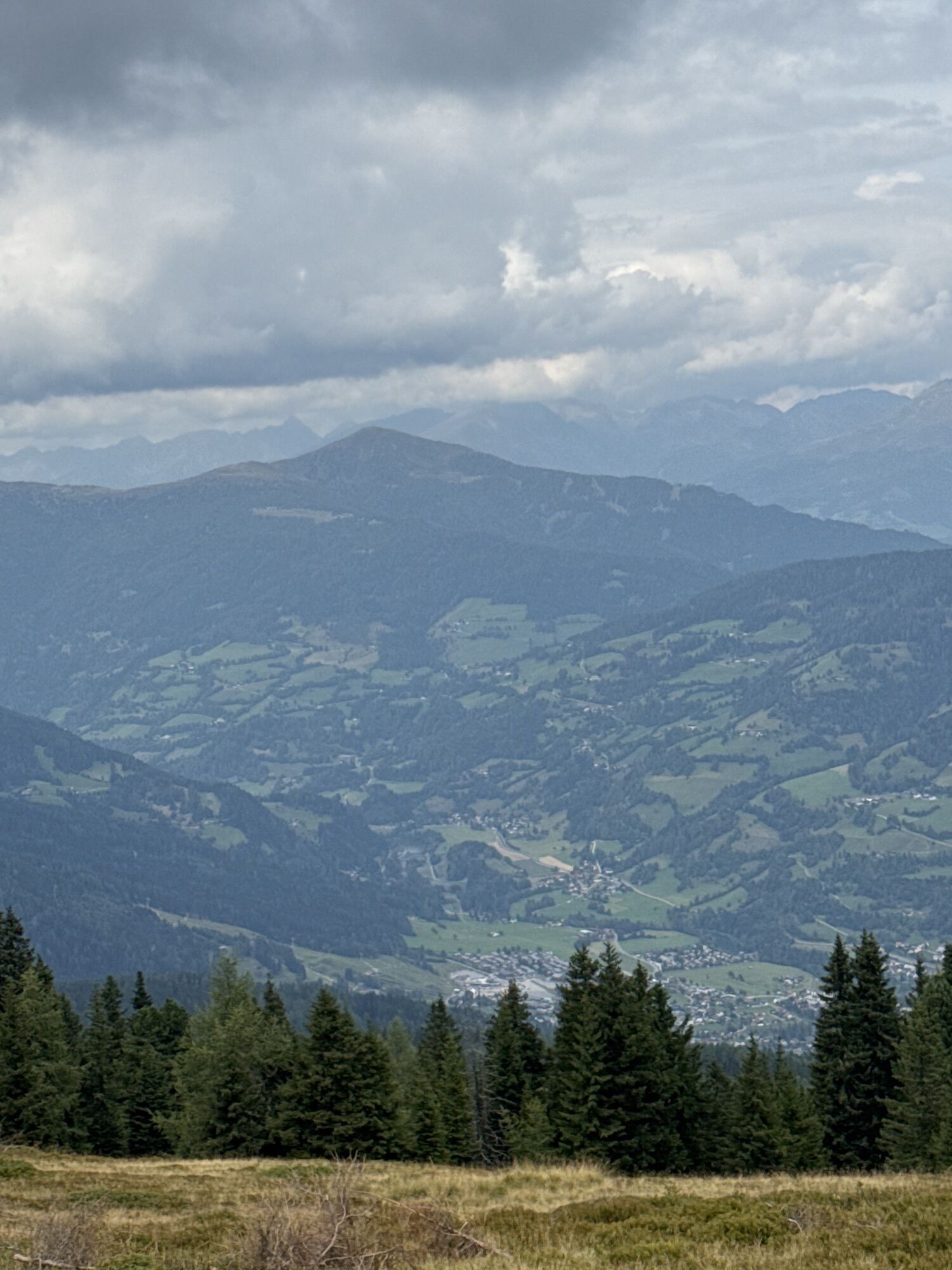
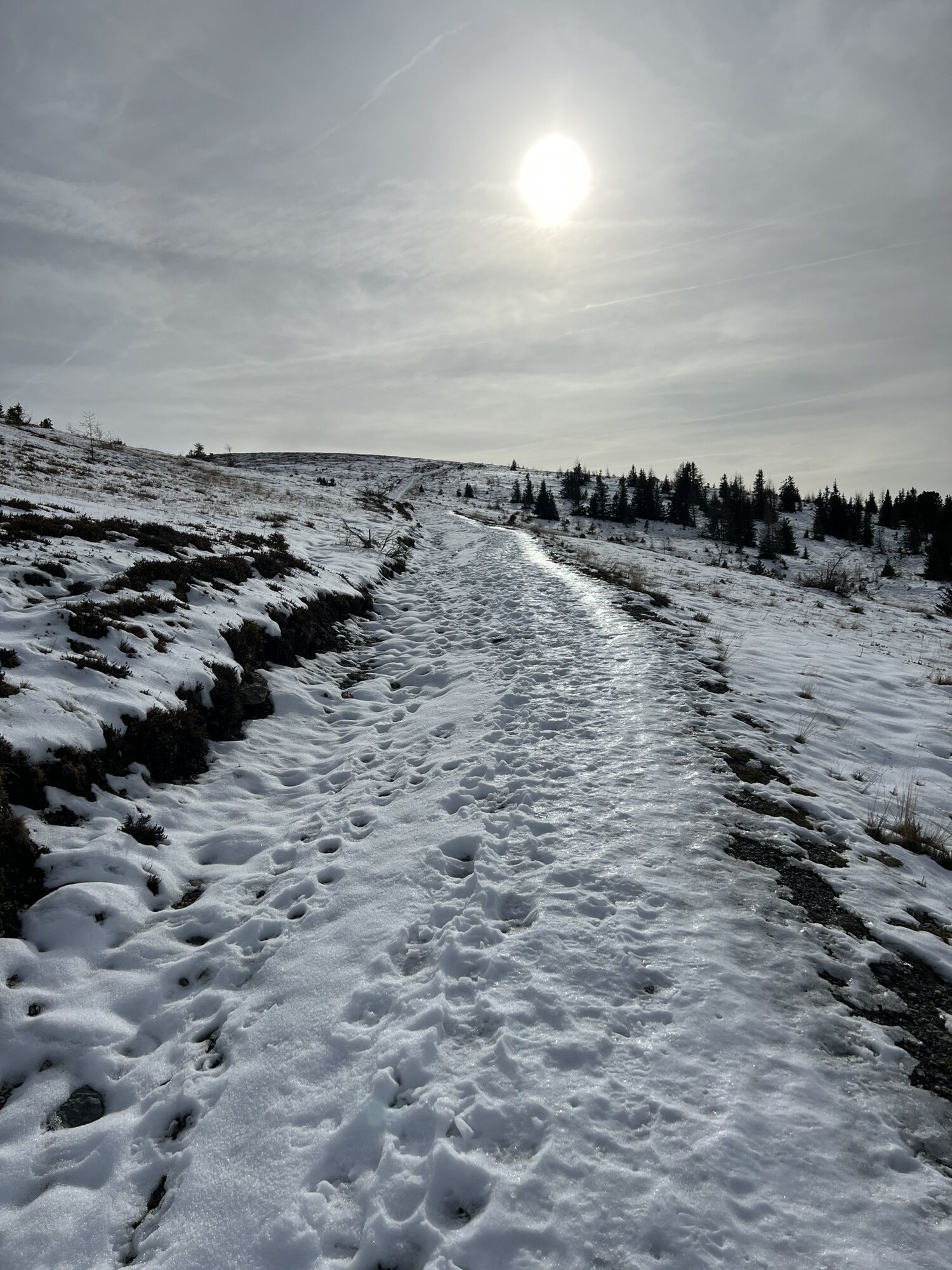
Starting from the Murauer Hütte, the beautiful hike begins through the forest area over the Frauenalpen peak back to the starting point. The tour is also considered a guiding trail of the region around...
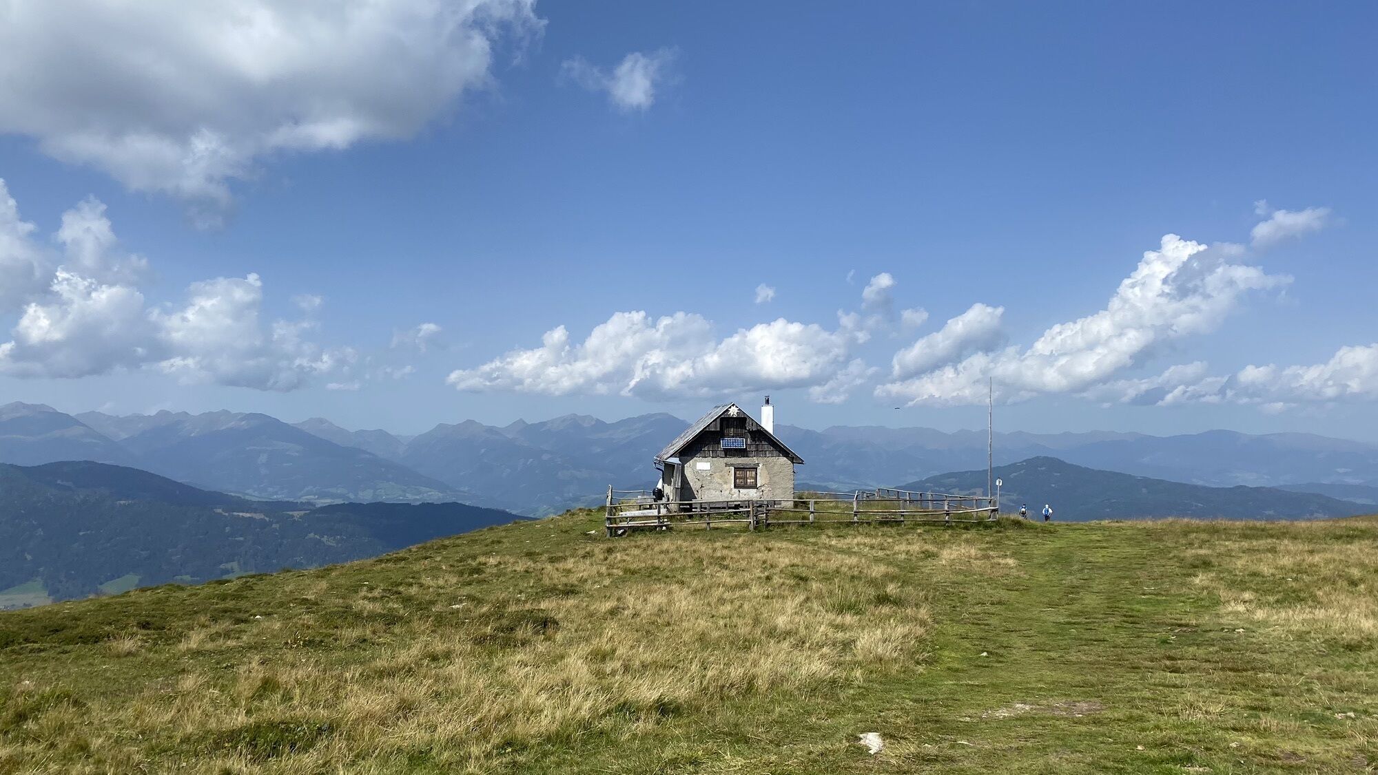
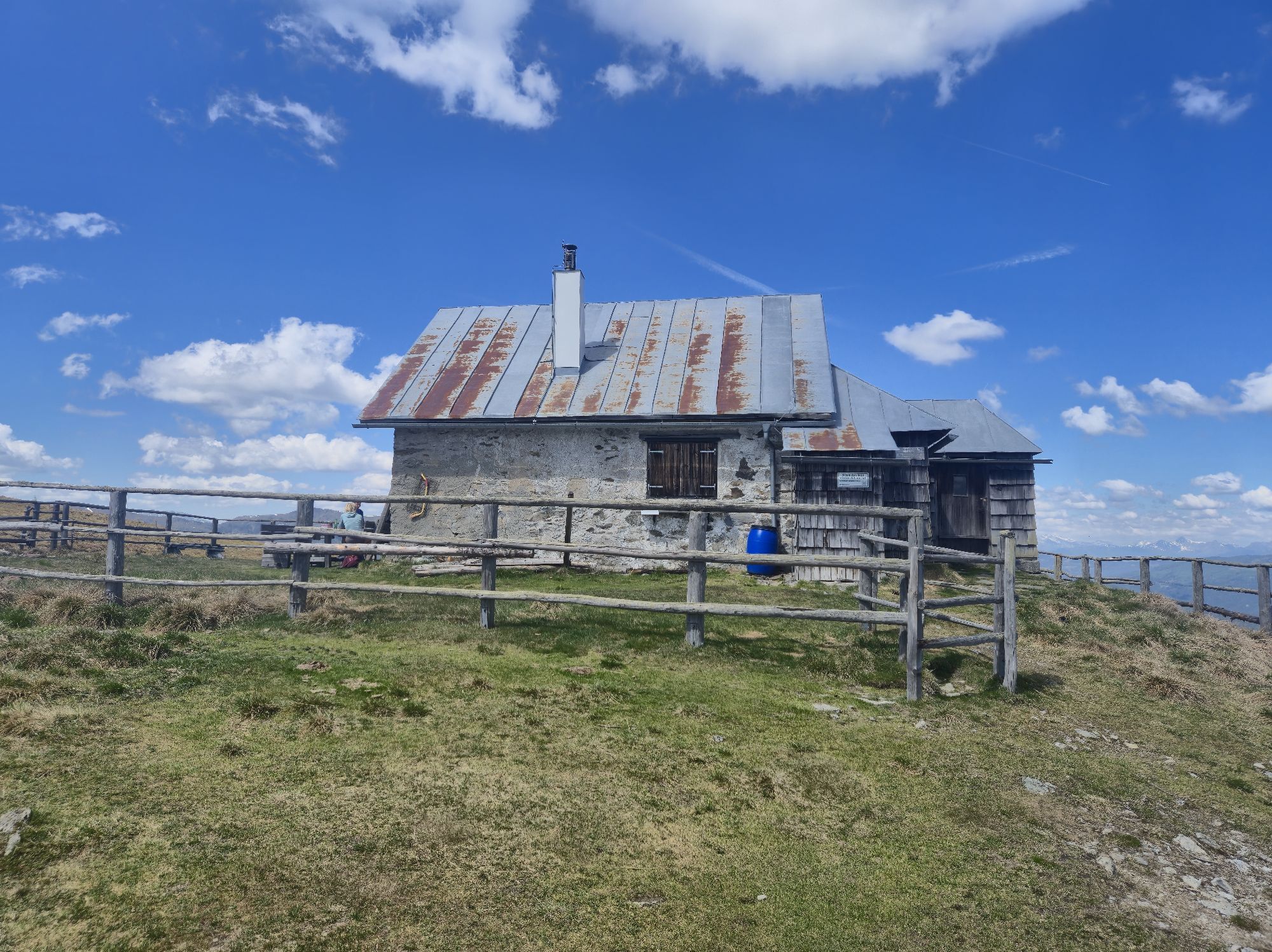
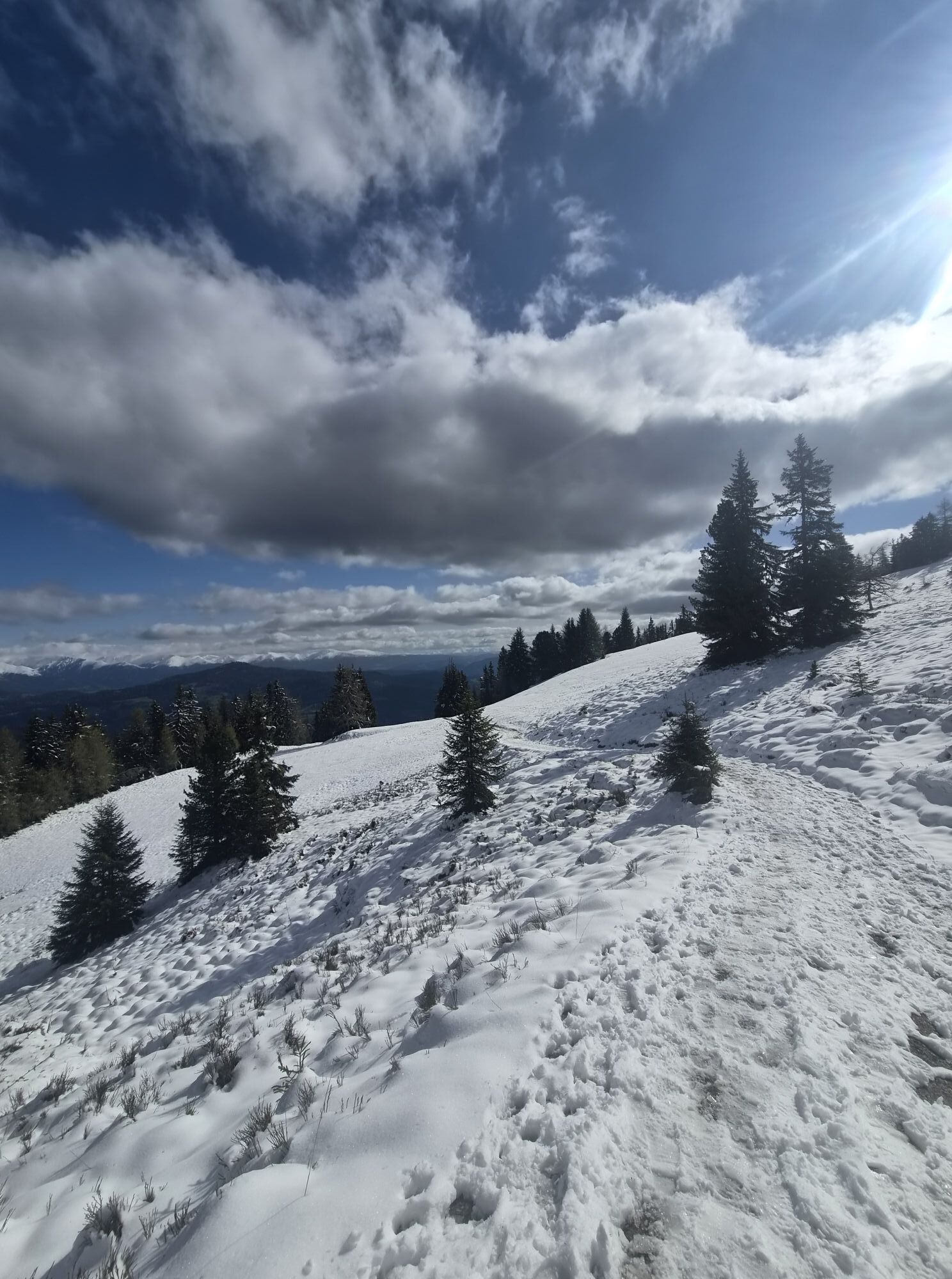
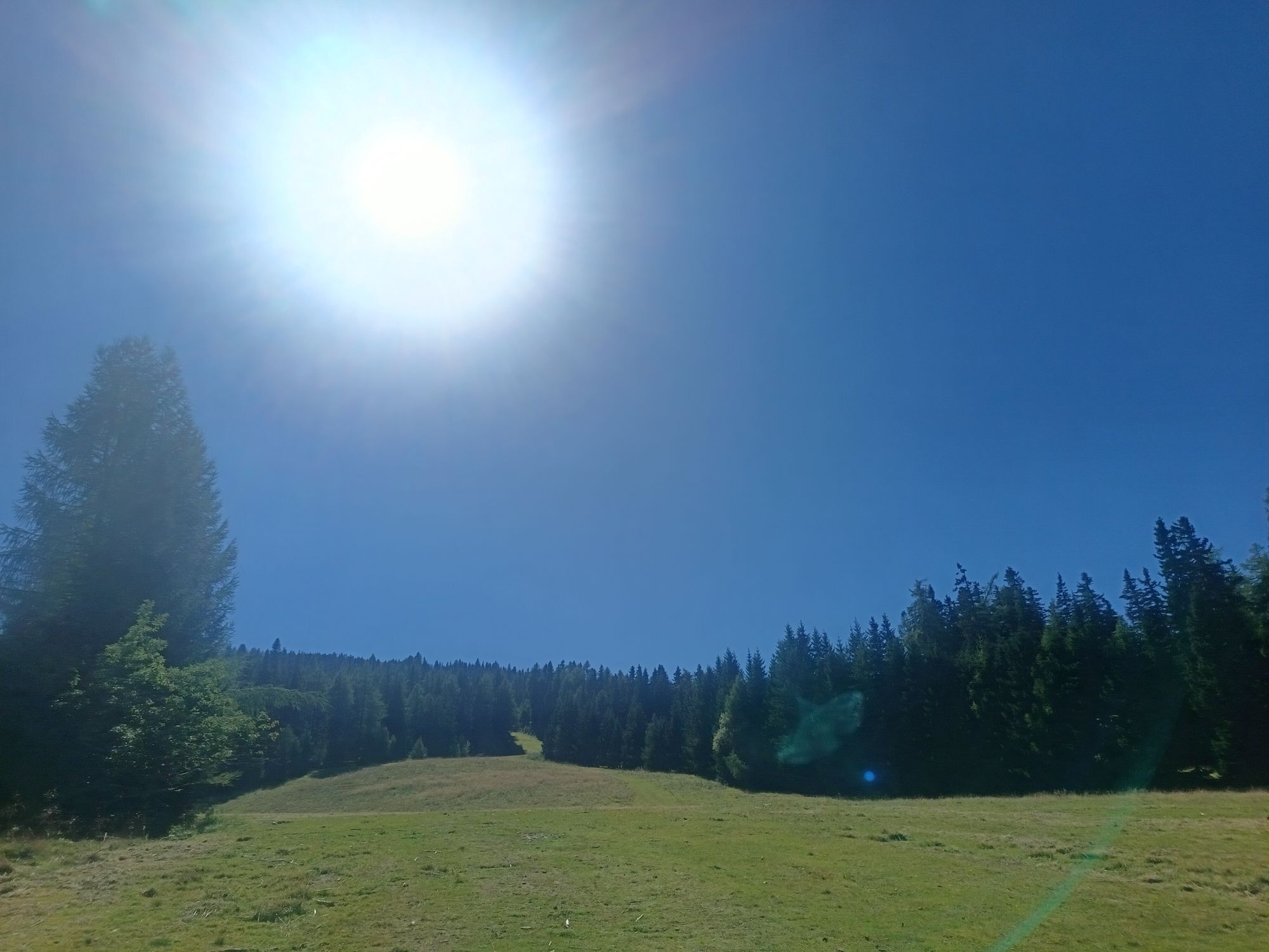
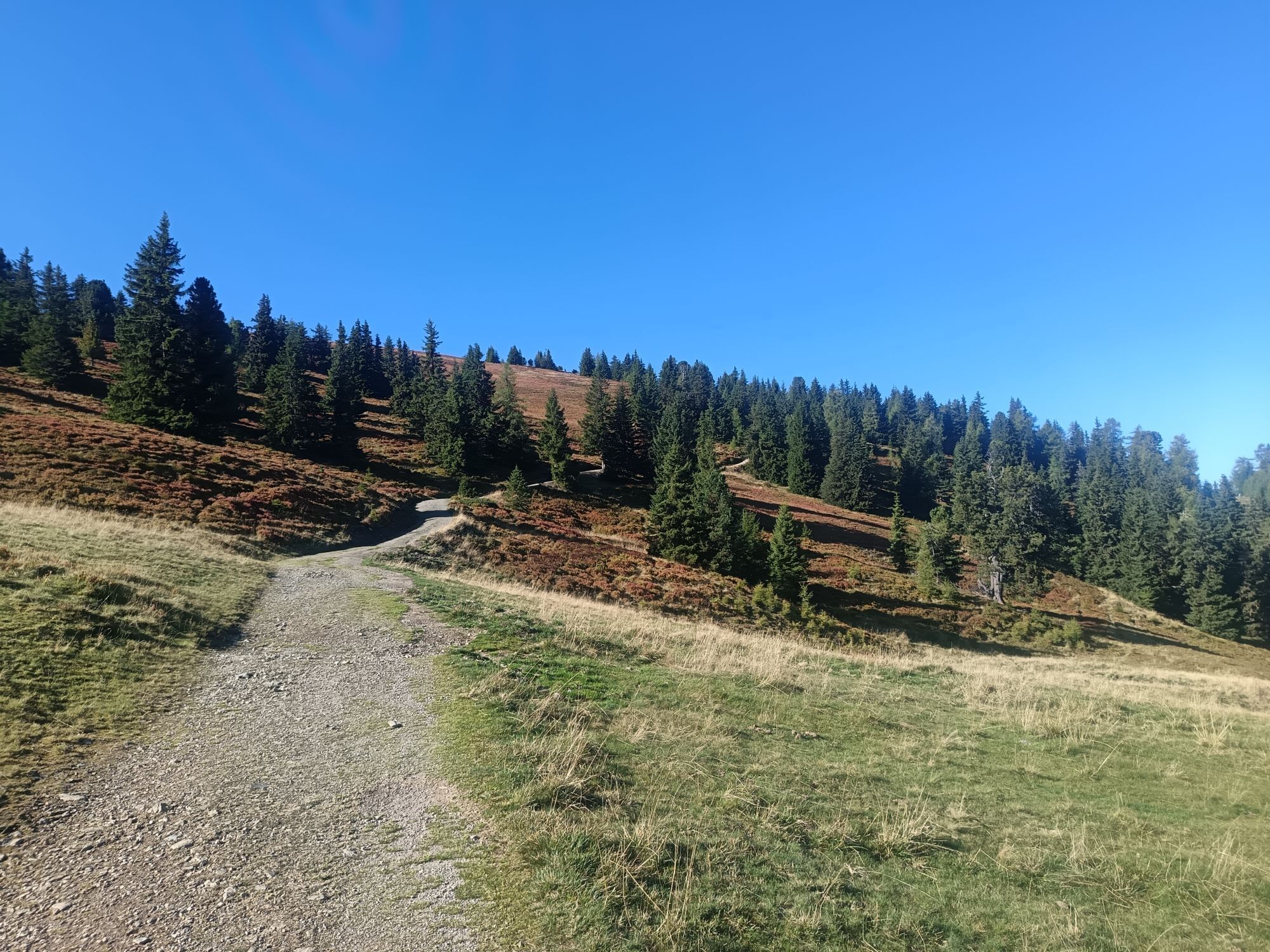
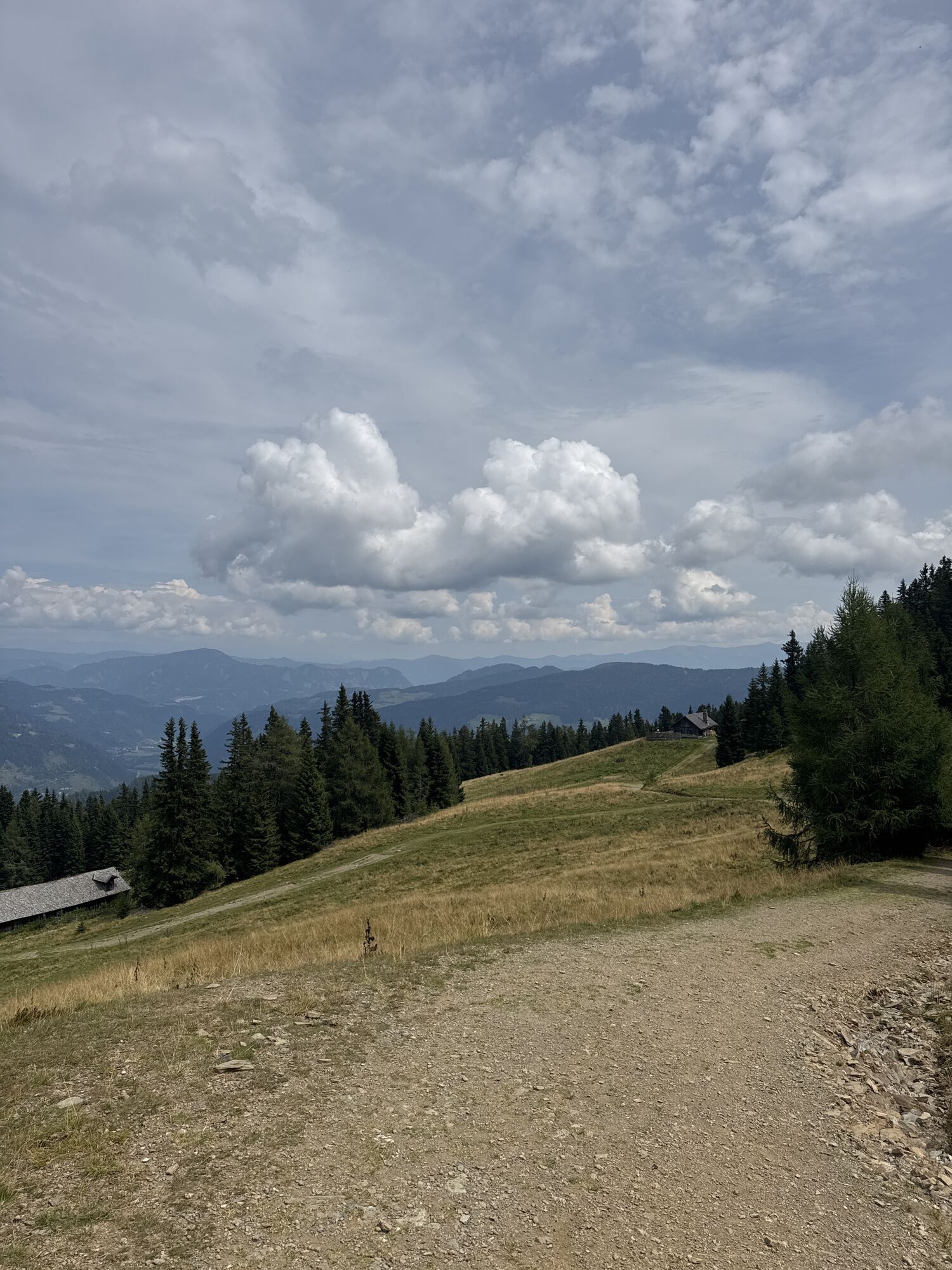
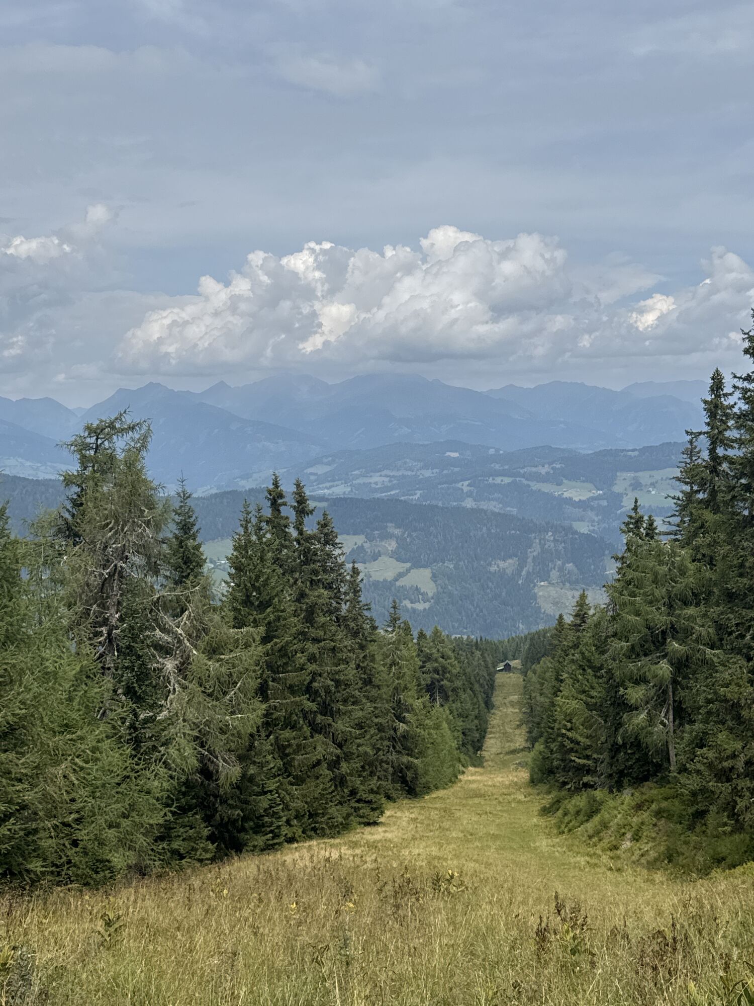
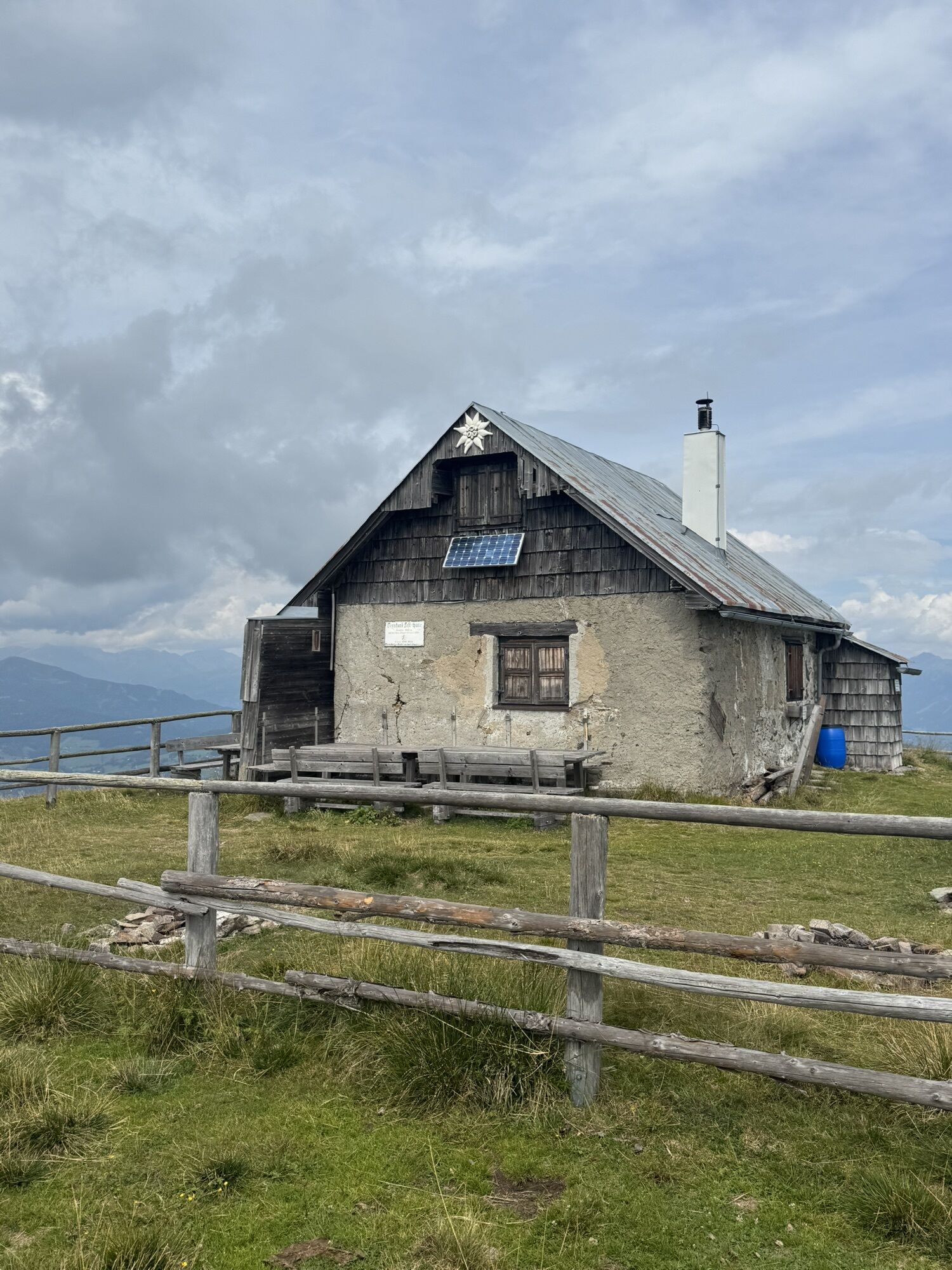
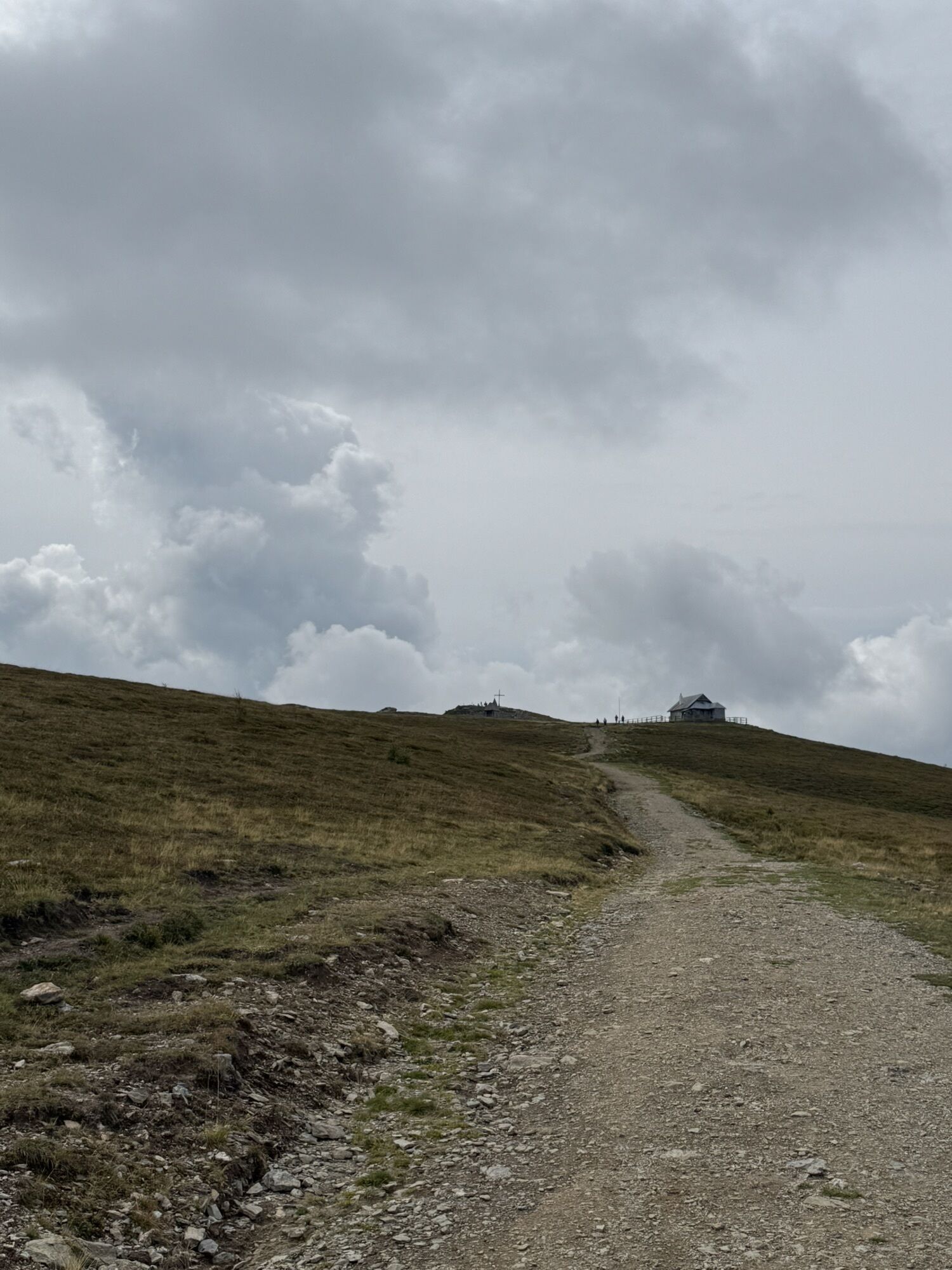
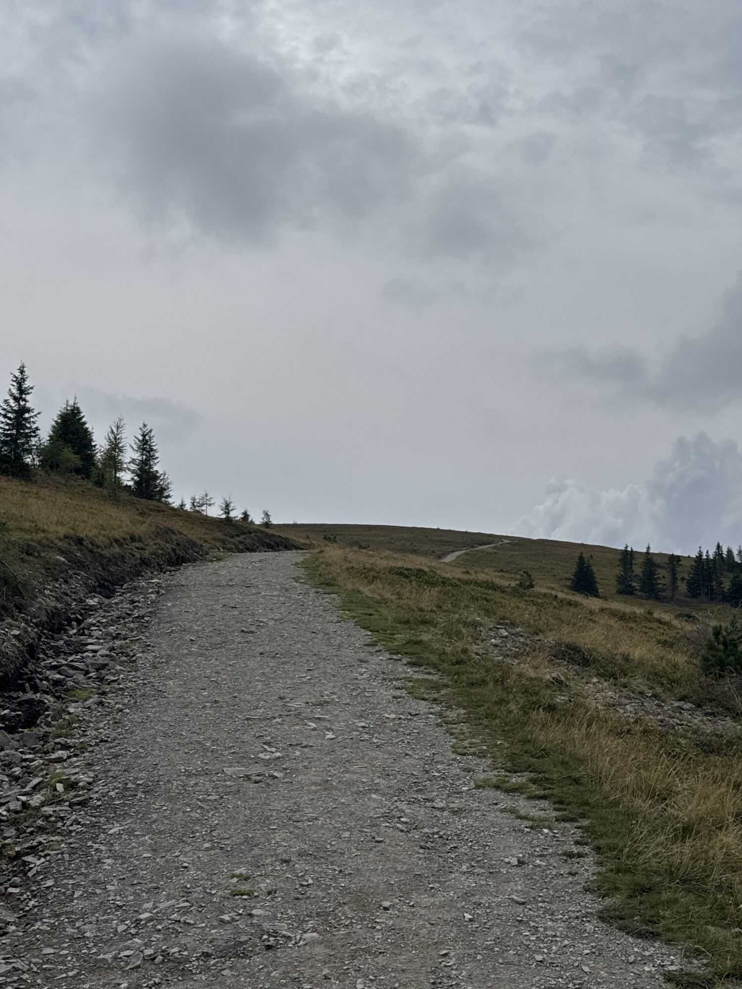
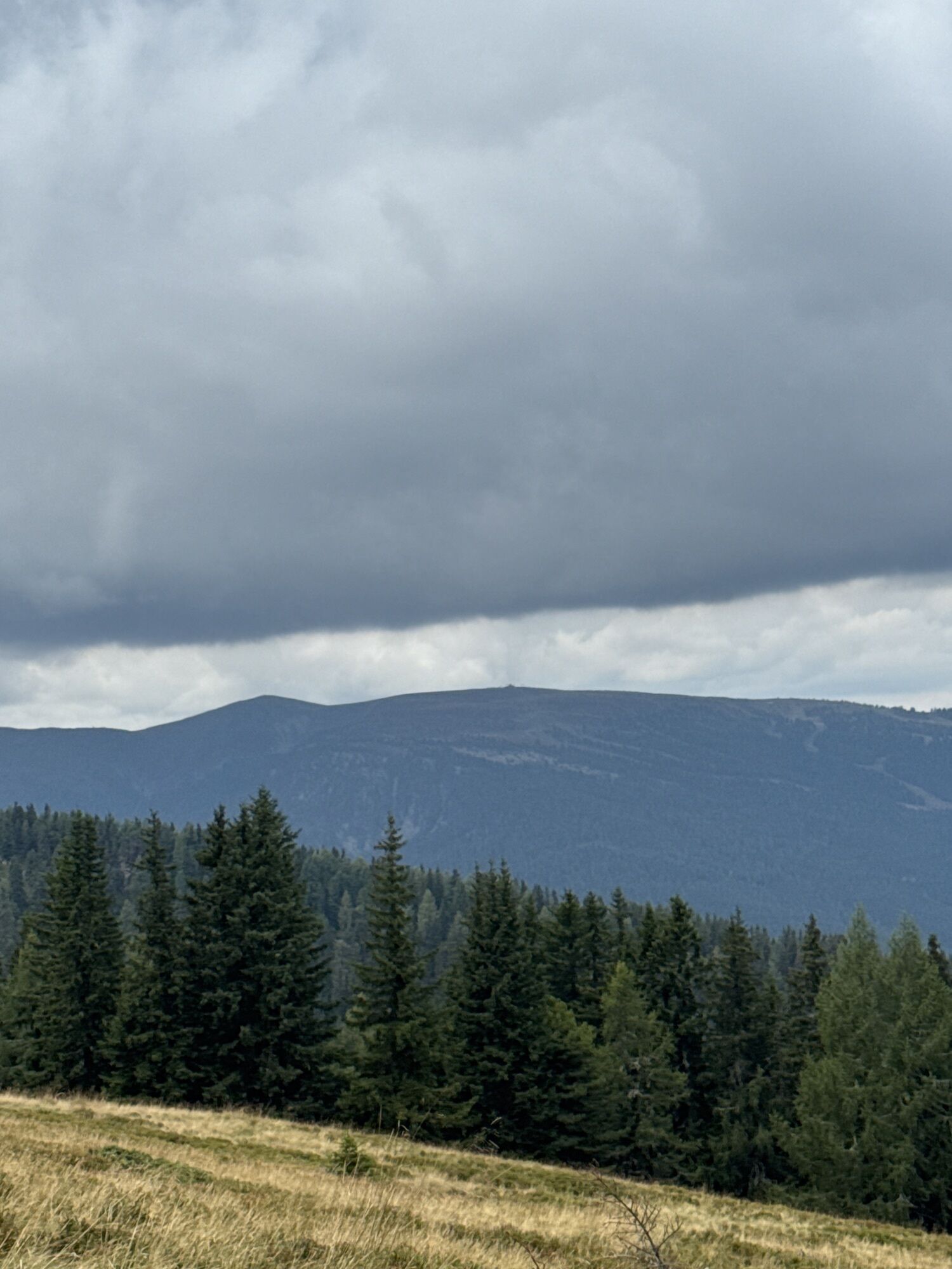
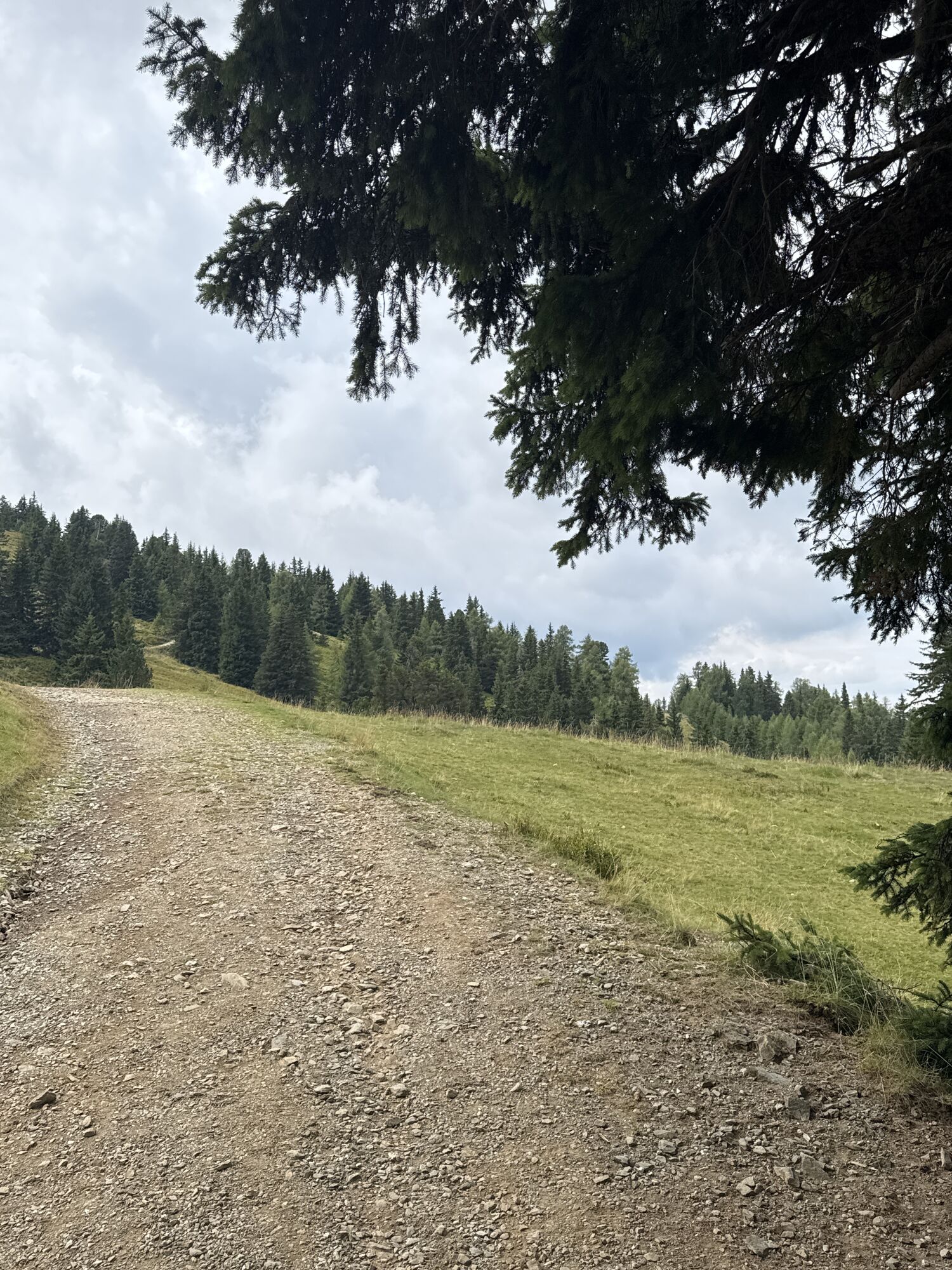
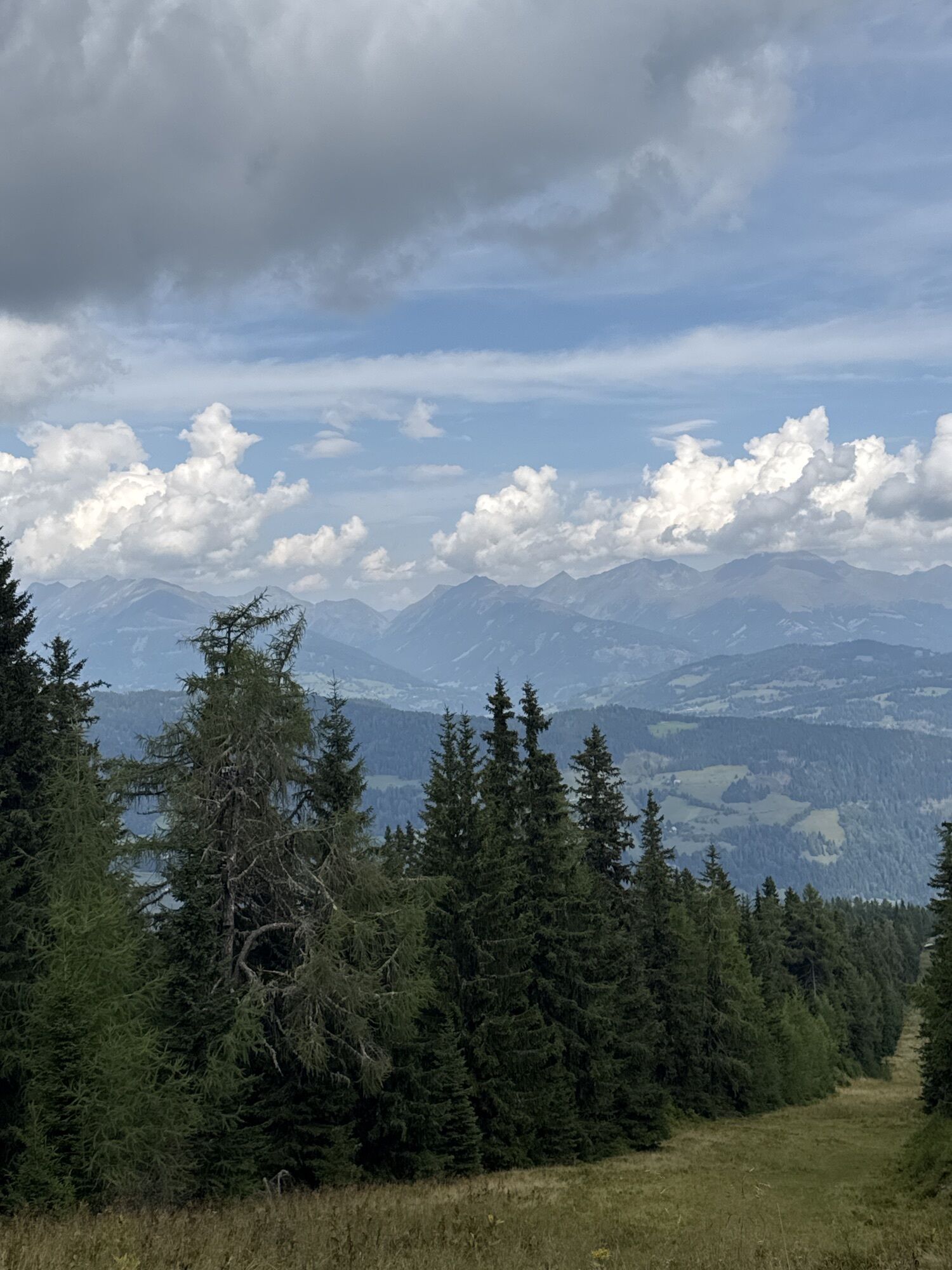
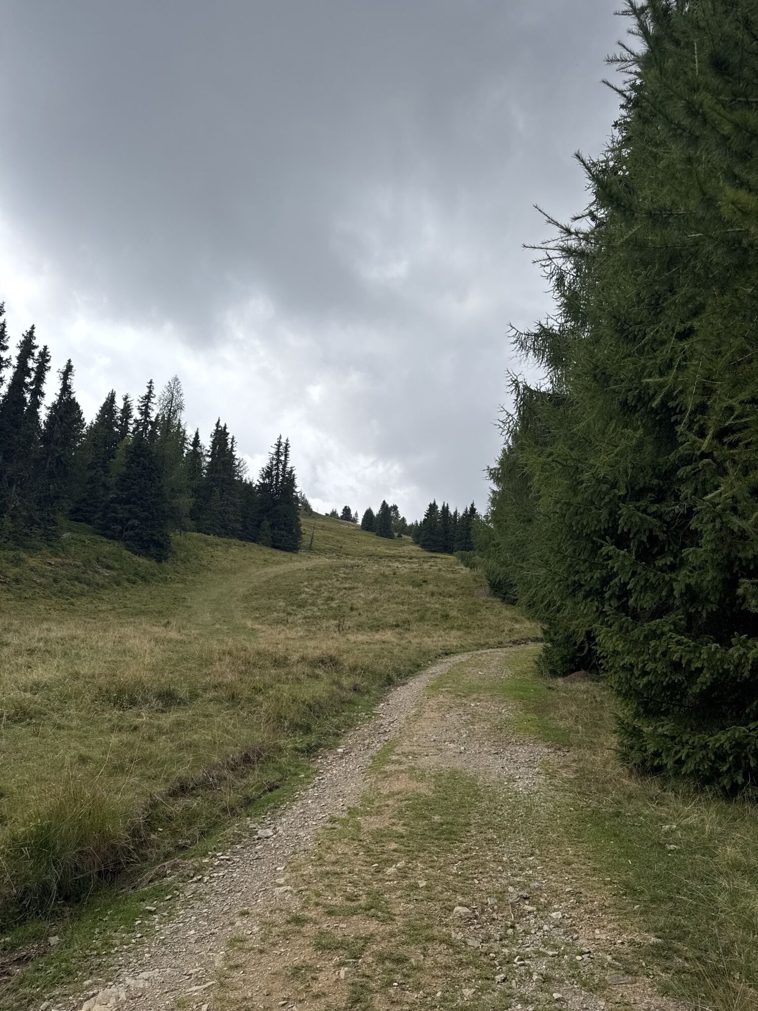
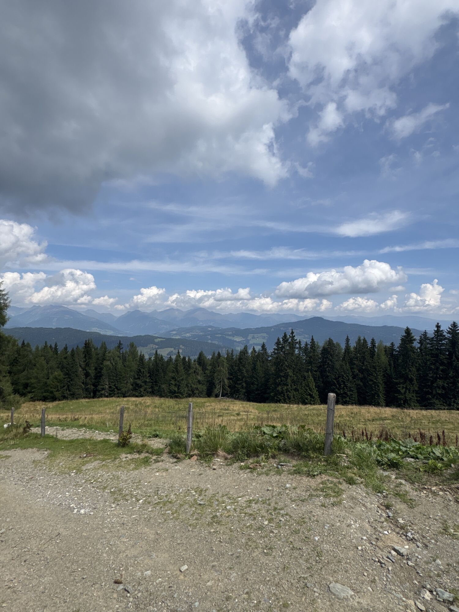
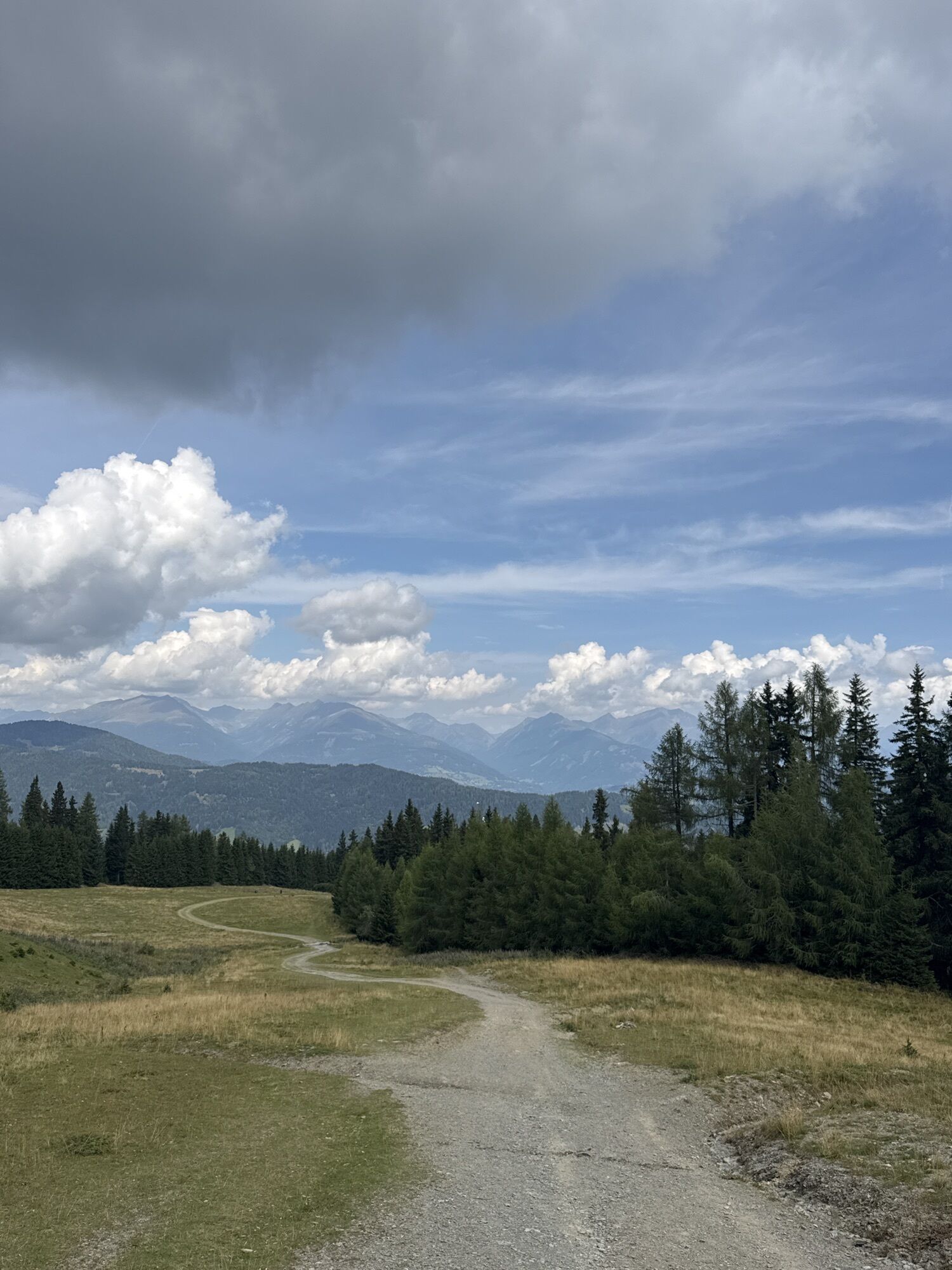
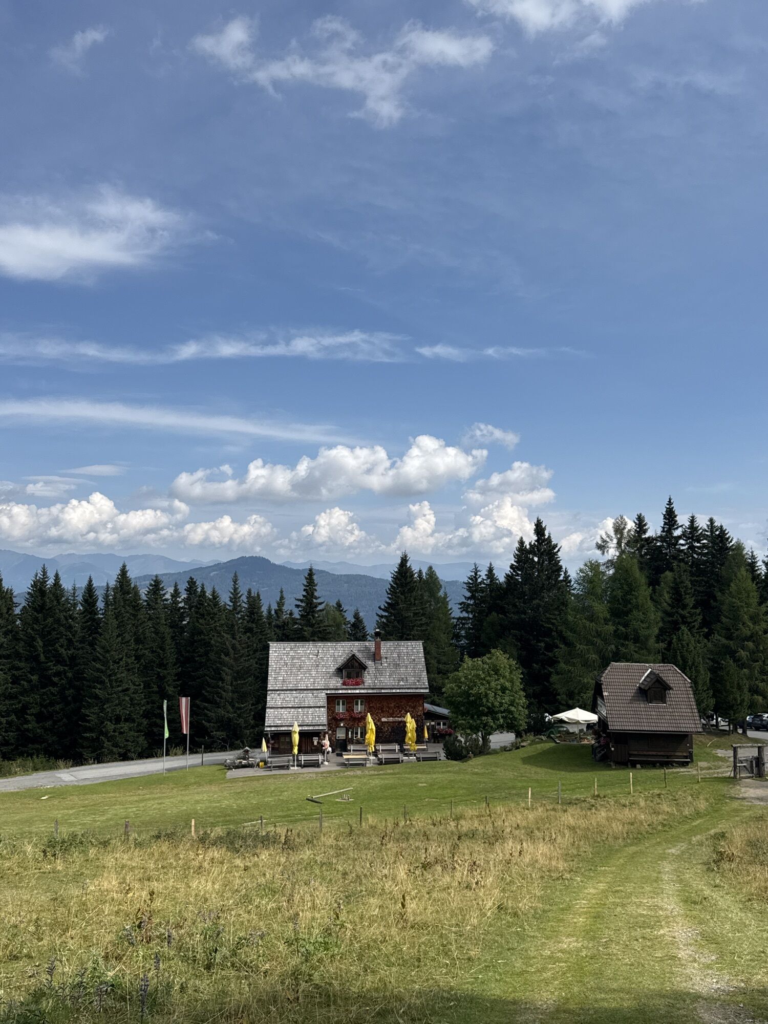
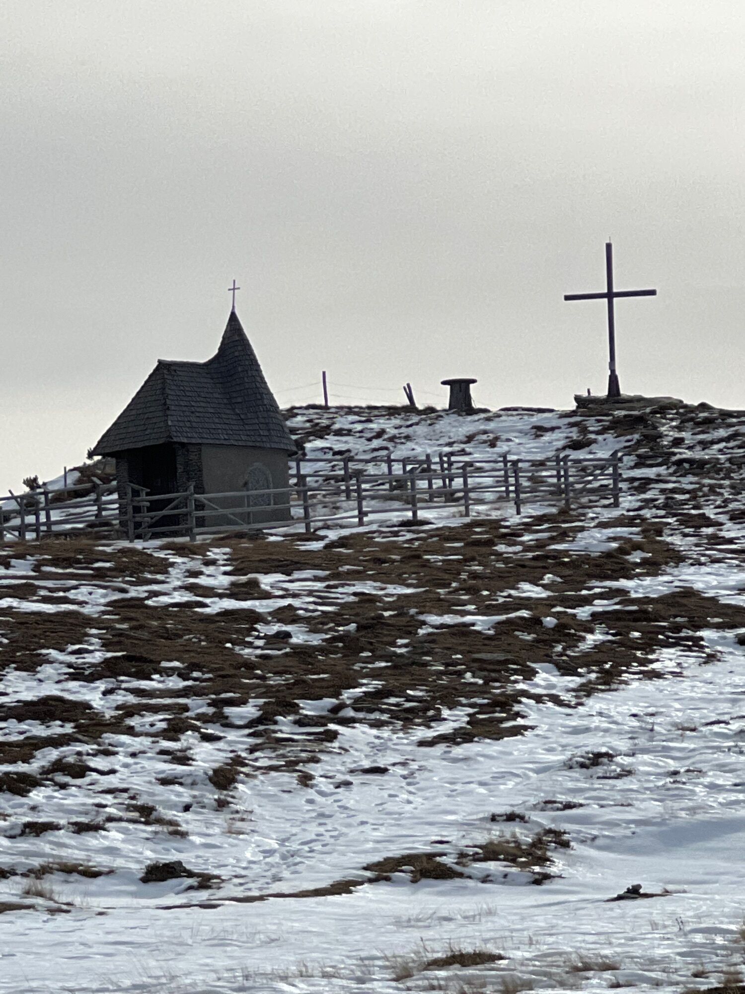
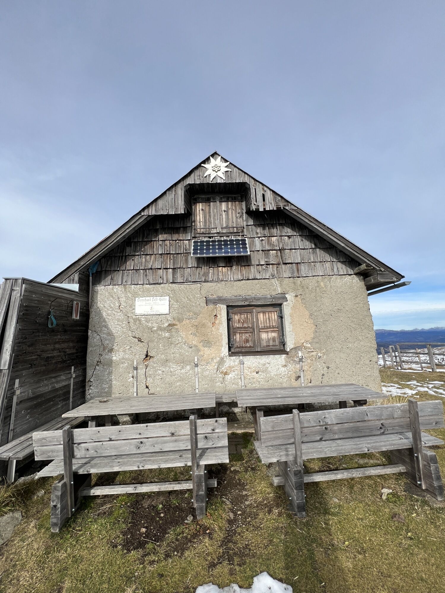
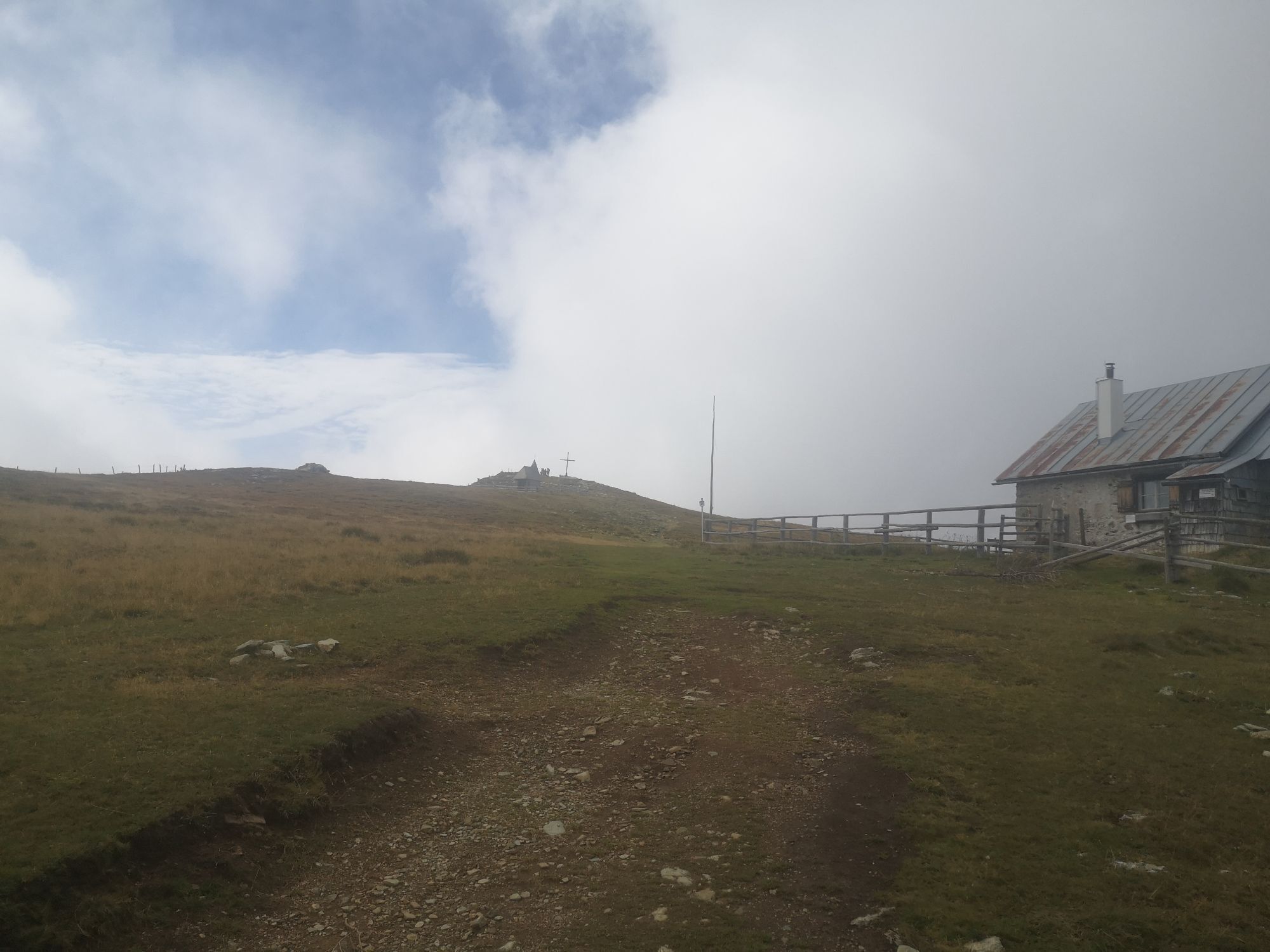
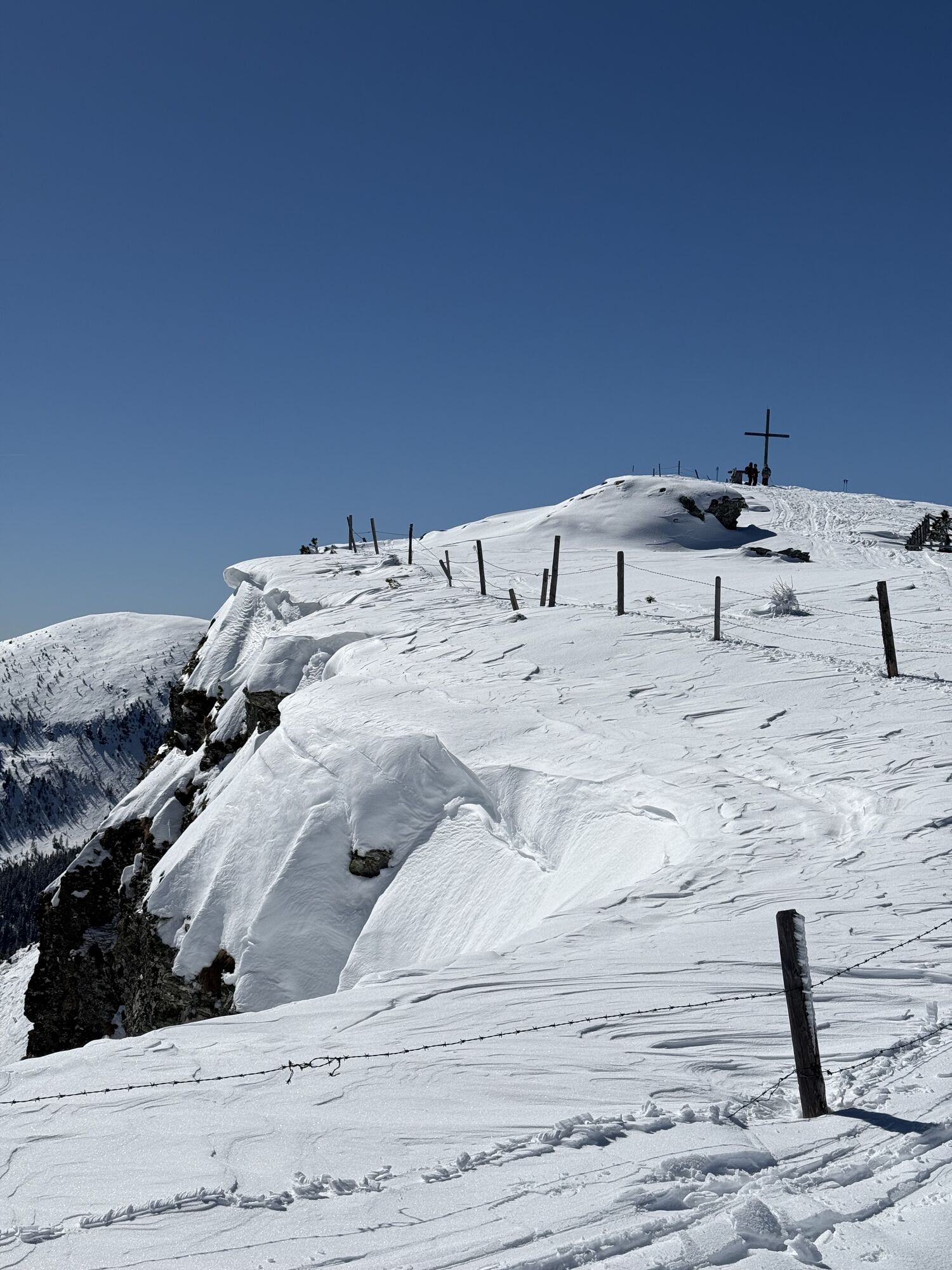
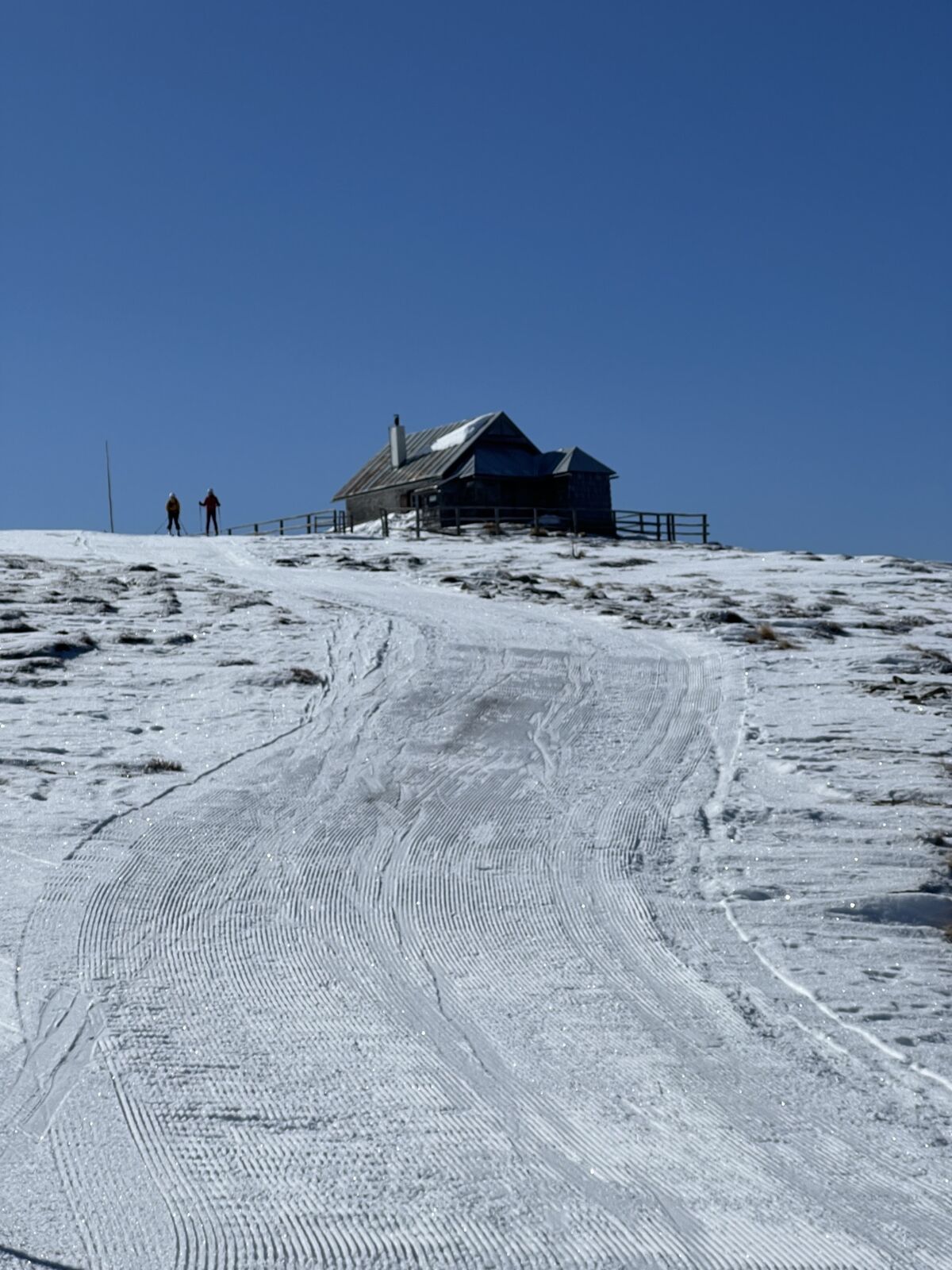
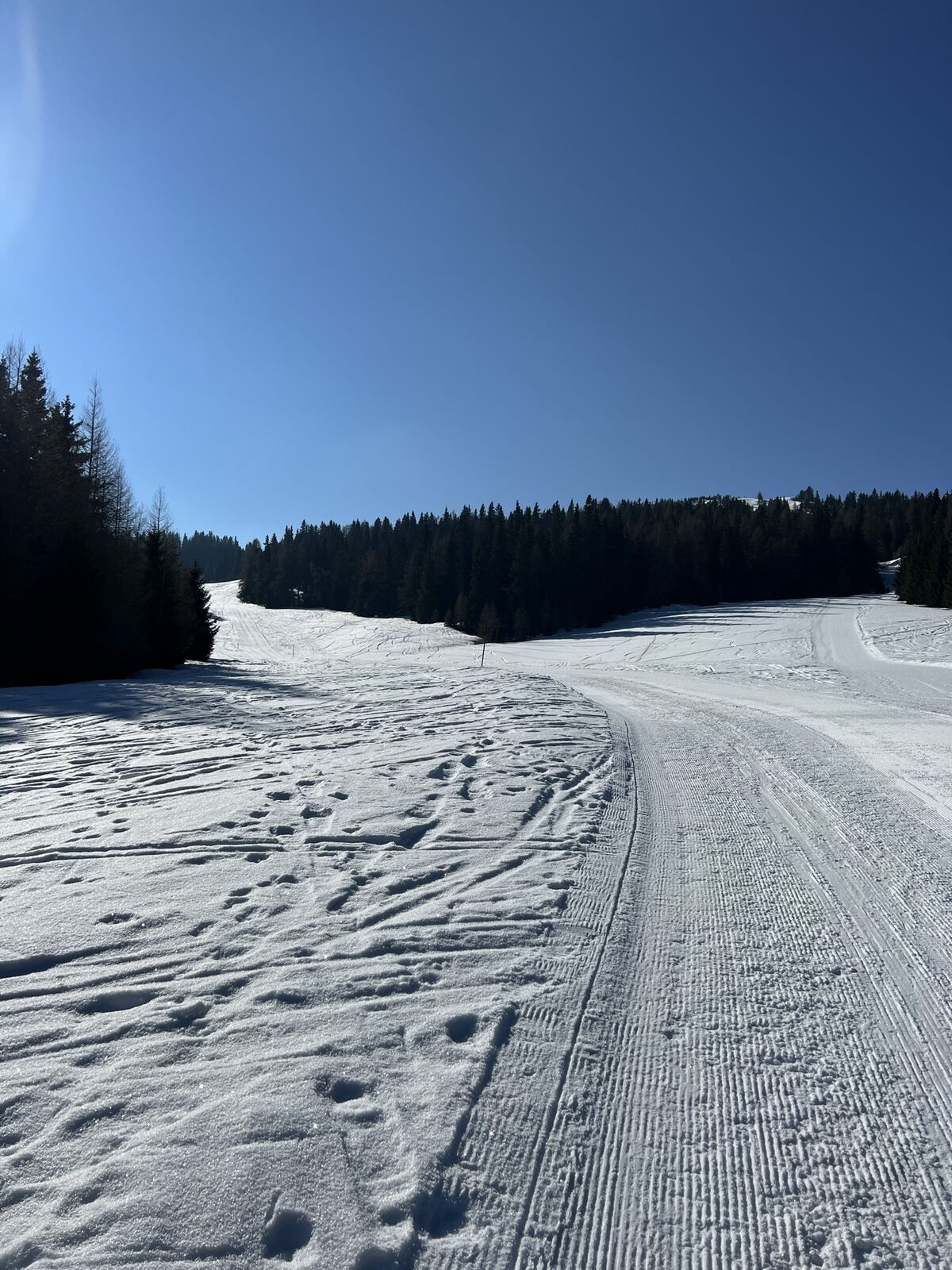
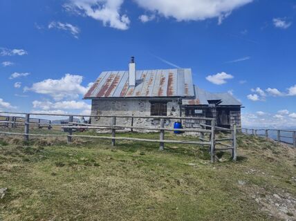
Starting from the Murauer Hütte, the beautiful hike begins through the forest area over the Frauenalpen peak back to the starting point. The tour is also considered a guiding trail of the region around the mountain personality Frauenalpe and symbolizes one of the 8 guiding offers on the topic of hiking in the adventure area of Murau The hike leads through forest and forest paths through wooded areas, to the Troghütte. This is followed by the ascent to the Frauenalpen summit or to the Bernhard-Fest-Hütte (not managed), from there it goes back to the starting point.
From the parking lot of the Murau hut, the path leads in front of the currently not managed Gasthof Krische to the left into the forest road. Follow this along the signposting to the Troghütte (not managed). Then head to the Frauenalpen summit and past the Apollonia chapel, the Bernhard-Fest hut back along the signposted trail to the starting point.


Ascent possible via trail no. 109 from Murau
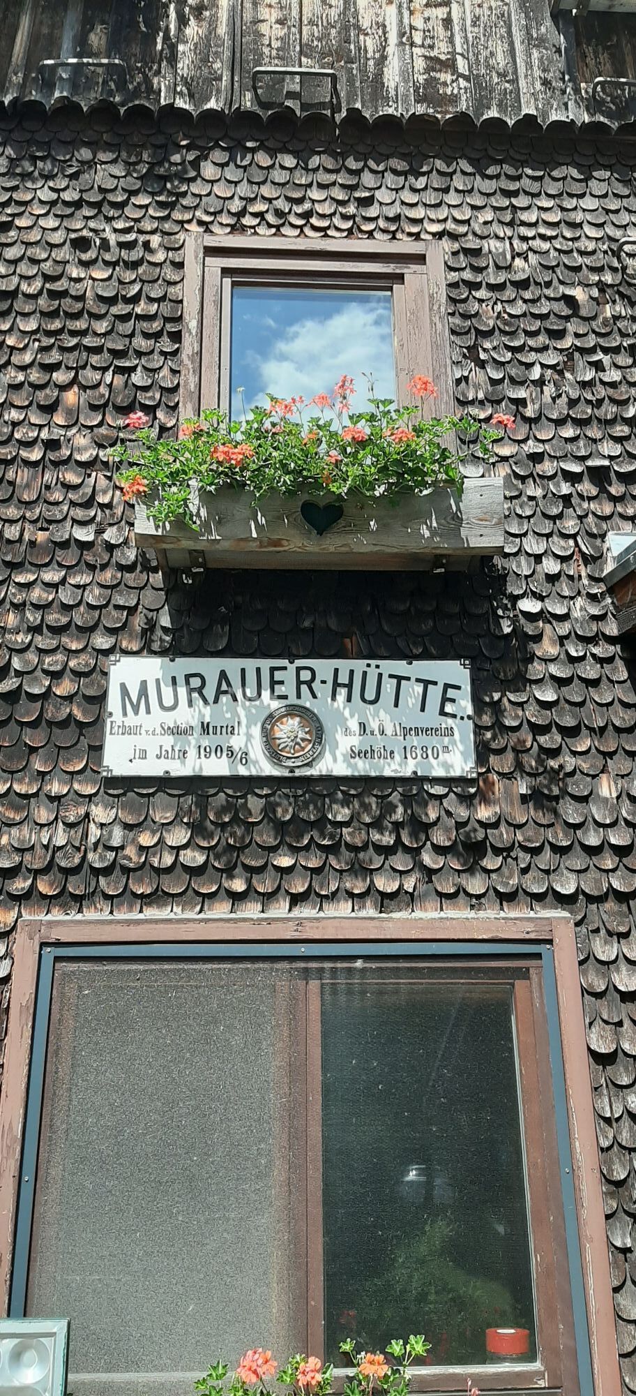
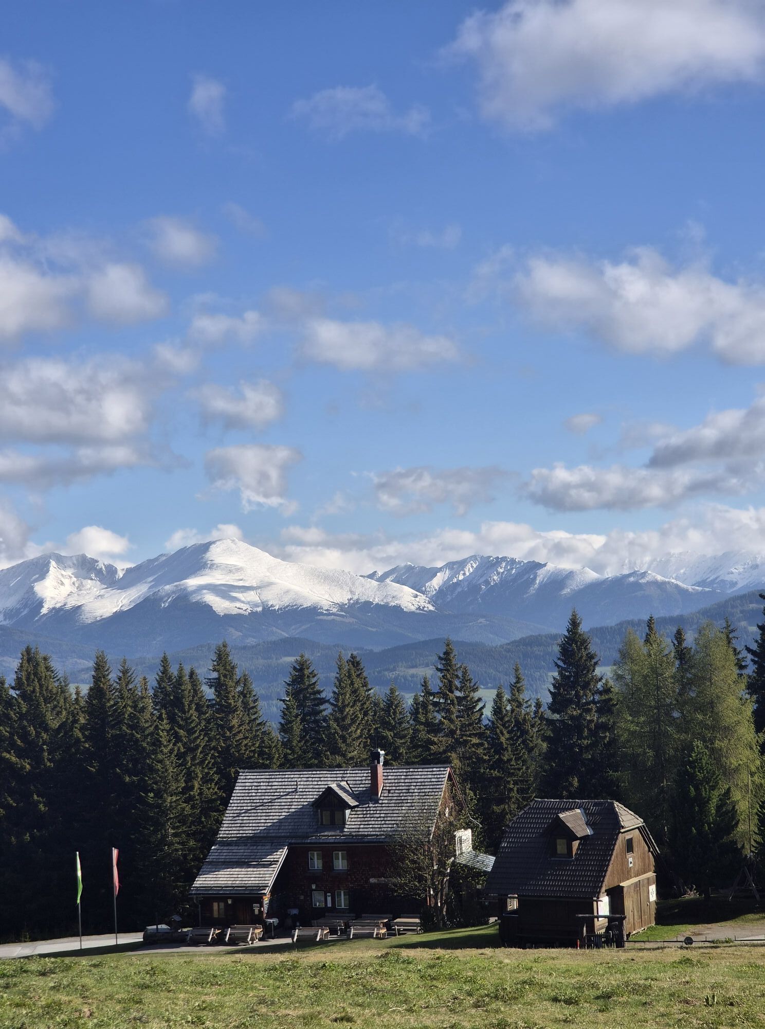
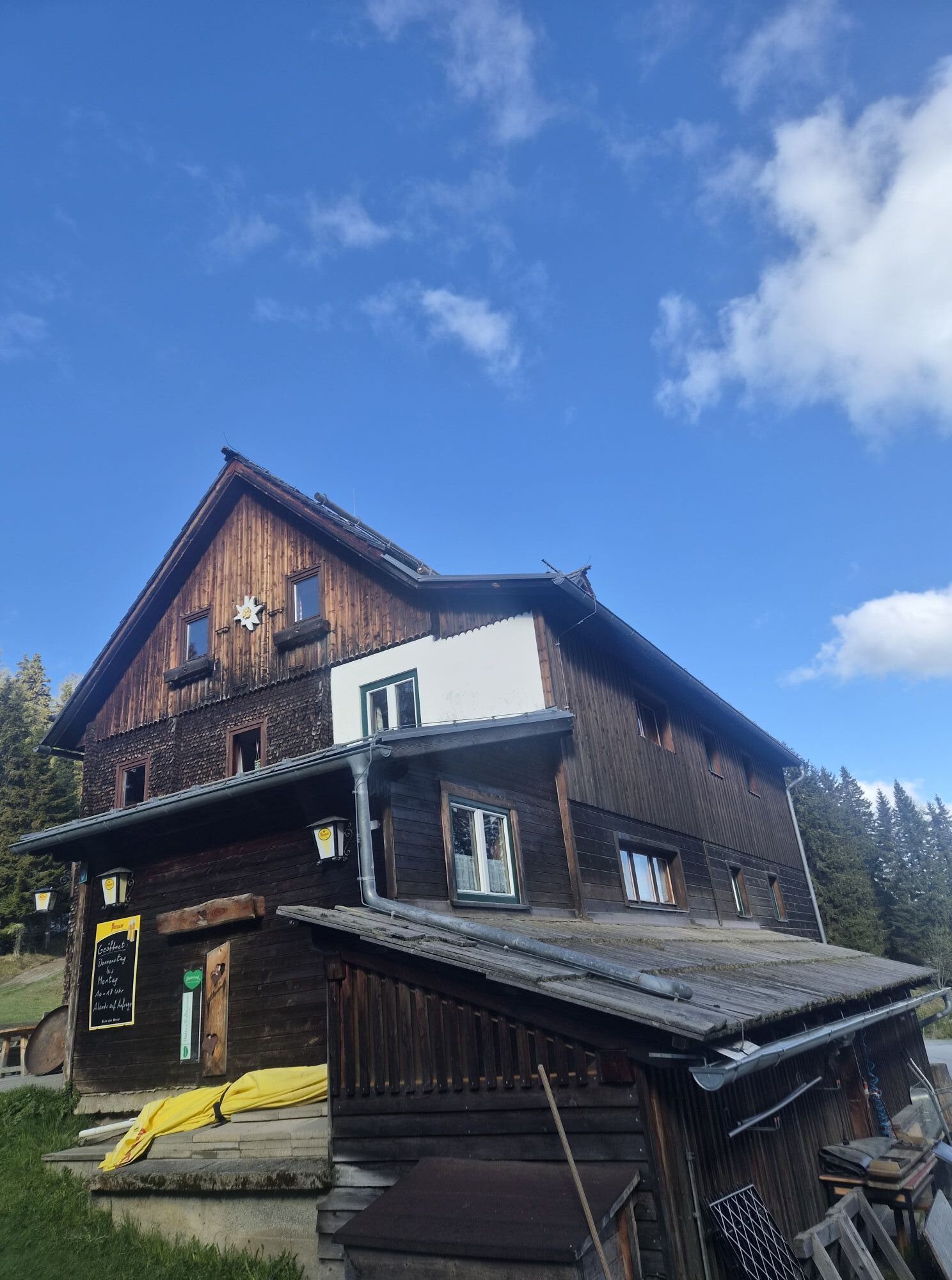
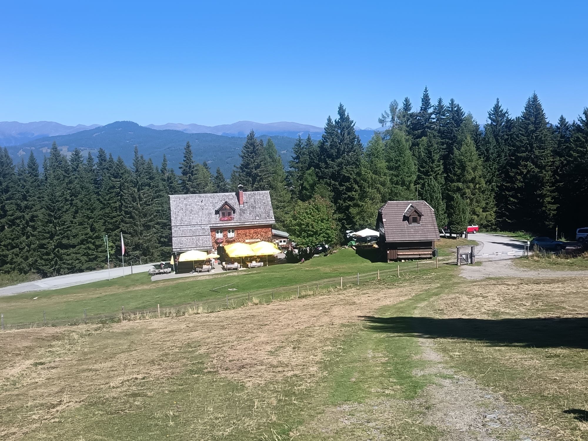
Murauerhütte
Sí
Sí
accessible by car on asphalted road from Murau
Actividades a lo largo del recorrido
-

Sankt Georgen am Kreischberg, Steiermark/Österreich
20.06.2026 – Senderismo -

Sankt Georgen am Kreischberg, Steiermark/Österreich
12.06.2026 – Senderismo -

Sankt Georgen am Kreischberg, Steiermark/Österreich
24.05.2026 – Senderismo de montaña -


Murau, Steiermark/Österreich
17.05.2026 – Senderismo -

Sankt Georgen am Kreischberg, Steiermark/Österreich
08.05.2026 – Senderismo -

Sankt Georgen am Kreischberg, Steiermark/Österreich
02.05.2026 – Senderismo de montaña -

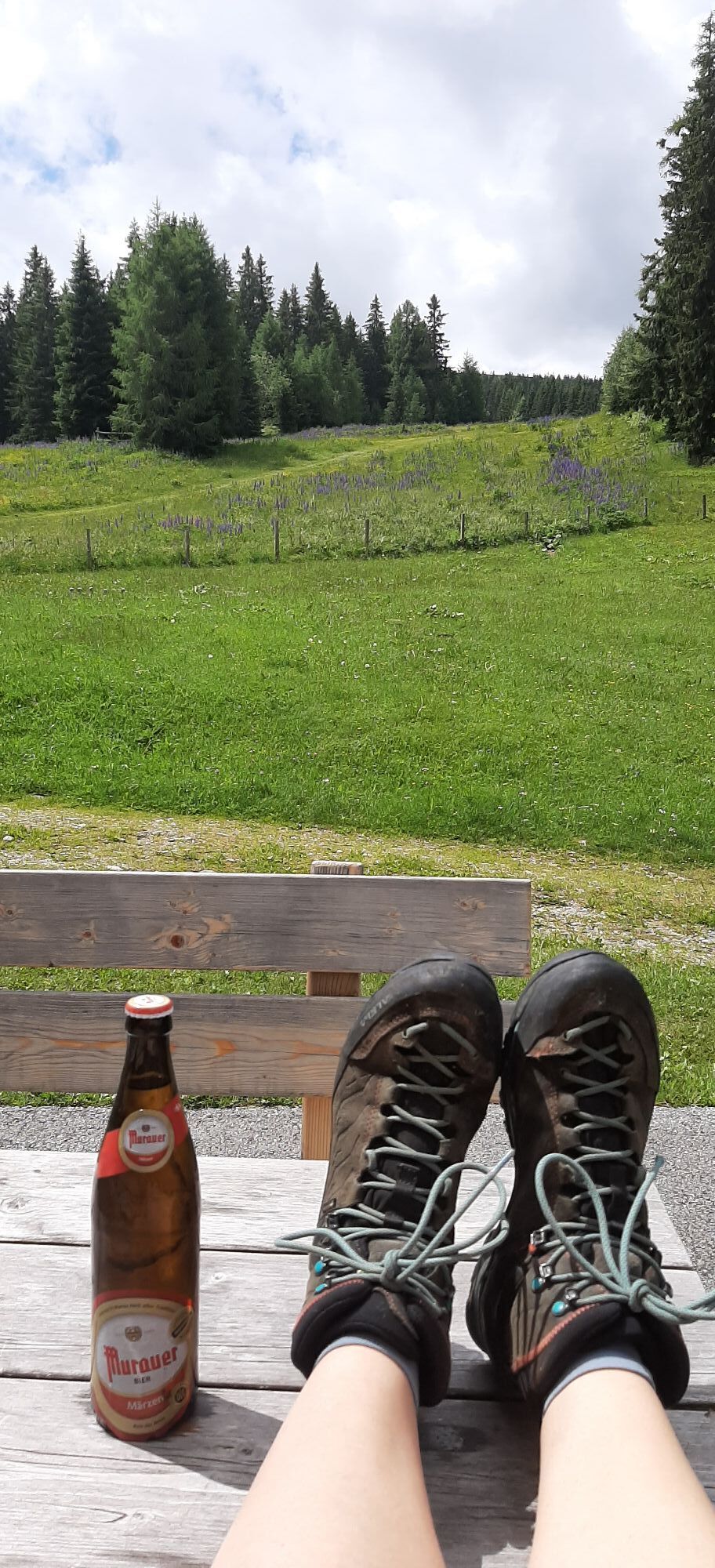
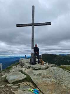
Frauenalpe 1997m⛰️🥾🥰
18.04.2026 – Senderismo de montaña -

Sankt Georgen am Kreischberg, Steiermark/Österreich
07.09.2025 – Senderismo -

Sankt Georgen am Kreischberg, Steiermark/Österreich
20.08.2025 – Senderismo -
Sankt Georgen am Kreischberg, Steiermark/Österreich
04.08.2025 – Senderismo -

Frauenalpe
01.07.2025 – E-Bike
Rutas populares en los alrededores
-
4,8
Rundweg Murauer hütte-Frauenalp, Steiermark/Österreich
medioSenderismo 9,07 km -
4,7
Gstoder
medioSenderismo 4,72 km -
4,8
Murau - Frauenalpe
medioSenderismo 15,4 km -
4,8
Grebenzen Runde
medioSenderismo 13,7 km -
4,3
Weg zum Stolzalpengipfel
medioSenderismo 17,2 km -
5,0
Kuhalm
medioSenderismo 16,8 km -
3,7
Kleine Günster Wasserfallrunde
medioSendero temático 3,01 km -
4,7
Schitour Grebenzen
medioEsquí de travesía 8,66 km -
4,3
Kirchsteigweg St. Georgen am Kreischberg
luzSenderismo 7,44 km -
3,3
Günster Wasserfallwanderung
luzSenderismo 8,38 km
Senderismo y rastreo


No se pierda las ofertas y la inspiración para sus próximas vacaciones
Su dirección de correo electrónico se ha añadido a la lista de correo.