






Bauleiteck
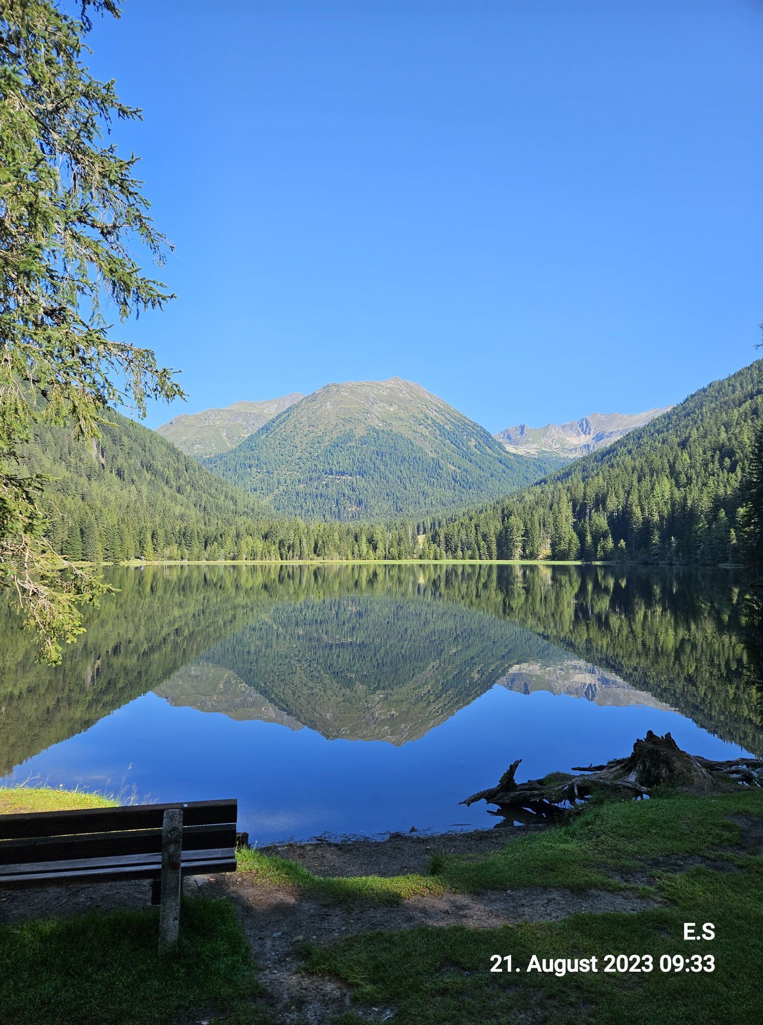

Ascent: By valley bus or private car coming from Krakauebene or Krakaudorf in the district of Hintermühlen in the direction of Etrachsee (N) turn off the main road and follow the road, which is open...
Ascent:
By valley bus or private car coming from Krakauebene or Krakaudorf in the district of Hintermühlen in the direction of Etrachsee (N) turn off the main road and follow the road, which is open in the summer months, past St. Ulrich's Church to the GH Etrachsee (parking).
From the GH Etrachsee on the forest road on the eastern (right) lakeshore to the N to the Moaralm and further to the fork
Hubenbauertörl/Rudolf Schoberhütte.
Head N (right) towards Grafenalm, follow the slightly ascending forest road to the fork in the footpath to Rudolf Schoberhütte.
Slightly ascending follow the marked path 794 in direction N until it meets WWW02, coming from Hubenbauertörl.
Continue on the now slightly ascending trail through sparse high forest to the Rudolf Schober hut, 1,667m.
Past the Rudolf Schober hut to the fork Schimpelscharte trail no. 702 we follow trail no. 794 to Bauleiteck through the dense larch forest.
Past the turnoff to the Wildenkarsee we go steadily ascending towards the
summit of Bauleiteck where we ascend the steep flank towards the east and continue along the ridge to the summit of Bauleiteck (2424m).
Descent:
As ascent
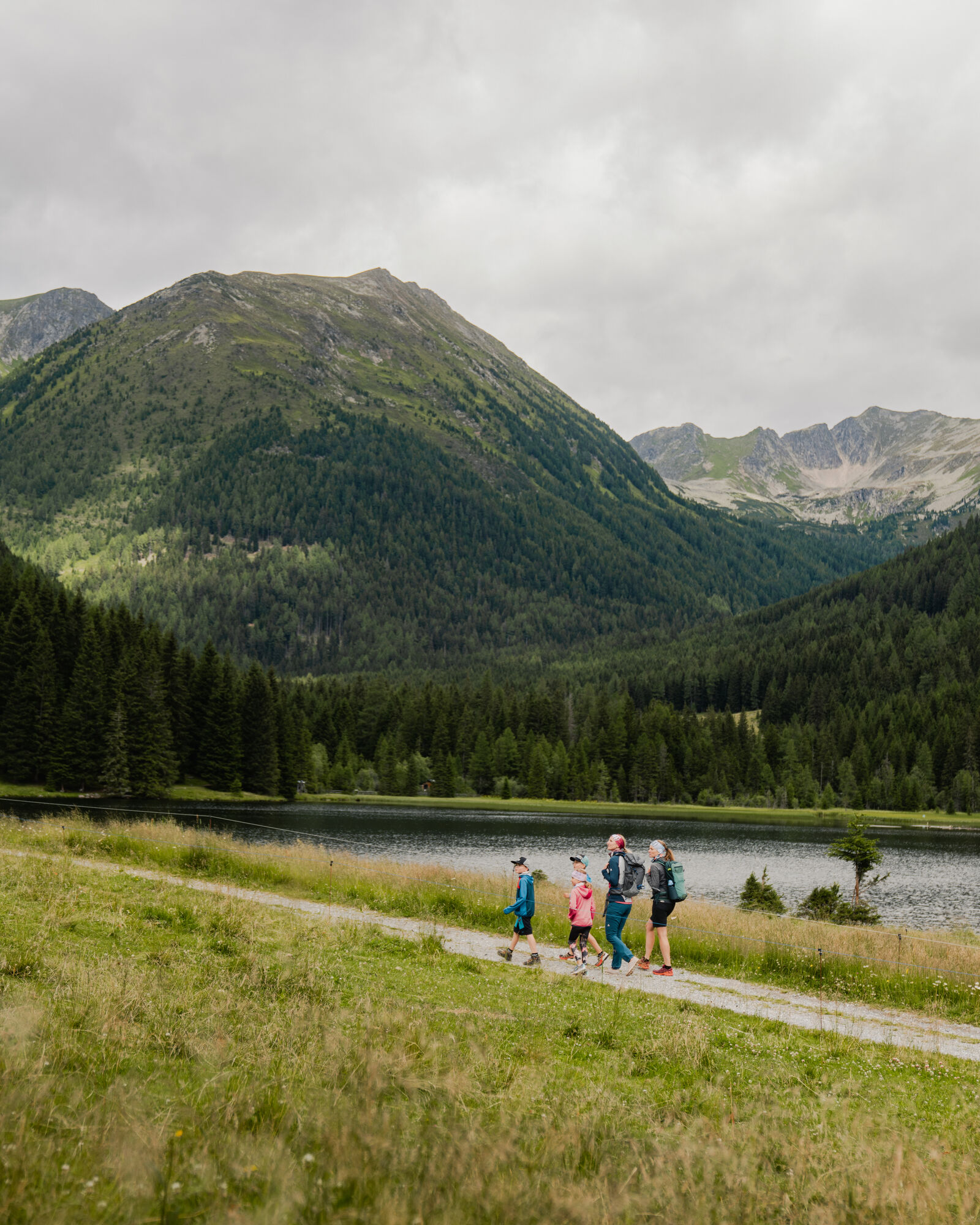


Trout station Etrachsee, Karlhütte, Rudolf-Schober-Hütte
Sí
Sí
Good shoes, enough to drink
From Vienna/Graz/Linz via the Murtal expressway S36 to Judenburg, the federal road B96 to Scheifling, the B96 further to Murau and Ranten. In Seebach either turn off in the direction of Krakaudorf/Krakauhintermühlen or via Unter- u. Oberetrach to Krakauschatten and Krakauhintermühlen.
From Klagenfurt via the federal road B317 to Scheifling, on the B96 further to Murau and Ranten. In Seebach either turn off in the direction of Krakaudorf/Krakauhintermühlen or via Unter- u. Oberetrach to Krakauschatten and Krakauhintermühlen.

 Infórmate
Siempre en directo con más de 9.500 webcams. bergfex Como usuario Pro, ahora puede ver las webcams correspondientes a muchos tours en la app de tours desde. Esto le permite ver las condiciones actuales directamente.
Infórmate
Siempre en directo con más de 9.500 webcams. bergfex Como usuario Pro, ahora puede ver las webcams correspondientes a muchos tours en la app de tours desde. Esto le permite ver las condiciones actuales directamente.
Actividades a lo largo del recorrido
-

Krakau, Steiermark/Österreich
12.07.2026 – Senderismo -

Bauleiteck-1. Tag
09.07.2026 – Senderismo -

Krakau, Steiermark/Österreich
02.07.2026 – Raquetas de nieve -
Krakau, Steiermark/Österreich
23.06.2026 – Senderismo -

Krakau, Steiermark/Österreich
04.06.2026 – Senderismo -

Krakau, Steiermark/Österreich
28.06.2025 – Senderismo de montaña -
Bauleiteck, Krakau, Steiermark
31.05.2025 – Senderismo
Rutas populares en los alrededores
-
4,7
Deneck
medioSenderismo 8,02 km -
4,7
Preintalerhütte über den Alpinsteig Höll
medioSenderismo 13,8 km -
4,8
Talkenschrein
medioSenderismo 8,48 km -
4,6
Greim-Gipfelrunde
medioSenderismo 8,30 km -
4,6
Greim
medioSenderismo 6,12 km -
3,6
Kleinsölk: Putzentalalm
luzSenderismo 11,7 km -
4,5
Gipfeltour zum Knallstein
medioSenderismo 16,4 km -
4,3
Hochwildstelle (2.747 m) - Aufstieg über Hans-Wödl-Hütte
pesadoSenderismo 16,4 km -
4,5
Seekarlsee - Karibikfeeling garantiert
medioSendero temático 12,3 km -
4,0
Preber summit hike
medioSenderismo 14,9 km
Senderismo y rastreo


No se pierda las ofertas y la inspiración para sus próximas vacaciones
Su dirección de correo electrónico se ha añadido a la lista de correo.





