


From the Triebental to the Gamskögel (western summit)


Starting point of the tour is the paid car park (EUR 5 for a day ticket as of 2023) of the managed hut, the Bergerhube, at the end of the road. From here follow the signs to Gamskögel. After you have left...
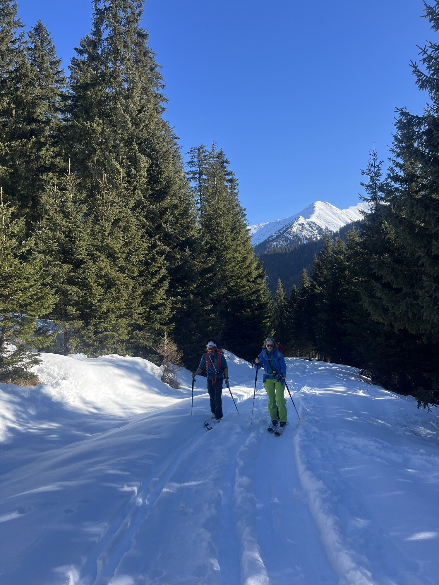
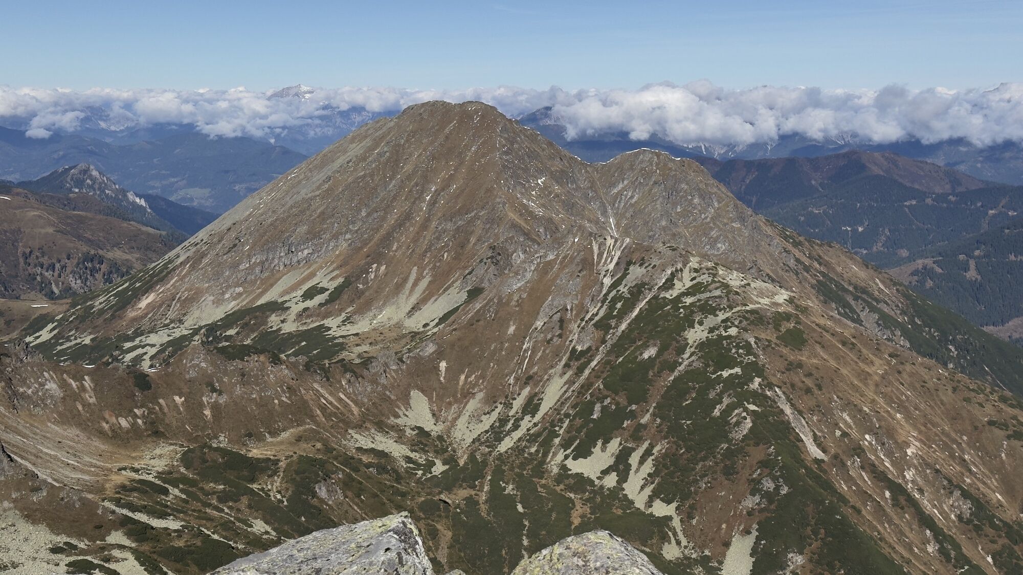
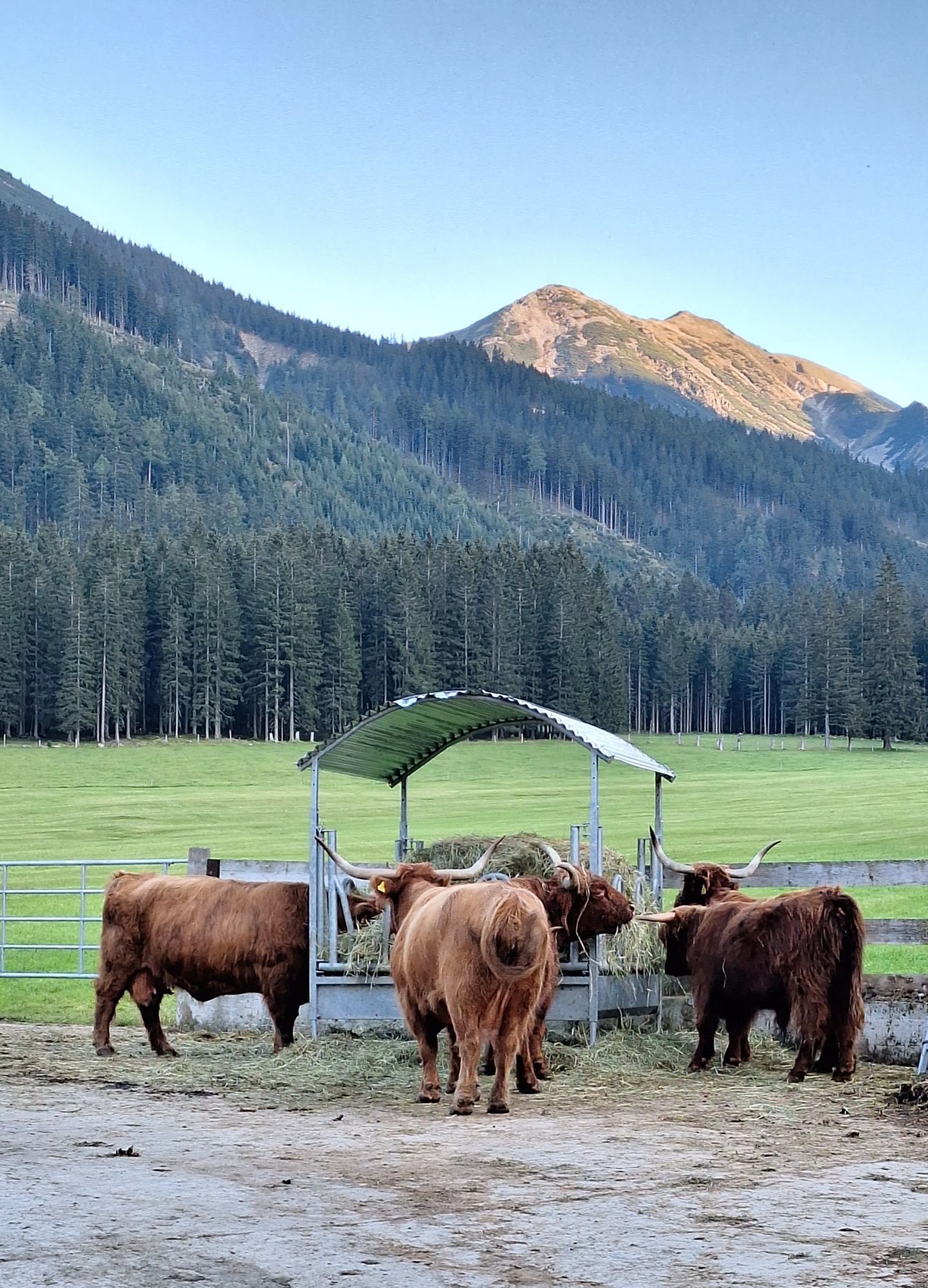
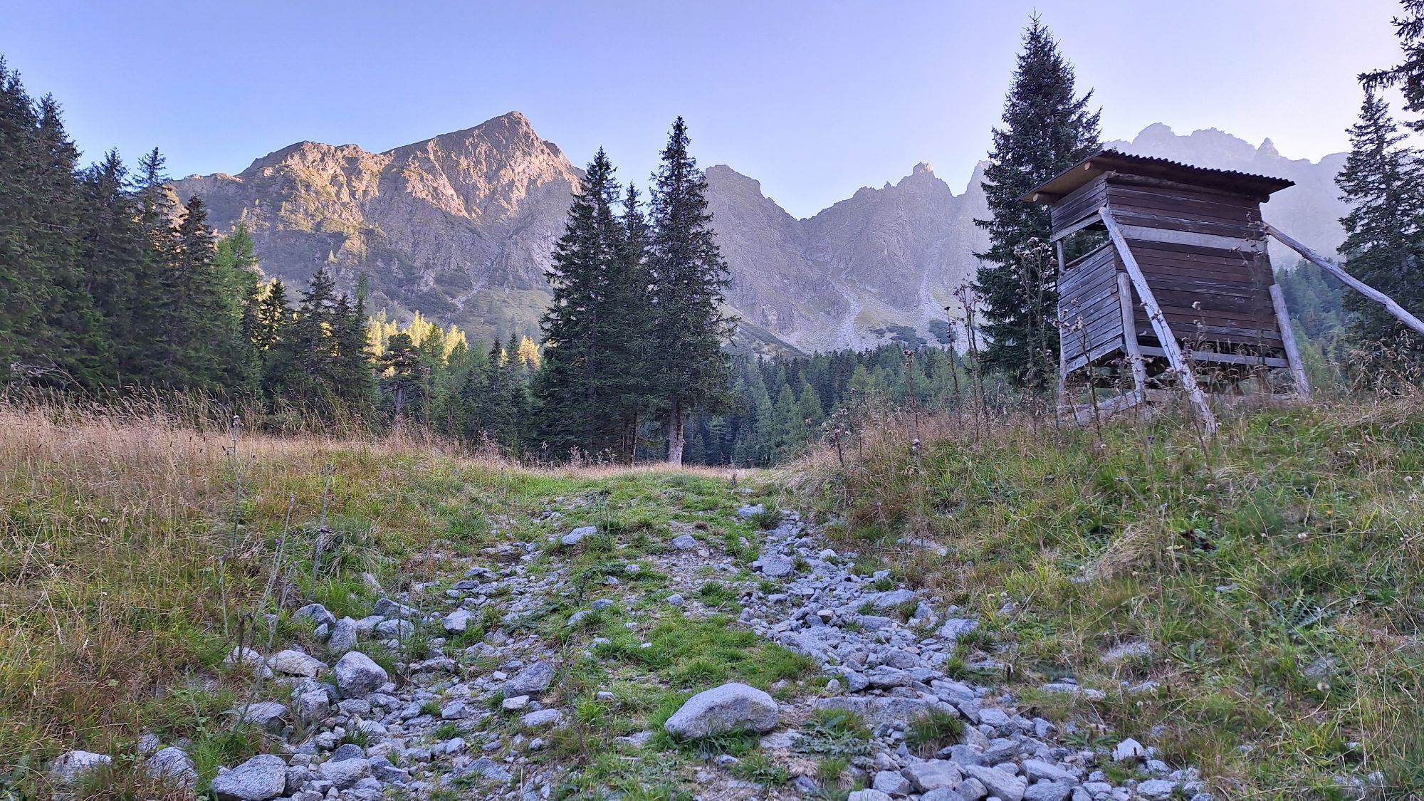
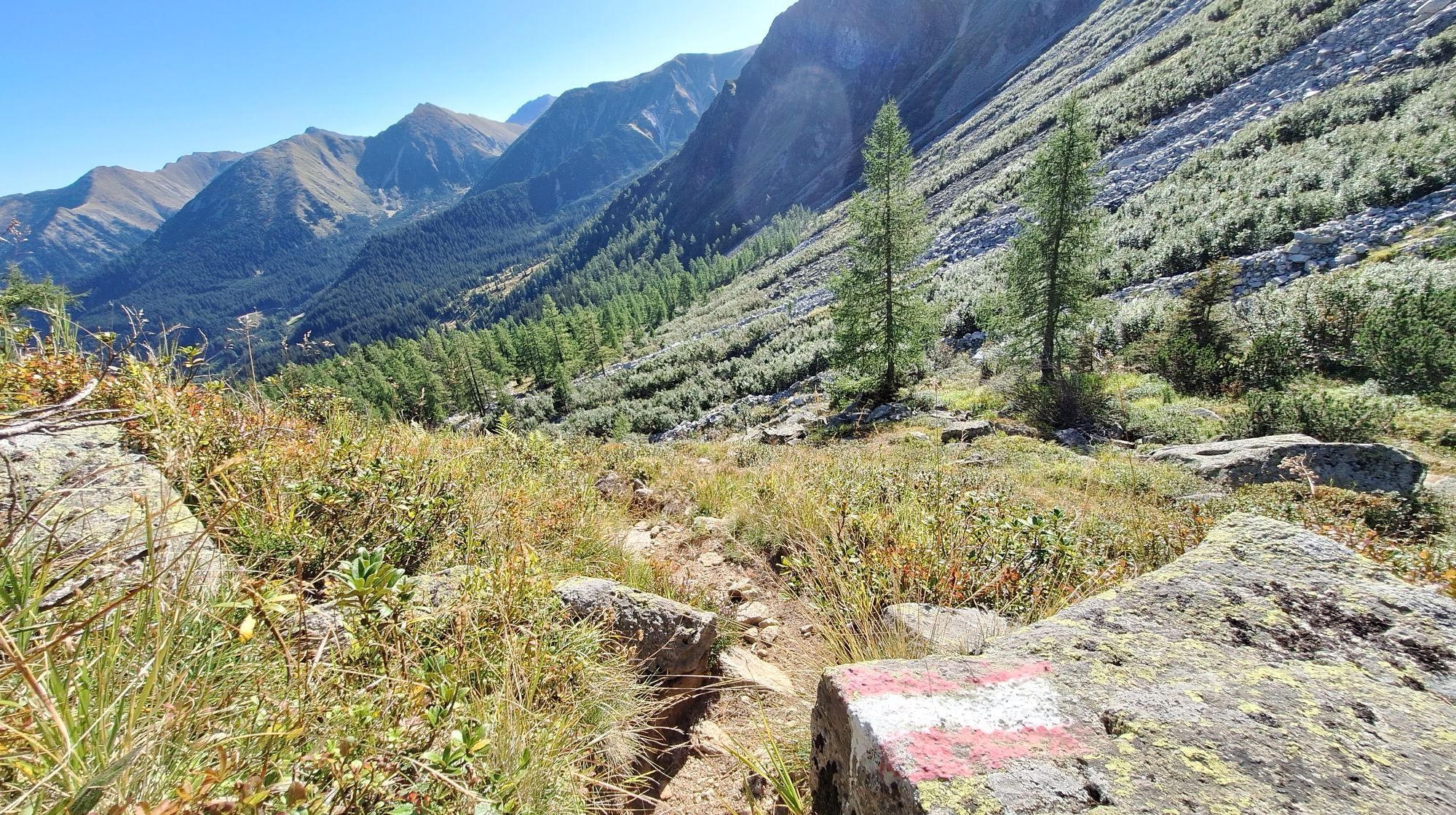
Starting point of the tour is the paid car park (EUR 5 for a day ticket as of 2023) of the managed hut, the Bergerhube, at the end of the road. From here follow the signs to Gamskögel. After you have left the Bergerhube behind you, hike along the Triebenbach on a moderately ascending forest road through a sparse forest. After 30 minutes the path turns into a narrow path in places which after another 15 minutes leads to a gravel road. Follow the gravel road for about 200 m (656 ft) before the red-white-red marked path leads again to the right into the forest. Now the path becomes a little steeper and after a few minutes leads to the clearing around the Mödringhütte. If the weather conditions are good, you should also have a great view of the Gamskögel from here.
Past the "Königin" (Queen)
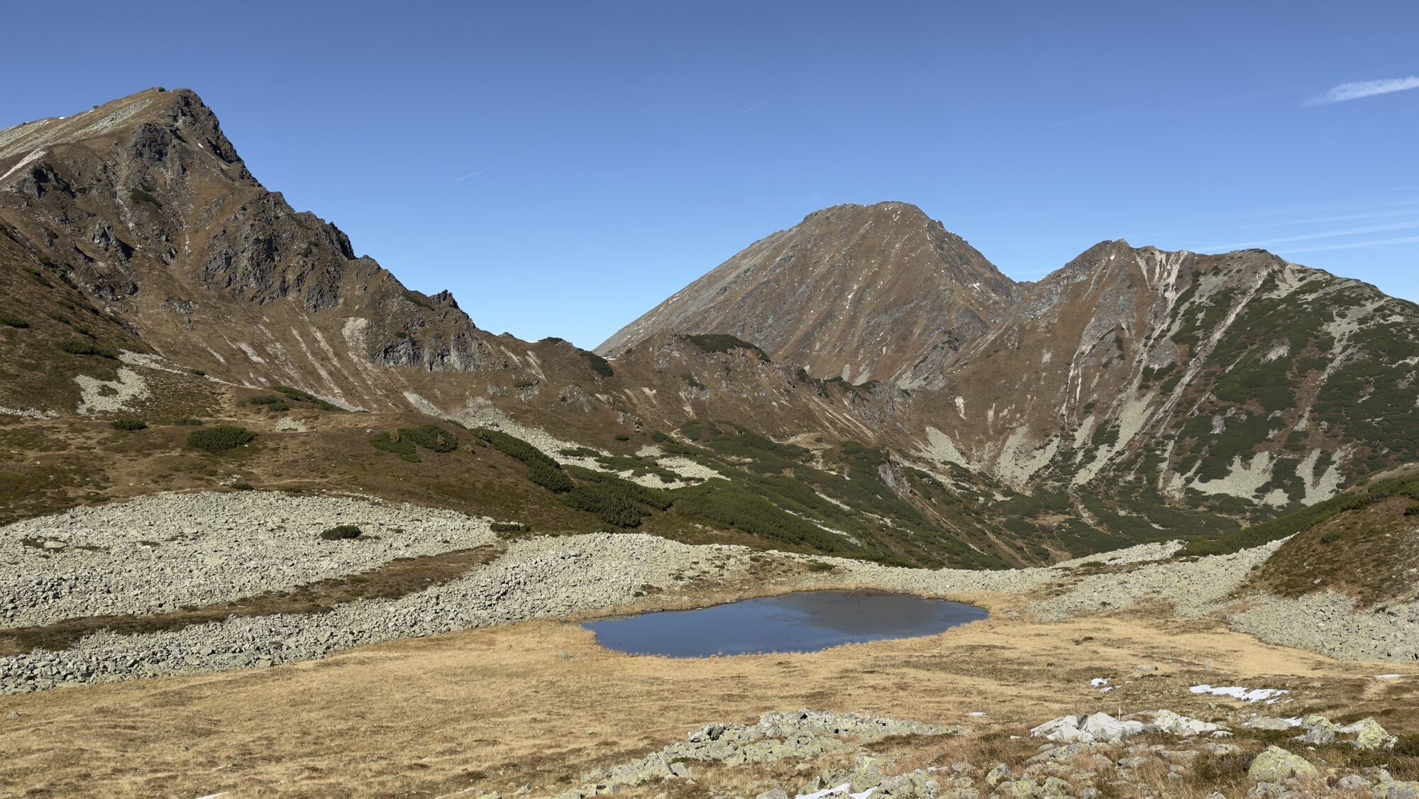
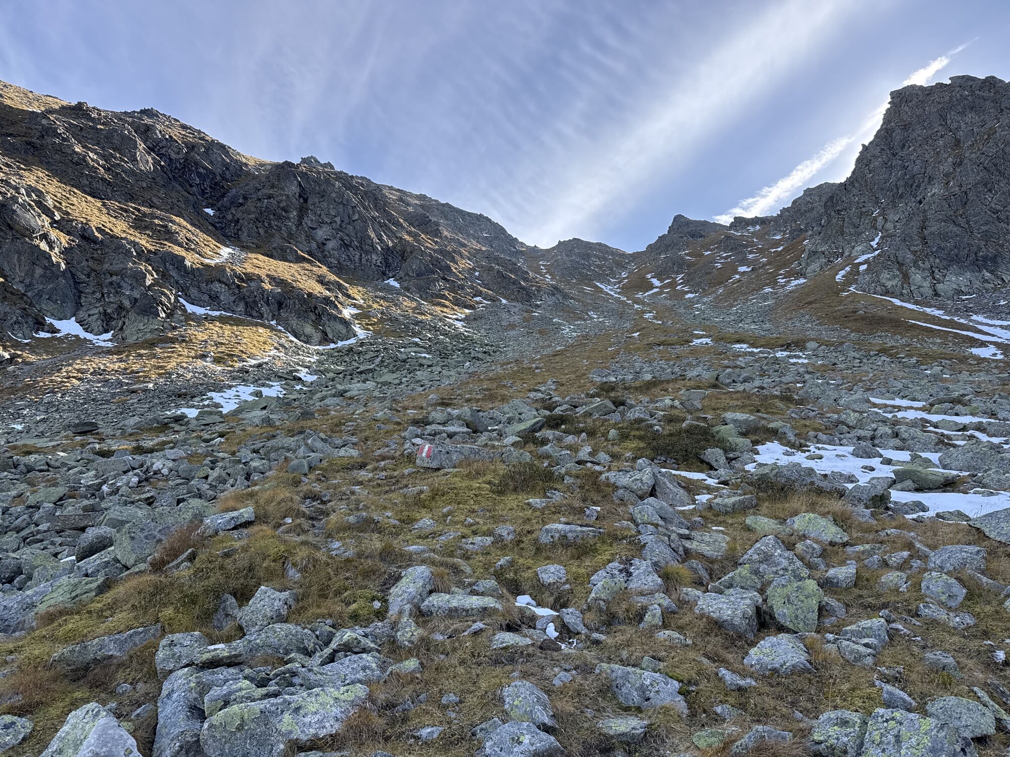
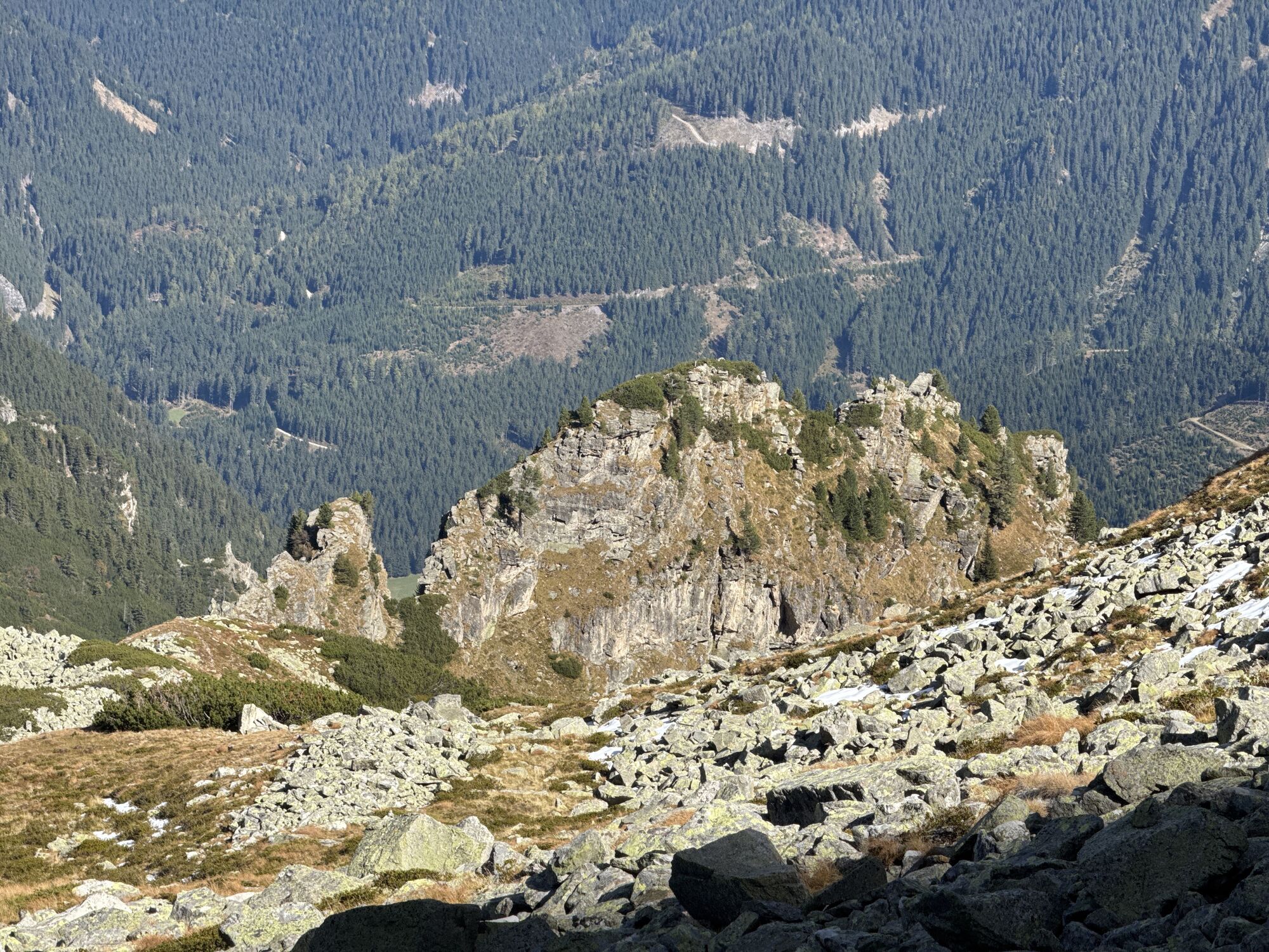
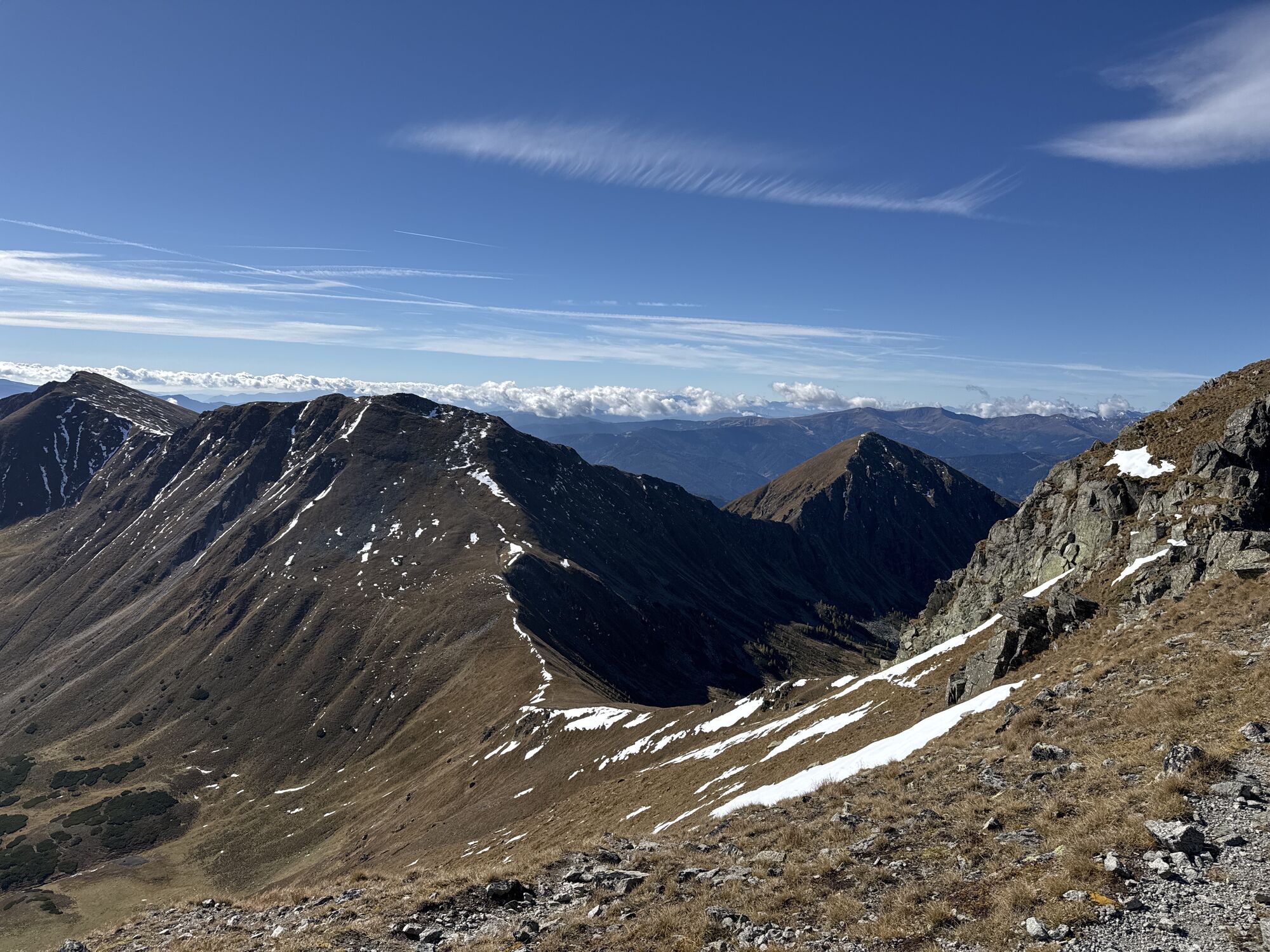
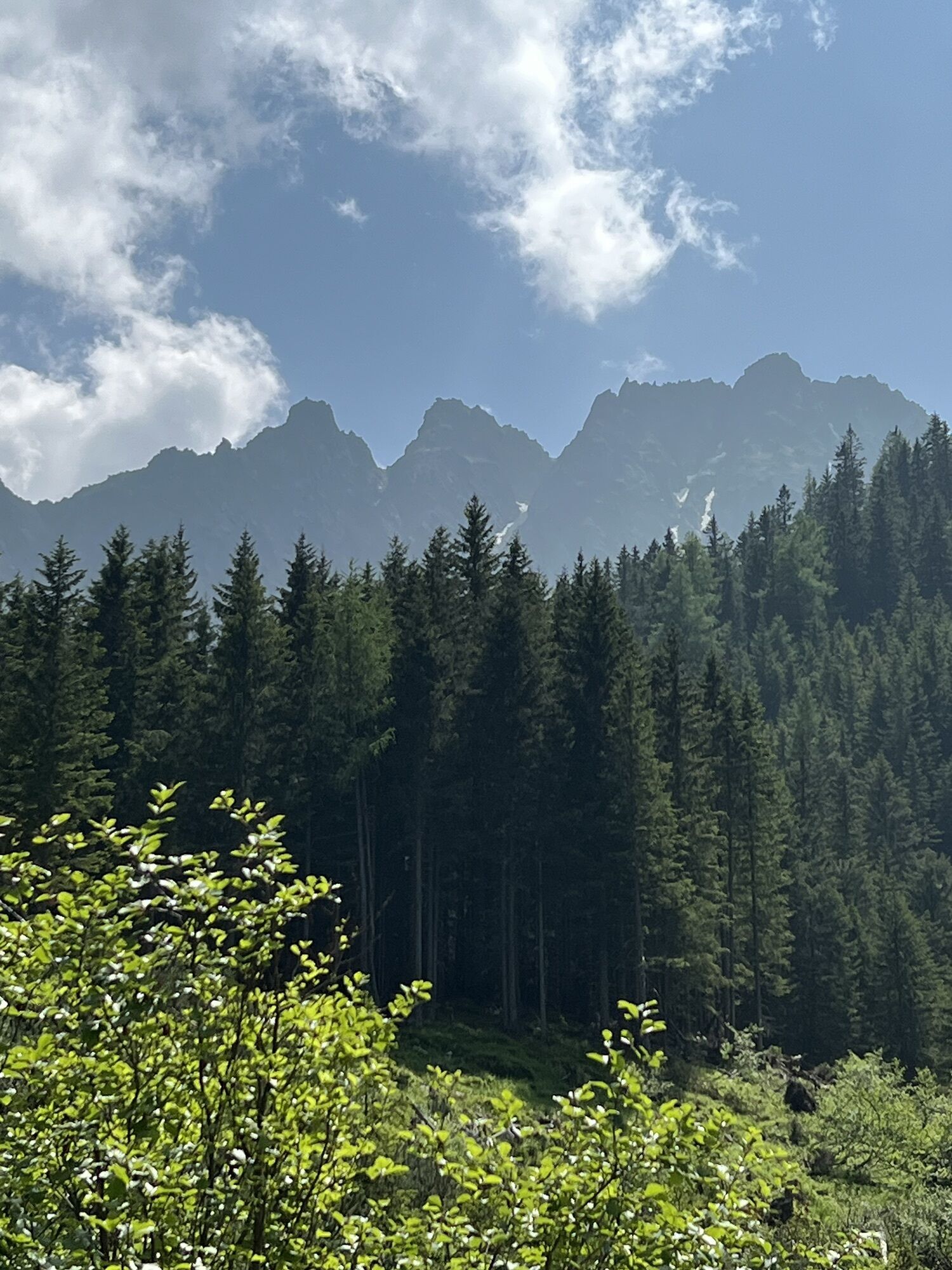
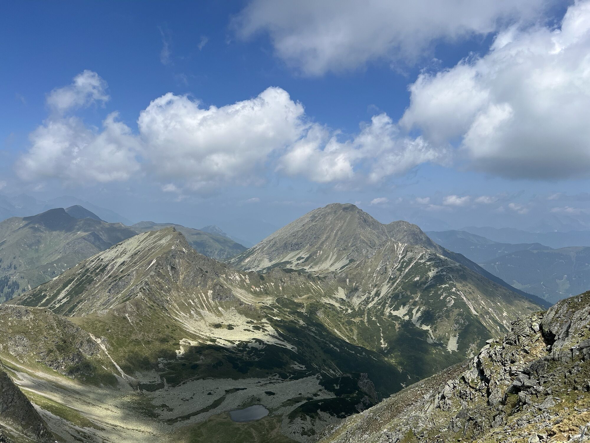
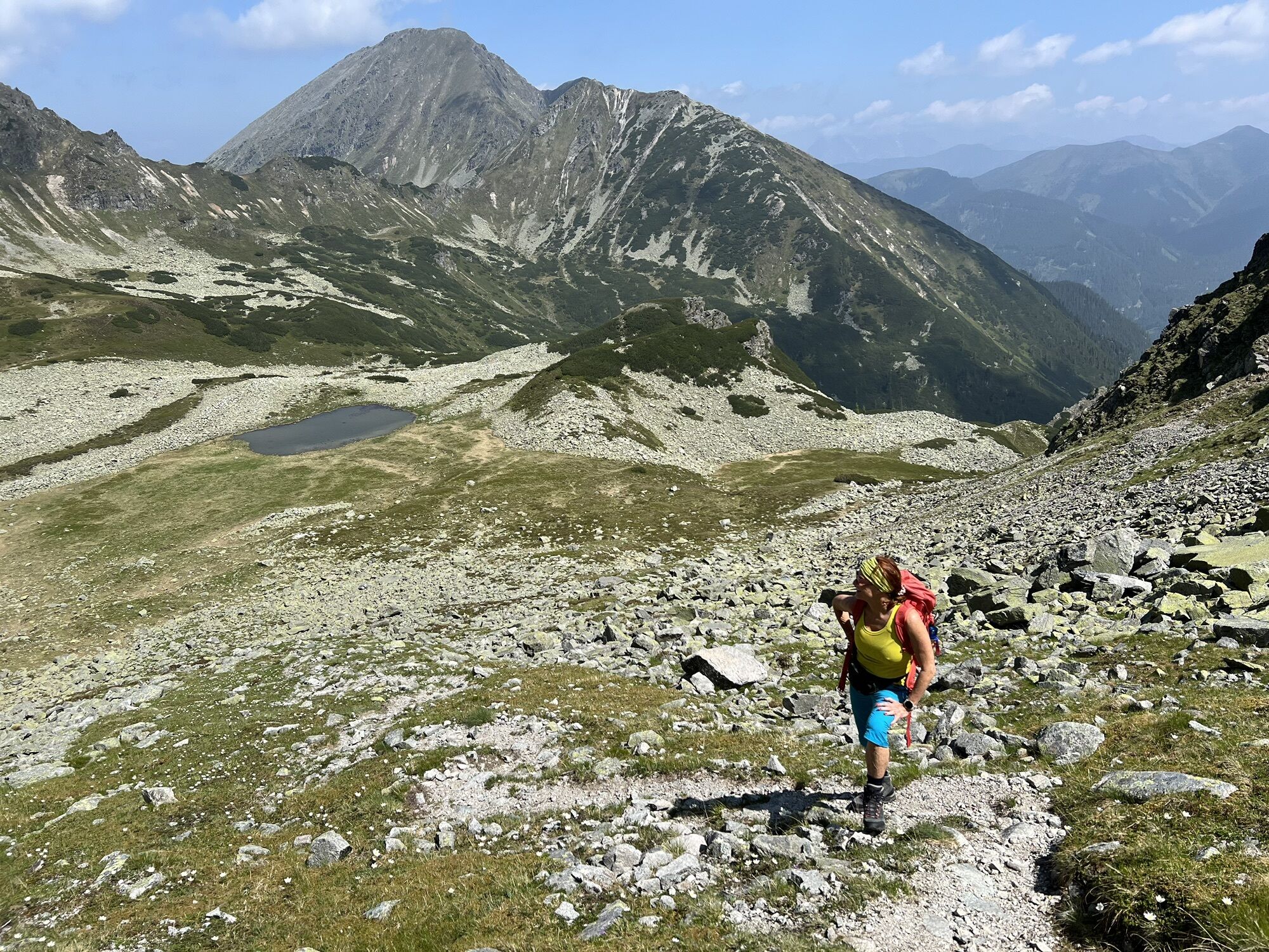
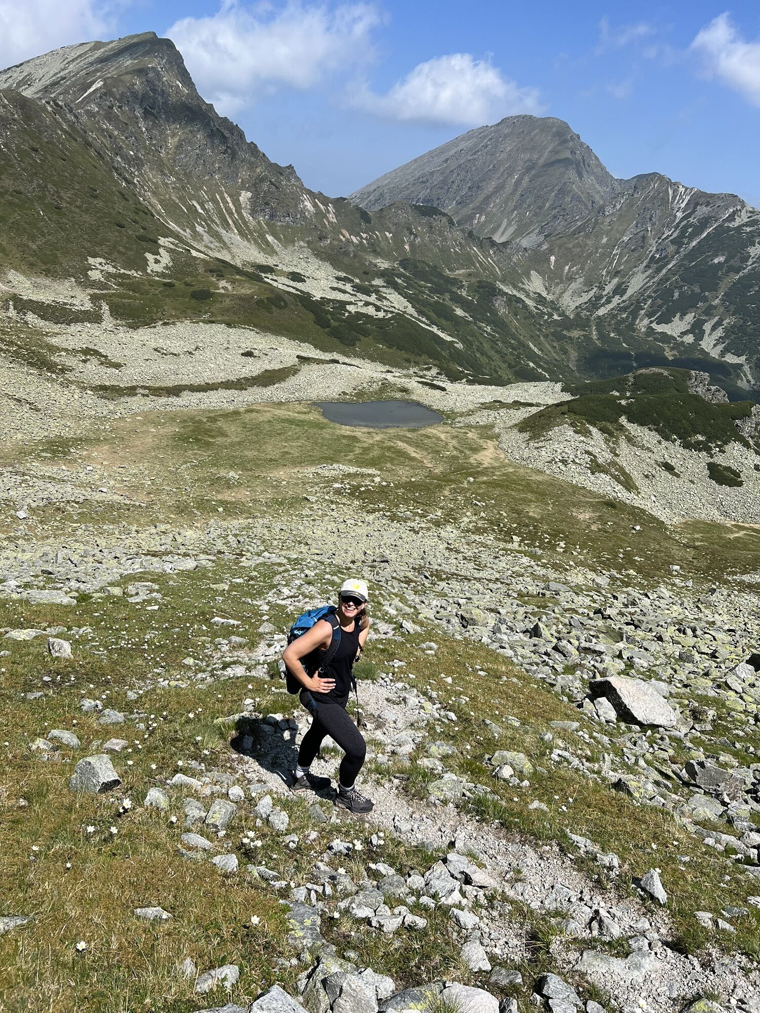
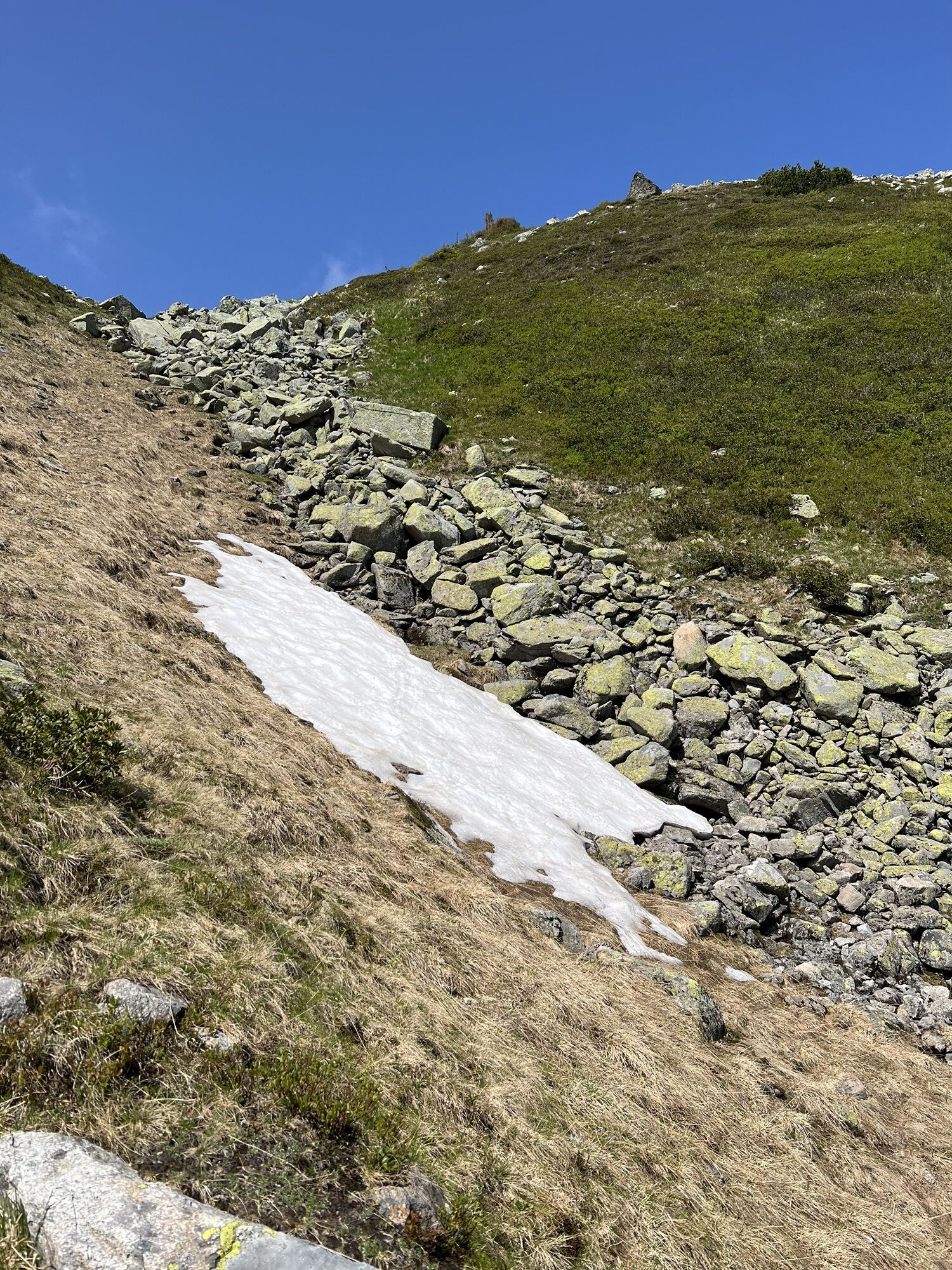
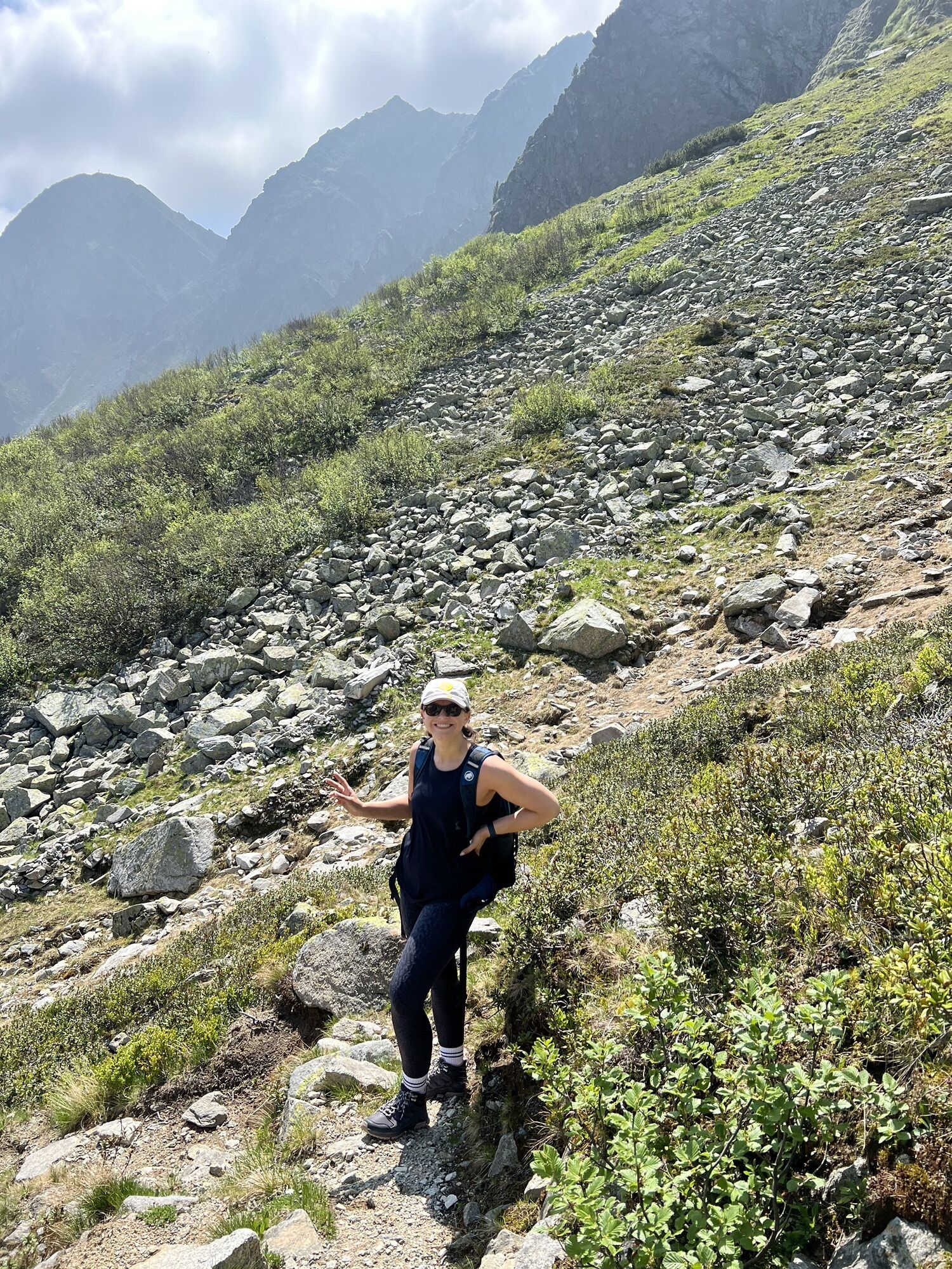
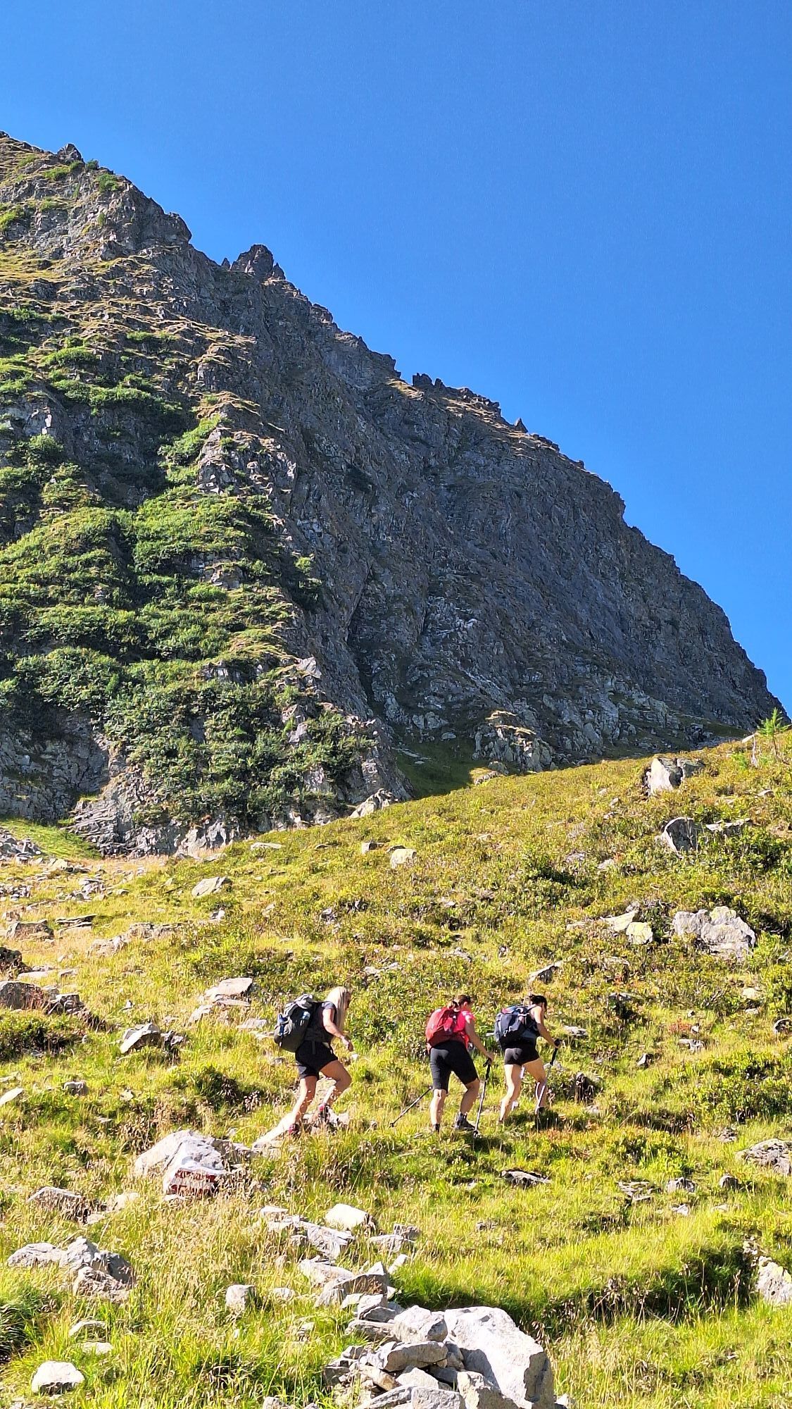
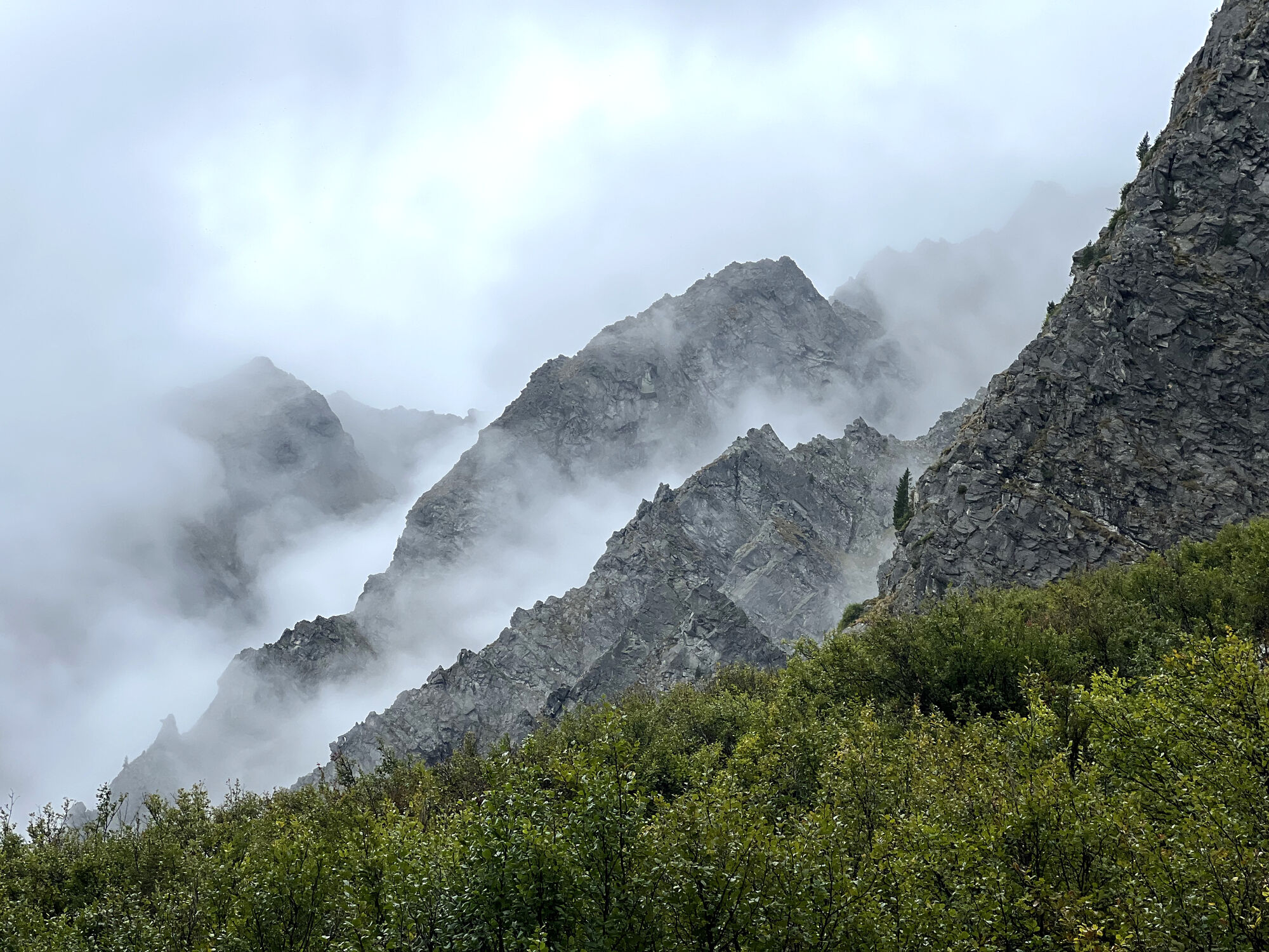
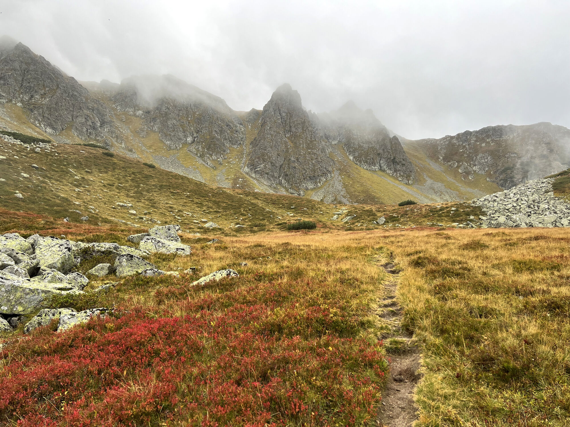
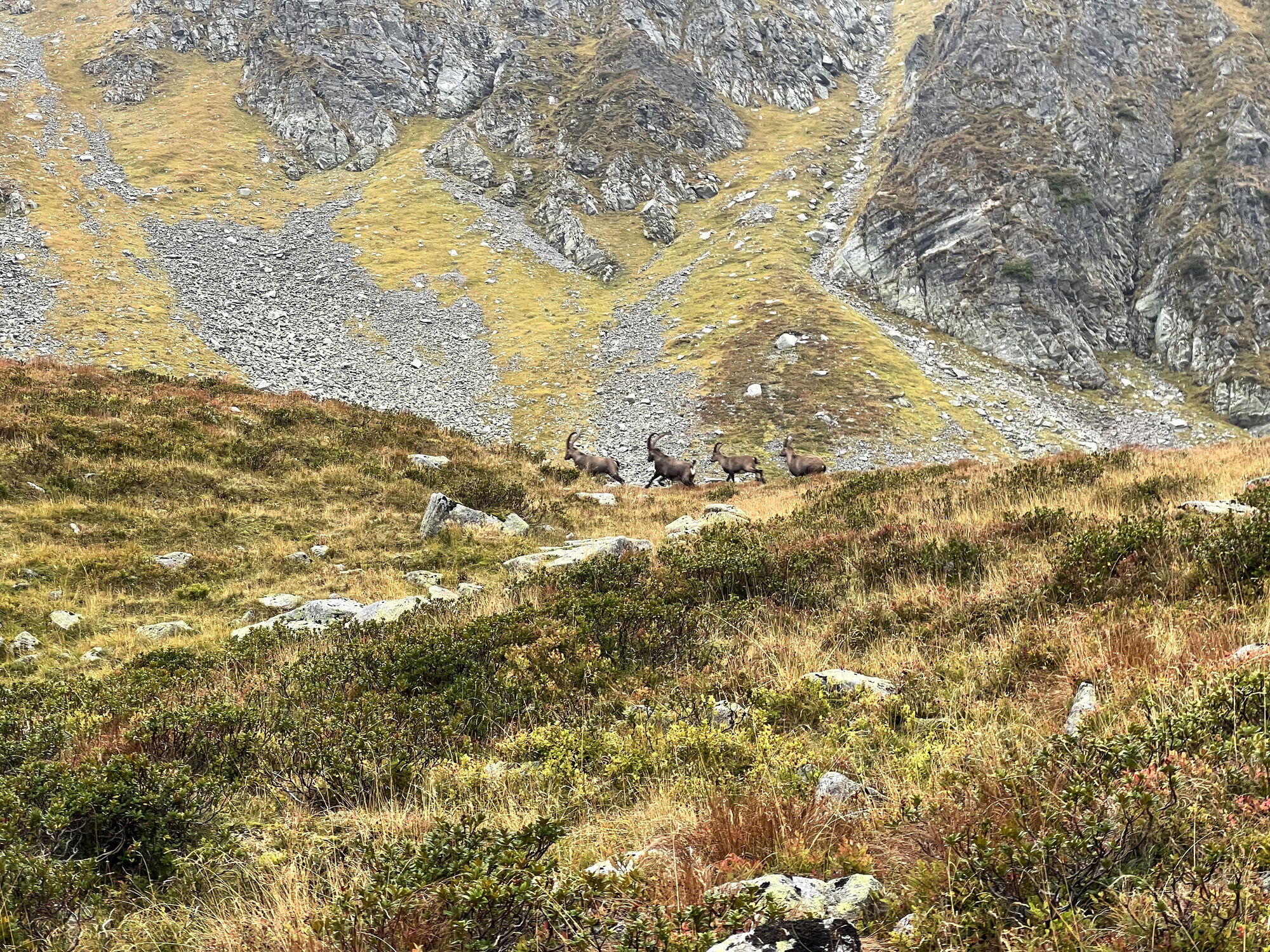
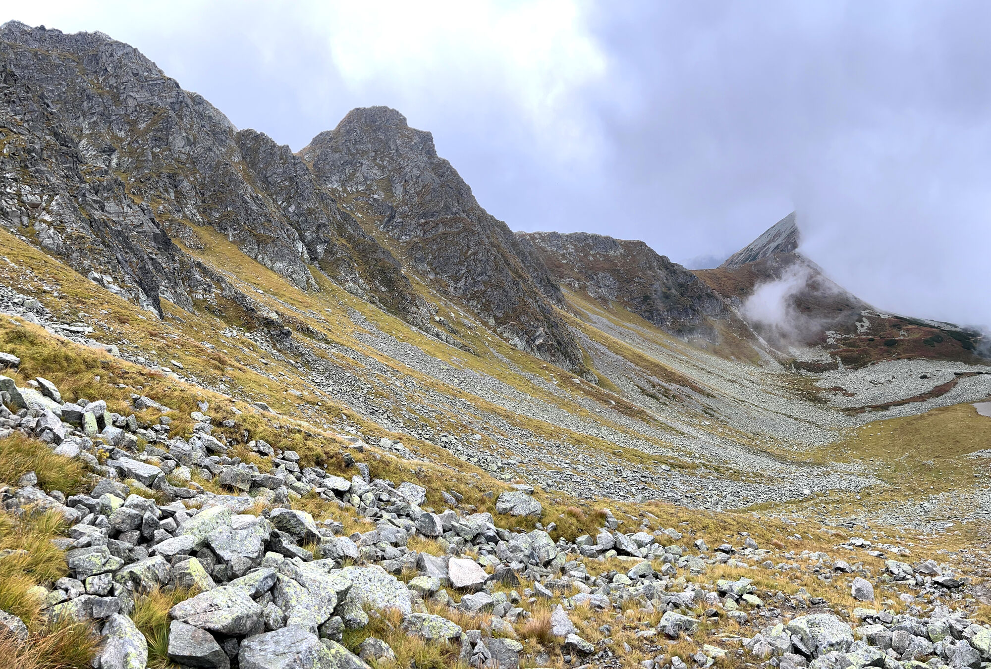
After about 3.4 km (2.1 mi) or around 1 hour you will reach a fork in the road. The R10 hiking trail leads to the right to the Knaudachtörl from where the Großer Grießstein can be tackled. To the left, the R11 hiking trail leads further up towards Gamskögel. The path initially leads along a small stream for a few meters before finally winding uphill through the forest. After another half hour you reach the foot of a small rocky outcrop called the “Königin” (Queen). The path leads past the Königin along gullies filled with rubble. The forest has now been replaced by mountain pine terrain and a sea of blueberry bushes. The view of the rugged rock formations on the northern flank of the Gamskögel proves to be particularly impressive. The path leads steadily upwards over terrain interspersed with scree. The gradient is still rather moderate and finding the way is not difficult thanks to numerous markings and obviously well-trodden paths. After just over 2 hours of walking and 5.4 km, an altitude of almost 2000 meters (6561 ft) is reached. The panorama is beautiful. For a short stretch it's almost flat. The ideal place to gain a little strength for the upcoming, noticeably steeper climb over terrain riddled with scree.
Steep climb to the gap
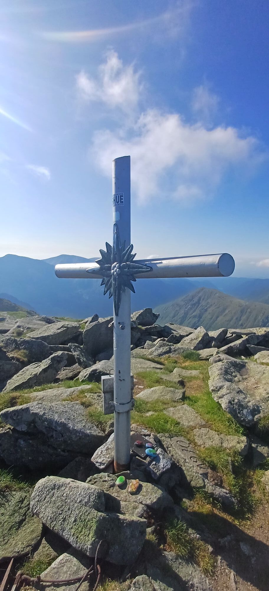
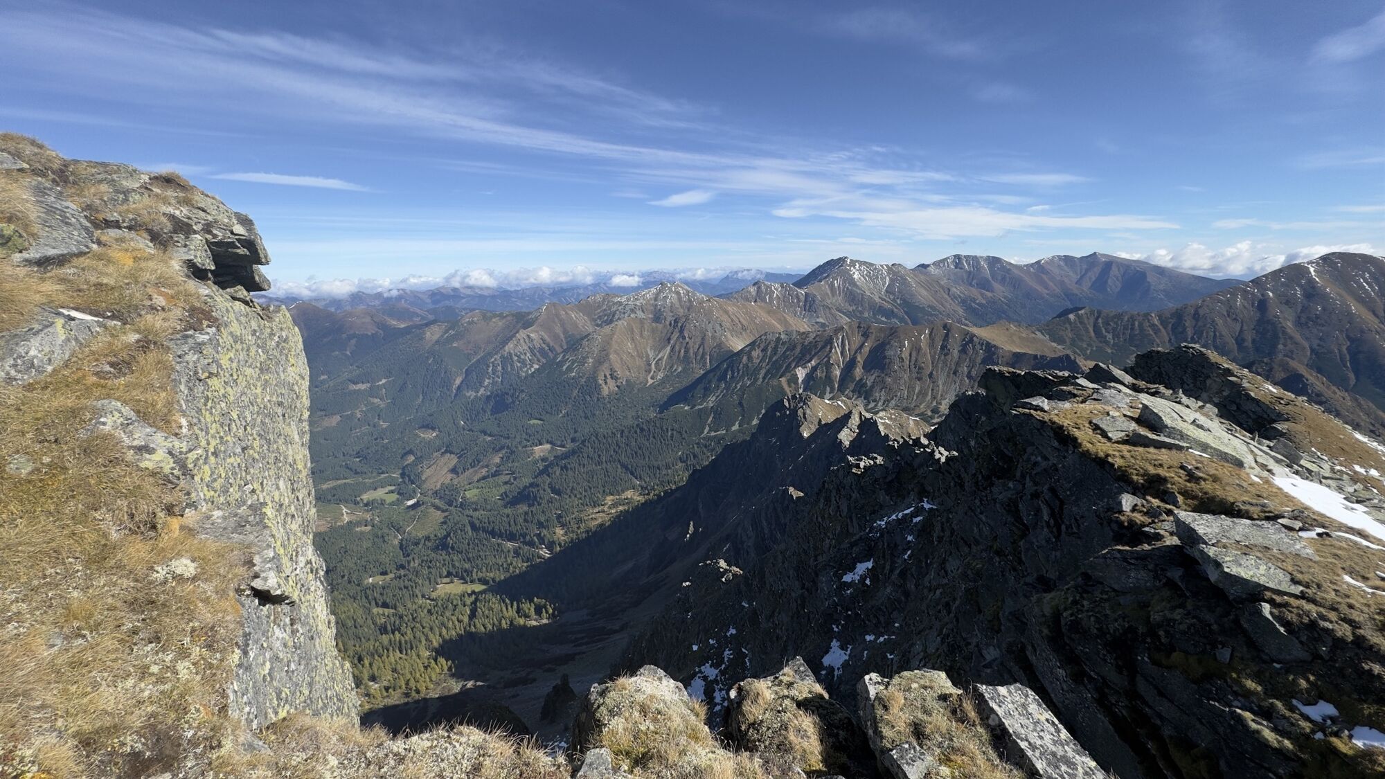
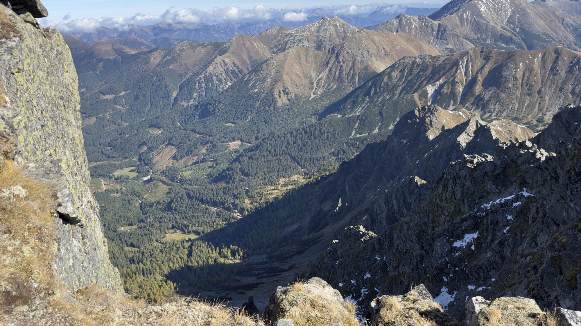
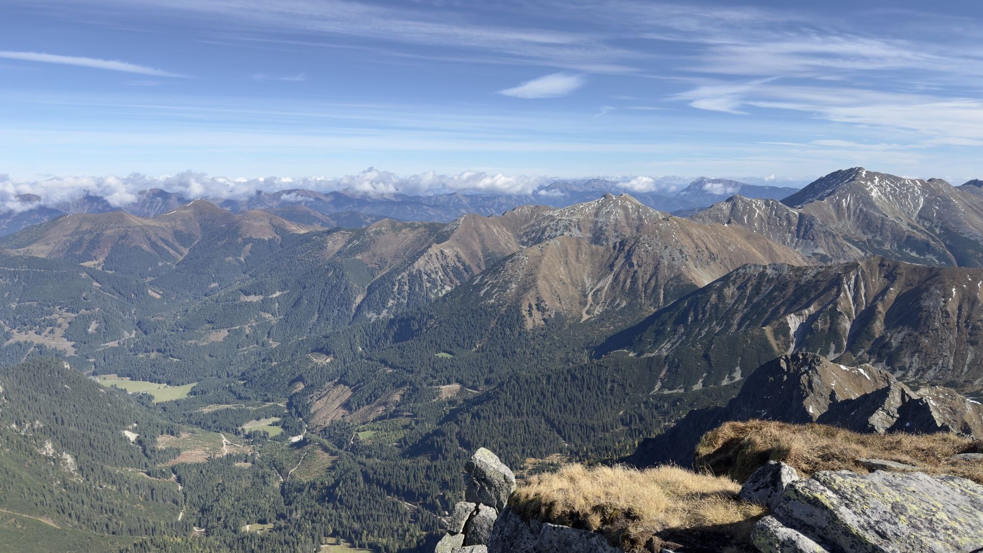
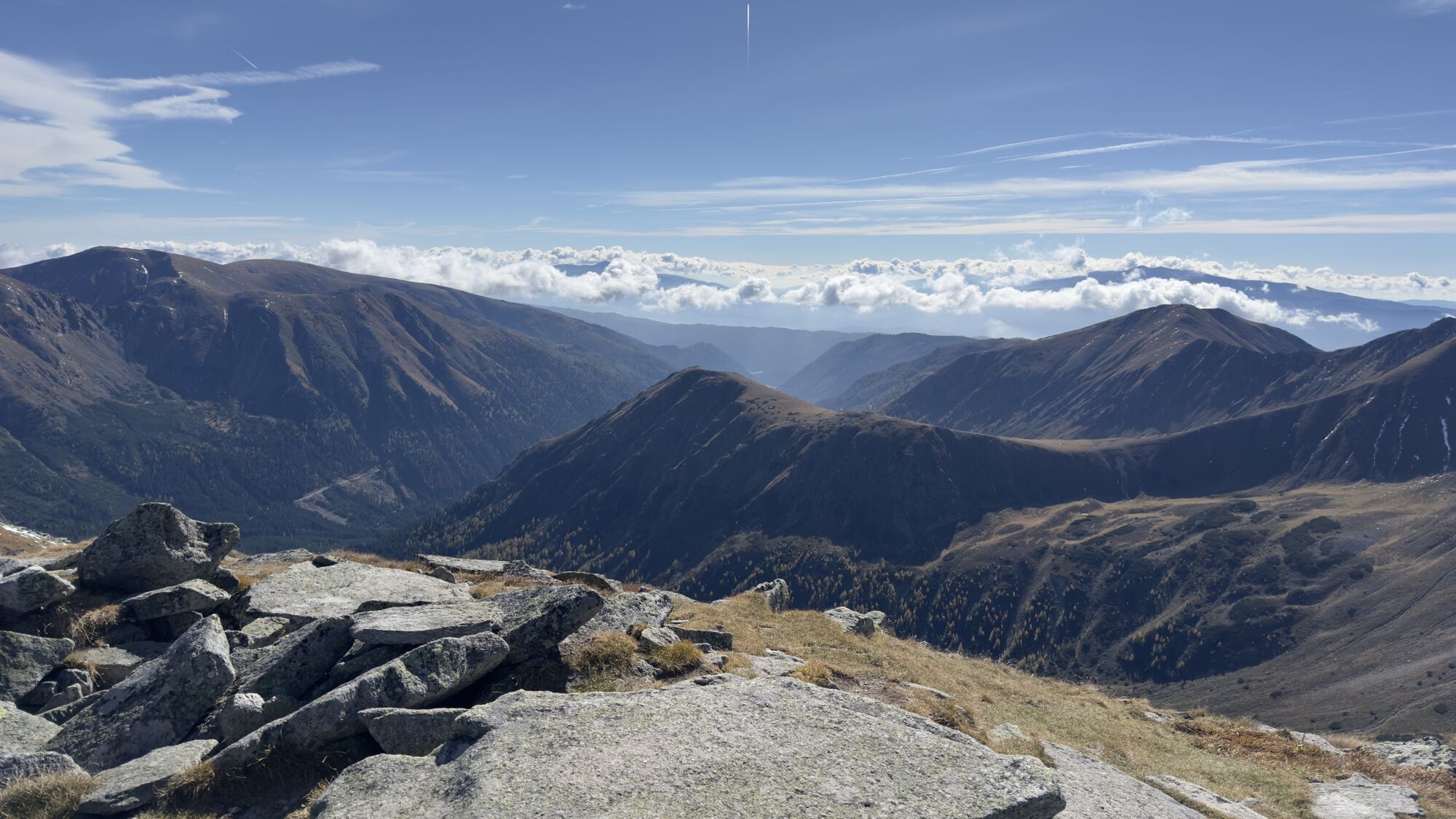
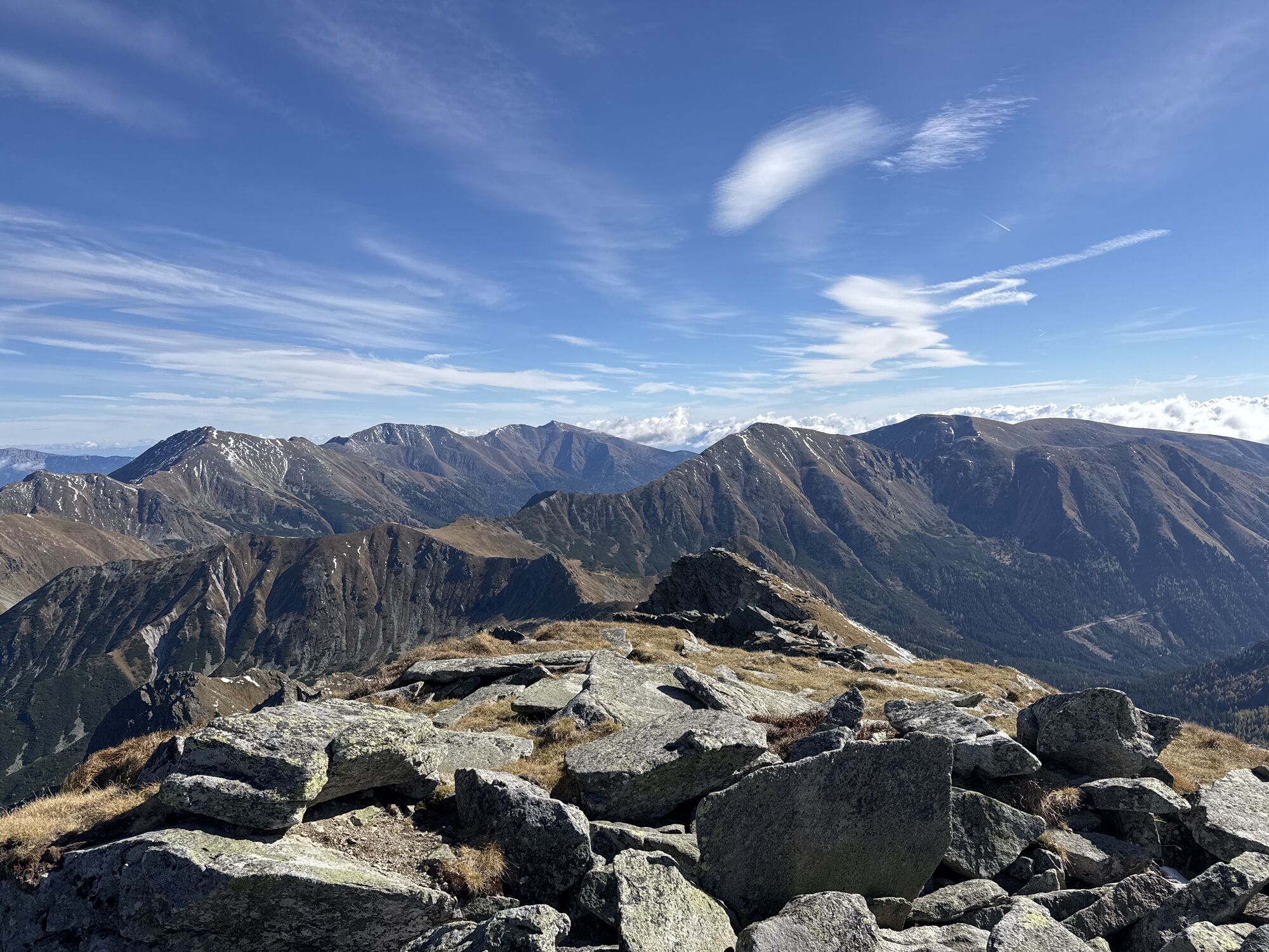
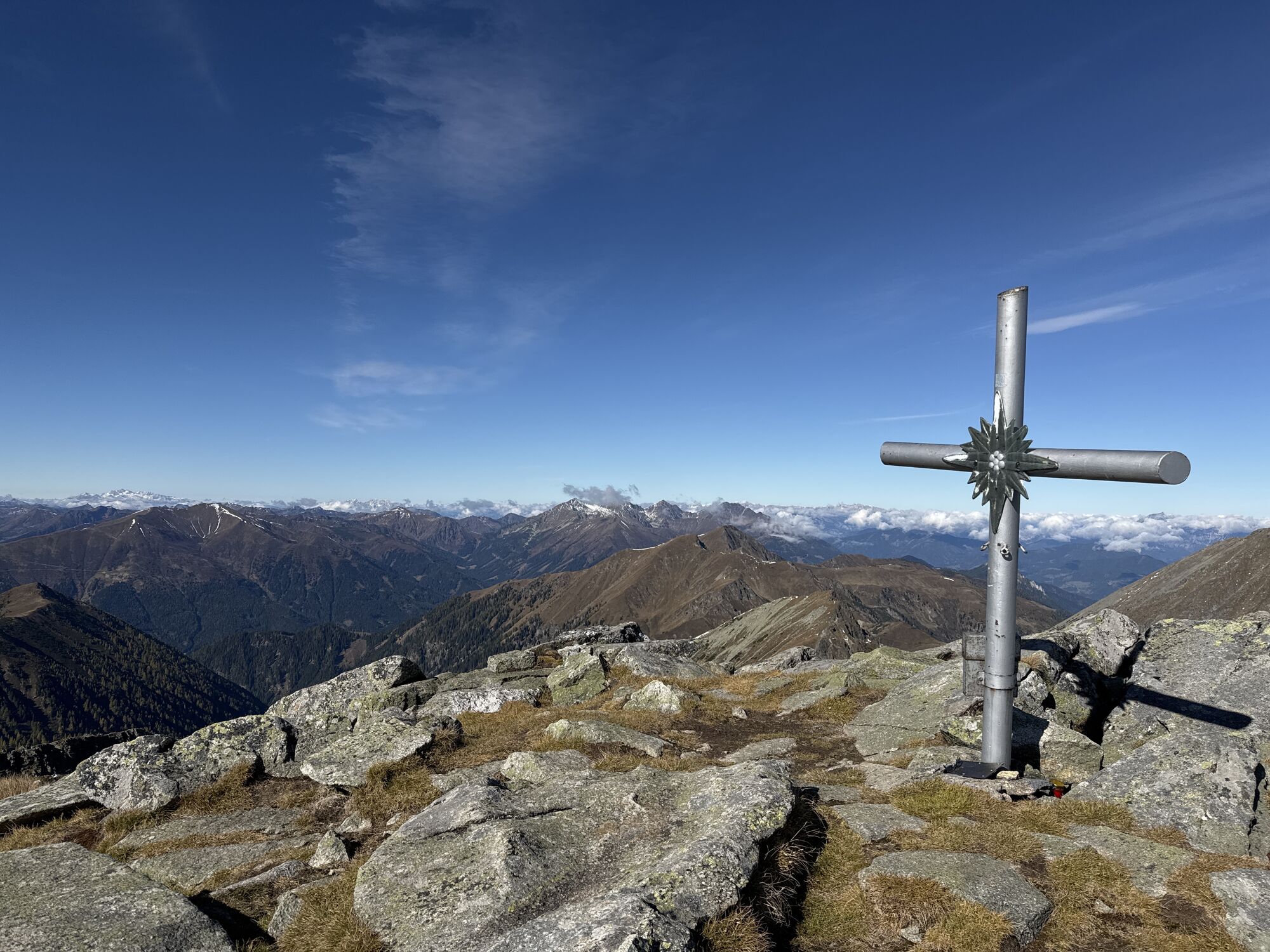
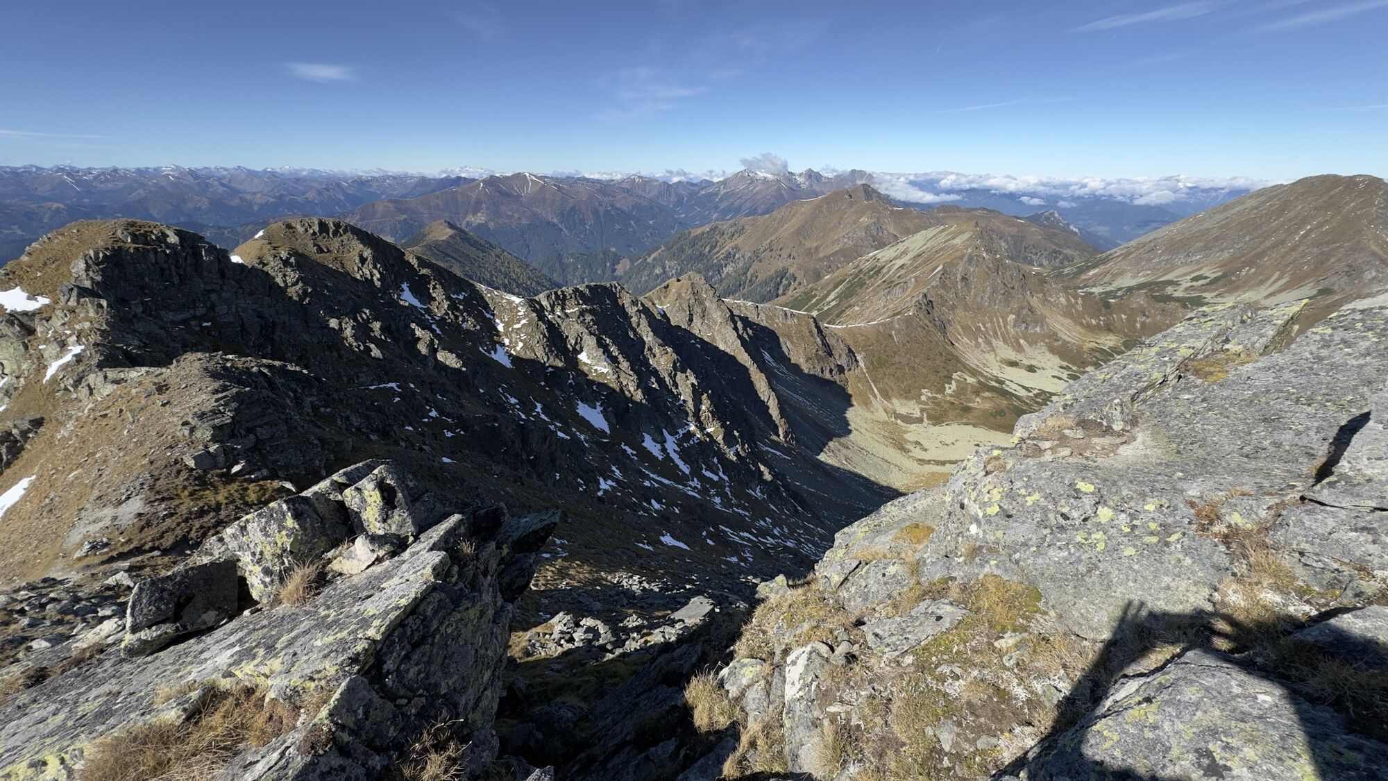
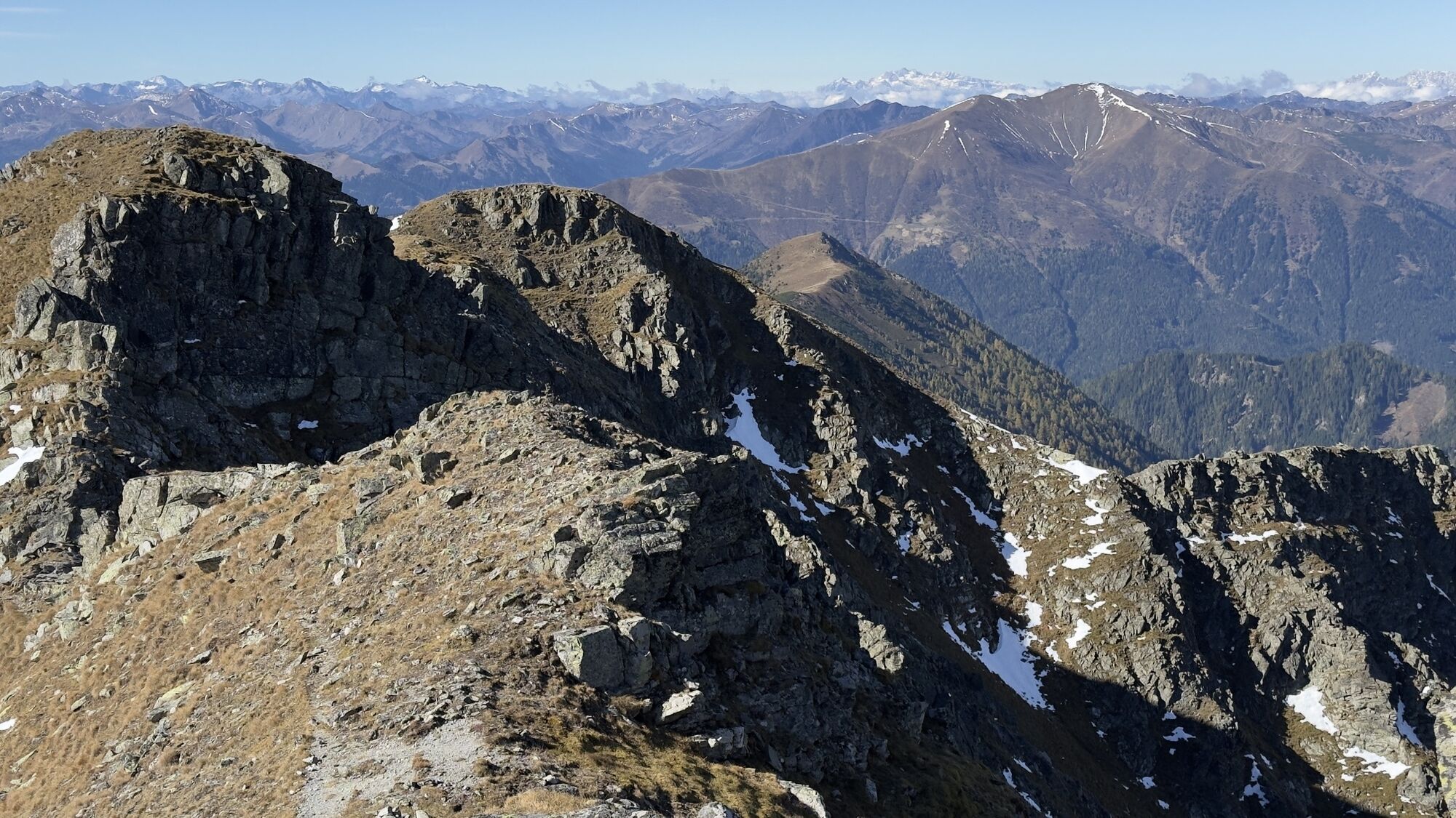
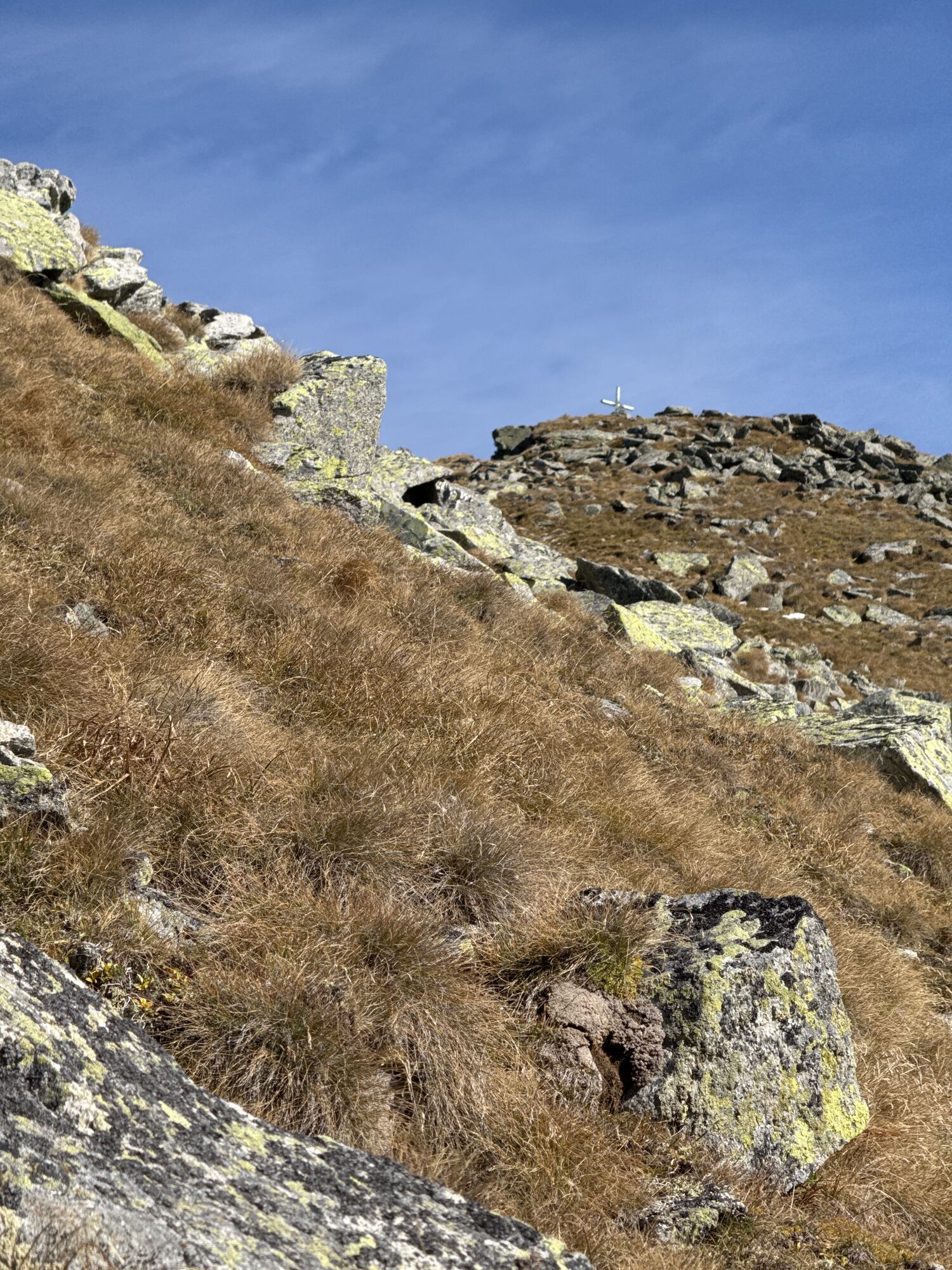
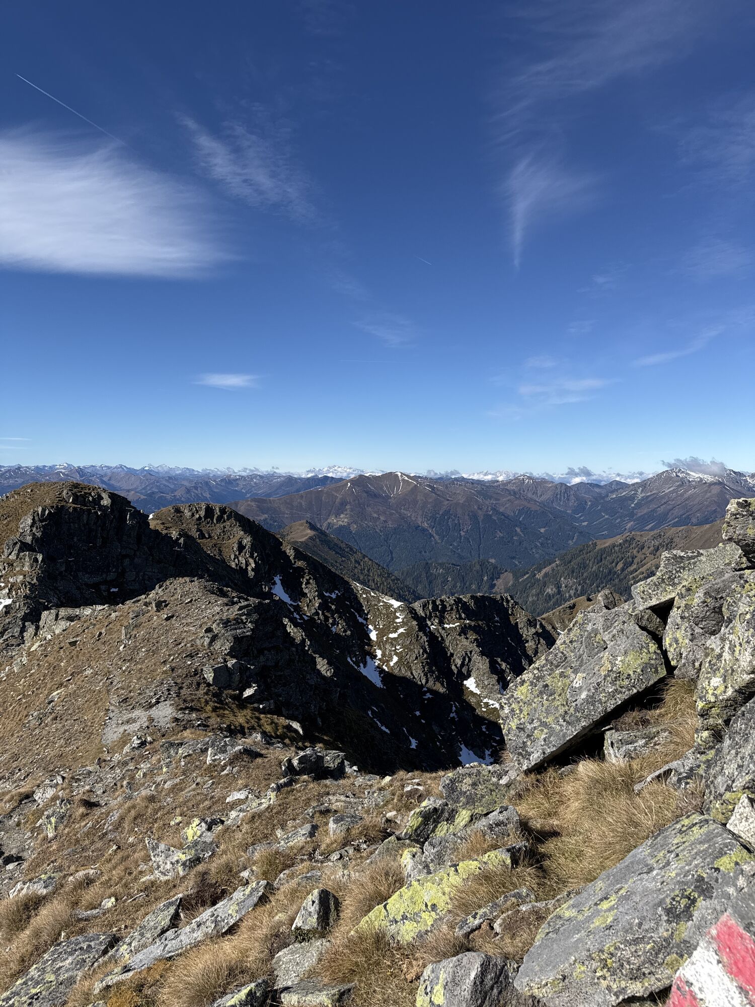
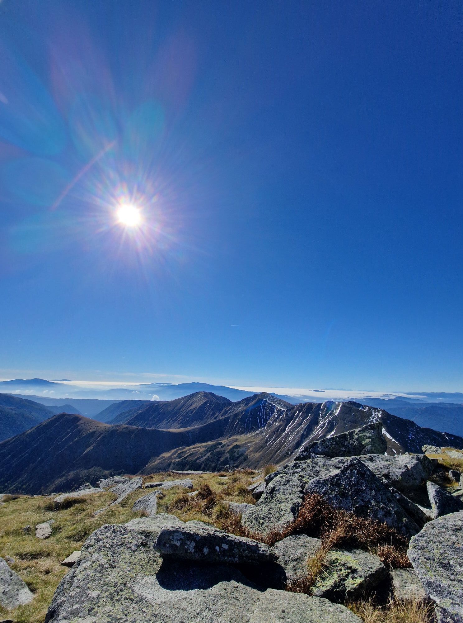
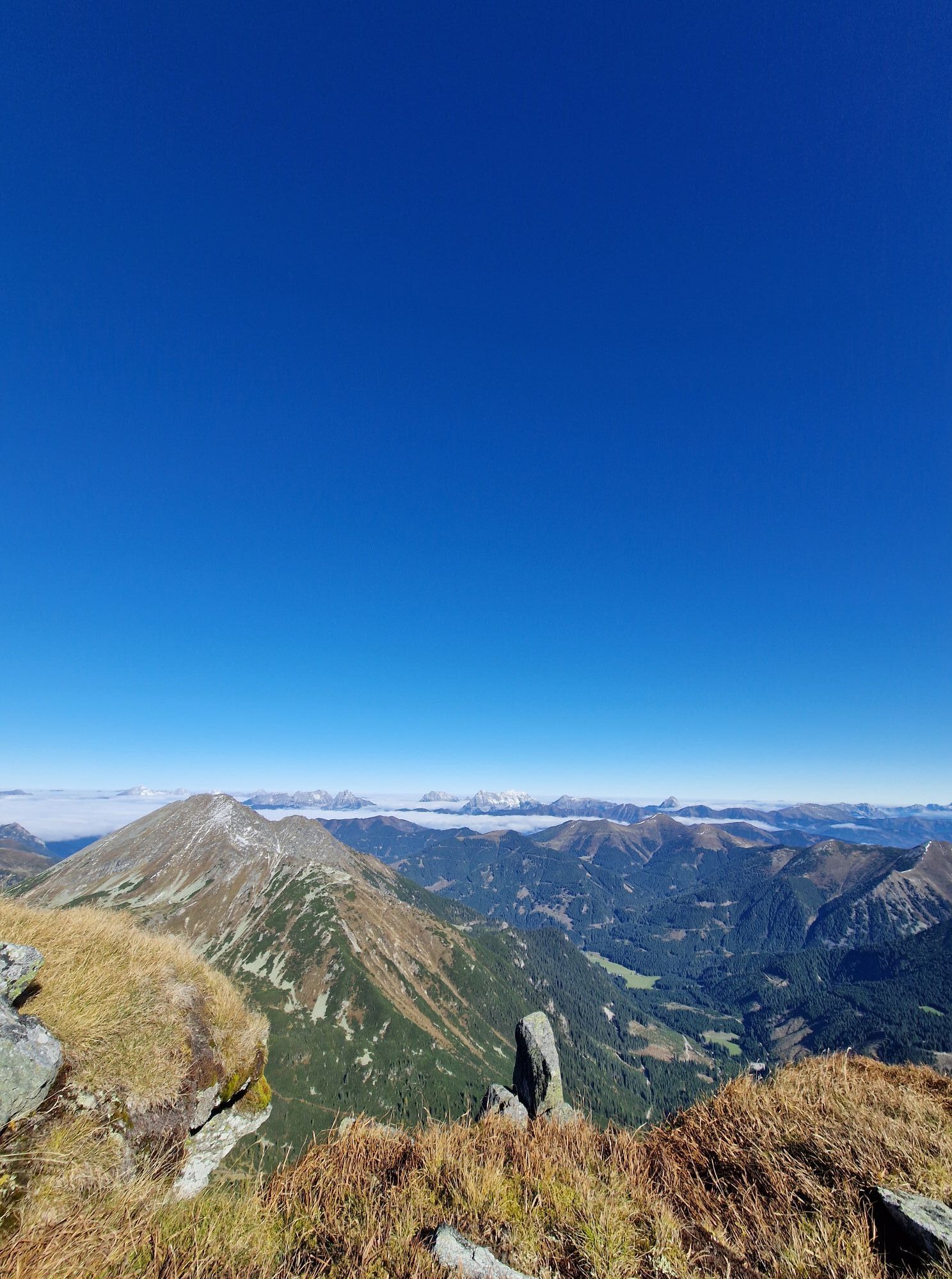
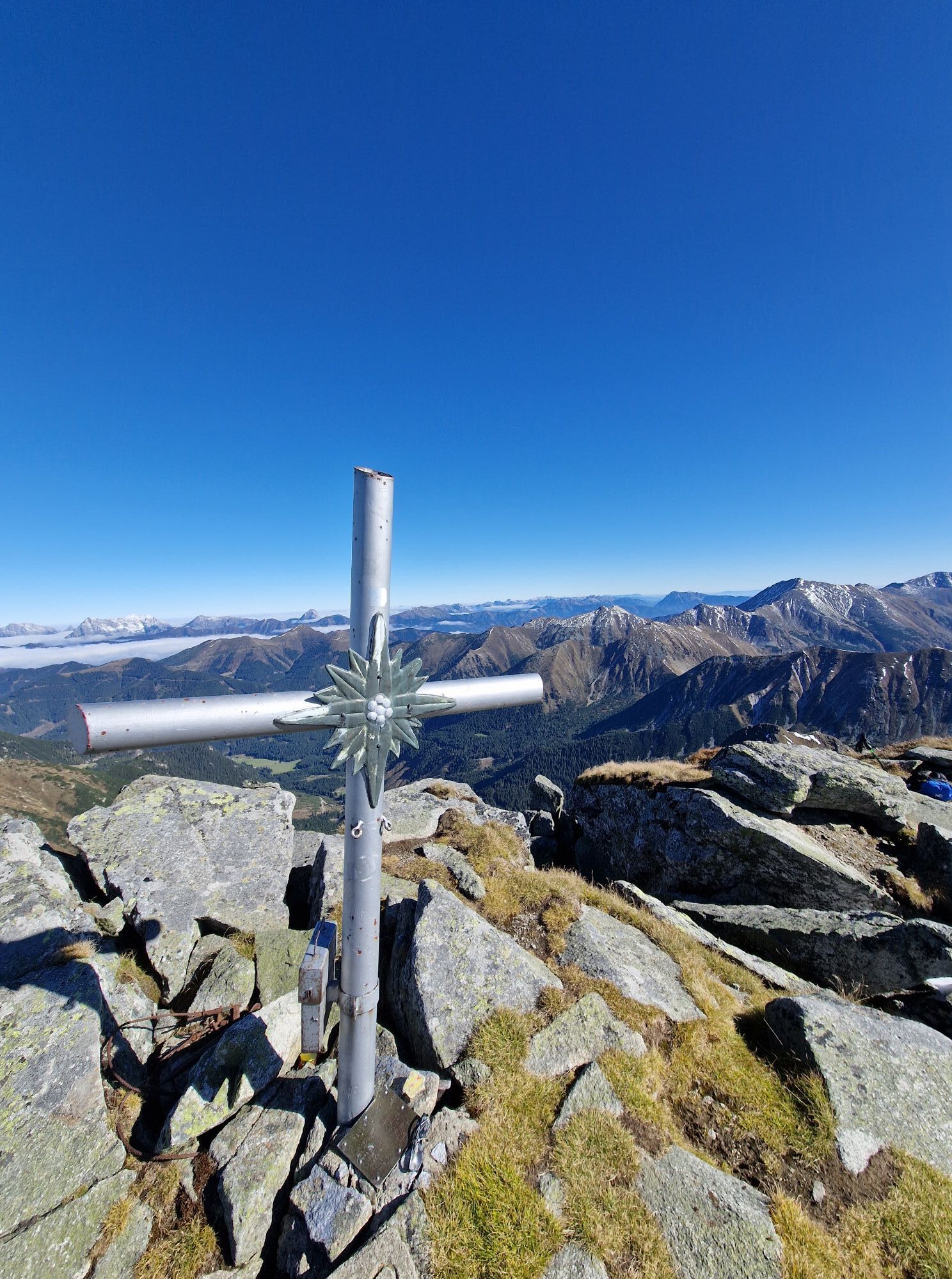
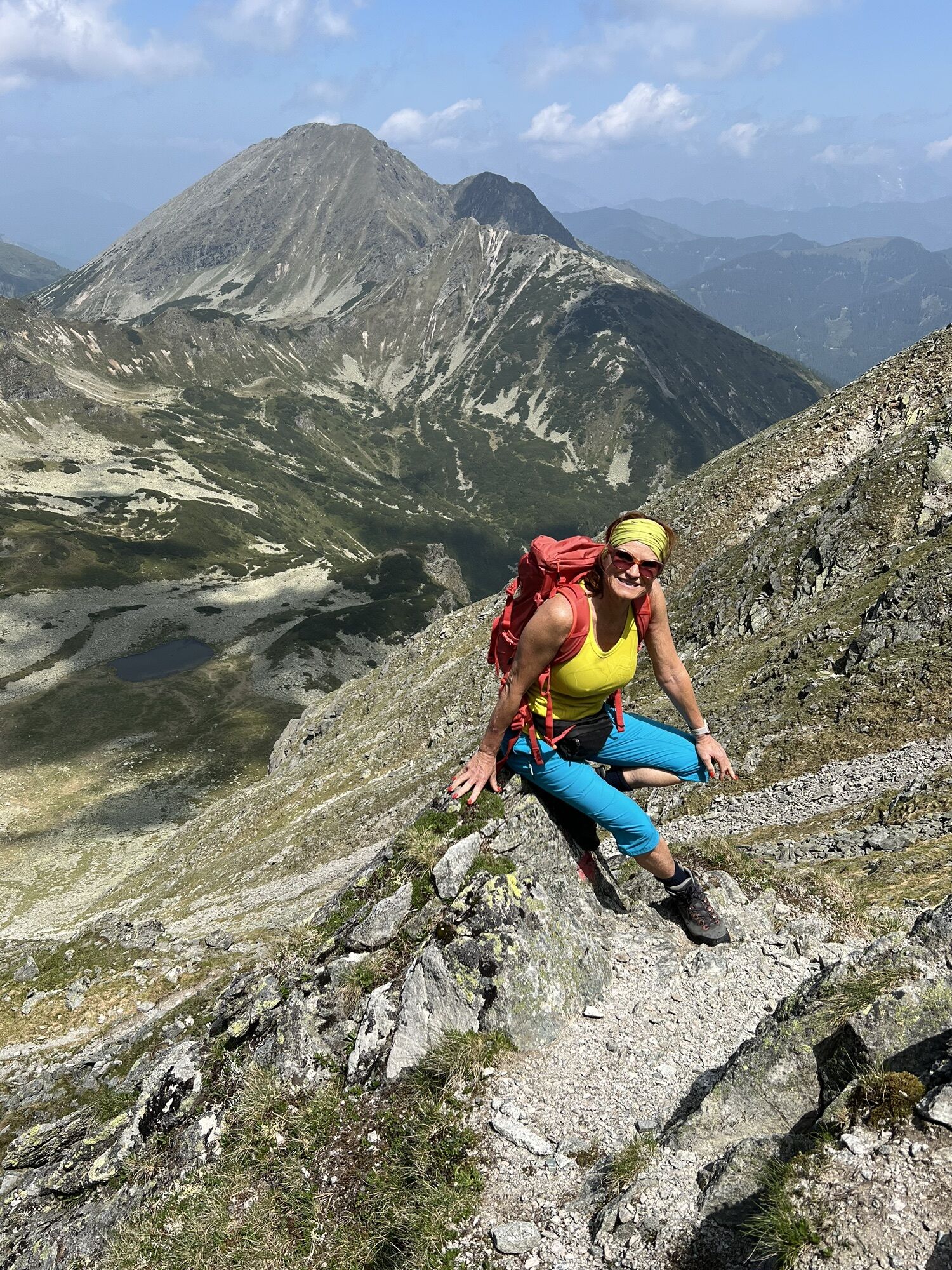
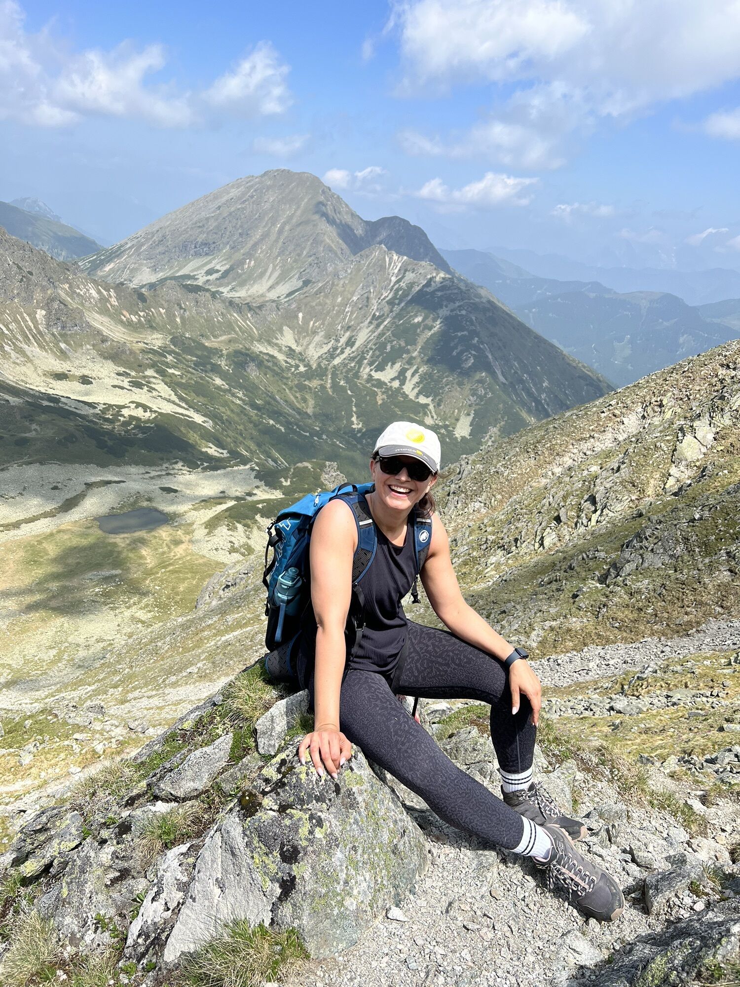
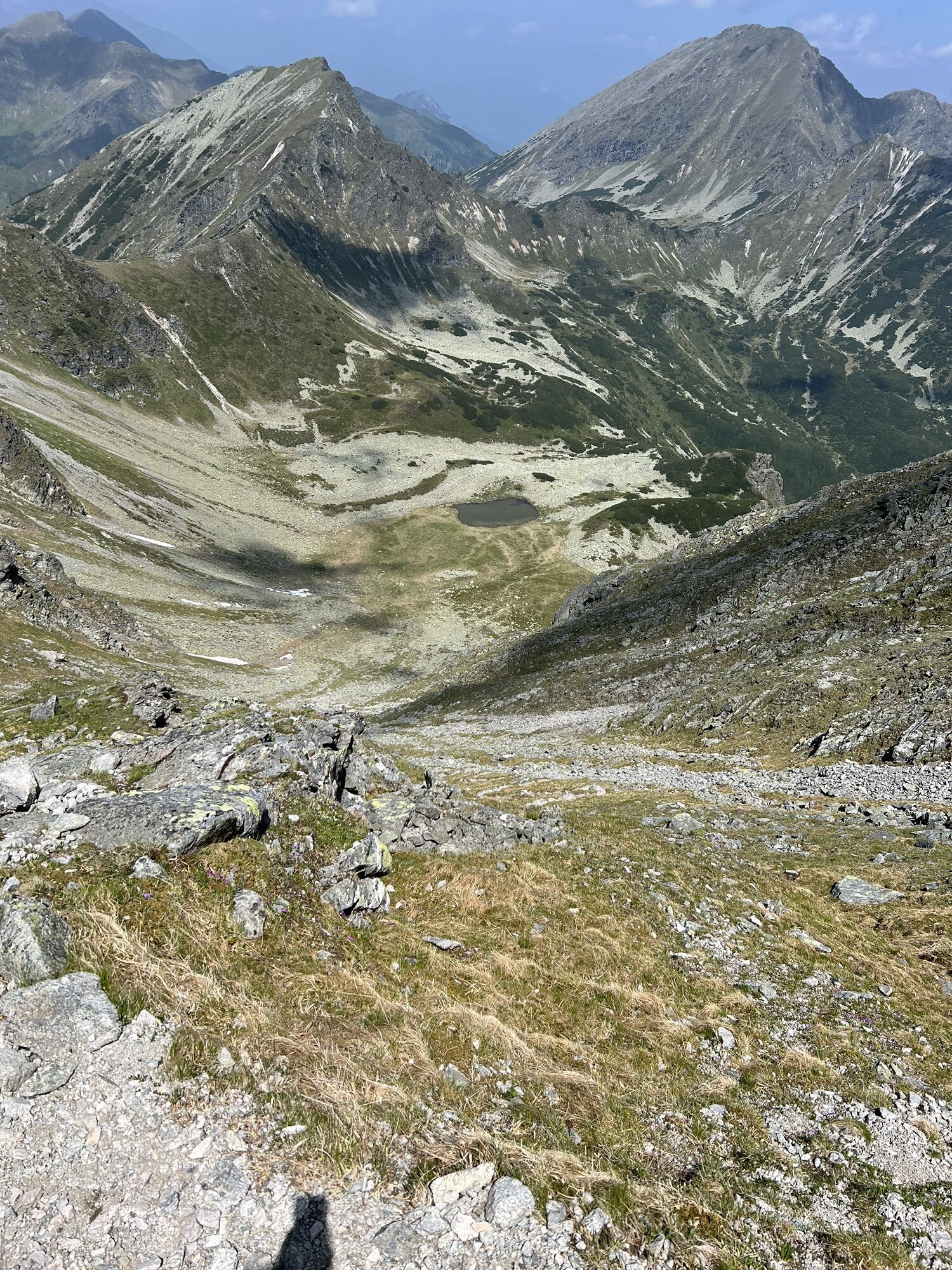
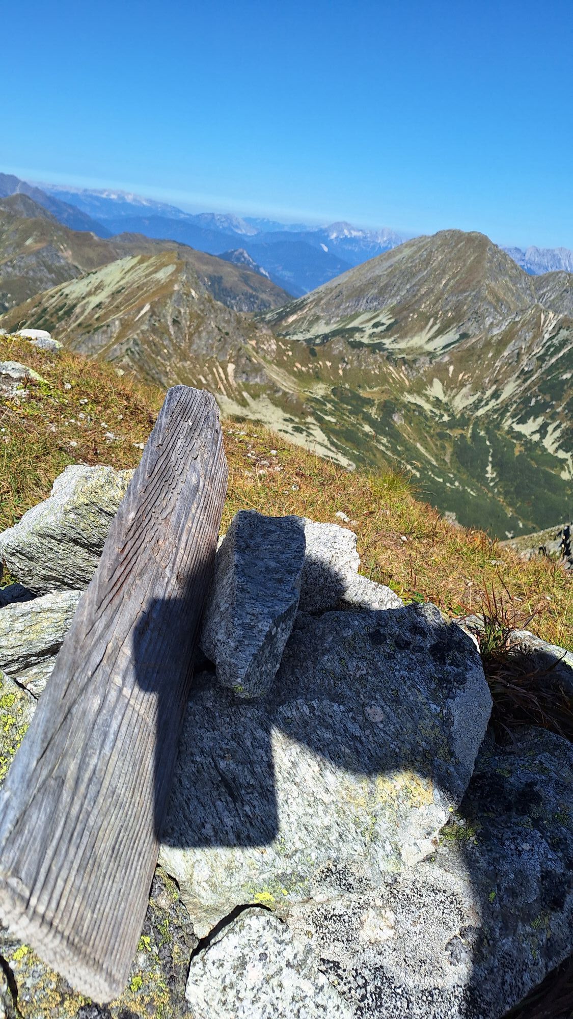
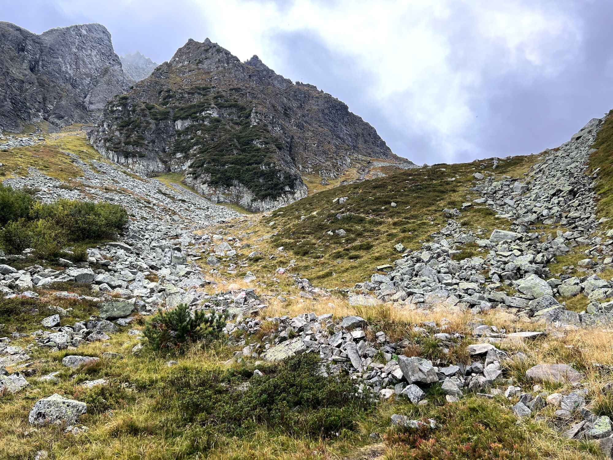
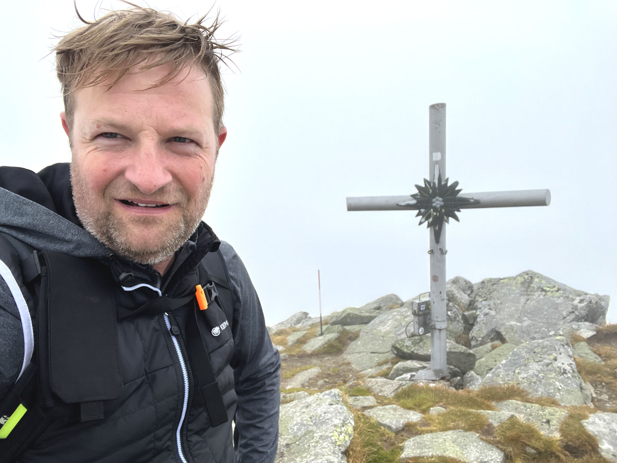
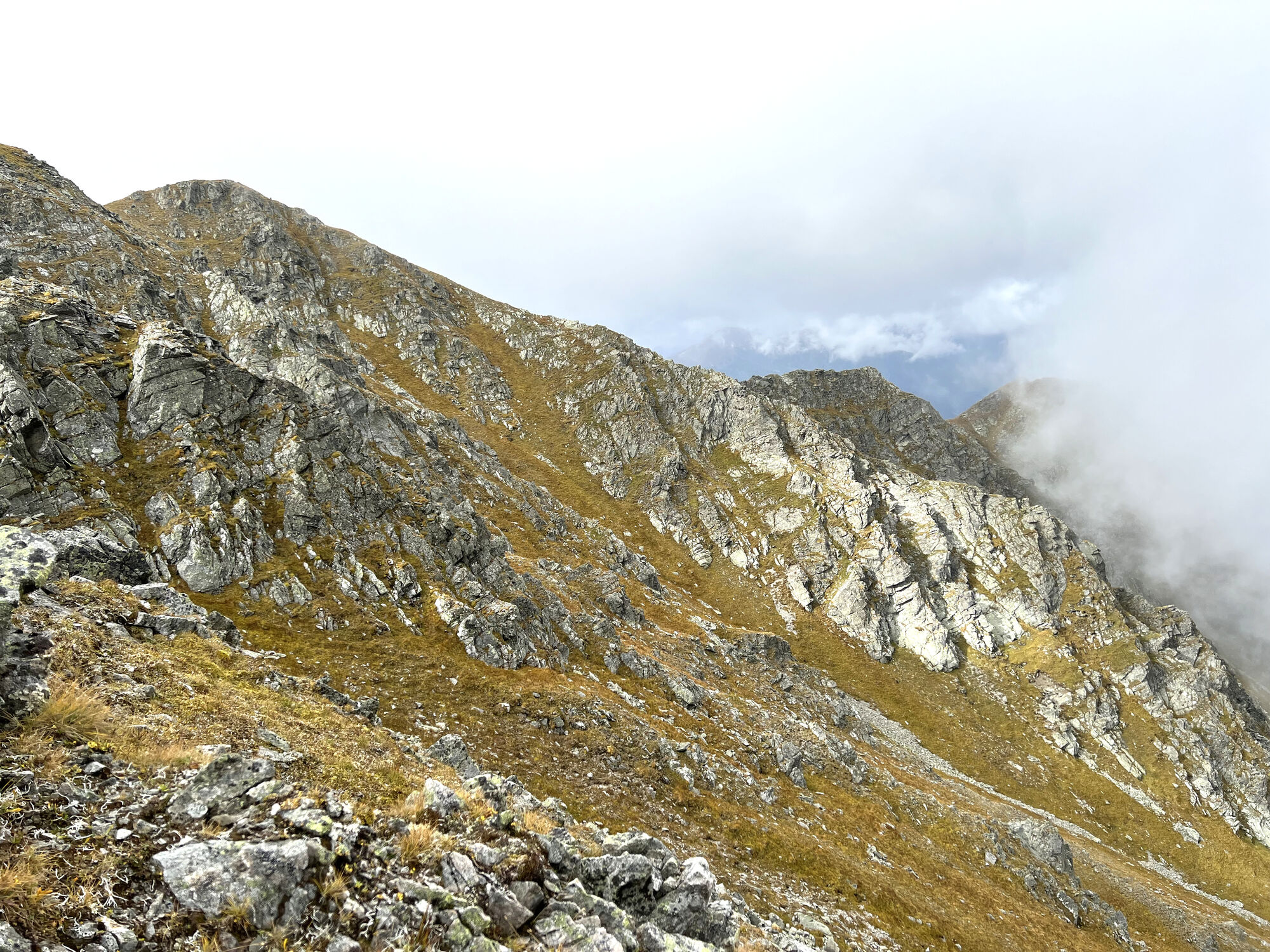
The path up to the gap is quite strenuous and takes over an hour. This is the steepest section of the tour. However, the view back is particularly fantastic and makes up for the arduous climb. Once you have reached the gap, you have already reached an altitude of almost 2340 (7677 ft) meters. Now it's not far. To the left the path continues upwards and after a few meters the summit cross is already in sight. Provided the western summit of the Gamskögel (2386 m / 7828 ft) is not covered in clouds, you have a magnificent panoramic view of the Lower Tauern from here. The three and a half hours given for the climb turned out to be a very good estimate of time. Including breaks, the summit was actually reached after less than 3.5 hours.
Back to the Bergerhube
The descent takes place via the ascent route. Particular caution is advised in the upper section due to the scree. Surefootedness is certainly required here. After just two hours, the starting point of the tour, the Bergerhube, is reached again. In any case, you shouldn't miss a proper refreshment in the guest garden or the cozy restaurant before you head home.
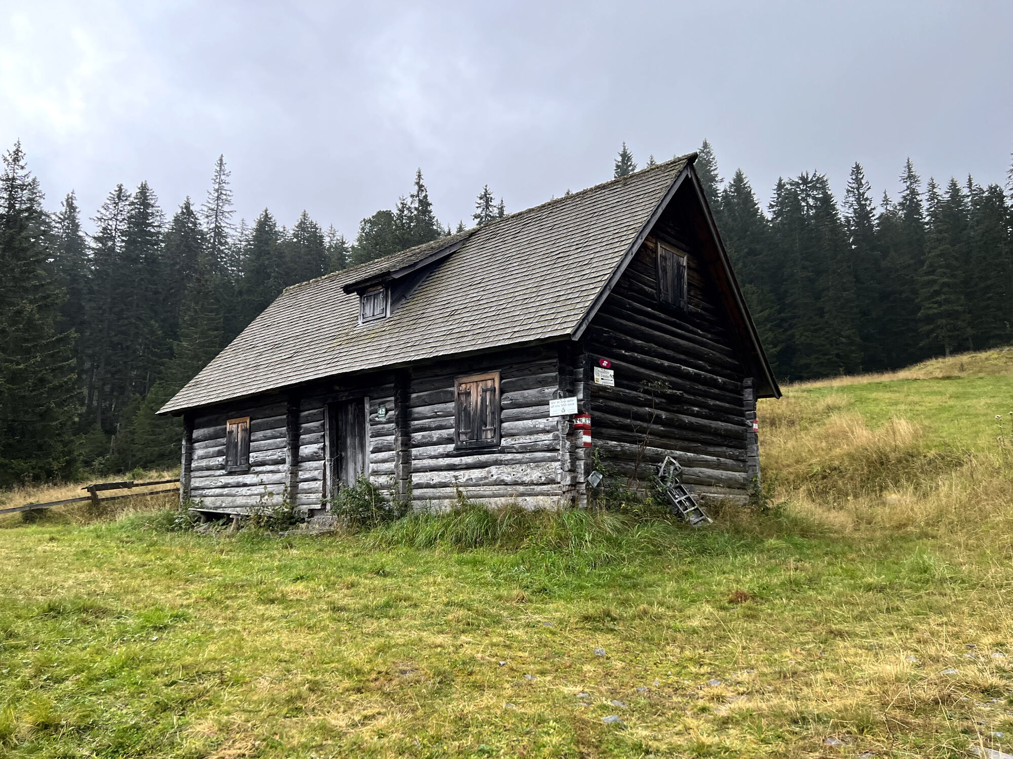
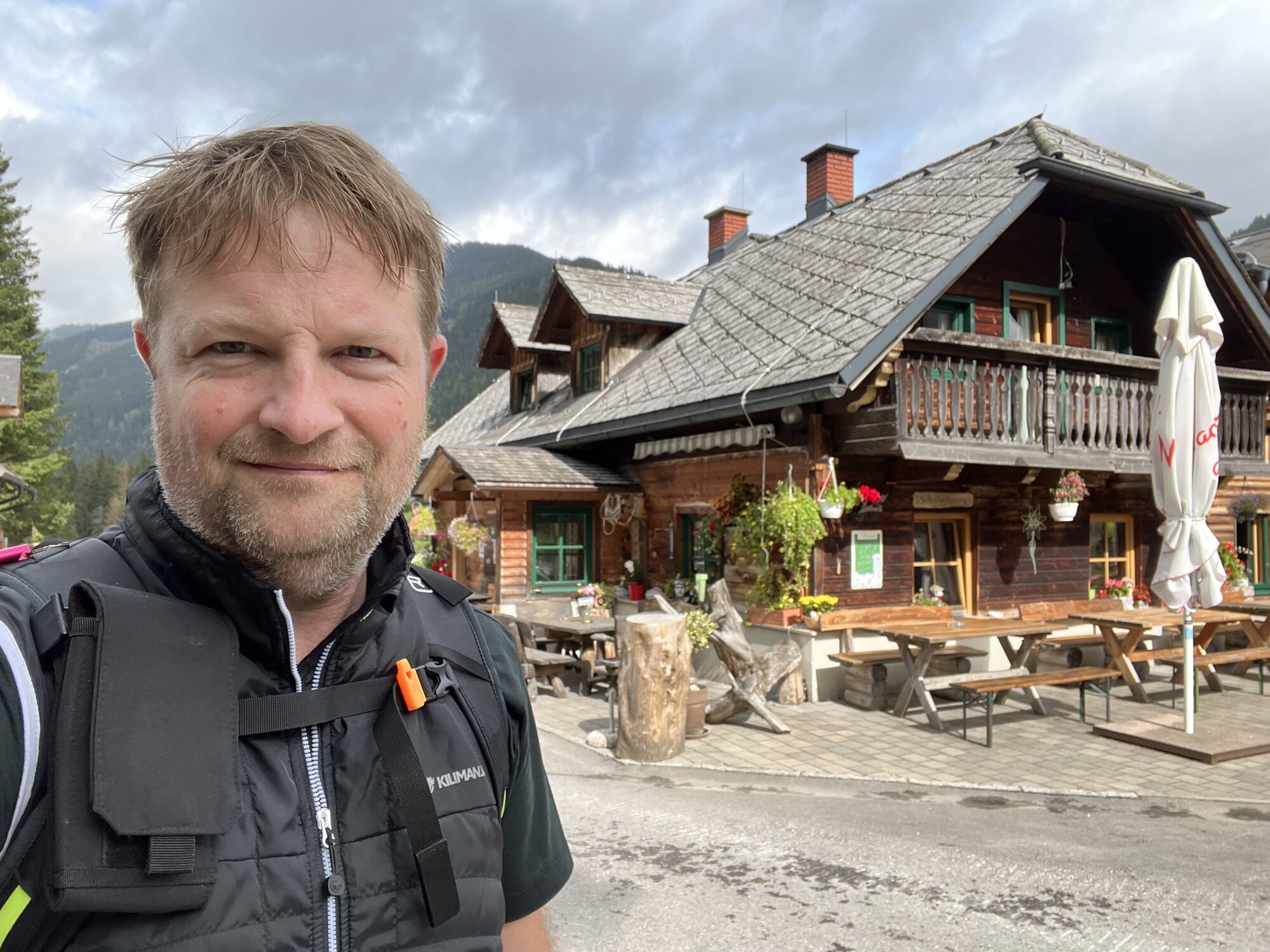

Bewirtschaftete Hütte, Bergerhube
Managed hut, Bergerhube
Sí
Paid parking lot at the Bergerhube (EUR 5 for a day ticket as of 2023)




Rutas populares en los alrededores
-
4,9
Großer Bösenstein - Kleiner Bösenstein - Großer Hengst
pesadoSenderismo 8,90 km -
4,9
Auf den Himmelkogel über Griesmoarkogel
pesadoSenderismo 14,1 km -
4,8
Vom Rosenkogel zum Amachkogel
medioSenderismo 20,7 km -
4,7
"Pletzen 2345m" Der eindrucksvolle Aussichtsgipfel in den Seckauer Tauern
luzRaquetas de nieve 15,8 km -
4,6
Rosenkogel- Lorettokapelle
Senderismo 3,66 km -
4,6
Hochreichhart-Hirschkarlgrat-Geierhaupt
pesadoSenderismo 16,2 km -
4,6
Großer Schober ab Wald
medioSenderismo 9,54 km -
4,6
Vöttleck 1888m
luzSenderismo 12,4 km -
4,5
Hauseck
medioSenderismo 6 km -
4,5
Auf den großen Bösenstein
pesadoExcursión de alta montaña 7,25 km
Senderismo y rastreo


No se pierda las ofertas y la inspiración para sus próximas vacaciones
Su dirección de correo electrónico se ha añadido a la lista de correo.


