






Zinken via Schönbergkar

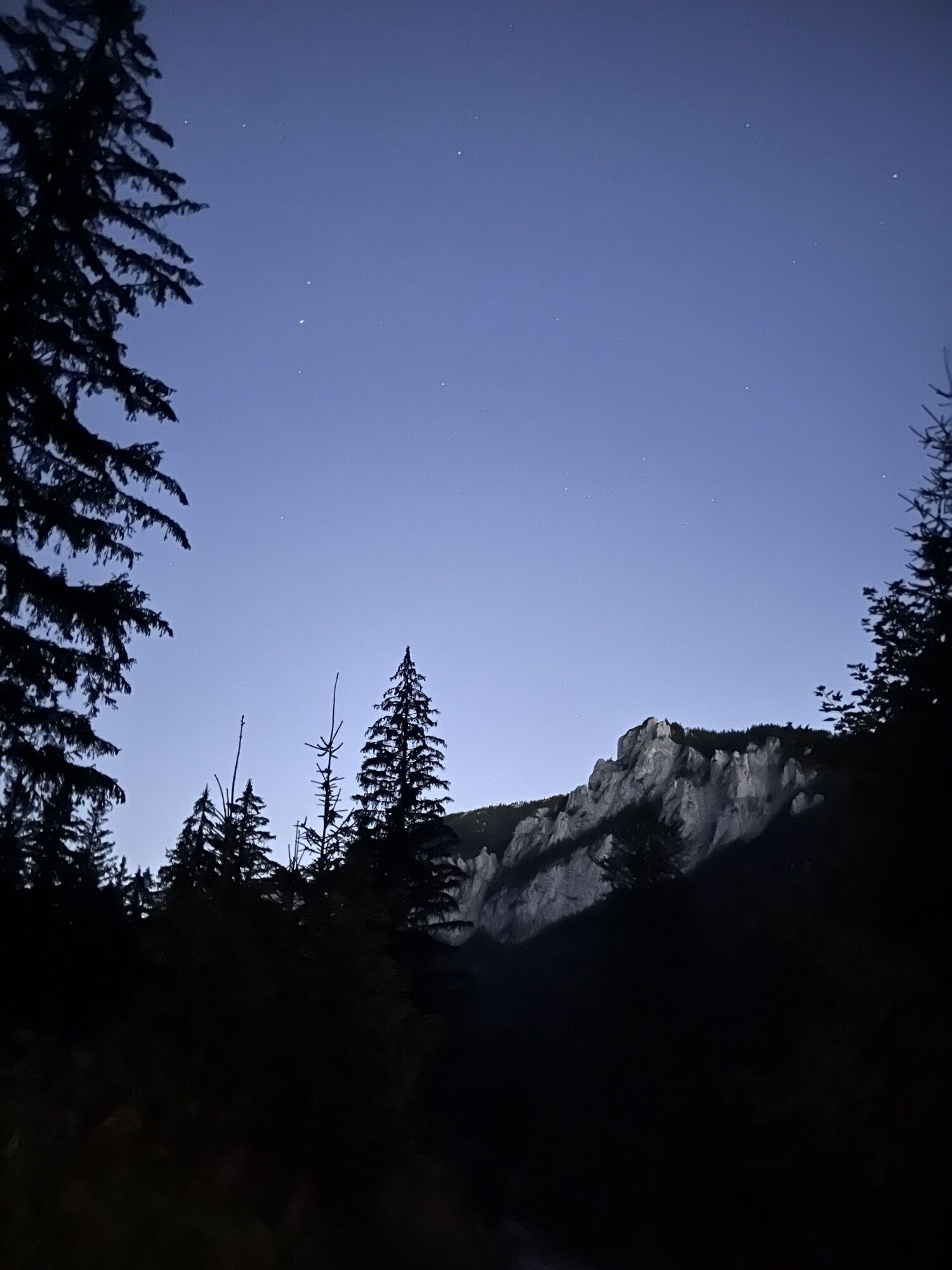
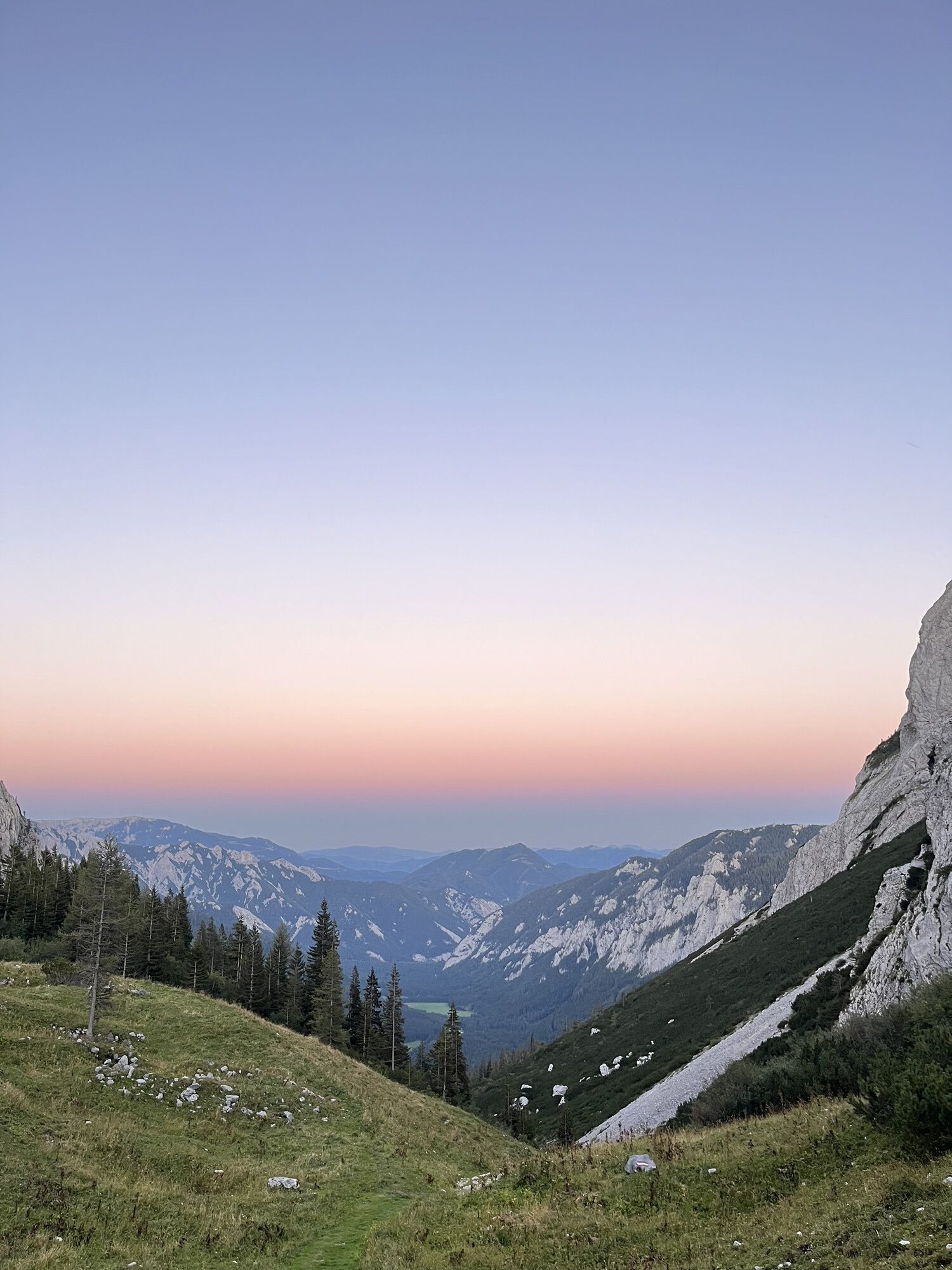
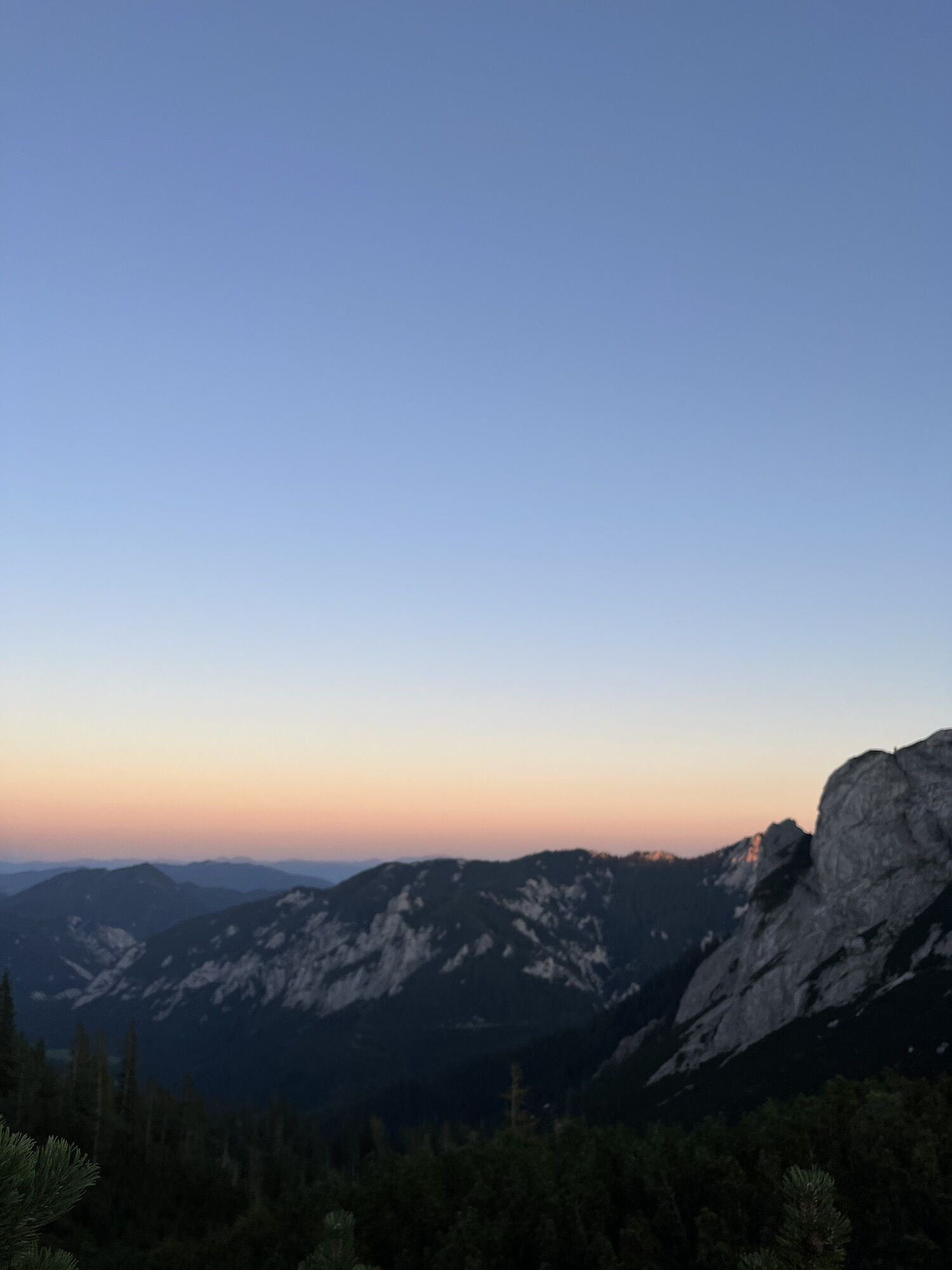
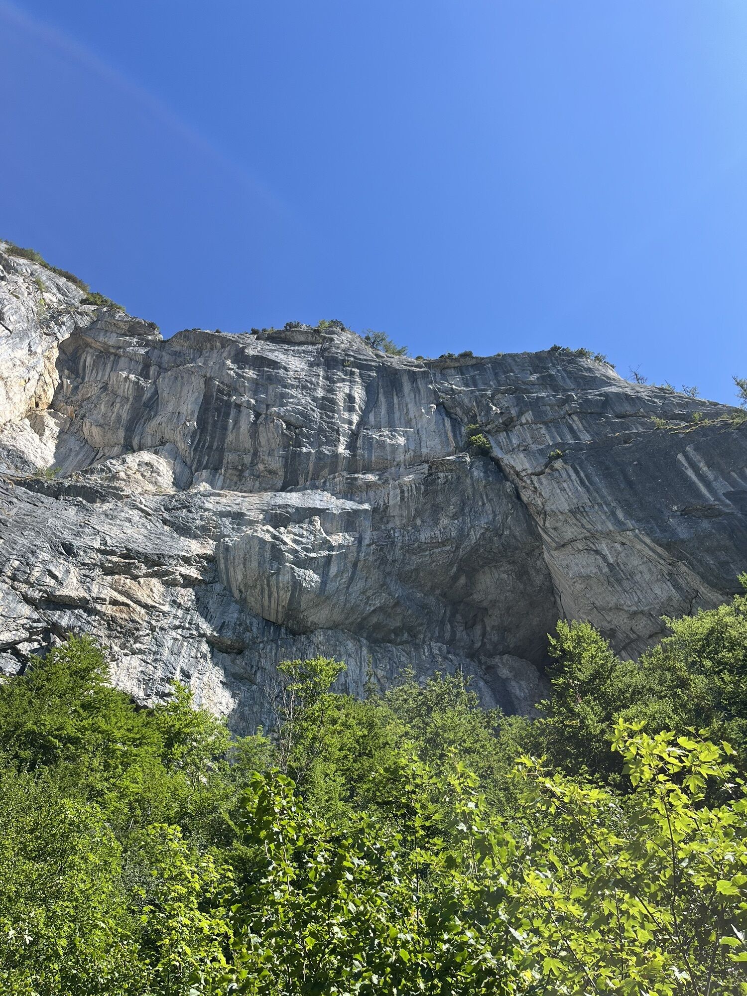
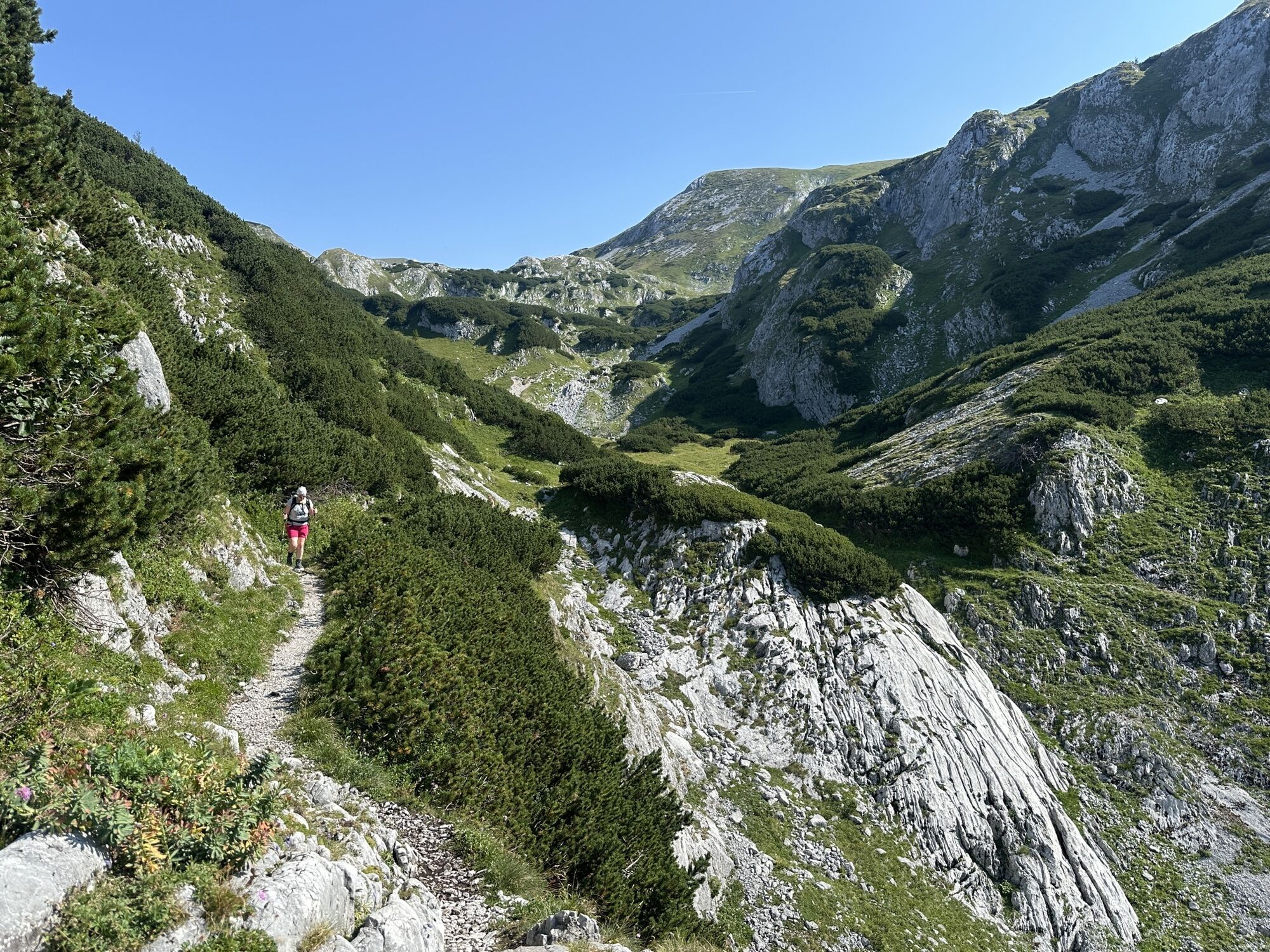
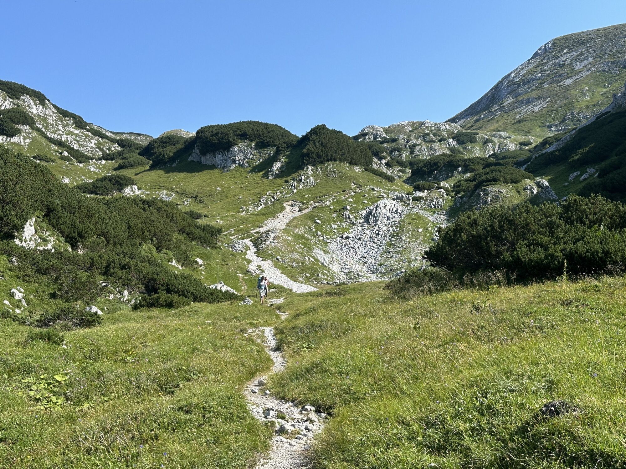
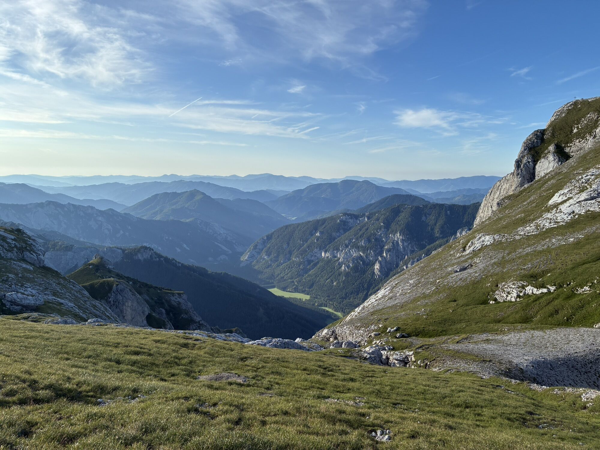
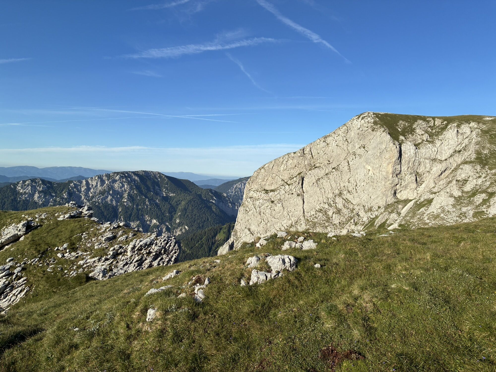
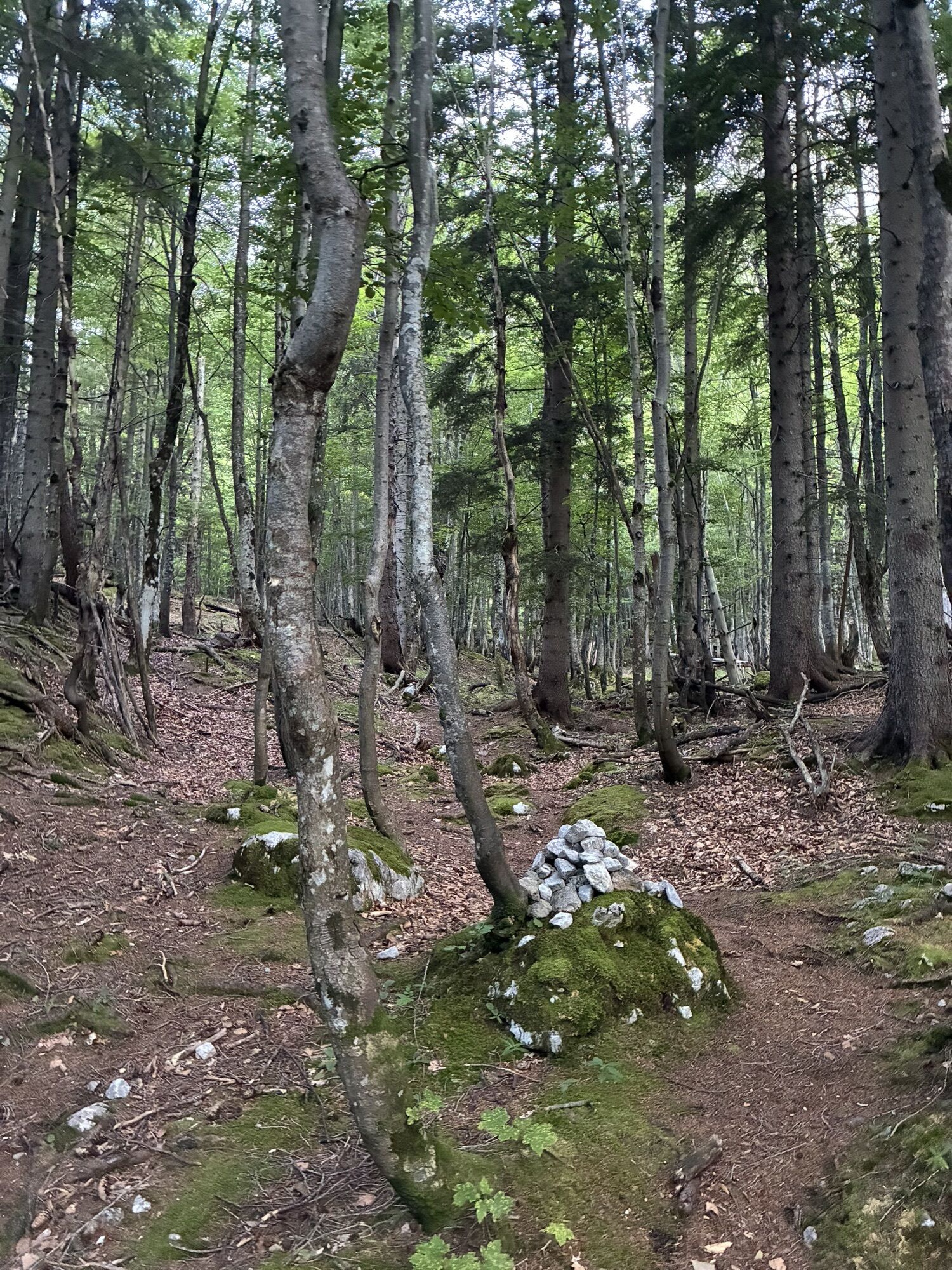
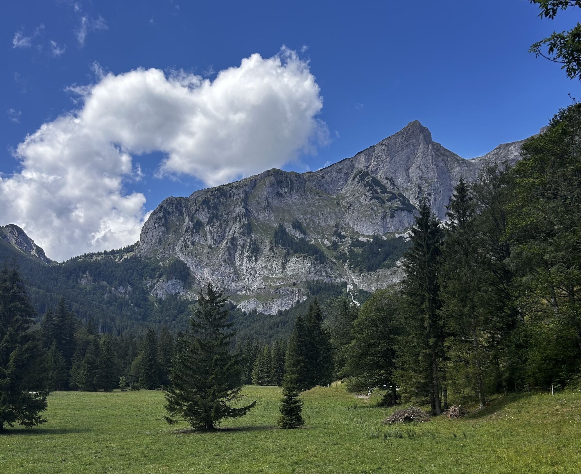
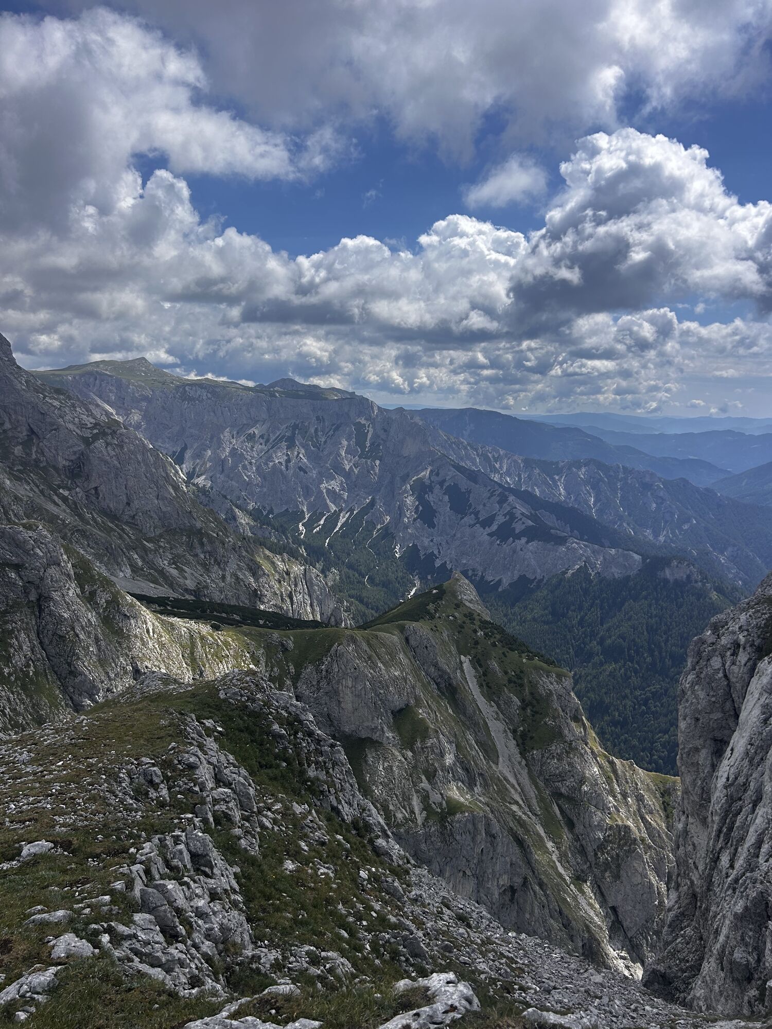
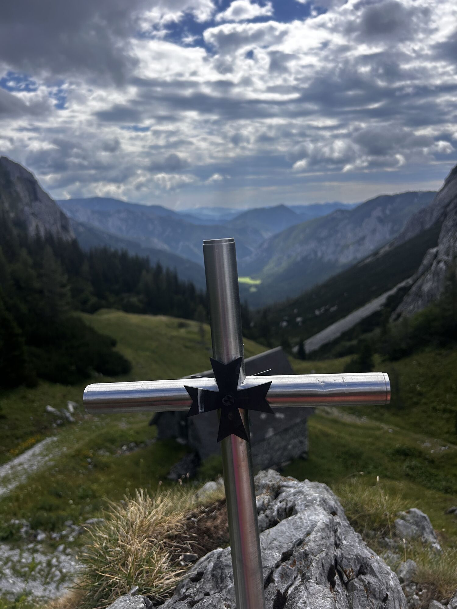
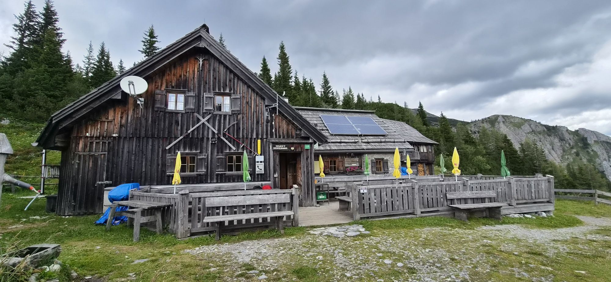
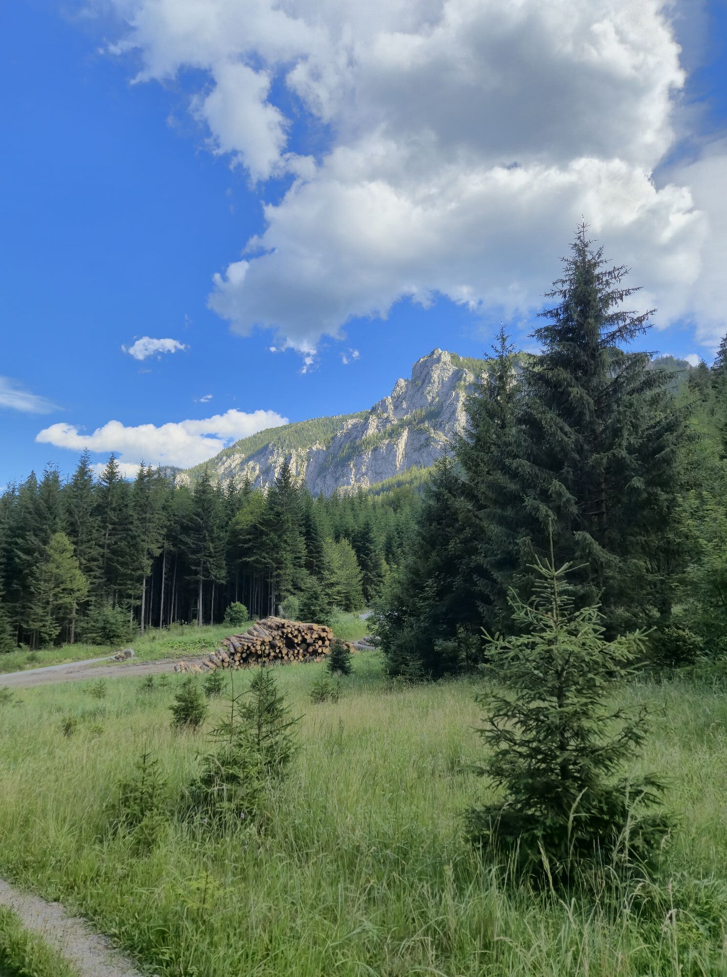
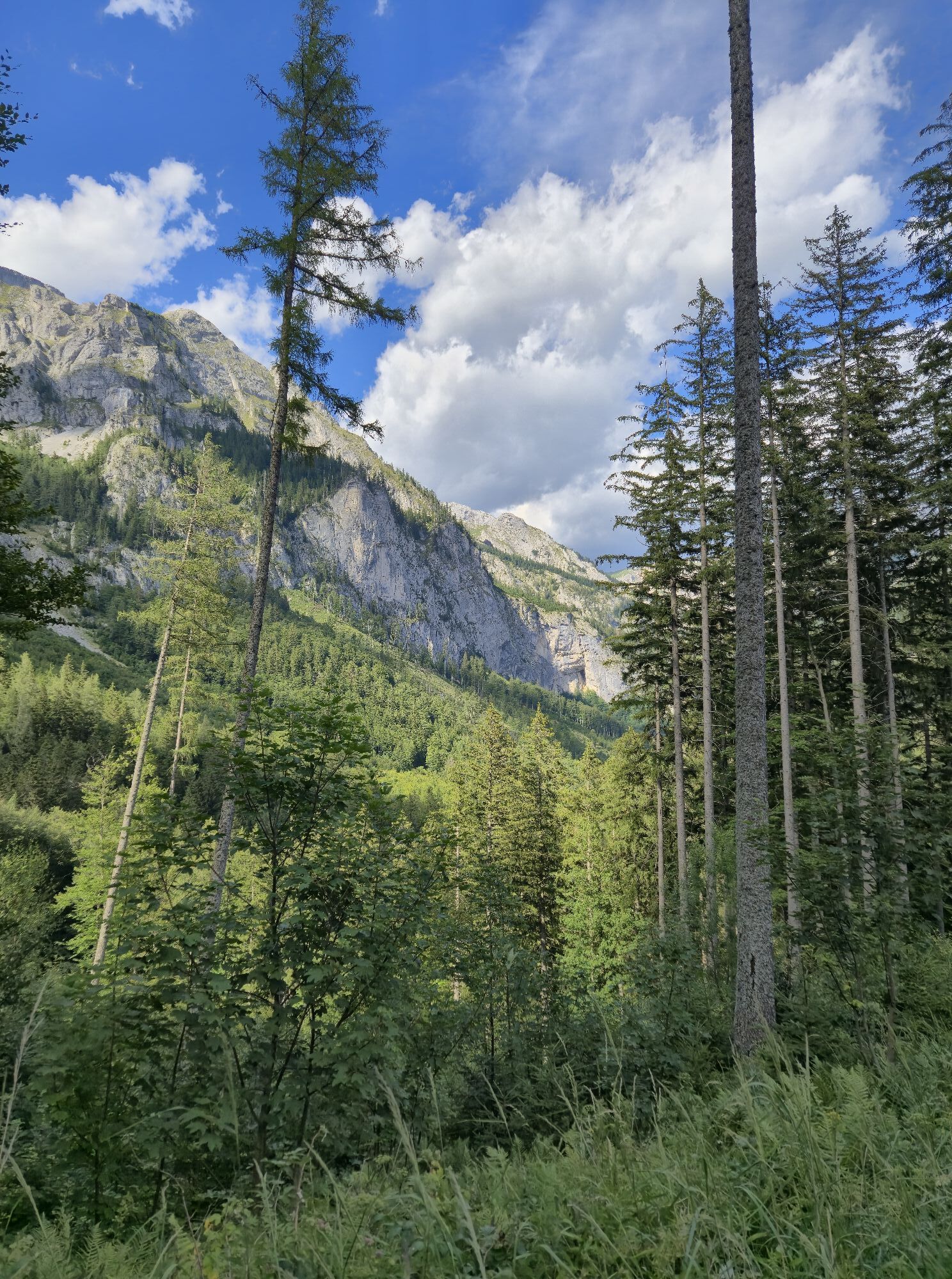
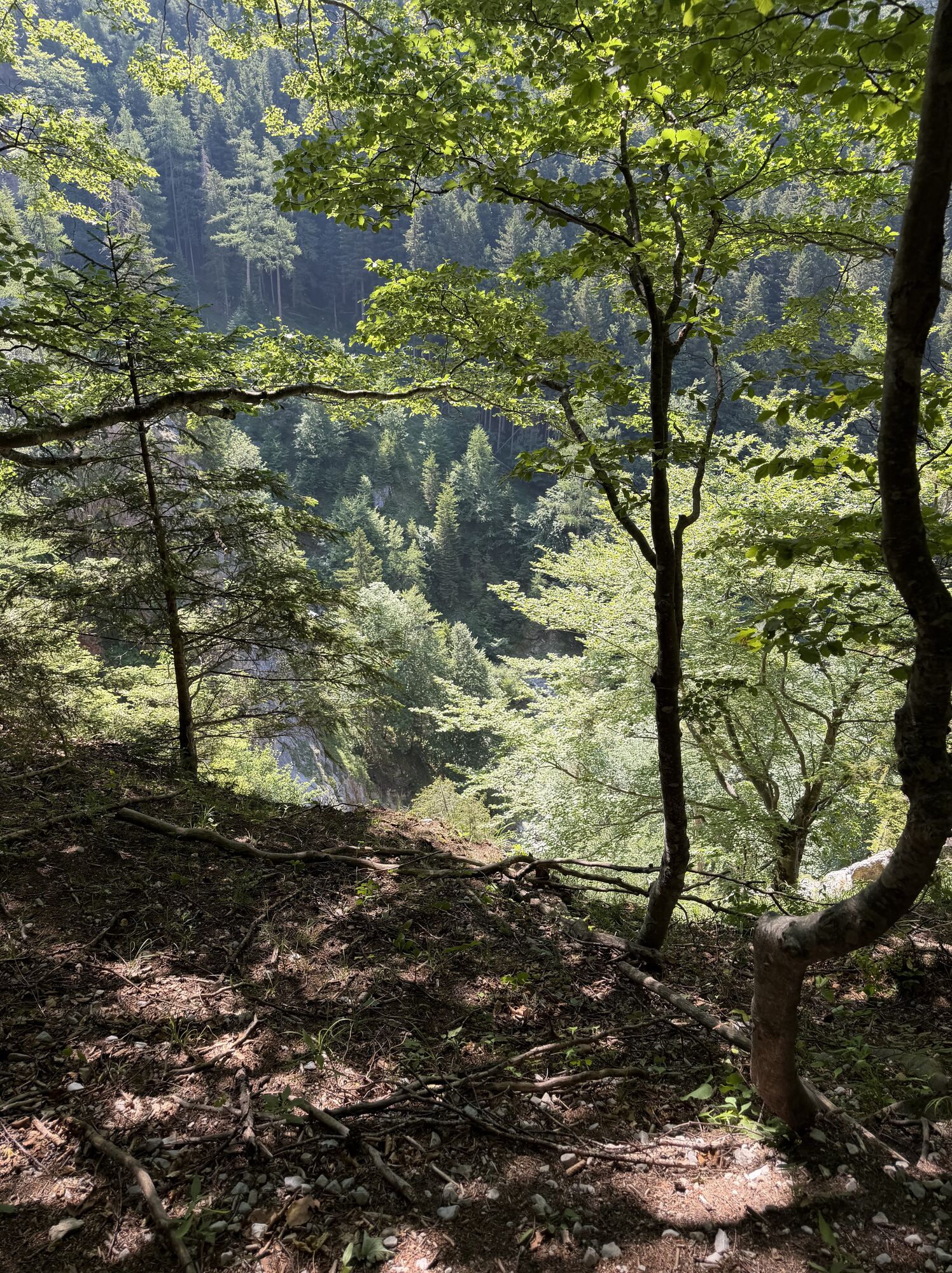
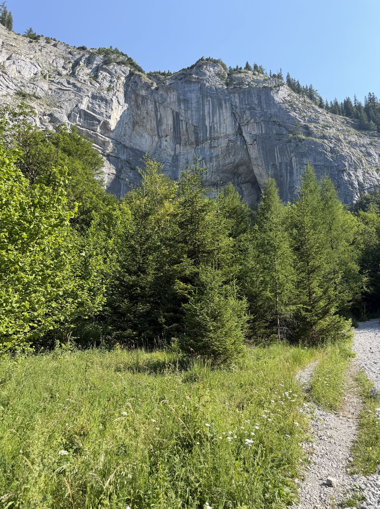
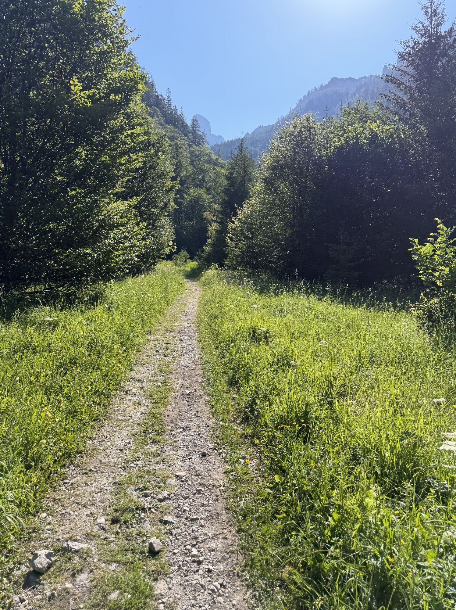
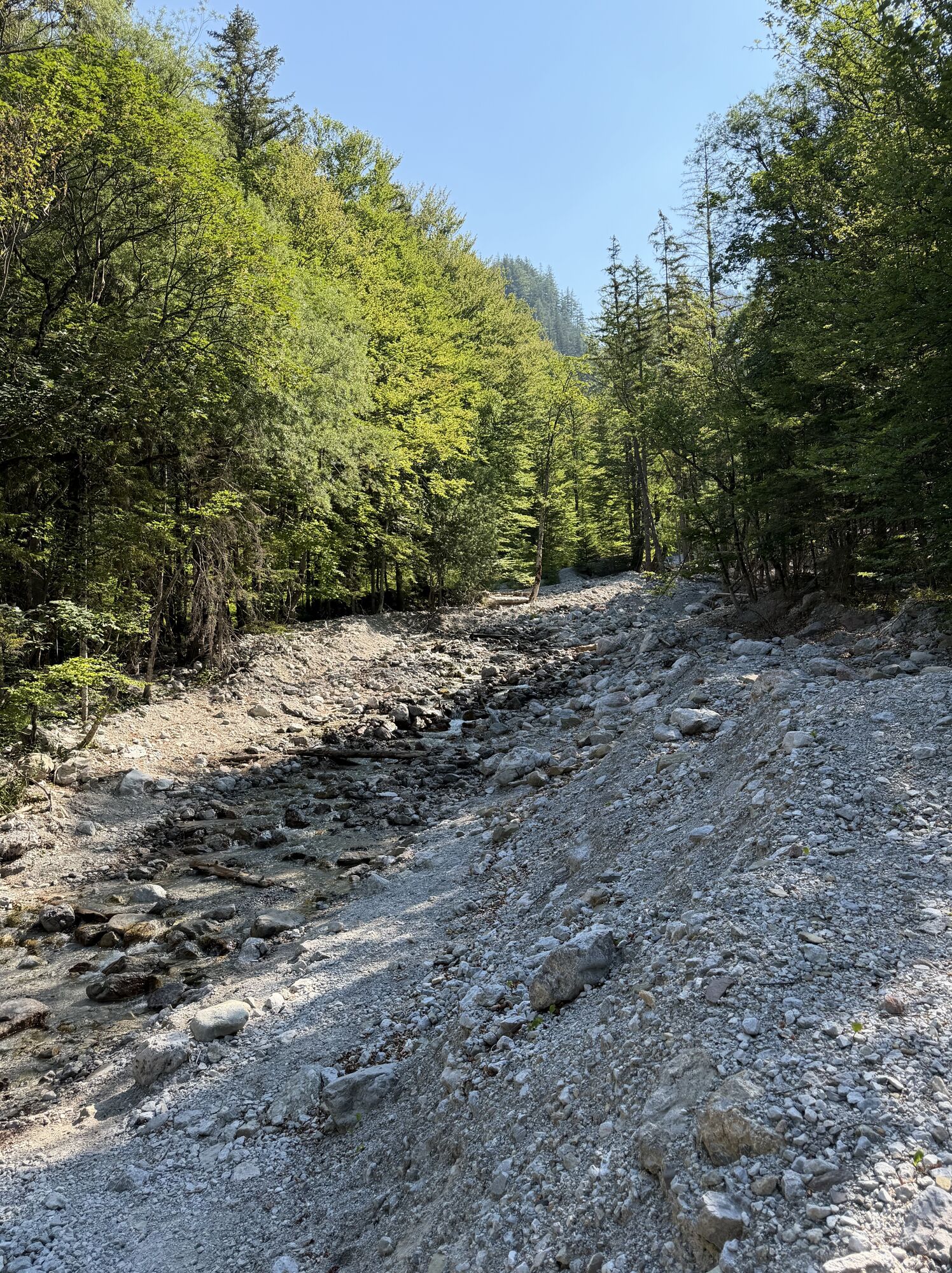
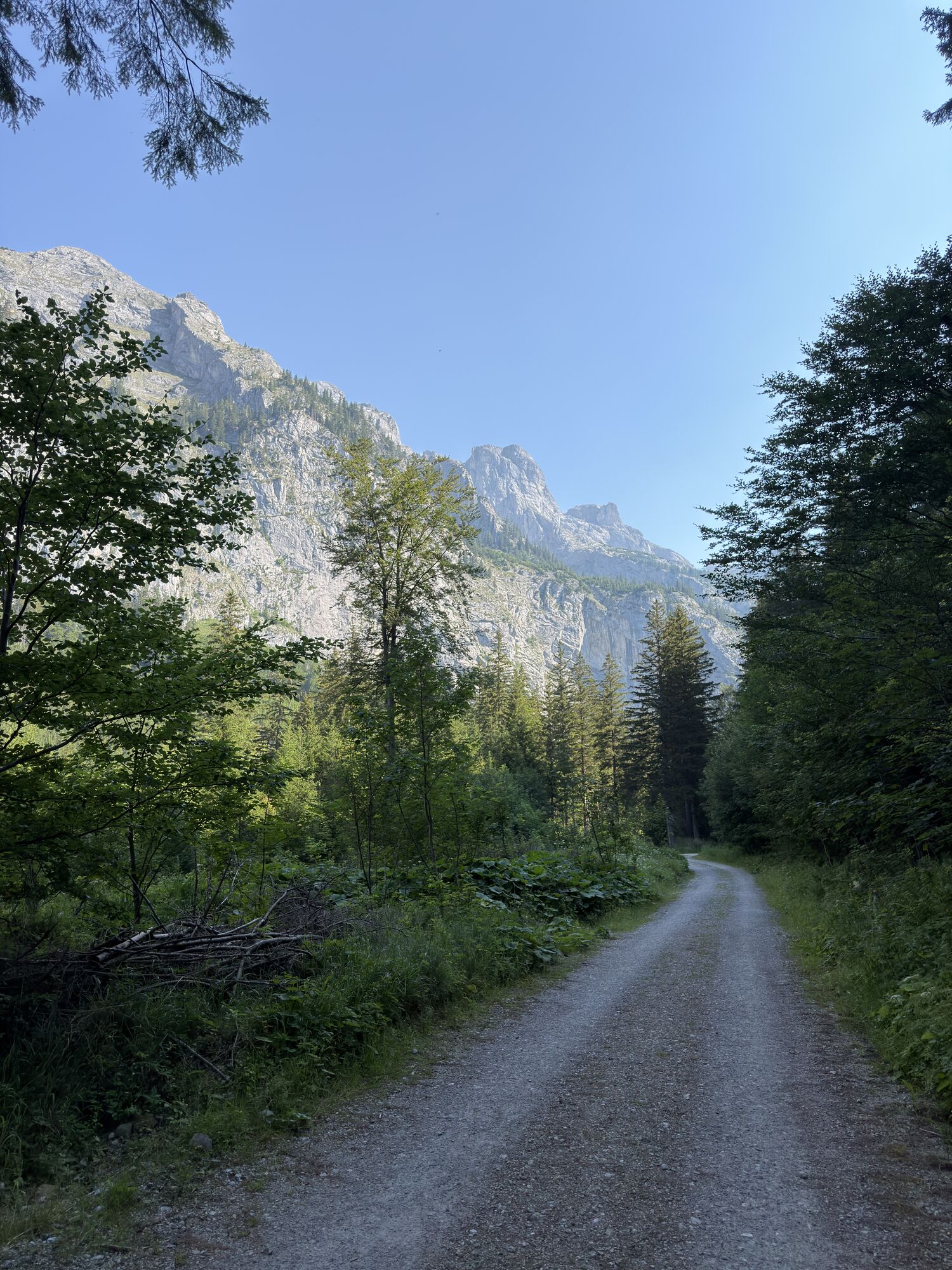
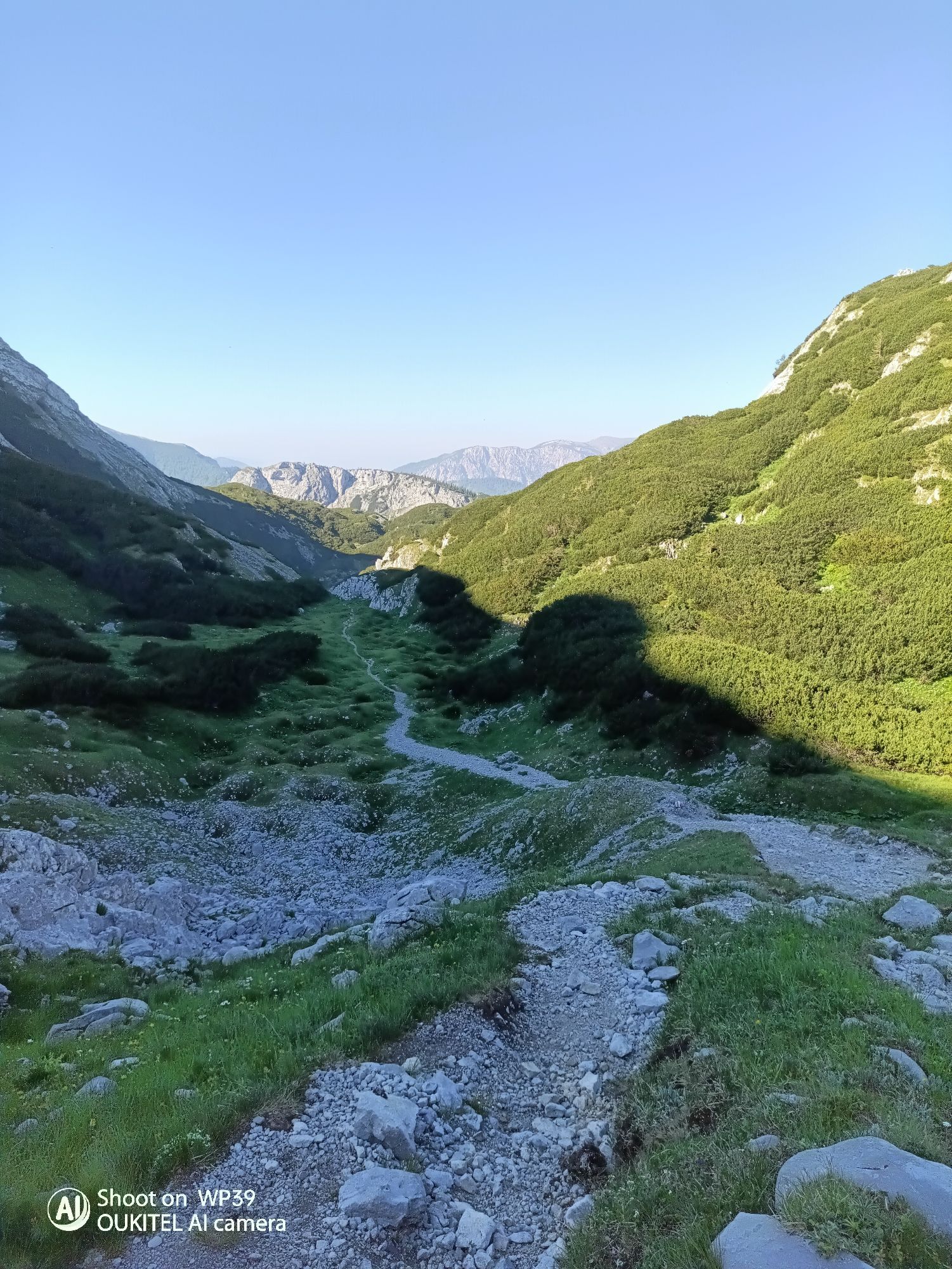
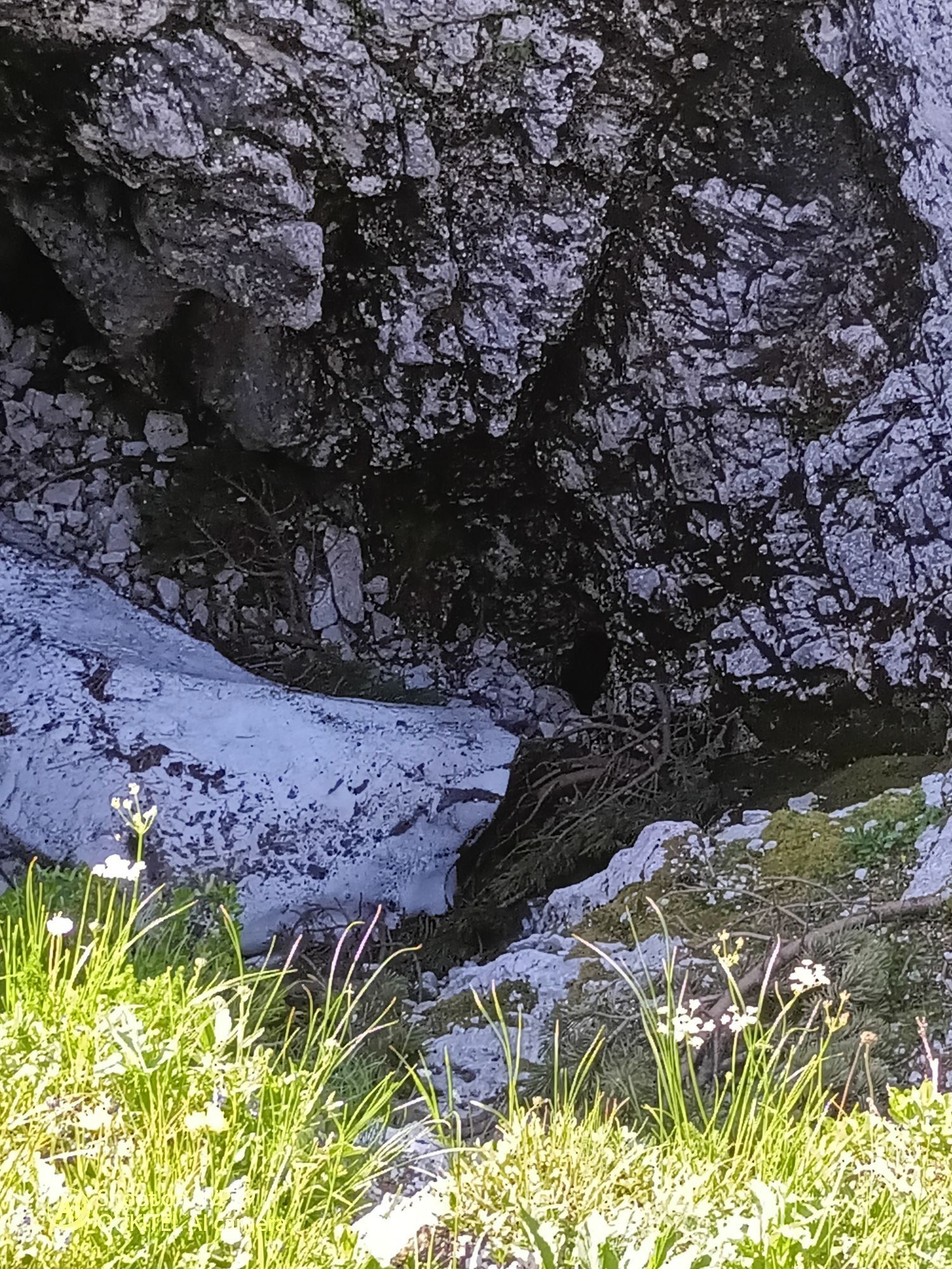
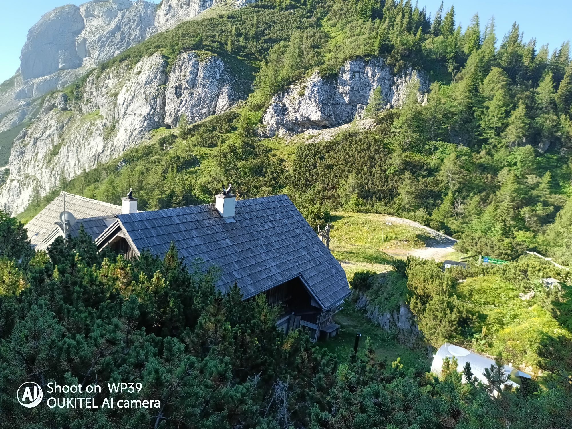
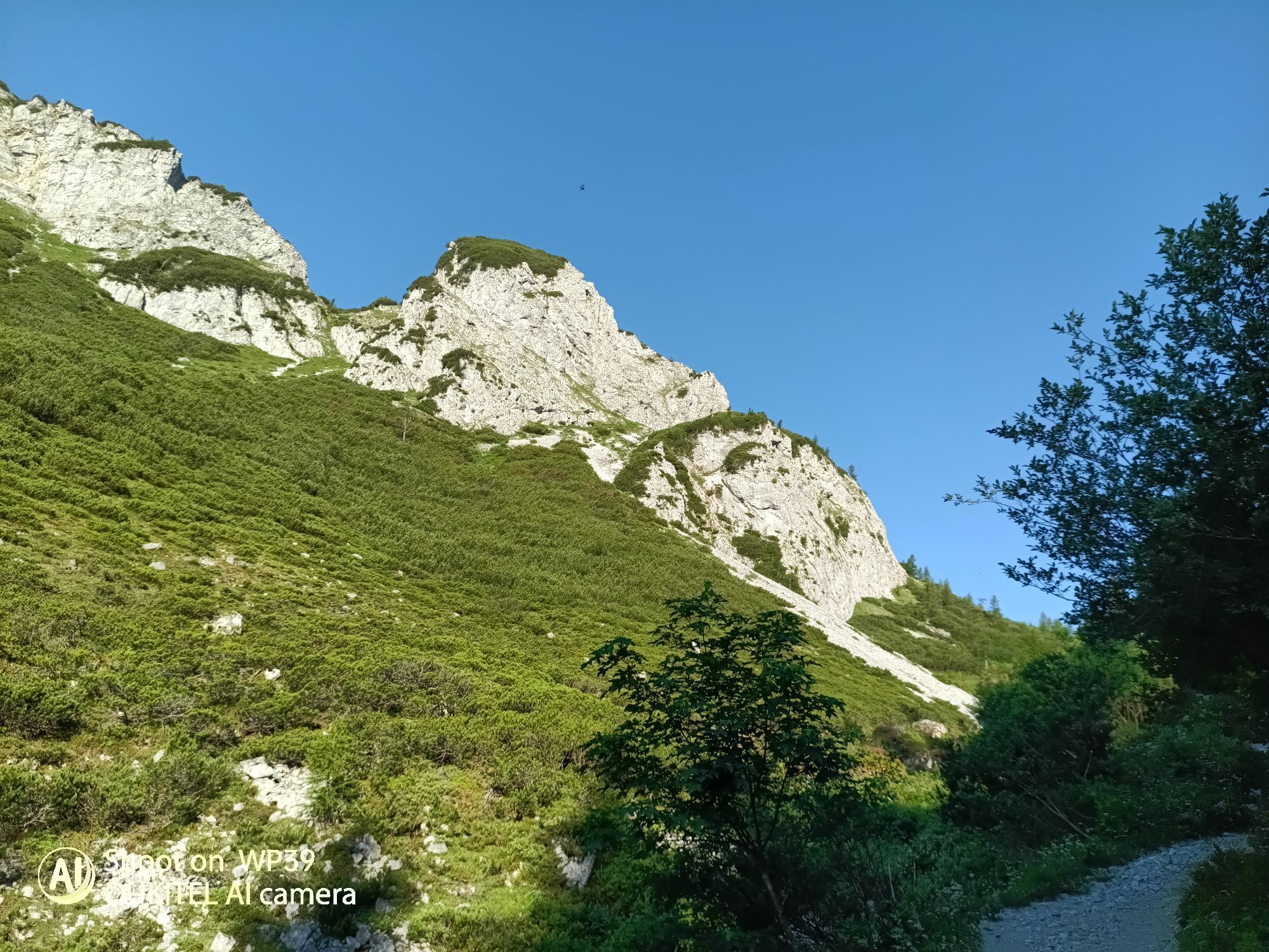
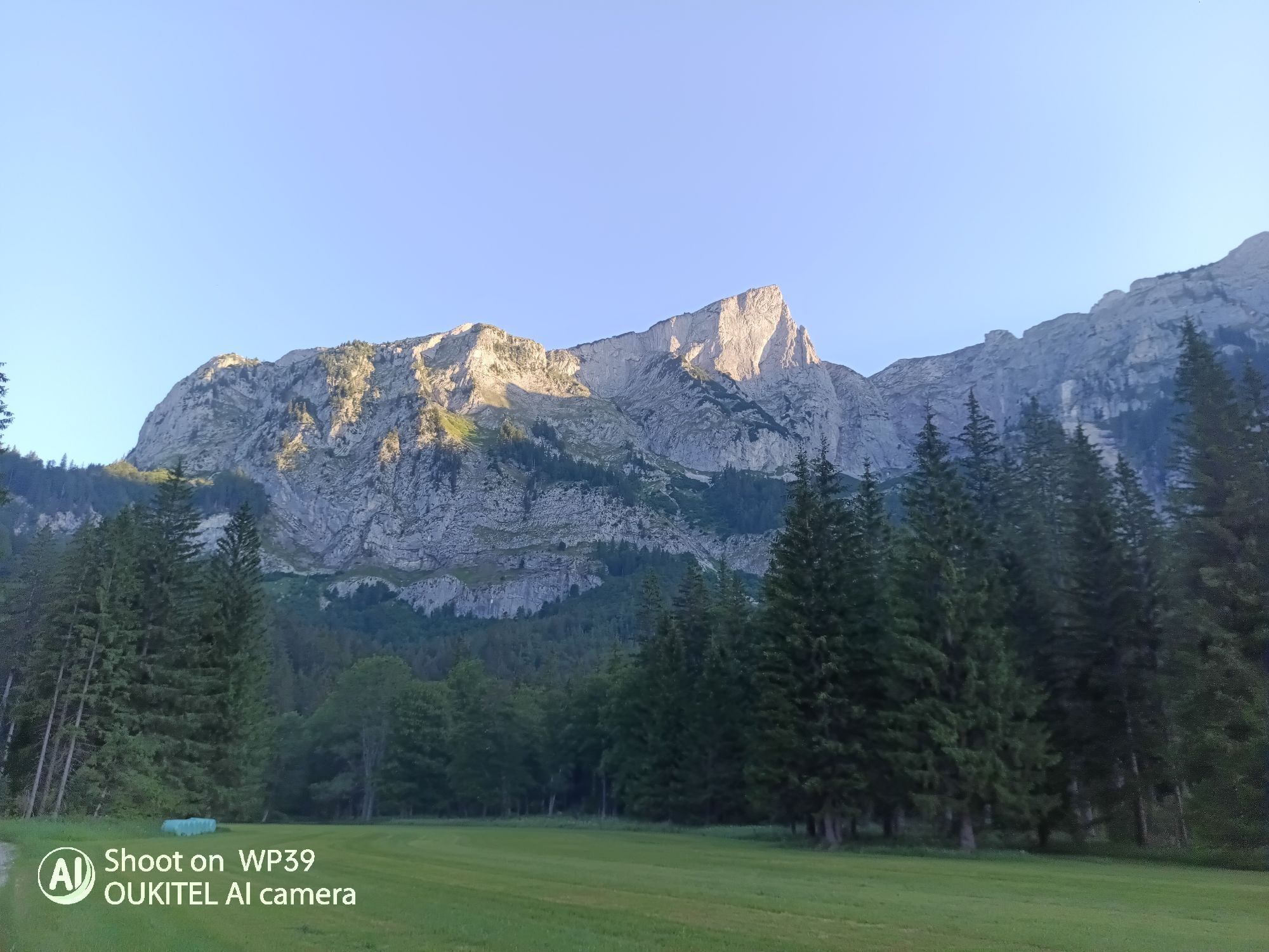
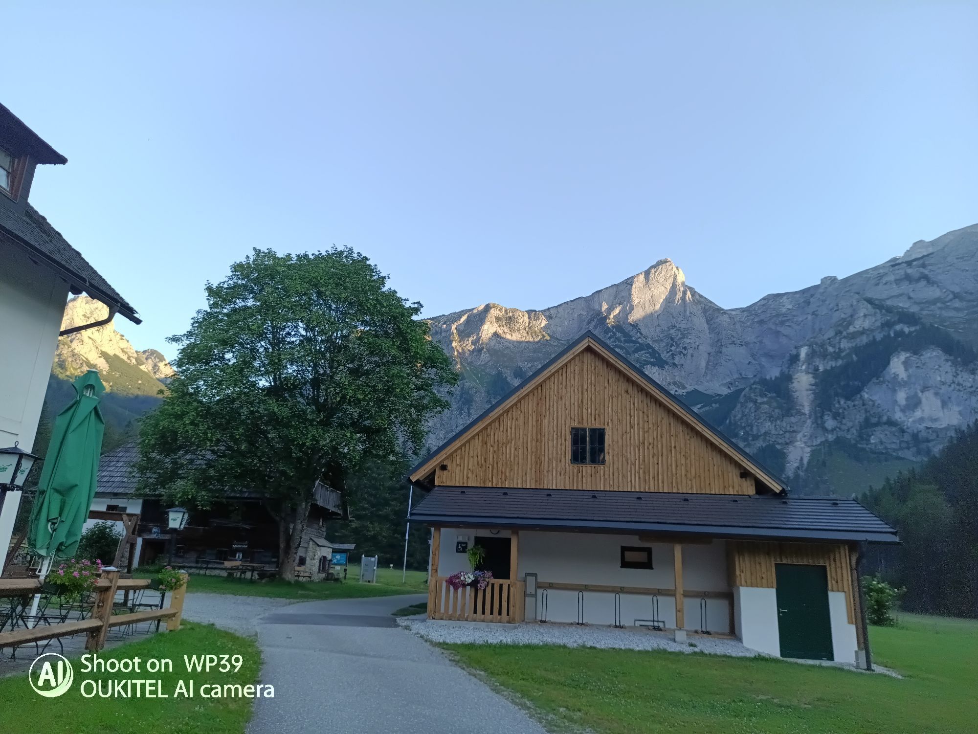
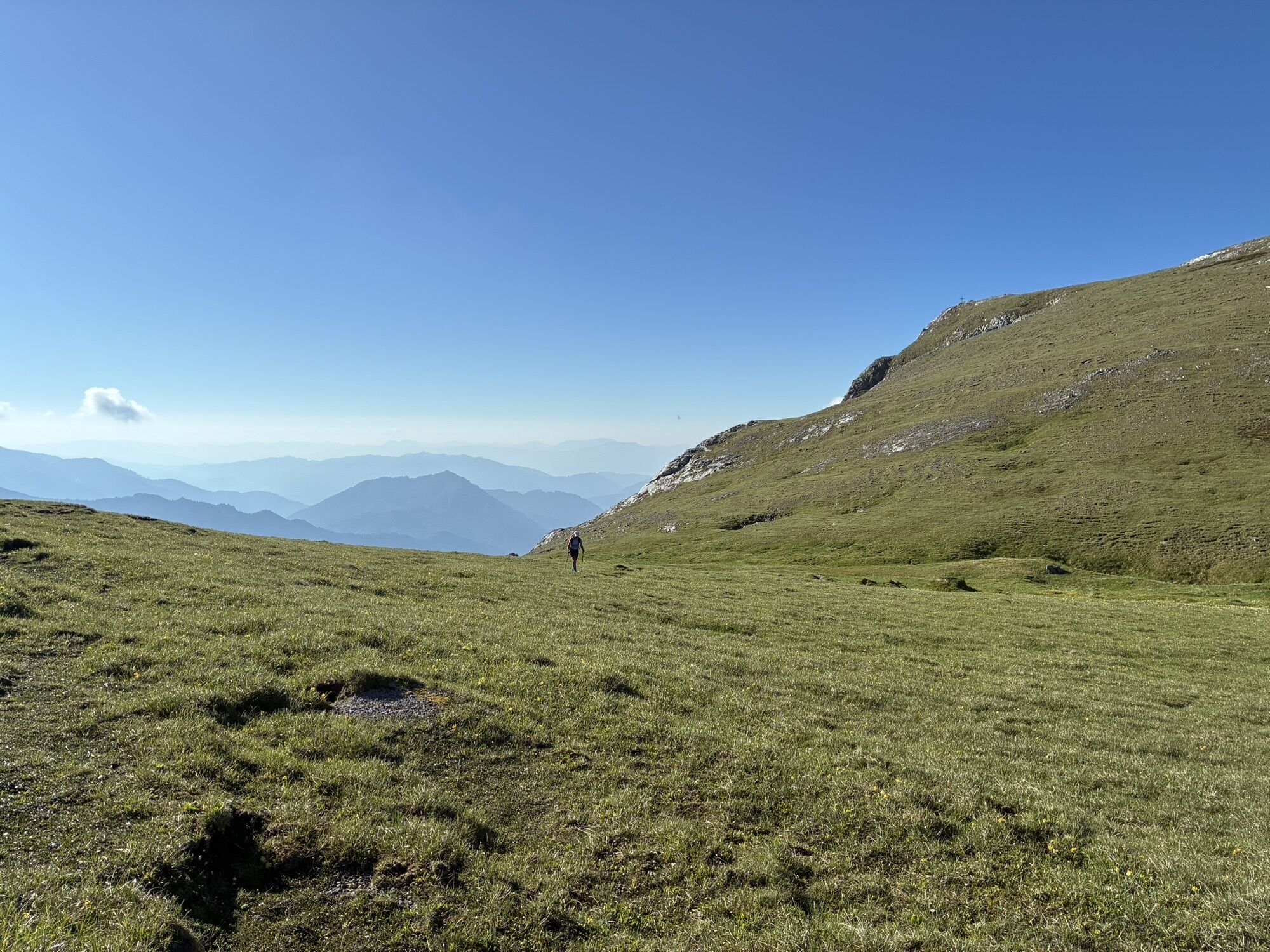
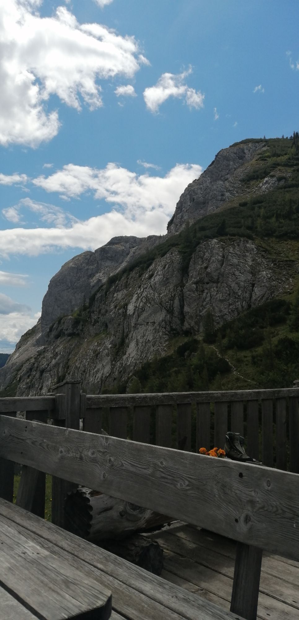
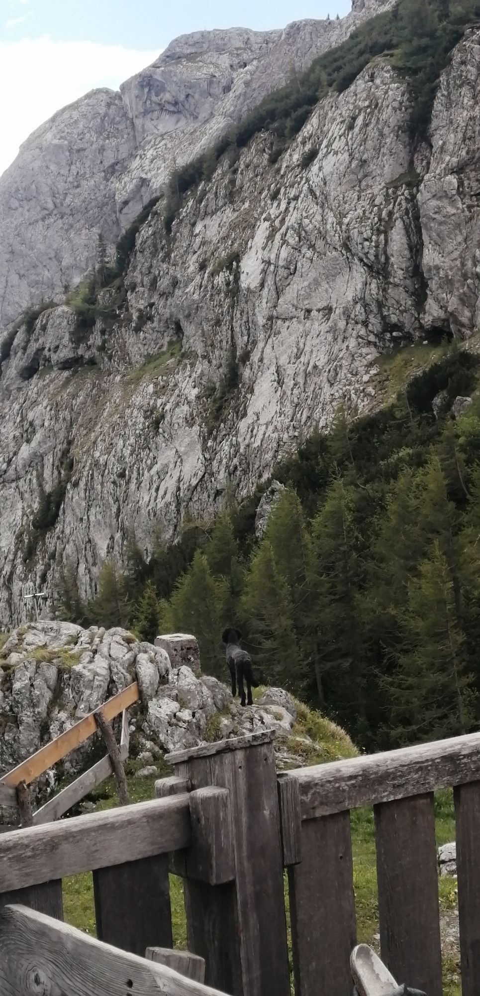
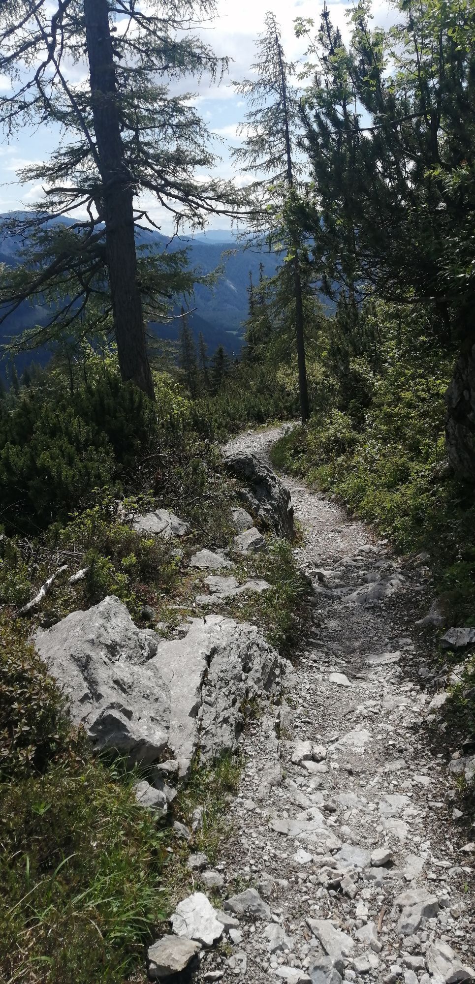
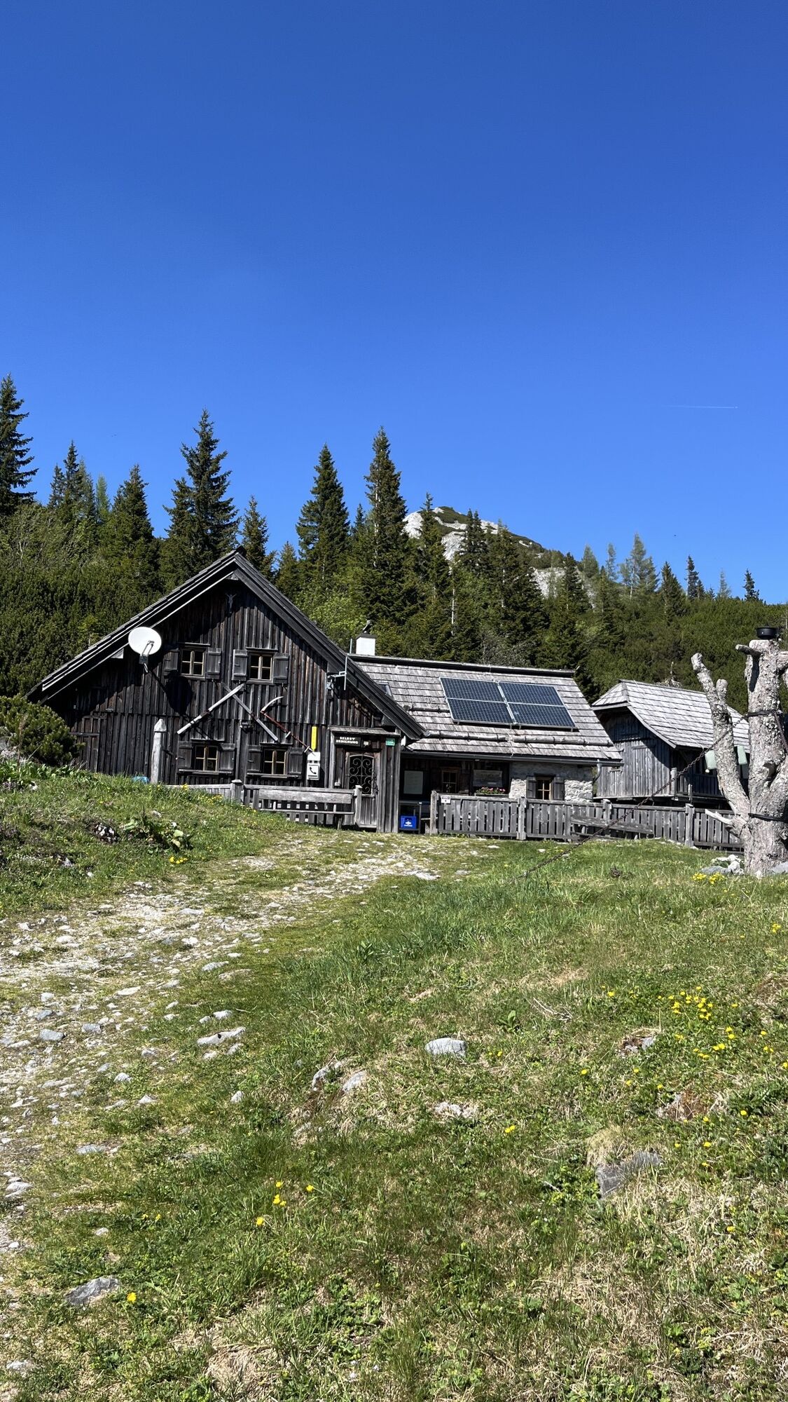
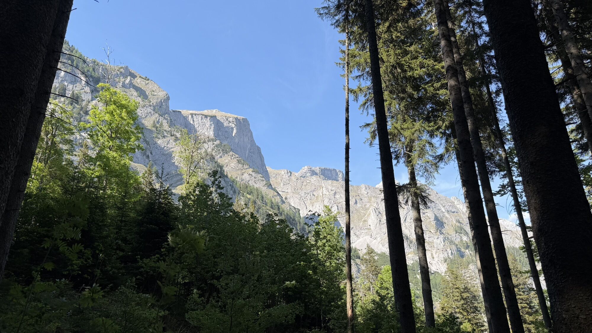
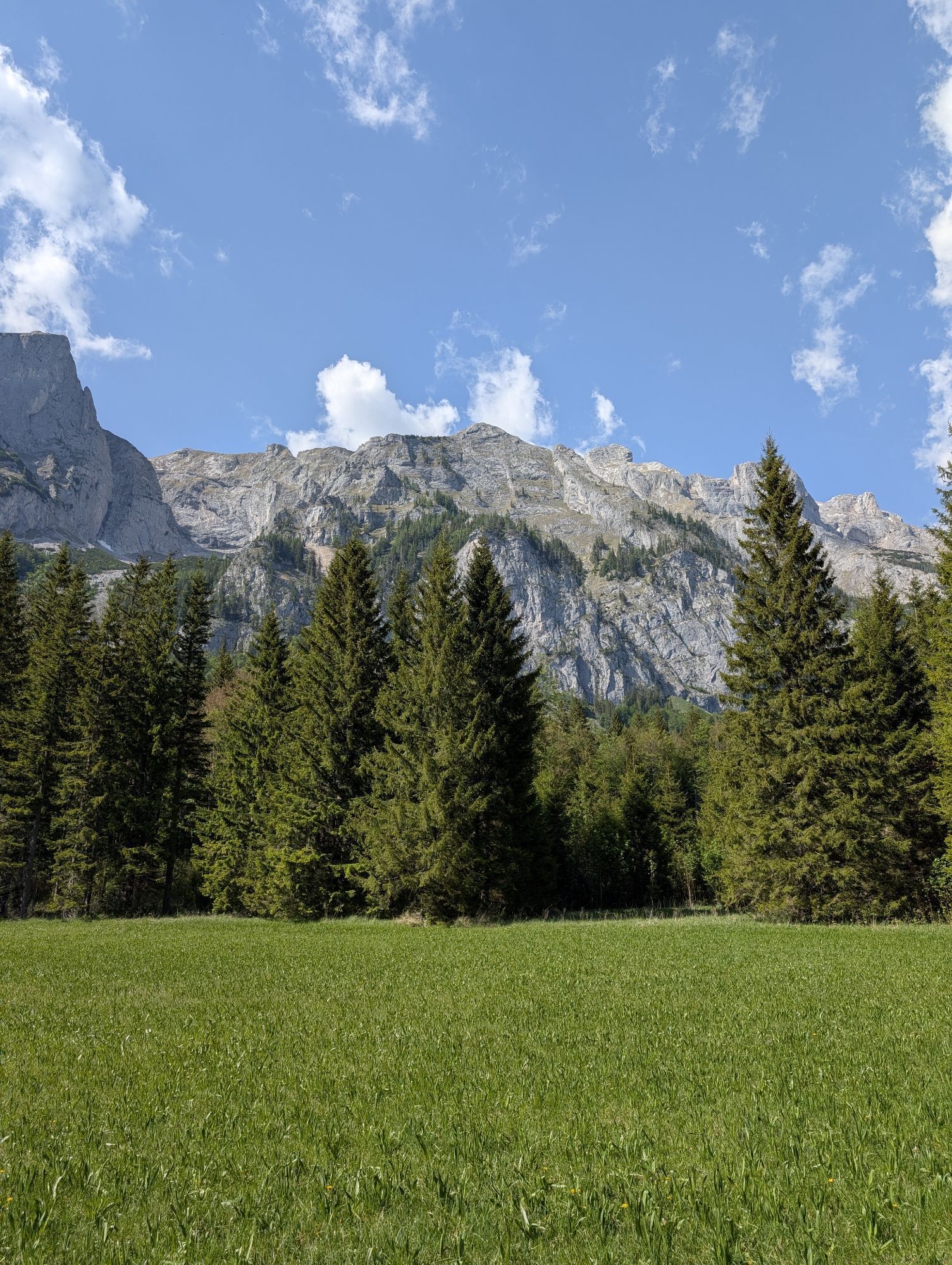
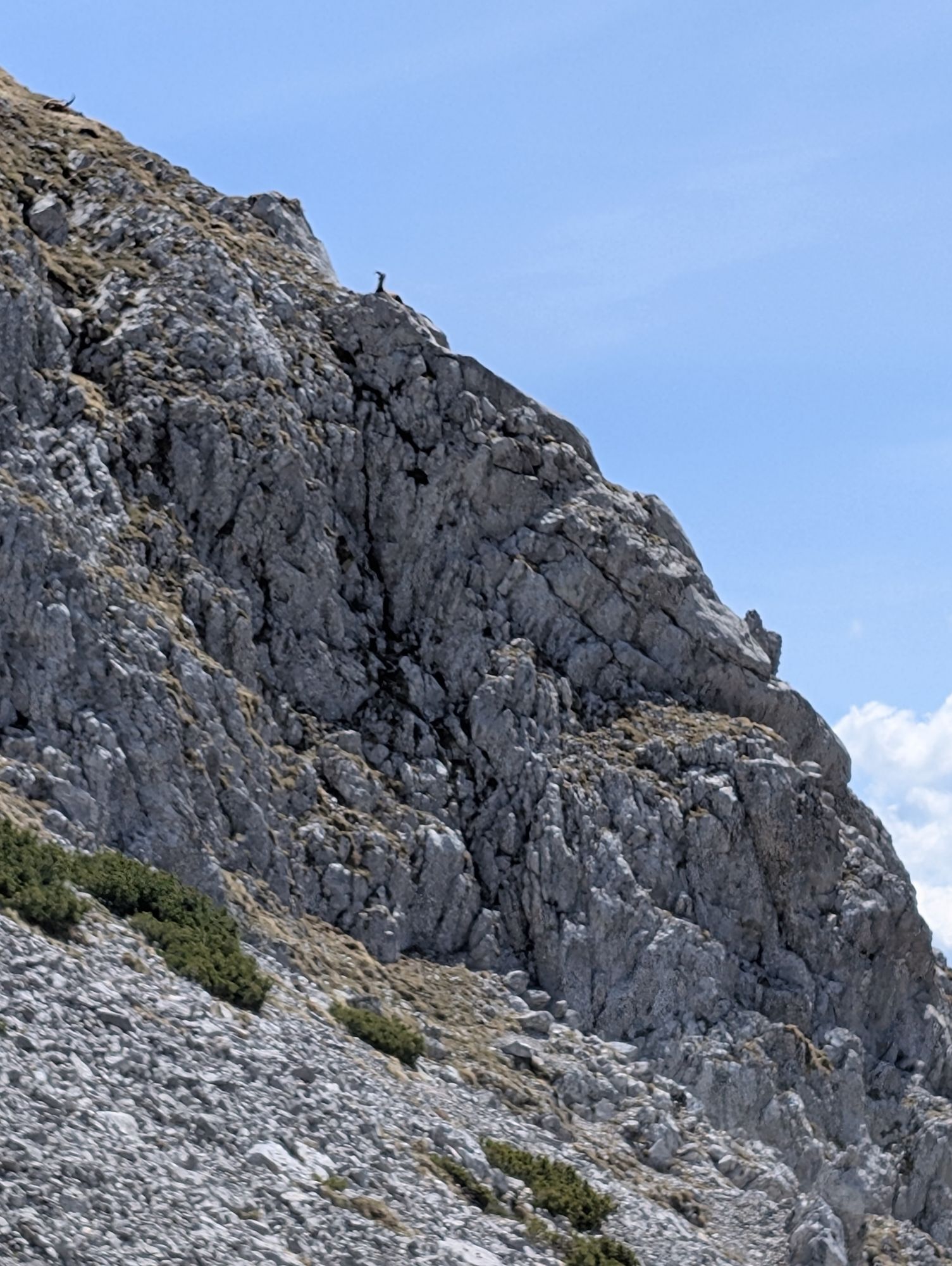
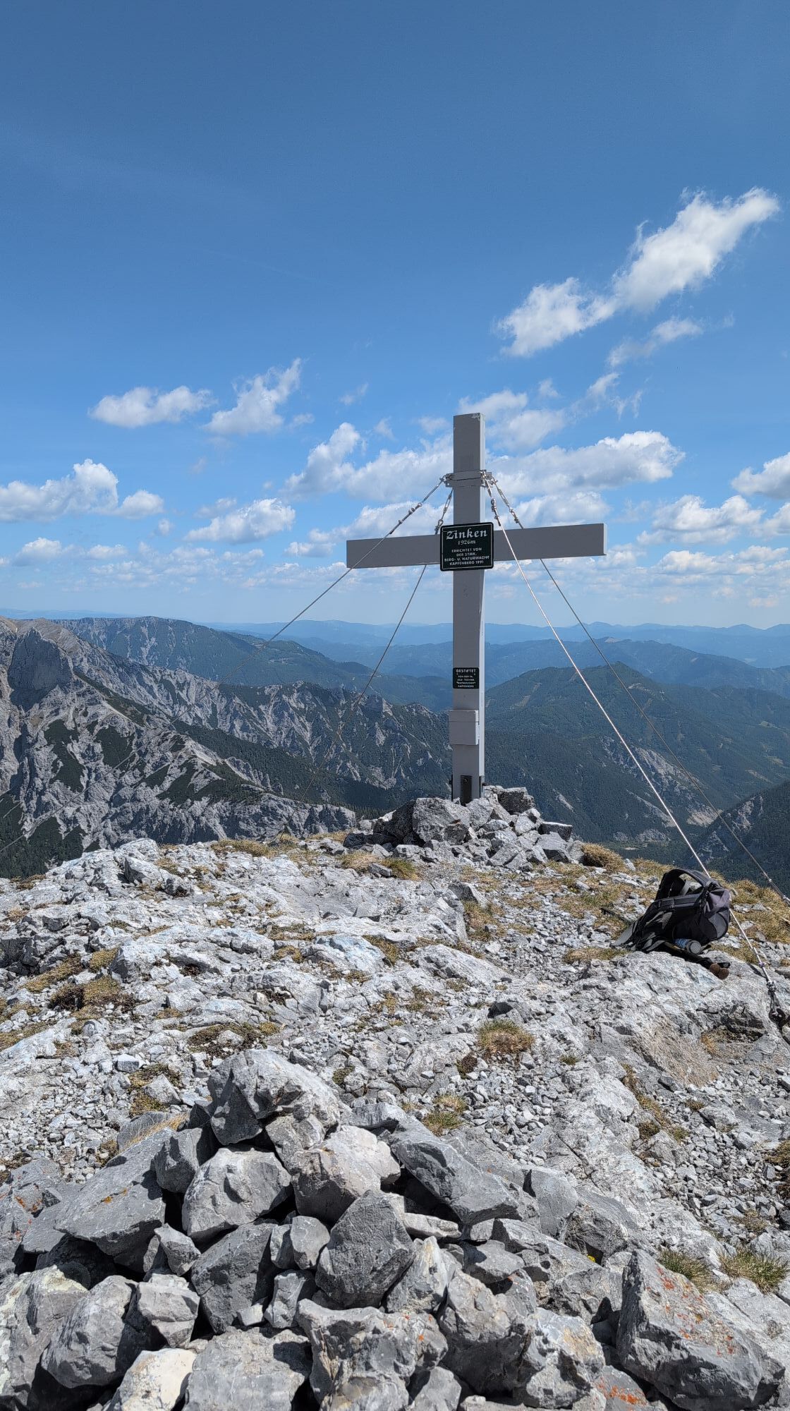
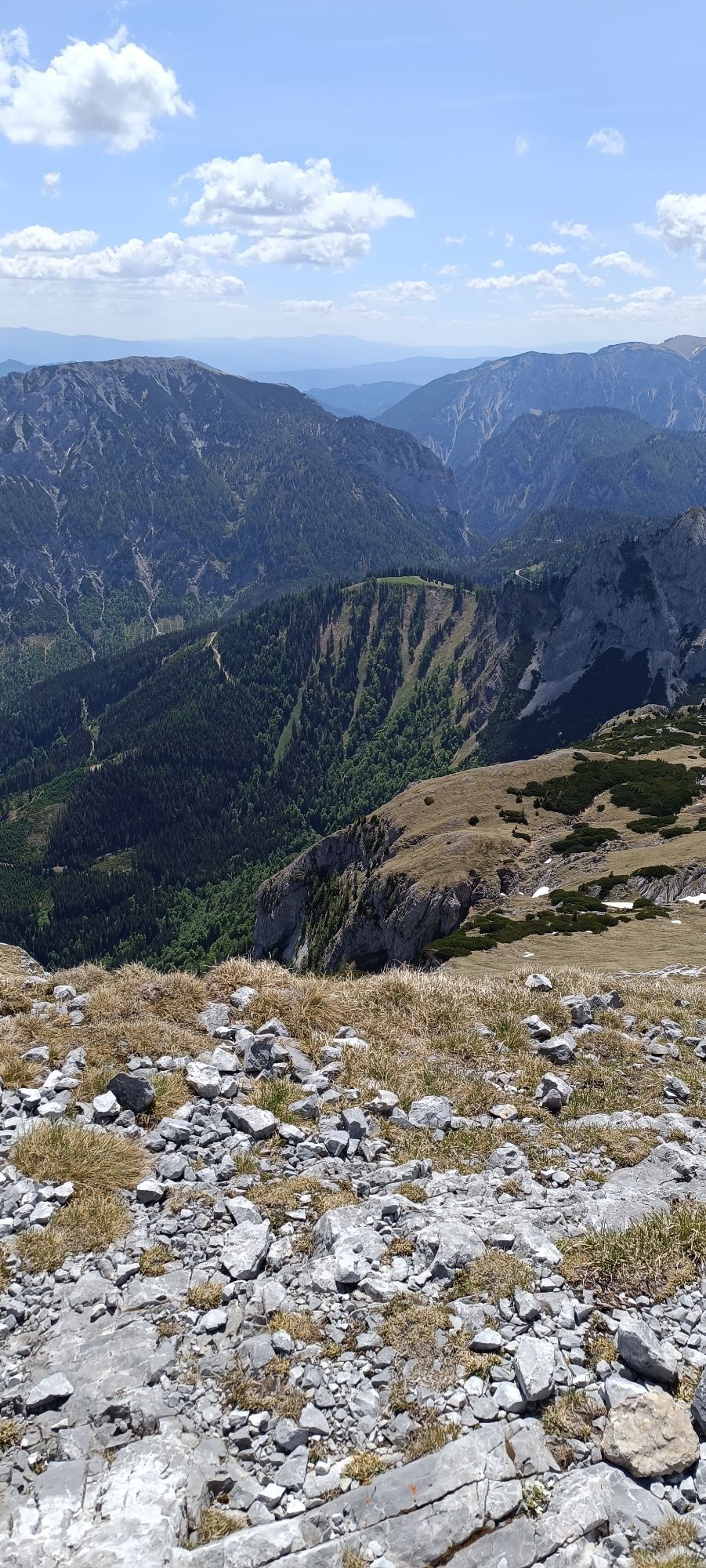
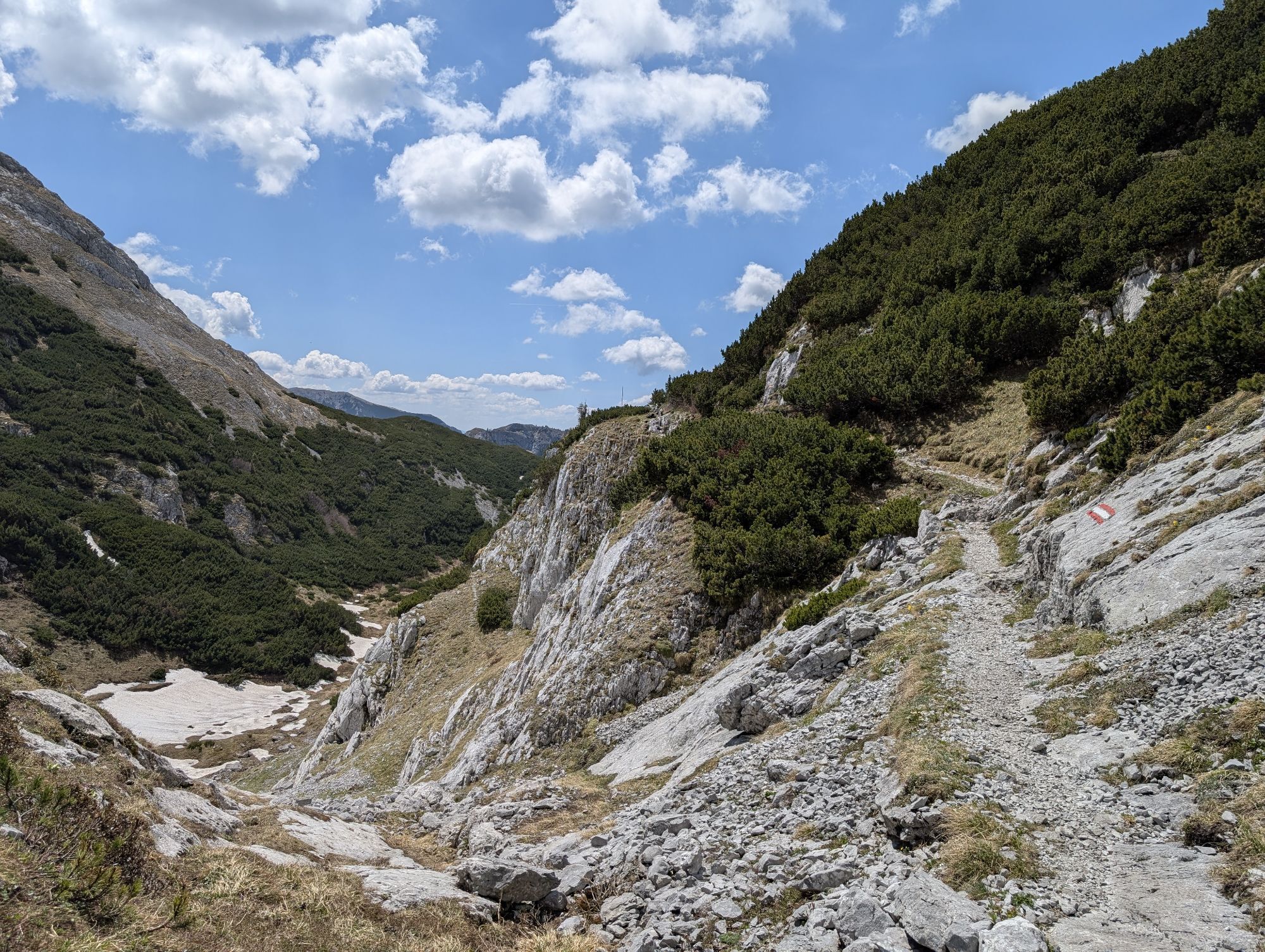
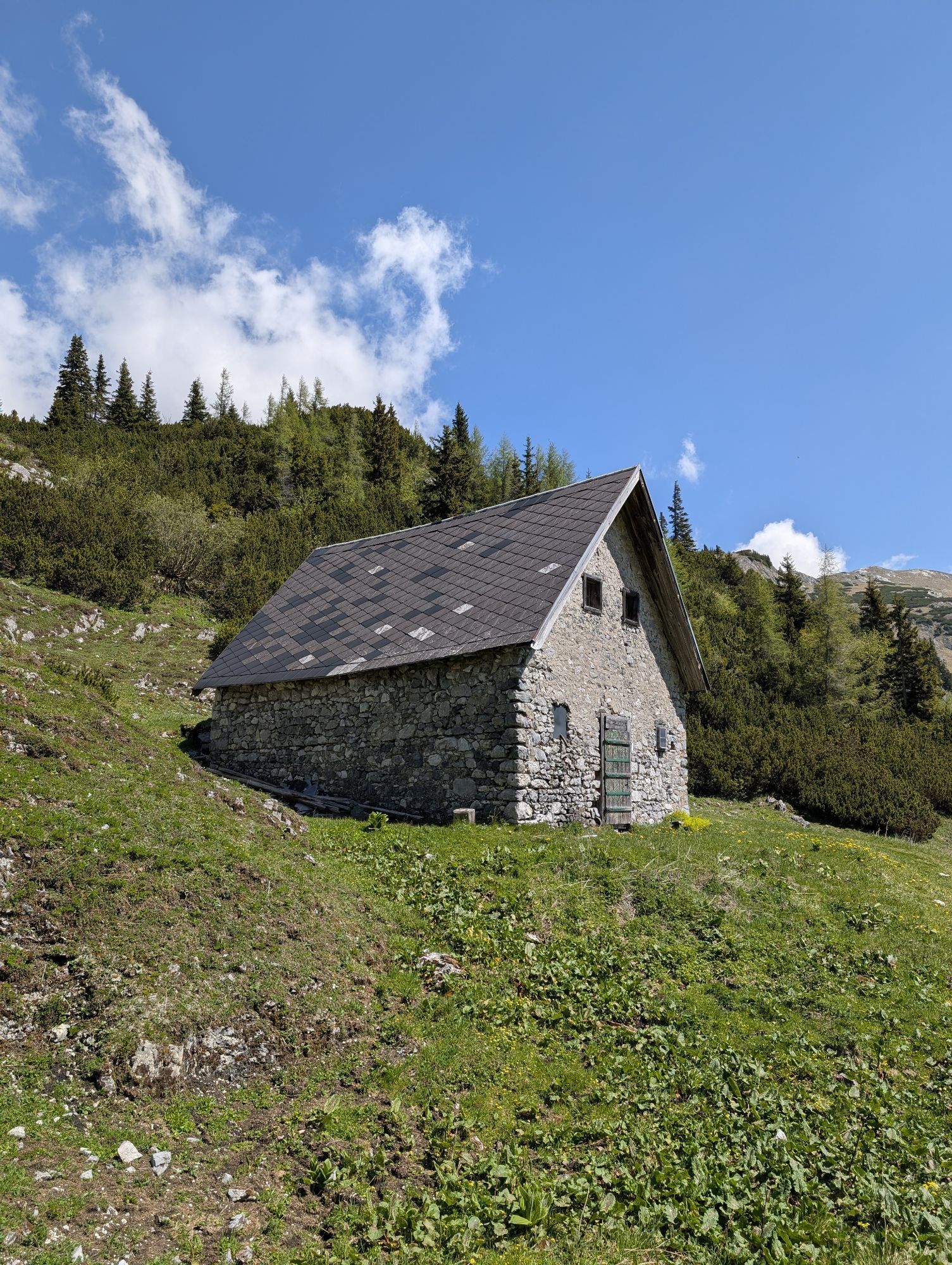
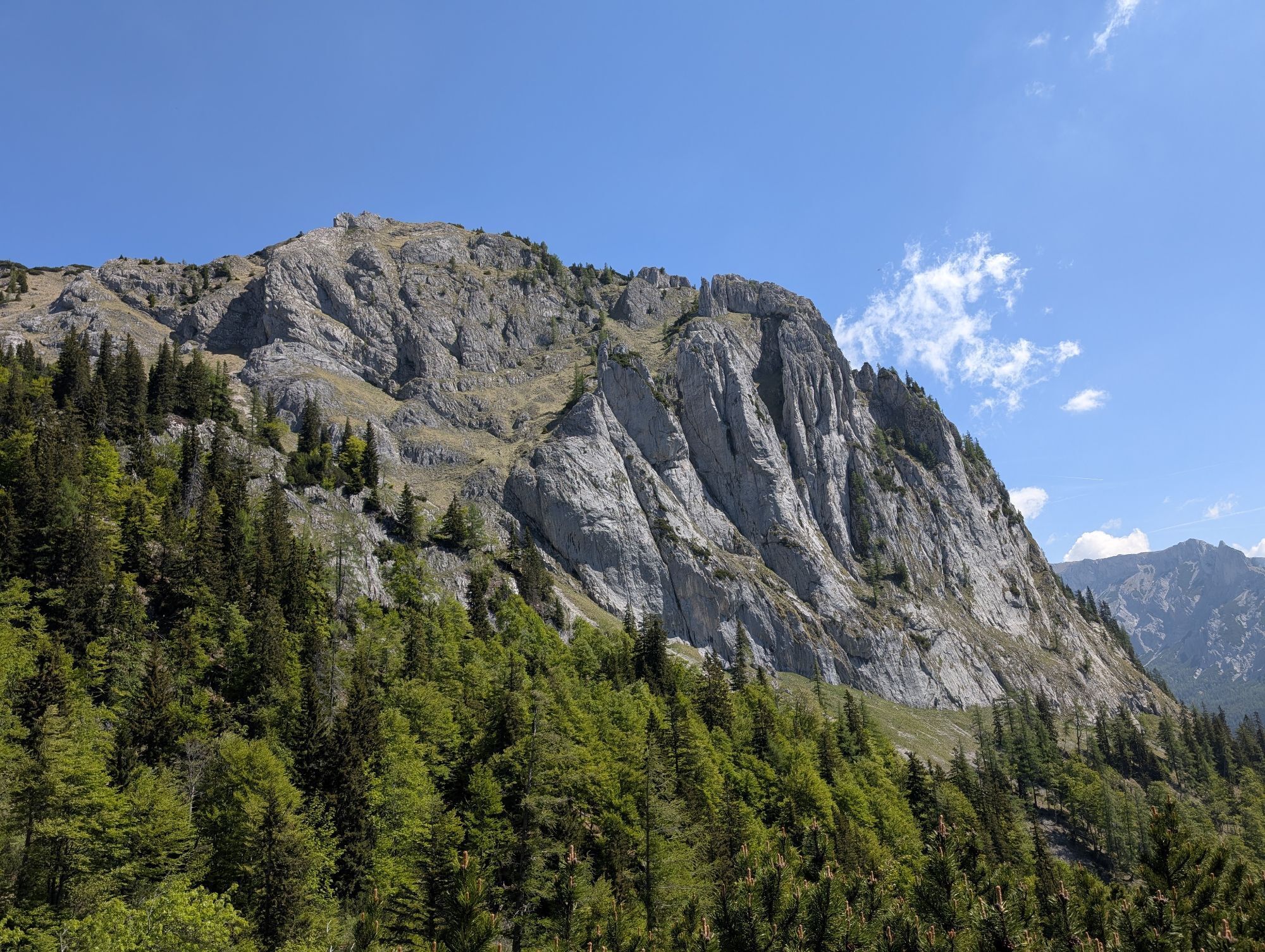
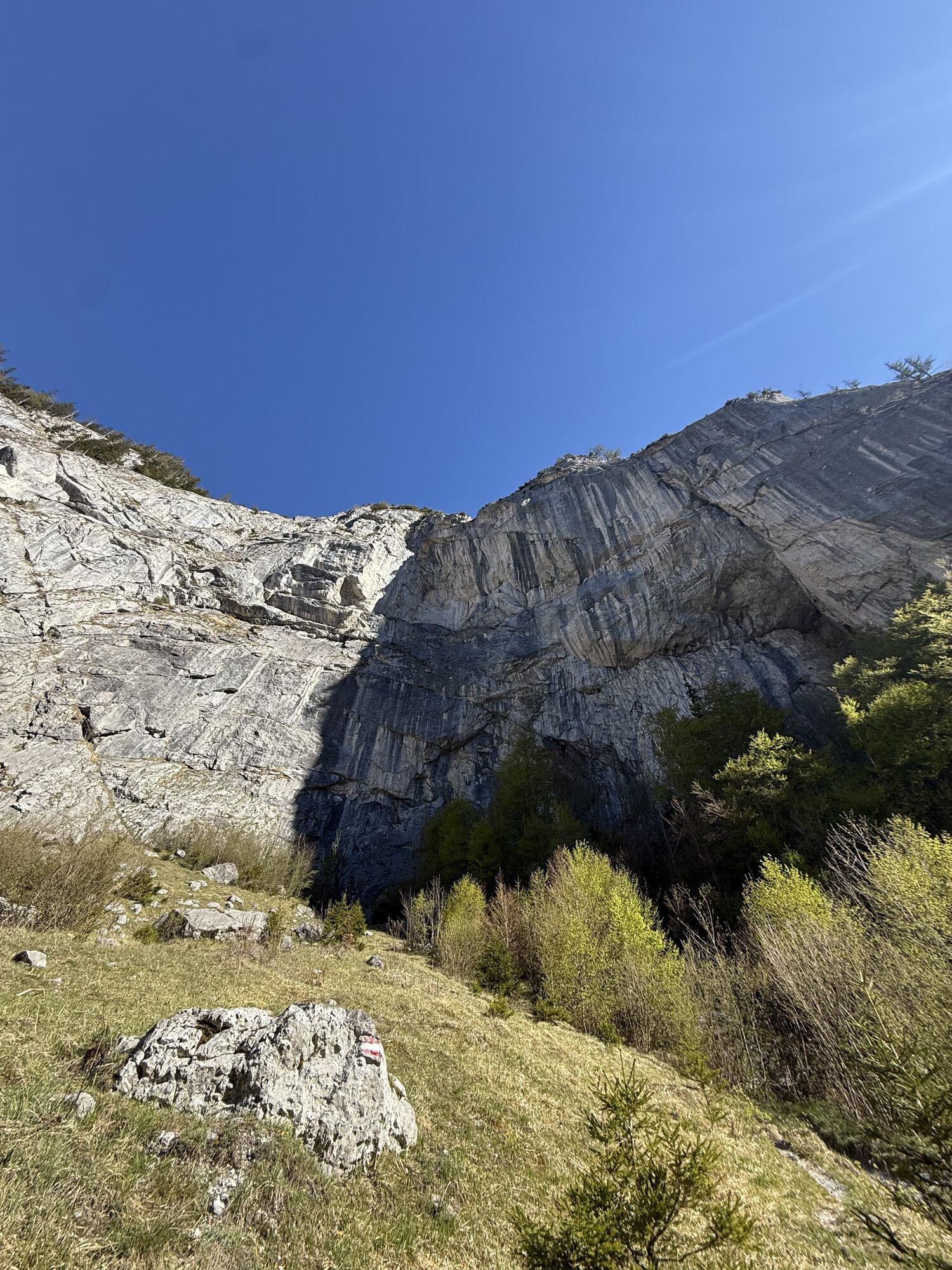
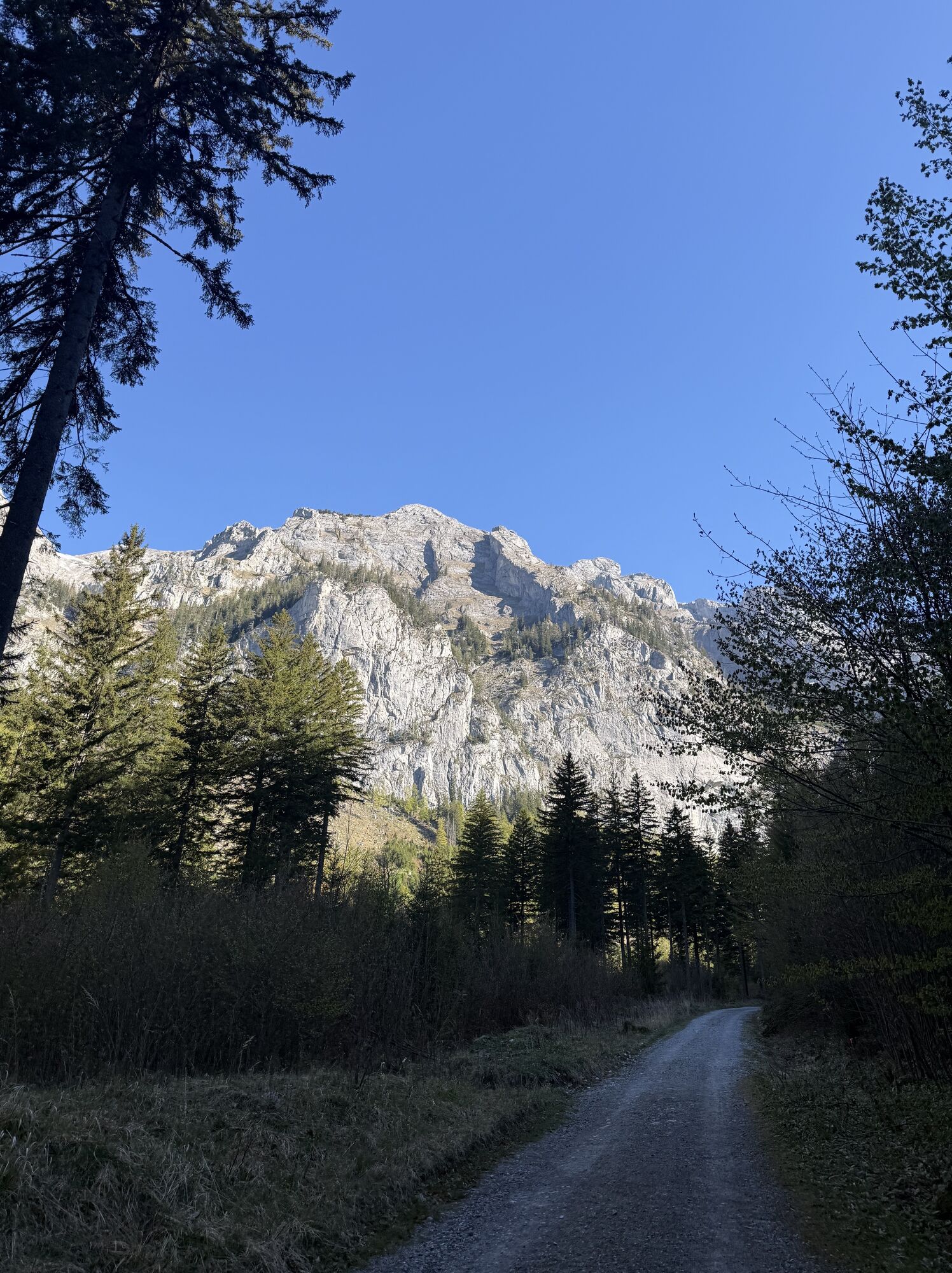
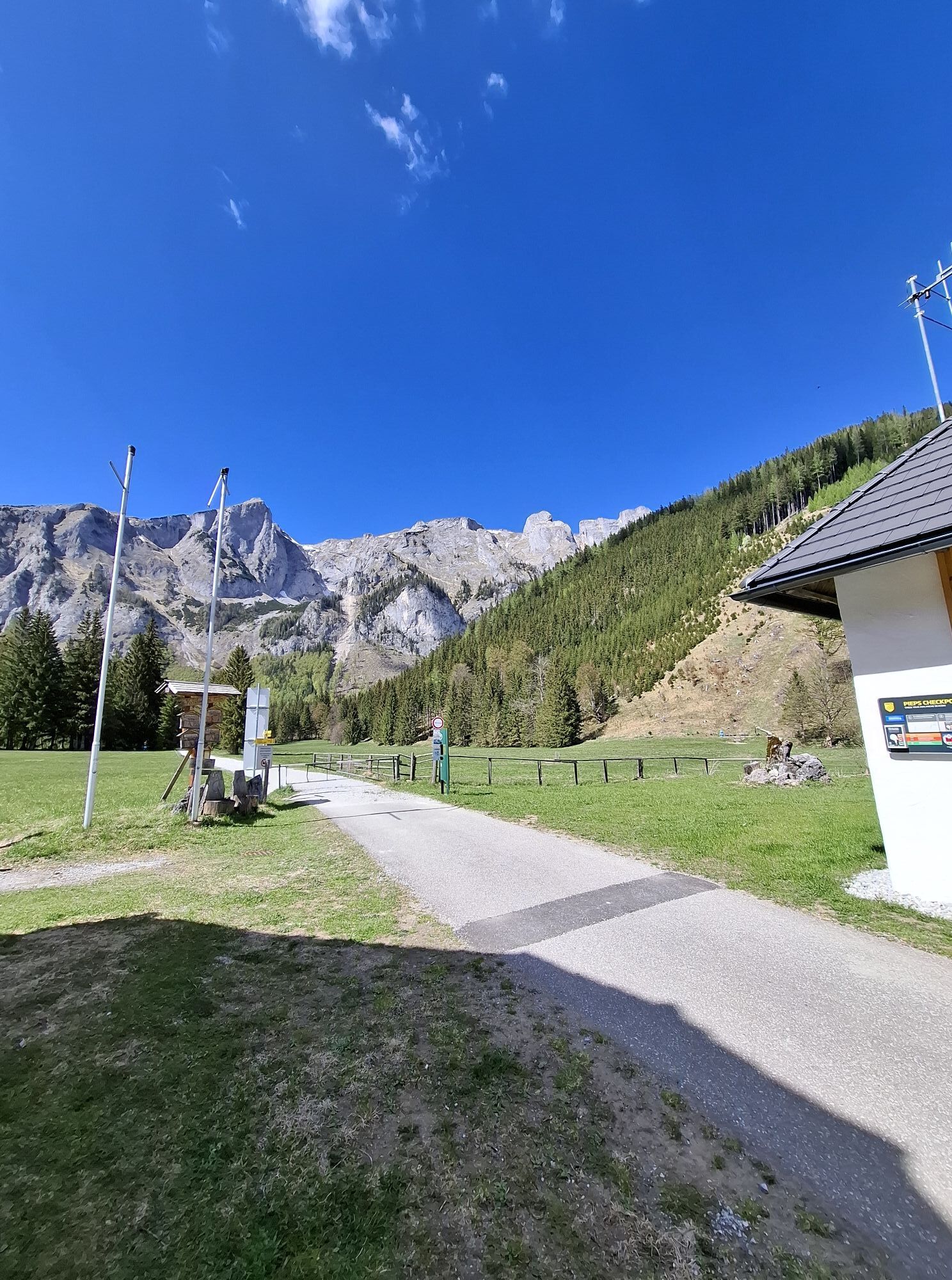
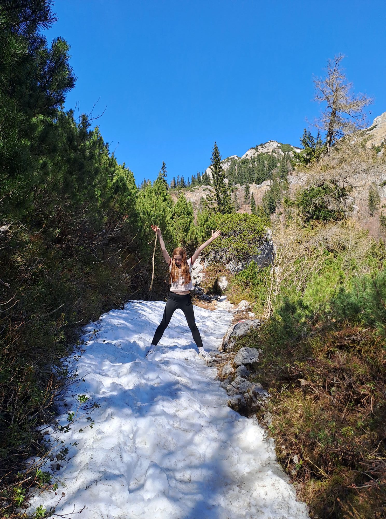
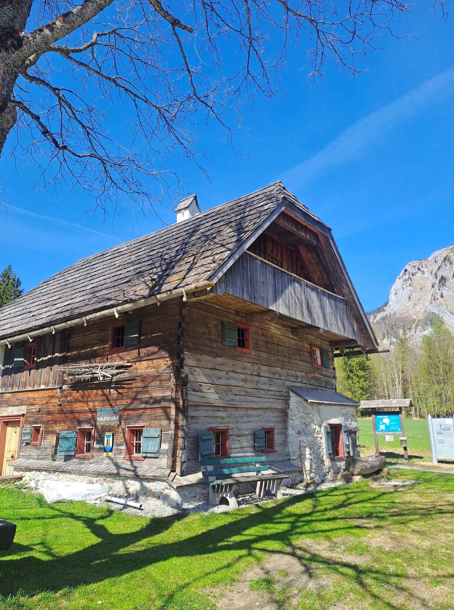
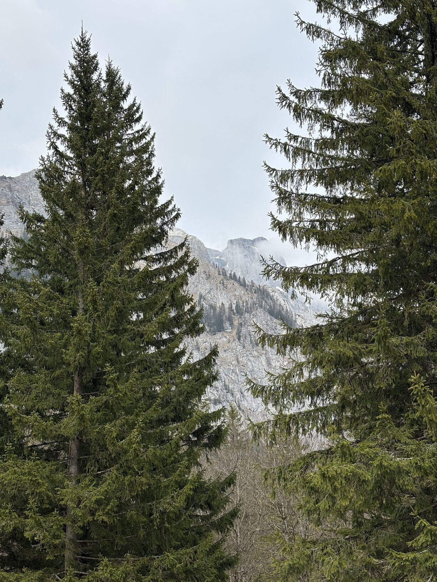
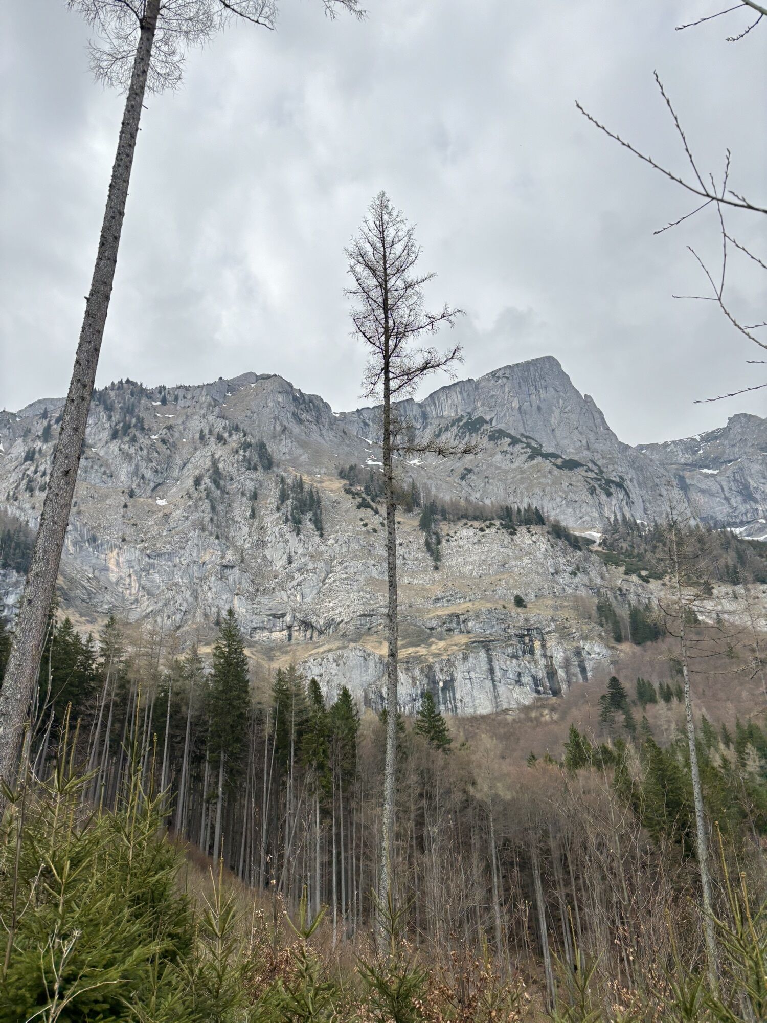
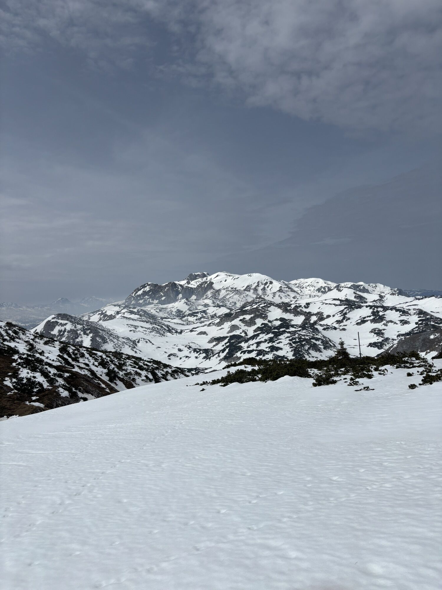
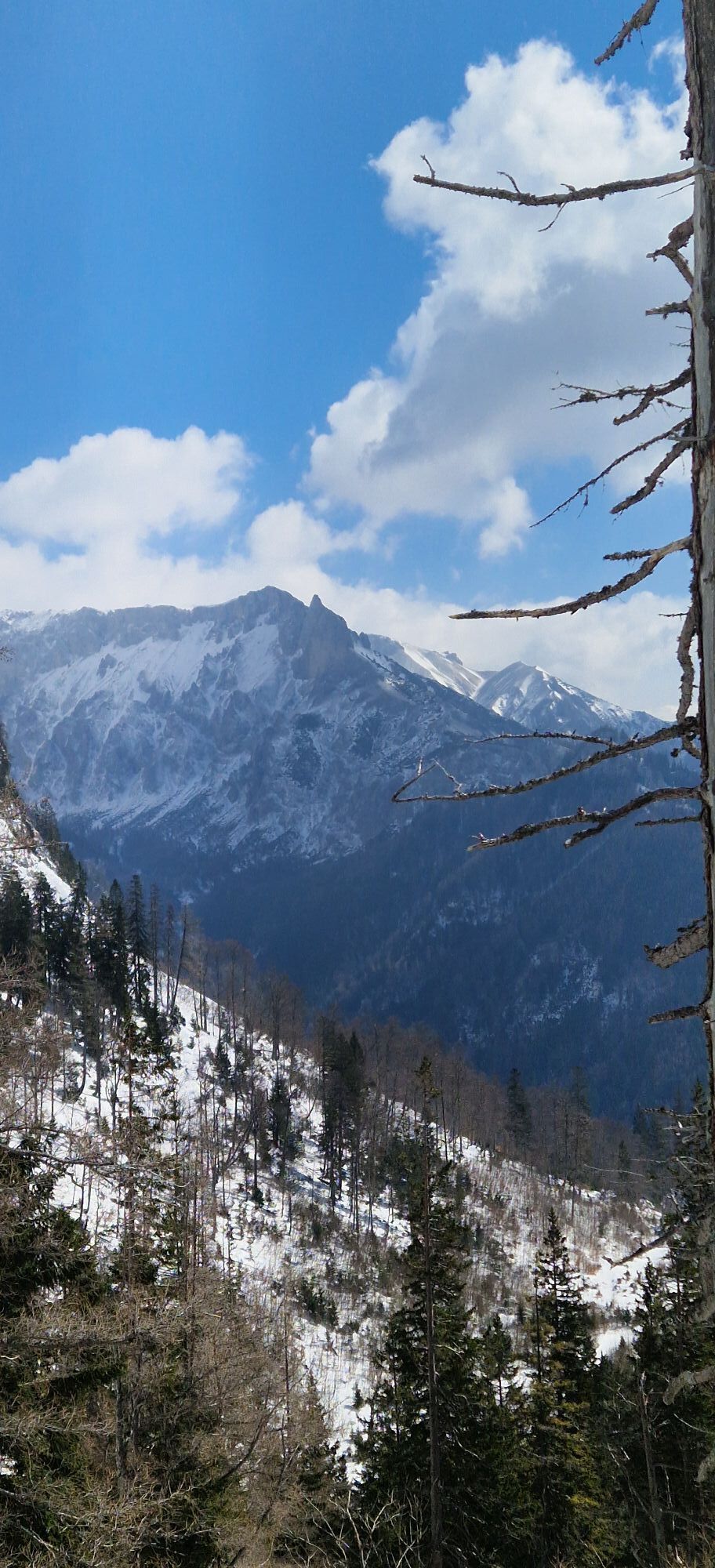
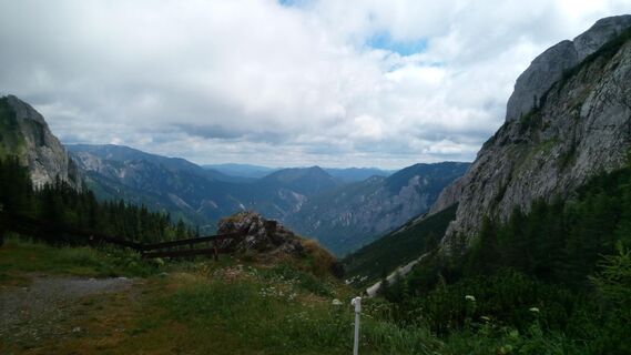
Schönbergkar is a very beautiful and lonely ascent. Not well signed (some red-whte circles confirm you are on the right way) but quite easy and no dangerous. From Bodenbauer, go right following the signs...
Schönbergkar is a very beautiful and lonely ascent. Not well signed (some red-whte circles confirm you are on the right way) but quite easy and no dangerous.
From Bodenbauer, go right following the signs for Trawiestal/Hochschwab. After the first steep step in the wood, when the path becomes flat again, on the left you can see "traces" of the path that goes to the Schönbergkar (no signs, 1145m) After the summit, you can go down the normal way to Häuselalm Hütte.

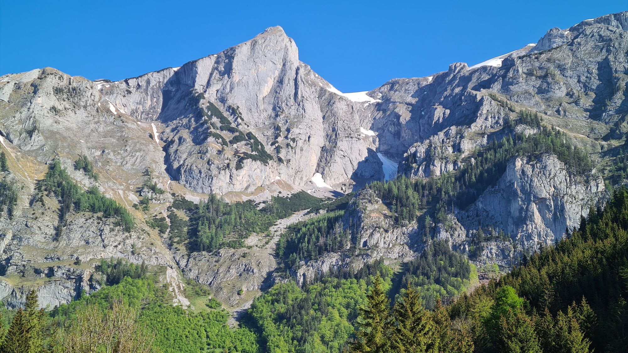
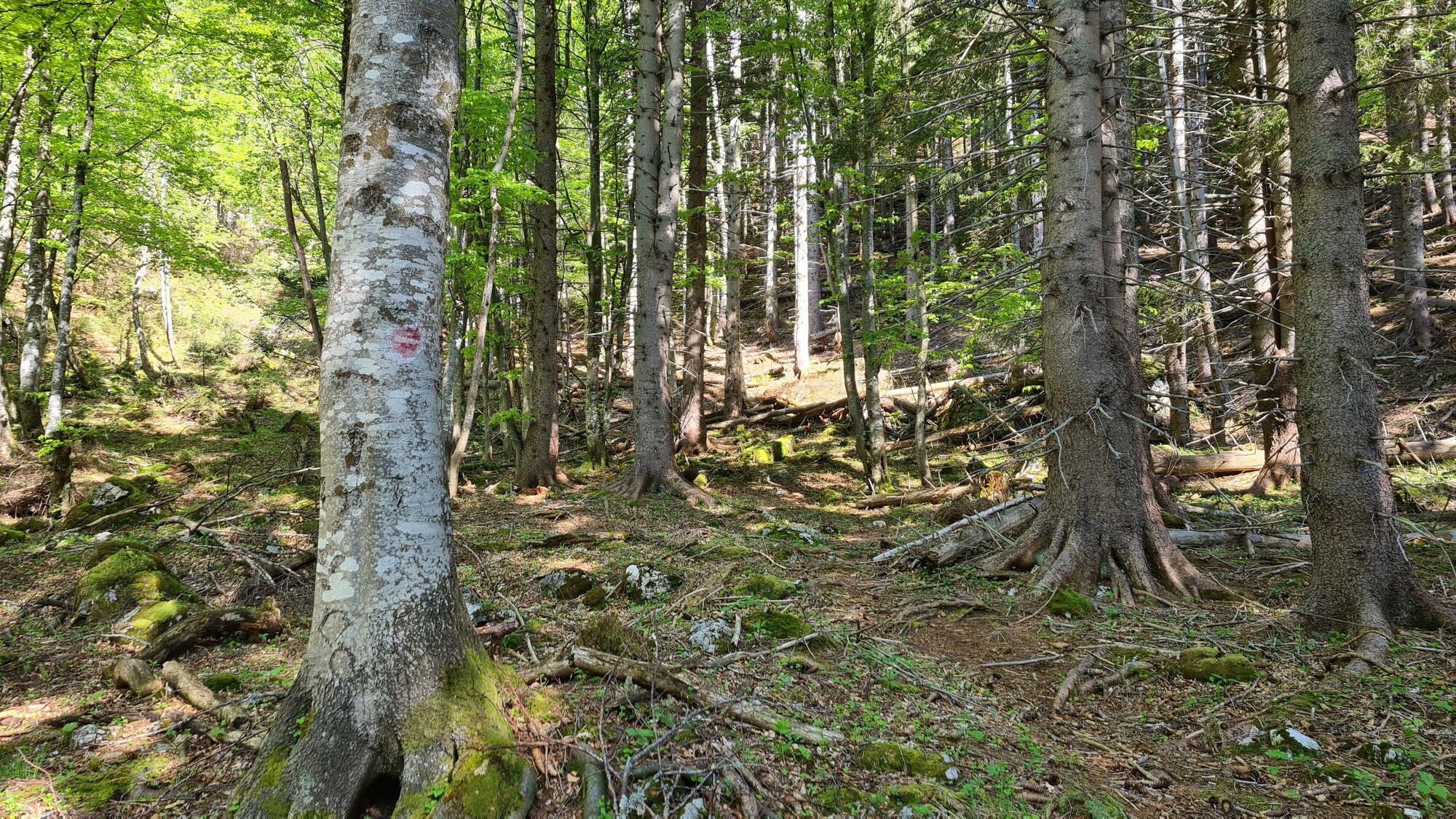
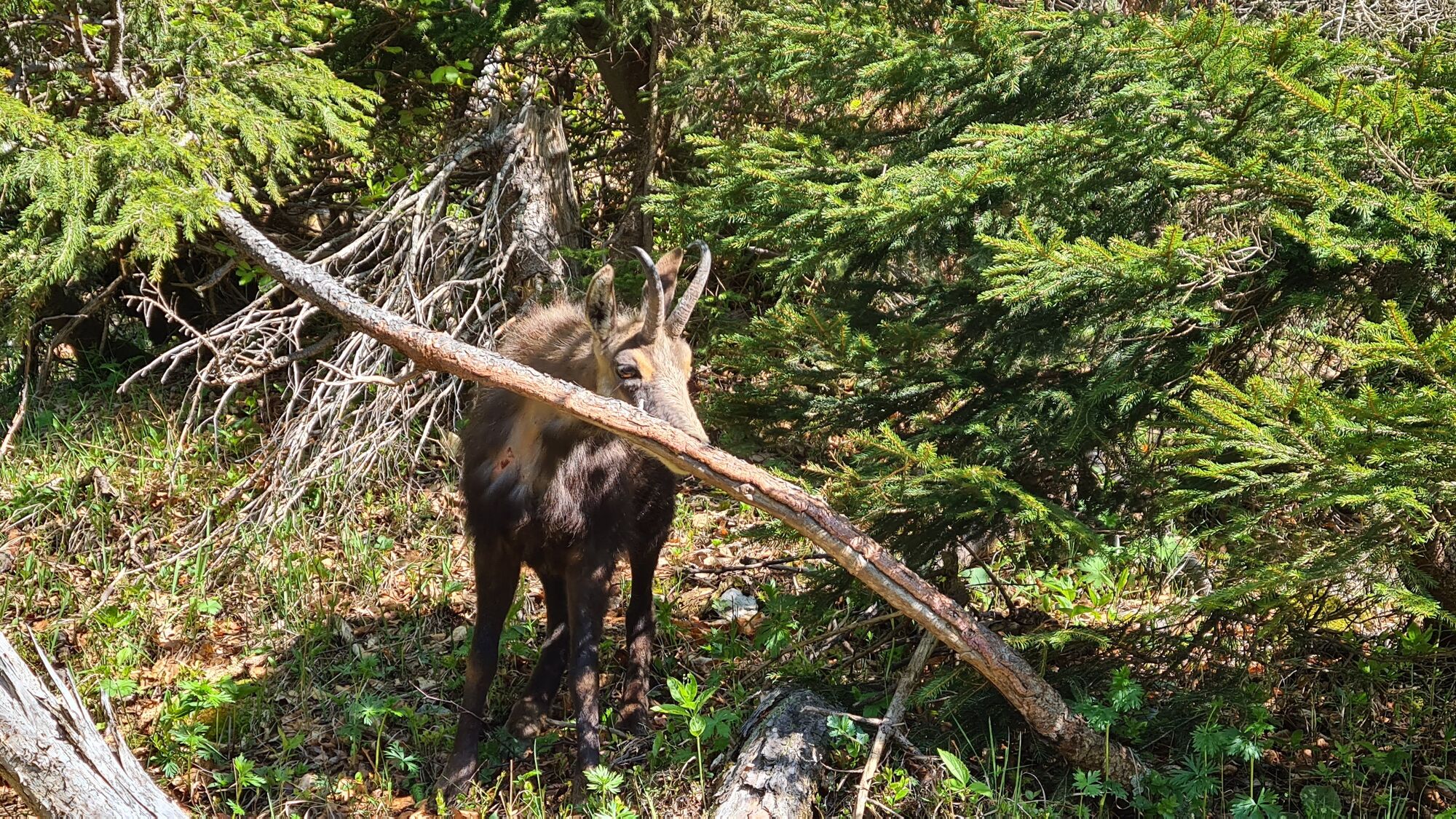
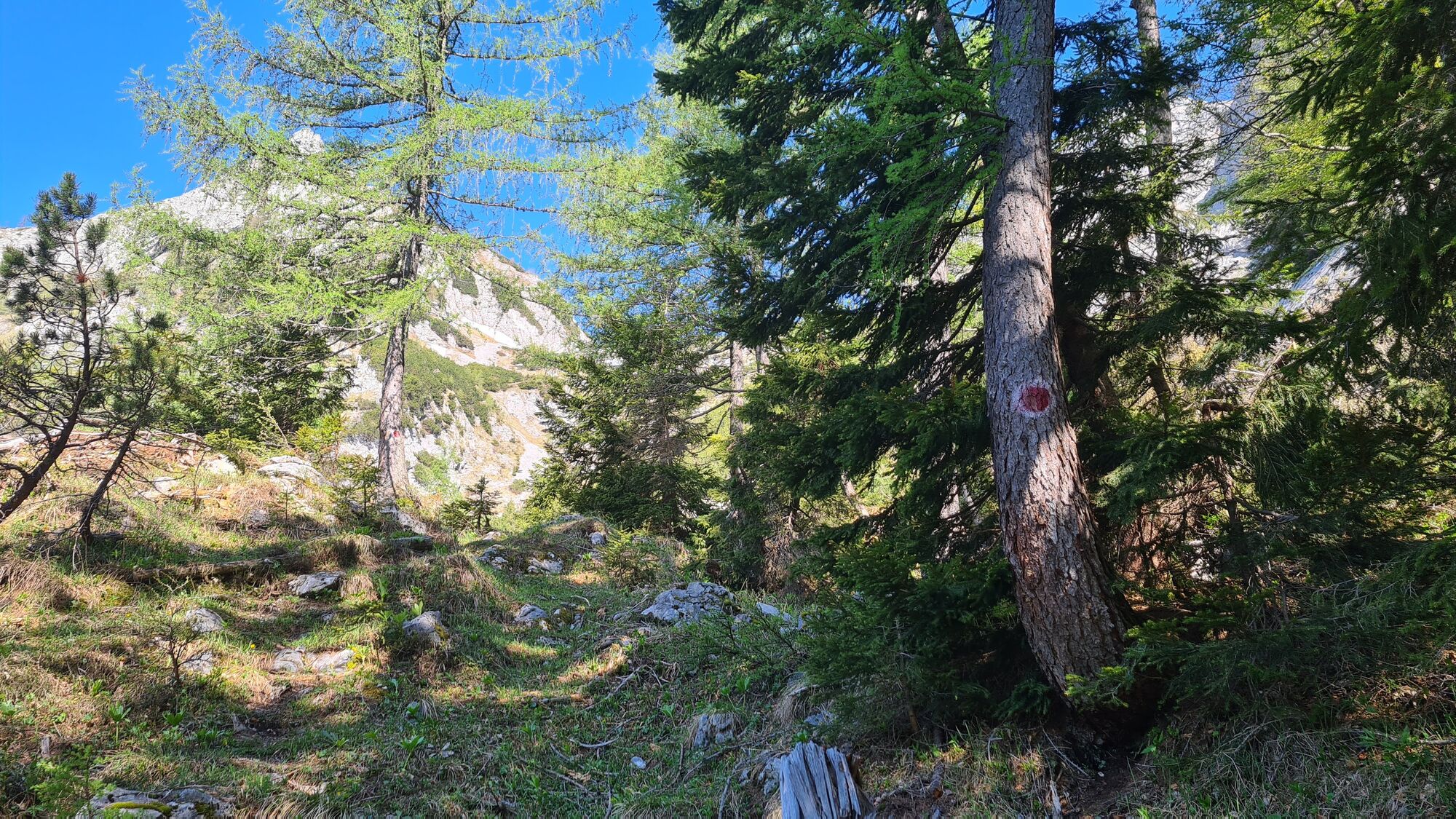
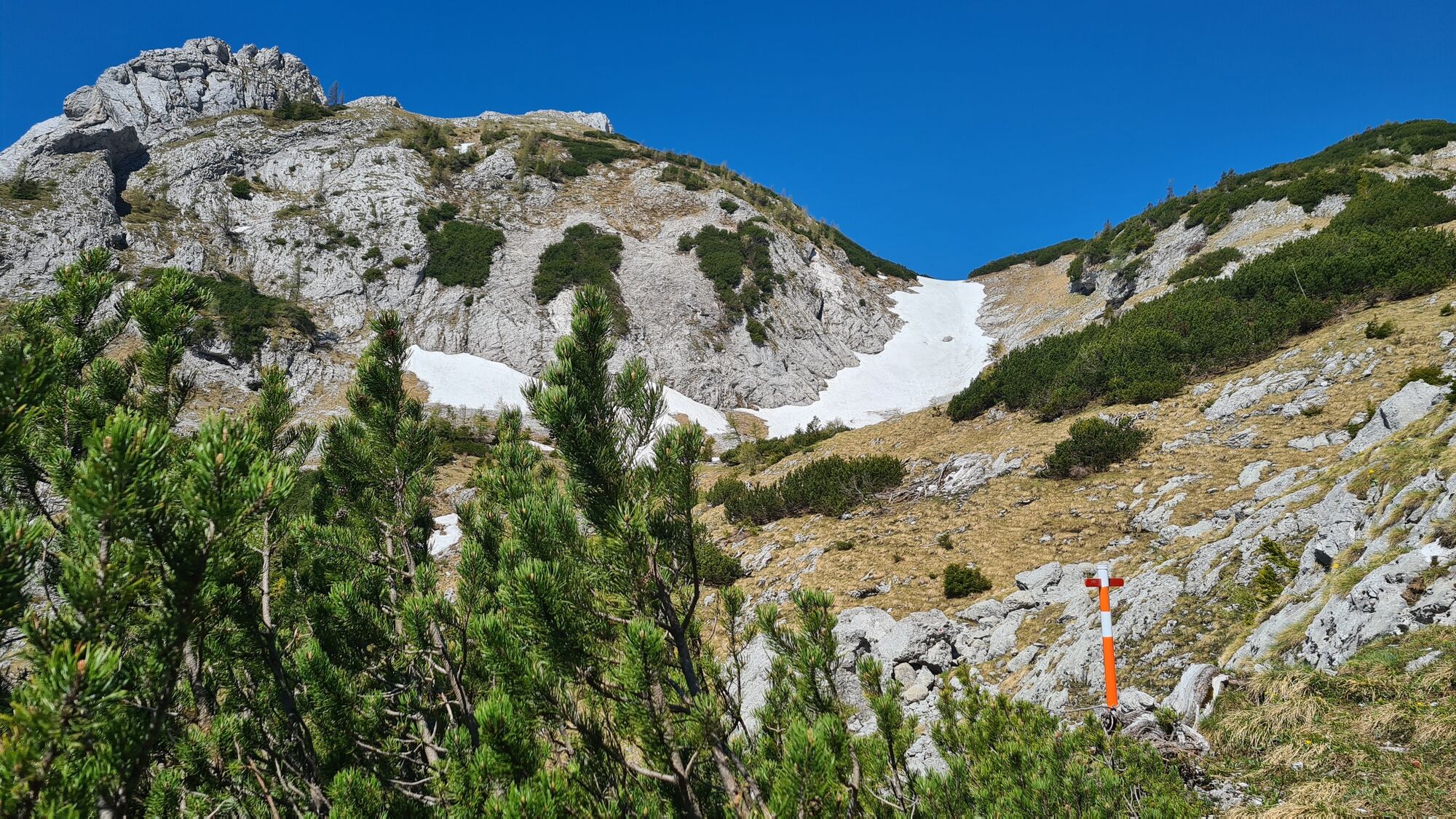
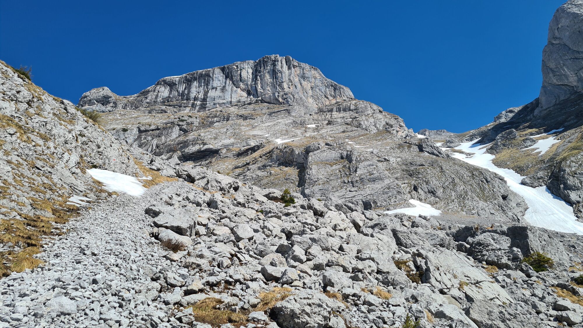
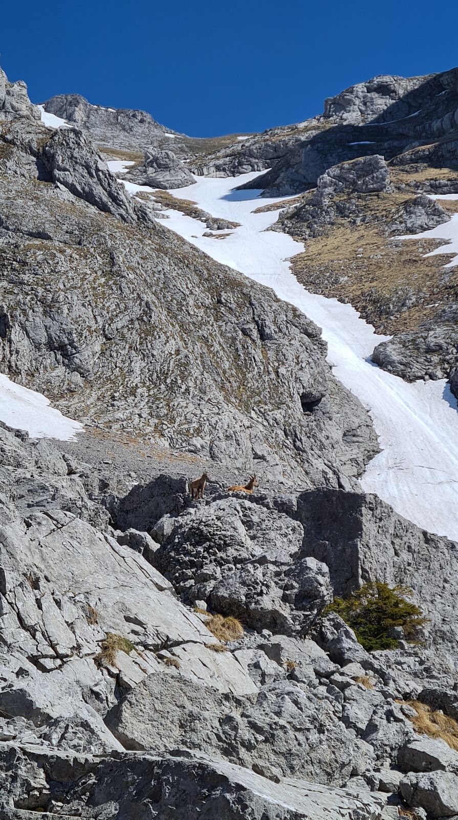
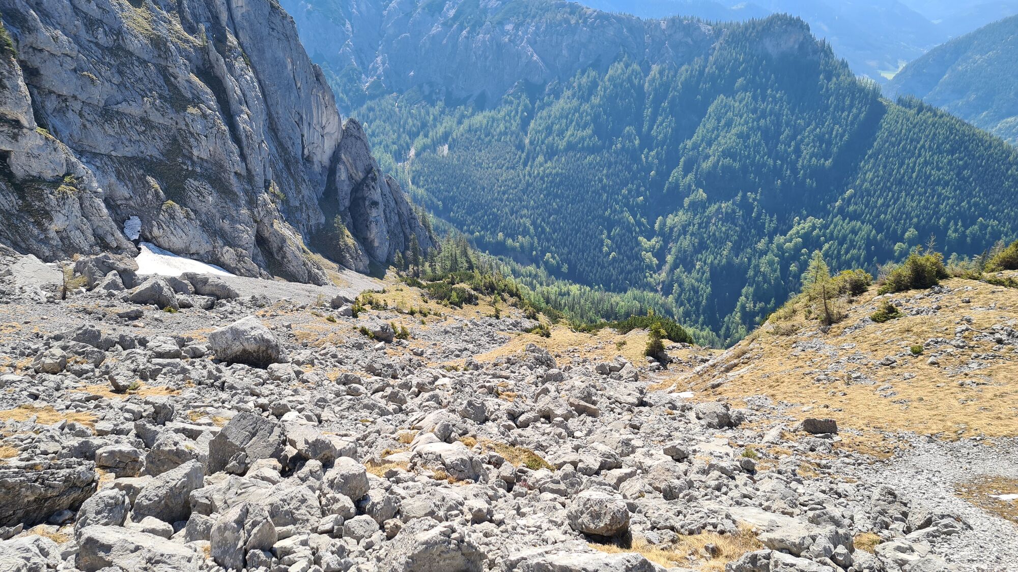
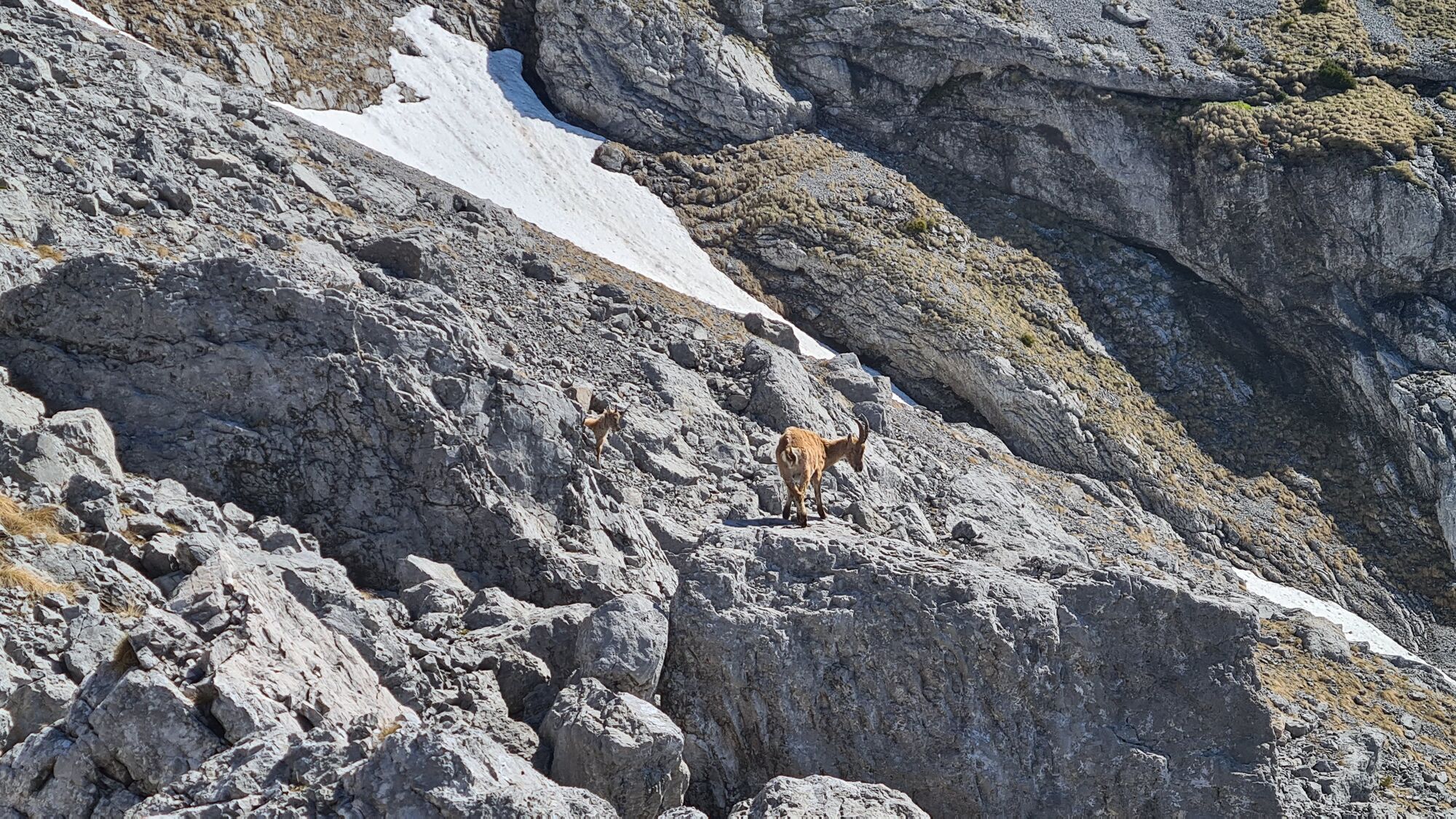
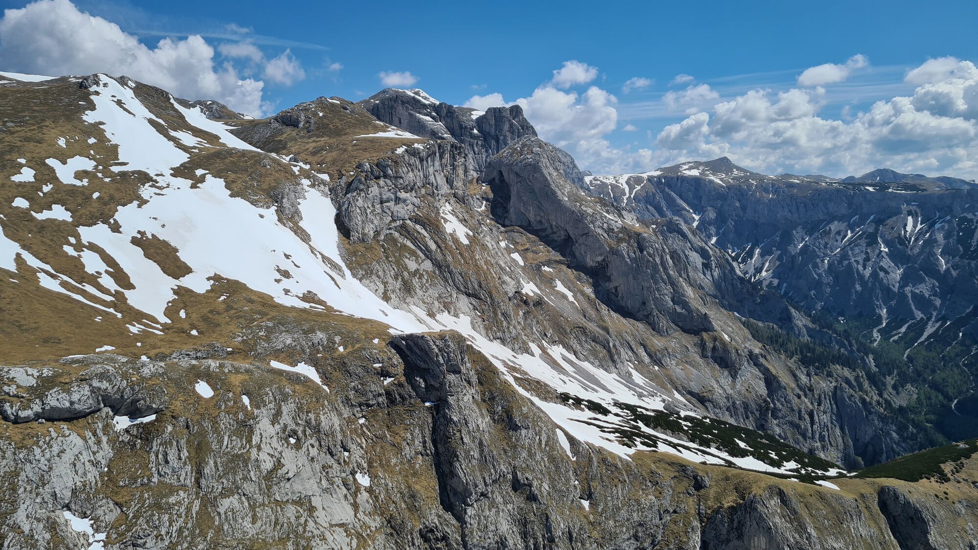

Häuselalm on the way back or Bodenbauer at the end.
BondenBauer (free parking lot)




Actividades a lo largo del recorrido
-

Thörl, Steiermark/Österreich
29.08.2026 – Senderismo -

Zinken über Häuslalm und Schottenkogel
18.07.2026 – Senderismo -

Thörl, Steiermark/Österreich
24.05.2026 – Senderismo -

Thörl Gehen
24.05.2026 – Senderismo -
Thörl, Steiermark/Österreich
02.05.2026 – Senderismo -
Thörl, Steiermark/Österreich
26.04.2026 – Senderismo -

Thörl, Steiermark/Österreich
21.03.2026 – Senderismo -
Thörl, Steiermark/Österreich
21.03.2026 – Senderismo -

Thörl, Steiermark/Österreich
23.12.2025 – Senderismo -

Bodenbauer-Zinken-HäuslAlm
31.08.2025 – Excursión de alta montaña -

Thörl, Steiermark/Österreich
31.08.2025 – Senderismo -

Tragöß-Sankt Katharein, Steiermark/Österreich
28.06.2025 – Senderismo -

Zinken vom Bodenbauer
27.10.2024 – Senderismo de montaña
Rutas populares en los alrededores
-
4,6
Übers G'hackte auf den Hochschwab
pesadoSenderismo 7,51 km -
4,6
Messnerin
medioSenderismo 8,90 km -
4,8
Rundwanderung von Tragöß auf die Sonnschienalm
medioSenderismo 17,4 km -
4,7
Rund um den Grünen See
luzSenderismo 3,63 km -
4,5
Jassingalm
luzSenderismo 5 km -
5,0
Hochschwabgruppe - Hochschwab 2.277m - vom G'hackten bis zur Fölz
medioSenderismo de montaña 19,5 km -
4,9
Über den „Hochturm 2080m“ mit Blick auf den Grünen See - Rundwanderweg - Oberort
medioSenderismo 25,3 km -
4,9
Bodenbauer - Hochschwab - G`hackte - Häuselalm
pesadoSenderismo 18,7 km -
4,8
/\ TAC Spitze, Griesmauer und Polster
pesadoSenderismo 9,82 km -
4,8
"Messnerin 1835m" mit gewaltigen 360 Grad Panorama
medioSenderismo 16,4 km
Senderismo y rastreo


No se pierda las ofertas y la inspiración para sus próximas vacaciones
Su dirección de correo electrónico se ha añadido a la lista de correo.





