






Wildfeld via Hochalmhütte and direct descent from Nebelkreuz

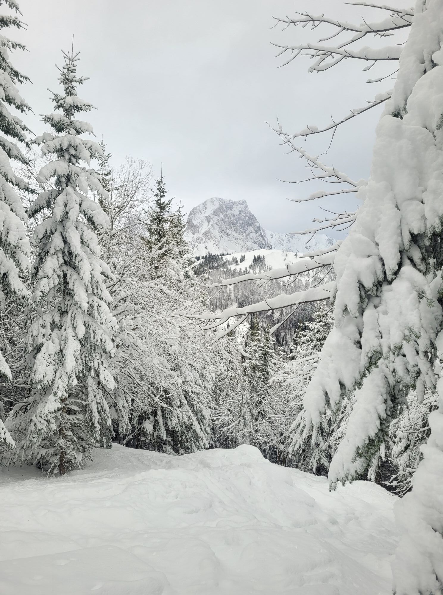
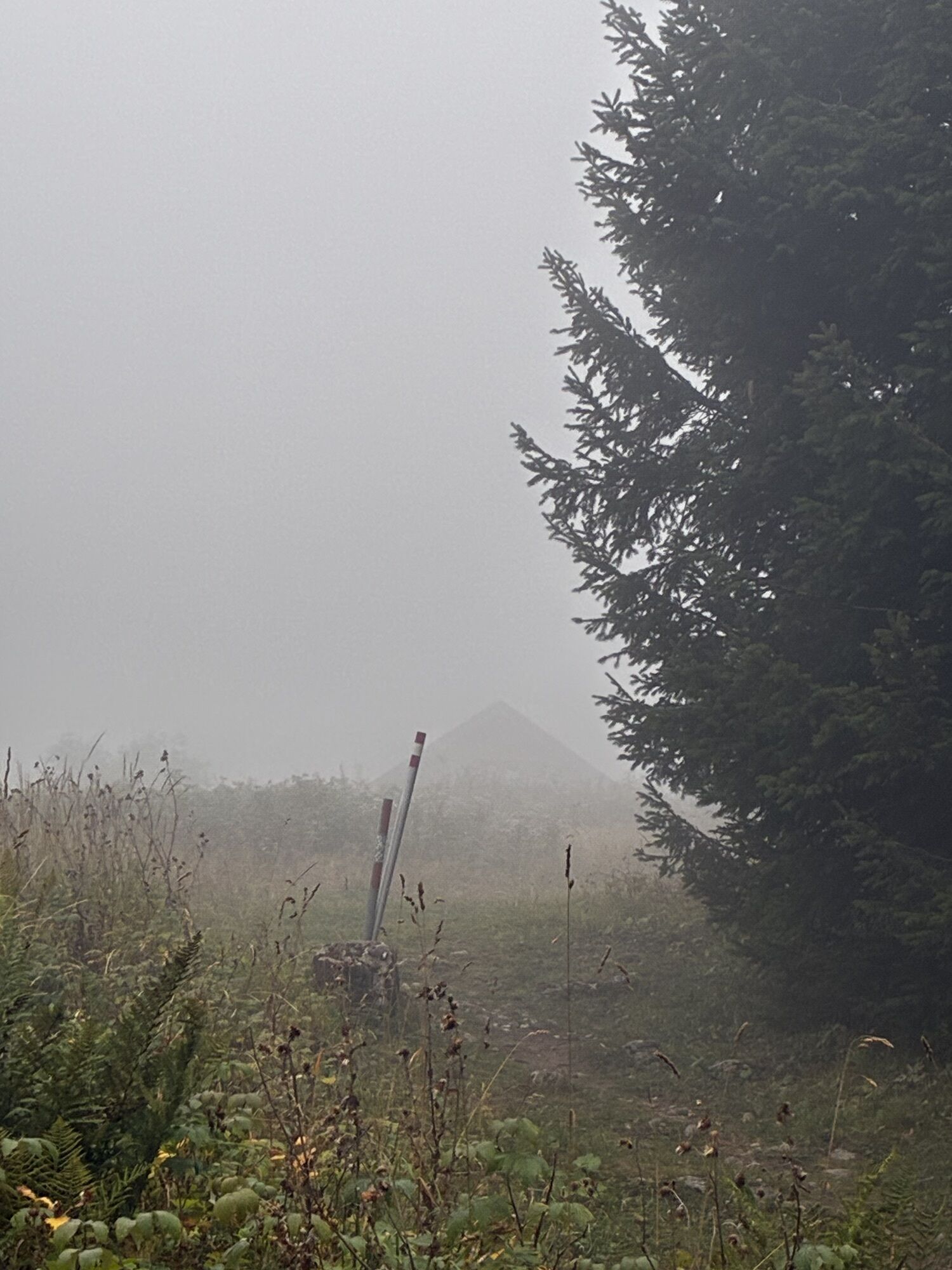
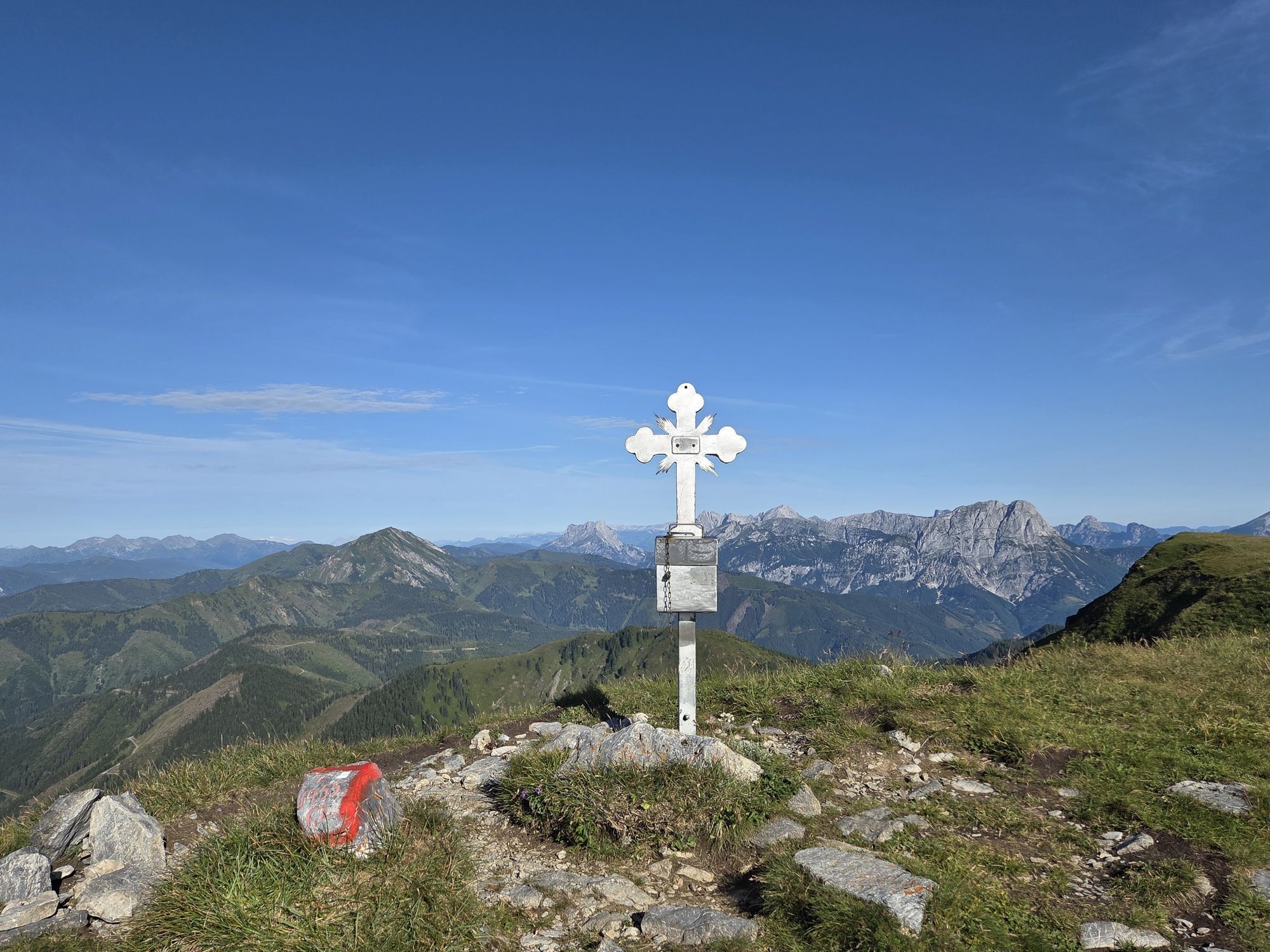
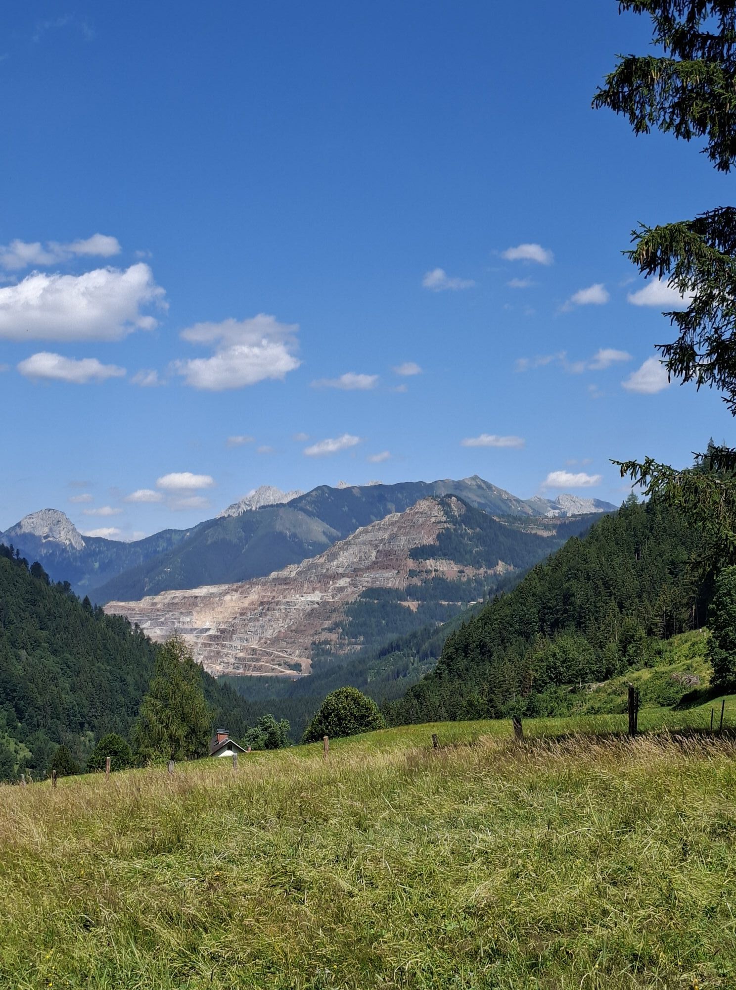
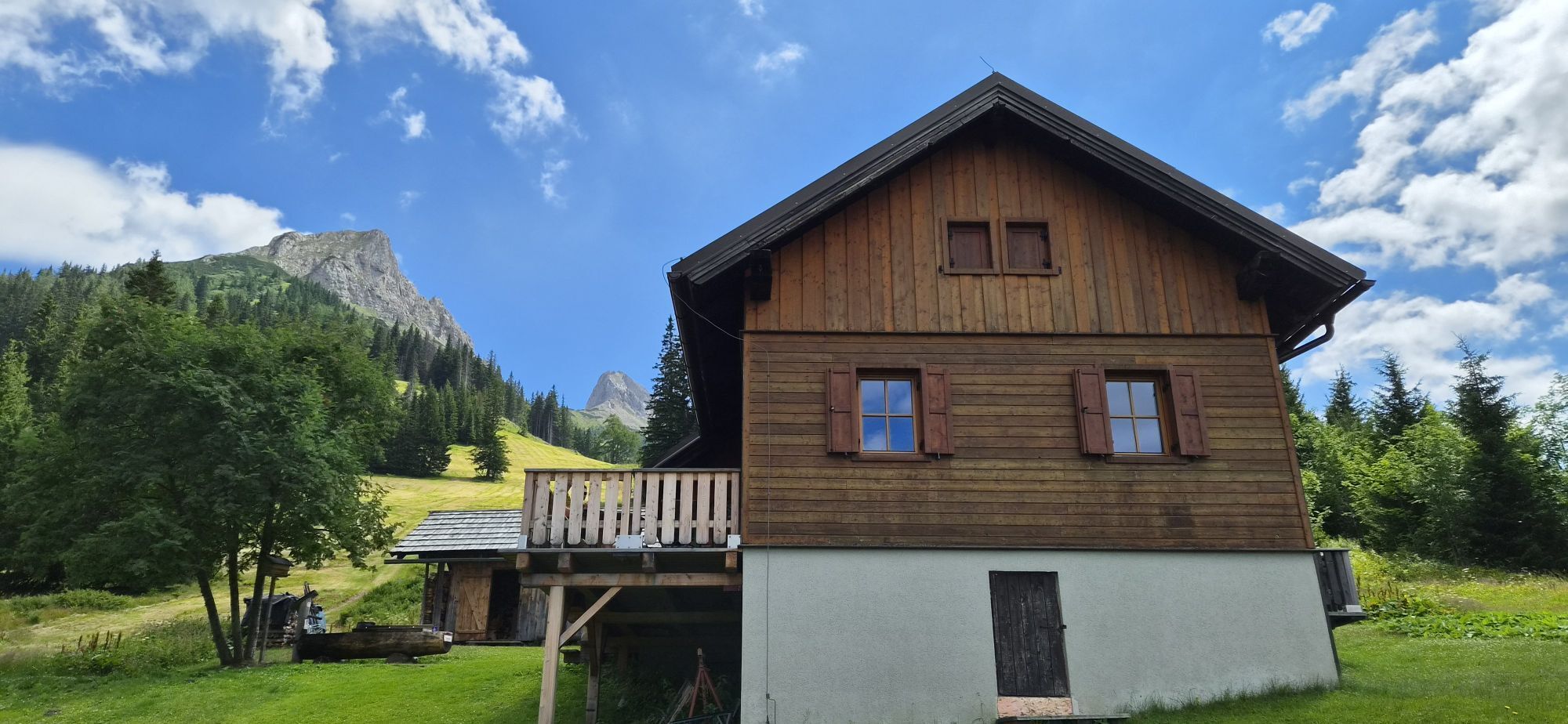
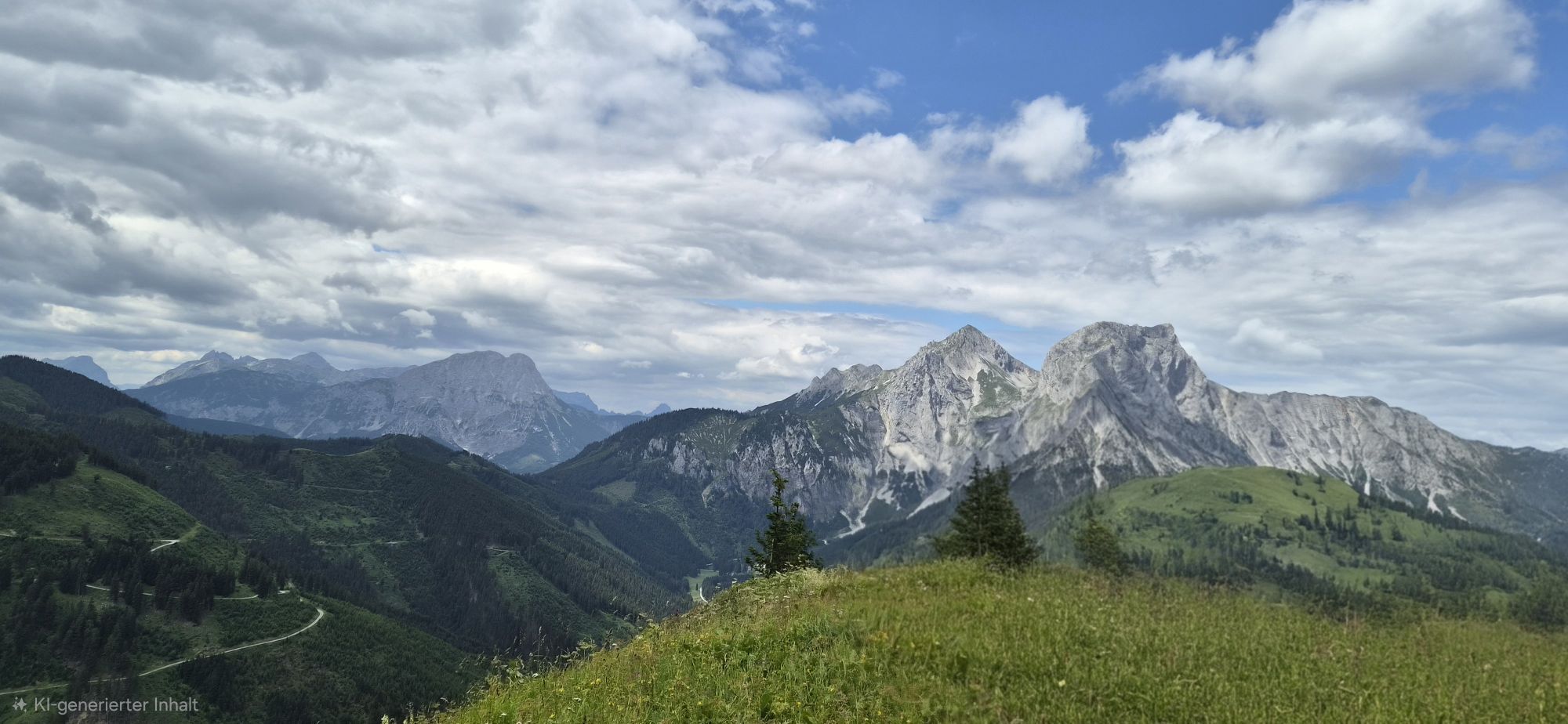
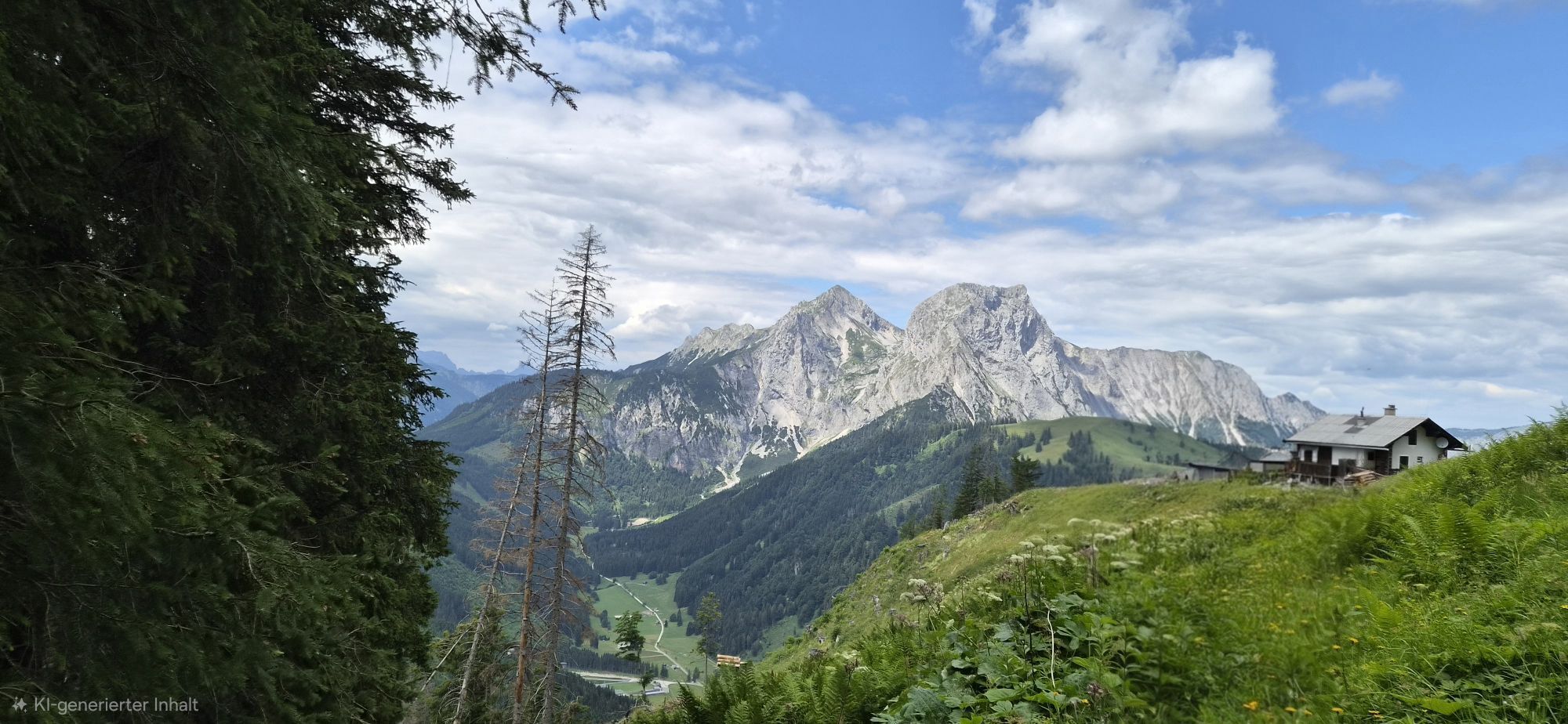
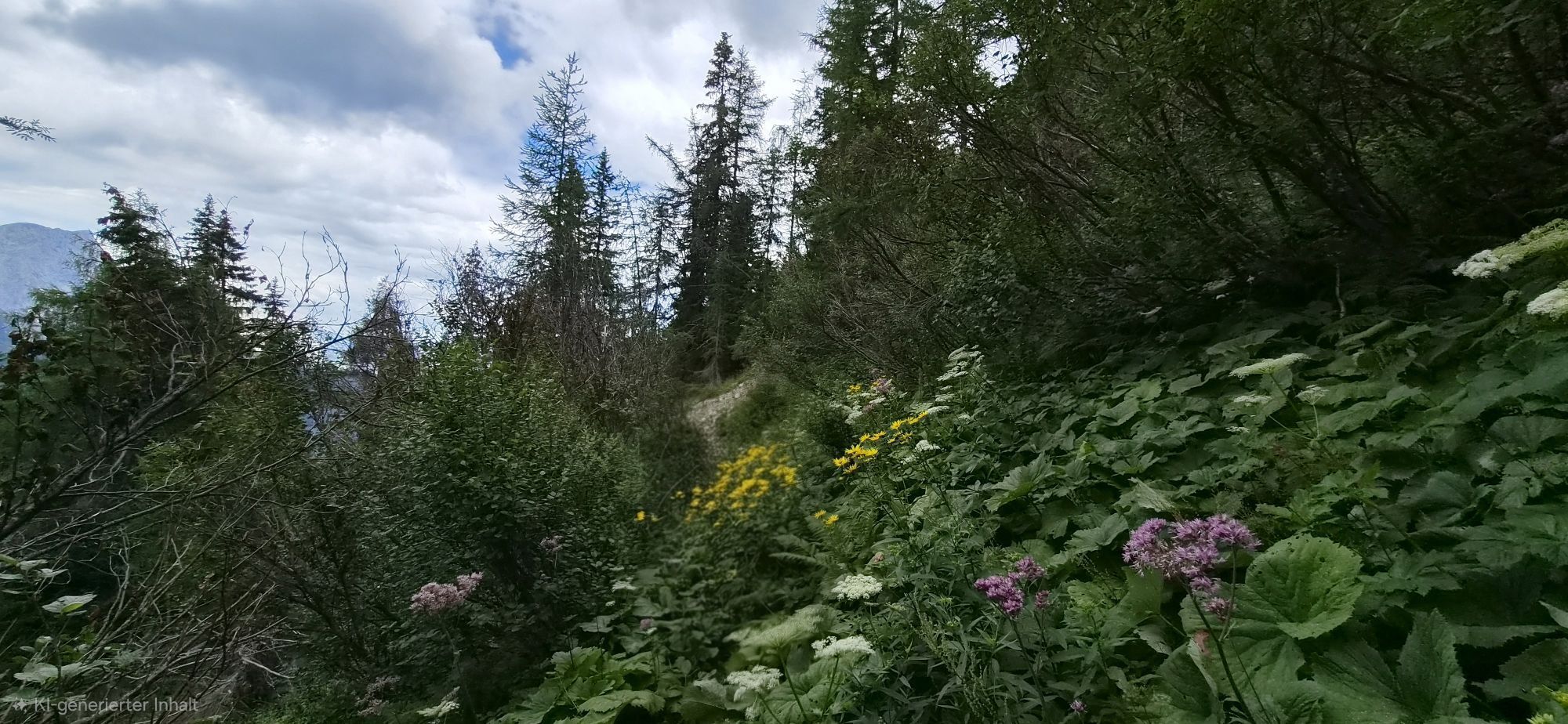
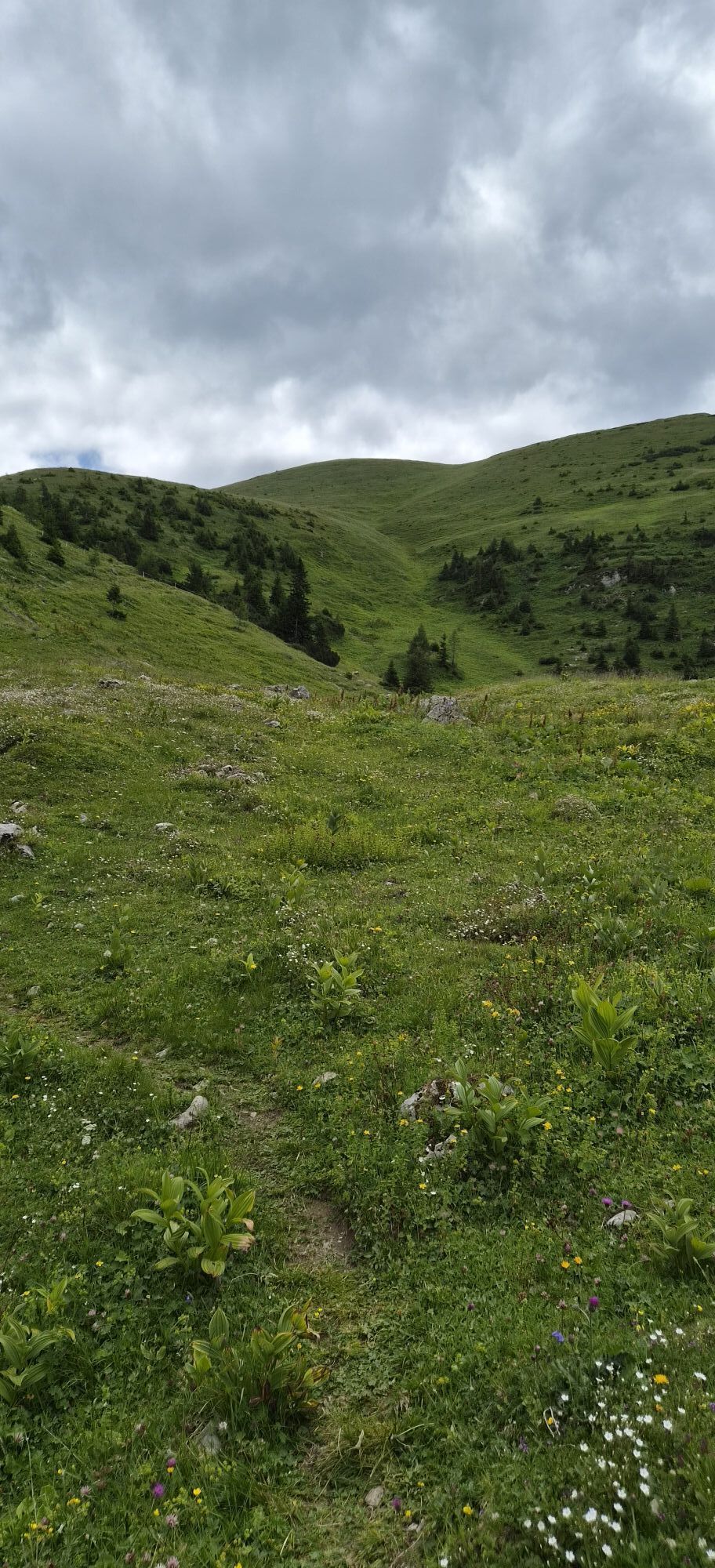
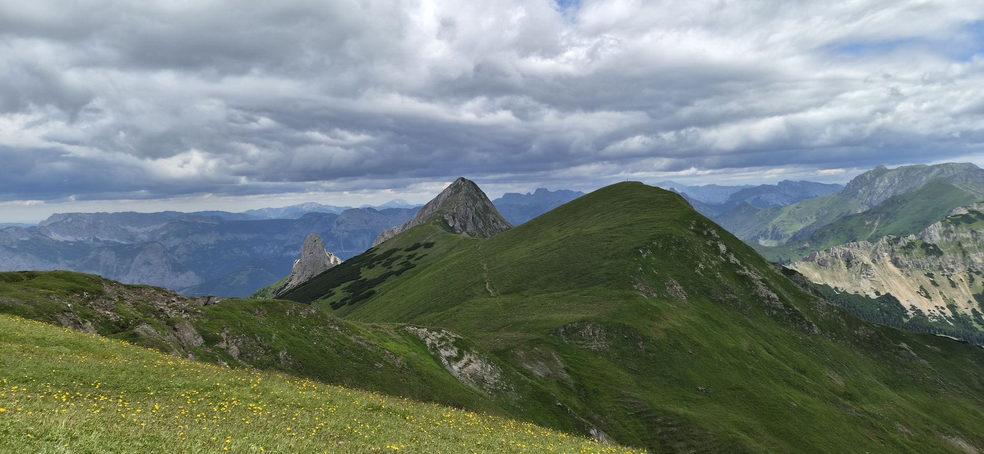
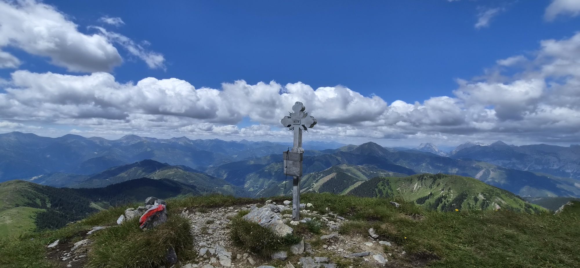
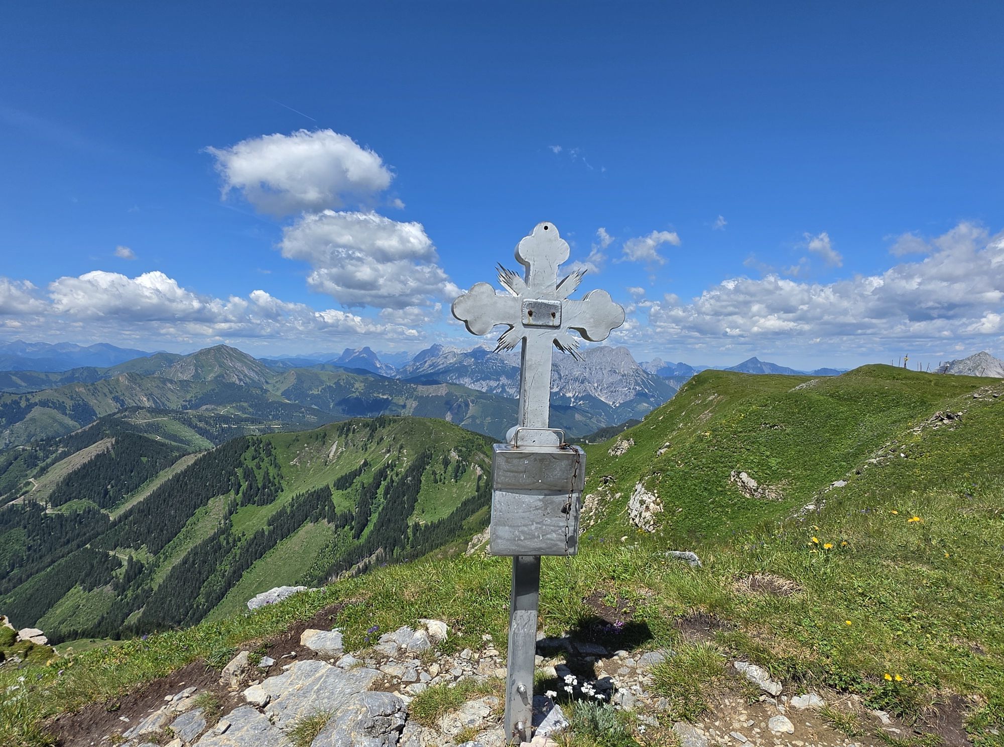
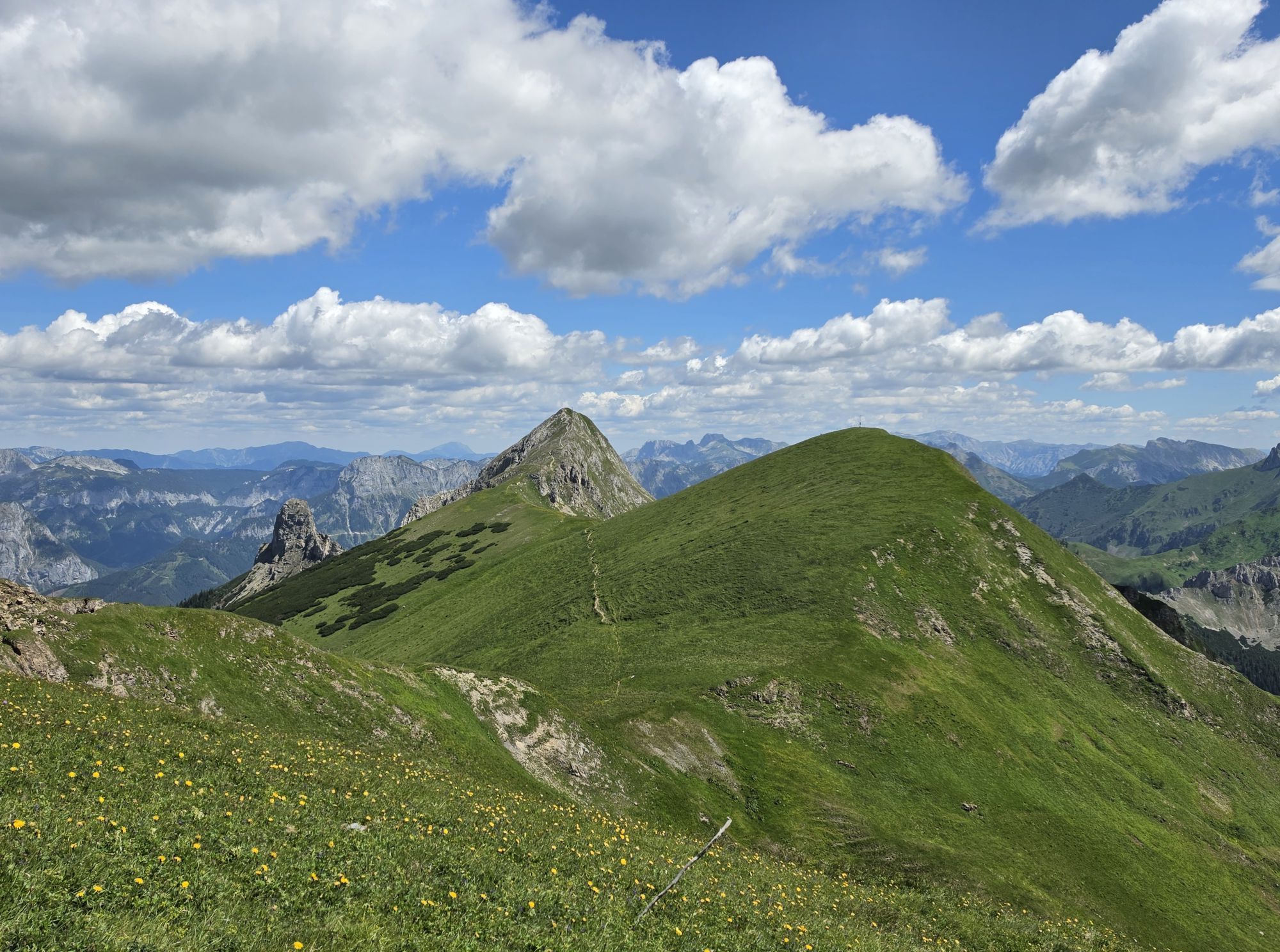
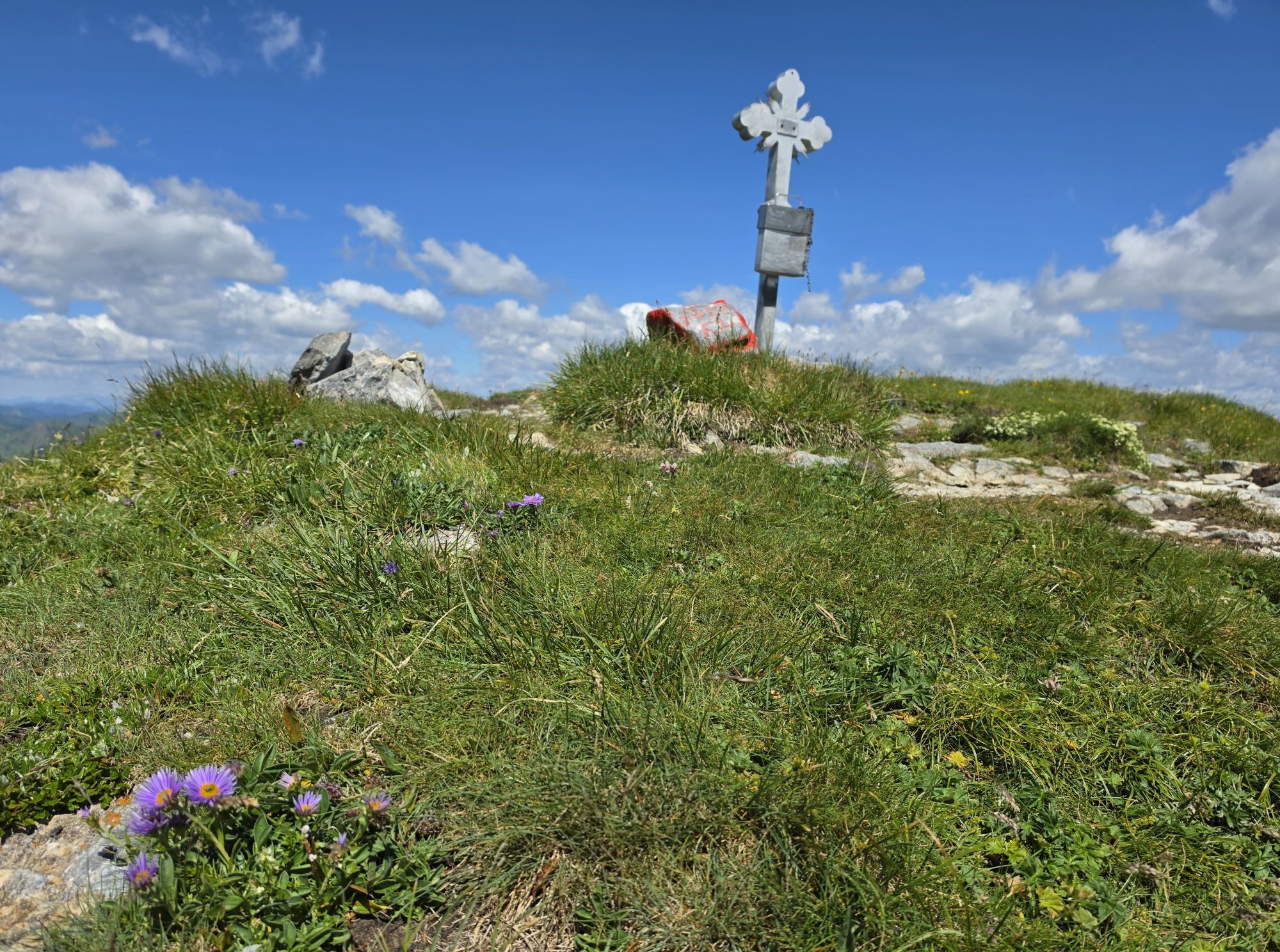
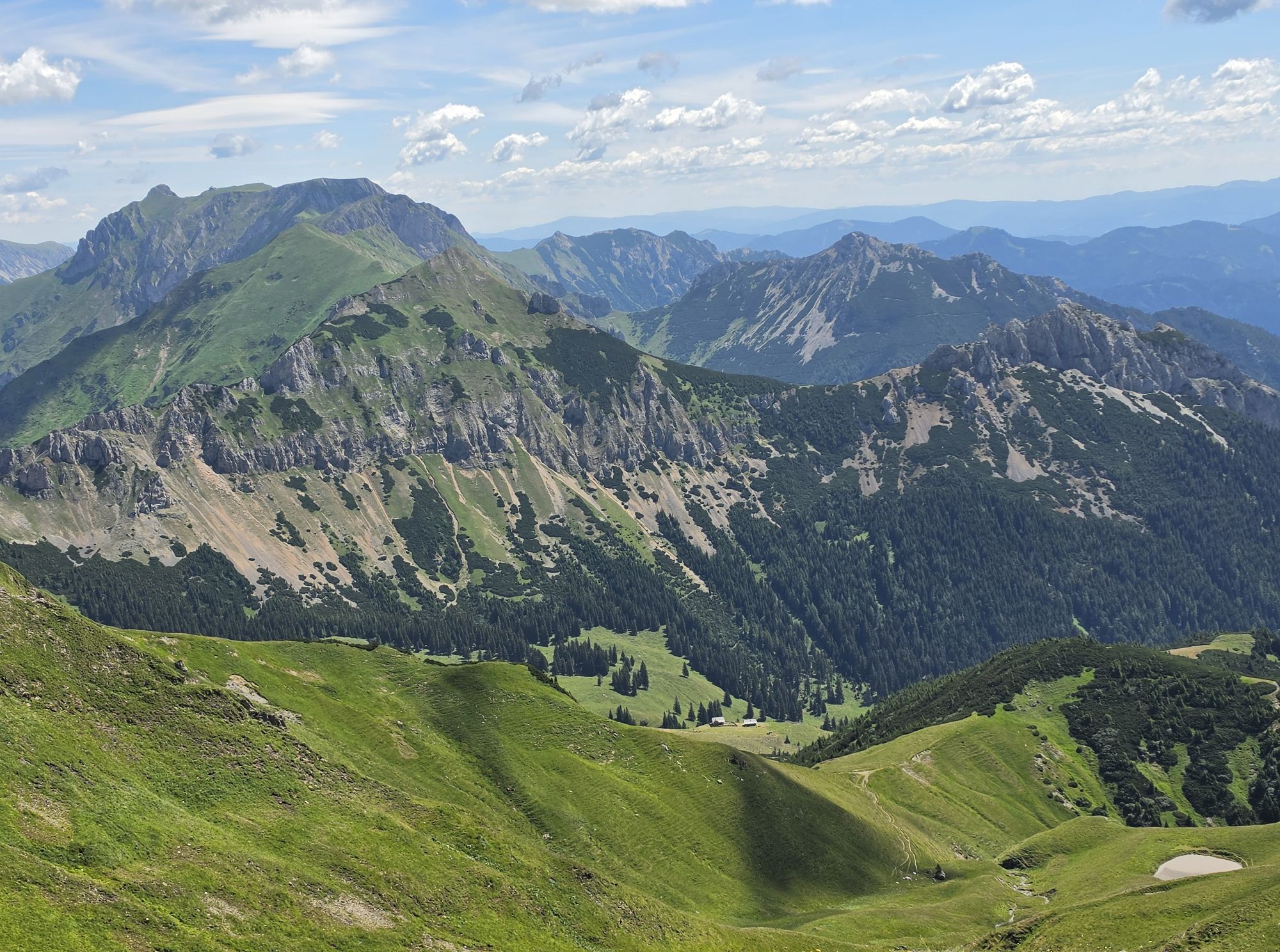
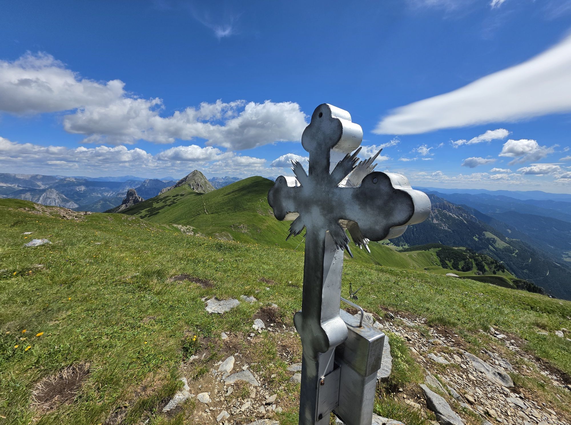
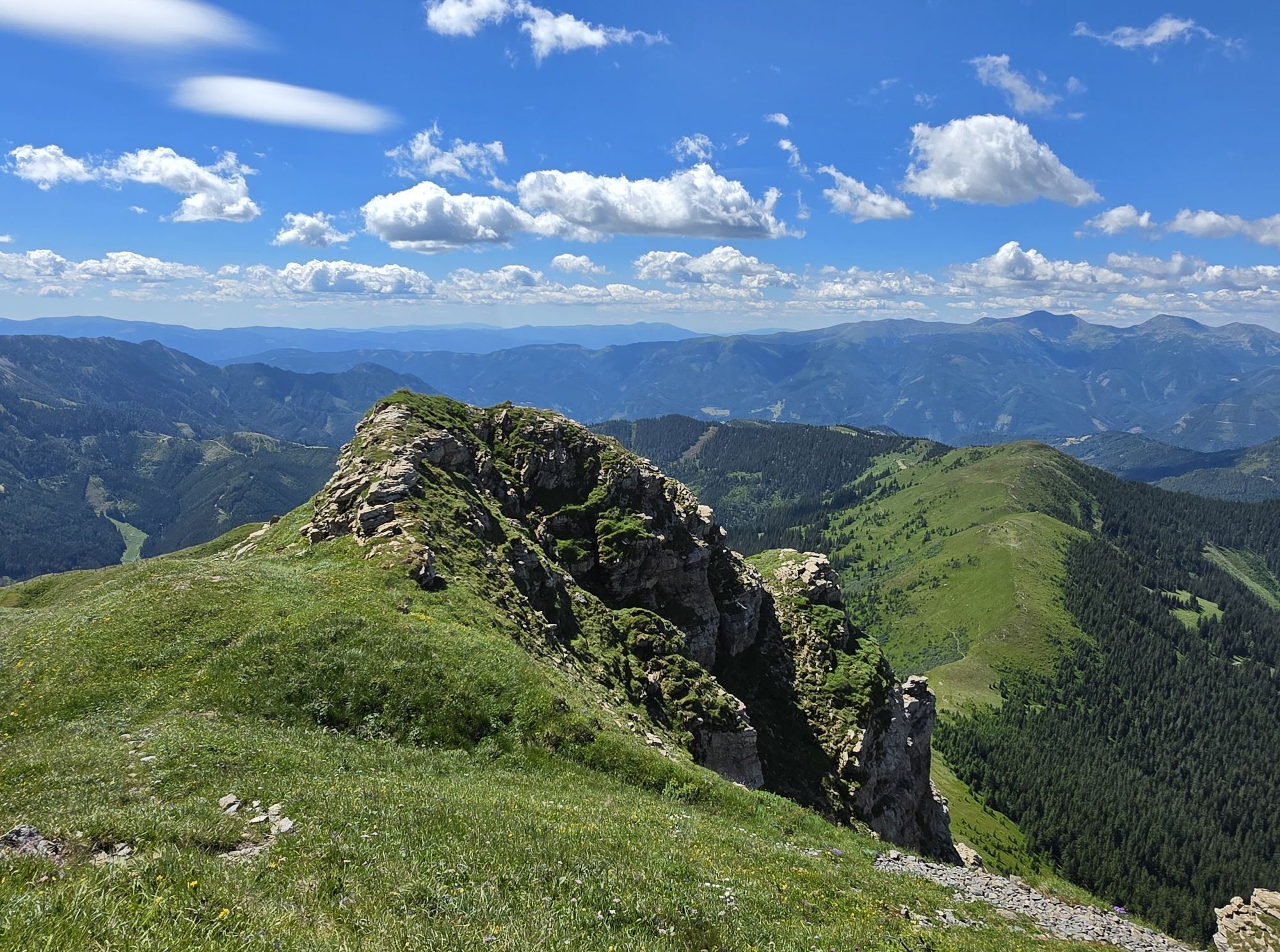
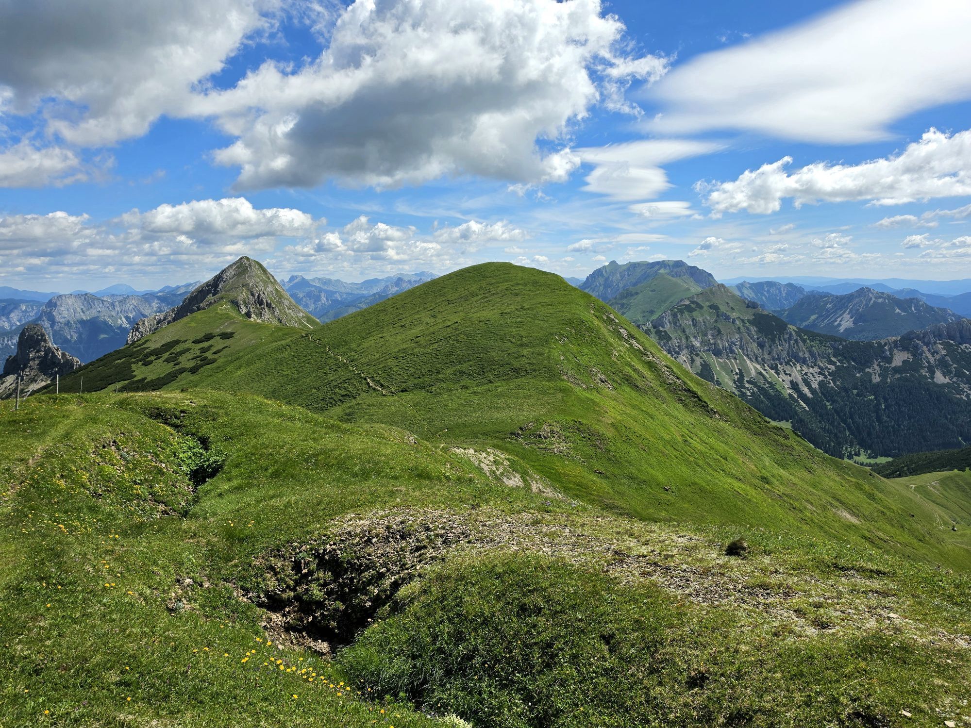
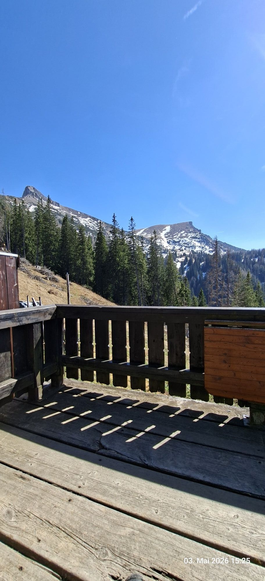
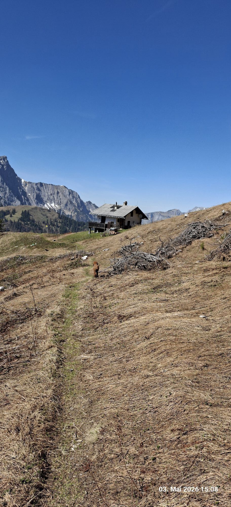
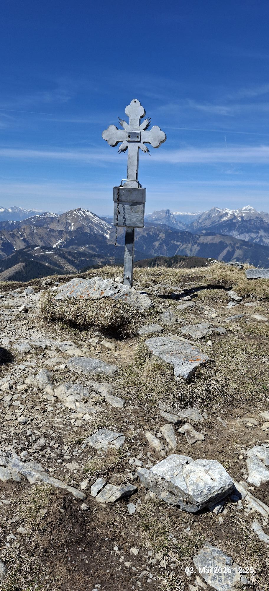
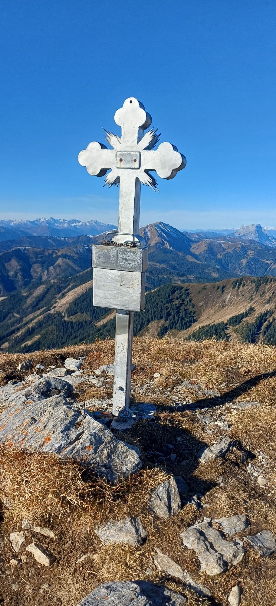
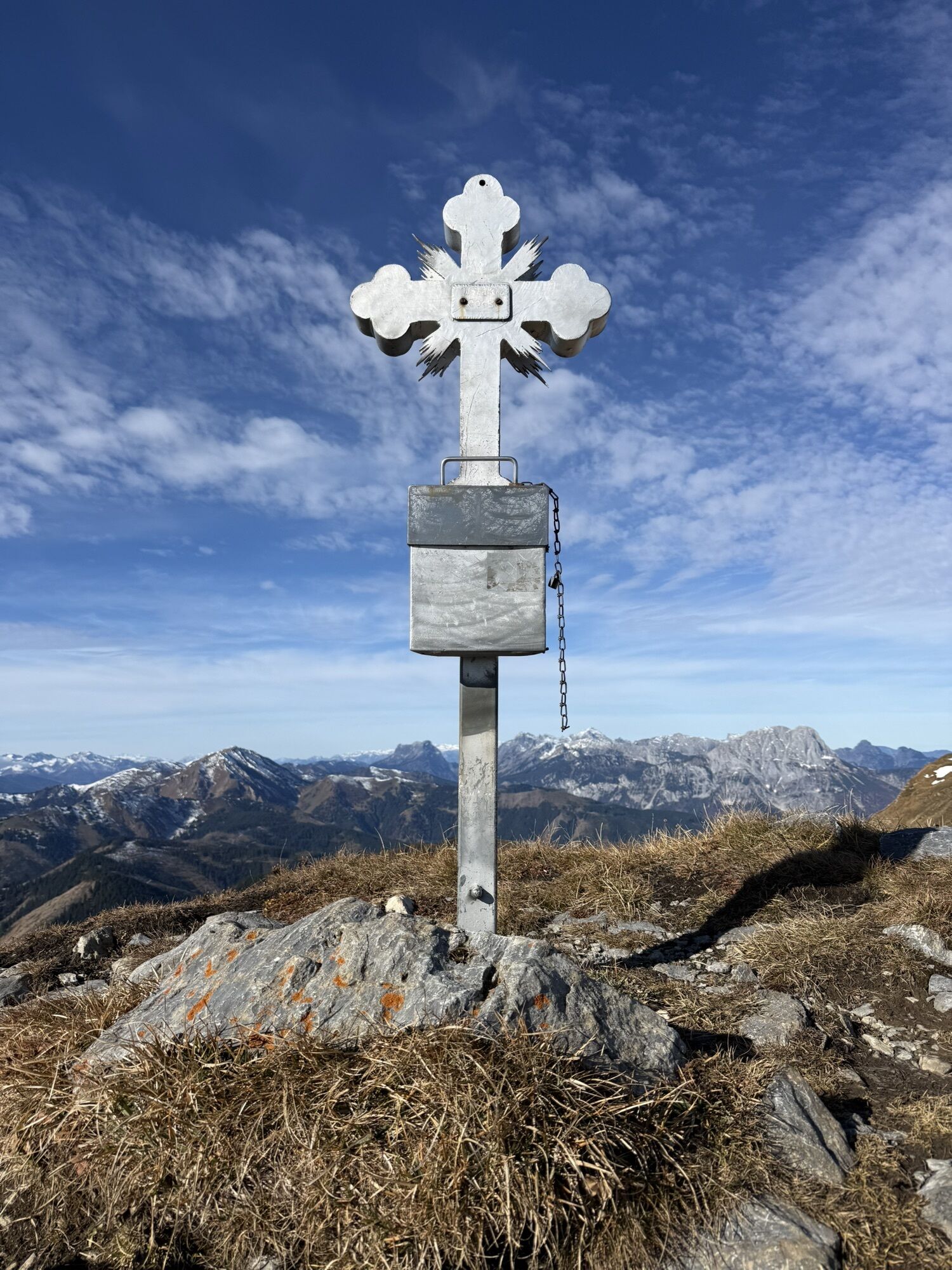
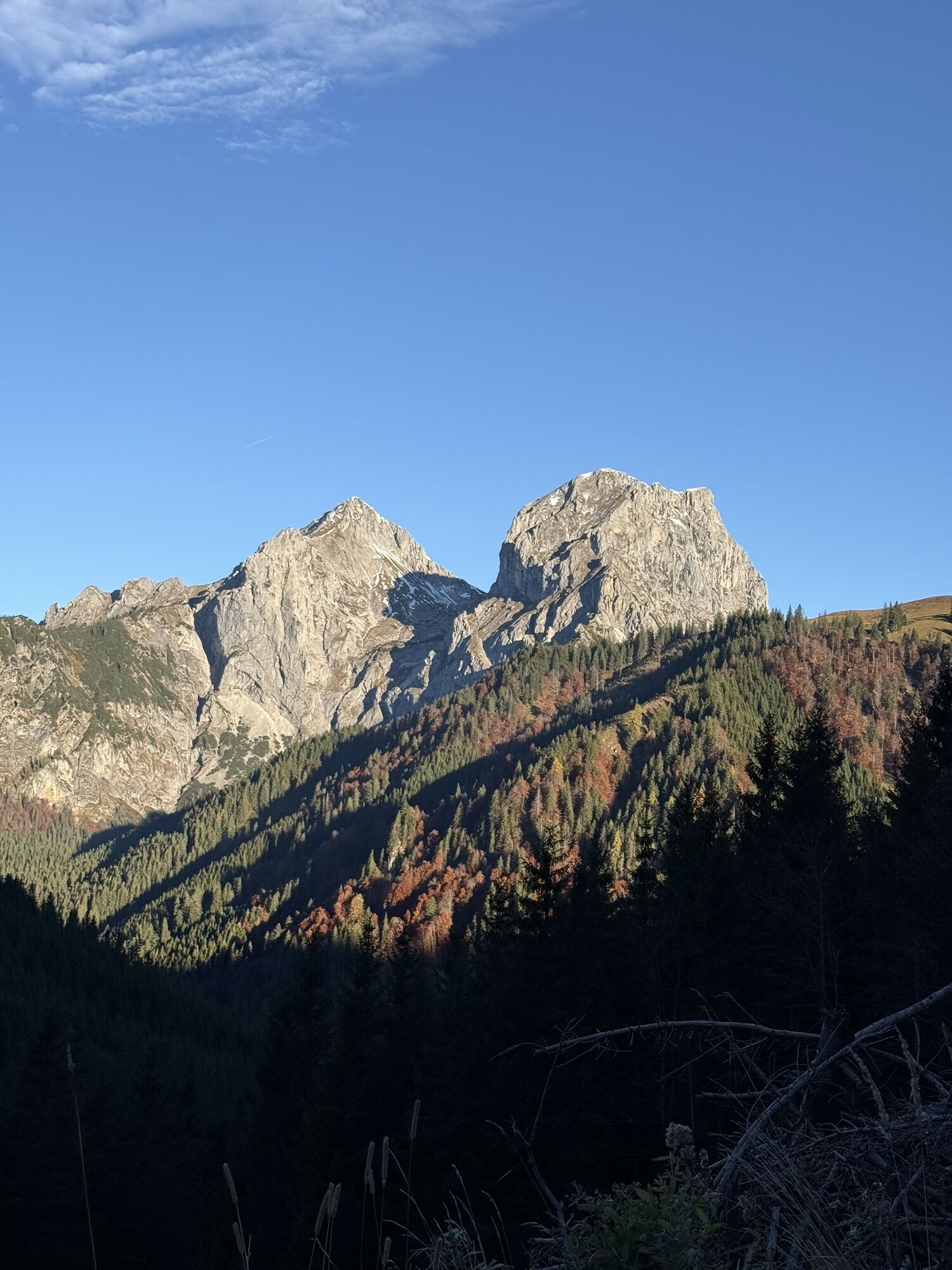
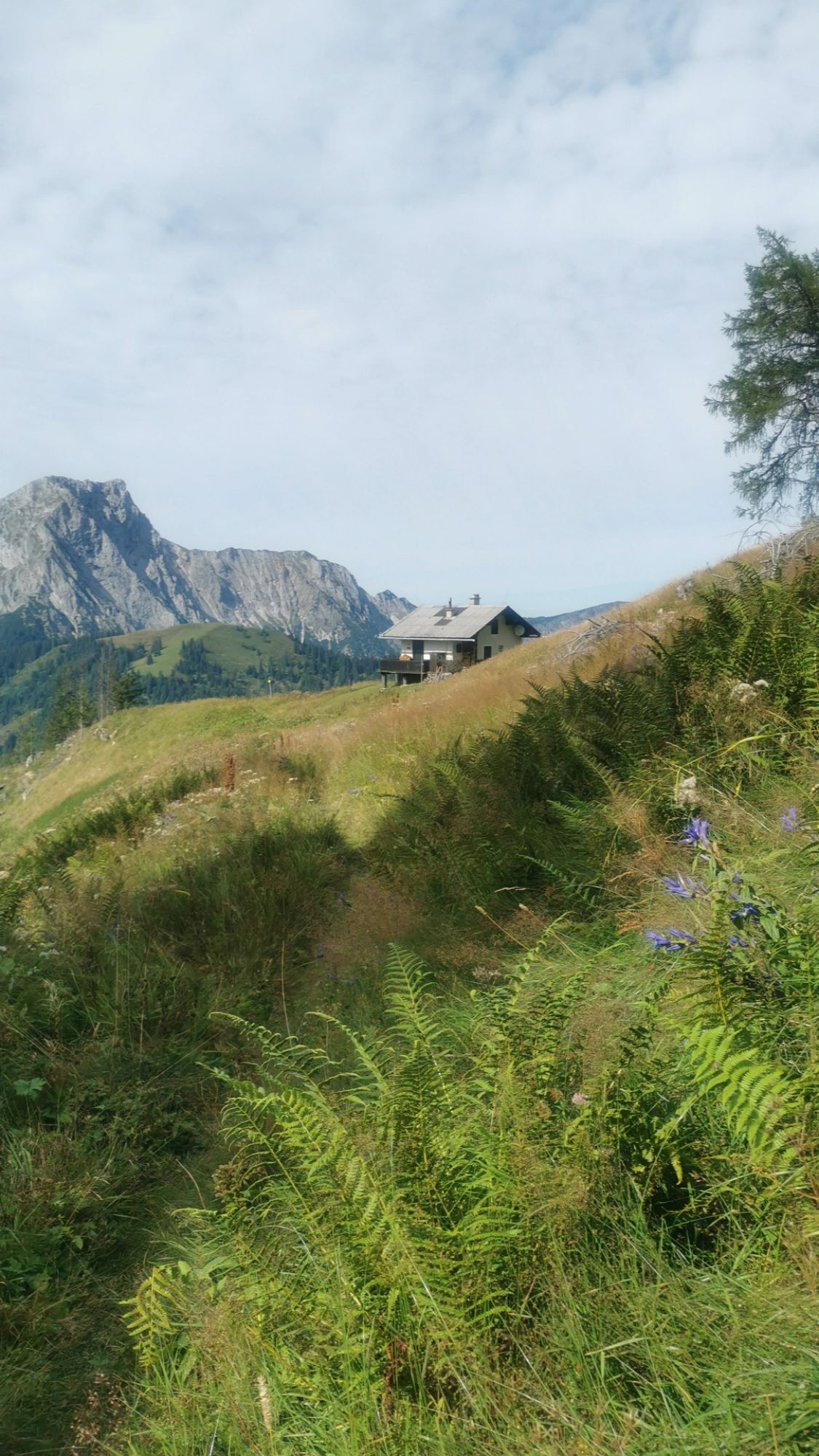
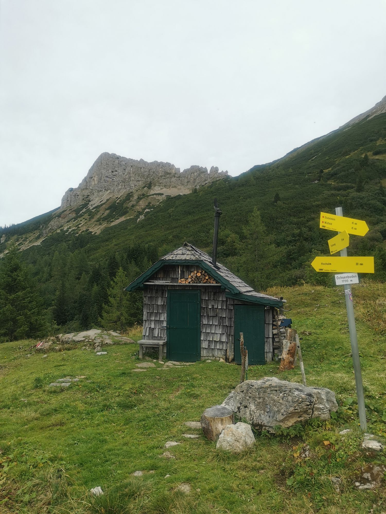
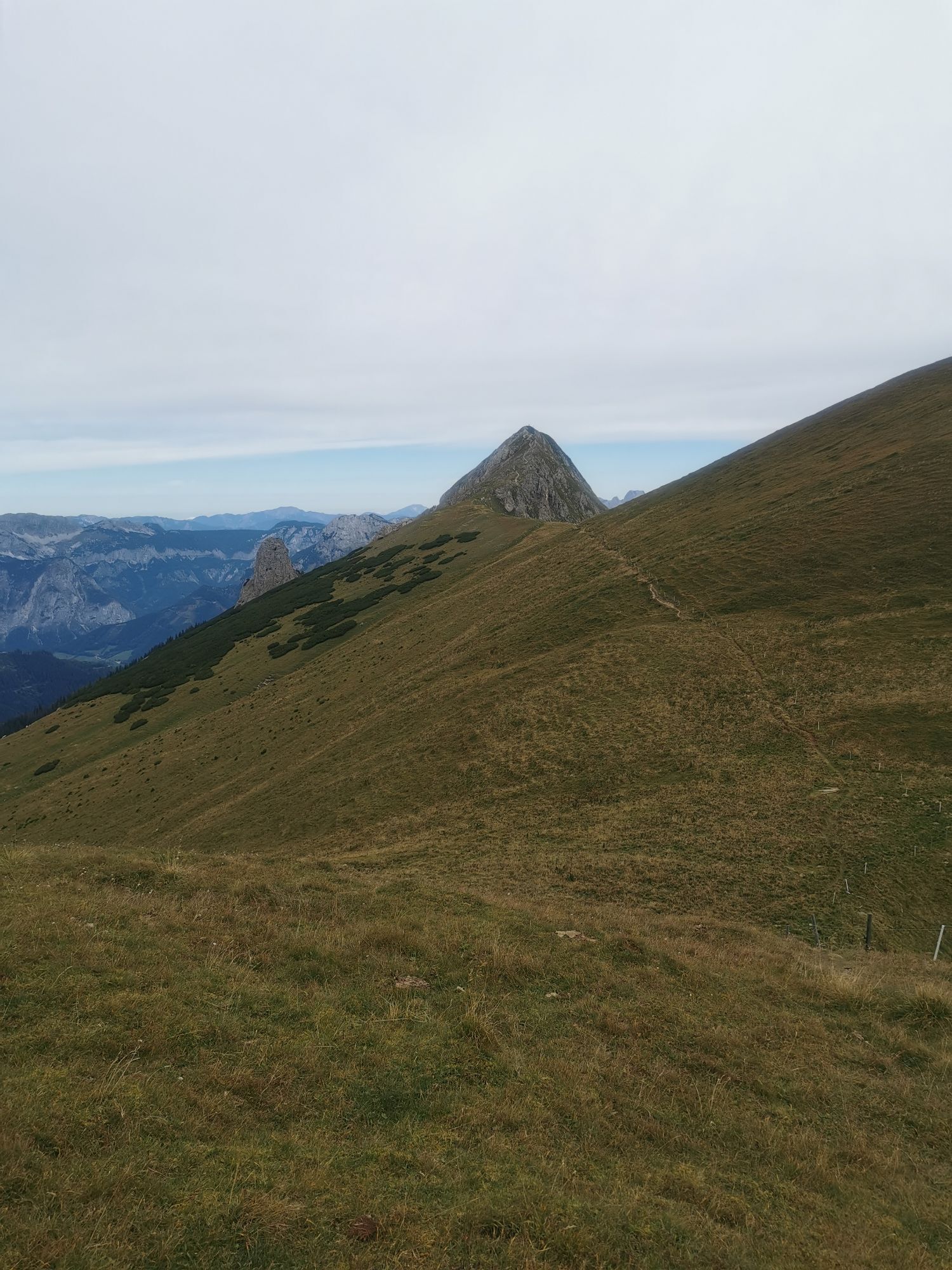
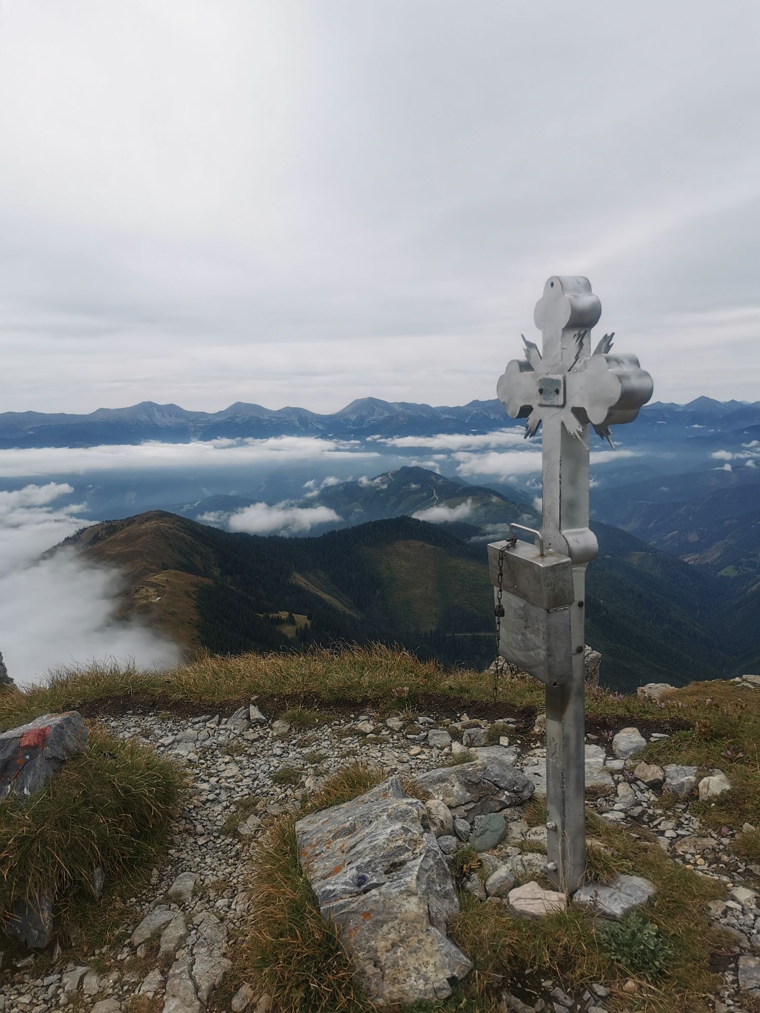

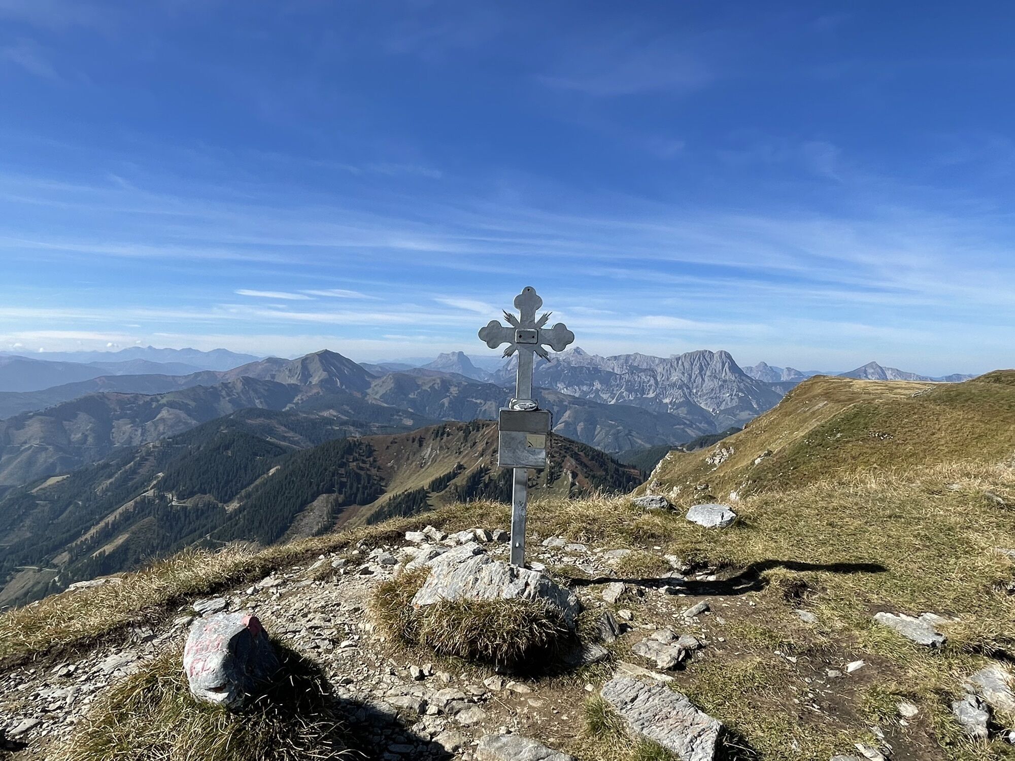
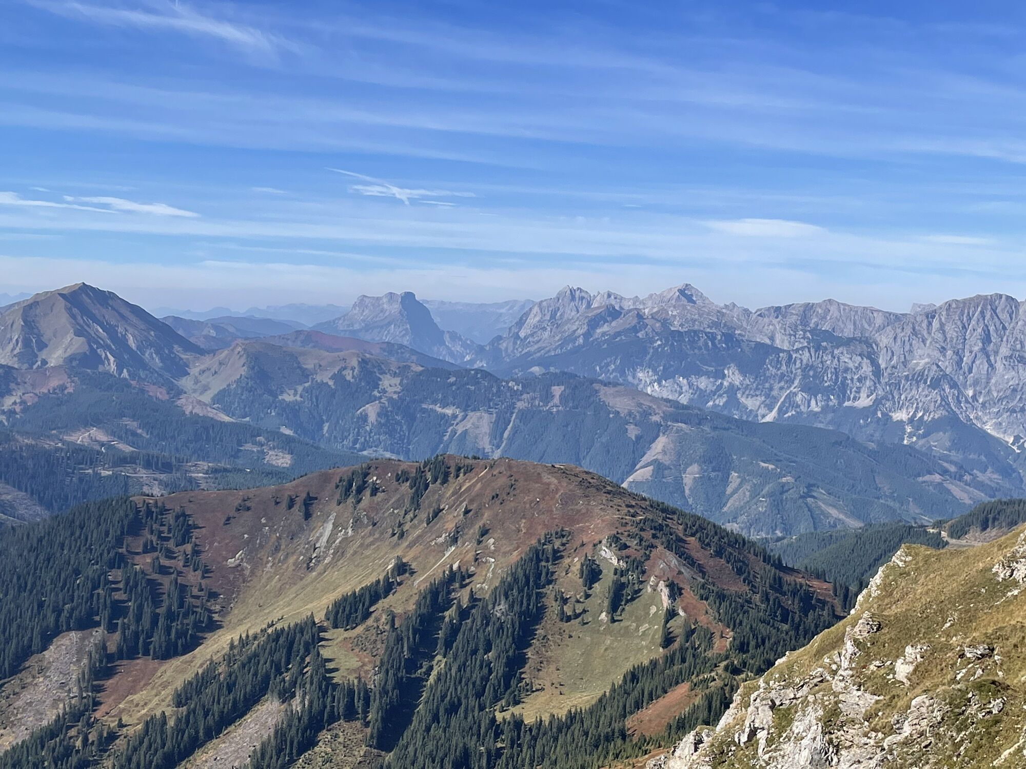
From the parking at west side of Gasthof Pichlerhof, take the forest road direction South in the Lasitzen valley for 1km. From here turn left direction Hochalmhütte (yellow sign) through a wood. Also a...
From the parking at west side of Gasthof Pichlerhof, take the forest road direction South in the Lasitzen valley for 1km.
From here turn left direction Hochalmhütte (yellow sign) through a wood. Also a forest road is present. Turn inks to climb up a steep ridge, then right (S) towards Hochalmhütte (1460m). From here direction south through a wood: attention crossing steep gully and keeping more or less the same height (summer path signs on trees). Out of the woods, keep on climbing south towards the pass between the Wildfeld and the Speikkogel. Few meters before the pass, turn right and climb up the final ridge. Peak can be reached easily with the skies.
The descent start from the top, following mainly the way up. At 1760m, at the end of a small canyon, turn links (WNW) towards the Nebelkreuz (1700m). Cross the ridge and keep right (NE) for 100m, then again direction NW skiing down along the right side of the Lasitzen valley in a sparse woods.
At 1420m you cross a road: turn right and follow it for 200m and, when possible, down again moving slowly to right until a narrow canyon that leads at the bottom of the valley. Form here you can cross the creek and get on to the forest road. Follow it (direction N) until the parking place.



It is possible also keep on going left from the Nebelkreuz and skiing down the other side of the valley. See other excursion on bergfex.
Parking Lasitzen just after the Gasthof Pichlerhof in Ramsau, 1020m
Climbing up via Hochalmhütte is easy.


Rutas populares en los alrededores
-
4,7
Eisenerz: Wildfeld und Stadelstein
Senderismo 10,9 km -
4,5
Trofaiach: Gößeck
medioSenderismo 11,6 km -
4,8
Wald am Schoberpass: Leobner
Senderismo 16,2 km -
4,9
Über den „Hochturm 2080m“ mit Blick auf den Grünen See - Rundwanderweg - Oberort
medioSenderismo 25,3 km -
4,9
Ennstaler Alpen - Eisenerzer Reichenstein 2.165m - Grete Klinger und Krumpenhals
medioVía ferrata 16,5 km -
4,9
Reichenstein, Österreich
pesadoSenderismo 7,90 km -
4,8
Kaiser Franz Joseph Klettersteig
pesadoVía ferrata 5,90 km -
4,8
Immergrün auf steilem Berg - Eisenerzer Reichenstein ab Hirnalm - Eine Genusstour
medioSenderismo 16,6 km -
4,8
/\ TAC Spitze, Griesmauer und Polster
pesadoSenderismo 9,82 km -
4,5
Murmeltierwanderung
luzSenderismo 6,61 km
Senderismo y rastreo


No se pierda las ofertas y la inspiración para sus próximas vacaciones
Su dirección de correo electrónico se ha añadido a la lista de correo.





