


c | Erlberg path
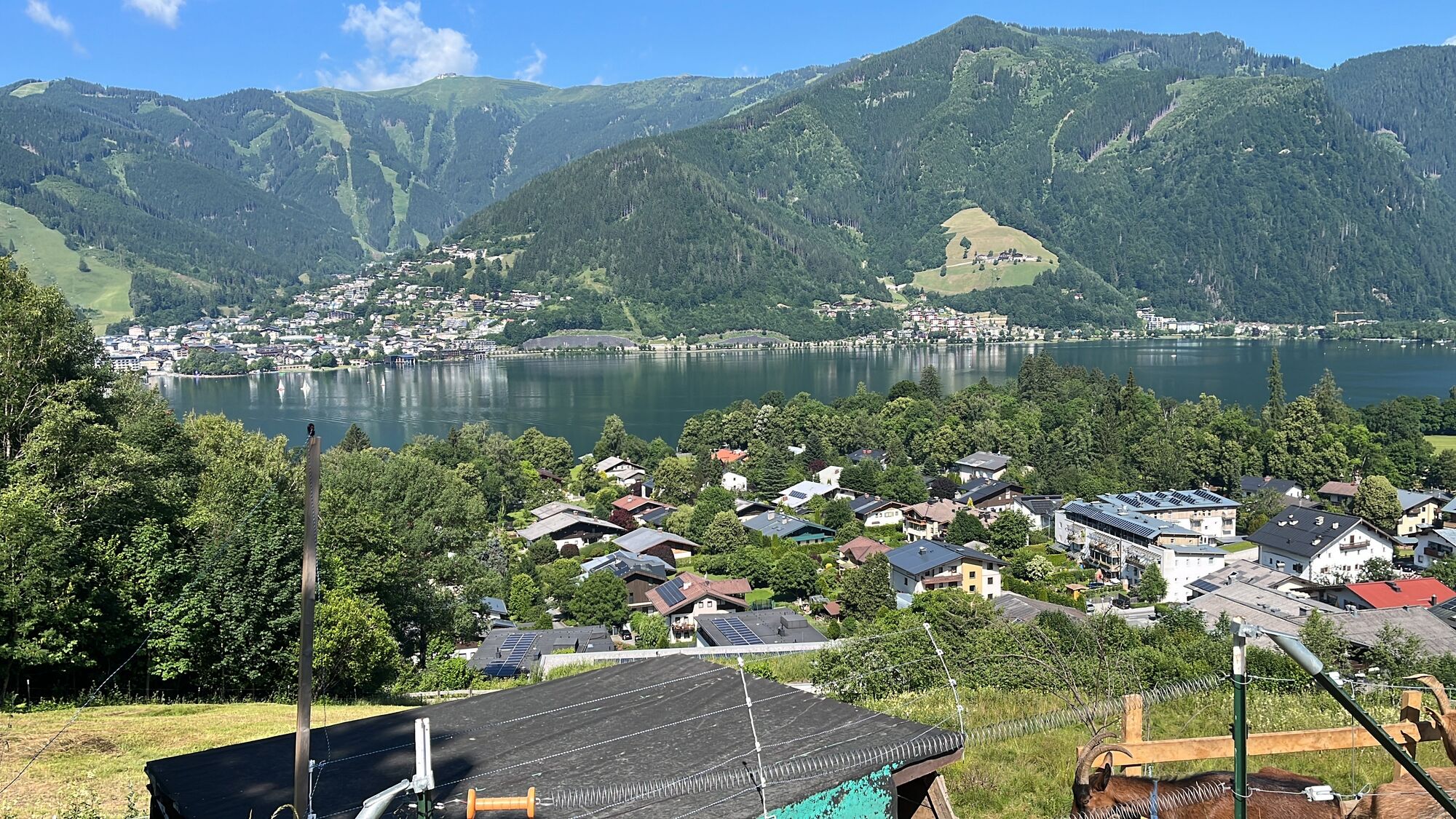
The starting point is the village square in Thumersbach, right next to the kindergarten. From there, the paved Erlbergweg trail leads uphill to the Enzianhütte hut – with uninterrupted views of Lake Zell....
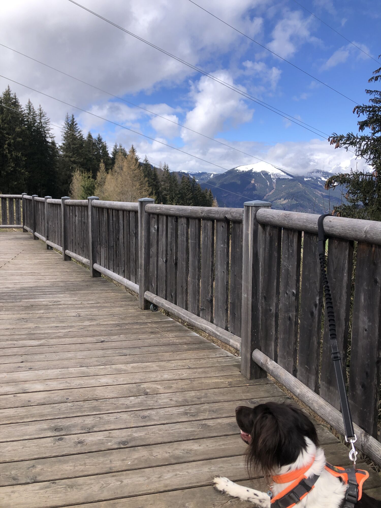
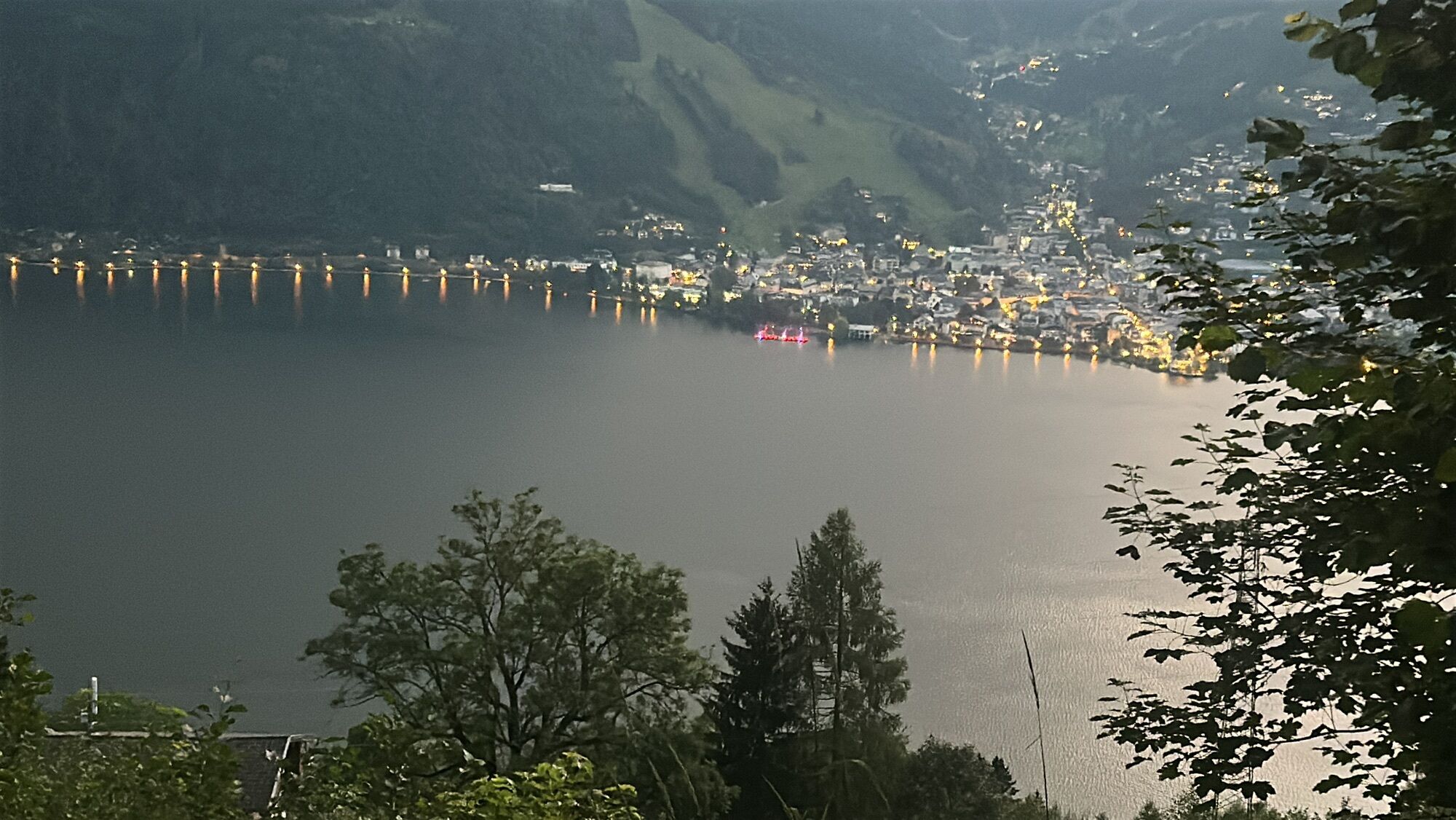
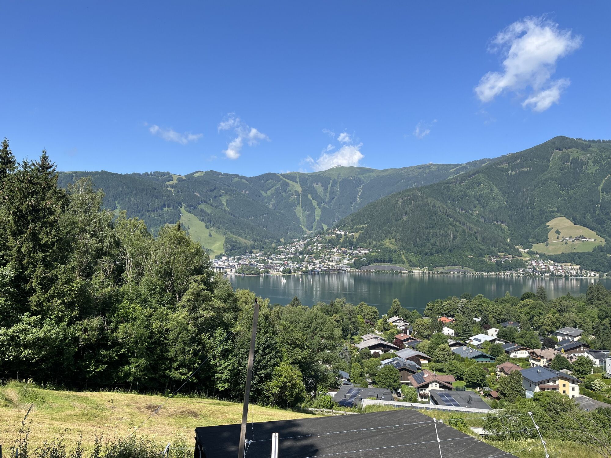
The starting point is the village square in Thumersbach, right next to the kindergarten. From there, the paved Erlbergweg trail leads uphill to the Enzianhütte hut – with uninterrupted views of Lake Zell. The return route follows the same path.
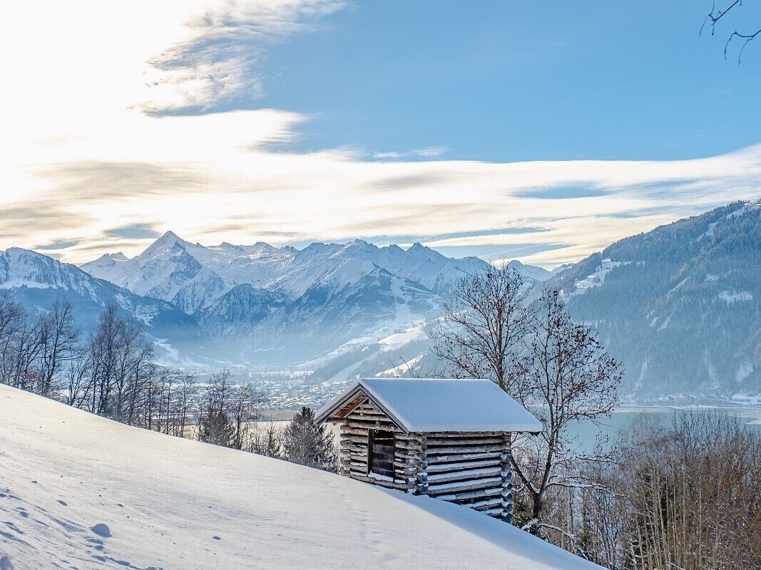
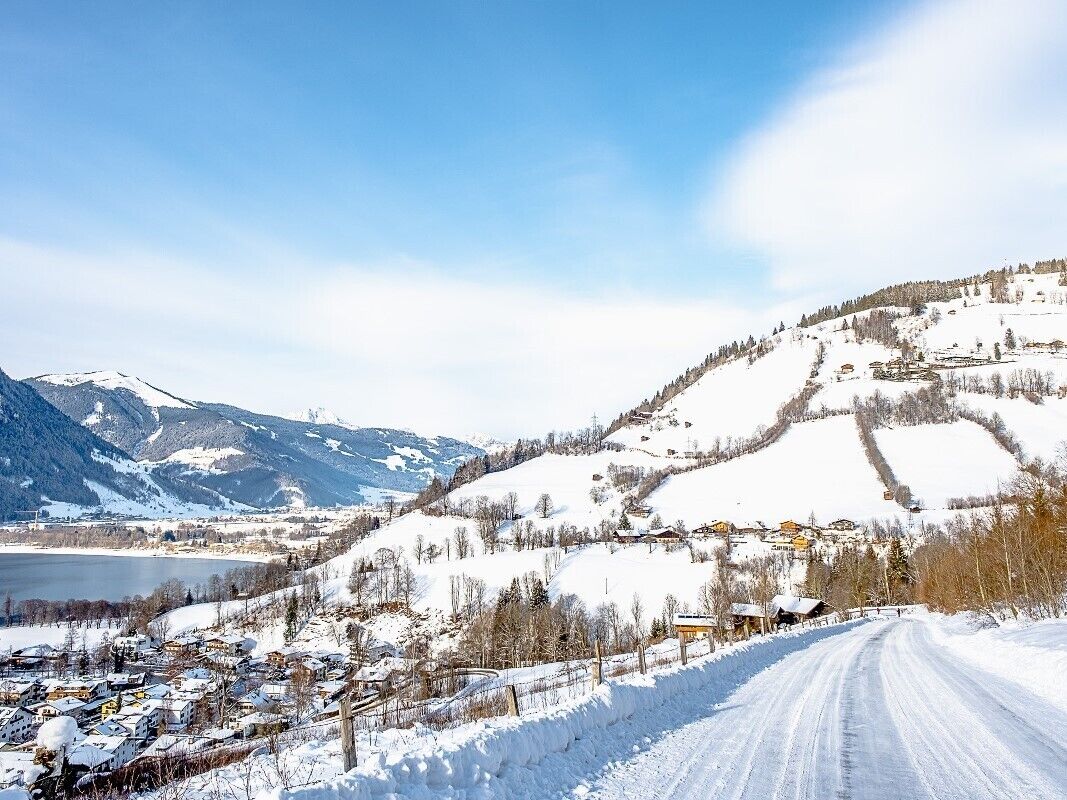
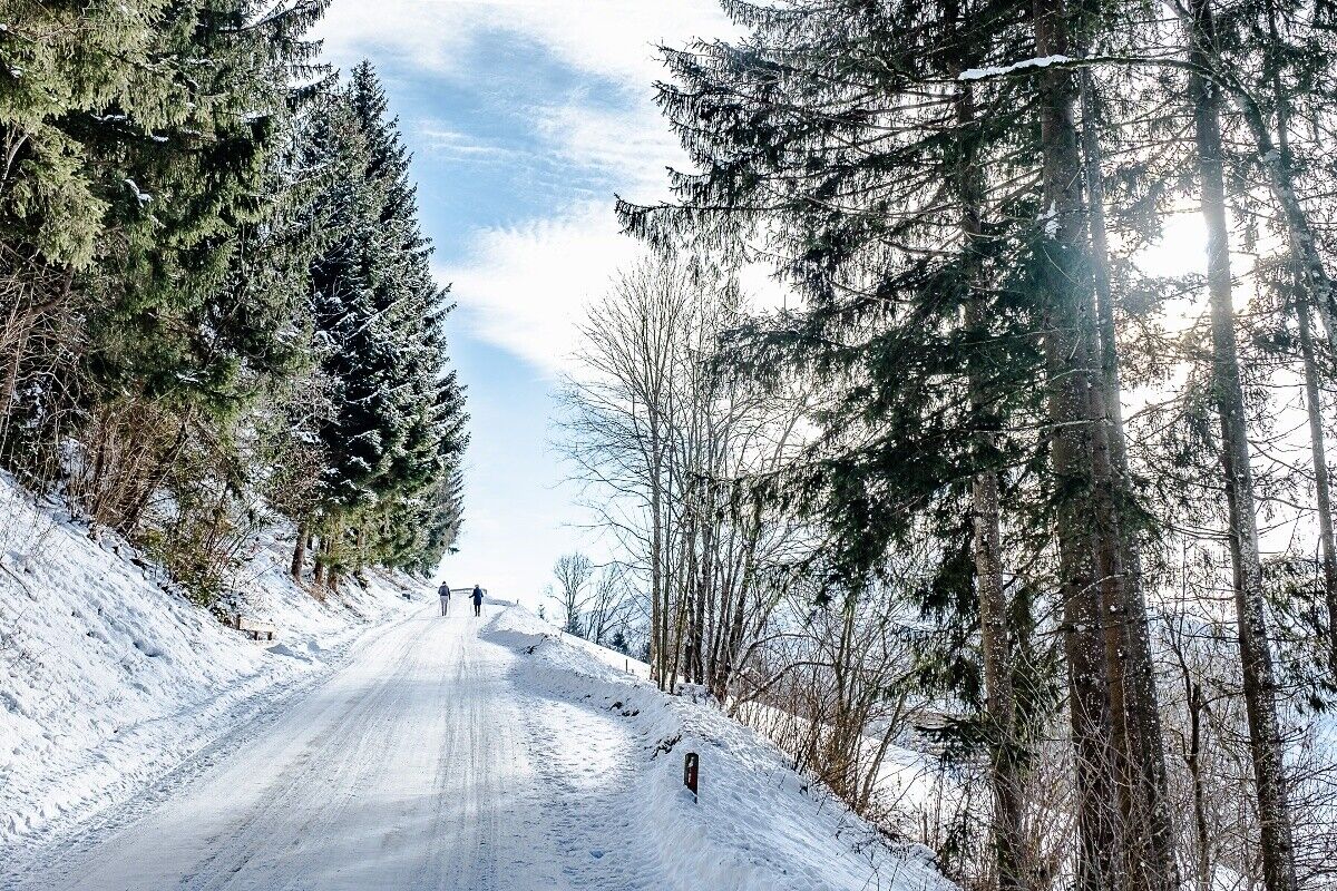
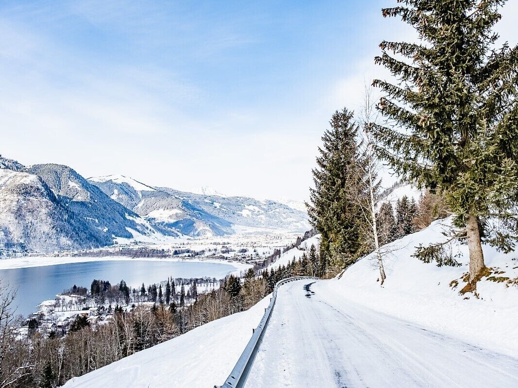
The start and end point is the Thumersbach primary school / fire brigade. From there, an asphalt or cleared mountain road leads to the Enzianhütte on the right.
Telescopic poles are an advantage!
Bus no 70
Kurparc Thumersbach
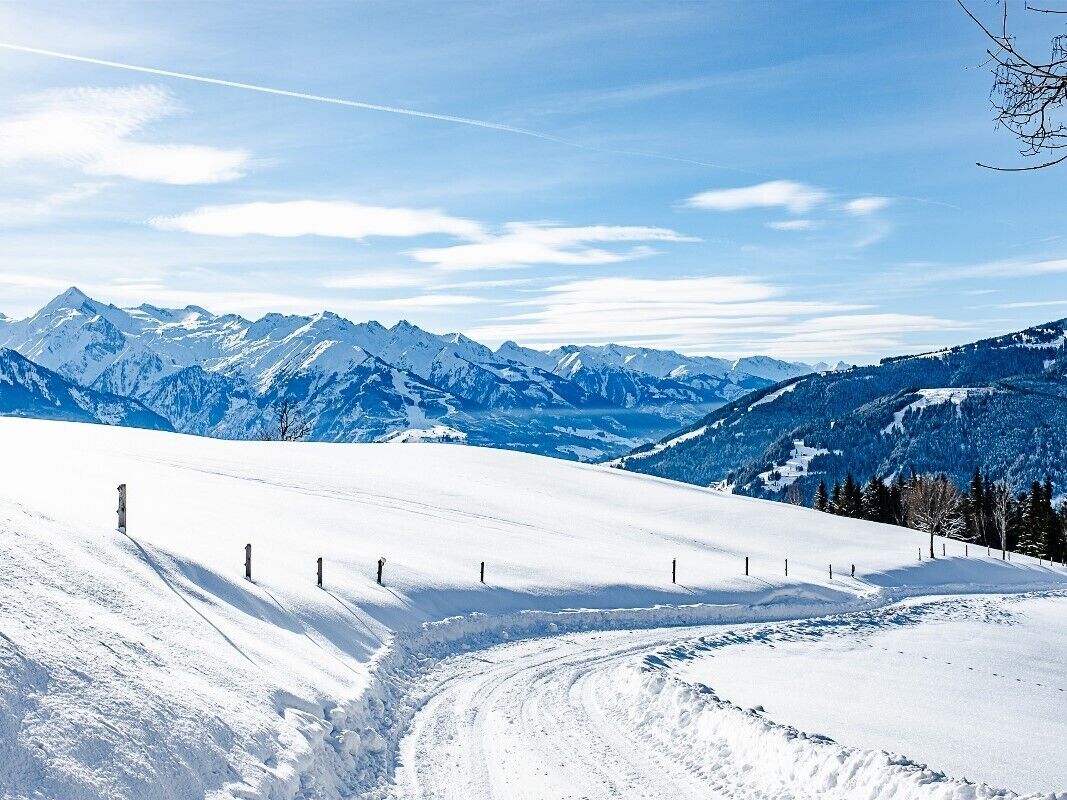
Stop at the Enzianhütte (open daily from December to Easter)
Rutas populares en los alrededores
-
4,6
Steinalm
luzSenderismo 2,71 km -
4,1
Schwalbenwand Nr. 80, 81, 82
medioSenderismo 13,0 km -
4,4
Caminata por alms y refugios "Hochmaisalm & Steinbockalm"
medioSenderismo 8,10 km -
4,5
Sigmund Thun Klamm
luzSenderismo 3,10 km -
4,9
Hochsonnberg Runde
medioMountainbike 59,8 km -
4,4
Thumersbach, Runde um den Zeller See
luzSenderismo 13,3 km -
4,3
Excursión familiar al lago Prinzensee
luzSenderismo 4,13 km -
4,2
Hundstein-Runde von Maria Alm
pesadoMountainbike 44,4 km -
3,8
Maurerkogel (Top)
Senderismo 10,5 km -
4,8
Sigmund Thun Klamm, Klammsee, Bürgkogel
luzSenderismo 4,56 km

Senderismo y rastreo


No se pierda las ofertas y la inspiración para sus próximas vacaciones
Su dirección de correo electrónico se ha añadido a la lista de correo.