






Winter hike to Sinnlehenalm
Nivel de dificultad: 1
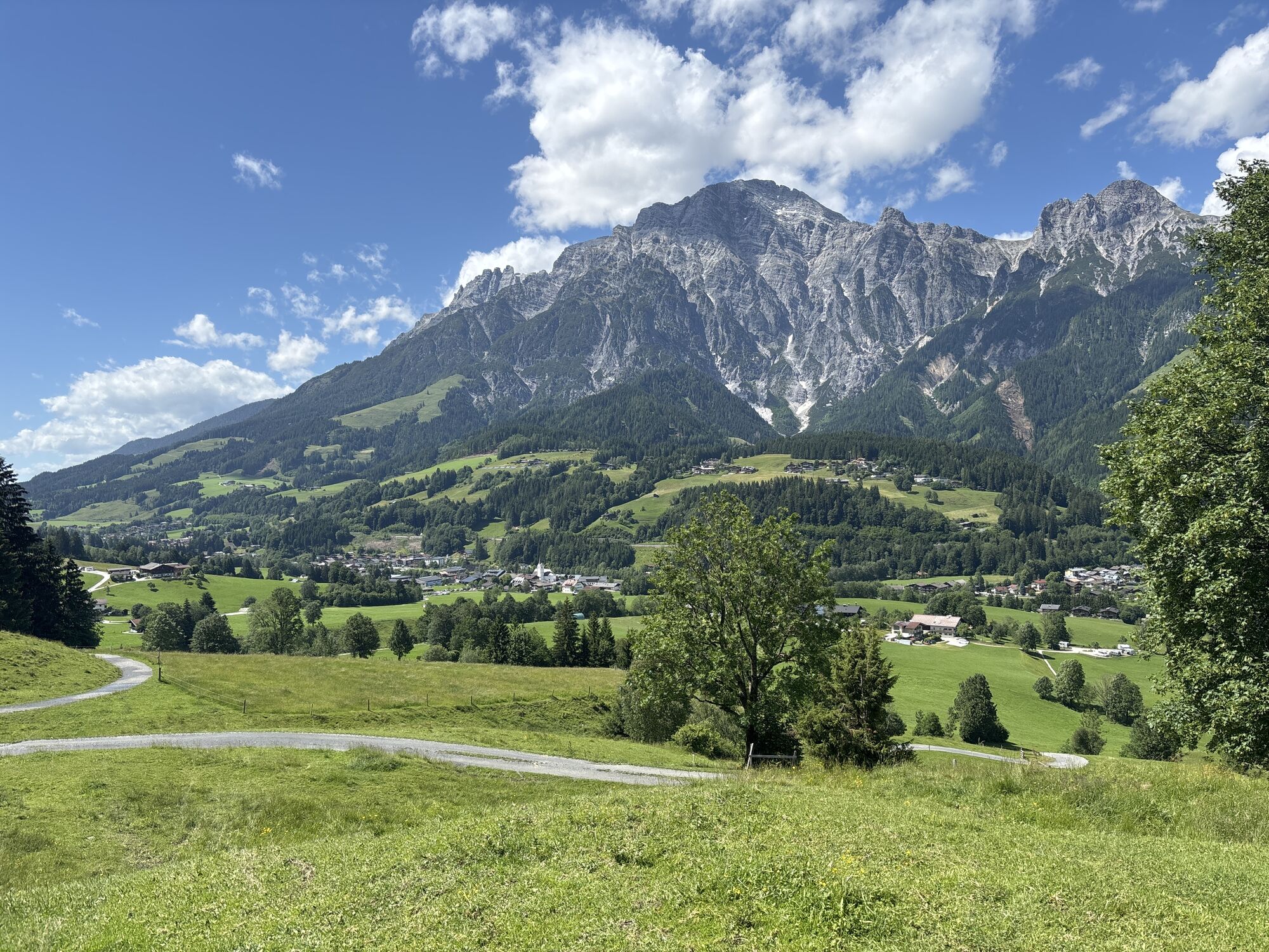
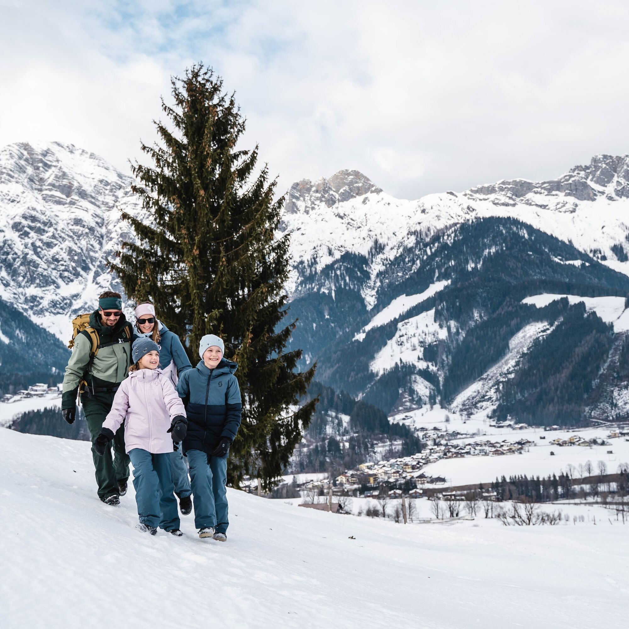
Hikers are not only rewarded with a magnificent panoramic view of the Leoganger Steinberge mountain range, but can also enjoy an alpine snack or a Kaiserschmarren. The hike starts from the parking lot...
For the way back, you have two great options: enjoy a relaxed walk down along the same scenic trail, or add a touch of adventure and zoom back to the valley on the small but charming toboggan run – a fun highlight that’s sure to delight visitors of all ages!




1
Probiert unbedingt die regionalen Köstlichkeiten auf der Sinnlehenalm.
Infórmate
Siempre en directo con más de 9.500 webcams. bergfex Como usuario Pro, ahora puede ver las webcams correspondientes a muchos tours en la app de tours desde. Esto le permite ver las condiciones actuales directamente.
Rutas populares en los alrededores
-
4,4
Maria Alm - Riemannhaus
Senderismo 3,99 km -
4,6
Steinalm
luzSenderismo 2,71 km -
4,3
Schwalbenwand Nr. 80, 81, 82
medioSenderismo 13,0 km -
4,5
Cabaña Peter-Wiechenthaler
medioSenderismo 4,32 km -
4,9
Breithorn
medioSenderismo 10,0 km -
4,5
Seisenbergklamm
luzSenderismo 2,41 km -
4,2
Vía ferrata Persailhorn Sur
medioVía ferrata 6,83 km -
4,2
Passauer Hütte
pesadoSenderismo 4,14 km -
4,2
Maurerkogel (Top)
Senderismo 10,5 km -
4,6
Birnbachloch Leogang, Österreich
medioSenderismo 5,18 km
Senderismo y rastreo


No se pierda las ofertas y la inspiración para sus próximas vacaciones
Su dirección de correo electrónico se ha añadido a la lista de correo.





