


Pinzgauer Spaziergang
Fotos de nuestros usuarios
-
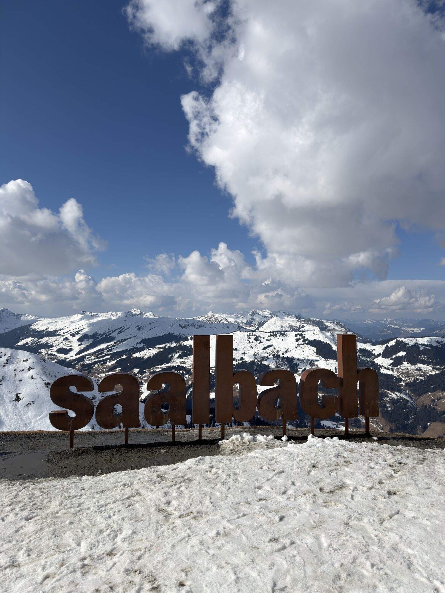
 © Florian DürneggerCreado el 16.09.2025
 -
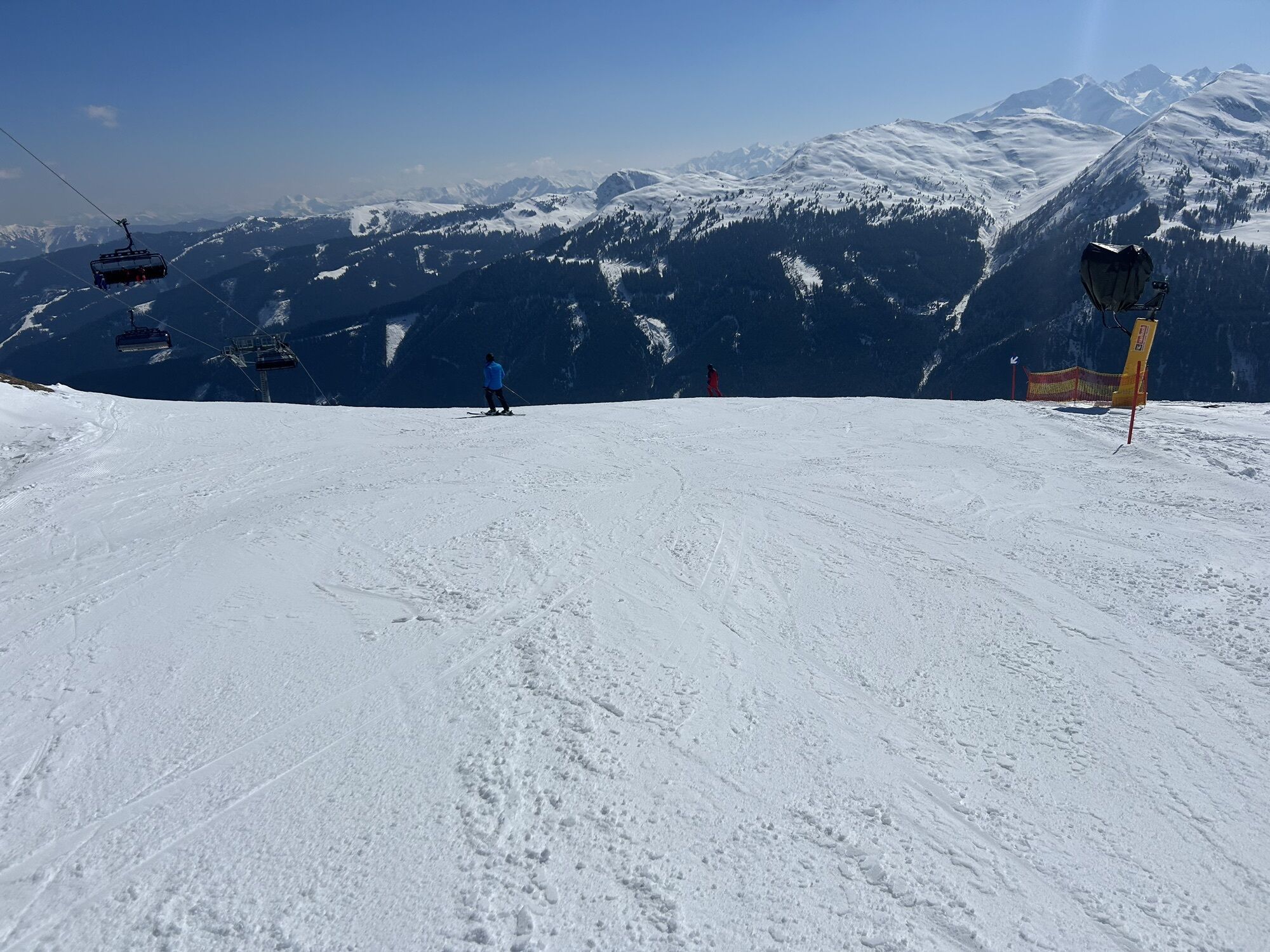
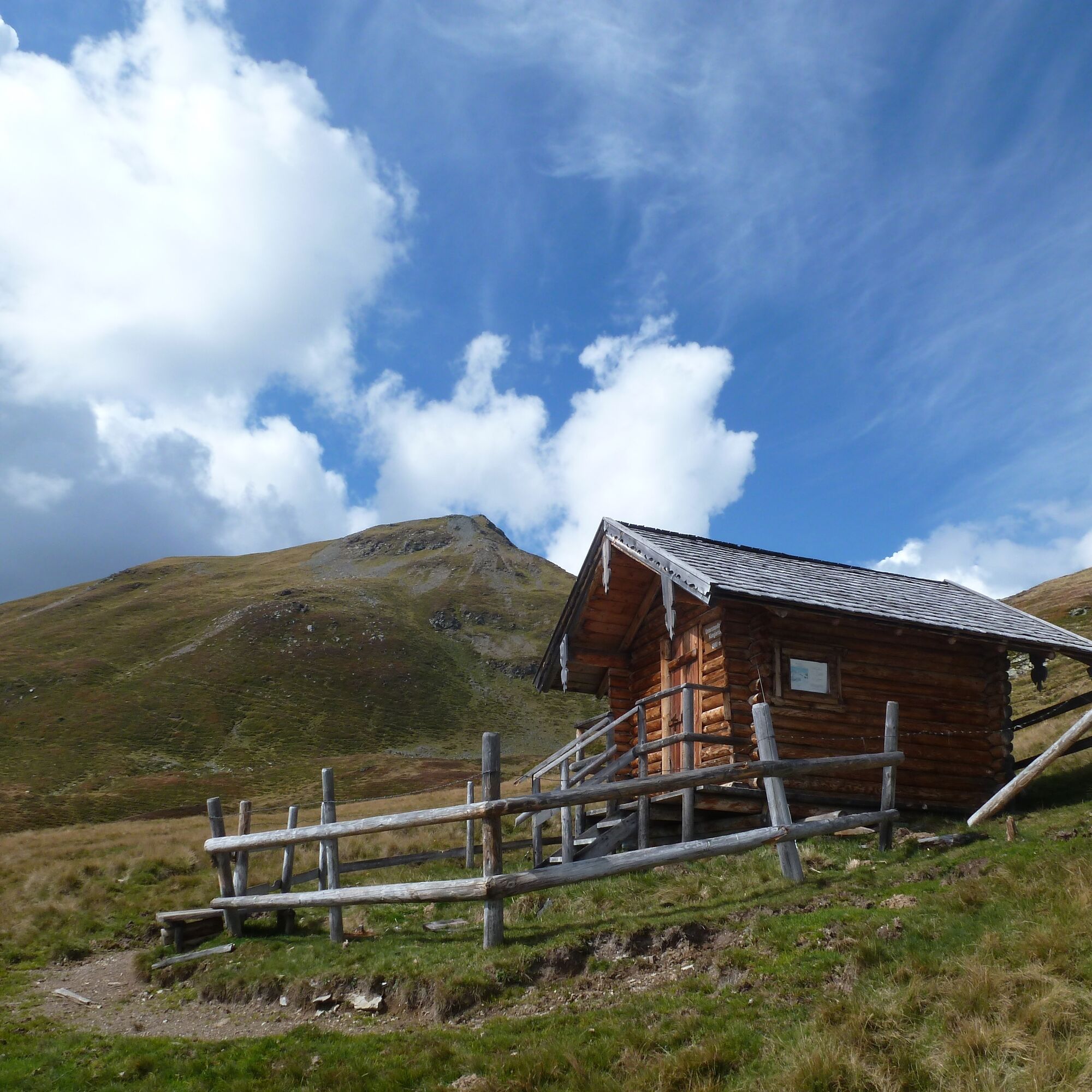
 © Daniella De WoldeCreado el 11.09.2025
 -
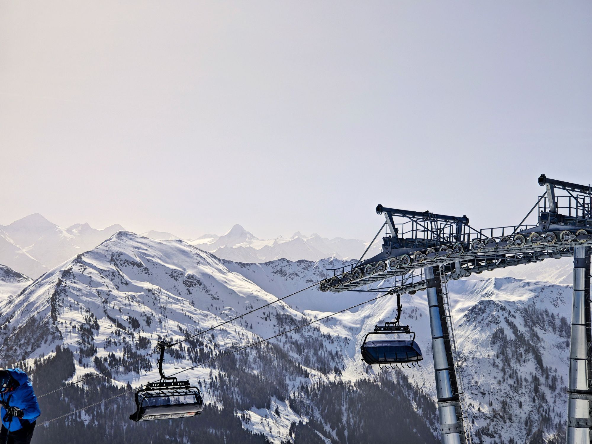
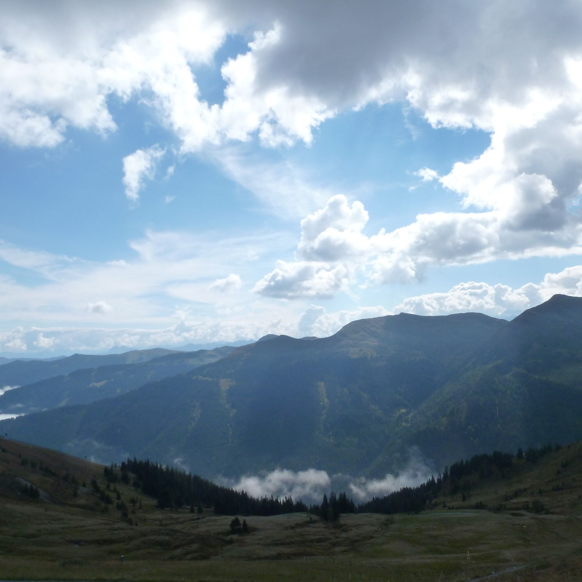
 © Daniella De WoldeCreado el 11.09.2025
 -
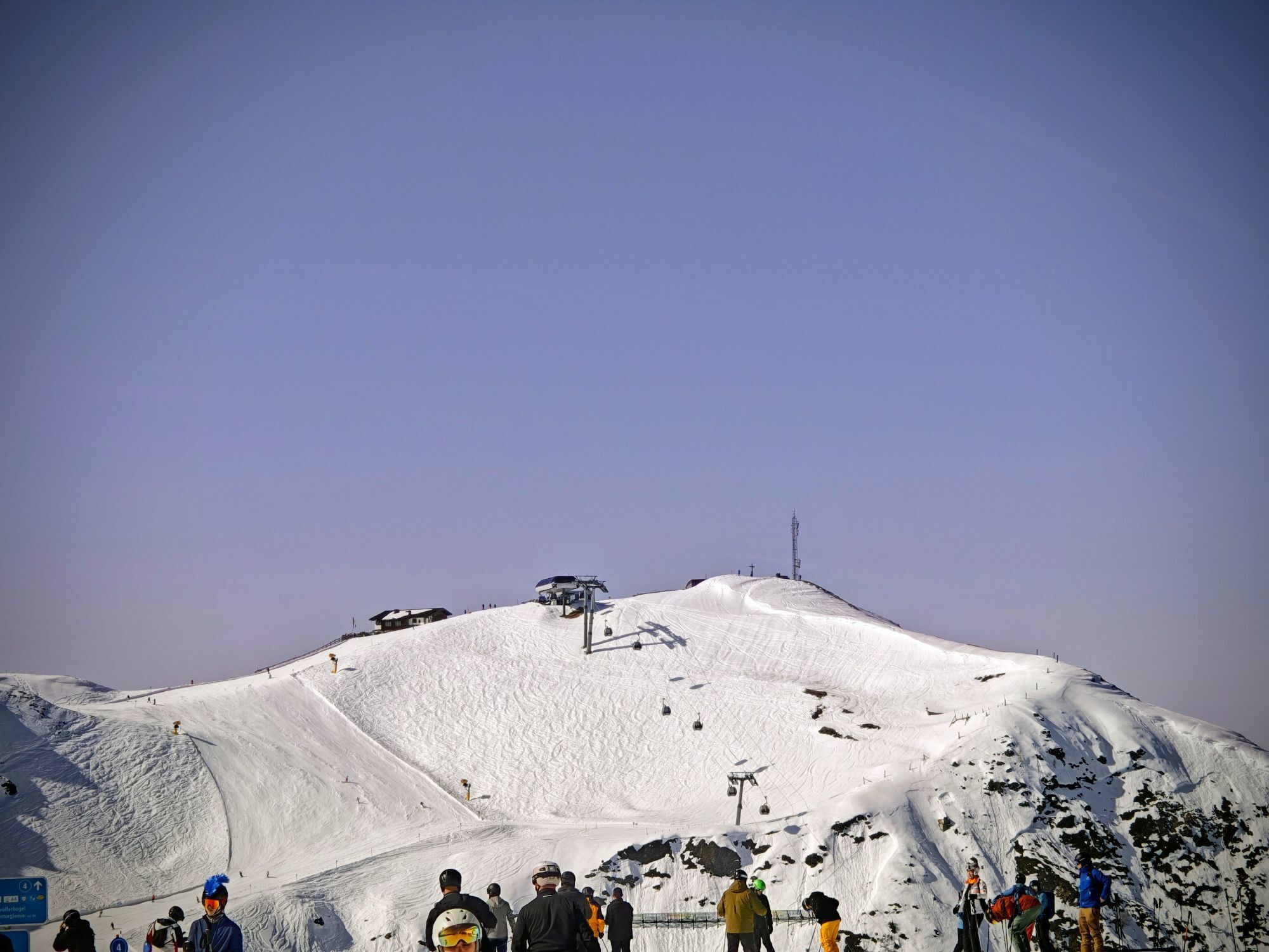
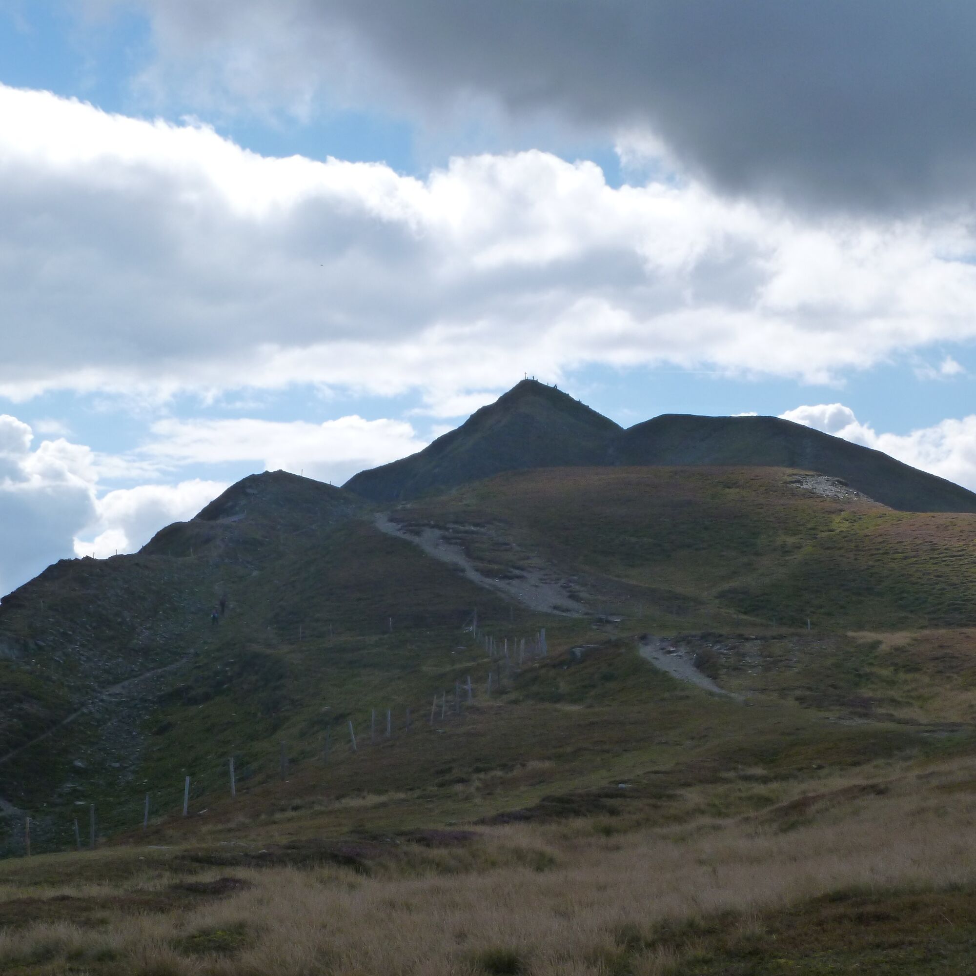
 © Daniella De WoldeCreado el 11.09.2025
 -
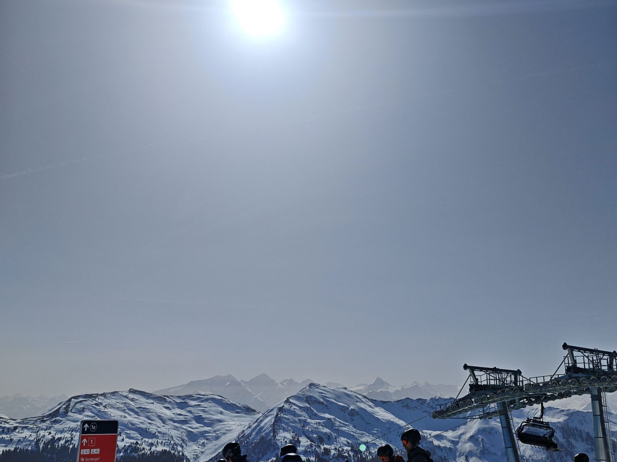
 © Daniella De WoldeCreado el 06.09.2025
 -
 © Daniella De WoldeCreado el 06.09.2025
 -
 © Daniella De WoldeCreado el 06.09.2025
 -
 © Daniella De WoldeCreado el 06.09.2025
 -
 © Daniella De WoldeCreado el 06.09.2025
 -
 © Daniella De WoldeCreado el 06.09.2025
 -

 © andreas 78Creado el 04.09.2025
 -
 © Tom van LuinenCreado el 19.08.2025
 -
 © Tom van LuinenCreado el 19.08.2025
 -
 © Tom van LuinenCreado el 19.08.2025
 -
 © Tom van LuinenCreado el 19.08.2025
 -
 © Tom van LuinenCreado el 19.08.2025
 -
 © Tom van LuinenCreado el 19.08.2025
 -
 © Tom van LuinenCreado el 19.08.2025
 -
 © Tom van LuinenCreado el 19.08.2025
 -
 © Tom van LuinenCreado el 19.08.2025
 -
 © Tom van LuinenCreado el 19.08.2025
 -
 © Tom van LuinenCreado el 19.08.2025
 -
 © Tom van LuinenCreado el 19.08.2025
 -
 © Tom van LuinenCreado el 19.08.2025
 -
 © Tom van LuinenCreado el 19.08.2025
 -
 © Jonas HorkCreado el 07.08.2025
 -
 © eva rohreggerCreado el 04.08.2025
 -
 © eva rohreggerCreado el 04.08.2025
 -
 © Gundega MucenieceCreado el 03.08.2025
 -
 © Philipp ReitmeirCreado el 20.07.2025
 -
 © Philipp ReitmeirCreado el 20.07.2025
 -

 © Bas RiemersCreado el 29.06.2025
 -
 © Melanie HörzerCreado el 05.06.2023
 -
 © Bernadette FrühaufCreado el 16.08.2022
 -
 © Zoran DujakovicCreado el 07.09.2024
 -
 © Maik KramerCreado el 16.01.2024
 -
 © Maik KramerCreado el 16.01.2024
 -
 © Maik KramerCreado el 16.01.2024
 -
 © Margreth ReiterCreado el 05.09.2023
 -
 © Margreth ReiterCreado el 05.09.2023
 -
 © Margreth ReiterCreado el 05.09.2023
 -
 © Veronika KöppenCreado el 24.09.2022
 -
 © Timpan05Creado el 19.03.2026
 -
 © Michi SteiertCreado el 07.03.2026
 -
 © Michi SteiertCreado el 07.03.2026
 -
 © Michi SteiertCreado el 07.03.2026
 -
 © Michi SteiertCreado el 07.03.2026
 -
 © Sebastian Schmidtke 1Creado el 03.03.2026


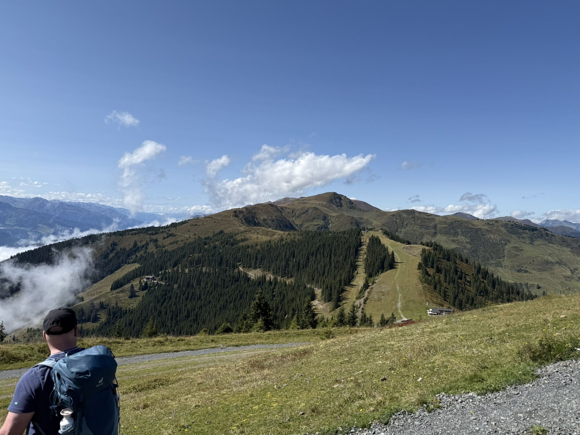


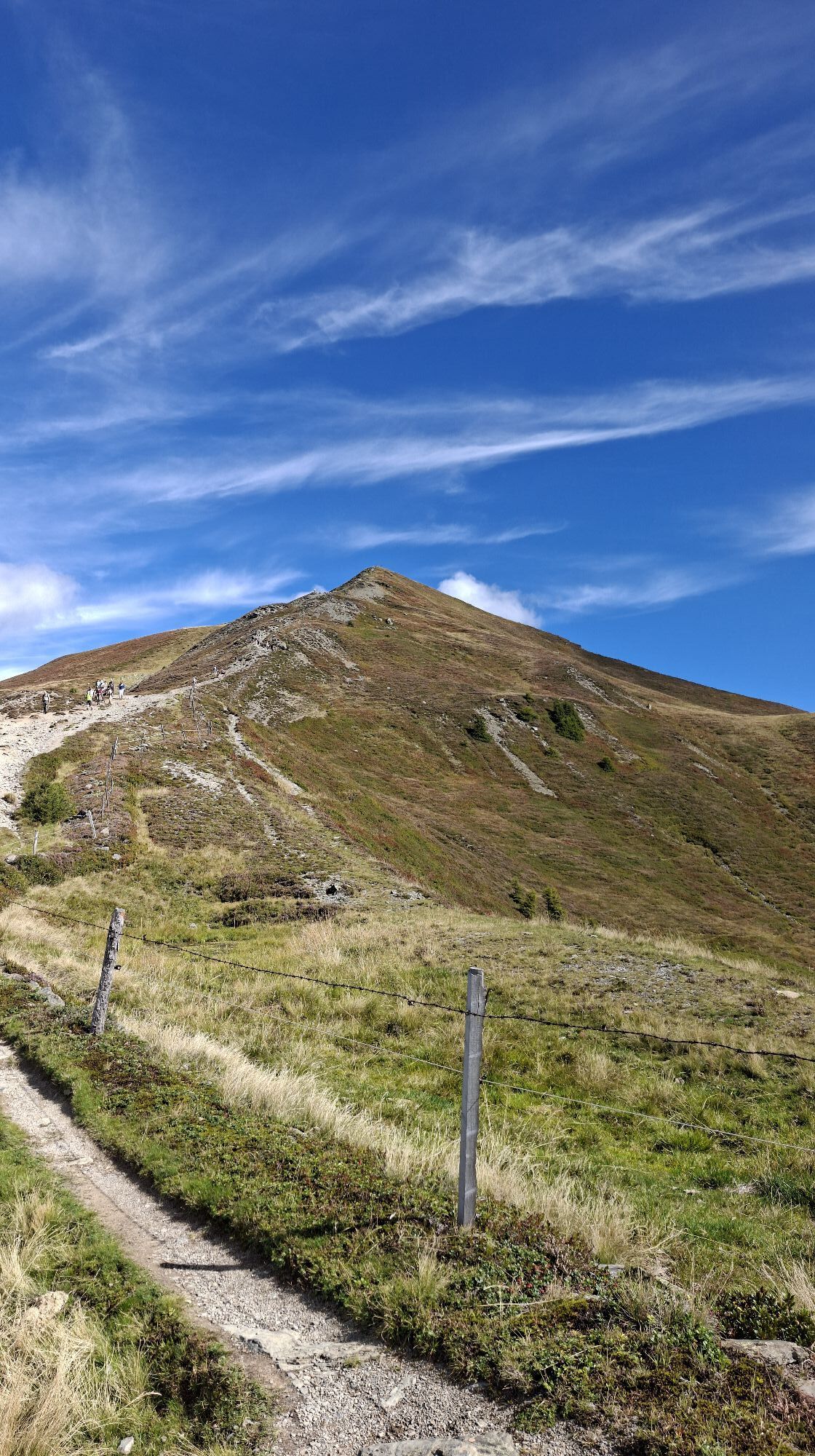

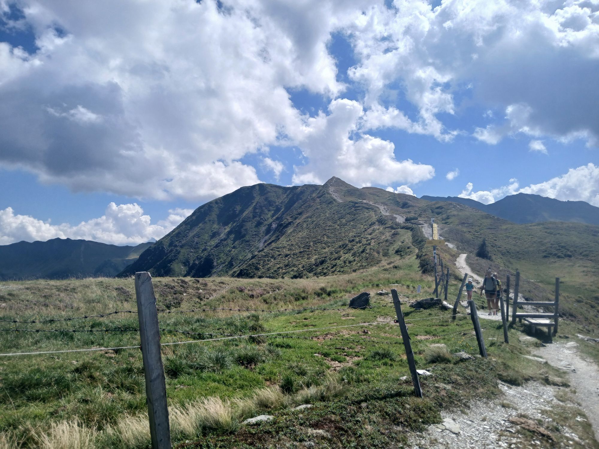
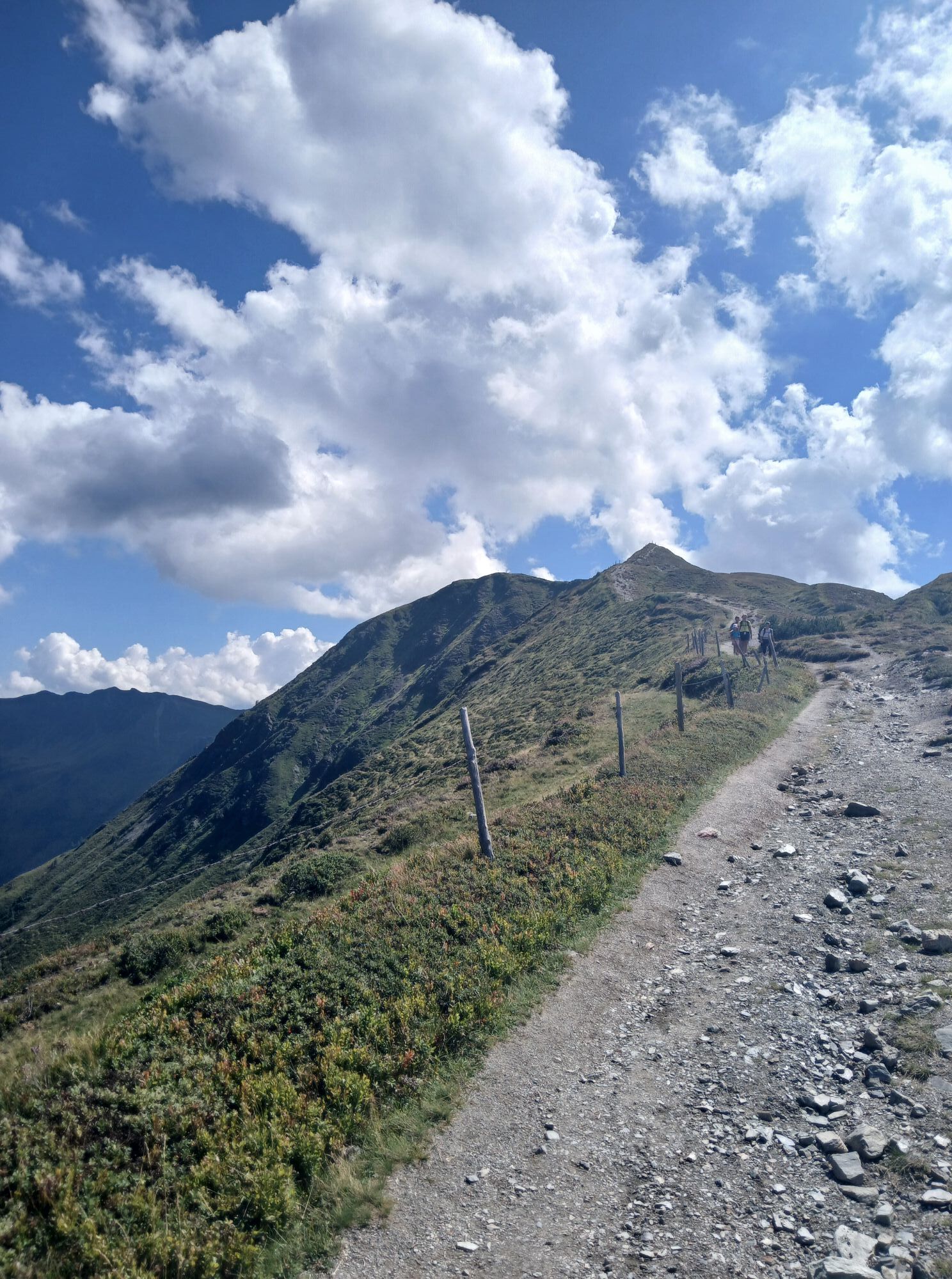
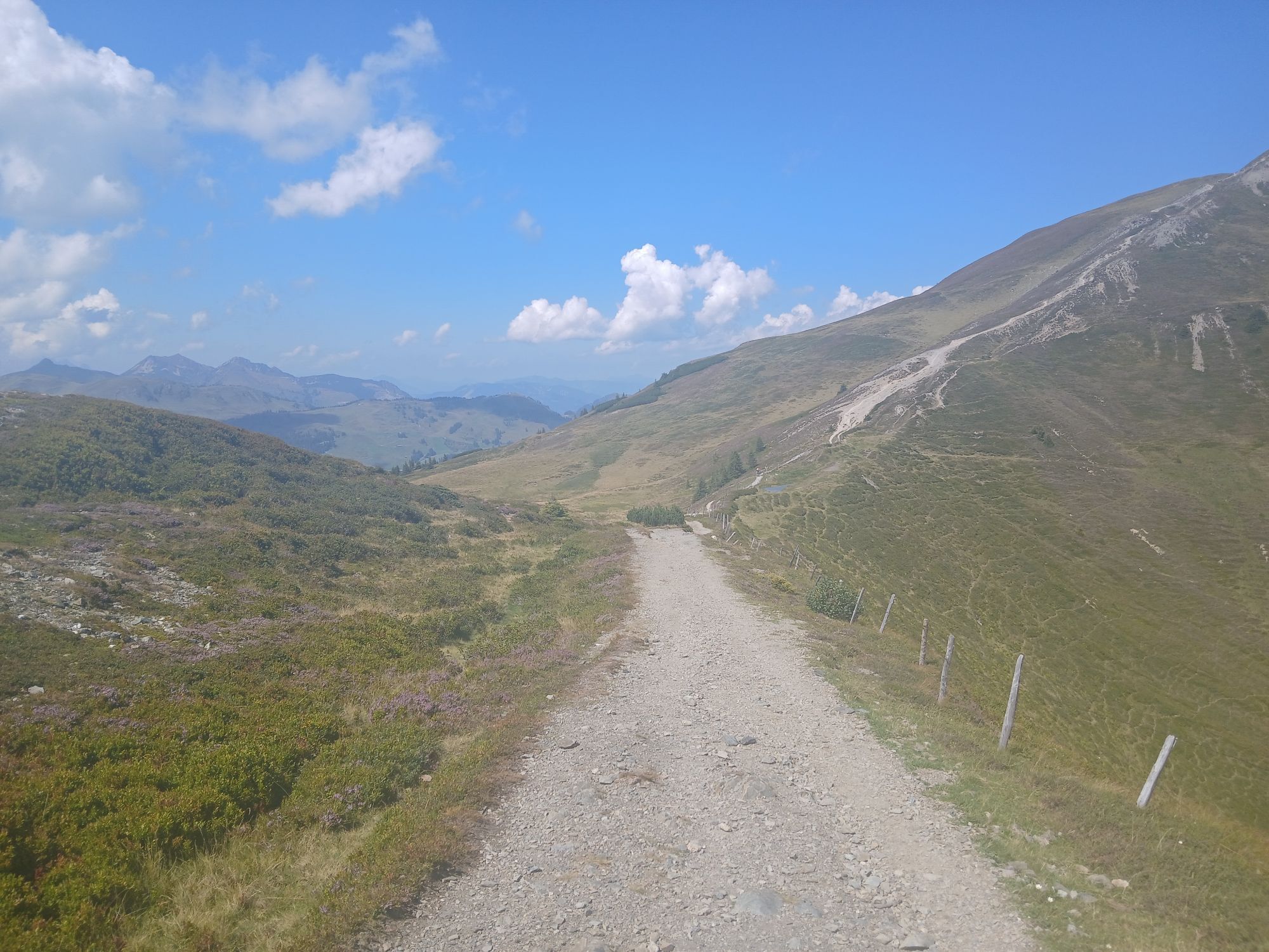


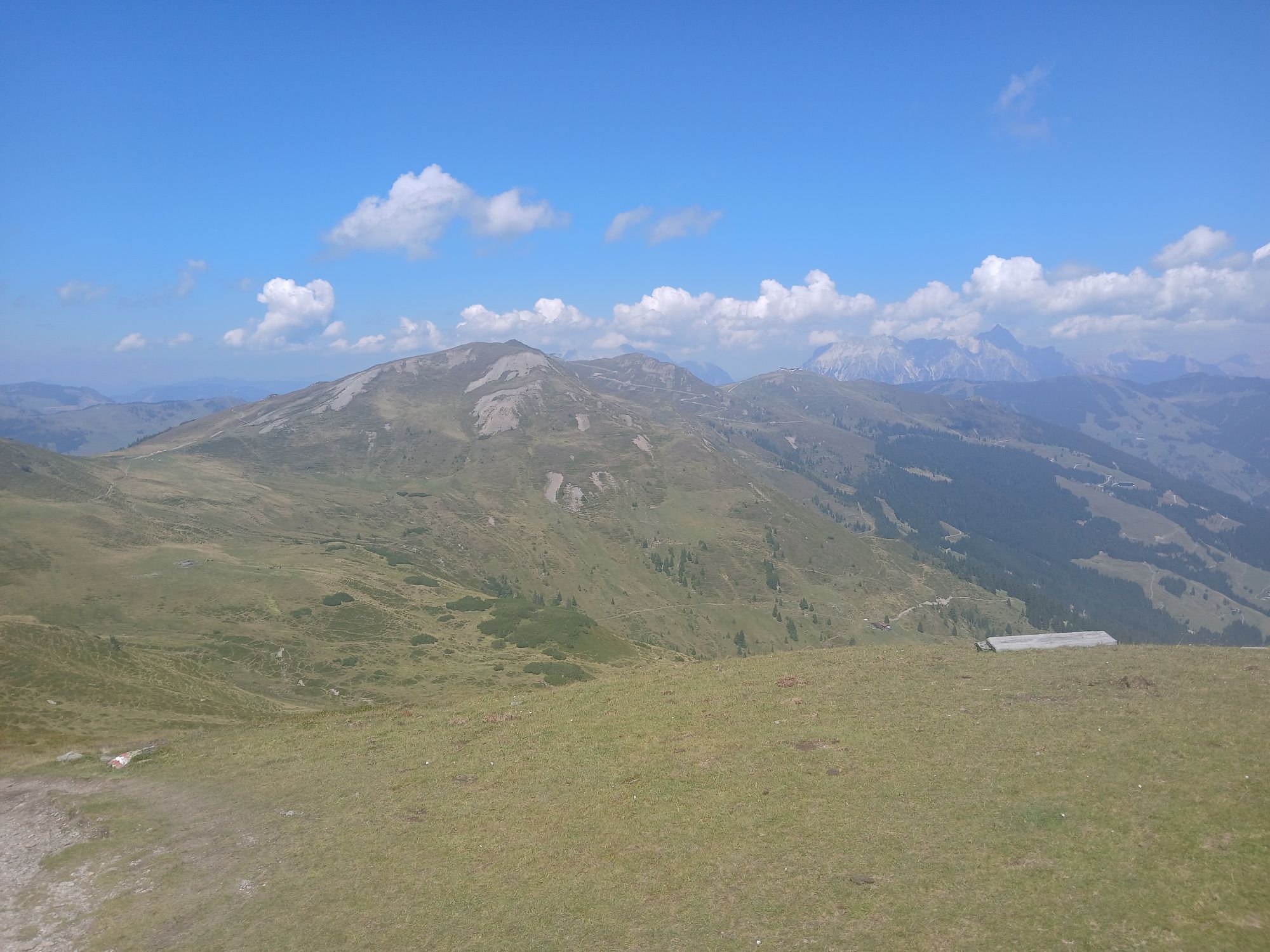


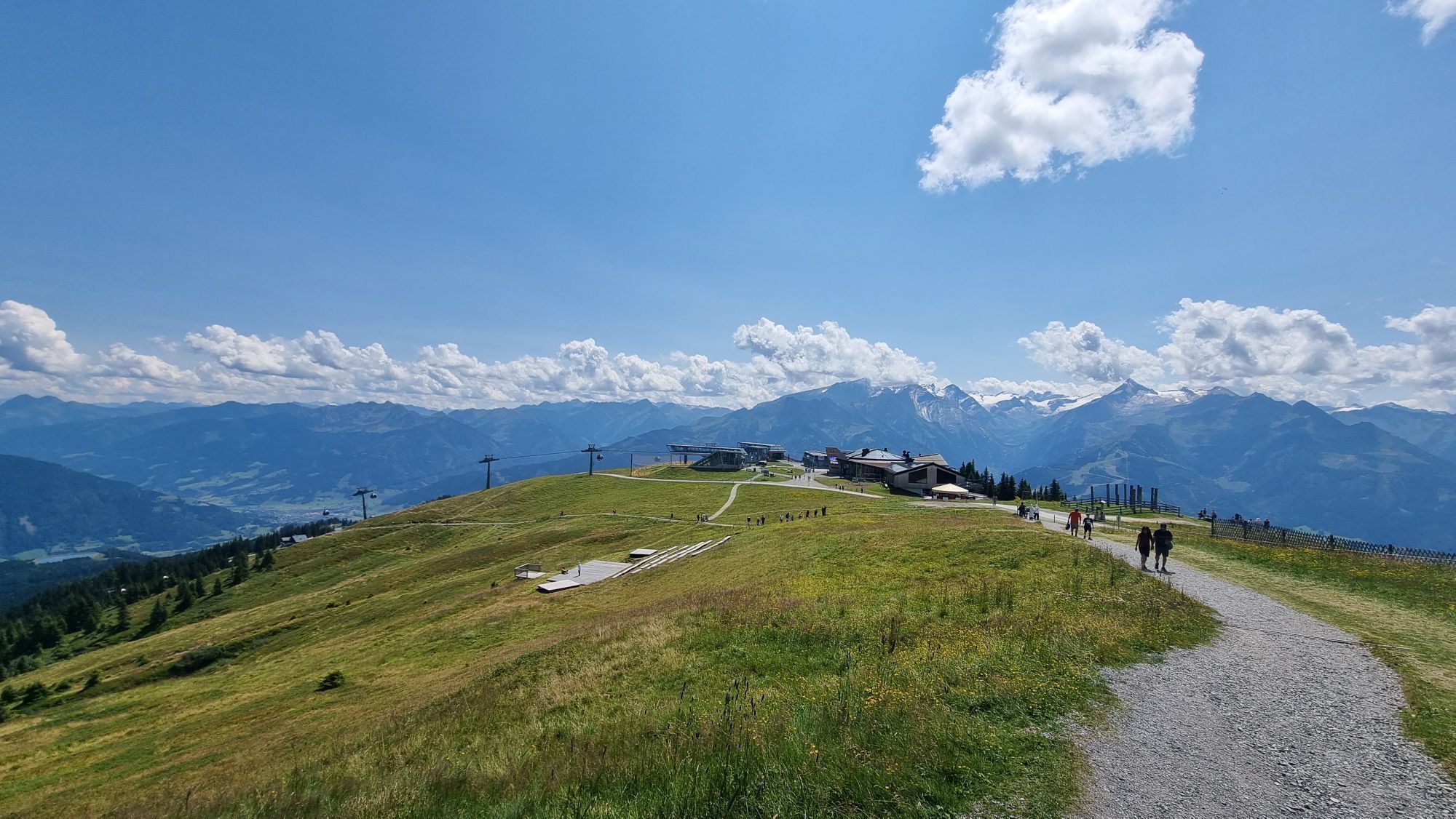


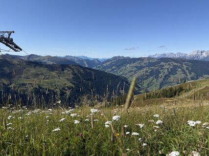
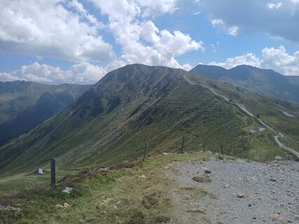
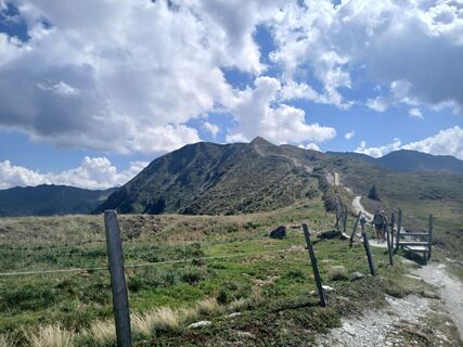
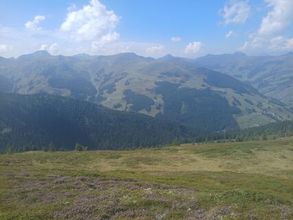
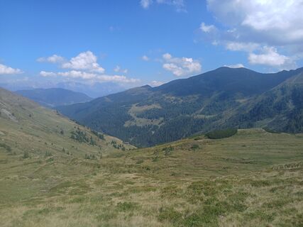
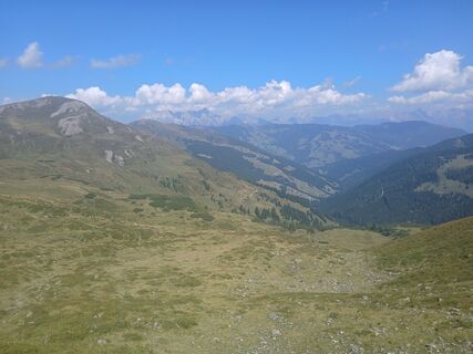
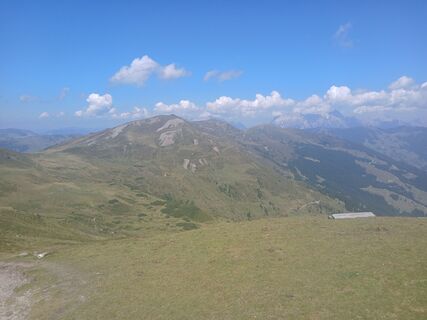
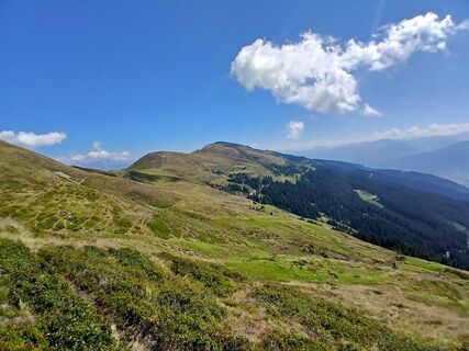
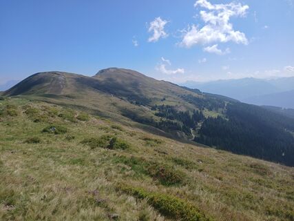
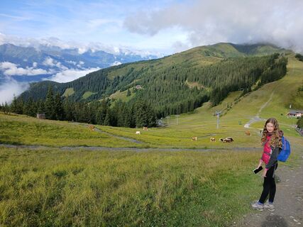
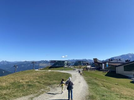
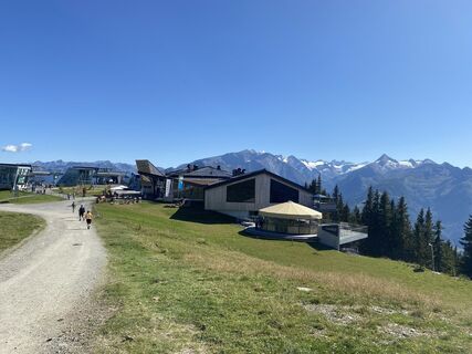
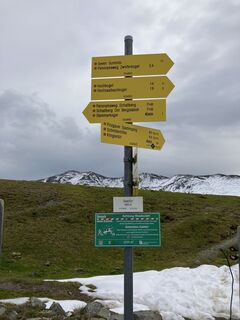
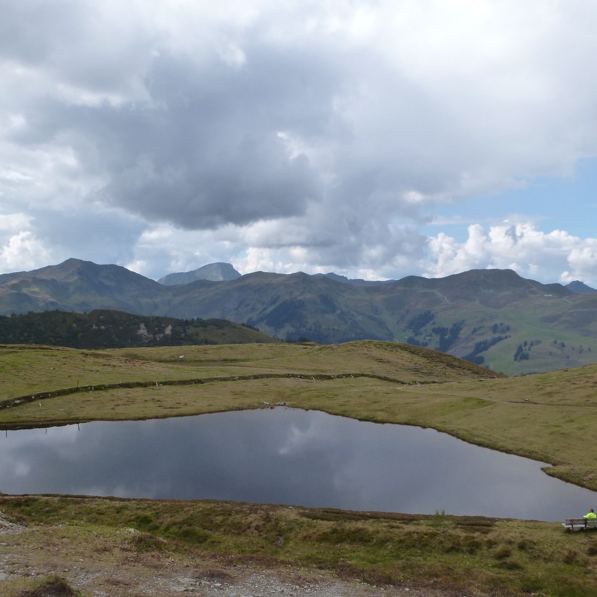
El Pinzgauer Spaziergang sigue las crestas sur de las Grasberge siempre por la línea de menor resistencia. Así, en 18 kilómetros solo hay que superar unos 600 metros de desnivel en ascenso. Lo mejor de...
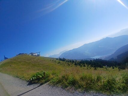
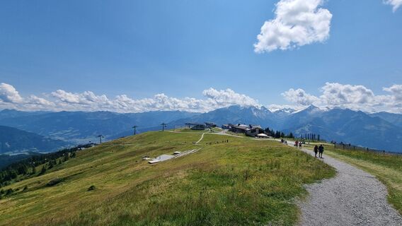
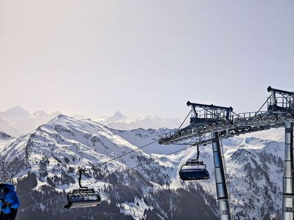
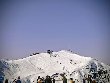
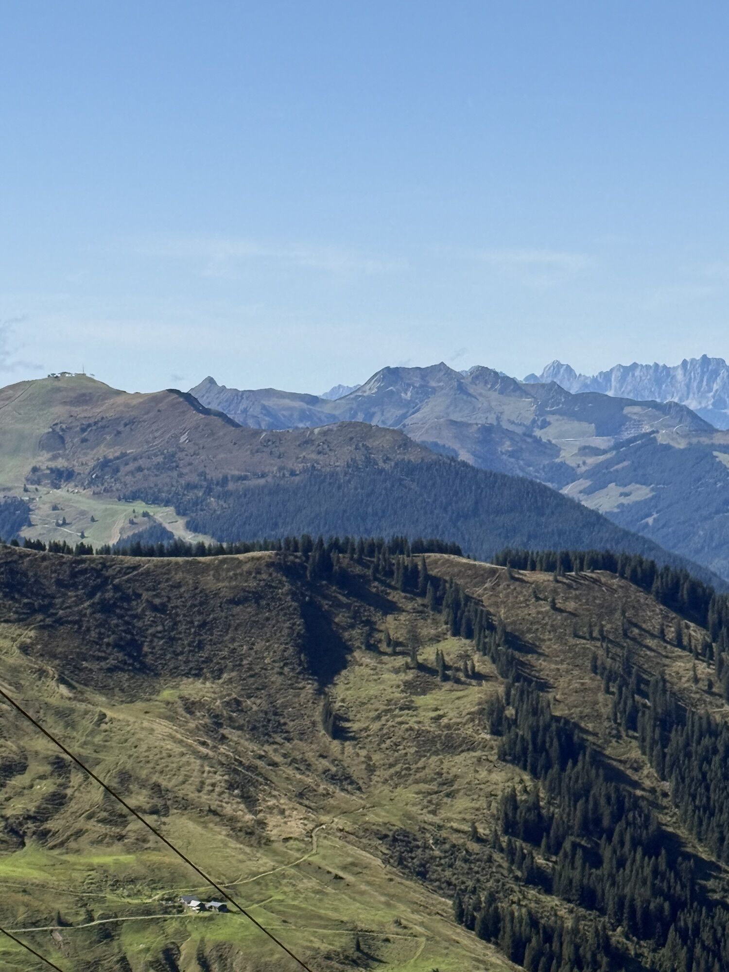
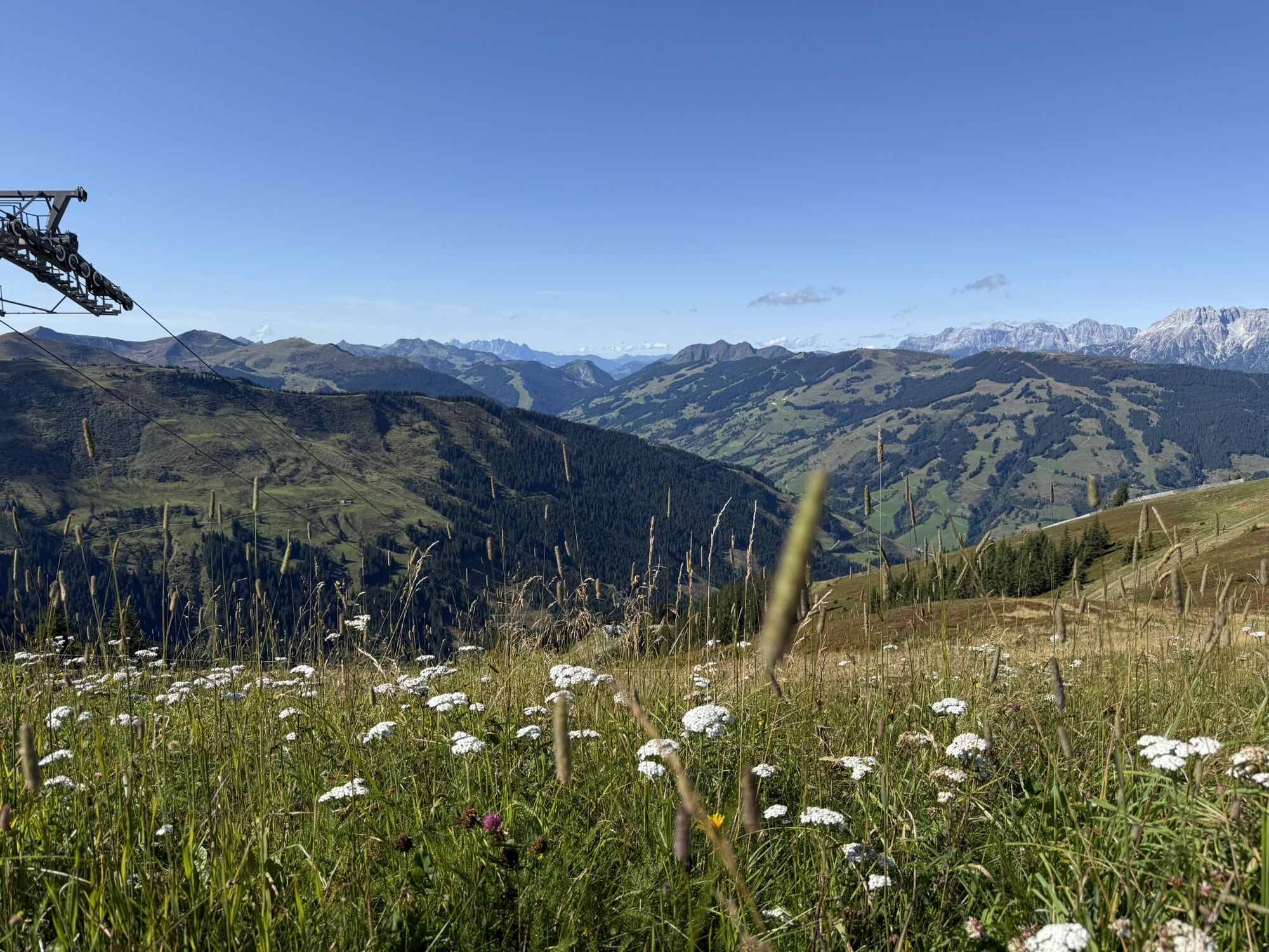
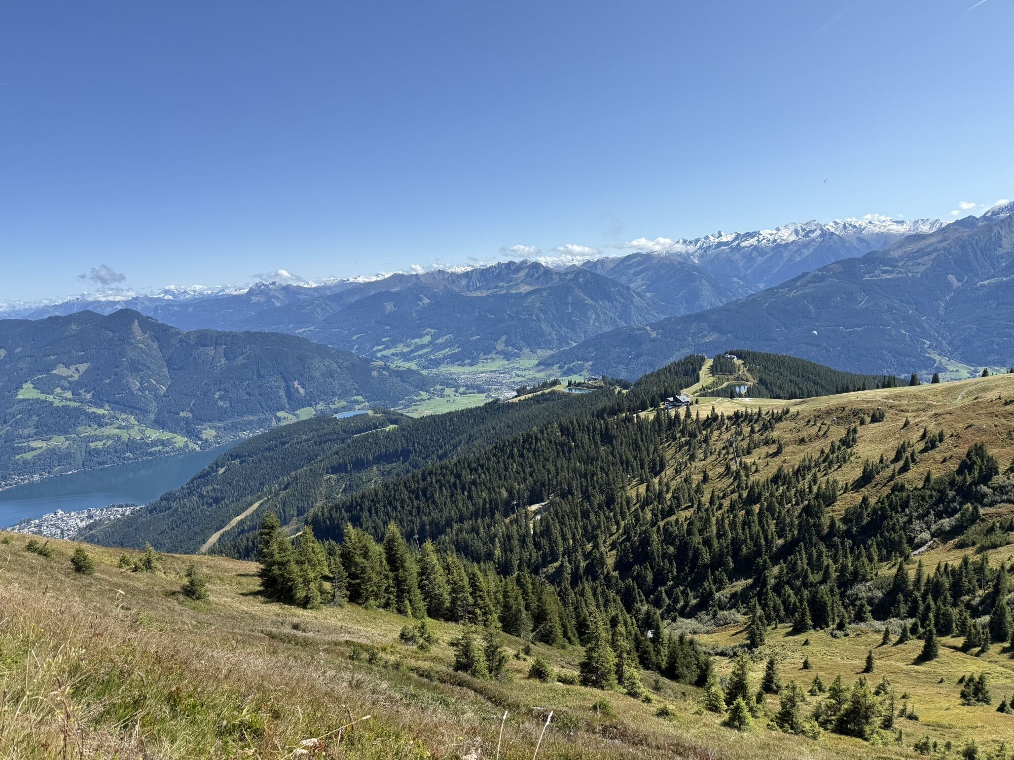
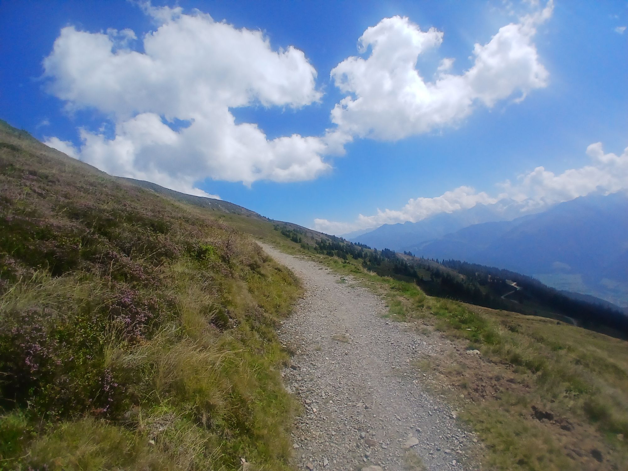
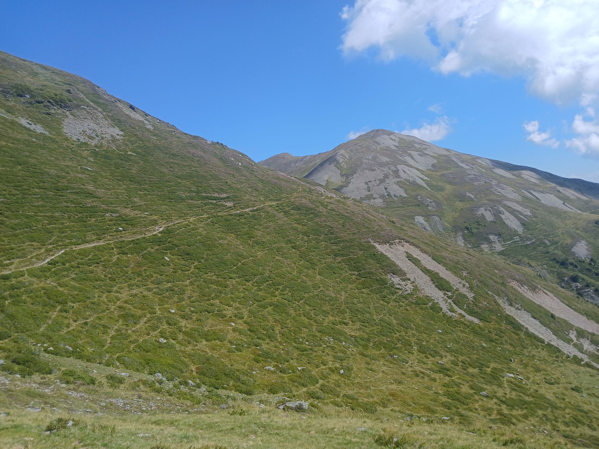
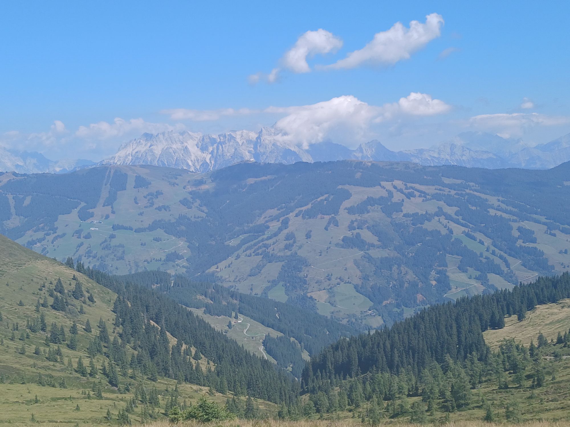
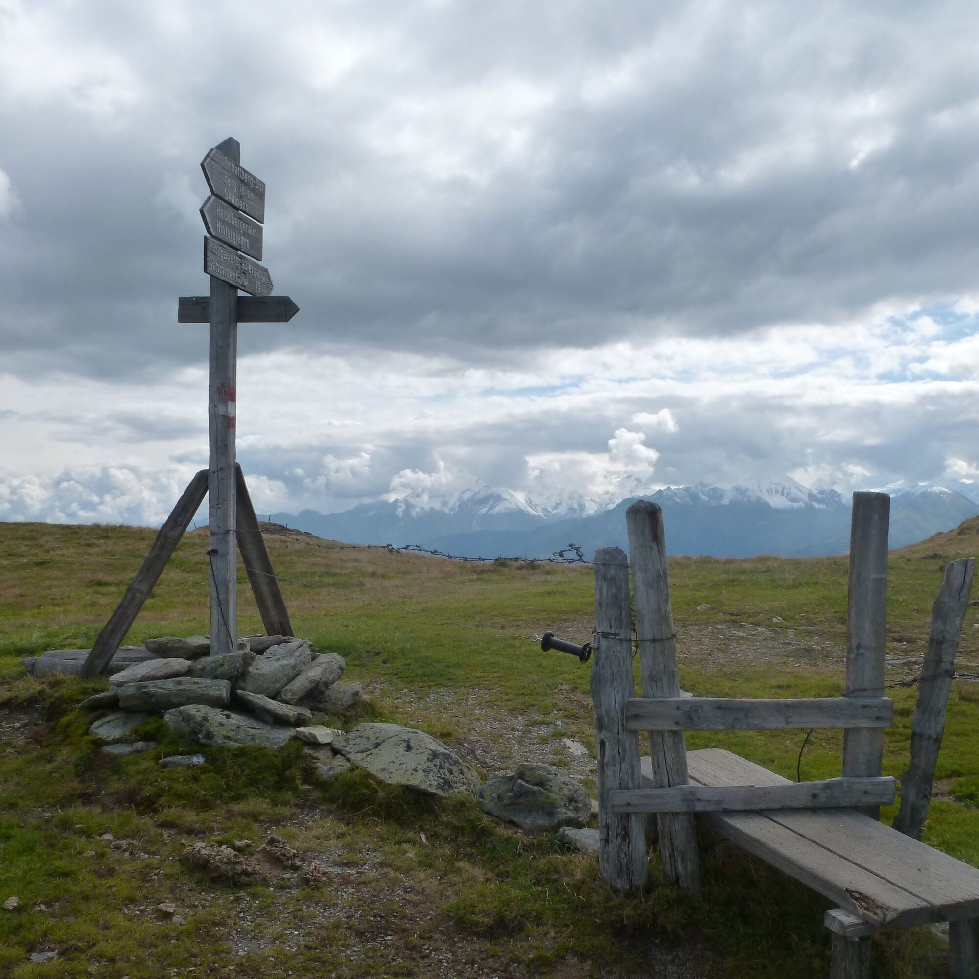
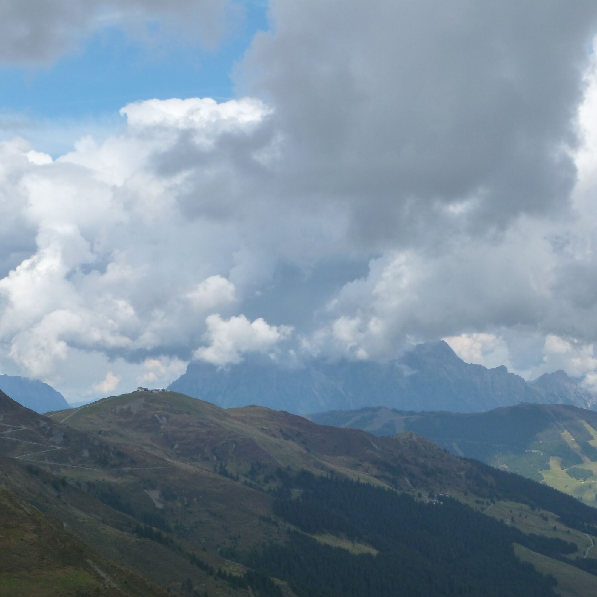
La excursión comienza cómodamente con el viaje en el Schattberg-Express. Desde la estación superior se baja brevemente hacia la cima oeste y se pasa a la izquierda, subiendo ligeramente al Marxtenscharte. Luego se sigue el recorrido de la cresta por el Stemmerkogel y el Saalbachkogel hasta el Seetörl o se rodean estas cumbres por el lado oeste. Poco después se alcanza el punto más alto de la ruta en Klingertörl, debajo del Hochkogel. Desde aquí se baja brevemente de nuevo antes de que la ruta de senderismo se dirija hacia el este. El camino casi llano pasa por el Hochsonnberg, a lo largo de las laderas debajo del Zirmkogel, el Gernkogel y el Maurerkogel, pasando por la Klammscharte y el Rohertörl hasta la Kesselscharte. Sobre el Hahnkopf se alcanza el Kettingtörl desde donde el camino sube nuevamente unos 200 metros un poco más empinado hasta la cima de Schmittenhöhe. Se espera llegar a tiempo para el último viaje de descenso del teleférico Schmittenhöhe (en verano a las 17:00, en primavera y otoño a las 16:30), que lleva relajadamente hasta Zell am See. De vuelta a Maishofen se puede ir a pie por el paseo del río o usar el autobús que circula cada media hora (línea 260 o 680).

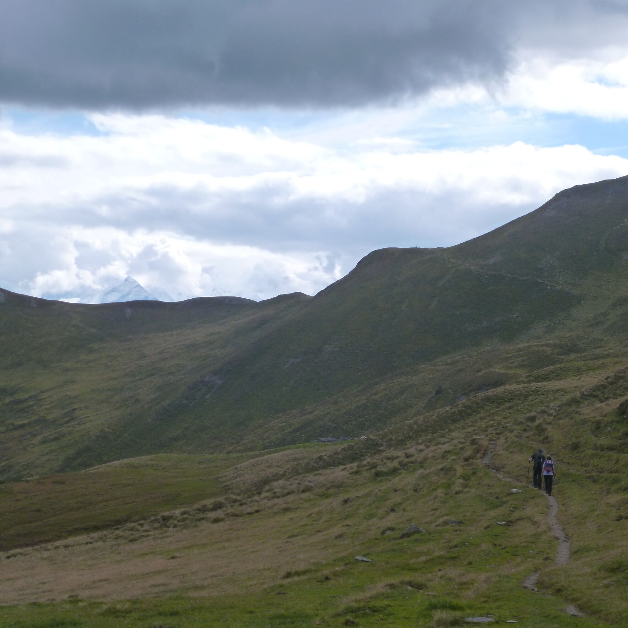
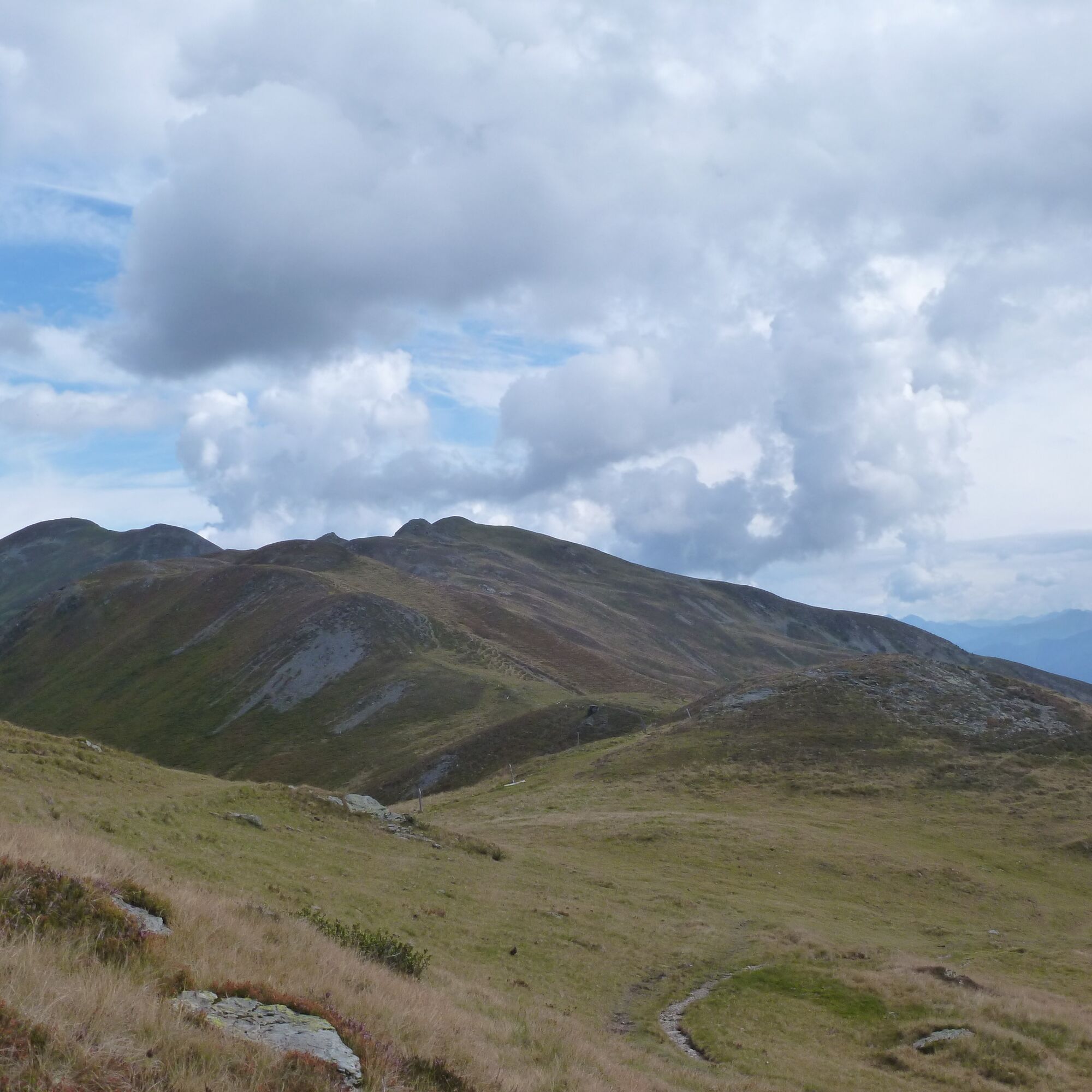
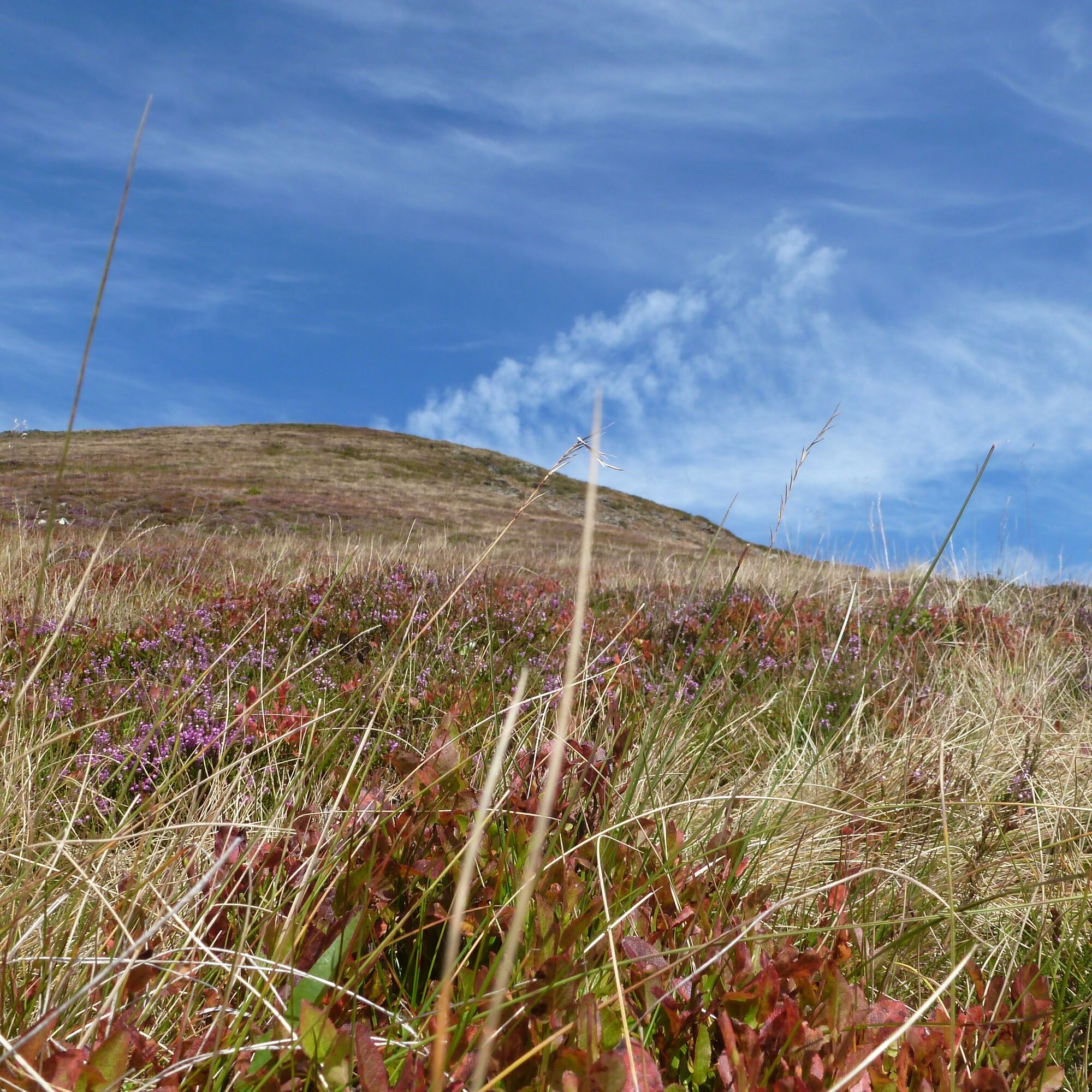
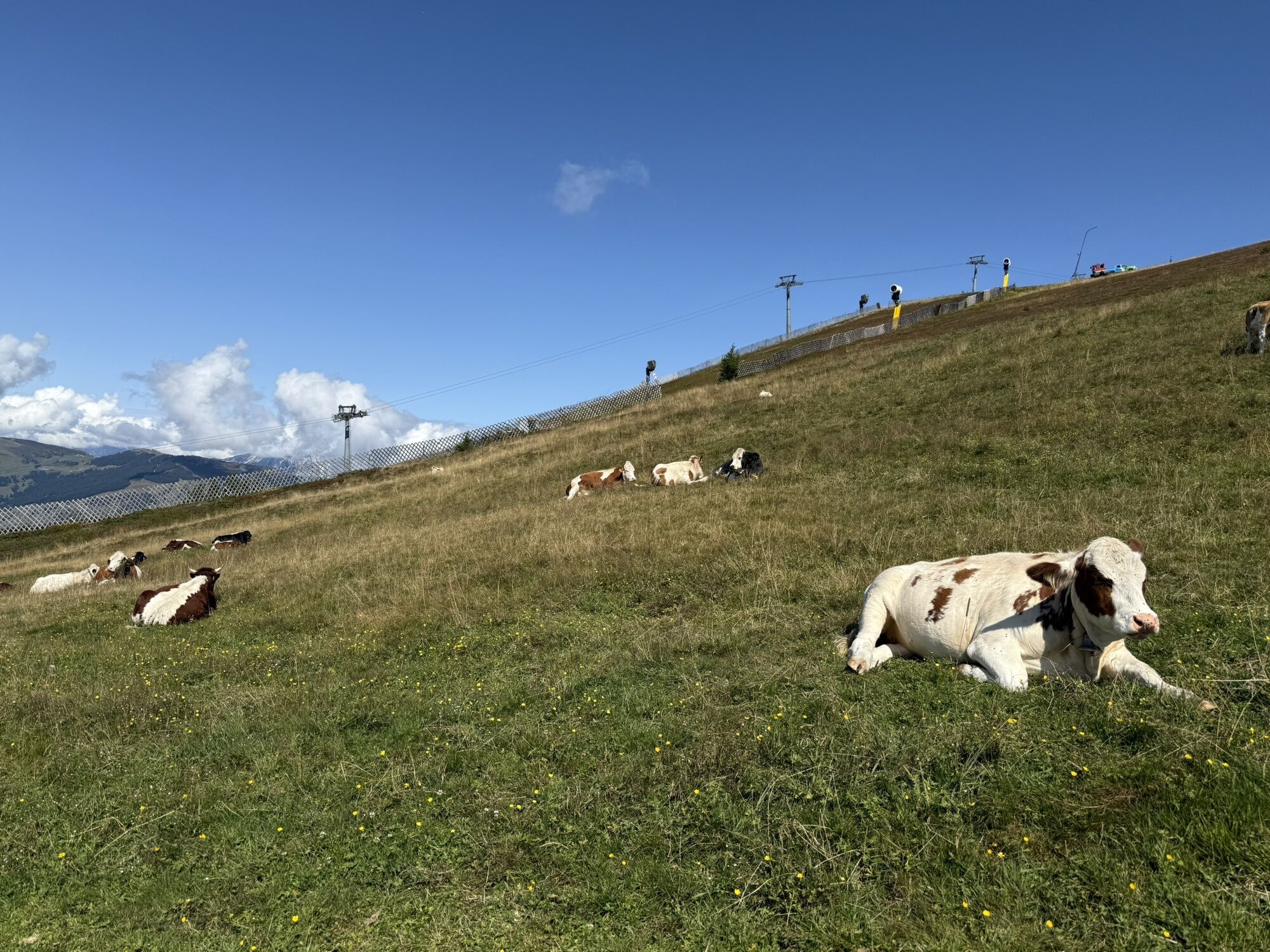
Ruta de senderismo sobre praderas alpinas altas. No hay subidas o bajadas largas, pero debido a la longitud se requiere algo de resistencia.
Sí
Sí
Sí
En la ruta hay manantiales y arroyos, por lo que el suministro de agua no debería ser un problema.
Como se trata de una ruta lineal, es mejor usar transporte público.
Línea de autobús Postbus 680 de Maishofen a Saalbach (aproximadamente 25 minutos de viaje). Lun-Dom: 07:00-18:30 · Salidas cada hora.
Diversos aparcamientos en Maishofen.
Teleféricos Saalbach: http://www.saalbach.com/de/sommer/bergbahnen.html
También se puede seguir el Pinzgauer Spaziergang hacia el oeste desde Klinglertörl y descender a Uttendorf, o aún más al oeste a Stuhlfelden.
Webcams del recorrido
-
Schmittenhöhe
-
Schattberg - West
-
Schattberg Westgipfel
-
Hinterglemm Dorf
-
Kohlmais Tal
-
Sonnkogel
-
Schmittenhöhe
-
Zell am See / Hotel Berner
-
Schmittenhöhe
-
Schmittenhöhe
-
Hinterglemm - Saalbach
-
Schattberg-Ost
-
Zwölferkogel
-
zellamseeXpress
-
Martenhof
-
Wohlfühlhotel-Johanneshof
-
Eberharthof - Saalbach-Hinterglemm
Rutas populares en los alrededores
-
4,7
Tristkogel
pesadoSenderismo 15,6 km -
4,5
Sigmund Thun Klamm
luzSenderismo 3,10 km -
4,1
Schwalbenwand Nr. 80, 81, 82
medioSenderismo 13,0 km -
4,8
Sigmund Thun Klamm, Klammsee, Bürgkogel
luzSenderismo 4,56 km -
4,5
Hoher Tenn mit Bergspitze 3.368m, Schneespitze 3.317m, Kleiner Tenn 3.158m, Bauernbrachkopf 3.125m, Kempsenkopf 3.090m, Imbachhorn 2.470m, Rettenzink 2.510m & Rosskopf 1.999m
pesadoExcursión de alta montaña 31,8 km -
5,0
Manlitzkogel
pesadoSenderismo 13,4 km -
4,4
Thumersbach, Runde um den Zeller See
luzSenderismo 13,3 km -
4,2
Sendero de altura Saalachtaler ESTE (Asitz - Biberg)
medioSenderismo 13,1 km -
4,0
Montaña de los sentidos
luzSenderismo 4,39 km -
4,7
Areitweg - Plettsauerkopf - Rundwanderung
medioSenderismo 11,8 km
Senderismo y rastreo


No se pierda las ofertas y la inspiración para sus próximas vacaciones
Su dirección de correo electrónico se ha añadido a la lista de correo.