






Sulzkaralm via Neuberg
Nivel de dificultad: T1
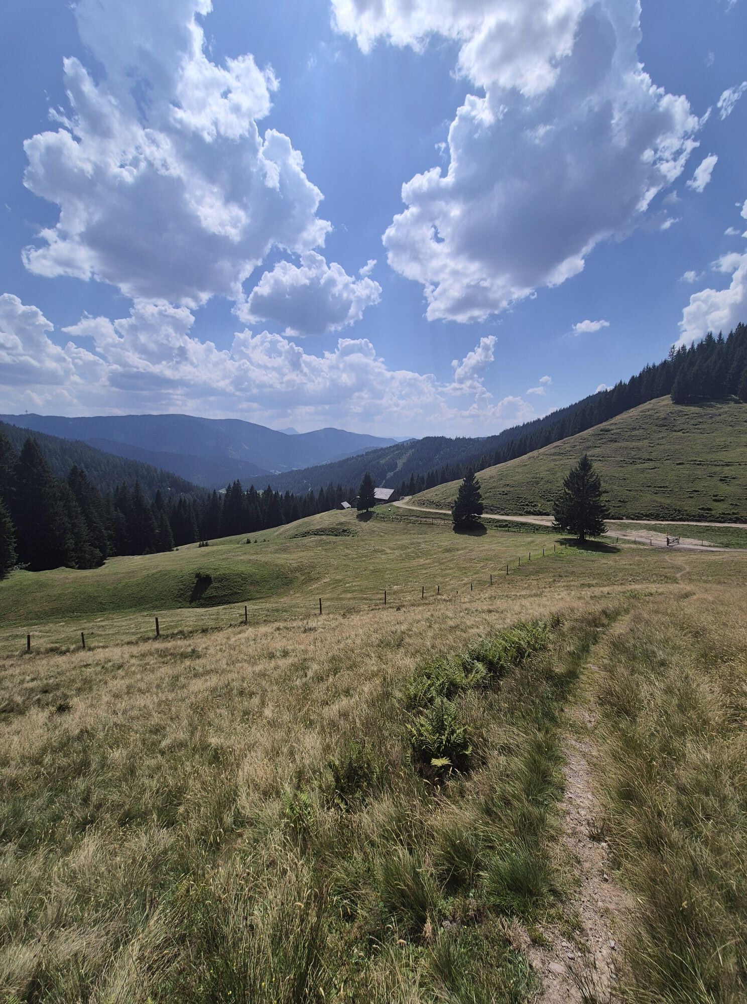
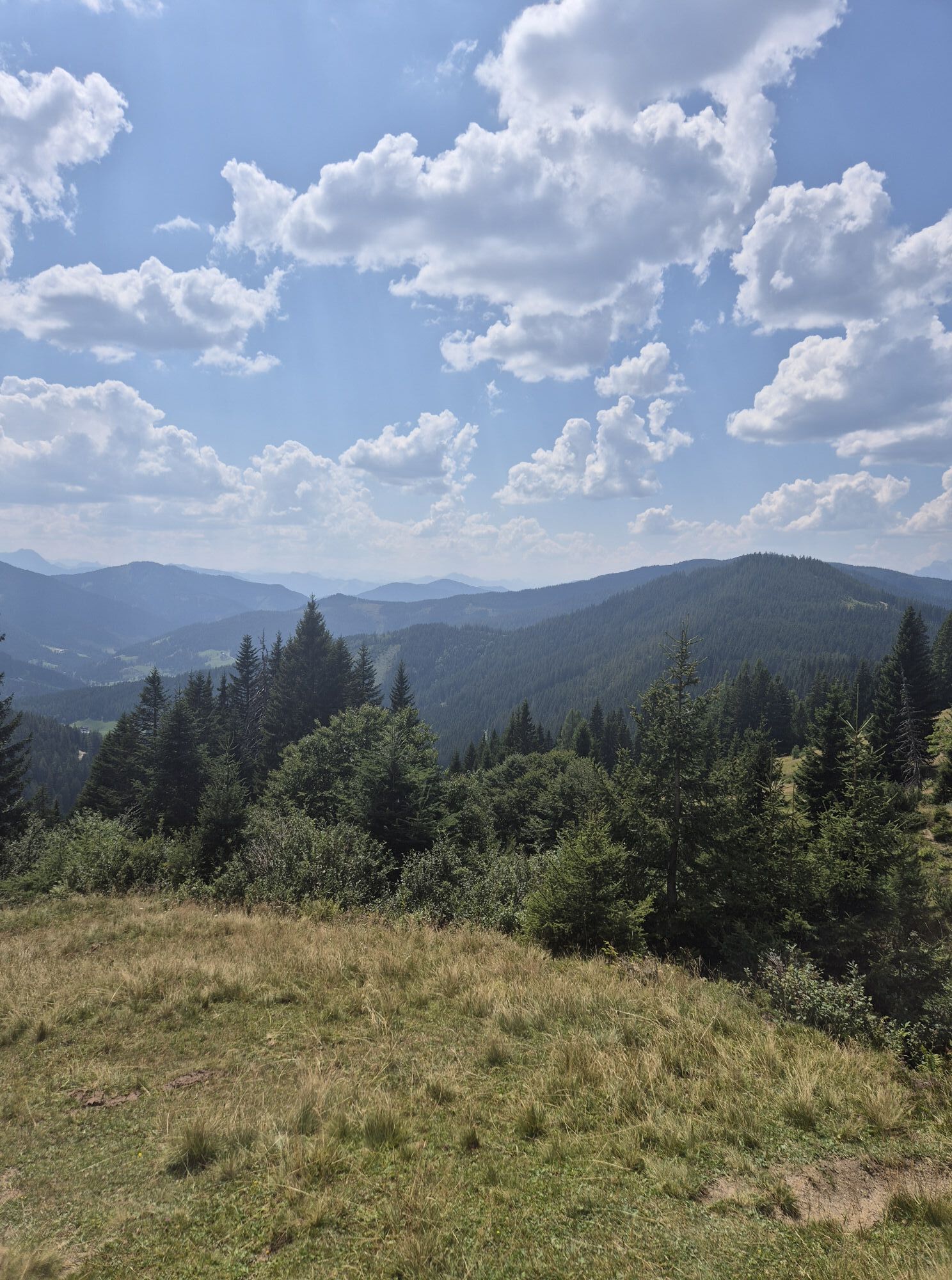
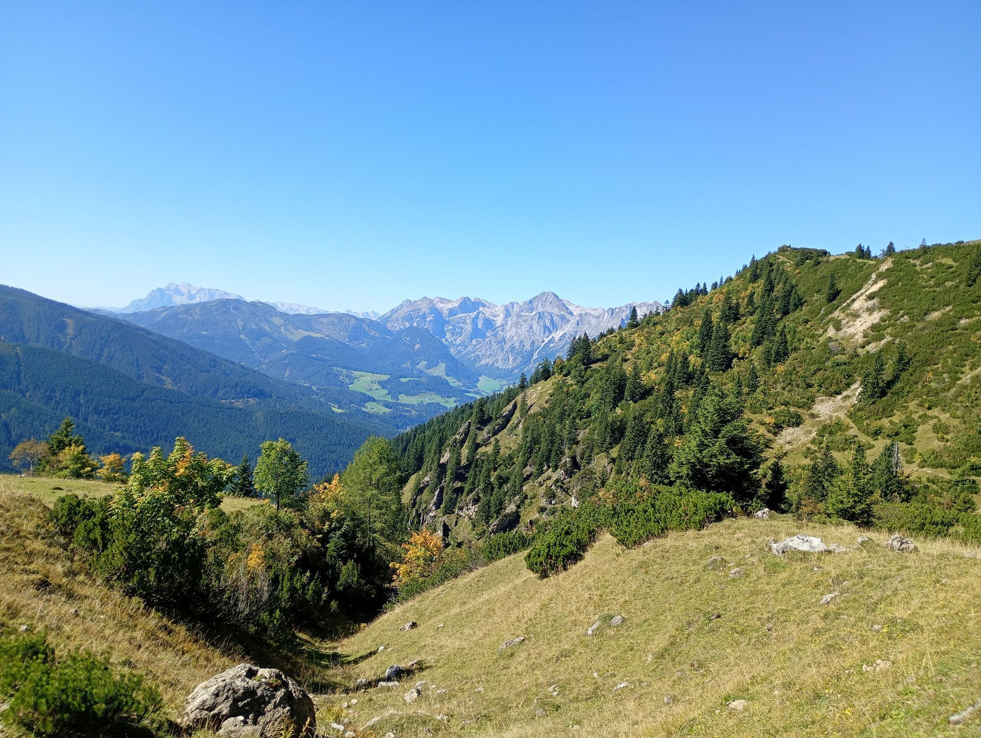
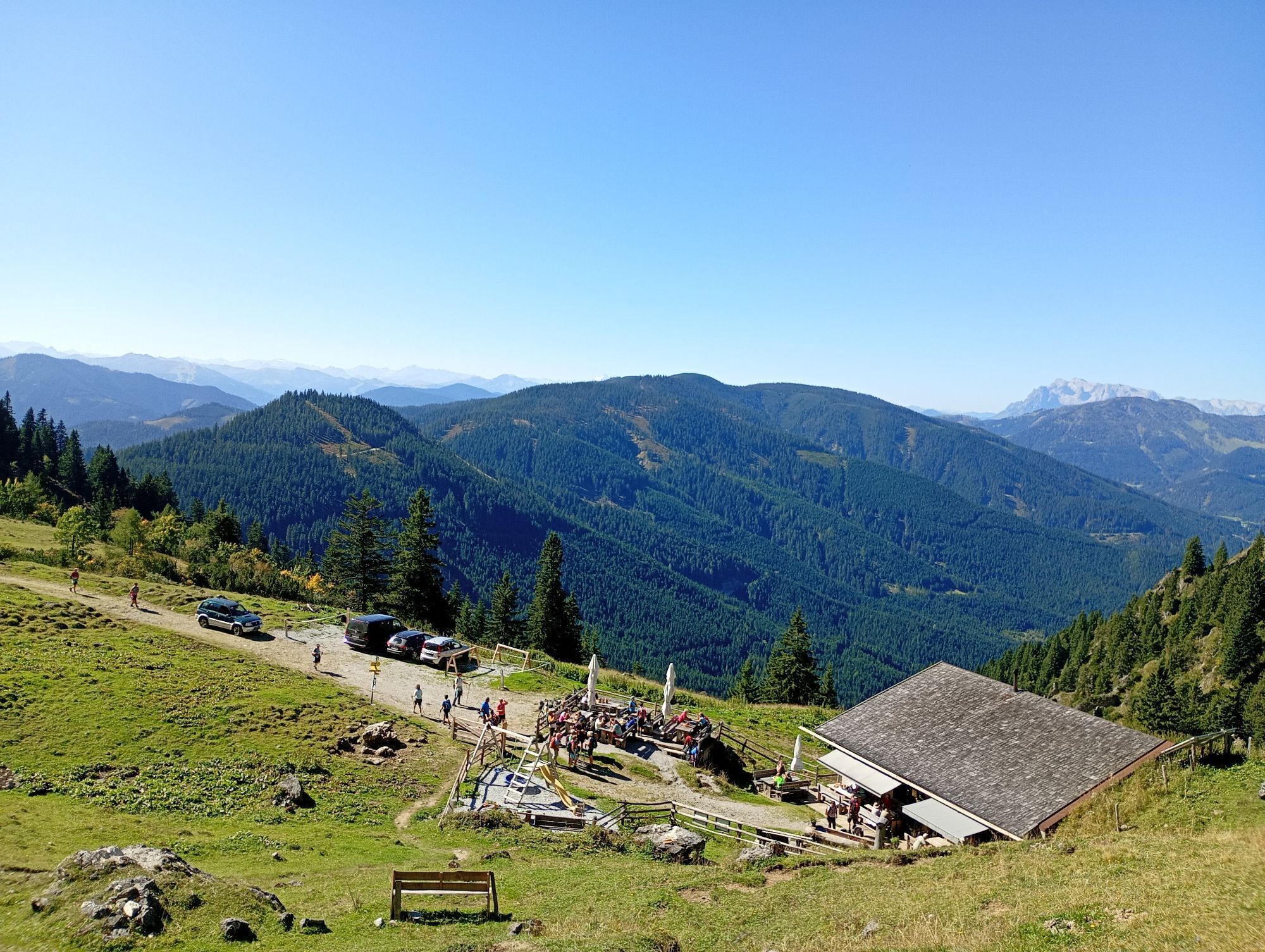
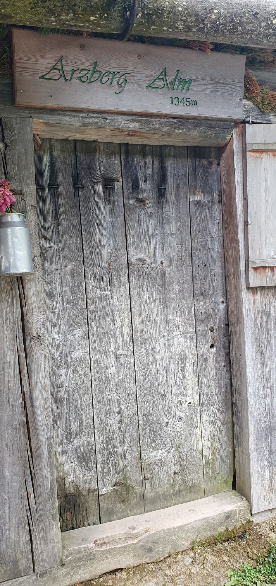
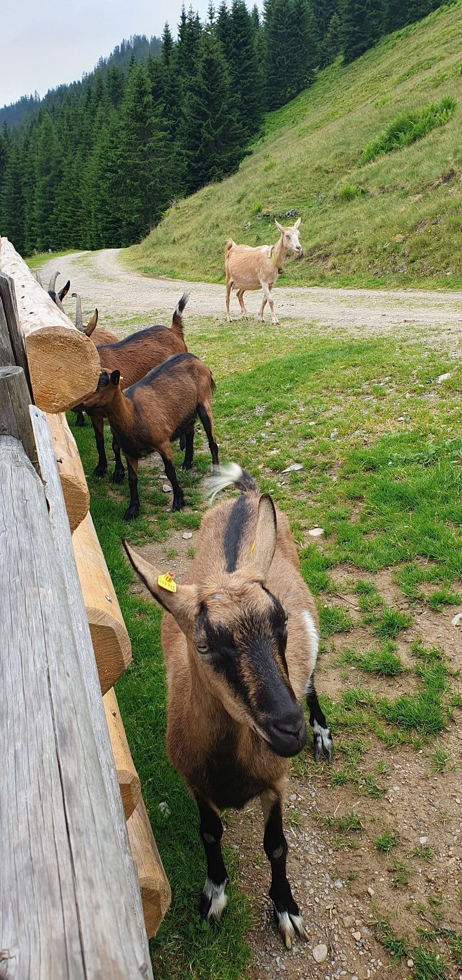
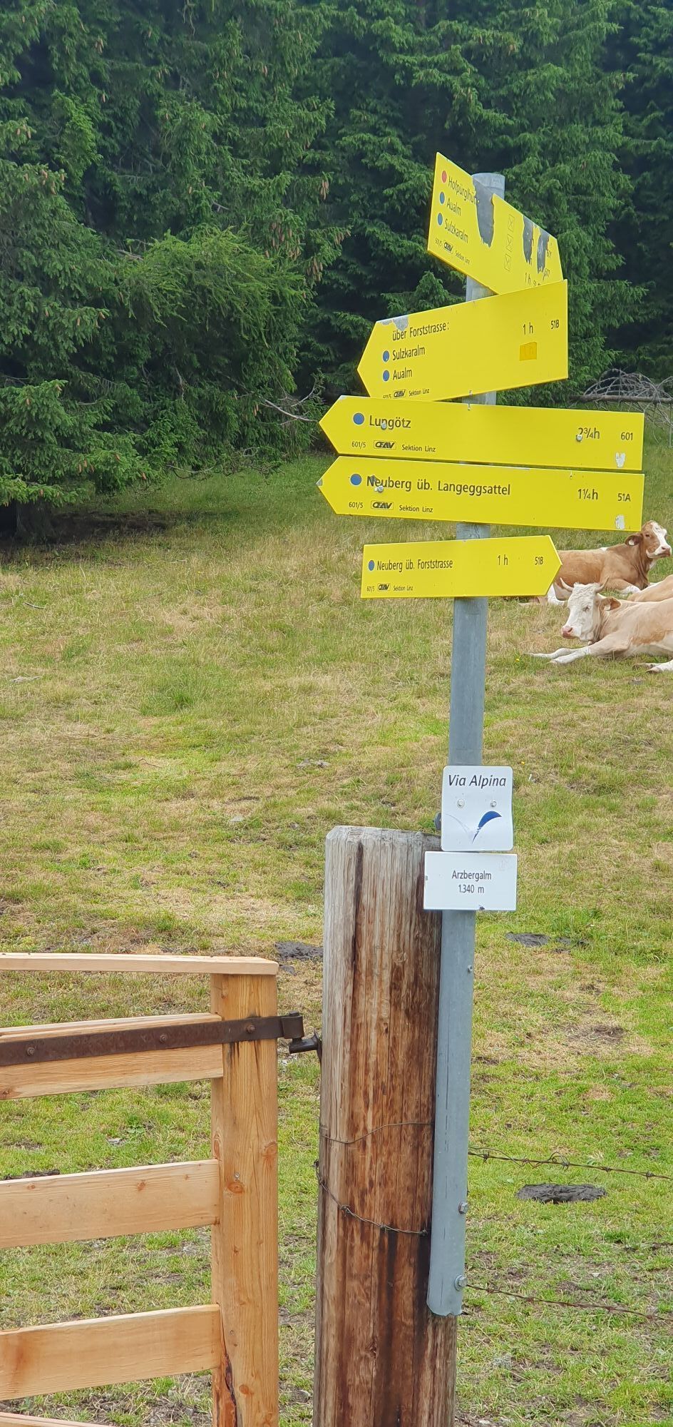
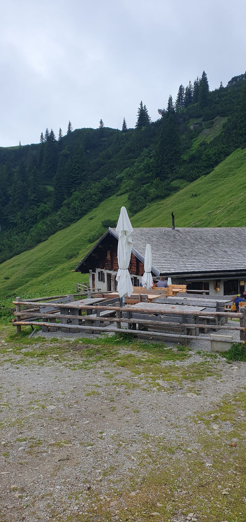
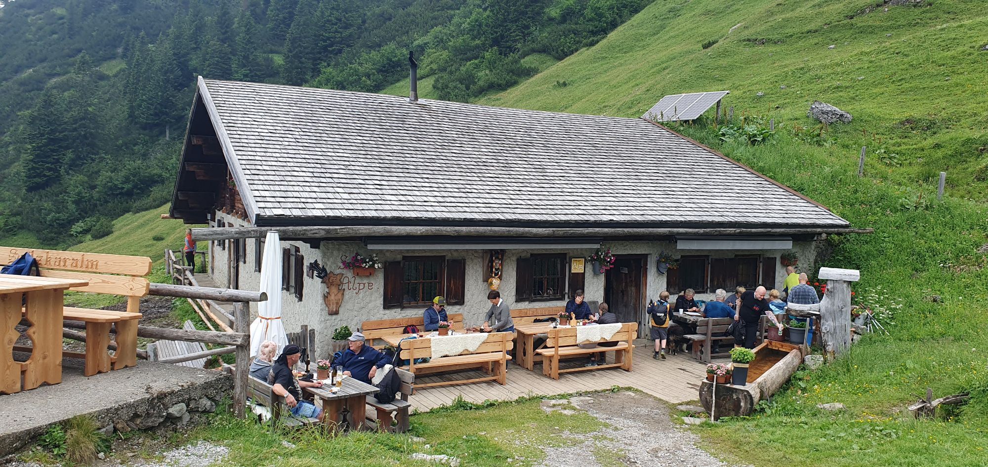
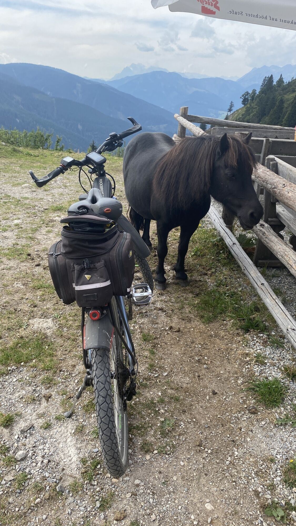
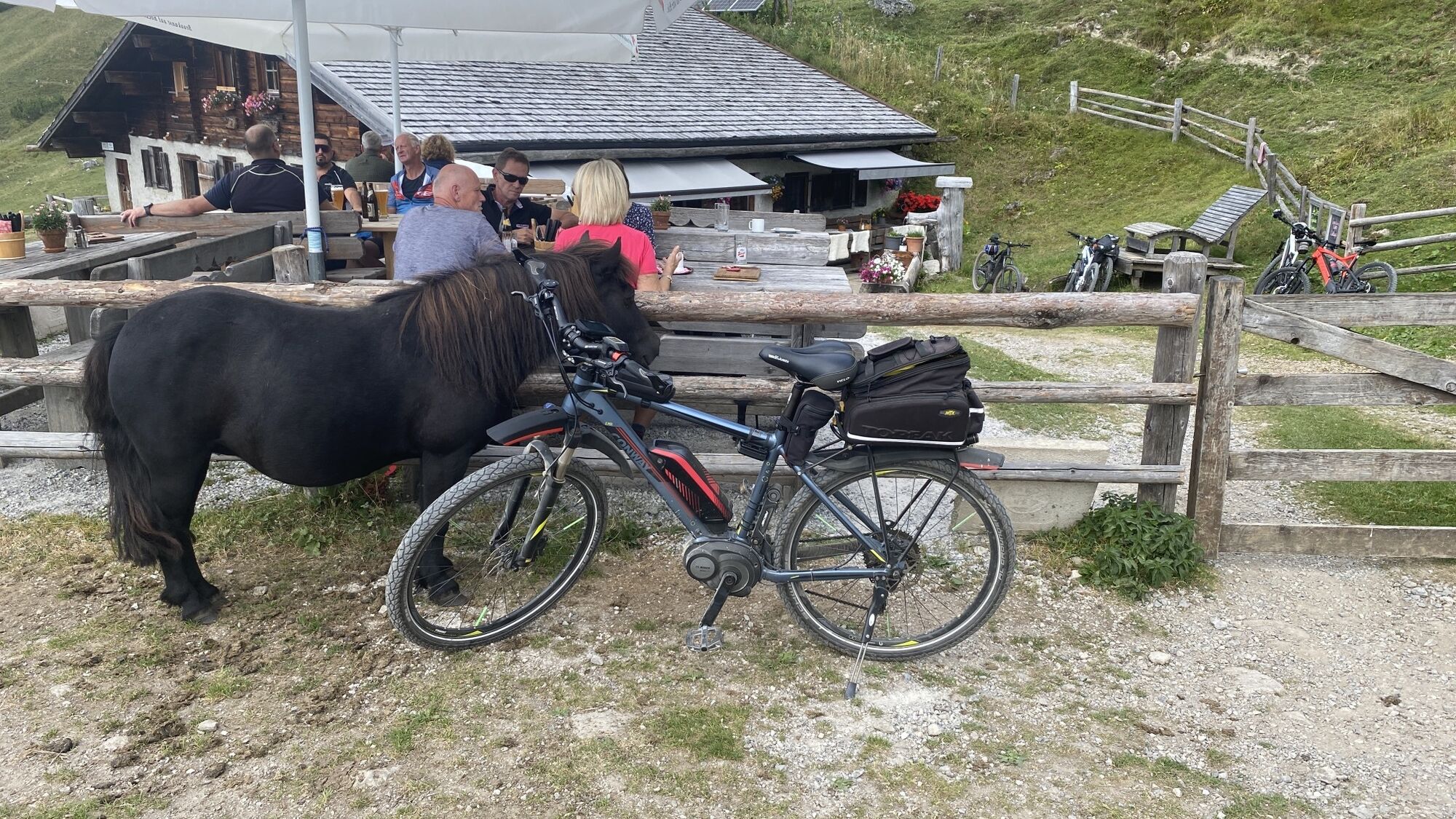
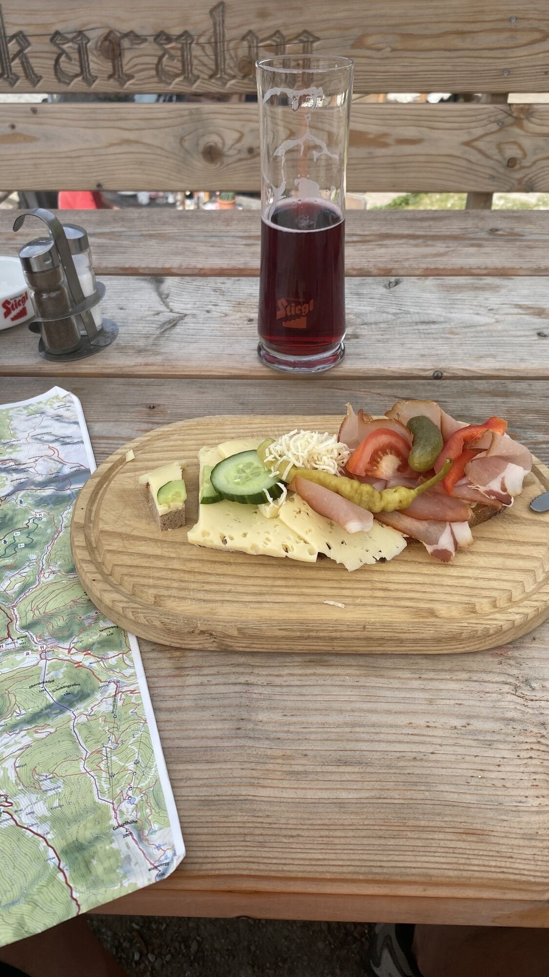
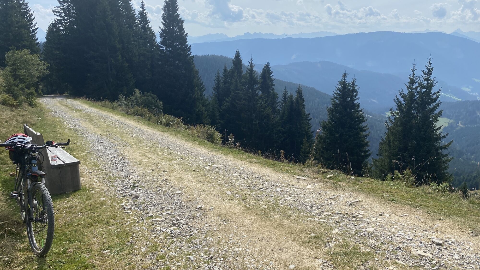
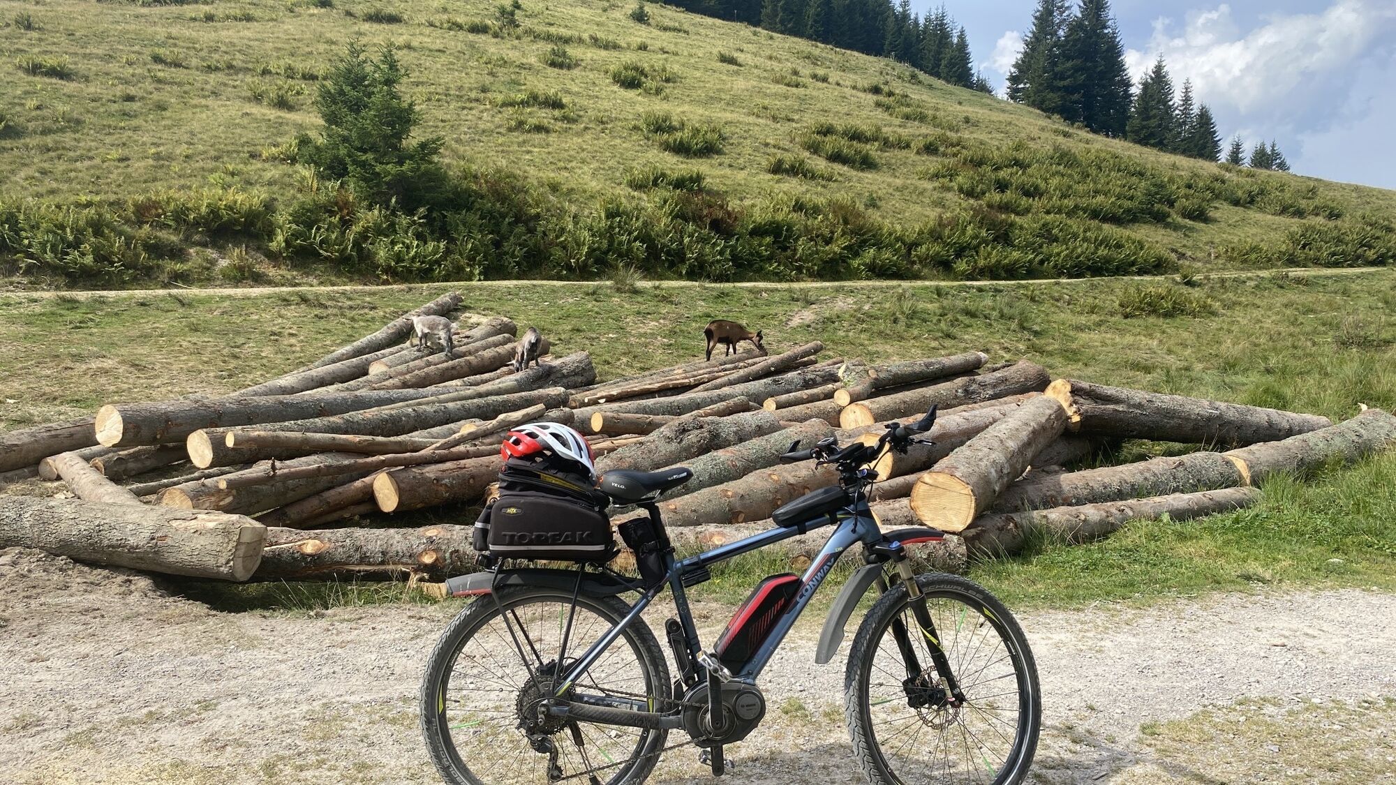
The hike to Sulzkaralm takes you through idyllic scenery, combining pleasant paths, shady forest sections and beautiful alpine landscapes. Hotel Neubergerhof is an ideal starting point. From there, the...
The hike to Sulzkaralm takes you through idyllic scenery, combining pleasant paths, shady forest sections and beautiful alpine landscapes. Hotel Neubergerhof is an ideal starting point. From there, the route leads past the traditional farmhouses of Langegghof, Knablhof and Kohlegghof towards Arzbergalm. If you would like to shorten the hike, you can drive your car to the area just before the first barrier or park in the parking bay in front of Voglerbauer. From here, the actual ascent begins. Follow the forest road steadily uphill through the forest towards Arzbergalm. Shortly afterwards, an enjoyable hiking trail branches off and eventually leads you back onto the forest road. From there, it is not far to Sulzkaralm. Once you arrive, a rustic little alpine hut awaits you, inviting you to relax and enjoy the peaceful surroundings. A particularly popular treat is the delicious cheese platter featuring homemade cheeses – a wonderful reward after the climb. For the return journey, follow the forest road downhill again. This hike is a wonderful way to experience the diverse natural scenery around Filzmoos and, while enjoying a hearty alpine snack, soak up the tranquillity and authentic charm of the mountain landscape.

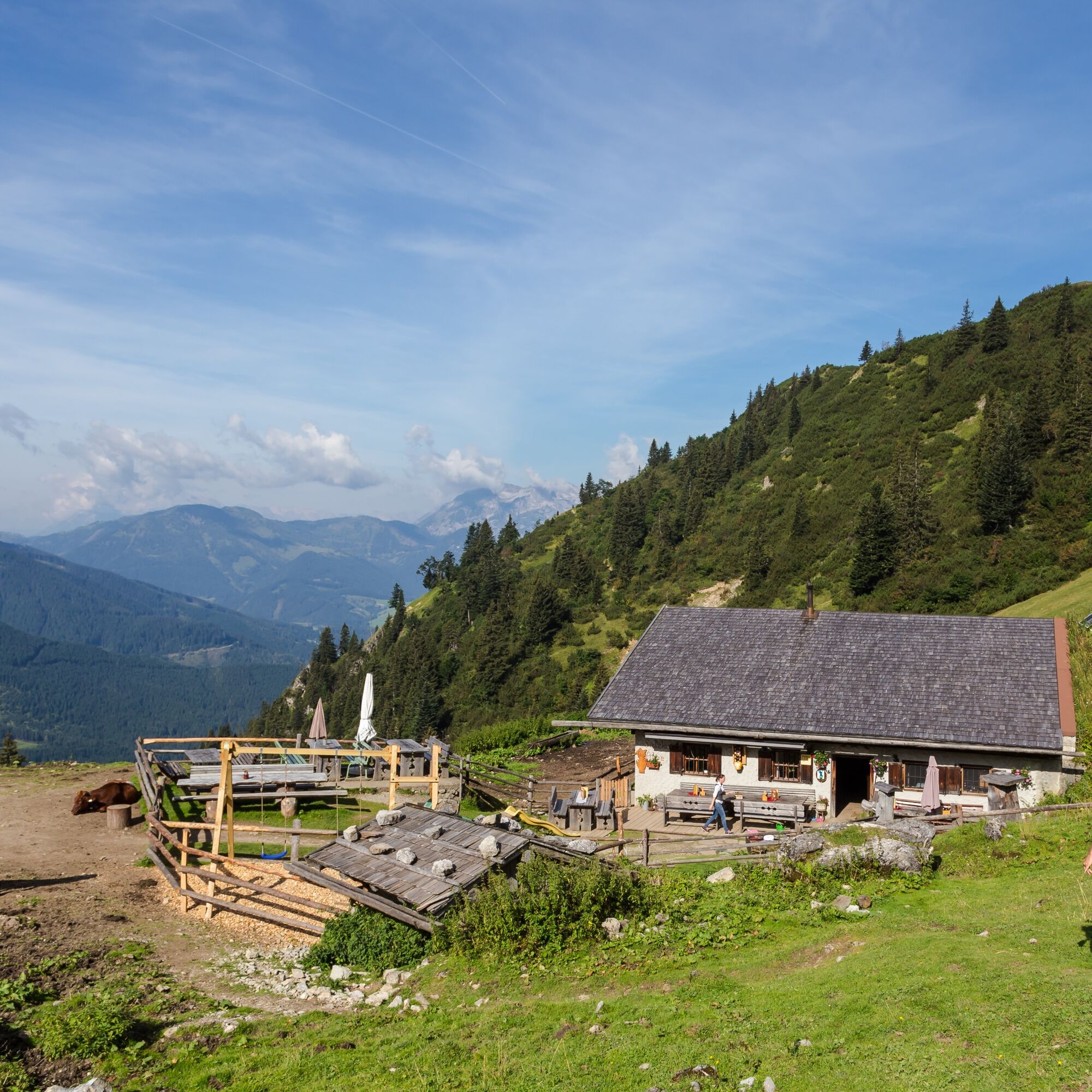
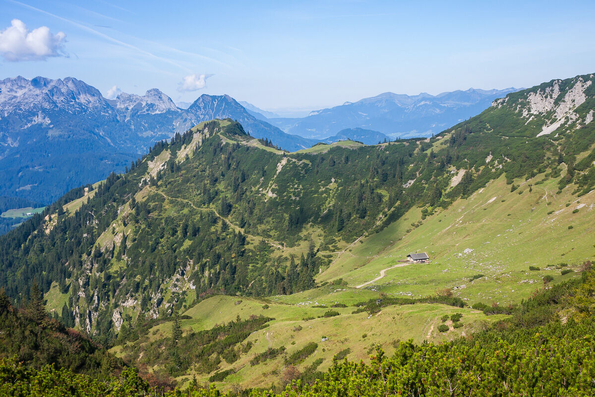


For the return journey, you will follow largely the same route. From Sulzkaralm, first take the forest road back towards Arzbergalm. Unlike on the way up, however, stay on the forest road for the entire return journey. Do not take the narrow hiking trail at the Kirchgasshütte-Aualm junction again; instead, continue downhill along the forest road. This makes navigation on the way back particularly easy. You will pass Arzbergalm again and then continue downhill along the forest road towards the area around Kohlegghof. From there, continue towards Knablhof. At Knablhof, follow the same route as on the way there and continue towards Langegghof. At Langegghof, take the walking path opposite Fritzlehenhof. This path leads you through the idyllic landscape back to Hotel Neubergerhof, where your hike comes to an end.
Please note: The length of the tour can vary considerably depending on your chosen starting point. If you start directly at Hotel Neubergerhof, you will have the additional section via Langegghof, Knablhof and Kohlegghof. Driving by car to the area before the first barrier allows you to shorten this section accordingly.
Sí
Sí
A good backpack is helpful, and on alpine routes, a hat, gloves, a good jacket, and pants are basic equipment. Good waterproof shoes, sunglasses, sun protection, and enough drinks are essential. Flashlight, maps, knife, and a small first aid kit also belong to the essentials.
Available GPS data – like hiking maps – are only an orientation aid, as they can never represent an exact image or the level of detail of a route in reality. Especially at danger spots, the final decision on the further route must always be made based on local conditions.
In case of emergency please call the following emergency numbers:
140 - for alpine emergencies - Austria-wide
112 - Euro emergency GSM emergency service
Take the A10 Tauern Motorway and exit at Eben. Turn left towards Filzmoos. After approximately 7 km, turn off at the junction signposted for Neuberg. Follow the road until you reach the Knablhof junction, where you turn right. At the next junction, turn left. Continue past Kohlegghof until you reach the first barrier. A free parking area is located just before the barrier.
From Ramsau am Dachstein:
At the roundabout, take the exit towards Neuberg and follow the main road for approximately 4 km. At the Neuberg junction, turn right and continue straight along the road. At the Knablhof junction, turn right, then take the next left. Drive past Kohlegghof until you reach the first barrier. A free parking area is located just before the barrier.
Continue by Bus or Taxi: From Eben im Pongau or Radstadt, take Bus 521 to the Neuberg/Reitsteg stop in Filzmoos (journey time approx. 20–30 minutes). From there, continue with the Fidibus shuttle bus to Hotel Neubergerhof. Alternatively, taxis are available at both railway stations. Tip: Bus services are limited, so we recommend checking the current timetable in advance at www.oebb.at.
Fidibus Summer Shuttle: During the summer season, the Fidibus hiking shuttle operates from the Filzmoos Tourist Office to Neuberg, stopping directly at Hotel Neubergerhof. Click here for the timetable.
T1
Plan enough time for a break at the rustic alpine hut. Enjoy the homemade cheese platter and soak up the peaceful mountain scenery around Sulzkaralm.
Infórmate
Siempre en directo con más de 9.500 webcams. bergfex Como usuario Pro, ahora puede ver las webcams correspondientes a muchos tours en la app de tours desde. Esto le permite ver las condiciones actuales directamente.
Rutas populares en los alrededores
-
4,5
Ramsau am Dachstein: Steinerne Jungfrauen
Senderismo 8,11 km -
4,3
Filzmoos: Rötelstein (Rettenstein)
Senderismo 9,50 km -
4,8
Werfenweng Mountainbikerunde Söldenhütte
medioMountainbike 18,8 km -
4,8
Alrededor del Gosaukamm
medioSenderismo 20,9 km -
4,7
Tor-Wanderung
pesadoSenderismo 14,2 km -
4,7
Alrededor del lago Gosau
luzSenderismo 4,43 km -
4,5
Adamekhütte vom Vorderen Gosausee
medioSenderismo 23,2 km -
4,7
Ramsau am Dachstein: Bergstation Dachstein-Seilbahn - Guttenberghaus - Ramsau
medioSenderismo 14,4 km -
4,8
Hoher Dachstein
medioExcursión de alta montaña 6,49 km -
4,6
Sulzenschneid
medioSenderismo 9,51 km
Senderismo y rastreo


No se pierda las ofertas y la inspiración para sus próximas vacaciones
Su dirección de correo electrónico se ha añadido a la lista de correo.





