


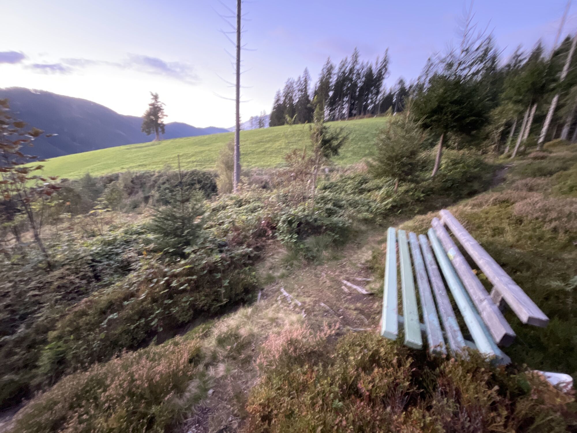
Circuito Hallmoos
Desde el portal de experiencias en Filzmoos, tome la carretera estatal hacia Ramsau, después del cuartel de bomberos o antes de la panadería "Sieberer", gire a la izquierda y suba por el camino de servicio...
Desde el portal de experiencias en Filzmoos, tome la carretera estatal hacia Ramsau, después del cuartel de bomberos o antes de la panadería "Sieberer", gire a la izquierda y suba por el camino de servicio Hallmoos hasta la granja Hallmooshof. A la izquierda, pasando la casa, el camino sube un poco más empinado. En parte atraviesa el bosque hasta llegar al cruce del sendero Filzmoos-Hachau-Bachlalm. Camine cuesta abajo hacia la izquierda y siga el sendero marcado. El último tramo es a lo largo de la calle asfaltada hacia el centro del pueblo.

From the adventure portal in Filzmoos on the state road towards Ramsau, turn left after the fire station or before the bakery "Sieberer" and go up the Hallmoos freight road to the Hallmooshof. To the left, past the house, the path leads a little steeper uphill. Partly it goes through the forest until you reach the intersection of the Filzmoos-Hachau-Bachlalm hiking trail. You hike down to the left and follow the marked hiking trail. The last part goes along the paved road into the village center.
In case of thunderstorms: Avoid summits, ridgelines, and fixed-rope sections at all costs.
A good backpack is helpful, and for routes in alpine terrain, a hat, gloves, a good jacket, and pants are essential basic equipment. Sturdy, waterproof footwear, sunglasses, sun protection, and plenty of fluids are also crucial. A flashlight, map material, knife, and a small first aid kit should always be part of your gear.
Available GPS data – like hiking maps – are only intended as orientation aids, as they can never fully represent the exact layout or detail of a trail in reality. Especially in potentially dangerous areas, it is essential to make decisions based on the actual conditions on site regarding whether and how to proceed.
In case of emergency, please call:
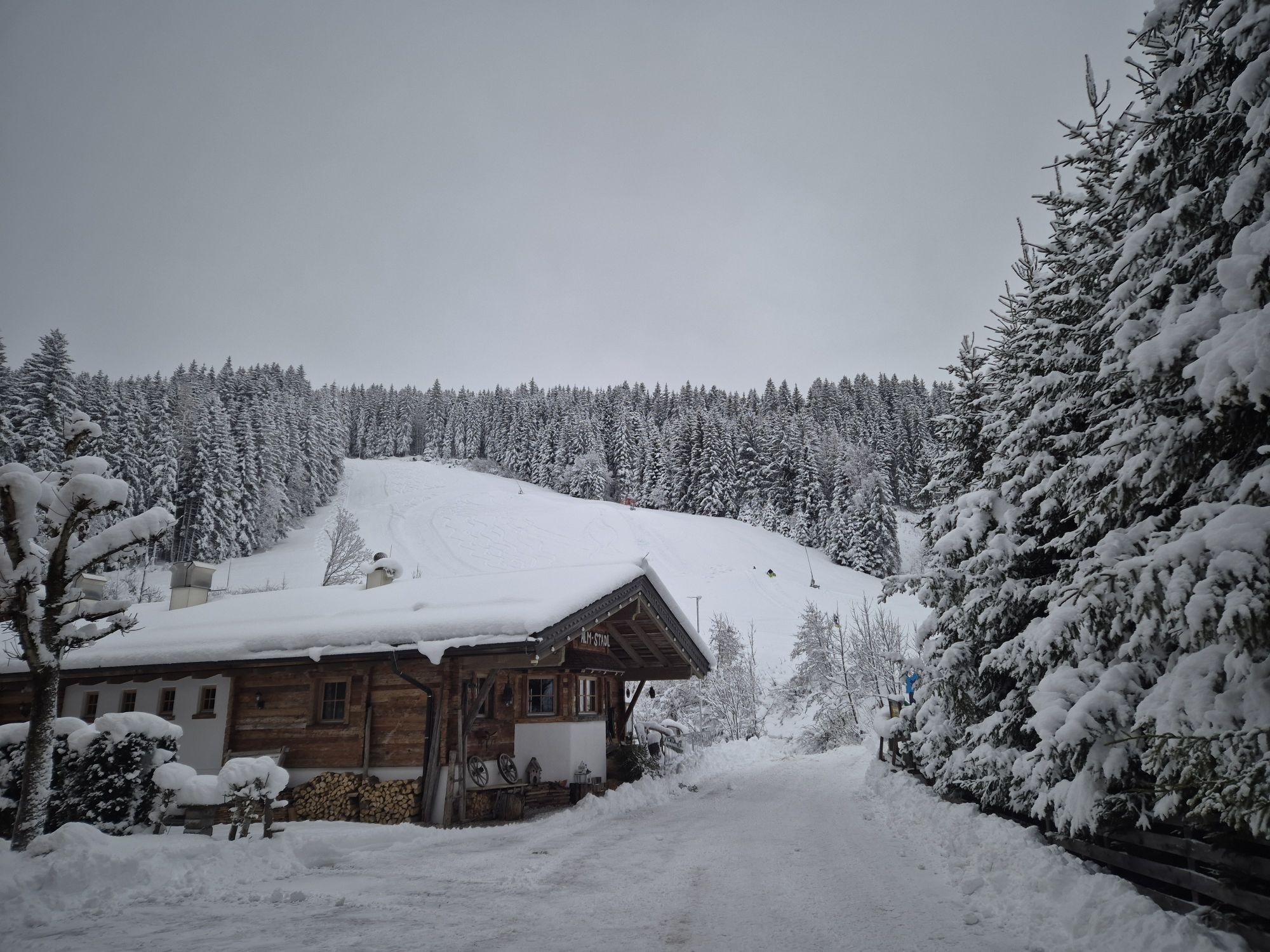
140 – for alpine emergencies – valid throughout Austria 112 – European emergency number / GSM emergency serviceComing from Ramsau am Dachstein: At the roundabout, take the exit towards Neuberg – shortly after the gas station, turn left. There is a public paid parking lot opposite the gas station
By Bus or Taxi: From Eben im Pongau or Radstadt, take bus line 521 directly to Filzmoos (approx. 20–30 minutes). Taxis are also available at the station if you prefer a direct ride.Tip: Buses are not very frequent, so it's best to check the schedule in advance at www.oebb.at
With the Fidibus Summer: From Hotel Neubergerhof, the Fidibus Summer (hiking bus) takes you from Neuberg to Filzmoos, stopping at the “Ortsmitte” (village center) bus stop. Click here for the timetable.
There is a public paid parking lot opposite the gas station.
La ruta inversa comienza en Intersport Flory - Buschhäusl.
Rutas populares en los alrededores
-
4,3
Filzmoos: Rötelstein (Rettenstein)
Senderismo 9,50 km -
4,8
Planai Runde | 304
medioMountainbike 34,1 km -
4,8
4-Jahreszeiten Wanderweg
medioSenderismo de invierno 5,94 km -
4,7
Alrededor del Gosaukamm
medioSenderismo 20,9 km -
4,7
Alrededor del lago Gosau
luzSenderismo 4,43 km -
4,7
Tor-Wanderung
pesadoSenderismo 14,2 km -
4,6
Ruta de esquí Lackenkogel
medioEsquí de travesía 7,82 km -
4,5
Adamekhütte vom Vorderen Gosausee
medioSenderismo 23,2 km -
4,4
Ramsau am Dachstein: Steinerne Jungfrauen
Senderismo 8,11 km -
4,9
Das Trippel in der Silberkarklamm
medioVía ferrata 6,70 km

Senderismo y rastreo


No se pierda las ofertas y la inspiración para sus próximas vacaciones
Su dirección de correo electrónico se ha añadido a la lista de correo.