




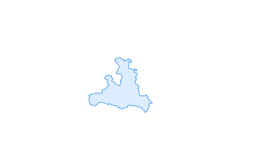

Saalachtal High Trail - 4th Hiking day

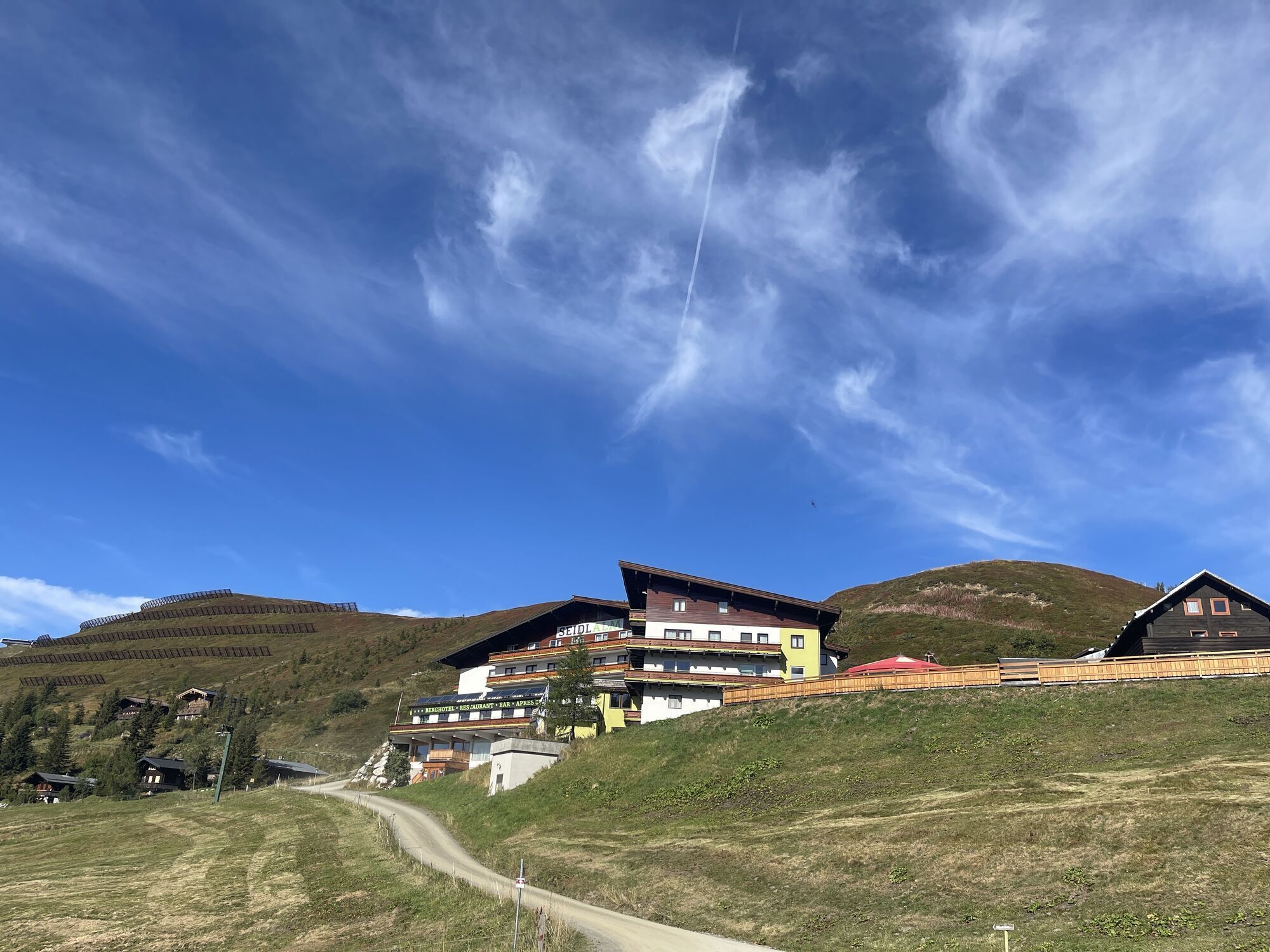
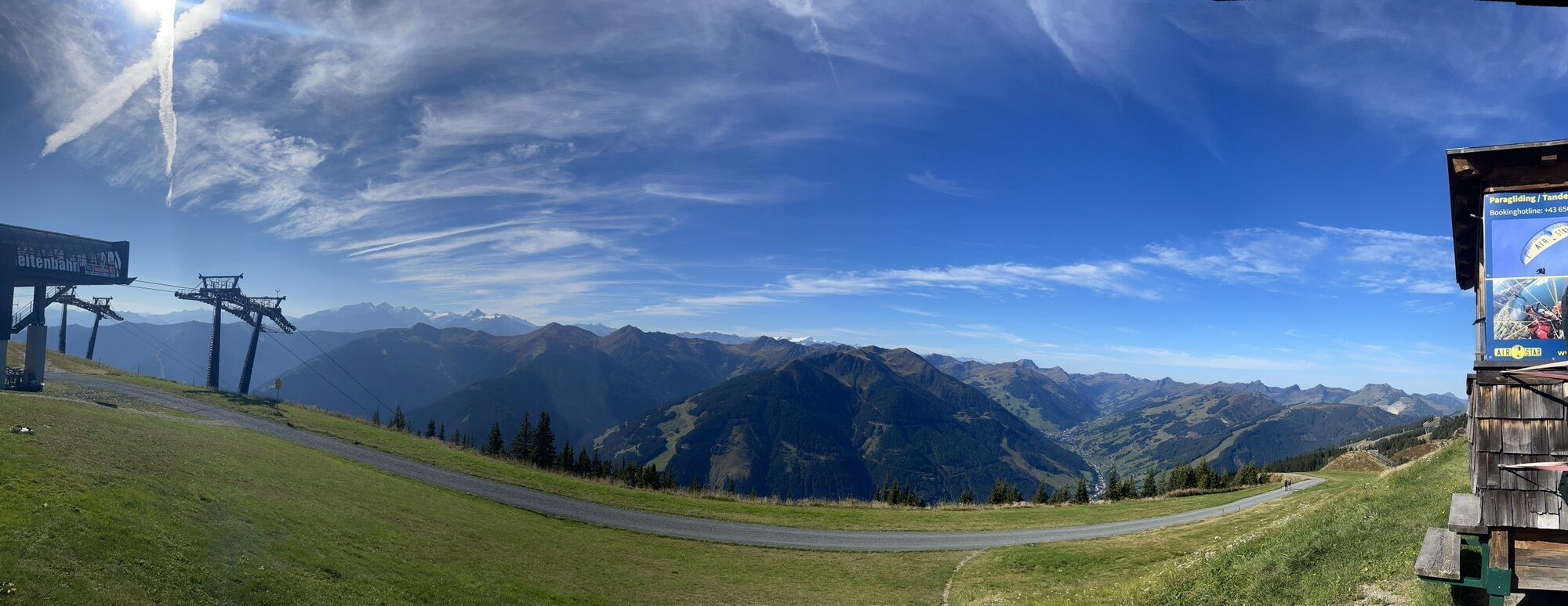
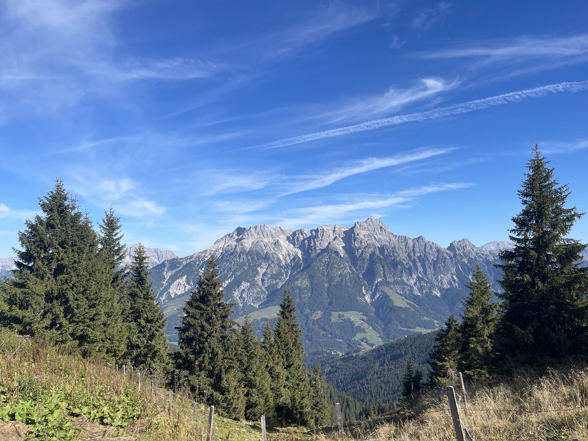
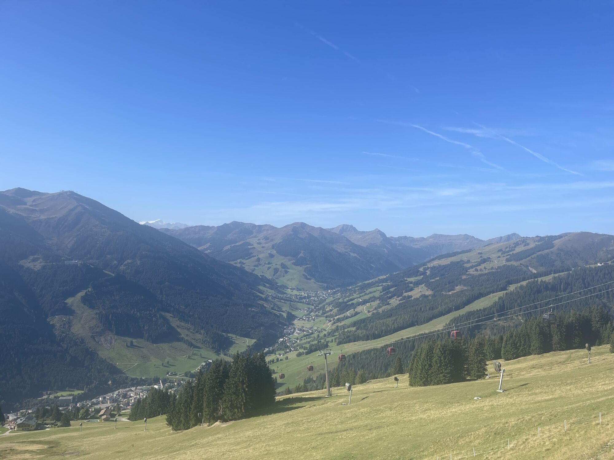

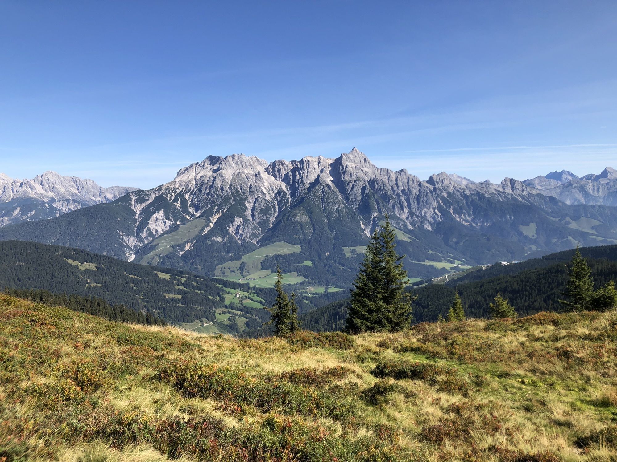
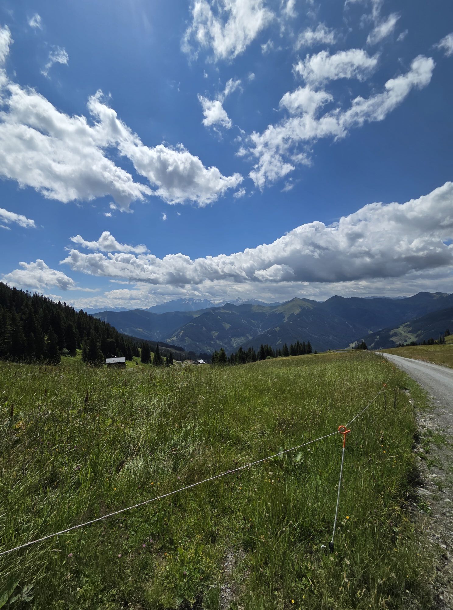
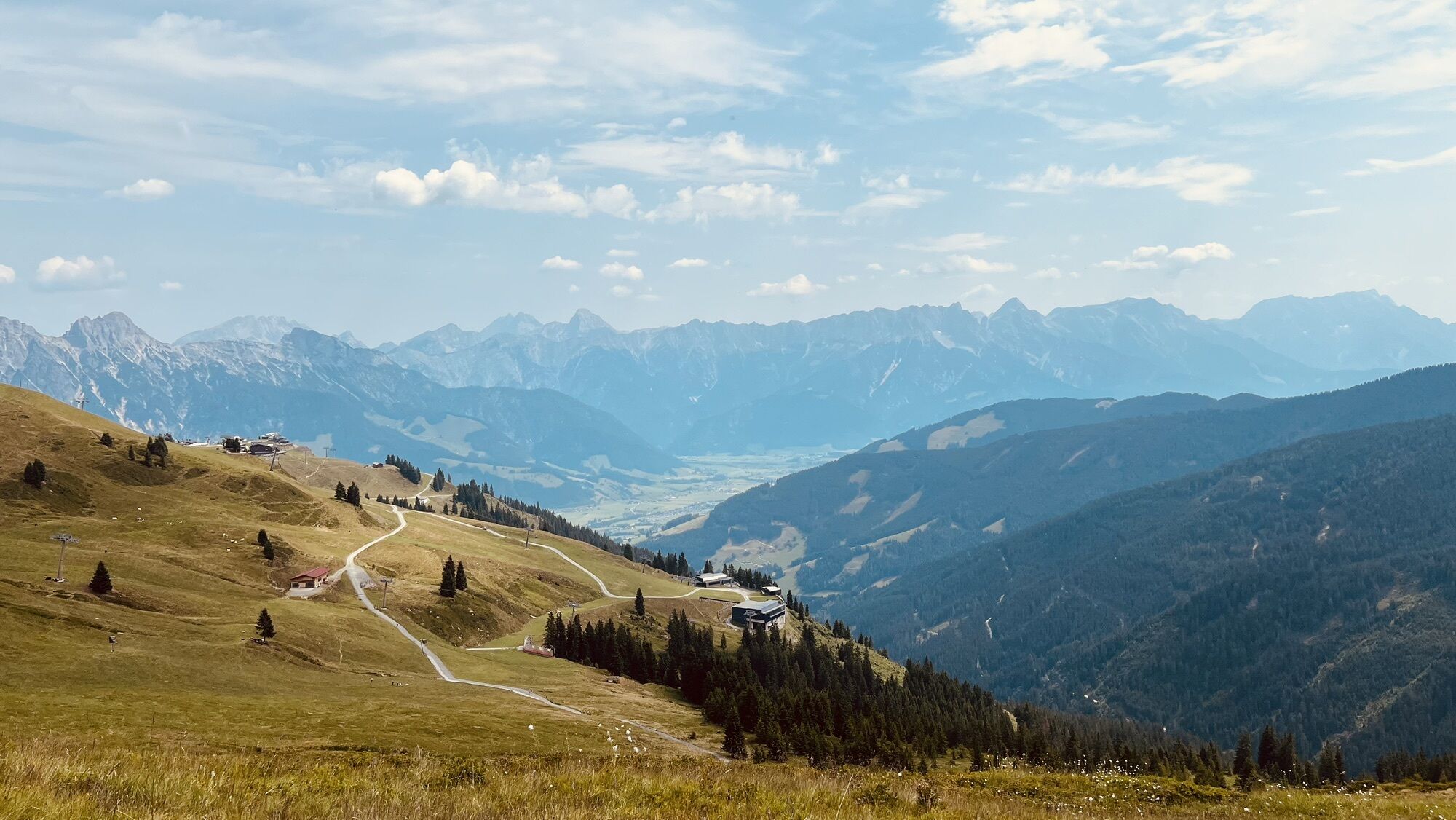
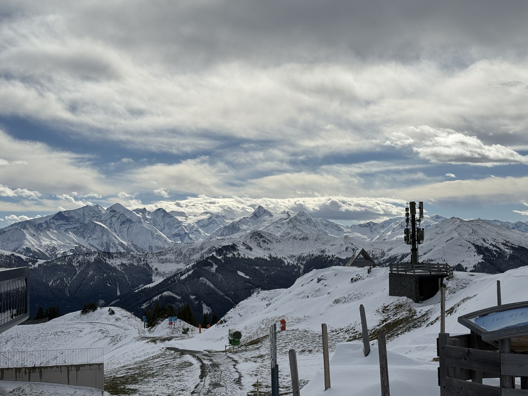
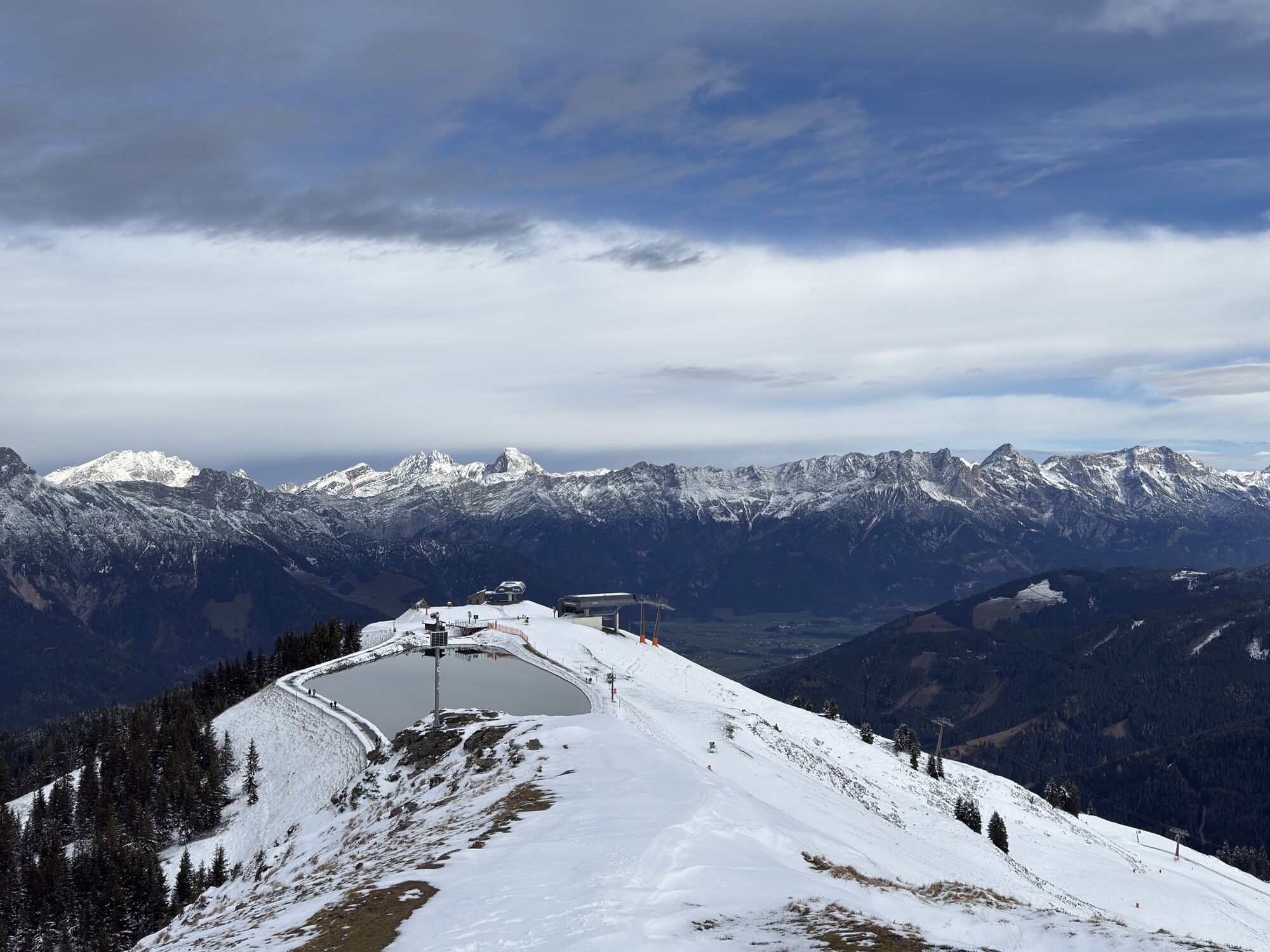
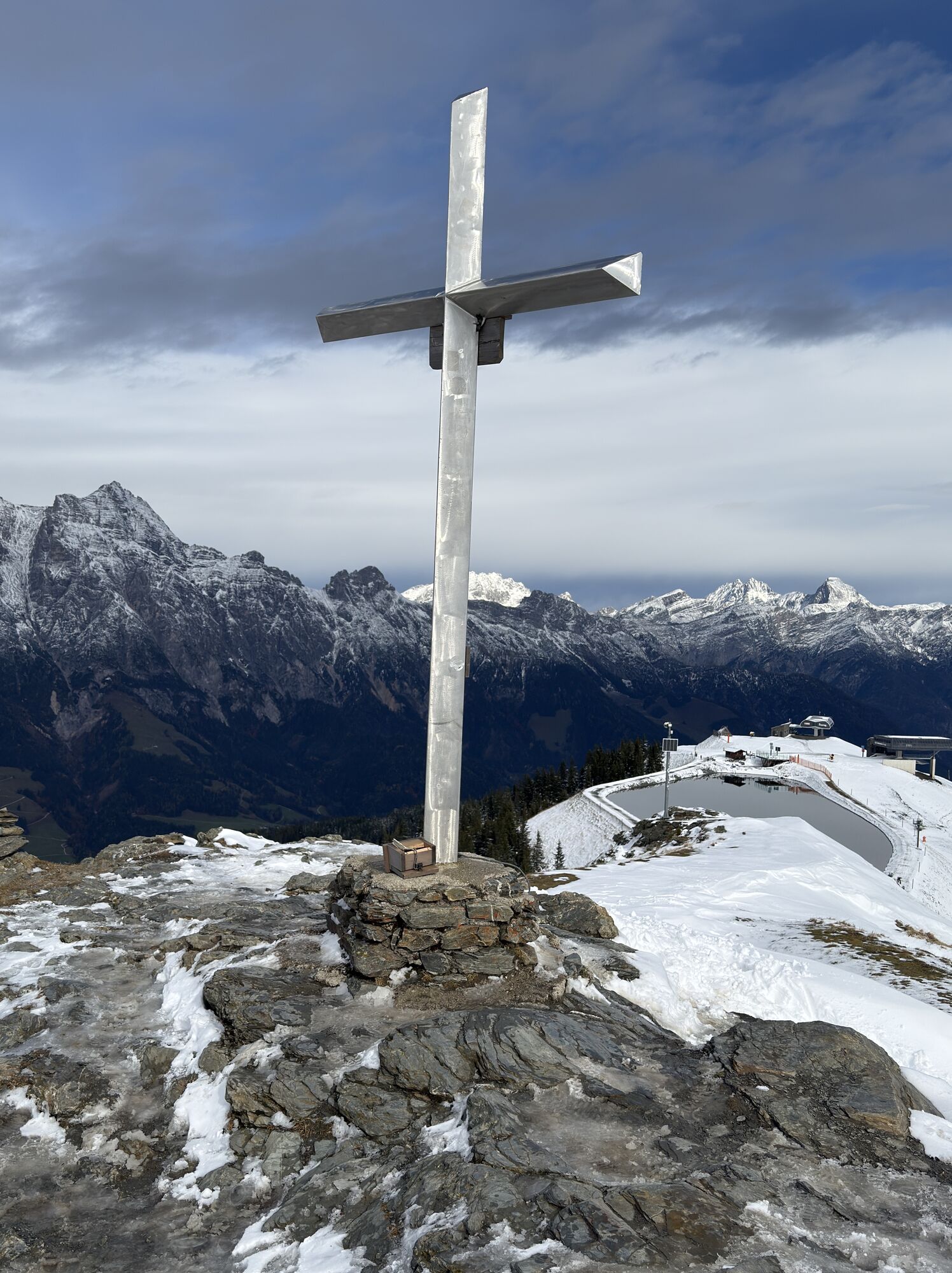
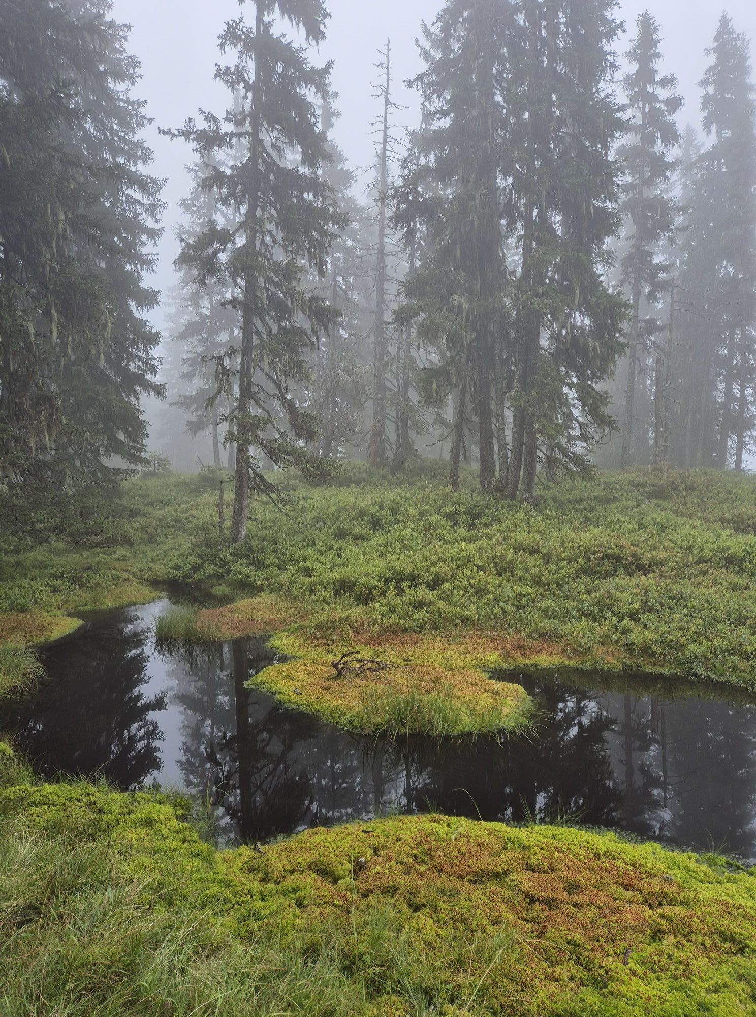


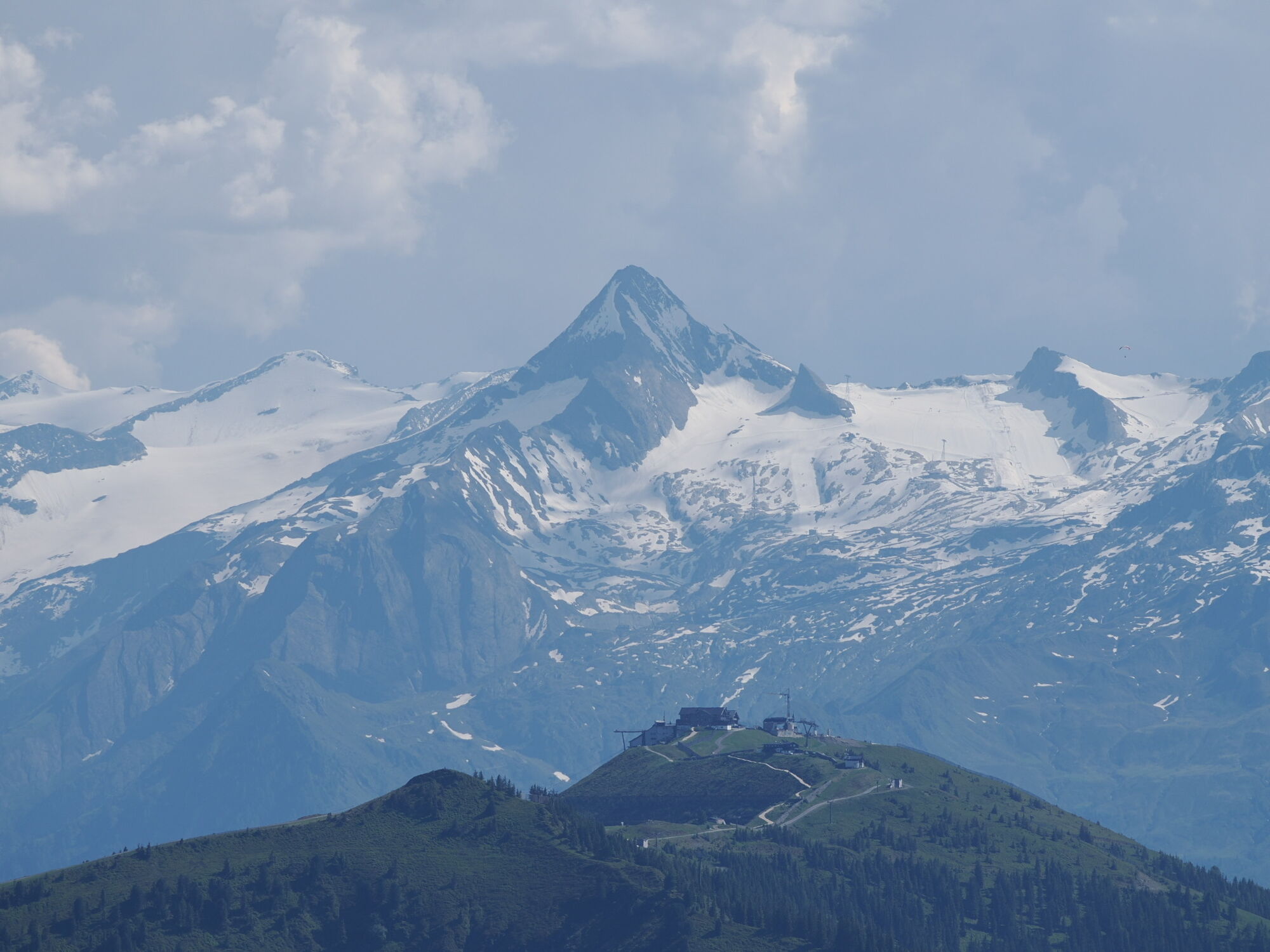
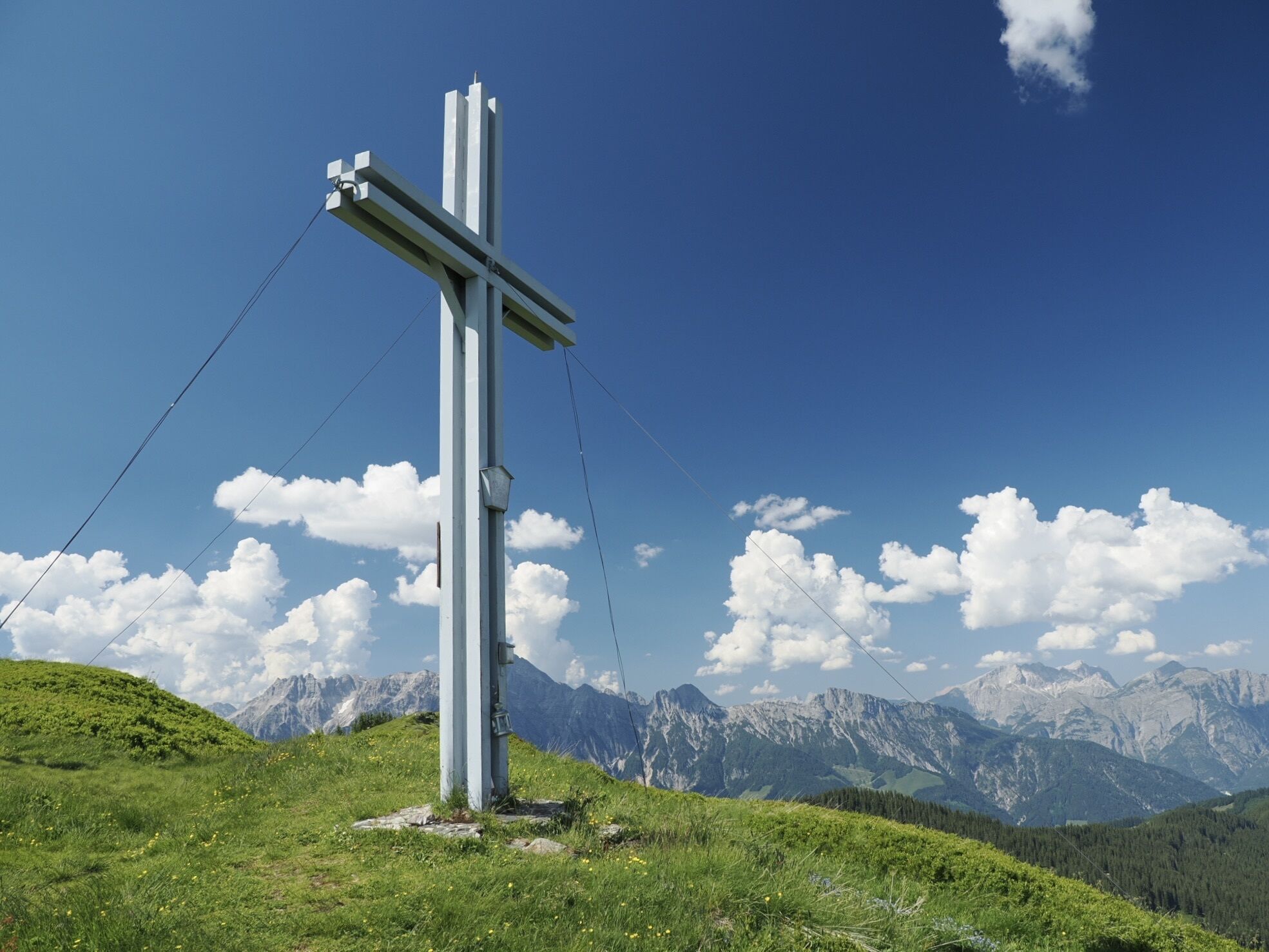
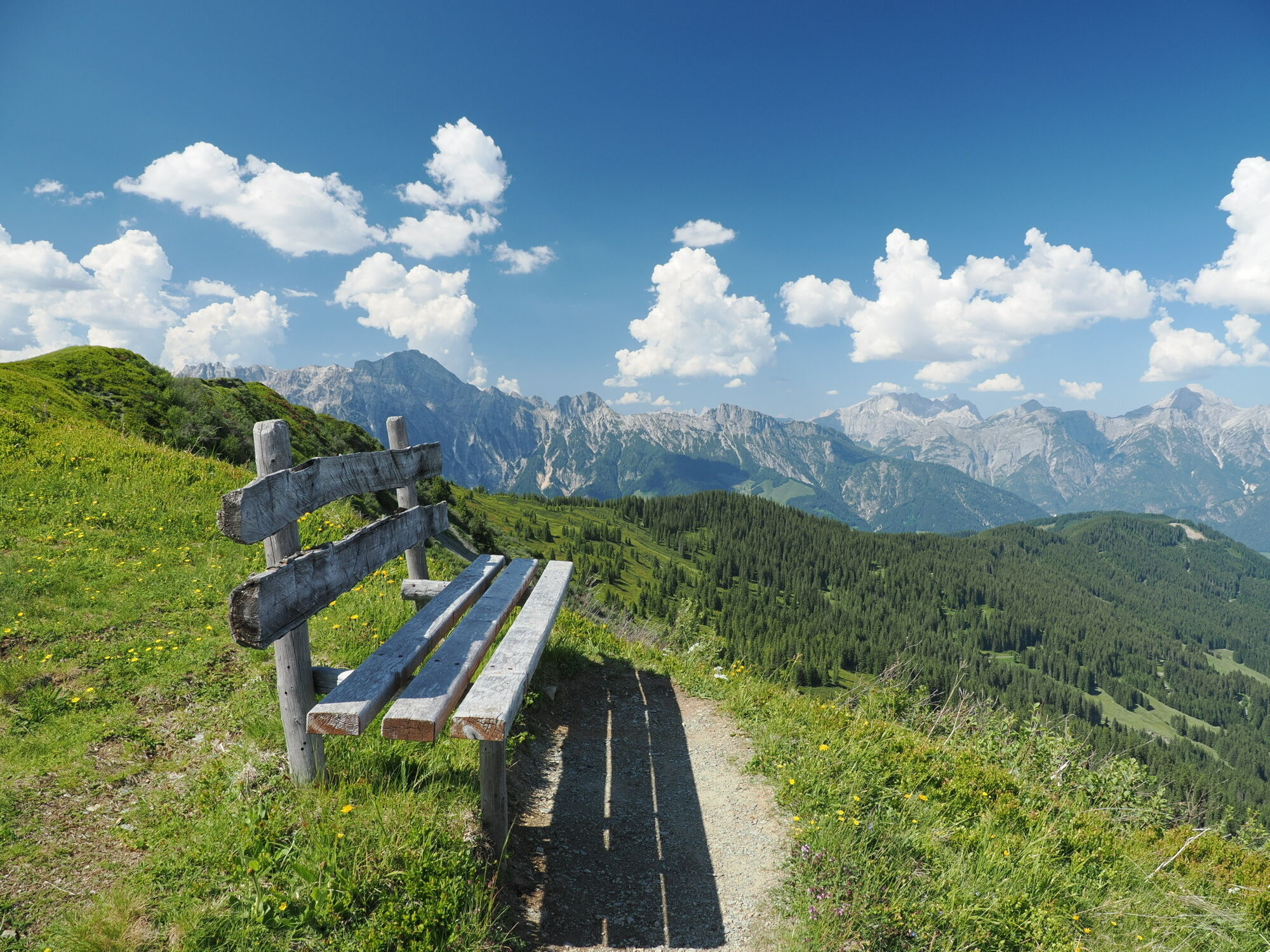
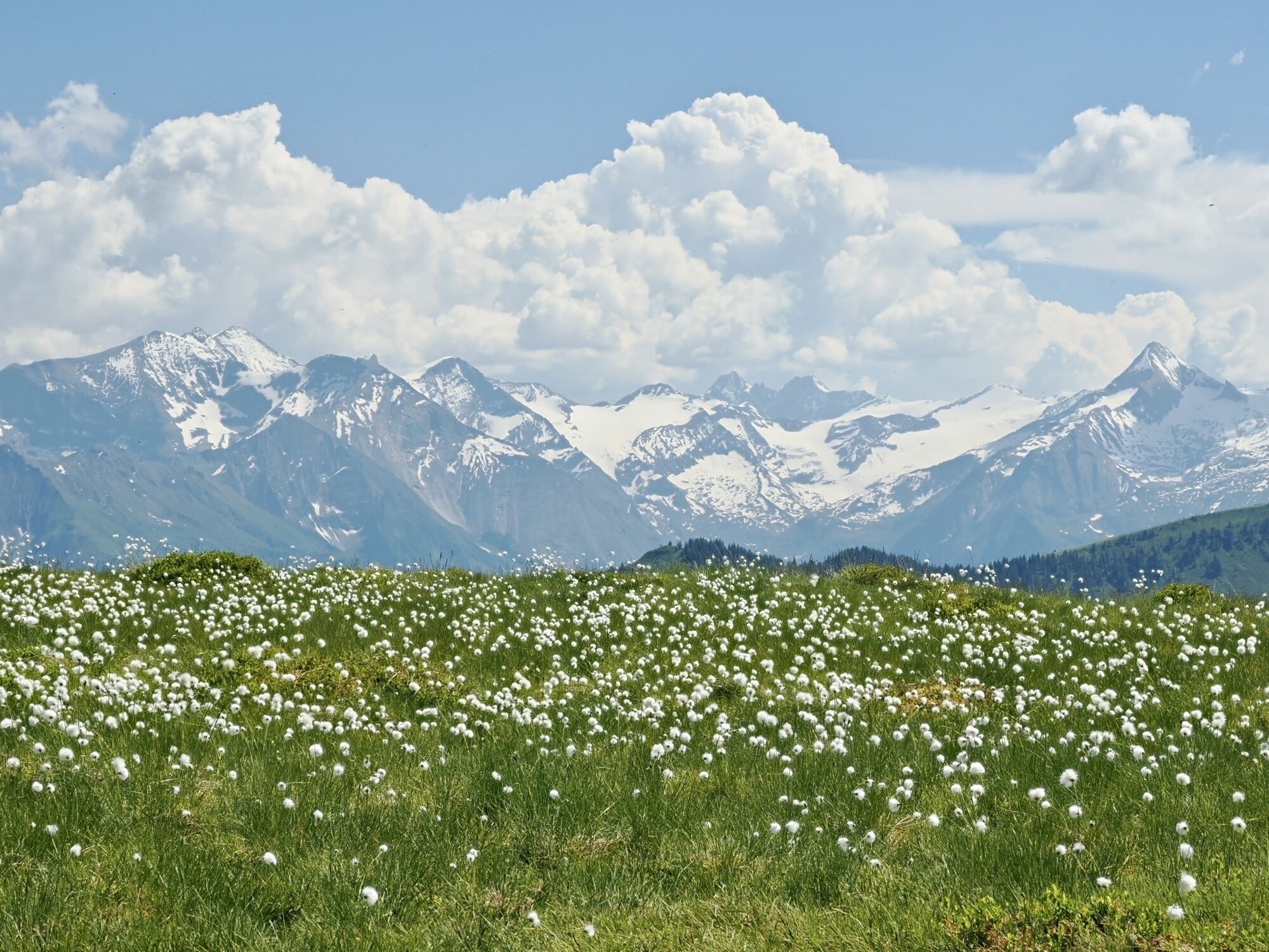
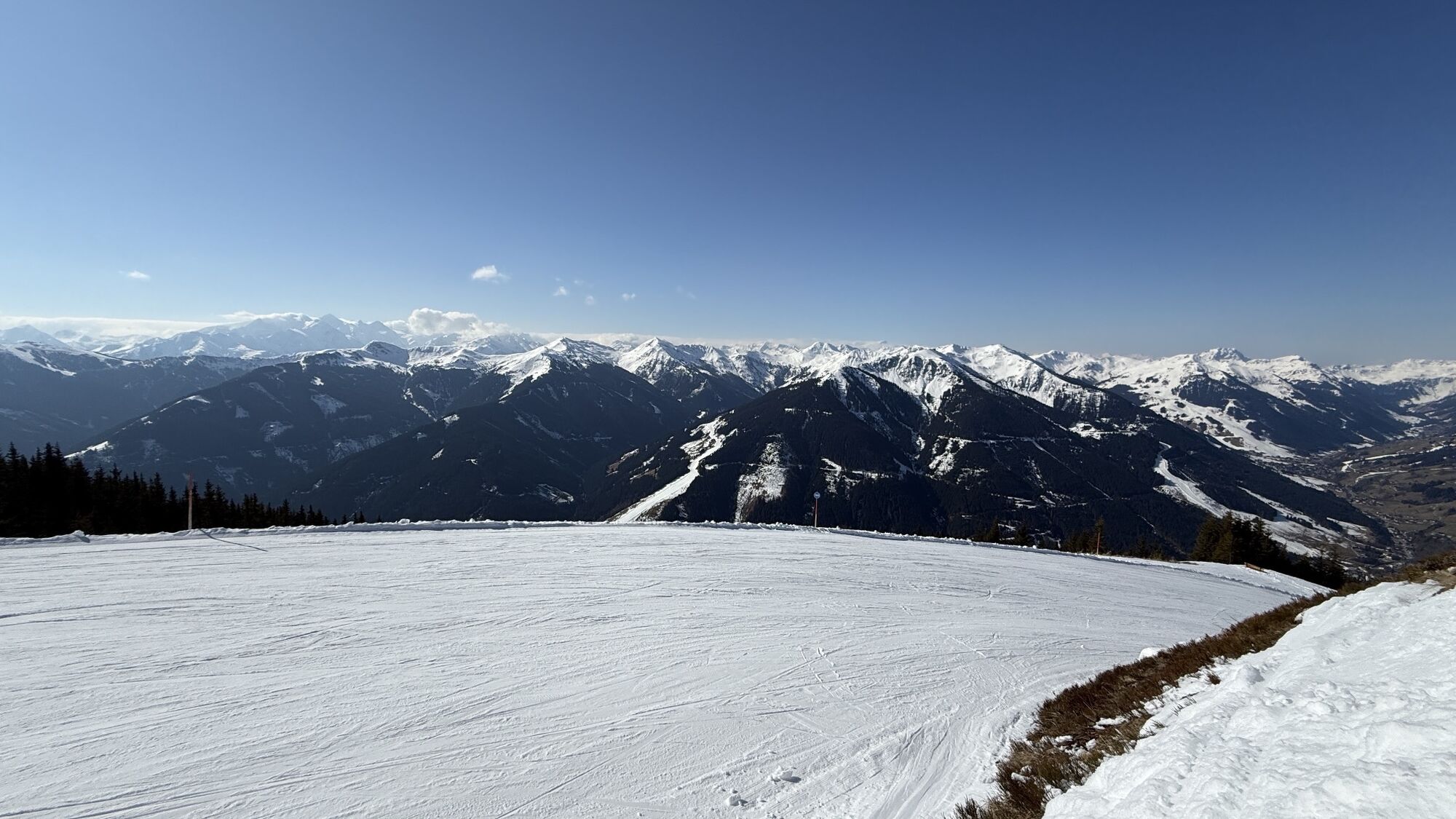
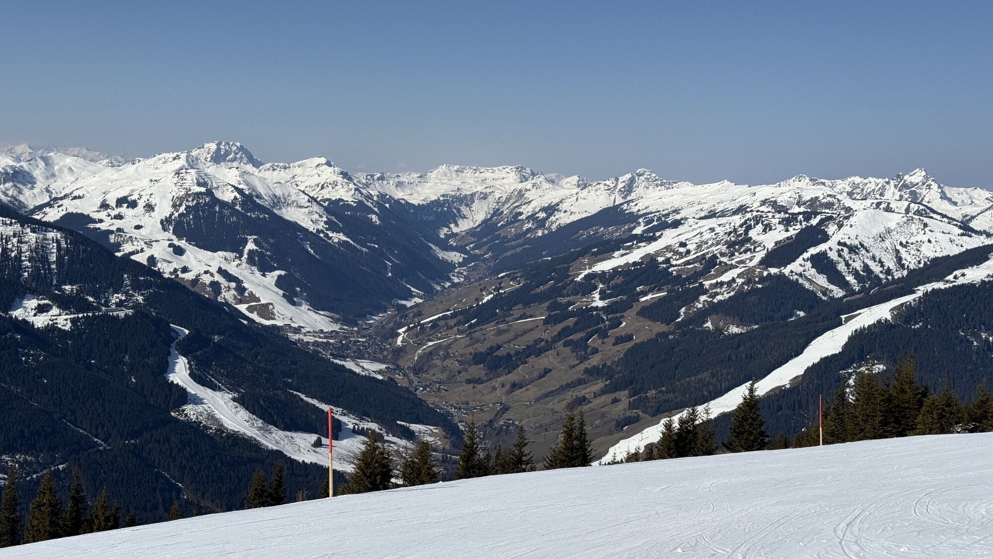
Saalbach (1003 m)
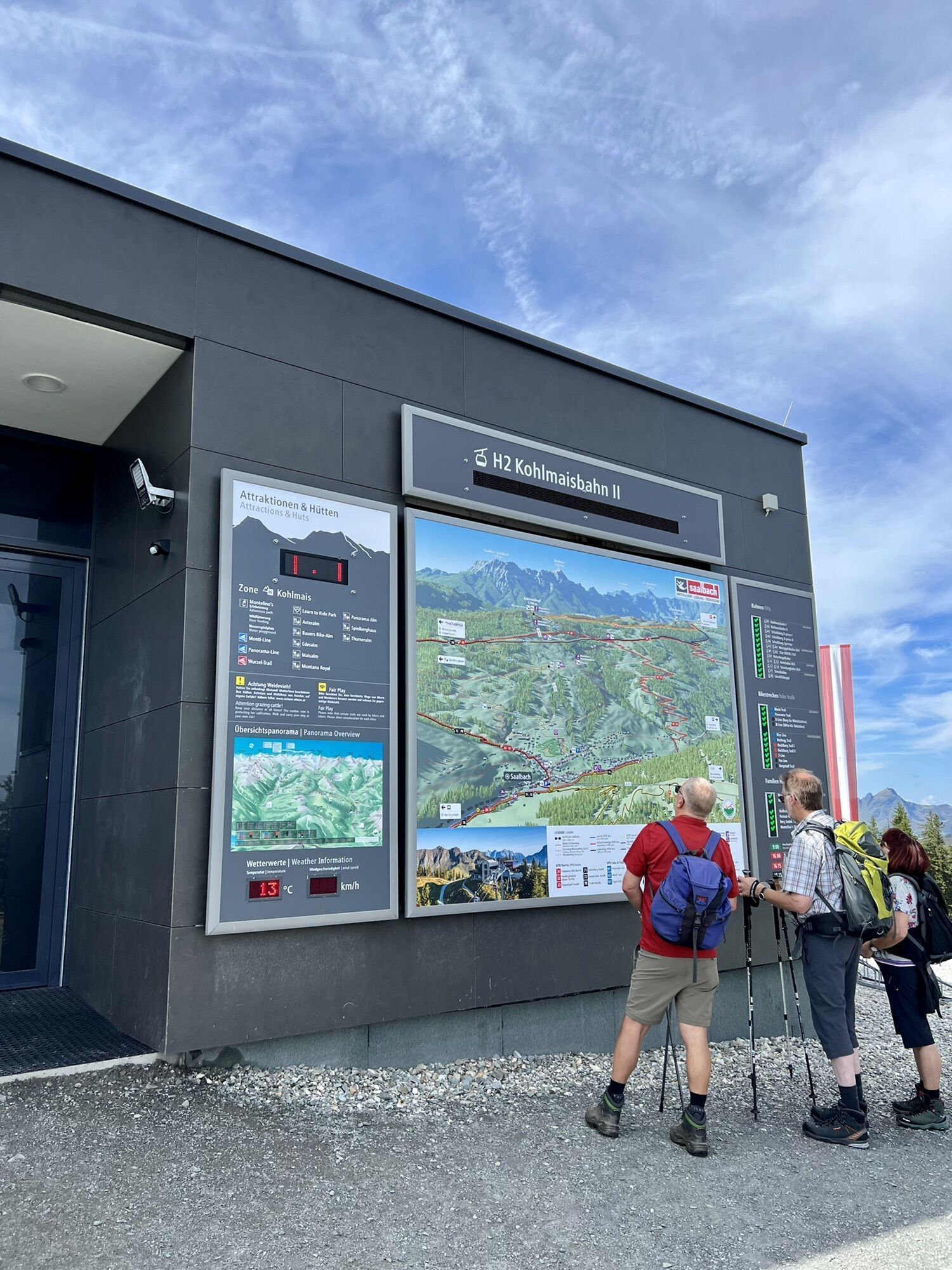
Kohlmais Gipfelbahn cable car
Ascent to the Kohlmaiskopf (1774 m)
Wildenkarhütte
Geierkogel (Unterstandshütte)
Lochalmköpfl
Sausteige (1912 m)
Jahnhütte (1592 m)
Gasthof Stiegernigg
Saalbach (1003 m)
Kohlmais Gipfelbahn cable car
Ascent to the Kohlmaiskopf (1774 m)
Wildenkarhütte
Geierkogel (Unterstandshütte)
Lochalmköpfl
Sausteige (1912 m)
Jahnhütte (1592 m)
Gasthof Stiegernigg



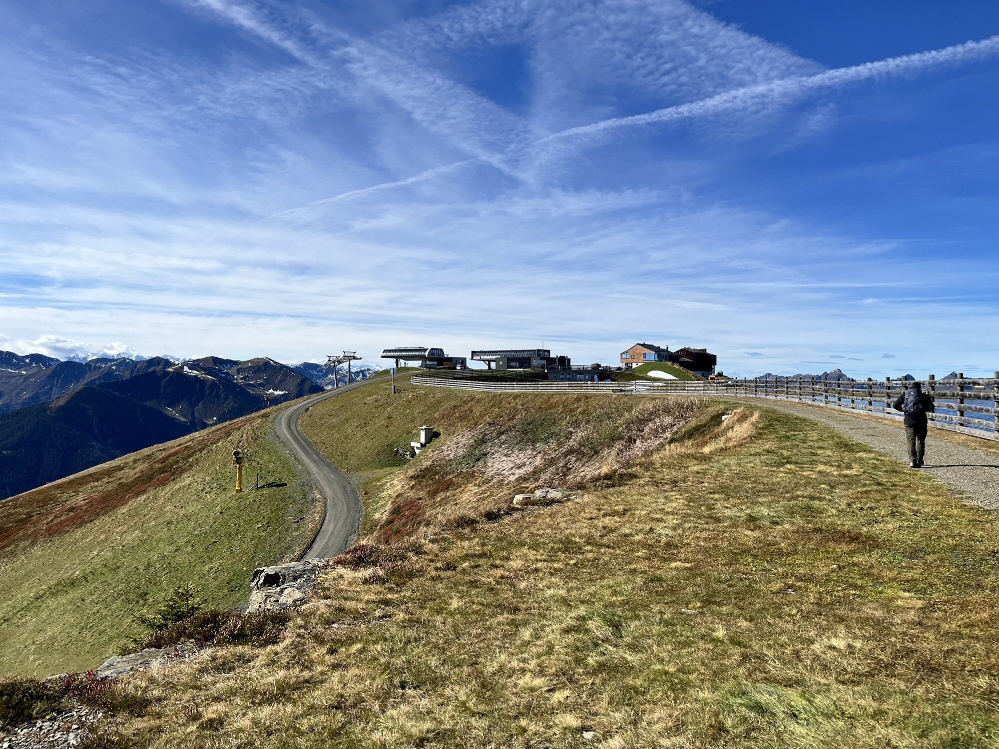
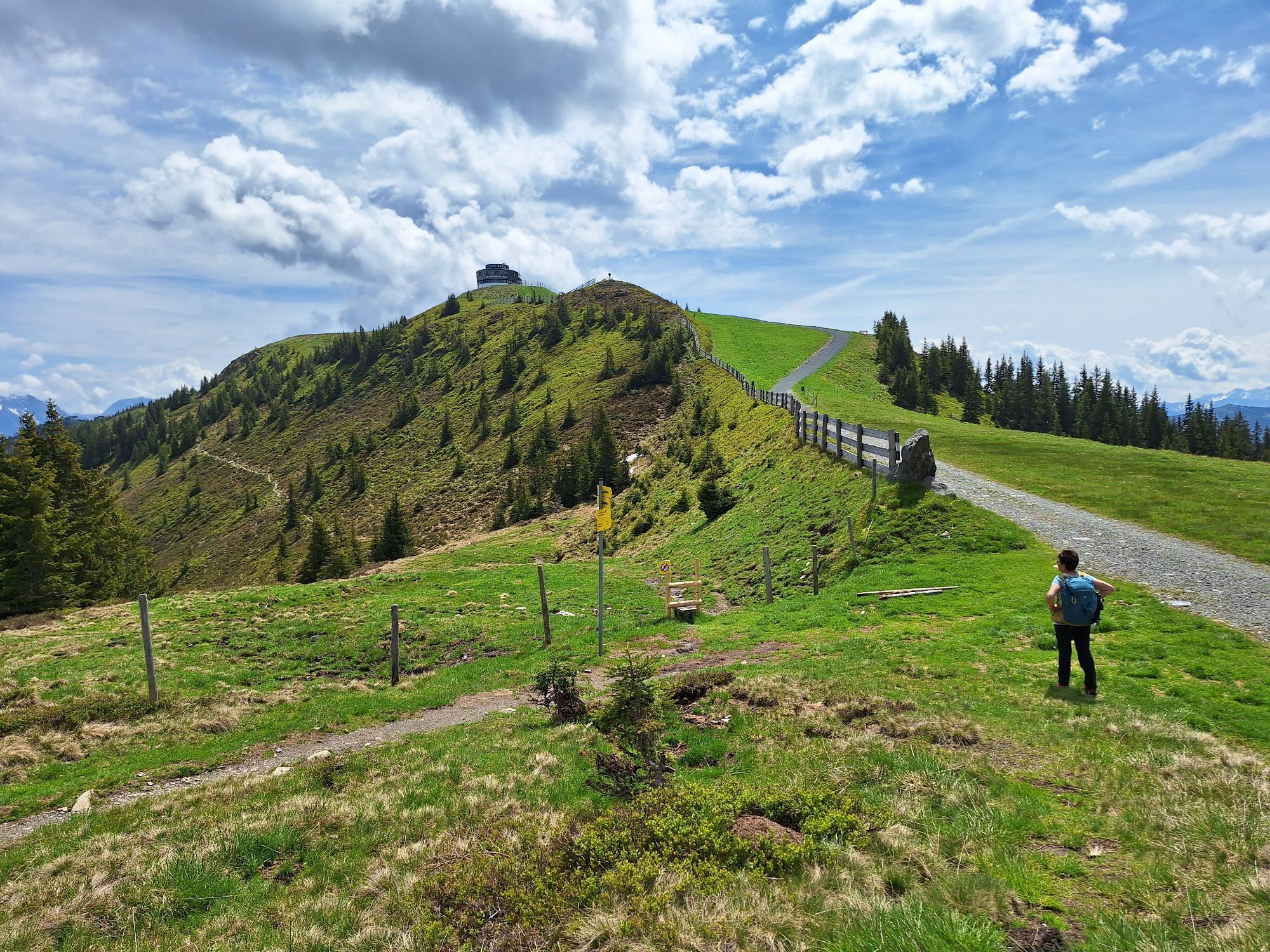
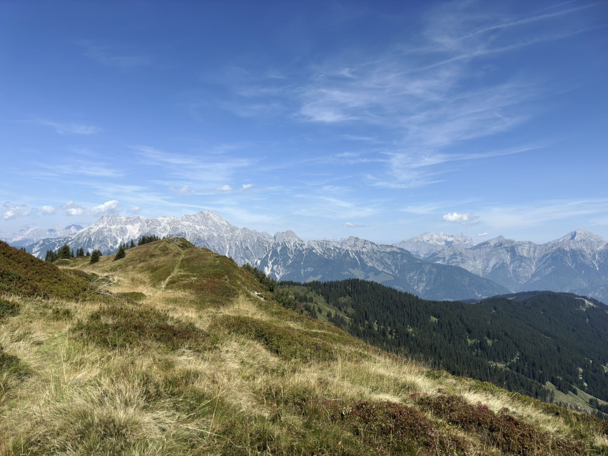
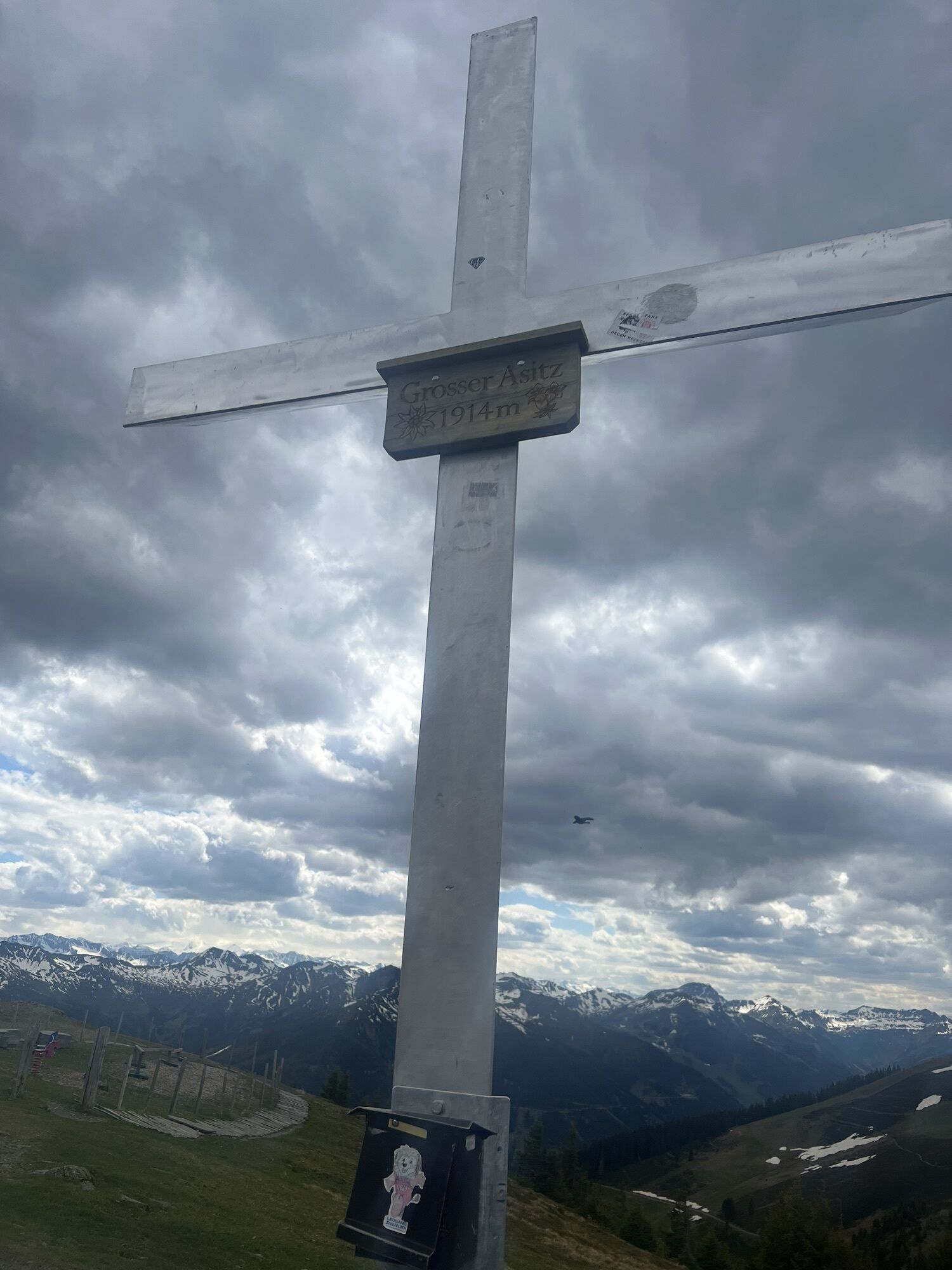
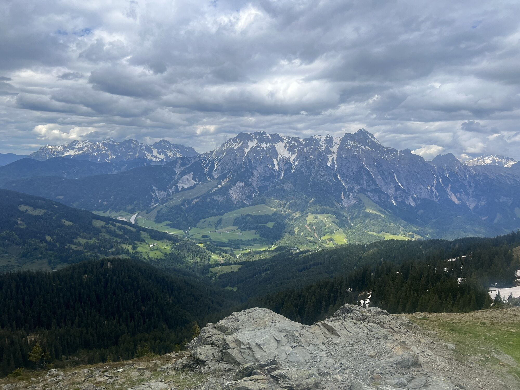
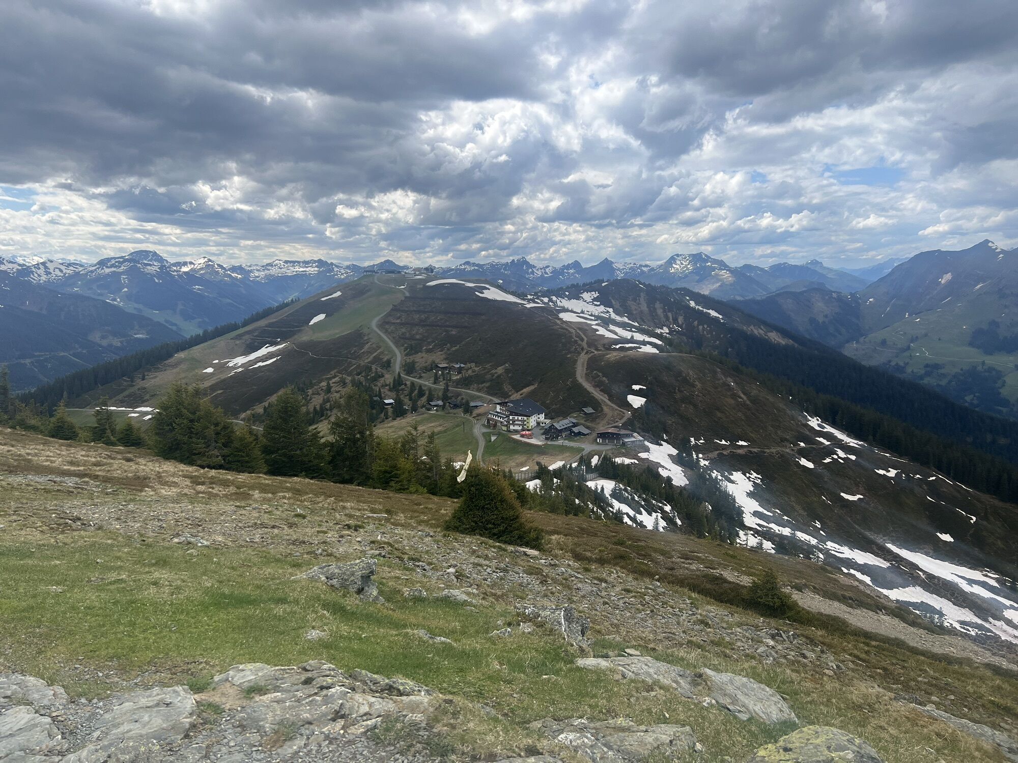
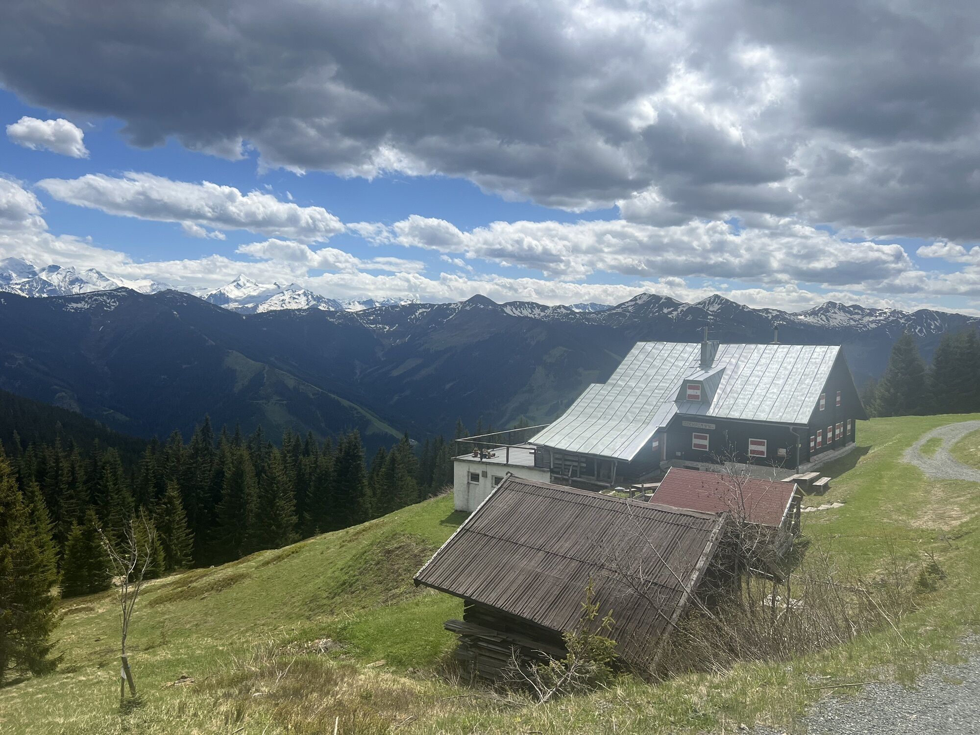
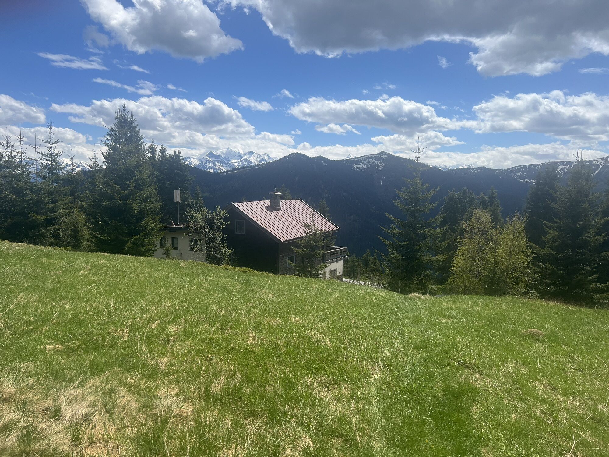
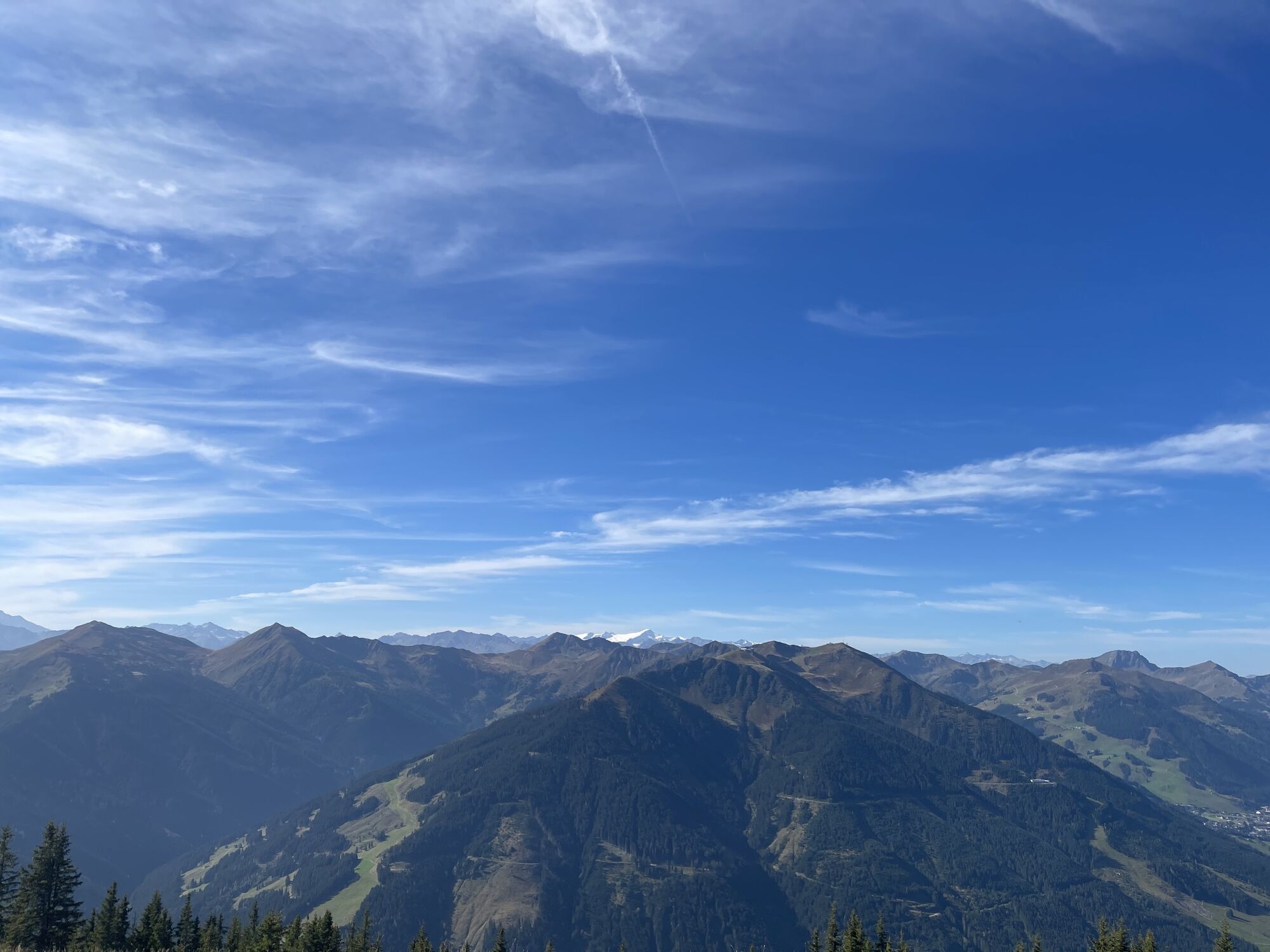
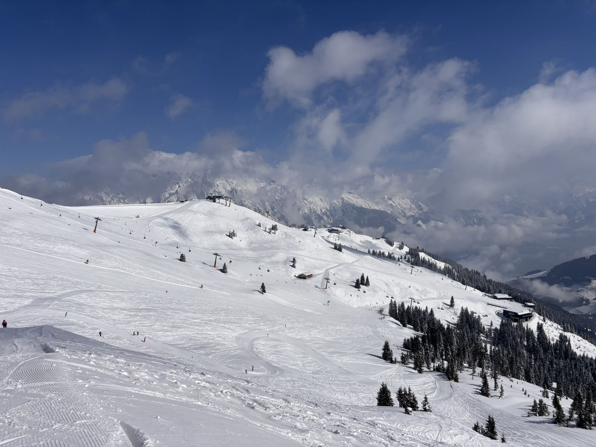
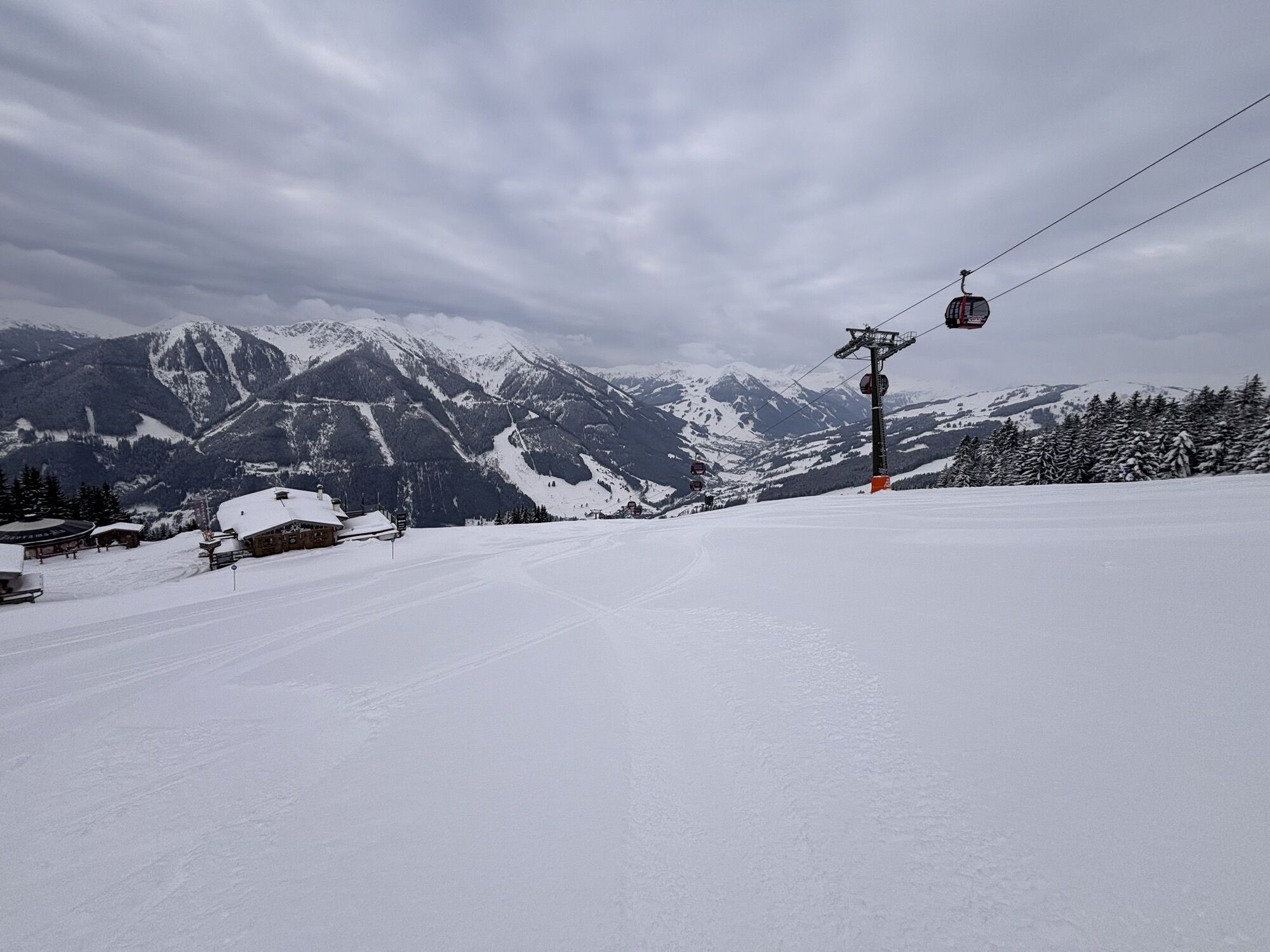
Ascent with the Kohlmaisgipfelbahn to the Kohlmaiskopf. From the mountain station, head to the Schönleitenhütte. Follow the signs for the Saalachtaler Höhenweg trail to the Asitzkopf and the Geierkogel. Continue to the Lochalmköpfl to the Sausteige and Jahnhütte. Downhill, follow the signs to Viehhofen and Gasthof Stiegernigg.
climbing boots, map of trails, headdress, first-aid equipment, cagoule, sun cream, beverage / food, binoculars
European Emergency Number: 112
Austrian Mountain Rescue Service: 140
Please note the operating hours of the gondolas and the opening hours of the alpine huts!
Please take water with you, because during the hiking there is no possibility to fill up!
Webcams del recorrido
-
Schmittenhöhe
-
Schattberg - West
-
Asitz Gipfel
-
Berghotel Seidl-Alm
-
Schattberg Westgipfel
-
Hinterglemm Dorf
-
Asitz Mittelstation
-
Kohlmais Tal
-
Sonnkogel
-
Schmittenhöhe
-
Asitz Talstation
-
Schmittenhöhe
-
Schmittenhöhe
-
Leogang
-
Hinterglemm - Saalbach
-
Großer Asitz / Gipfelkreuz
-
Leogang Schanteilift
-
Saalbach-Hinterglemm - Schattberg Ost
-
Saalbach-Hinterglemm - Wildenkarkogel
-
Saalbach - Hotel Alpinresort
-
Zwölferkogel
-
Wildenkarkogel
-
Talstation Asitzbahn
-
Maishofen Sausteige
-
Maishofen - Schloss Kammer
-
Saalbach-Hinterglemm - Kohlmais
-
Kohlmaiskopf
-
Leogang - Grosser Asitz
-
Maishofen Dorfplatz
-
zellamseeXpress
-
Wohlfühlhotel-Johanneshof
-
Eberharthof - Saalbach-Hinterglemm
-
Schmittenhöhe
-
Schmittenhöhe
Infórmate
Siempre en directo con más de 9.500 webcams. bergfex Como usuario Pro, ahora puede ver las webcams correspondientes a muchos tours en la app de tours desde. Esto le permite ver las condiciones actuales directamente.
Rutas populares en los alrededores
-
4,4
Maria Alm - Riemannhaus
Senderismo 3,99 km -
4,6
Steinalm
luzSenderismo 2,71 km -
4,3
Schwalbenwand Nr. 80, 81, 82
medioSenderismo 13,0 km -
4,4
Cabaña Peter-Wiechenthaler
medioSenderismo 4,32 km -
4,9
Breithorn
medioSenderismo 10,0 km -
4,5
Seisenbergklamm
luzSenderismo 2,41 km -
4,2
Maurerkogel (Top)
Senderismo 10,5 km -
4,2
Passauer Hütte
pesadoSenderismo 4,14 km -
4,6
MTB Tour Ramseiden-Round (Tour 1)
medioMountainbike 18,9 km -
4,5
Birnbachloch Leogang, Österreich
medioSenderismo 5,18 km
Senderismo y rastreo


No se pierda las ofertas y la inspiración para sus próximas vacaciones
Su dirección de correo electrónico se ha añadido a la lista de correo.





