






Saalachtal Tour - 2nd Day - Variation B
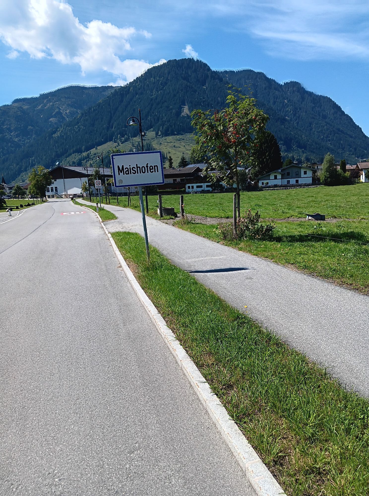
Maishofen
Schloss Kammer (rest point)
Gerling
Hof
Almdorf
Maria Alm

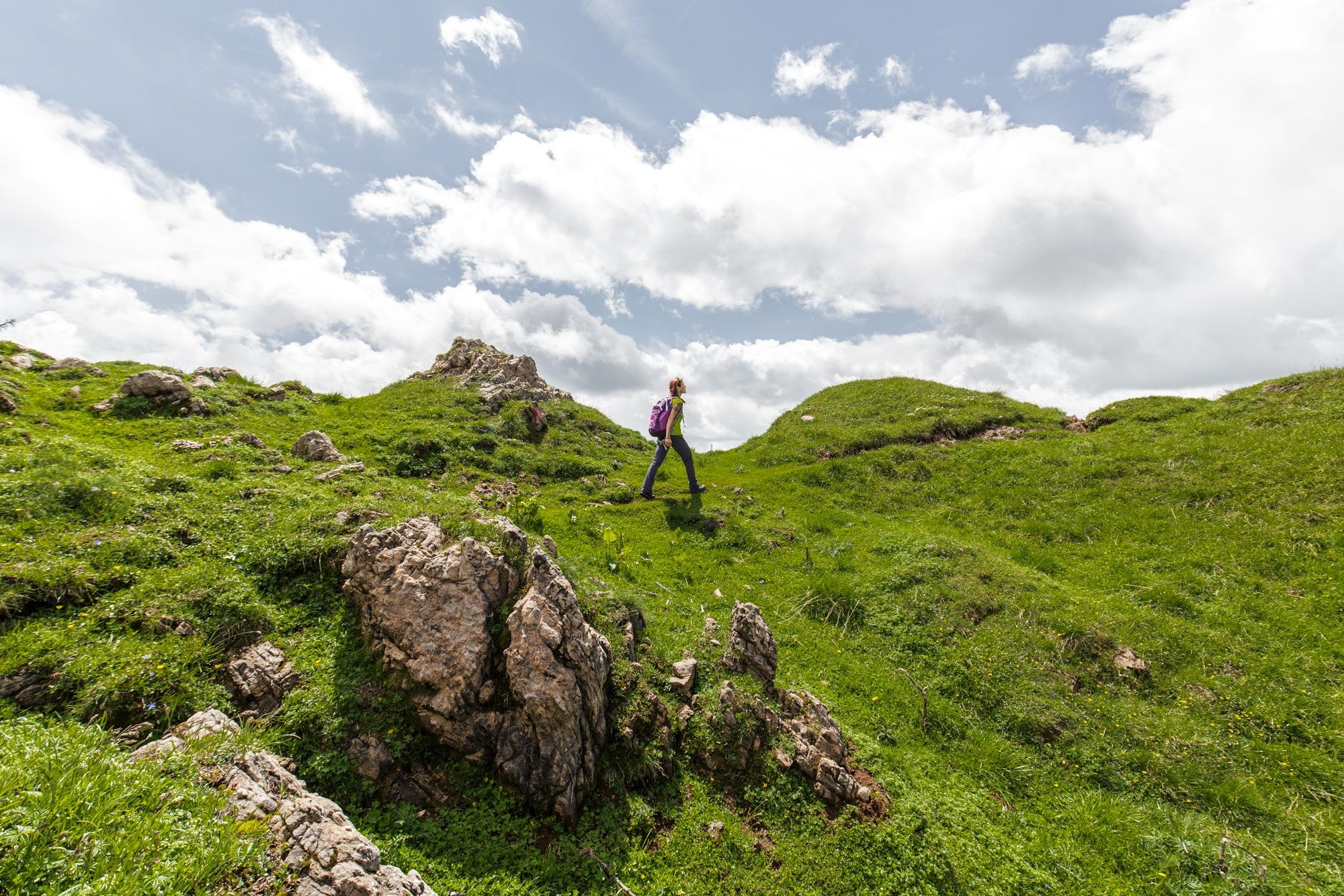

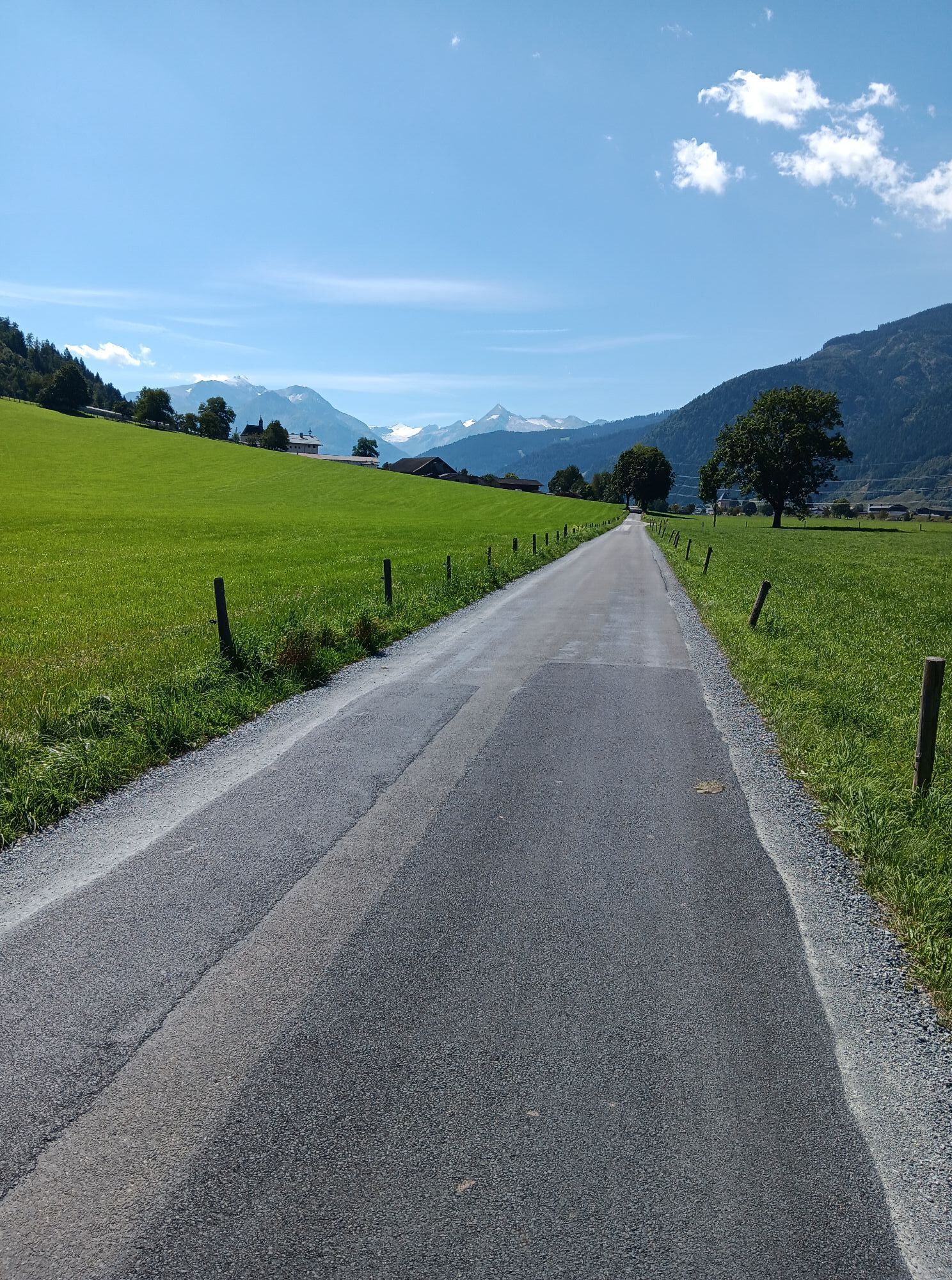
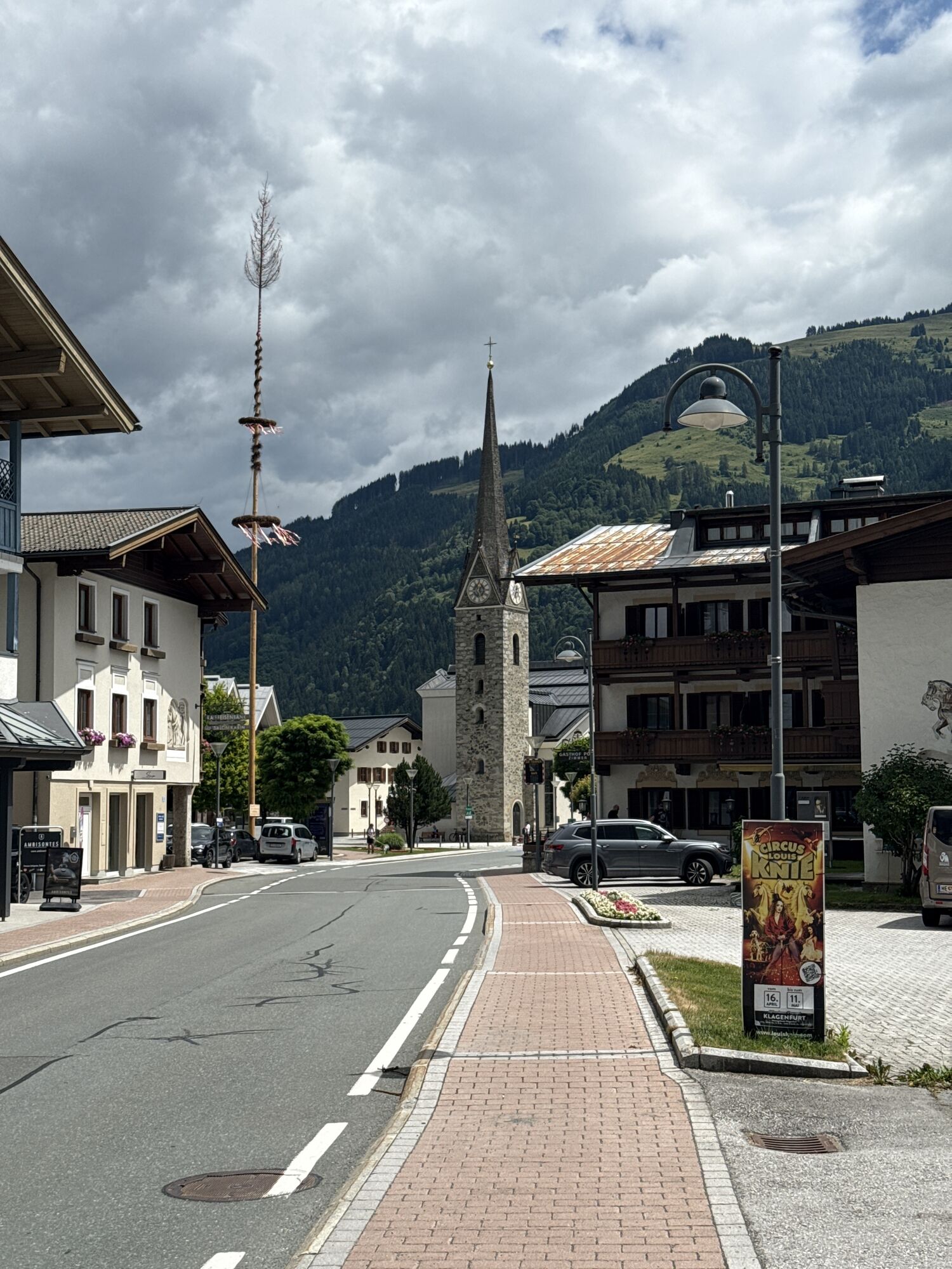
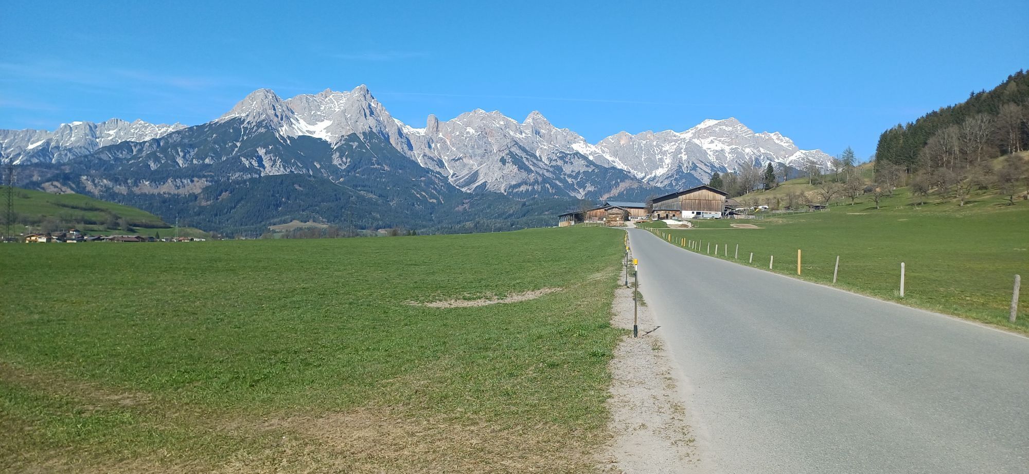
The safe alternative is the valley route, along the right side of the valley past Schloss Kammer, Oberhaus and the small Saalfelden communities of Gerling - Ruhgassing - Deuting - Hof to Almdorf and from here via the narrow road toward Gasthof Hinterreit, going up a slight ascent, then straight ahead past the Brieflerlehen to the Friedenskapelle (Peace Chapel) and then a short way into the valley and the town of Maria Alm.
climbing boots, map of trails, first-aid equipment,
cagoule, sun cream, beverage / food, binoculars
European Emergency Number: 112
Austrian Mountain Rescue Service: 140
Please note the opening hours of the alpine huts!
The long-distance hike is bookable as a package "Hiking without luggage" under Saalfelden Leogang
Here is the timetable for public transport on site
Infórmate
Siempre en directo con más de 9.500 webcams. bergfex Como usuario Pro, ahora puede ver las webcams correspondientes a muchos tours en la app de tours desde. Esto le permite ver las condiciones actuales directamente.
Rutas populares en los alrededores
-
4,4
Maria Alm - Riemannhaus
Senderismo 3,99 km -
4,8
Ruta conquistador de la cumbre Lauskopf
pesadoSenderismo 8,16 km -
4,8
Ruta de ascenso a la cima Taghaube
pesadoSenderismo 6,25 km -
4,6
Steinalm
luzSenderismo 2,71 km -
4,3
Schwalbenwand Nr. 80, 81, 82
medioSenderismo 13,0 km -
4,4
Cabaña Peter-Wiechenthaler
medioSenderismo 4,32 km -
4,9
Breithorn
medioSenderismo 10,0 km -
4,8
Punto destacado Kitzlochklamm Classic Runde
medioSenderismo 2,02 km -
4,4
Caminata por alms y refugios "Hochmaisalm & Steinbockalm"
medioSenderismo 8,10 km -
4,2
Passauer Hütte
pesadoSenderismo 4,14 km
Senderismo y rastreo


No se pierda las ofertas y la inspiración para sus próximas vacaciones
Su dirección de correo electrónico se ha añadido a la lista de correo.





