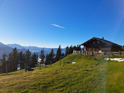
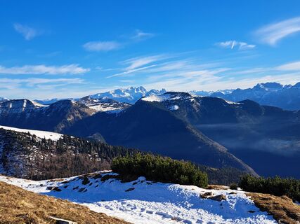
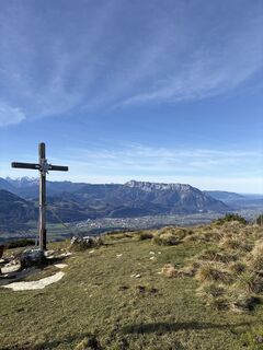
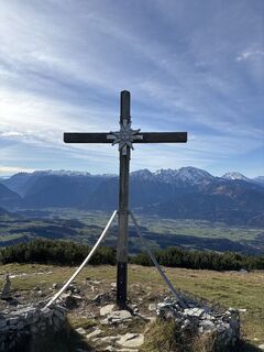
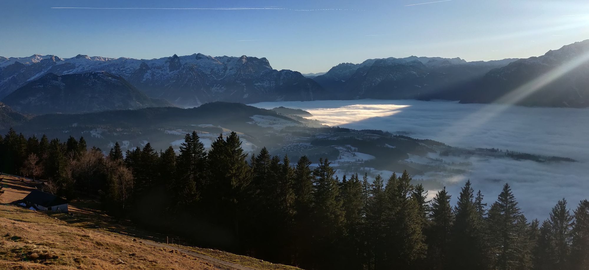
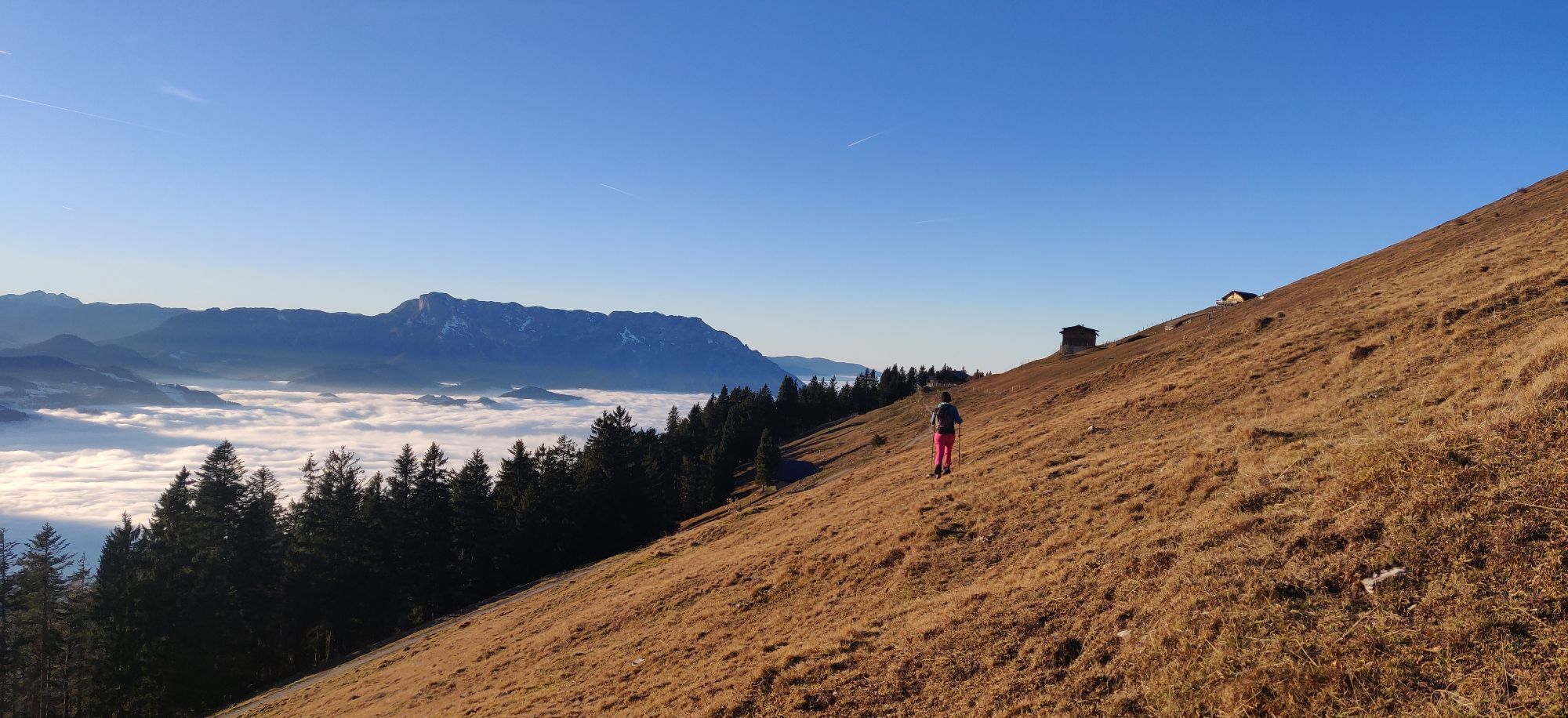
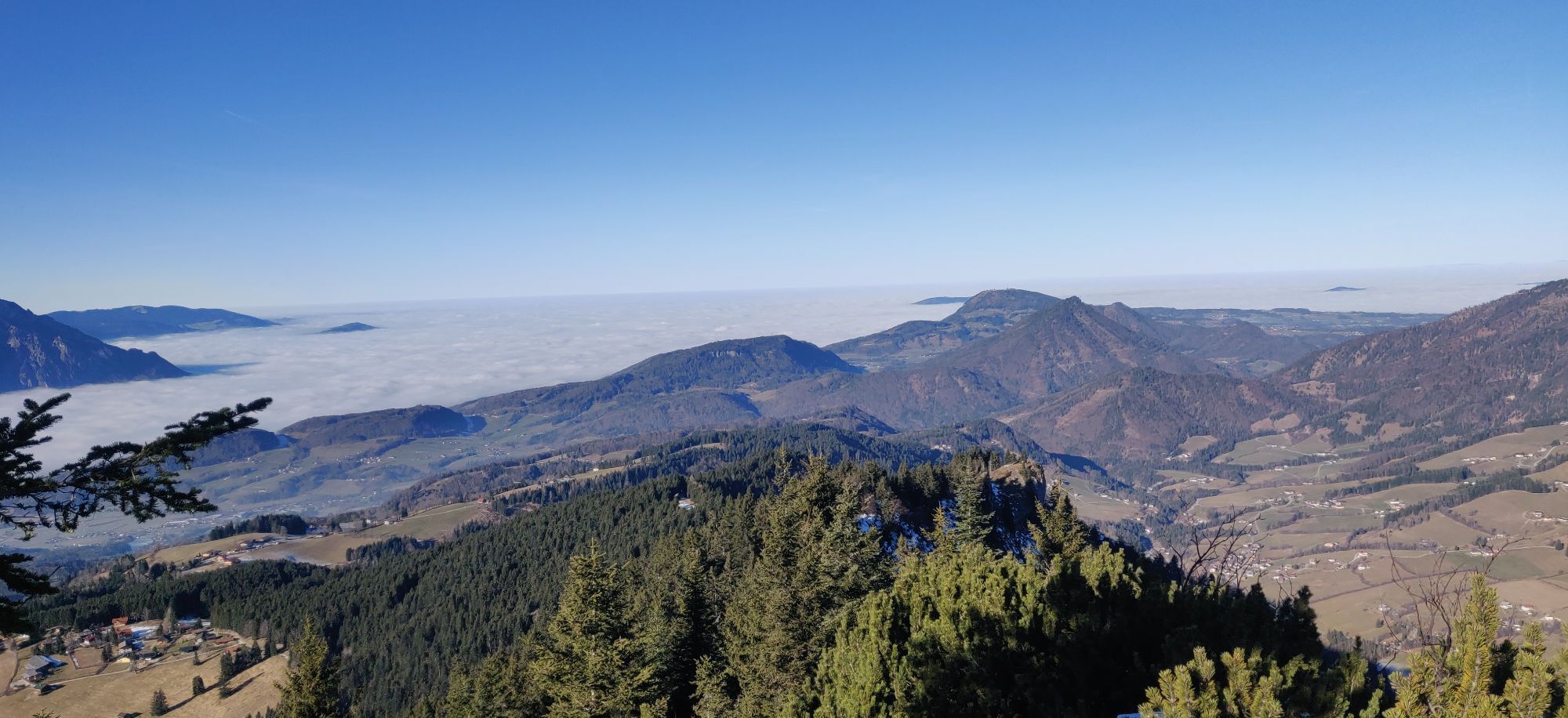
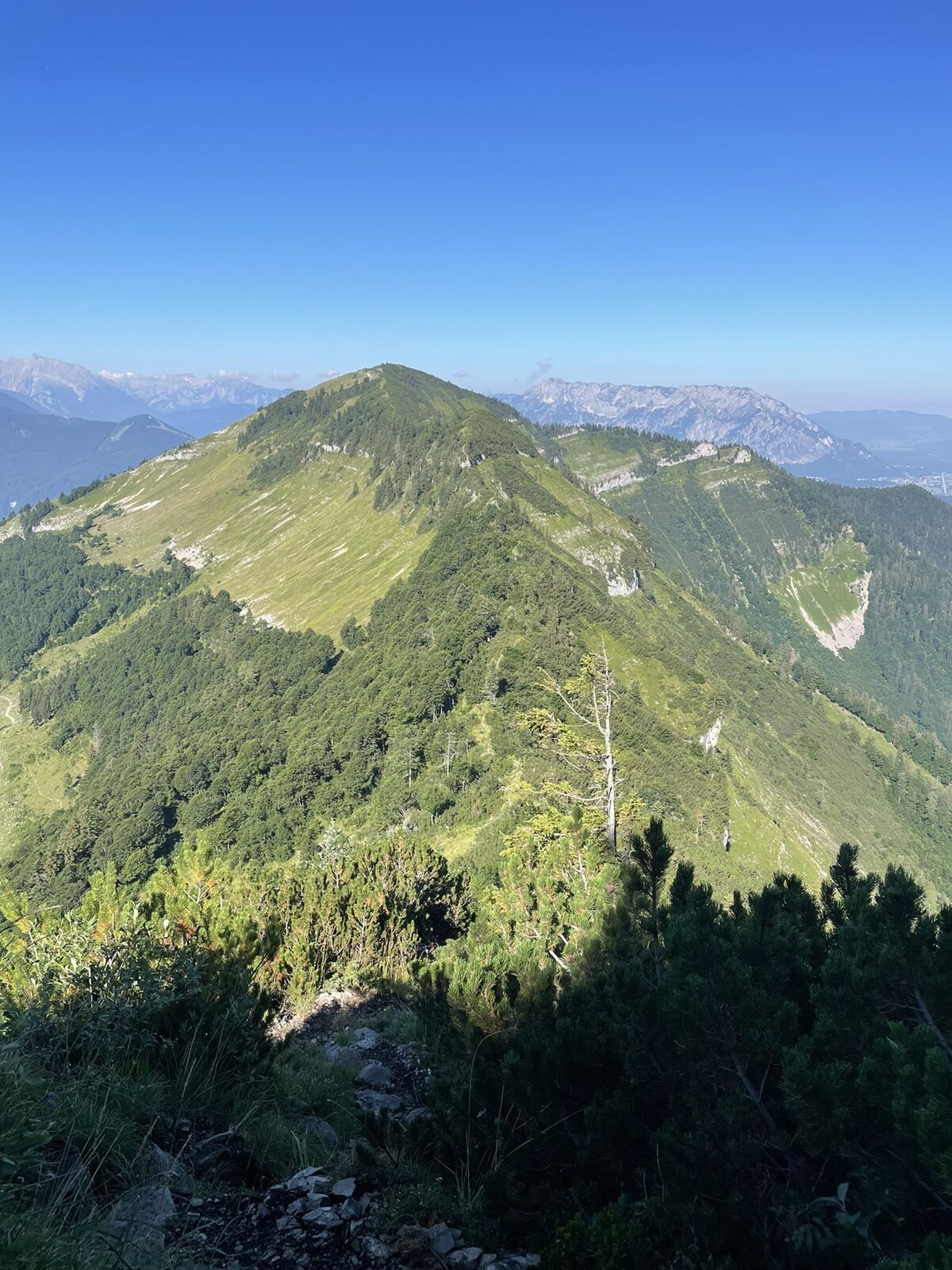
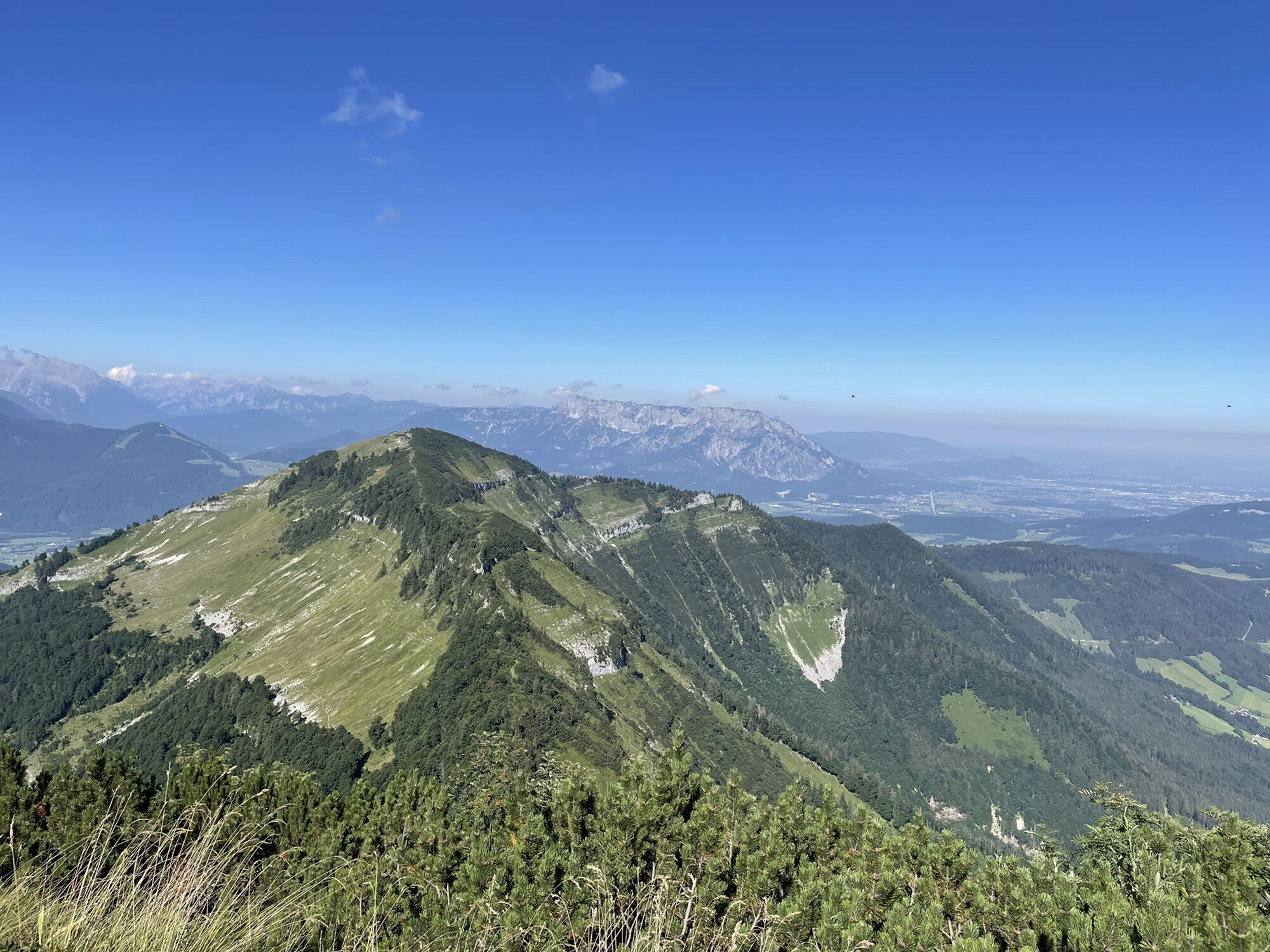
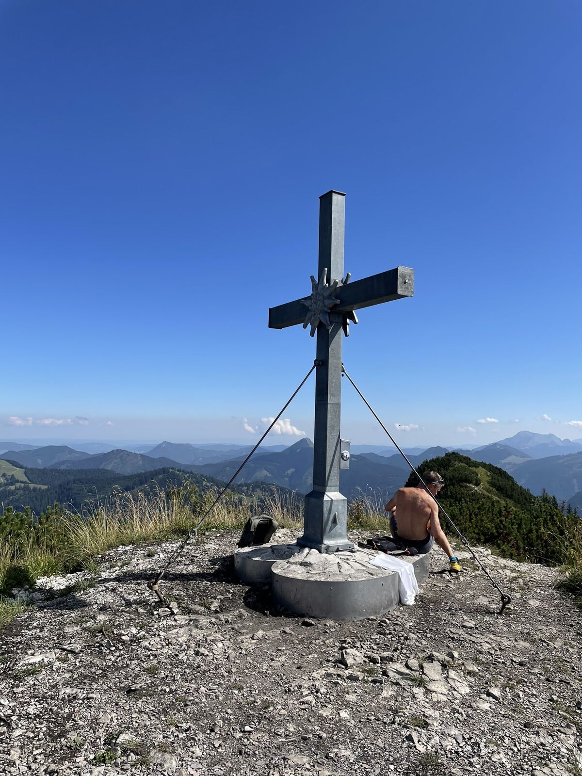
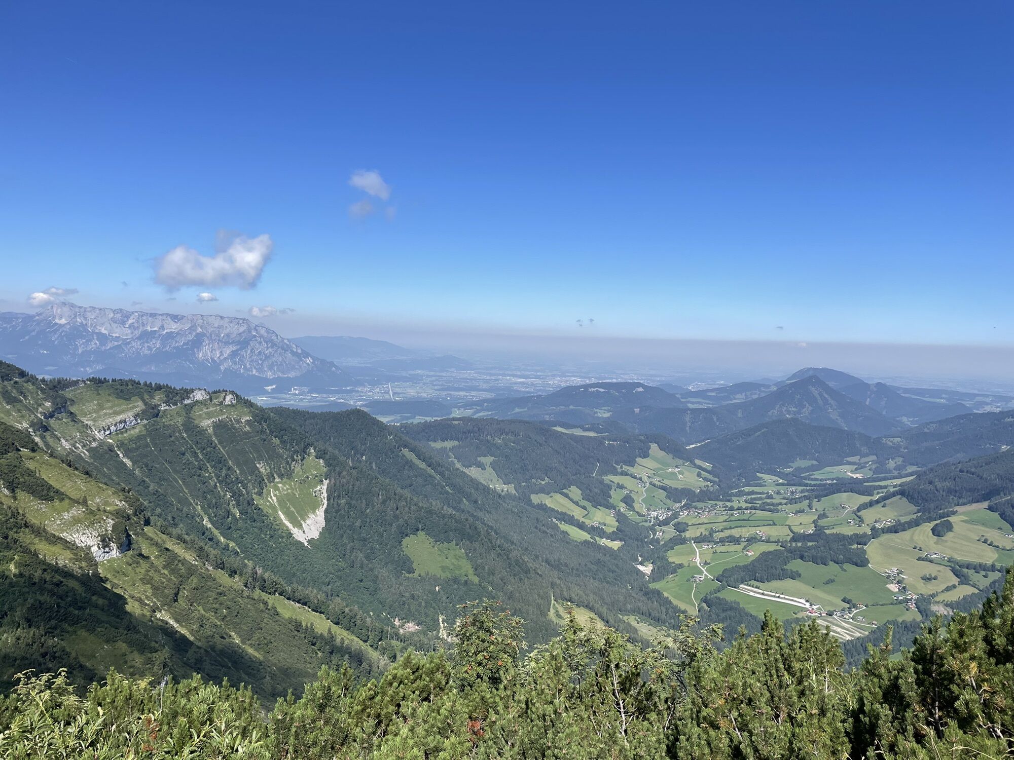
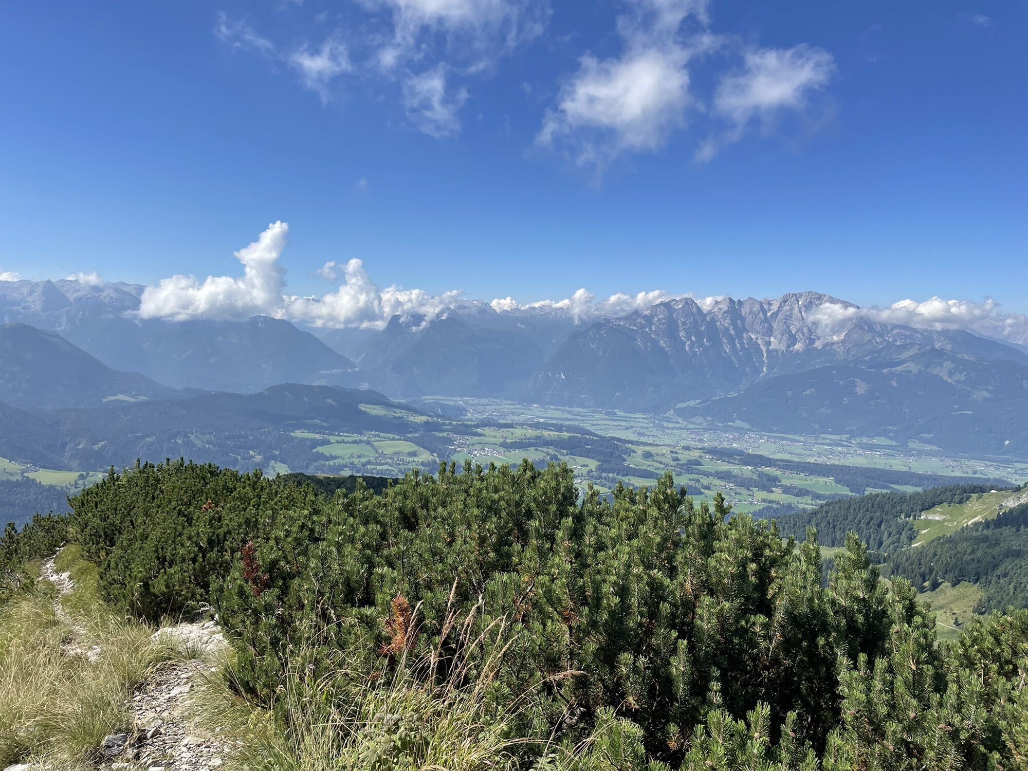
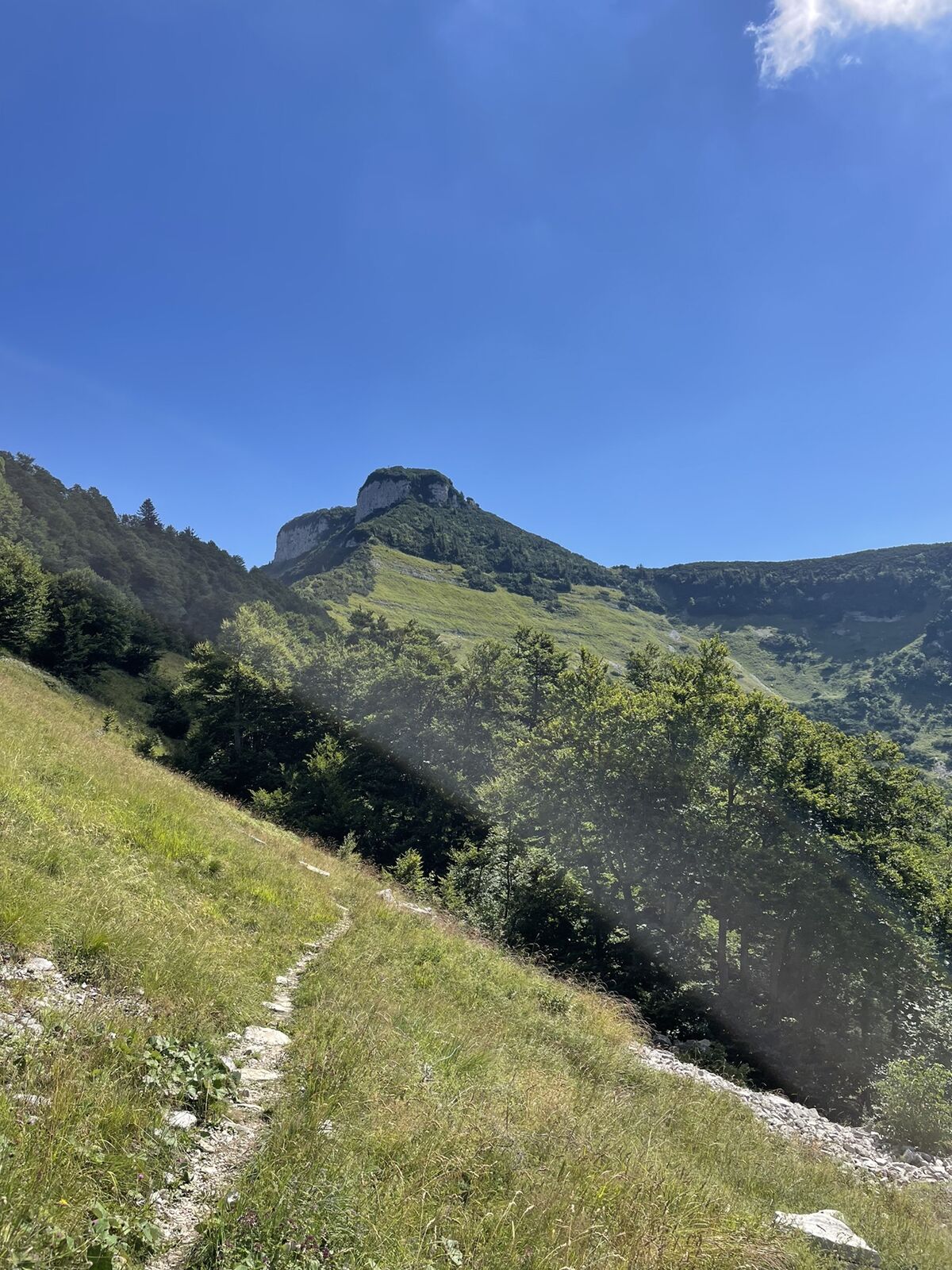
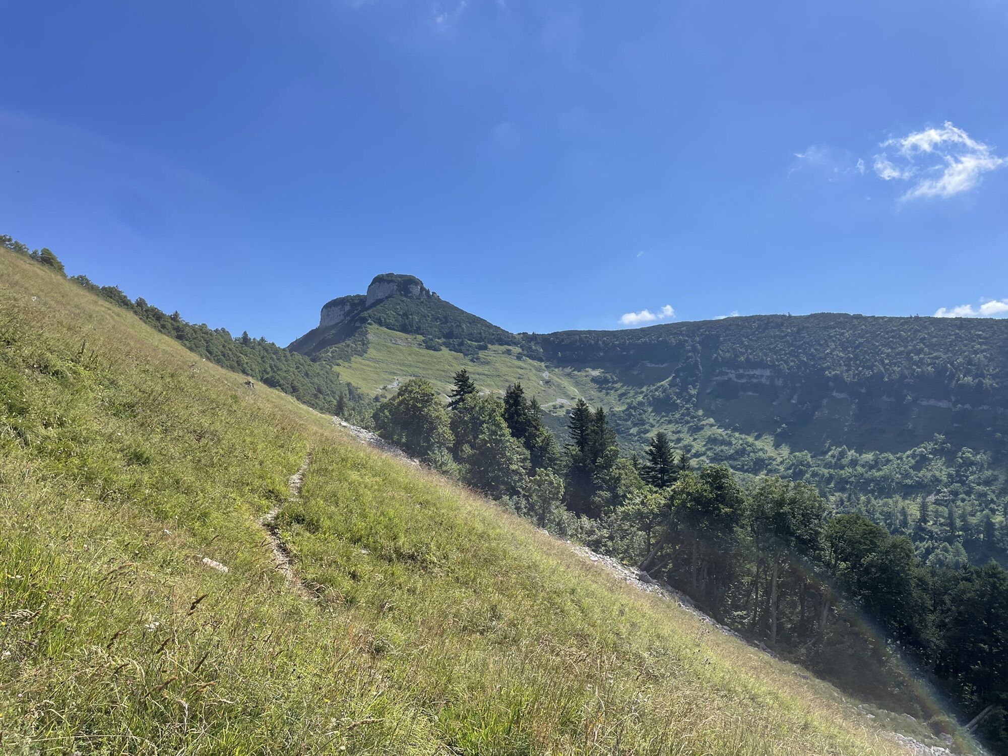
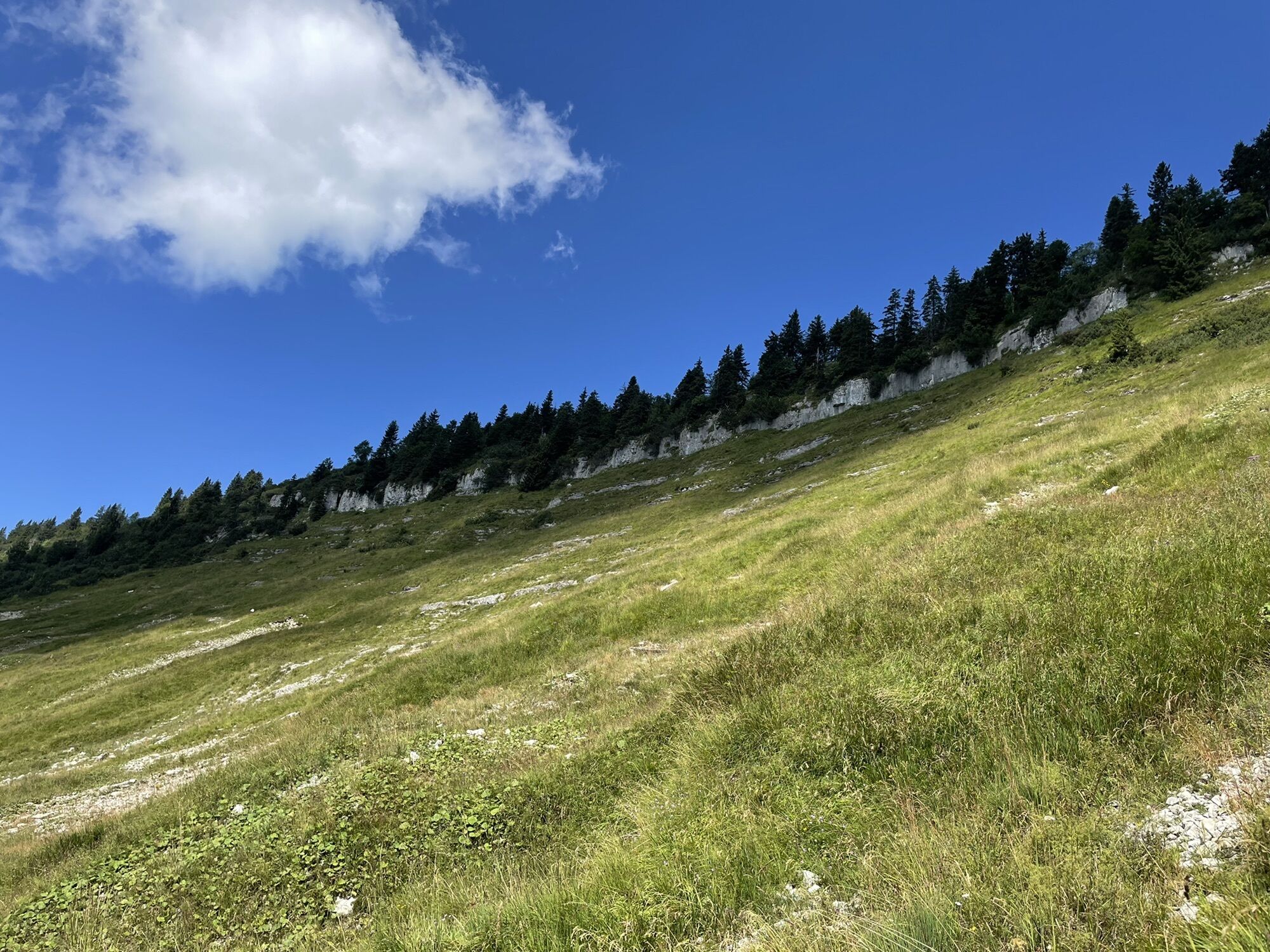
Schlenken and Schmittenstein hike
pesado
Navegue por
Navegue por
Consigue este tour en tu móvil
Schlenken and Schmittenstein hike
pesado
Senderismo
10,86
km
Escanee el código QR e inicie la navegación en la aplicación bergfex

Senderismo y rastreo


Schlenken and Schmittenstein hike
pesado
Distancia
10,86
km
Duración
03:13
h
Ascenso
700
m
Nivel del mar
1.140 -
1.689
m
Descarga de pistas
Schlenken and Schmittenstein hike
pesado
Senderismo
10,86
km
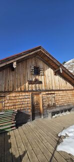
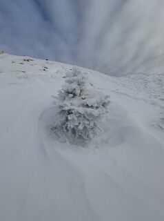
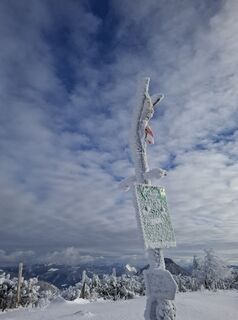
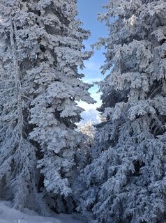
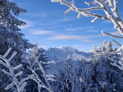
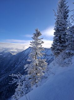
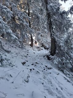
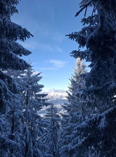
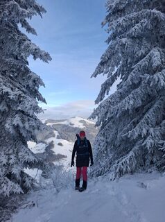
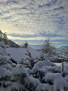
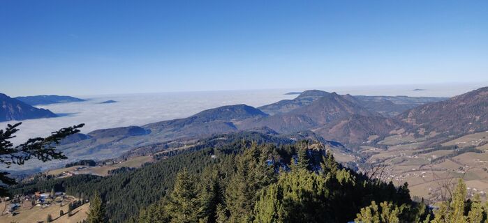
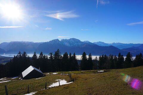
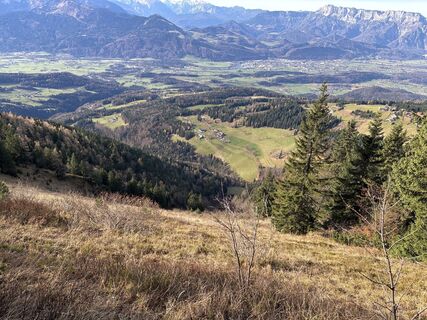
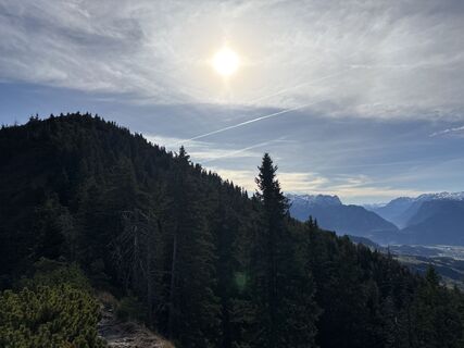
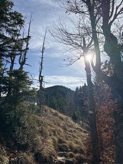
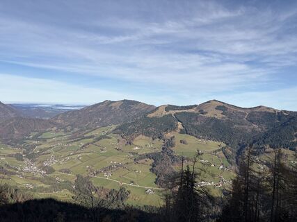
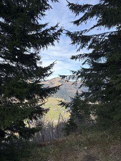
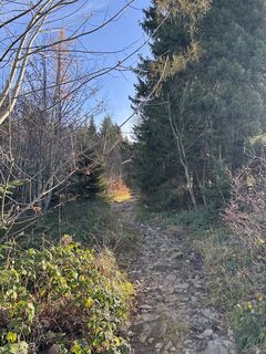
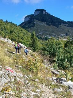
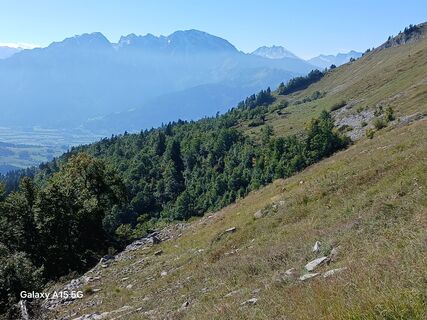
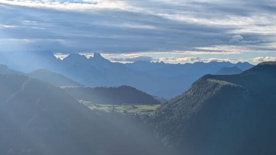
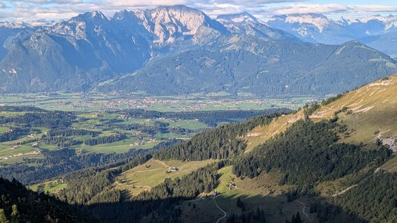
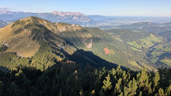
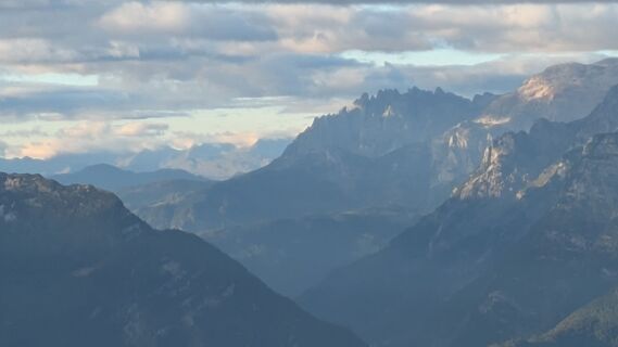
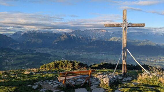
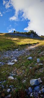
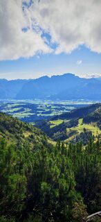
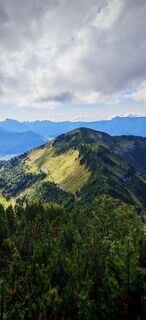
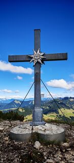
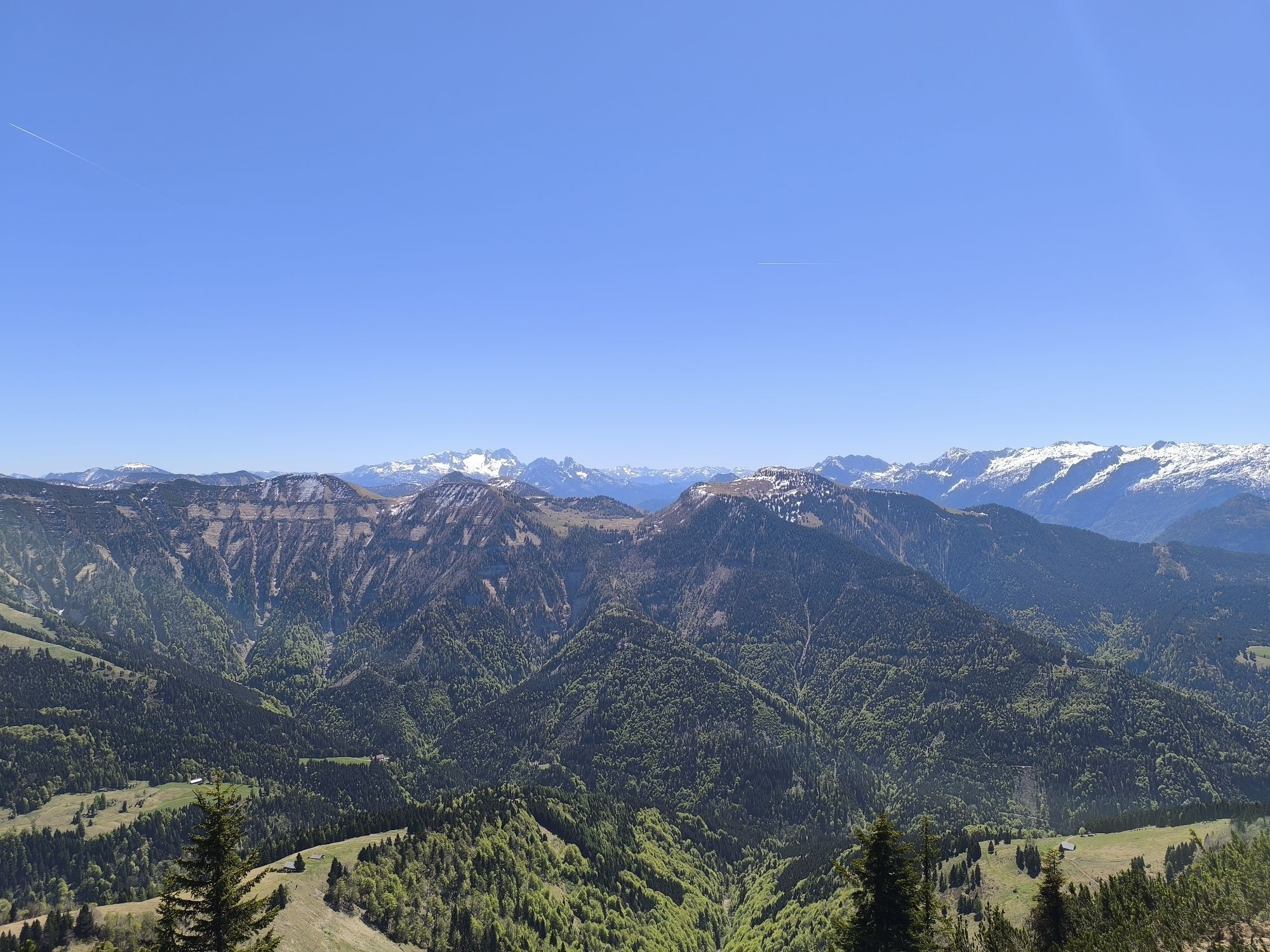
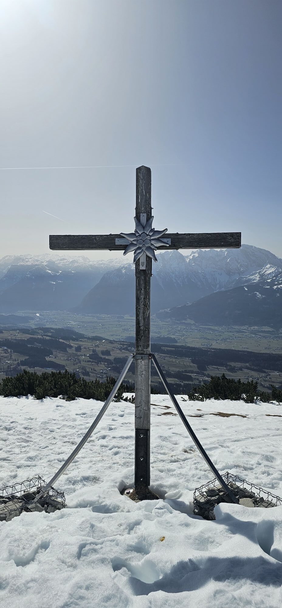
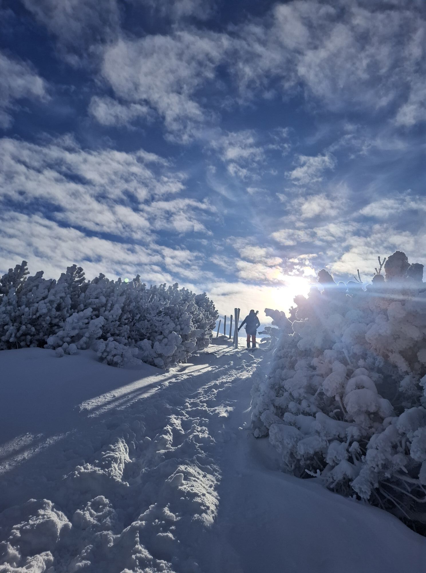
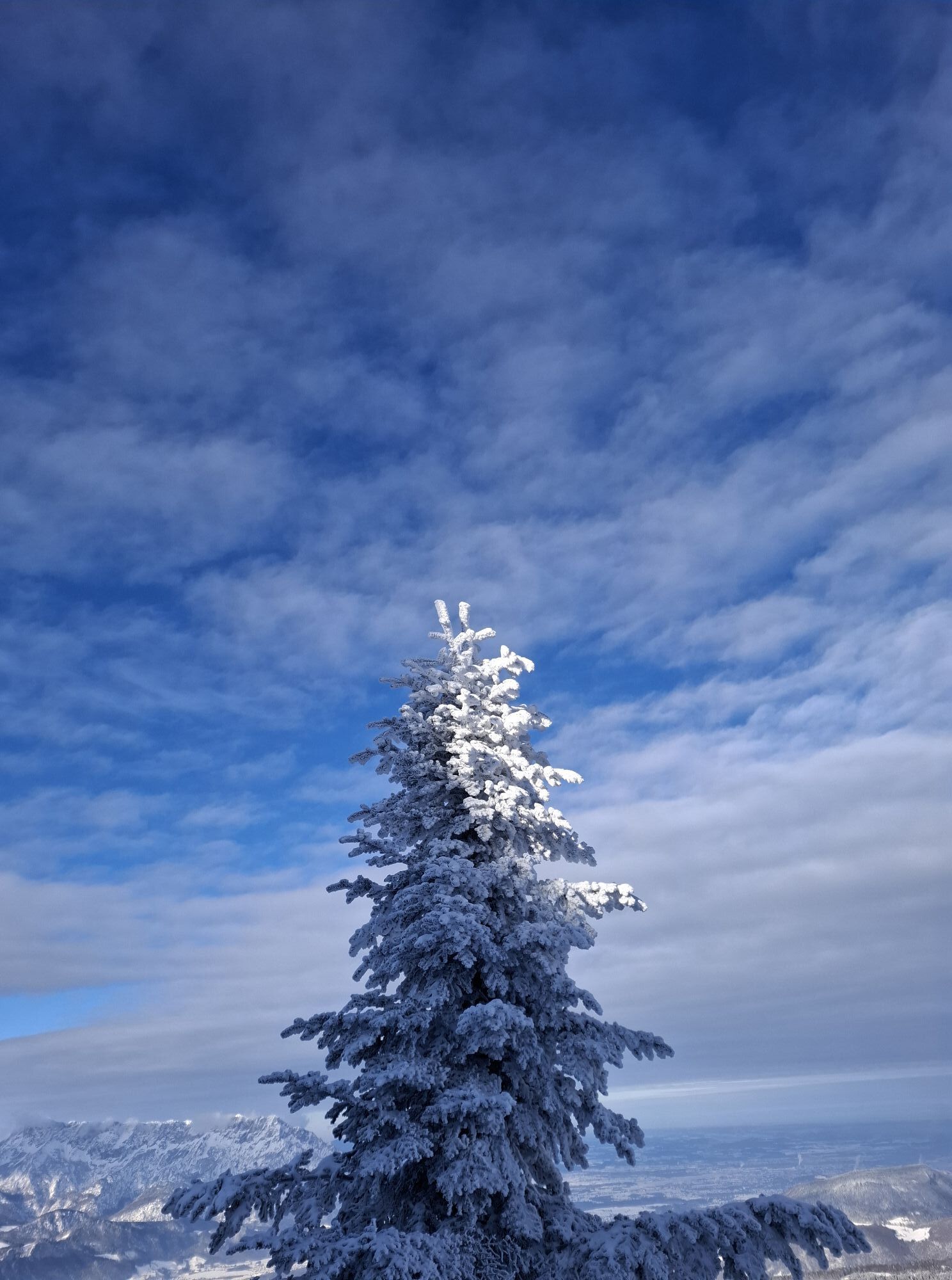
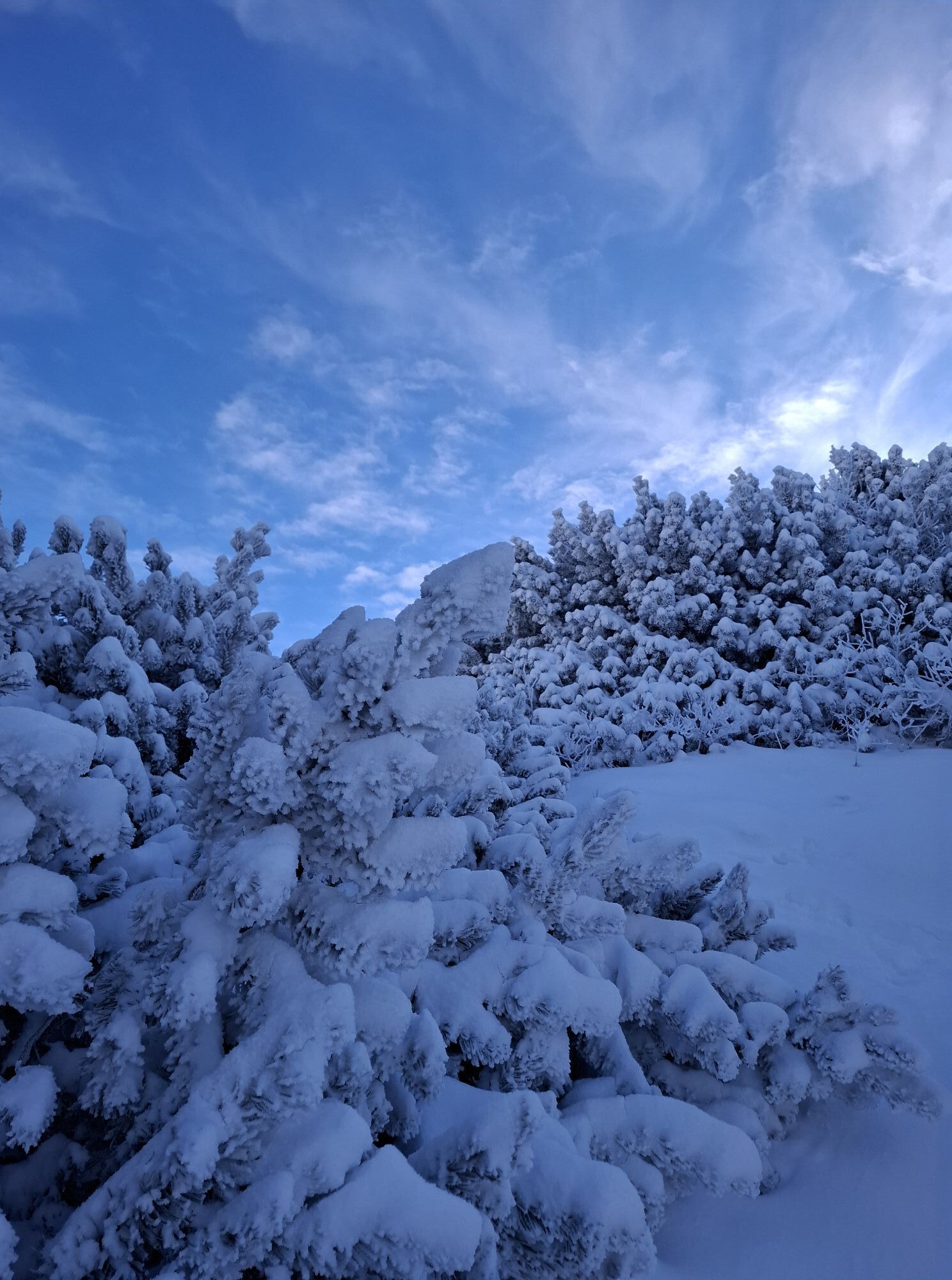
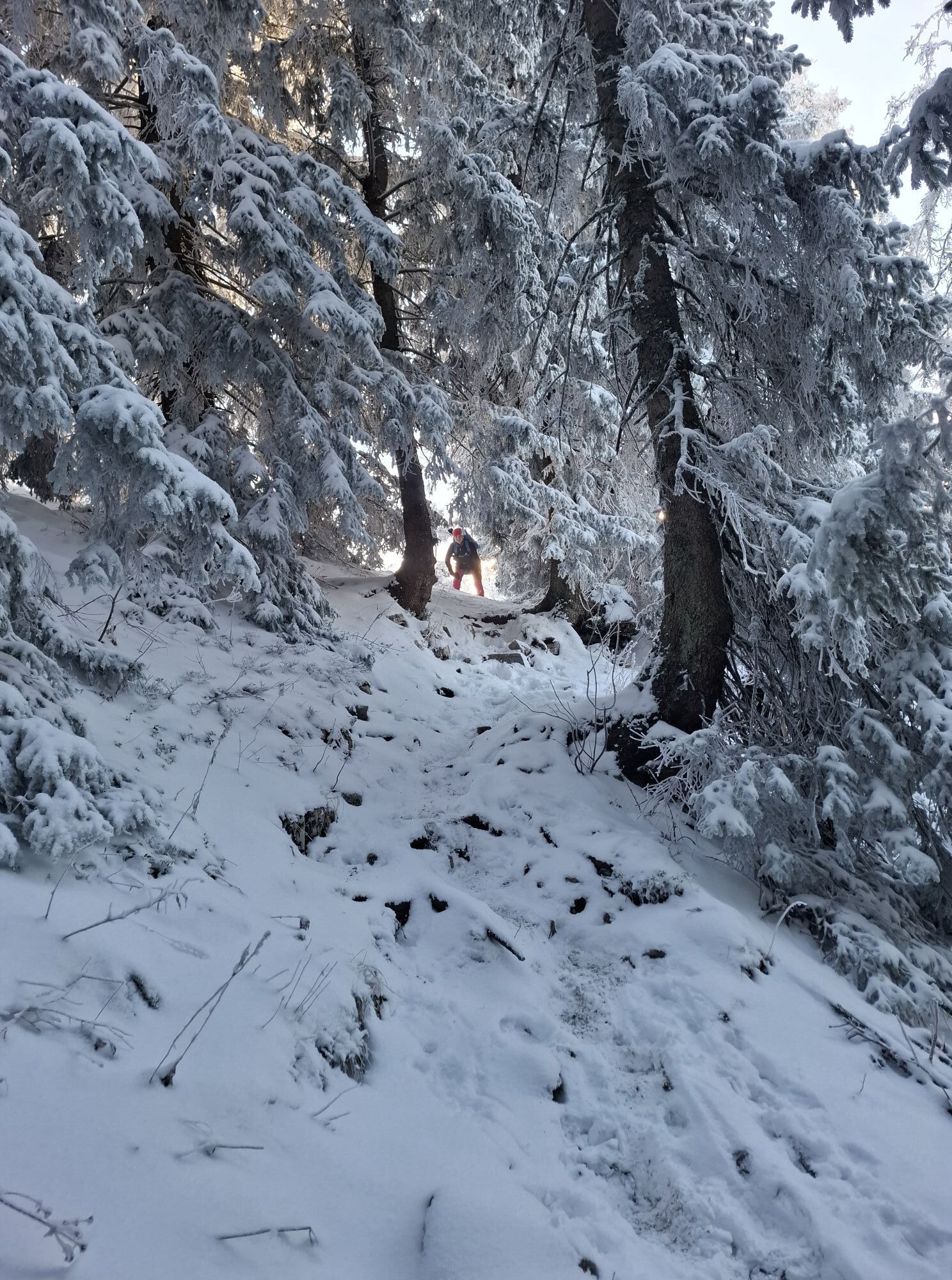
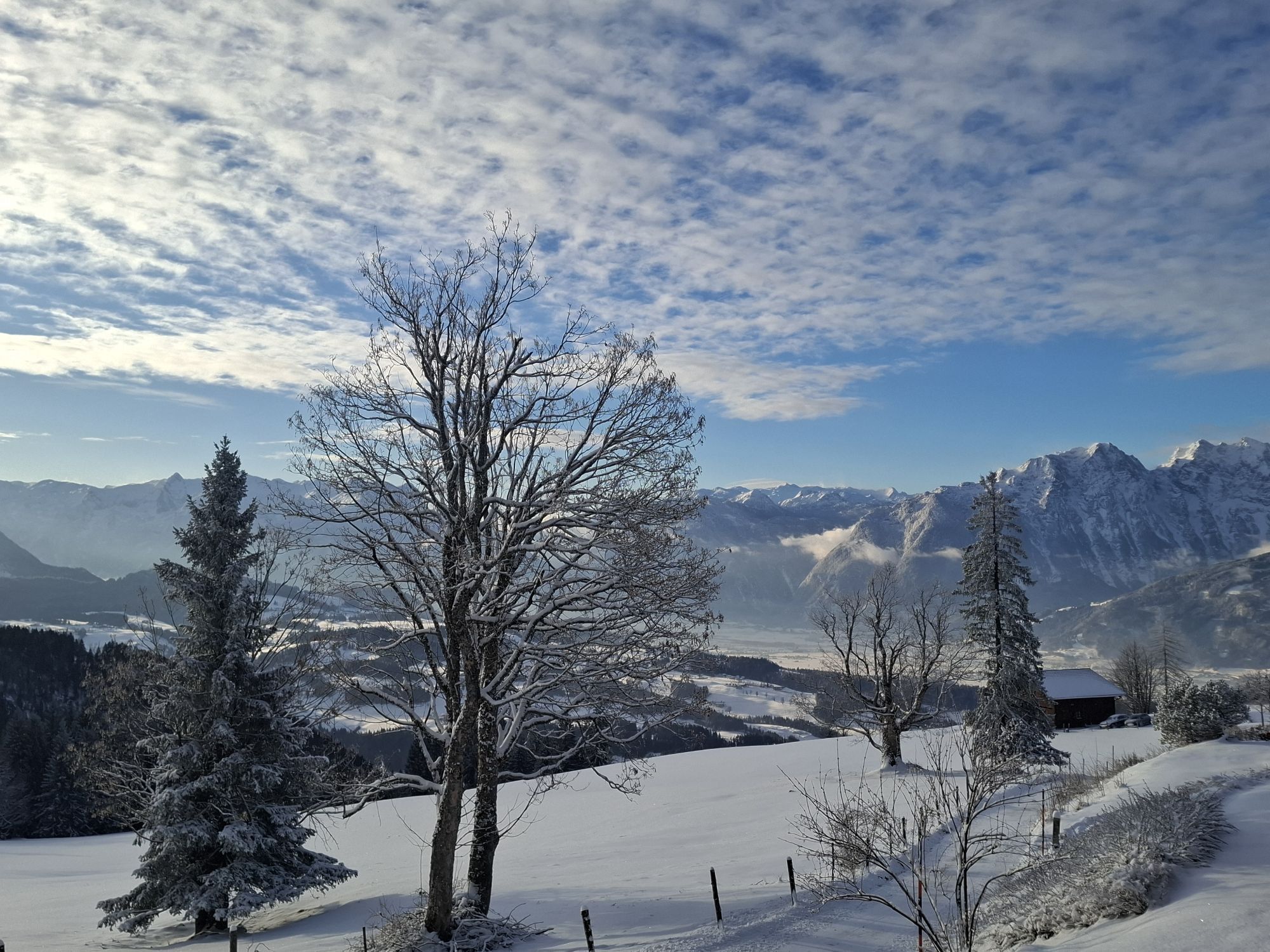
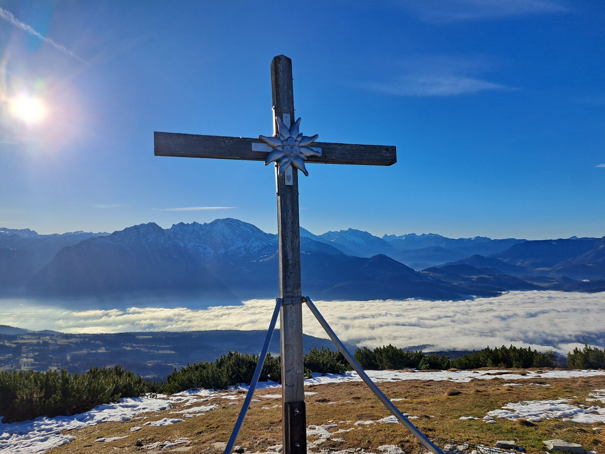
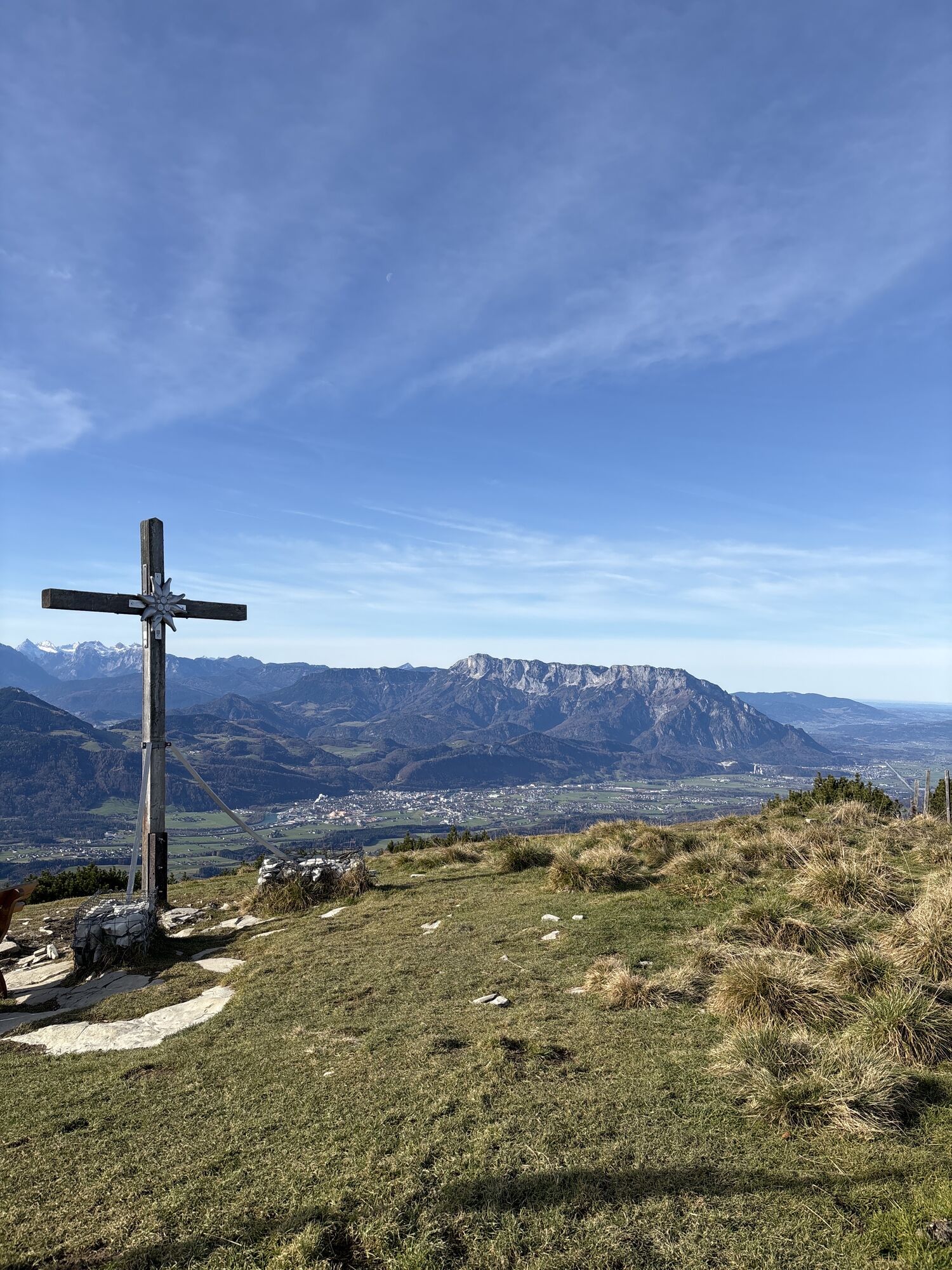
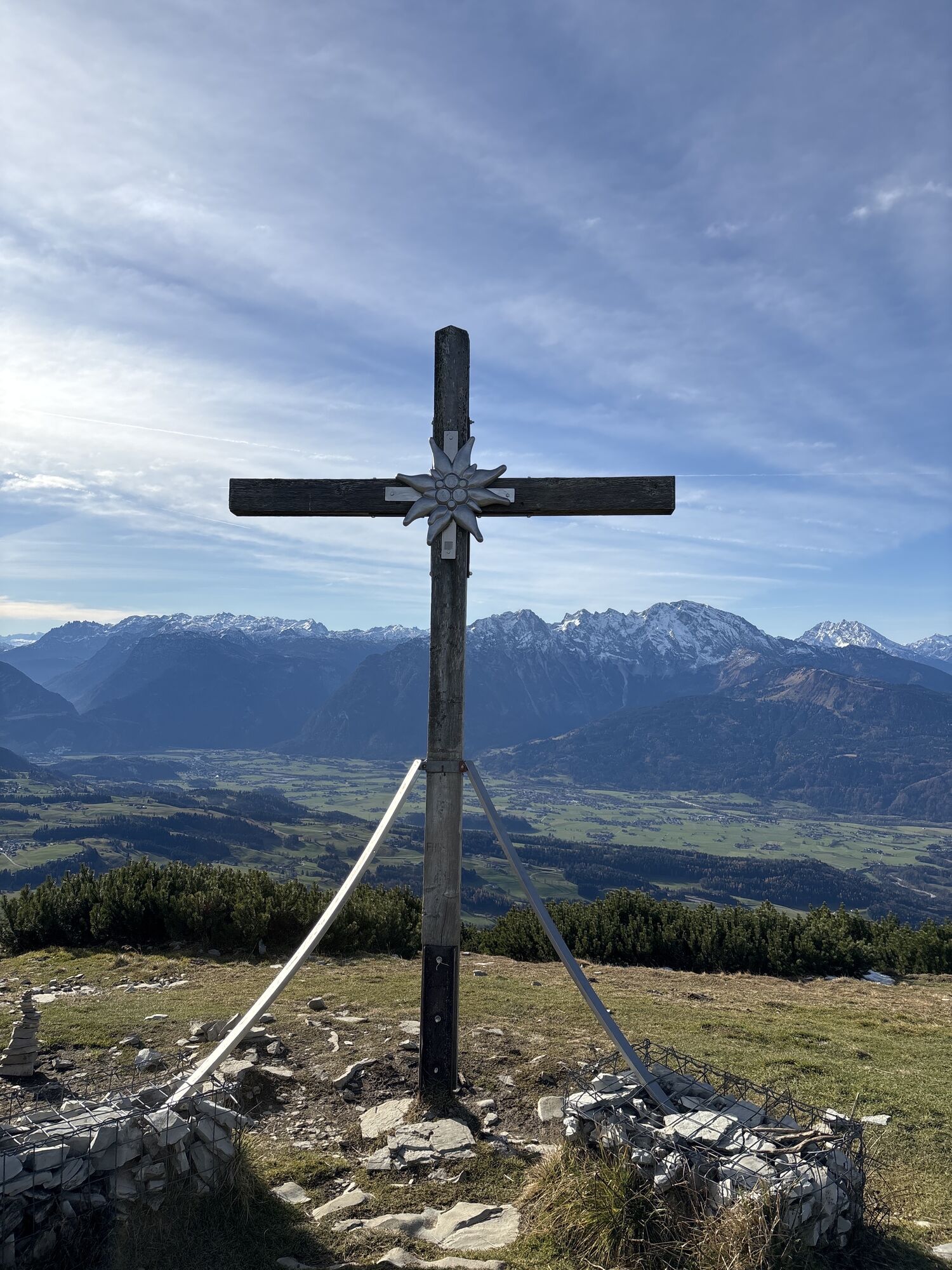
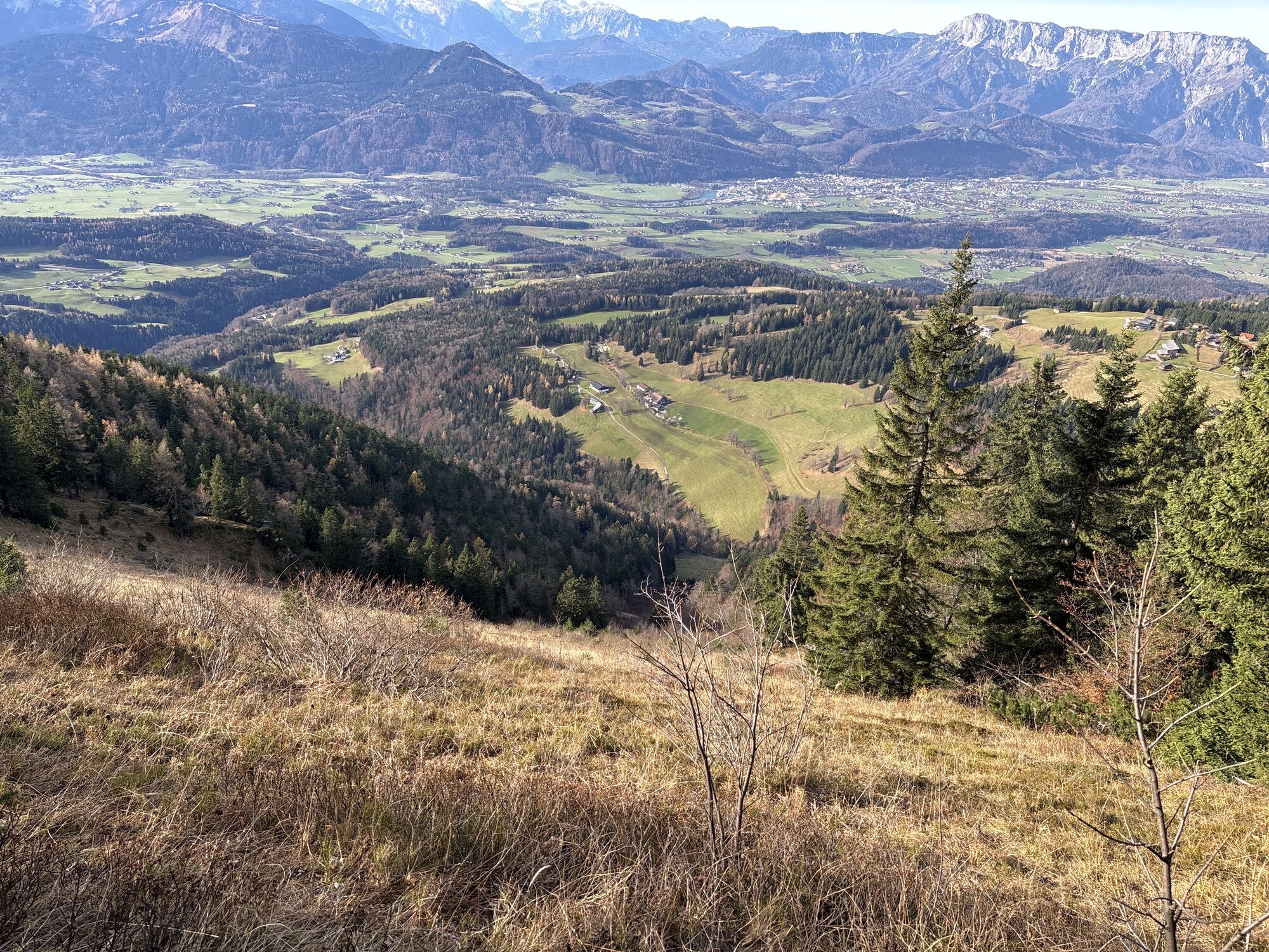
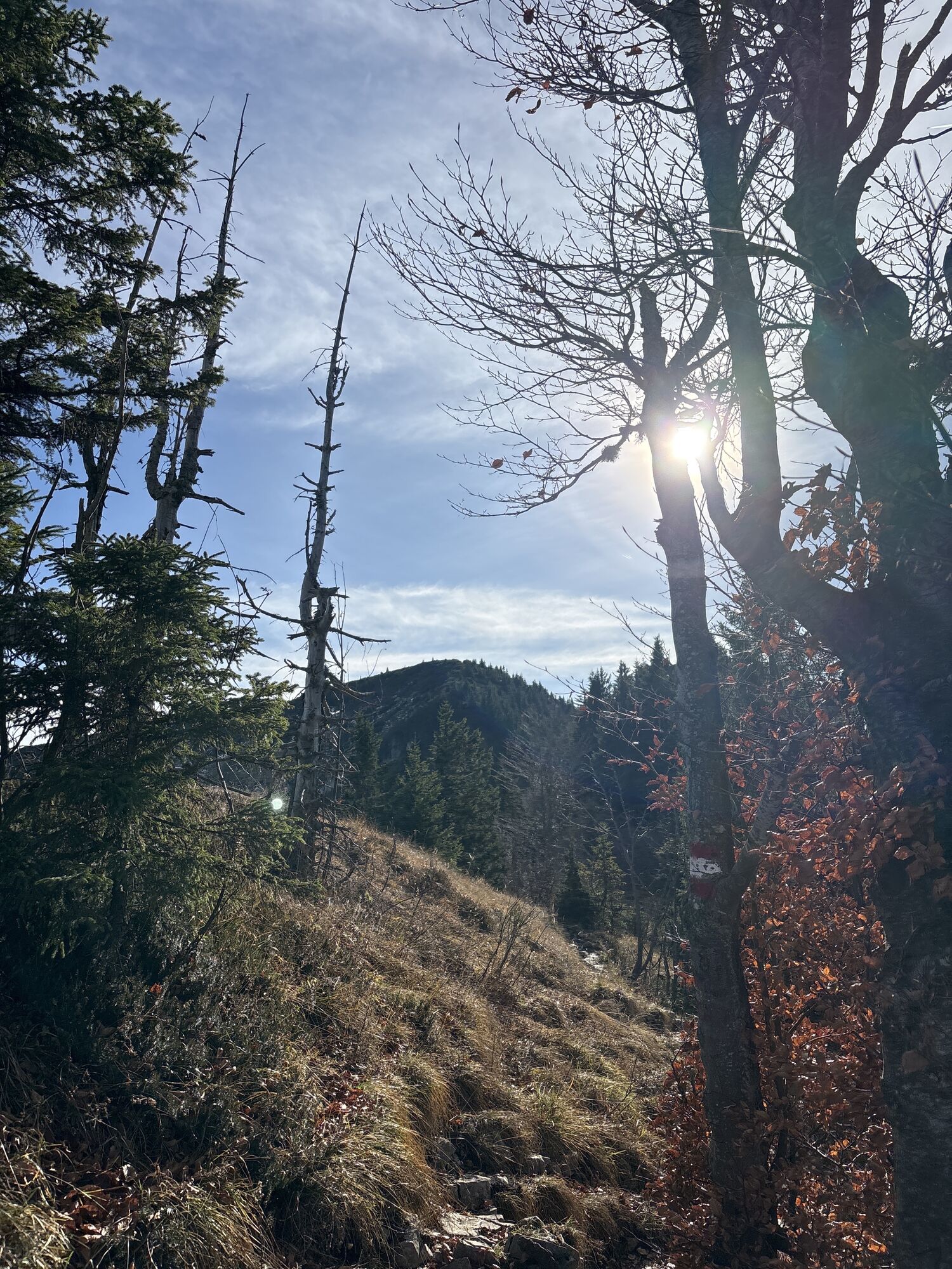
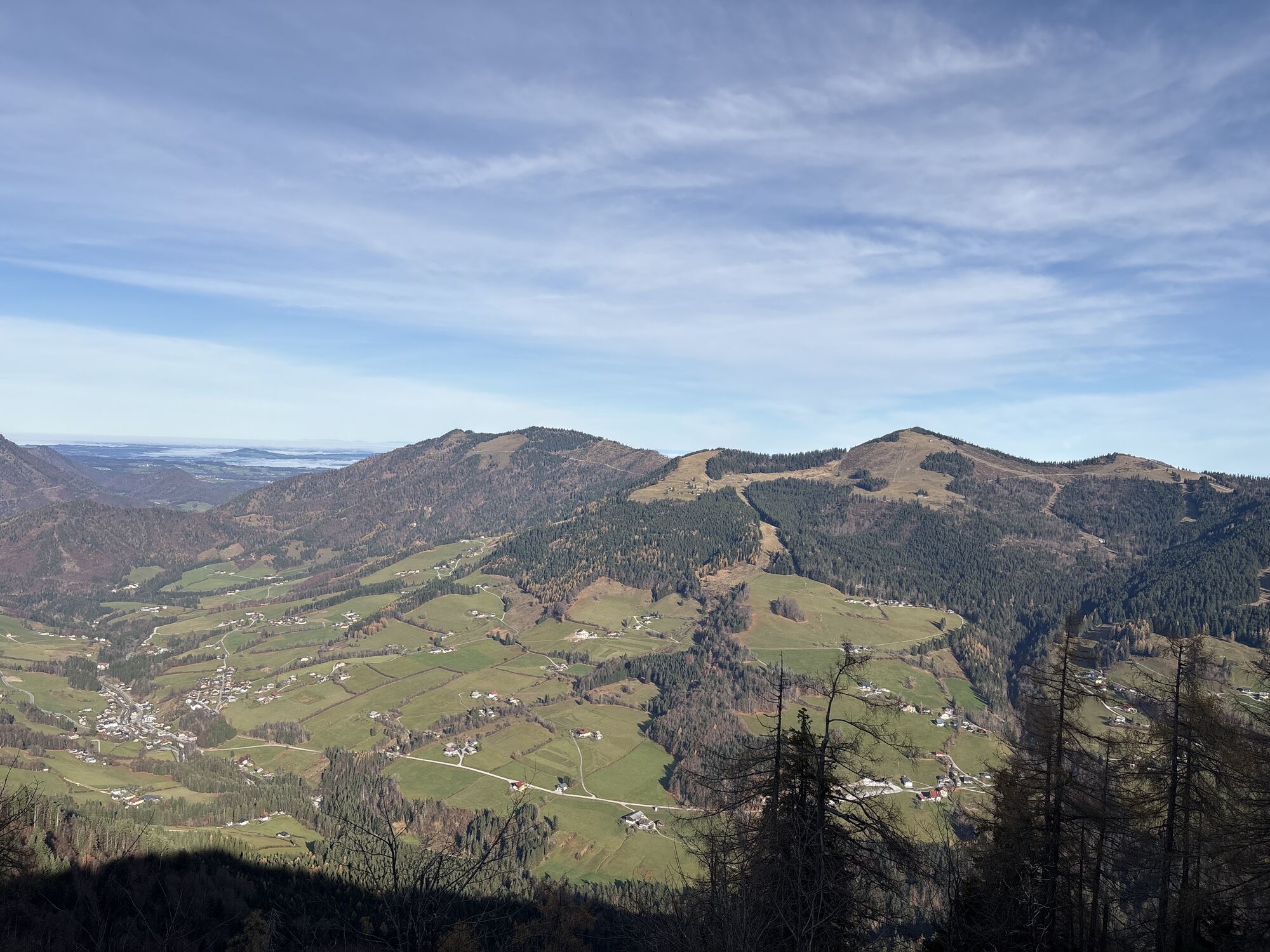
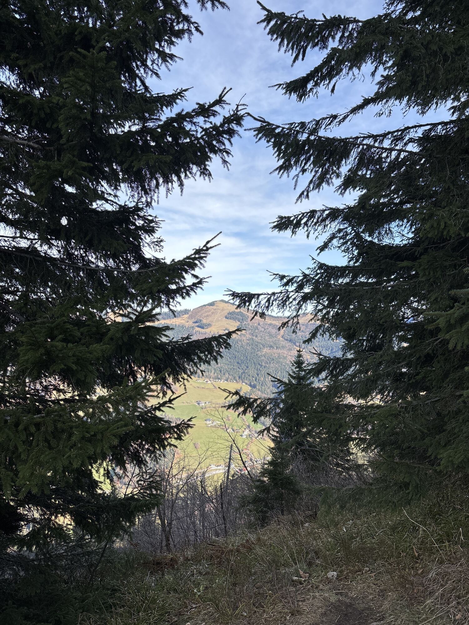
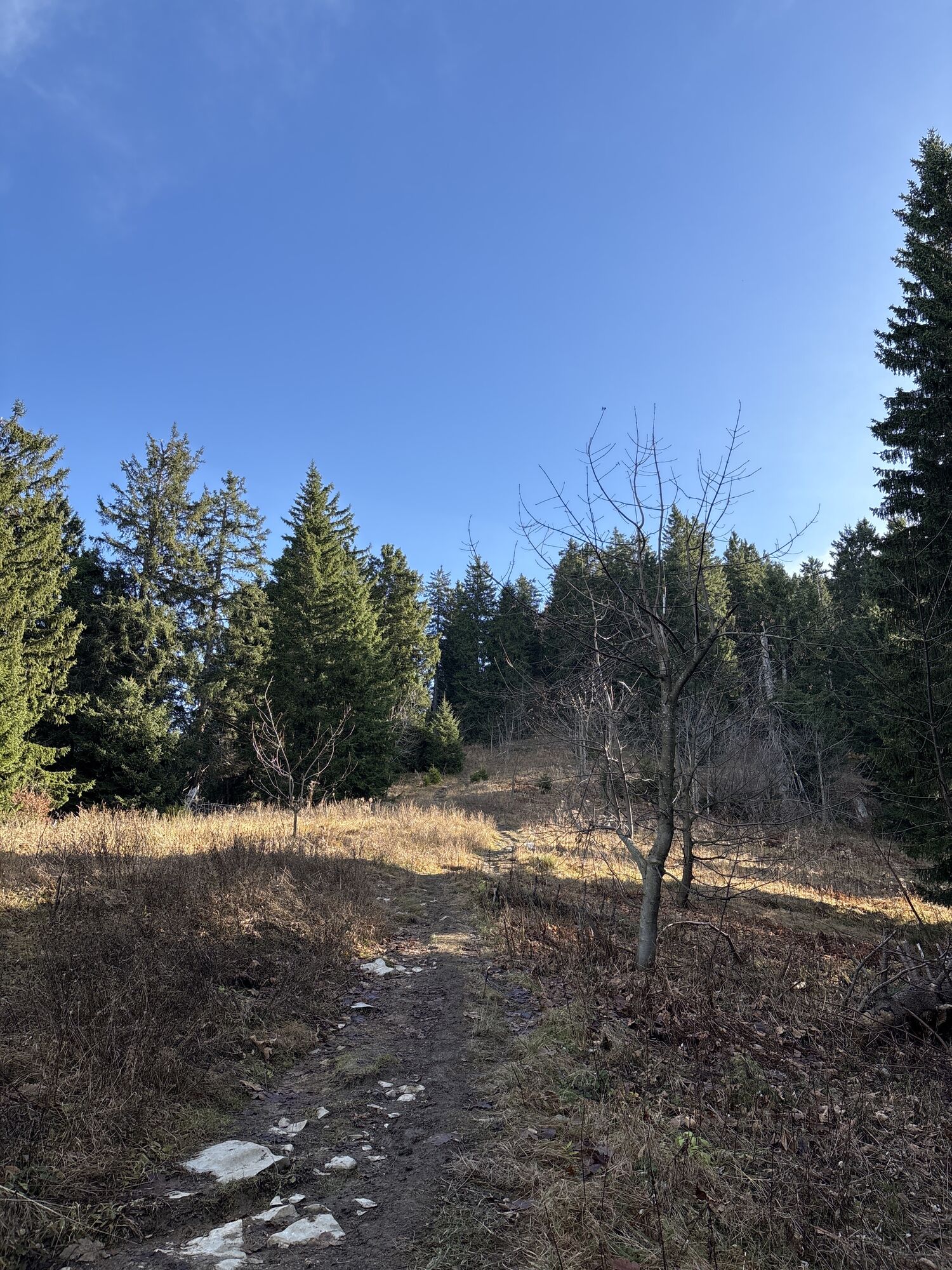
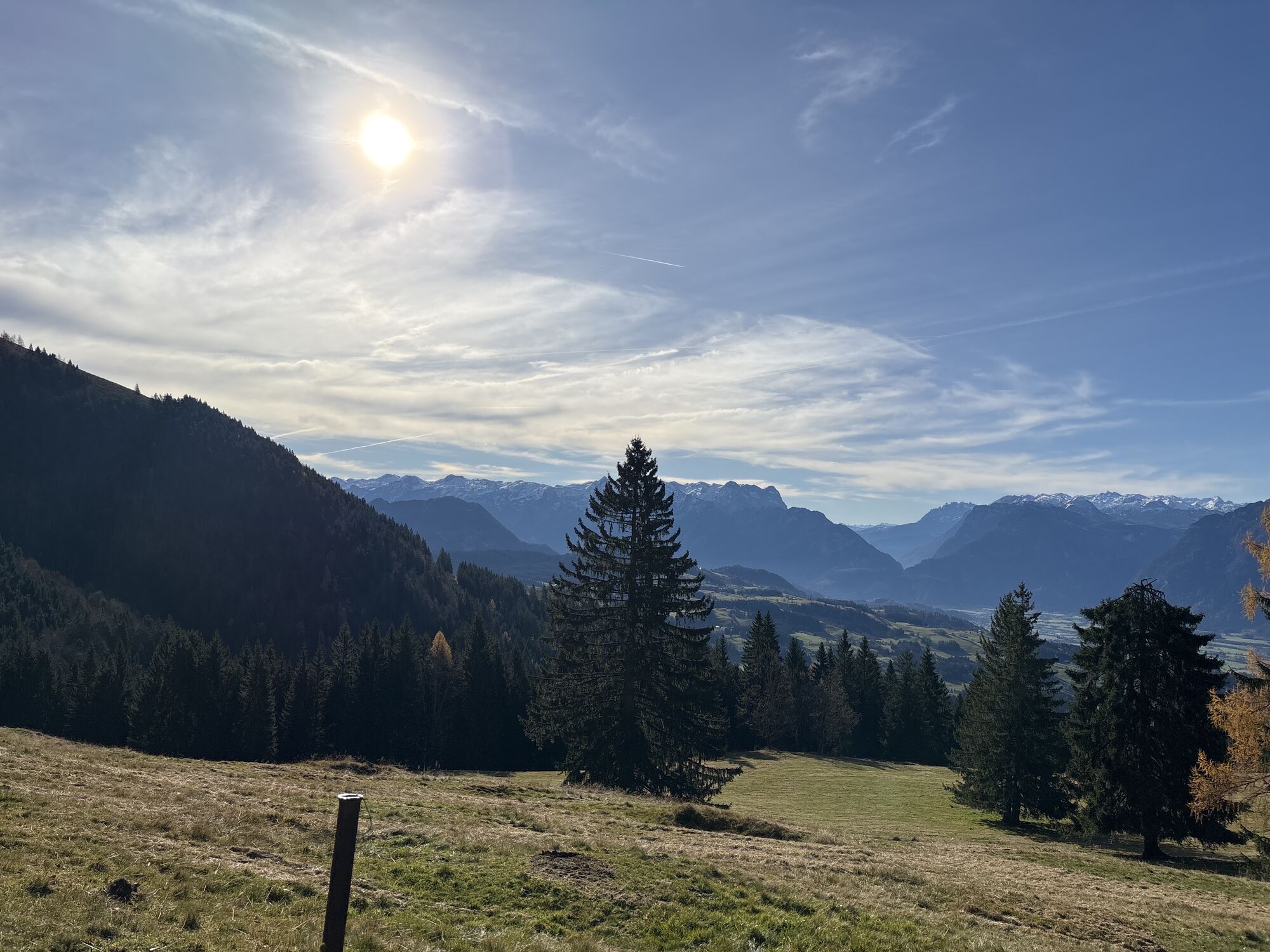
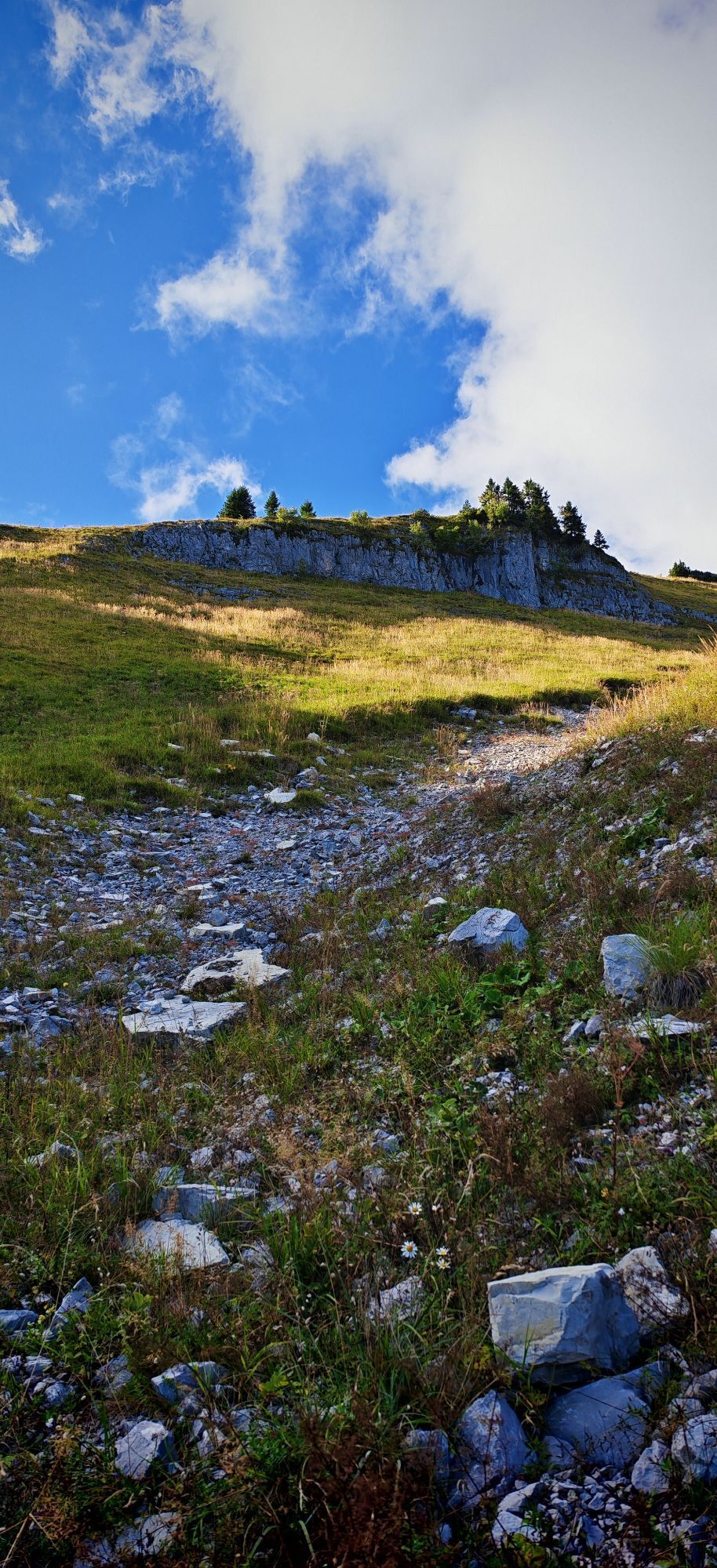
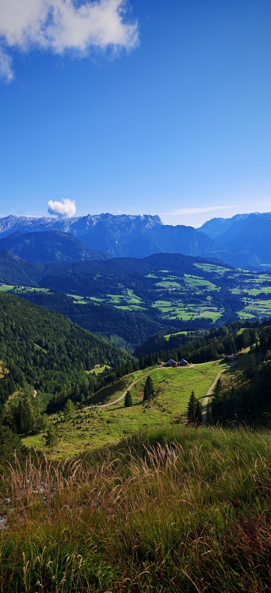
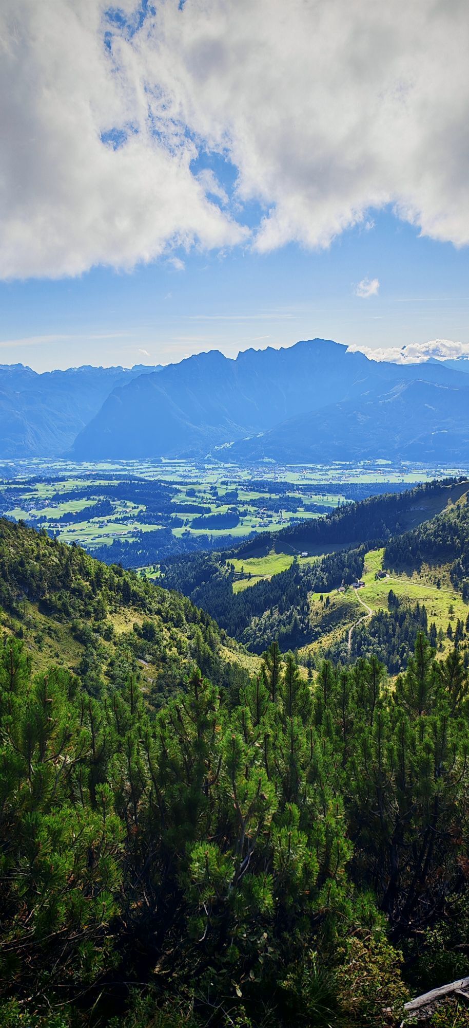
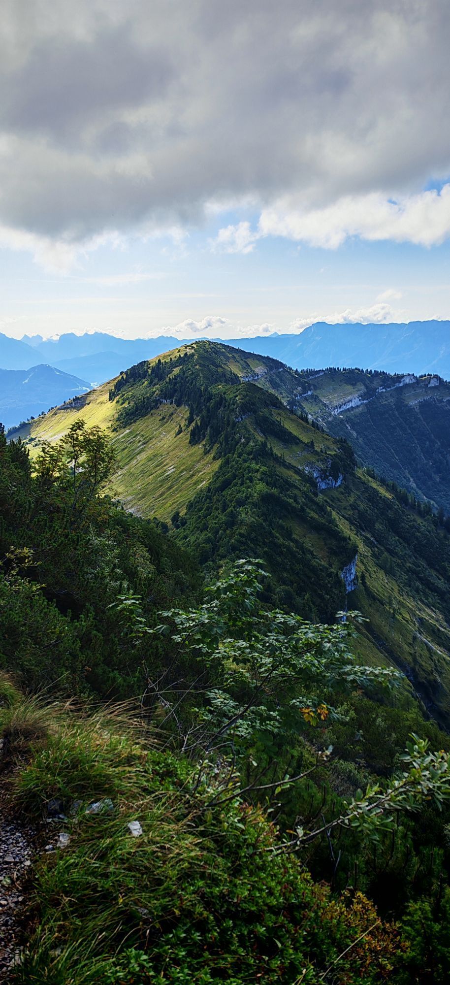
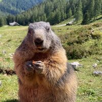
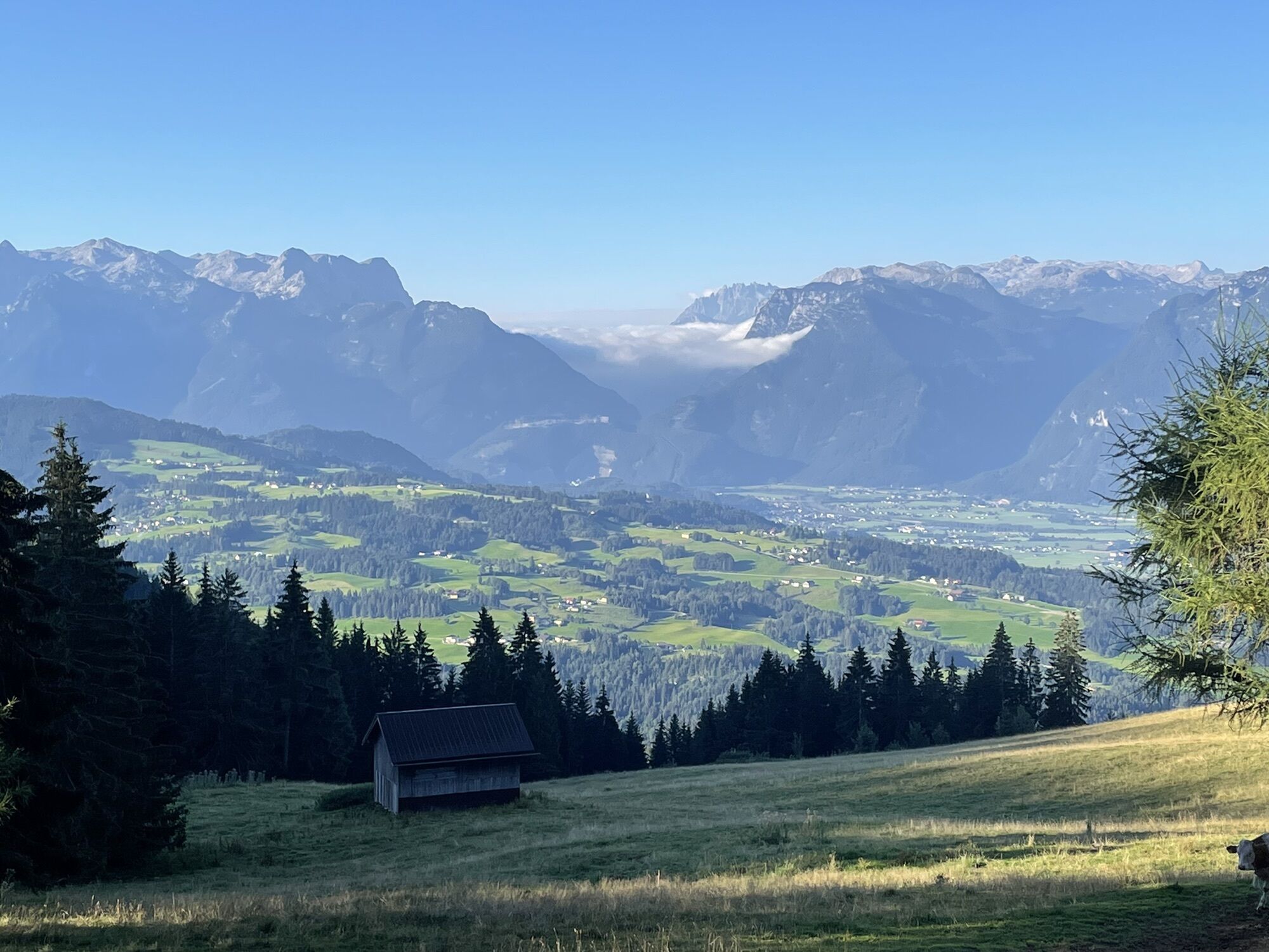
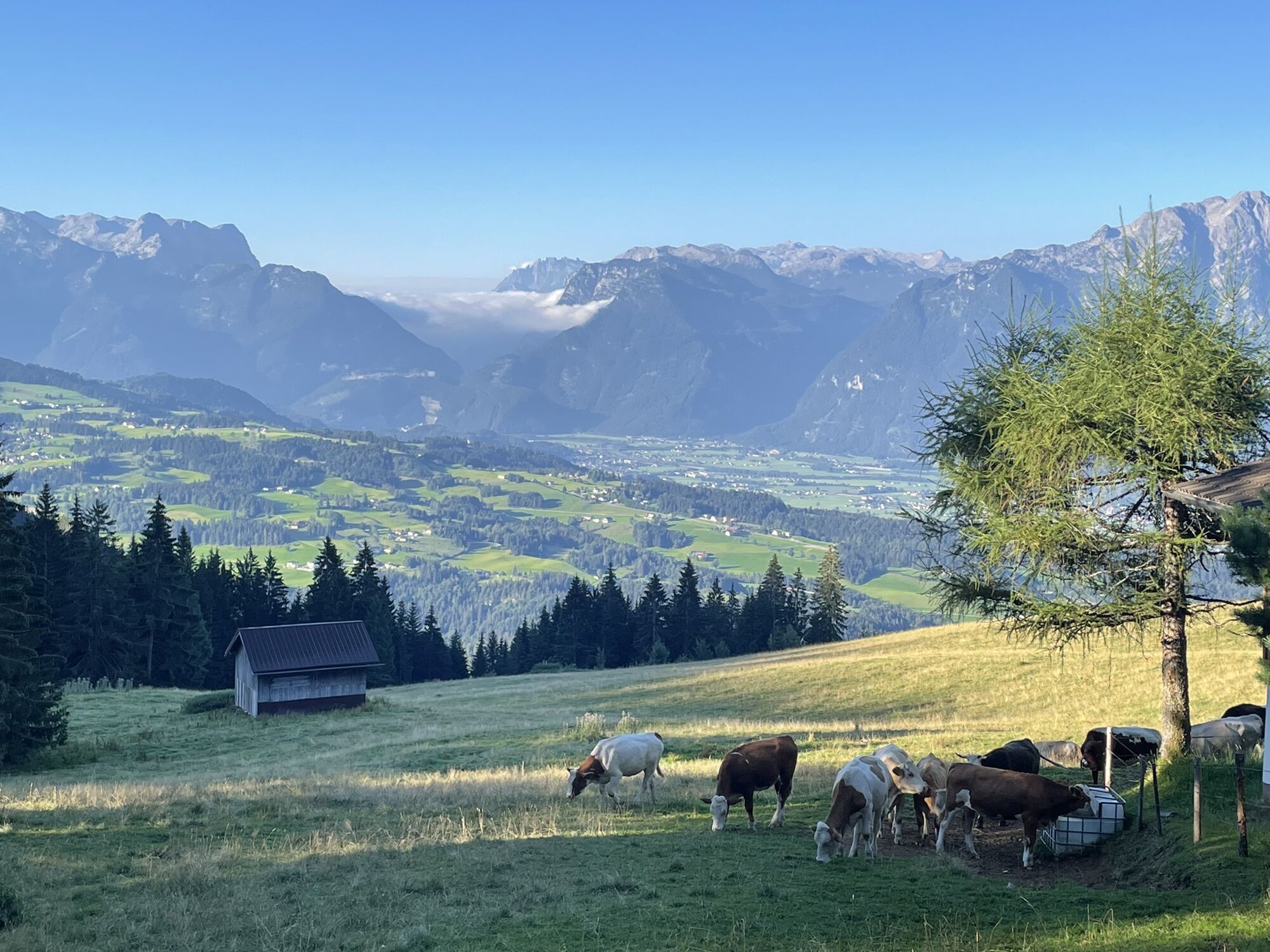
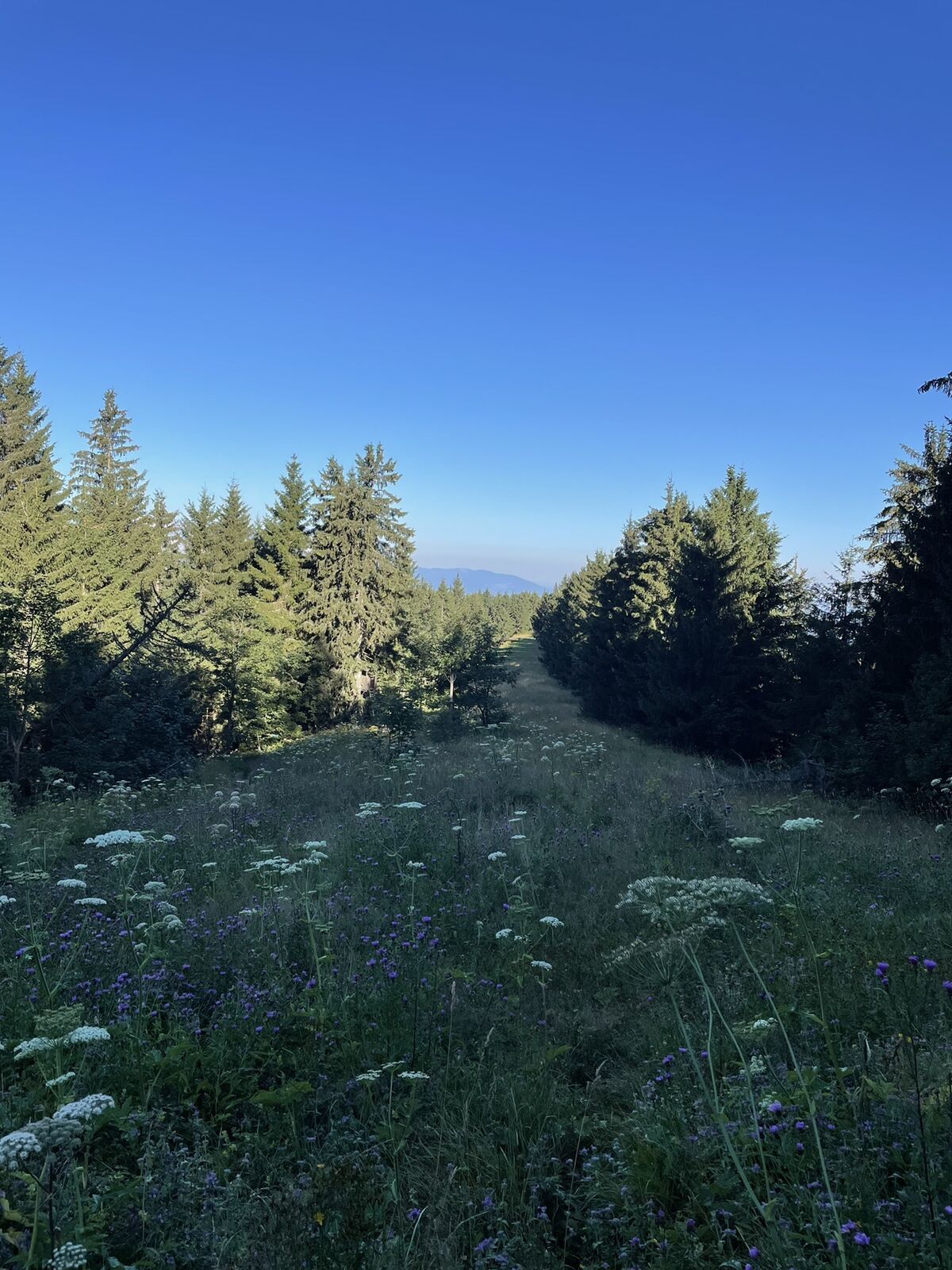
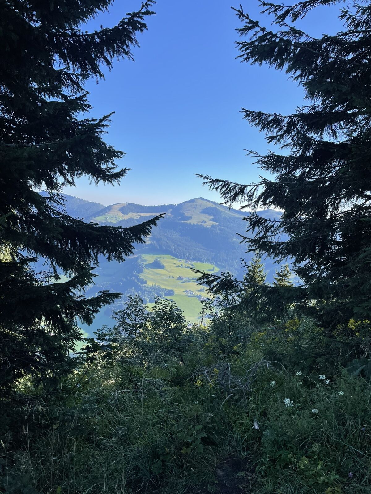
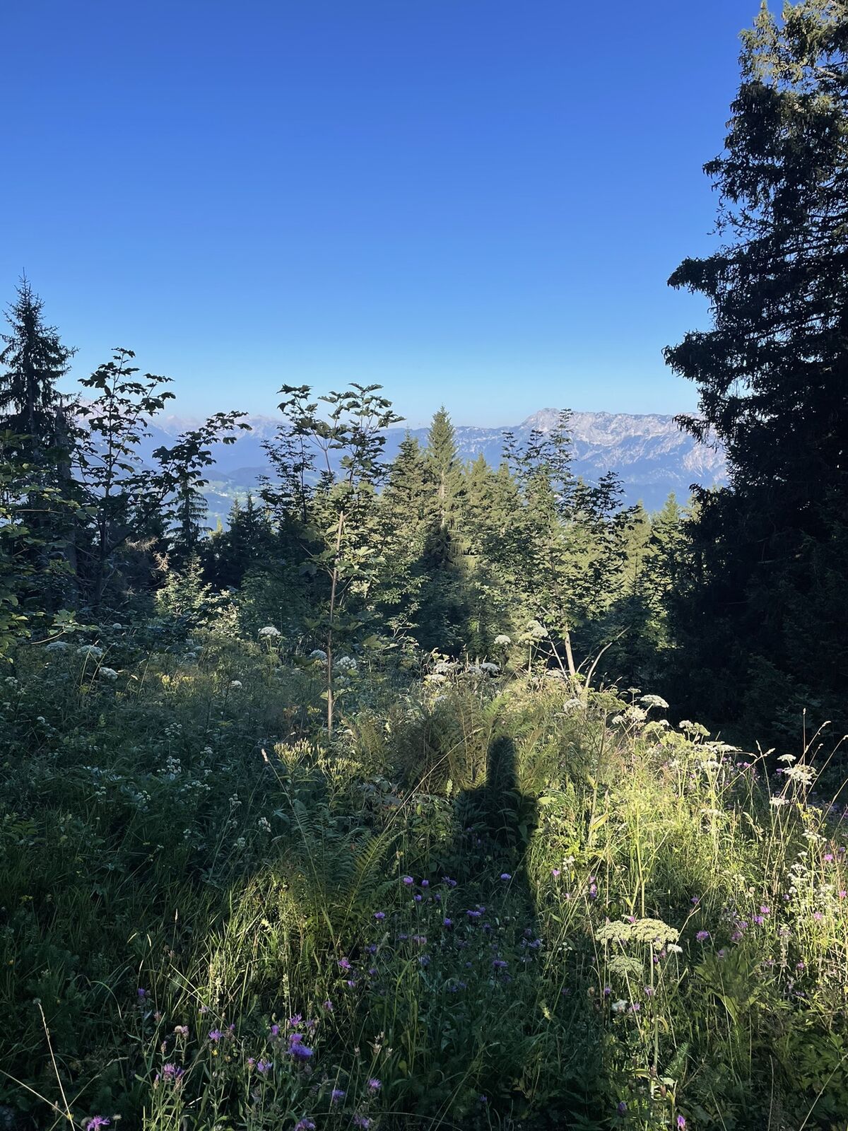
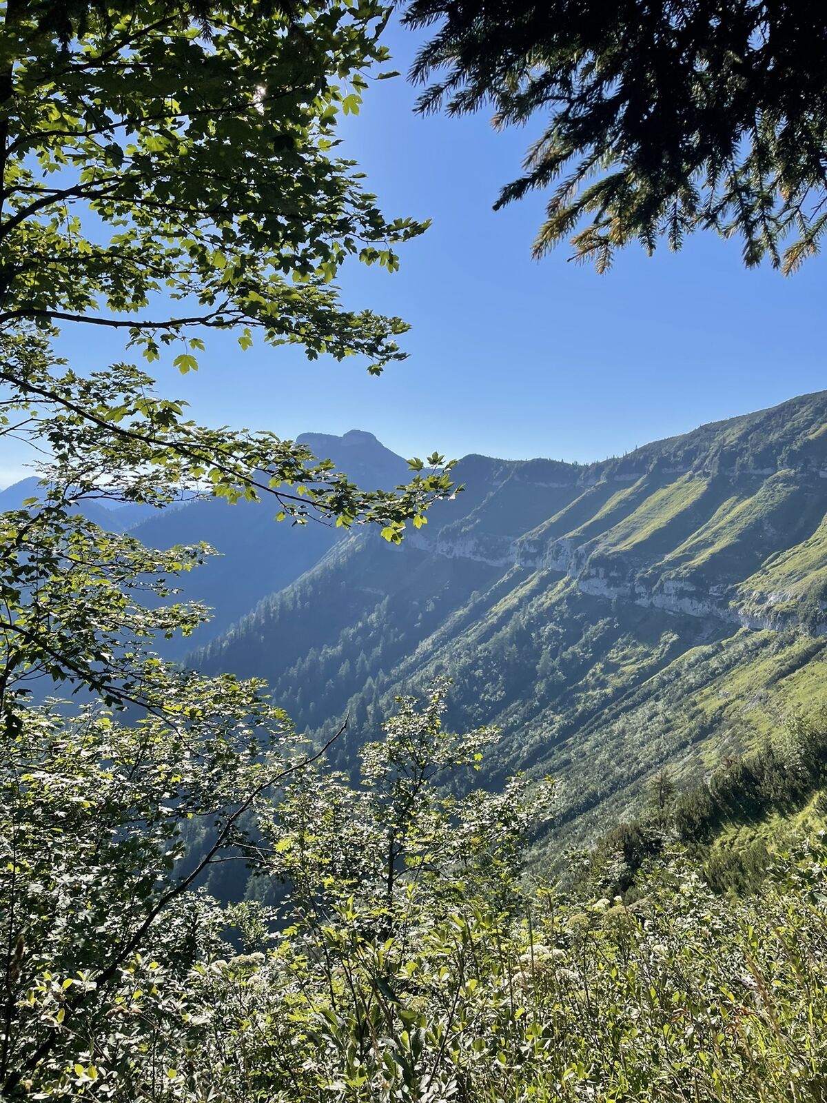
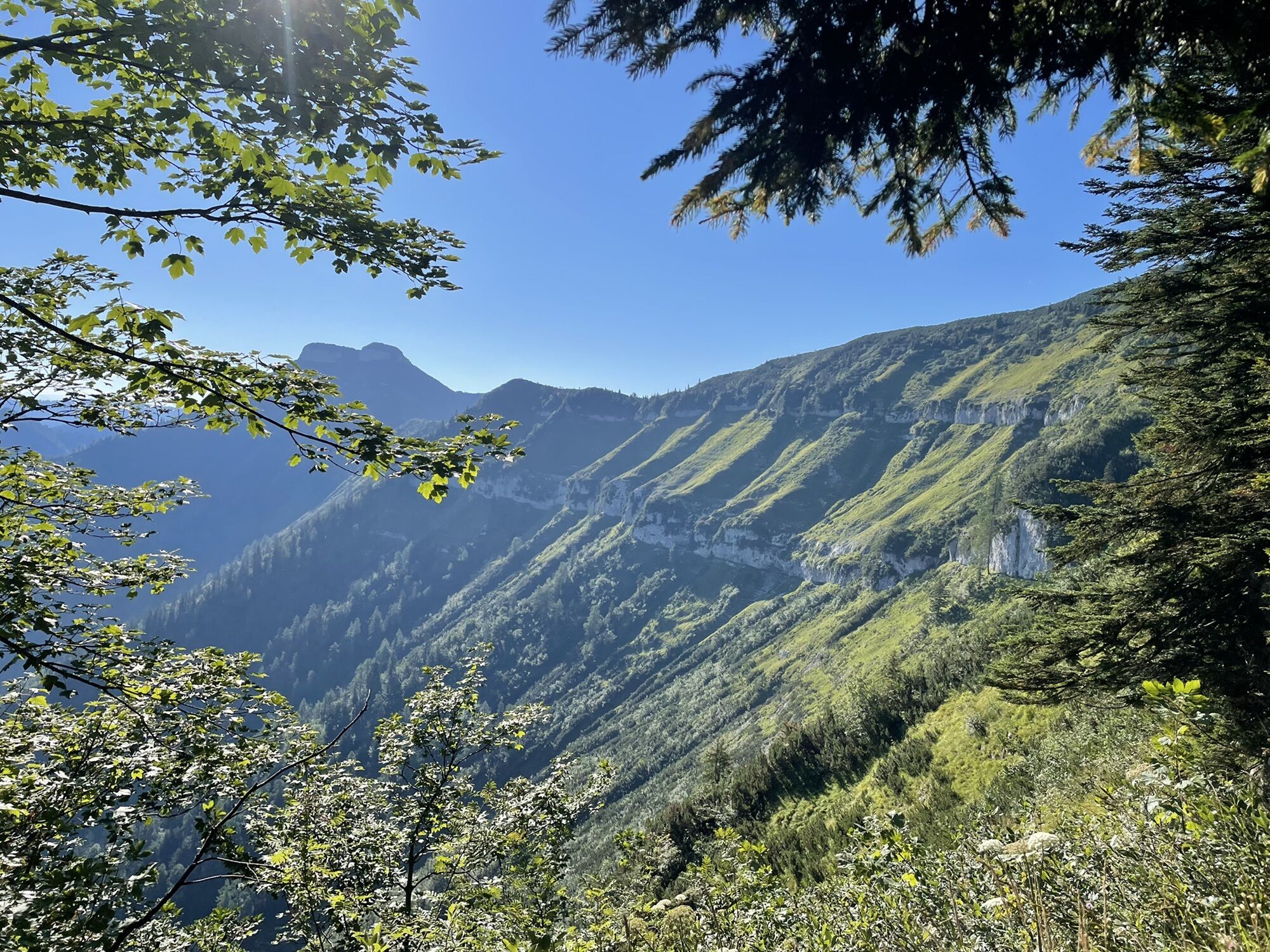
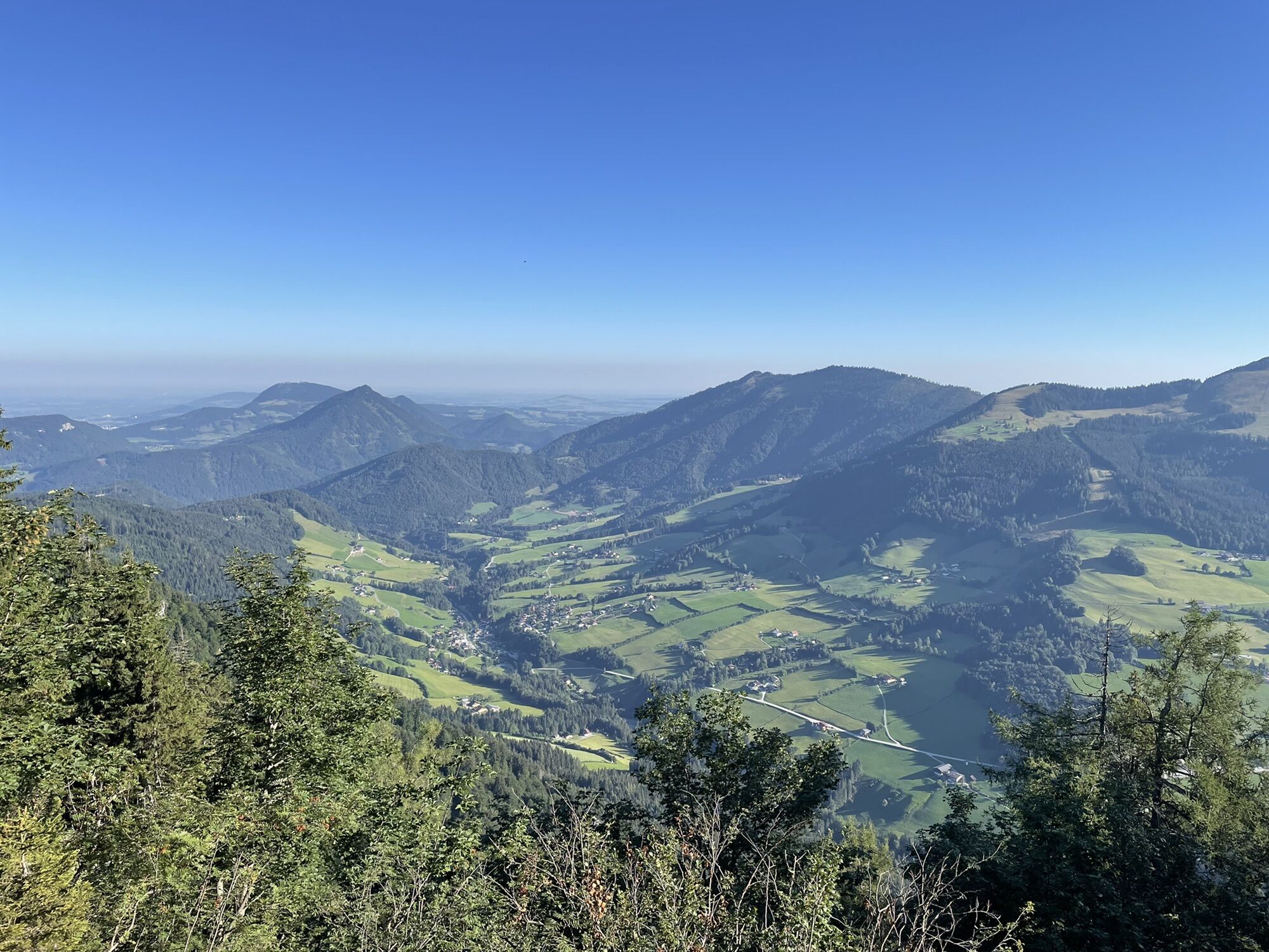
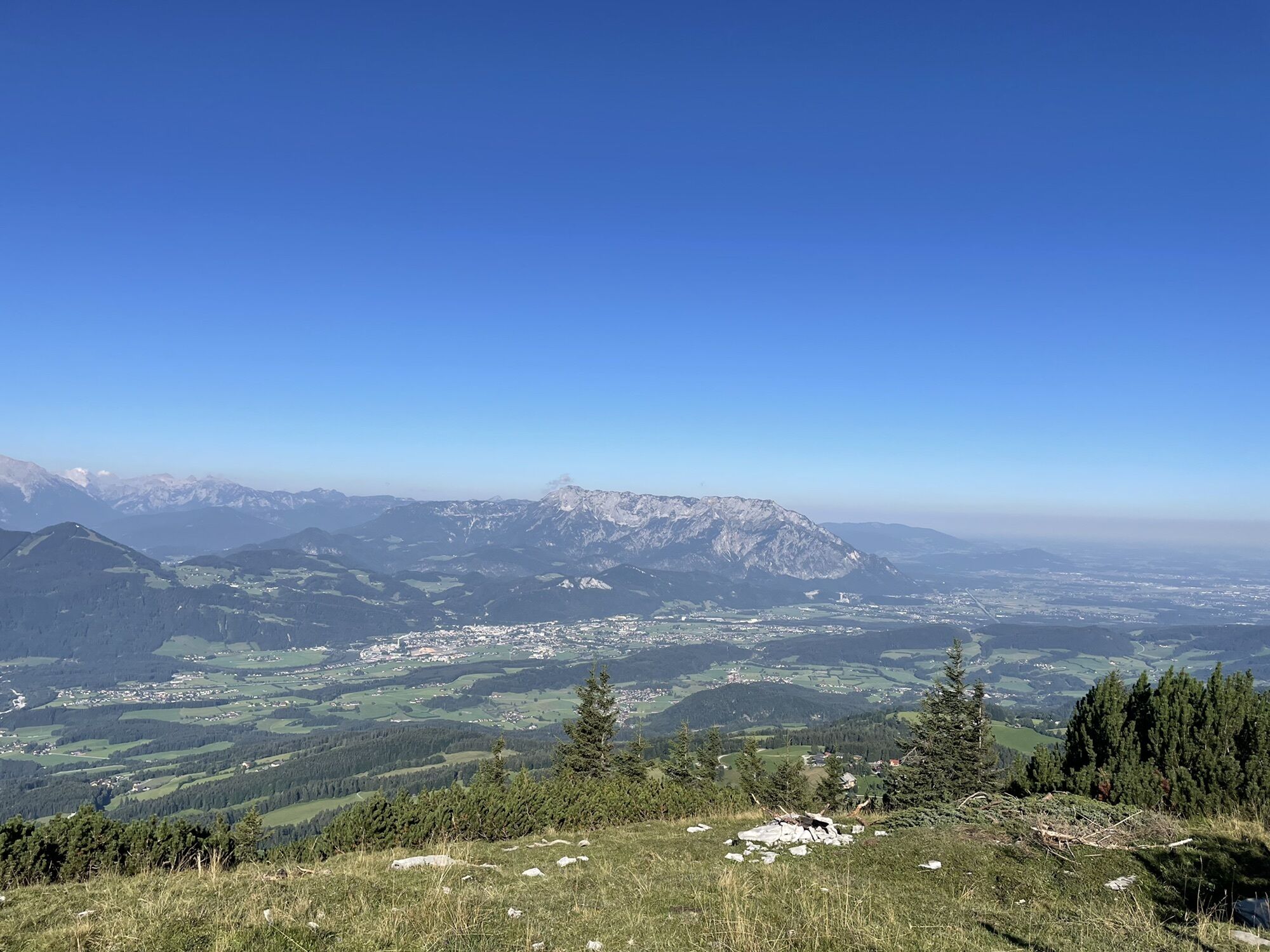
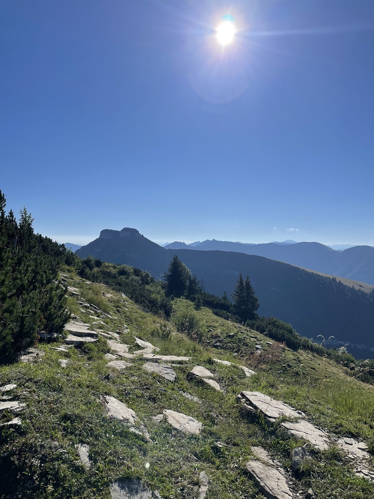
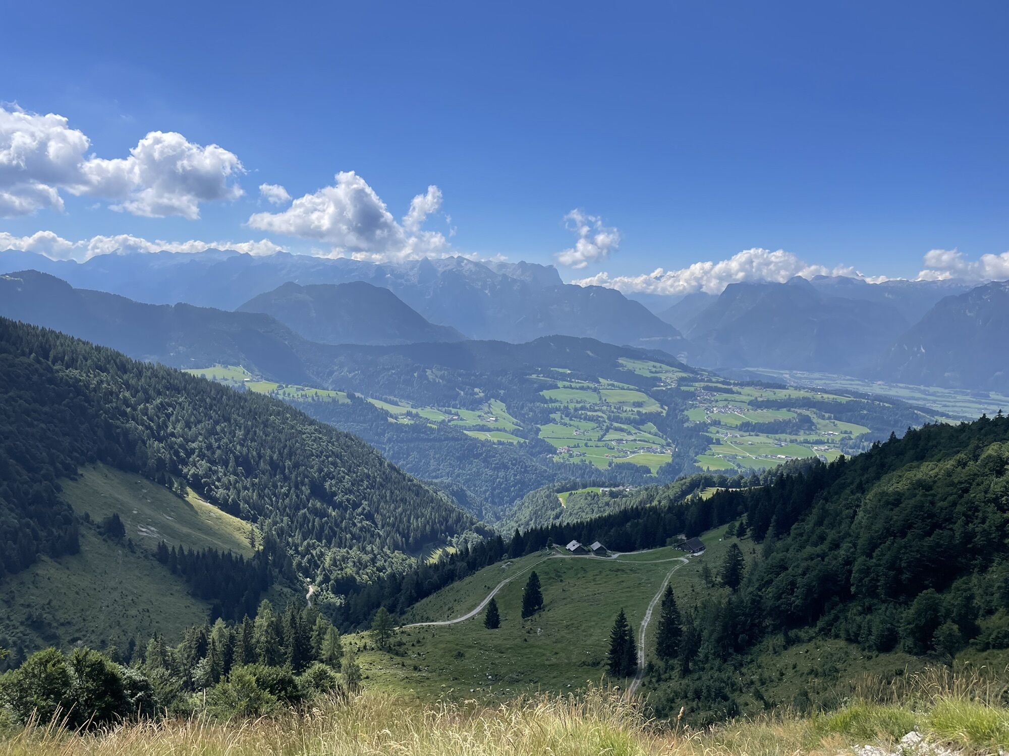
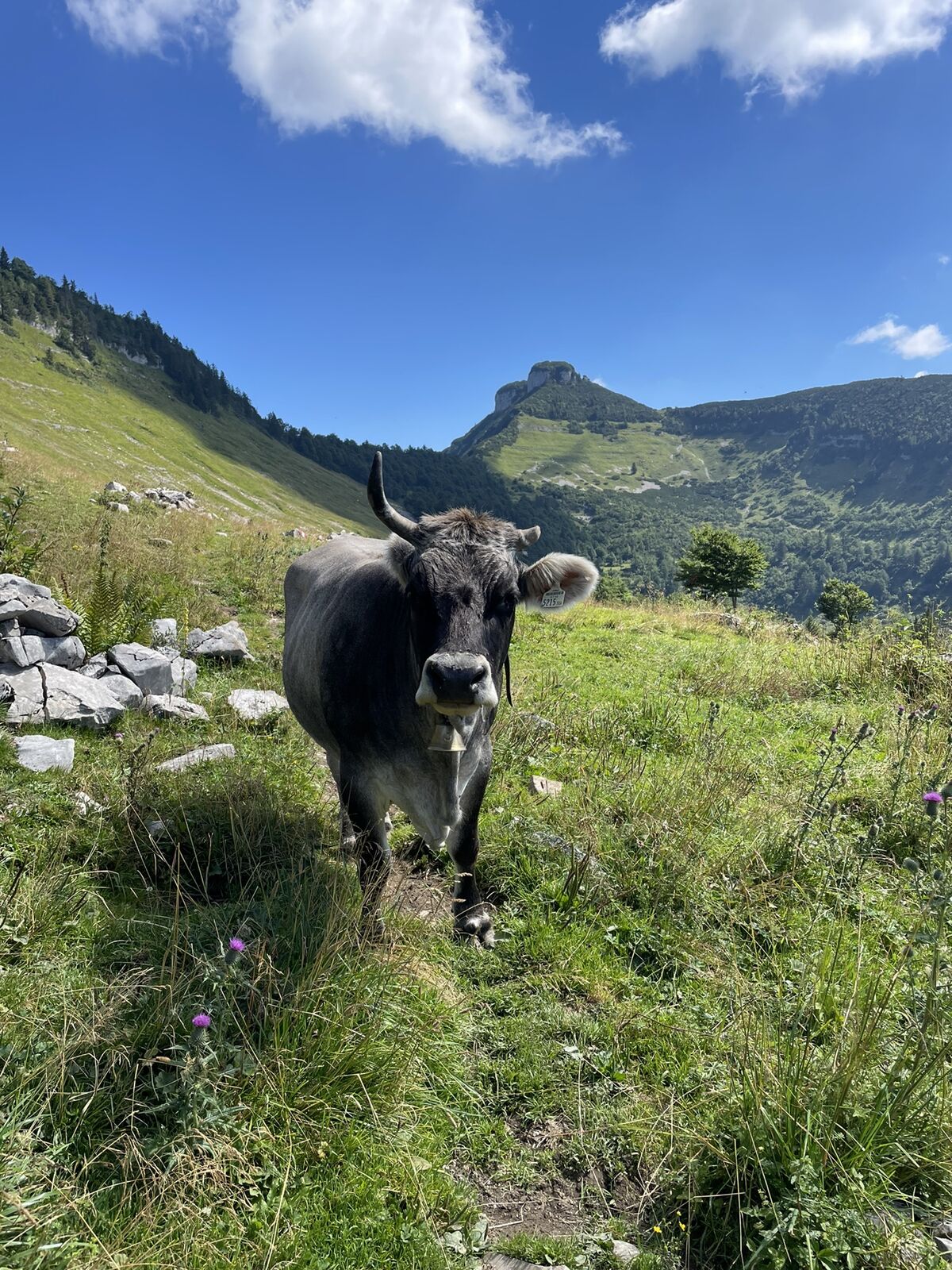
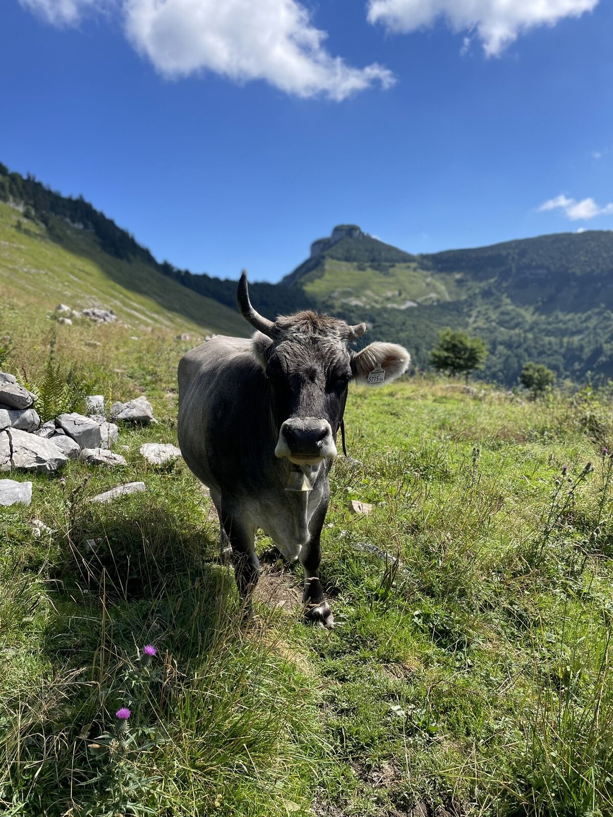
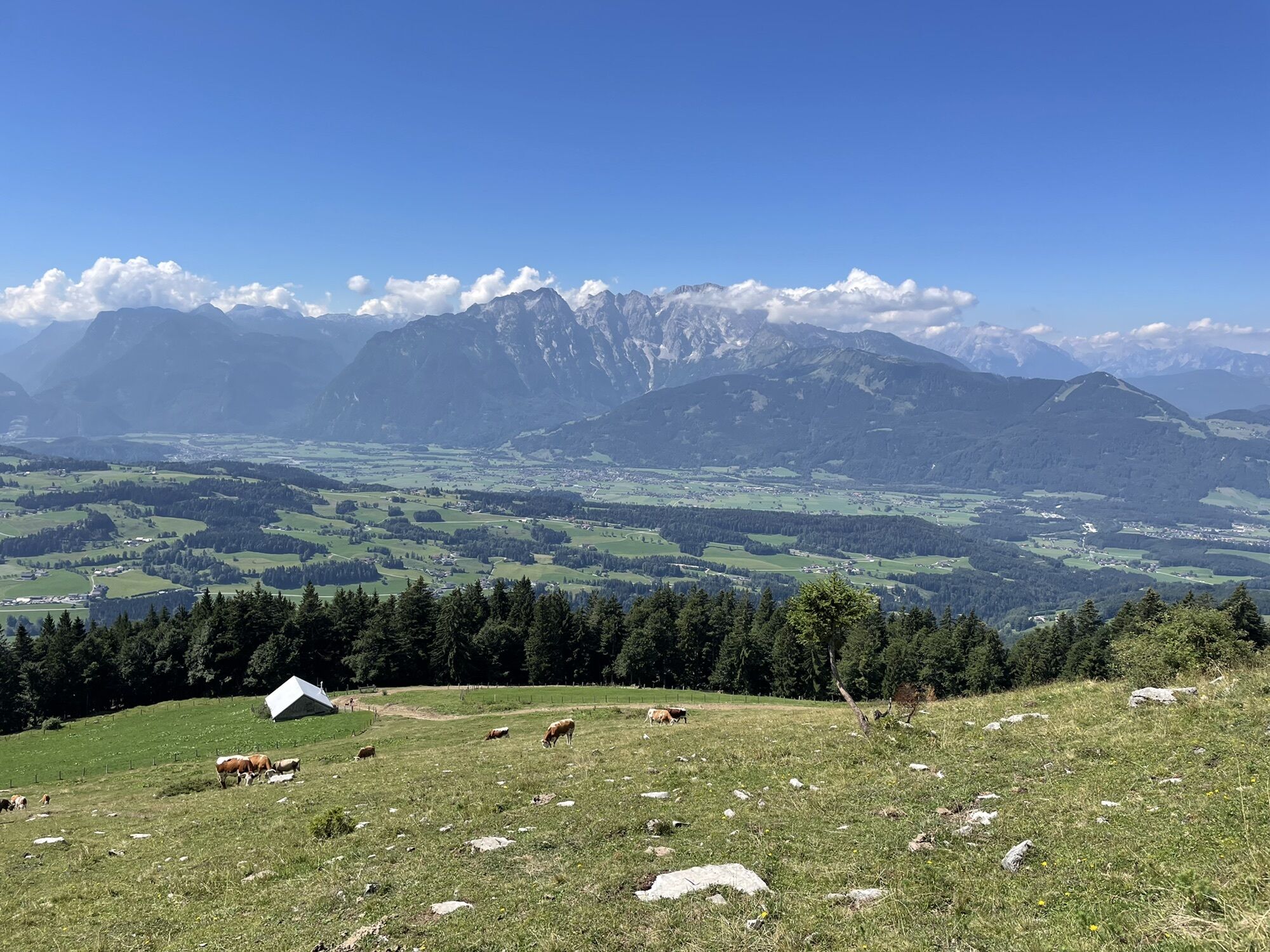
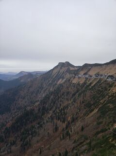
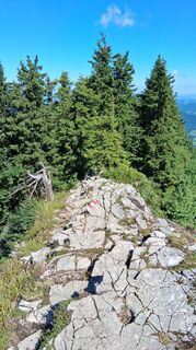
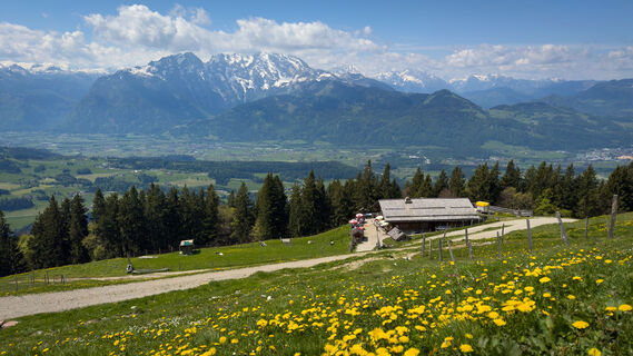
Fotos de nuestros usuarios
-

 © Thomas SchneiderCreado el 02.05.2026
 -
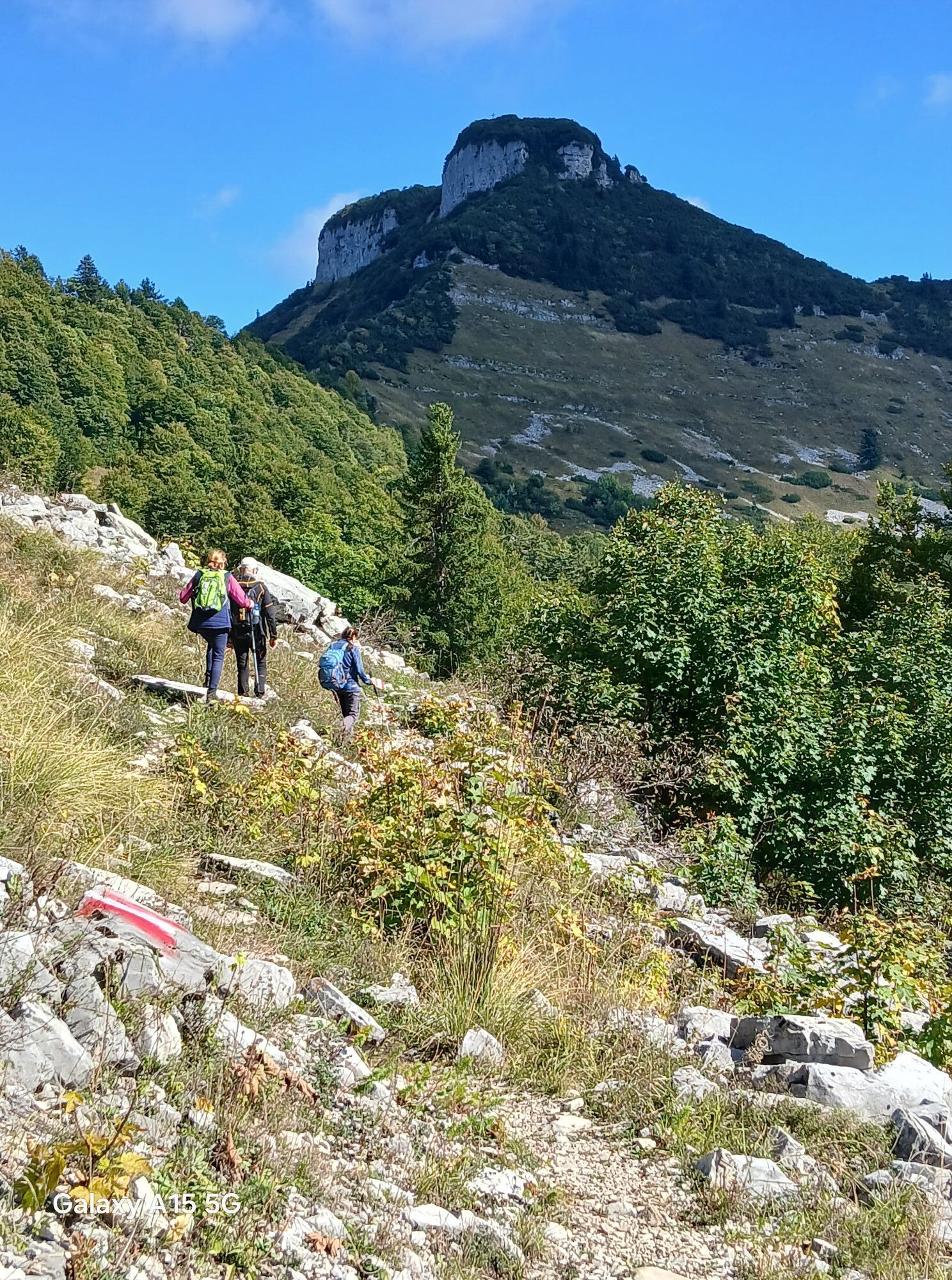
 © ChrisCreado el 07.03.2026
 -
 © ChrisCreado el 07.03.2026
 -
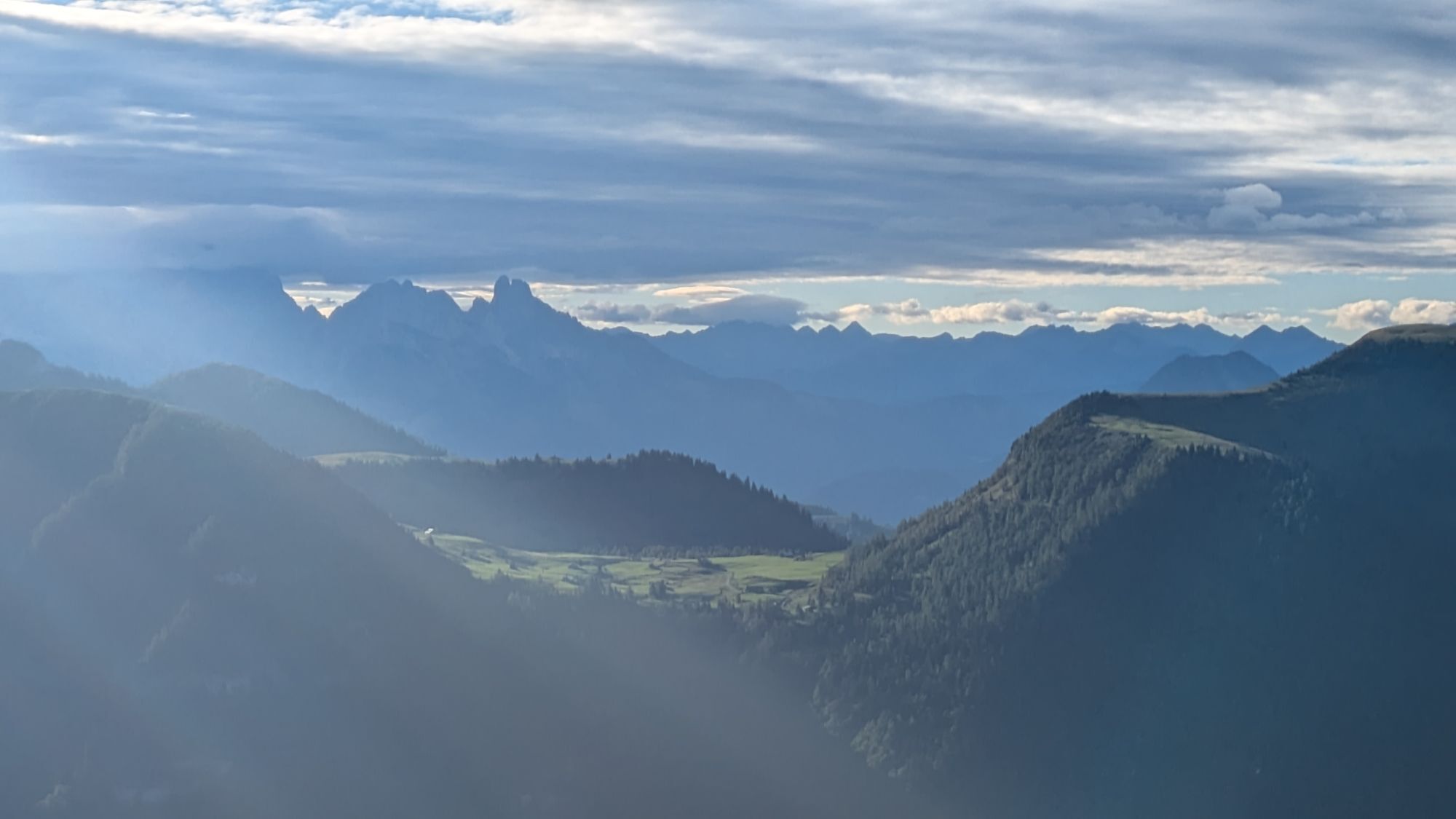
 © Günther ForsthuberCreado el 31.12.2025
 -
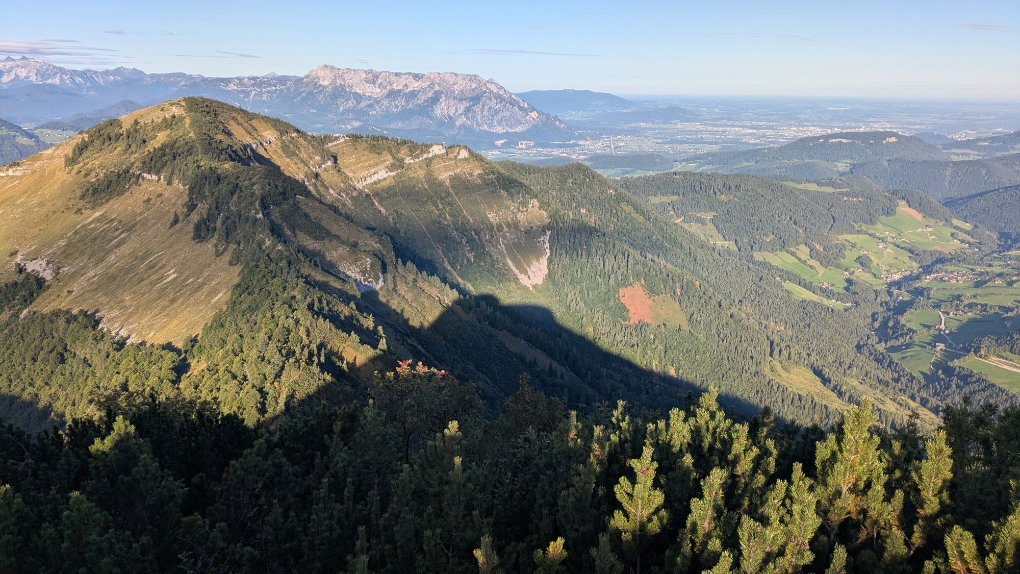
 © Günther ForsthuberCreado el 31.12.2025
 -
 © Günther ForsthuberCreado el 31.12.2025
 -
 © Günther ForsthuberCreado el 31.12.2025
 -
 © Günther ForsthuberCreado el 31.12.2025
 -
 © Günther ForsthuberCreado el 31.12.2025
 -
 © Günther ForsthuberCreado el 31.12.2025
 -
 © Günther ForsthuberCreado el 31.12.2025
 -
 © Günther ForsthuberCreado el 31.12.2025
 -
 © Günther ForsthuberCreado el 31.12.2025
 -
 © Günther ForsthuberCreado el 31.12.2025
 -
 © Günther ForsthuberCreado el 31.12.2025
 -
 © Günther ForsthuberCreado el 31.12.2025
 -
 © Christoph KreuzerCreado el 29.12.2025
 -
 © Christoph KreuzerCreado el 29.12.2025
 -
 © Christoph KreuzerCreado el 29.12.2025
 -
 © Walter KöllnerCreado el 13.12.2025
 -
 © Walter KöllnerCreado el 13.12.2025
 -
 © Walter KöllnerCreado el 13.12.2025
 -
 © Walter KöllnerCreado el 13.12.2025
 -
 © Walter KöllnerCreado el 13.12.2025
 -

 © Heinz SperlCreado el 12.11.2025
 -
 © Heinz SperlCreado el 12.11.2025
 -
 © Heinz SperlCreado el 12.11.2025
 -
 © Heinz SperlCreado el 12.11.2025
 -
 © Heinz SperlCreado el 12.11.2025
 -
 © Heinz SperlCreado el 12.11.2025
 -
 © Heinz SperlCreado el 12.11.2025
 -
 © Heinz SperlCreado el 12.11.2025
 -
 © Heinz SperlCreado el 12.11.2025
 -
 © Heinz SperlCreado el 12.11.2025
 -
 © Heinz SperlCreado el 12.11.2025
 -
 © Helmut RosenlechnerCreado el 03.10.2025
 -
 © Helmut RosenlechnerCreado el 03.10.2025
 -
 © jsCreado el 18.09.2025
 -
 © jsCreado el 18.09.2025
 -
 © jsCreado el 18.09.2025
 -
 © jsCreado el 18.09.2025
 -
 © jsCreado el 18.09.2025
 -
 © ReginaStCreado el 06.09.2025
 -
 © ReginaStCreado el 06.09.2025
 -
 © ReginaStCreado el 06.09.2025
 -
 © ReginaStCreado el 06.09.2025
 -
 © ReginaStCreado el 06.09.2025
 -
 © ReginaStCreado el 06.09.2025


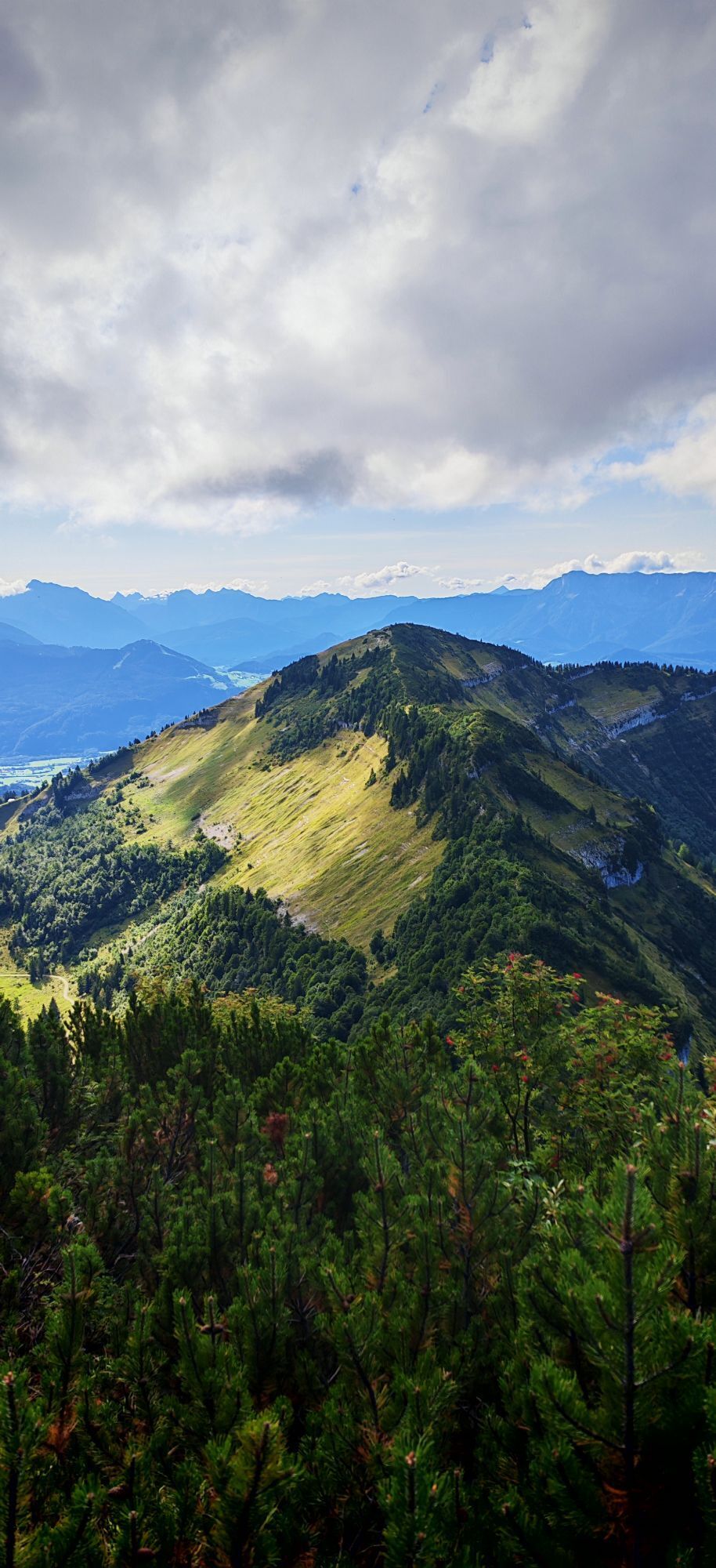

A lovely varied hike, well worth doing.
Ruta
Halleinerhütte
(1.144 m)
Refugio
0,0 km
Rengerberg
(1.507 m)
Cumbre
2,3 km
Schlenken
(1.648 m)
Cumbre
3,2 km
Schlenken-Durchgangshöhle (Süd)
(1.550 m)
Entrada de la cueva
3,9 km
Schmittenstein
(1.695 m)
Cumbre
5,3 km
Zillhütte
(1.380 m)
Refugio
8,2 km
Ruta
Schlenken and Schmittenstein hike
pesado
Senderismo
10,86
km
Halleinerhütte
(1.144 m)
Refugio
0,0 km
Formau
(1.230 m)
Liquidación
0,7 km
Rengerberg
(1.507 m)
Cumbre
2,3 km
Jägernase
(1.507 m)
Cumbre
2,7 km
Schlenken
(1.648 m)
Cumbre
3,2 km
Schlenken-Durchgangshöhle (Süd)
(1.550 m)
Entrada de la cueva
3,9 km
Schlenken-Durchgangshöhle Nord
(1.555 m)
Entrada de la cueva
3,9 km
Schmittenstein
(1.695 m)
Cumbre
5,3 km
Schlenkenalmen
(1.367 m)
Liquidación
7,9 km
Zillhütte
(1.380 m)
Refugio
8,2 km
Schlenkenrinne
(1.335 m)
Corredor/terreno
8,7 km
Formau
(1.230 m)
Liquidación
9,9 km
Halleinerhütte
(1.144 m)
Refugio
10,8 km
Compartir gira
Schlenken and Schmittenstein hike
pesado
Senderismo
10,86
km
Error
Se ha producido un error. Por favor, inténtelo de nuevo.


Último seguimiento
hace una semana
Equipamiento
Walking boots
Poles
Información de llegada
Aparcamiento
Just before Halleinerhutte
Información adicional y consejos
Consejos
Head for heights needed. There were a few exposed parts (protected by cable and rope). I wouldn’t recommend in wet/damp weather, could potentially get very slippery and there are some big drops if a slip occurred.
Avoid when there’s snow/Ice unless you have experience and the right equipment.
Valoraciones
Actividades a lo largo del recorrido
-
Schlenken+Schmittenstein
08.05.2026 – Senderismo -

Adnet, Salzburg/Österreich
03.05.2026 – Senderismo -
Schenken & Schmittenstein
02.05.2026 – Senderismo de montaña -

Adnet, Salzburg/Österreich
25.04.2026 – Senderismo -

Rundweg Halleinerhütte - Schlenken - Schmittenstein - Halleinerhütte
15.11.2025 – Senderismo -

Adnet, Salzburgo/Austria
12.10.2025 – Senderismo -

Krispl, Salzburg/Österreich
28.08.2025 – Senderismo -
Adnet, Salzburg/Österreich
28.08.2025 – Senderismo -
Adnet, Salzburg/Österreich
27.08.2025 – Senderismo -

Adnet, Salzburg/Österreich
29.06.2025 – Senderismo -

Jägernase, Salzburg/Österreich
28.04.2025 – Senderismo -

Schlenken
12.05.2024 – Senderismo de montaña
Rutas populares en los alrededores
-
4,7
Schwarzer Berg / Golling
medioSenderismo 2,54 km -
4,2
Fuschlseewanderung
luzSenderismo 11 km -
4,1
Pillstein Panorama Rundweg
luzSenderismo 3,40 km -
3,8
Durch die Almbachklamm nach Ettenberg
Senderismo 7,54 km -
4,1
Untersberg, Toni-Lenz-Hütte
Senderismo 4,86 km -
4,4
Desde Koppl a la cima de Gaisberg
medioSenderismo 9,86 km -
4,9
Hoher Göll über Mannlsteig
medioSenderismo 16 km -
4,8
Almbachklamm zum Gasthof Dürrlehen
medioSenderismo 8,94 km -
4,8
Gennerhorn über Lämmerbach
medioSenderismo 10,2 km -
4,8
Von St. Gilgen aufs Zwölferhorn
medioSenderismo 10,4 km

Senderismo y rastreo

Más de 550.000 sugerencias de excursiones, mapas detallados y un intuitivo planificador de rutas hacen de esta aplicación una herramienta imprescindible para todos los amantes de la naturaleza.

No se pierda las ofertas y la inspiración para sus próximas vacaciones
Suscribirse al boletín de noticias
Error
Se ha producido un error. Por favor, inténtelo de nuevo.
Gracias por inscribirse
Su dirección de correo electrónico se ha añadido a la lista de correo.
Viajes por Europa
Austria
Suiza
Alemania
Italia
Eslovenia
Francia
Países Bajos
Belgium
Polonia
Liechtenstein
República Checa
Slovakia
España
Croacia
Bosnia y Herzegovina
Luxemburgo
Andorra
Portugal
Iceland
United Kingdom
Ireland
Greece
Albania
North Macedonia
Malta
Norway
Montenegro
Moldova
Kosovo
Hungary
San Marino
Romania
Estonia
Latvia
Belarus
Cyprus
Lithuania
Serbia
Bulgaria
Monaco
Denmark
Sweden
Finland