


4 Summit Heights Circuit Trail (No.:69-70)(19 points)

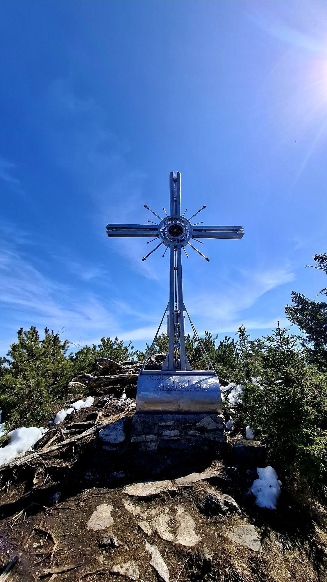
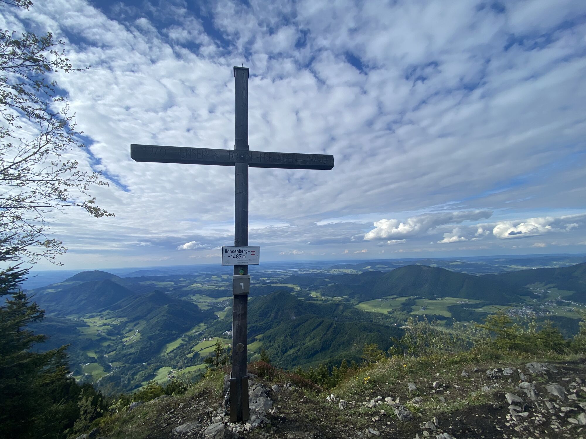
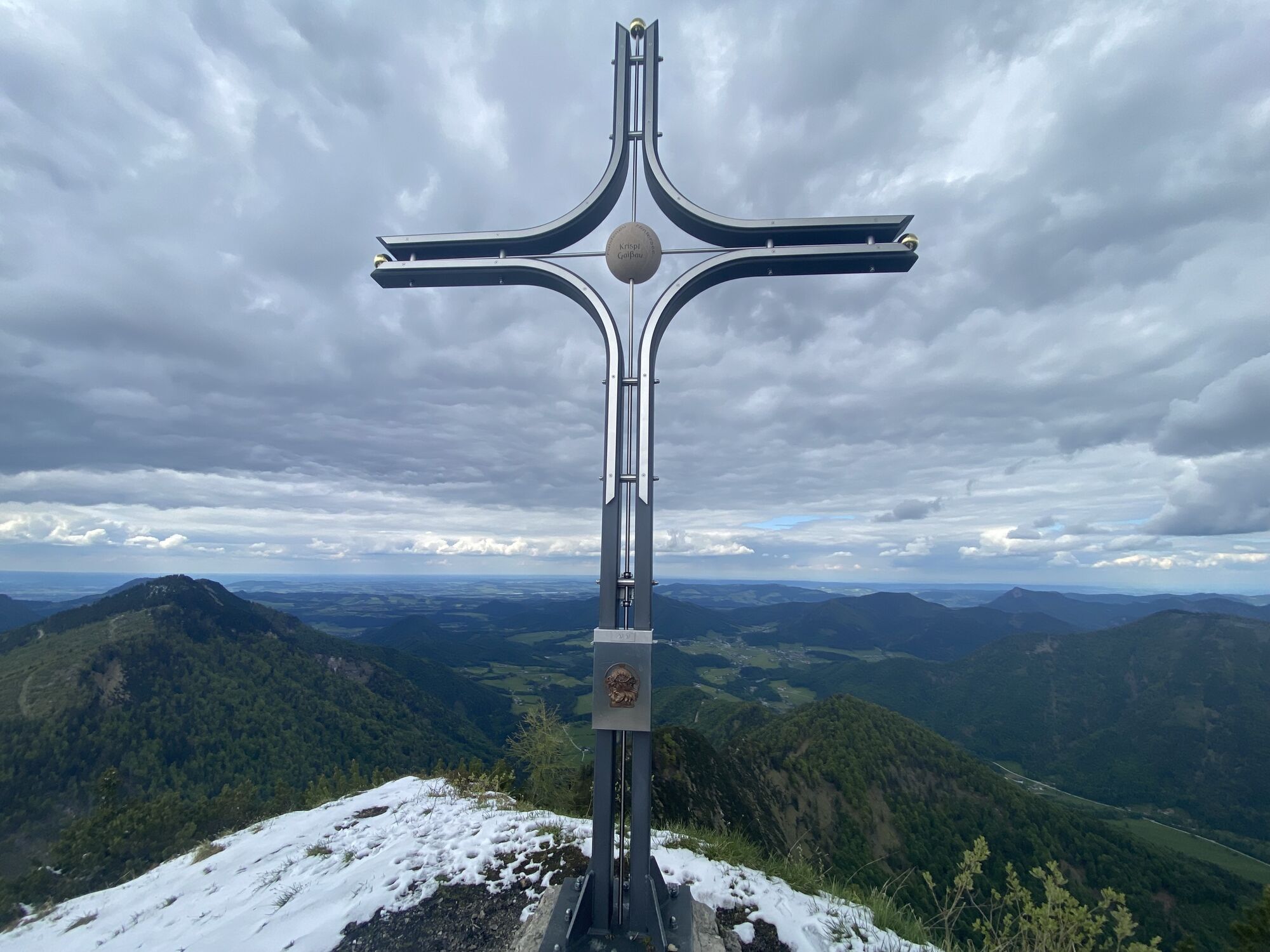
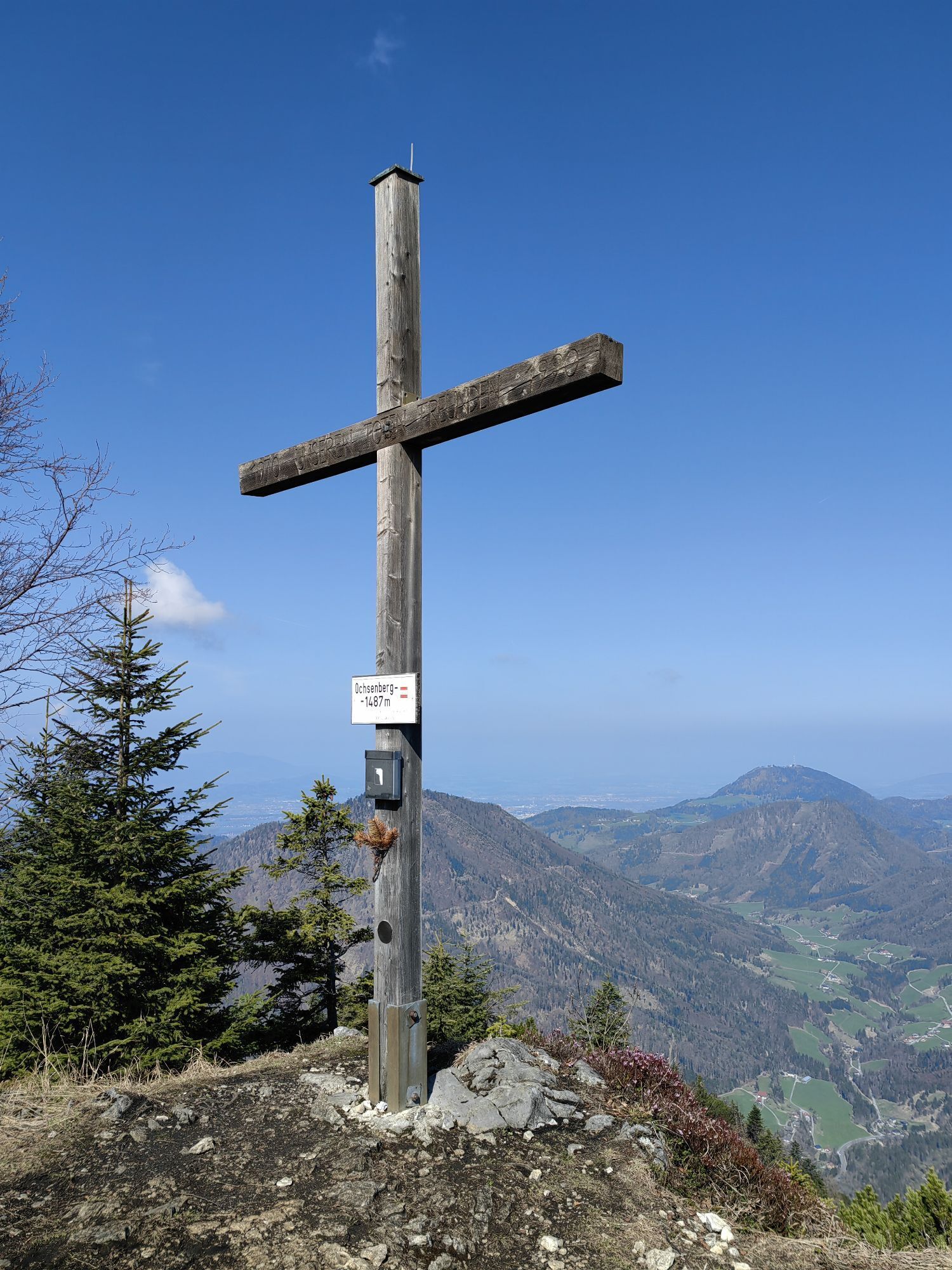
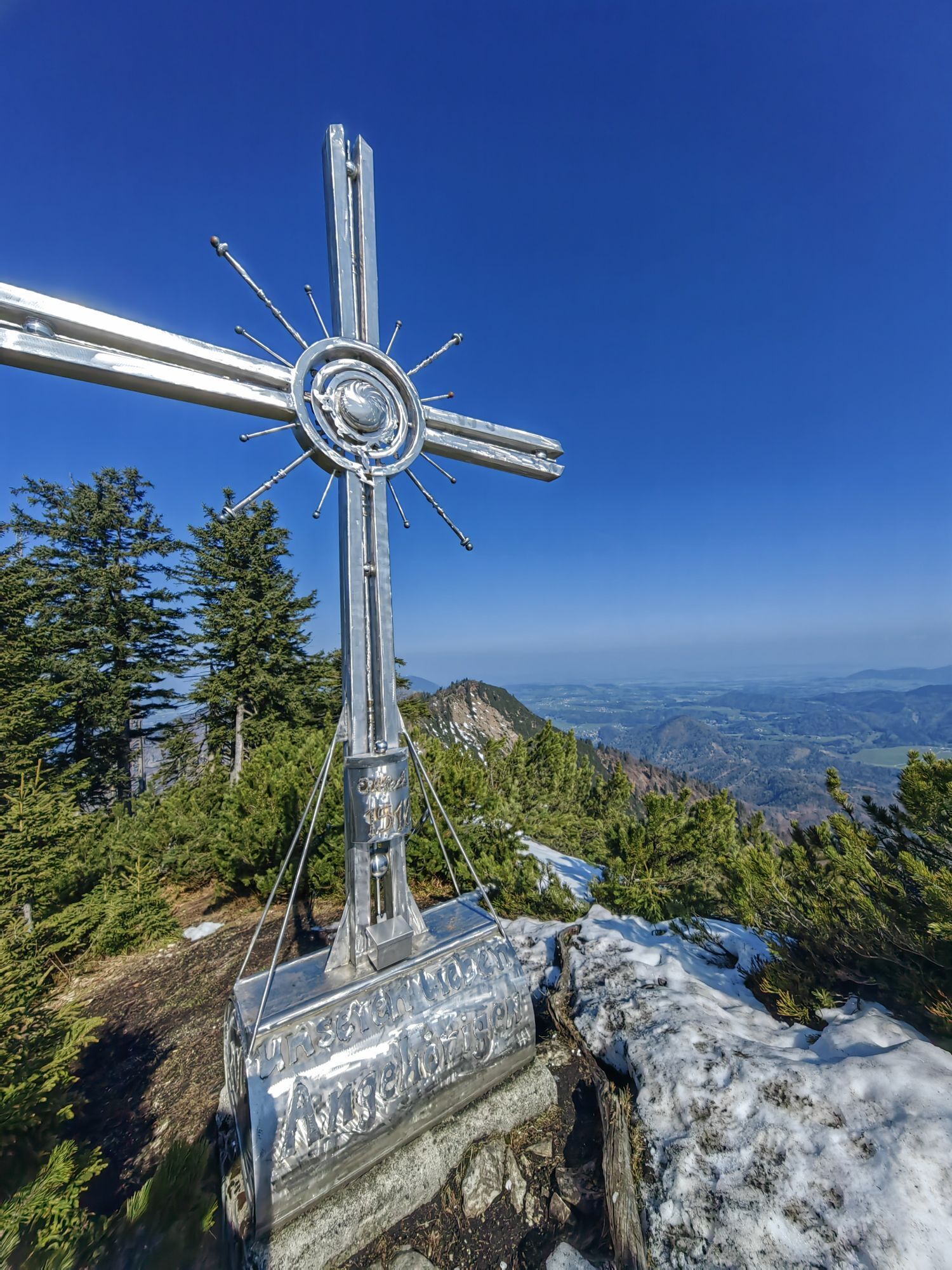
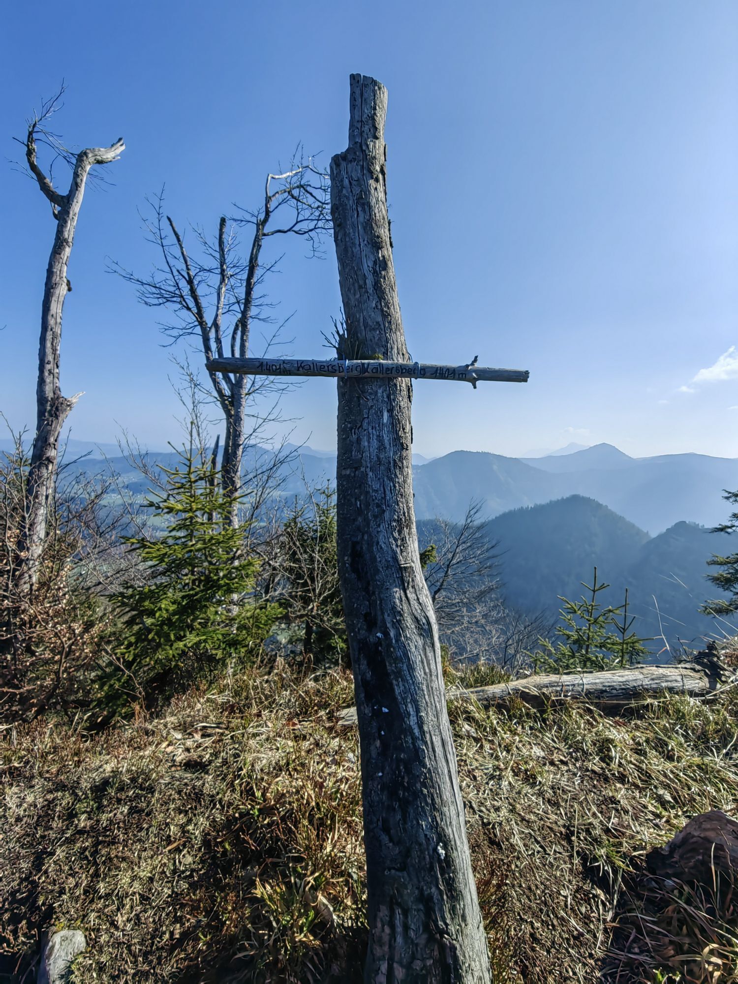
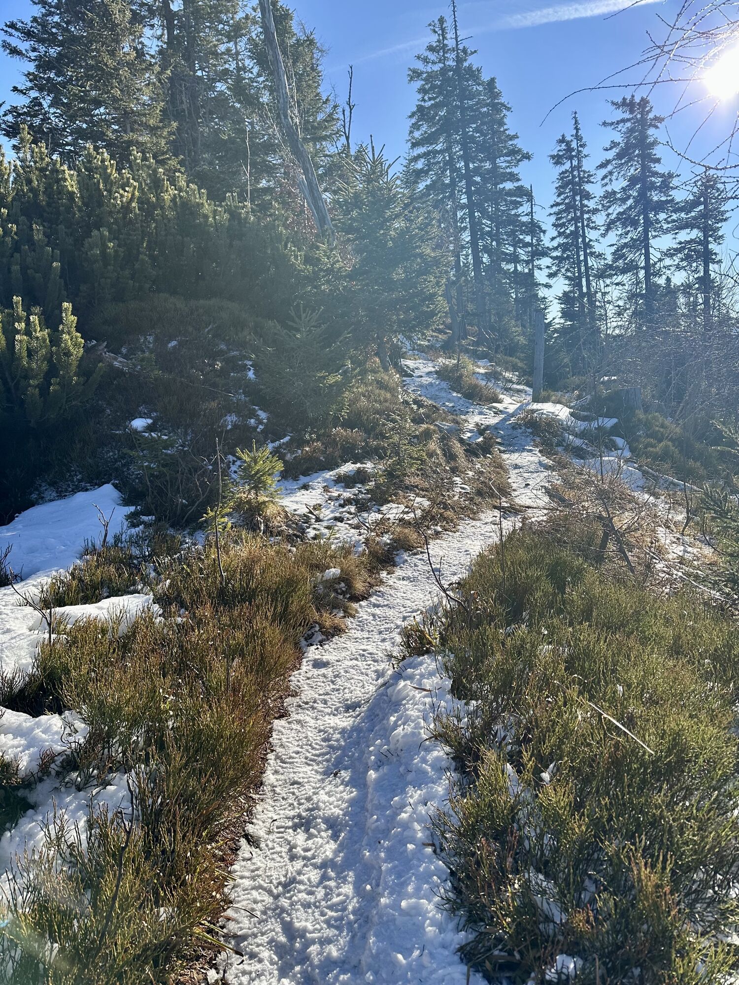
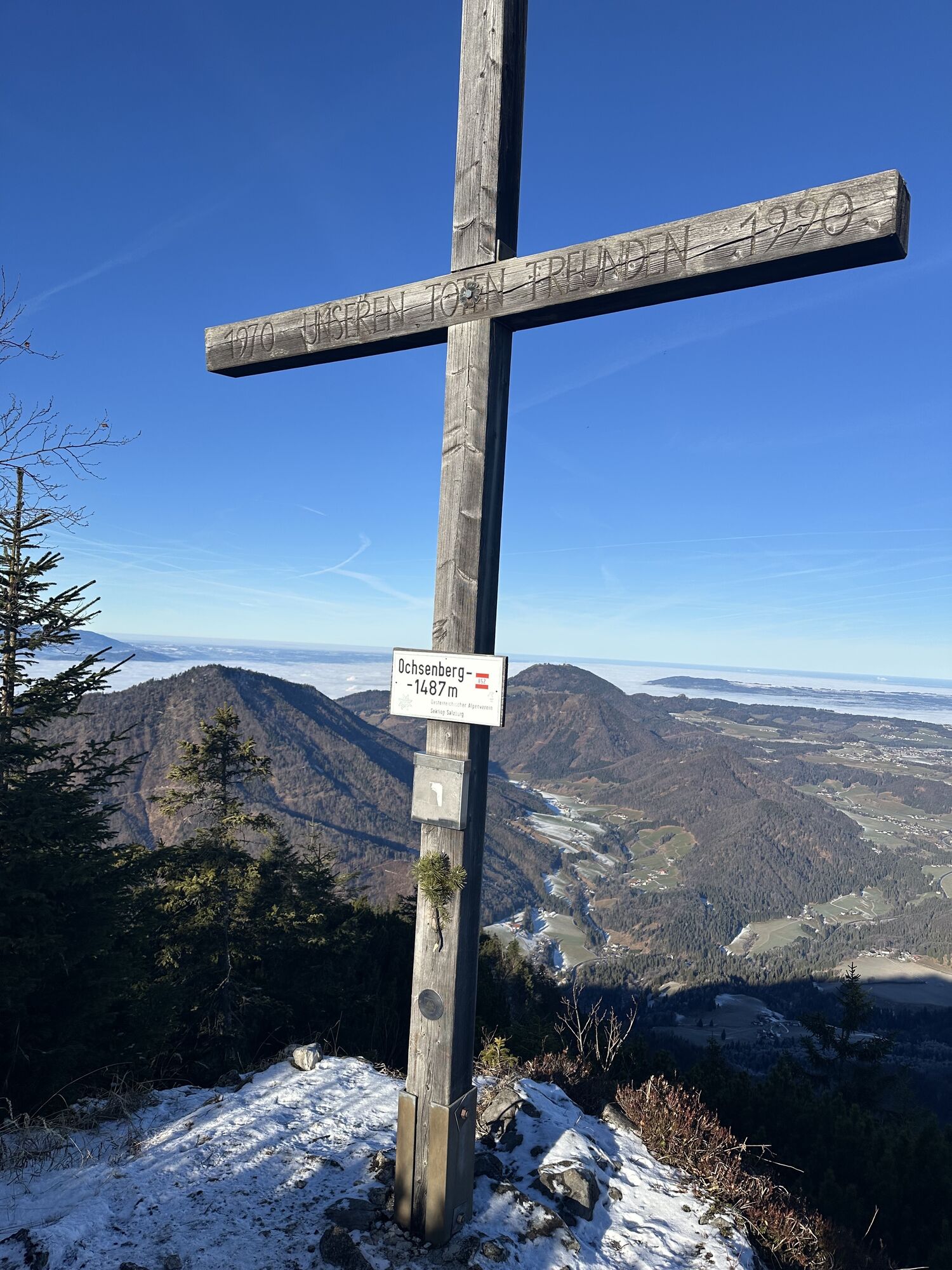

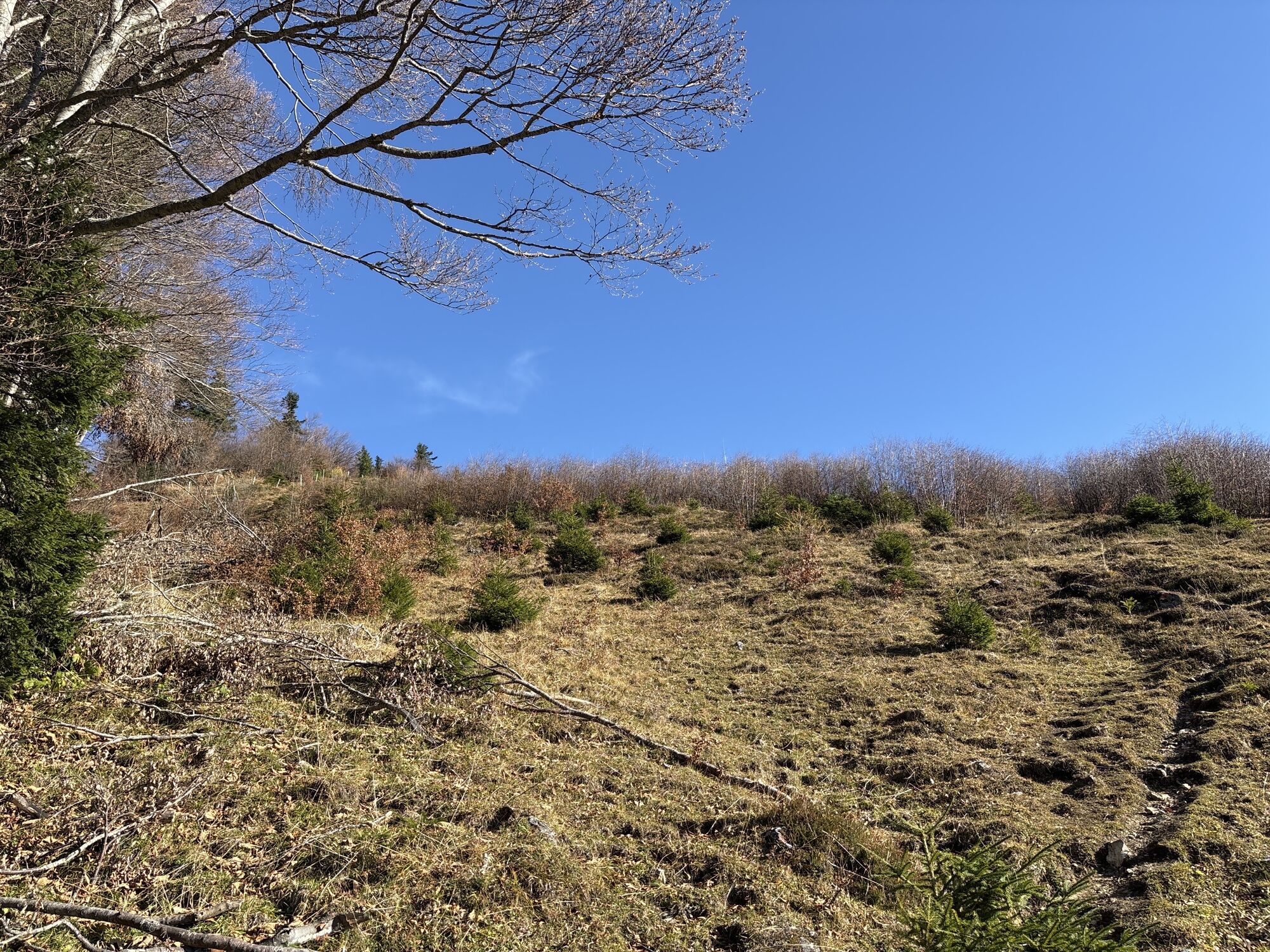
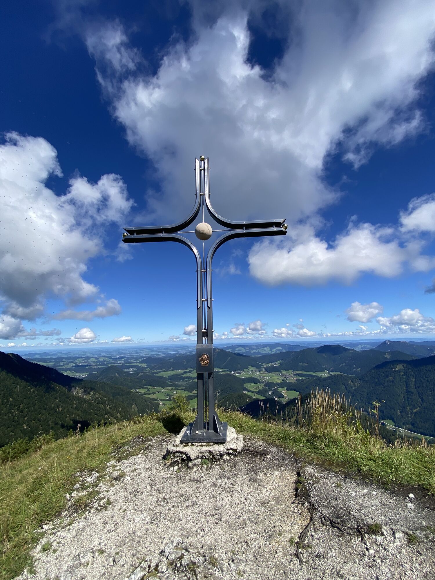
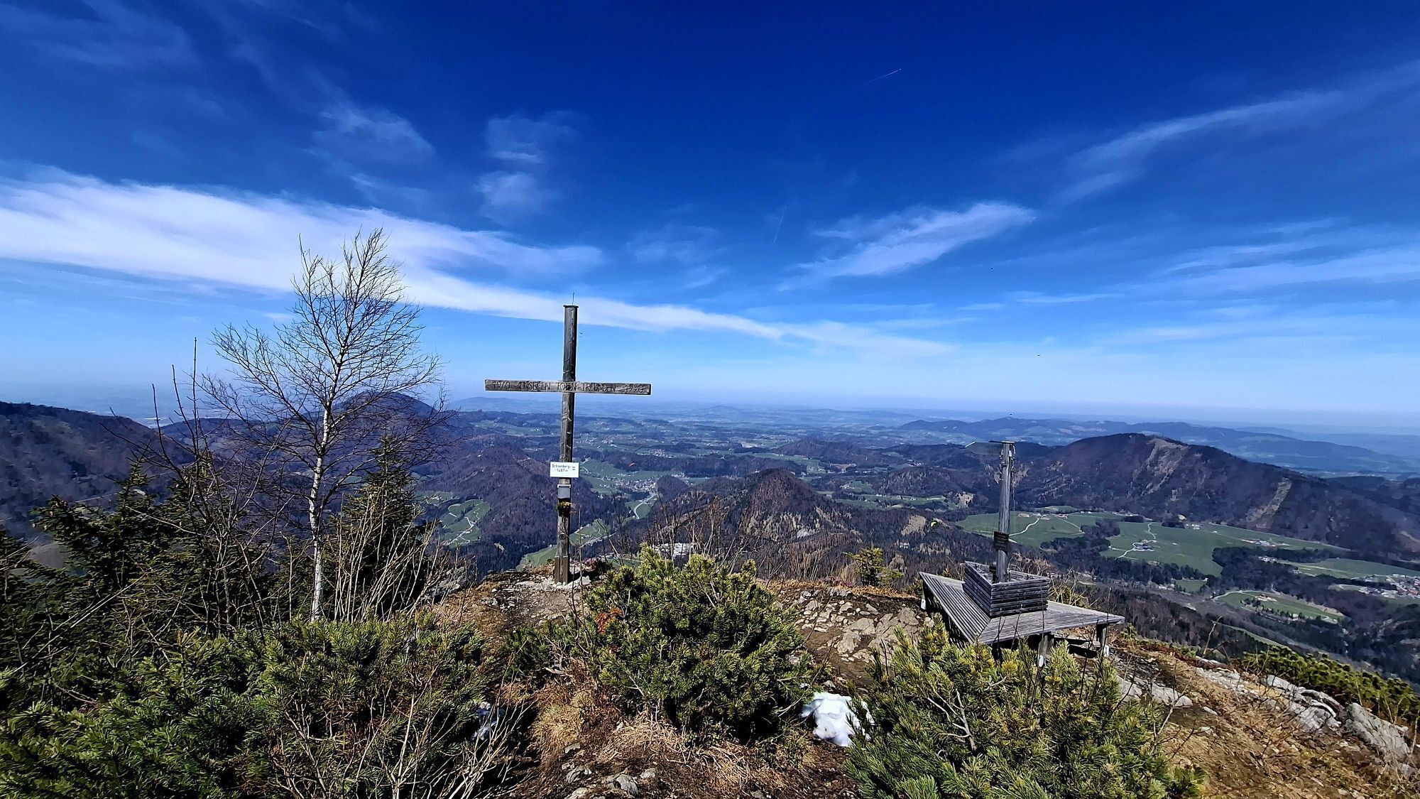
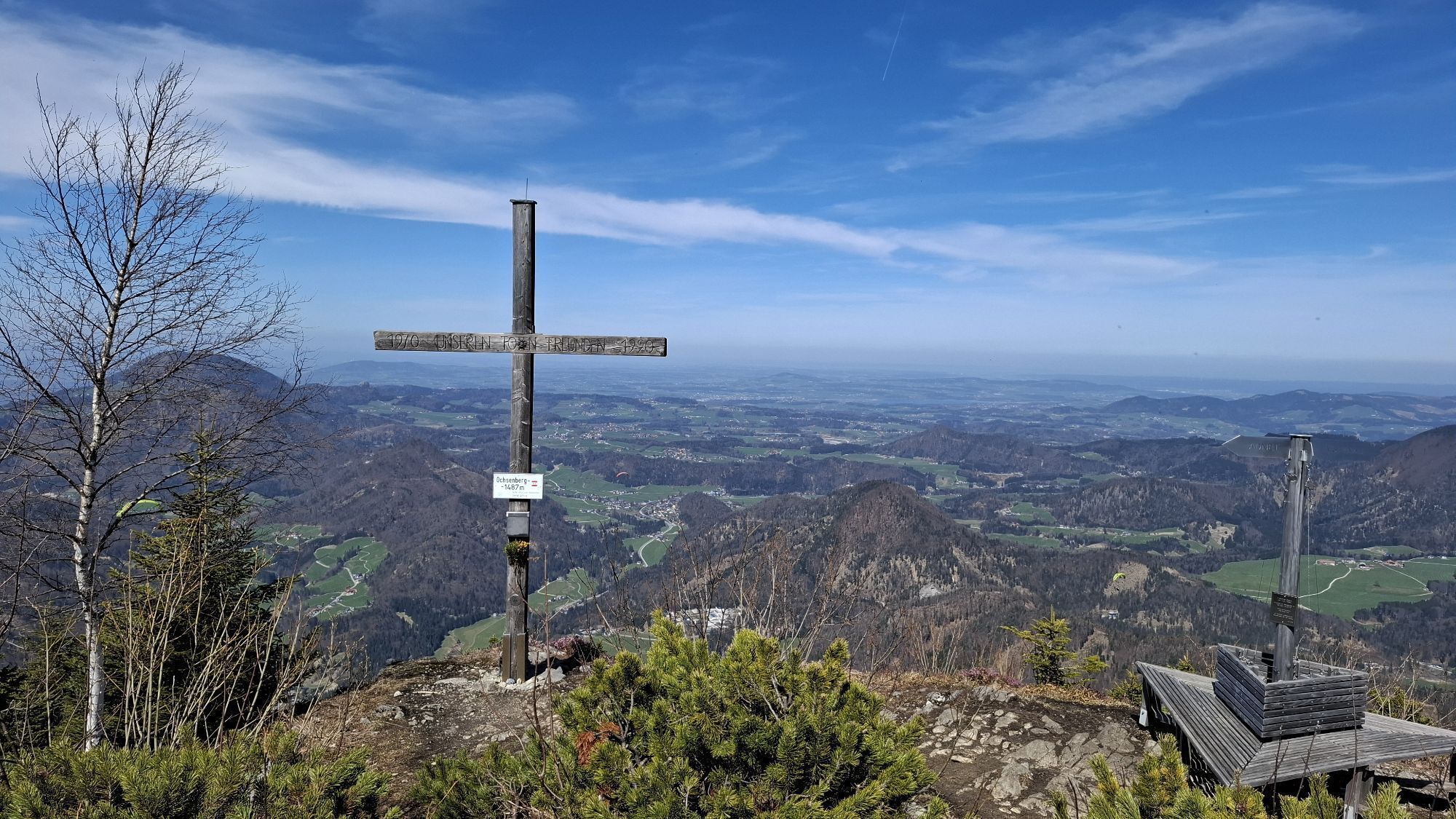

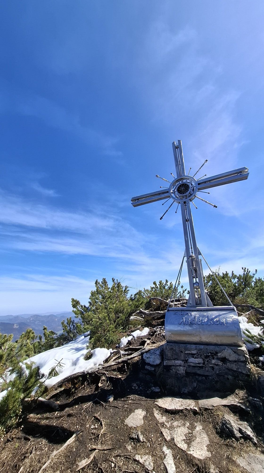
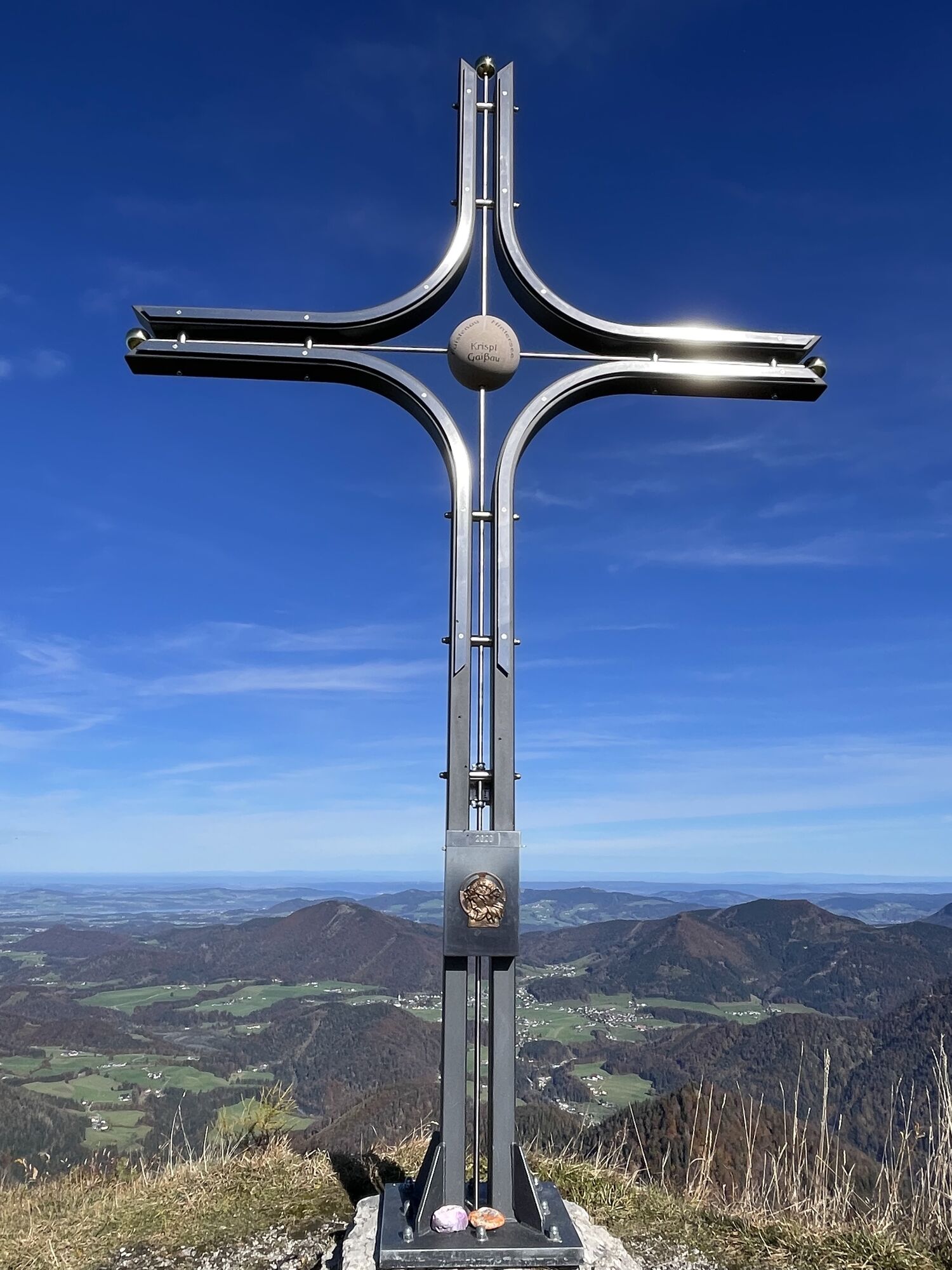
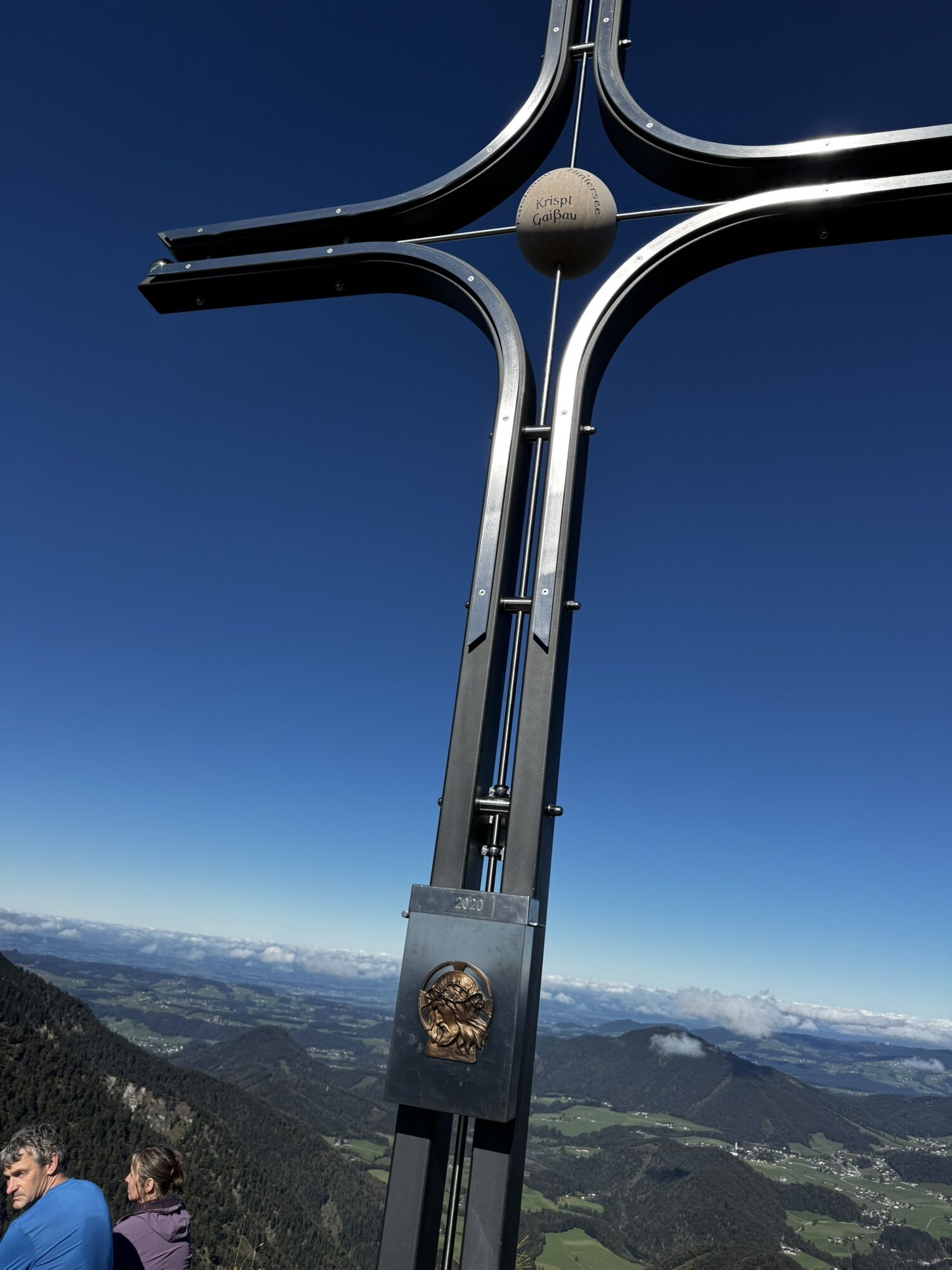
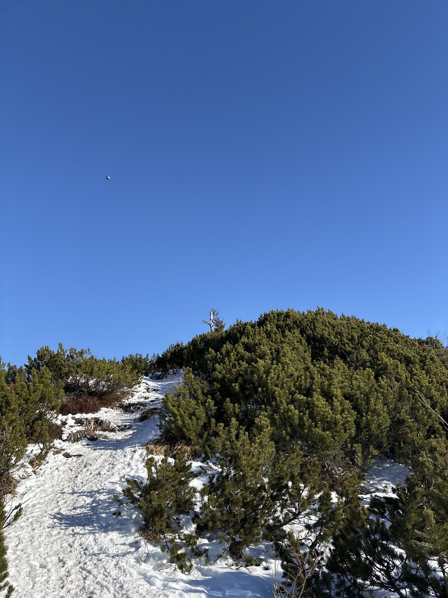

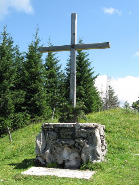
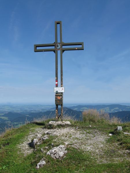
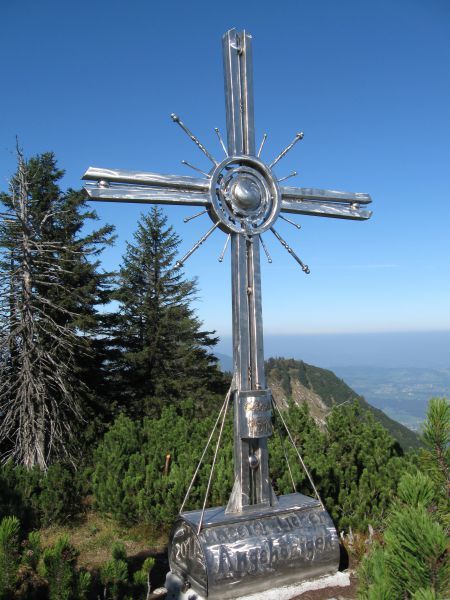
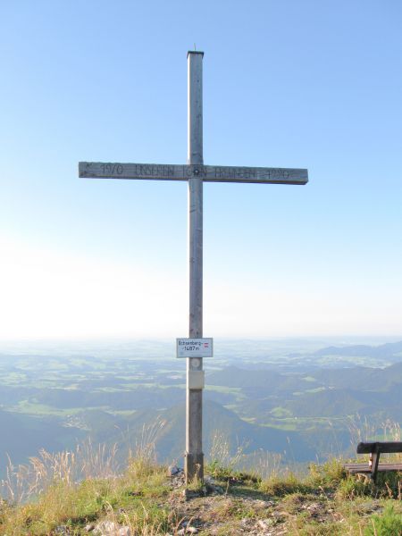
From the Spielbergstrasse tollbooth via the Eibleck turnoff to the Eibleckalmen. Continue on the path to the Ochsenberg. Then you come to the Eibleck with the new summit cross. Further over the Kallersberg...
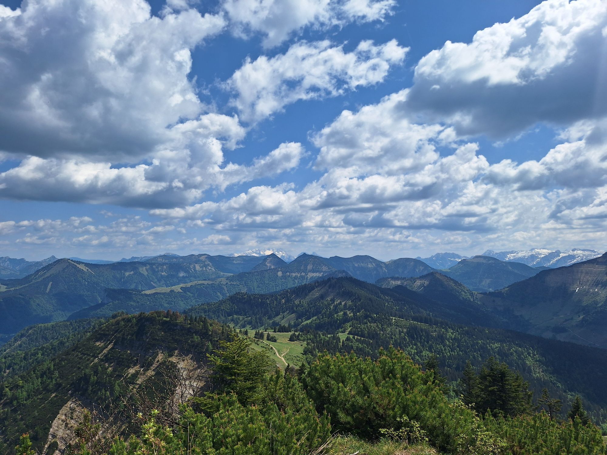
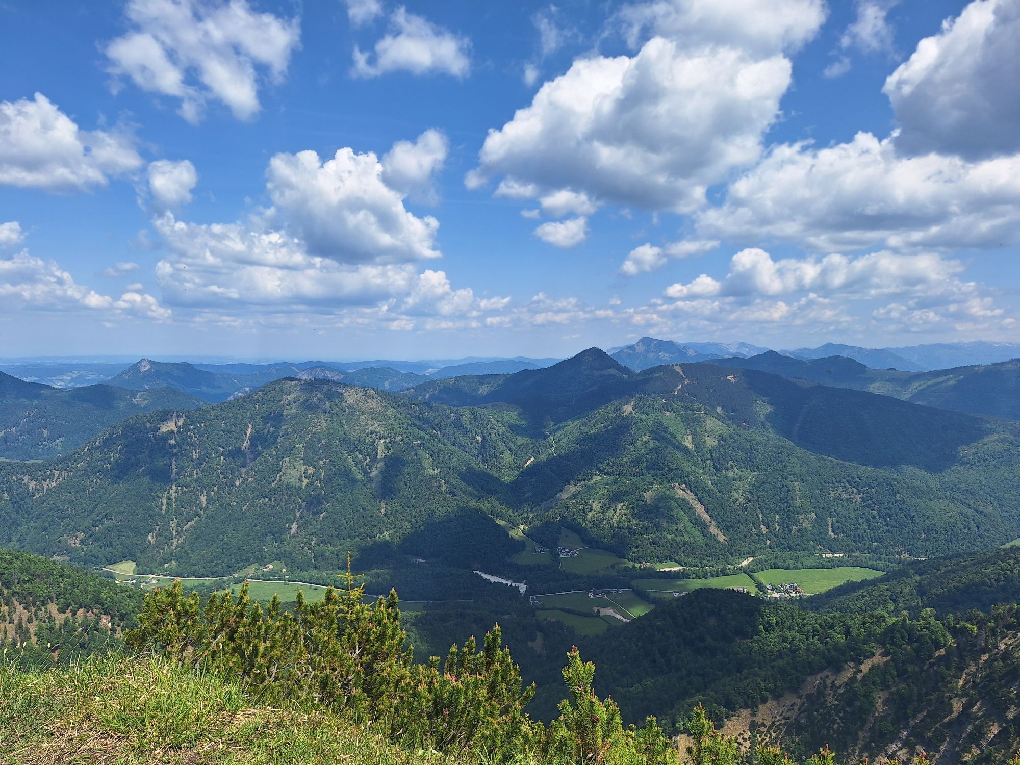
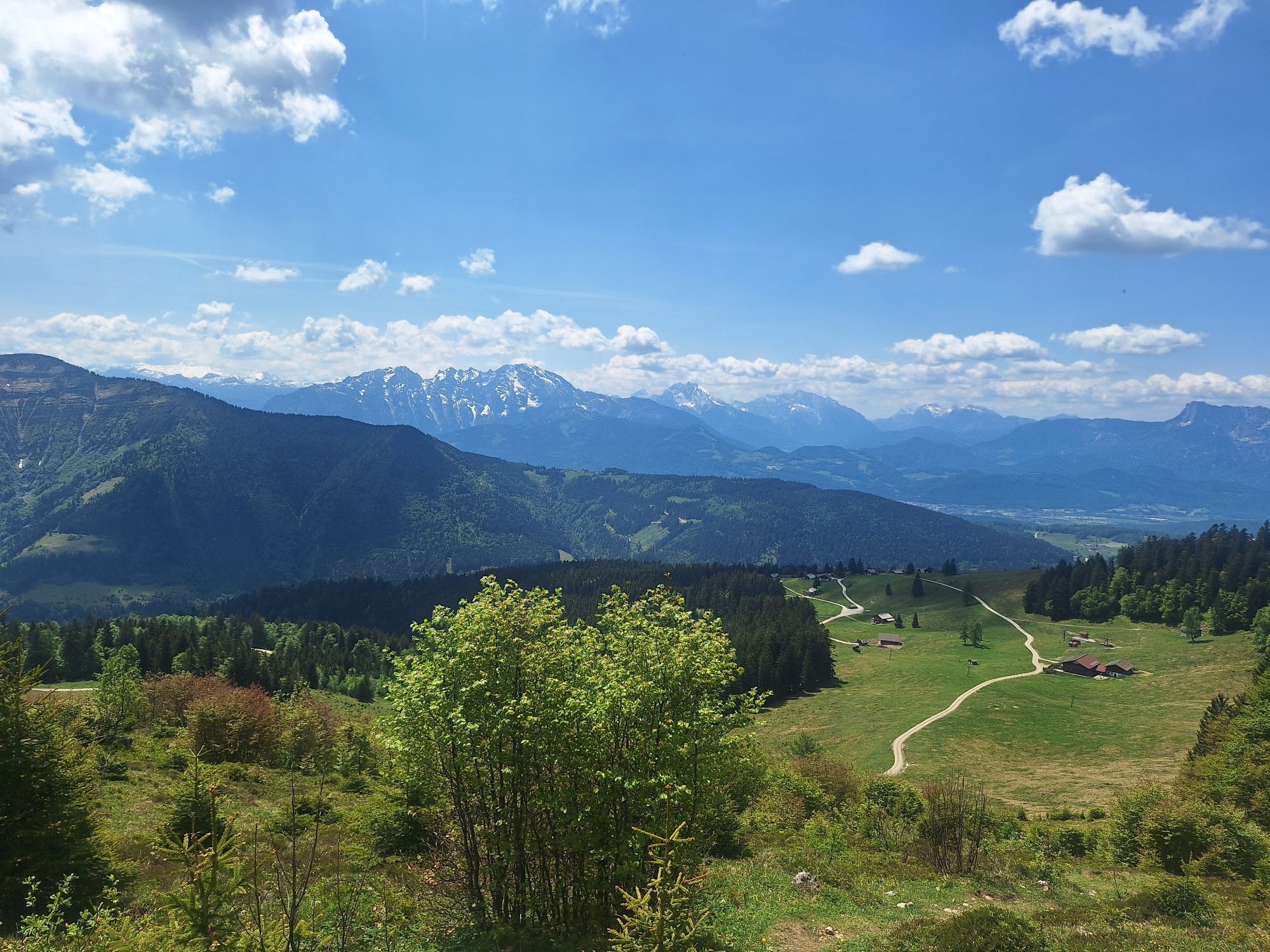
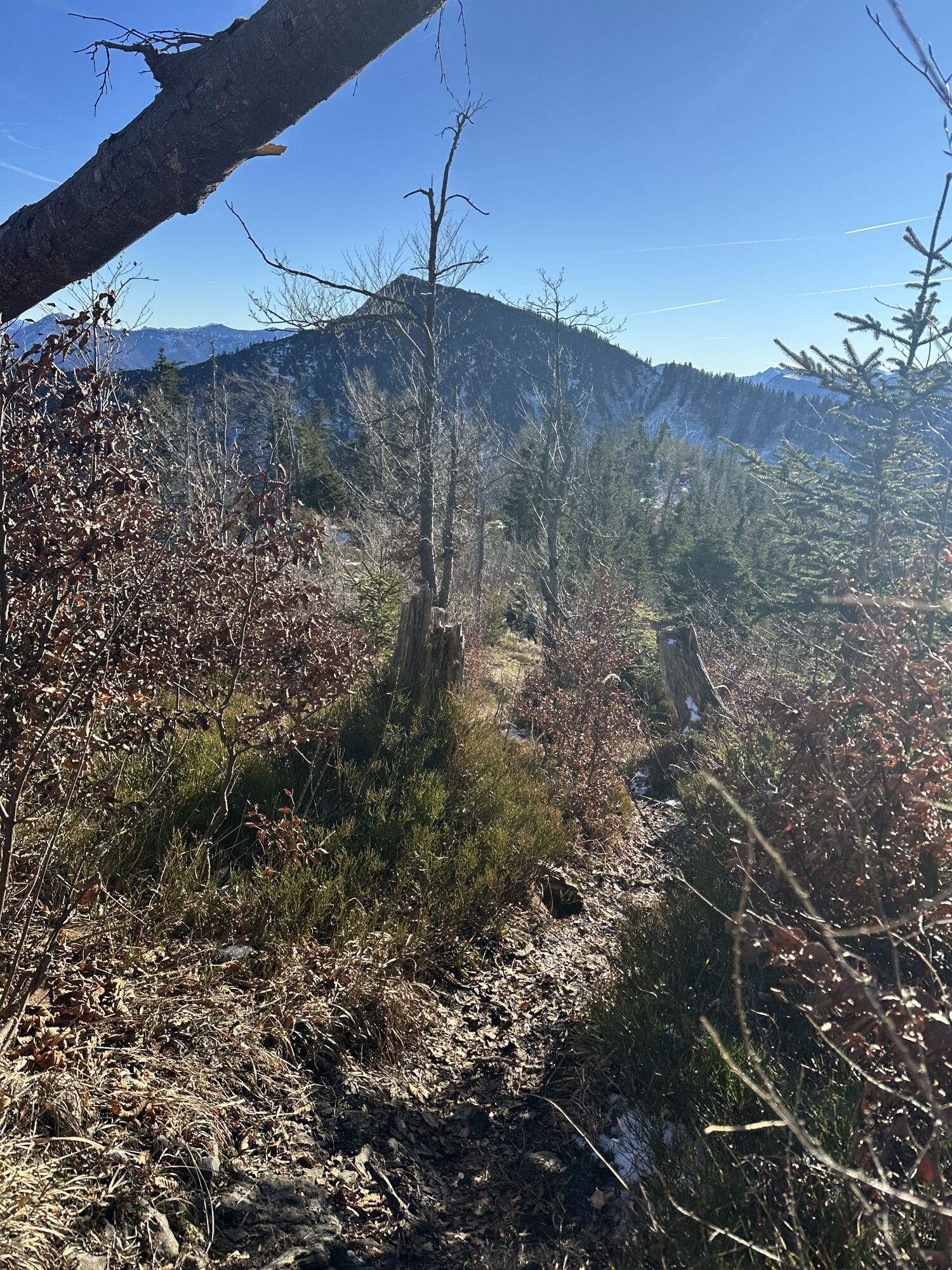
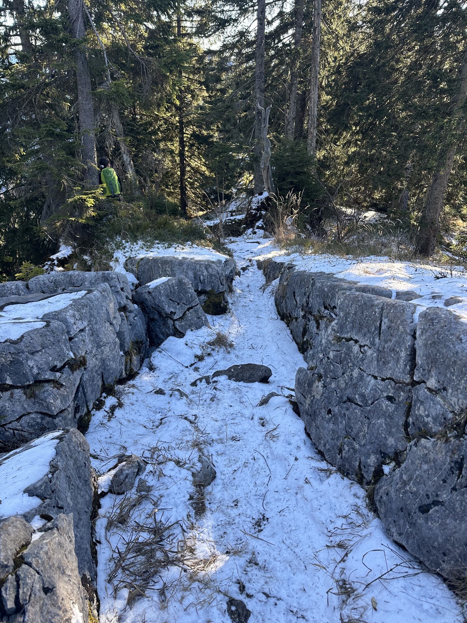
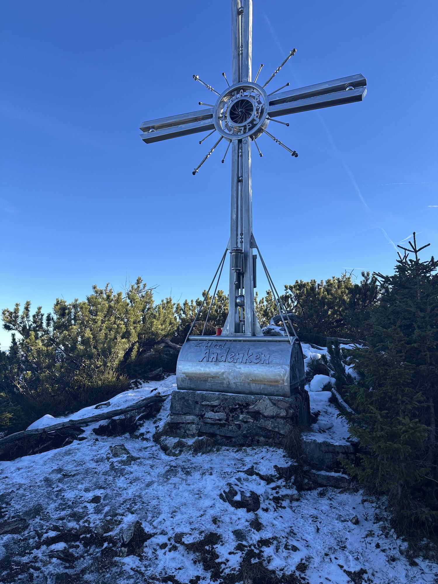
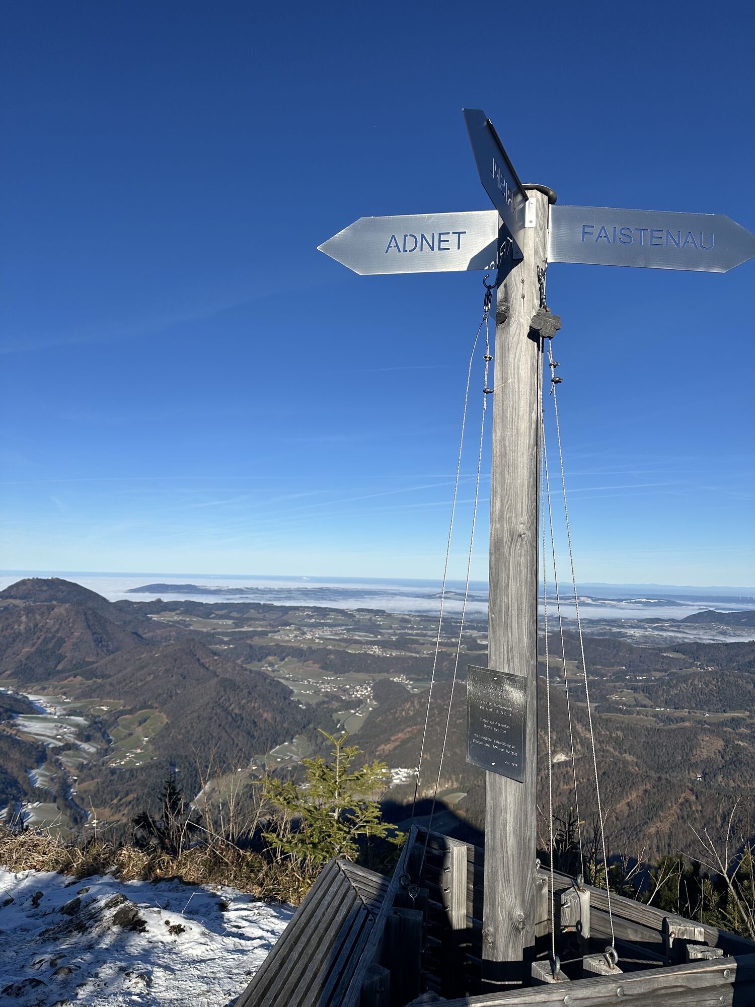
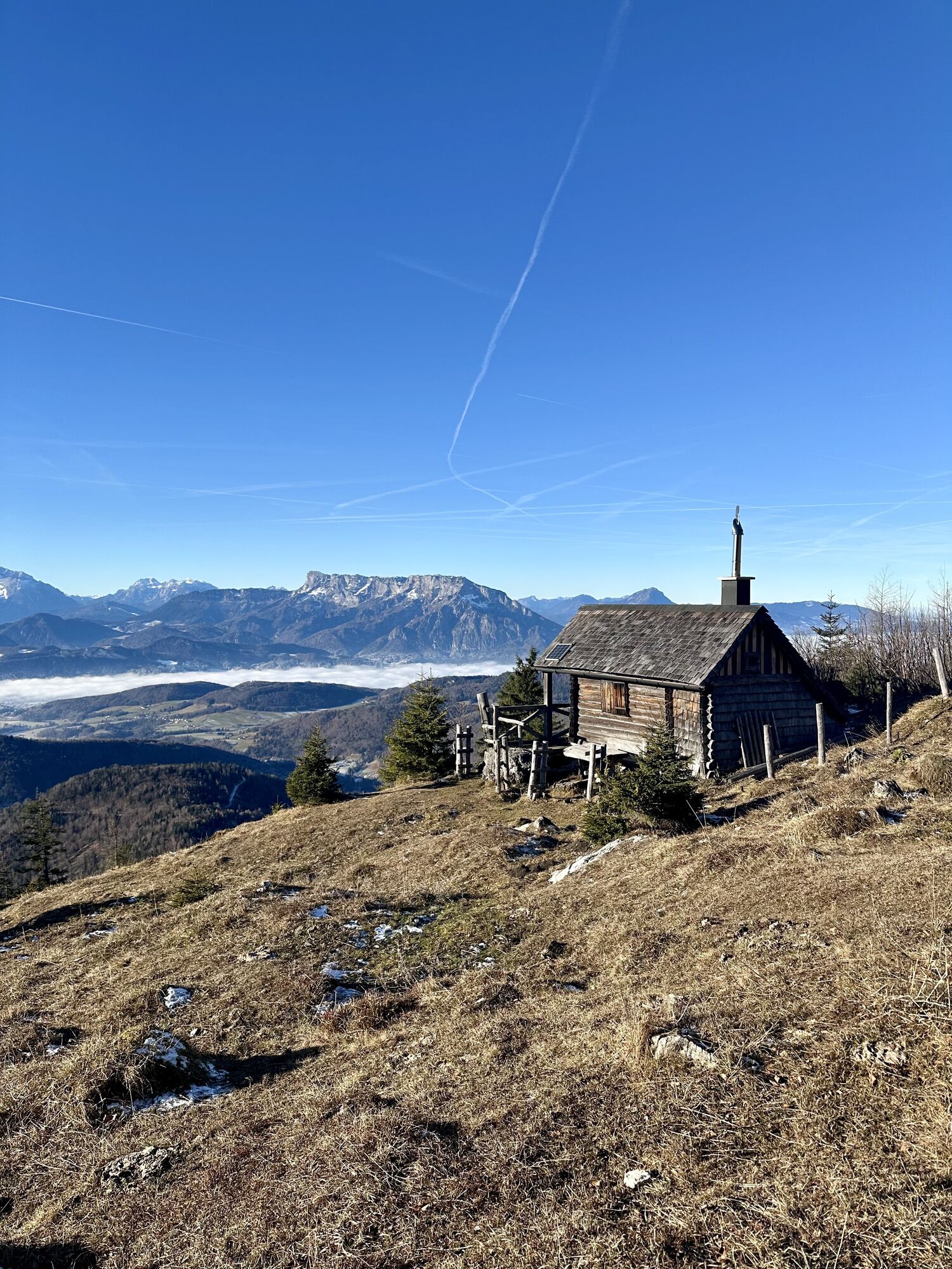
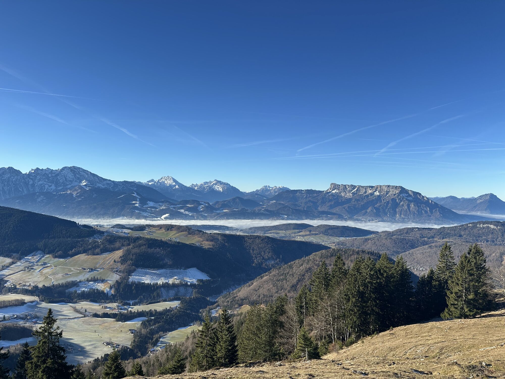
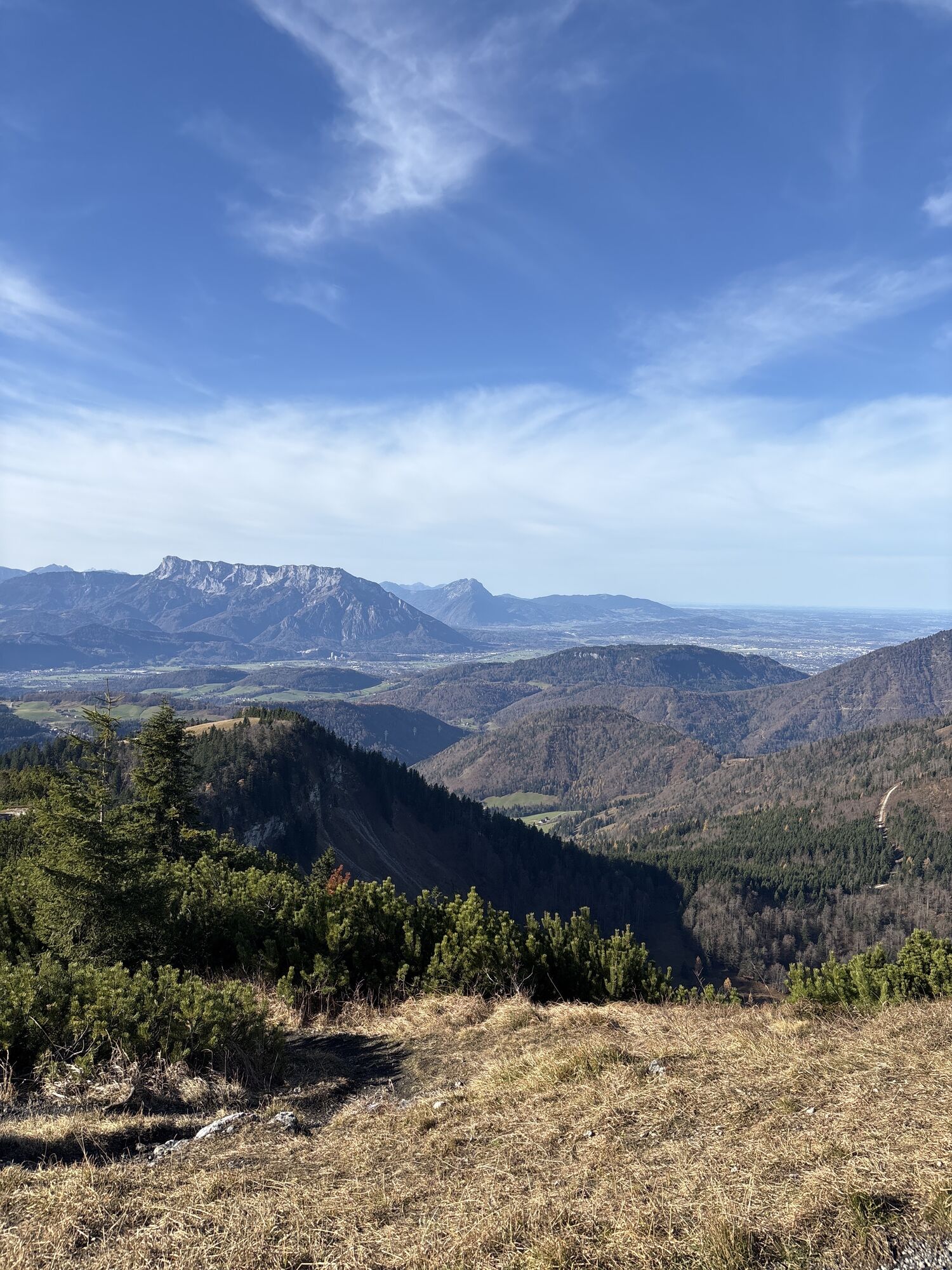
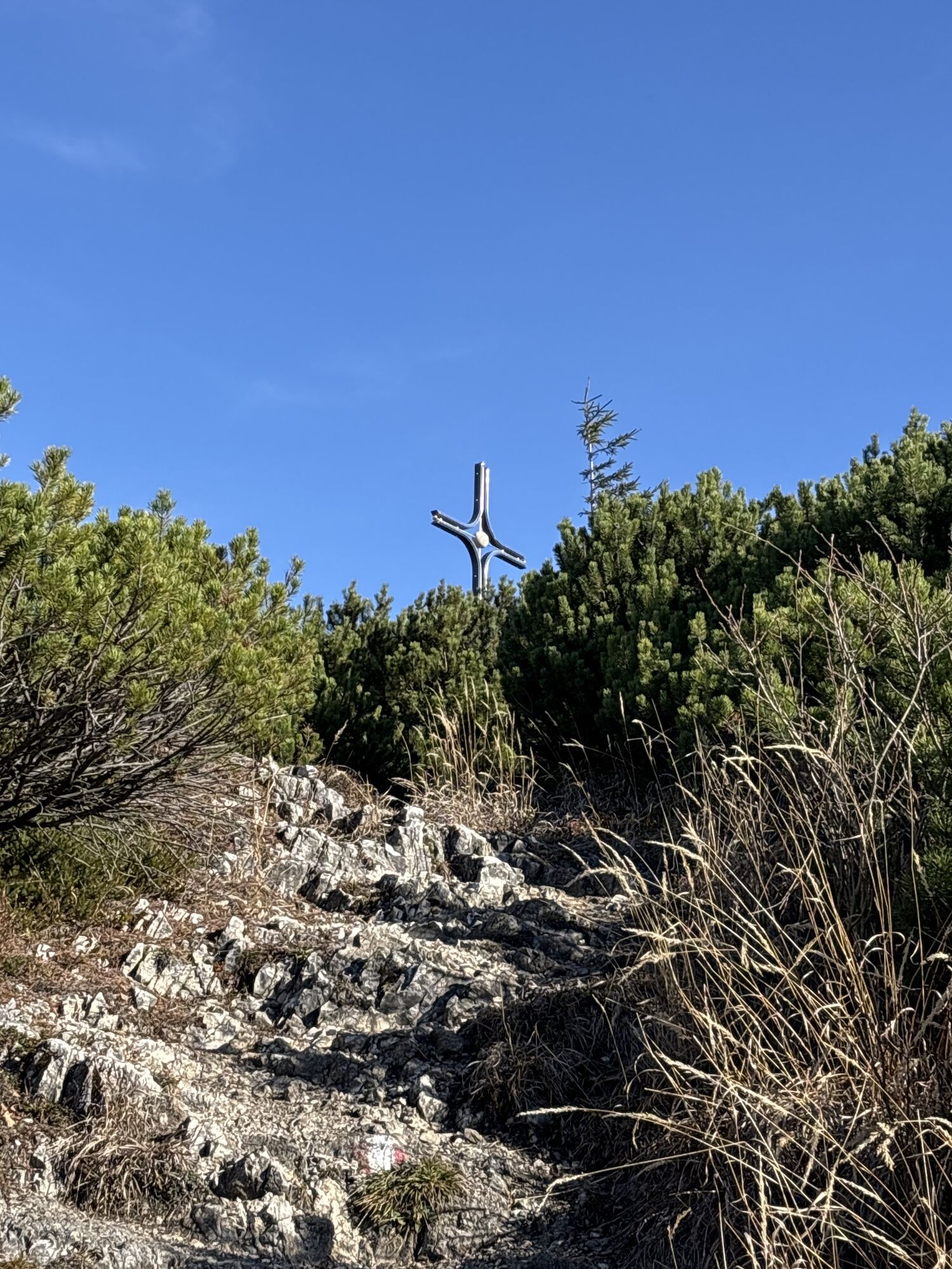
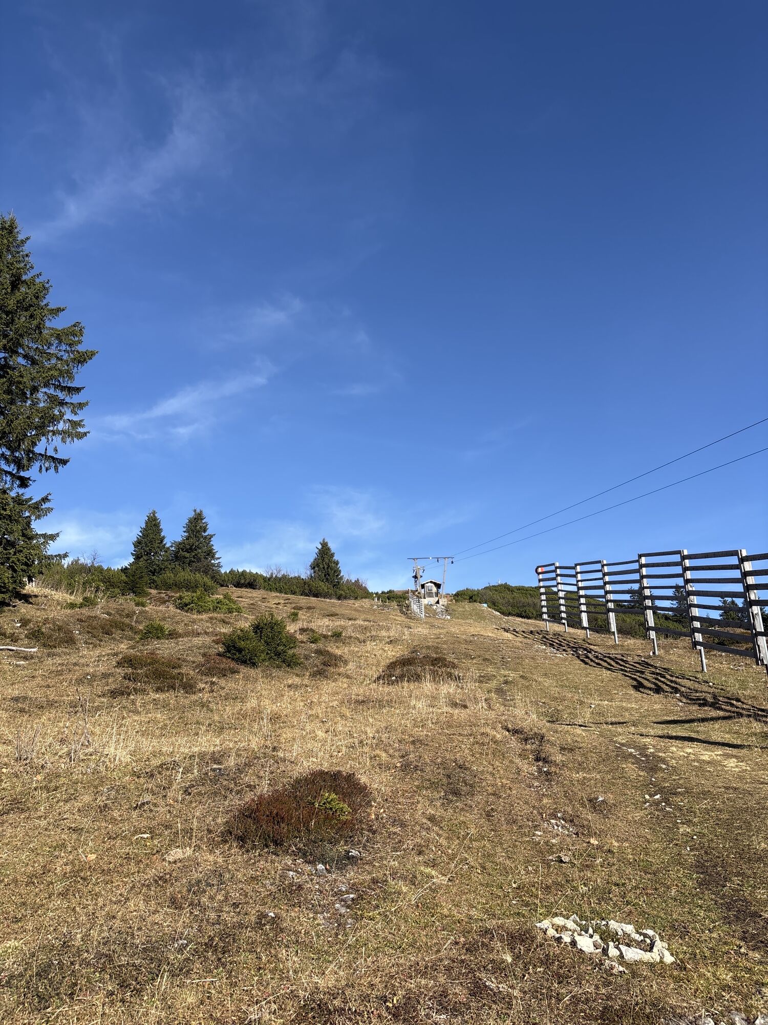
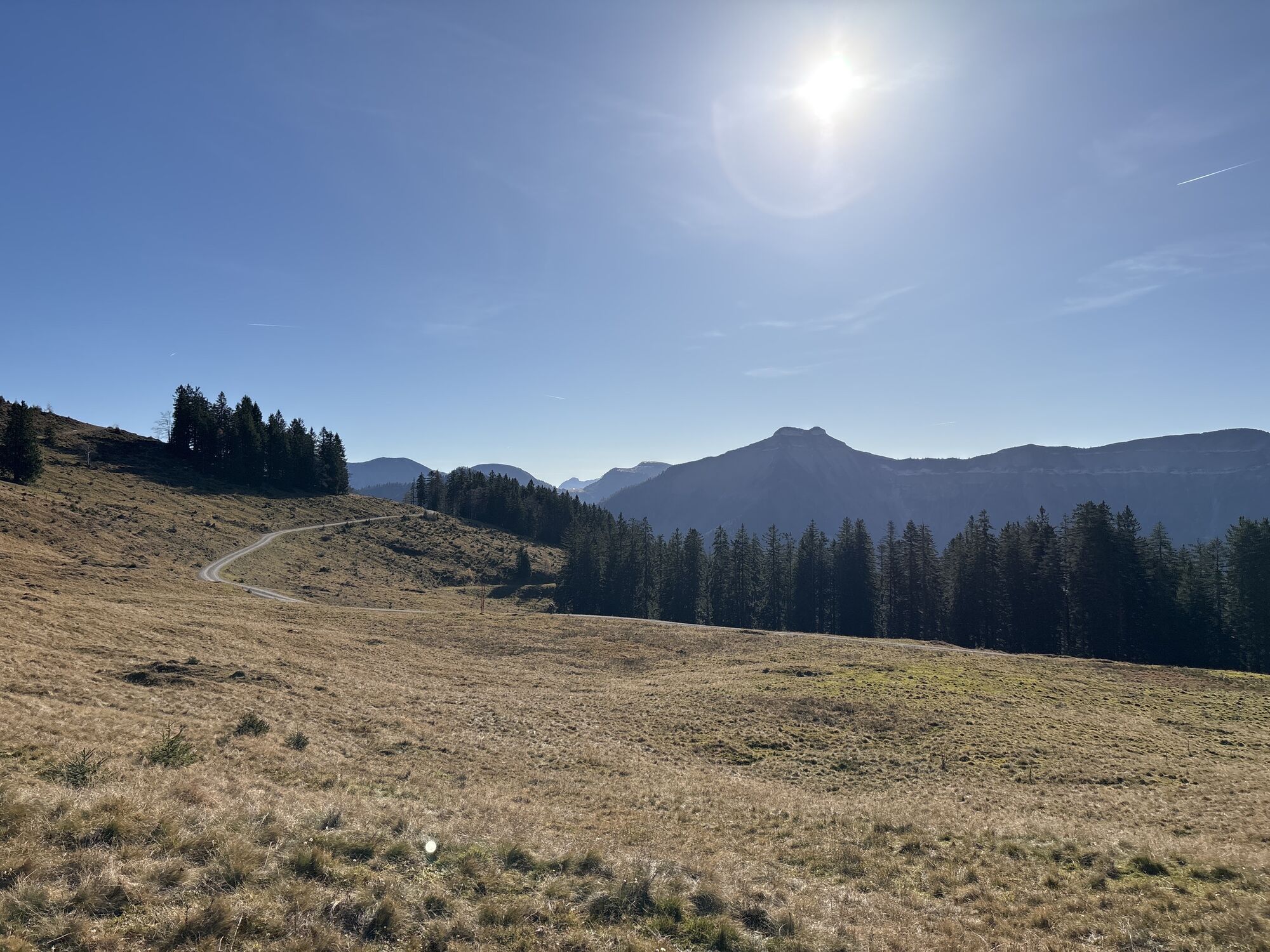
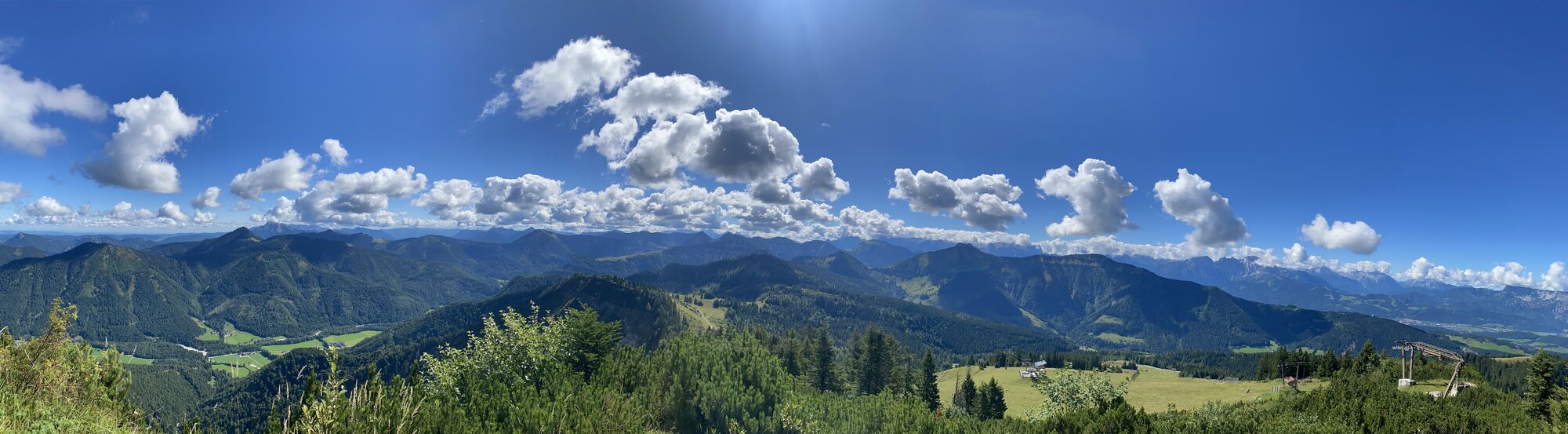
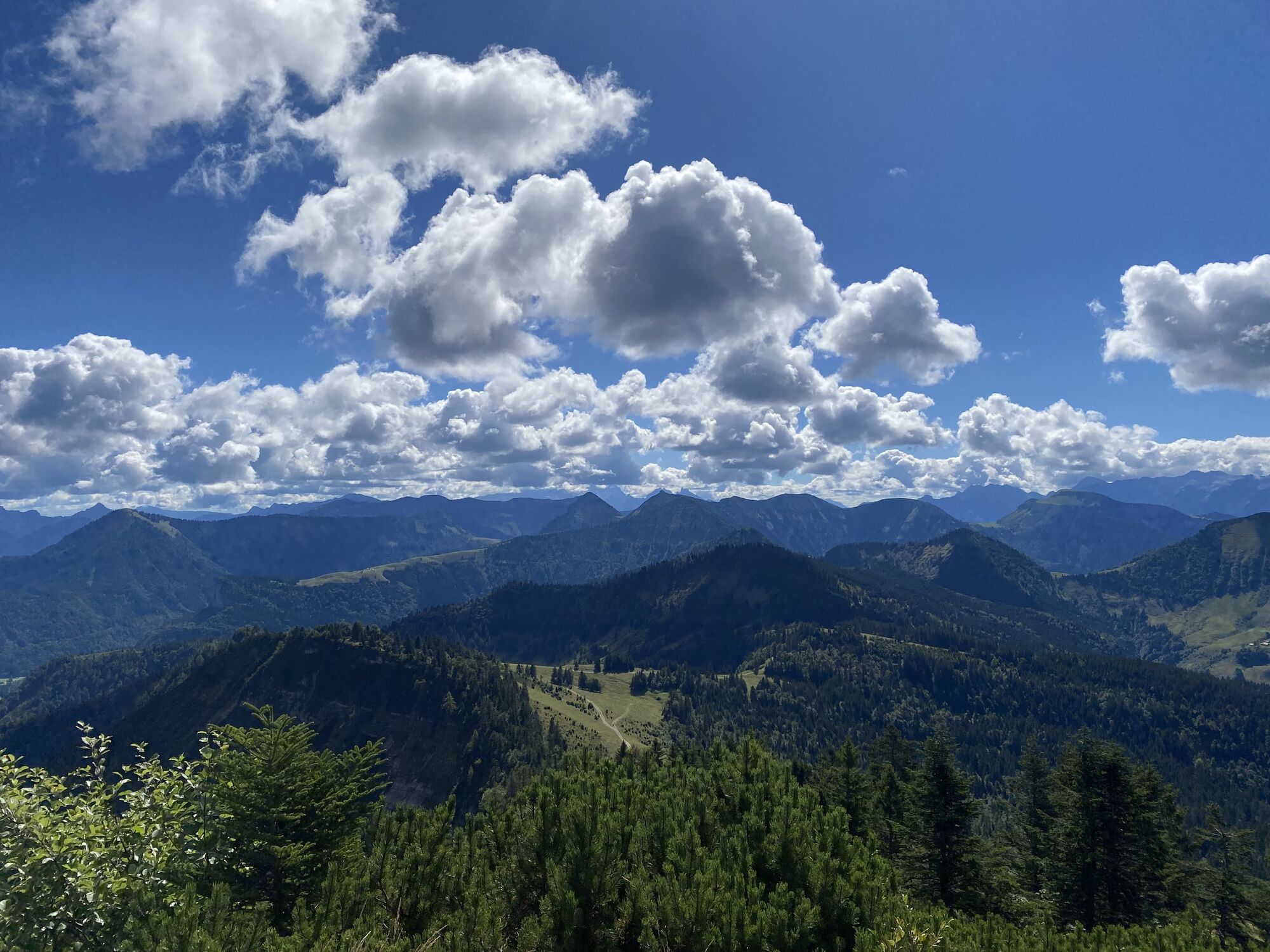
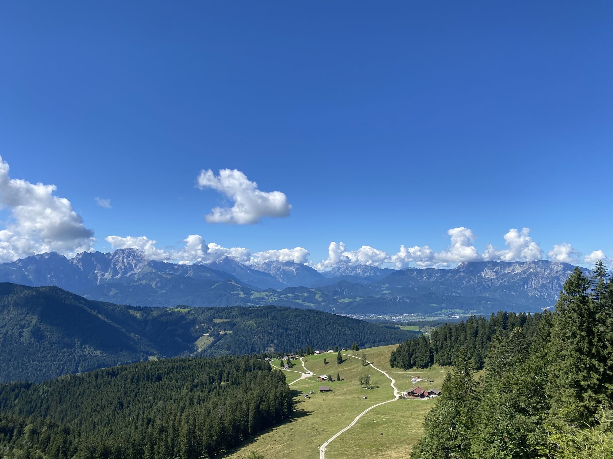
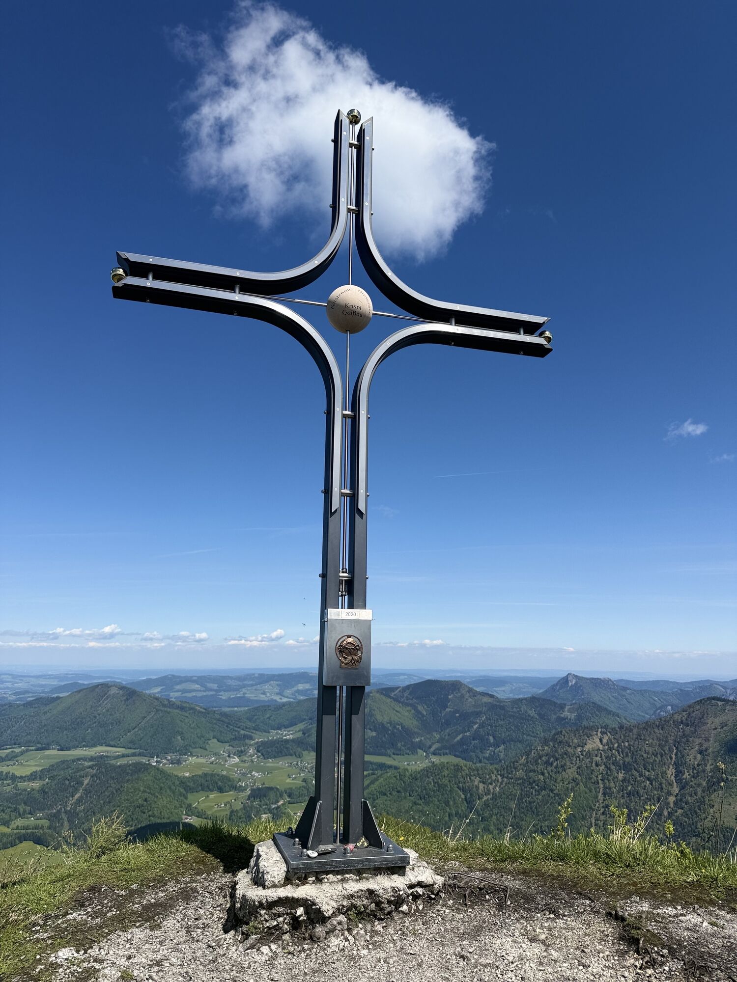
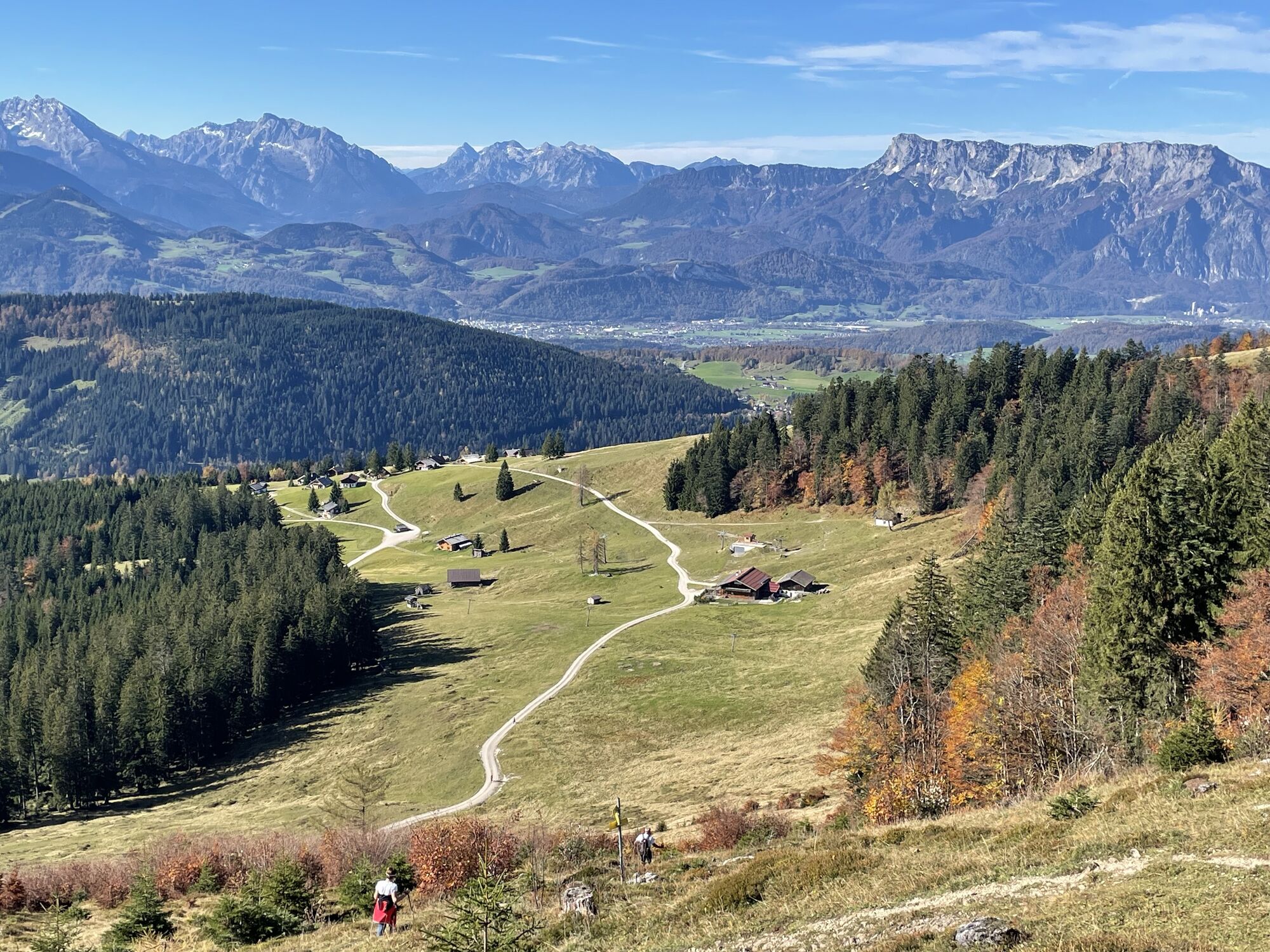
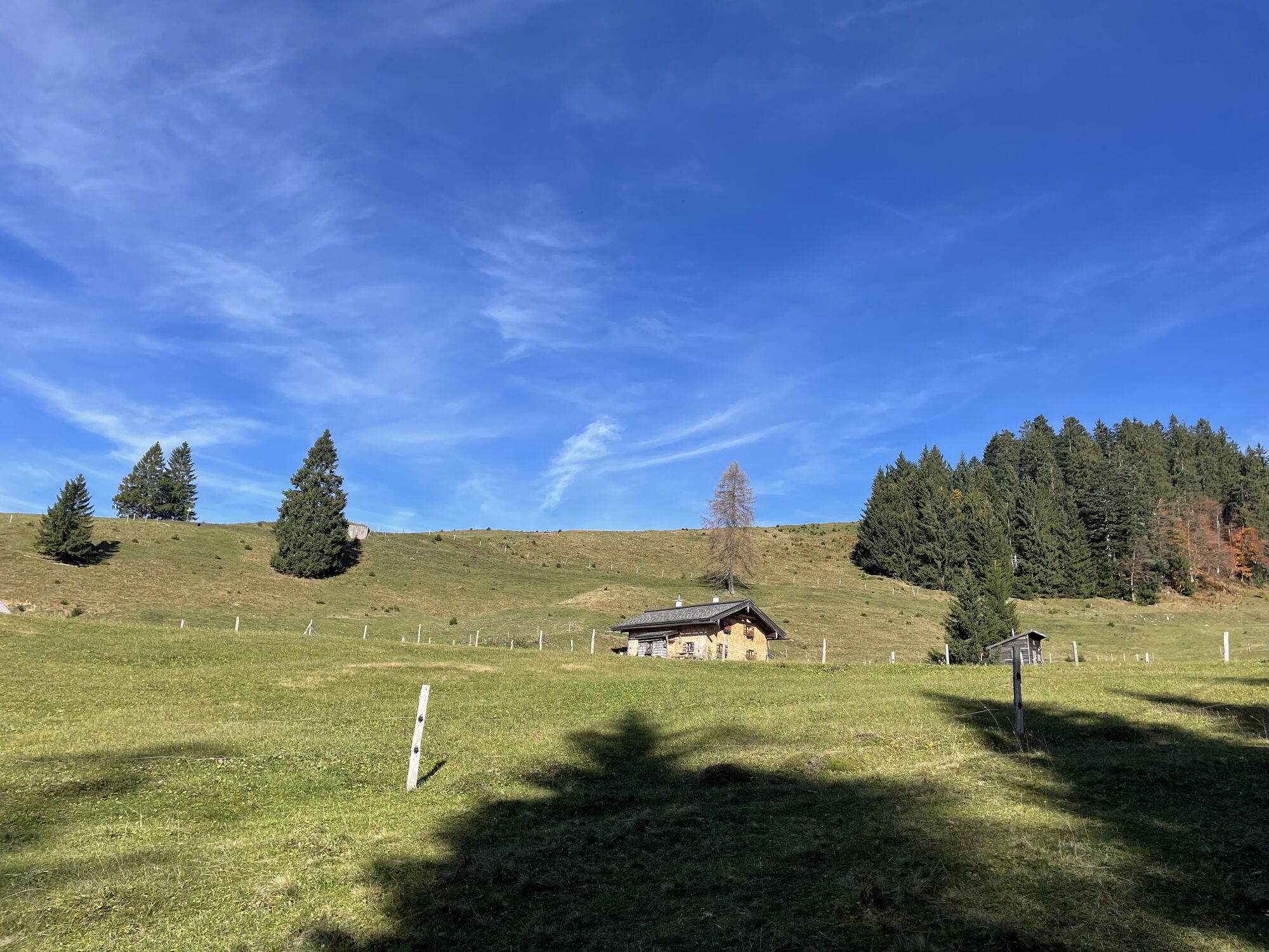
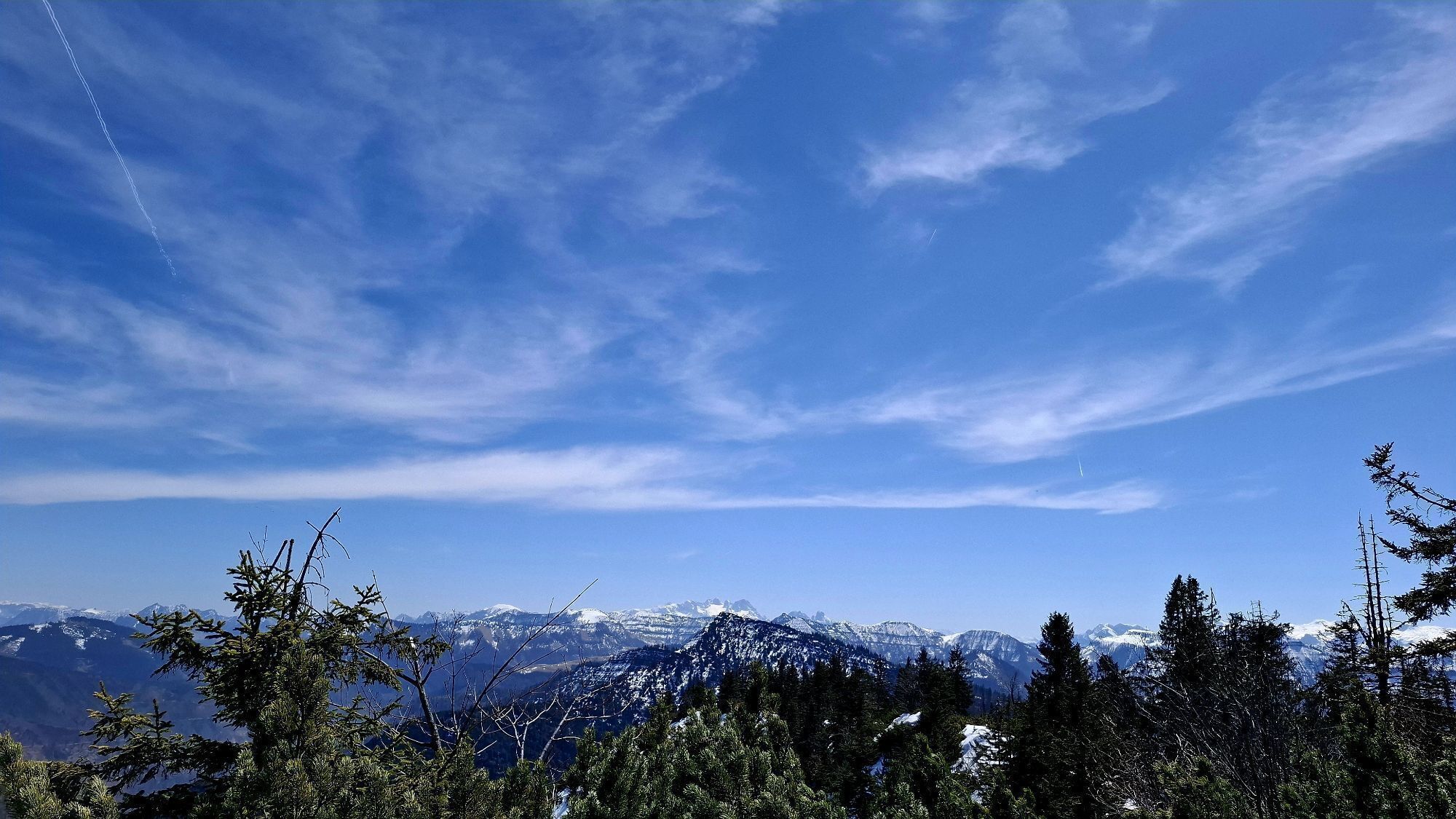
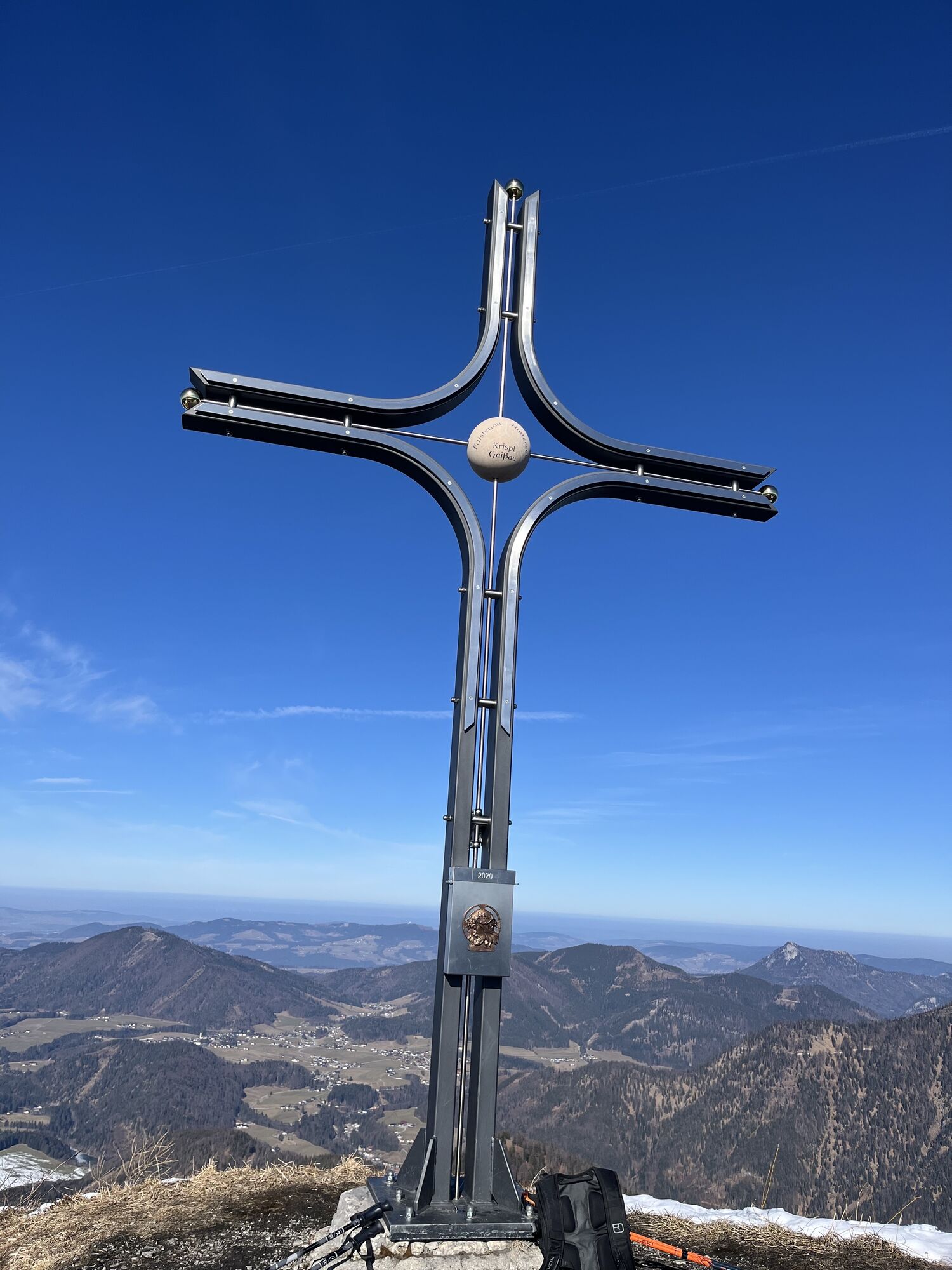
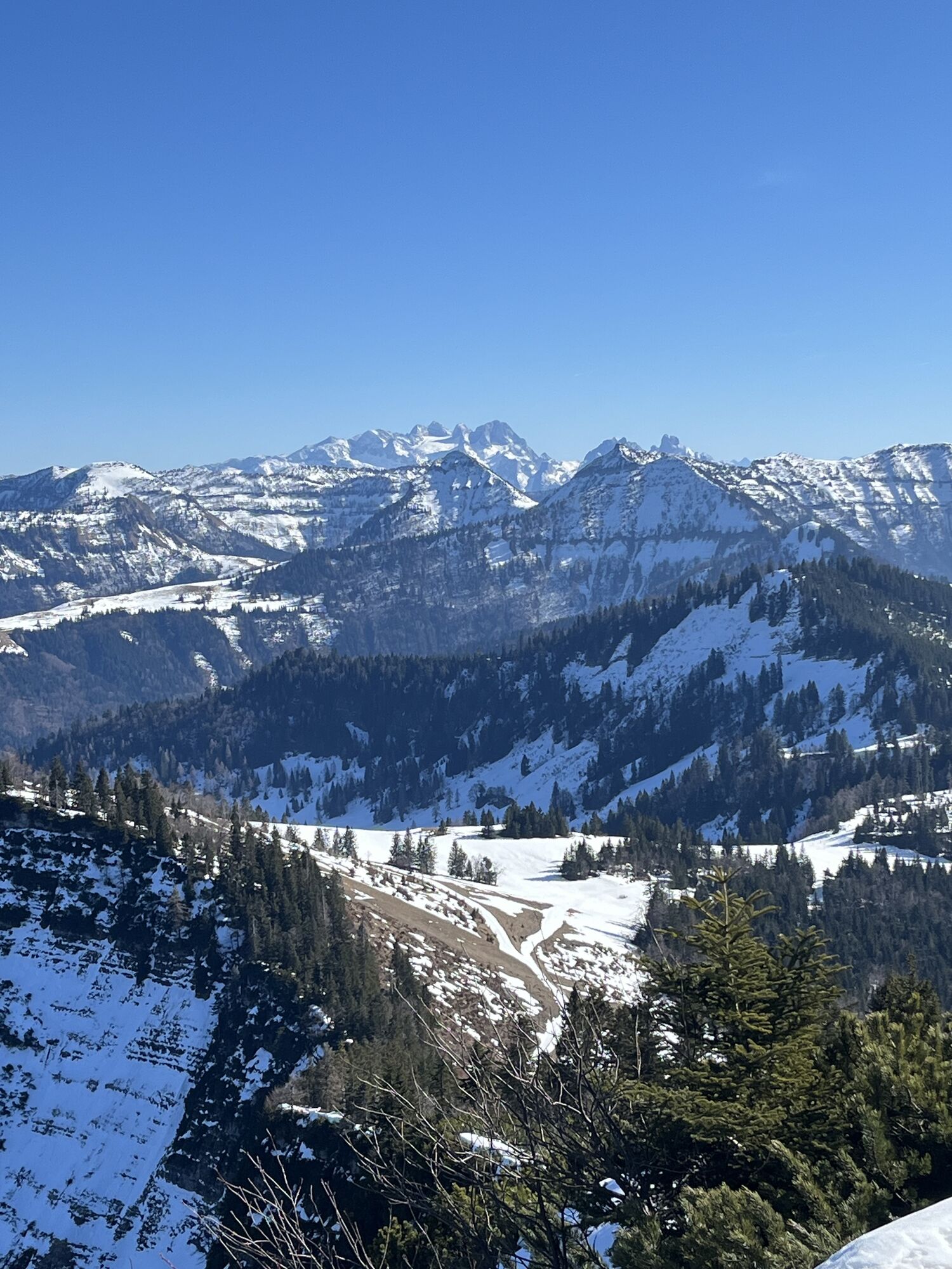
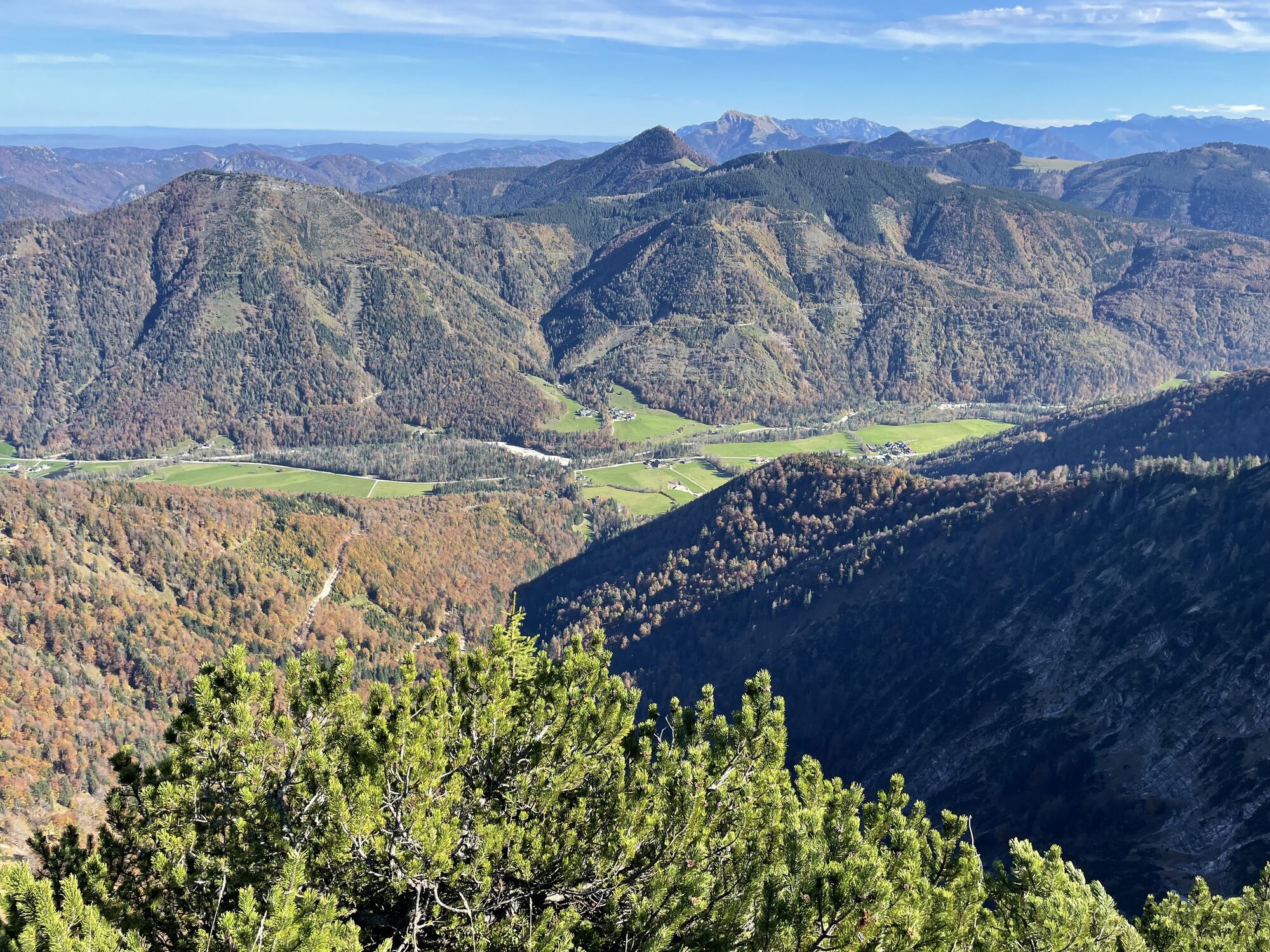
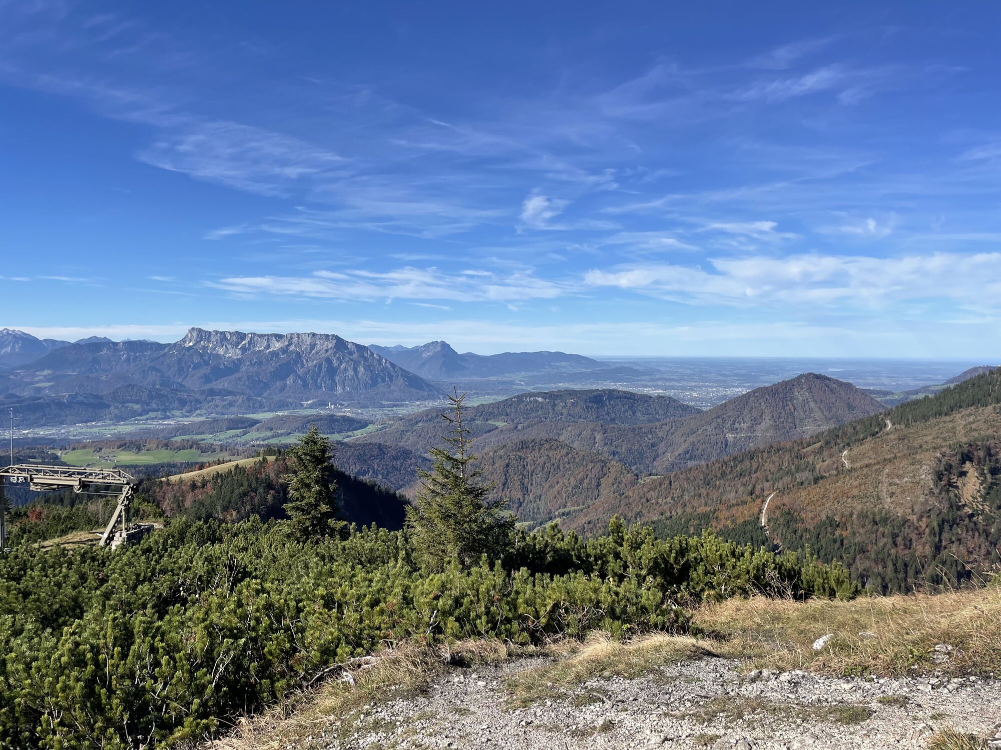
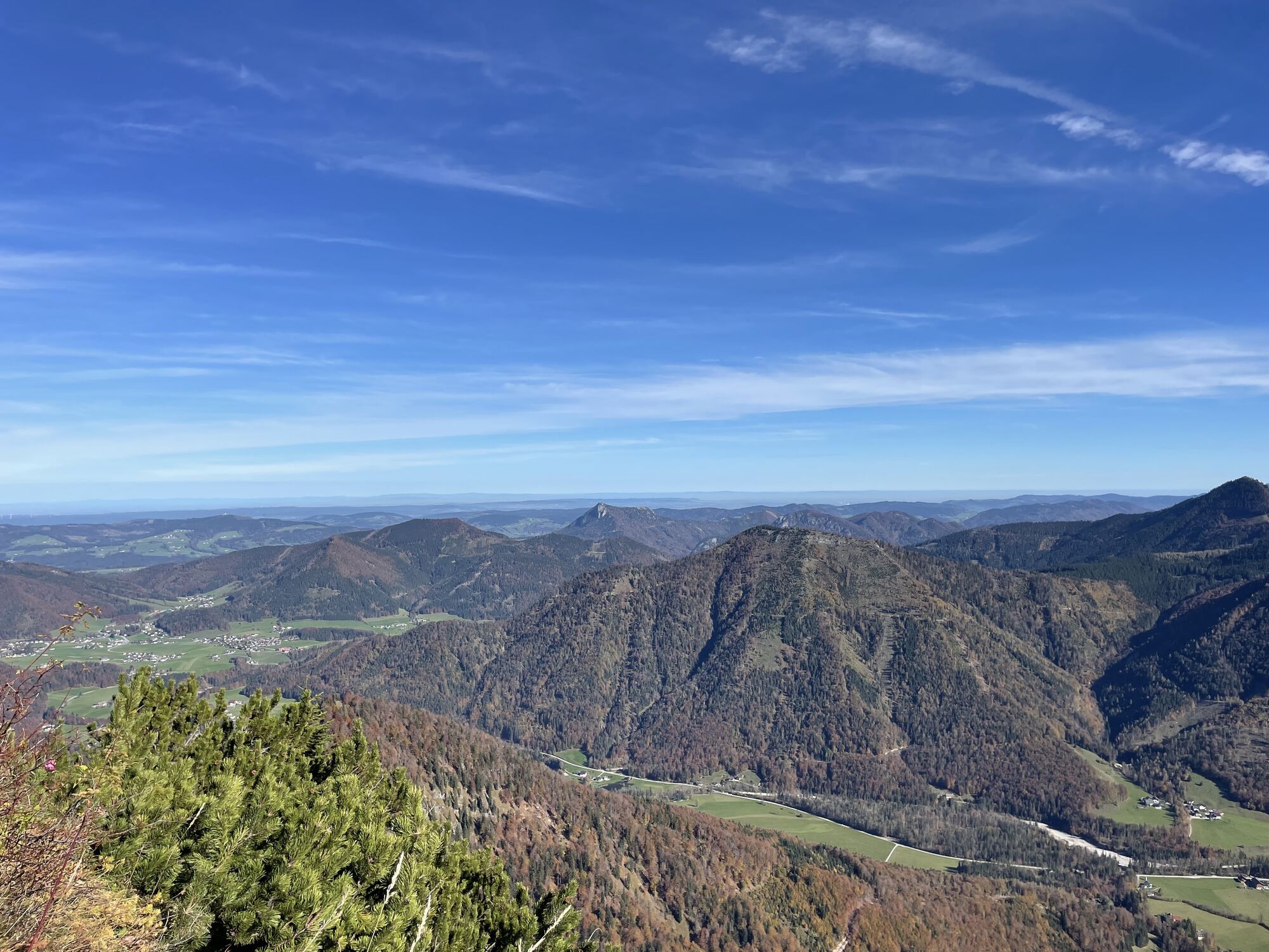
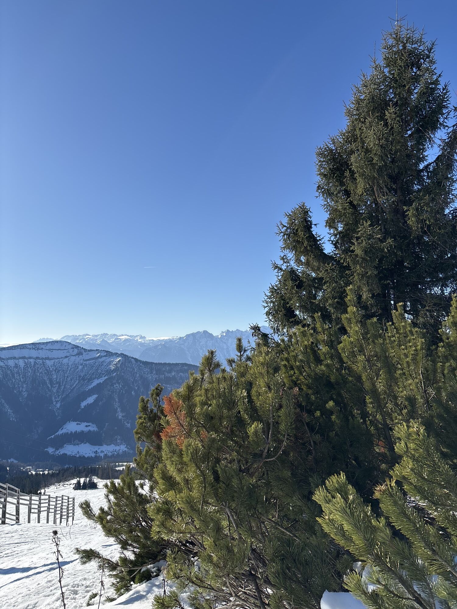
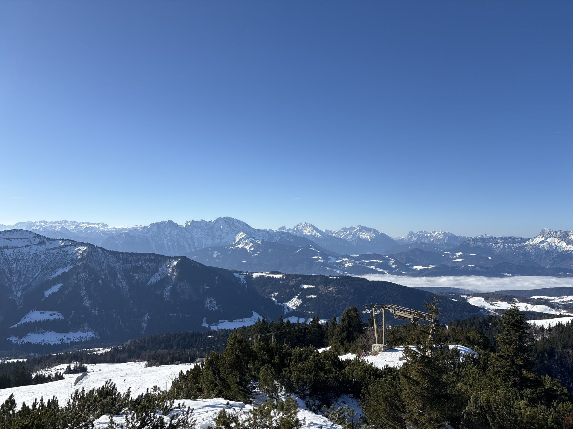
From the Spielbergstrasse tollbooth via the Eibleck turnoff to the Eibleckalmen. Continue on the path to the Ochsenberg. Then you come to the Eibleck with the new summit cross. Further over the Kallersberg to the Moser monument and over to the Spielberg. To the 4th peak it then goes on a grade to the Wieserhörndl, then along the slope down to the Spielbergalmen and along the Spielbergstrasse to the starting point tollbooth.

From the Spielbergstrasse tollbooth via the Eibleck turnoff to the Eibleckalmen. Continue on the path to the Ochsenberg. Then you come to the Eibleck with the new summit cross. Further over the Kallersberg to the Moser monument and over to the Spielberg. To the 4th peak it then goes on a grade to the Wieserhörndl, then along the slope down to the Spielbergalmen and along the Spielbergstrasse to the starting point tollbooth.
Sí
Sí
Sturdy shoes, hiking poles, headgear, sun protection
Actividades a lo largo del recorrido
-

Krispl, Salzburg/Österreich
18.04.2026 – Senderismo -

Krispl, Salzburg/Österreich
07.04.2026 – Senderismo -
Ochsenberg, Eibleck und Kallersberg Runde
01.01.2026 – Senderismo -

Krispl, Salzburg/Österreich
20.12.2025 – Senderismo -

Krispl, Salzburg/Österreich
20.12.2025 – Senderismo -
Krispl, Salzburg/Österreich
14.12.2025 – Senderismo -
Kallersberg - Eibleck - Ochsenberg
03.04.2024 – Senderismo de montaña
Rutas populares en los alrededores
-
4,7
Schwarzer Berg / Golling
medioSenderismo 2,54 km -
4,8
Fuschl: Ruine Wartenfels - Schober - Frauenkopf
medioSenderismo 7,62 km -
4,4
Fuschlseewanderung
luzSenderismo 11 km -
4,2
Pillstein Panorama Rundweg
luzSenderismo 3,40 km -
4,7
Caminata de disfrute sobre el Falkenstein
medioSenderismo 9,81 km -
4,6
El Plombergstein: aventura y panorama desde la cima
luzSenderismo 4,12 km -
4,2
Untersberg, Toni-Lenz-Hütte
Senderismo 4,86 km -
4,0
Bärenweg am Lidaun
luzSenderismo 9,05 km -
4,4
Desde Koppl a la cima de Gaisberg
medioSenderismo 9,86 km -
4,8
Salzkammergut: Die Drachenwand
pesadoVía ferrata 4,32 km
Senderismo y rastreo


No se pierda las ofertas y la inspiración para sus próximas vacaciones
Su dirección de correo electrónico se ha añadido a la lista de correo.