






Adventure hike on Prinzenberg
Fotos de nuestros usuarios
-
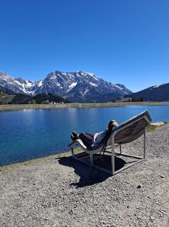
 © Martin Walch 4Creado el 01.05.2026
 -
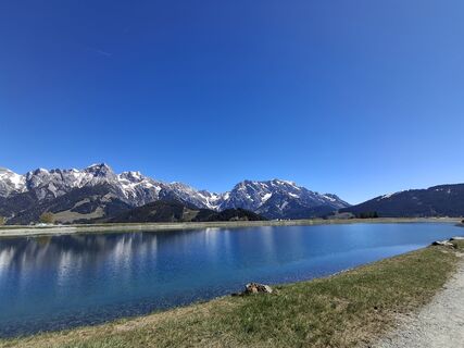 © Martin Walch 4Creado el 01.05.2026
 -
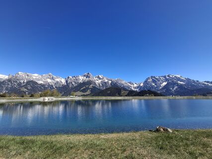 © Martin Walch 4Creado el 01.05.2026
 -
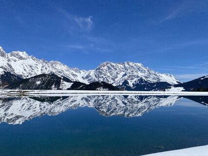
 © Sven KrieblinCreado el 05.04.2026
 -
 © Sven KrieblinCreado el 05.04.2026
 -
 © Monika JeskovaCreado el 19.10.2025
 -
 © Monika JeskovaCreado el 19.10.2025
 -
 © Monika JeskovaCreado el 19.10.2025
 -
 © Monika JeskovaCreado el 19.10.2025
 -
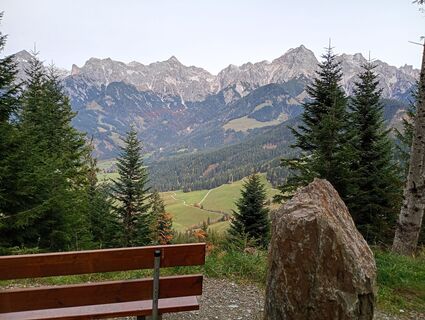 © Monika JeskovaCreado el 19.10.2025
 -

 © GeraldCreado el 12.08.2025
 -
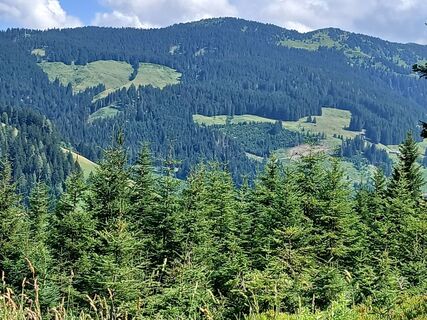
 © Fantom RoKCreado el 04.07.2025
 -
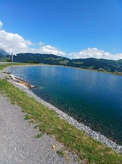 © Fantom RoKCreado el 04.07.2025
 -
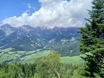 © Fantom RoKCreado el 04.07.2025
 -
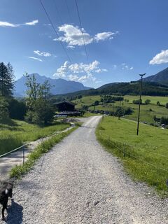 © Florian GerlCreado el 31.05.2025
 -
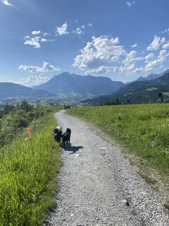 © Florian GerlCreado el 31.05.2025
 -
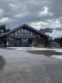
 © Christian HebenstreitCreado el 05.04.2025
 -
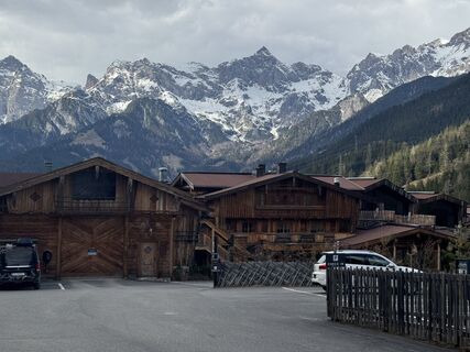 © Christian HebenstreitCreado el 05.04.2025
 -
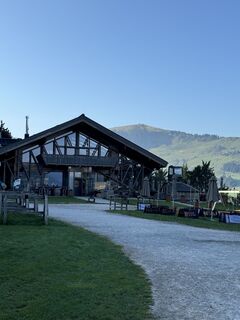
 © Anna StossierCreado el 31.08.2024
 -
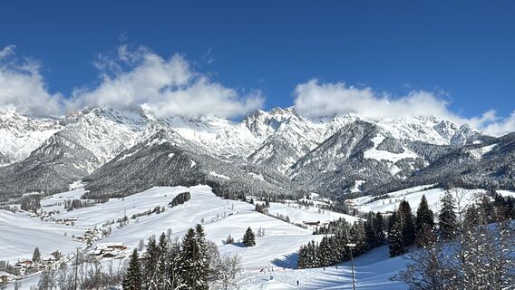
 © Arno LoiblCreado el 11.01.2026
 -
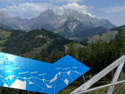 © Christian LeidenfrostCreado el 20.08.2024
 -
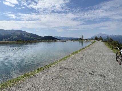 © Christian LeidenfrostCreado el 20.08.2024
 -
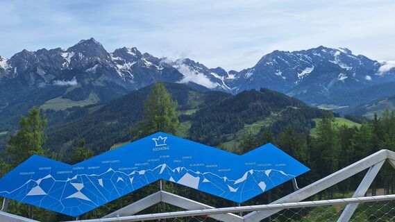
 © Matej Mikus 1Creado el 29.05.2024
 -
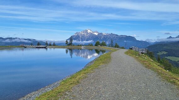 © Matej Mikus 1Creado el 29.05.2024
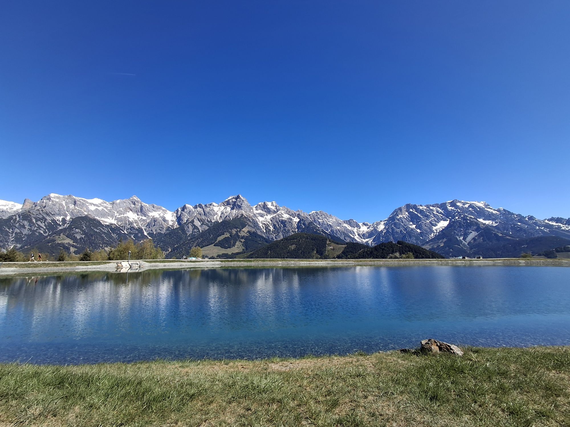
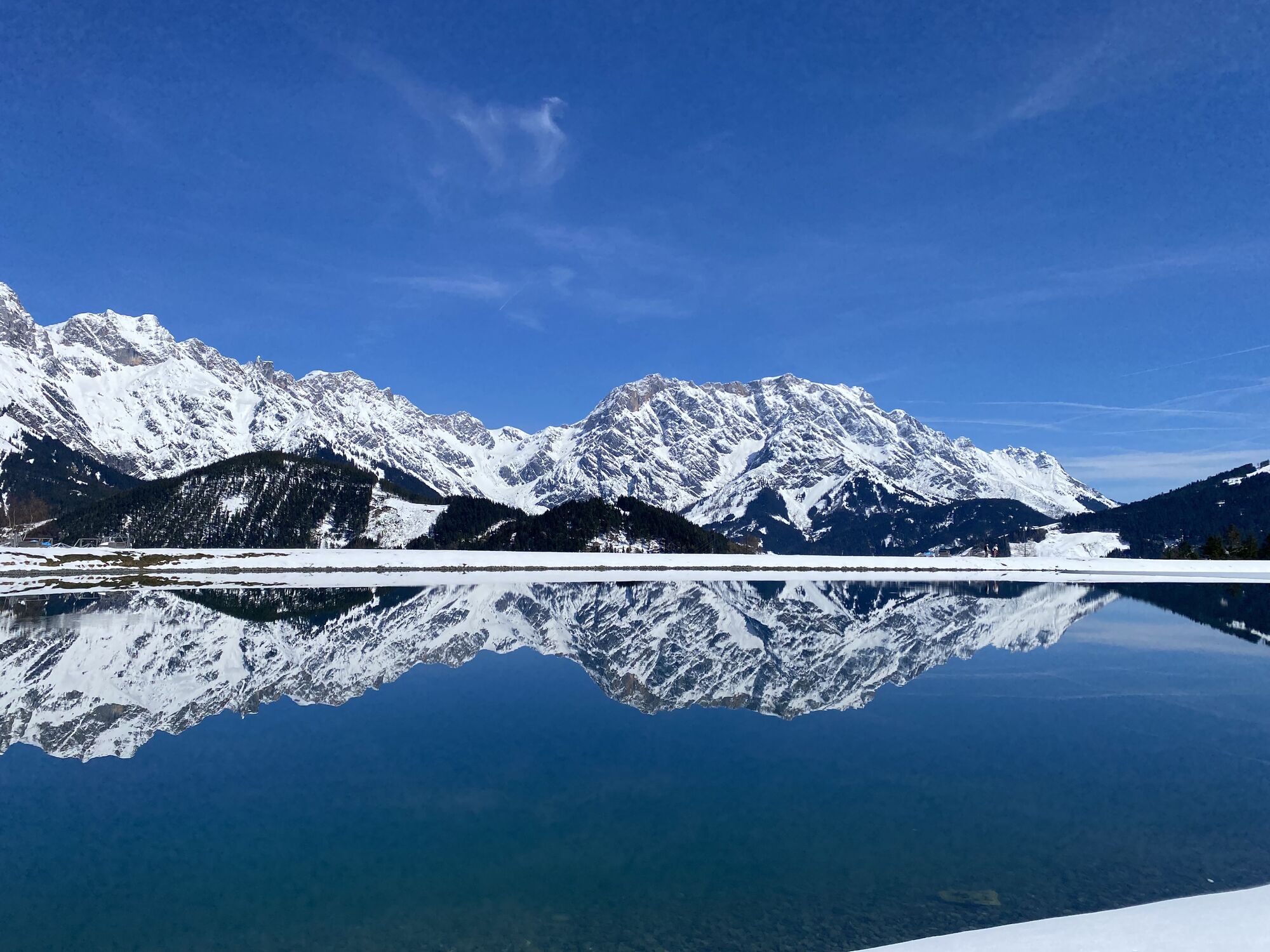
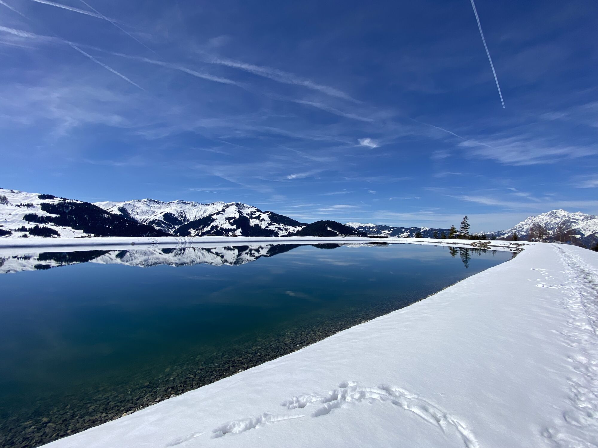
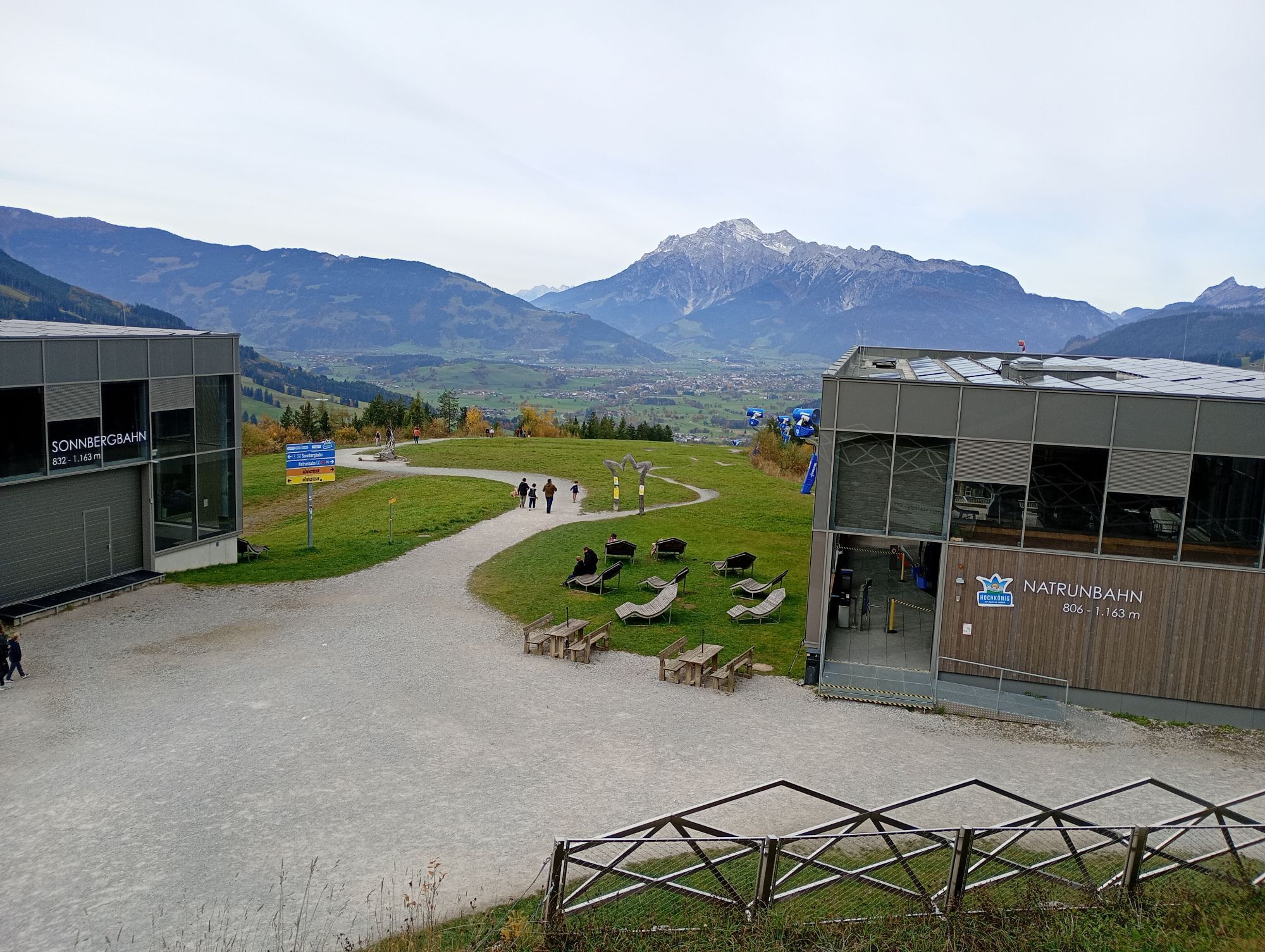
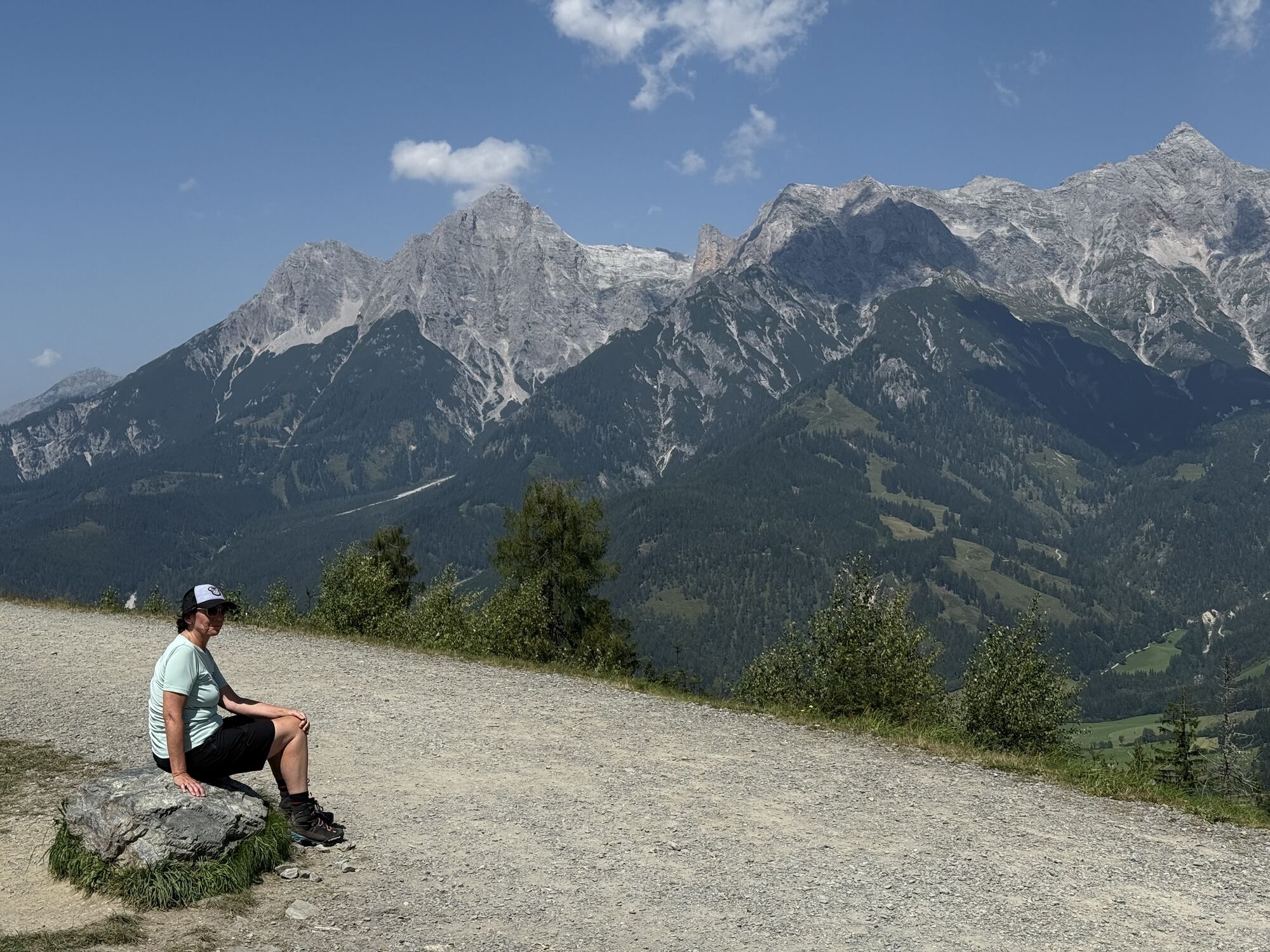

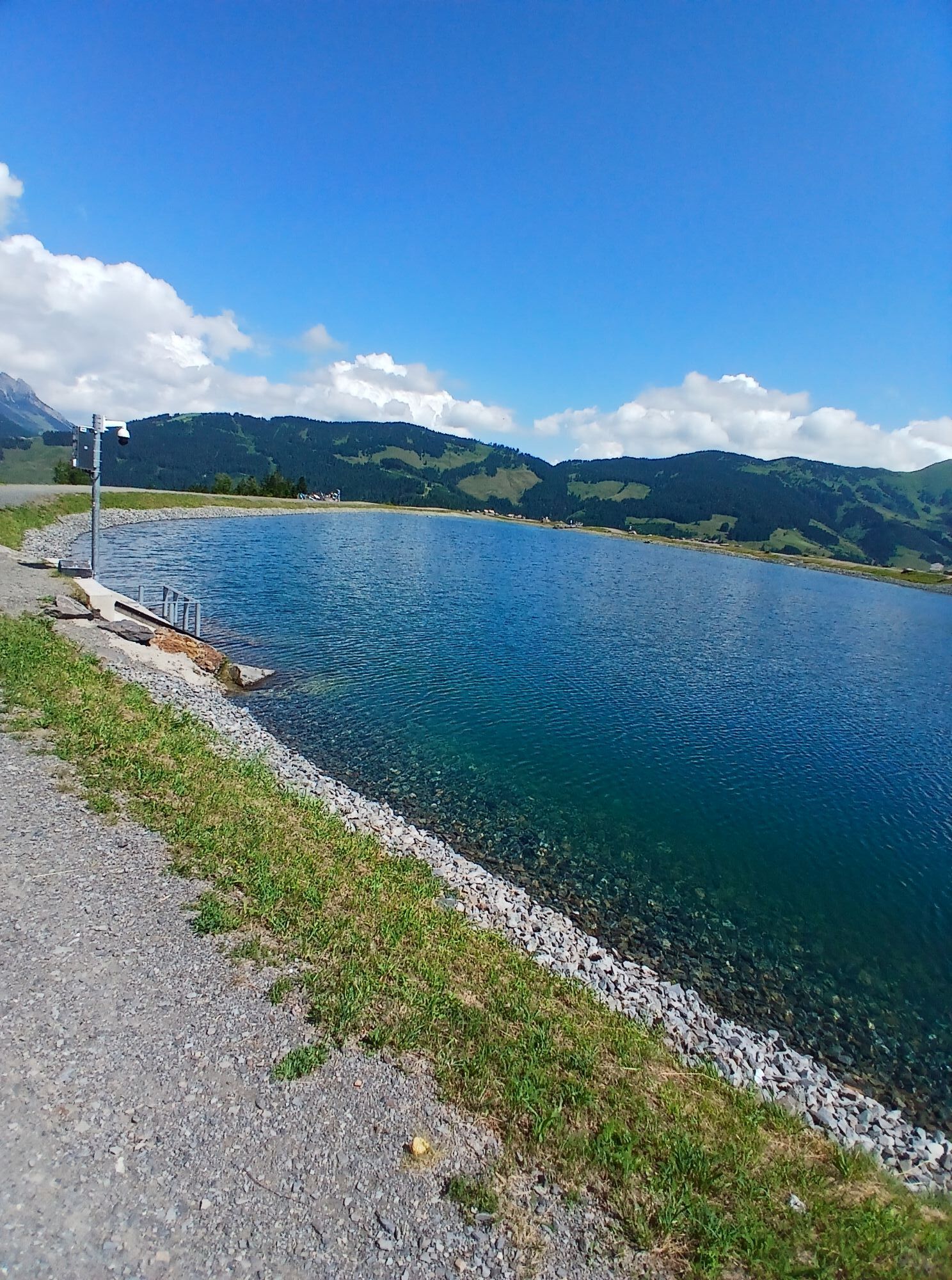

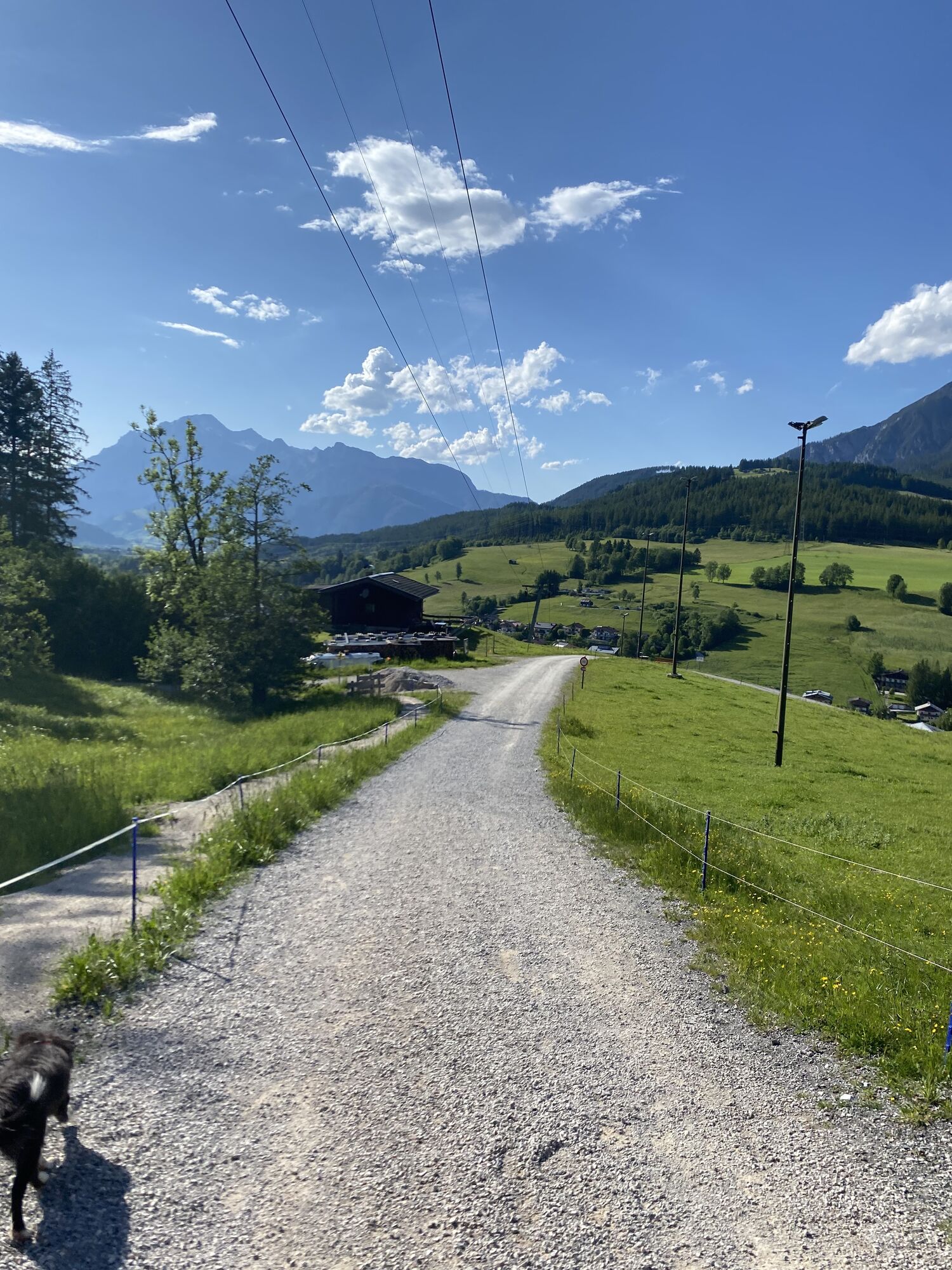
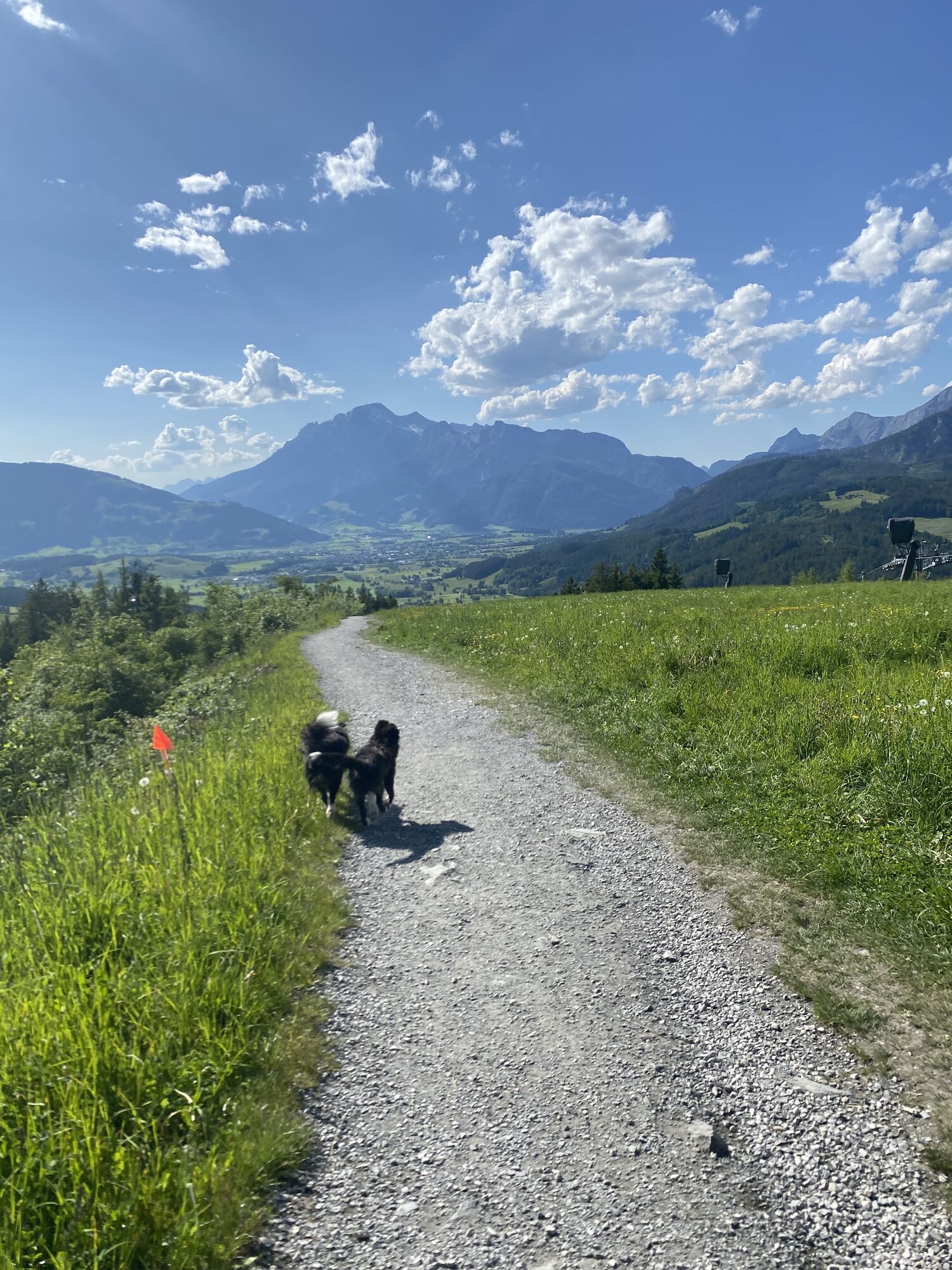

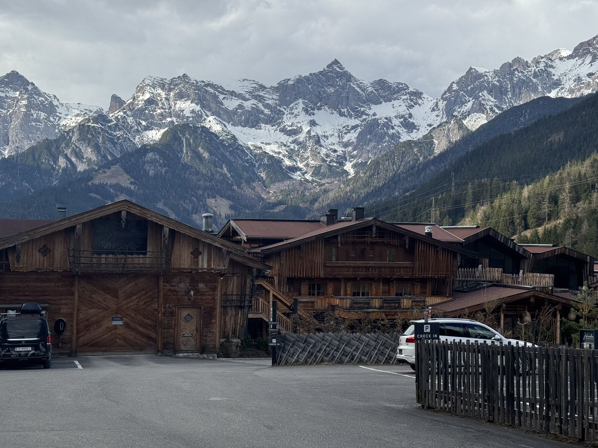

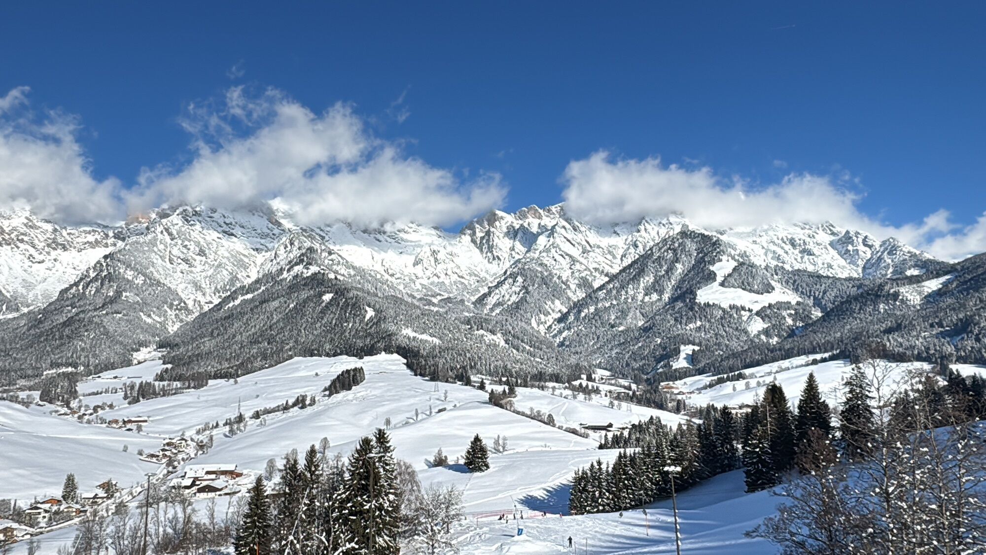
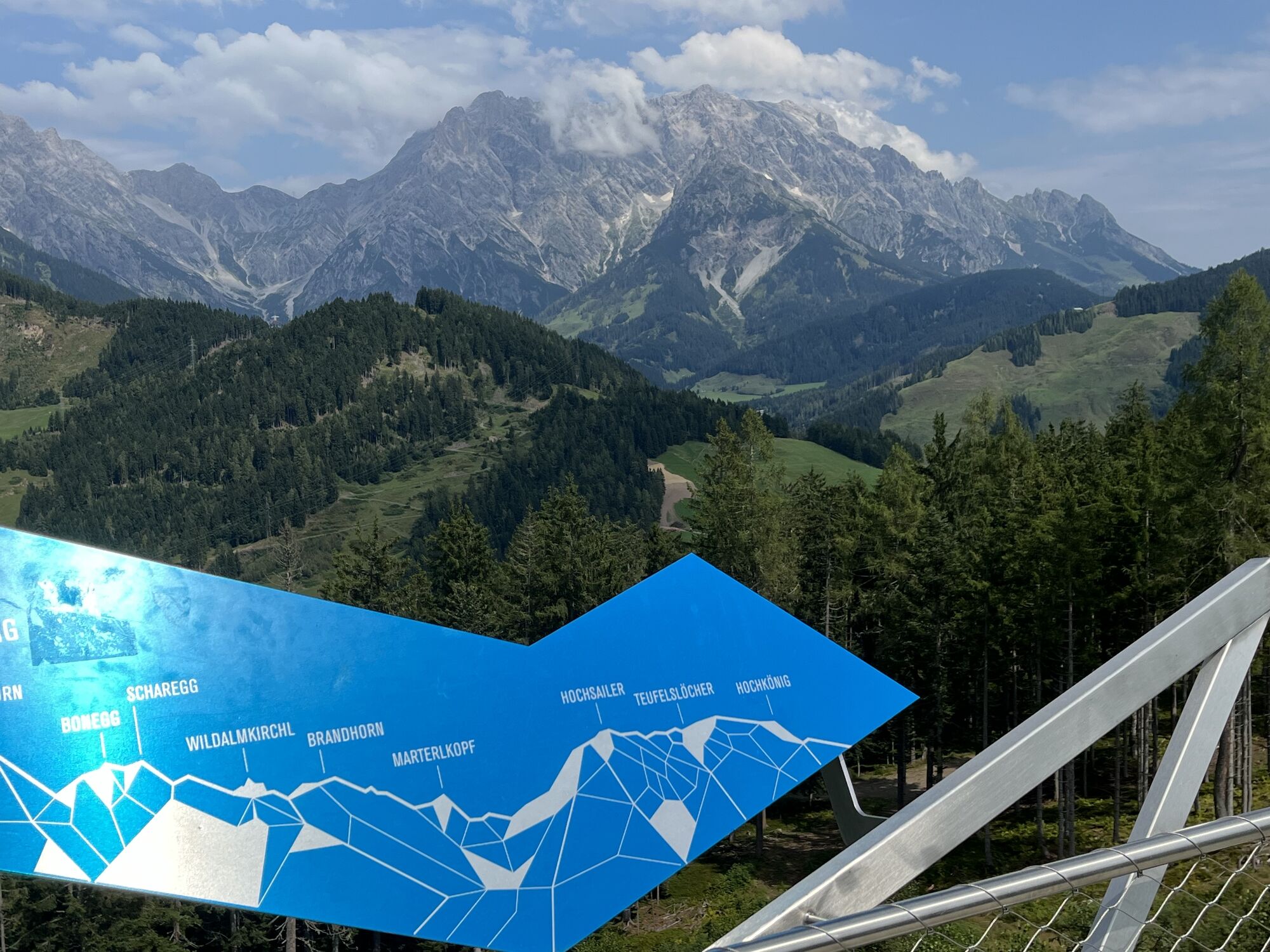
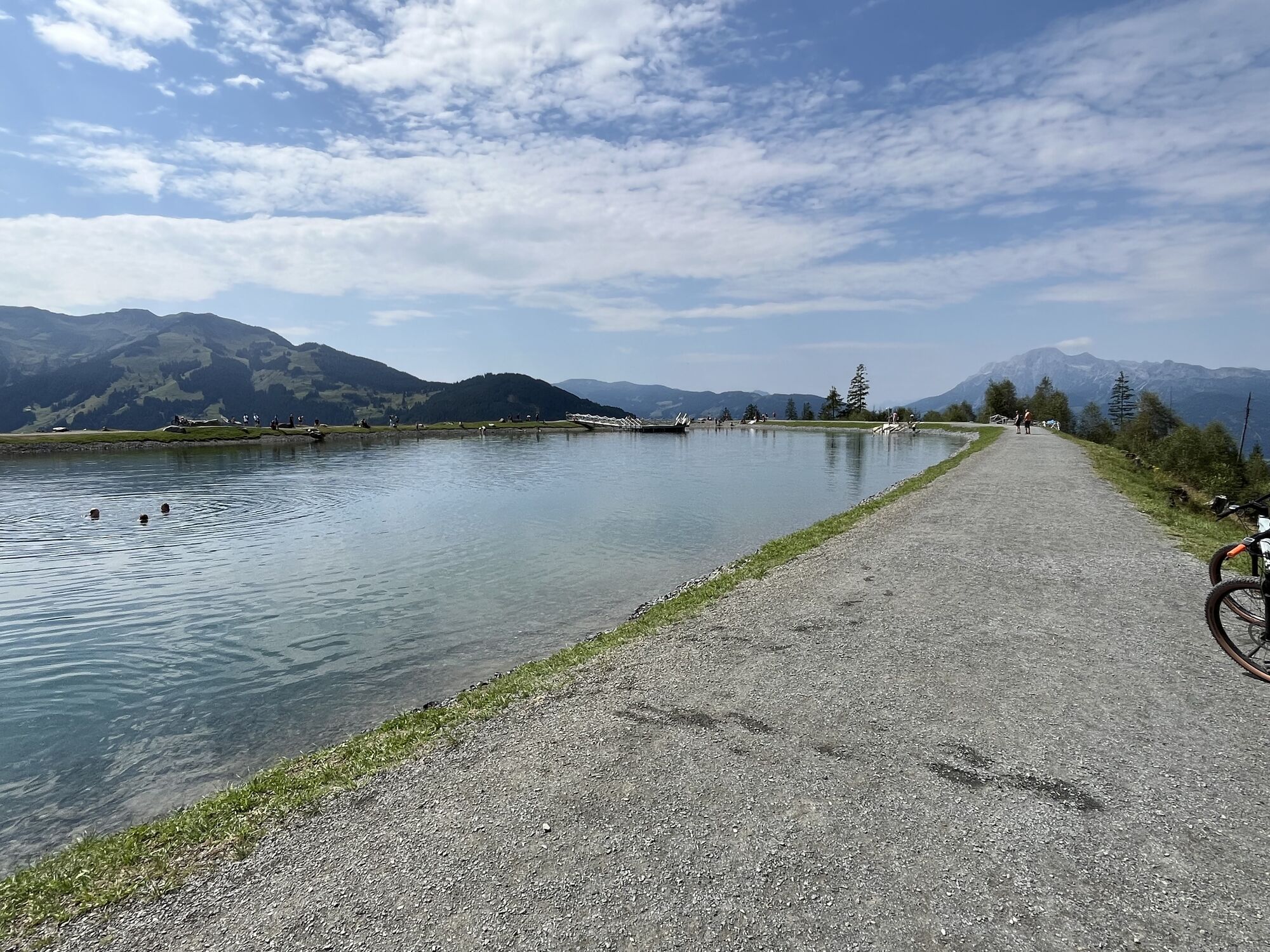
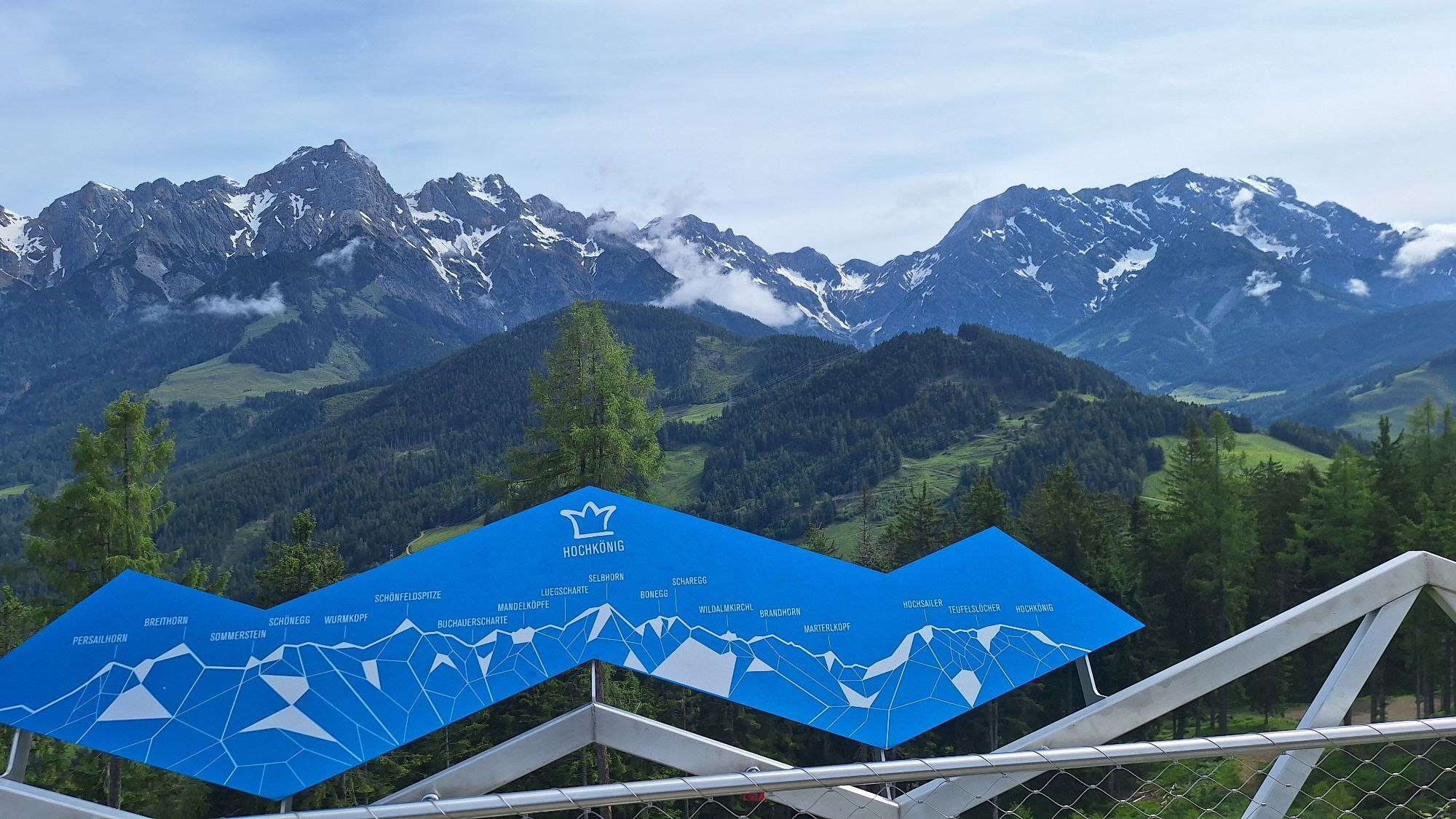
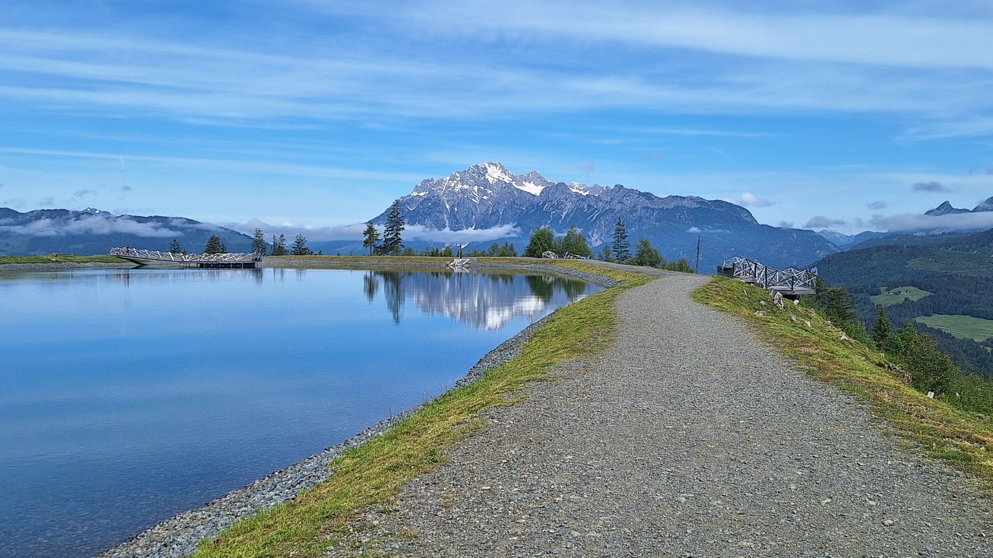
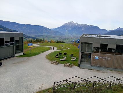
Start your varied hike at the Natrun cable car and enjoy the ascent, already offering your first views of the mountain landscape around Maria Alm am Steinernen Meer. From the mountain station, the trail...
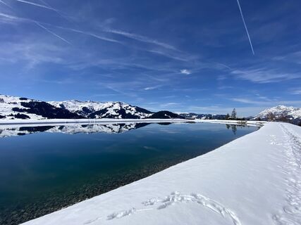
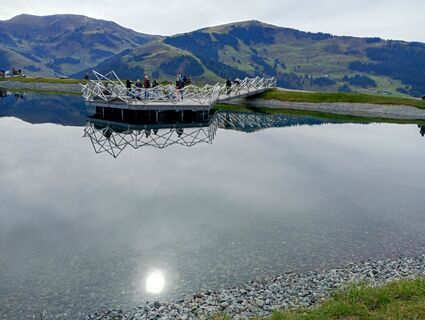
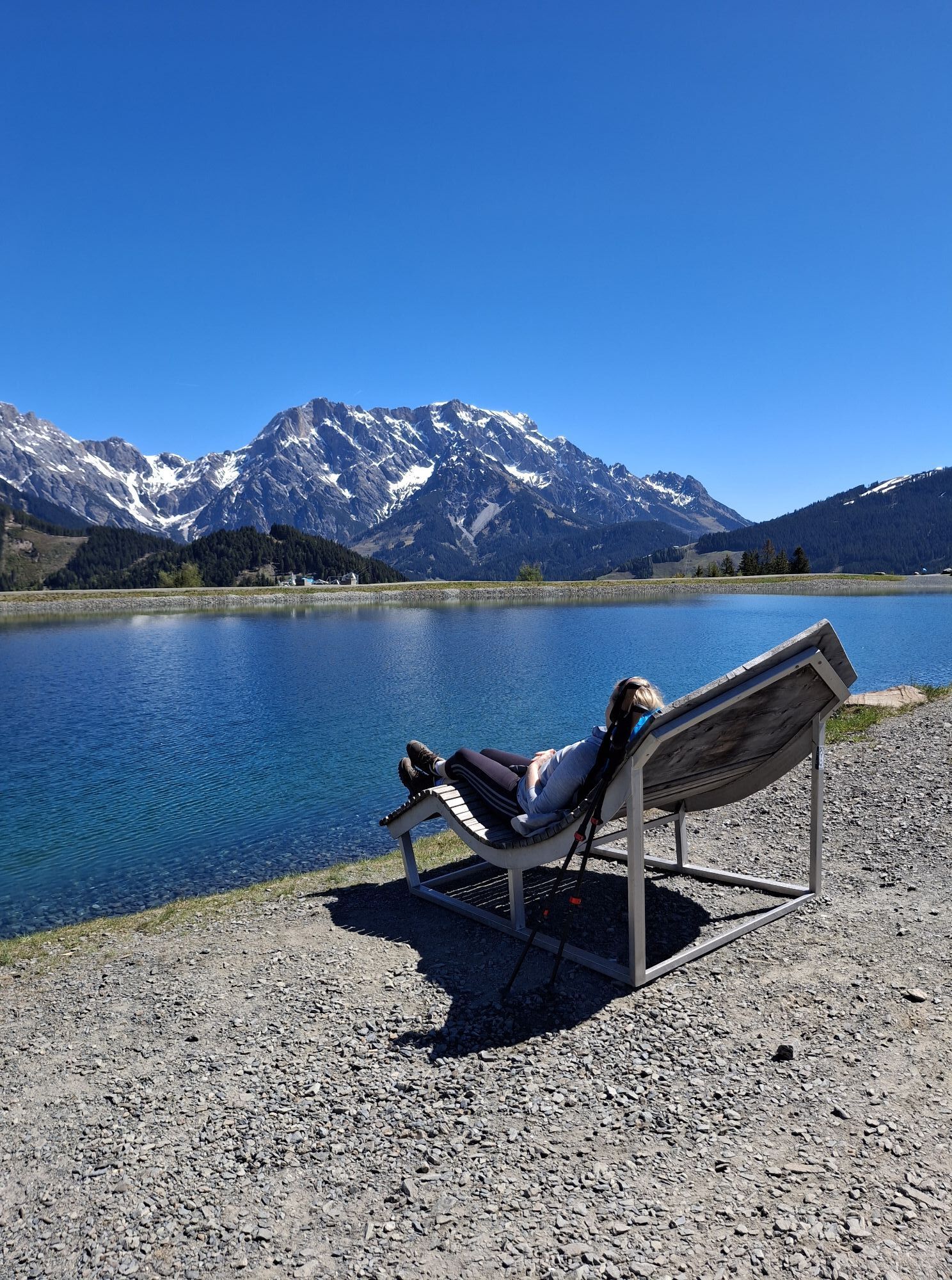
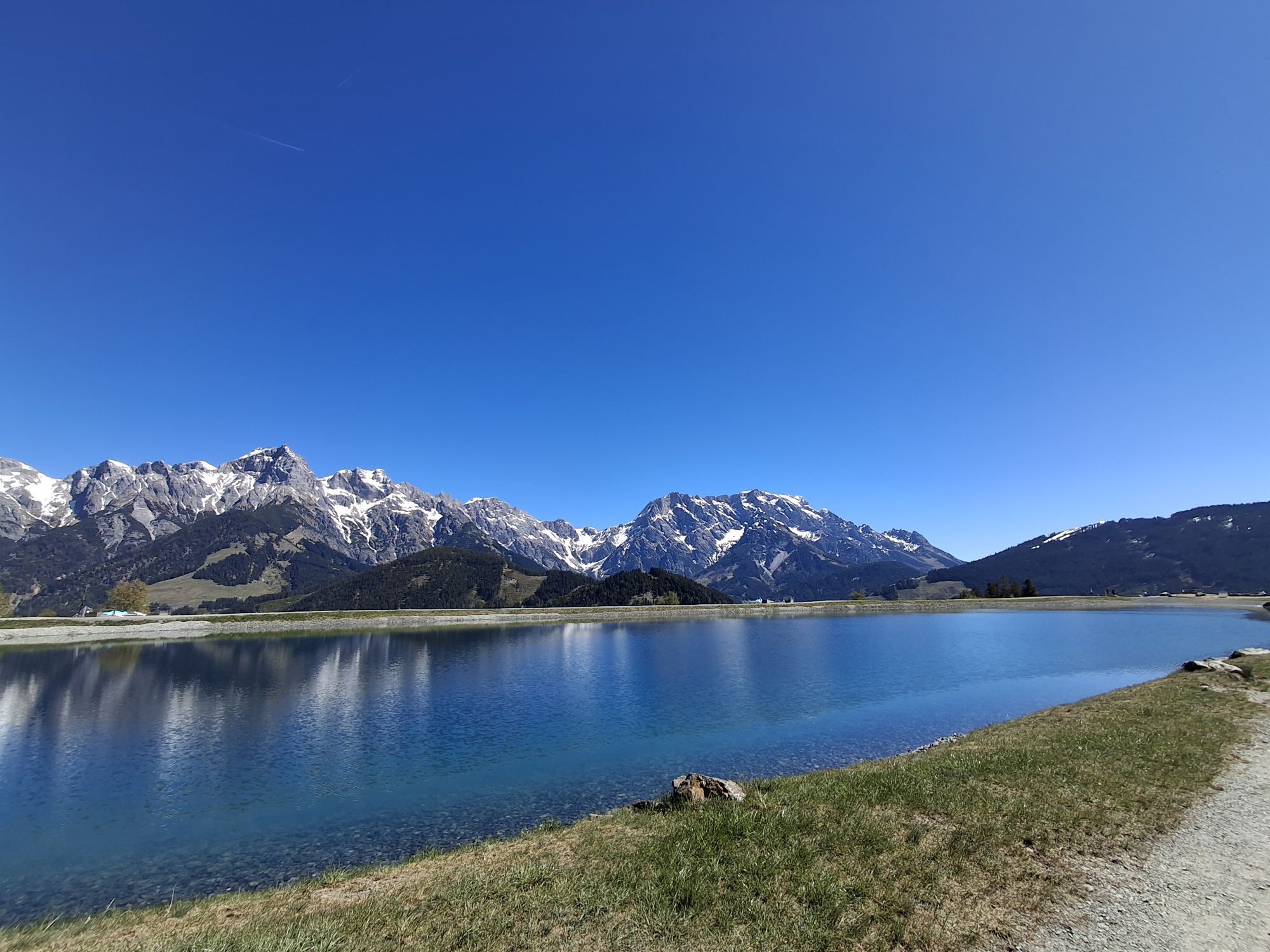
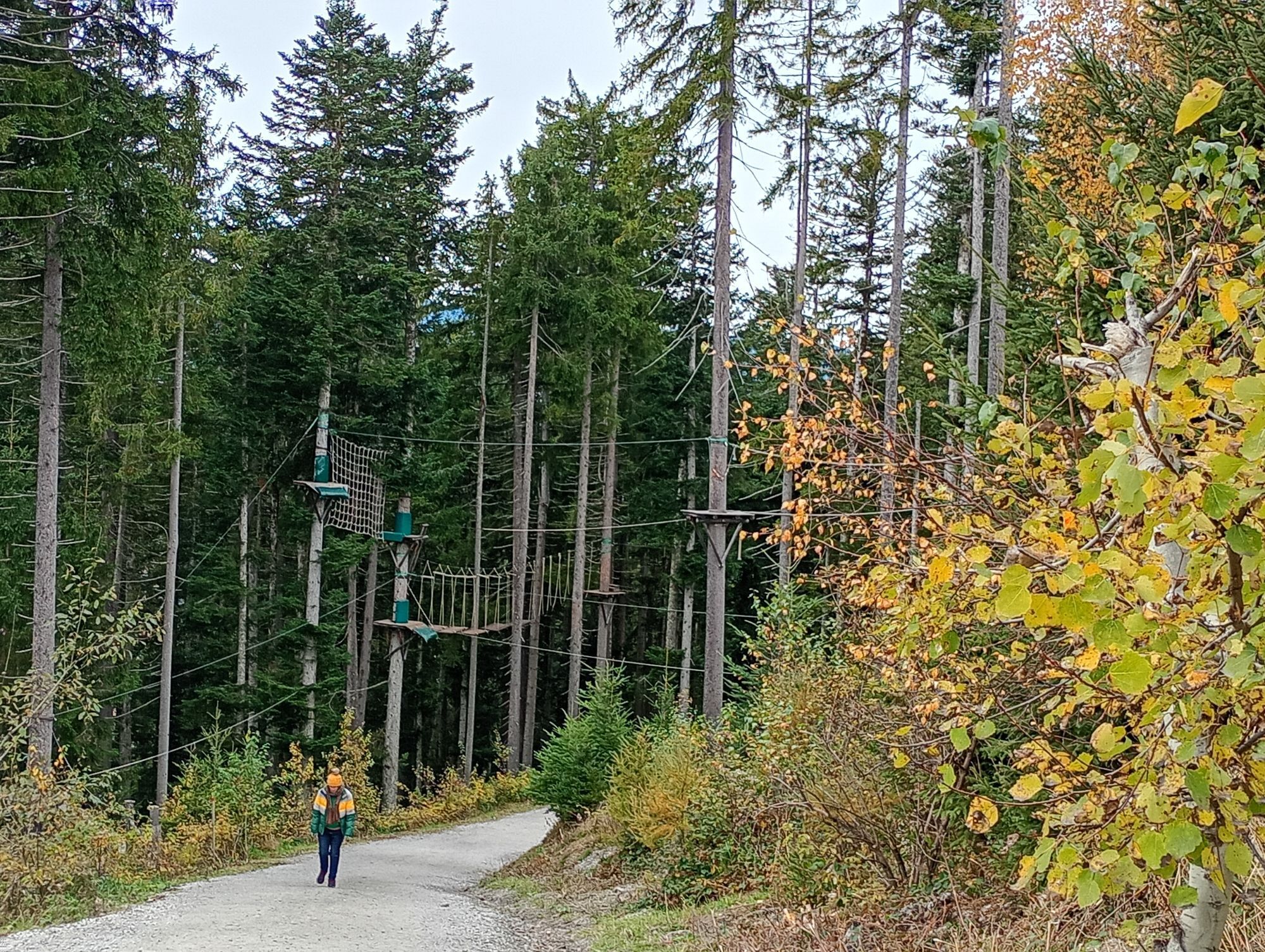
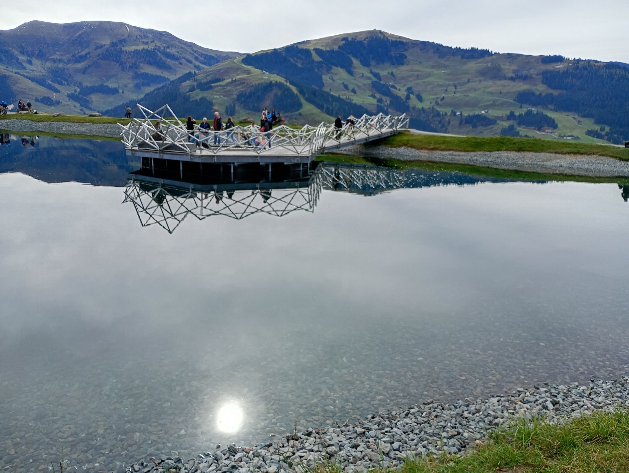
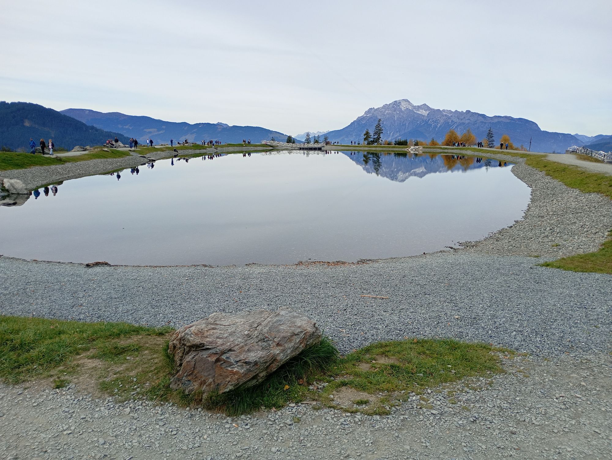
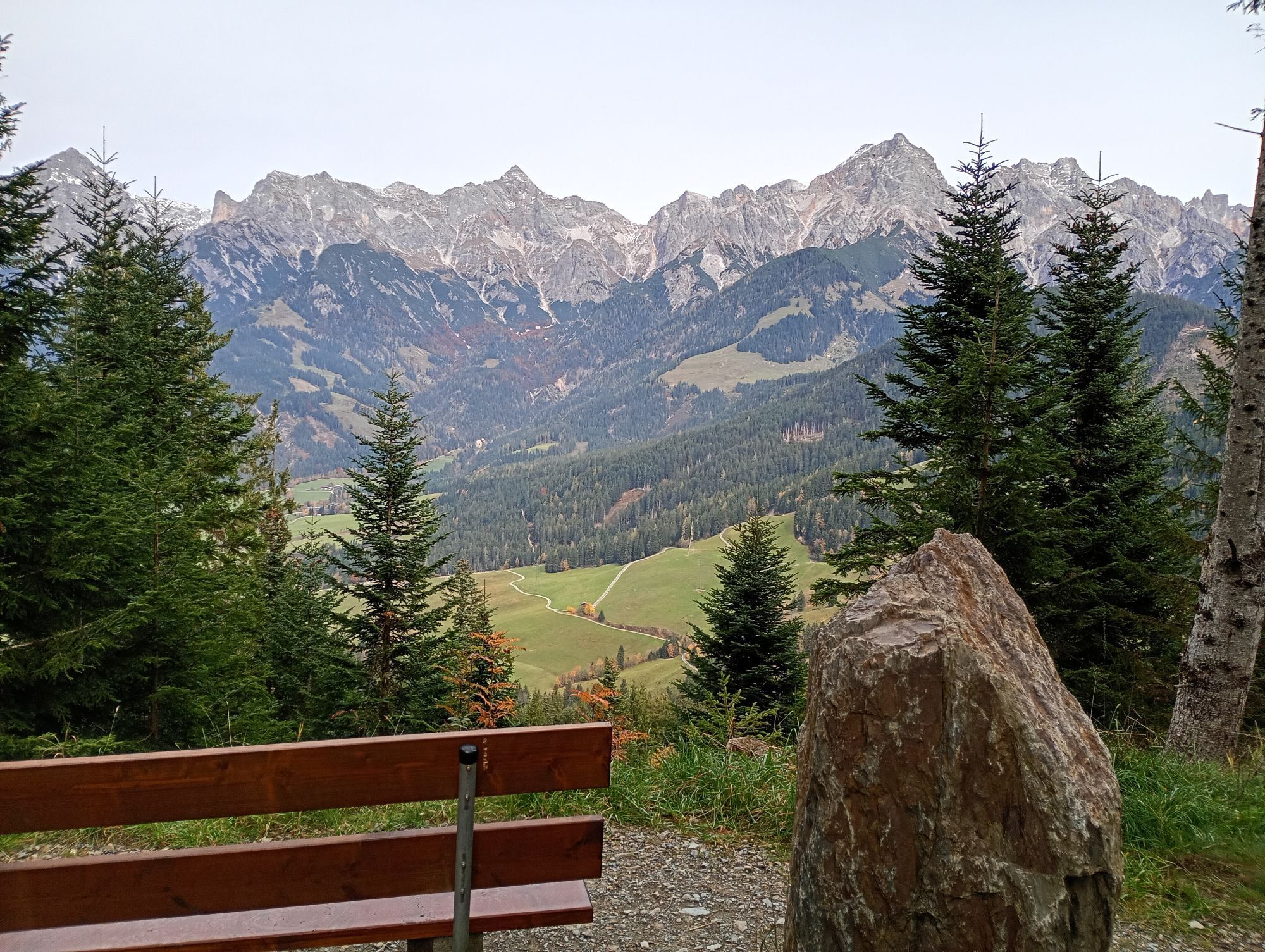
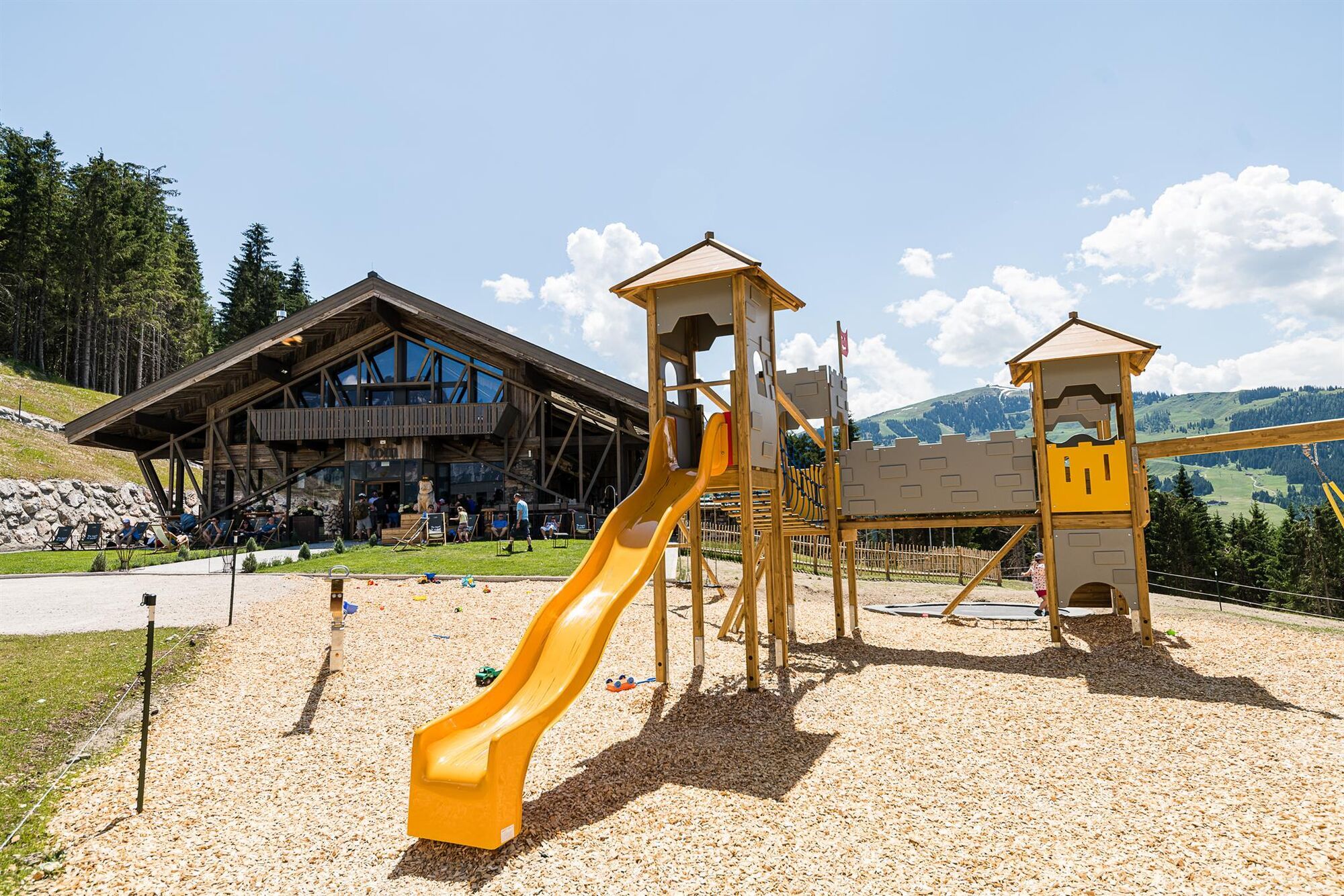
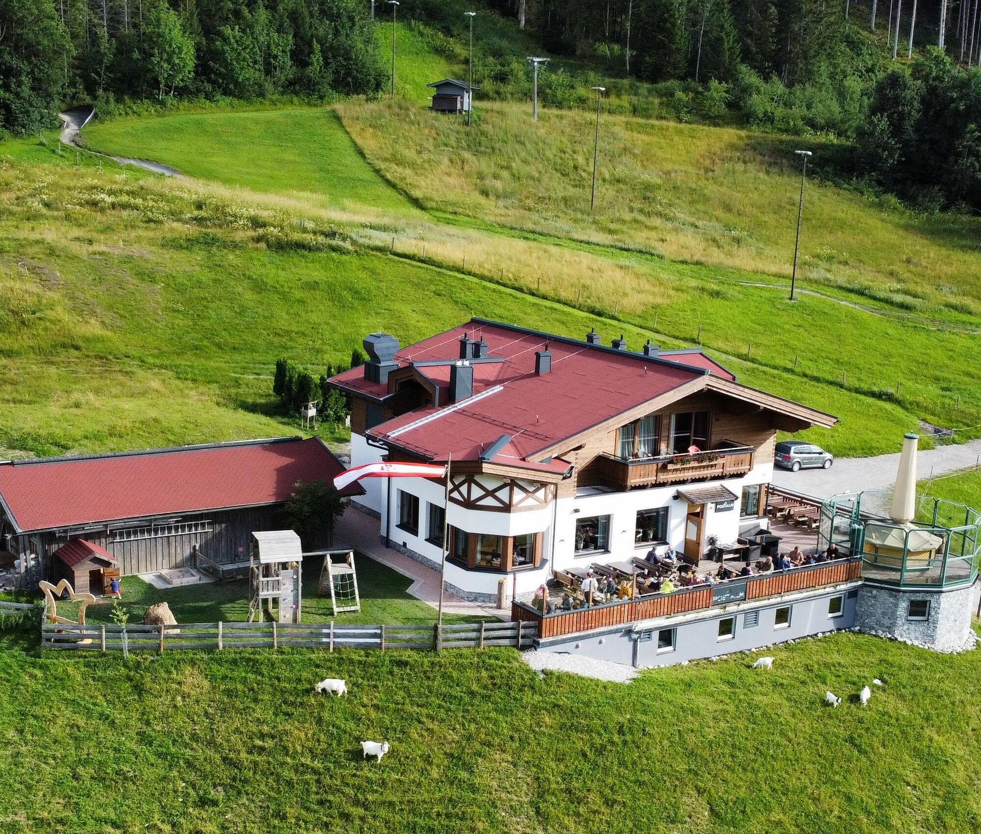
Start your varied hike at the Natrun cable car and enjoy the ascent, already offering your first views of the mountain landscape around Maria Alm am Steinernen Meer. From the mountain station, the trail continues via the Prinzensee to the Jufenalm, where the first letter of your puzzle journey awaits you. At the same time, you can visit the wildlife enclosure here and experience nature up close. The route then continues to the Grammlergut, where the next letter is already waiting for you. Along the way, the Schloss playground invites you to linger—there’s guaranteed to be no boredom here. The third letter is hidden at the Tom Almhütte, before you descend back into the valley via the forest slide park. At the Postalm, you will find the second-to-last letter of your puzzle. From there, the path leads you back toward the valley, accompanied by an interesting educational trail about local agriculture and animals. On your way back to the Natrun cable car, you make a short stop at the Dorfstadl, where the final letter awaits you. There you will also discover the solution to your puzzle. Once you have figured out the solution word, you can pick up your royal surprise at the tourist information office in Maria Alm am Steinernen Meer or at the ticket office of the Natrun cable car.

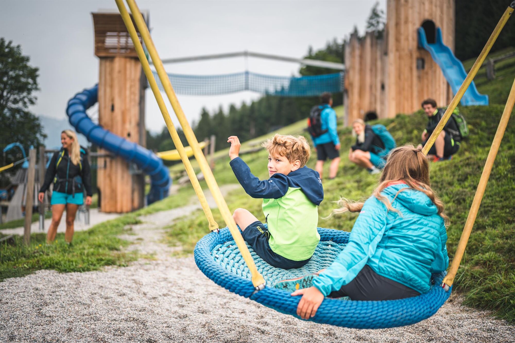
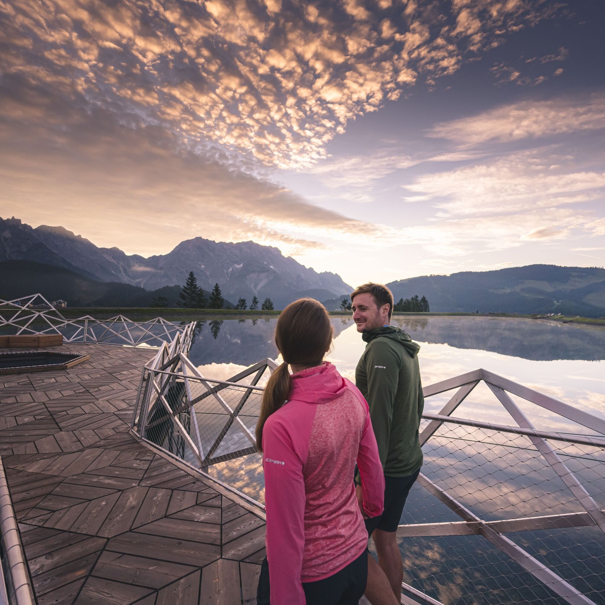
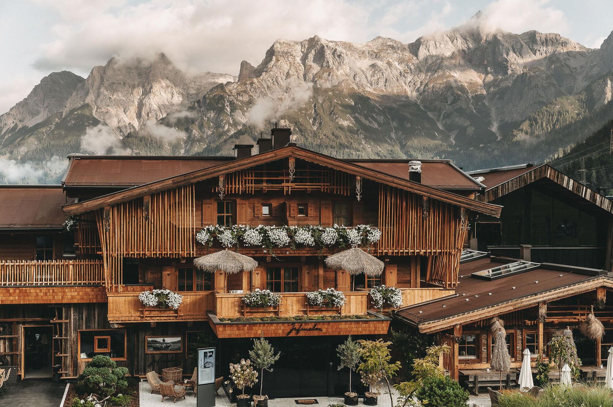
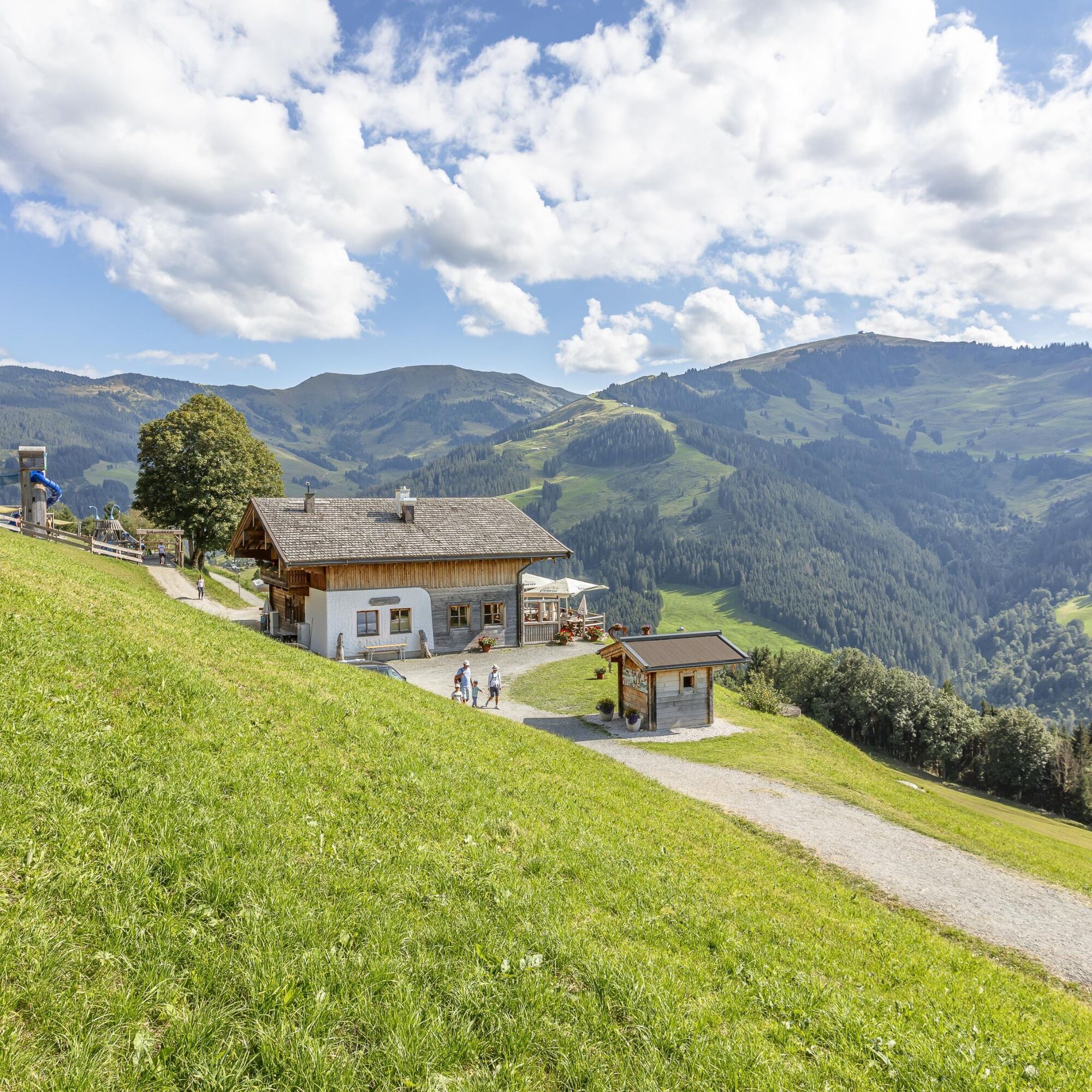
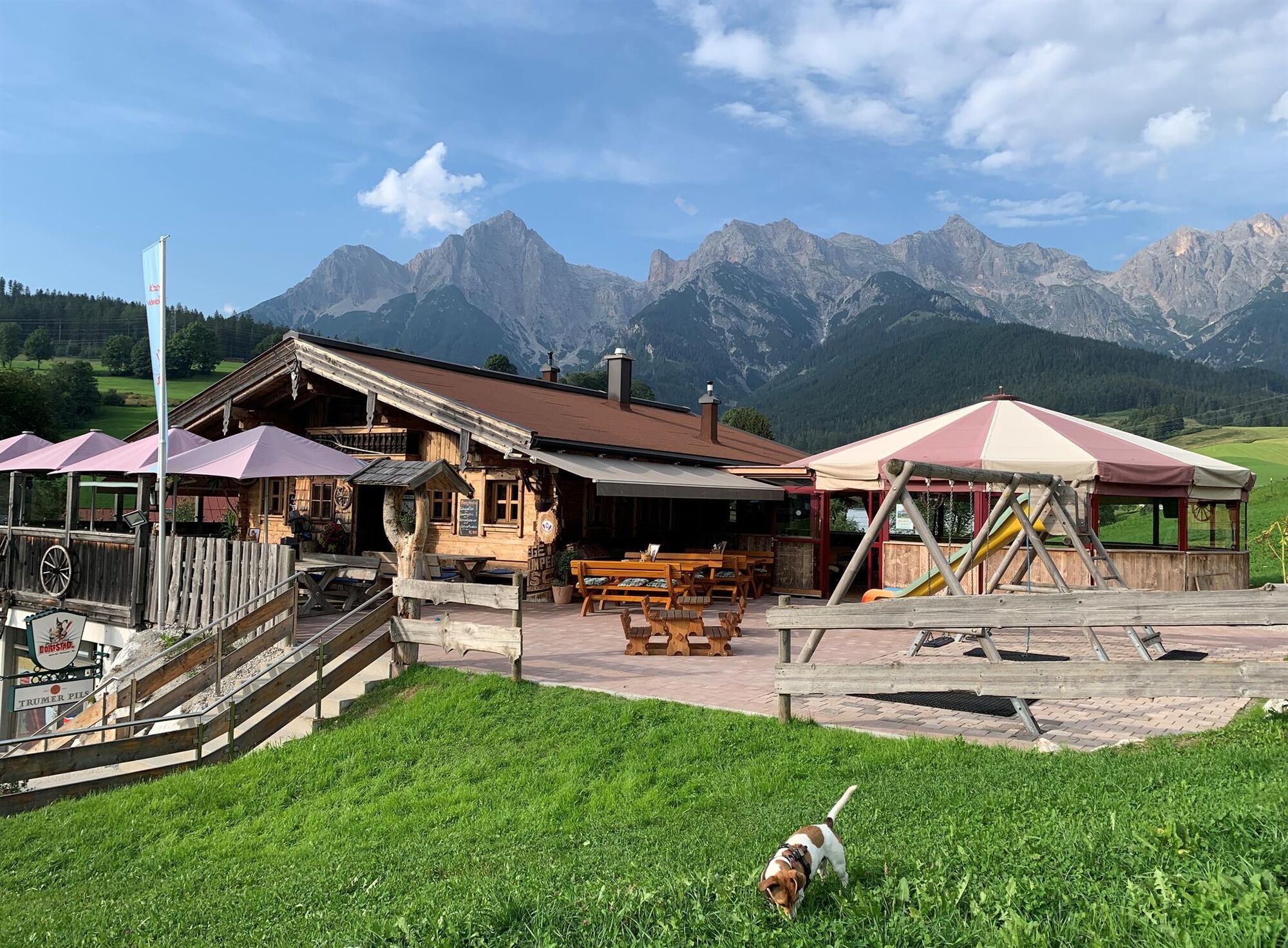
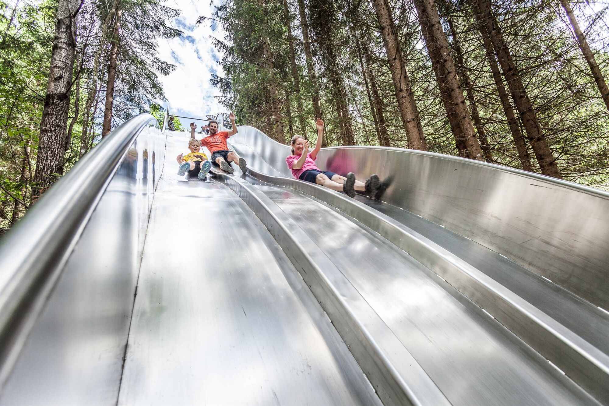

You start at the upper station of the Natrun cable car. From there, follow trail no. 401a via Prinzensee to the Jufenalm. At Jufenalm, walk a short distance back along the same path until you reach the fork. There, keep left and hike on trail no. 26a to Grammlergut.
Then continue your tour on trail no. 26a to the Tom Almhütte. From Tom Almhütte, go via the forest slide park back onto trail no. 26a or 26 in the direction of Postalm. From Postalm, follow trail no. 26 back to the valley station of the Natrun cable car, passing the Dorfstadl along the way.
Sí
Sí
Sturdy, ankle-high footwear
Hiking clothing
Hiking poles
Headwear
Sunscreen and sunglasses with UV protection
Rain protection
Beverages and a small snack
Necessary medications
First aid kit
Hiking map
Planning and preparation: Plan every intended mountain tour carefully in advance. Hiking maps and guides as well as information from alpine clubs and locals such as mountain guides and hut keepers can be helpful.
Equipment: In the mountains, you need appropriate equipment and clothing, especially sturdy, high shoes with grippy soles. Weather and cold protection are indispensable, as weather can change suddenly.
Weather forecasts: Observe current weather conditions at: zamg.at or www.uwz.at.
Togetherness: Observe the 10 rules for proper behavior with grazing animals and do not leave any waste in nature!
Do not dislodge stones: Do not dislodge stones as that can seriously endanger other hikers. Marked spots with rockfall risk should be crossed as quickly as possible with attention and caution. Turn back in time: This is no shame but a sign of reason. It becomes necessary if the weather deteriorates, fog sets in, or if the path is too difficult or not in good condition.
Emergency numbers: Alpine emergency: 140, International emergency: 112, Rescue: 144
Arrival coming from Innsbruck/Kufstein: On the Loferer Straße/B178 towards St. Johann i.T., then via the Hochkönig federal road/B164 via Saalfelden to Maria Alm-Hinterthal.A valid vignette is required for using the Austrian motorway and expressway network. Also obligatory to carry: first aid kit, warning triangle, and safety vest. More information at Asfinag.
Bus line 620: Timetable information
Hiking bus: Timetable information
Free parking is available in the town center or at the entrance to Maria Alm.
For detailed information about hiking maps, opening hours of the mountain railways, as well as huts and alpine pastures in summer, we recommend visiting the service center on site. There you will receive not only the hiking map but also valuable tips for the best hiking routes and current conditions.
Opening hours of the mountain railways in summer: The mountain railways offer various opening hours during the summer months, which can vary depending on weather and season. Please check in advance for the current operating hours.
Opening hours of the huts & alpine pastures in summer: The huts and alpine pastures in the region are ideal rest stops for hikers. Here too, opening hours can vary depending on season and day of the week. Let the friendly hosts advise you about the offers and specialties on site.
For more information please visit our website: www.hochkoenig.at.
If you have questions or want to get specific information, feel free to contact us:
Email: region@hochkoenig.at
Phone: +43 (0)6584 20388
We look forward to helping you and wish you lots of fun exploring the beautiful hiking region Hochkönig!
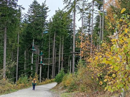
Along the hike include the beautiful Prince’s Pass with its search for the mysterious solution word, the exciting wildlife enclosure, the idyllic Prince’s Lake, the varied castle playground, the action-packed forest slide park, as well as the educational trail “Discovering and Understanding Local Agriculture” with its informative display boards – all of this can be experienced and discovered in a single hike.
Infórmate
Siempre en directo con más de 9.500 webcams. bergfex Como usuario Pro, ahora puede ver las webcams correspondientes a muchos tours en la app de tours desde. Esto le permite ver las condiciones actuales directamente.
Rutas populares en los alrededores
-
4,8
Ruta conquistador de la cumbre Lauskopf
pesadoSenderismo 8,16 km -
5,0
Königssee - Kärlinger-Haus
Senderismo 10,1 km -
4,2
Maria Alm - Riemannhaus
Senderismo 3,99 km -
4,8
Ruta de ascenso a la cima Taghaube
pesadoSenderismo 6,25 km -
4,7
Sobre el "recorrido de las Cuatro Cabañas" a Windraucheggalm
medioSenderismo 10,1 km -
4,6
Steinalm
luzSenderismo 2,71 km -
4,2
Schwalbenwand Nr. 80, 81, 82
medioSenderismo 13,0 km -
4,3
Cabaña Peter-Wiechenthaler
medioSenderismo 4,32 km -
4,8
Hochkönig - Gipfel der Gefühle - Matrashaus
pesadoSenderismo 20,9 km -
4,4
Caminata por alms y refugios "Hochmaisalm & Steinbockalm"
medioSenderismo 8,10 km
Senderismo y rastreo


No se pierda las ofertas y la inspiración para sus próximas vacaciones
Su dirección de correo electrónico se ha añadido a la lista de correo.





