


Around the Dachstein

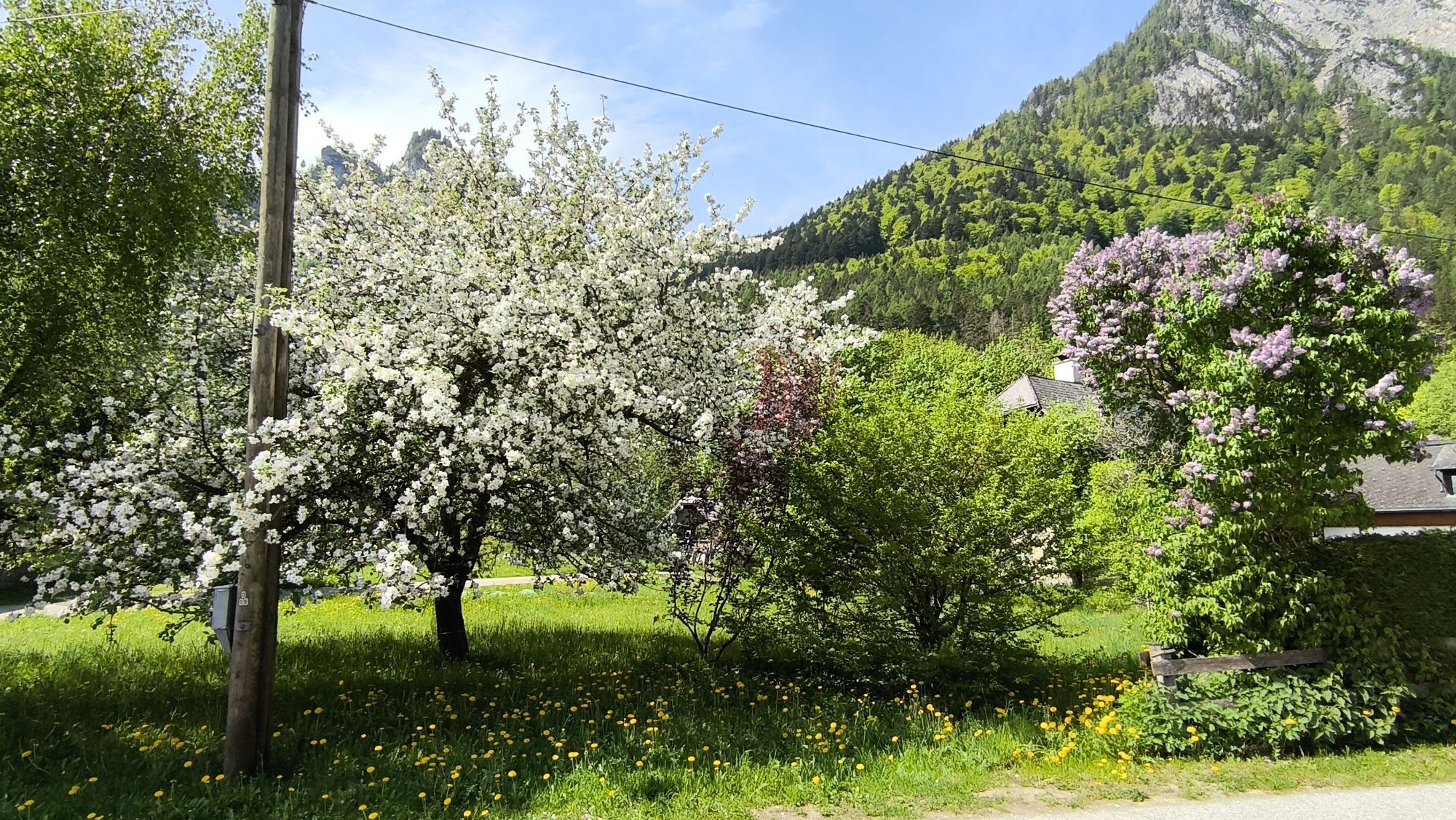

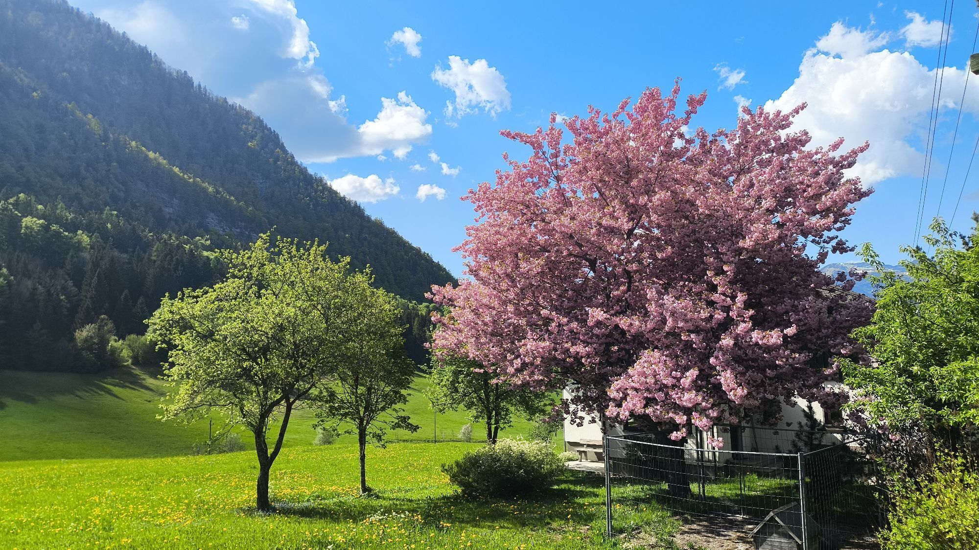


This tour crosses the three federal states Salzburg, Syria and Upper Austria.
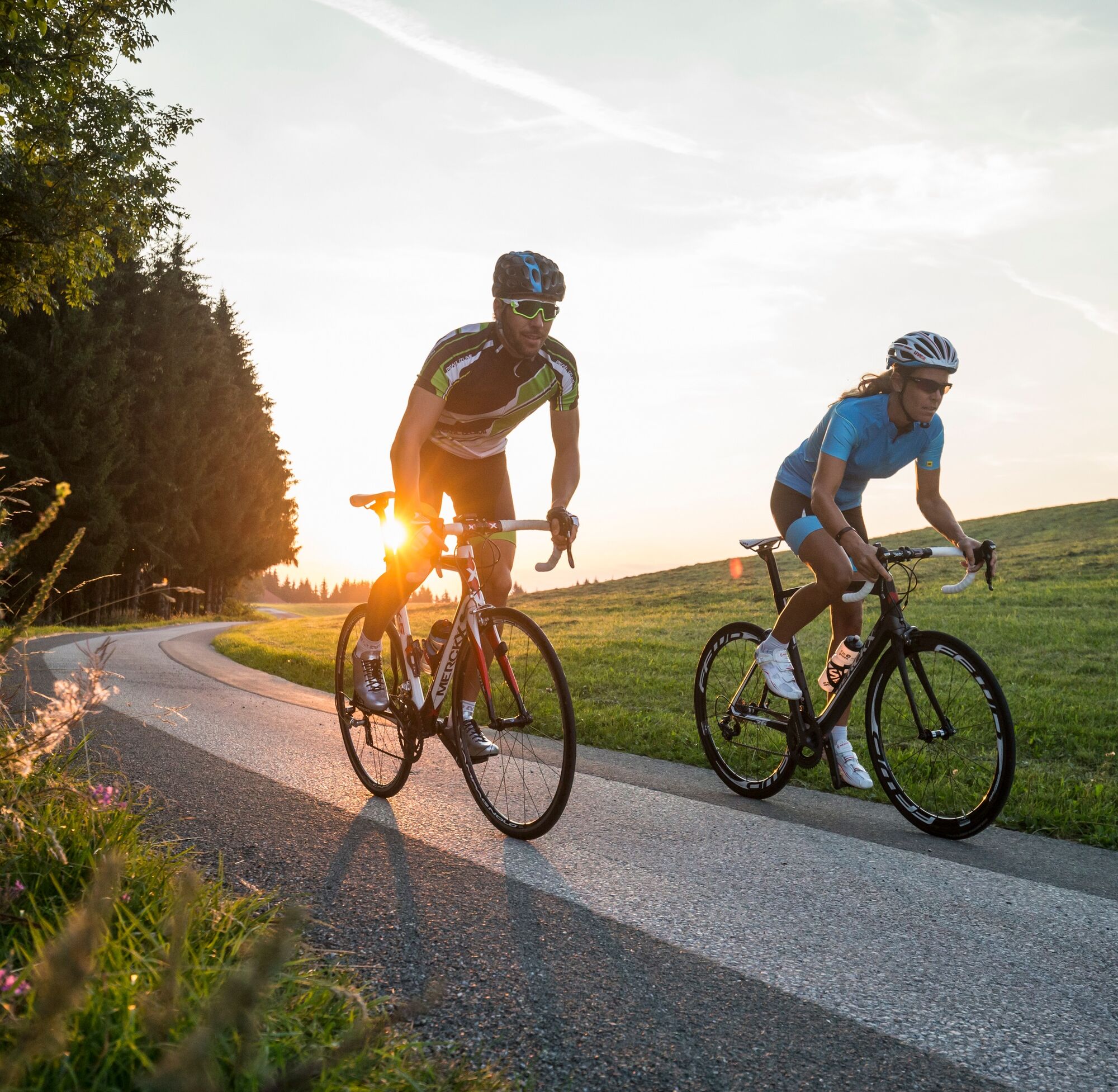
Start at the Kleinarl or Wagrain tourist office. In Wagrain take the crossing to direction Flachau and continue through Schwaighof...
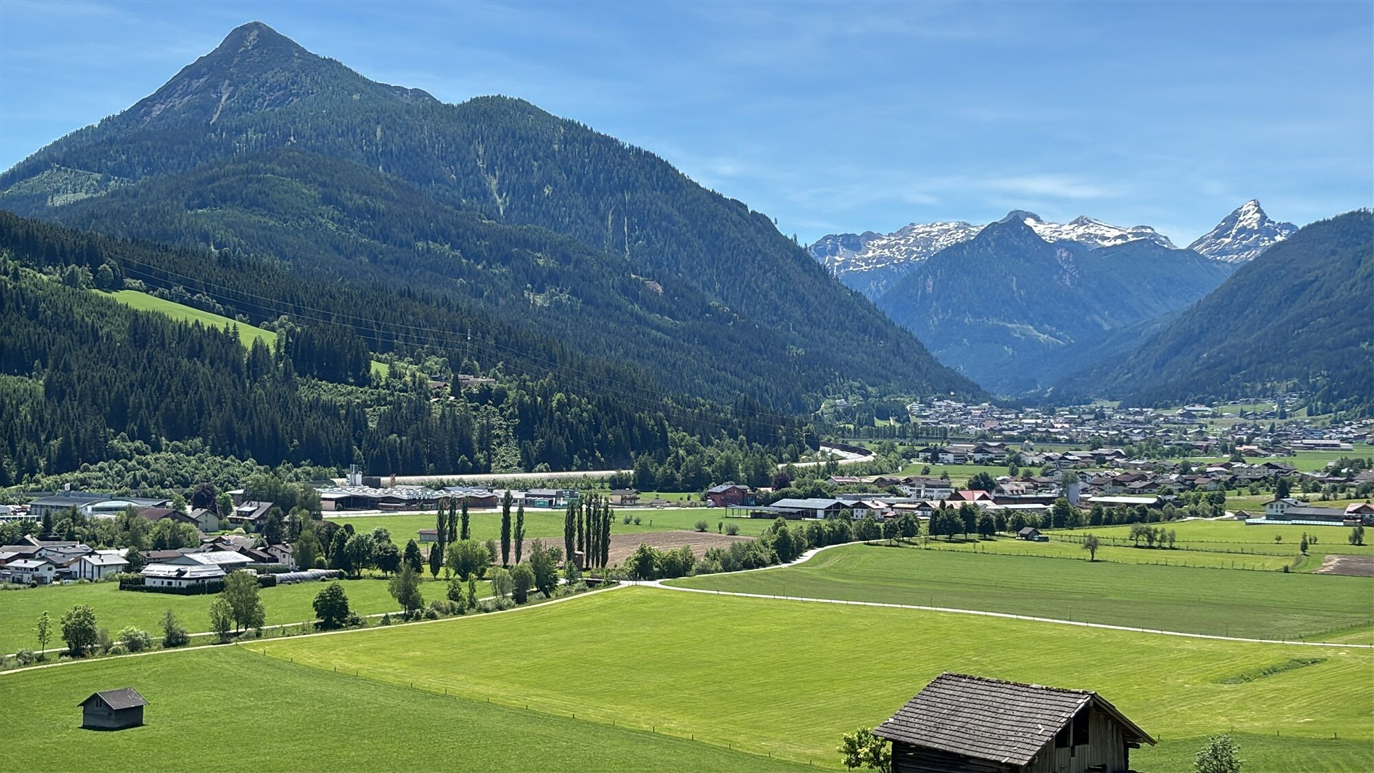
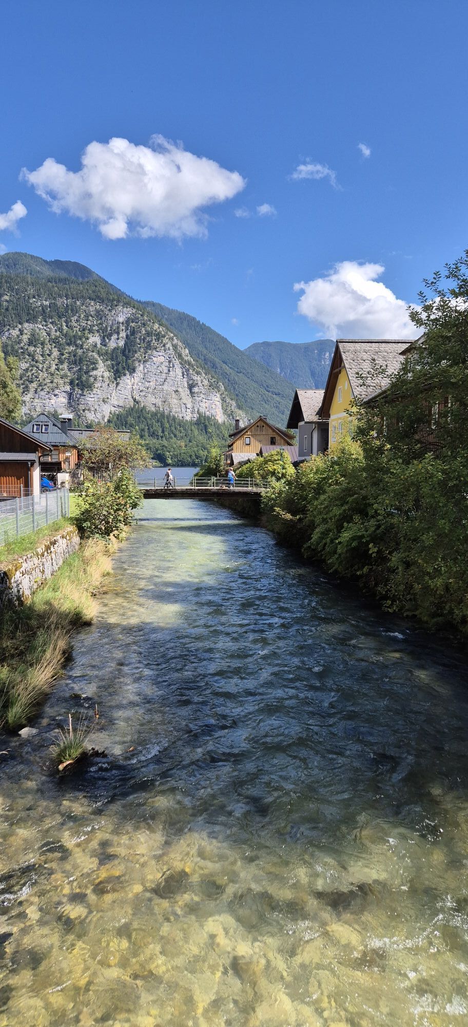
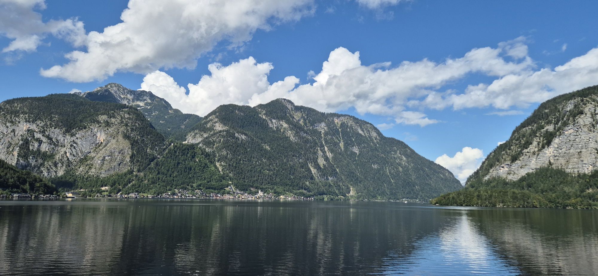
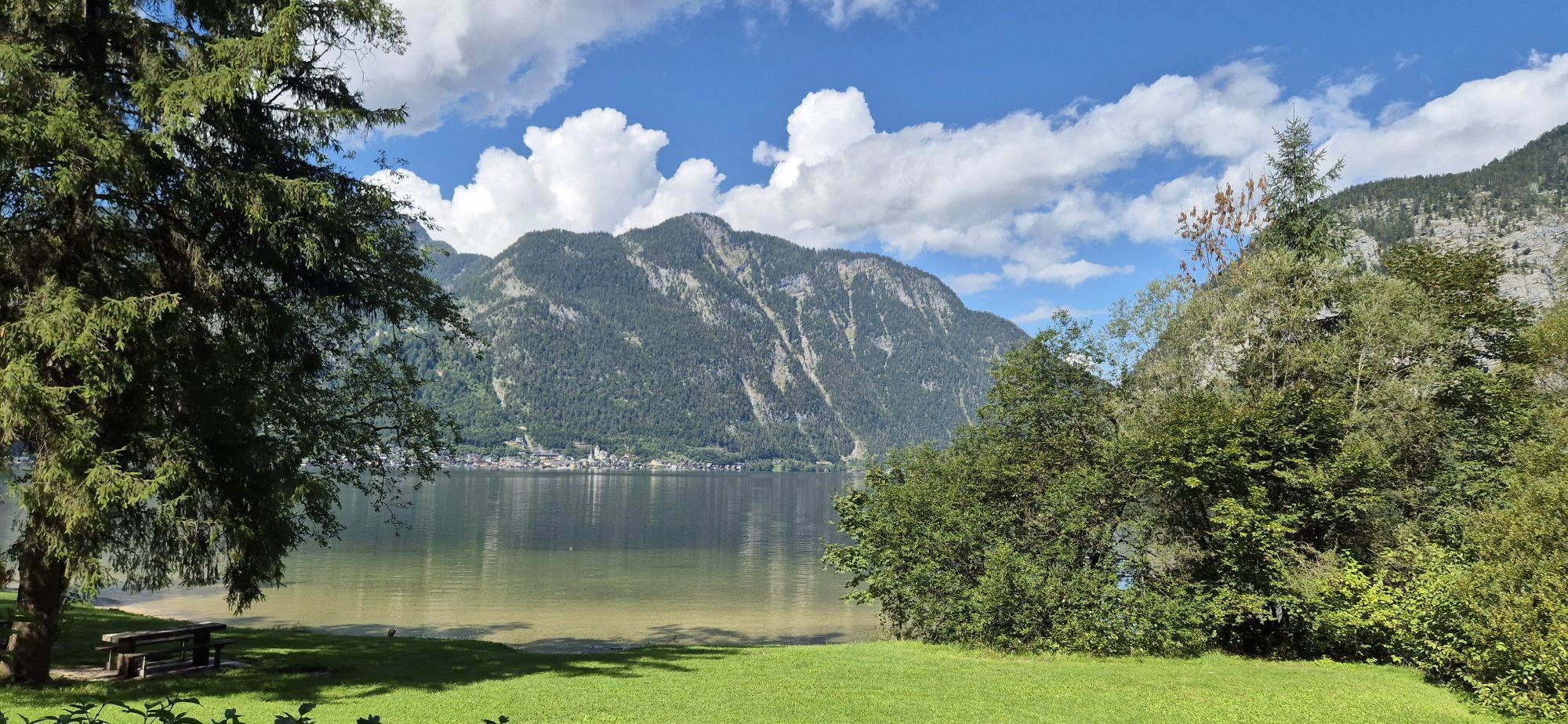
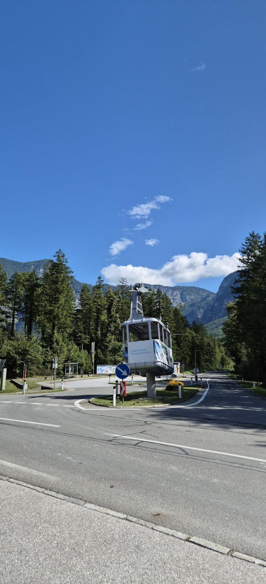
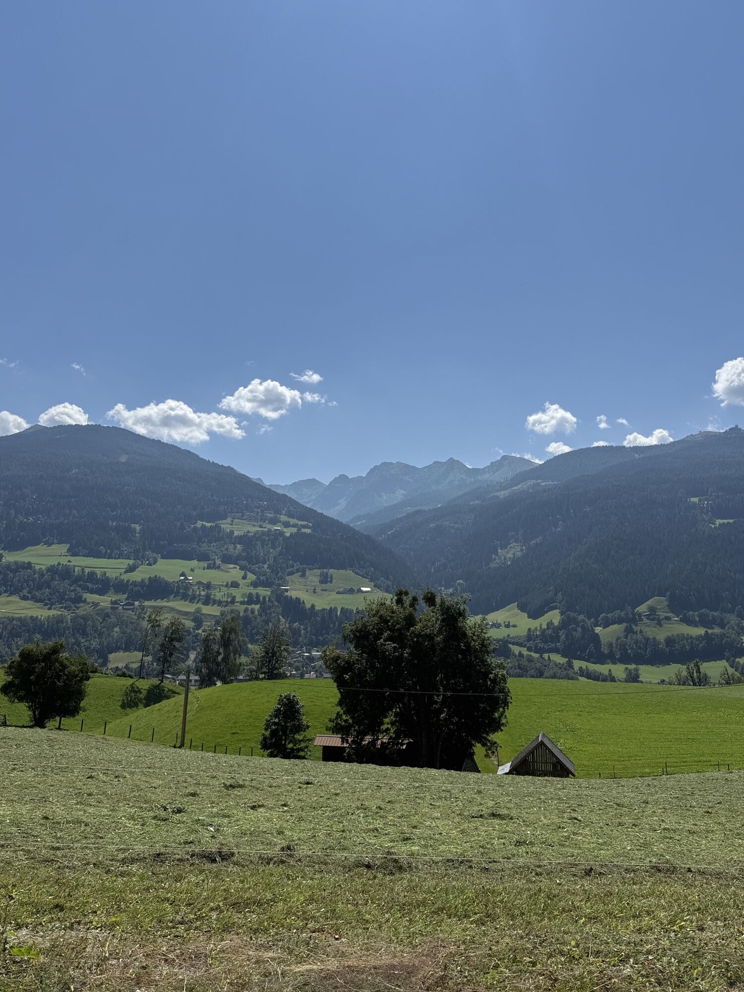
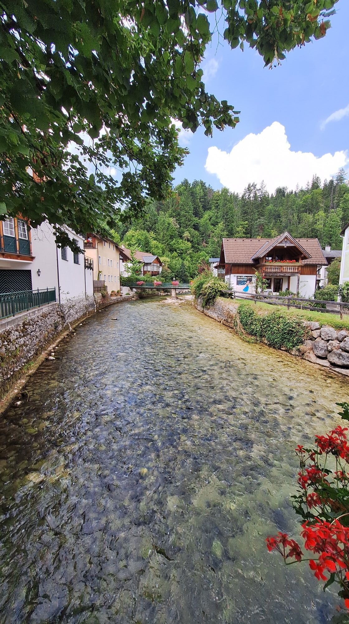
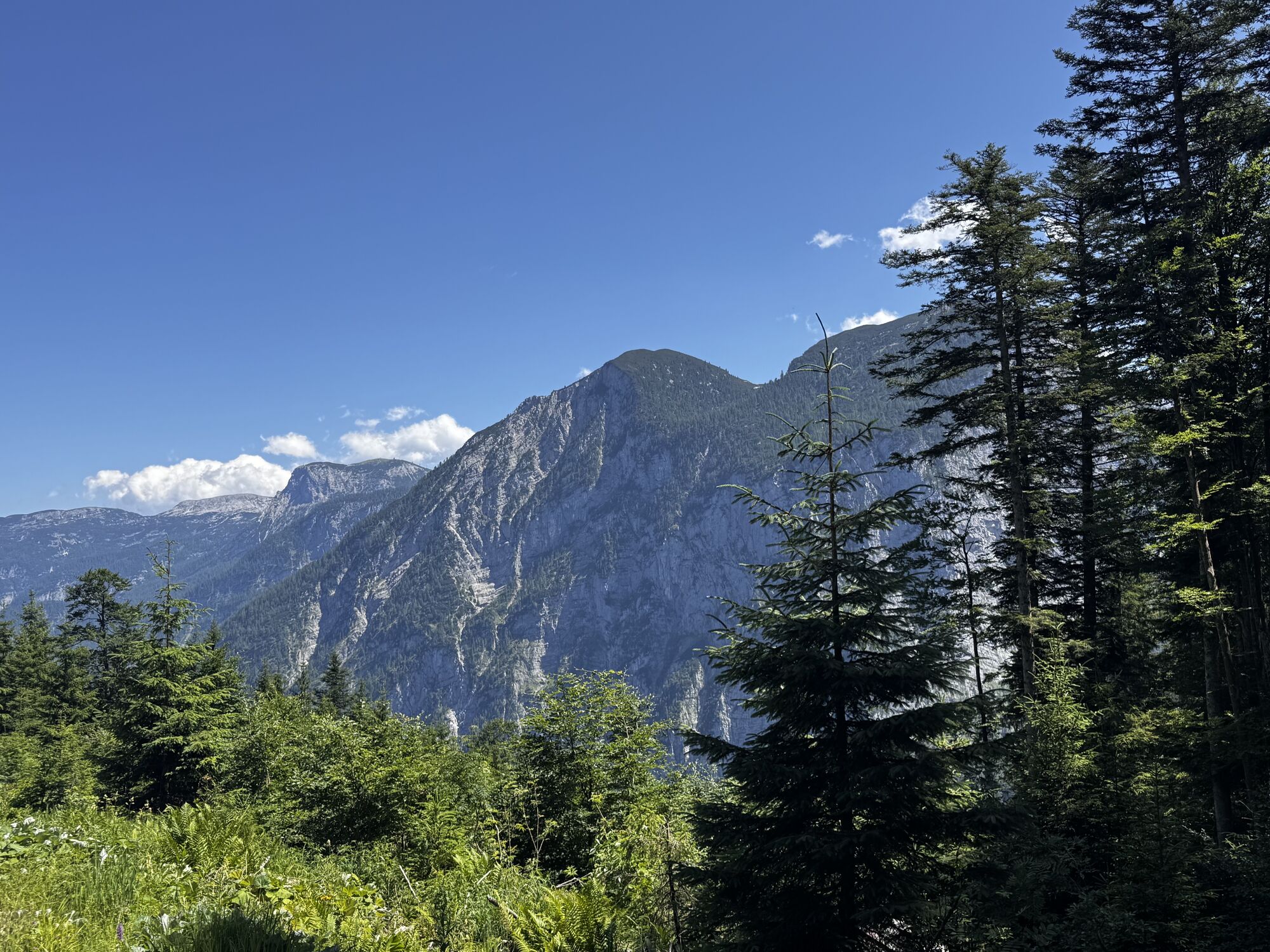
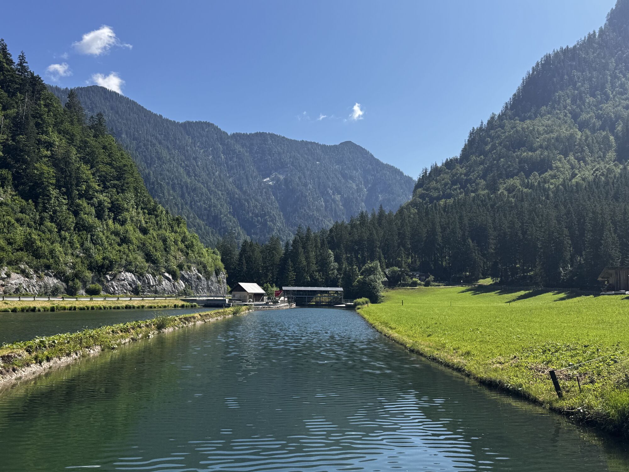
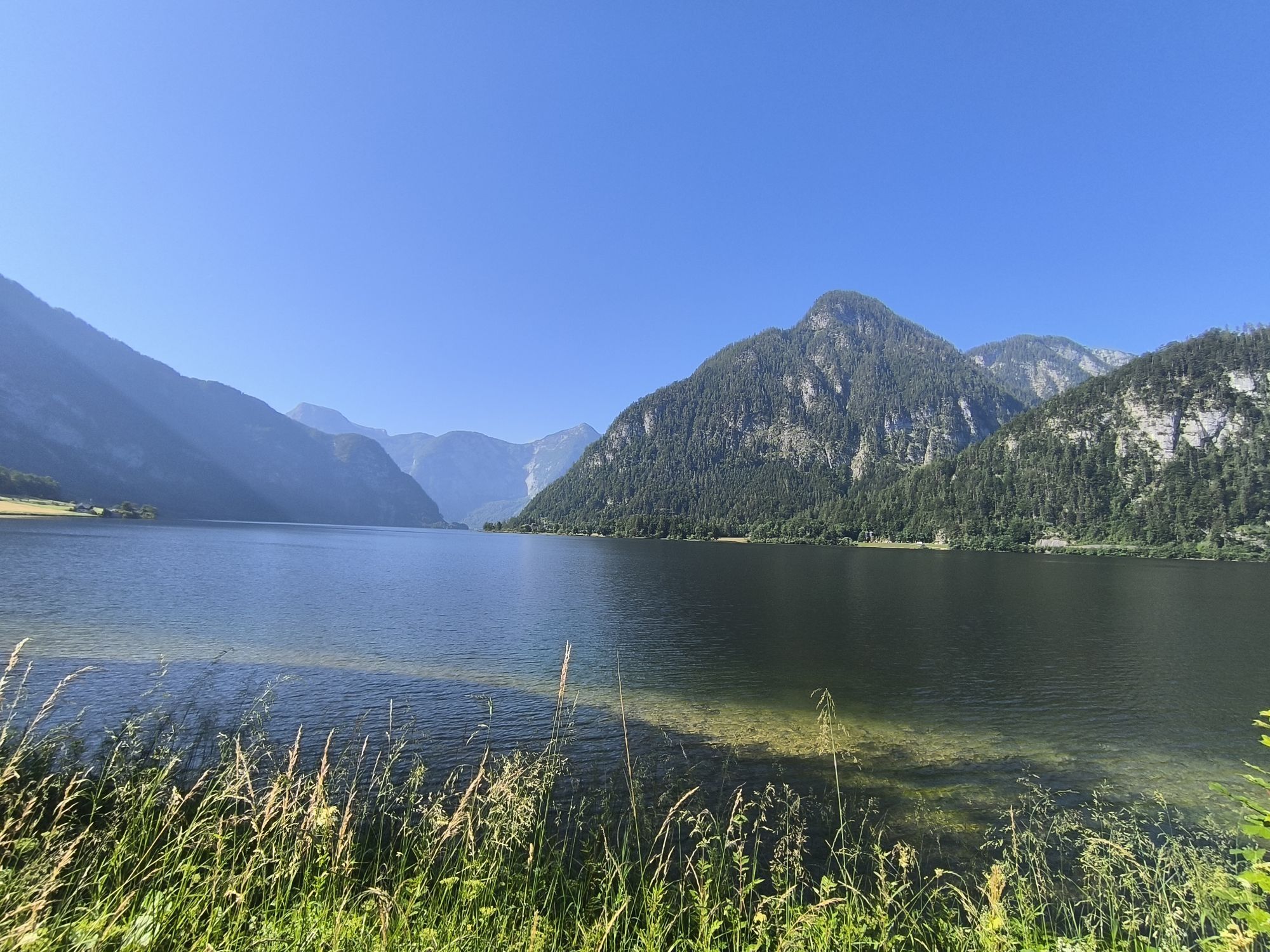
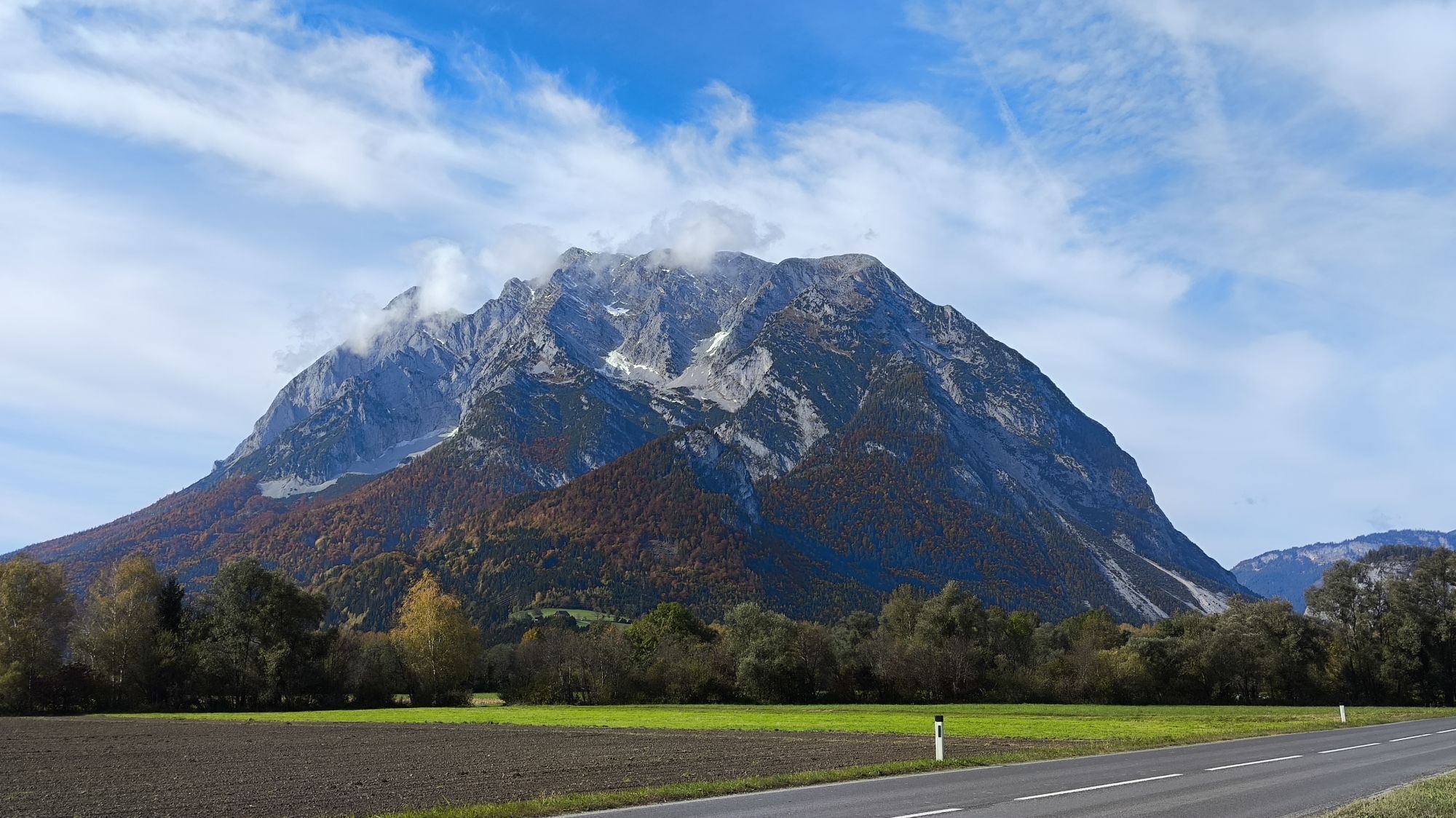
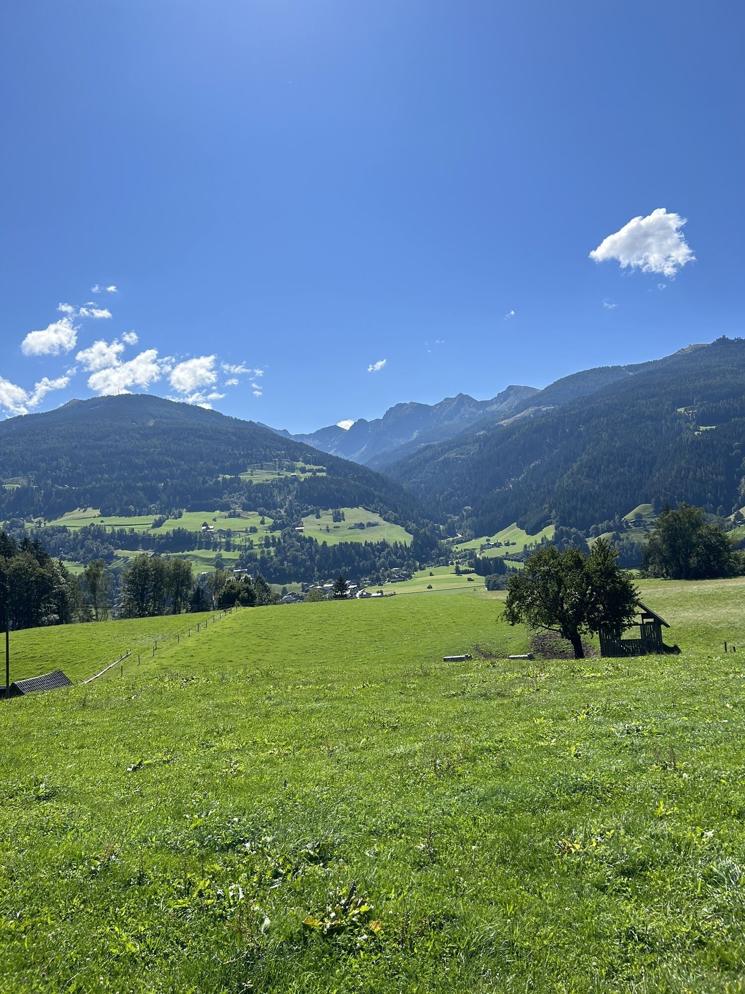
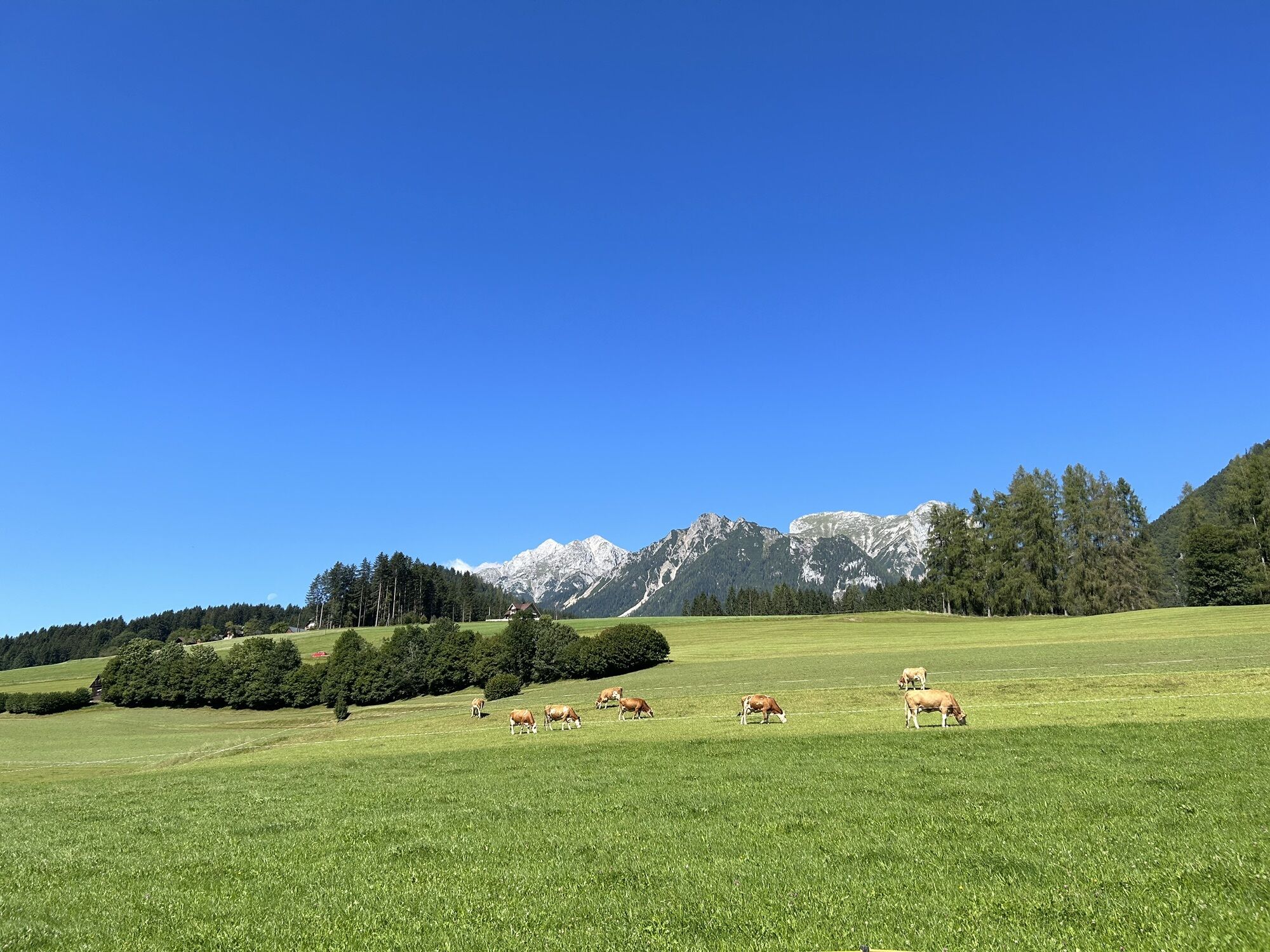
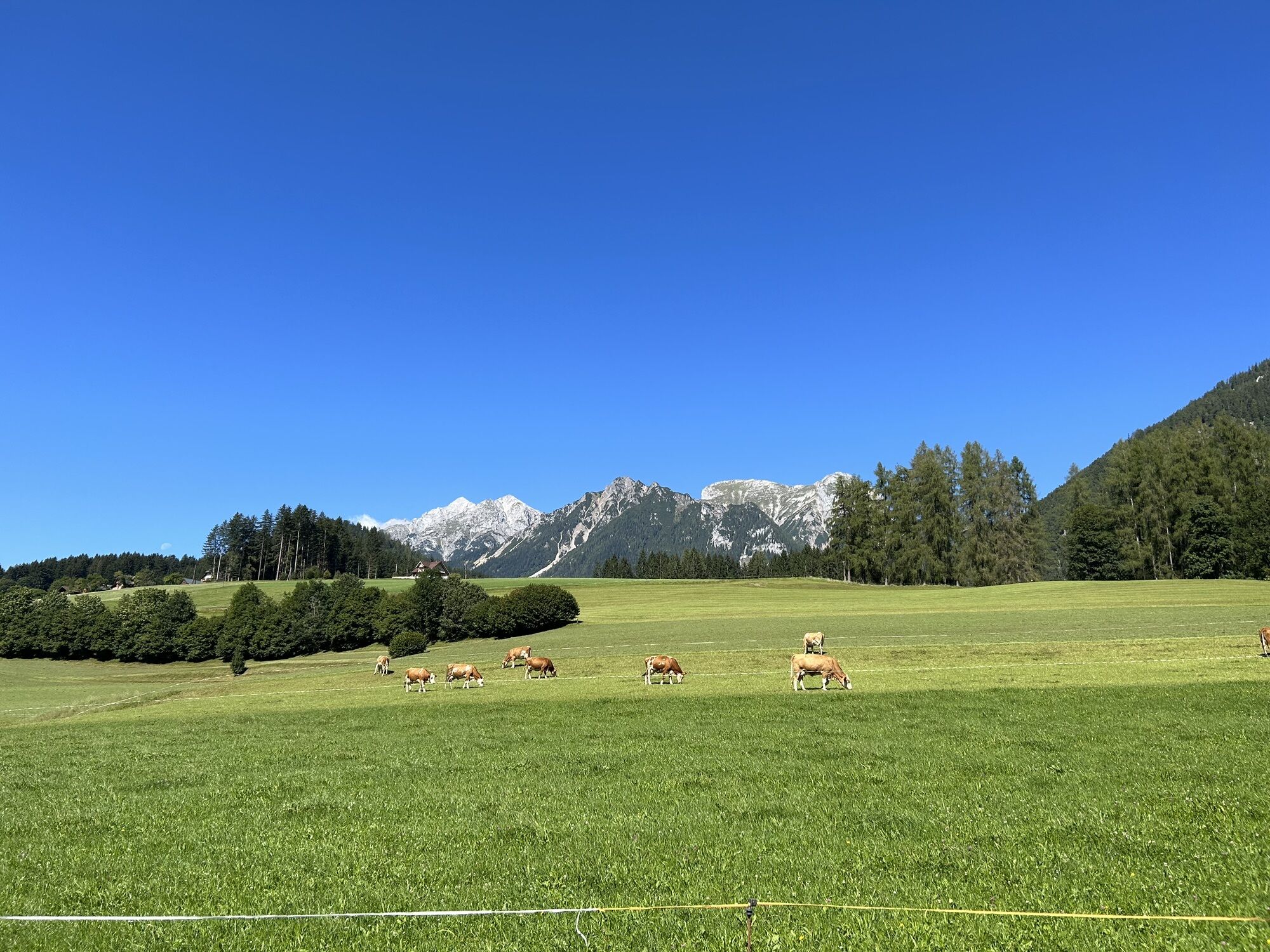
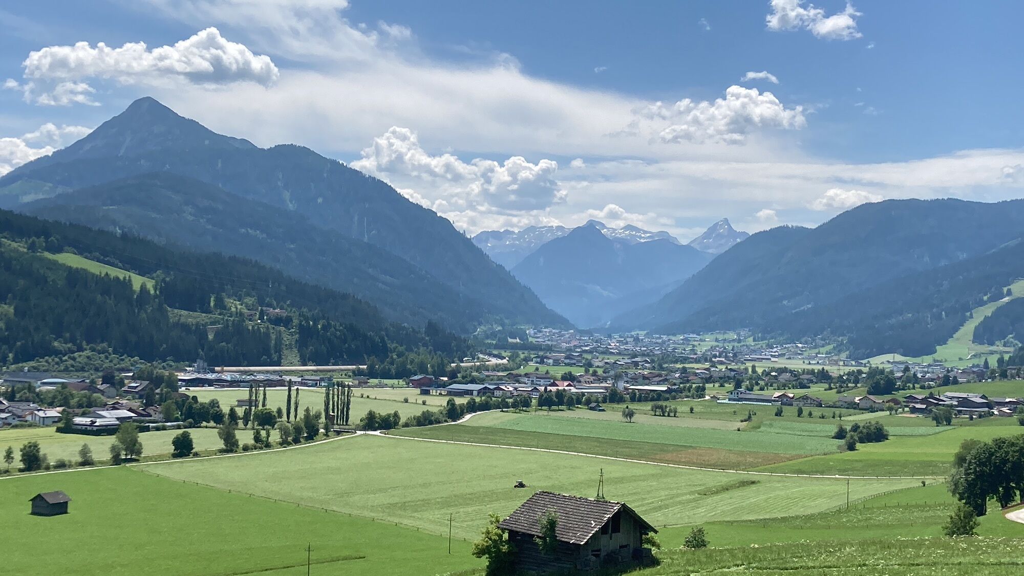
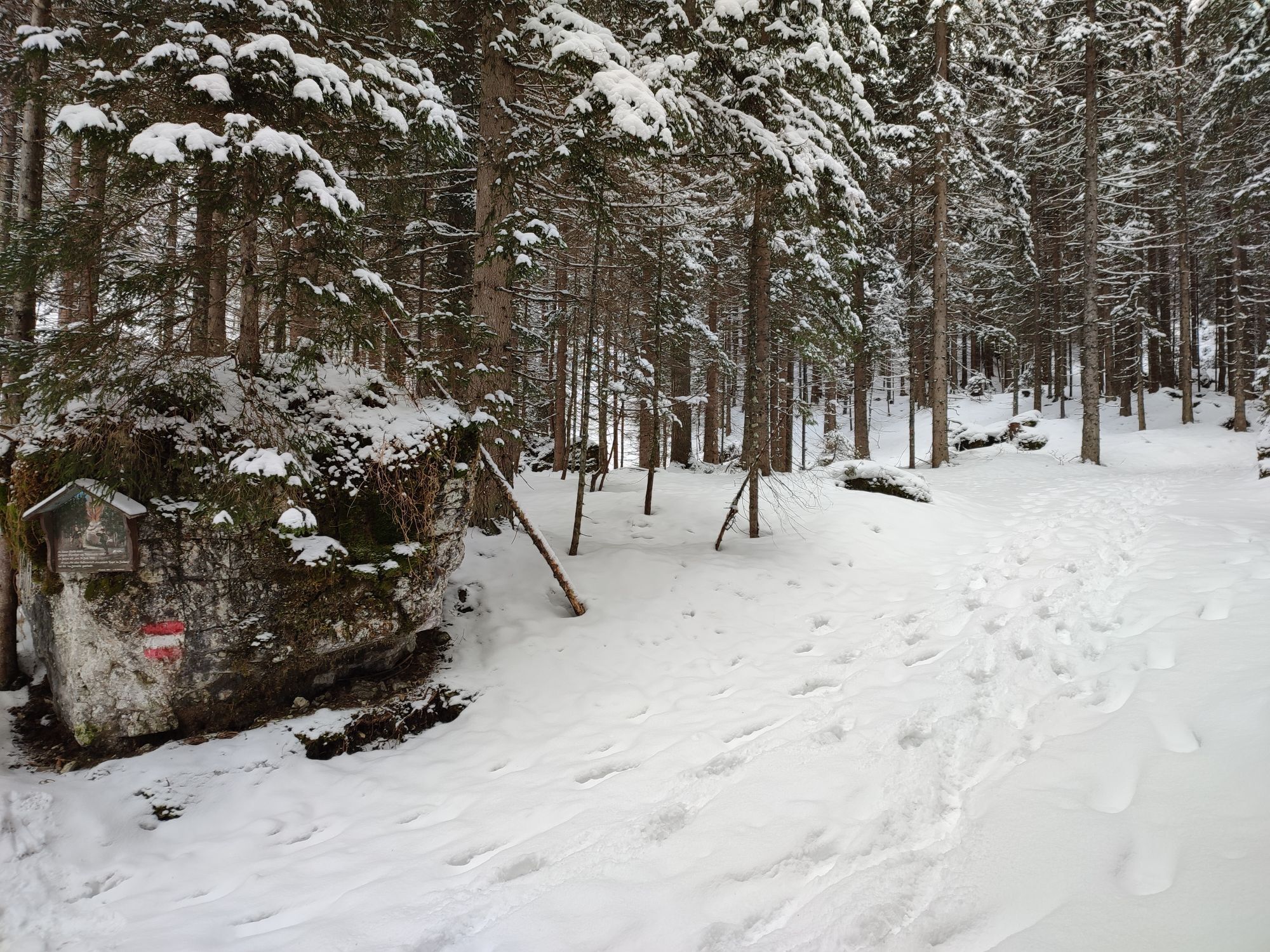
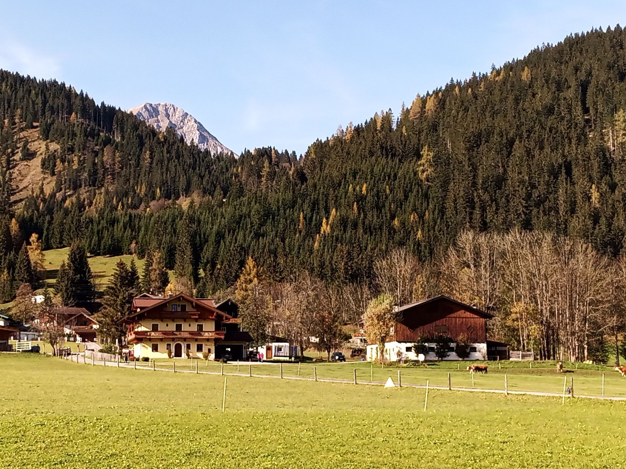
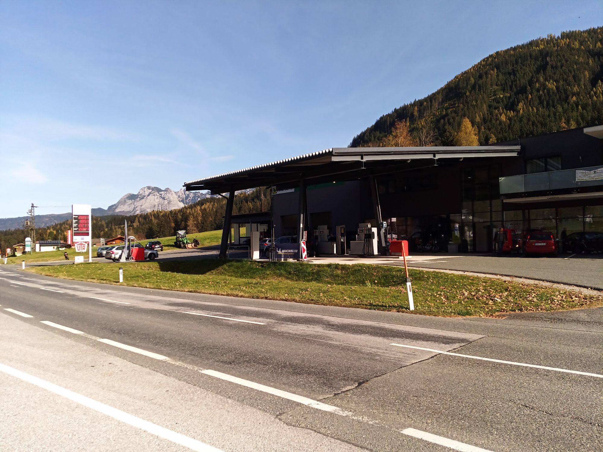
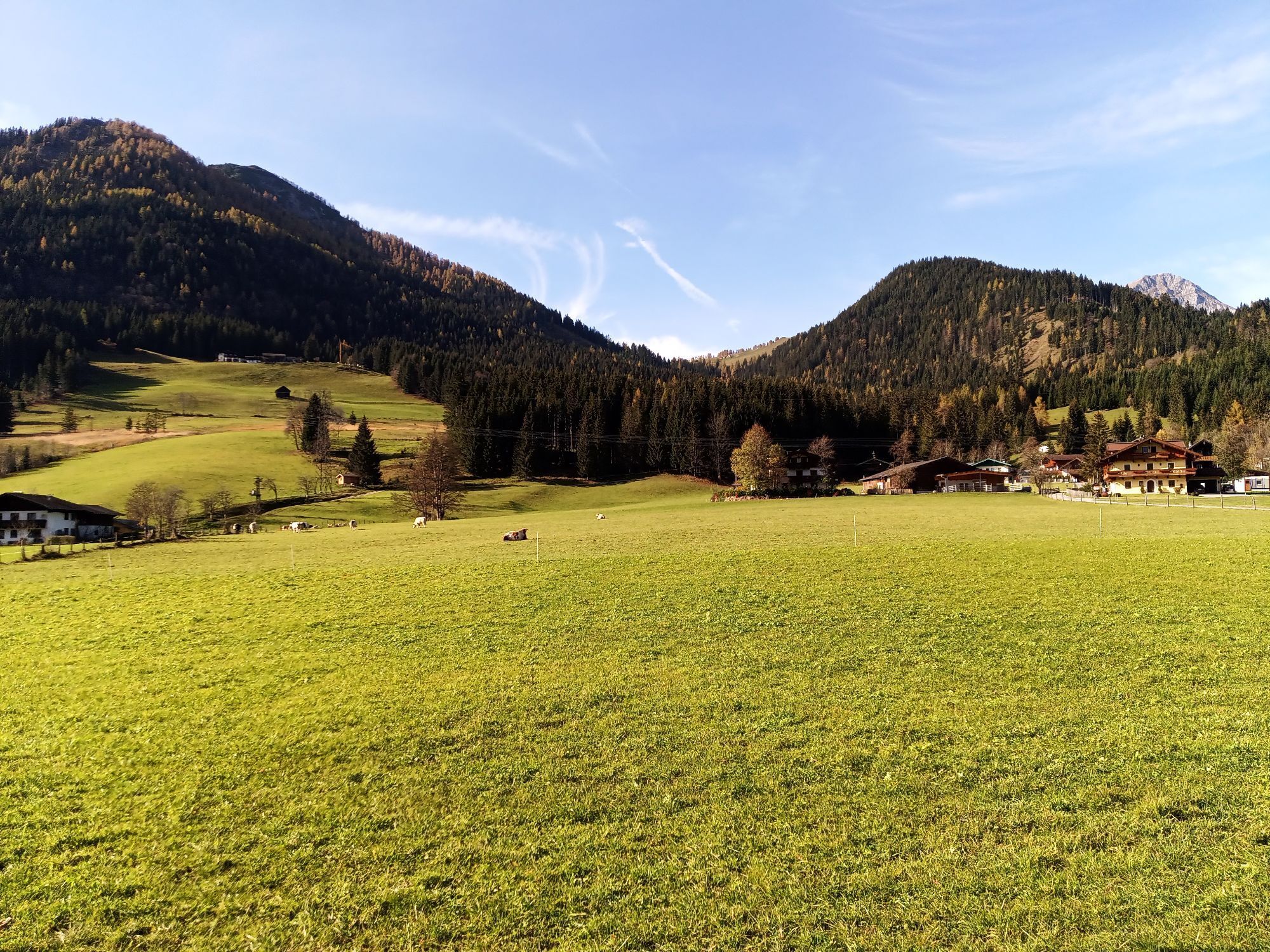
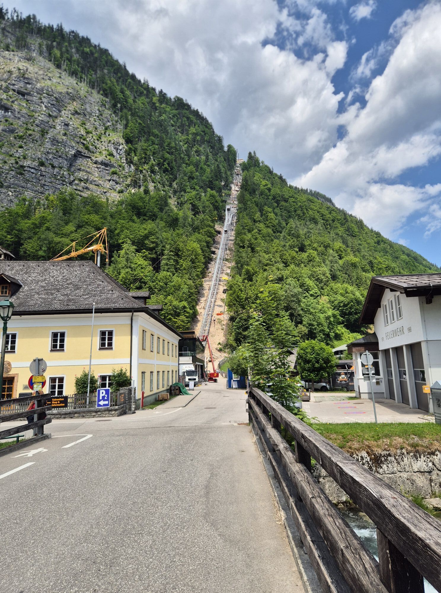
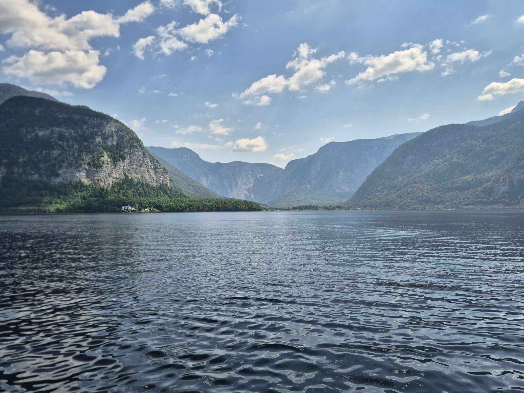
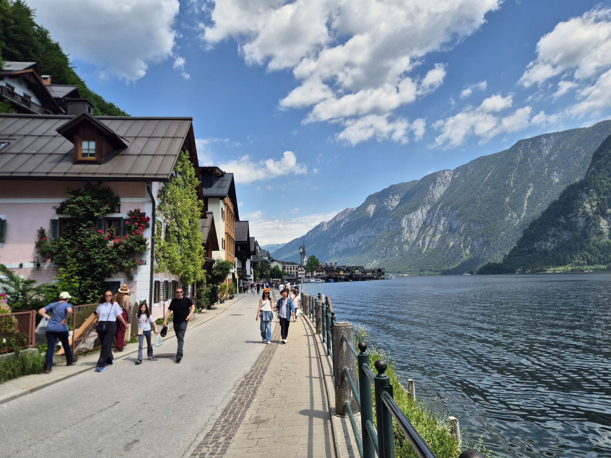
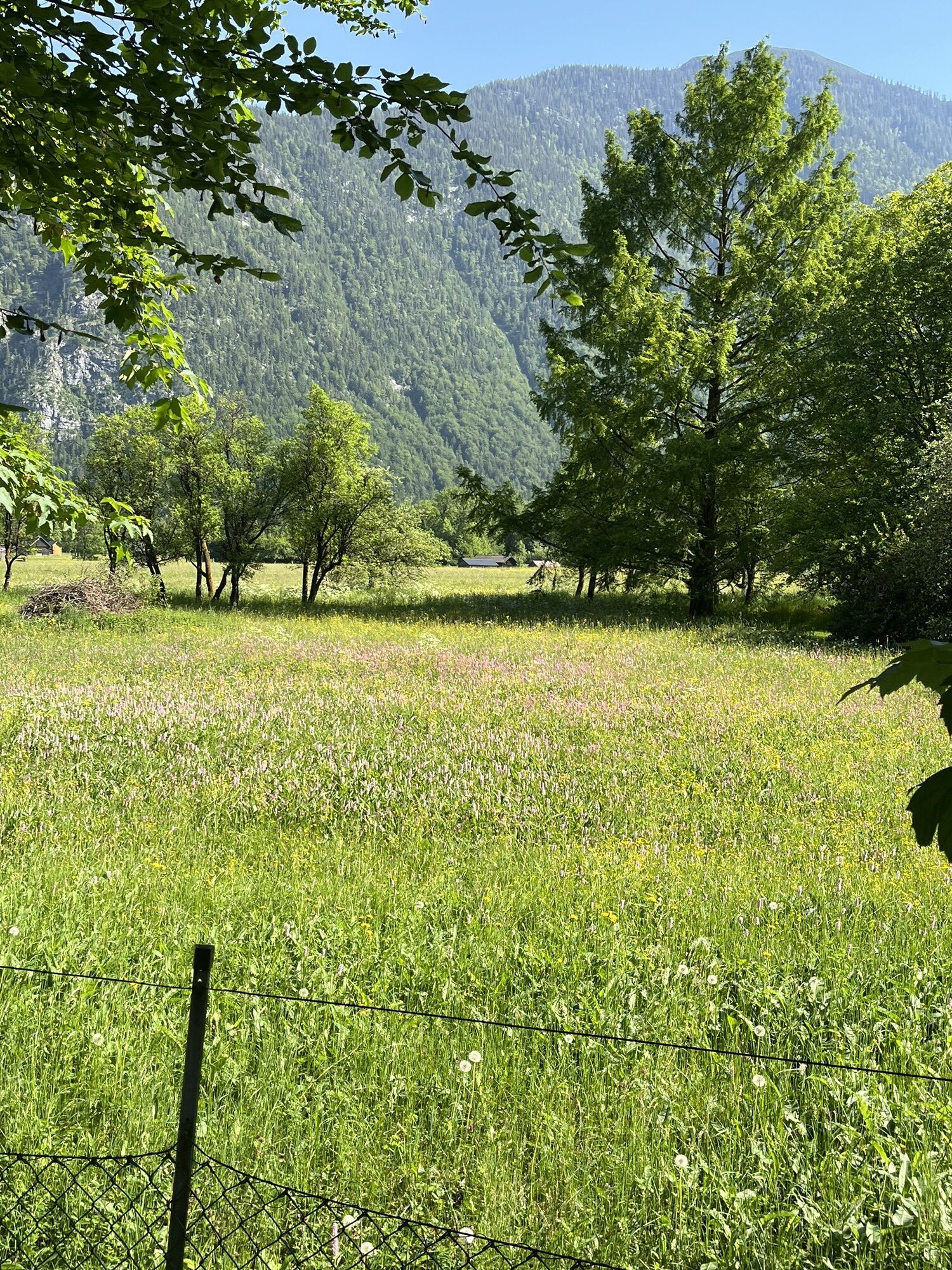
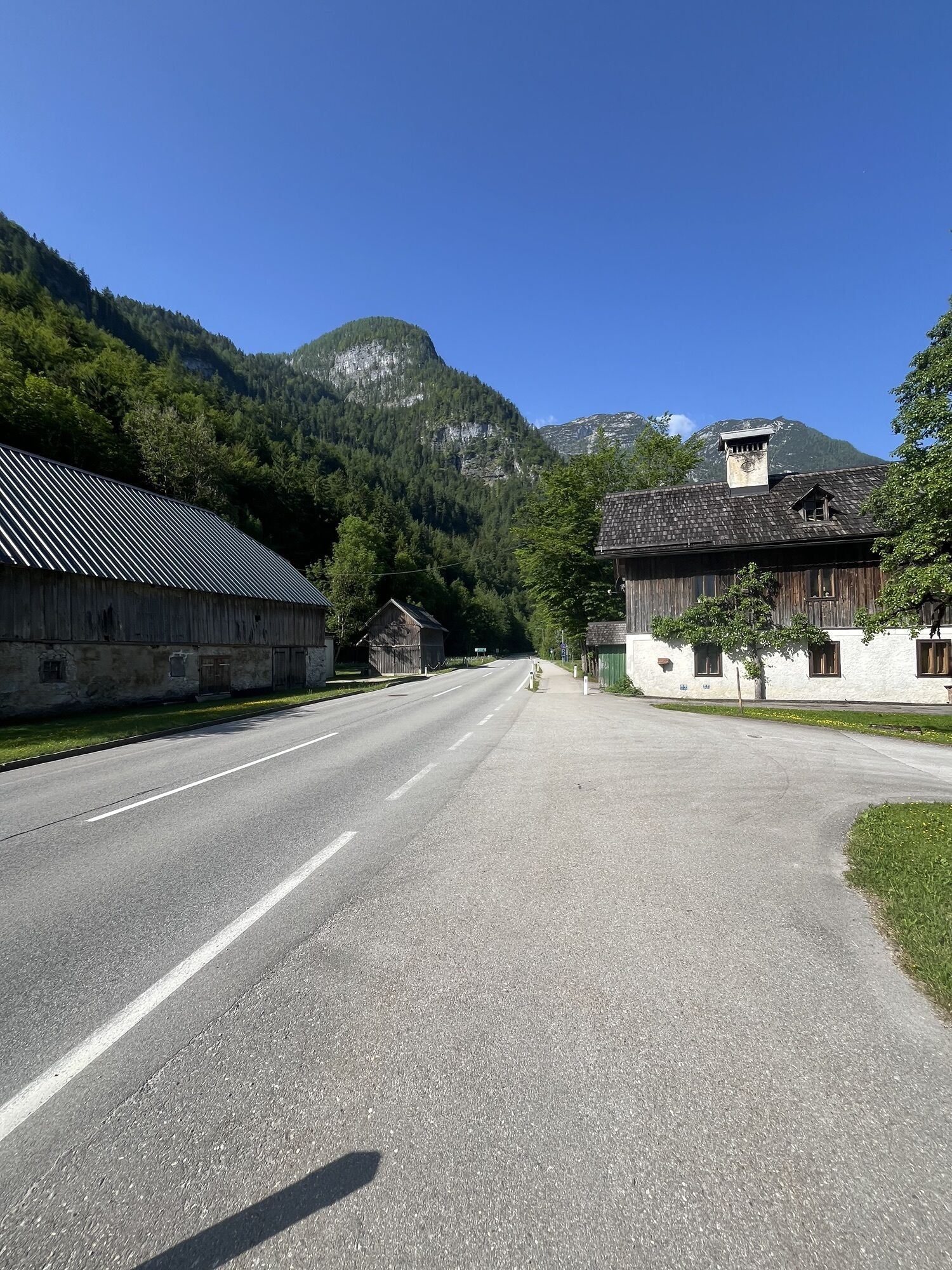
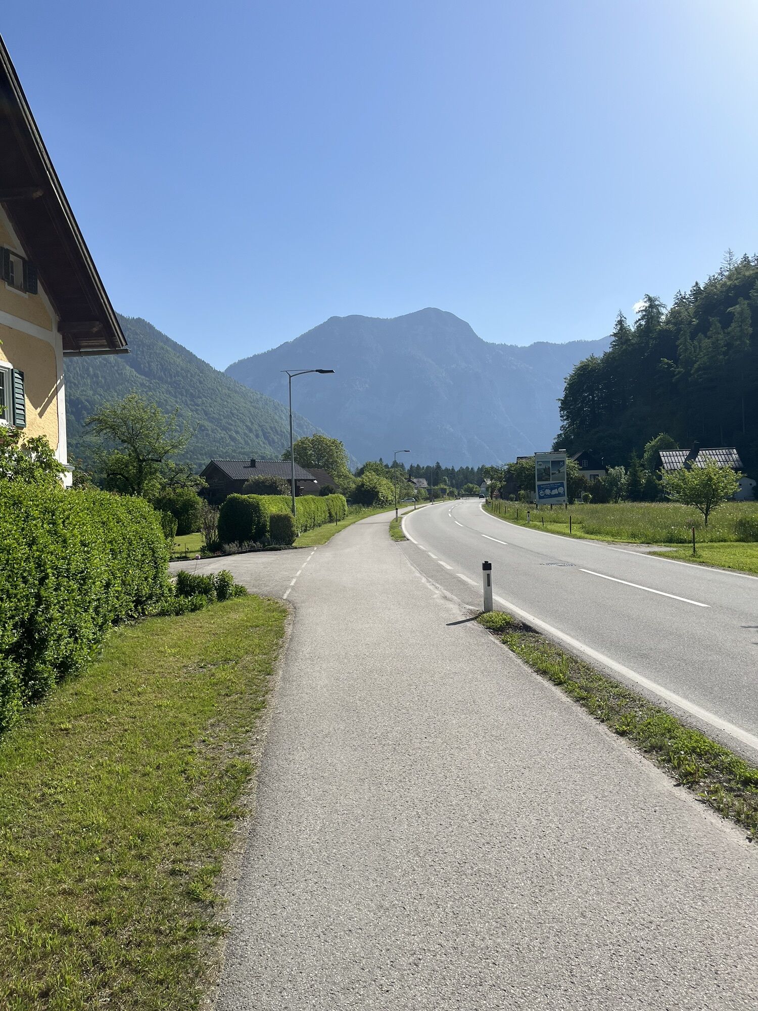
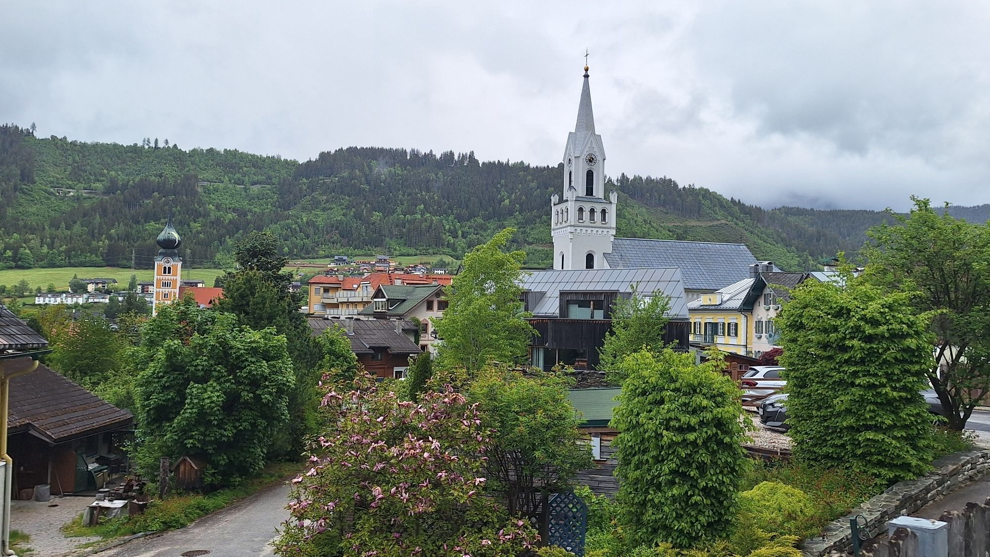
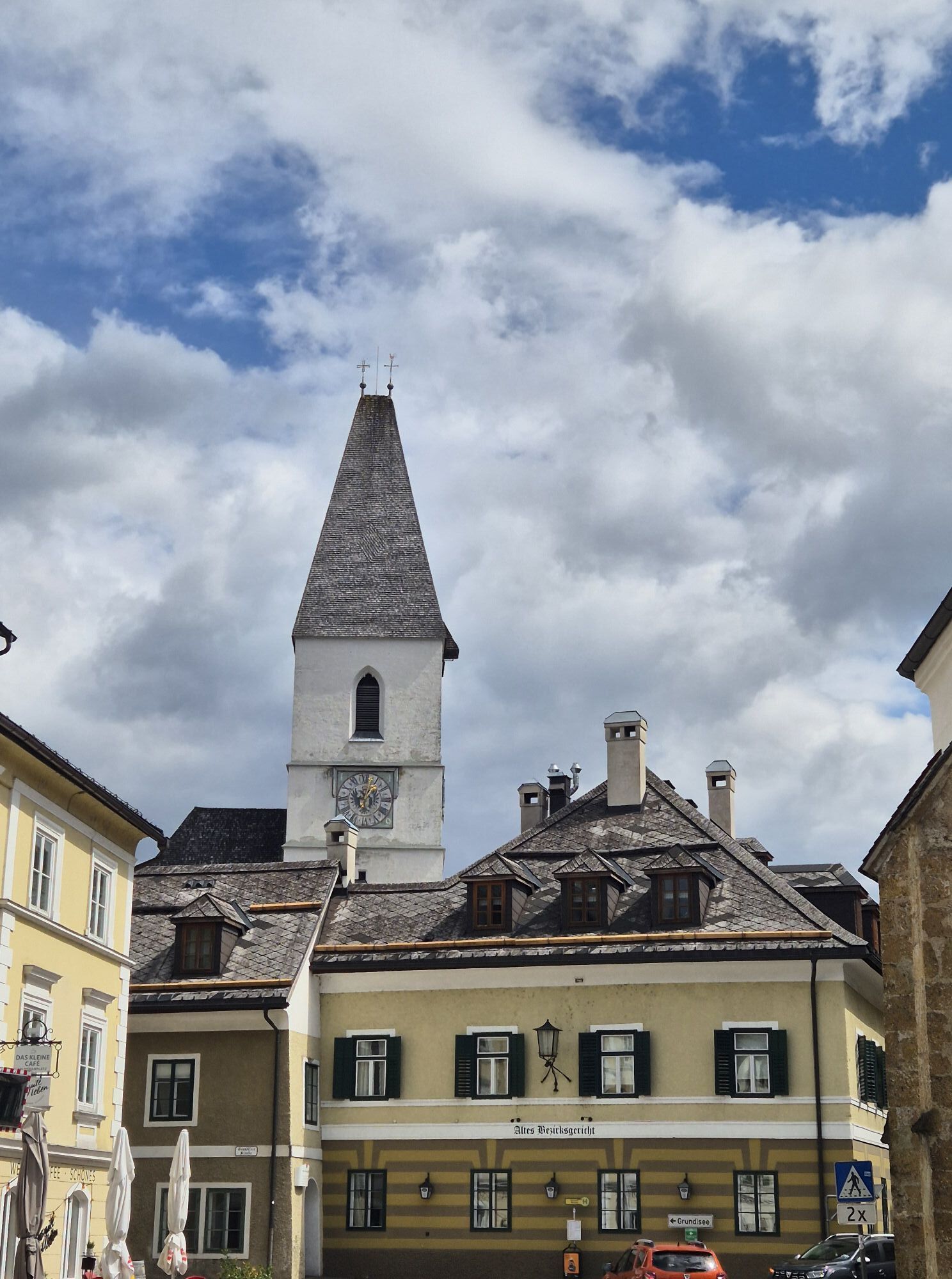
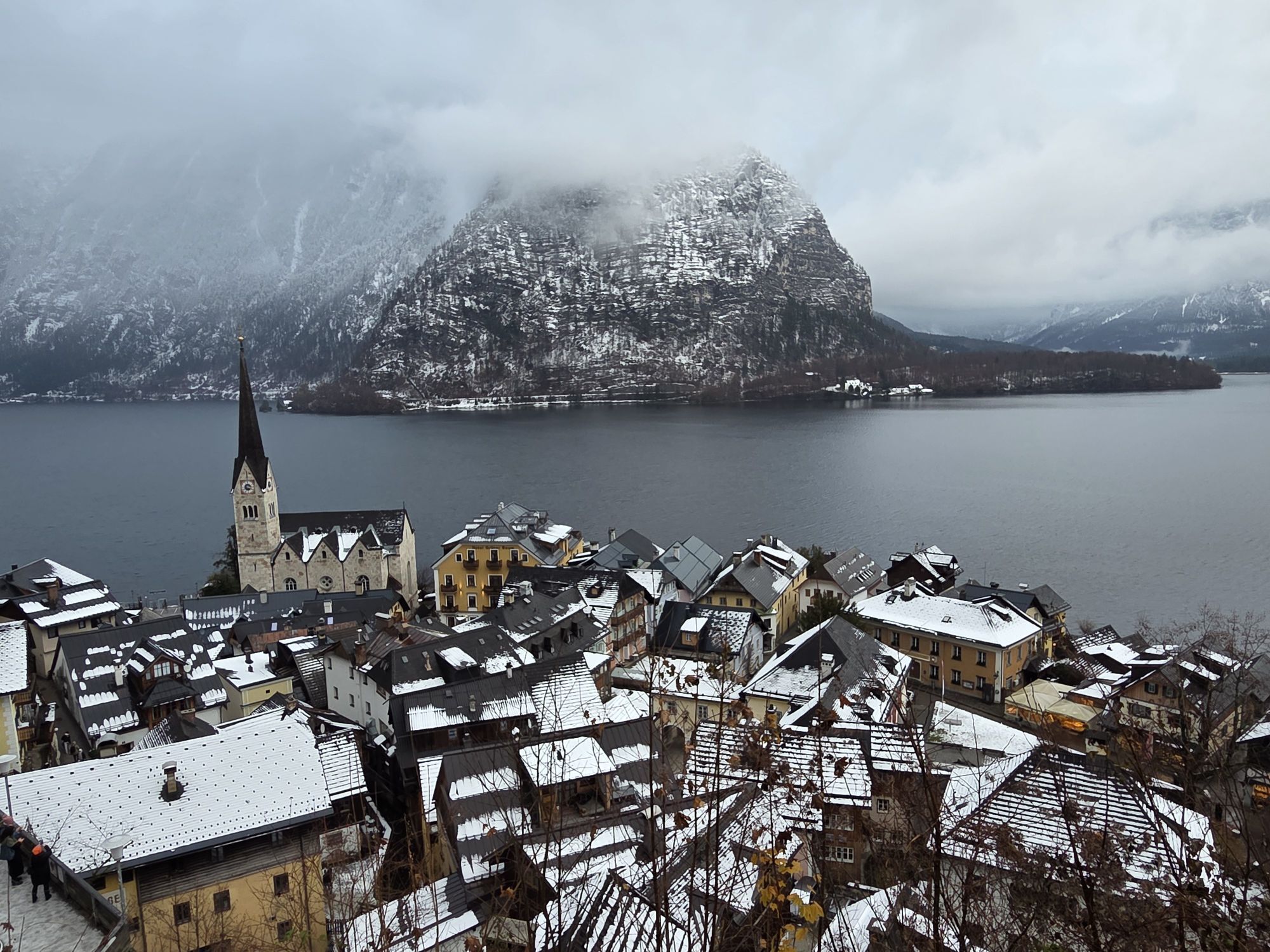
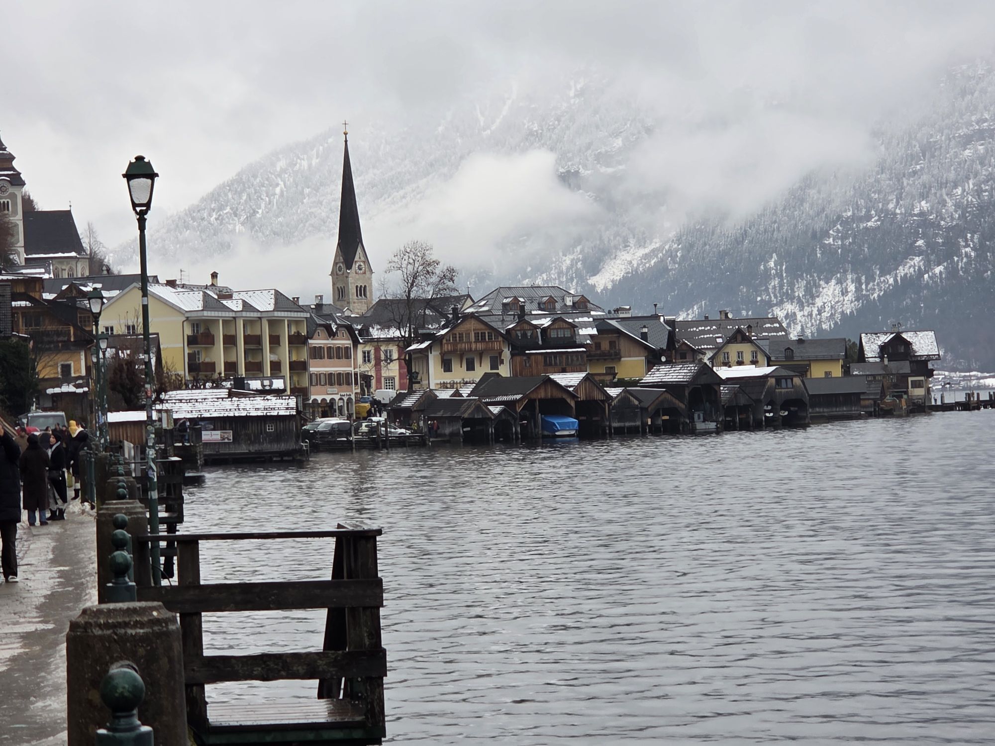
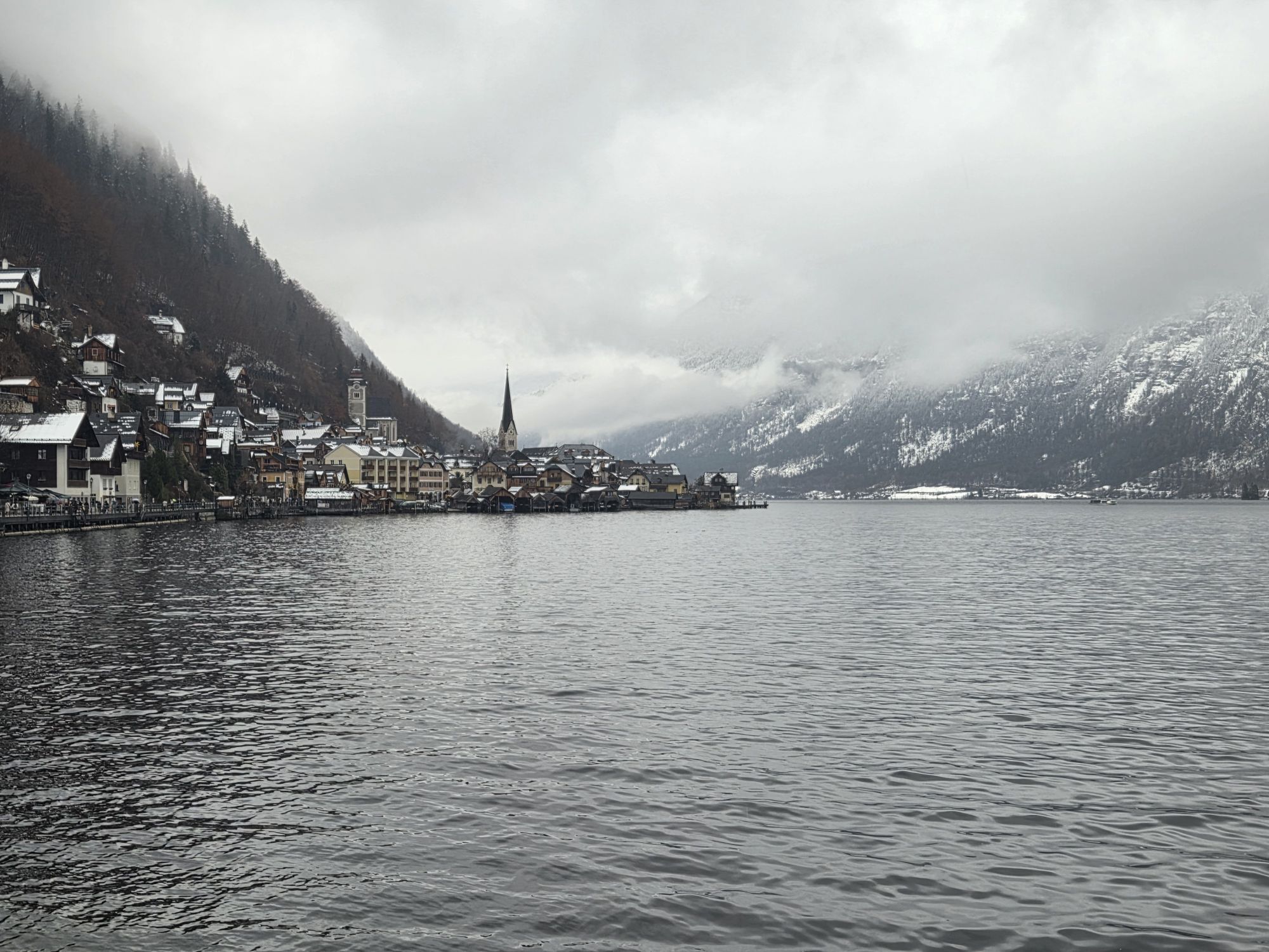
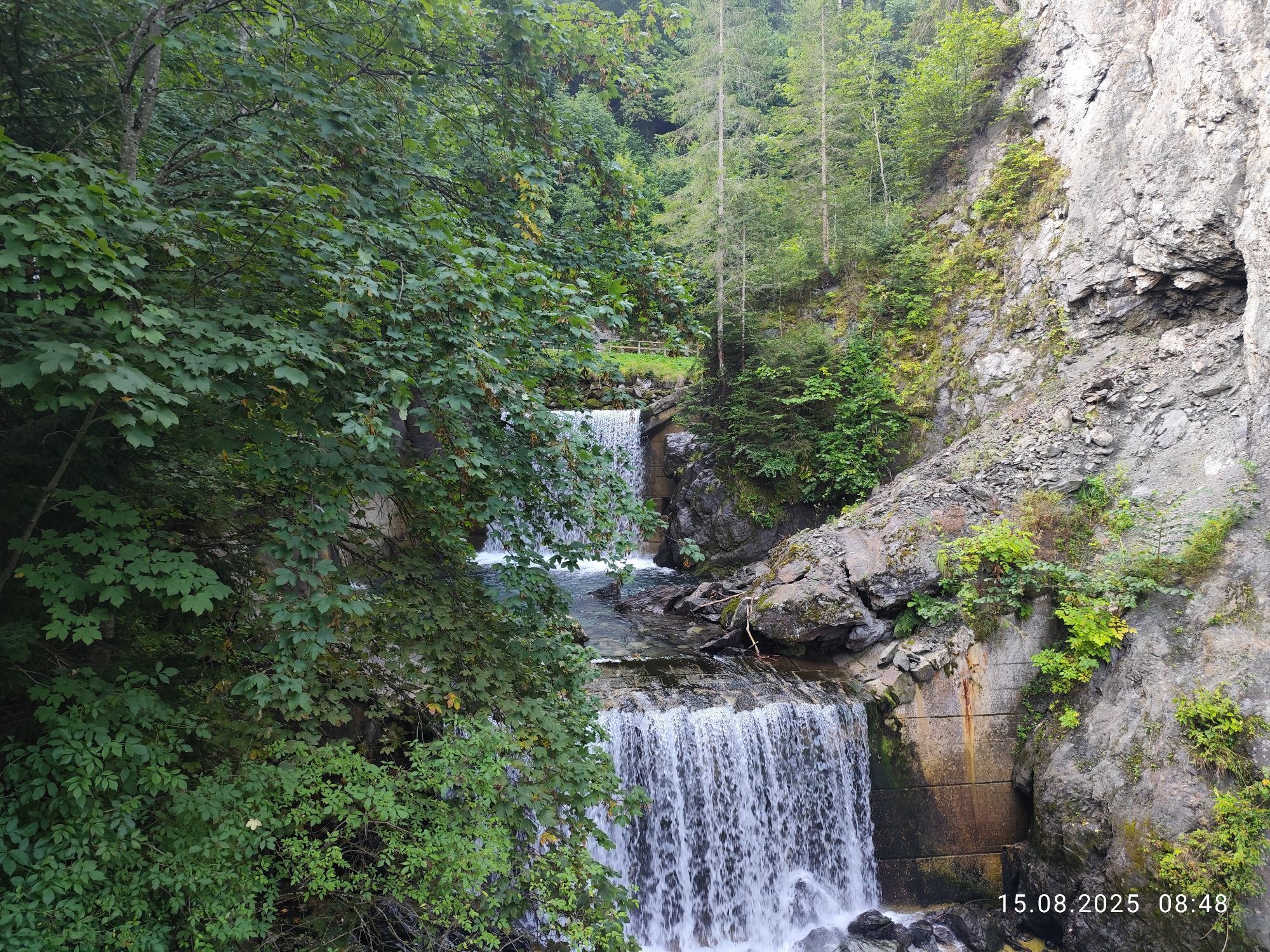
Start at the Kleinarl or Wagrain tourist office. In Wagrain take the crossing to direction Flachau and continue through Schwaighof and Moadörfl. The bike-track to Flachau starts at the village sign Wagrain. Take the exit Reitdorf at the first roundabout, follow the Ennsradweg to direction Altenmarkt and continue to Radstadt. Follow the Ennsradweg to Schladming and further to the castle Trautenfels, which is the turning point of the tour. Continue to Tauplitz and Bad Mitterndorf. After this heavy uphill section the track continues to Bad Aussee and Hallstatt with its beautiful lake Hallstättersee. Upper Austria will be left through Pass Gschütt. Continuing to Russbach and the Lammertal, through the Fritztal to Eben and Reitdorf and back to the starting point.
Sufficient liquid and a snack or for example. Packing energy bars.
Webcams del recorrido
-
Bergstation achterjet
-
Annaberg-Lungötz
-
Planai Bergstation Burgstallalm
-
Hüttendorf Pruggern
-
Ramsau am Dachstein / Leiten
-
Planai Bergstation
-
Talstation Reiteralm - Gondelbahn Silver Jet
-
Radstadt - Simonyhof
-
Lahn - Hallstättersee
-
Hochwurzen Talstation
-
Altenmarkt - Sinnhubbauer
-
Galsterbergalmhütte
-
Karkogel - Abtenau
-
Stoderzinken Gipfelplateau Windmessstation
-
Sankt Martin - Hotel Martinerhof
-
Sonnleiten - Abtenau
-
Ramsau - Aparthotel Ramsau
-
Ramsau - Aparthotel Ramsau
-
Kemahdhöhe
-
Flugplatz Niederöblarn
-
Flugplatz Niederöblarn
-
MONDI Resort am Grundlsee
-
Preunegg Jet Talstation
-
Hornspitz Talstation
-
Zwieselalm Bergstation
-
Krippenstein Bergstation
-
Ramsau a. D. - Rittisberg
-
Bergstation Preunegg Jet
-
Haus i. E. - Hauser Kaibling
-
Snowpark Dachstein West
-
Edtalm
-
Ramsau / Lindenhof - Ramsbergerhof
-
Reitlehenalm
-
Feriendorf Annaberg
-
Bergstation Hornbahn - Hornspitz
-
Kemahdhöhe
-
Bergstation Hornbahn - Hornspitz
-
Bergstation Hornbahn - Hornspitz
-
Bergstation Hornbahn - Hornspitz
-
Bergstation Hornbahn - Hornspitz
Rutas populares en los alrededores
-
4,2
Heilbronner Rundwanderweg
luzSenderismo 9,04 km -
4,3
Filzmoos: Rötelstein (Rettenstein)
Senderismo 9,50 km -
3,8
Ostuferwanderweg
luzSenderismo 16,2 km -
4,5
Ramsau am Dachstein: Steinerne Jungfrauen
Senderismo 8,11 km -
4,8
Alrededor del Gosaukamm
medioSenderismo 20,9 km -
4,8
Planai Runde | 304
medioMountainbike 34,1 km -
4,8
4-Jahreszeiten Wanderweg
medioSenderismo de invierno 5,94 km -
4,7
Alrededor del lago Gosau
luzSenderismo 4,43 km -
4,7
Tor-Wanderung
pesadoSenderismo 14,2 km -
4,7
Stoderzinken Gipfelrundweg
medioSenderismo 4,94 km
Senderismo y rastreo


No se pierda las ofertas y la inspiración para sus próximas vacaciones
Su dirección de correo electrónico se ha añadido a la lista de correo.