



KA4 | Schneckenberg Tour

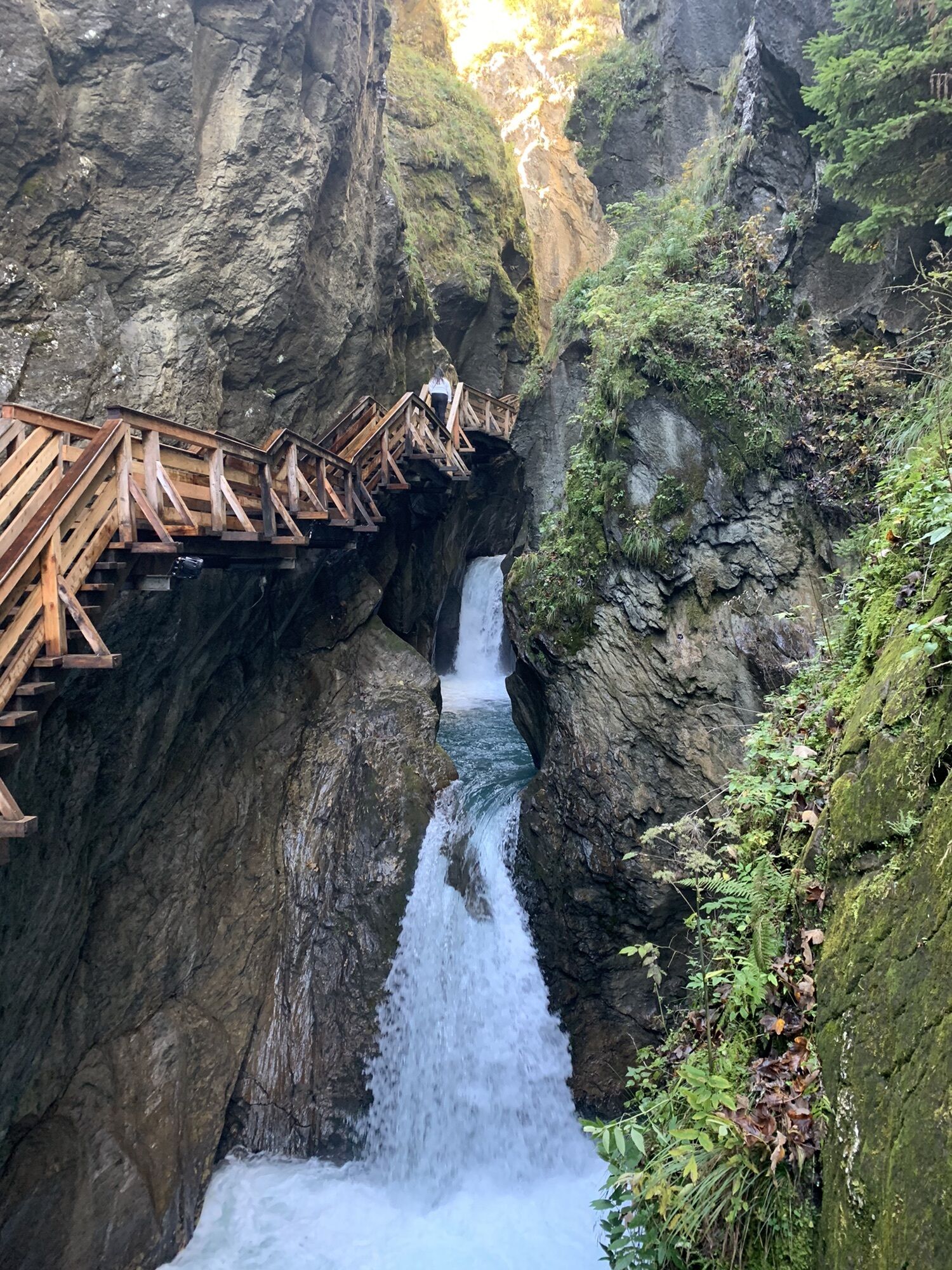
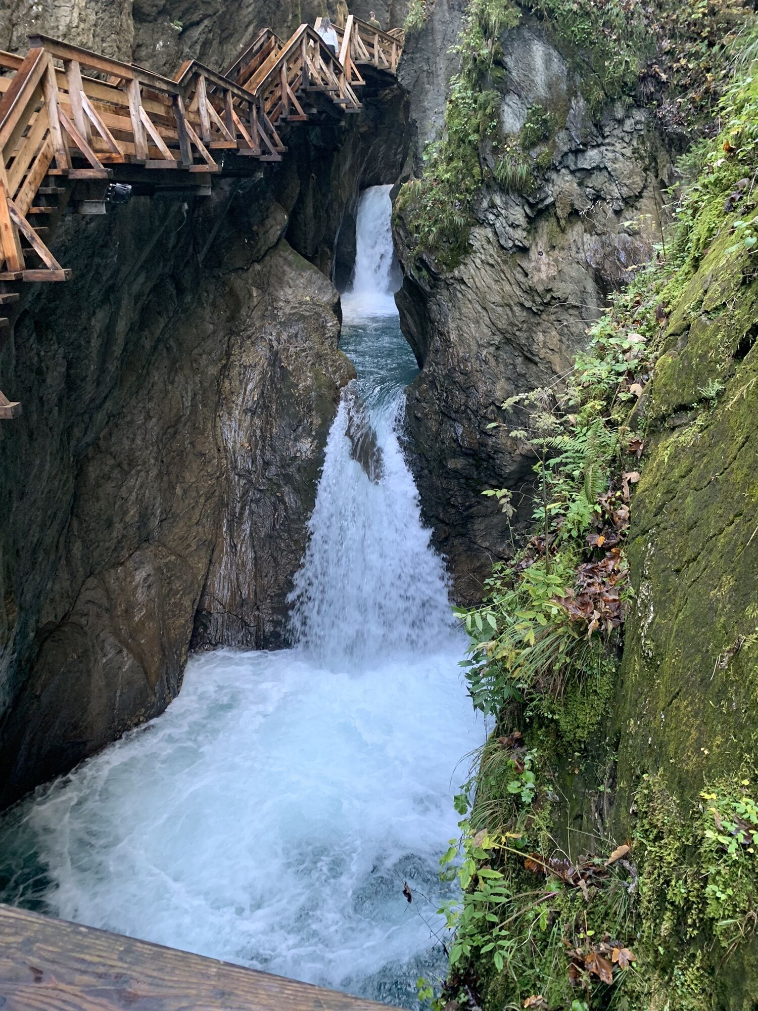
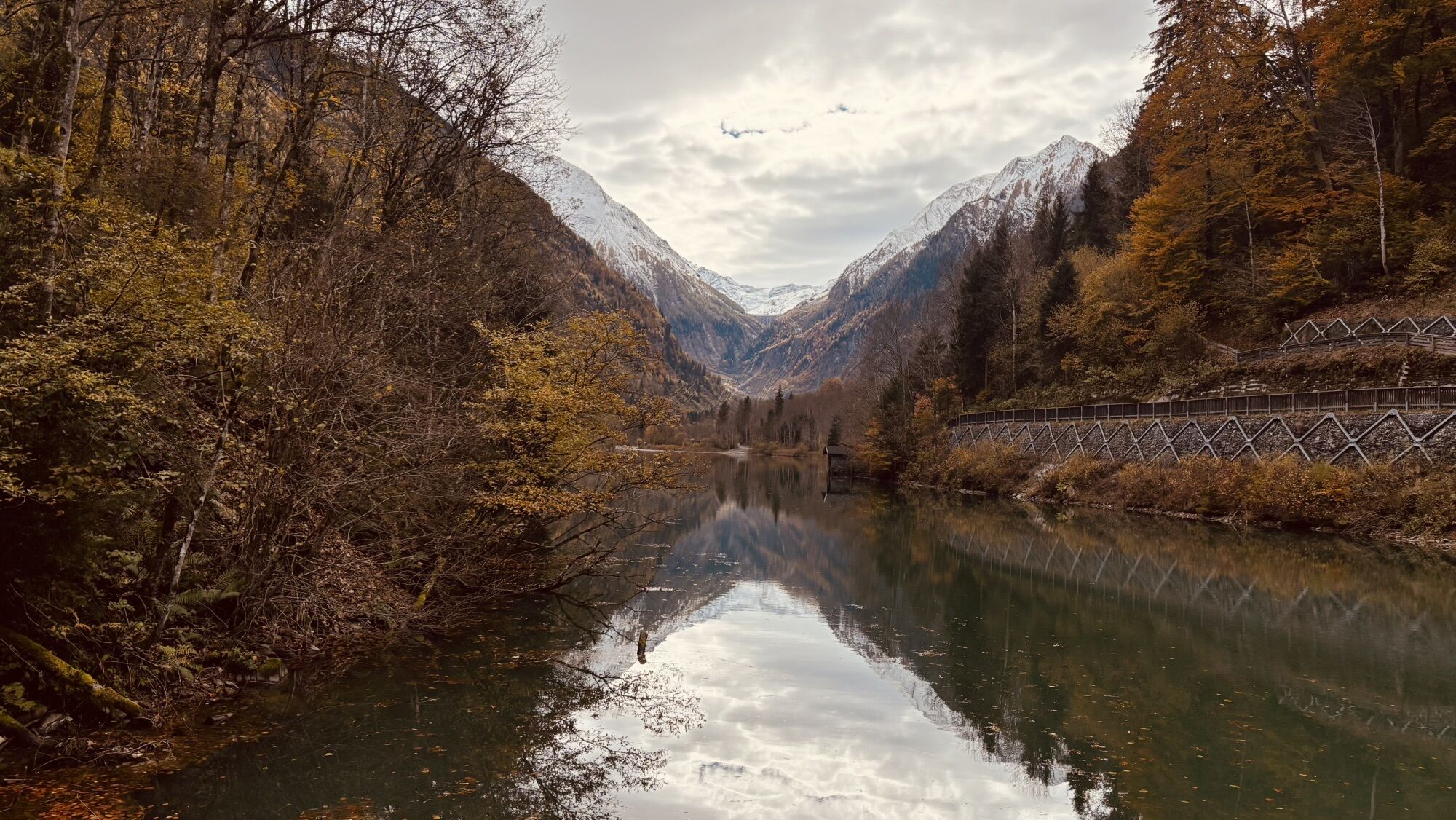
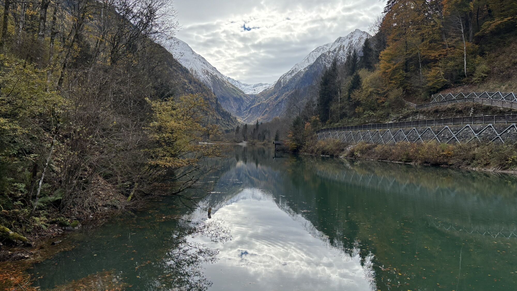


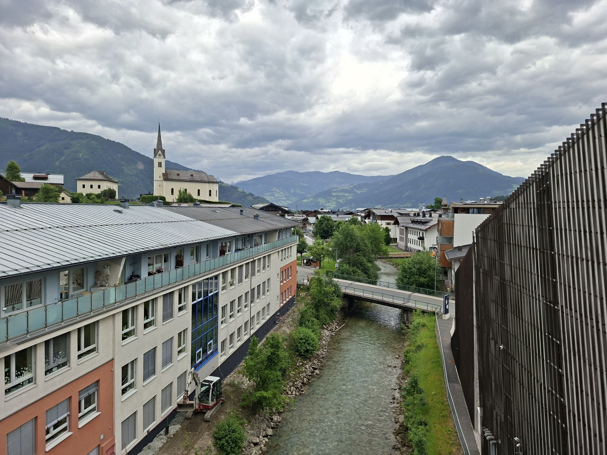
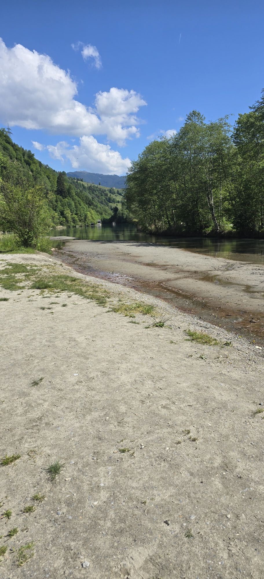
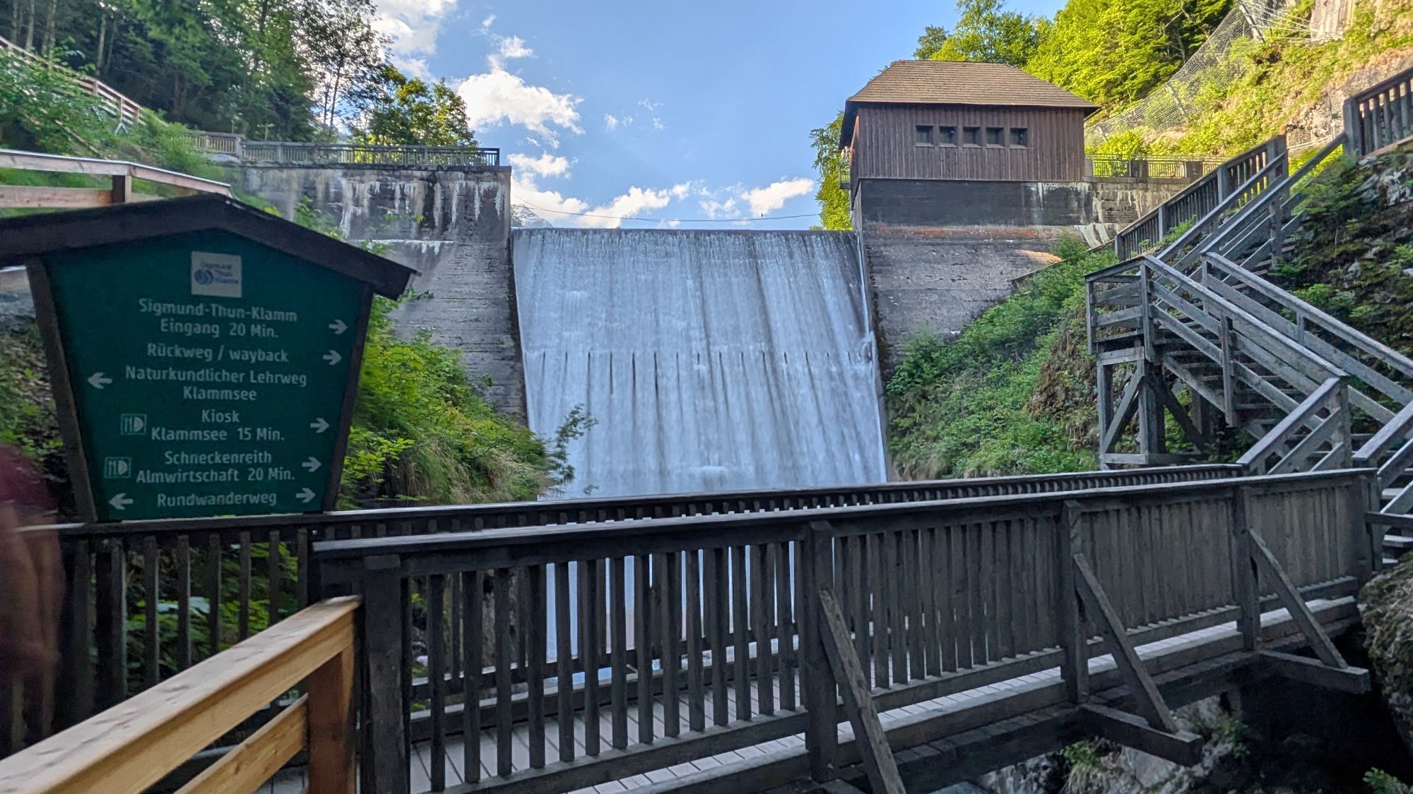
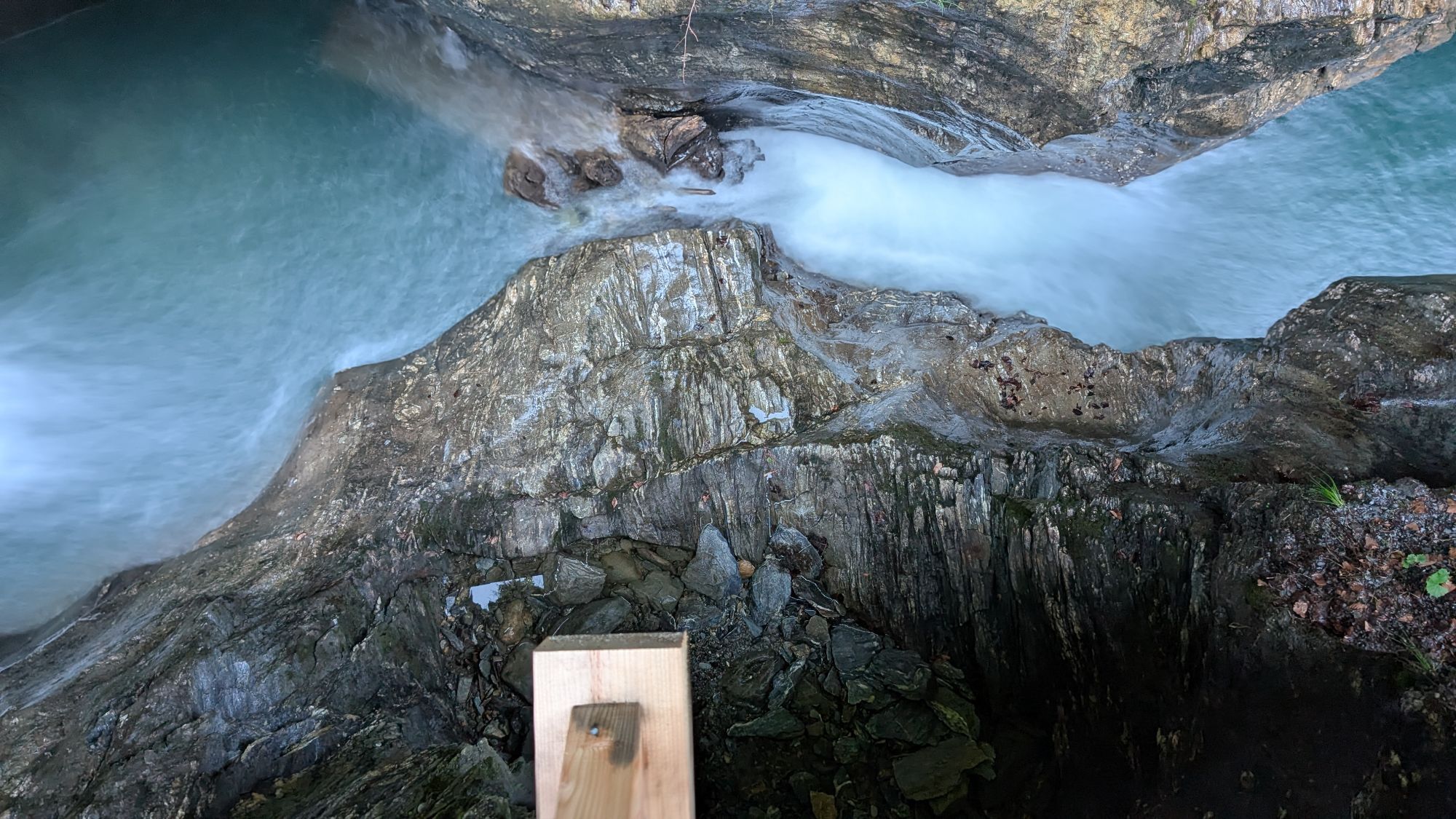

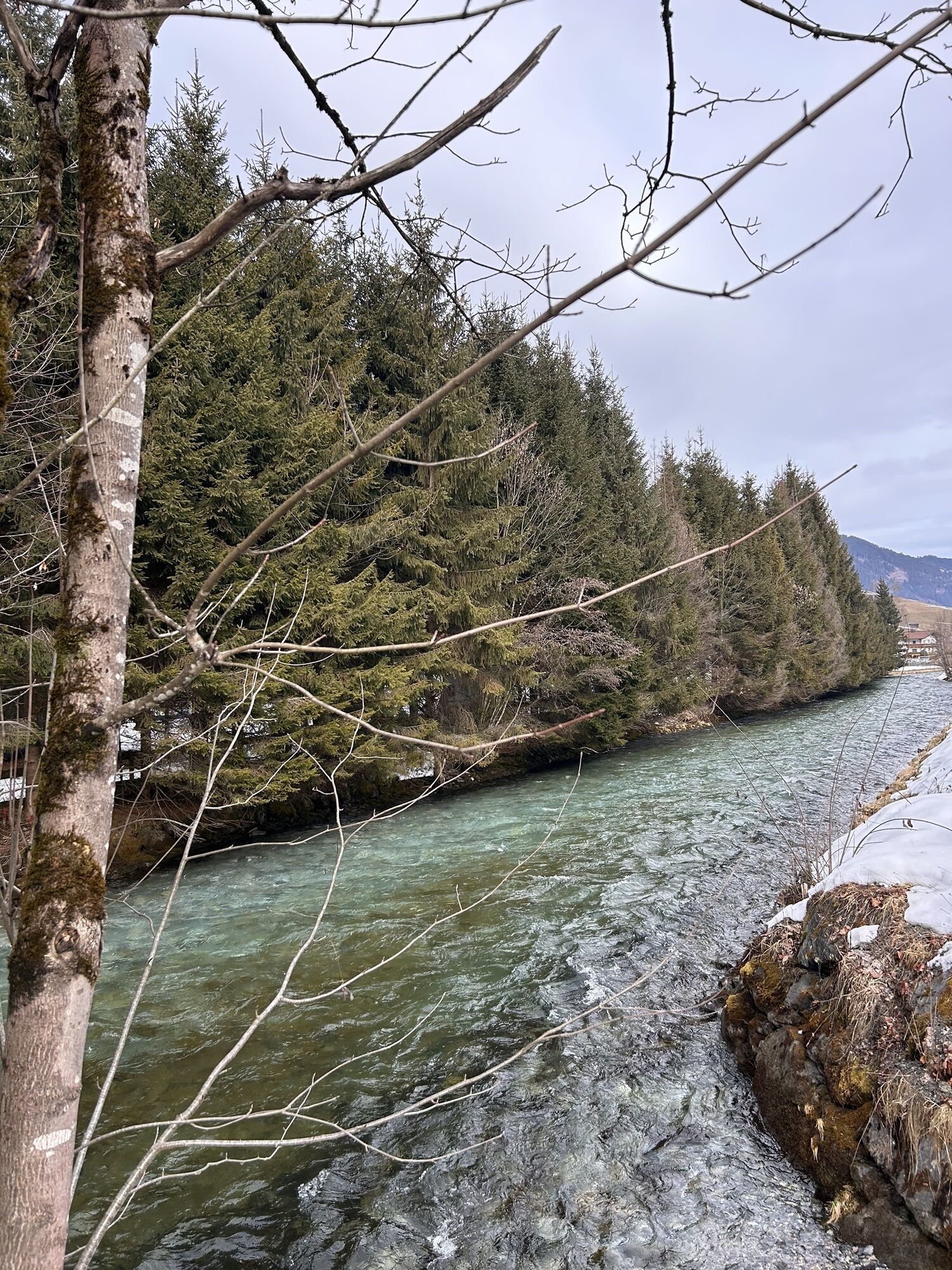
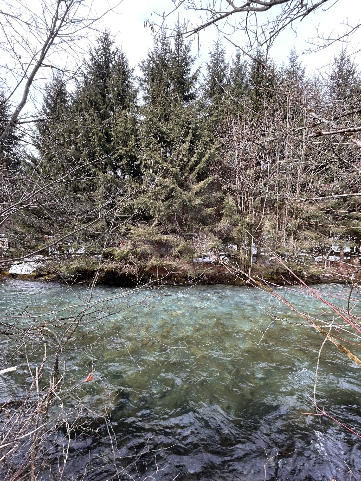


A bit less than half of this tour runs parallel to the eventful Kesselfall Tour (KA3) - the Kesselfall cycle track. Up to the access point to the Sigmund Thun Gorge, the route presents itself on the asphalted...
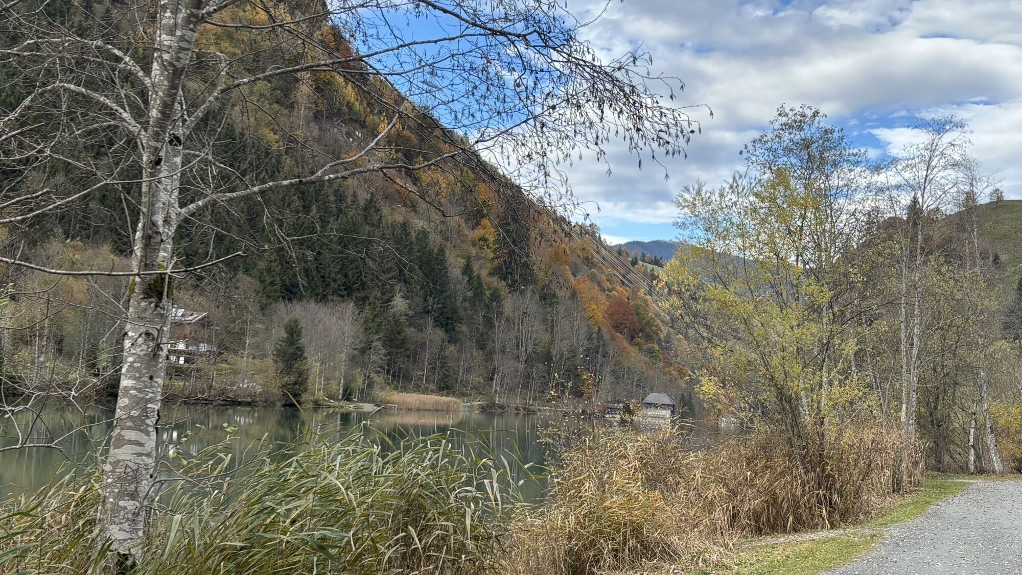
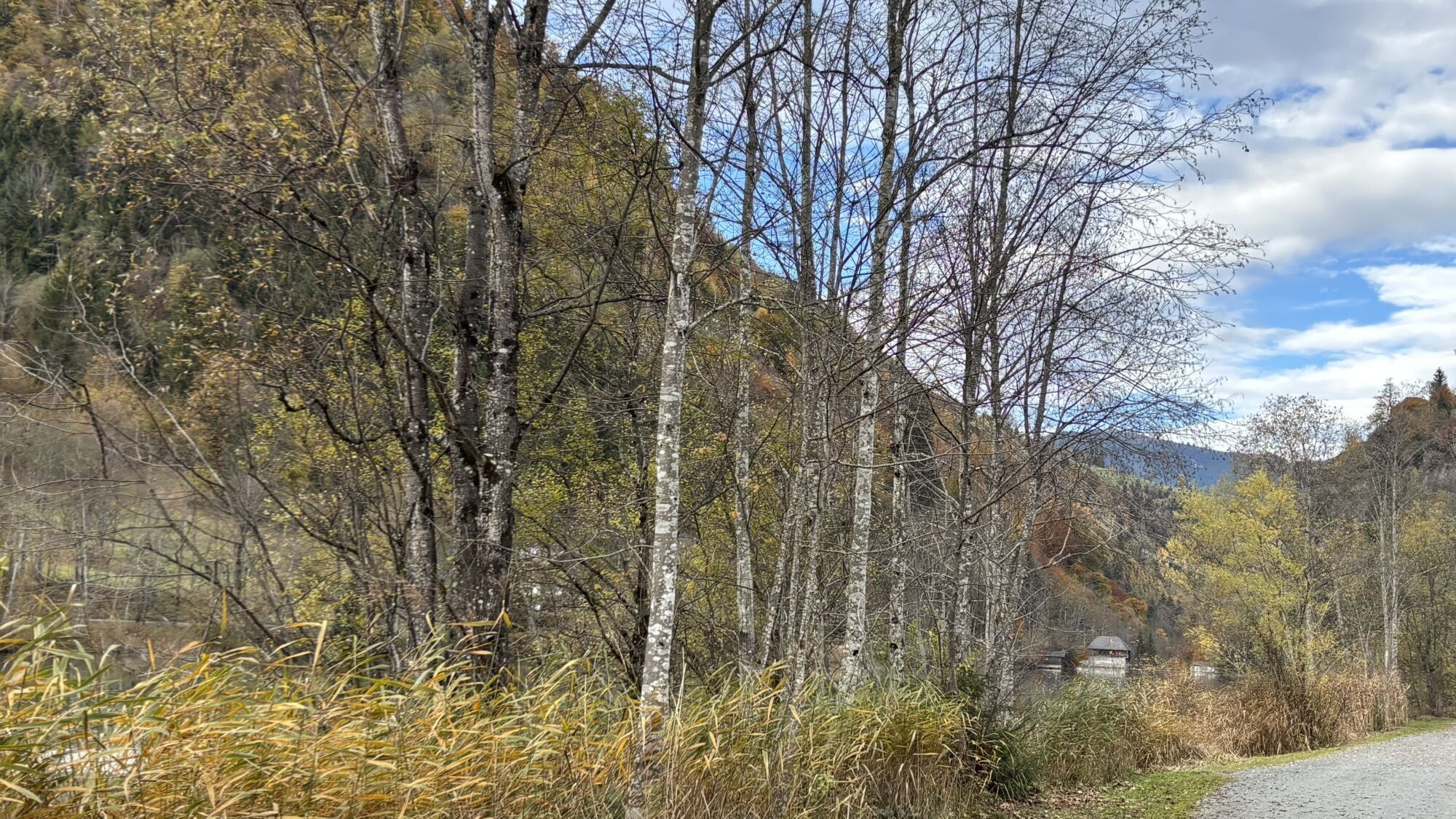
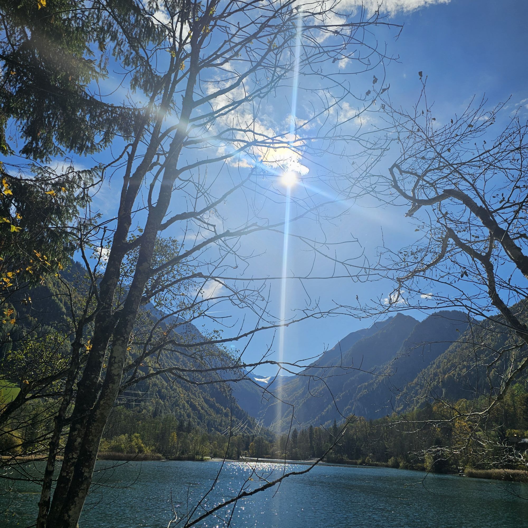
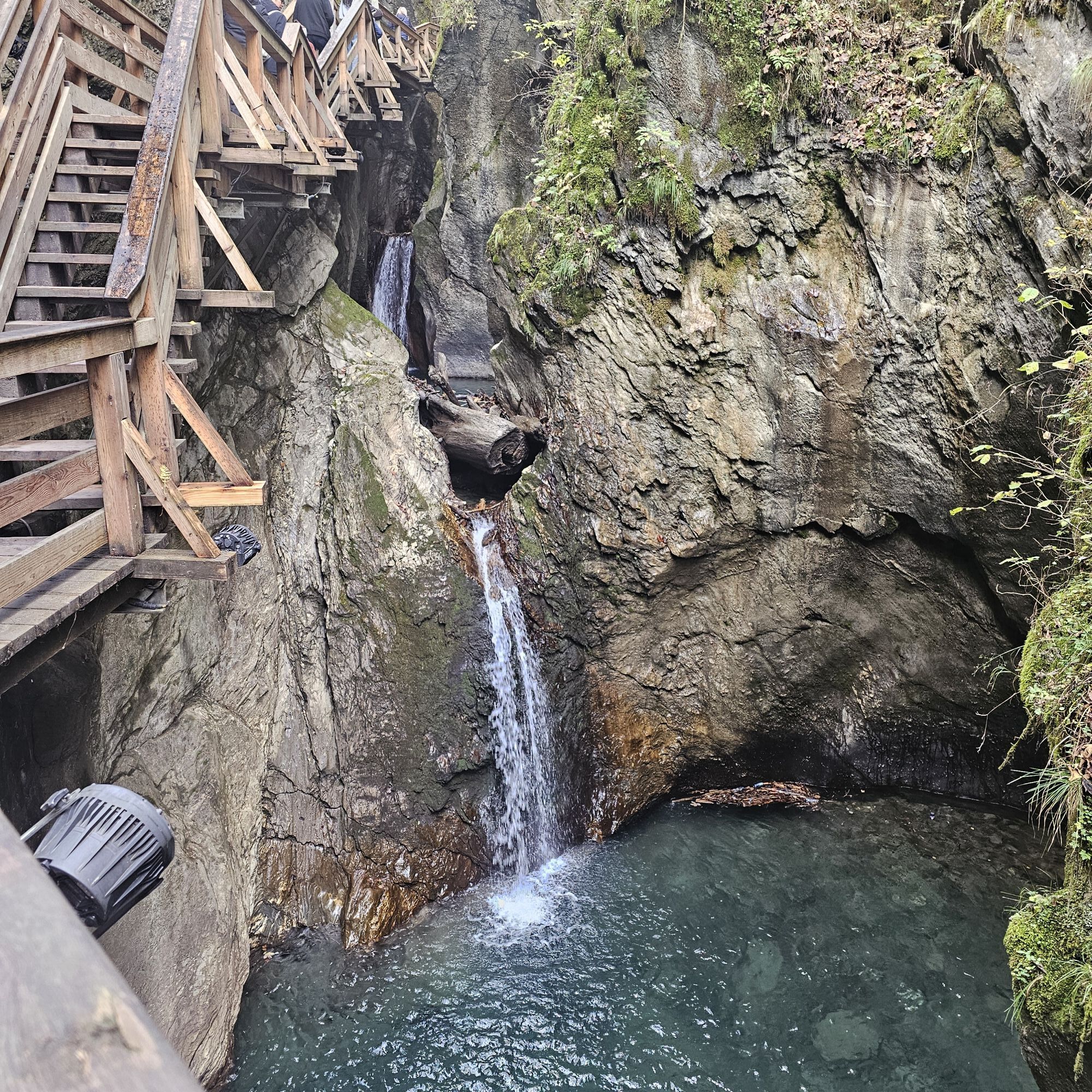
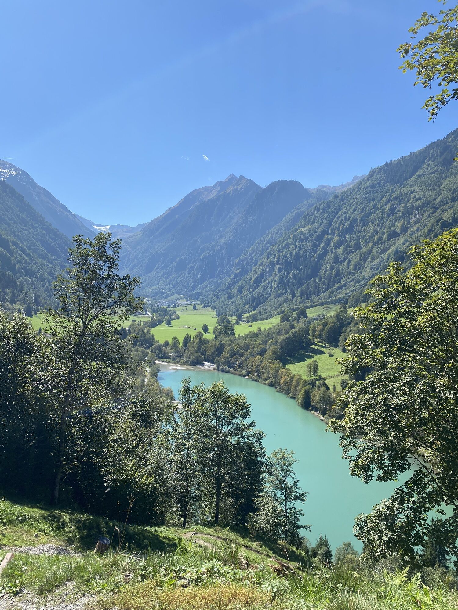
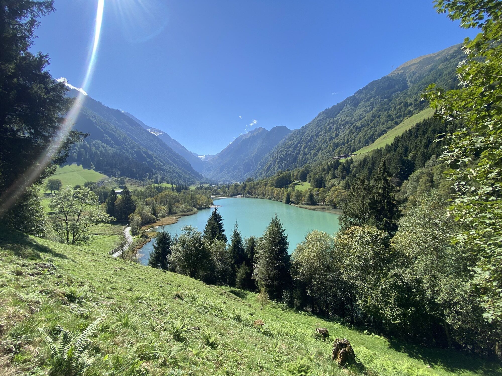
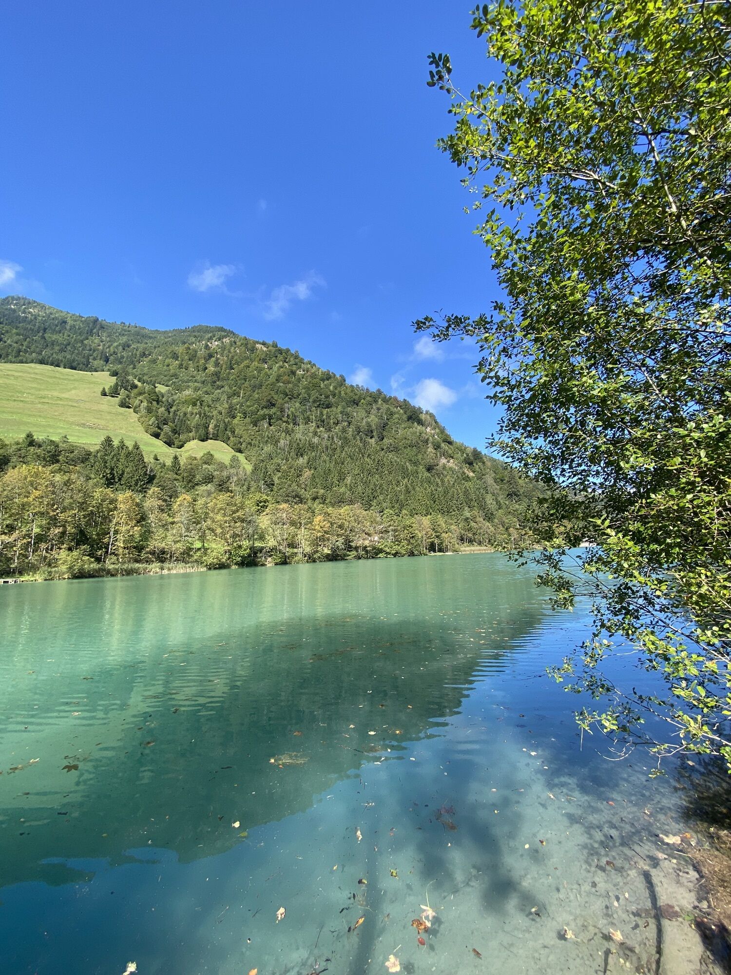
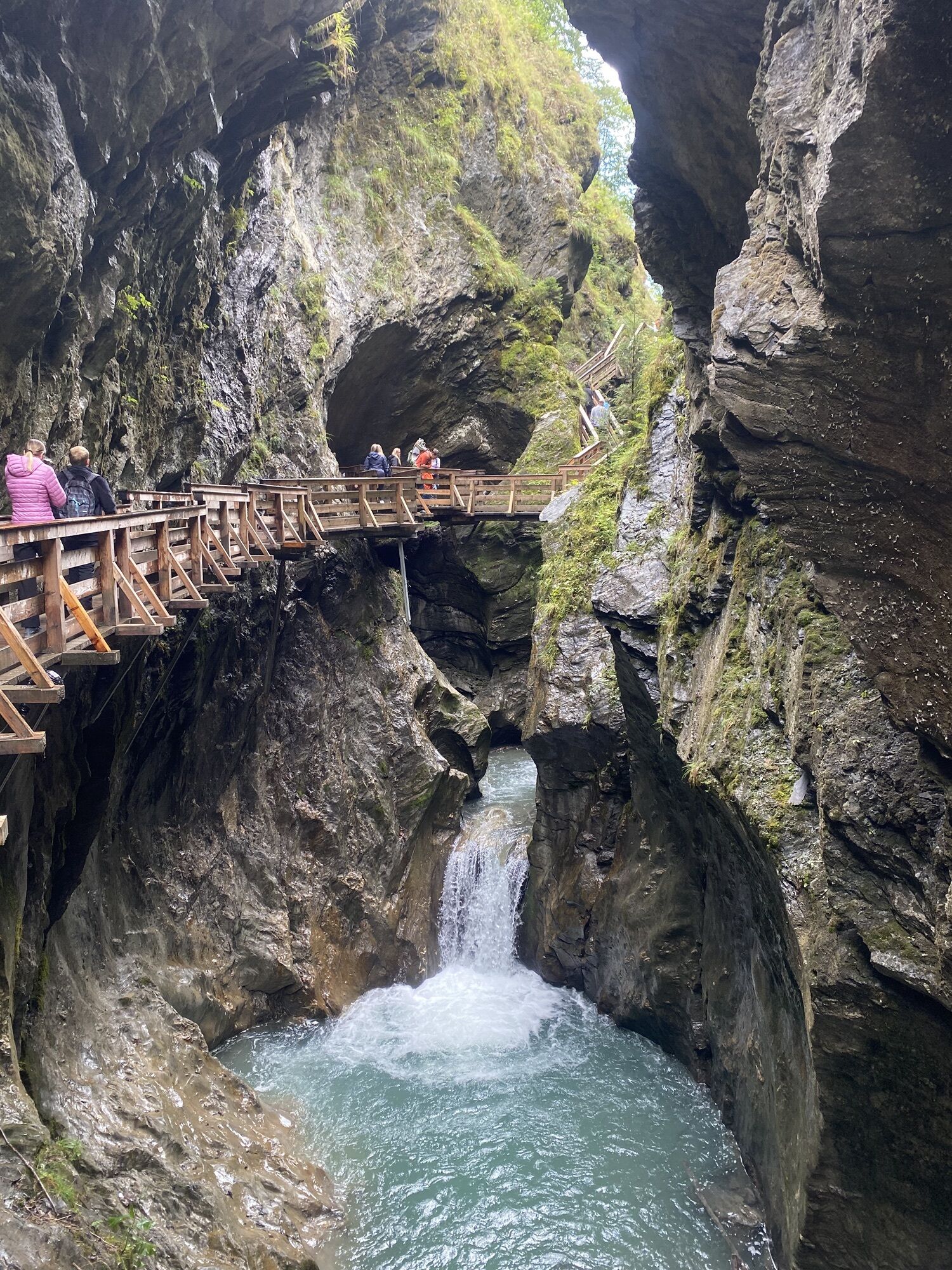
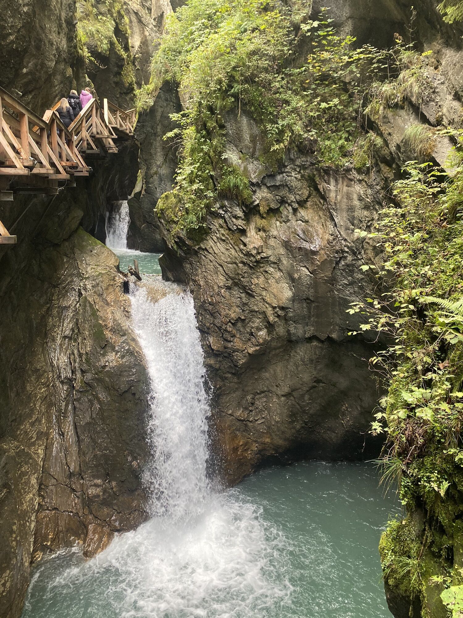
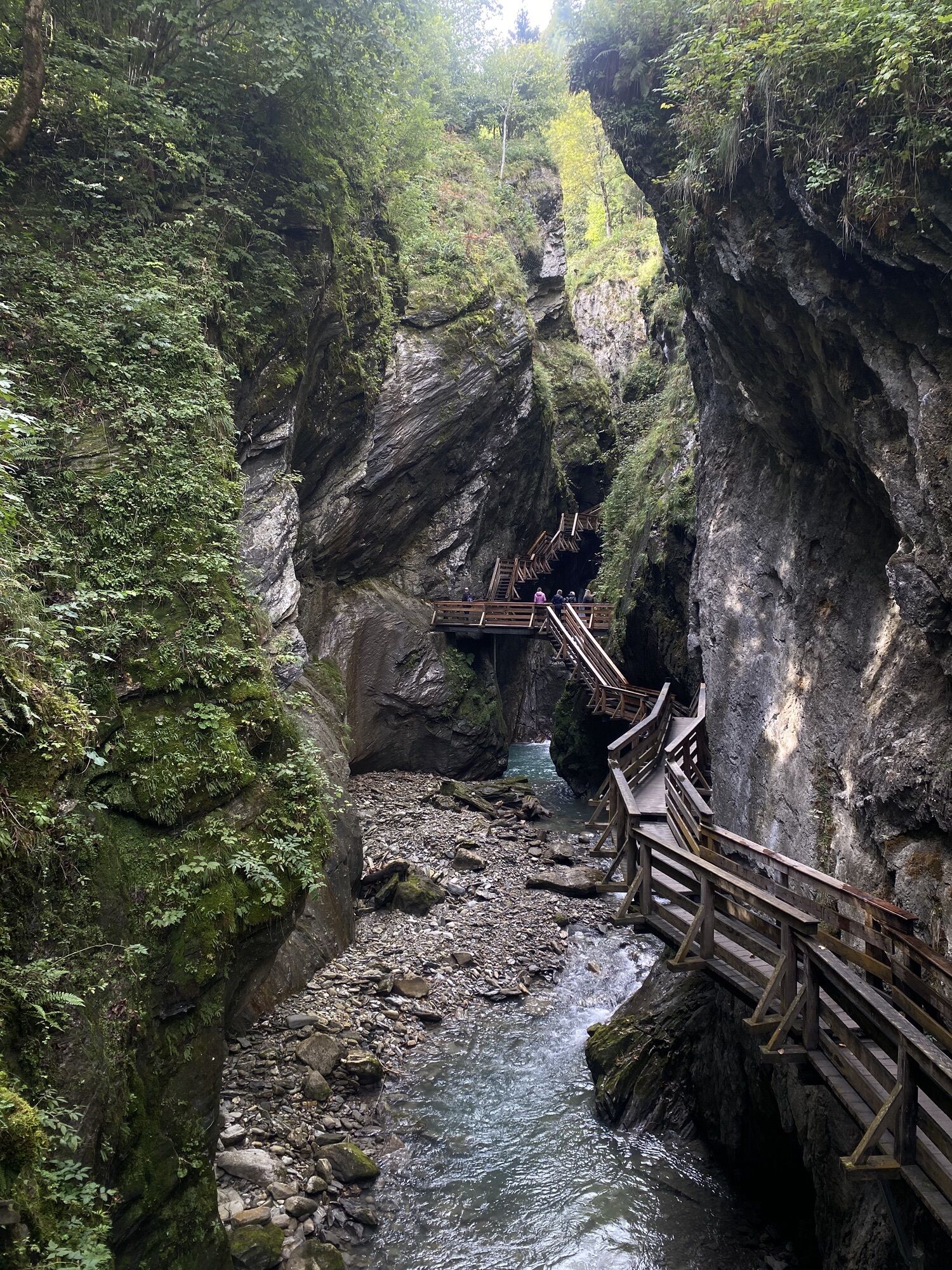
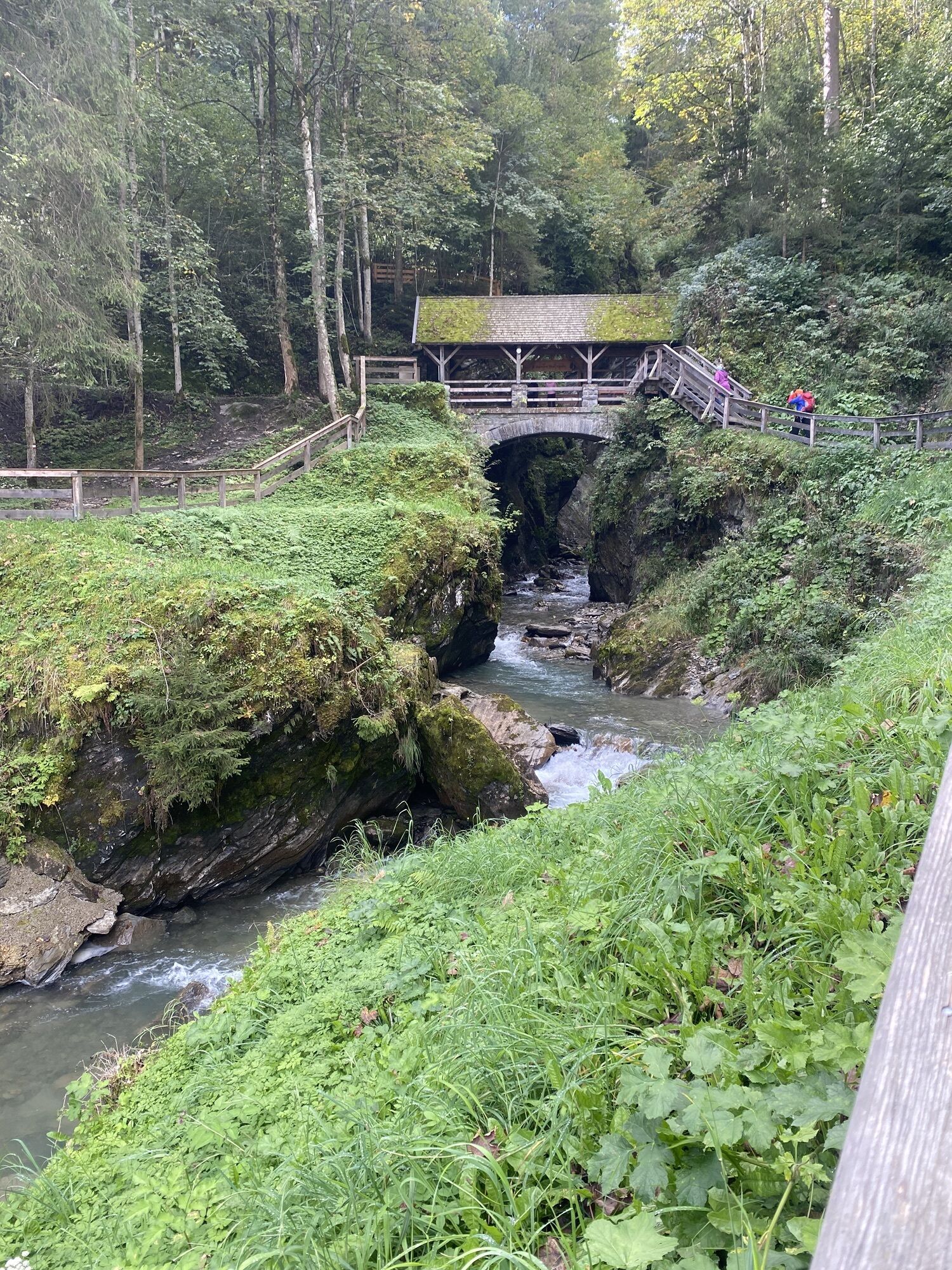
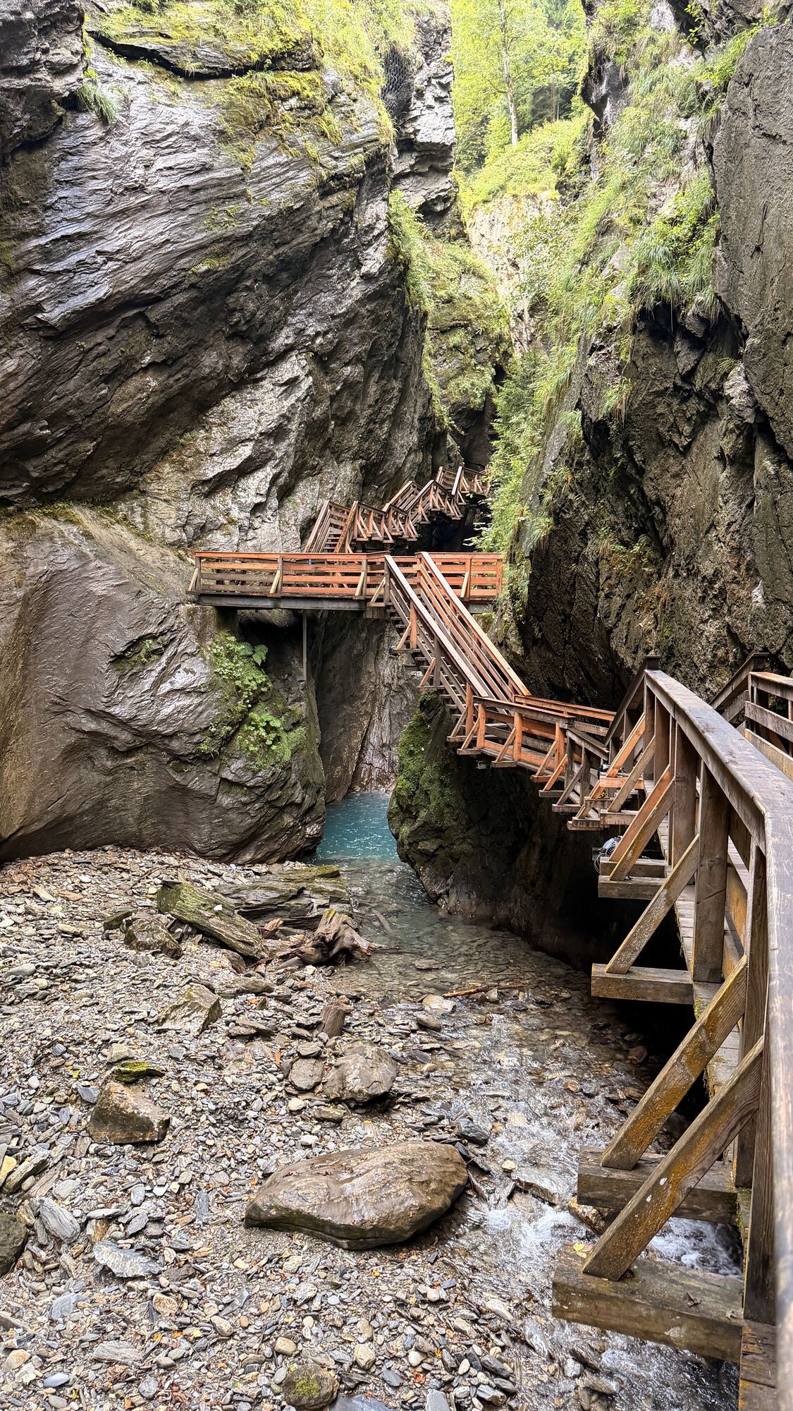
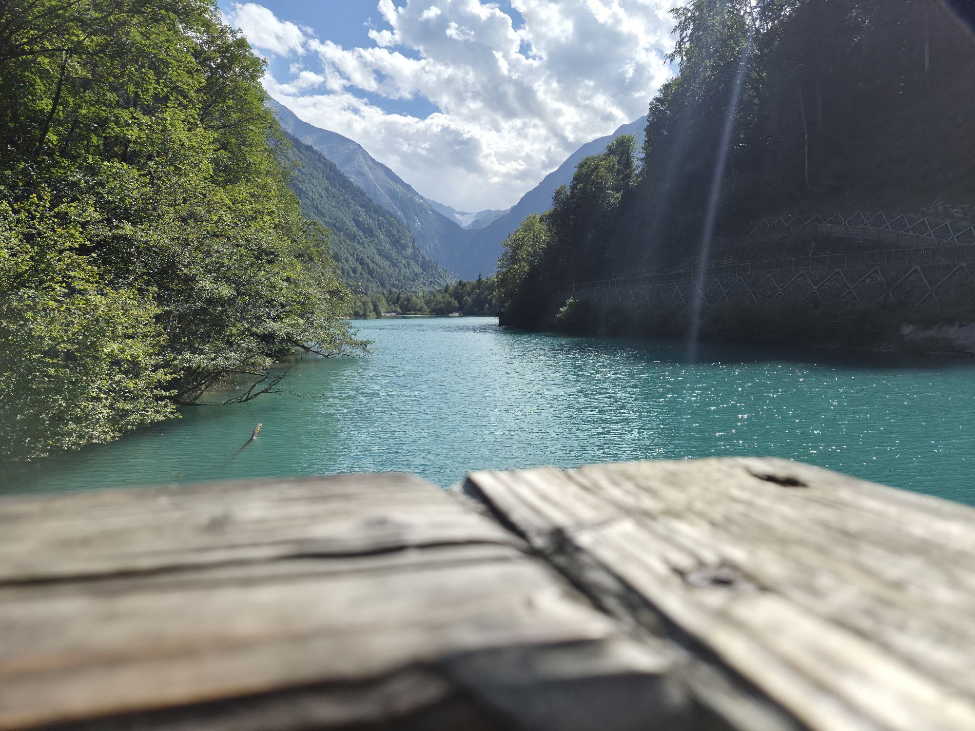
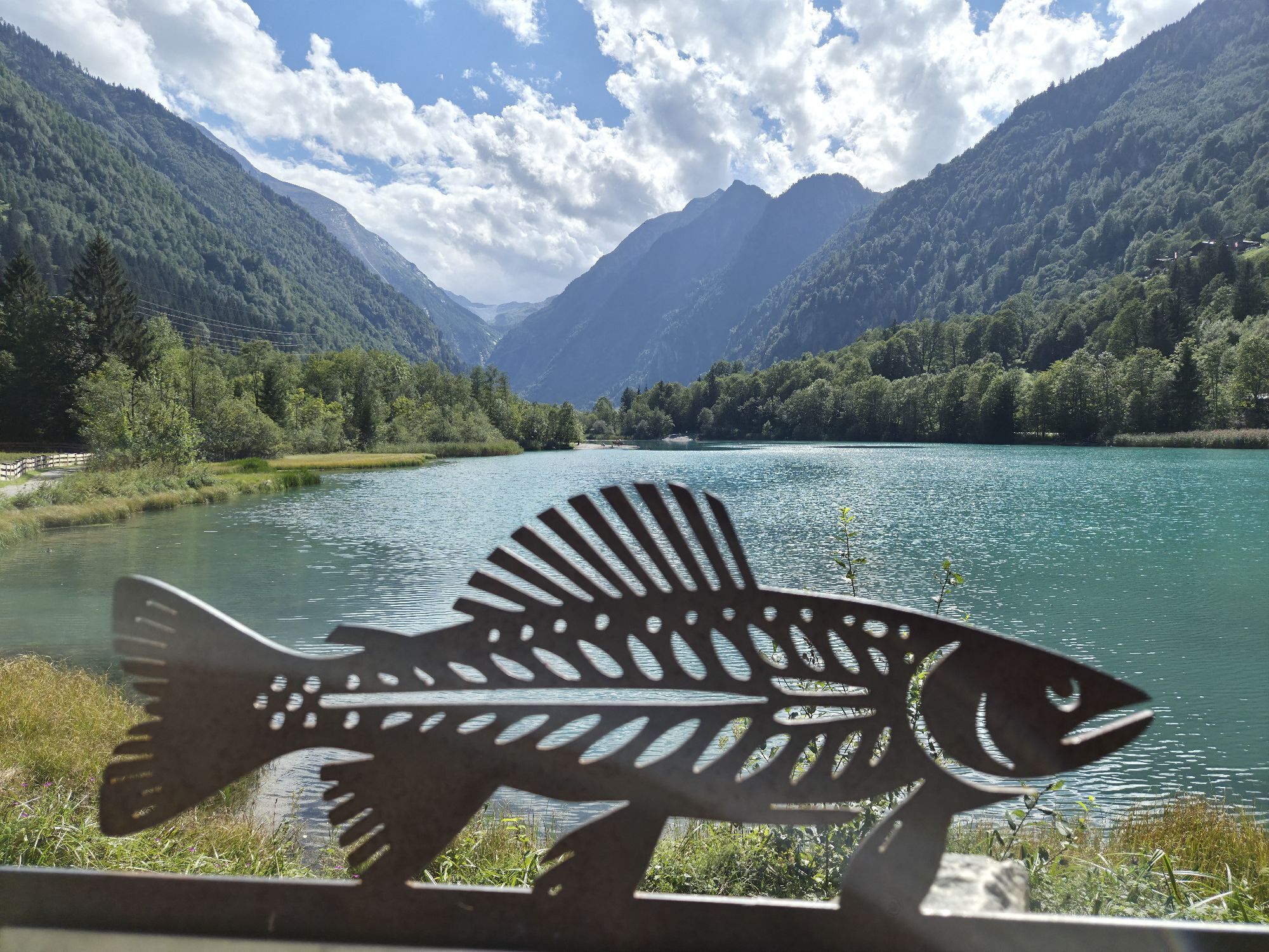
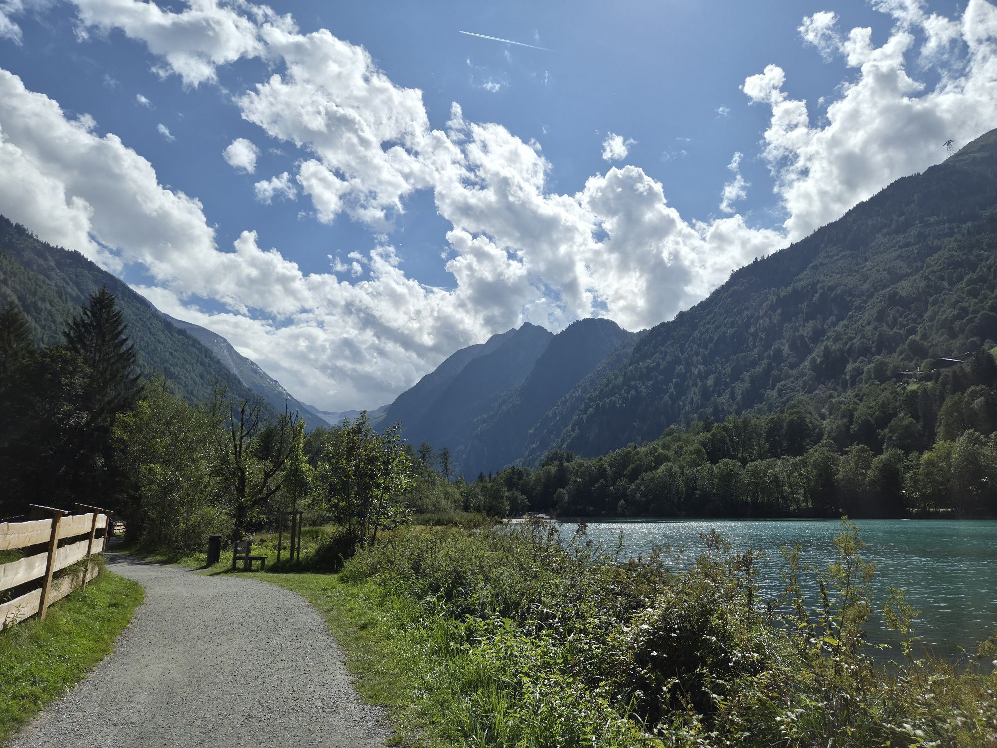
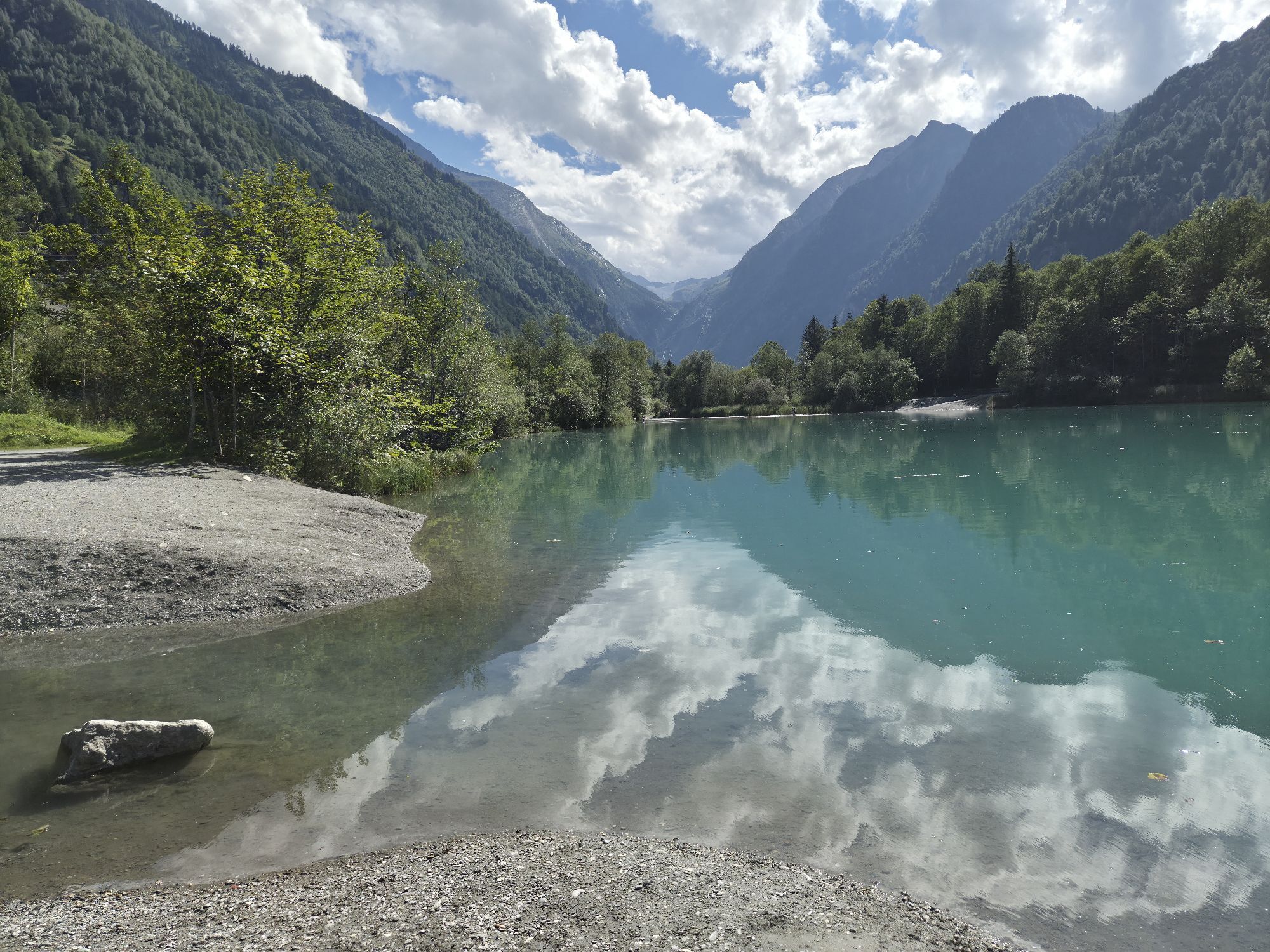
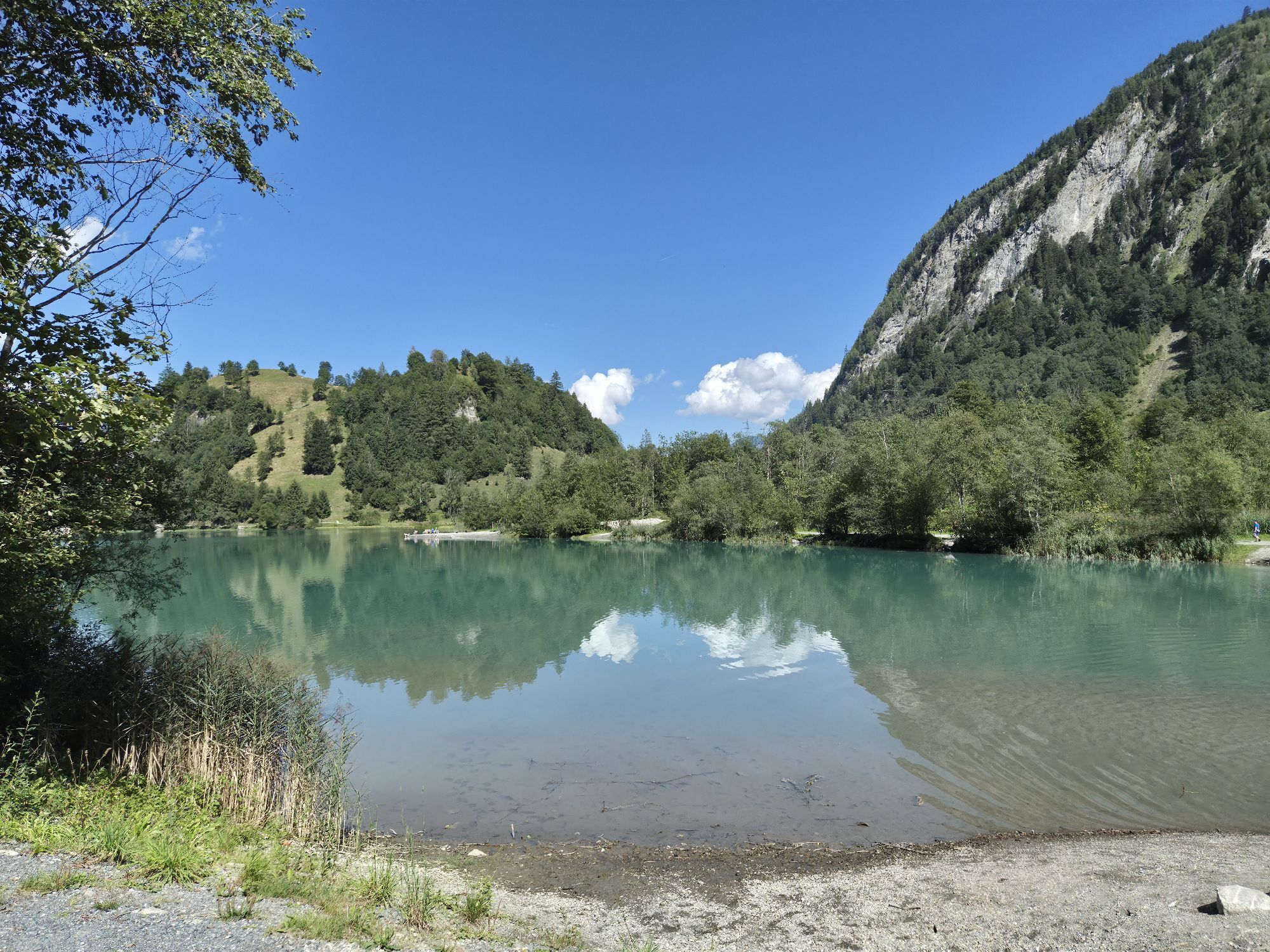
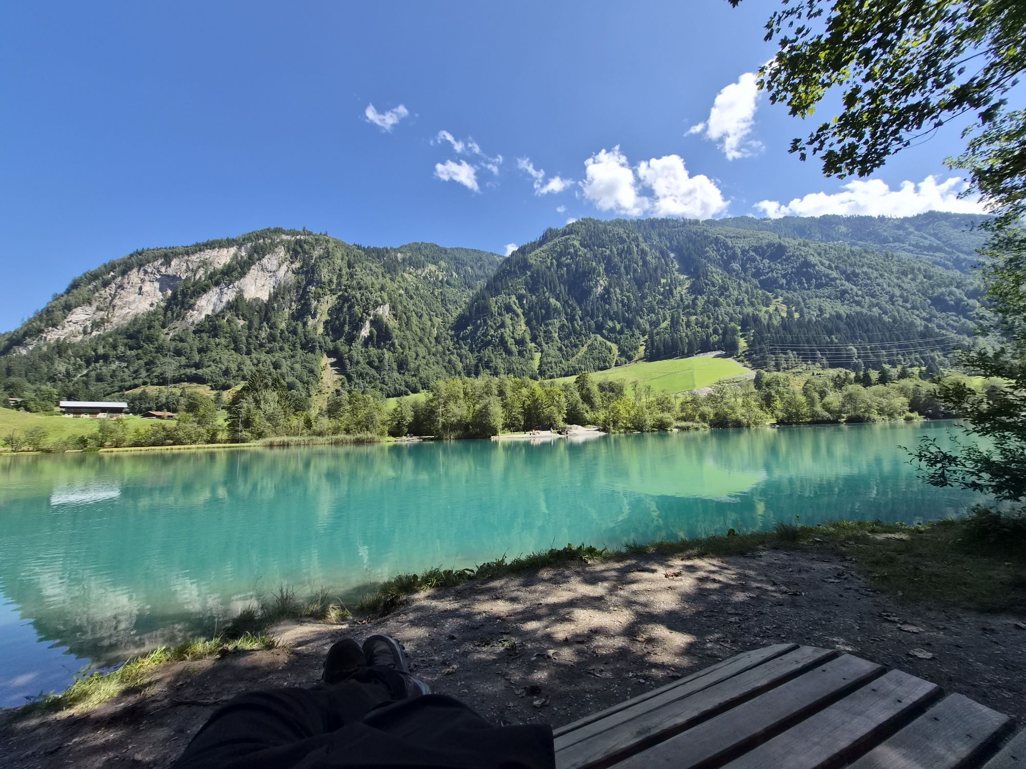
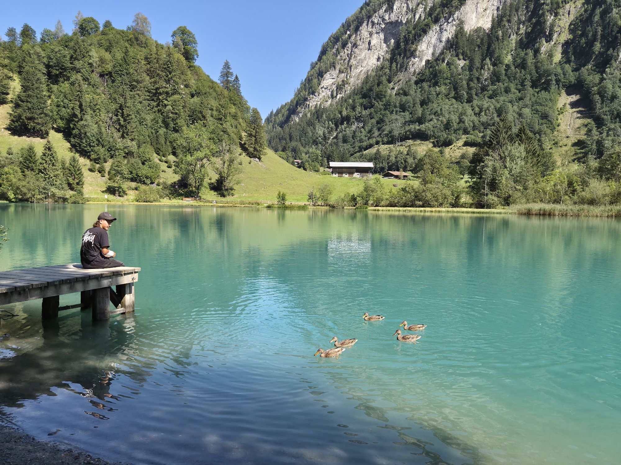
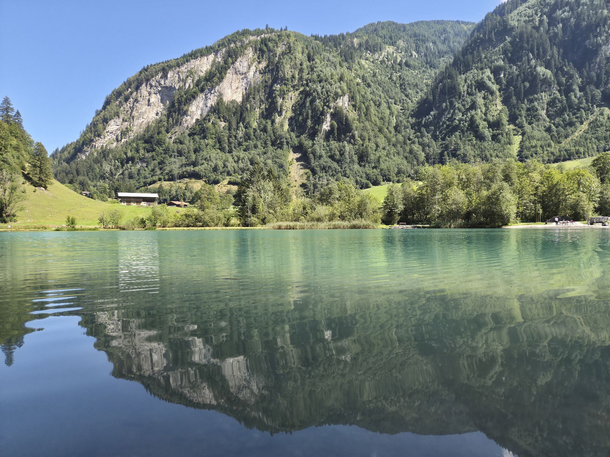
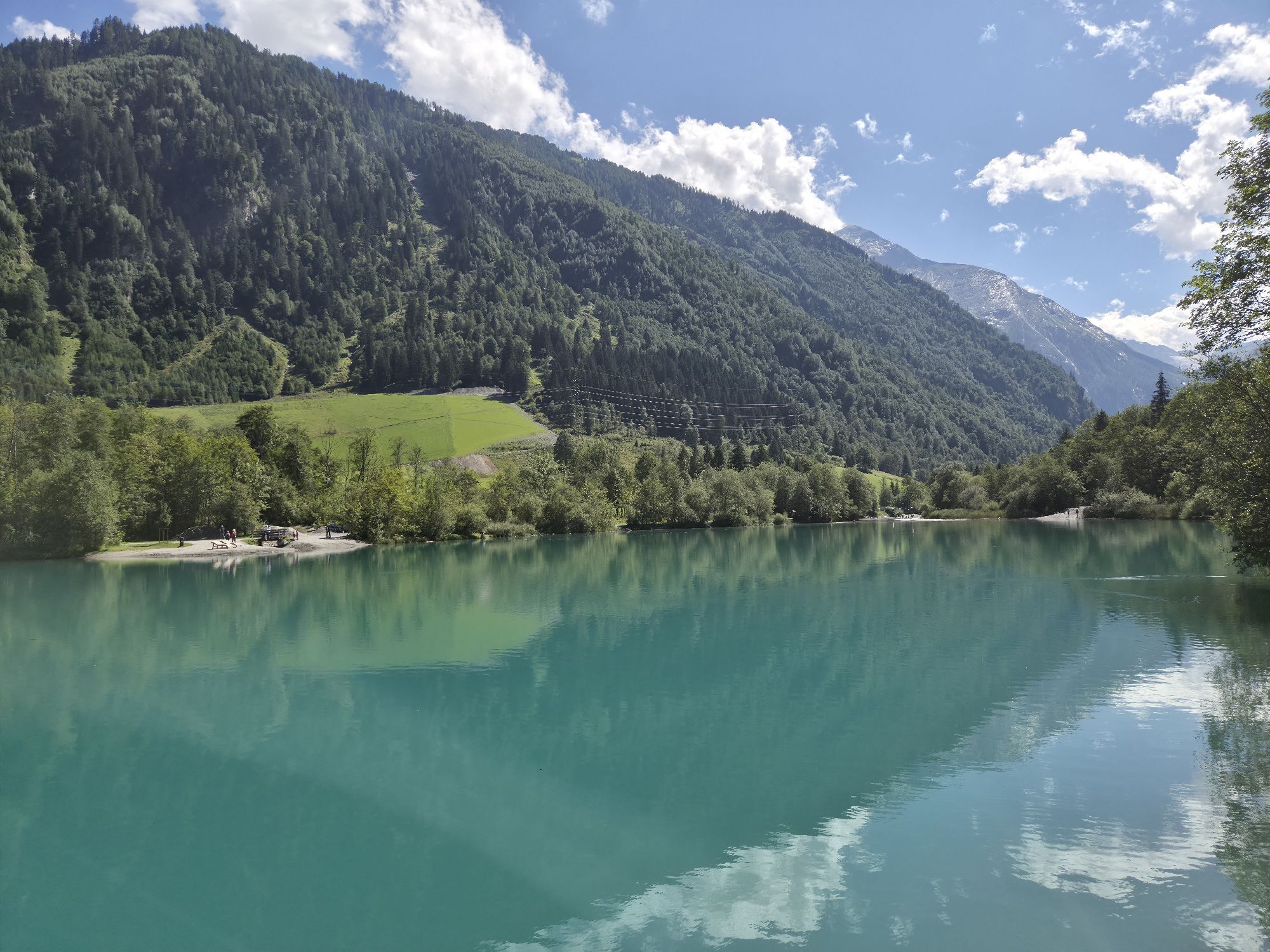
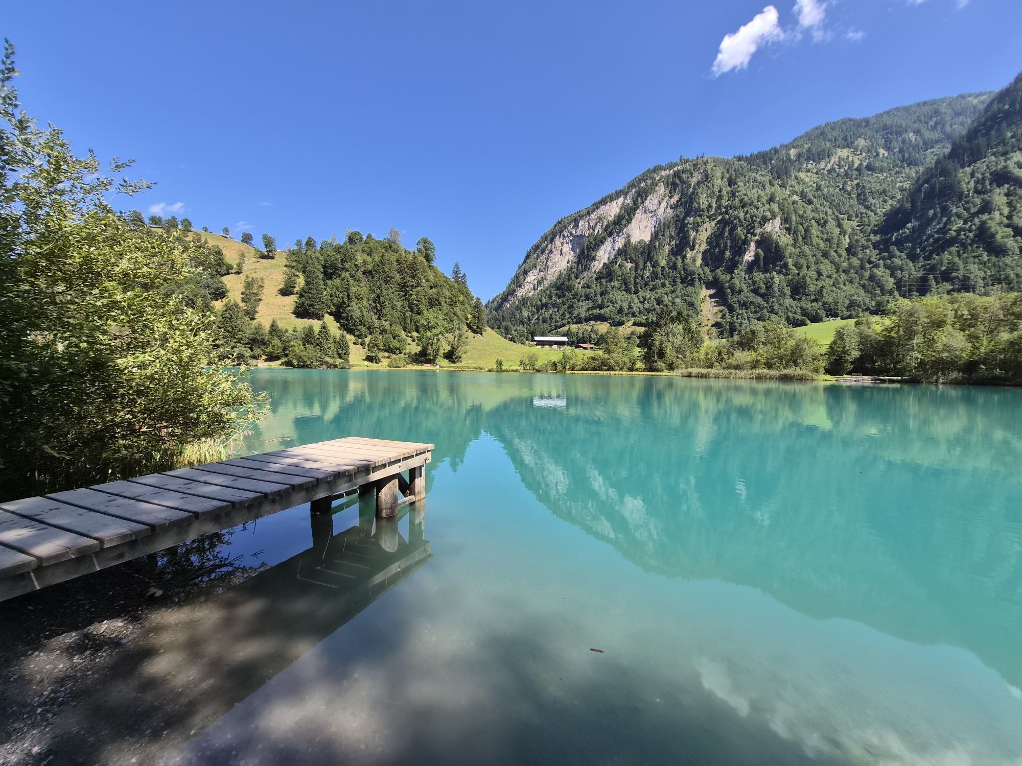
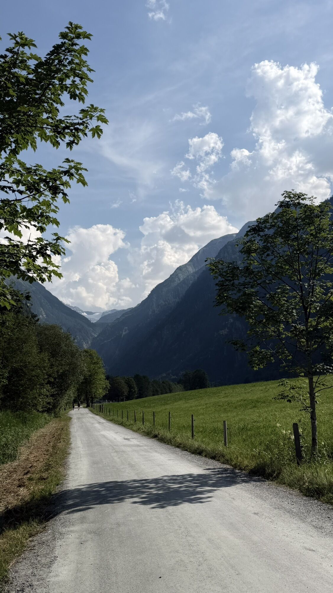
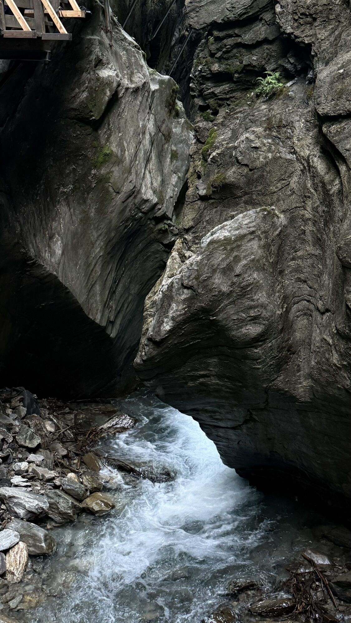
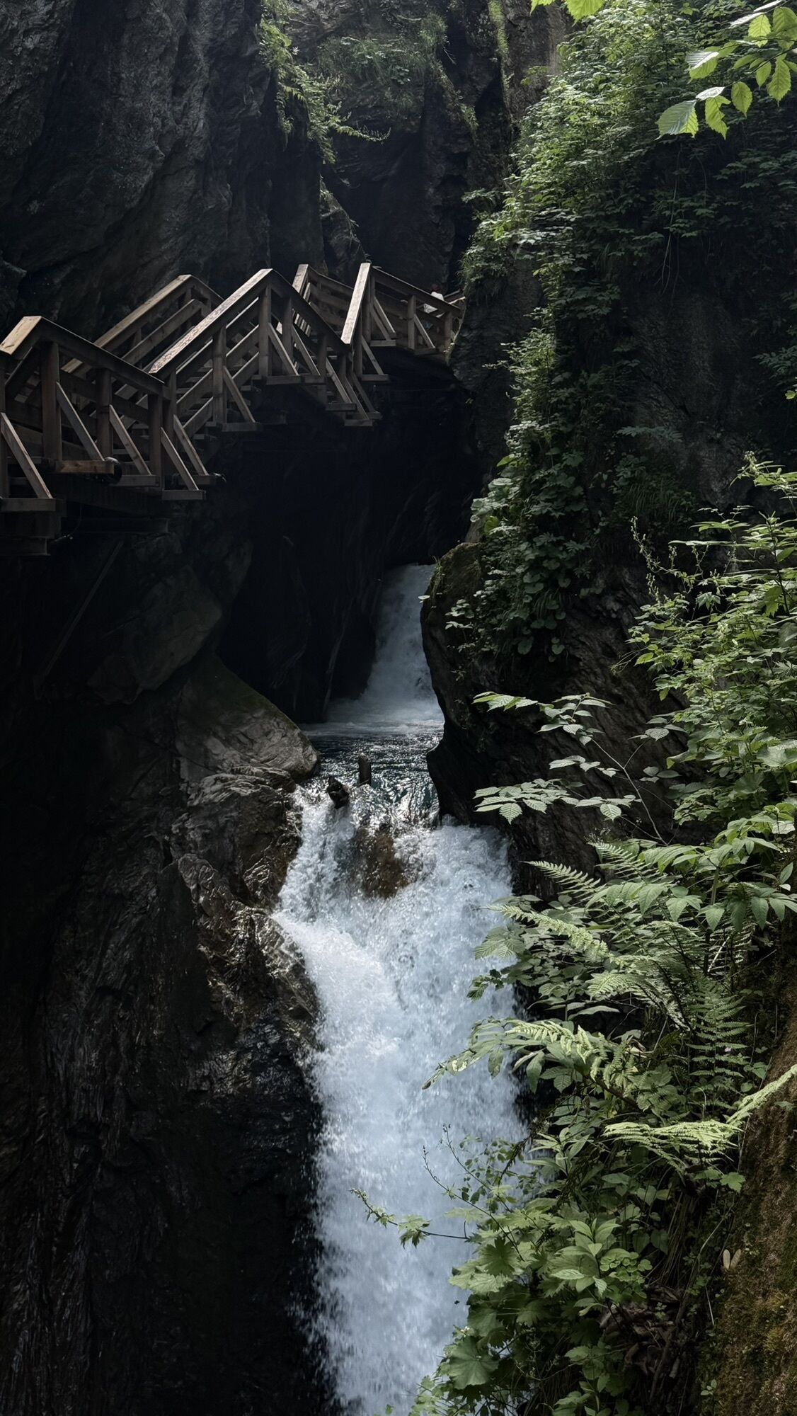
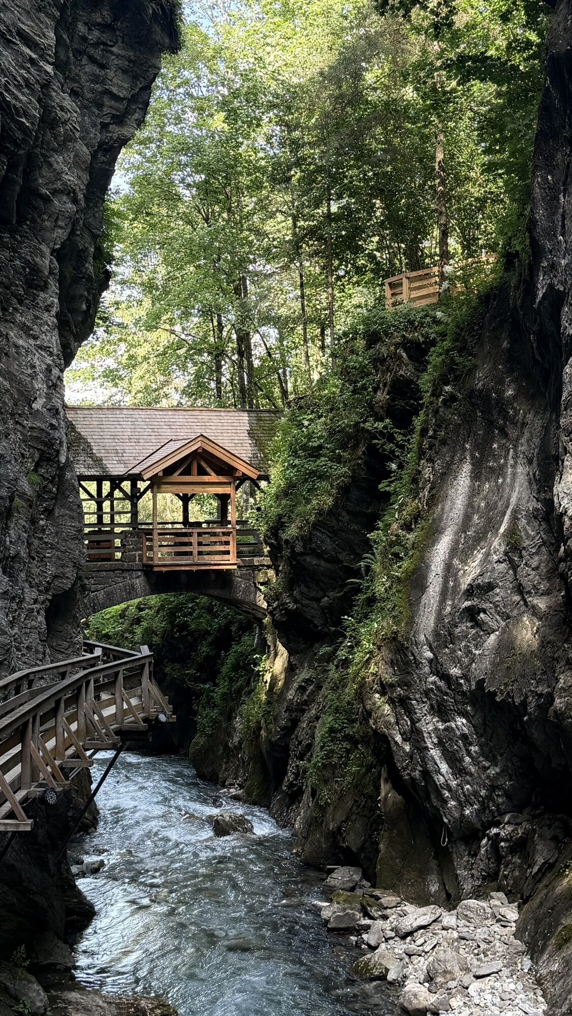
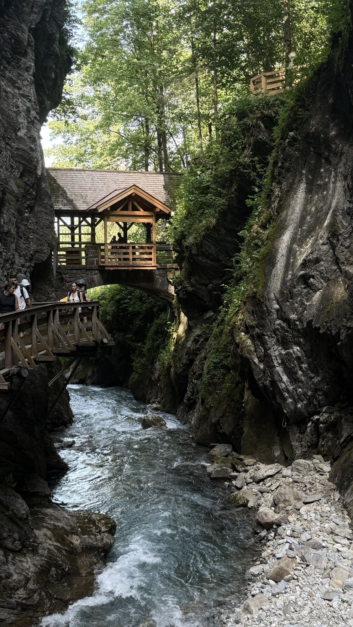
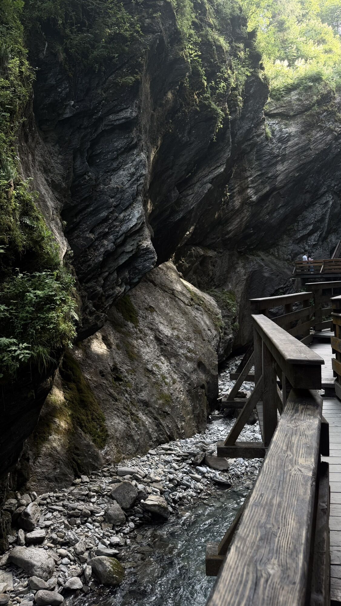
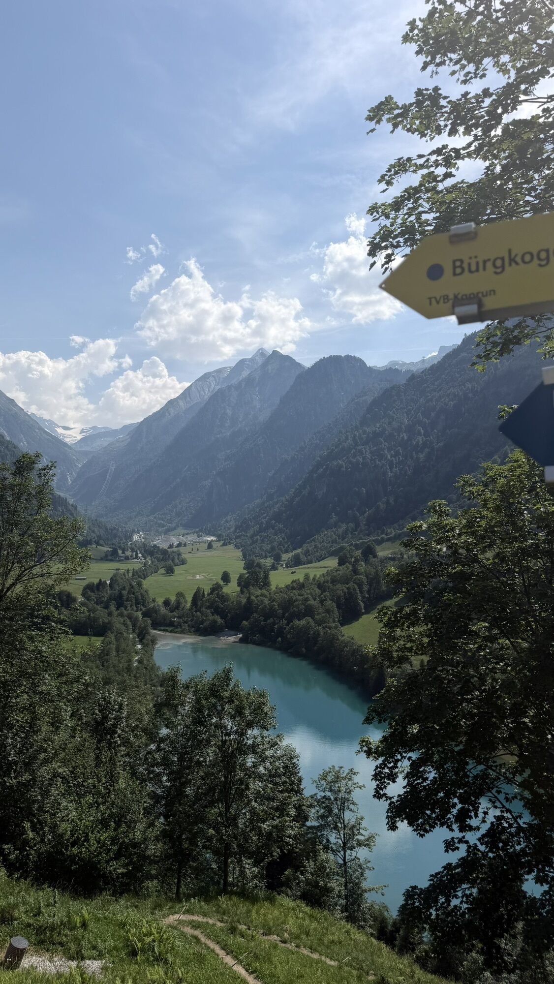
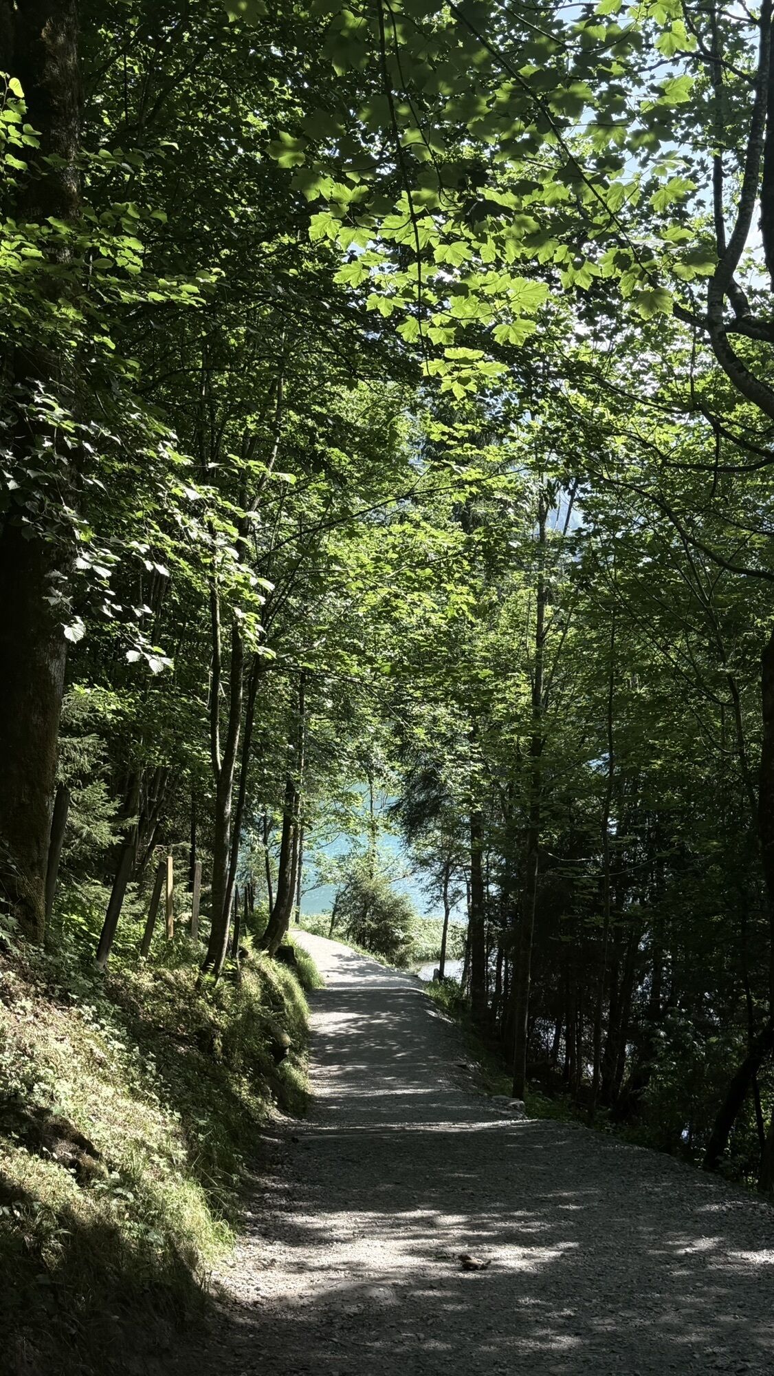
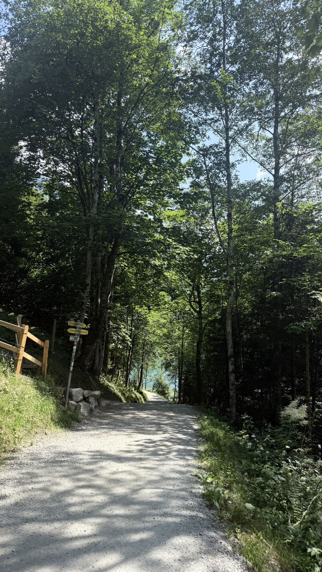
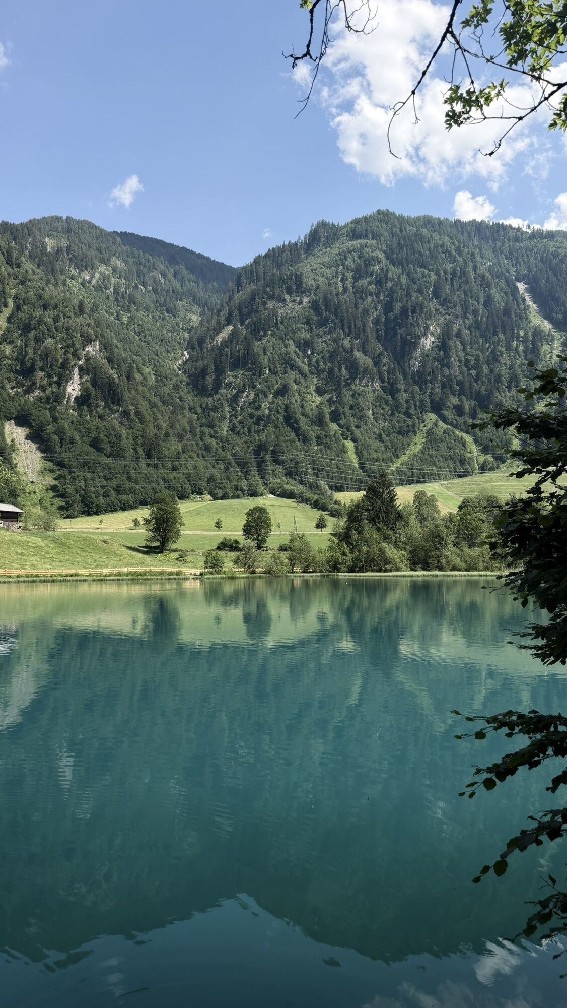
A bit less than half of this tour runs parallel to the eventful Kesselfall Tour (KA3) - the Kesselfall cycle track. Up to the access point to the Sigmund Thun Gorge, the route presents itself on the asphalted and well-signposted cycle track, then continuing on forest tracks and paths through woods. There are always rest areas along the gorge from where you can marvel at the masses of water in the gorge. There are also numerous quiet spots on the banks of the Klammsee reservoir, and the Klammstüberl, with its playground and shallow banks, invites you to take a break. Alternatively, at the intermediate destination of this alternative route - about halfway through the tour - there is a refreshment stop at the Schneckenreith serviced alpine pasture. To reach this, a small climb up to the Schneckenberg must be mastered. The way back to Kaprun is on the other side of the valley, first along the main road (with car traffic), then on narrow trails through sparse forests. Finally, an asphalted main road leads back to the starting point at the information office of the Kaprun Tourism Association.

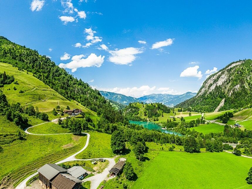
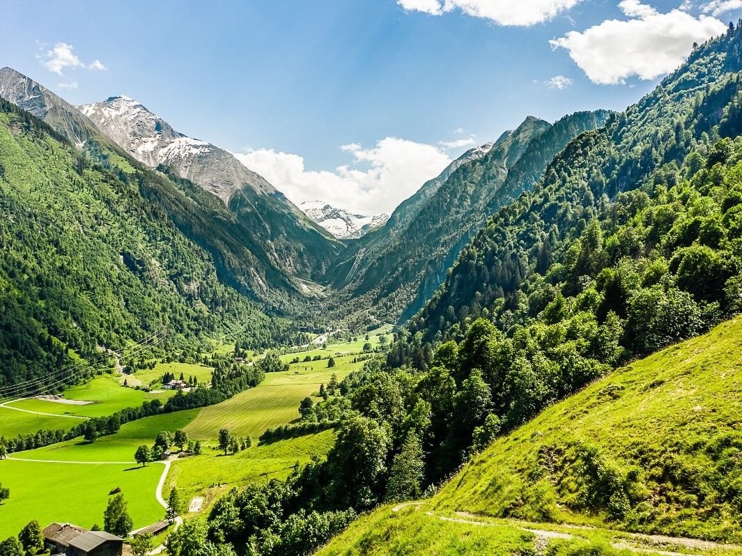
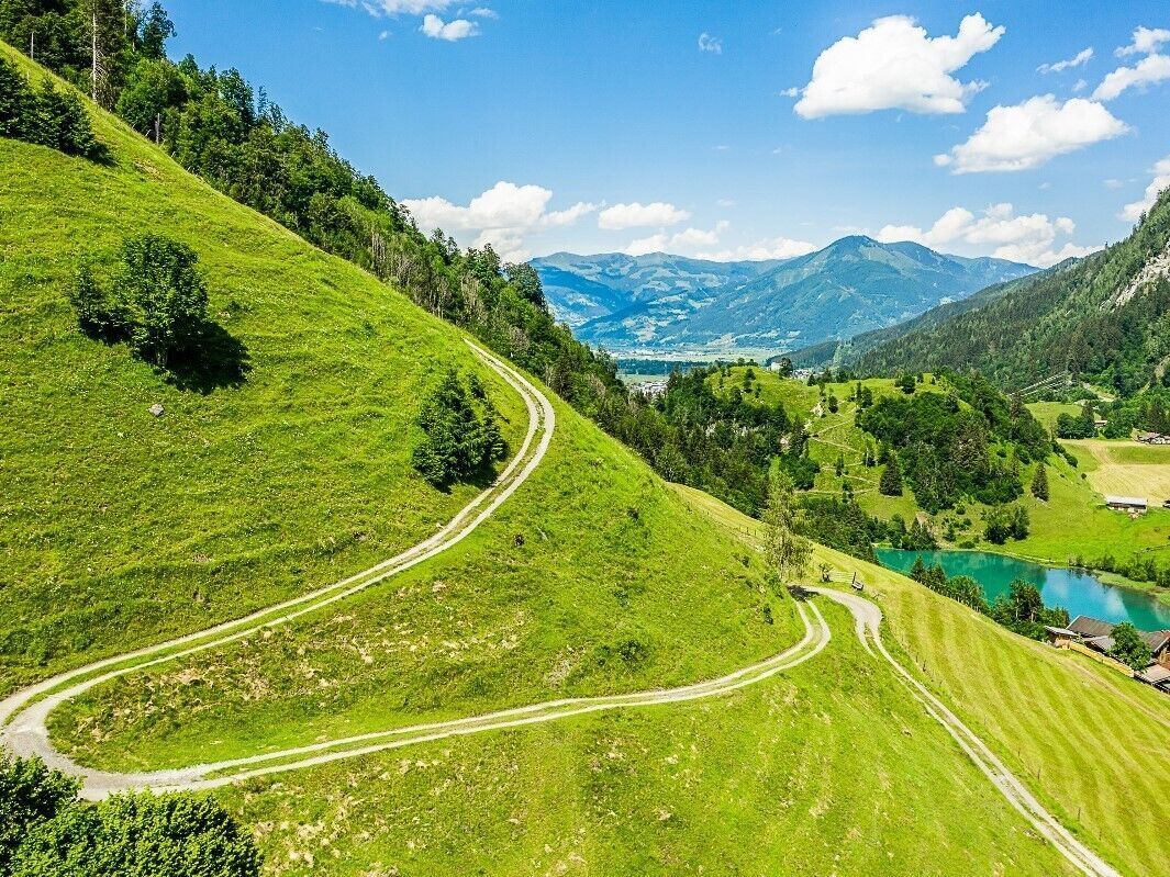
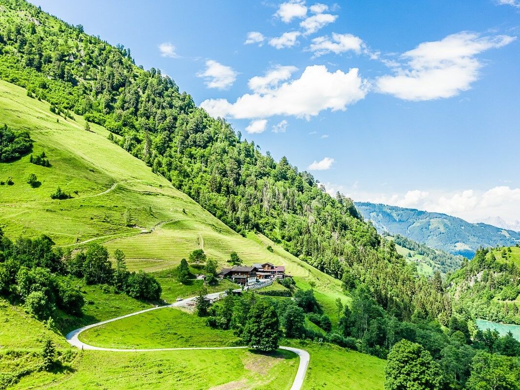
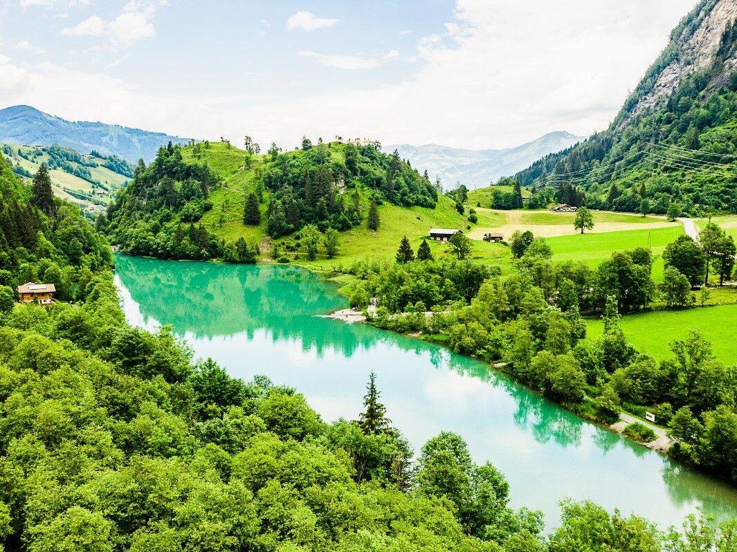

A bit less than half of this tour runs parallel to the eventful Kesselfall Tour (KA3) - the Kesselfall cycle track. Up to the access point to the Sigmund Thun Gorge, the route presents itself on the asphalted and well-signposted cycle track, then continuing on forest tracks and paths through woods. There are always rest areas along the gorge from where you can marvel at the masses of water in the gorge. There are also numerous quiet spots on the banks of the Klammsee reservoir, and the Klammstüberl, with its playground and shallow banks, invites you to take a break. Alternatively, at the intermediate destination of this alternative route - about halfway through the tour - there is a refreshment stop at the Schneckenreith serviced alpine pasture. To reach this, a small climb up to the Schneckenberg must be mastered. The way back to Kaprun is on the other side of the valley, first along the main road (with car traffic), then on narrow trails through sparse forests. Finally, an asphalted main road leads back to the starting point at the information office of the Kaprun Tourism Association.
MTB Ausrüstung
Train station Zell am See
Kaprun Center - MK Maiskogelbahn
refreshment possibilites: farmhouse Schneckenreith, Klamseestüberl


Rutas populares en los alrededores
-
4,3
Maurerkogel (Top)
Senderismo 10,5 km -
4,7
Ruta panorámica con 3 cumbres y 2 lagos
medioSenderismo 7,21 km -
5,0
Wasserfallboden/Mooserboden
pesadoSenderismo 19,5 km -
4,6
Sigmund Thun Klamm, Klammsee, Bürgkogel
luzSenderismo 4,56 km -
4,6
Thumersbach, Runde um den Zeller See
luzSenderismo 13,3 km -
4,7
Fusch: Gleiwitzer Hütte
pesadoSenderismo 8,26 km -
4,5
Areitweg - Plettsauerkopf - Rundwanderung
medioSenderismo 11,8 km -
4,9
Hochsonnberg Runde
medioMountainbike 59,8 km -
4,4
Sigmund Thun Klamm
luzSenderismo 3,10 km -
4,8
Schmittenhöhe - Hochsonnbergalm - choza Pinzgauer
medioSenderismo 9,09 km
Senderismo y rastreo


No se pierda las ofertas y la inspiración para sus próximas vacaciones
Su dirección de correo electrónico se ha añadido a la lista de correo.


