





Sunnseitn Loop Ramsau (SD 821)
Nivel de dificultad: S2
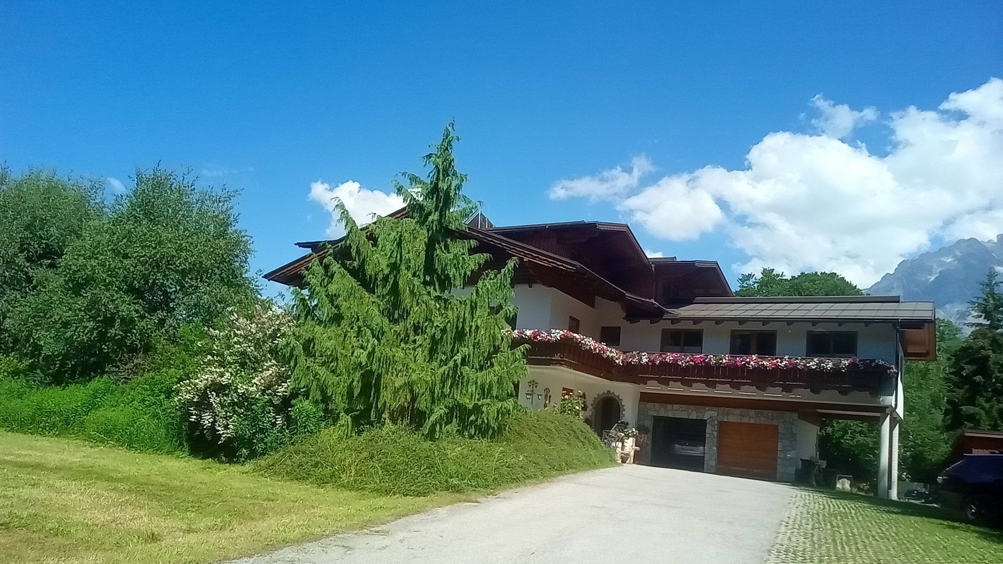
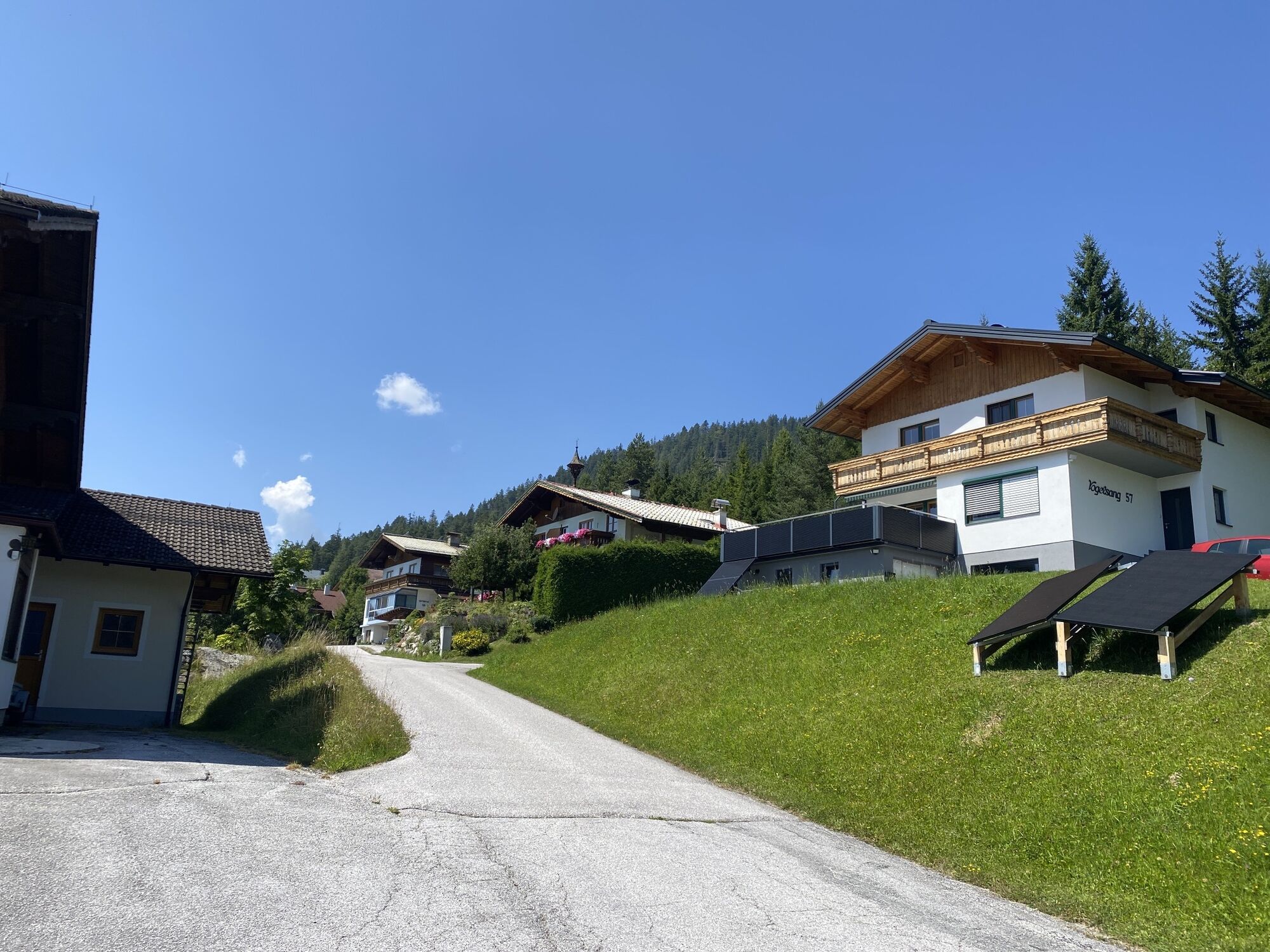
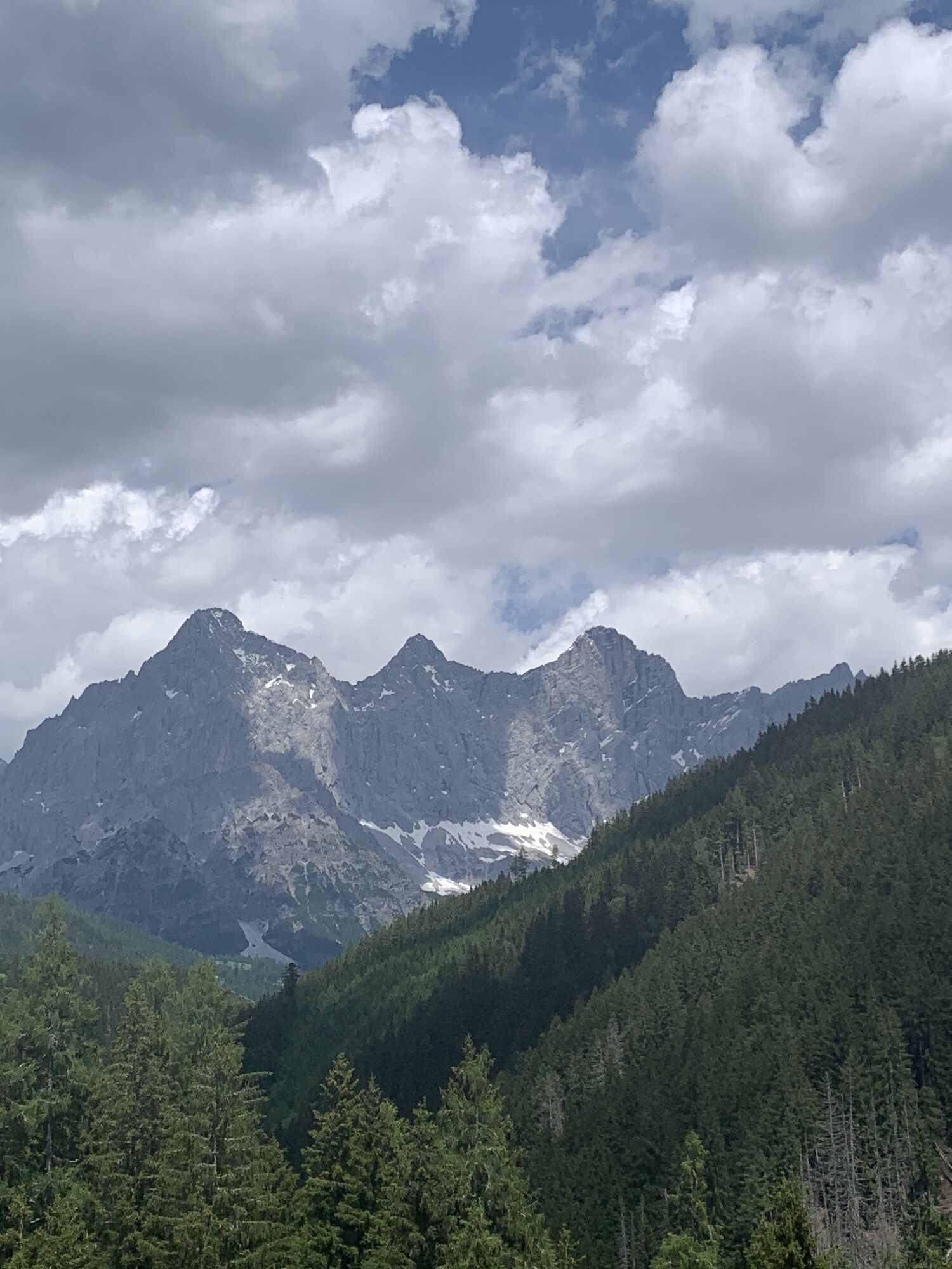
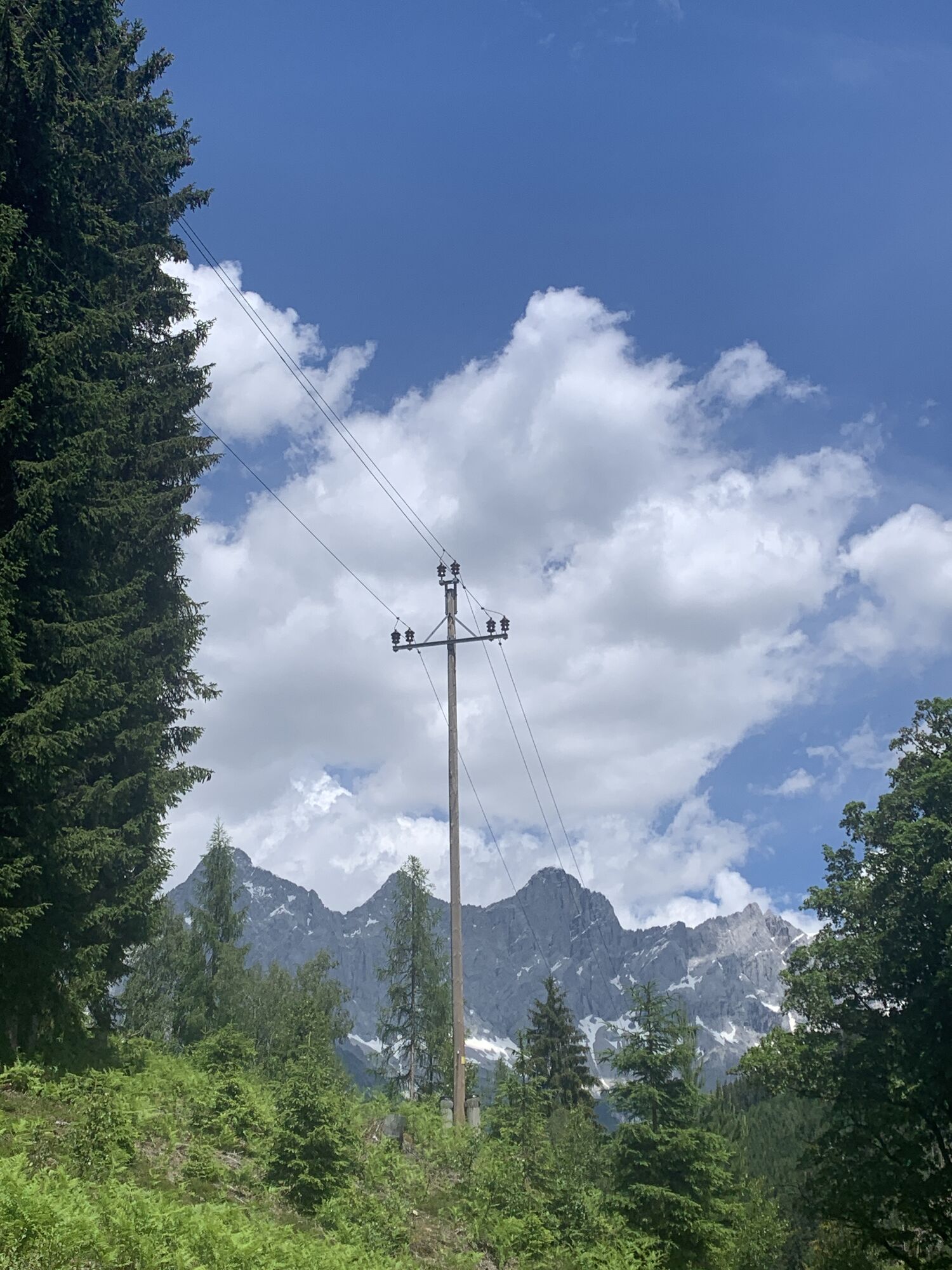
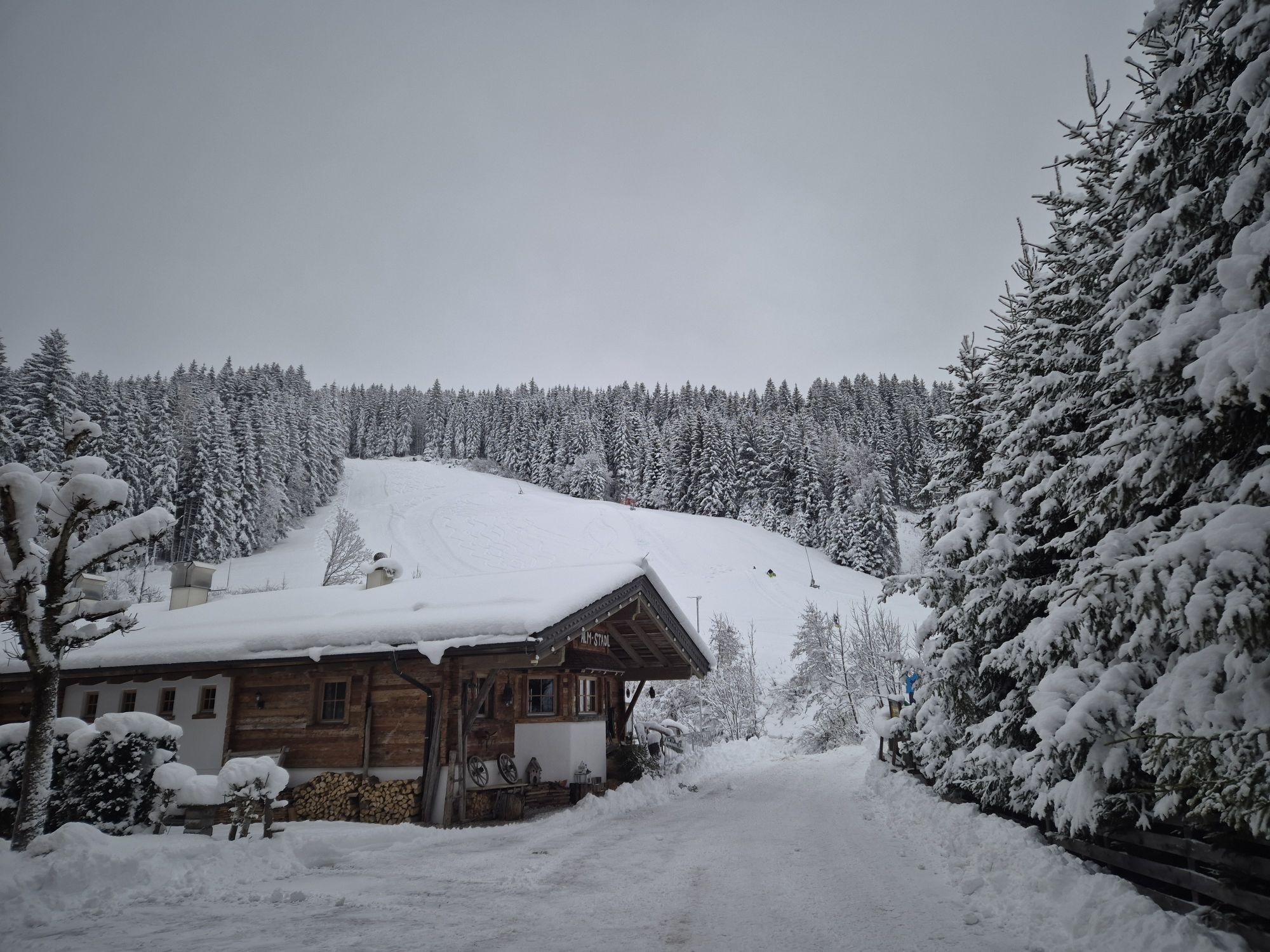
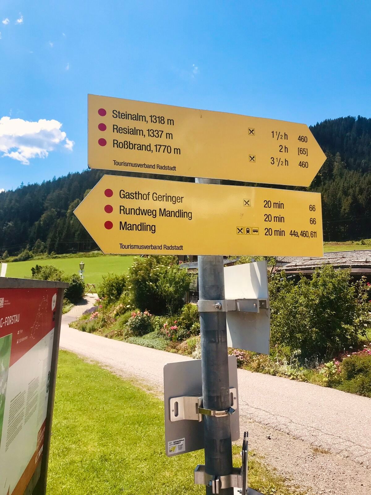
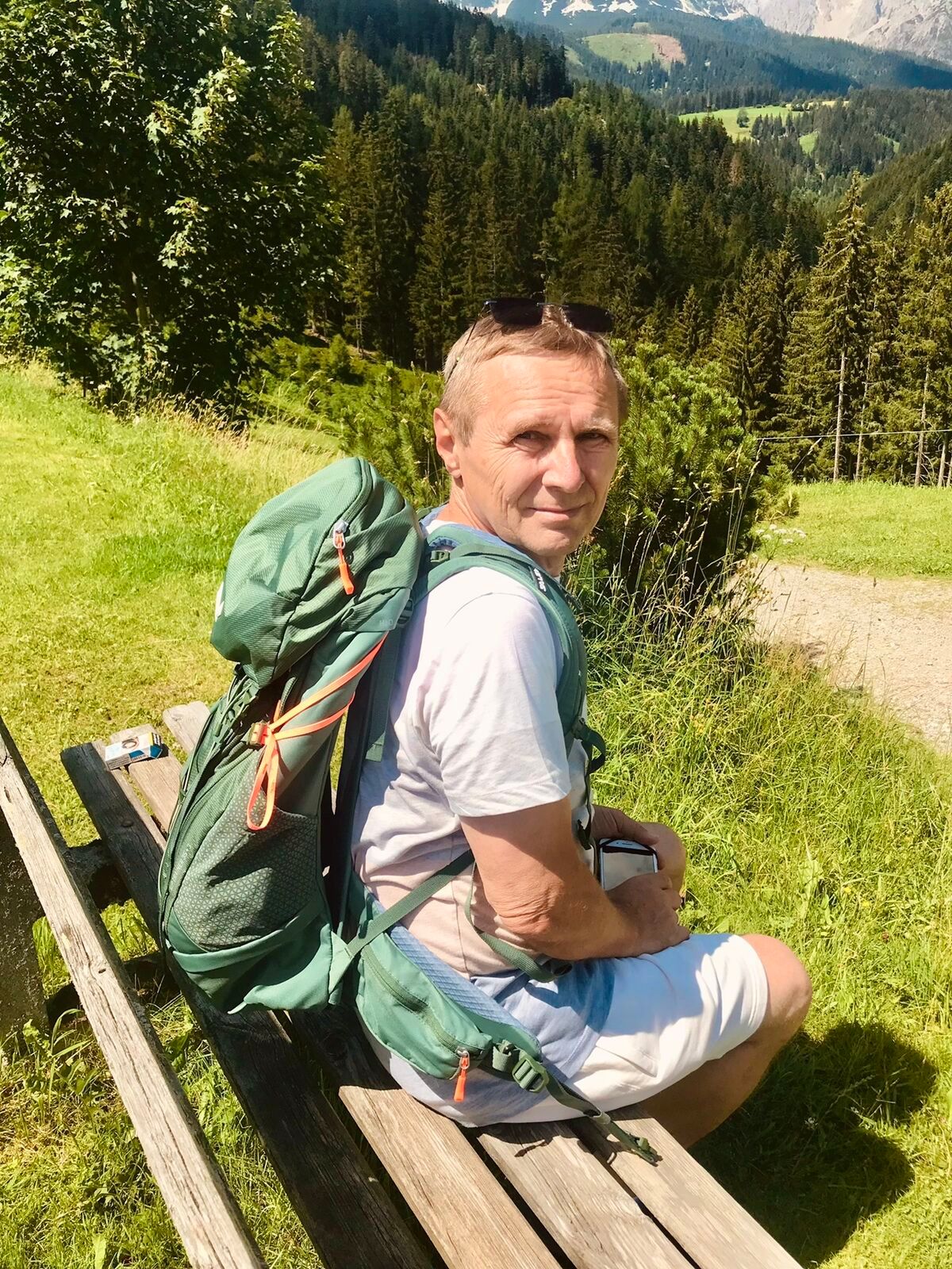
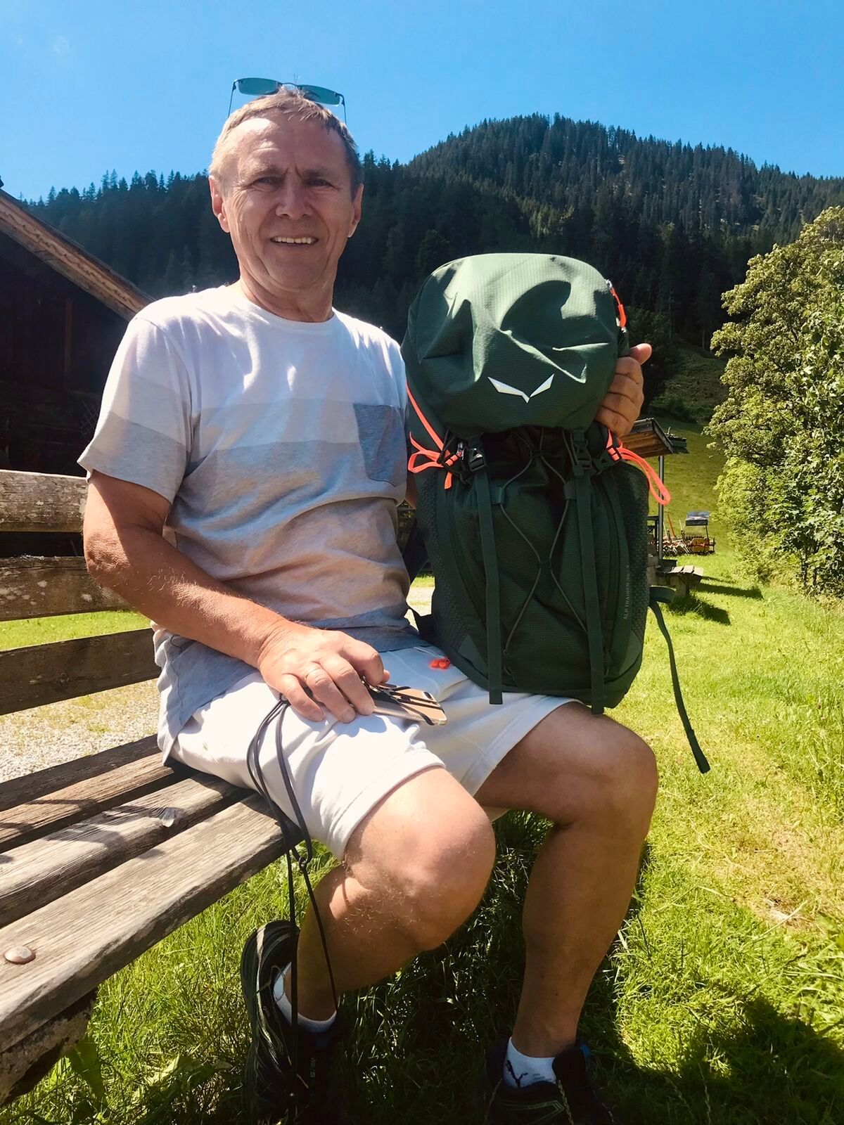
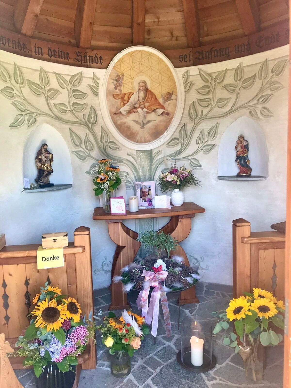
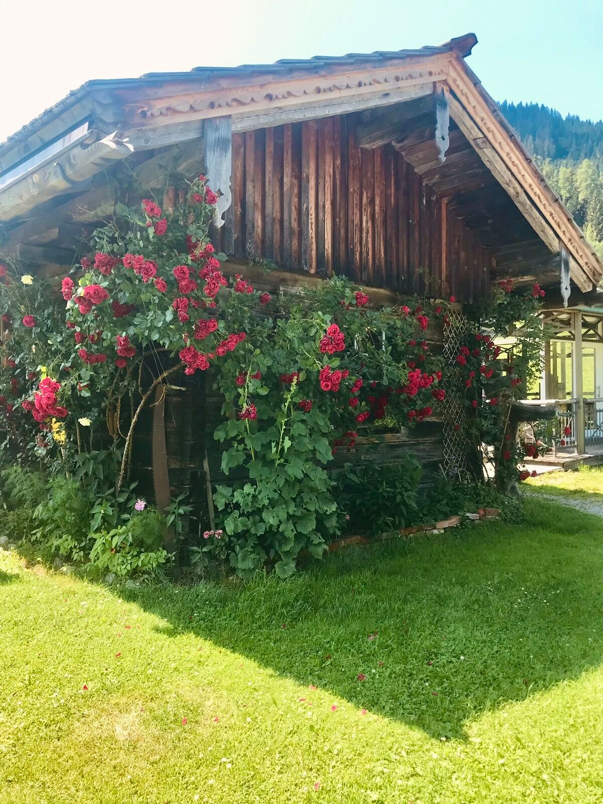
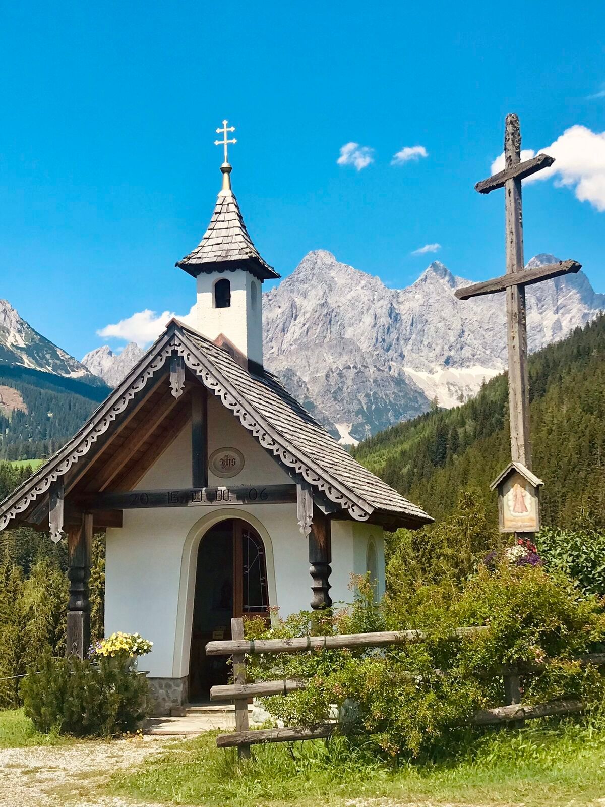
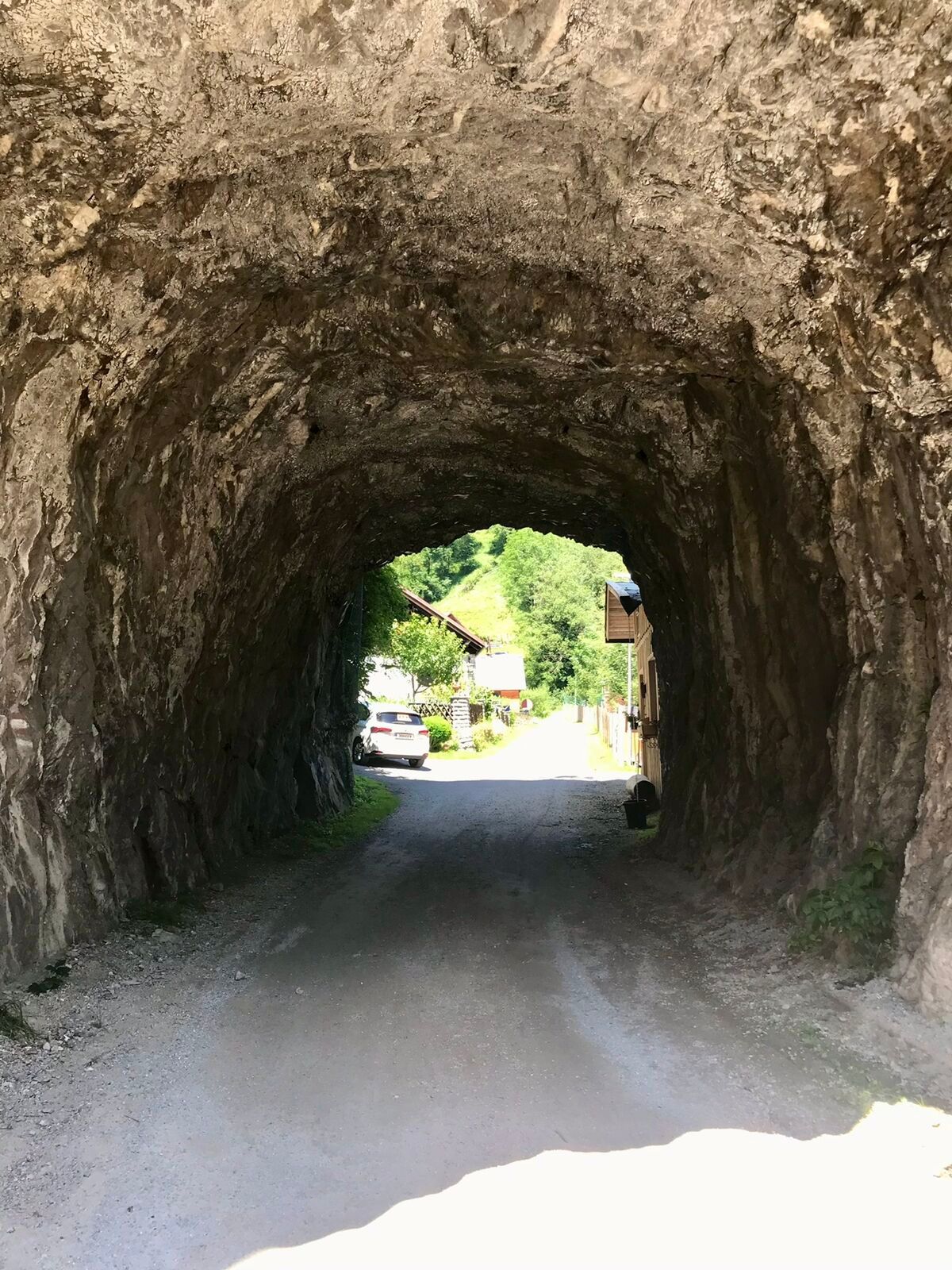
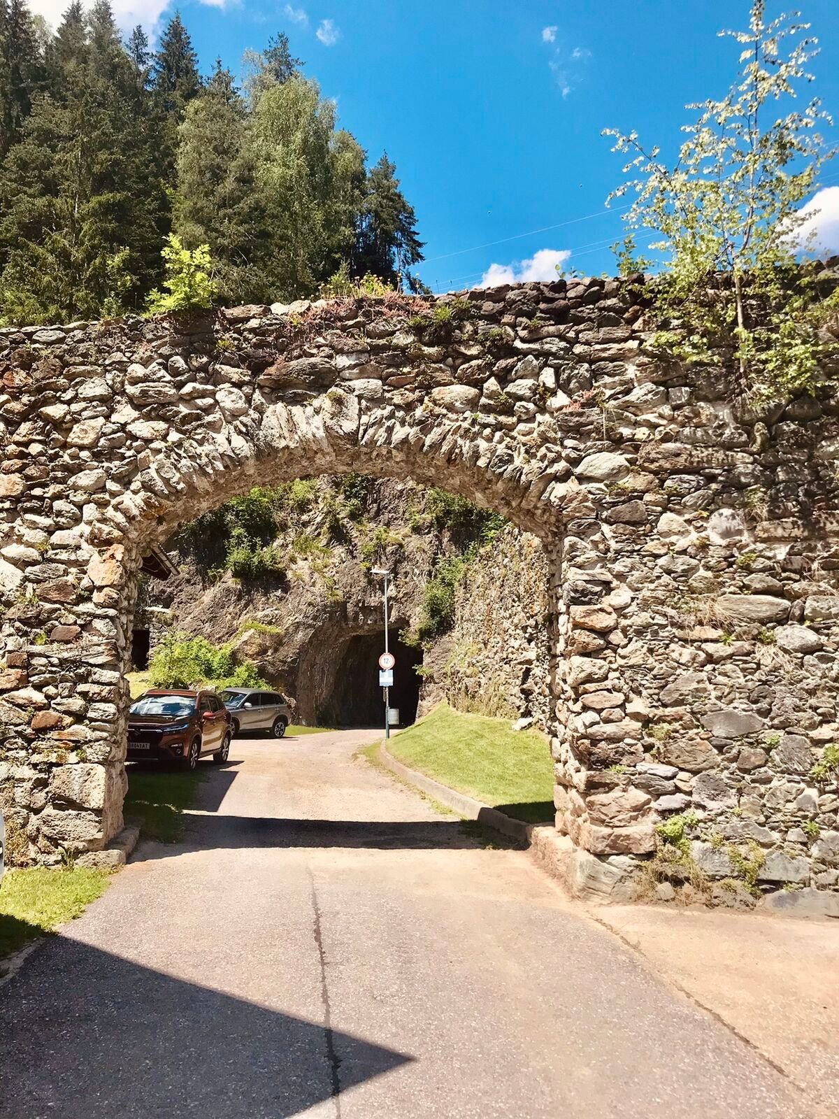
The Sunnseitn Loop Ramsau (SD 821) in Filzmoos and the Schladming-Dachstein region combines a sporting challenge with a varied alpine landscape. Between gentle valleys, dense forests, and wide alpine meadows,...
The route passes through traditional villages such as Ramsau am Dachstein, Schladming, Mandling, and Pichl, showcasing the diversity of the region between Salzburg and Styria. Agricultural landscapes, small farms, and alpine infrastructure alternate with impressive panoramic viewpoints.
This tour is aimed at endurance-oriented cyclists who want to combine physical activity with scenic enjoyment. The combination of alpine scenery, cultural insights, and varied terrain makes it one of the most impressive circular routes in the Alpine region.

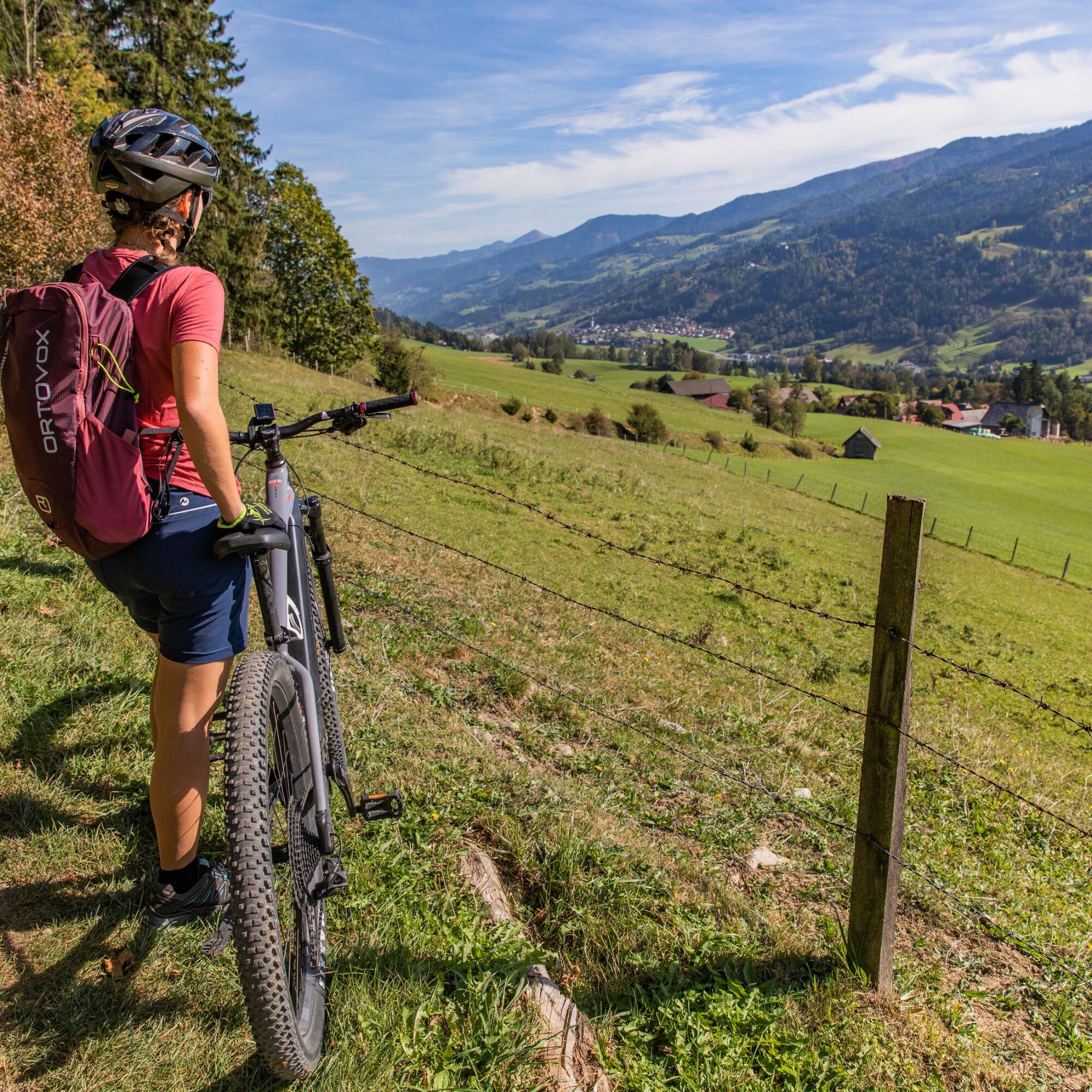
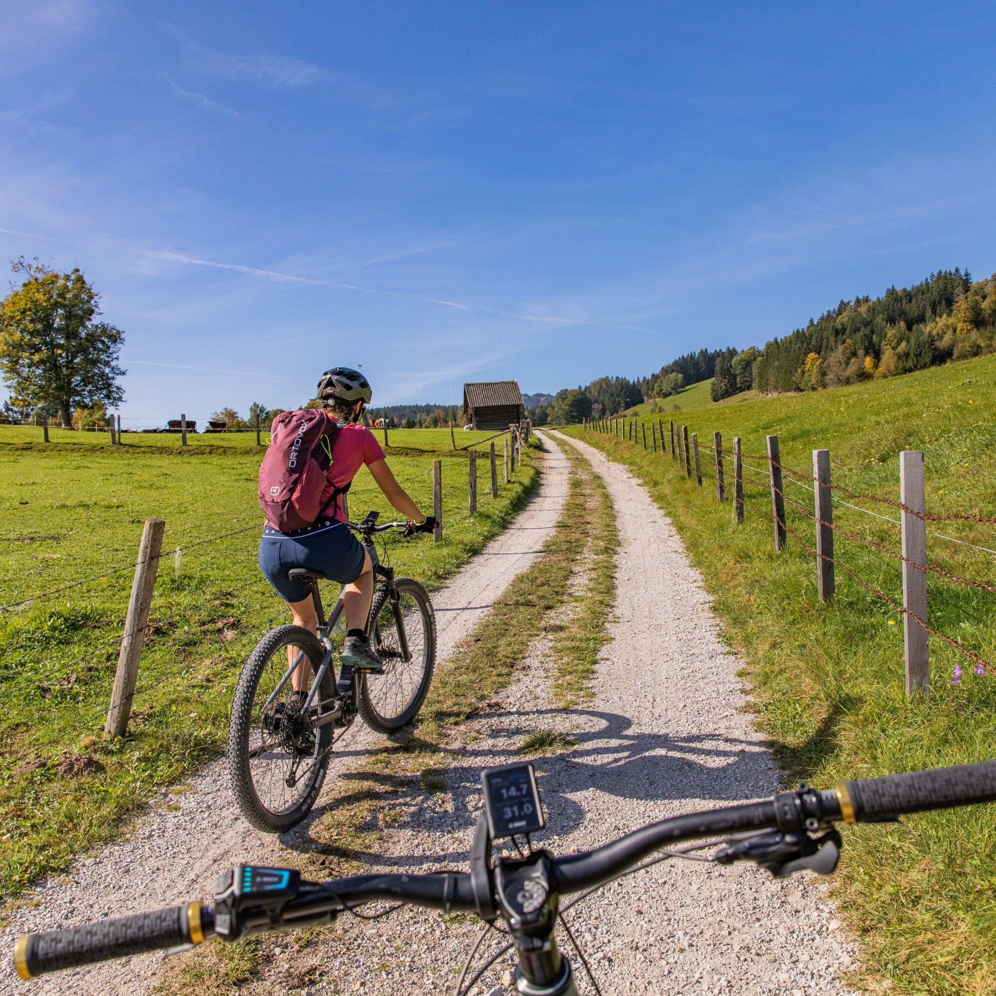
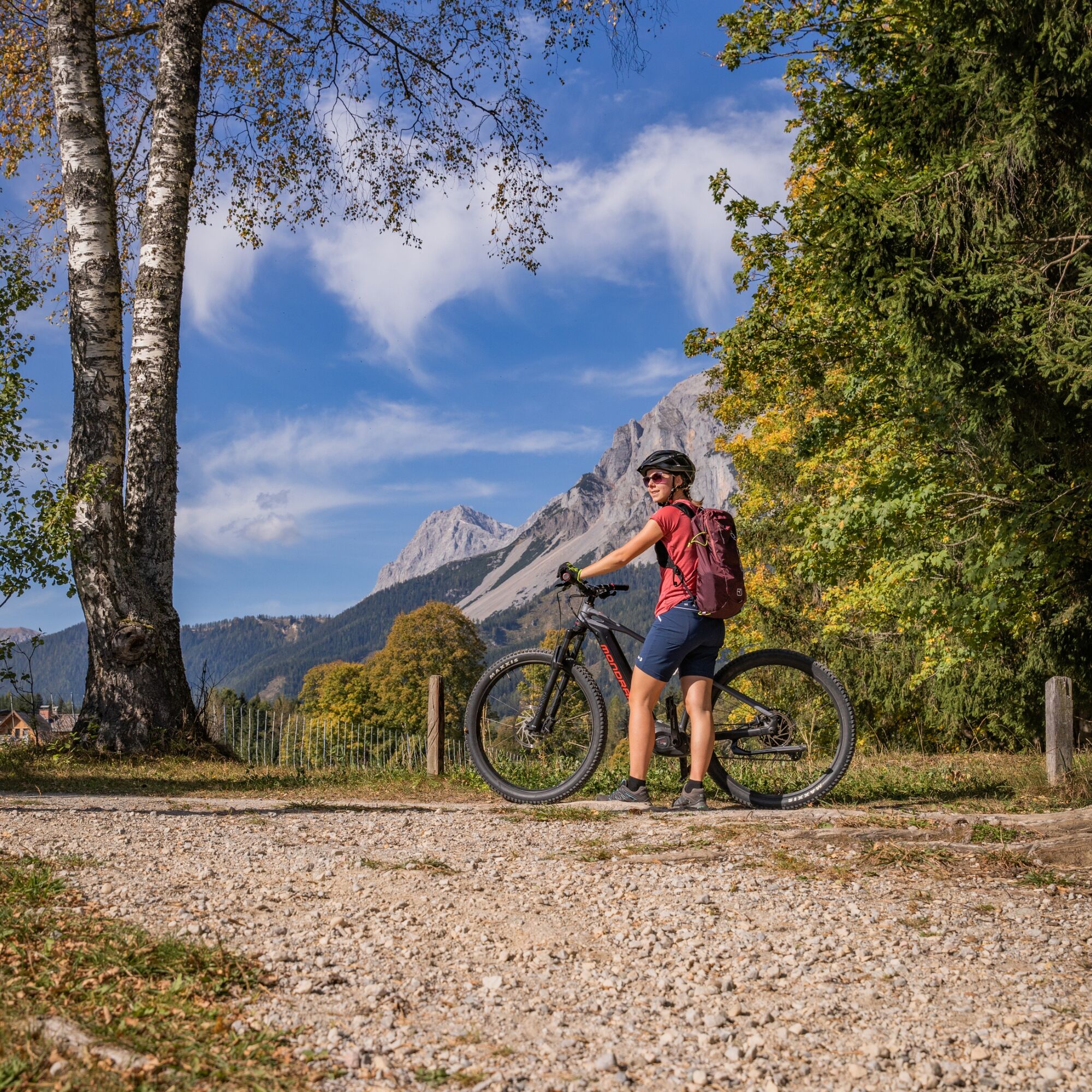
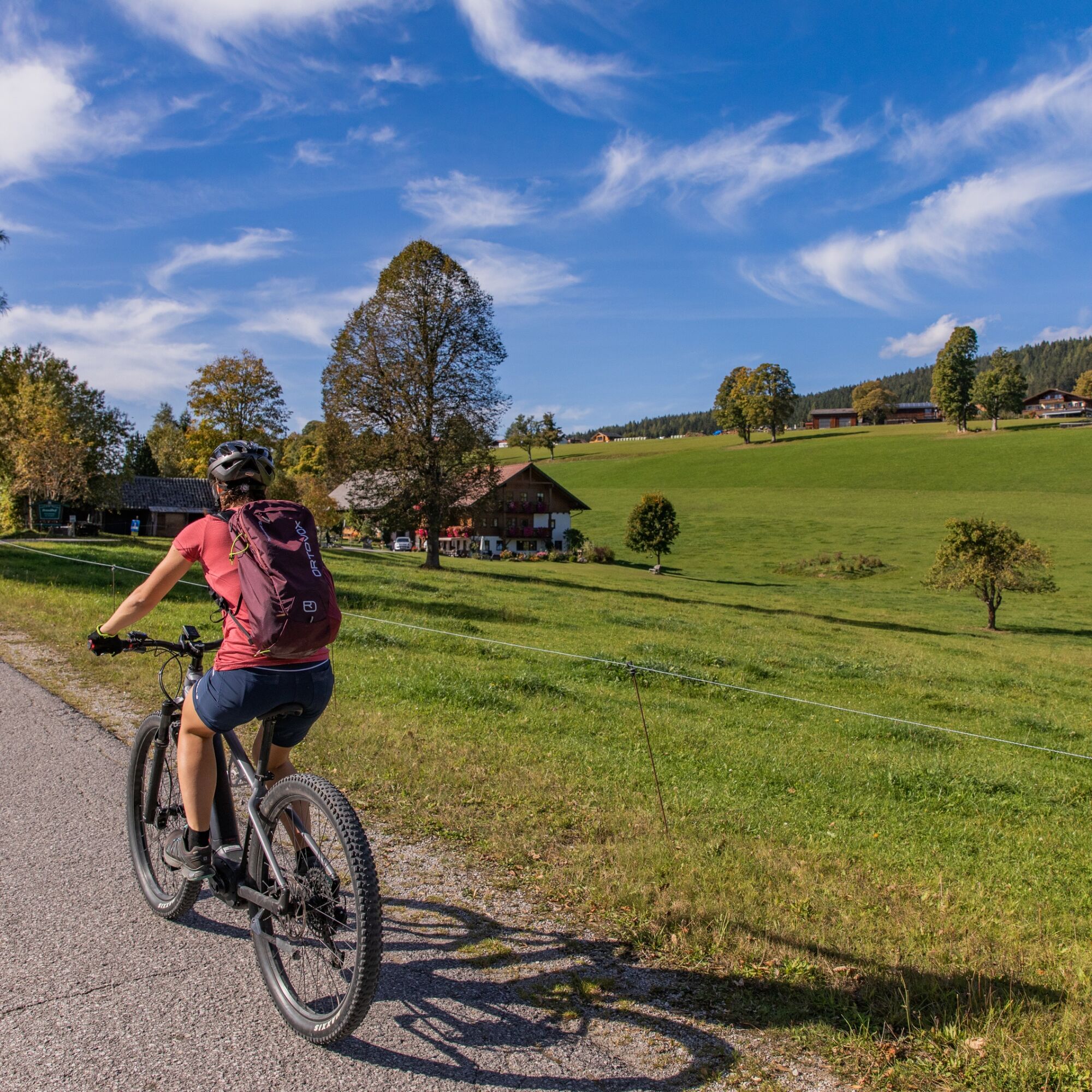

From Mandling, the route continues to Pichl and then follows cycle paths and secondary roads to Schladming. In the town centre, you head towards the Planai valley station and continue via Zirngast to Oberndorf, then over Birnberg to Timmelbauer.
At Timmelbauer, you follow the Strimitzweg via Untere Leiten to Weiglhof. The route continues via Torf to the Brandlhof organic farm, then on to Stockerwirt and further to Fichtenheim. At the Pichl–Vorberg junction, you keep direction towards Pichl Vorberg and descend via Steirerhof back down to Pichl.
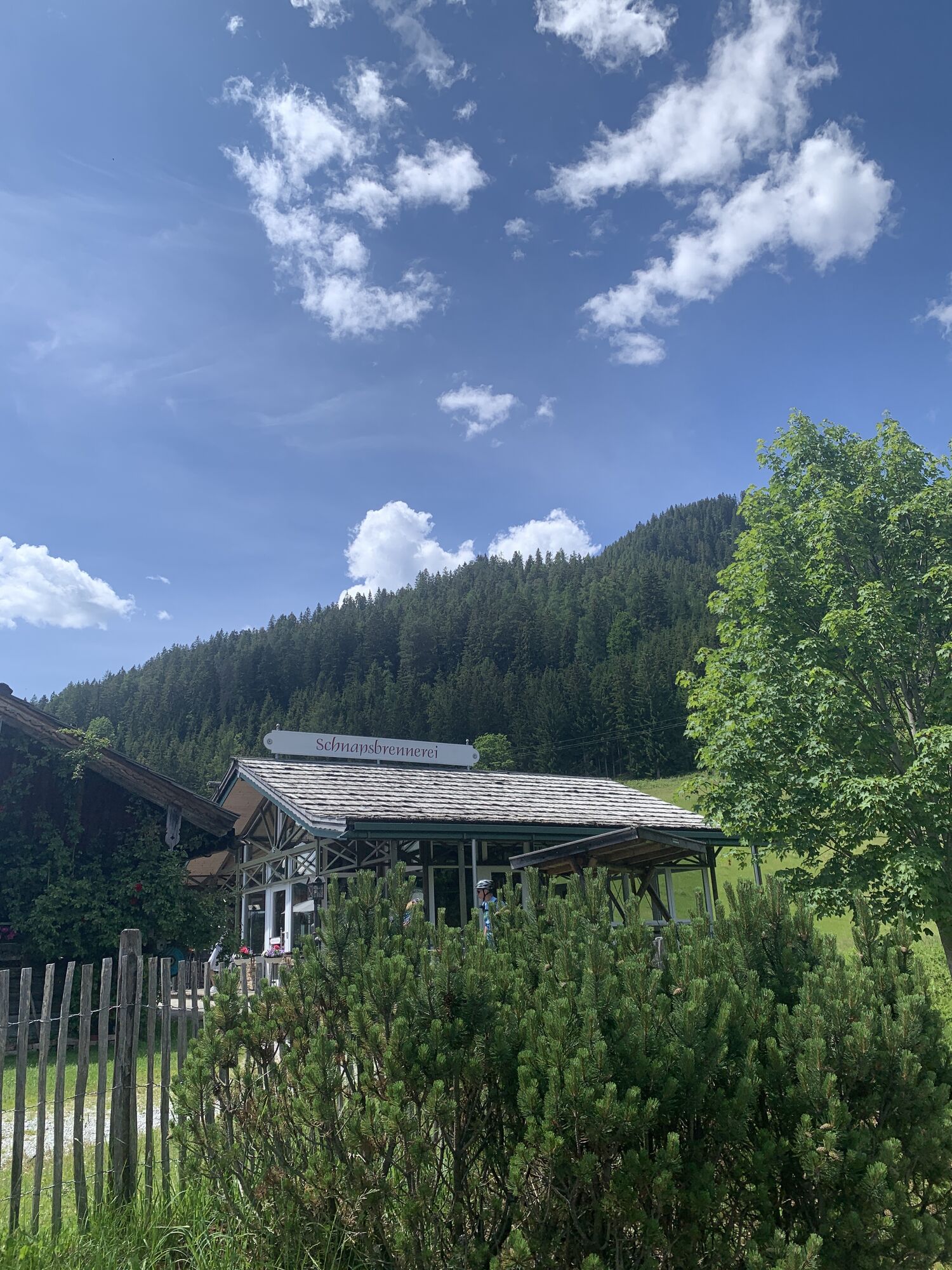
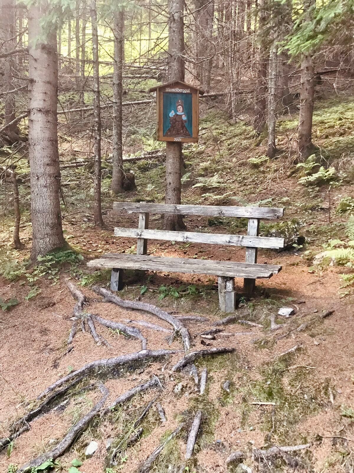
In Pichl, you reach the Enns cycle path, which you follow to the underpass in Mandling. After that, you turn left onto the B320 and ride a short section westbound before leaving the main road again. The climb then begins on the road up to the Mandlbergkaffee, where you can enjoy regional specialties and also visit the local pine and schnapps distillery.
Through forest sections and well-rideable forest roads, the route steadily climbs back towards Filzmoos, with the final section following the same path as the outbound route.
Sun and rain protection, helmet, cycling map material, sufficient to drink.
In case of emergency, please call the following emergency numbers: No. 140 - Mountain rescue No. 112 - European emergency number
Coming from Ramsau am Dachstein: At the roundabout, take the exit towards Neuberg – shortly after the gas station, turn left. There is a public paid parking lot opposite the gas station.
Destination stations: Eben im Pongau or Radstadt (both on the Salzburg – Bischofshofen – Schladming – Graz railway line). From Salzburg main station, there are regular trains (about once every hour). The journey takes about 1 hour.
Continue by bus or taxi: From Eben im Pongau or Radstadt, bus line 521 goes directly to Filzmoos, stop Neuberg/Reitsteg (travel time approx. 20–30 minutes). Alternatively, taxis are available at the station. Tip: The buses do not run very frequently – check the timetable in advance and whether the bus also transports bicycles on ÖBB
With the Fidibus summer service: From Filzmoos (Filzmoos tourist information), there is the Fidibus Summer (hiking bus), which takes you from Filzmoos to Neuberg, stopping at Neuberg. Here you can find the timetable.
There is a public paid parking lot opposite the gas station.
S2
The Filzmoos Tourist Information Office provides a mountain biking map containing information about this tour.
Start early to enjoy the long climbs in Filzmoos and the Schladming-Dachstein region at a relaxed pace and take in the views of the Dachstein massif.
Webcams del recorrido
-
Rossbrand
-
Planai Bergstation Burgstallalm
-
Ramsau am Dachstein / Leiten
-
Planai Bergstation
-
Talstation Reiteralm - Gondelbahn Silver Jet
-
Hochwurzen Talstation
-
Aparthotel Jagdhof Filzmoos
-
Aparthotel Jagdhof Filzmoos
-
Ramsau - Aparthotel Ramsau
-
Ramsau - Aparthotel Ramsau
-
Preunegg Jet Talstation
-
Ramsau a. D. - Rittisberg
-
Bergstation Preunegg Jet
-
Ramsau / Lindenhof - Ramsbergerhof
-
Ramsau am Dachstein - WM Stadion
-
Haus - Hotel Herrschaftstaverne
-
Schladming - Hochwurzen
-
Schladming - Lärchkogelbahn
-
Planai Talstation
-
Bergstation 6er-Sesselbahn
-
Reiteralm See
-
Ramsau am Dachstein
-
Ramsau am Dachstein
-
Ramsau am Dachstein
-
Ramsau am Dachstein
-
Rohrmoos - Tauernalm
-
Rohrmoos - Tauernalm
-
Ramsau am Dachstein - Rittisberg Beach
-
Papageno Bergstation
-
Papageno Bergstation
-
Radstadt - Rossbrand
-
Hopsi Express Talstation
-
Hauser Kaibling - Kaibling6er Talstation
-
Hauser Kaibling - Übungslift
-
Hüttendorf Schladming
-
Hüttendorf Schladming
-
Schladming
-
Bergstation 6er-Sesselbahn
-
Ferienanlage Reithof
Infórmate
Siempre en directo con más de 9.500 webcams. bergfex Como usuario Pro, ahora puede ver las webcams correspondientes a muchos tours en la app de tours desde. Esto le permite ver las condiciones actuales directamente.
Rutas populares en los alrededores
-
4,2
Heilbronner Rundwanderweg
luzSenderismo 9,04 km -
4,3
Filzmoos: Rötelstein (Rettenstein)
Senderismo 9,50 km -
4,9
Rundwanderweg von der Fallhausalm und Vögeialm übers Klamml zur Oberhütte am See
medioSenderismo 10 km -
4,8
Alrededor del Gosaukamm
medioSenderismo 20,9 km -
4,5
Ramsau am Dachstein: Steinerne Jungfrauen
Senderismo 8,11 km -
4,8
Planai Runde | 304
medioMountainbike 34,1 km -
4,8
4-Jahreszeiten Wanderweg
medioSenderismo de invierno 5,94 km -
4,7
Tor-Wanderung
pesadoSenderismo 14,2 km -
4,6
Krahbergzinken - Gipfelglück auf 2.134 m
medioSenderismo 5,92 km -
4,5
Adamekhütte vom Vorderen Gosausee
medioSenderismo 23,2 km
Senderismo y rastreo


No se pierda las ofertas y la inspiración para sus próximas vacaciones
Su dirección de correo electrónico se ha añadido a la lista de correo.





