






Sattelbauer-Lackenalmen (SW31 b+c)
Fotos de nuestros usuarios
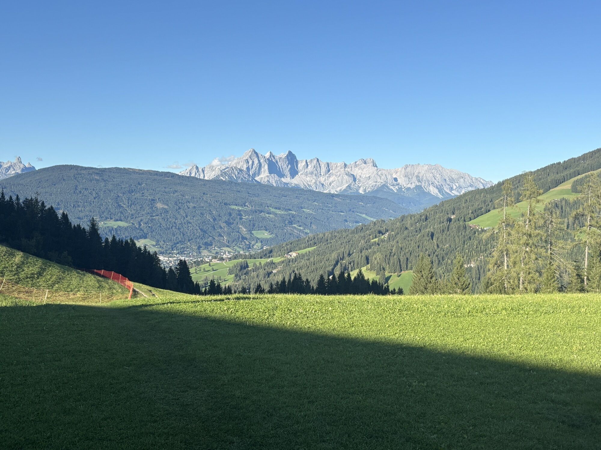

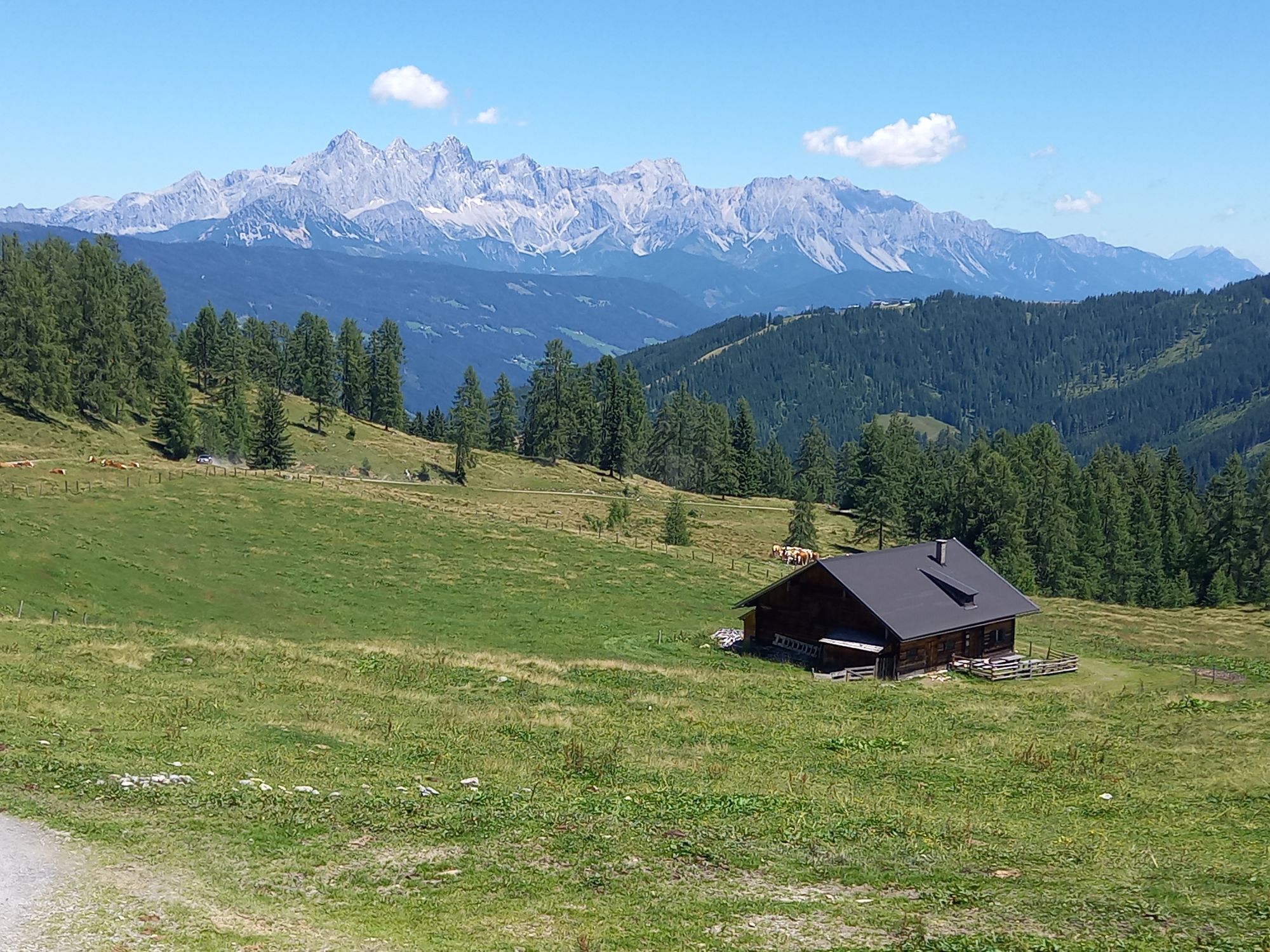
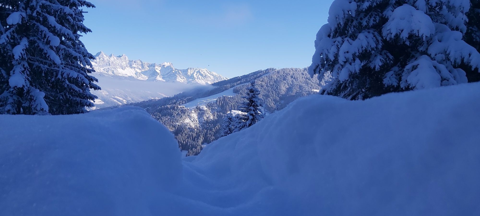
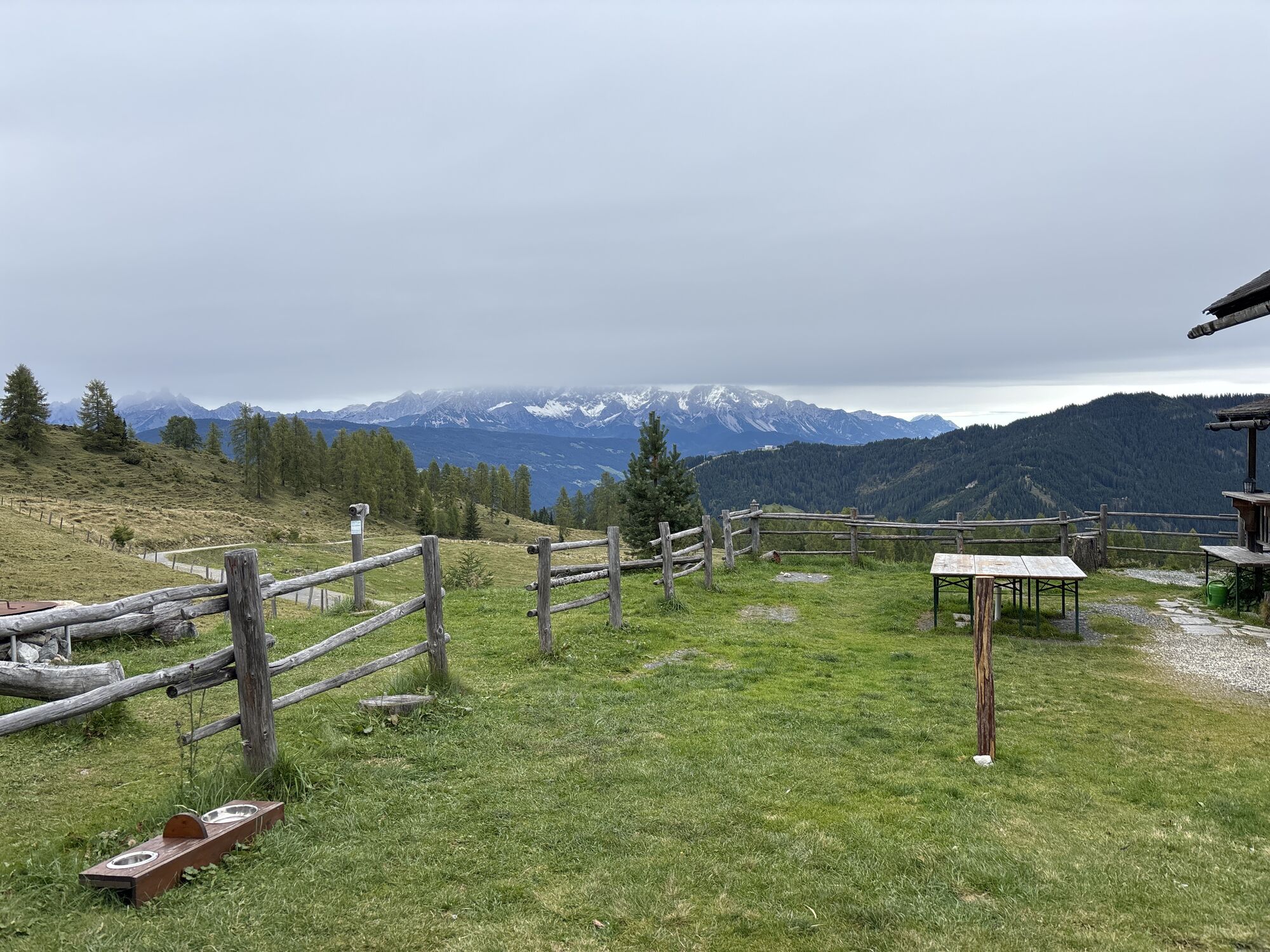
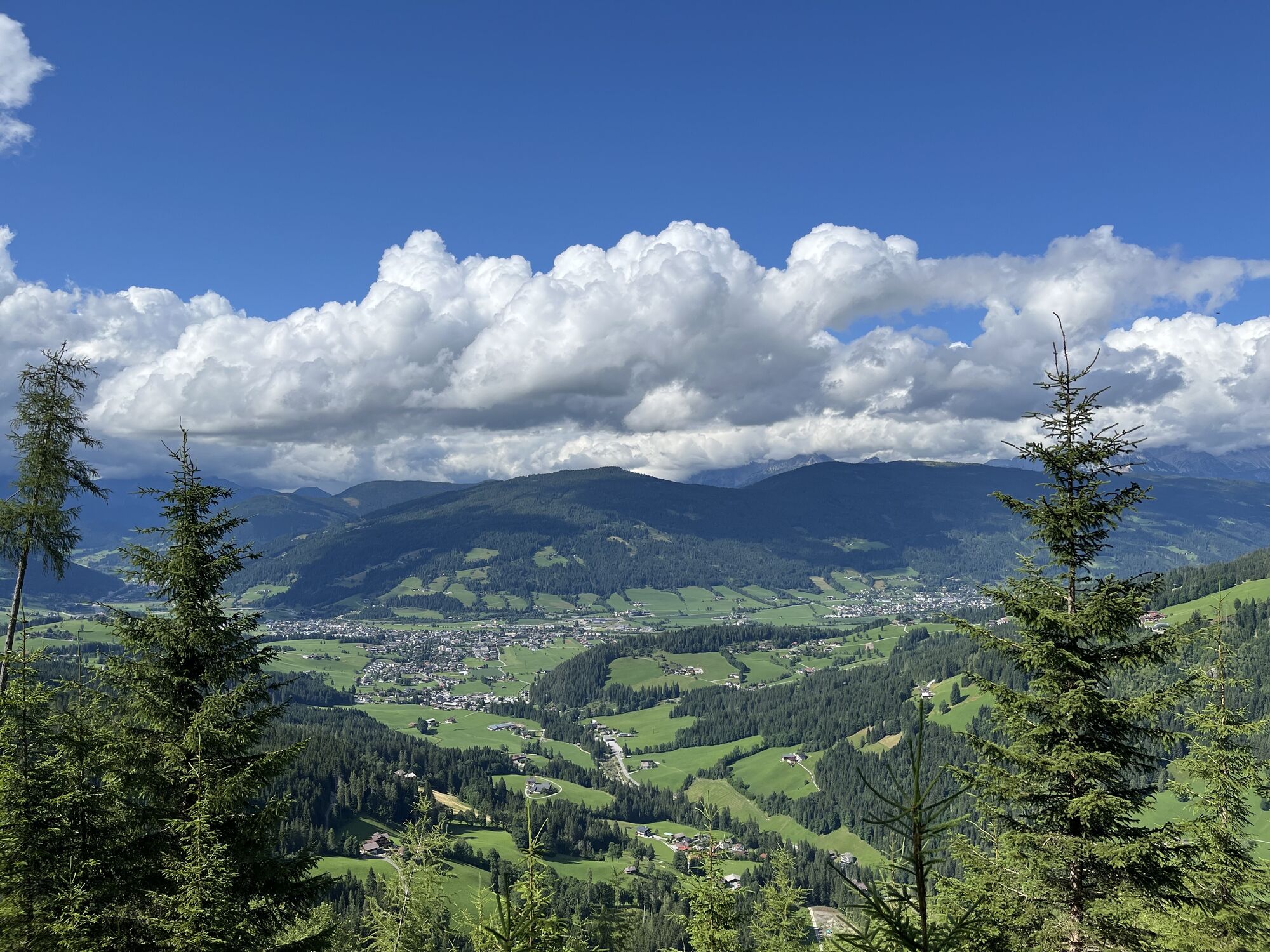
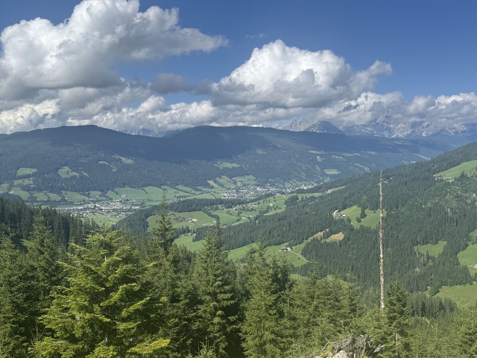
The local and very varied (e) mountain bike route "Sattelbauer-Murleiten SW31 b" is being extended. From the town center, we follow a short section of the Enns cycle path northwards following the SW31...
The local and very varied (e) mountain bike route "Sattelbauer-Murleiten SW31 b" is being extended.
From the town center, we follow a short section of the Enns cycle path northwards following the SW31 b signage, which first leads us over asphalt and then over a very quiet, natural forest path with moderate incline to the mountain inn Sattelbauer. Here awaits the first well-deserved refreshment opportunity and a magnificent view of the Dachstein massif. After a short break, we pass the barrier at Sattelbauer and continue following the SW 31 c signage over a forest road with steep ascents. The effort is rewarded with a great panorama. After a refreshment at the cozy Lackenalm, we go back the same way to Sattelbauer, from where you can choose different descent options towards Flachau (singletrail, forest or asphalt road).
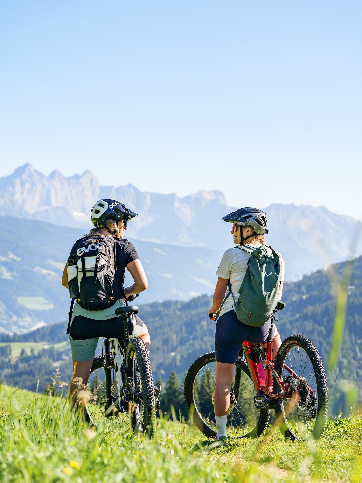

The Berggasthof Sattelbauer and the Lackenalmen alpine huts are ideal refreshment stops along the tour. Both reward the climb with regional specialities and beautiful views. Additional restaurants and cafés are available in Flachau at the start and finish of the route.
The mountain bike route map of the Salzburger Sportwelt at a scale of 1:54,000 is available free of charge at Flachau Tourism.
The basic equipment of a mountain biker includes:
Protective gear
Snacks for in between
Sunglasses, sunscreen or rain protection if necessary
Mobile phone
Check the functionality of your mountain bike before every ride and get information about the weather in advance. For your own safety, wearing a helmet is also recommended.
Parking is available in the town center of Flachau (BBF Center & Minigolf parking lot).
3/6
3/6
The Sattelbauer-Lackenalmen mountain bike route is also e-bike suitable! Charging stations are available in the town center at Flachau Tourism as well as at the mountain inn Sattelbauer.
More about mountain biking in Flachau can be found at: www.flachau.com/bikeurlaub
Information about the weather on site: www.flachau.com
Infórmate
Siempre en directo con más de 9.500 webcams. bergfex Como usuario Pro, ahora puede ver las webcams correspondientes a muchos tours en la app de tours desde. Esto le permite ver las condiciones actuales directamente.
Rutas populares en los alrededores
-
4,6
Ruta de esquí Lackenkogel
medioEsquí de travesía 7,82 km -
4,8
Obertauern a la cascada Johannes
medioSenderismo 9,39 km -
4,1
Reiteralm Höhen-Rundweg
medioSenderismo 5,79 km -
4,2
Großarl: Unterwandalm - Karseggalm - Breitenebenalm
medioSenderismo 5,93 km -
4,3
Ruta de esquí Rote 8er Wagrain
medioEsquí de travesía 4,12 km -
5,0
Strimskogel-Runde
Senderismo 13 km -
3,6
Juego de cumbres de Salzburgo: hacia Gerzkopf y los Lagos Negros
medioSenderismo 8,39 km -
5,0
Forstau - Rippetegg / Reiteralm
medioSenderismo 13,9 km -
4,3
Glöcknerin
pesadoSenderismo 5,60 km -
4,2
Ennskraxn (2410m)
pesadoSenderismo 14,7 km
Senderismo y rastreo


No se pierda las ofertas y la inspiración para sus próximas vacaciones
Su dirección de correo electrónico se ha añadido a la lista de correo.





