




Königslehen Circuit (SW21)
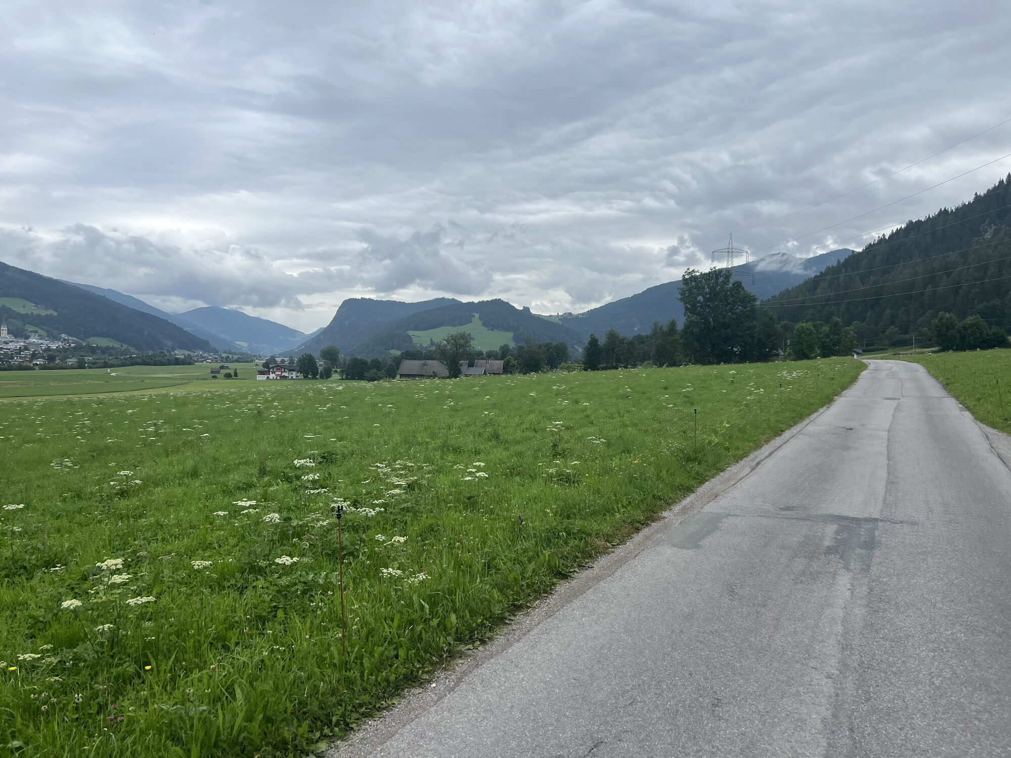
The Königslehen circuit has all the features that a varied cycle tour should offer. At the start, we take the leisurely, flat route along the edge of the forest and across the beautiful rural meadows and...
The Königslehen circuit has all the features that a varied cycle tour should offer. At the start, we take the leisurely, flat route along the edge of the forest and across the beautiful rural meadows and fields between Altenmarkt and Radstadt.
A worthwhile break is offered at the Berggasthof Bliembauer, where you can enjoy a marvellous view and regional delicacies on the sun terrace.
Key data of the tour:
Length: approx. 19 km Elevation gain: approx. 490 m Difficulty: medium
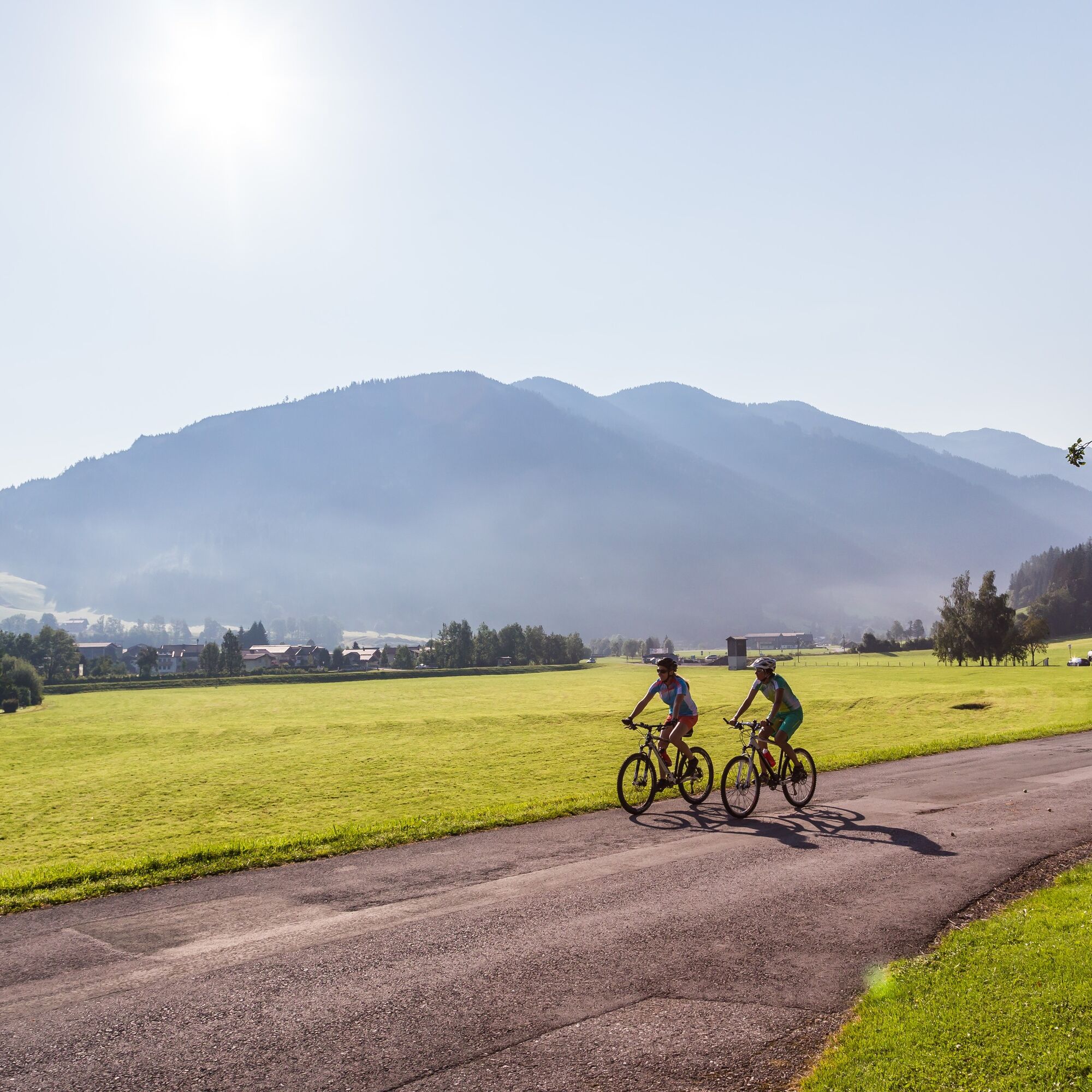

mountainbike, helmet
25% gravel, 75% asphalt road
Tauernautobahn A 10, Ausfahrt Altenmarkt (EXIT 63), Ausfahrt Altenmarkt West, entlang der Oberndorfer Straße, bei Kreuzung (BP Tankstelle) links weiter auf der Bundesstraße (B 163), nach 250 m rechts abbiegen zum Parkplatz gegenüber dem Tourismusverband Altenmarkt-Zauchensee
Mit dem Guest Mobility Ticket kannst du ab deiner Ankunft im SalzburgerLand alle öffentlichen Verkehrsmittel kostenlos nutzen.
Parkplatz gegenüber vom Tourismusverband Altenmarkt-Zauchensee
Sportplatzstraße 6
A-5541 Altenmarkt-Zauchensee
Tel: +43 6452 5511
E-Mail: info@altenmarkt-zauchensee.at
www.altenmarkt-zauchensee.at
www.facebook.com/altenmarkt-zauchensee
www.instagram.com/visitaltenmarktzauchensee
Infórmate
Siempre en directo con más de 9.500 webcams. bergfex Como usuario Pro, ahora puede ver las webcams correspondientes a muchos tours en la app de tours desde. Esto le permite ver las condiciones actuales directamente.
Rutas populares en los alrededores
-
4,4
Ramsau am Dachstein: Steinerne Jungfrauen
Senderismo 8,11 km -
4,3
Filzmoos: Rötelstein (Rettenstein)
Senderismo 9,50 km -
4,9
Rundwanderweg von der Fallhausalm und Vögeialm übers Klamml zur Oberhütte am See
medioSenderismo 10 km -
4,8
Alrededor del Gosaukamm
medioSenderismo 20,9 km -
4,8
4-Jahreszeiten Wanderweg
medioSenderismo de invierno 5,94 km -
4,7
Tor-Wanderung
pesadoSenderismo 14,2 km -
4,6
Ruta de esquí Lackenkogel
medioEsquí de travesía 7,82 km -
4,8
Obertauern a la cascada Johannes
medioSenderismo 9,39 km -
4,6
Rittispanoramaweg
luzSenderismo 5,30 km -
4,7
Reiteralmrunde
luzSenderismo 5,71 km
Senderismo y rastreo


No se pierda las ofertas y la inspiración para sus próximas vacaciones
Su dirección de correo electrónico se ha añadido a la lista de correo.





