






Königstour Bike BIG full tour
Fotos de nuestros usuarios
-
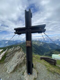
 © Jakob KCreado el 04.07.2025
 -
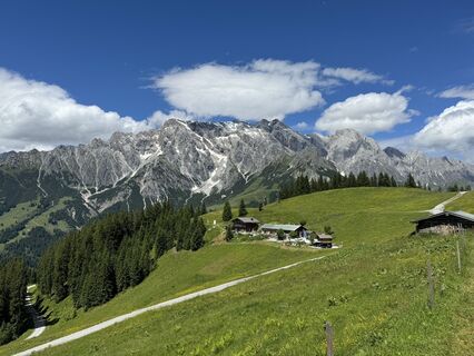
 © feinschmeckerontourCreado el 04.07.2024
 -
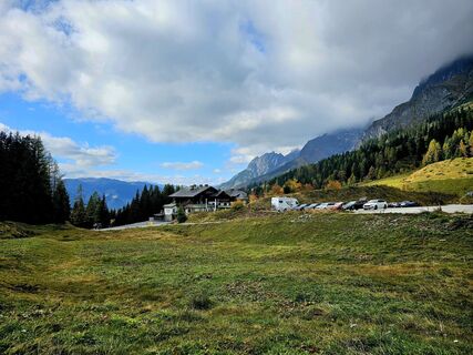
 © Michael M.Creado el 18.10.2025
 -
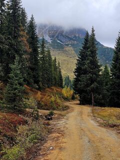 © Michael M.Creado el 18.10.2025
 -
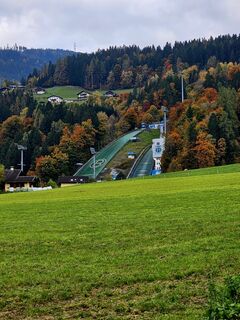 © Michael M.Creado el 18.10.2025
 -
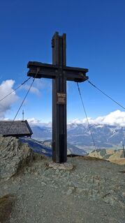
 © Thomas GerstmayrCreado el 15.10.2025
 -
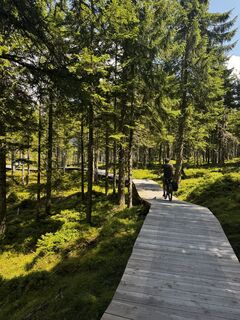
 © wilmaCreado el 07.08.2025
 -
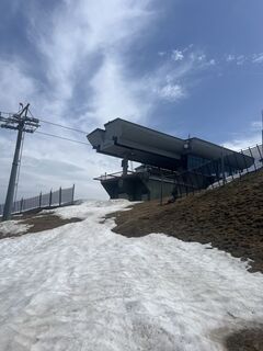
 © Zoran DujakovicCreado el 03.05.2025
 -
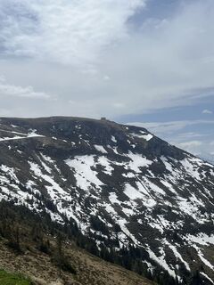 © Zoran DujakovicCreado el 03.05.2025
 -
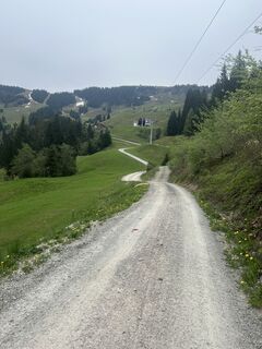 © Zoran DujakovicCreado el 03.05.2025
 -
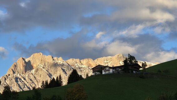
 © WolferlCreado el 26.09.2024
 -
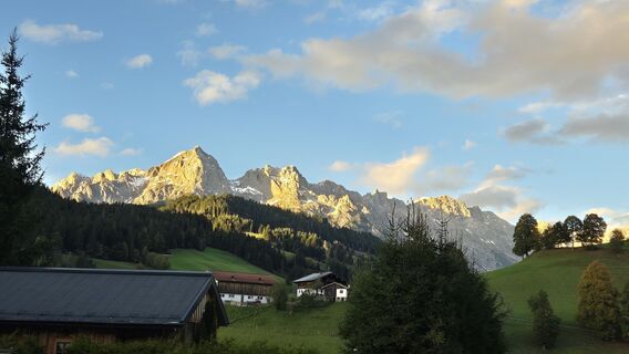 © WolferlCreado el 26.09.2024
 -
 © WolferlCreado el 26.09.2024
 -
 © Christian LeidenfrostCreado el 20.08.2024
 -
 © Christian LeidenfrostCreado el 20.08.2024
 -
 © WolferlCreado el 15.08.2024
 -
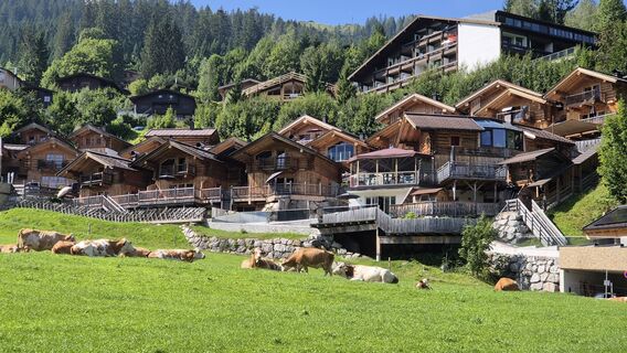 © WolferlCreado el 15.08.2024
 -
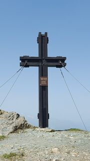
 © mountaingirlCreado el 19.06.2024
 -
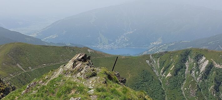 © mountaingirlCreado el 19.06.2024
 -
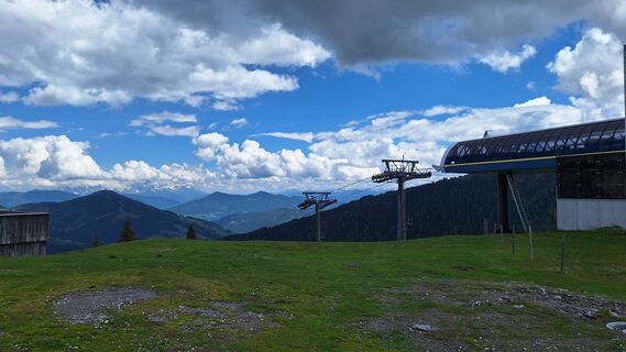
 © Matej Mikus 1Creado el 05.06.2024
 -
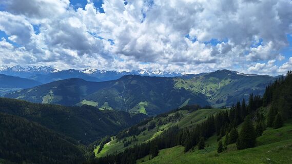 © Matej Mikus 1Creado el 05.06.2024
 -
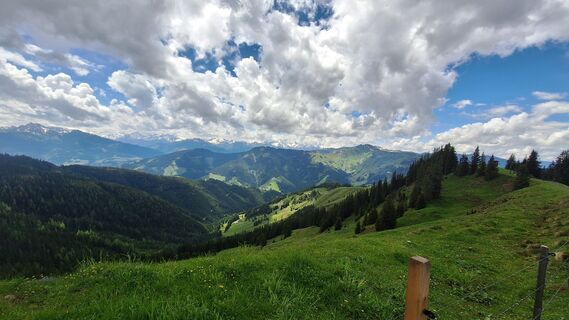 © Matej Mikus 1Creado el 05.06.2024
 -
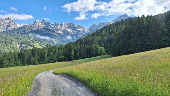 © Matej Mikus 1Creado el 05.06.2024
 -
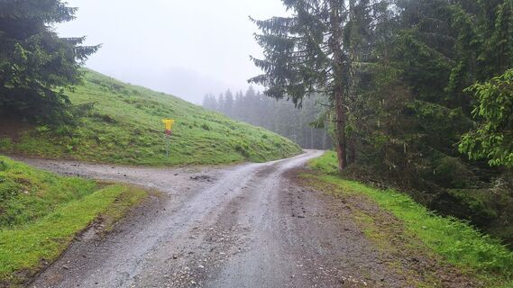 © Matej Mikus 1Creado el 01.06.2024
 -
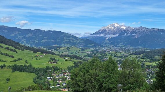 © Matej Mikus 1Creado el 29.05.2024
 -
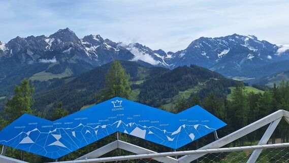 © Matej Mikus 1Creado el 29.05.2024
 -
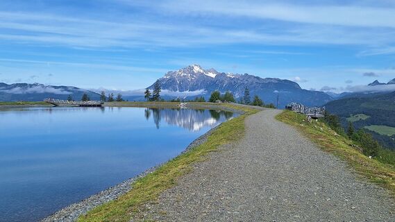 © Matej Mikus 1Creado el 29.05.2024
 -
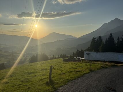
 © Emile CoumansCreado el 09.08.2025
 -
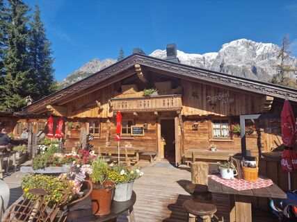
 © RitschCreado el 12.10.2024
 -
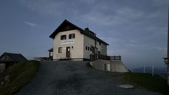
 © Henrik SingelmannCreado el 05.09.2024
 -
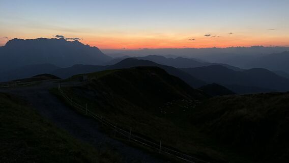 © Henrik SingelmannCreado el 05.09.2024
 -
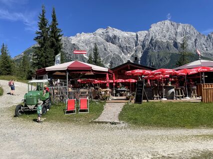
 © Ranger SvenCreado el 30.07.2024
 -
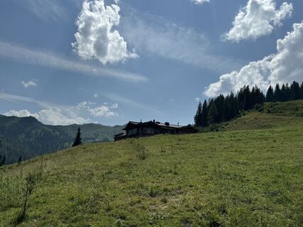 © feinschmeckerontourCreado el 10.07.2024
 -
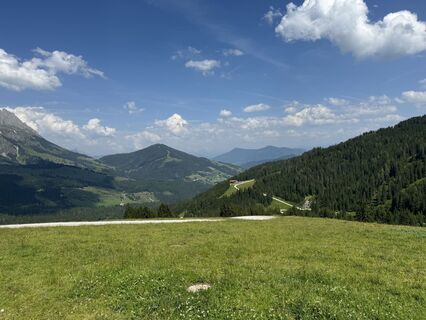 © feinschmeckerontourCreado el 10.07.2024
 -
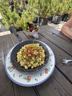 © feinschmeckerontourCreado el 10.07.2024
 -
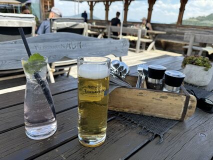 © feinschmeckerontourCreado el 10.07.2024
 -
 © feinschmeckerontourCreado el 10.07.2024
 -
 © feinschmeckerontourCreado el 10.07.2024
 -
 © feinschmeckerontourCreado el 10.07.2024
 -
 © feinschmeckerontourCreado el 04.07.2024
 -
 © feinschmeckerontourCreado el 04.07.2024
 -
 © feinschmeckerontourCreado el 04.07.2024
 -
 © feinschmeckerontourCreado el 04.07.2024
 -
 © feinschmeckerontourCreado el 04.07.2024
 -
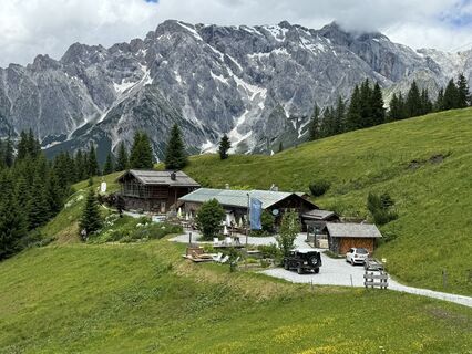 © feinschmeckerontourCreado el 04.07.2024
 -
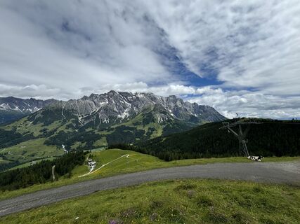 © feinschmeckerontourCreado el 04.07.2024
 -
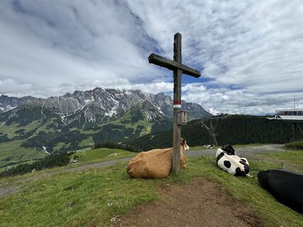 © feinschmeckerontourCreado el 04.07.2024
 -
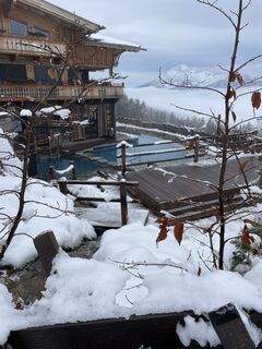
 © Frank FuchsCreado el 12.01.2023
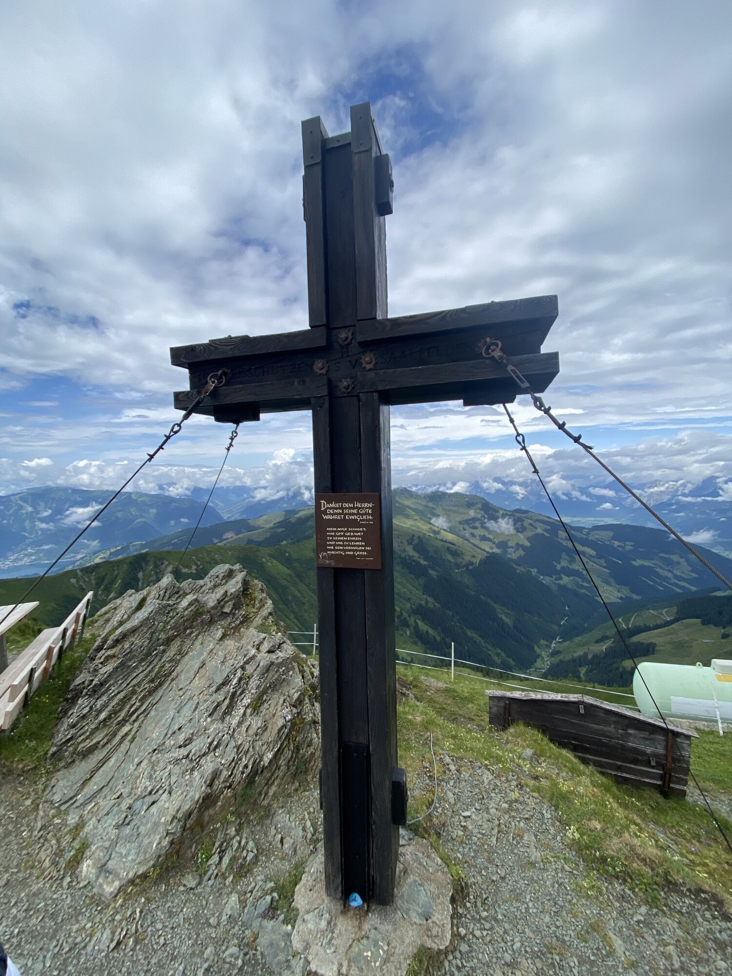
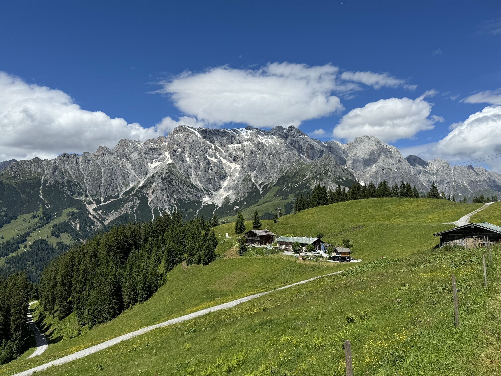
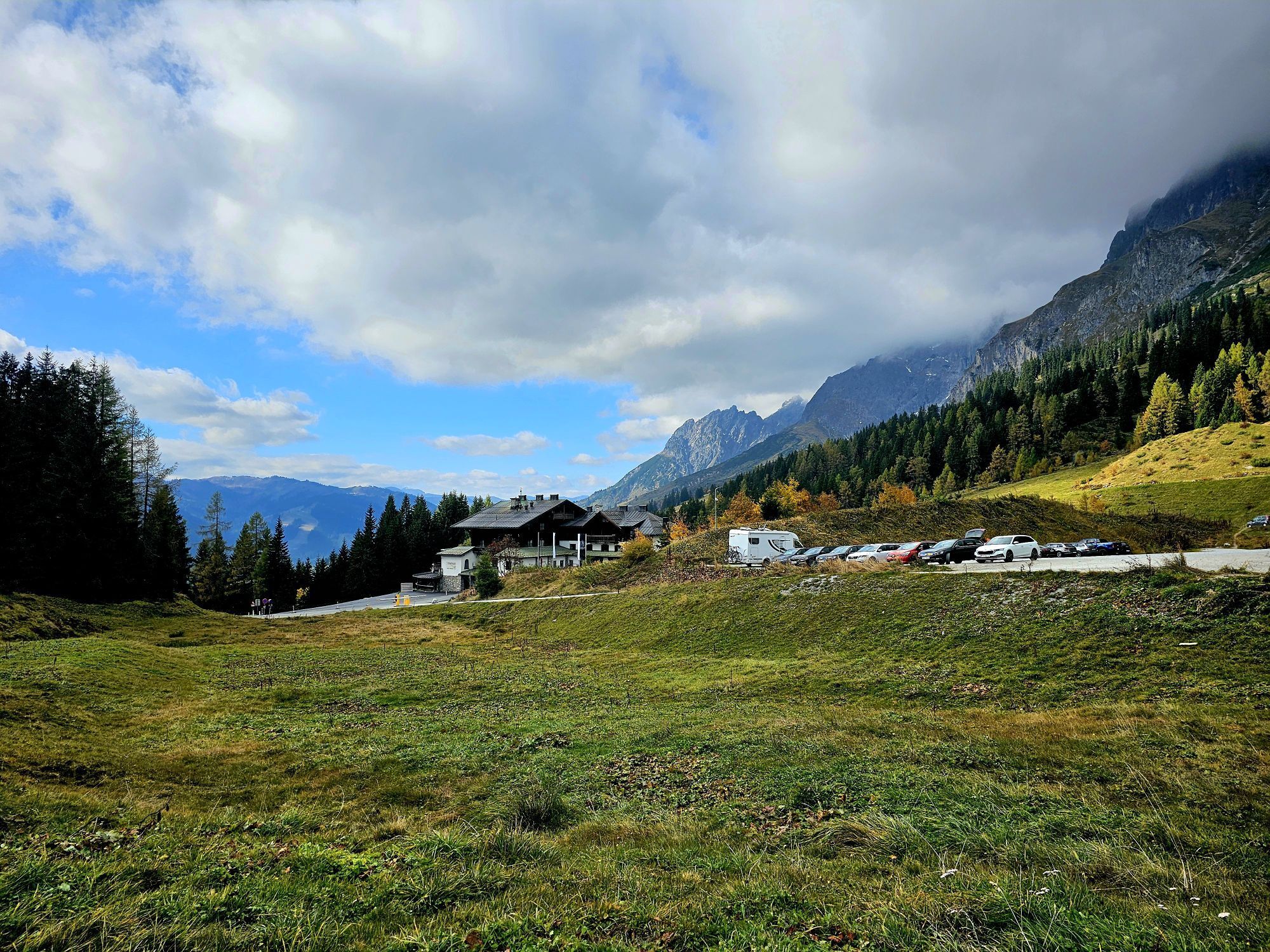
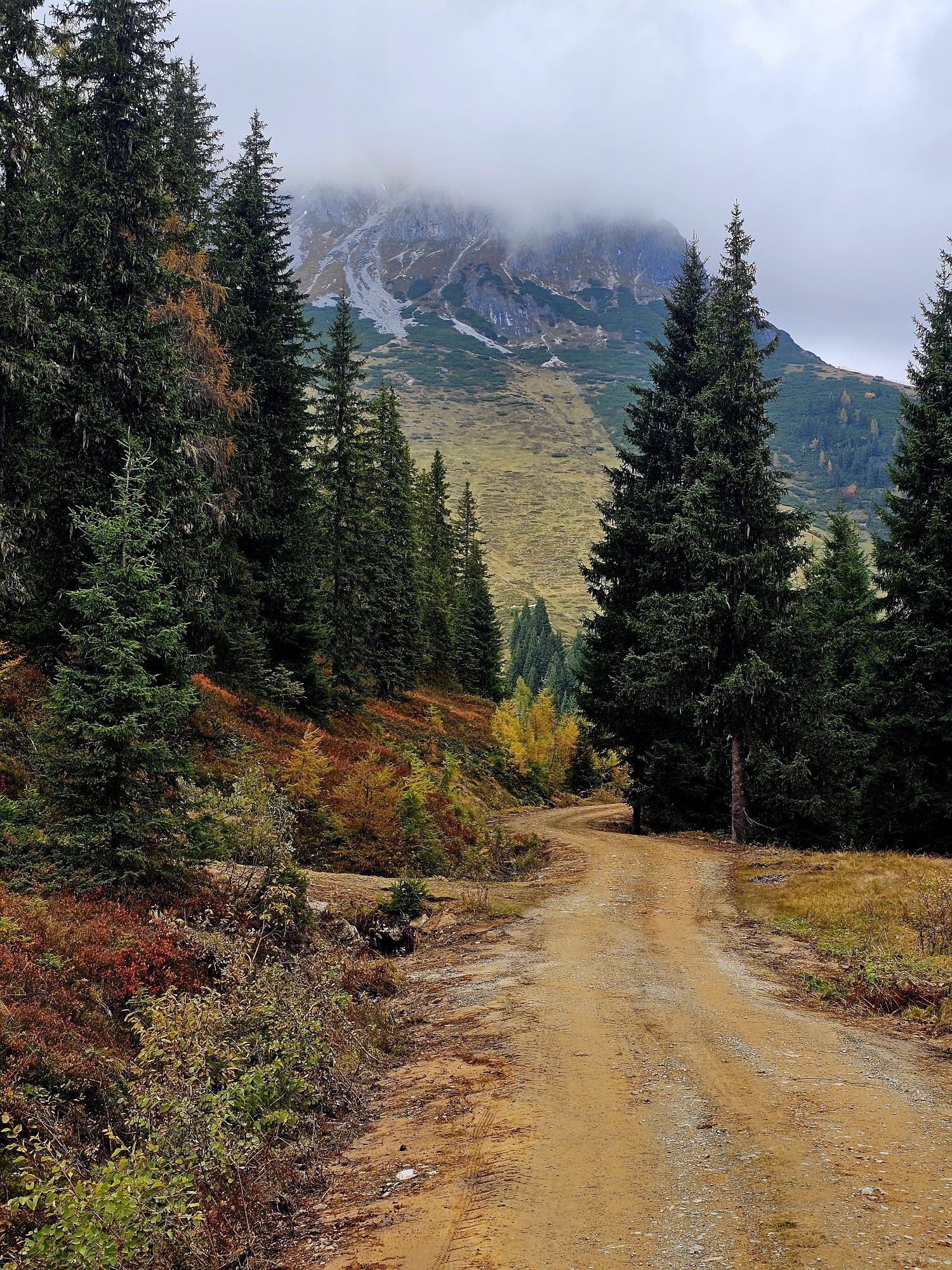
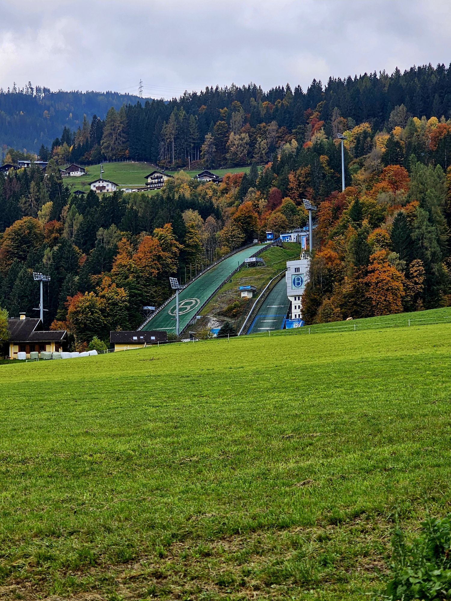
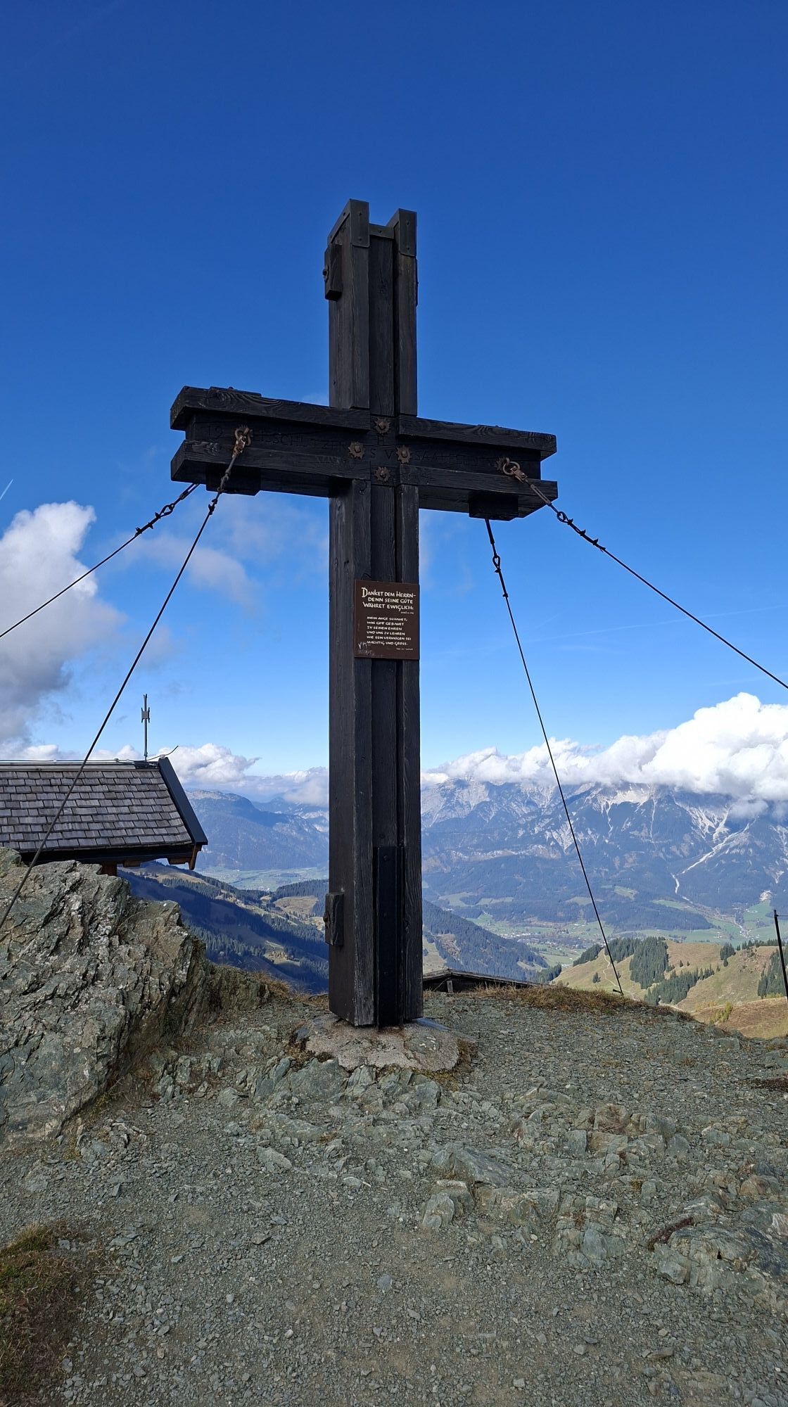
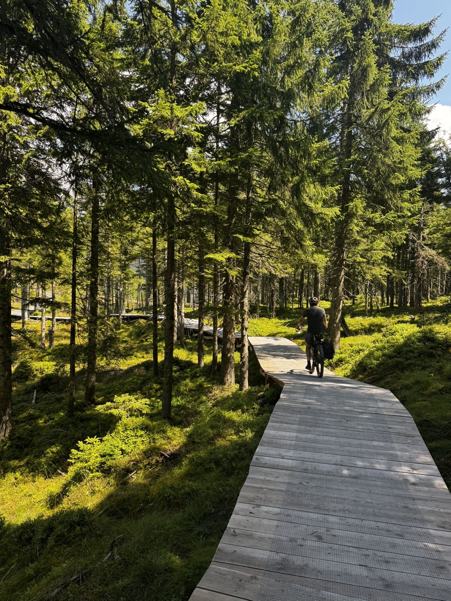
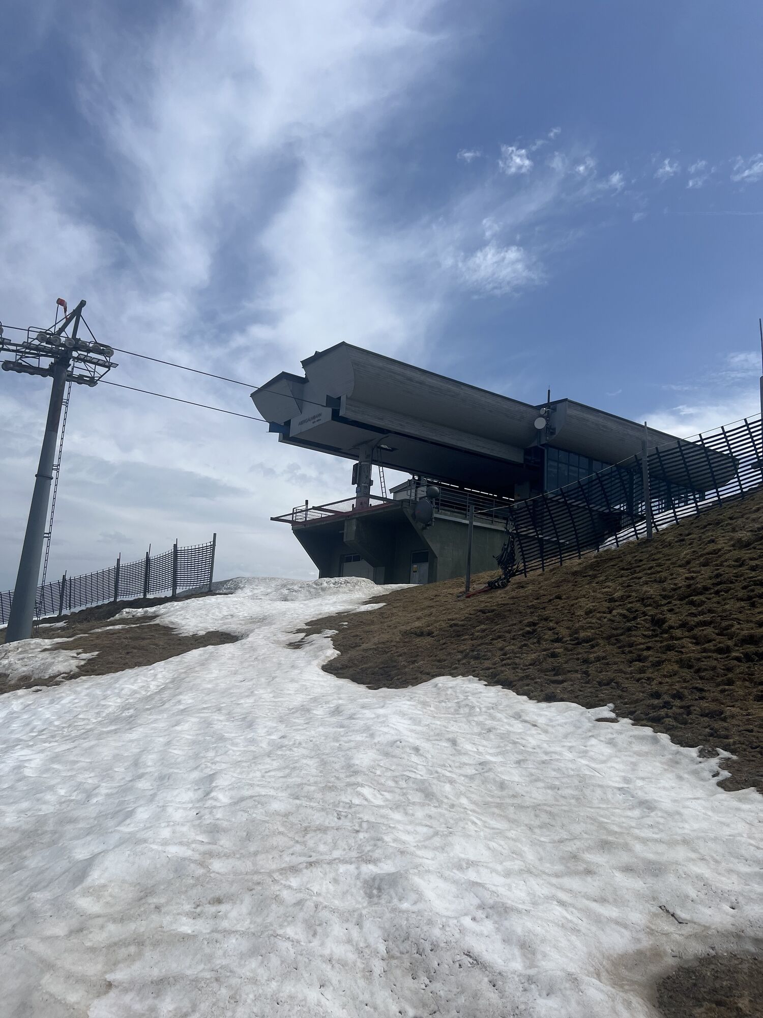
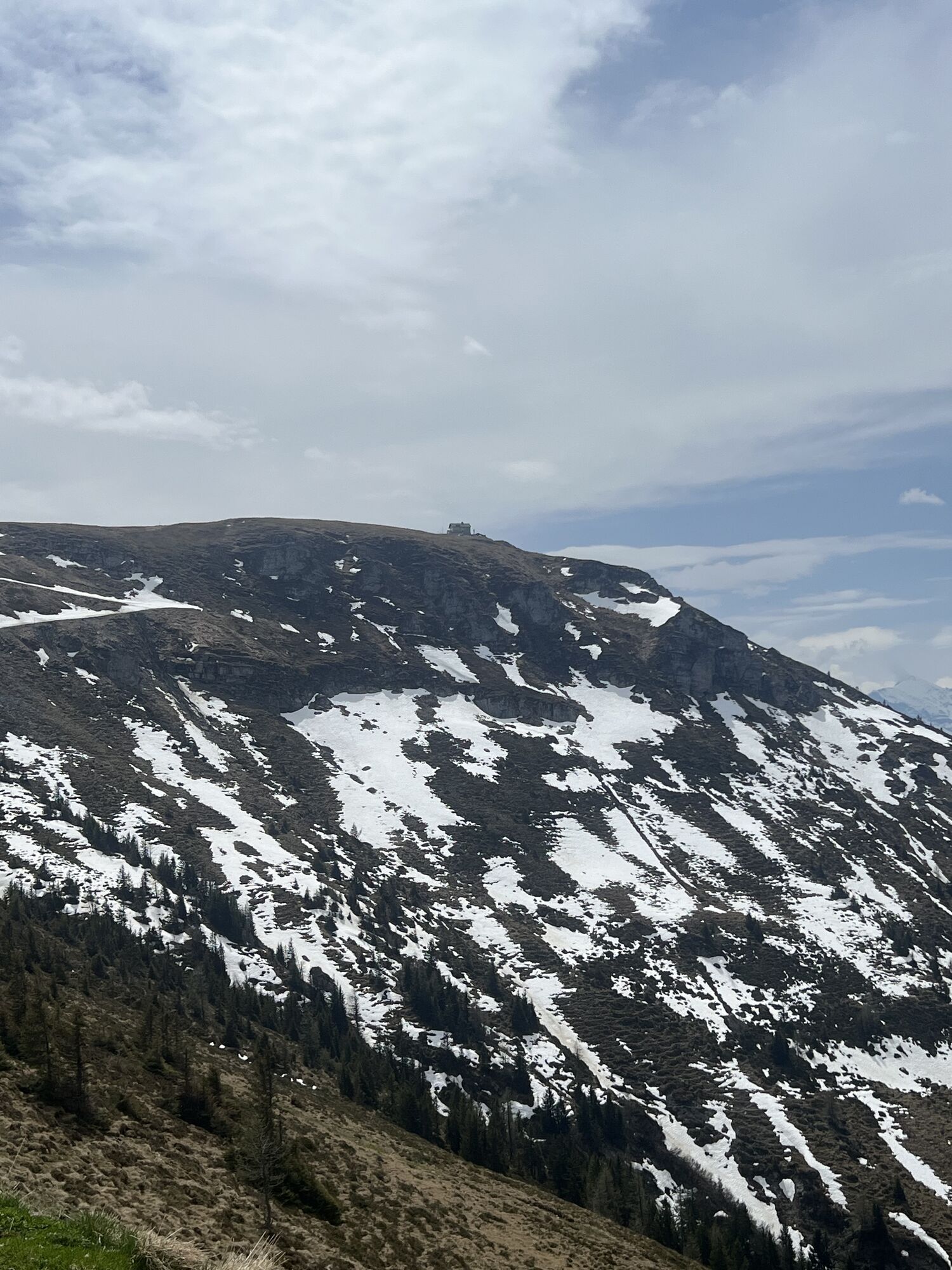
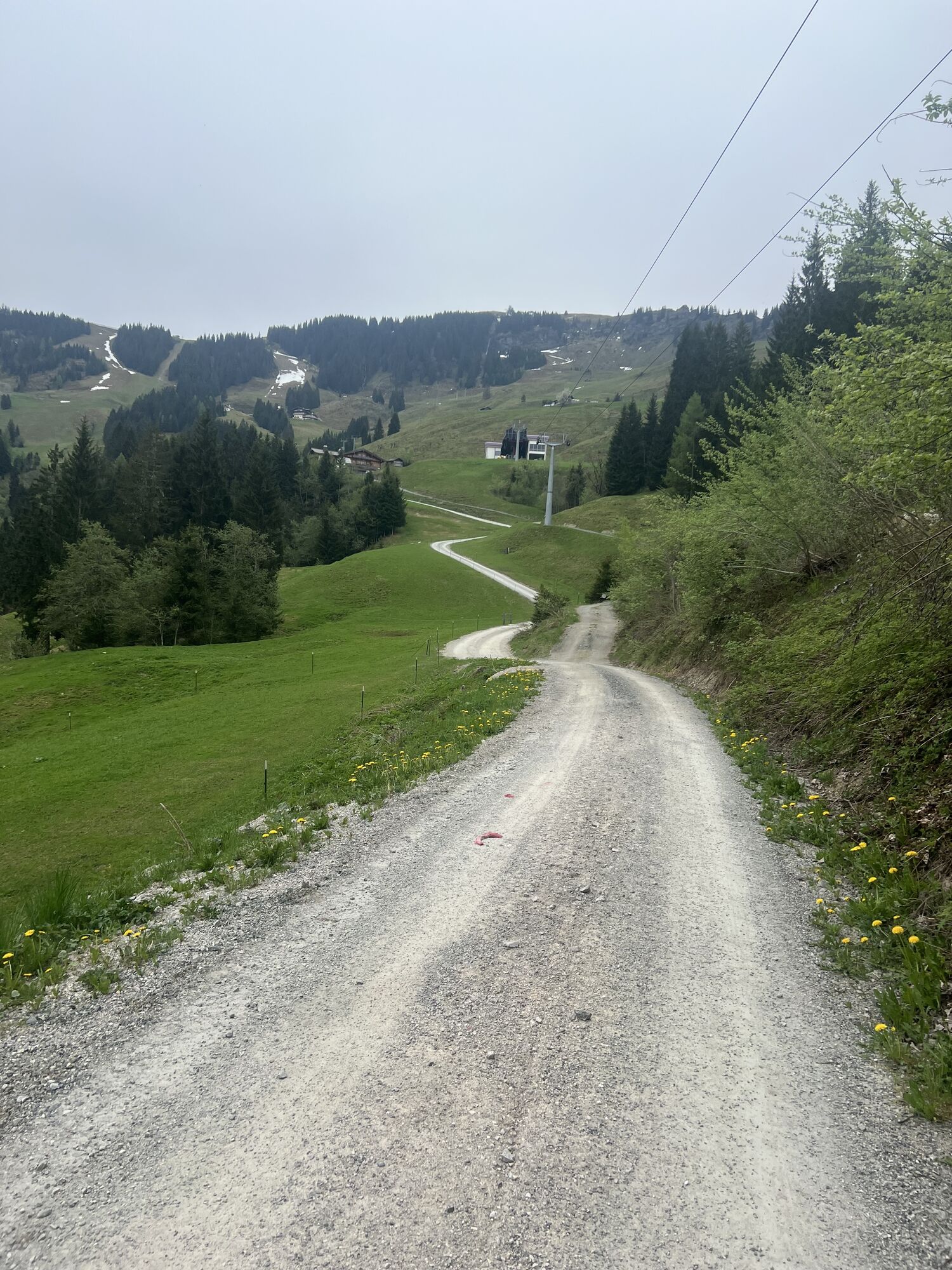
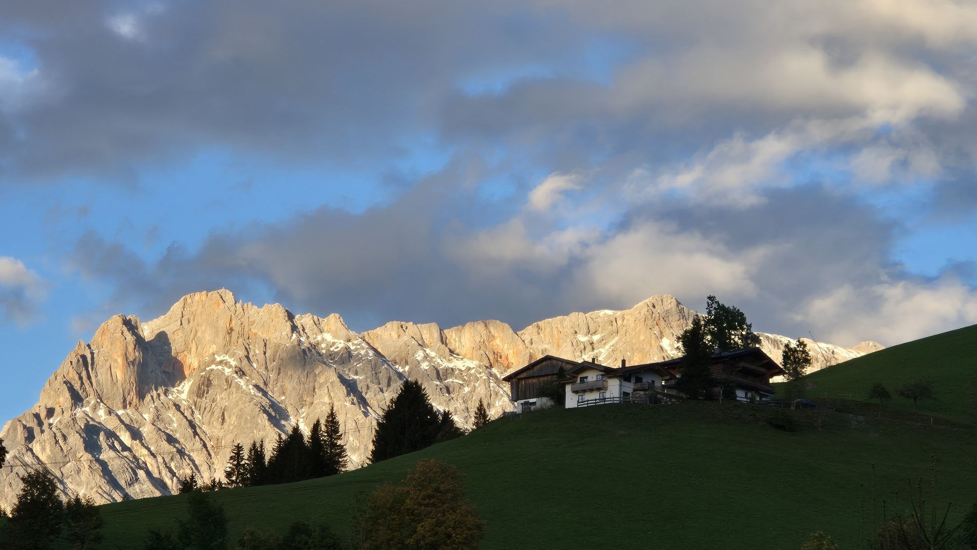
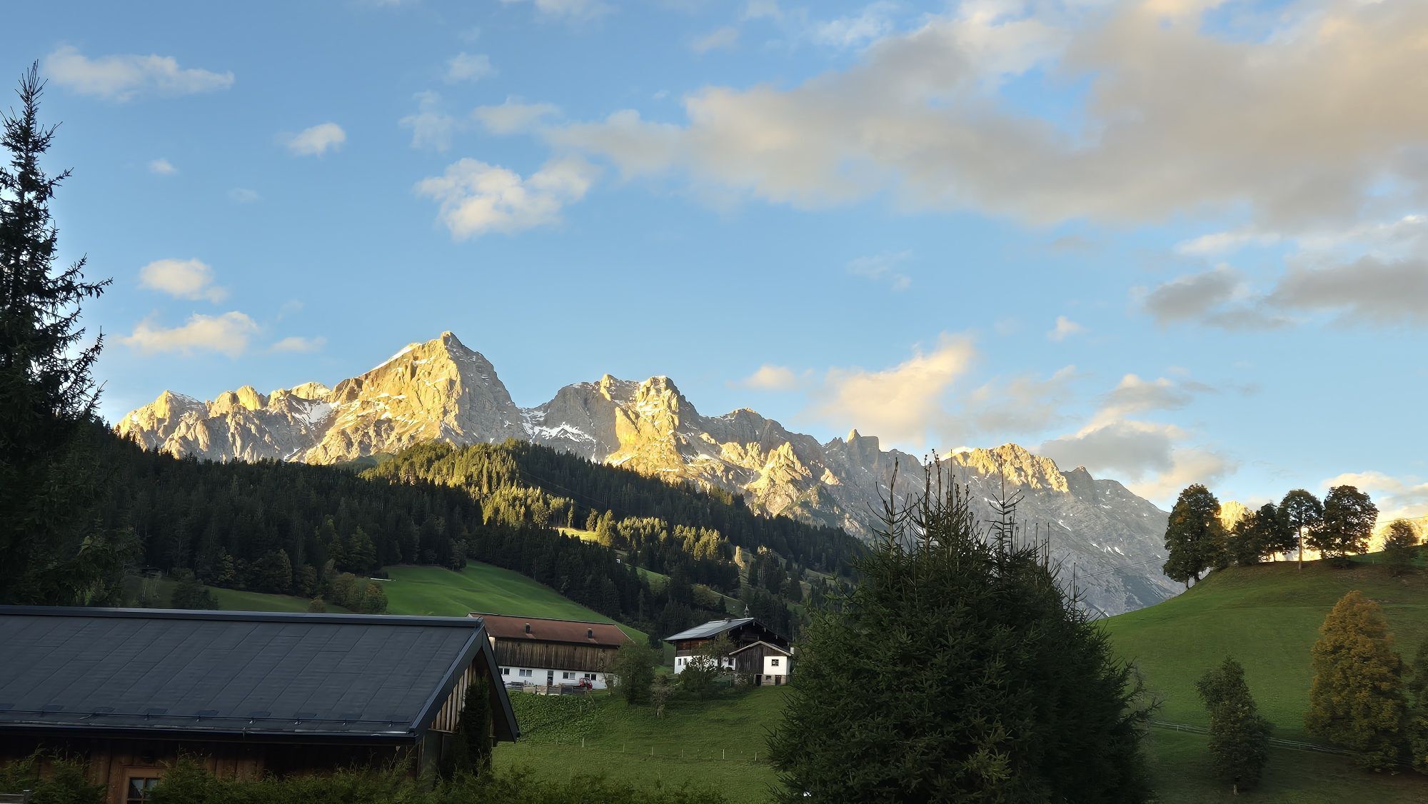

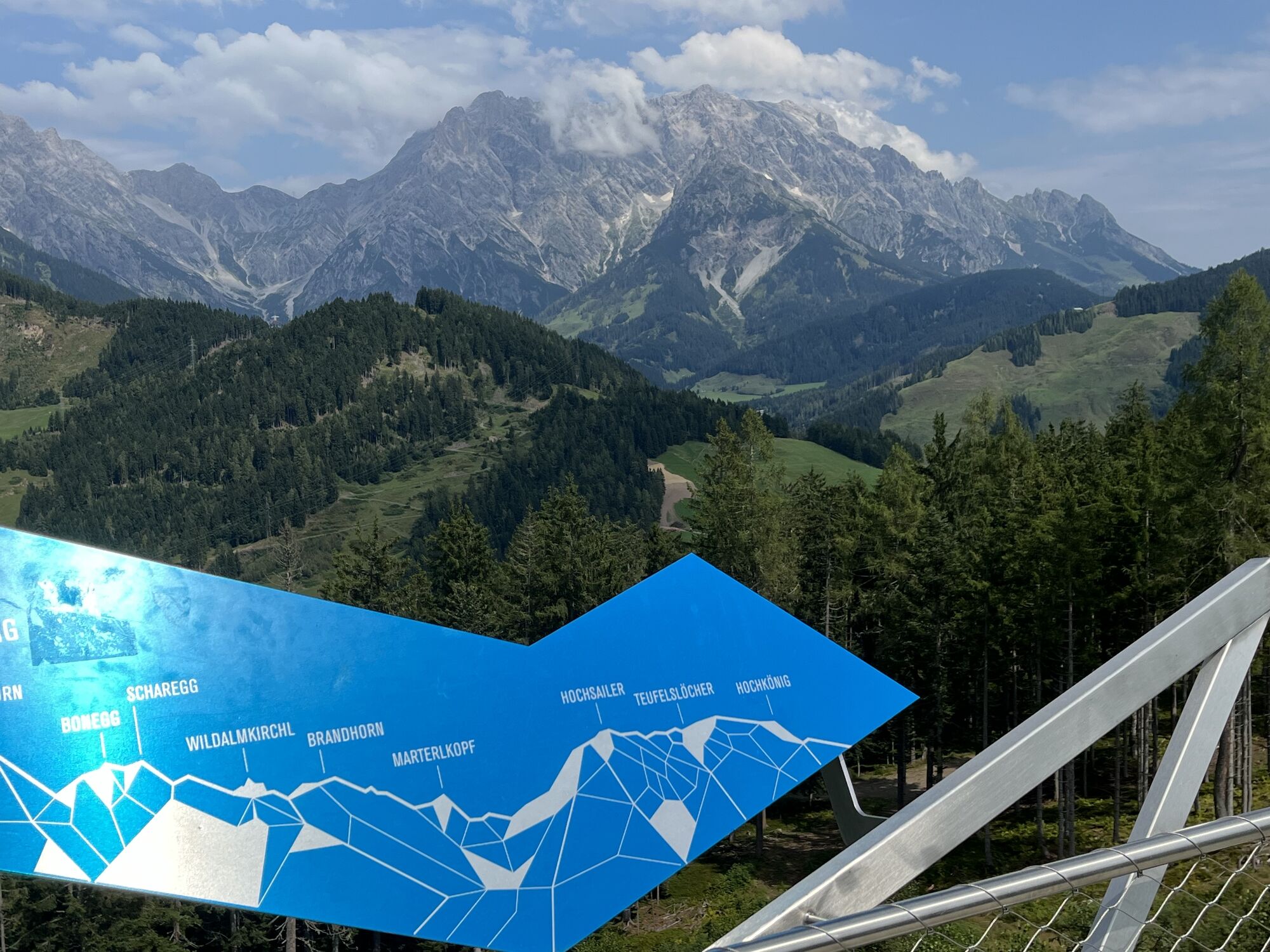
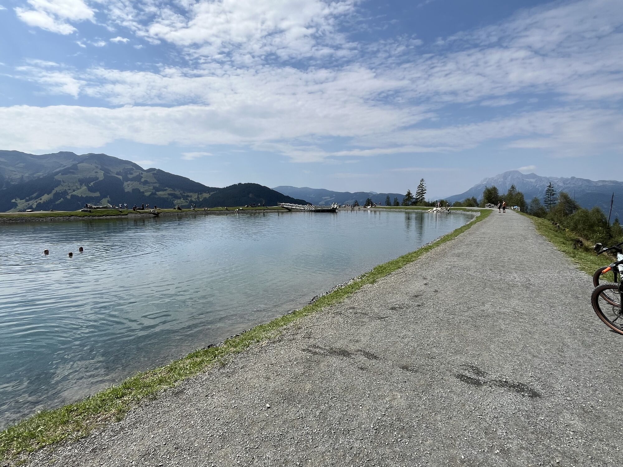
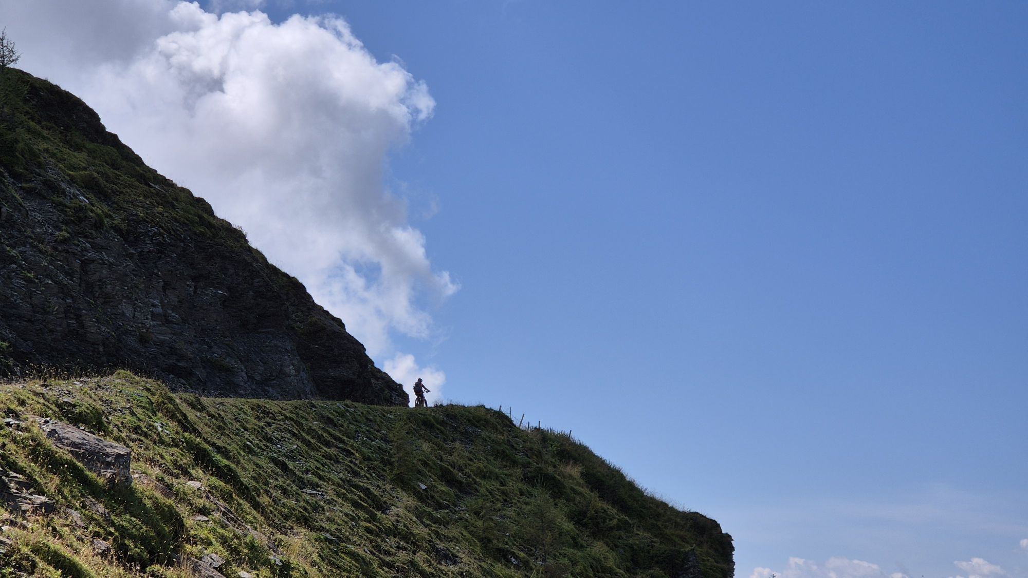
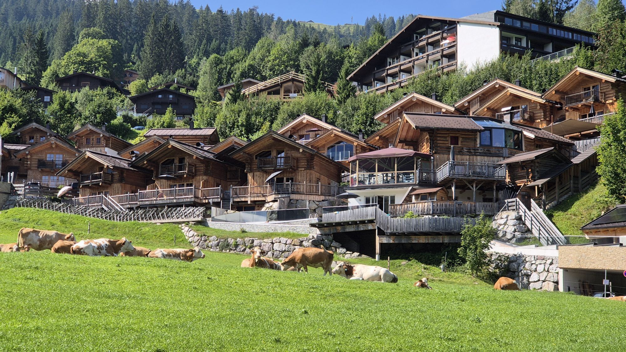
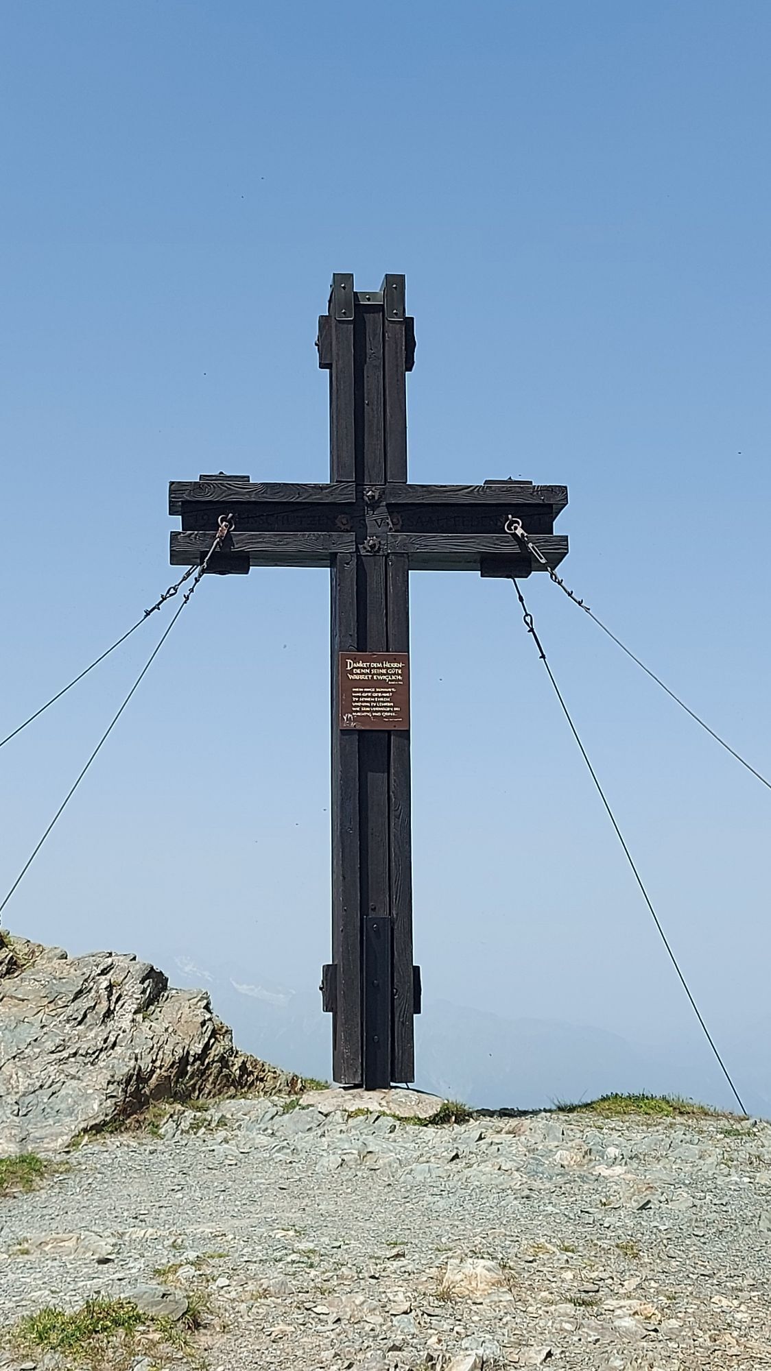
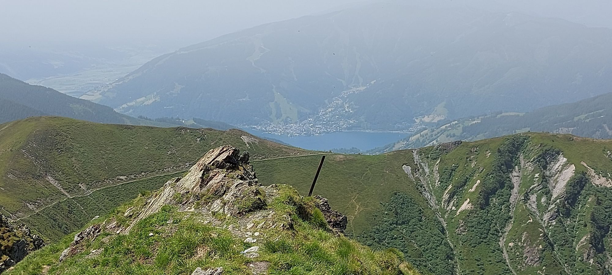
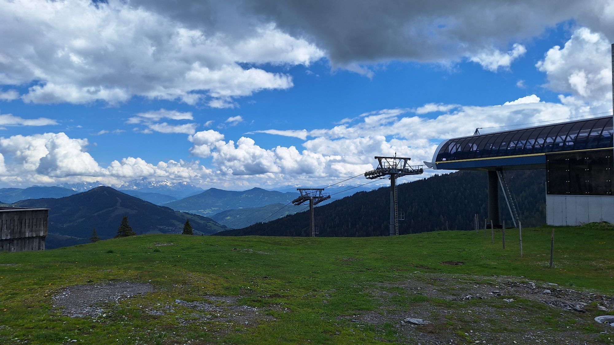
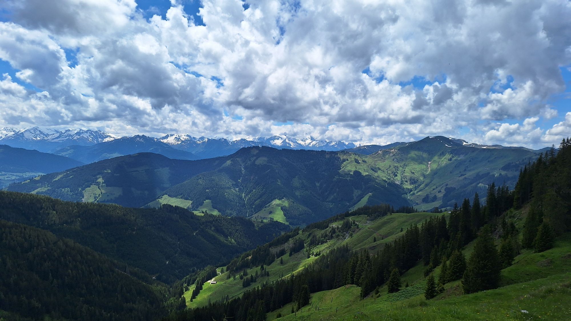
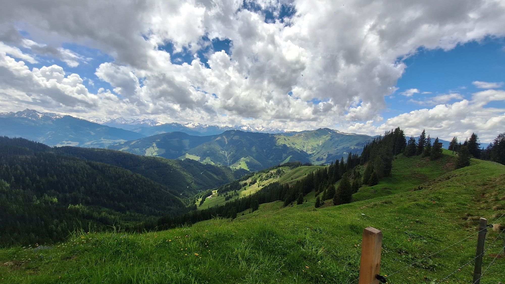
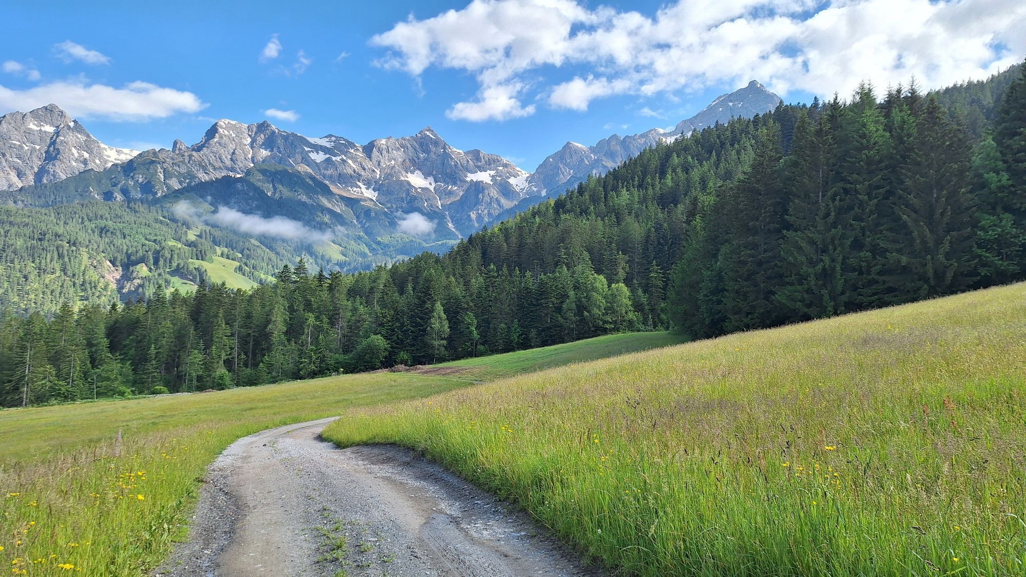
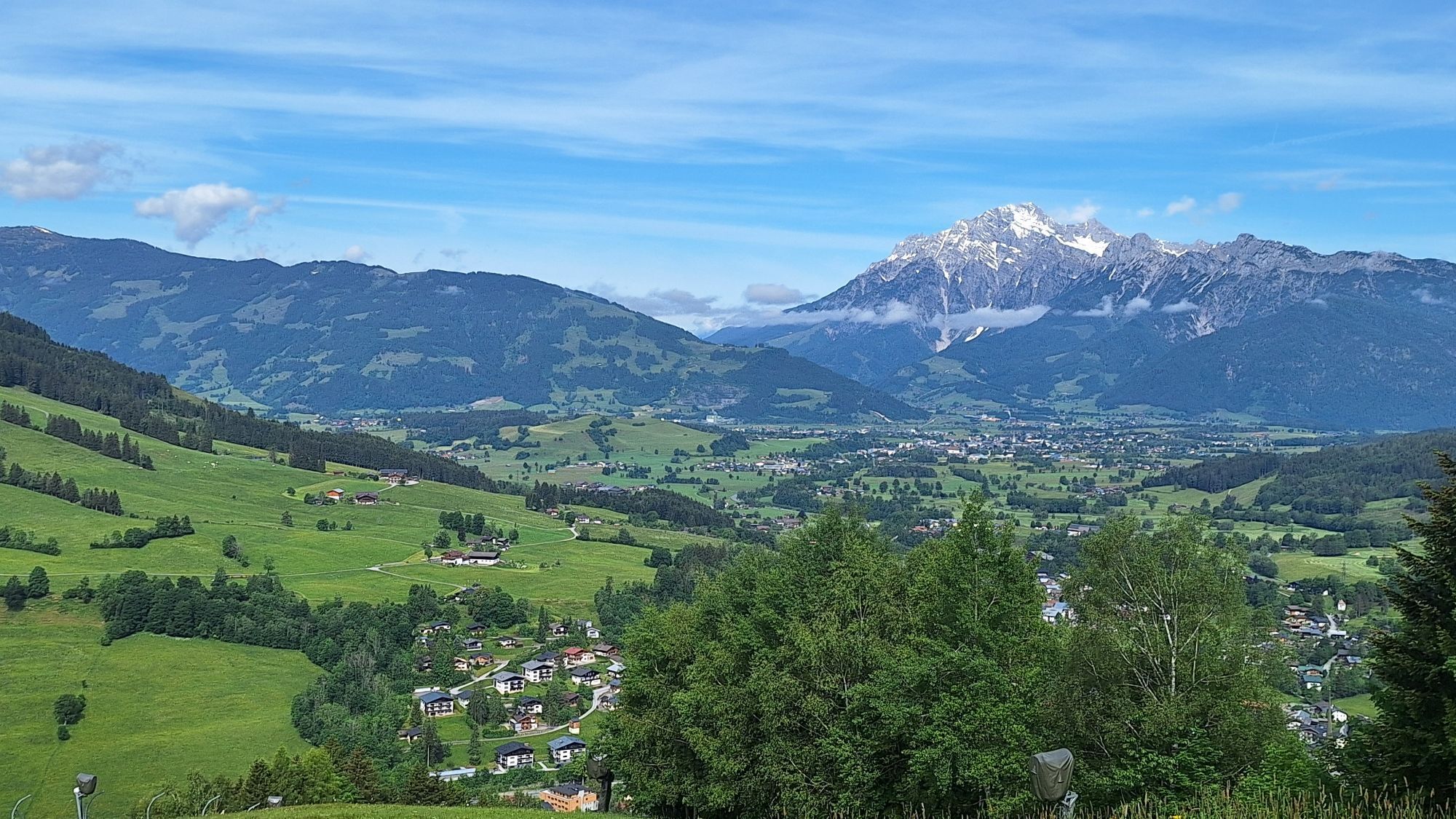
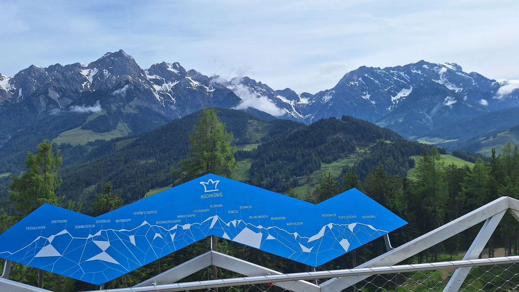
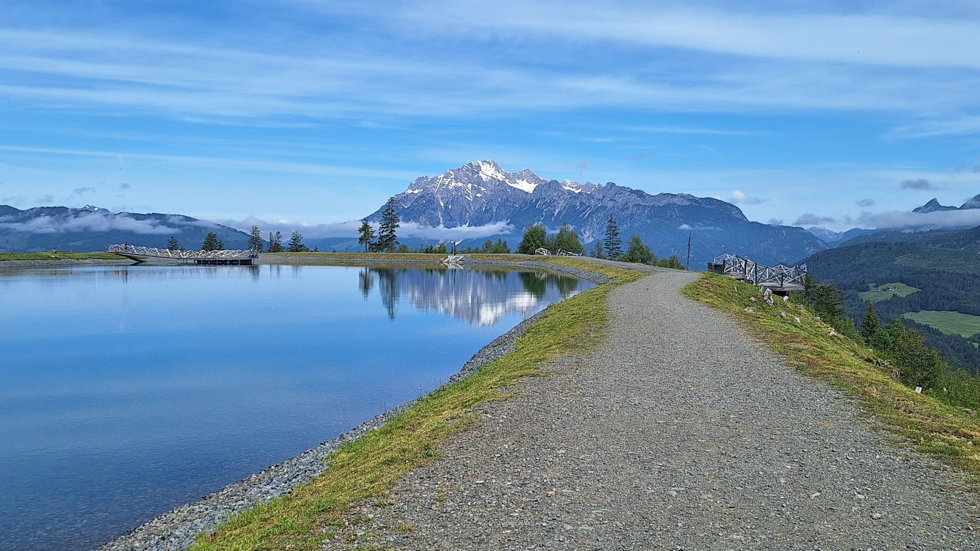
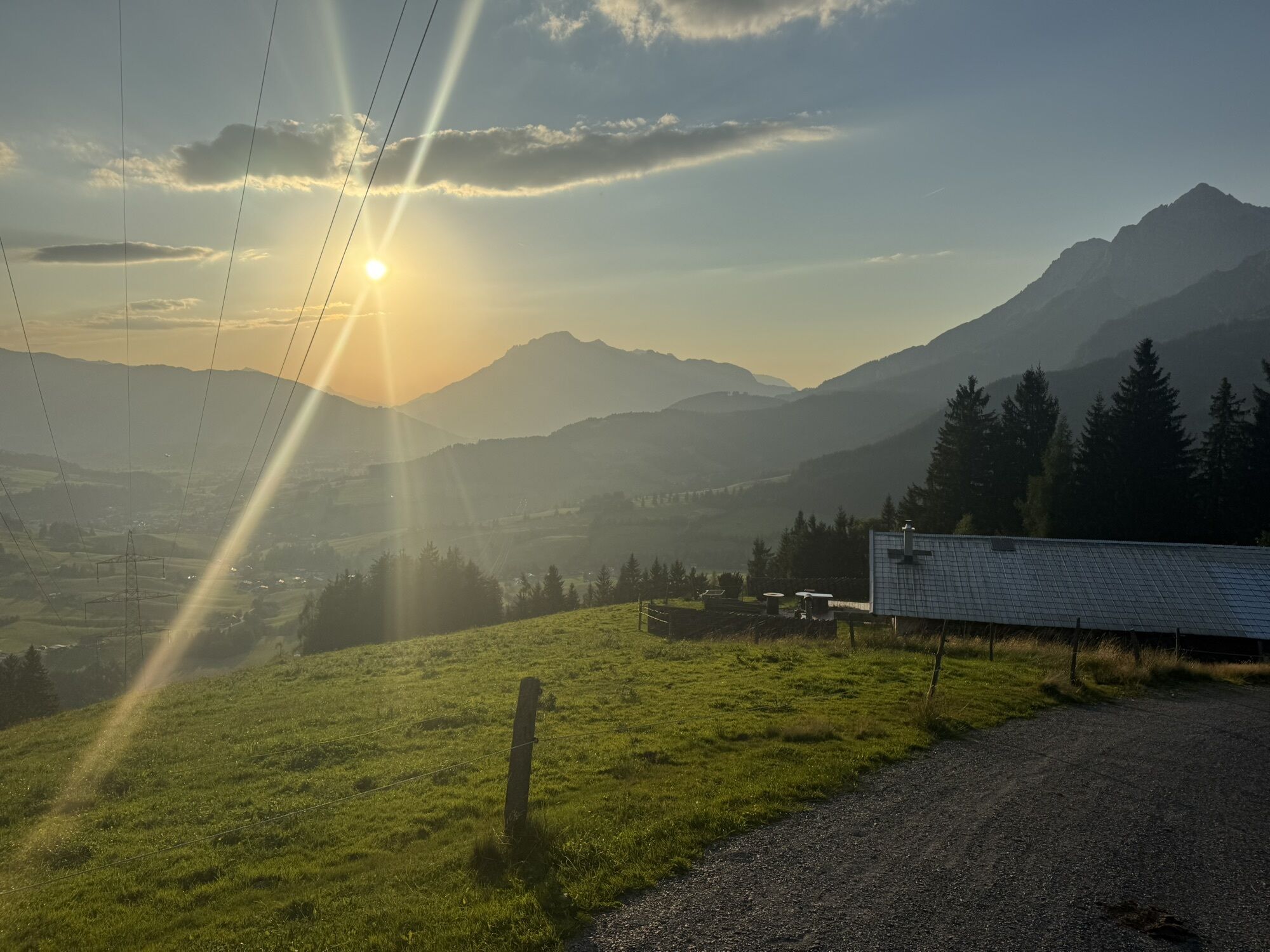
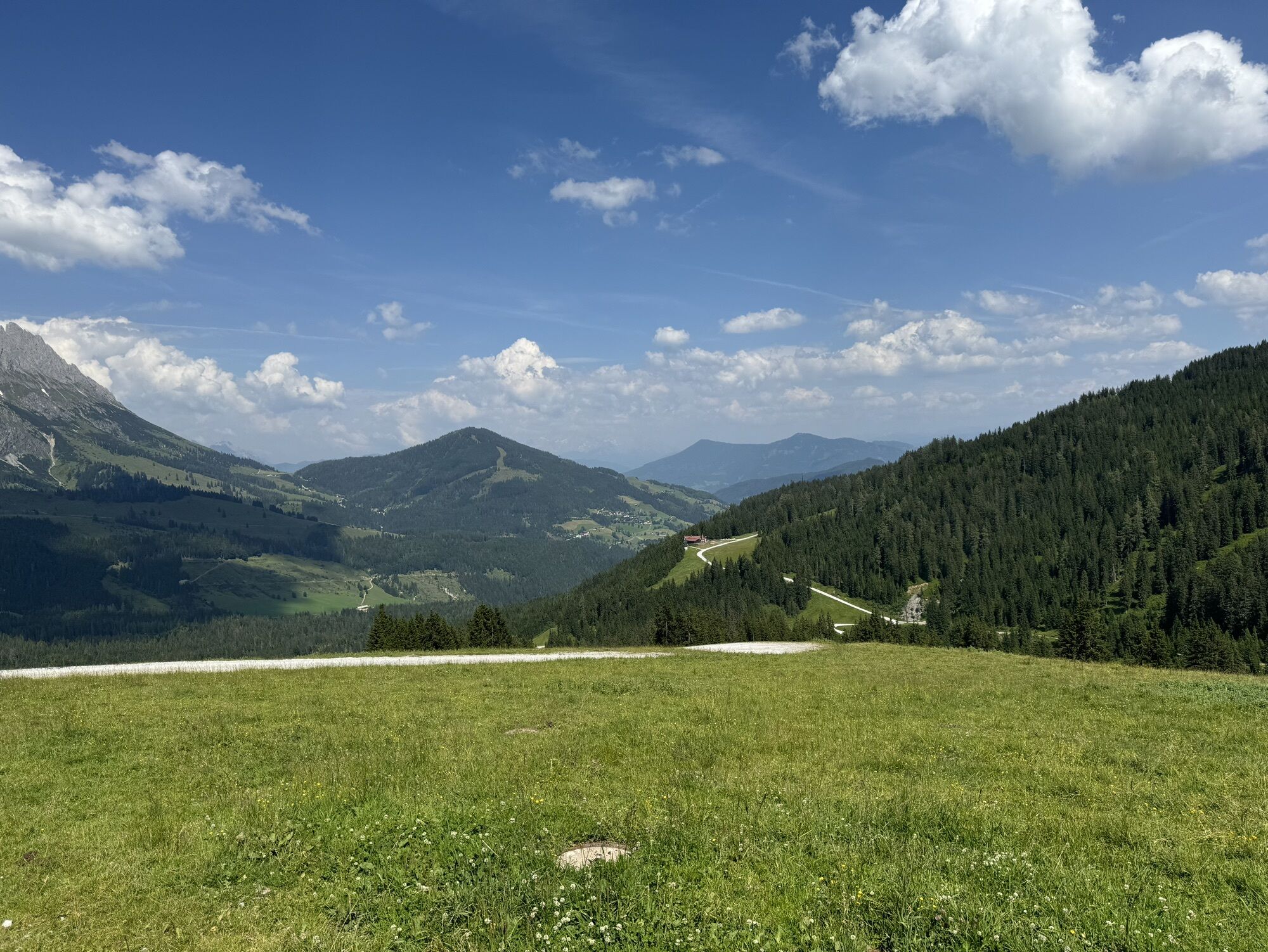
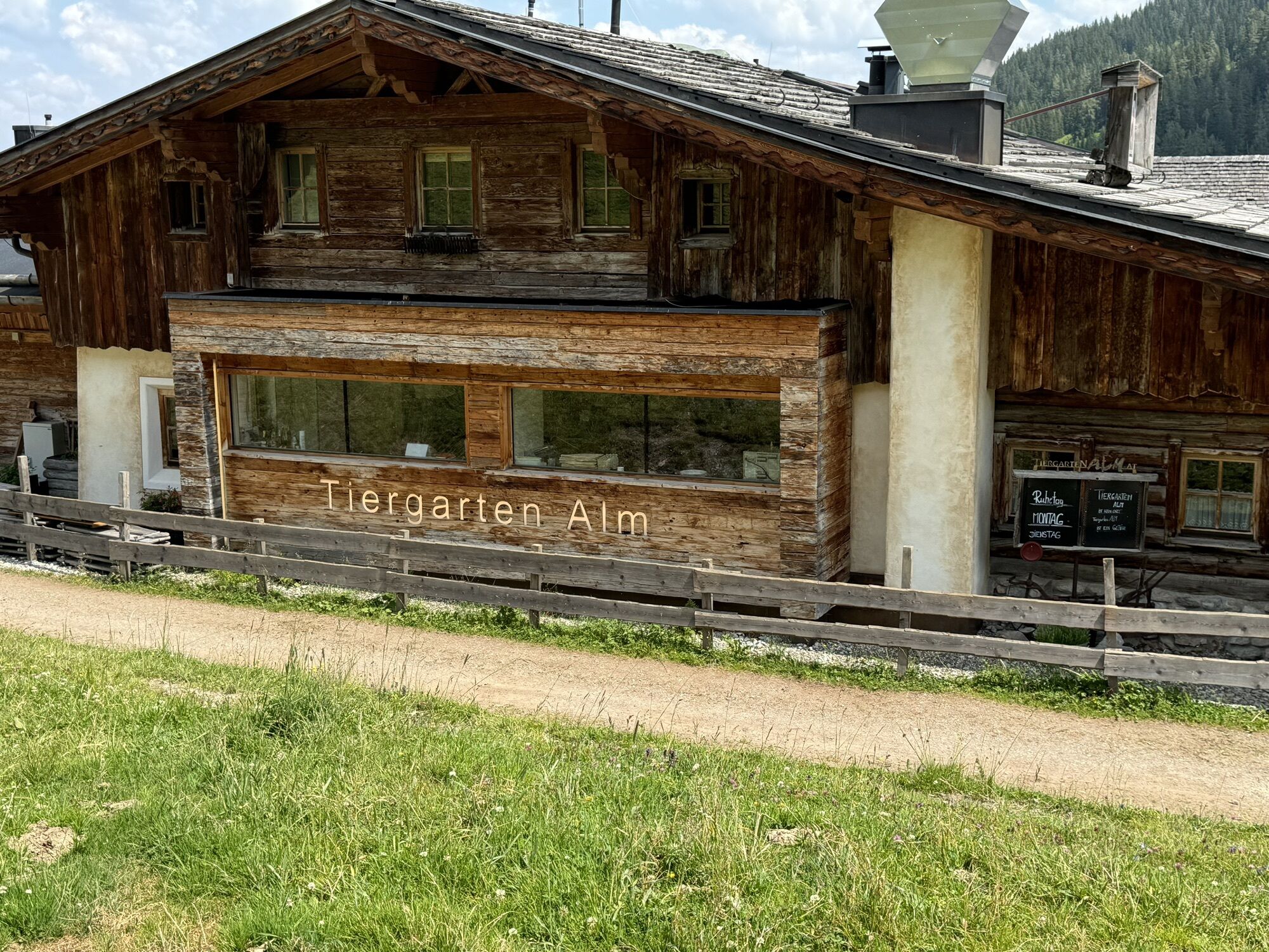
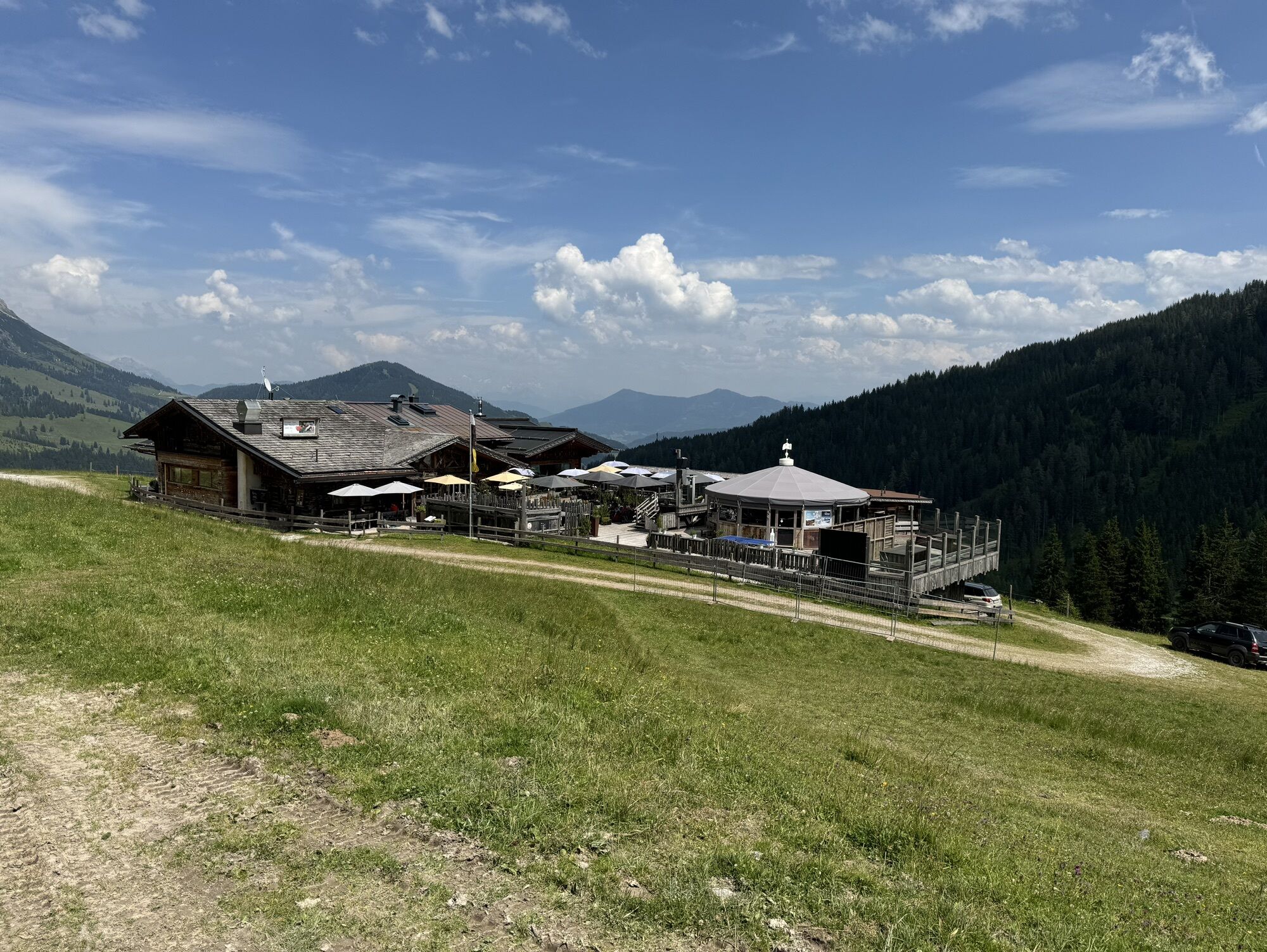
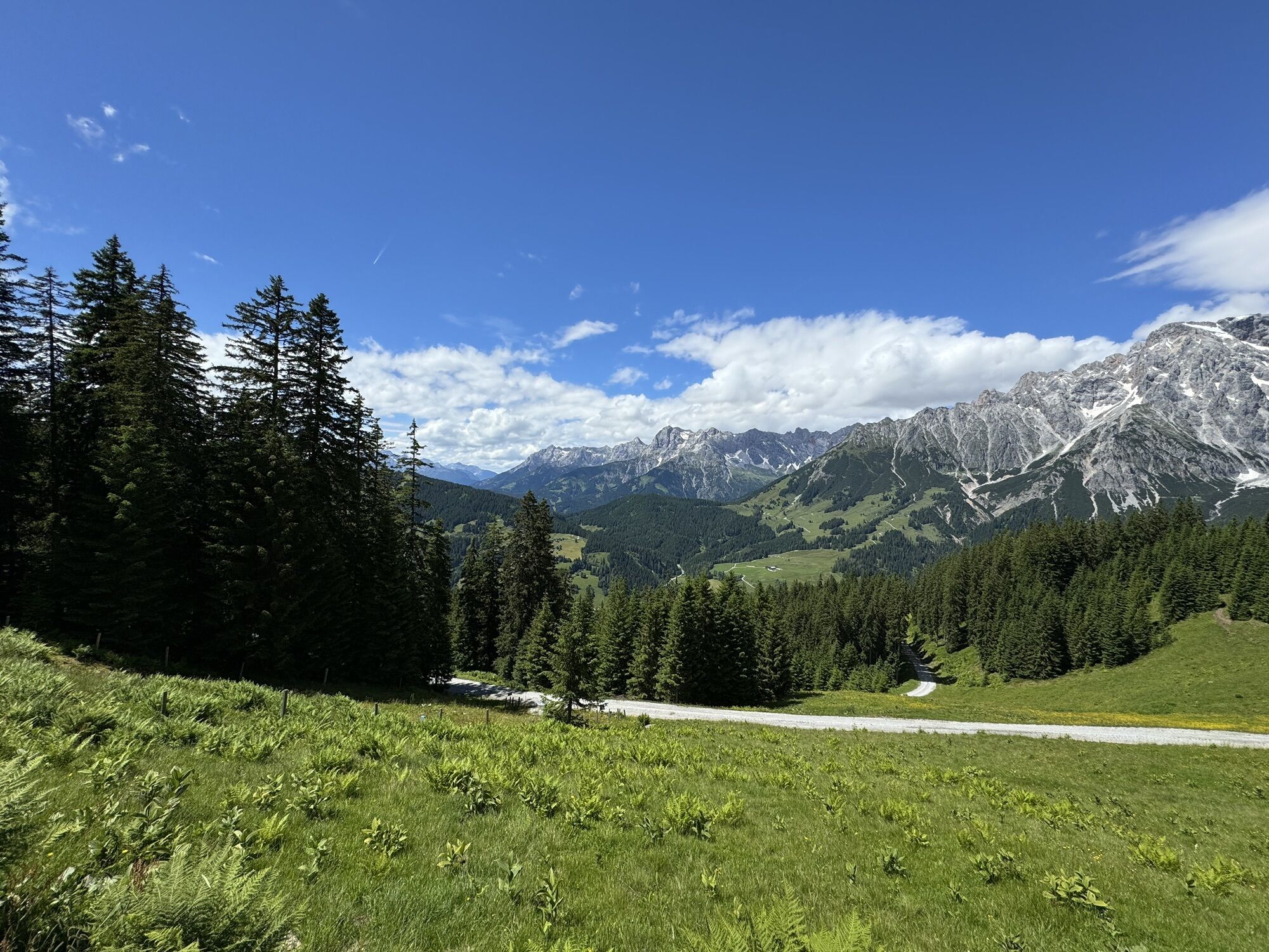
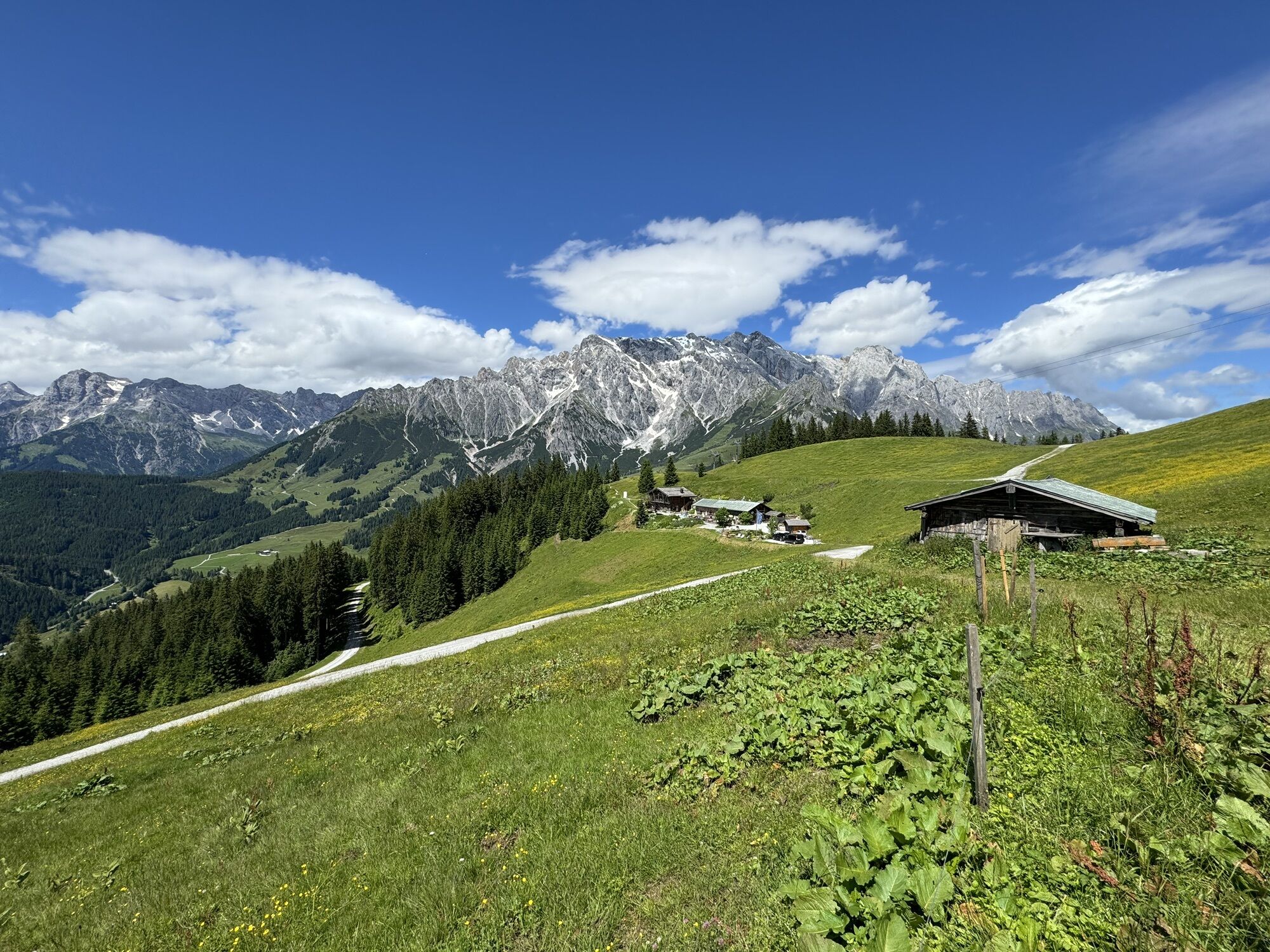
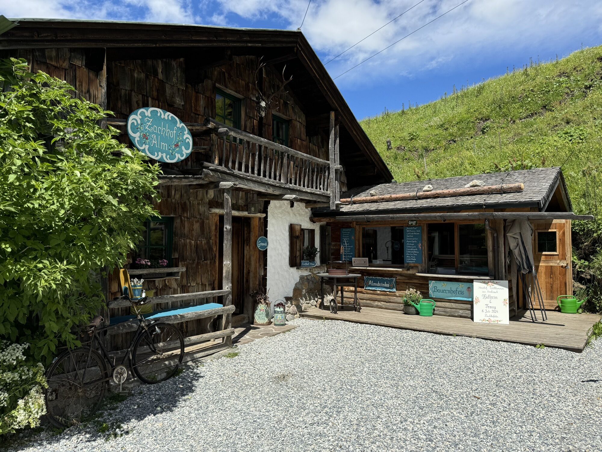
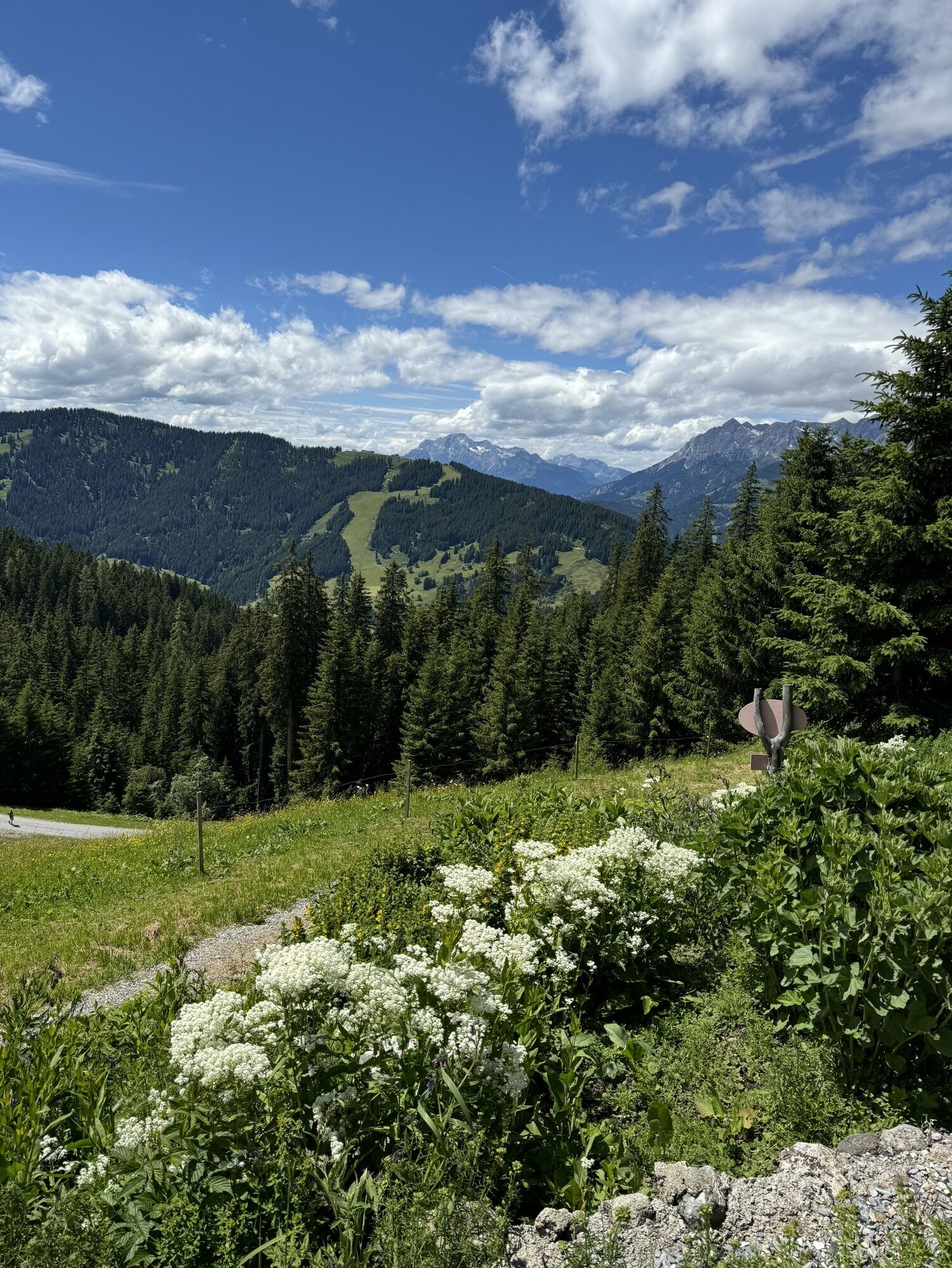
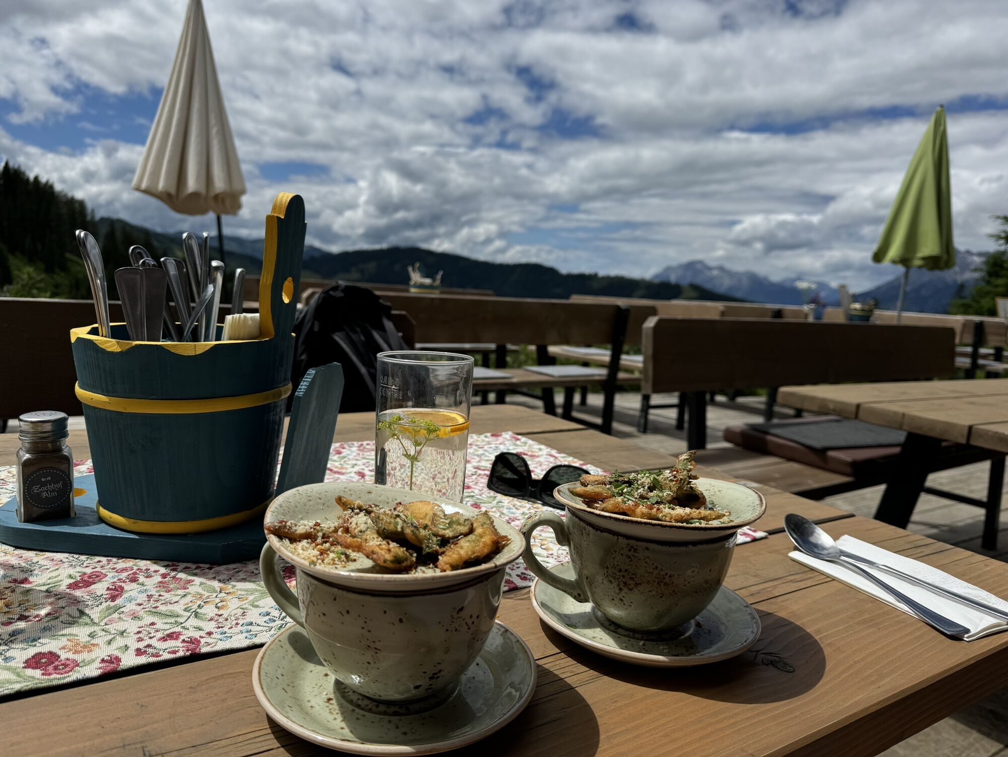
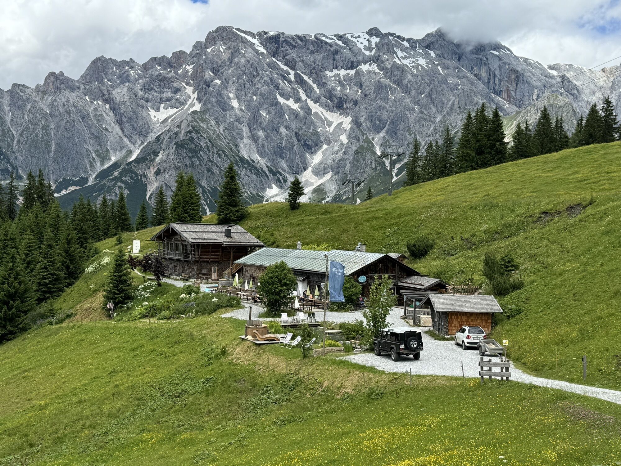
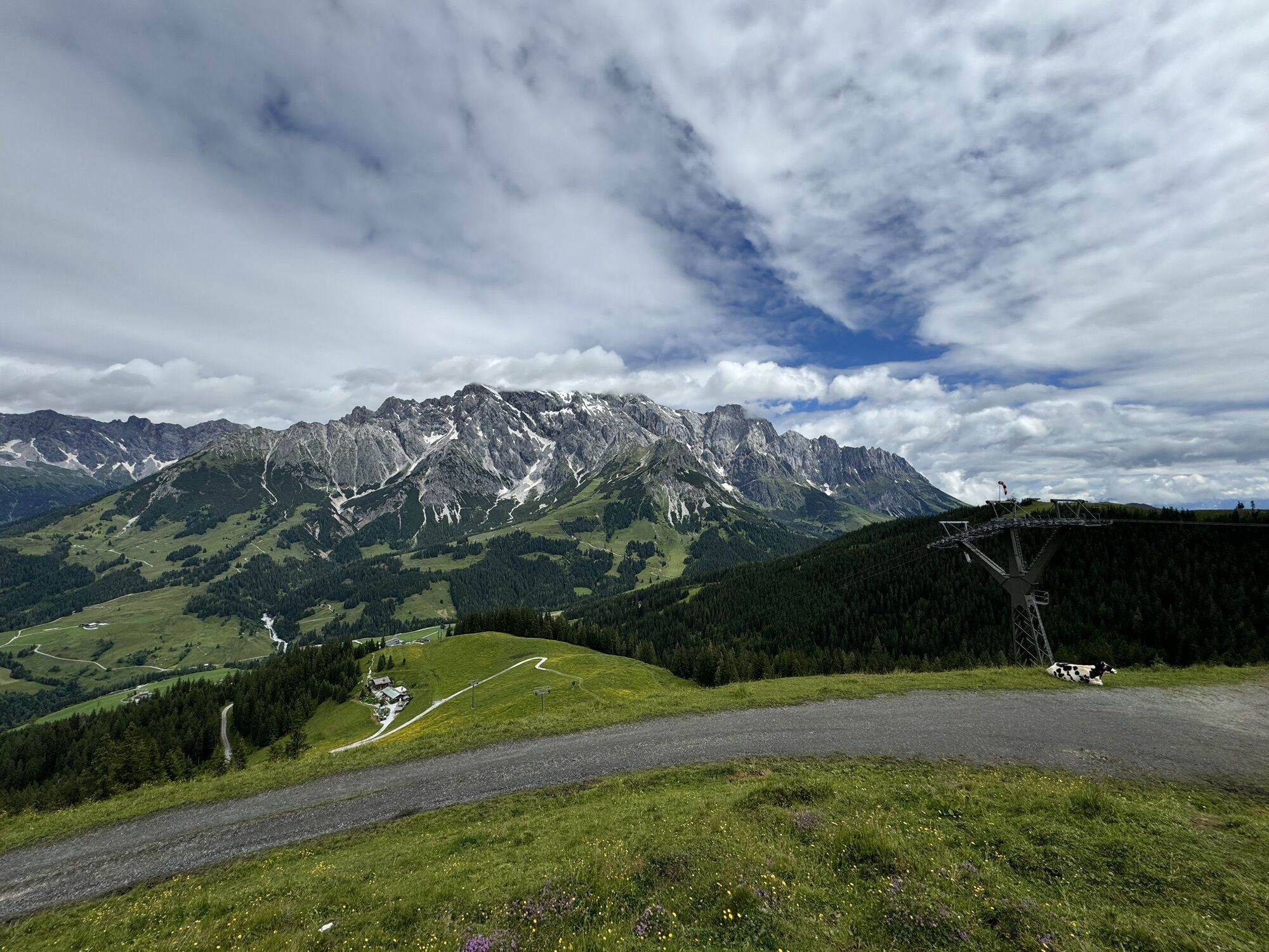
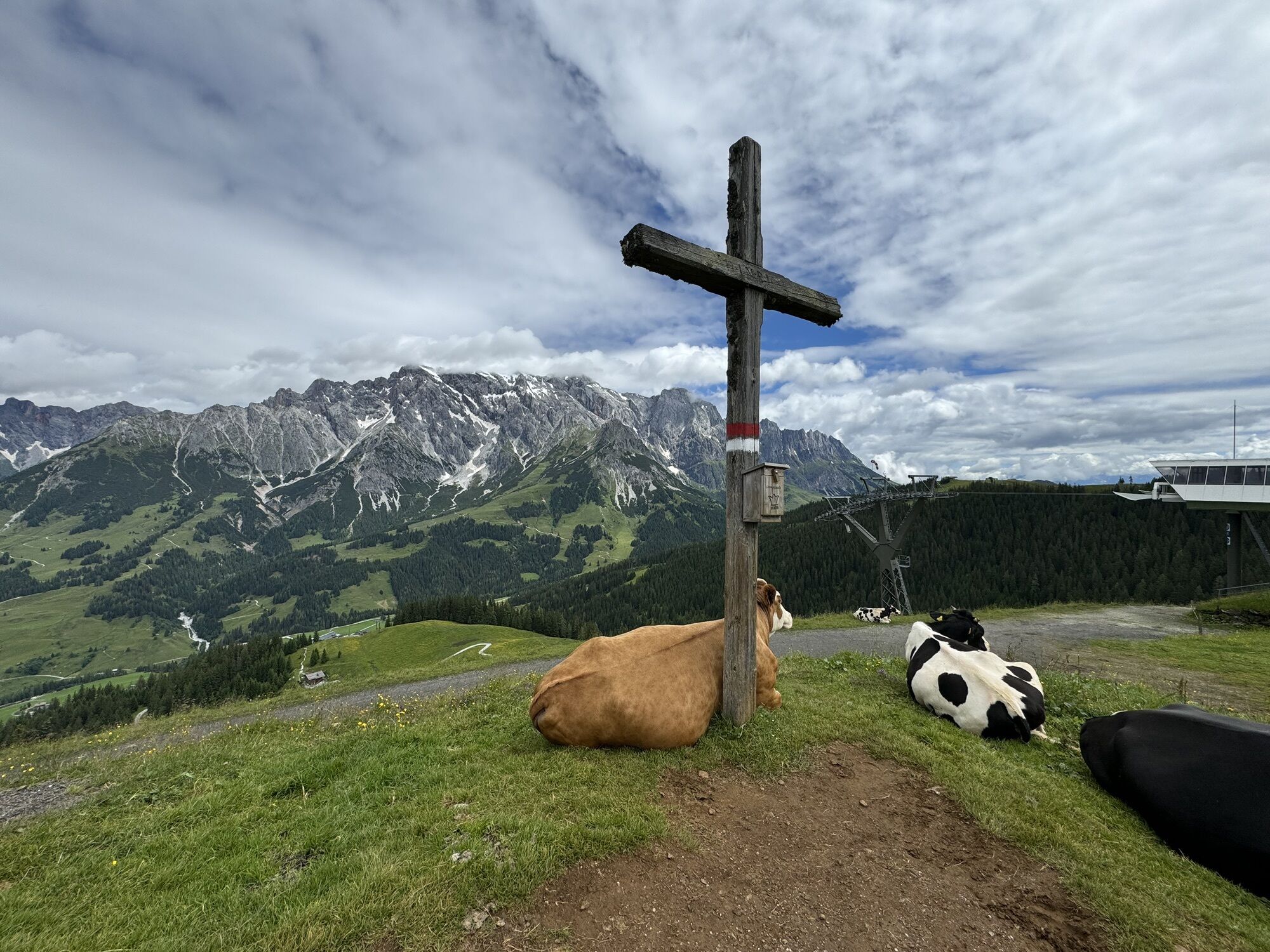
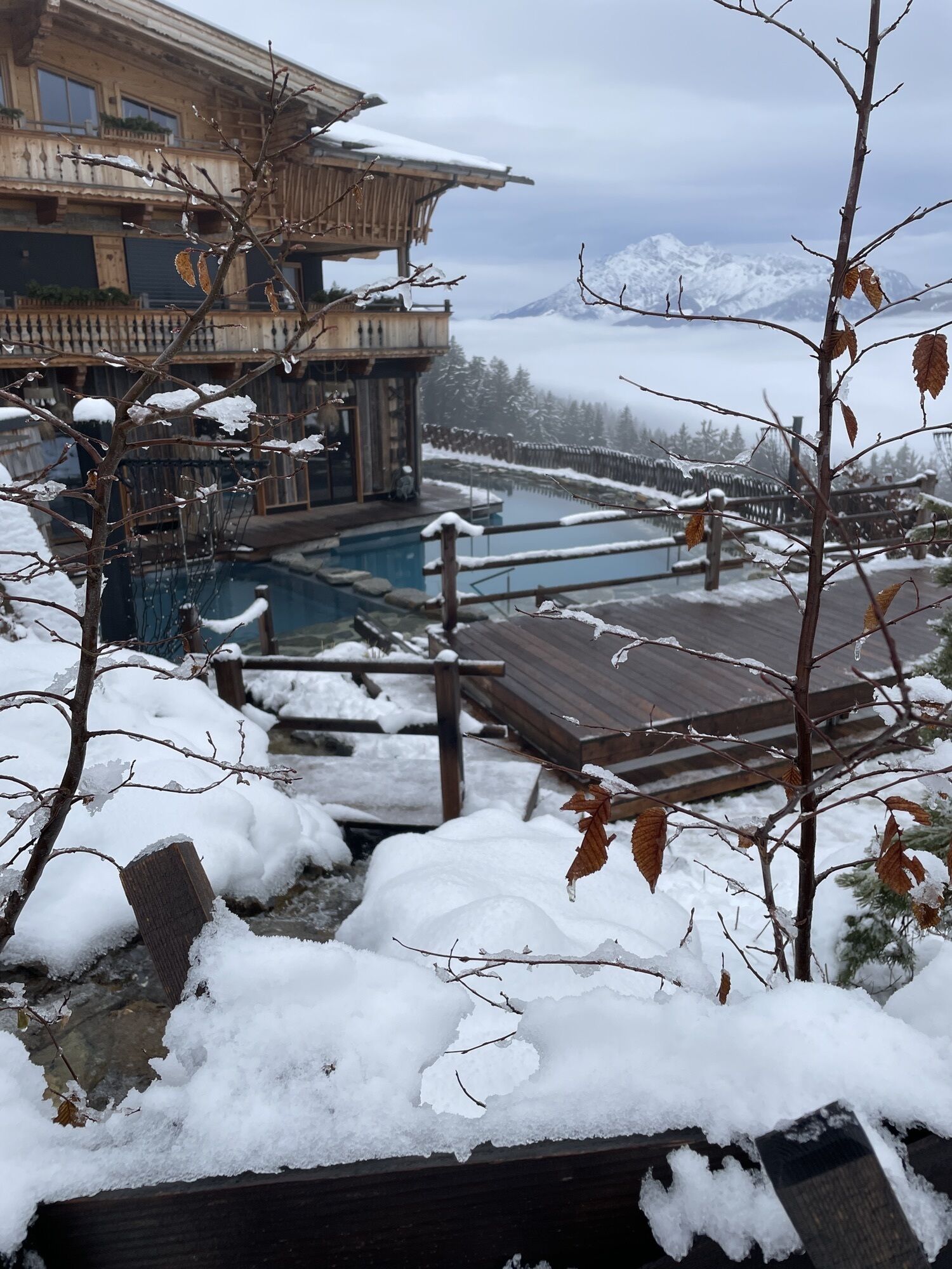
The toughest of the three Königstour variants covers over 170 km through the most beautiful spots in the Hochkönig region. On this route, no lifts are allowed except at the start. Diverse and challenging...
The toughest of the three Königstour variants covers over 170 km through the most beautiful spots in the Hochkönig region. On this route, no lifts are allowed except at the start. Diverse and challenging bike trails await you on the Königstour Bike BIG. The tour runs through the entire Hochkönig region and its valley towns Maria Alm, Dienten, and Mühlbach.
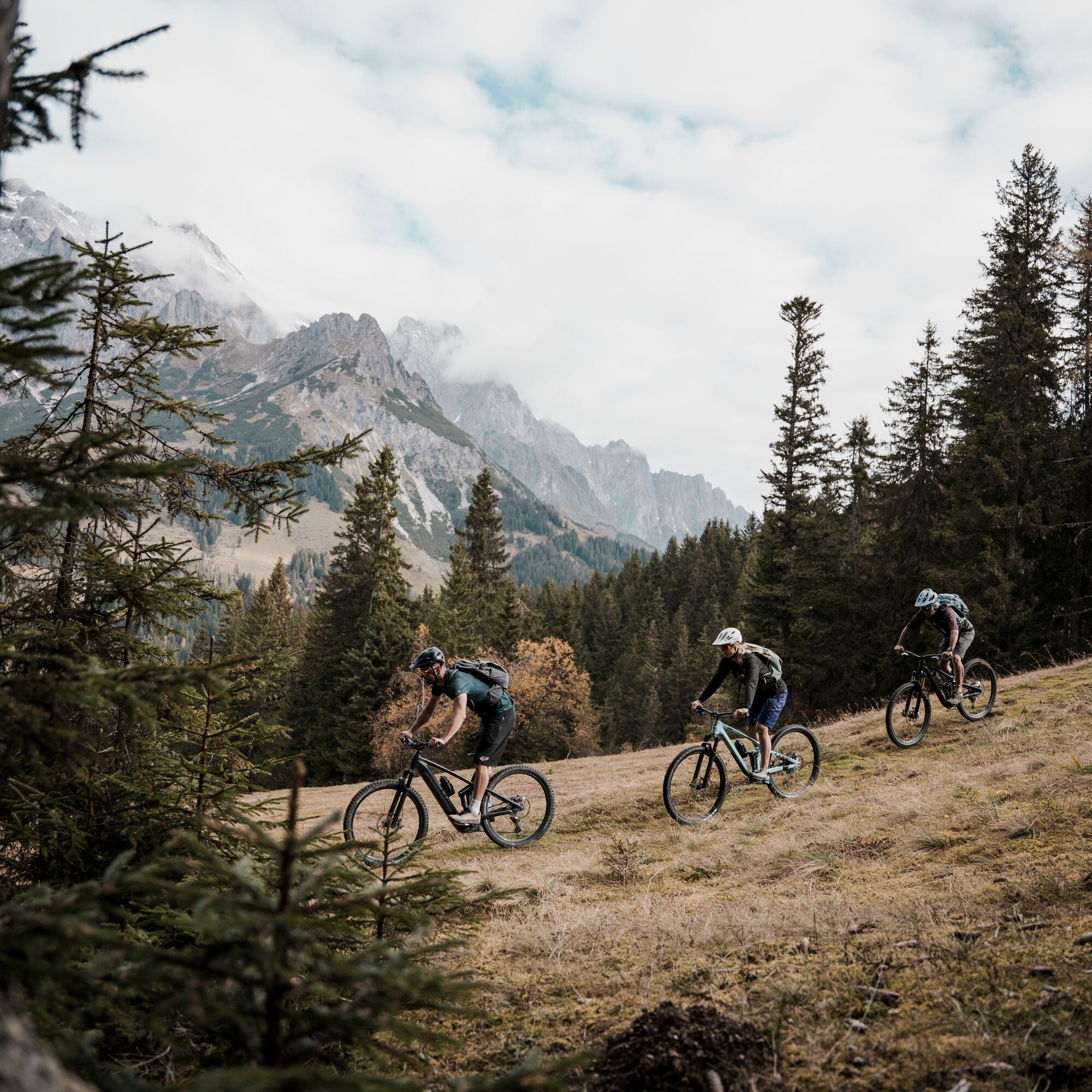

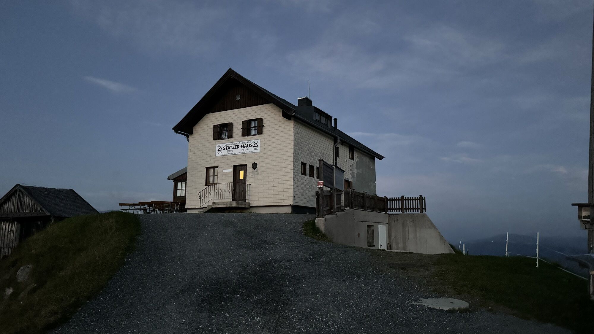
Already on the first day, the route leads all the way from Maria Alm to Mühlbach, including some of the most beautiful bike paths and trails in the region. On the second day, the loop goes from Mühlbach via Bischofshofen back to Dienten, with the Flowtrail Hochkönig providing extra riding fun. The final stage features a special highlight: on the third day, you’ll climb the 2,117 m high Hundstein, which offers a stunning panorama, before descending back to the starting point in Maria Alm.
Kontrollierte Bikeausrüstung mit Helm
Sonnenbrille, Sonnenschutz, Regenschutz
Getränkeund eine kleine Jause
Notwendige Medikamente
Erste HilfeSet
Bikekarte
Stay on the trails! Ride only on marked routes to protect nature and private property.
Respect pasture fences! Always close gates, barriers, and pasture enclosures after passing through.
Follow traffic regulations! Be particularly mindful of rules when riding on public roads.
Pass safely! Overtake other bikers or hikers only at walking speed and with sufficient distance.
Be considerate! Show respect to fellow outdoor enthusiasts, farmers, forestry, and hunting personnel.
Protect wildlife! Avoid noise and unnecessary disturbances, especially at dawn and dusk.
Leave no waste behind! Take your trash with you and keep nature clean.
Ride responsibly! Adjust your speed to the terrain, your abilities, and weather conditions.
Check the weather! Stay informed about current conditions at www.zamg.at or www.uwz.at.
Emergency numbers: Alpine Emergency: 140 | International Emergency: 112 | Ambulance: 144
Coming from Salzburg: Take the A10 highway to the Bischofshofen exit, then take the B311 in the direction of Bischofshofen. Follow the Hochkönig Bundesstraße/B164 to Mühlbach and on to Dienten. Coming from Innsbruck/ Kufstein: Take the Loferer Straße/B178 towards St. Johann i.T., then the Hochkönig Bundesstraße/B164 via Saalfelden and Maria Alm to Dienten or the Filzensattel. A valid vignette is required to use the Austrian highway and expressway network. It is also compulsory to carry a first-aid kit, warning triangle and high-visibility vest. Further information can be found at Asfinag.
ÖBB-Scotty: Fahrplanauskunft
Bus-Linie 620: Fahrplanauskunft
Bus-Linie 631: Fahrplanauskunft
Wanderbus: Fahrplanauskunft
Free parking spaces at the entrance of Maria Alm
For detailed information on hiking maps, the operating hours of cable cars, as well as huts and alpine pastures in summer, we recommend visiting the local service center. There, you'll receive not only a hiking map but also valuable tips on the best hiking routes and current trail conditions.
Summer operating hours of the cable cars: Cable cars in the Hochkönig region operate on varying schedules throughout the summer season, depending on the weather and time of year. Please check in advance for up-to-date operating times.
Opening hours of huts & alpine pastures: The huts and alpine pastures in the region are perfect rest stops for hikers. Their opening hours may also vary depending on the season and the day of the week. Friendly hosts are happy to advise you on local specialties and what’s on offer.
For more information, please visit our website: www.hochkoenig.at
If you have any questions or need specific information, feel free to contact us: ð§ Email: region@hochkoenig.at ð Phone: +43 (0)6584 20388
We look forward to helping you and wish you a wonderful time exploring the beautiful hiking region of Hochkönig!
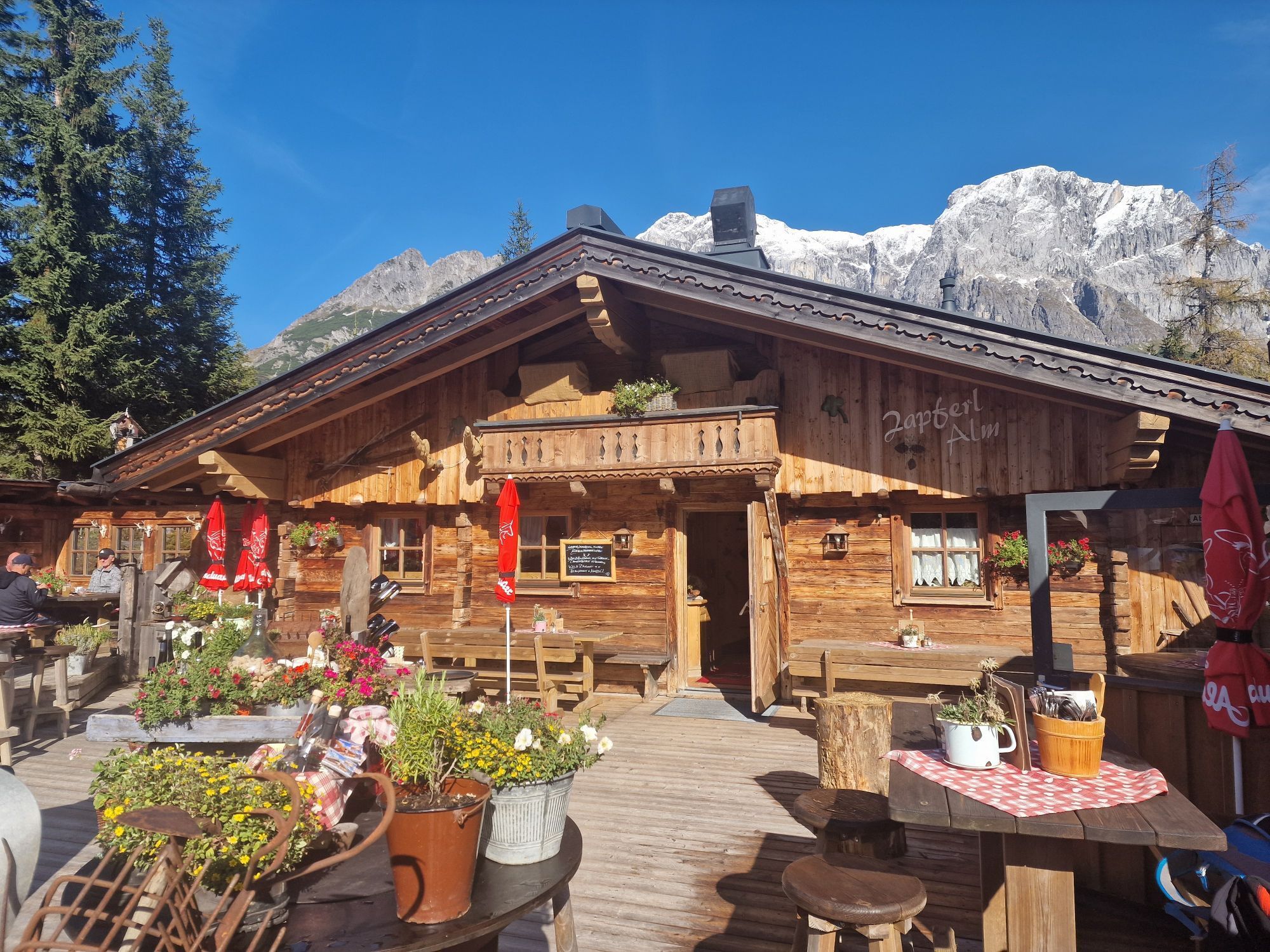
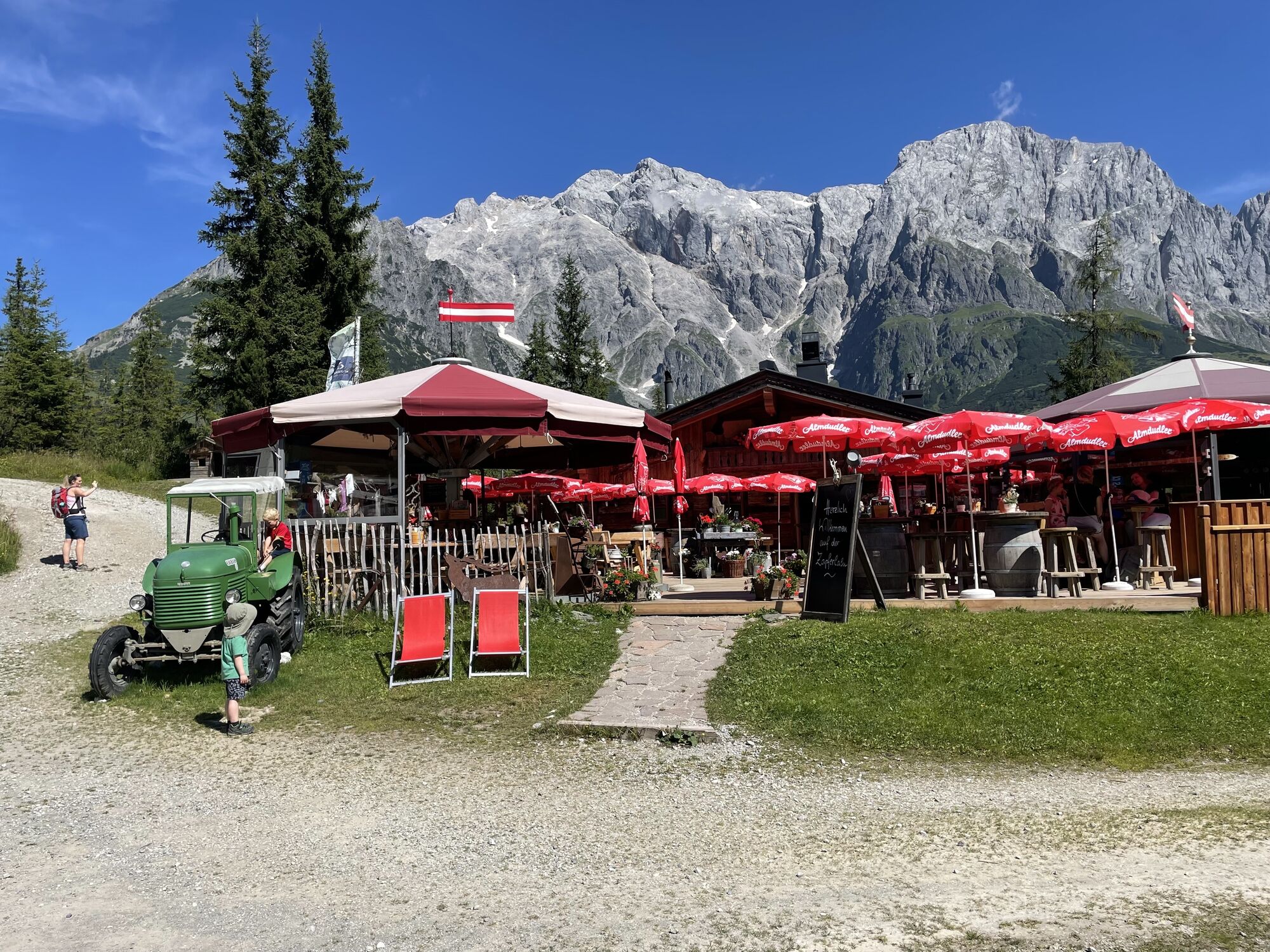
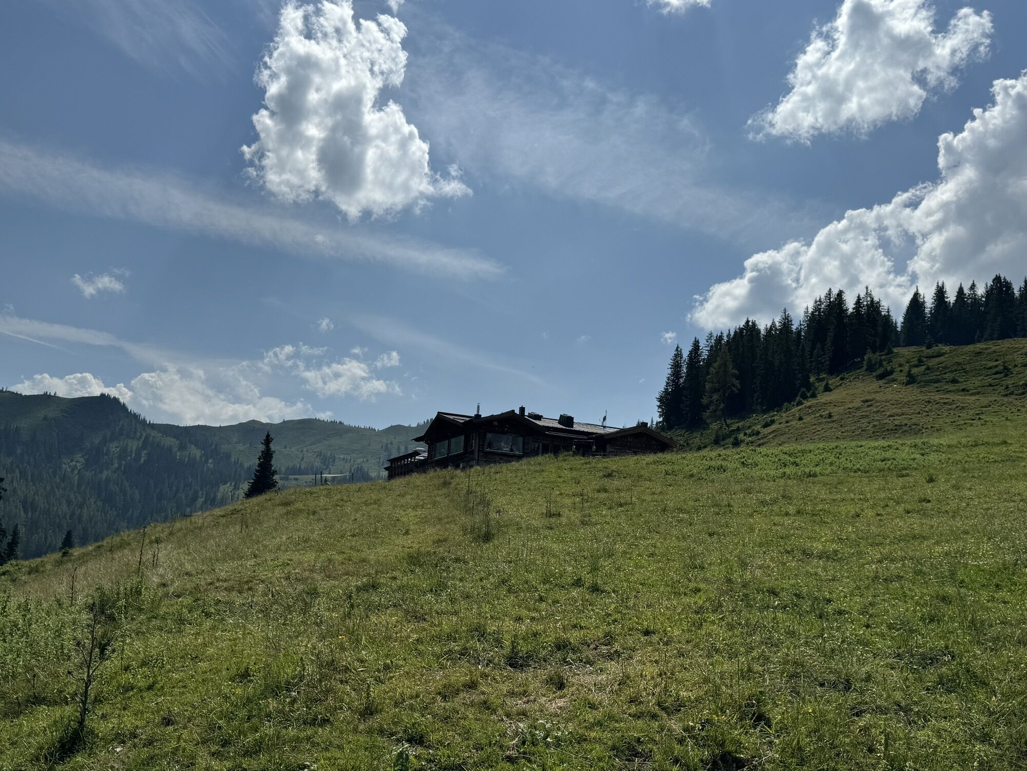
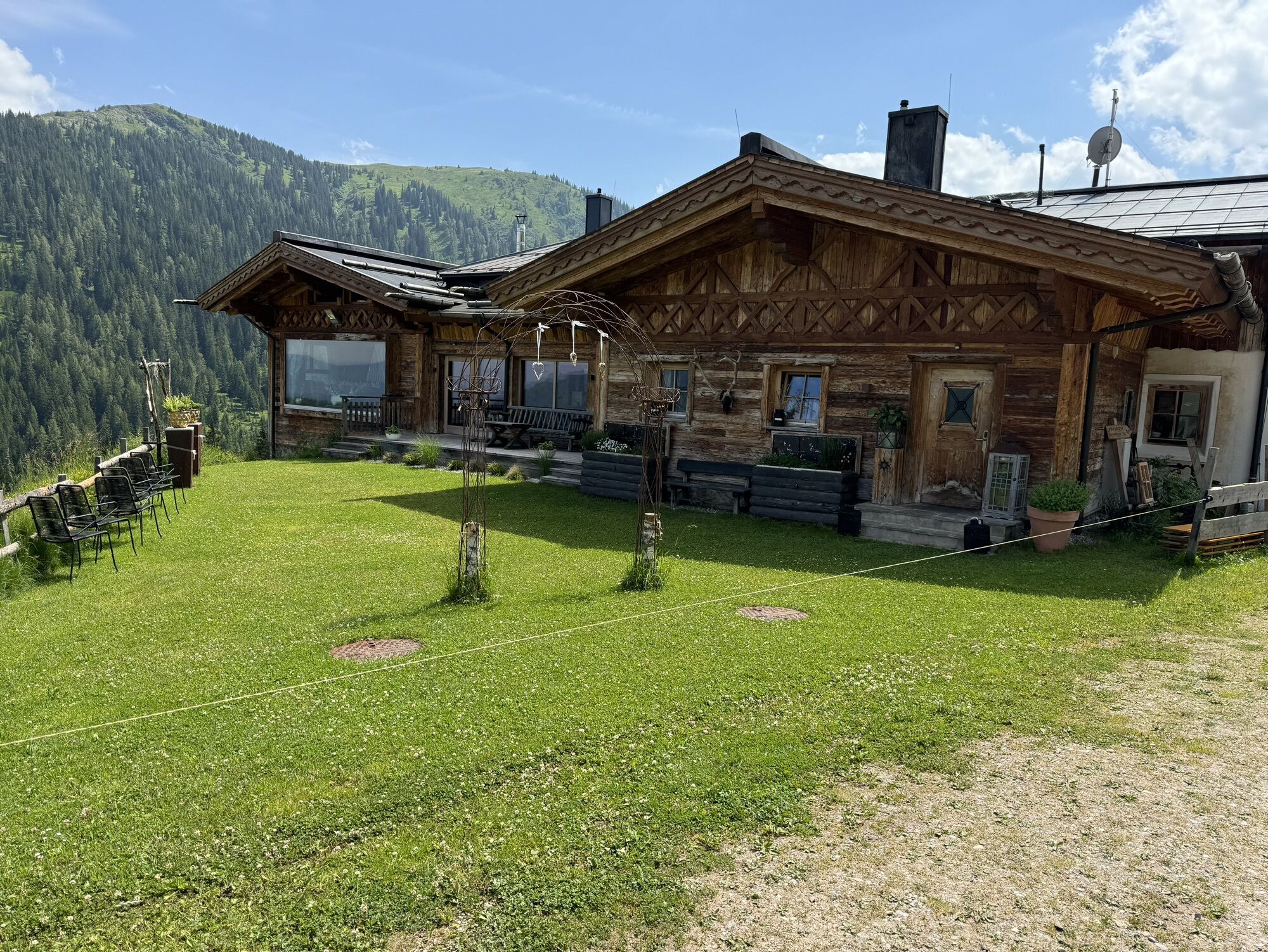
The huts along the Königstour are highly recommended.
Webcams del recorrido
-
Mühlbach am Hochkönig
-
Maria Alm - Hochmaisbahn
-
Aberg - Bergstation
-
Bürglalmlift - Dienten
-
Pfarrwerfen Feratel
-
Mühlbach am Hochkönig - Hotel Bergheimat
-
Bischofshofen-Kreuzberg
-
Pfarrwerfen Feratel
-
Pfarrwerfen Feratel
-
Pfarrwerfen Feratel
-
Pfarrwerfen Feratel
-
Pfarrwerfen Feratel
-
Pfarrwerfen Feratel
-
Pfarrwerfen Feratel
-
Bergstation Kings Cab
-
Saalfelden
-
Matrashaus am Hochkönig
-
Golfplatz Goldegg
-
Golfplatz Goldegg
-
Grünegg Alm & Edelbrennerei
-
Dienten - Übergossene Alm Resort
-
Dienten - Almsee
-
Dienten - Übergossene Alm Resort
-
Natrun Bergstation
-
Dienten, Bürglalmabfahrt
-
Pfarrwerfen, Eulersberg
-
Bergstation Kings Cab
-
Bergstation Kings Cab
-
Bergstation Kings Cab
-
Bergstation Kings Cab
-
Bergstation Kings Cab
-
Hoferbichlgut
-
Hinterreit - Saalfelden
-
Saalfelden - Obermühlhof
-
Bergstation Kings Cab
-
Bergstation Kings Cab
-
Maria Alm - "die Hochkönigin"
-
Bürglalmbahn Abfahrt
-
Hochkönigblick
-
Arthurhaus - Mühlbach
Infórmate
Siempre en directo con más de 9.500 webcams. bergfex Como usuario Pro, ahora puede ver las webcams correspondientes a muchos tours en la app de tours desde. Esto le permite ver las condiciones actuales directamente.
Rutas populares en los alrededores
-
4,8
Ruta conquistador de la cumbre Lauskopf
pesadoSenderismo 8,16 km -
4,2
Maria Alm - Riemannhaus
Senderismo 3,99 km -
4,8
Ruta de ascenso a la cima Taghaube
pesadoSenderismo 6,25 km -
4,7
Sobre el "recorrido de las Cuatro Cabañas" a Windraucheggalm
medioSenderismo 10,1 km -
4,7
Caminata panorámica al Hochkeil
medioSenderismo 6,07 km -
4,6
Steinalm
luzSenderismo 2,71 km -
3,6
Wanderung zur Ostpreußenhütte in Werfen (1.630 m)
medioSenderismo 11,2 km -
4,2
Schwalbenwand Nr. 80, 81, 82
medioSenderismo 13,0 km -
4,8
Hochkönig - Gipfel der Gefühle - Matrashaus
pesadoSenderismo 20,9 km -
4,4
Caminata por alms y refugios "Hochmaisalm & Steinbockalm"
medioSenderismo 8,10 km

Senderismo y rastreo


No se pierda las ofertas y la inspiración para sus próximas vacaciones
Su dirección de correo electrónico se ha añadido a la lista de correo.





