


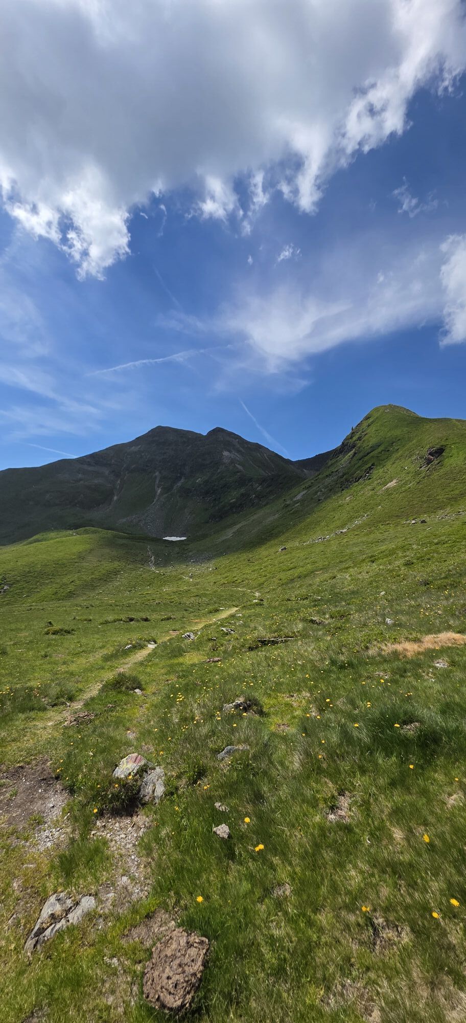
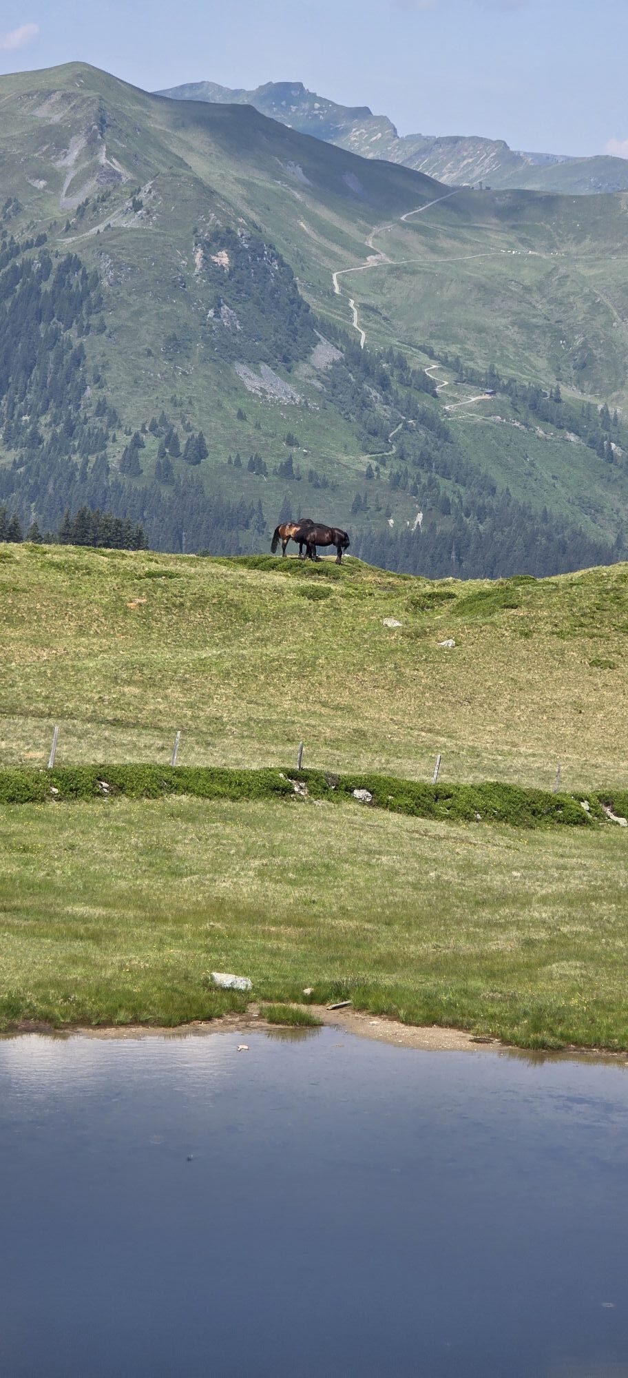
Connection Glemmtal - Salzachtal (Crossing the Alps)
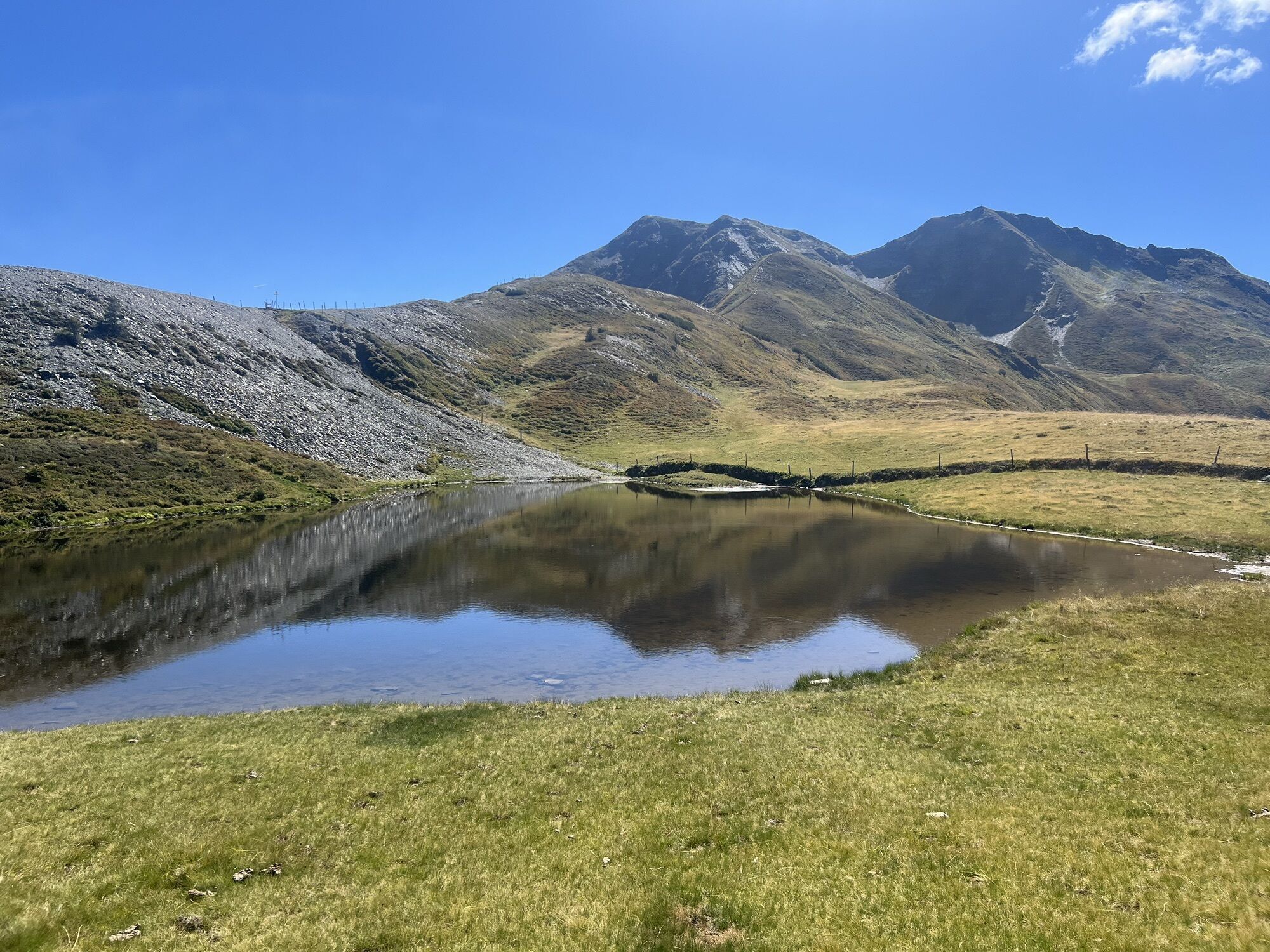
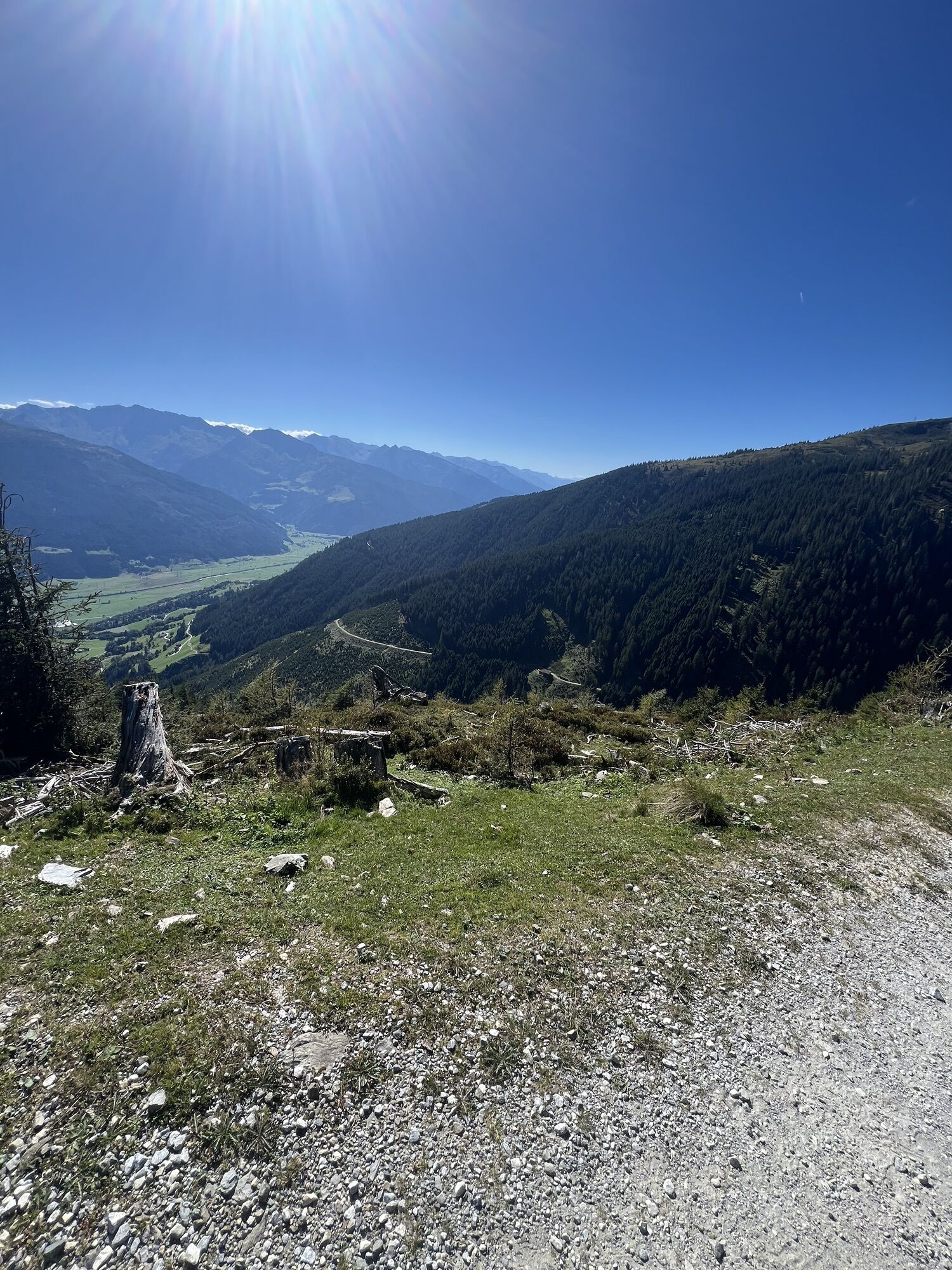
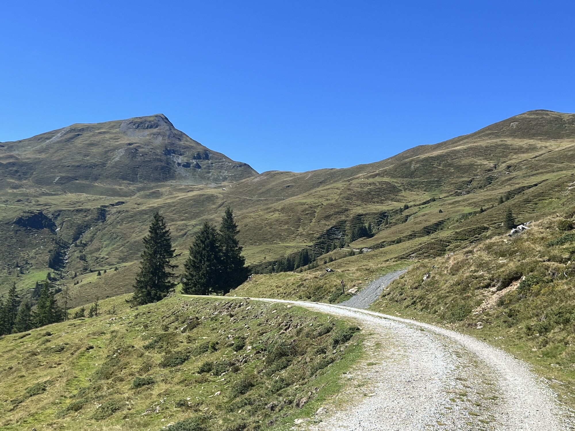
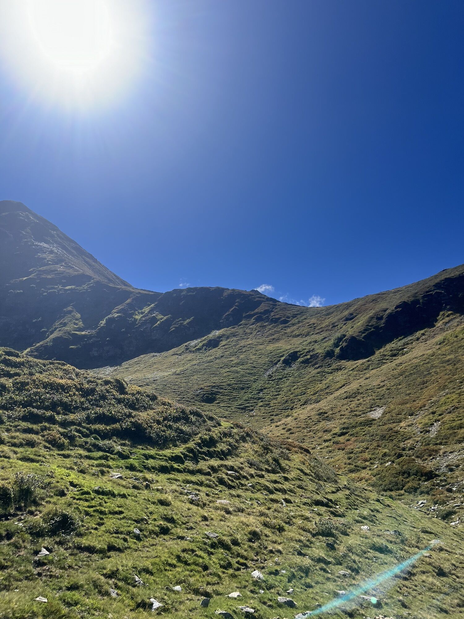


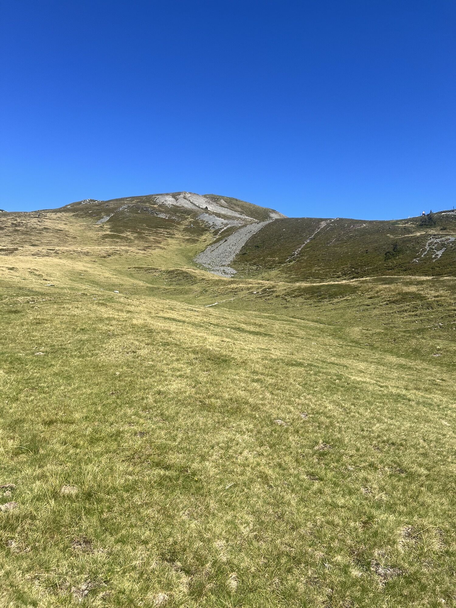
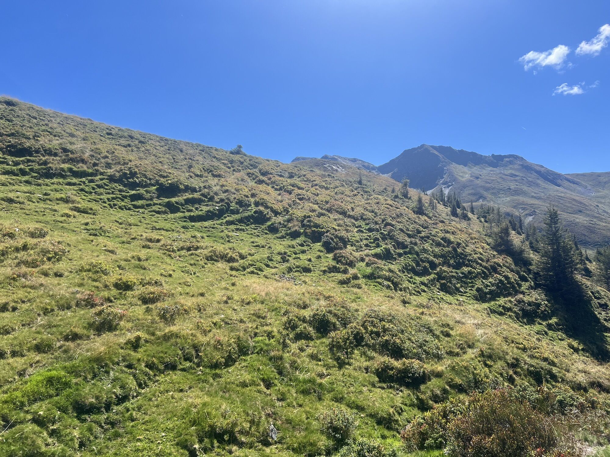

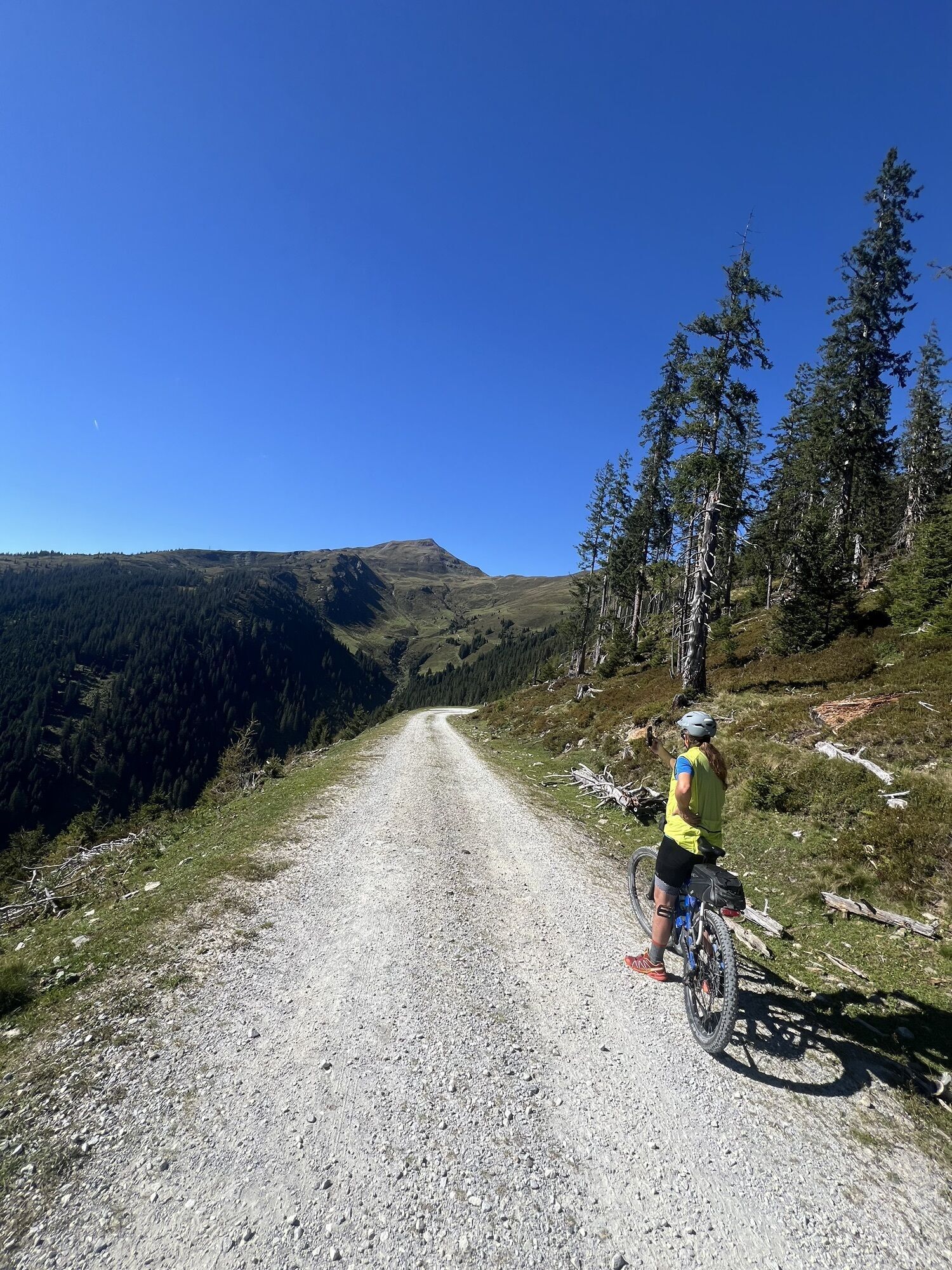
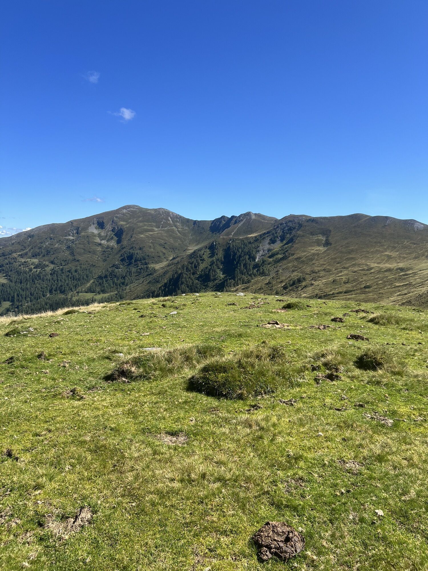
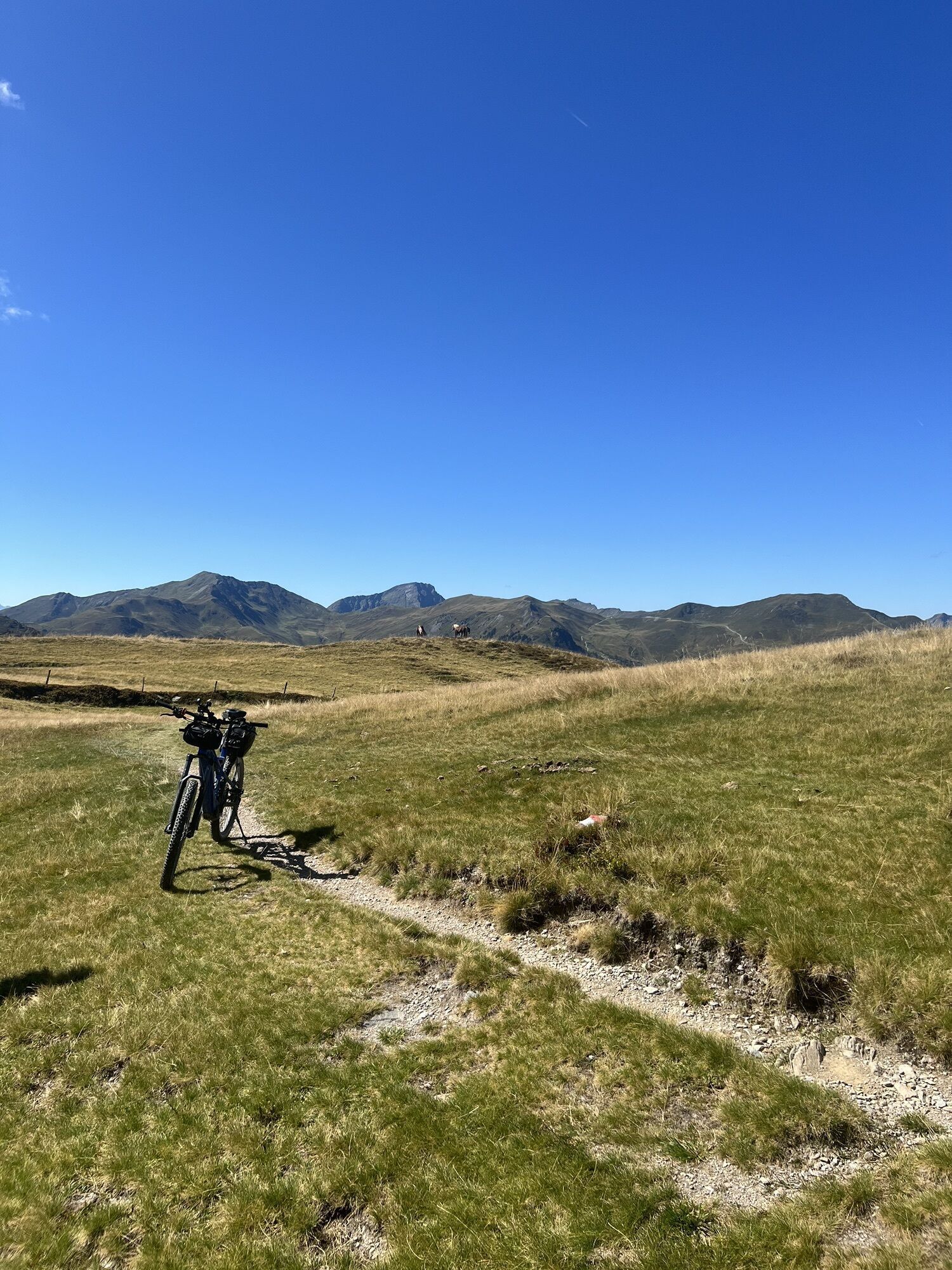
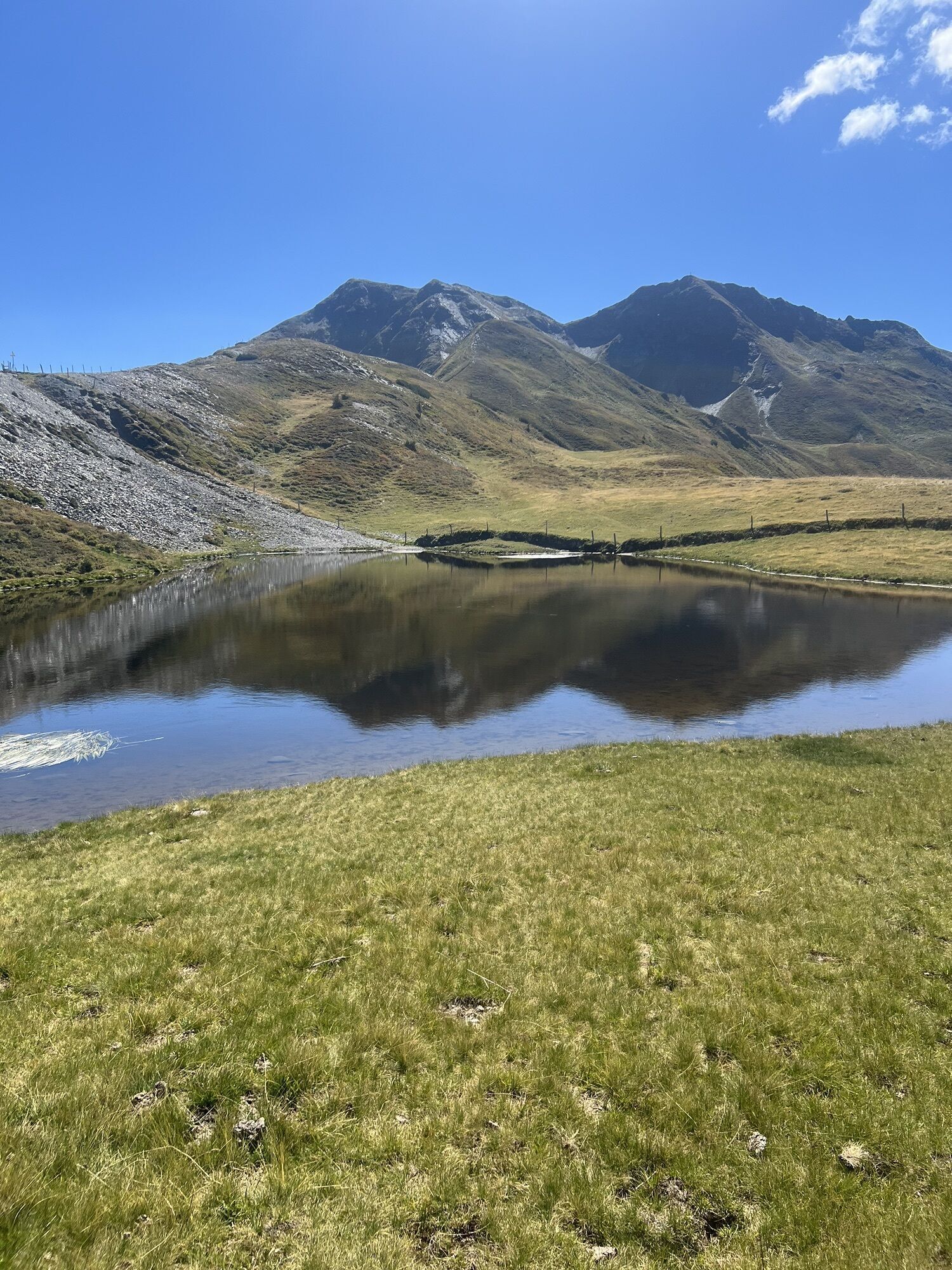
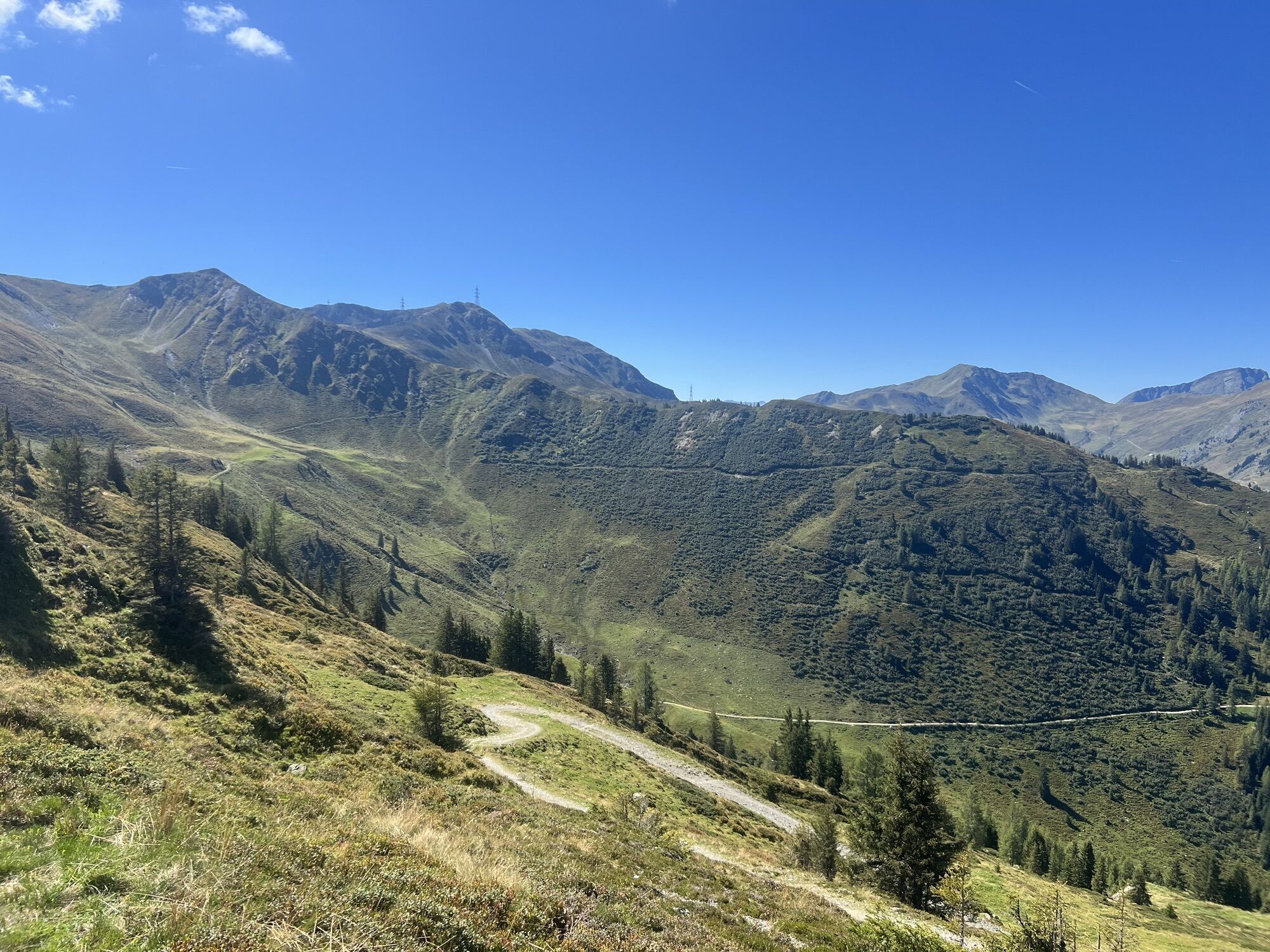
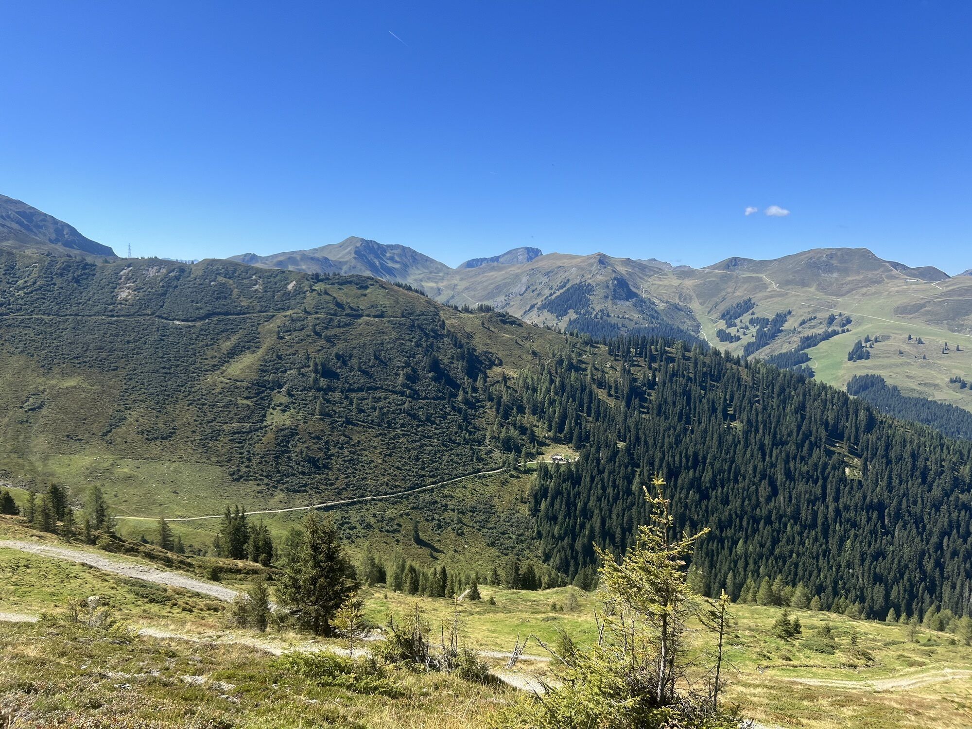
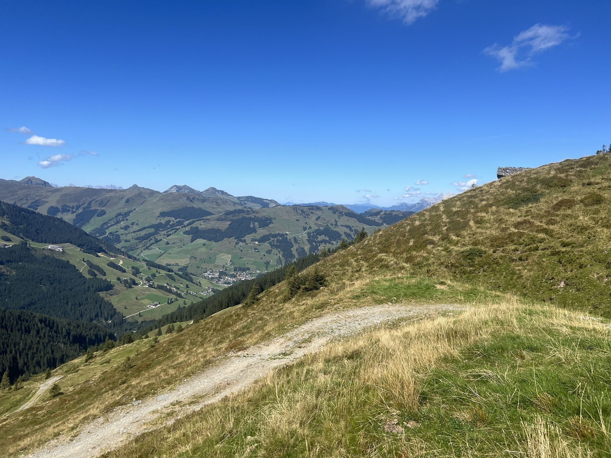
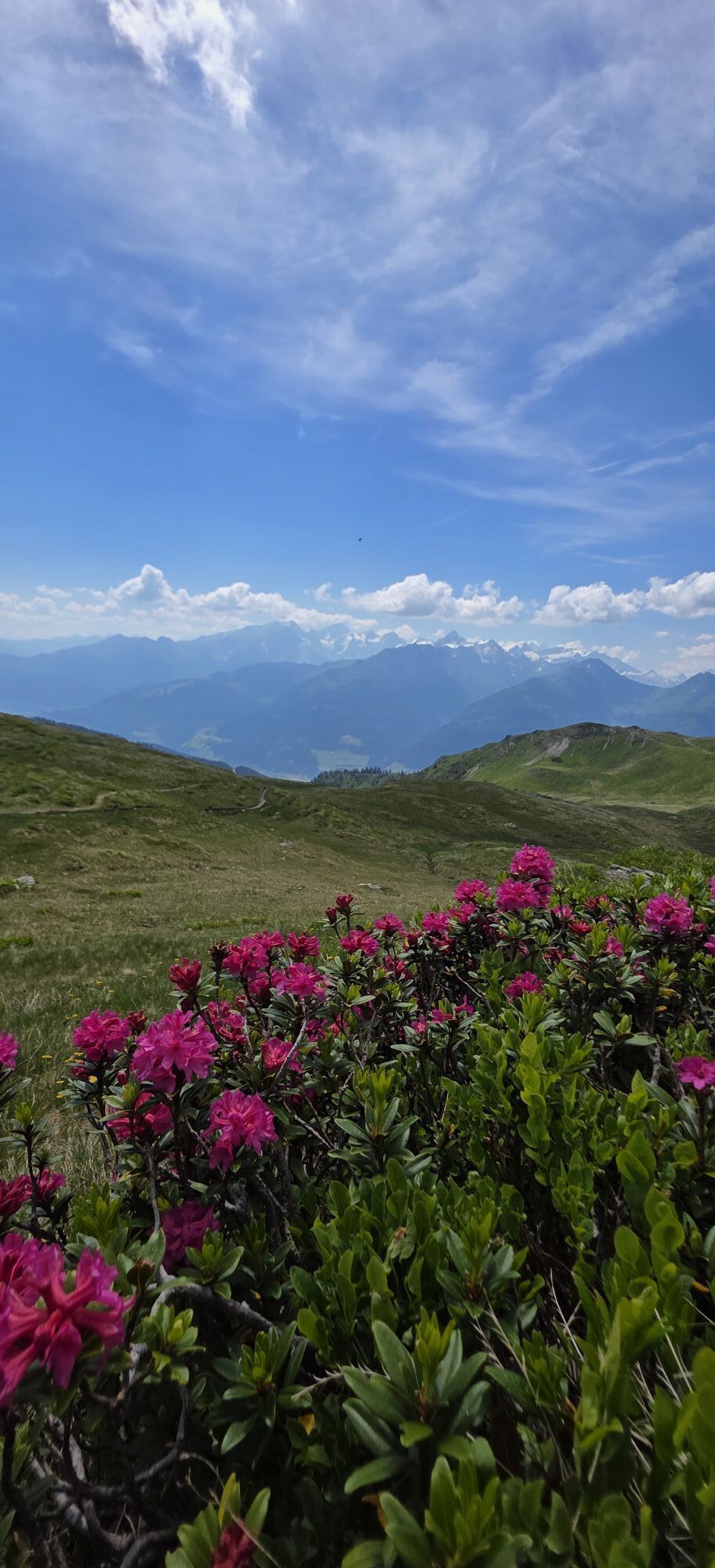
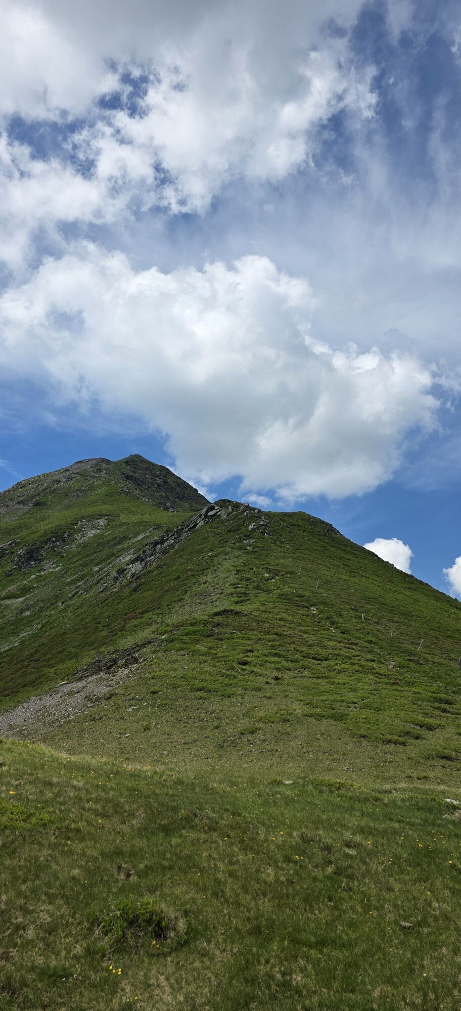
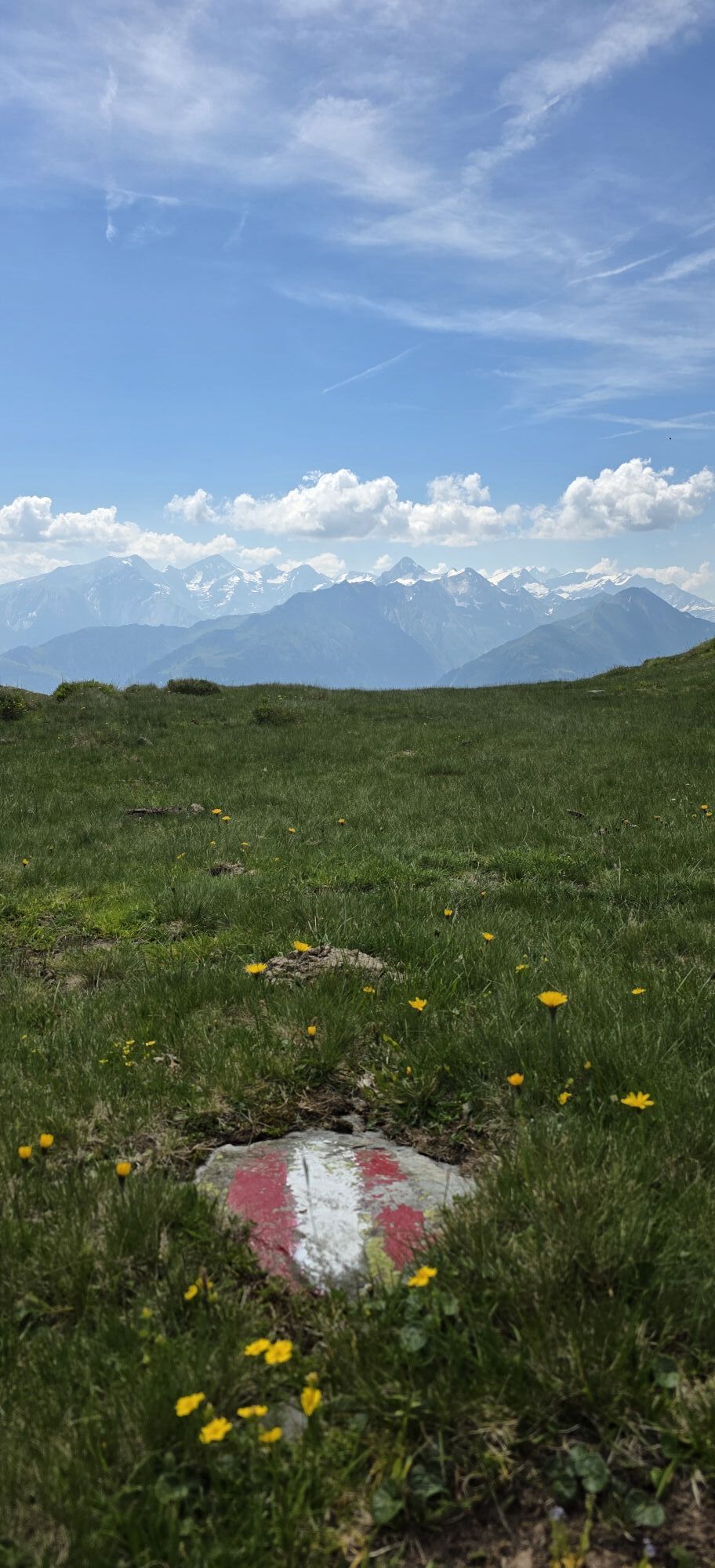
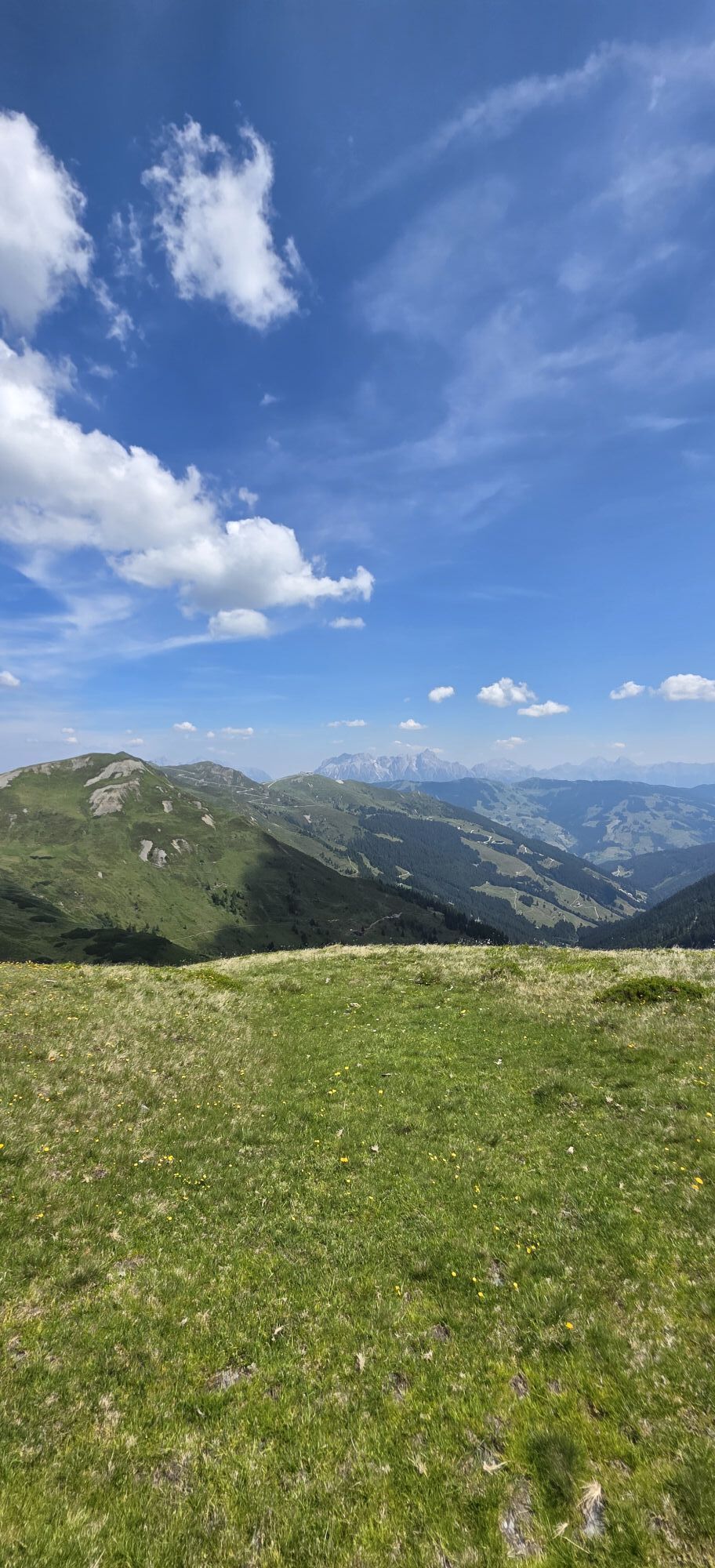
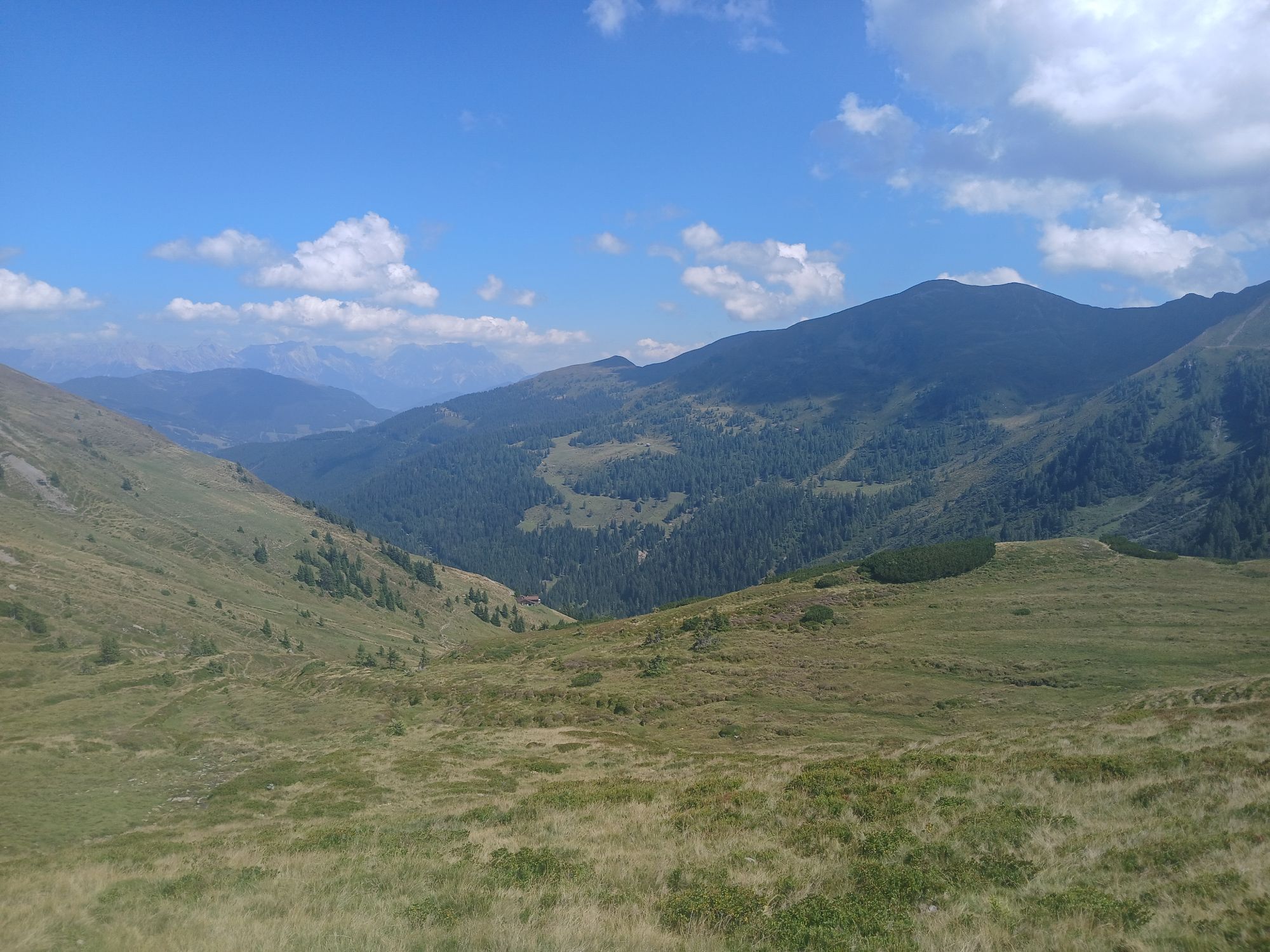

Coming from Saalbach, continue along the promenade into the valley to Hinterglemm. At the western end of the village, turn into the Schwarzachergraben and follow it for approx. 2.5 km. Then turn left towards...
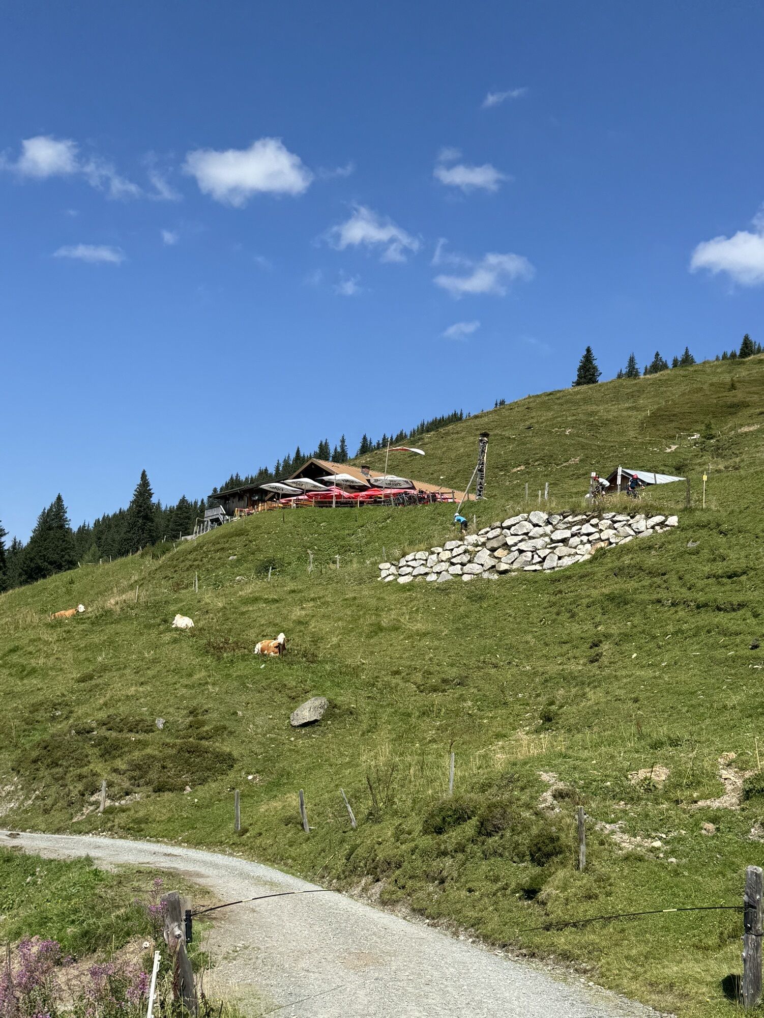
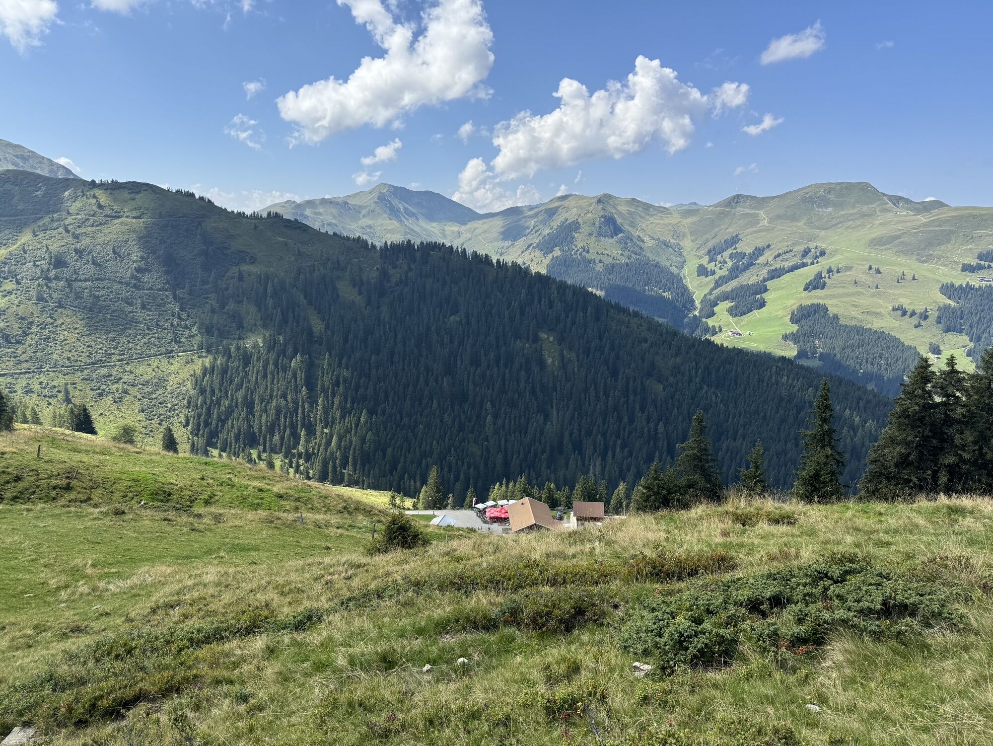
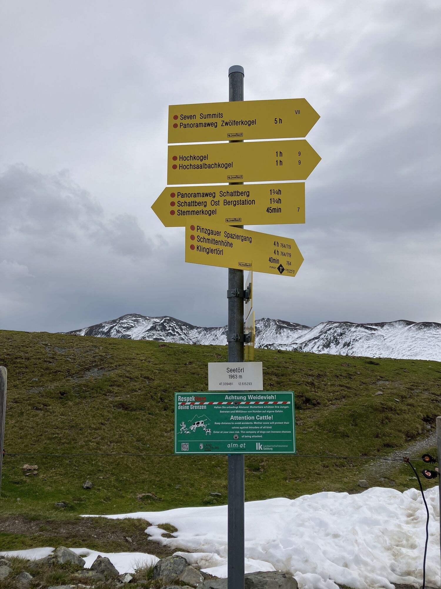
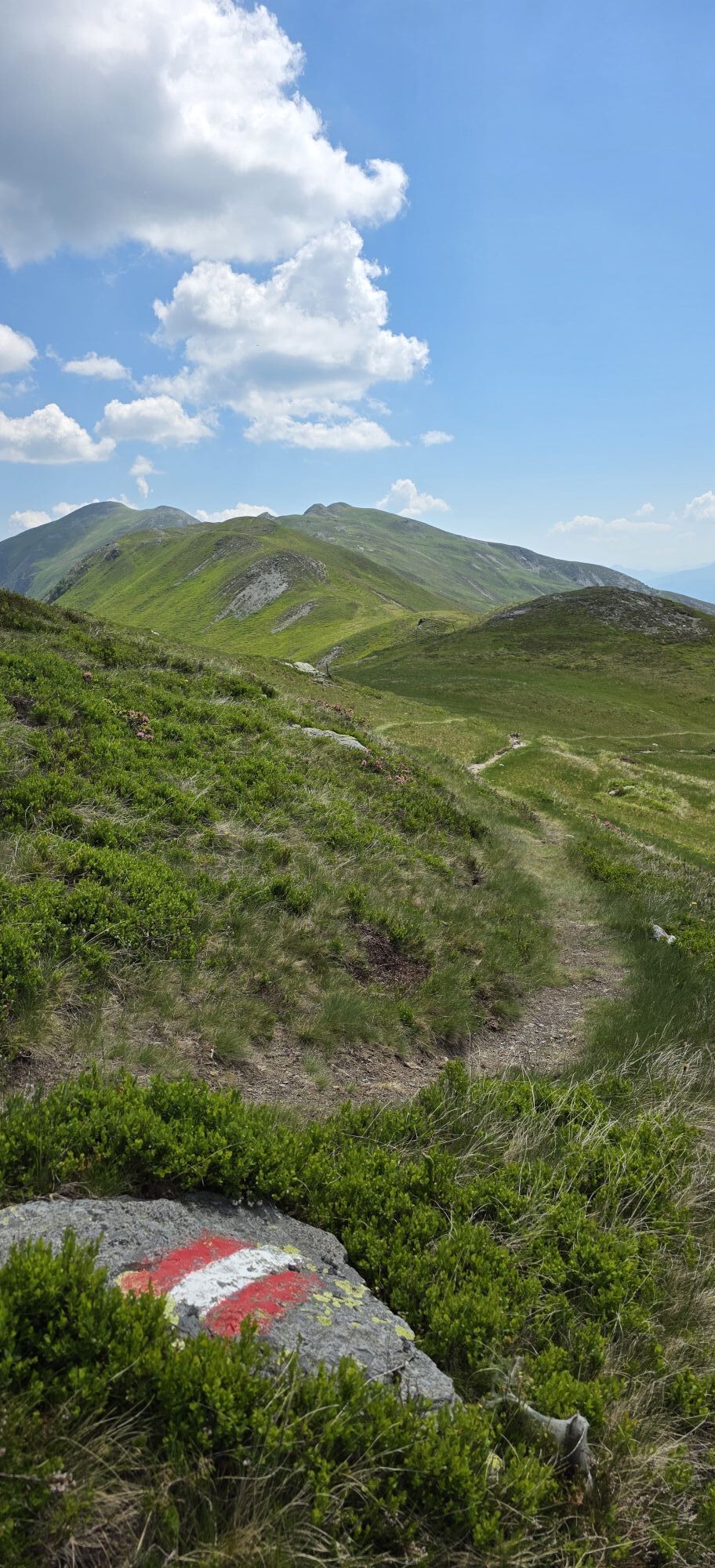
Coming from Saalbach, continue along the promenade into the valley to Hinterglemm. At the western end of the village, turn into the Schwarzachergraben and follow it for approx. 2.5 km. Then turn left towards Hacklbergeralm. After the hut, continue to the Hacklberger lakes and the Seetörl. Continue below the eastern flank of the Hochkogel to the Klinglertörl (highest point, shelter hut) and then descend to Walchen in the Salzach Valley.


Rutas populares en los alrededores
-
4,8
Sigmund Thun Klamm, Klammsee, Bürgkogel
luzSenderismo 4,56 km -
4,0
Maurerkogel (Top)
Senderismo 10,5 km -
4,9
Hochsonnberg Runde
medioMountainbike 59,8 km -
4,5
Thumersbach, Runde um den Zeller See
luzSenderismo 13,3 km -
4,4
Sigmund Thun Klamm
luzSenderismo 3,10 km -
4,0
Montaña de los sentidos
luzSenderismo 4,39 km -
5,0
Ruta panorámica con 3 cumbres y 2 lagos
medioSenderismo 7,21 km -
5,0
Spielewanderweg de Leo
luzSendero temático 4,89 km -
4,2
Sendero de altura Saalachtaler ESTE (Asitz - Biberg)
medioSenderismo 13,1 km -
4,7
Tristkogel
pesadoSenderismo 15,6 km
Senderismo y rastreo


No se pierda las ofertas y la inspiración para sus próximas vacaciones
Su dirección de correo electrónico se ha añadido a la lista de correo.