


Ketterän kierros MTB-trail
A versatile outdoor trail, suitable not only for mountain biking but also for trail running and hiking. You can find the trail easily by starting from the Himanka Sports Hall ski slope, where there is...
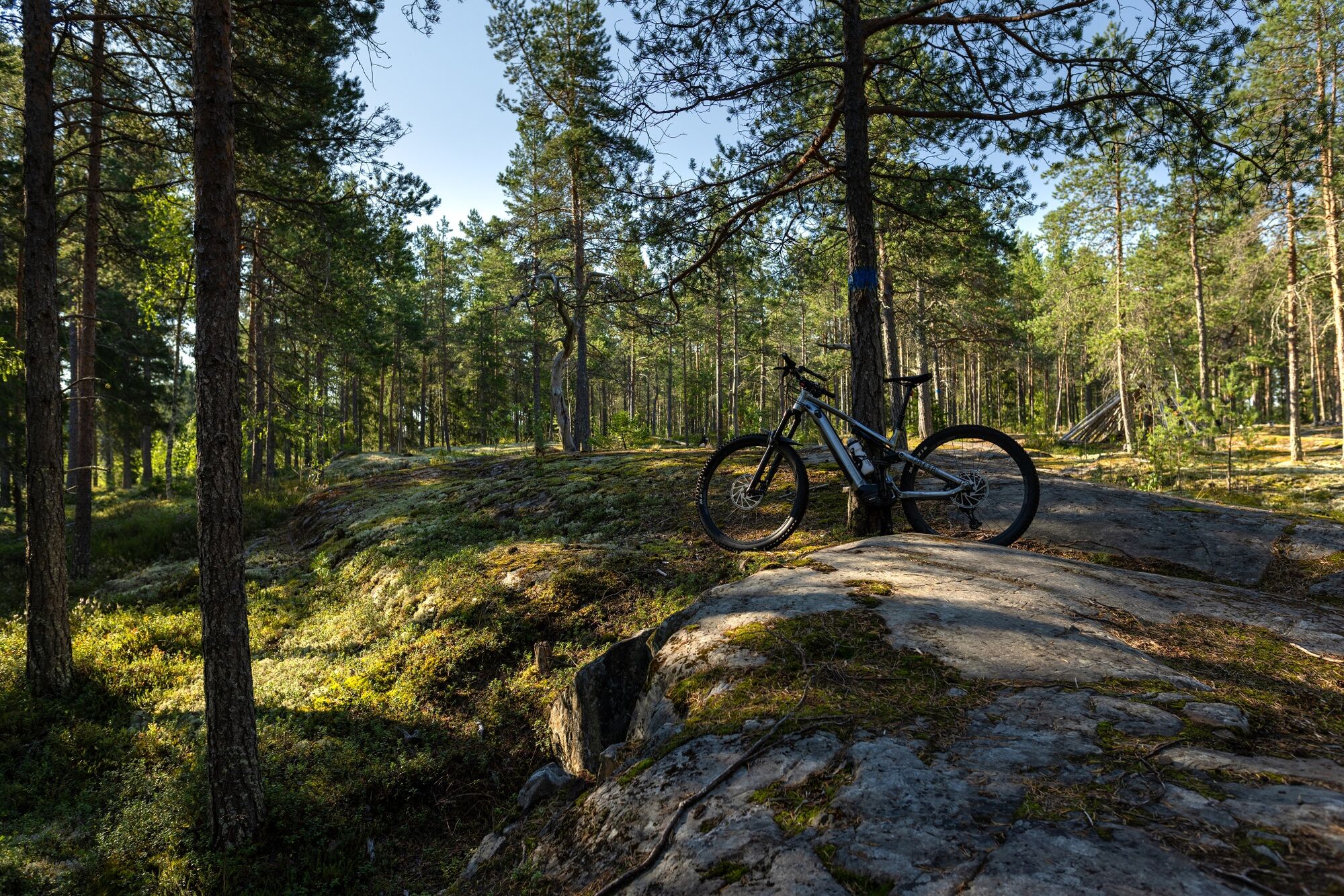
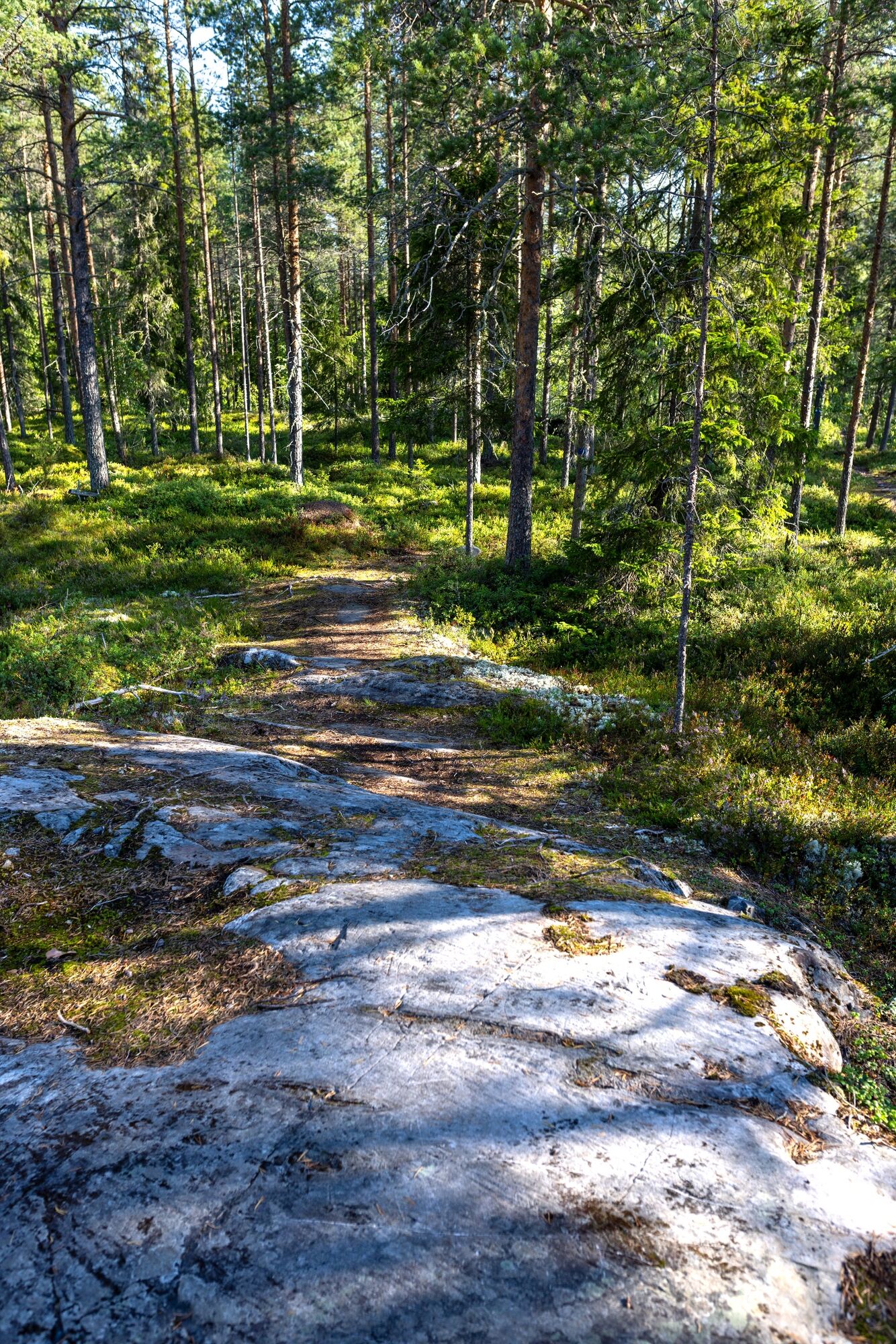
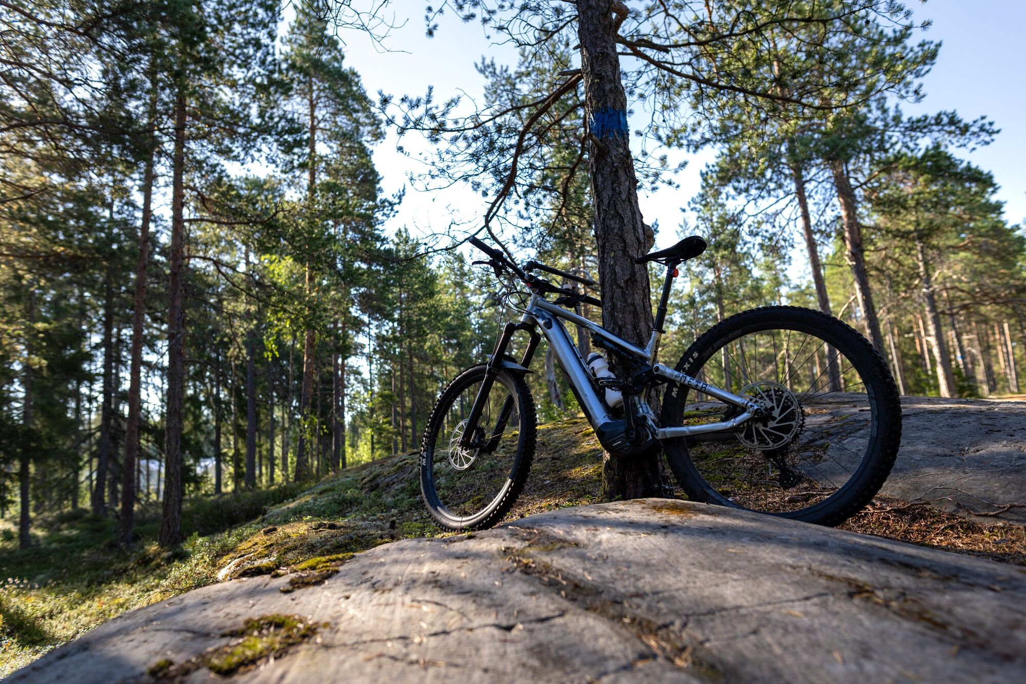
A versatile outdoor trail, suitable not only for mountain biking but also for trail running and hiking. You can find the trail easily by starting from the Himanka Sports Hall ski slope, where there is also a trail information board. There are options for 6 km and 12 km rounds, which you can cycle in either direction. The route is diverse and varies in technicality. For mountain bikers, the route offers challenges, making it not suitable for beginners.


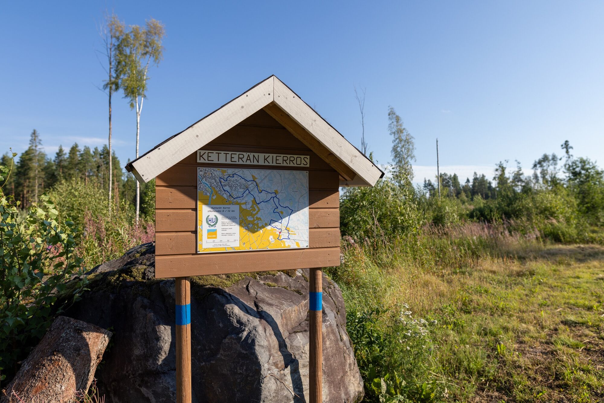


Reitille löydät helpoiten aloittamalla Himangan urheiluhallin hiihtokopilta, missä on myös reitin opastaulu. Toinen lähtöpaikka on Ketterän metsästysmajalta.
Rutas populares en los alrededores
-
Ruta natural por los acantilados de México
luzSenderismo 2,48 km -
The nature trail around Pitkäjärvi
Senderismo 6,82 km -
Naturetrail around Kivikangas and Pitkäjärvi
Senderismo 8,76 km -
Lohtajan kirkko - Lohtaja
luzCiclismo 30,9 km -
Lohtajan kirkko - Lohtaja
medioMountainbike 33,7 km -
Kokkola
medioCiclismo 32,4 km -
Kokkola
medioMountainbike 12,4 km -
Kokkola
medioSenderismo 2 km -
Kokkola
luzSenderismo 0,96 km -
Kokkola
luzSenderismo 7,77 km
Senderismo y rastreo


No se pierda las ofertas y la inspiración para sus próximas vacaciones
Su dirección de correo electrónico se ha añadido a la lista de correo.