Vörösfölddűlő - Felső-Ecset-hegy - Szakó-hegy - Szent Kereszt-templom
pesado
Navegue por
Navegue por
Consigue este tour en tu móvil
Vörösfölddűlő - Felső-Ecset-hegy - Szakó-hegy - Szent Kereszt-templom
pesado
Senderismo
29,67
km
Escanee el código QR e inicie la navegación en la aplicación bergfex

Senderismo y rastreo


Vörösfölddűlő - Felső-Ecset-hegy - Szakó-hegy - Szent Kereszt-templom
pesado
Distancia
29,67
km
Duración
08:13
h
Ascenso
1.118
m
Nivel del mar
134 -
708
m
Descarga de pistas
Vörösfölddűlő - Felső-Ecset-hegy - Szakó-hegy - Szent Kereszt-templom
pesado
Senderismo
29,67
km
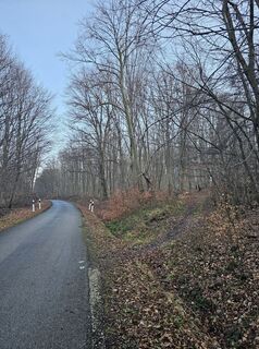
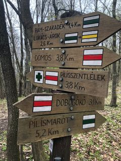
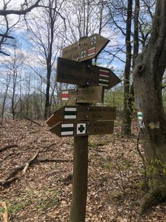
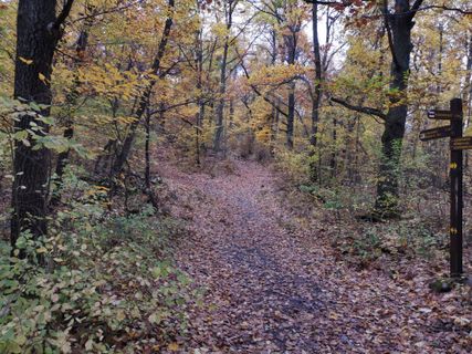
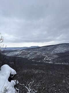
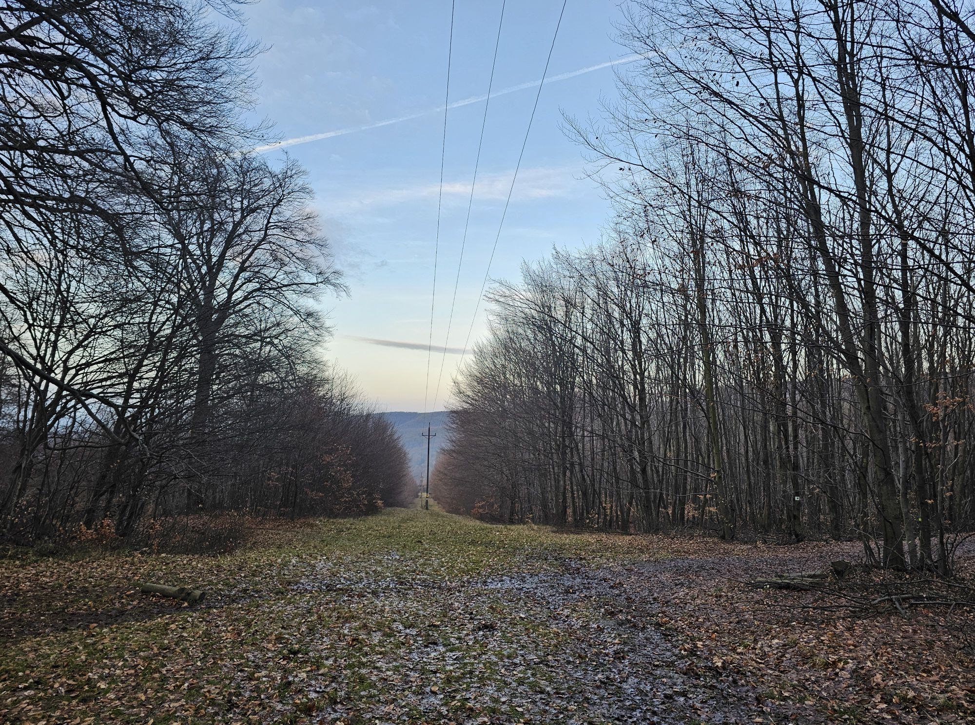
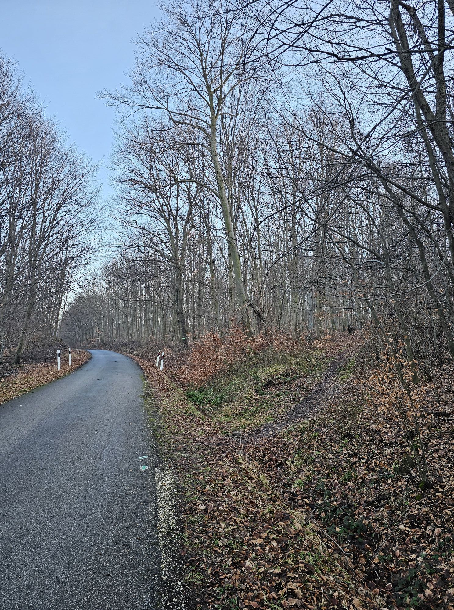
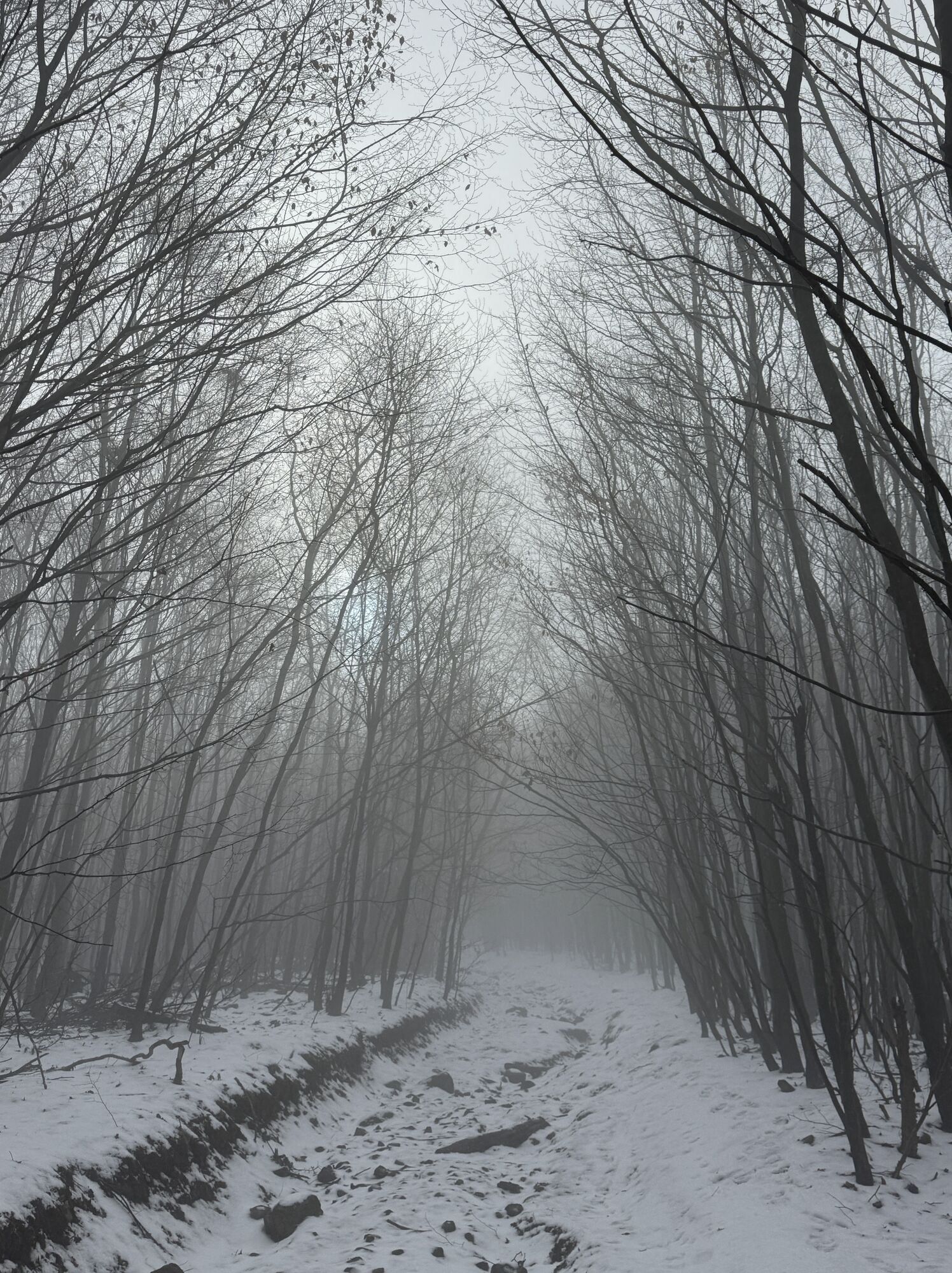
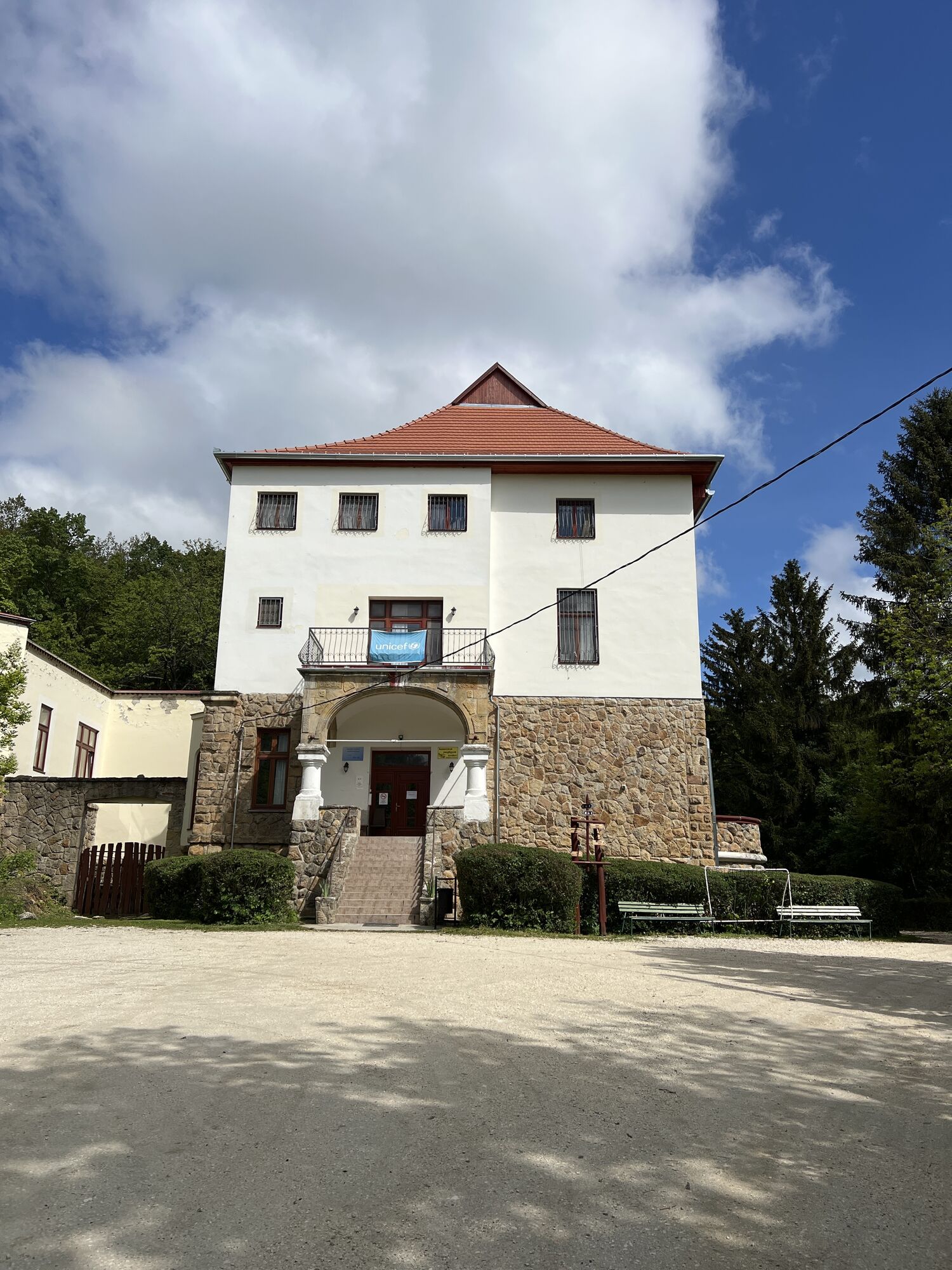
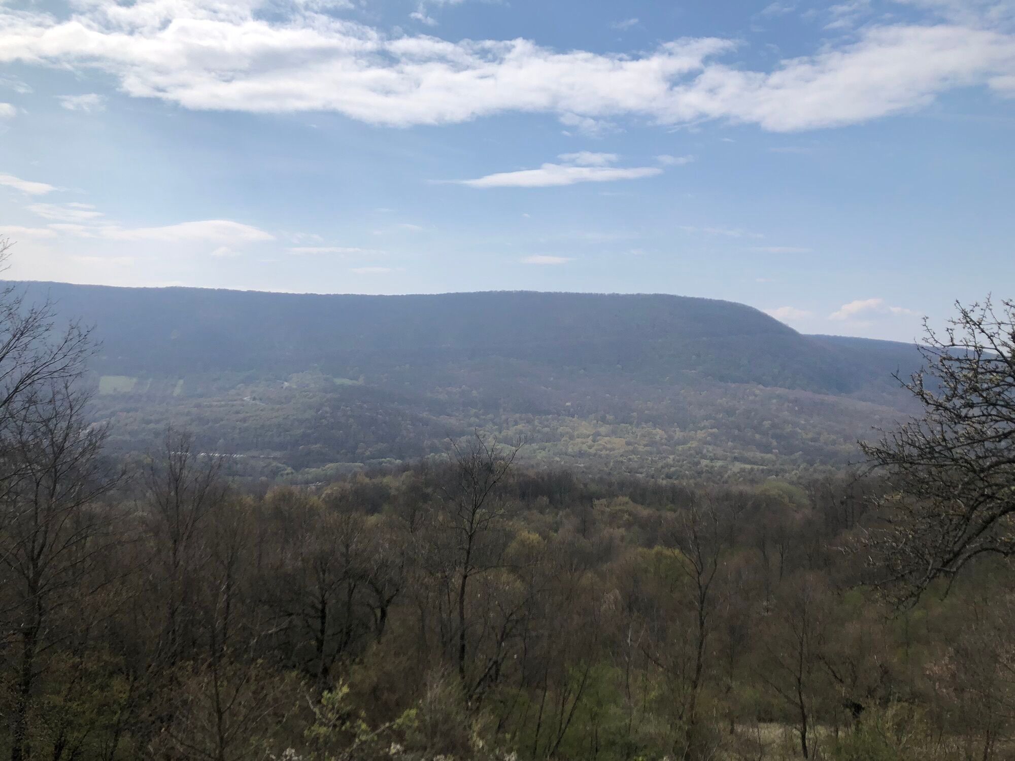
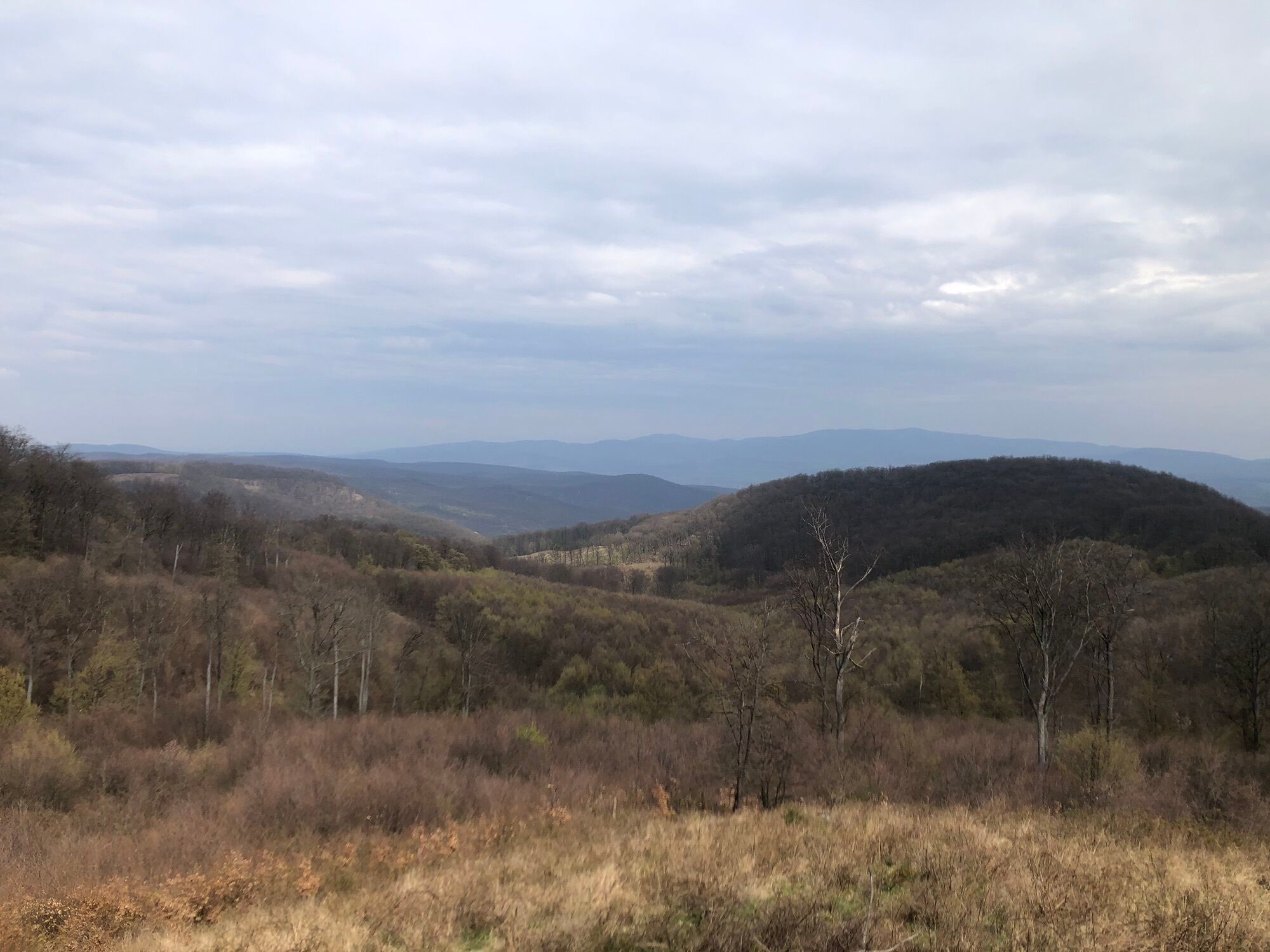
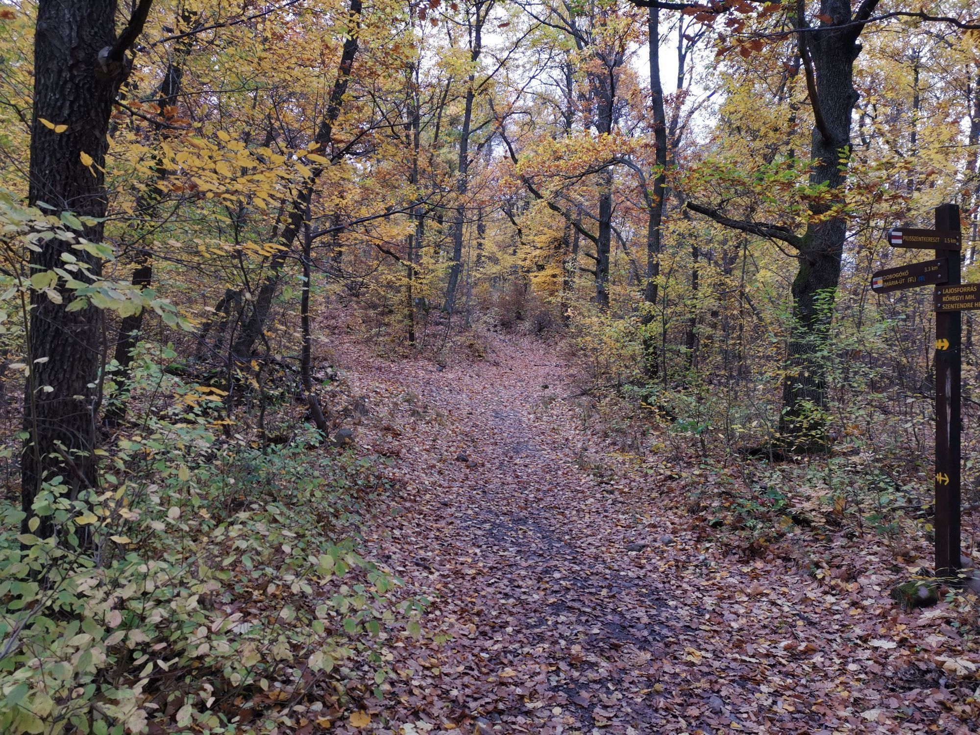
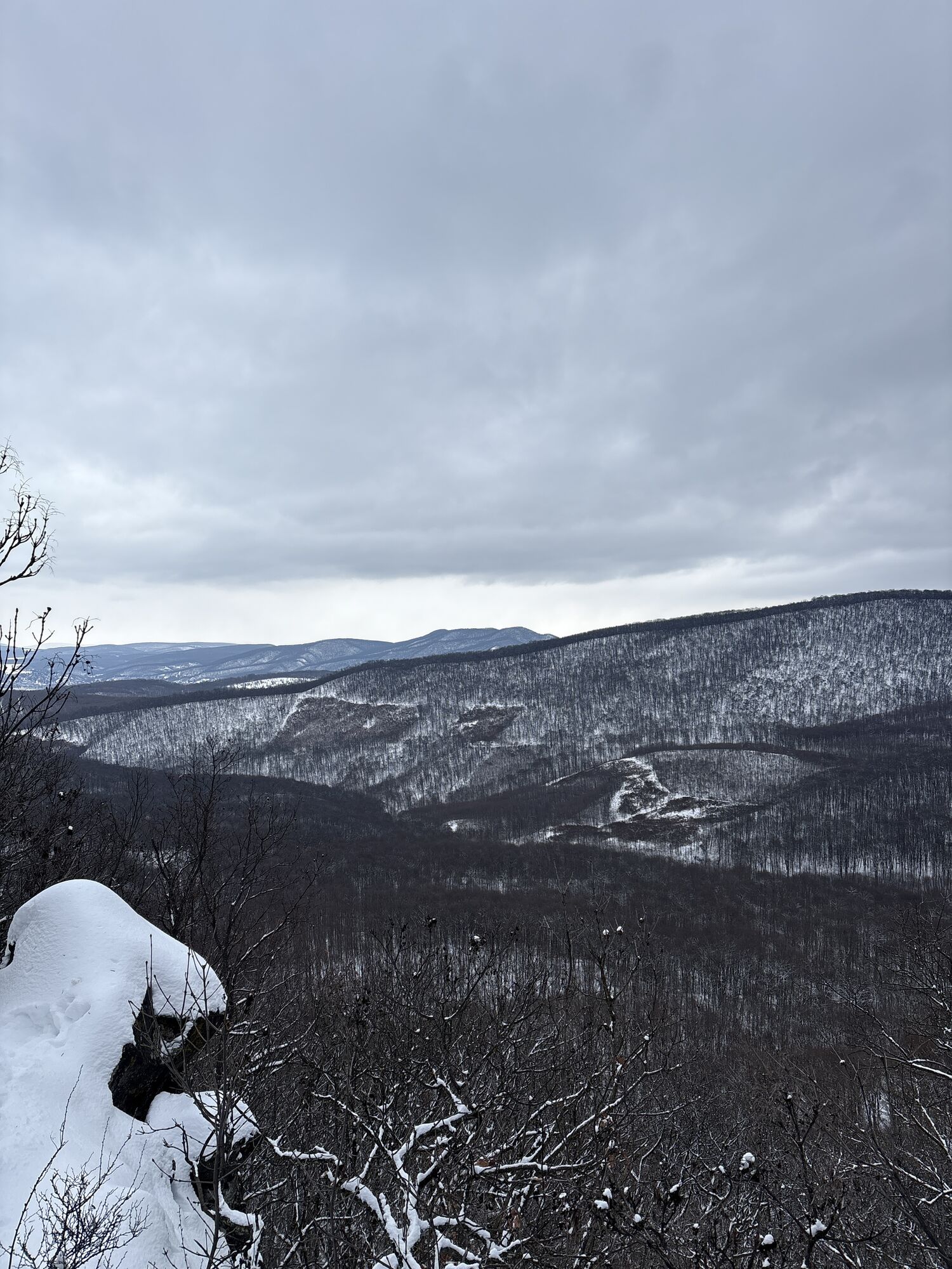
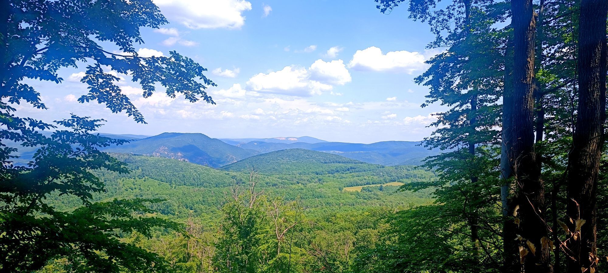
Fotos de nuestros usuarios
-

 © Attila BicskóCreado el 26.01.2025
 -
 © Attila BicskóCreado el 26.01.2025
 -
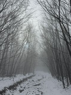
 © joeblack0306Creado el 25.01.2025
 -

 © Levente NémethCreado el 21.04.2024
 -
 © Gergő PavlikCreado el 10.04.2023
 -
 © Gergő PavlikCreado el 10.04.2023
 -
 © Gergő PavlikCreado el 10.04.2023
 -
 © Gergő PavlikCreado el 10.04.2023
 -
 © Ferenc KissCreado el 01.11.2020
 -
 © István RabCreado el 11.01.2026
 -

 © karazoltanCreado el 01.06.2025


Ruta
Magas-hegy nyereg
(405 m)
Sillín de montaña
1,1 km
Szopláki-ördöglyuk
(487 m)
Entrada de la cueva
4,2 km
Alsó-Ecset-hegy
(452 m)
Cumbre
10,5 km
Szakó-hegy
(570 m)
Cumbre
21,3 km
Dobogókő
(697 m)
Liquidación
25,2 km
Pilisszentkereszt
(340 m)
Pueblo
28,9 km
Szent Kereszt-templom
(342 m)
Lugar de culto
29,2 km
Ruta
Vörösfölddűlő - Felső-Ecset-hegy - Szakó-hegy - Szent Kereszt-templom
pesado
Senderismo
29,67
km
Vörösfölddűlő
(294 m)
Barrio
0,0 km
Pázsity
(331 m)
Barrio
0,4 km
Magas-hegy nyereg
(405 m)
Sillín de montaña
1,1 km
Mária-pad
(445 m)
Corredor/terreno
3,7 km
Szopláki-ördöglyuk
(487 m)
Entrada de la cueva
4,2 km
Mexikó-puszta Pro Silva Bemutató Terület
(495 m)
Corredor/terreno
6,7 km
Felső-Ecset-hegy
(478 m)
Cumbre
9,6 km
Alsó-Ecset-hegy
(452 m)
Cumbre
10,5 km
Hirsch-orom
(414 m)
Cumbre
10,7 km
Aranka-forrás
(234 m)
Fuente
12,7 km
Szakó-hegy
(570 m)
Cumbre
21,3 km
Szakó-nyereg
(510 m)
Sillín de montaña
21,8 km
Dobogókő
(697 m)
Liquidación
25,2 km
Fagyos-Katona
(523 m)
Corredor/terreno
27,5 km
Emma Vendéglő
(345 m)
Restaurante
28,5 km
Pilisszentkereszt
(340 m)
Pueblo
28,9 km
Kislugas panzió és vendéglő
(341 m)
Restaurante
29,0 km
Szent Kereszt-templom
(342 m)
Lugar de culto
29,2 km
Autor
Proporcionado por Bergfex Tour Generator
Compartir gira
Vörösfölddűlő - Felső-Ecset-hegy - Szakó-hegy - Szent Kereszt-templom
pesado
Senderismo
29,67
km
Error
Se ha producido un error. Por favor, inténtelo de nuevo.
Aún no hay opiniones
Rutas populares en los alrededores
-
4,9
Rám szakadék
luzSenderismo 9,65 km -
4,8
Spartacus-ösvény
medioSenderismo 14,8 km -
4,9
Kemény
medioSenderismo 11,7 km -
4,9
Pilisszentlászló - Király-kút
luzSenderismo 13,7 km -
4,9
Anna-völgyi vízesés - Kő-hegy - Czibulka János Kőhegyi Menedékház - Szentendre
luzSenderismo 6,22 km -
4,6
Pilisszentkereszt - Pilis - László-kúpja - Pilisszántó
luzSenderismo 12,9 km -
5,0
Remete barlang
pesadoSenderismo 14,4 km -
5,0
Nagymaros Juliánusz kilátó nagy kör
luzSenderismo 7,01 km -
5,0
Dömös-Vadálló kövek-Prédikálószék-Dömös
medioSenderismo 16,8 km -
4,8
Zebegény - Hegyes-tető - Remetekereszt-bérc
medioSenderismo 11,2 km

Senderismo y rastreo

Más de 550.000 sugerencias de excursiones, mapas detallados y un intuitivo planificador de rutas hacen de esta aplicación una herramienta imprescindible para todos los amantes de la naturaleza.

No se pierda las ofertas y la inspiración para sus próximas vacaciones
Suscribirse al boletín de noticias
Error
Se ha producido un error. Por favor, inténtelo de nuevo.
Gracias por inscribirse
Su dirección de correo electrónico se ha añadido a la lista de correo.
Viajes por Europa
Austria
Suiza
Alemania
Italia
Eslovenia
Francia
Países Bajos
Belgium
Polonia
Liechtenstein
República Checa
Slovakia
España
Croacia
Bosnia y Herzegovina
Luxemburgo
Andorra
Portugal
Iceland
United Kingdom
Ireland
Greece
Albania
North Macedonia
Malta
Norway
Montenegro
Moldova
Kosovo
Hungary
San Marino
Romania
Estonia
Latvia
Belarus
Cyprus
Lithuania
Serbia
Bulgaria
Monaco
Denmark
Sweden
Finland