




Scenic route Tour de Vääksy 58km
A magnificent scenic route that starts from Vääksy. During the route you can see, for example, the ridge islands of Pulkkilanharju and the underwater ridge ridges!

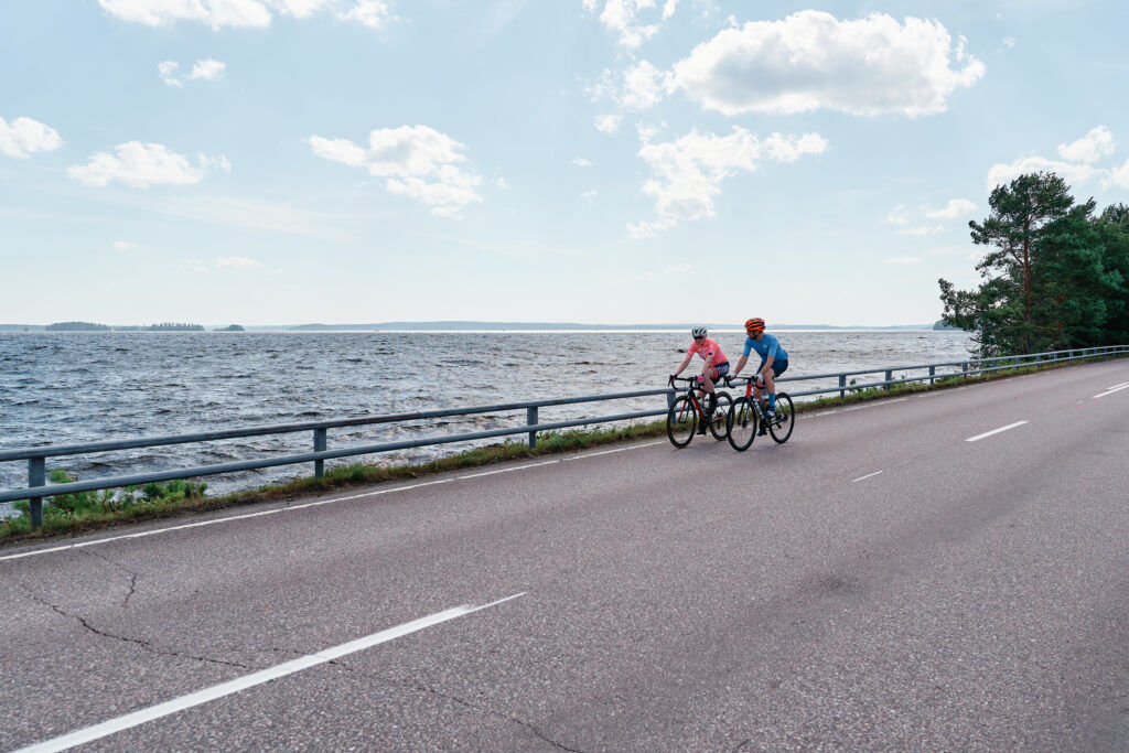
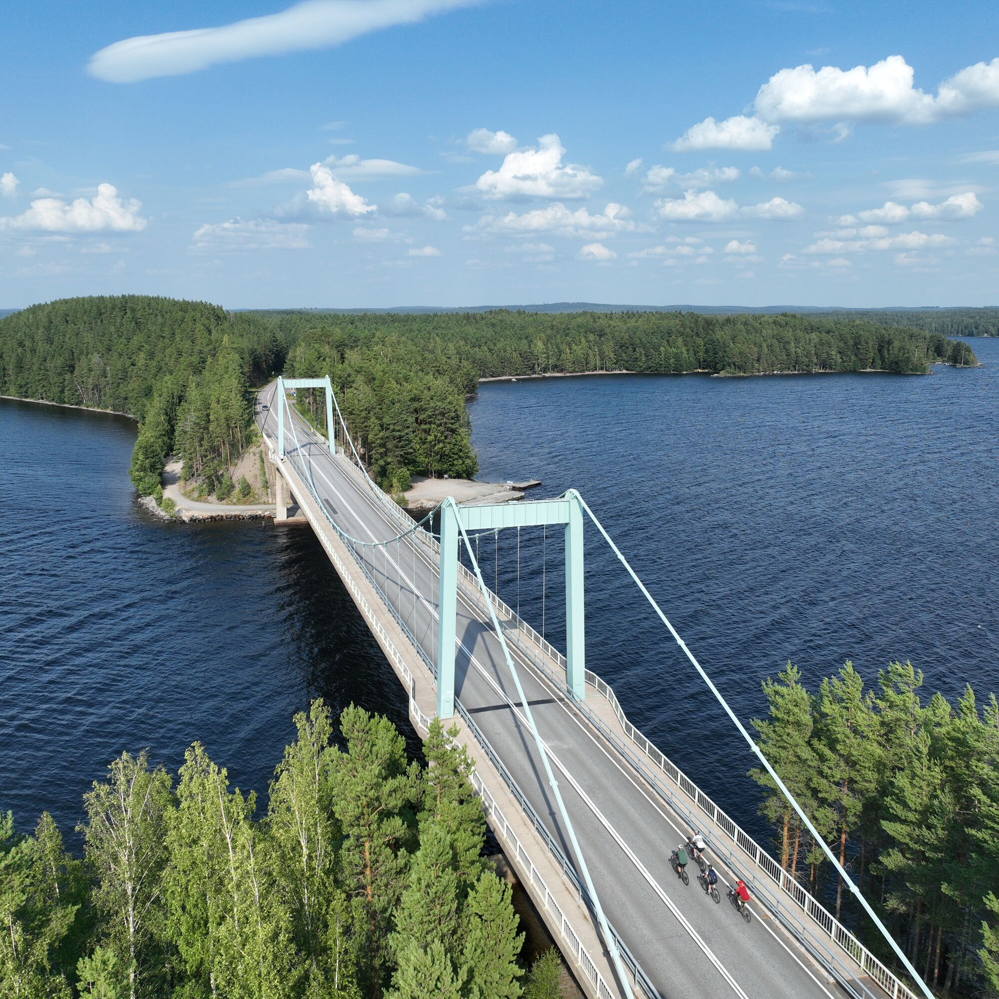


When the traveller has the patience to leave Pulkkilanharju behind, it is time to head east towards Kalkkinen. The village of Kalkkinen and the legendary Mani-Bar welcome cyclists. After a little refuelling, we start driving along Kopsuontie, which offers a nice bend, hill and landscape – this is Lahti region road cycling at its best!
Kopsuontie ends at Vesivehmaa at the Second Salpausselkä, from where the front of the bike is turned back towards Asikkala. You arrive here after 58 kilometers, where every kilometer driven is a diamond.
Sí
Some parts of the tour may be unpaved and difficult to ride.
Free parking in the Päijännetalo parking lot at Meijeritie 1, 17200 Asikkala

Rutas populares en los alrededores
-
Sendero natural Pulkkilanharju (4,7 km), Parque Nacional Päijänne
luzSendero temático 4,72 km -
Sendero natural de Pulkkilanharju (2,4 km), Asikkala
luzSendero temático 2,35 km -
Ruta Kultaisen Tassun, Asikkala
luzSenderismo 1,95 km -
Ruta cultural - Historia industrial en el corazón de la naturaleza
Motocicleta 156,7 km -
Ruta del período glacial de Asikkala en bicicleta
medioCiclismo 78,8 km -
Recorrido alrededor de Varjansaari, Asikkala
luzKayak / Canoa 8,80 km -
Dos Canales, Lahti-Heinola
pesadoKayak / Canoa 72,0 km -
Sendero natural de Salonsaari, Asikkala
luzSendero temático 3,21 km -
Vesijärvi desde Hollola a Asikkala
medioKayak / Canoa 22,9 km -
The Industrial history in the lap of nature - Cultural route by bicycle
Ciclismo 156,7 km
Senderismo y rastreo


No se pierda las ofertas y la inspiración para sus próximas vacaciones
Su dirección de correo electrónico se ha añadido a la lista de correo.





