






SwitzerlandMobility 902: Reiatweg

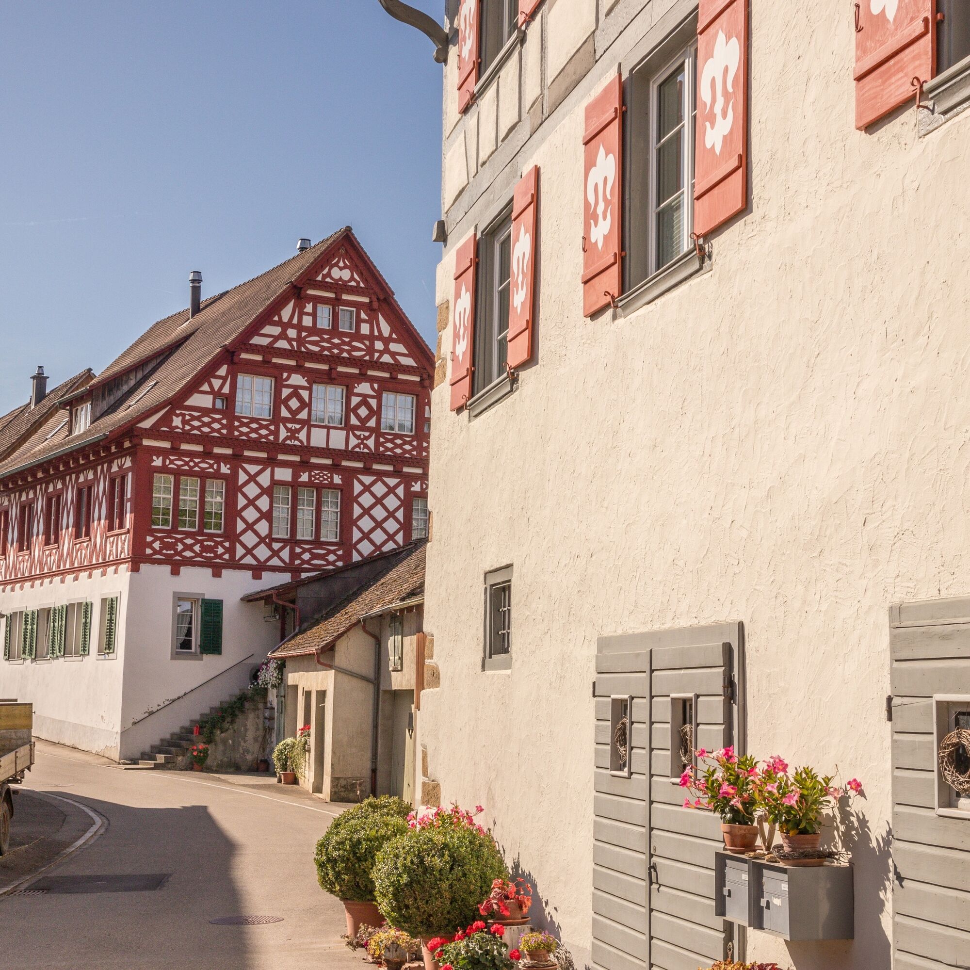
The Reiat is located in the northernmost part of Switzerland. A partly hilly region with plenty of unspoilt nature and small villages with characteristic village centres and old half-timbered houses.
The...
The Reiat is located in the northernmost part of Switzerland. A partly hilly region with plenty of unspoilt nature and small villages with characteristic village centres and old half-timbered houses.
The recommended starting point for the Reiat Trail is the municipality of Thayngen, which is also the main town in the Schaffhausen Reiat.
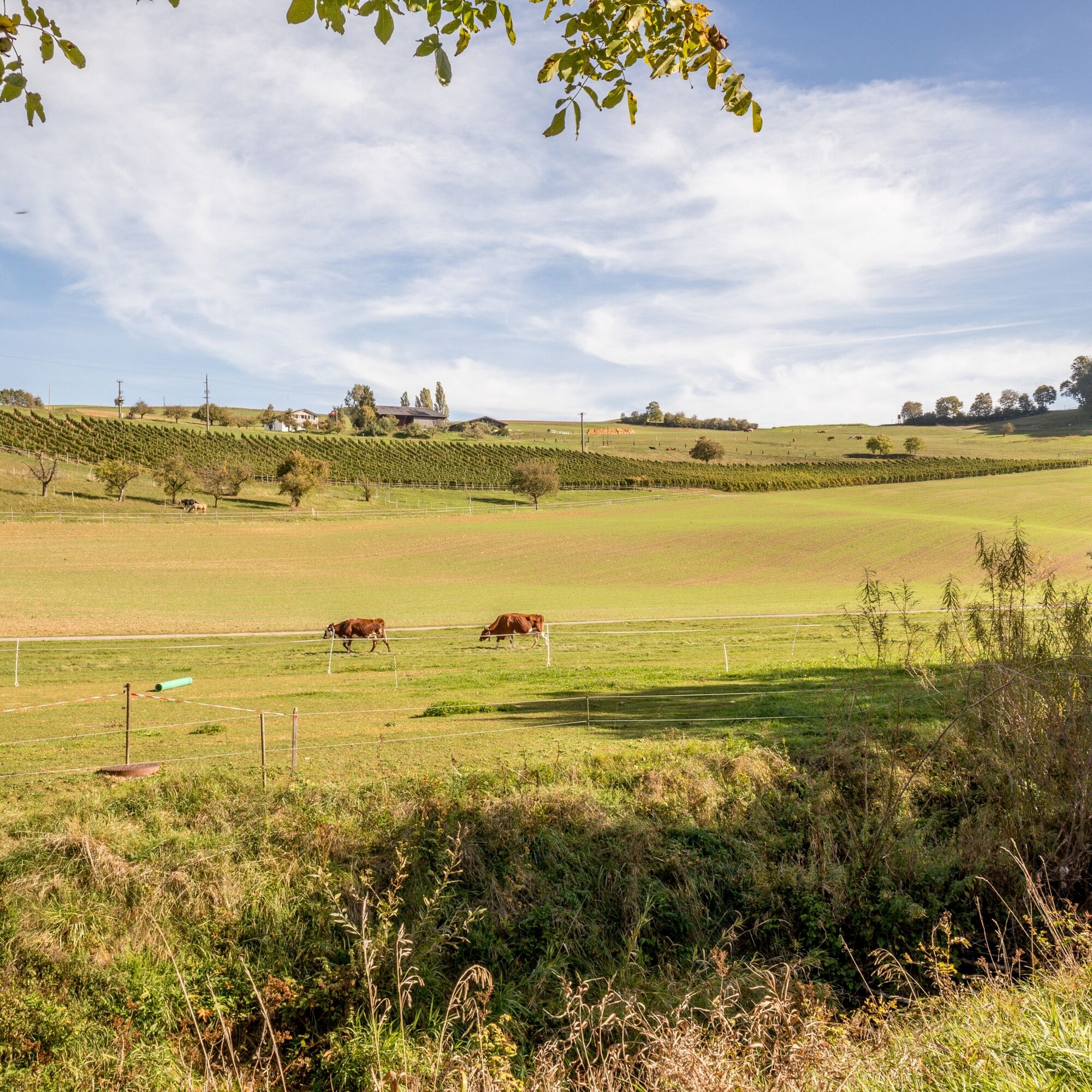
During this hike, mixed forests, vineyards, fields and meadows alternate again and again. After a gentle ascent through the Bibertal valley, you reach the hills of the Hegau.
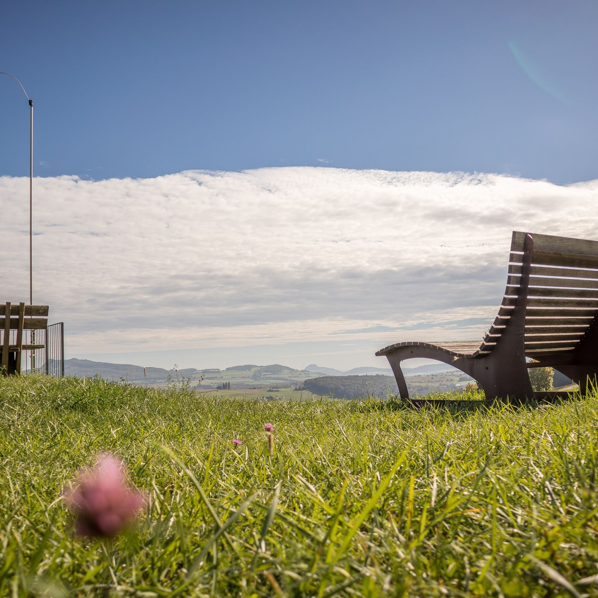
From here, you can enjoy an unforgettable panoramic view from the volcanoes in Hegau across the Mittelland to the Swiss Alps.
This view is best enjoyed lying on the "Reiatraum loungers" at the "Chuttler" barbecue site or on the spacious terrace of the Restaurant Reiatblick in Opfertshofen.
You can reach Switzerland's northernmost vineyard slope in the municipality of Altdorf along old smugglers' paths. The calcareous soils here offer excellent conditions for the vines and the winegrowers to later press one of the famous full-bodied and fruity Schaffhausen Pinot Noirs.
The route leads back to the starting point in Thayngen along narrow paths.



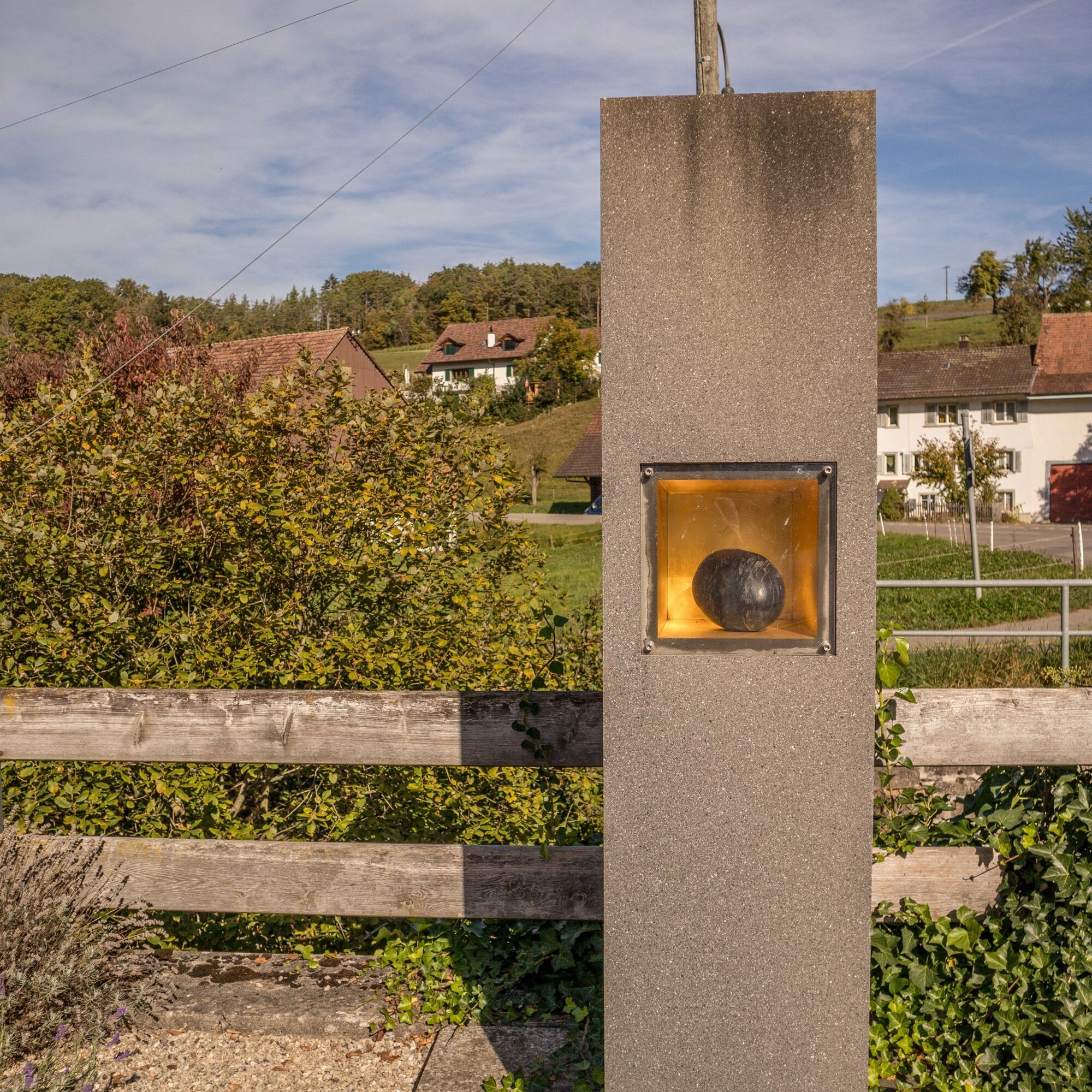





The recommended starting point for the Reiatweg is the municipality of Thayngen, which is also the main town in the Schaffhausen Reiat.
During this hike, mixed forests, vineyards, fields and meadows alternate again and again. After a gentle ascent through the Bibertal valley, you reach the hills of the Hegau.
From here, you can enjoy an unforgettable panoramic view from the volcanoes in Hegau across the Mittelland to the Swiss Alps.
This view is best enjoyed lying on the "Reiatraum loungers" at the "Chuttler" barbecue site or on the spacious terrace of the Restaurant Reiatblick in Opfertshofen.
You can reach the northernmost vineyard slope in Switzerland in the municipality of Altdorf along old smugglers' paths. The calcareous soils here offer excellent conditions for the vines and the winegrowers to later press one of the famous full-bodied and fruity Schaffhausen Pinot Noirs.
The route leads back to the starting point in Thayngen along narrow paths.
Good footwear, drinks and snacks for in between.
Starting point: Thayngen Hüttenleben bus stop
Route planner
Starting point: Thayngen Hüttenleben bus stop
From Schaffhausen: departs once an hour, duration 26 min. (change from train to bus at Thayngen railway station)
A few car parks available on site.
From the "Chuttler" barbecue area, you can enjoy the unique view from the "Reiatraum loungers".
Swimming pool, Thayngen
Rutas populares en los alrededores
-
4,7
Pequeño recorrido de la Catarata del Rin
luzSenderismo 3,48 km -
4,8
"Hegauer Kegelspiel" Alter Postweg
medioSenderismo 9,26 km -
3,8
"Hegauer Kegelspiel" ruta Wannenberg
medioSenderismo 9,35 km -
Senda circular Schaffhausen - Cataratas del Rin - Schaffhausen
medioSenderismo 10,0 km -
5,0
"Hegauer Kegelspiel" Stettener Panoramaweg
medioSenderismo 7,62 km -
5,0
Vulkansee Höwenegg Rundweg
luzSenderismo 7,05 km -
SchweizMobil 896: recorrido circular Rheinfall
medioSenderismo 7,39 km -
5,0
Caminata circular por el Hinterranden
medioSenderismo 11,0 km -
4,5
Sendero natural Merishausen: Ruta Braun
medioSendero temático 11,4 km -
4,5
SchweizMobil 593: Nordspitze Panoramaweg
medioSenderismo 13,7 km
Senderismo y rastreo


No se pierda las ofertas y la inspiración para sus próximas vacaciones
Su dirección de correo electrónico se ha añadido a la lista de correo.





