
Glarner Alpen.
luz
Consigue este tour en tu móvil
Glarner Alpen.
luz
Senderismo
17,43
km
Escanee el código QR e inicie la navegación en la aplicación bergfex


Senderismo y rastreo





Glarner Alpen.
luz
Distancia
17,4
km
Duración
04:23
h
Ascenso
973
m
Nivel del mar
849 -
1.755
m

Navega por tu recorrido en la aplicación
Instala la aplicación de forma gratuita y no pierdas de vista la ruta, con navegación por GPS y seguimiento.
Usa ya « bergfex » en la aplicación
Escanea el código QR con tu cámara
Una vez instalada la aplicación, el contenido se abre directamente. Si aún no tienes la aplicación, podrás descargarla de forma gratuita.
Descarga de pistas
Glarner Alpen.
luz
Senderismo
17,43
km
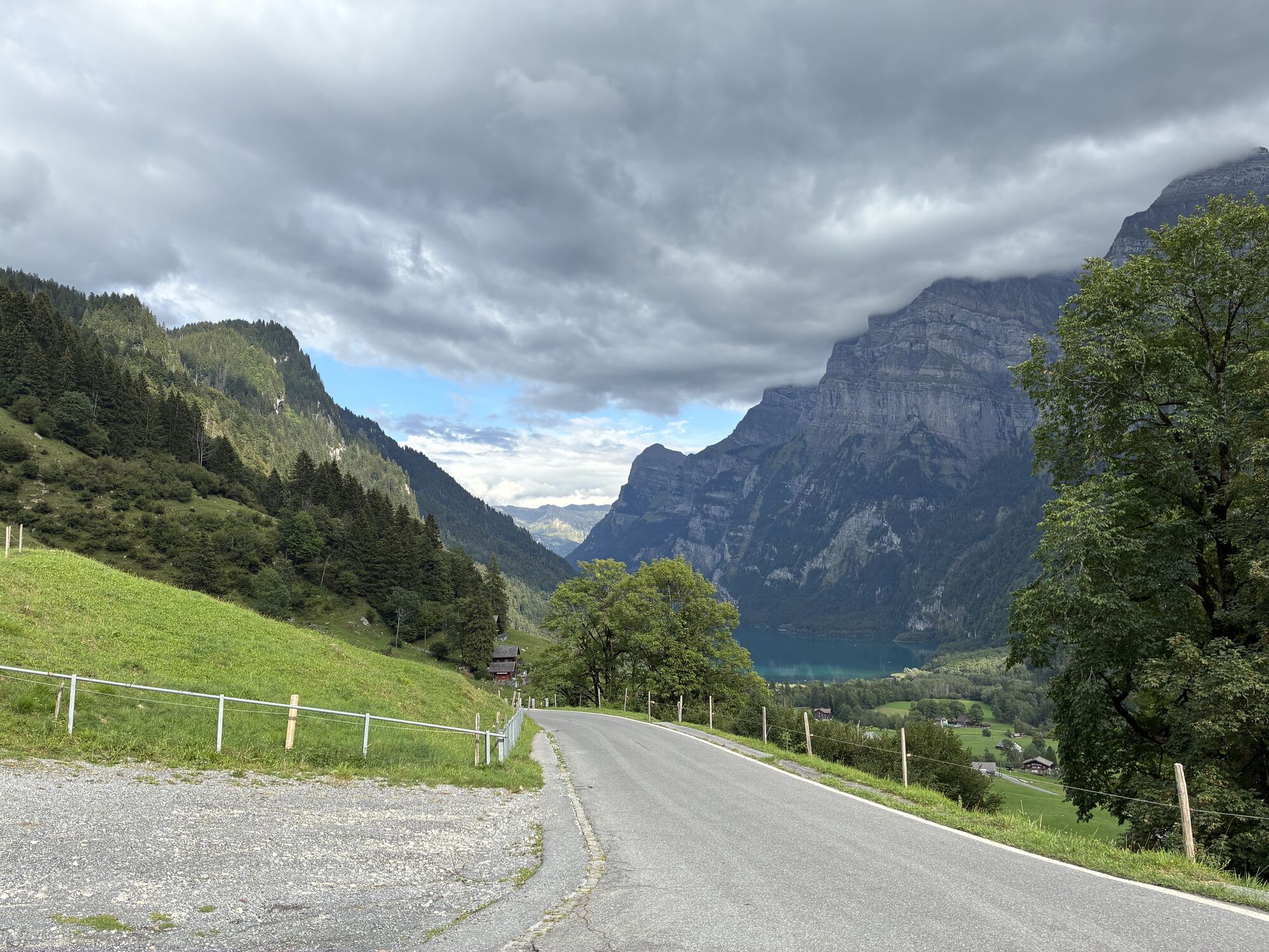
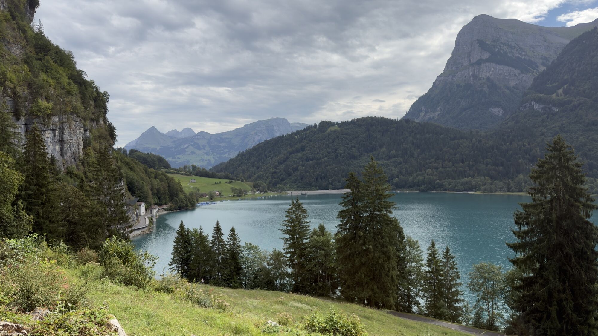
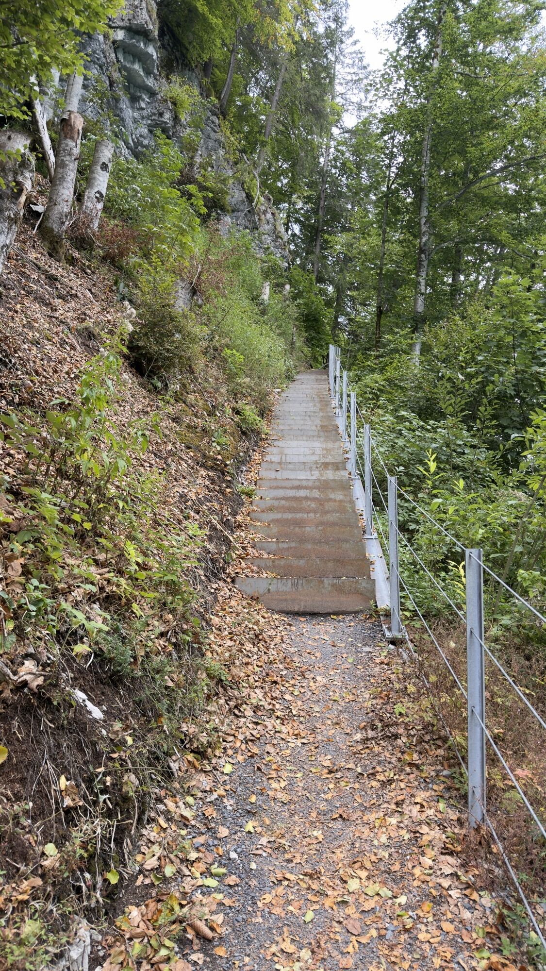
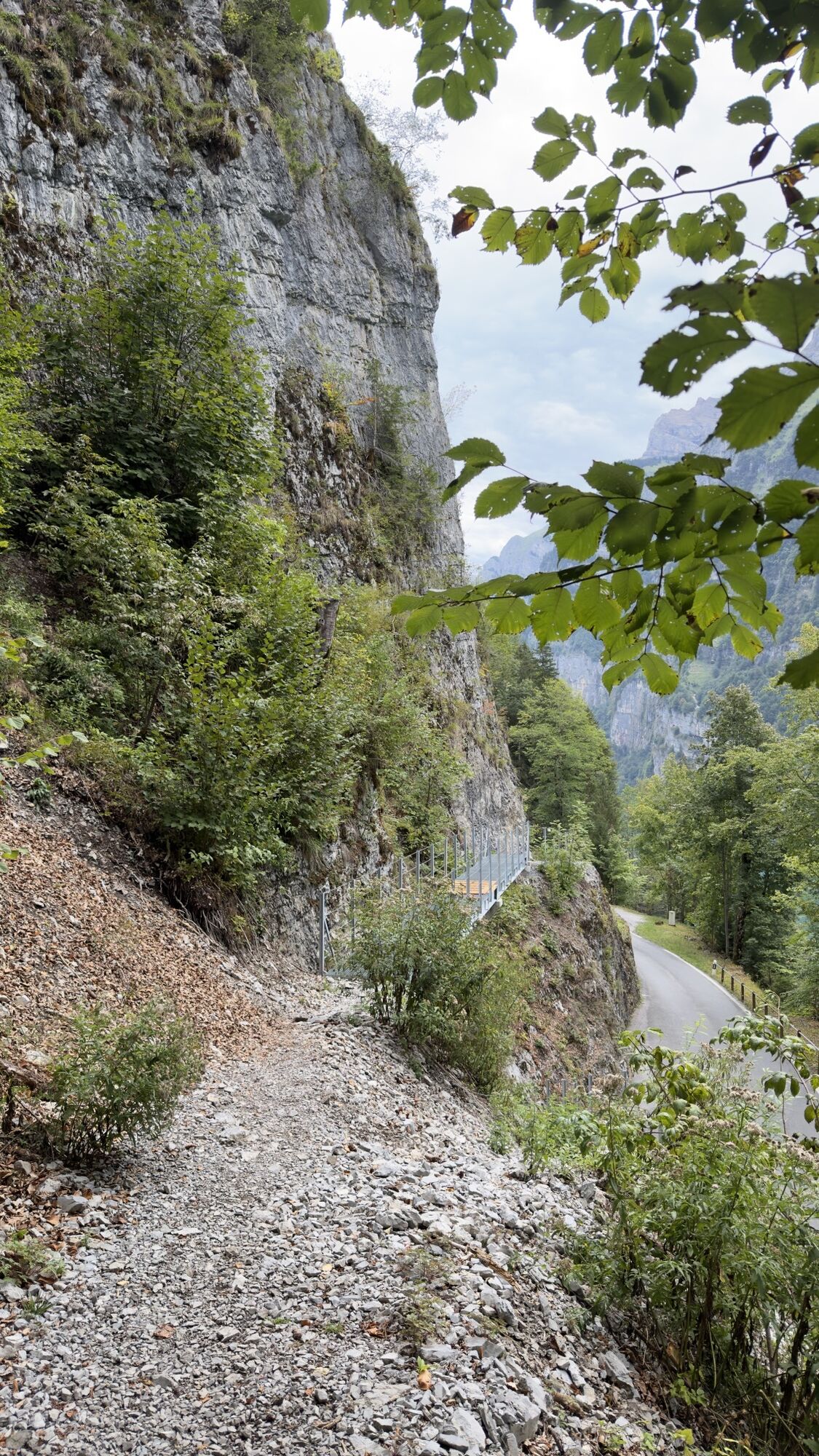
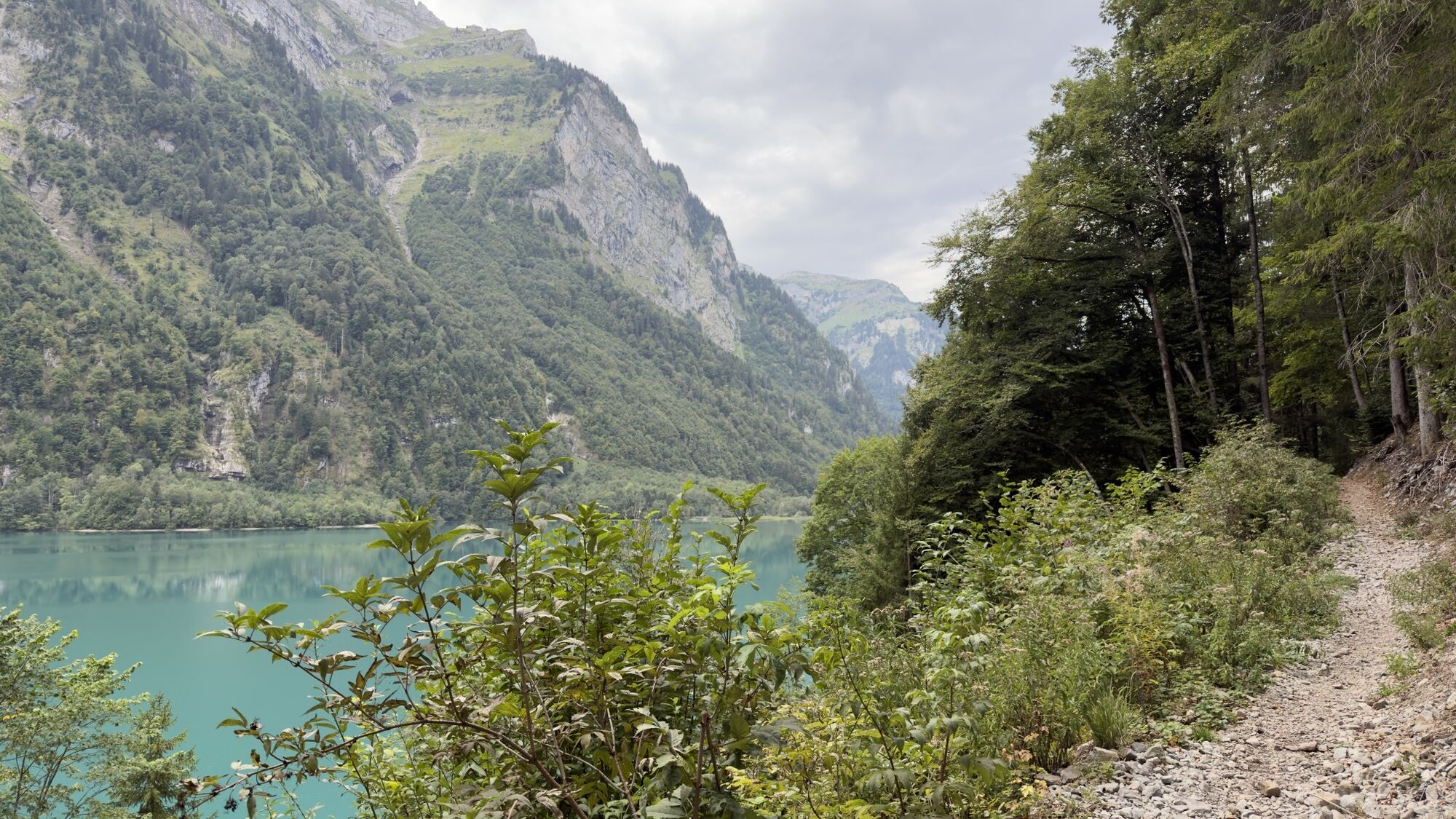
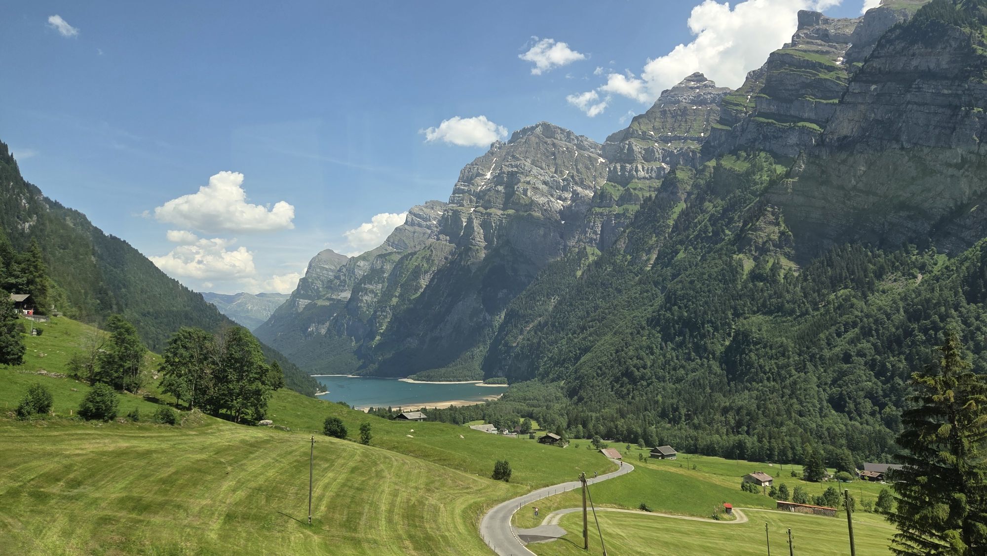
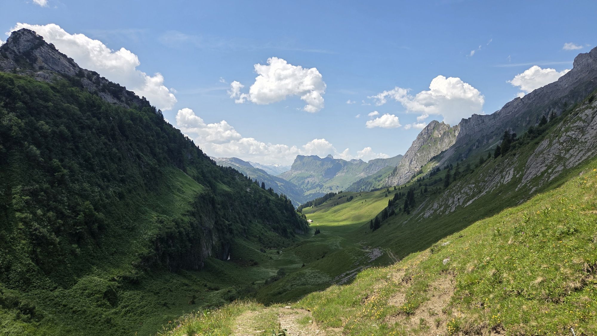
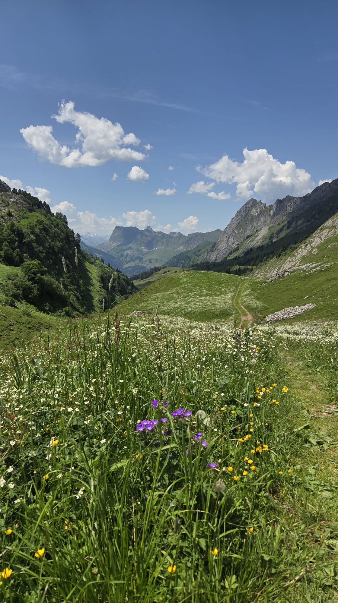
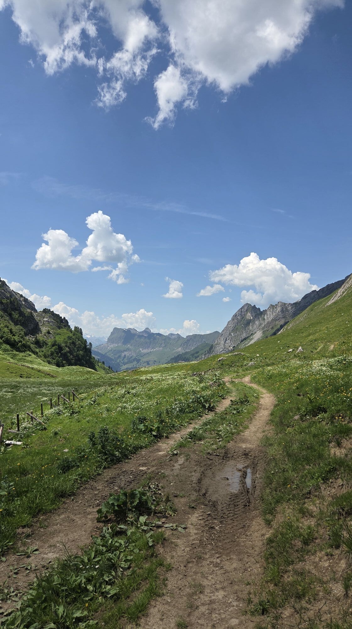
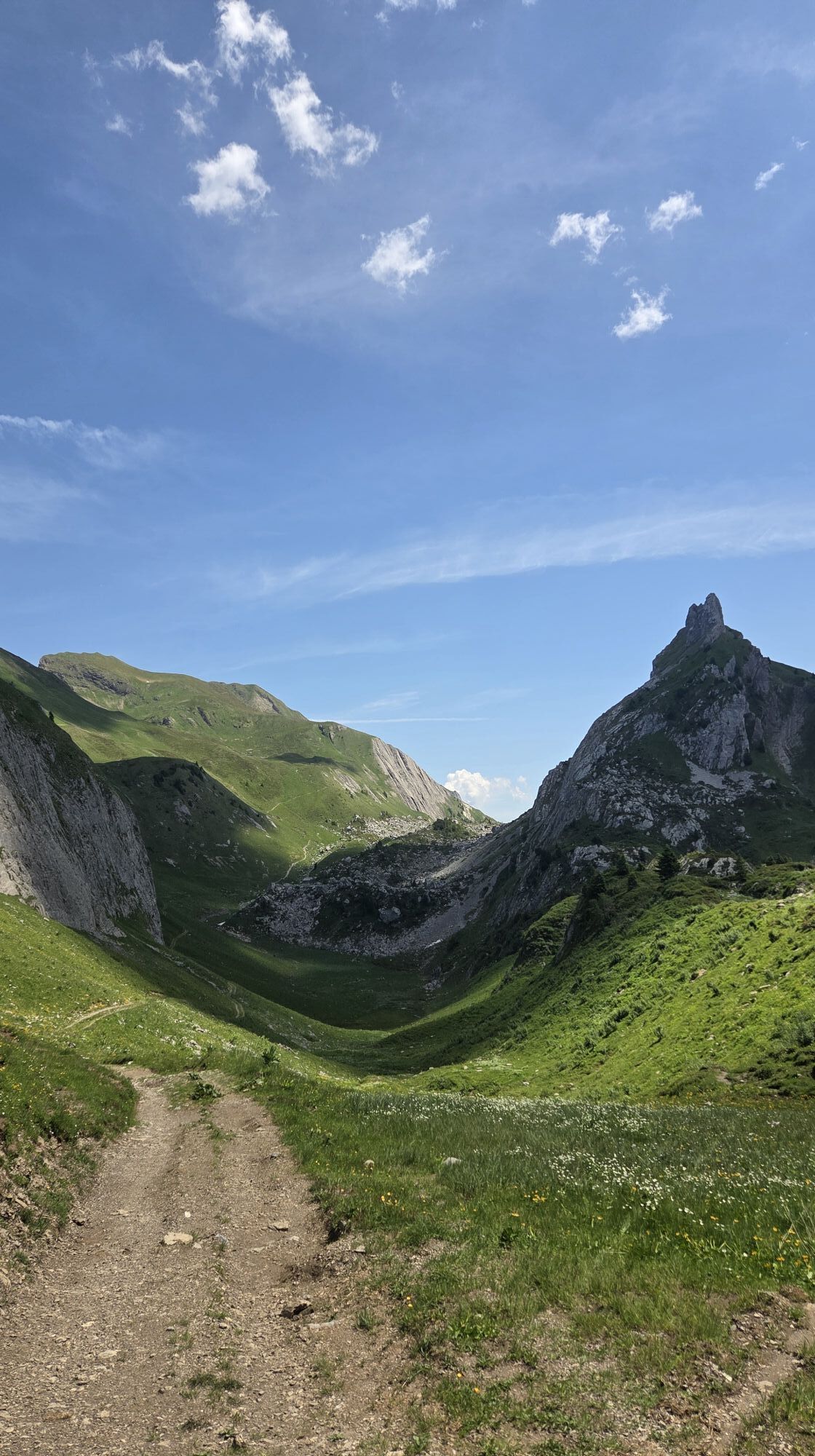
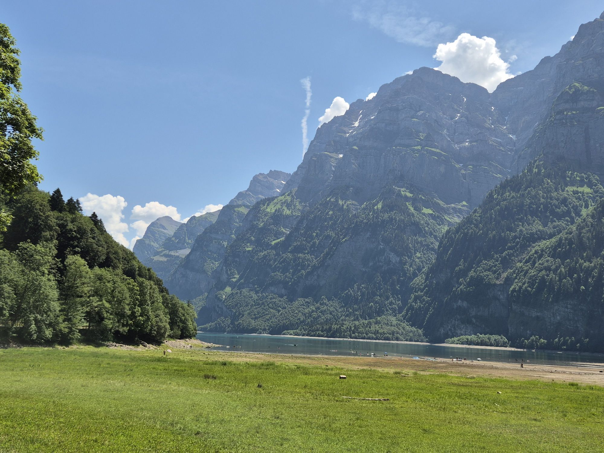
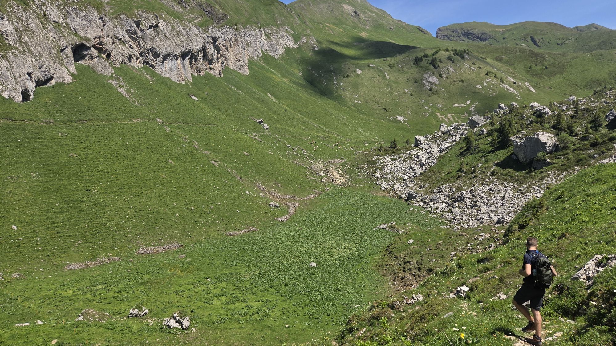
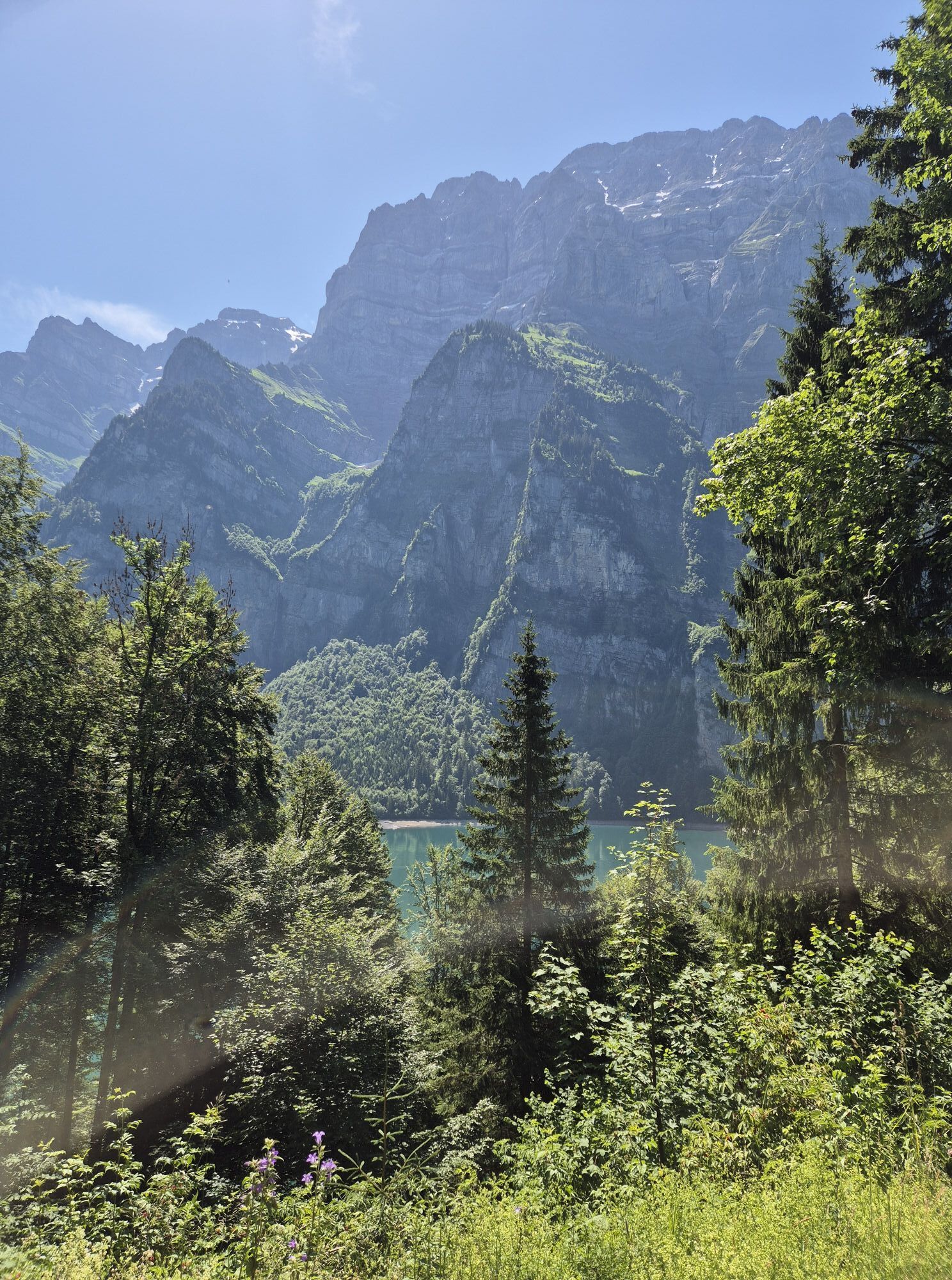
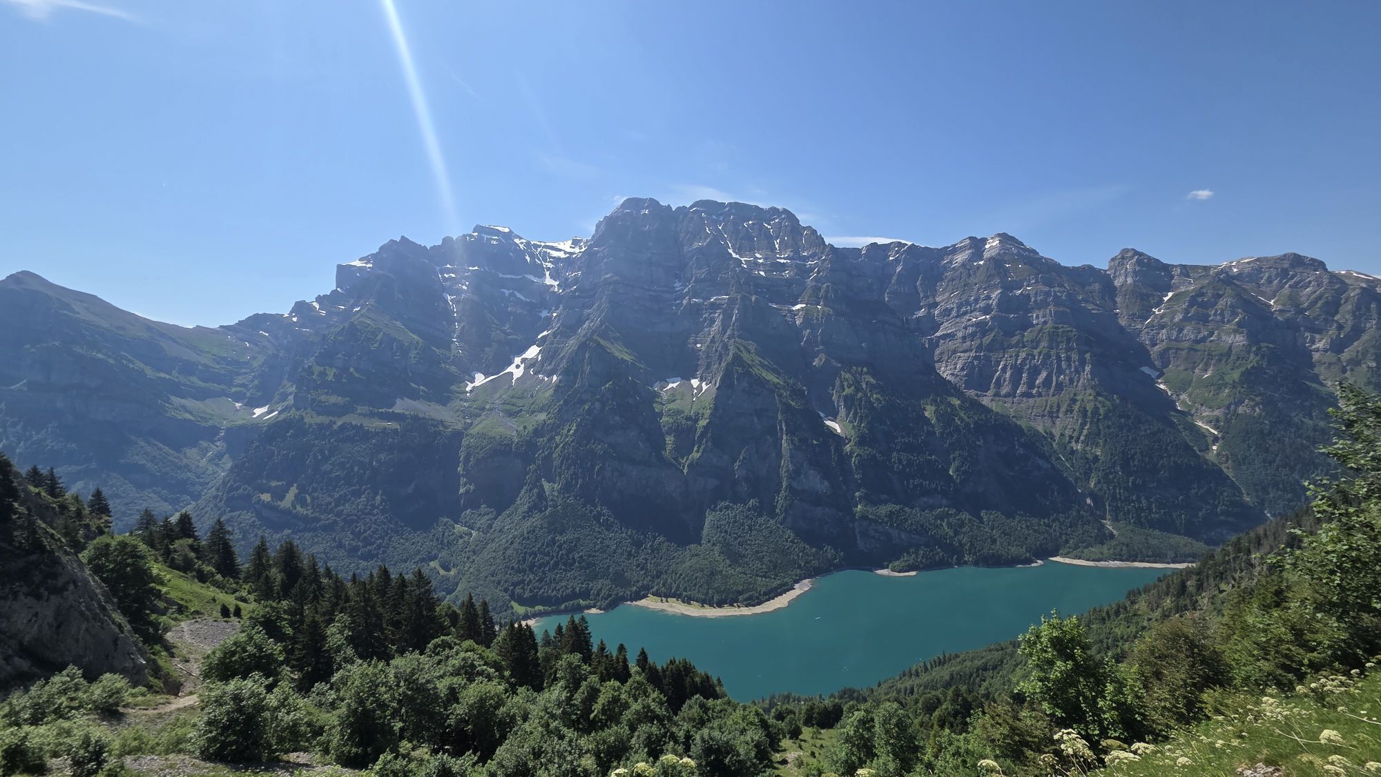
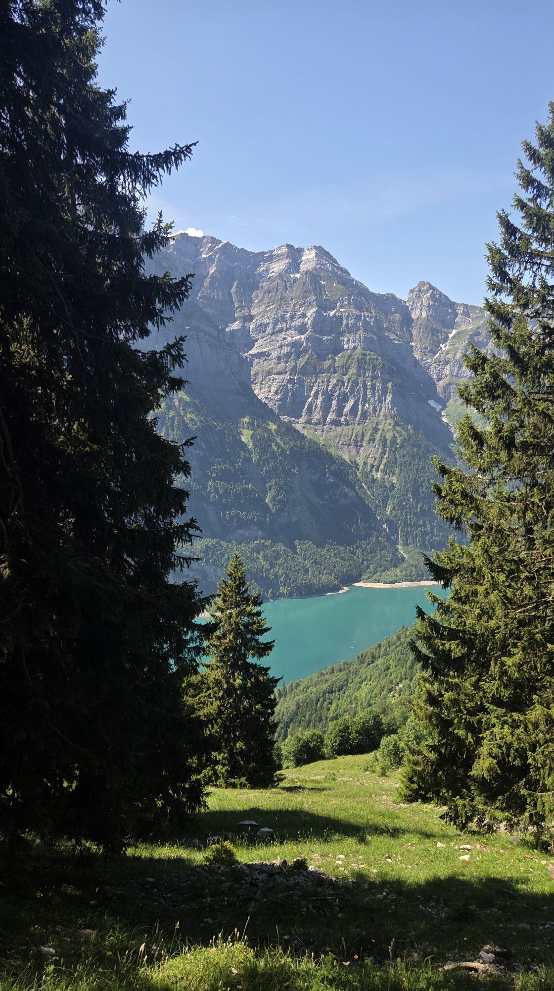
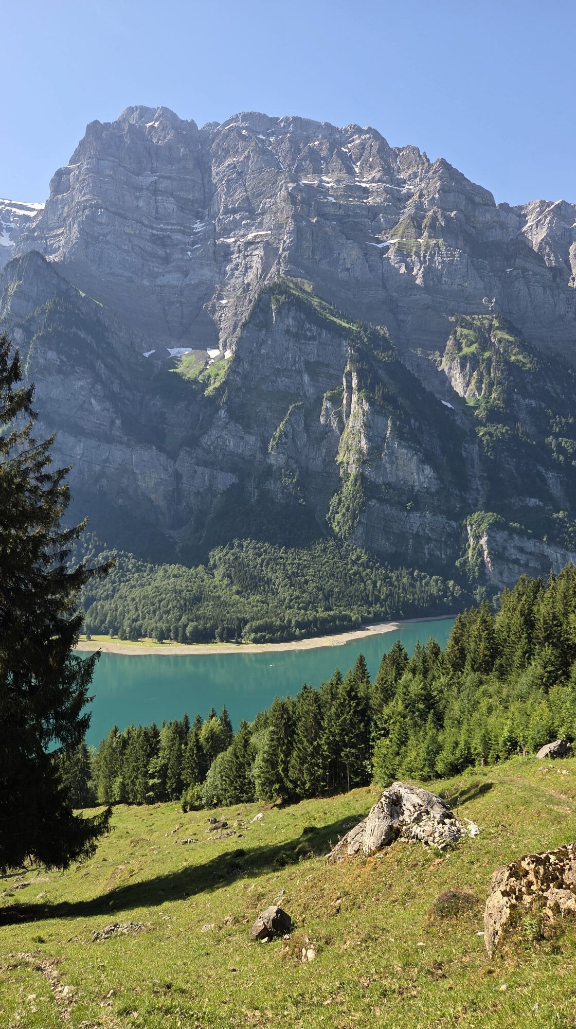
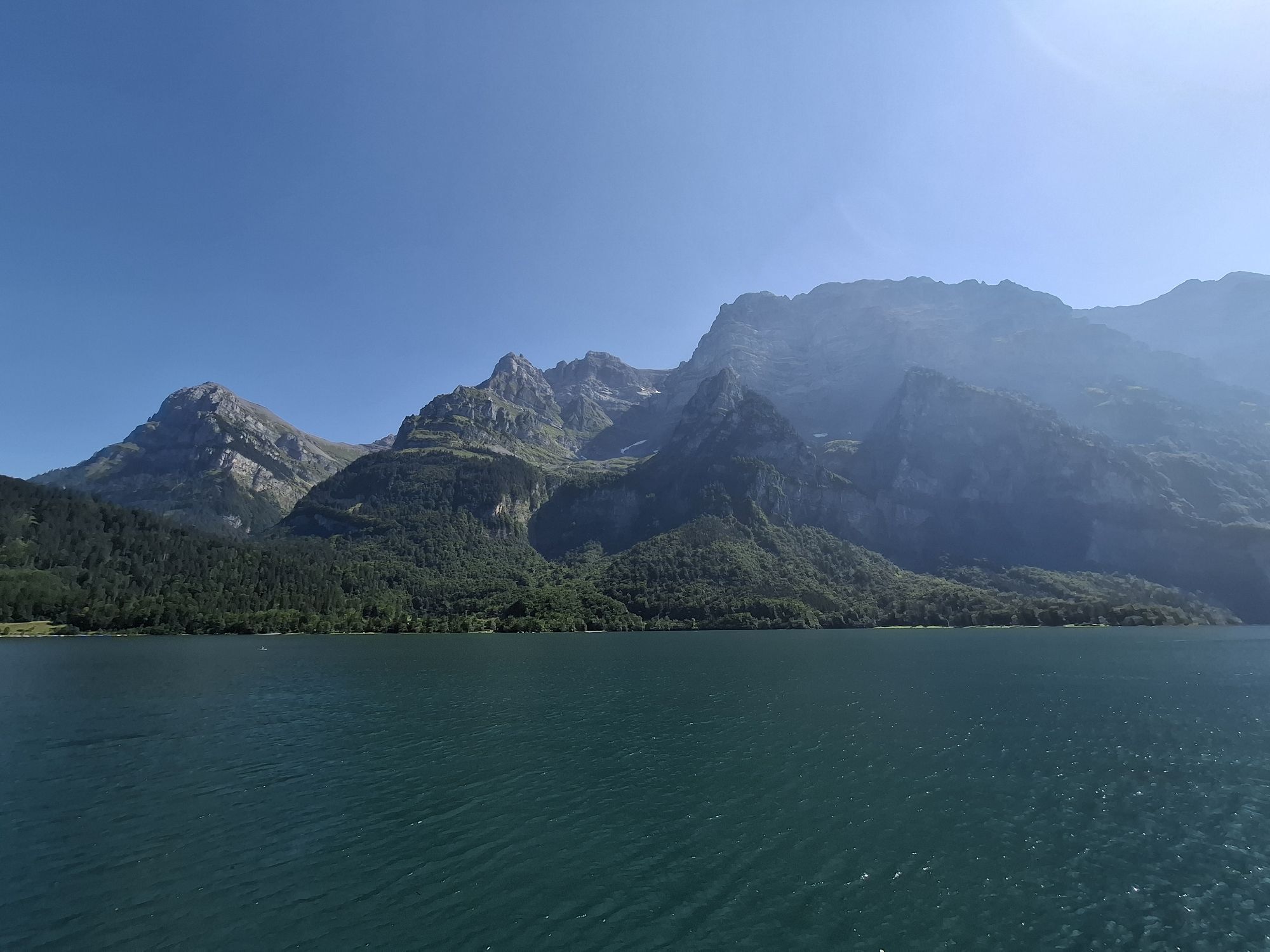
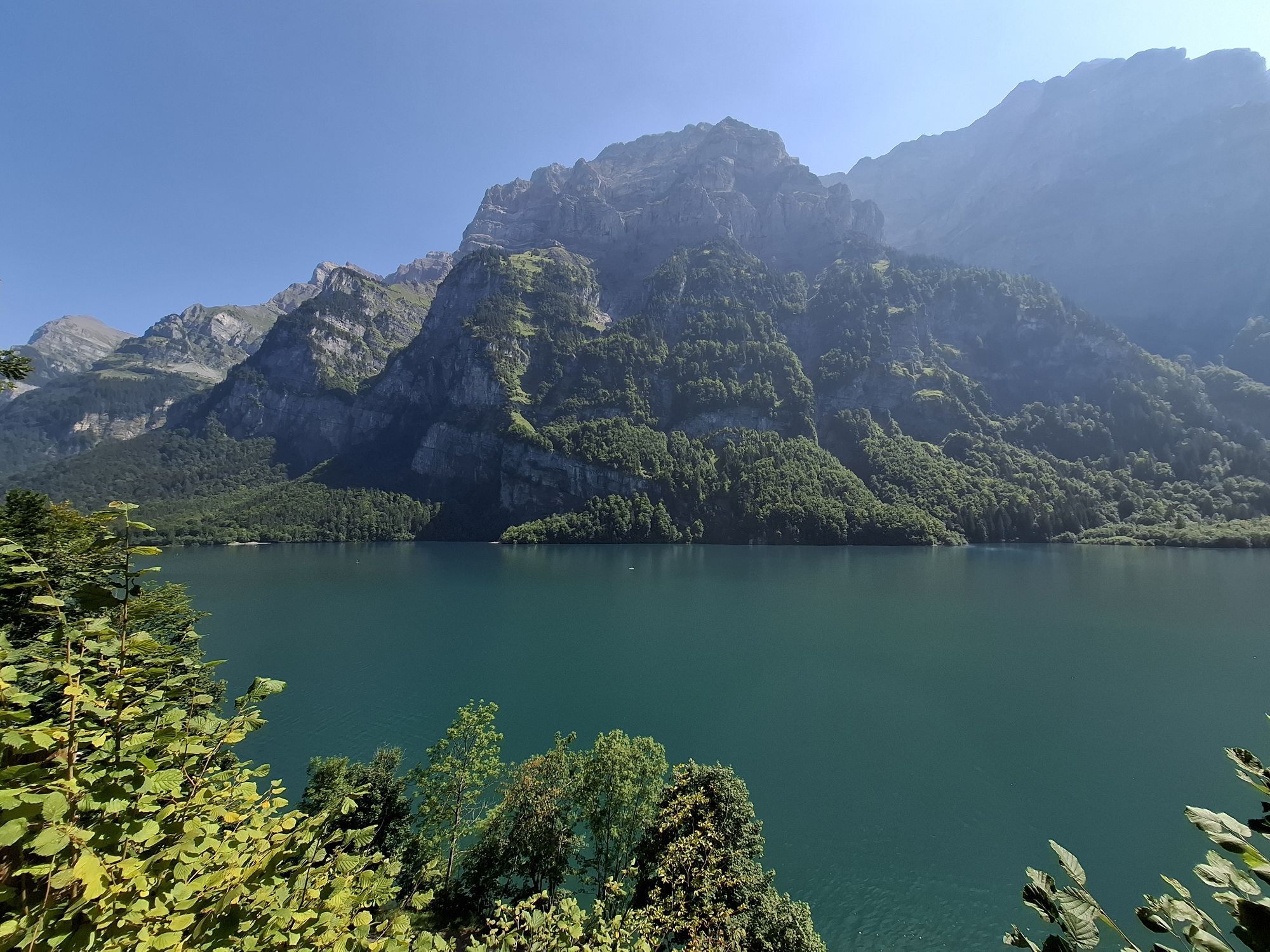
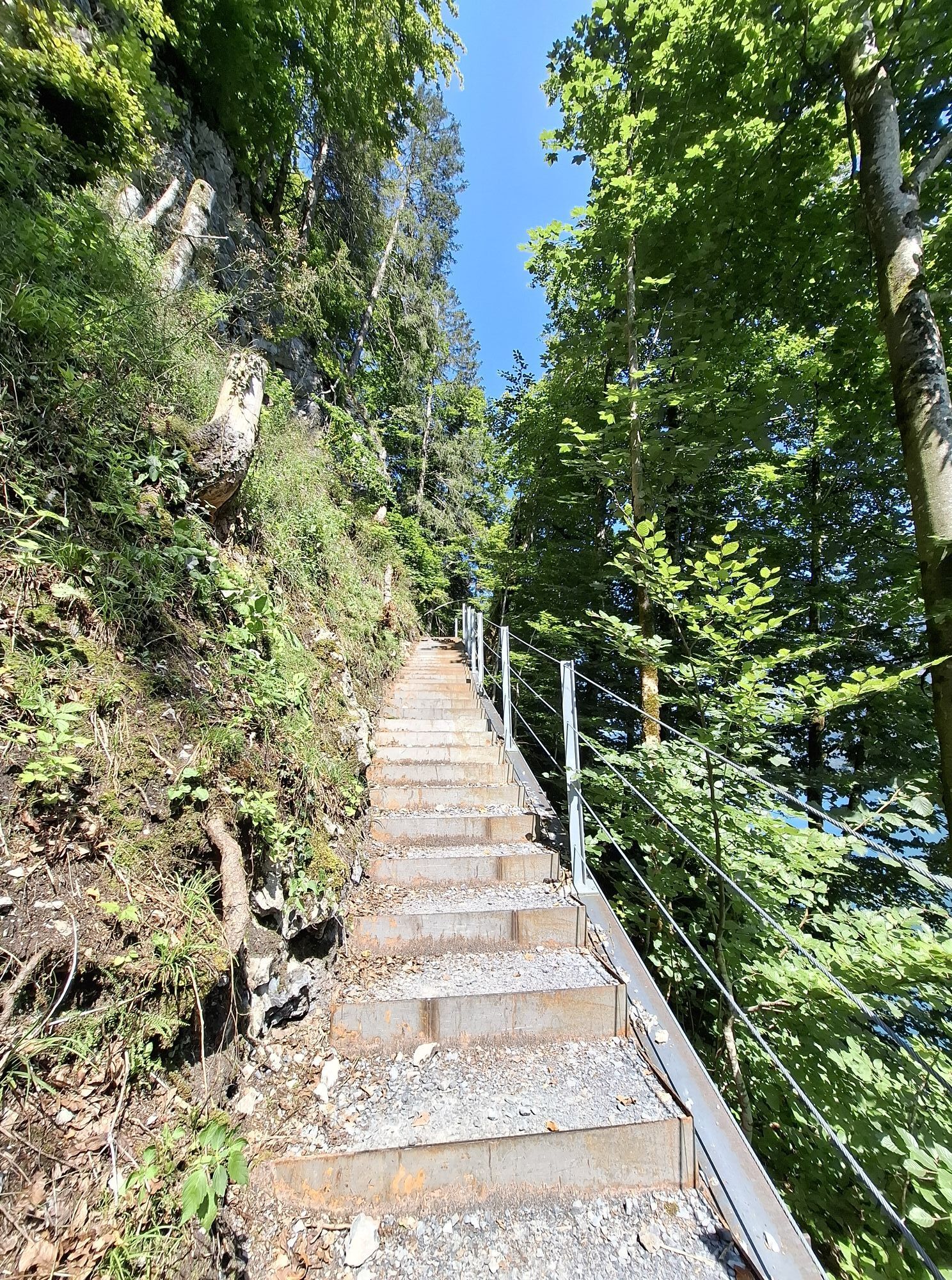
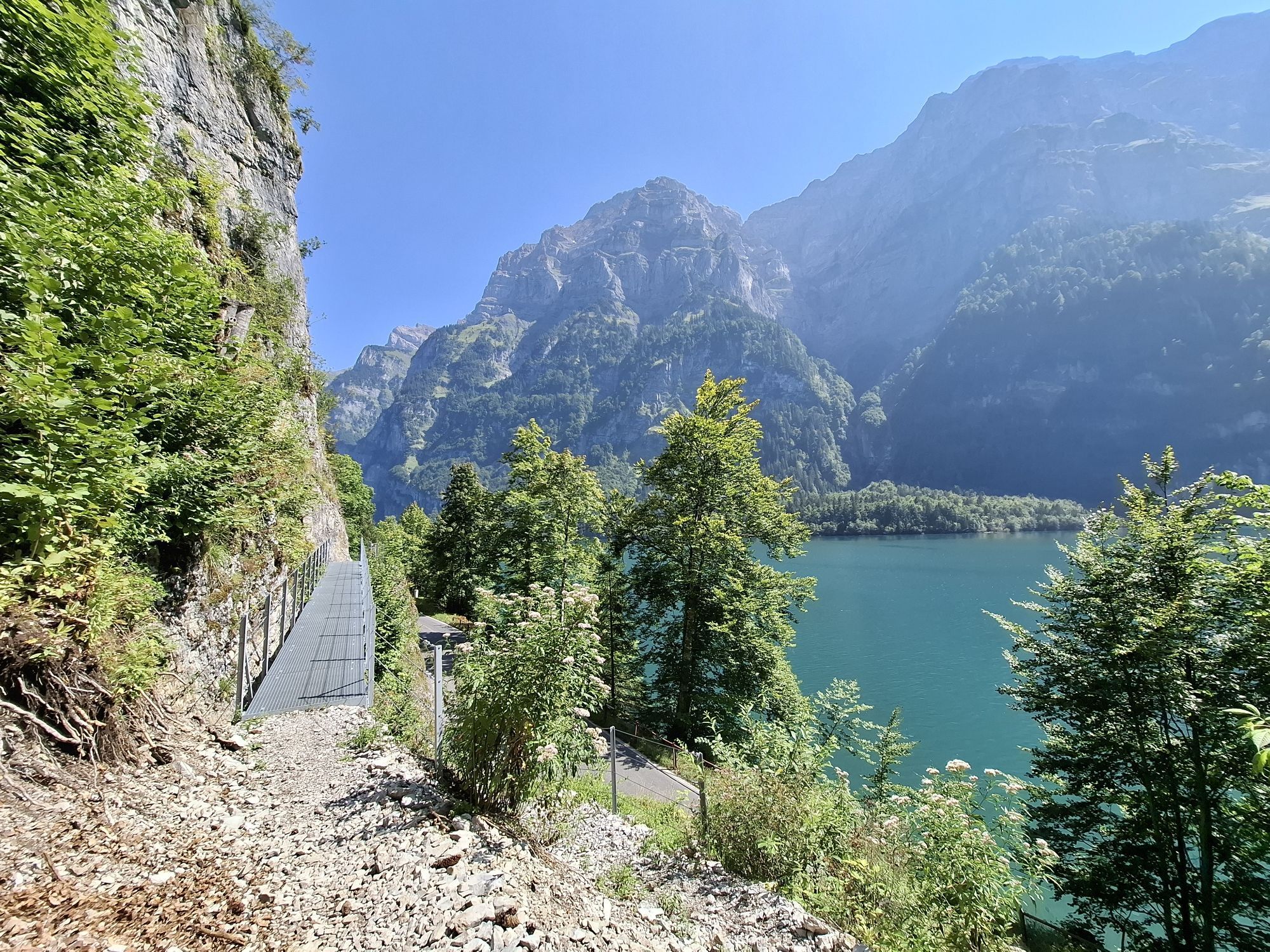
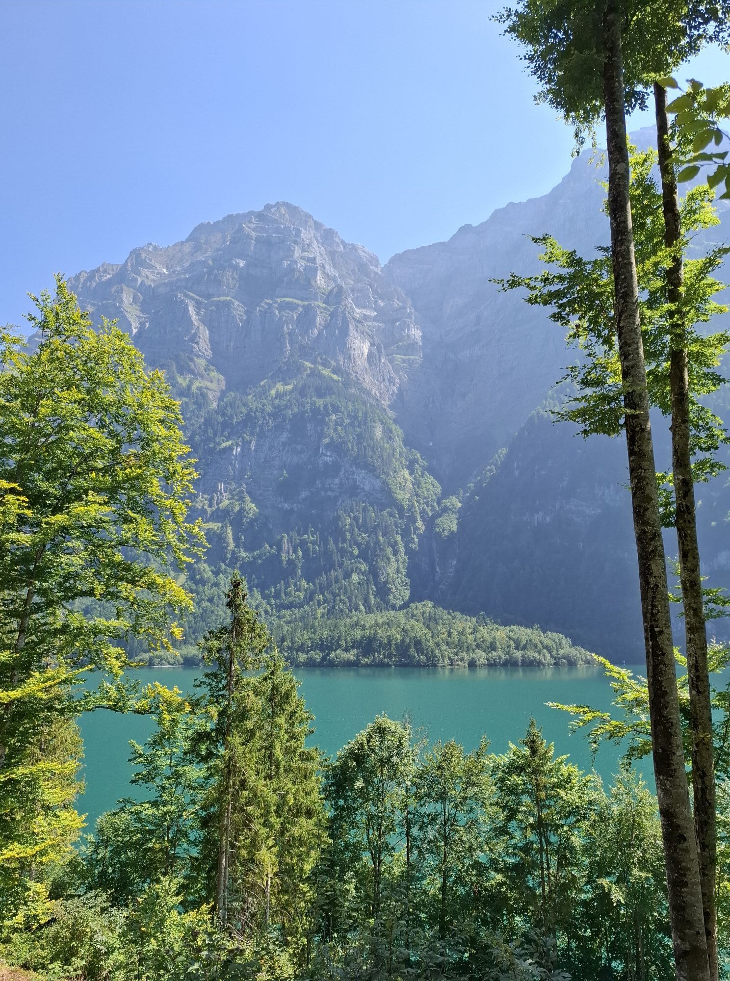
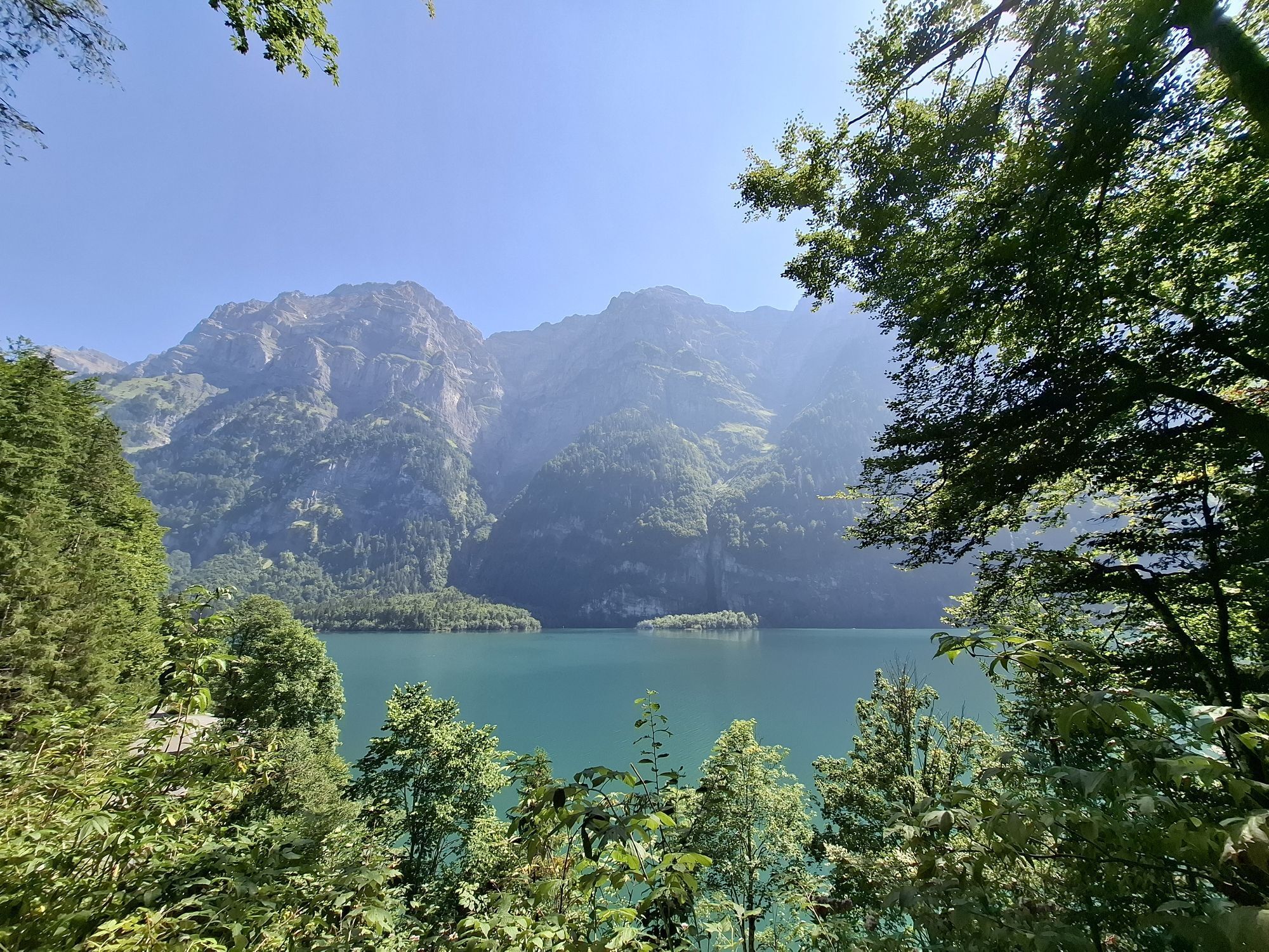
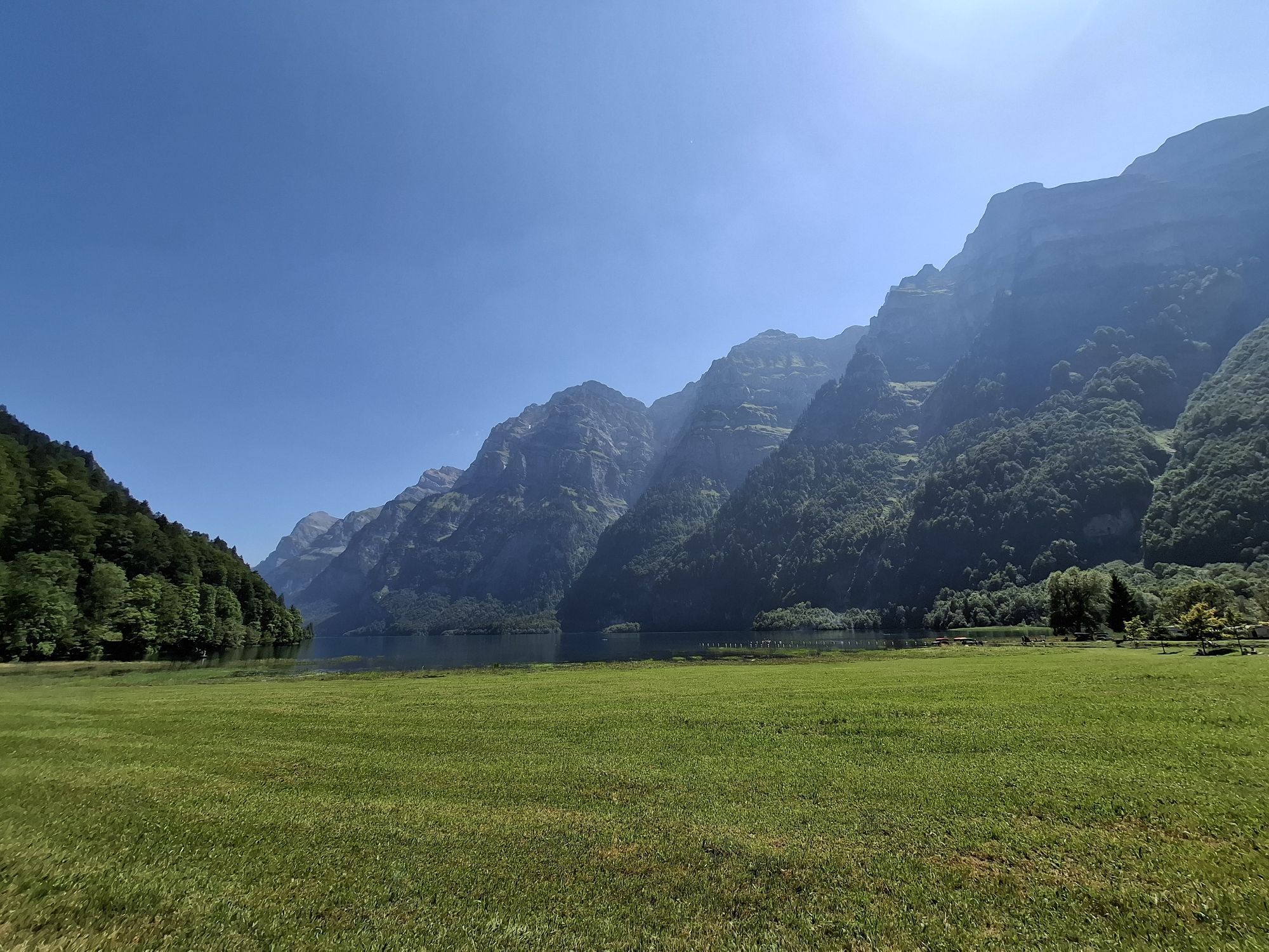
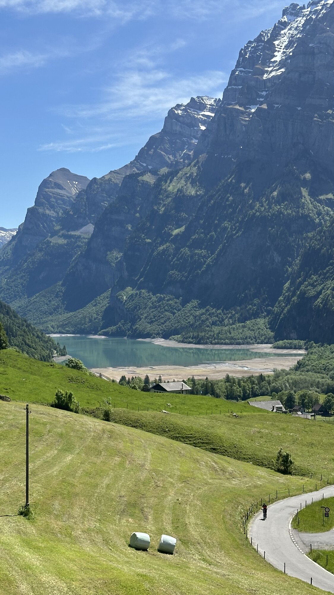
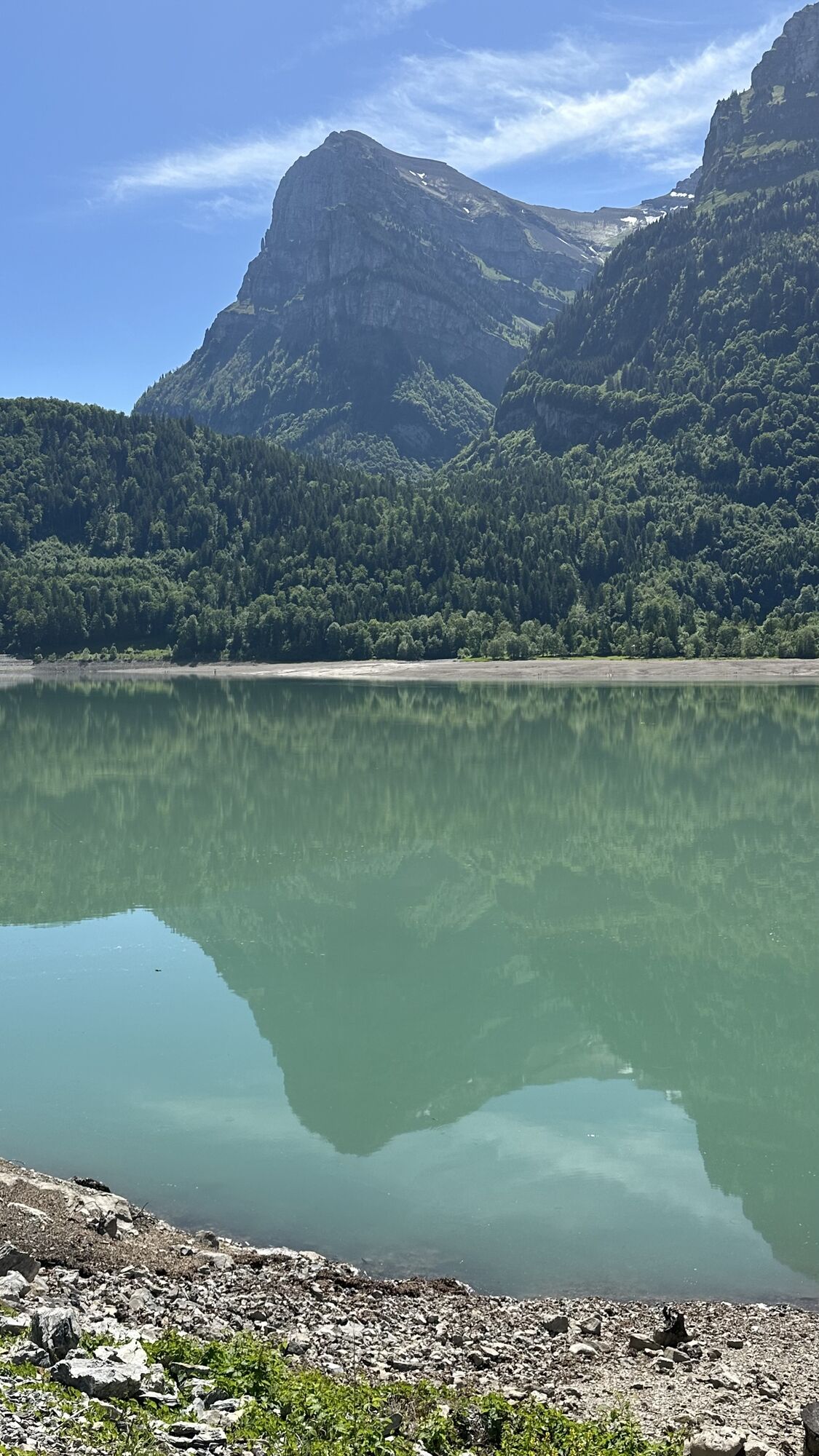
Ruta
Schwämmli
(1.379 m)
Corredor/terreno
1,8 km
Schübüel
(1.702 m)
Corredor/terreno
4,6 km
Plättli
(1.660 m)
Corredor/terreno
5,2 km
Türliboden
(1.552 m)
Corredor/terreno
6,6 km
Ratlis
(1.248 m)
Corredor/terreno
9,4 km
Vorauen
(852 m)
Liquidación
13,2 km
Riettürli
(855 m)
Corredor/terreno
14,5 km
Ruta
Glarner Alpen.
luz
Senderismo
17,43
km
Schwämmli
(1.379 m)
Corredor/terreno
1,8 km
Schiiterböden
(1.729 m)
Corredor/terreno
3,1 km
Schübüel
(1.702 m)
Corredor/terreno
4,6 km
Plättli
(1.660 m)
Corredor/terreno
5,2 km
Türliboden
(1.552 m)
Corredor/terreno
6,6 km
Ratlis
(1.248 m)
Corredor/terreno
9,4 km
Vorauen
(852 m)
Liquidación
13,2 km
Riettürli
(855 m)
Corredor/terreno
14,5 km

Error
Se ha producido un error. Por favor, inténtelo de nuevo.
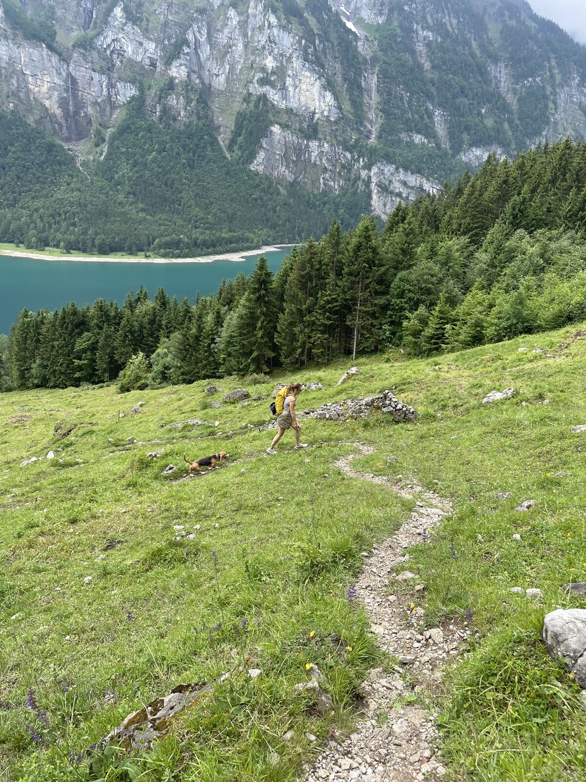

Valoraciones
2 Comentarios
Susigost

21. jun.. 2026
Beautiful hike over Klöntalersee
Quite hard, mostly the first couple of hpurs, where you need to go up more than 900m. It goes through forest and the path is doable, it requires a minimum fitness though. The way down is regular and so so beautiful!

Ricarda Haf
14. jun.. 2025
Abseits der Massen
Die Tour ist sehr schön, anscheinend wenig begangen. Tolle Ausblicke.  Wie man es auch im Höhenprofil sieht, geht es steil bergauf.  Oft in der Sonne.  Das ist an einem warmen Sommertag dann doch anstrengend, dann geht es aber ganz schön flach wieder runter. Die Gehzeit ist sehr sportlich angegeben. Wer also nicht super fit ist, braucht länger. Und ich hatte auch deutlich länger.

Todas las cámaras web en un mapa
Descarga la aplicación gratis y compara las imágenes en directo de varios lugares antes de salir.
Usa ya « bergfex » en la aplicación
Escanea el código QR con tu cámara
Una vez instalada la aplicación, el contenido se abre directamente. Si aún no tienes la aplicación, podrás descargarla de forma gratuita.

Rutas populares en los alrededores
-
4,9
Fronalpstock GL
medioSenderismo 7,84 km -
4,7
Rhodannenberg - Vorder Ruestelchopf - Vorauen - Steppel
Senderismo 13,6 km -
4,7
Obersee Rundwanderung
medioSenderismo 11,2 km -
5,0
Chli Aubrig
luzSenderismo 8,51 km -
4,8
Vorder Glärnisch
medioSenderismo 4,64 km -
4,9
Innerthal - Felsenegg - Fläschloch - Stausee
medioSenderismo 12,8 km -
4,7
Klöntalersee
luzSenderismo 14,5 km -
4,4
Sattelegg - Muttergottes- und Bruderklausenkapelle - Wildegg - Chli Aubrig
medioSenderismo 9,57 km -
4,2
Bockmattli
medioSenderismo 12,4 km -
2,8
Braunwald - Oberblegisee - Luchsingen oder Schwanden
medioSenderismo 16,1 km
Senderismo y rastreo

Más de 550.000 sugerencias de excursiones, mapas detallados y un intuitivo planificador de rutas hacen de esta aplicación una herramienta imprescindible para todos los amantes de la naturaleza.

No se pierda las ofertas y la inspiración para sus próximas vacaciones
Suscribirse al boletín de noticias
Error
Se ha producido un error. Por favor, inténtelo de nuevo.
Gracias por inscribirse
Su dirección de correo electrónico se ha añadido a la lista de correo.
Viajes por Europa
Austria
Suiza
Alemania
Italia
Eslovenia
Francia
Países Bajos
Belgium
Polonia
Liechtenstein
República Checa
Slovakia
España
Croacia
Bosnia y Herzegovina
Luxemburgo
Andorra
Portugal
Iceland
United Kingdom
Ireland
Greece
Albania
North Macedonia
Malta
Norway
Montenegro
Moldova
Kosovo
Hungary
San Marino
Romania
Estonia
Latvia
Belarus
Cyprus
Lithuania
Serbia
Bulgaria
Monaco
Denmark
Sweden
Finland





