


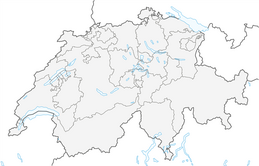


Road Bike Loop: Schaffhausen – Stein am Rhein

Nivel de dificultad: 2
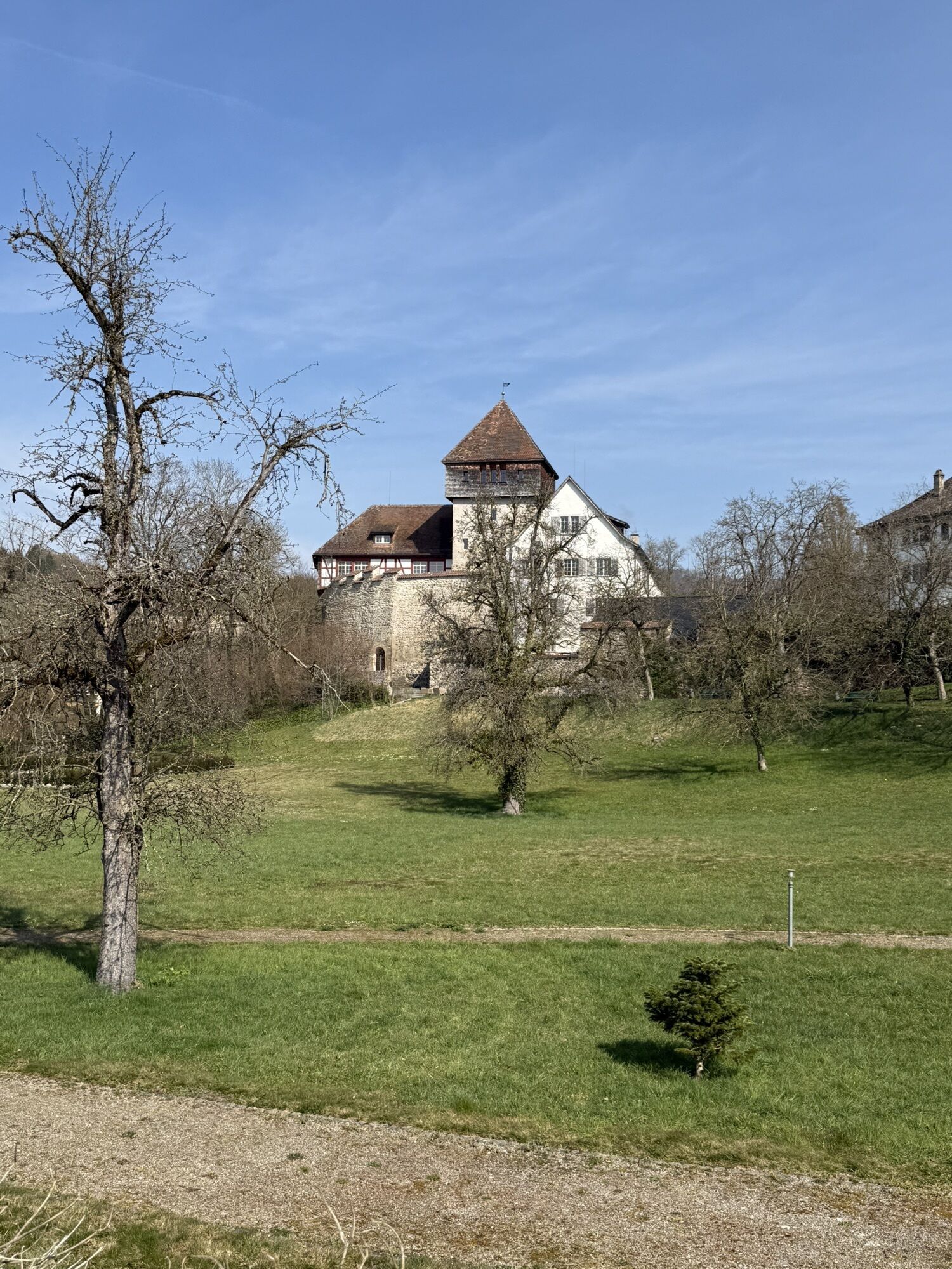

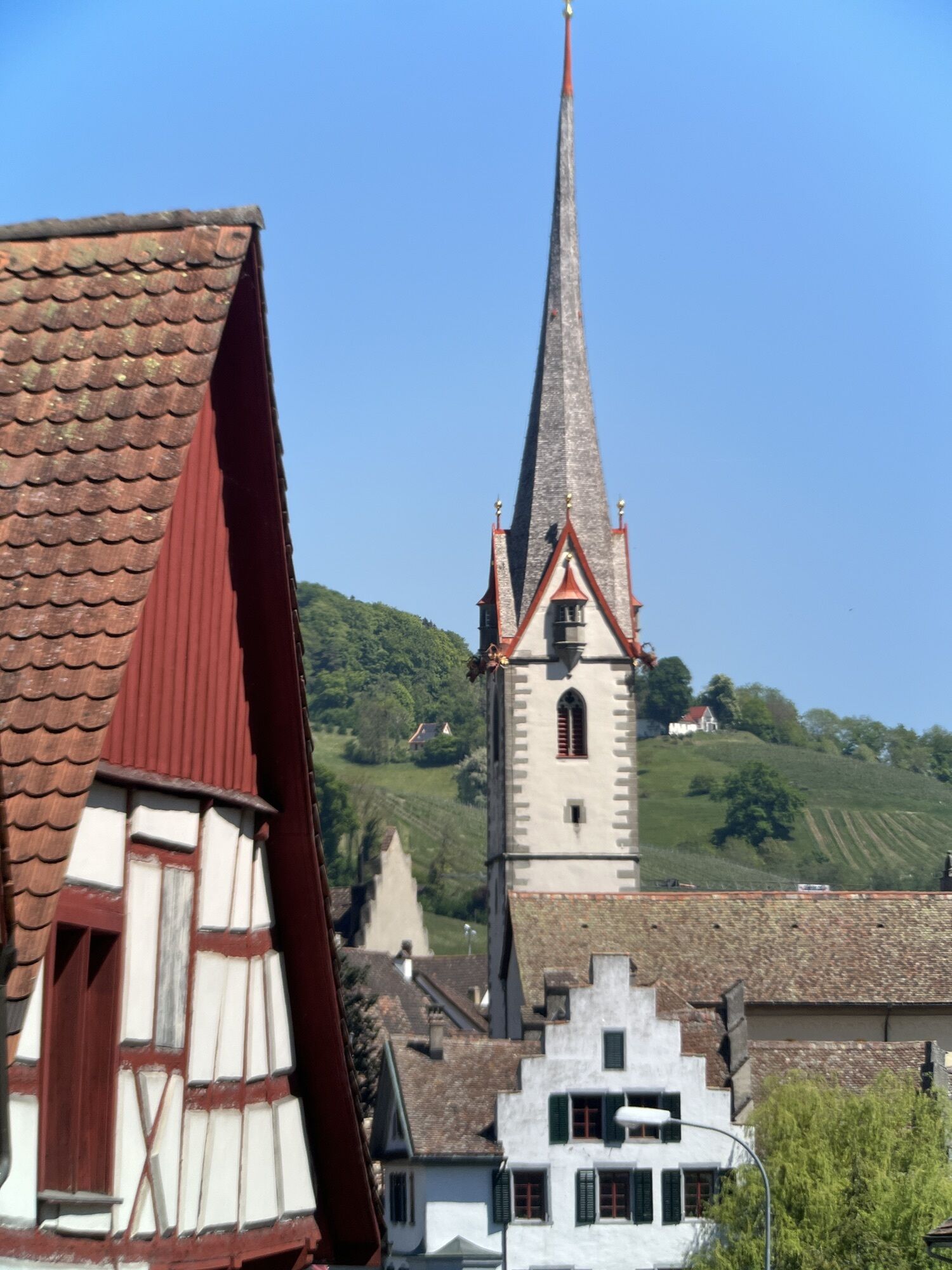
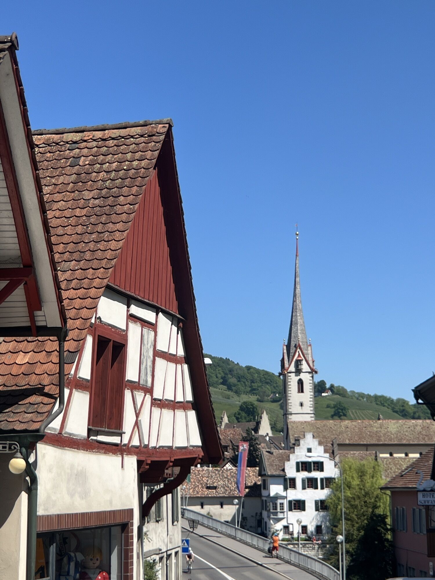
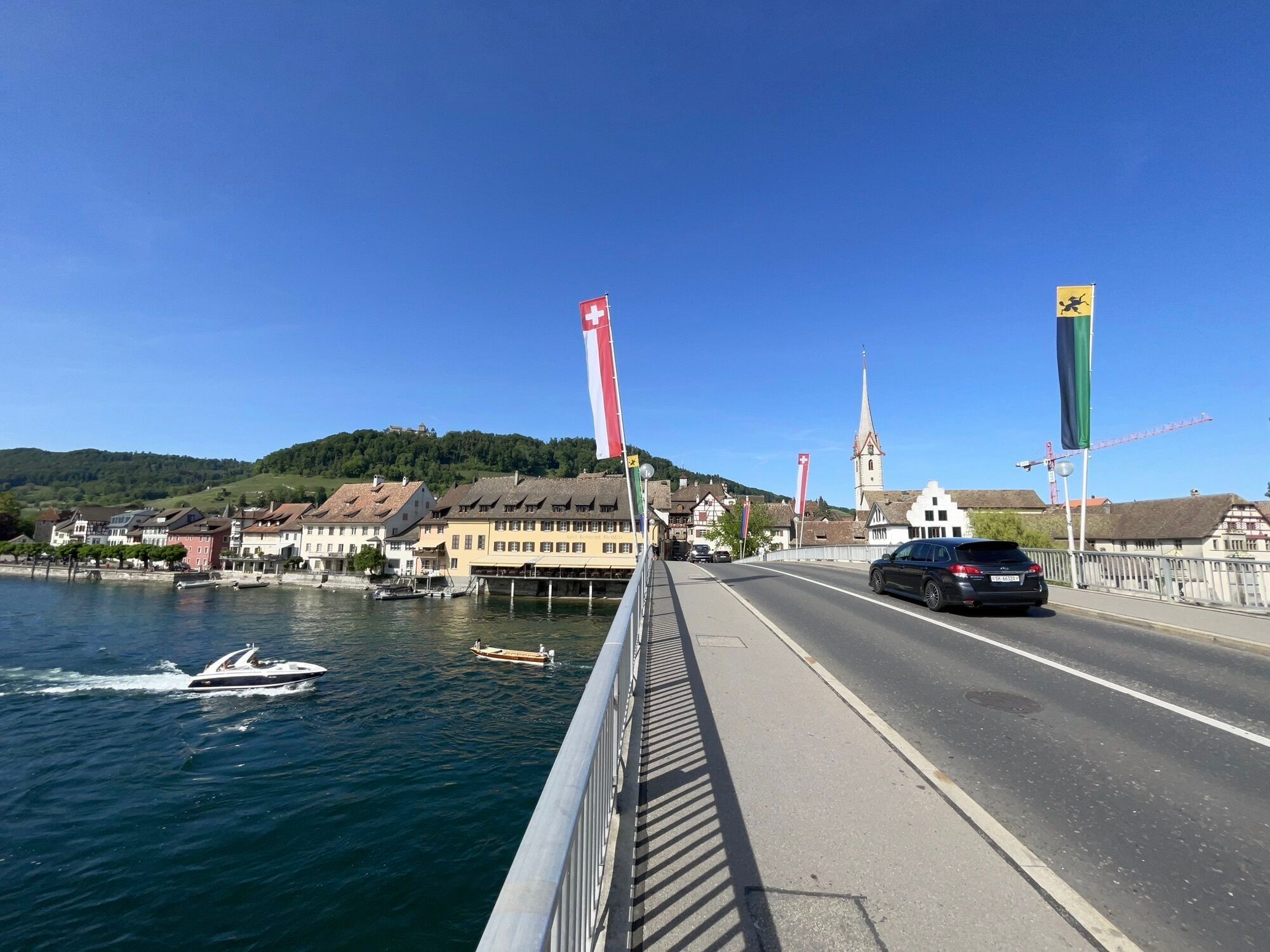
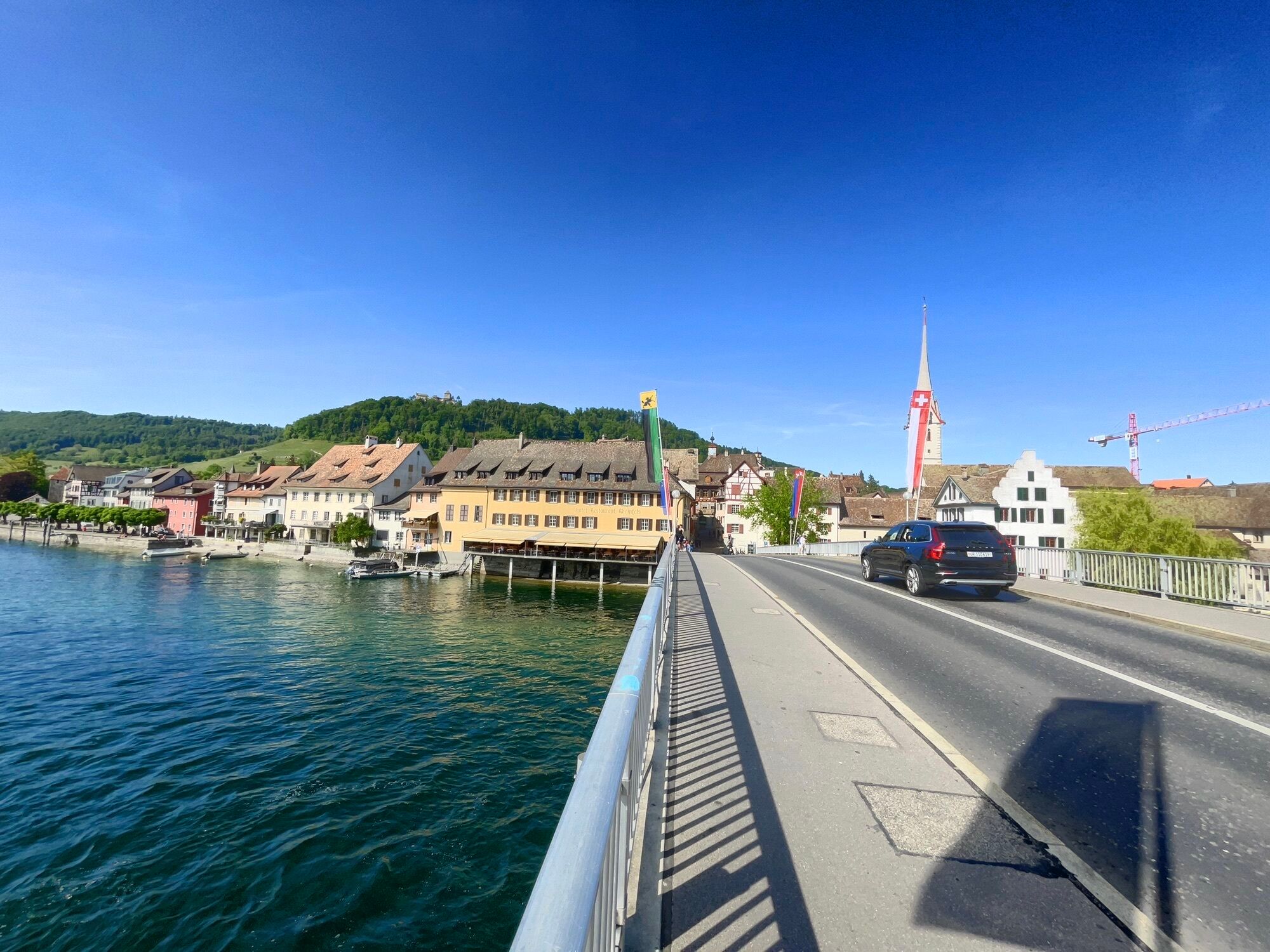
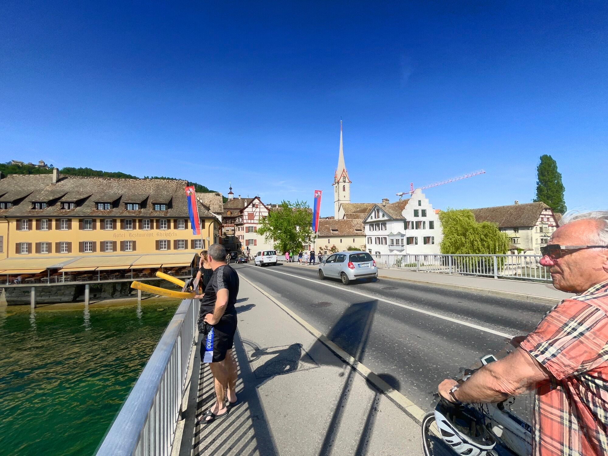

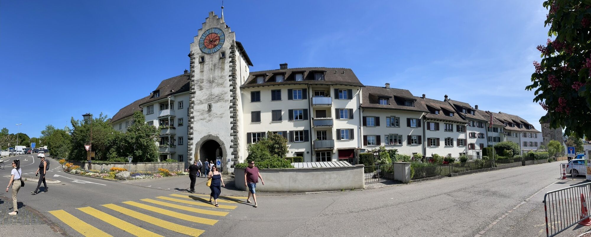
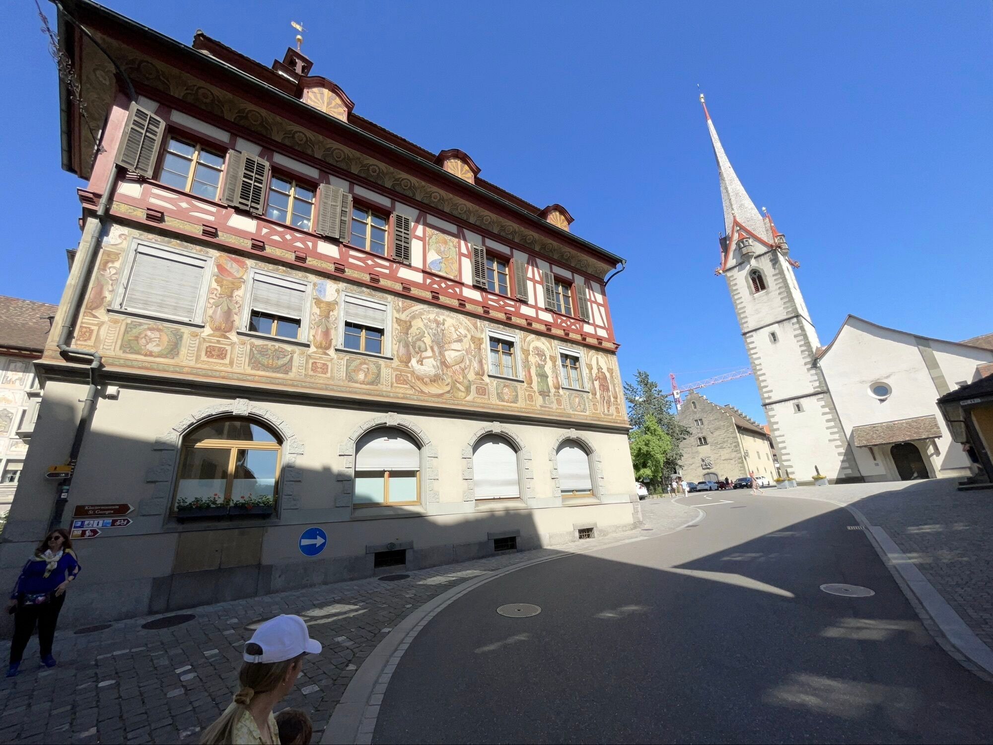
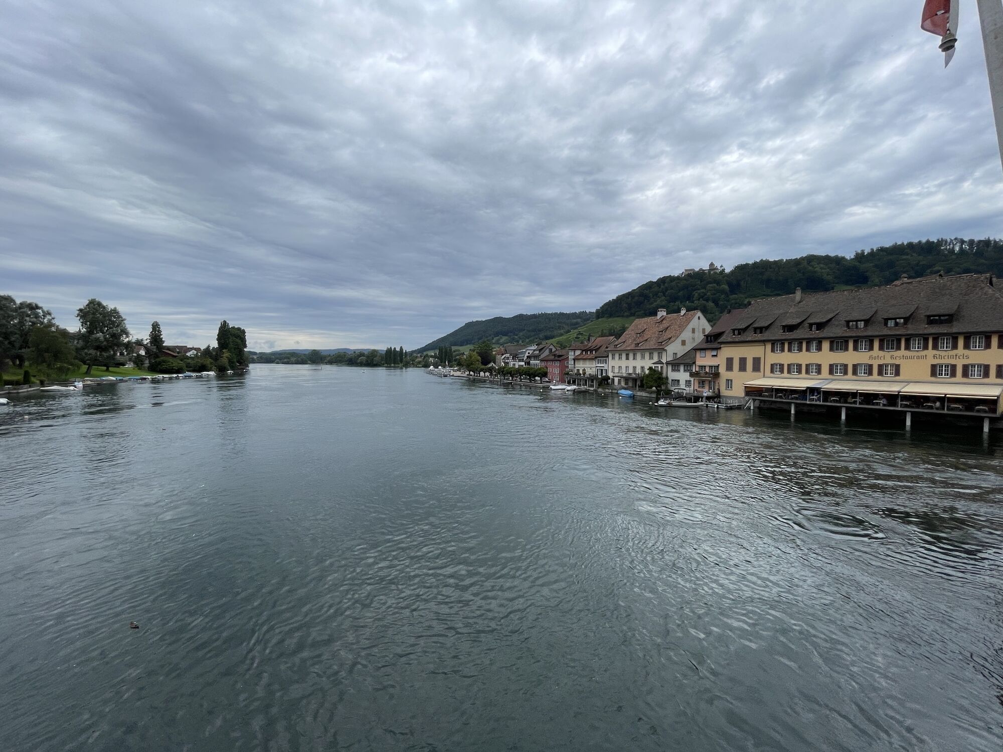
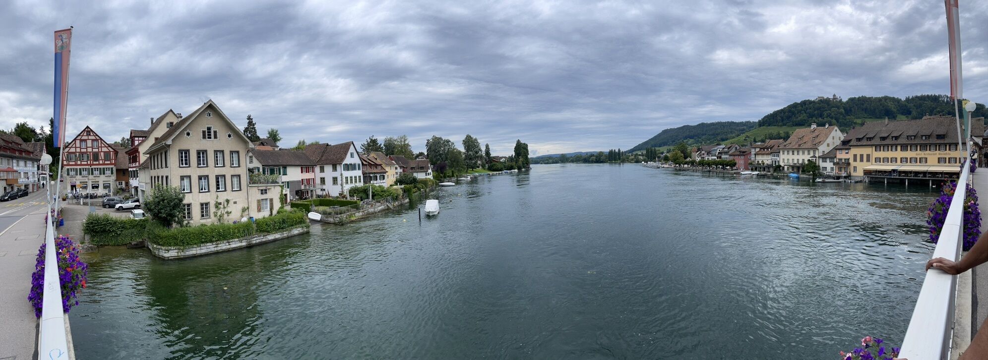
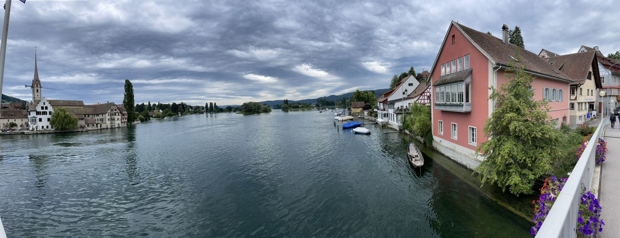
This road bike loop connects the city of Schaffhausen with the historic town of Stein am Rhein. While fast-paced riding and beautiful views await along the Rhine, the climbs in the first part of the route...
This road bike loop connects the city of Schaffhausen with the historic town of Stein am Rhein. While fast-paced riding and beautiful views await along the Rhine, the climbs in the first part of the route provide a athletic challenge. Along the way, you’ll pass through charming villages and arrive in Stein am Rhein, one of Switzerland’s most beautiful medieval towns. The flat return route invites you to really open it up one last time.


The loop tour starts at the boat landing in Schaffhausen and initially follows a flat route along the Rhine to Büsingen. It then continues with climbs through Dörflingen and Gailingen until just before Ramsen. There, the climb gives way to a rapid descent. After that, the route remains mostly flat all the way to Stein am Rhein. After crossing the Rhine, the tour continues on the opposite bank of the river, with only a slight elevation gain, back to Schaffhausen.
Enough water, a bike in good working order, a bike helmet, protection from the sun or rain, a GPS device or cell phone (the route is not marked), and identification
You share the roads with other road users. Drive with foresight, follow the traffic rules, and treat everyone with mutual respect.
Schaffhausen is easily accessible from Zurich or Winterthur via the main transportation routes. The tour starts near the center of Schaffhausen.
From there, it's just under a 5-minute bike ride to the Schaffhausen ferry terminal.
There are several parking garages available in Schaffhausen's Old Town. The closest one is the Schifflände parking garage.
2
The section between Schaffhausen and Büsingen, marked as a nature trail, is paved.
While you're out and about, take a dip in the Rhine at a public swimming pool or a swimming spot.
Webcams del recorrido

Rutas populares en los alrededores
-
5,0
Paseo por el camino panorámico de la península de Höri
medioSenderismo 8,11 km -
5,0
Stein am Rhein - Castillo de Hohenklingen - Stein am Rhein
medioSenderismo 7,68 km -
4,0
Ruta circular Gaienhofen-Mittlere Höri
medioSenderismo 12,6 km -
3,7
Firstweg Langenmos
medioSenderismo 5,76 km -
5,0
"Hegauer Kegelspiel" Hohentwieler
medioSenderismo 7,21 km -
SchweizMobil 2: Ruta del Rin Etapa 6 (Kreuzlingen - Schaffhausen)
medioCiclismo 47,0 km -
4,5
Ruta circular desde Mammern en el lago de Constanza hasta las ruinas de Neuburg
luzSenderismo 6,73 km -
3,0
"Hegauer Kegelspiel" Grenzgänger
luzSenderismo 12,6 km -
Rundweg Schienerberg
pesadoSenderismo 18,6 km -
Stein am Rhein - Wolkenstein - Castillo de Hohenklingen
Senderismo 8,91 km

Senderismo y rastreo


No se pierda las ofertas y la inspiración para sus próximas vacaciones
Su dirección de correo electrónico se ha añadido a la lista de correo.


