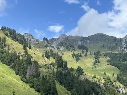
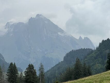
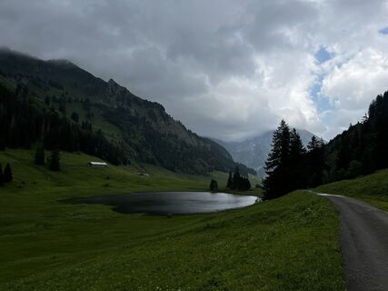
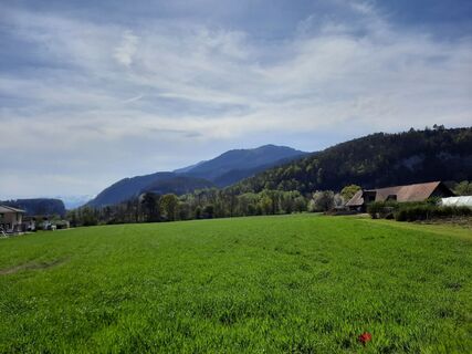
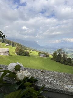
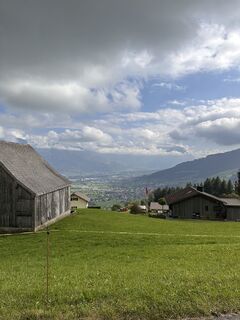
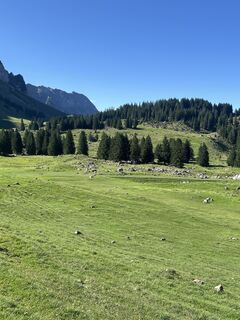
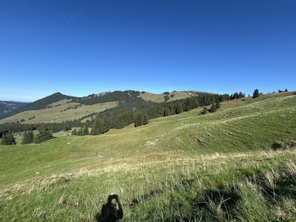
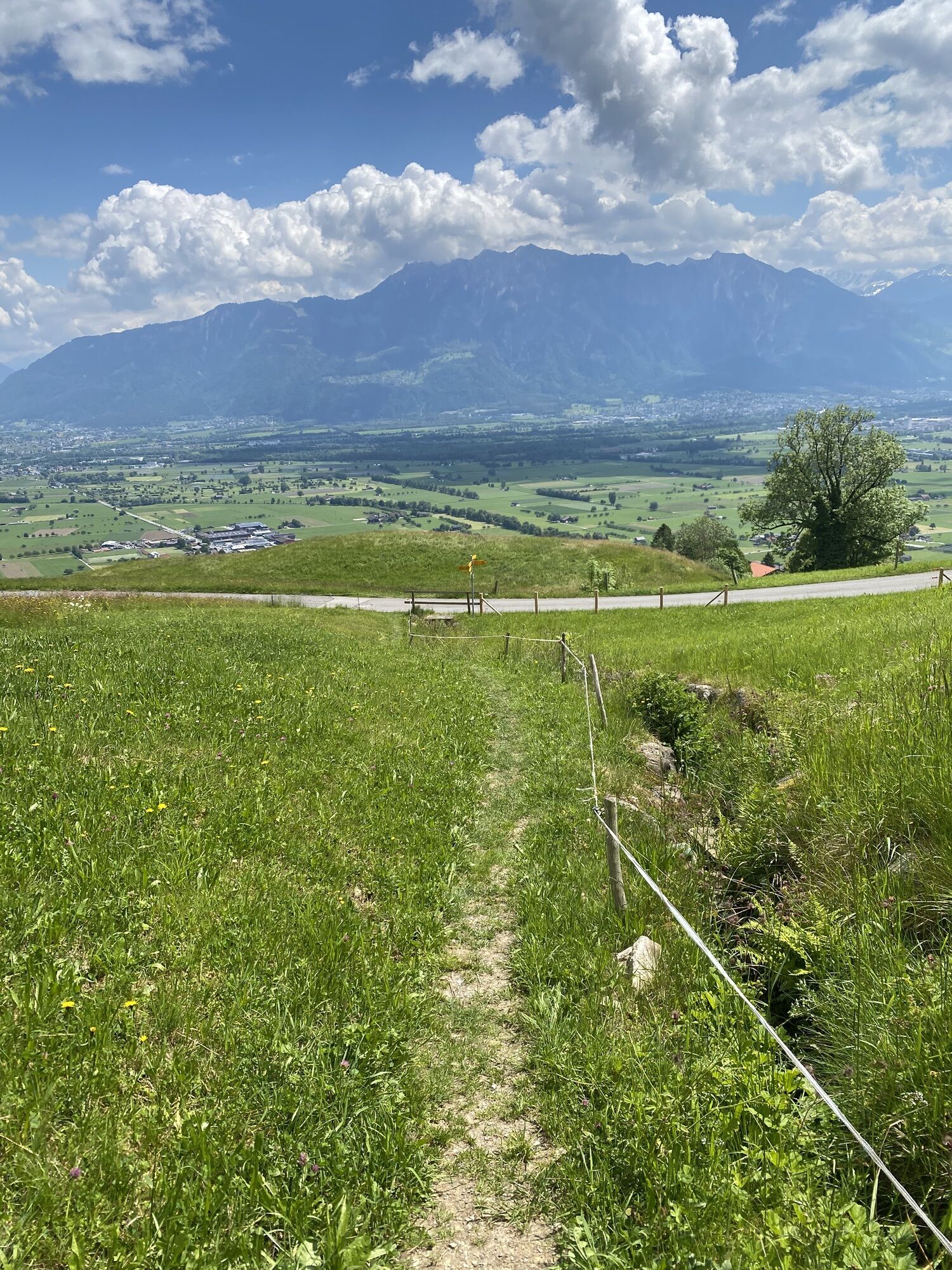
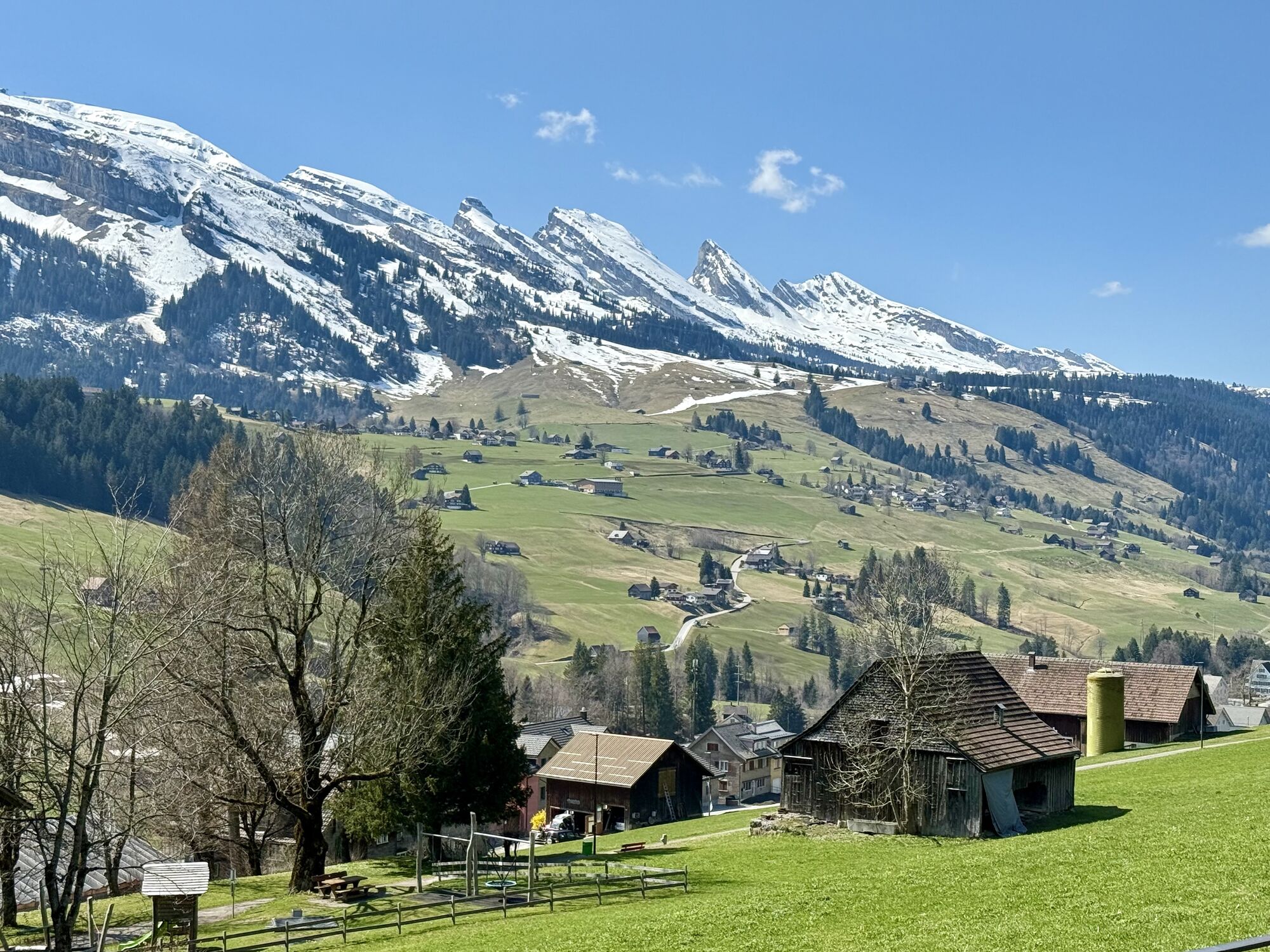
Oberriet SG - Chäsmoos-Kapelle - Alpwirtschaft Leser - Katholische Kirche St. Bartholomäus
pesado
Navegue por
Navegue por
Consigue este tour en tu móvil
Oberriet SG - Chäsmoos-Kapelle - Alpwirtschaft Leser - Katholische Kirche St. Bartholomäus
pesado
Mountainbike
85,71
km
Escanee el código QR e inicie la navegación en la aplicación bergfex

Senderismo y rastreo


Oberriet SG - Chäsmoos-Kapelle - Alpwirtschaft Leser - Katholische Kirche St. Bartholomäus
pesado
Distancia
85,71
km
Duración
07:34
h
Ascenso
2.376
m
Nivel del mar
419 -
1.456
m
Descarga de pistas
Oberriet SG - Chäsmoos-Kapelle - Alpwirtschaft Leser - Katholische Kirche St. Bartholomäus
pesado
Mountainbike
85,71
km
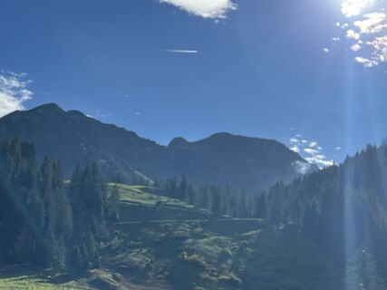
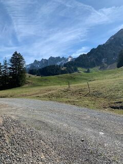
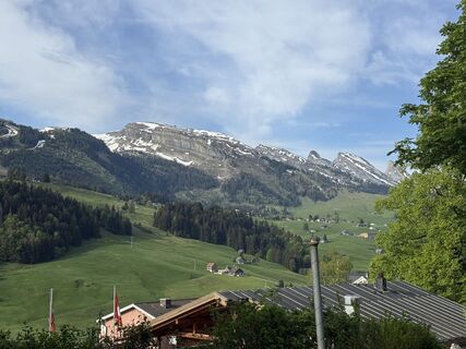
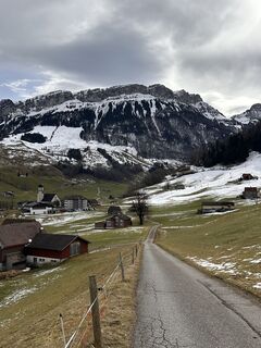
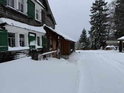
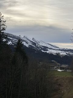
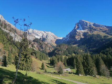
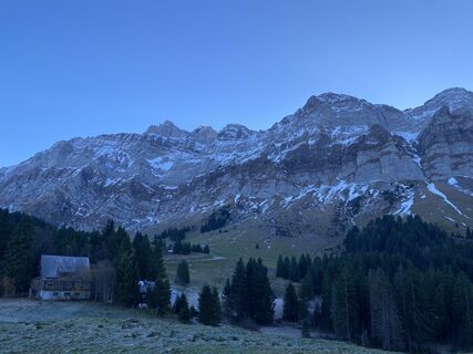
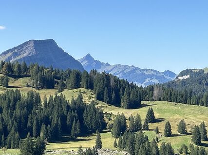
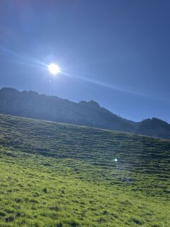
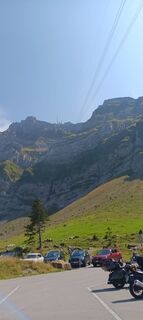
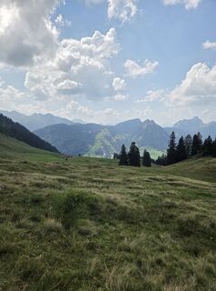
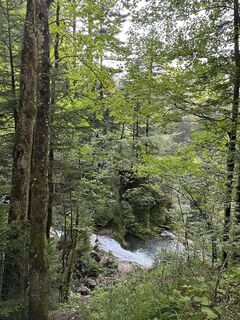
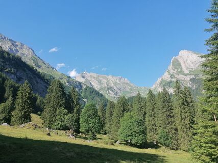
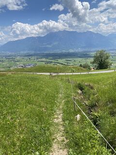
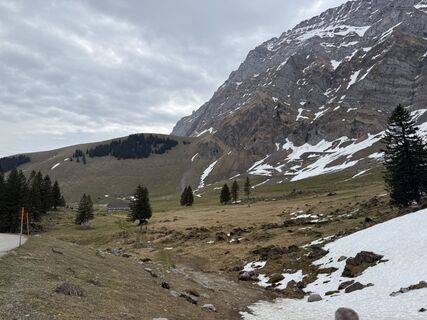
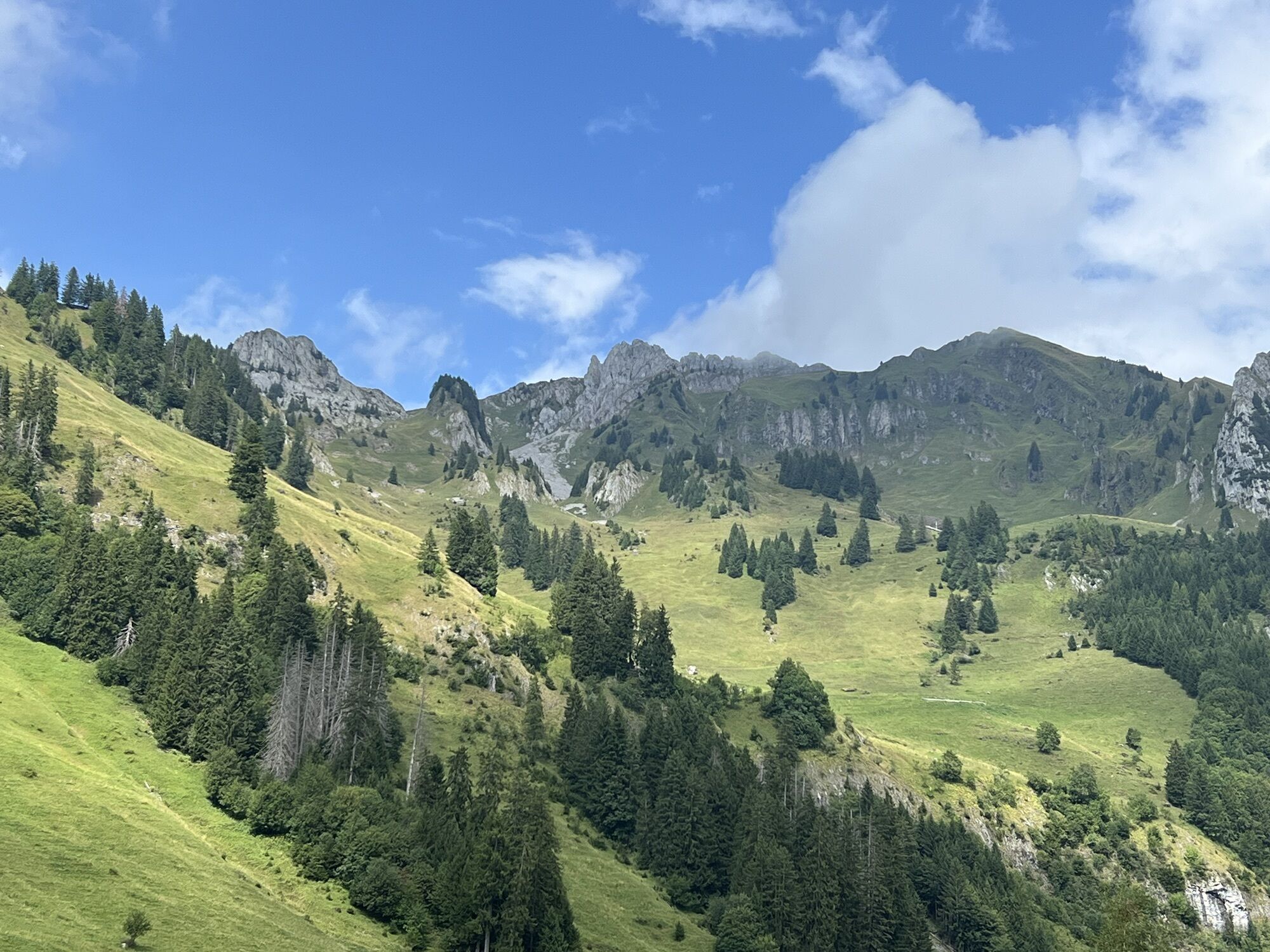
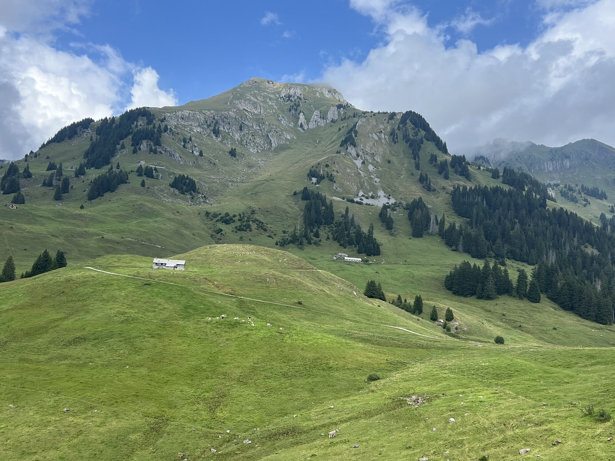
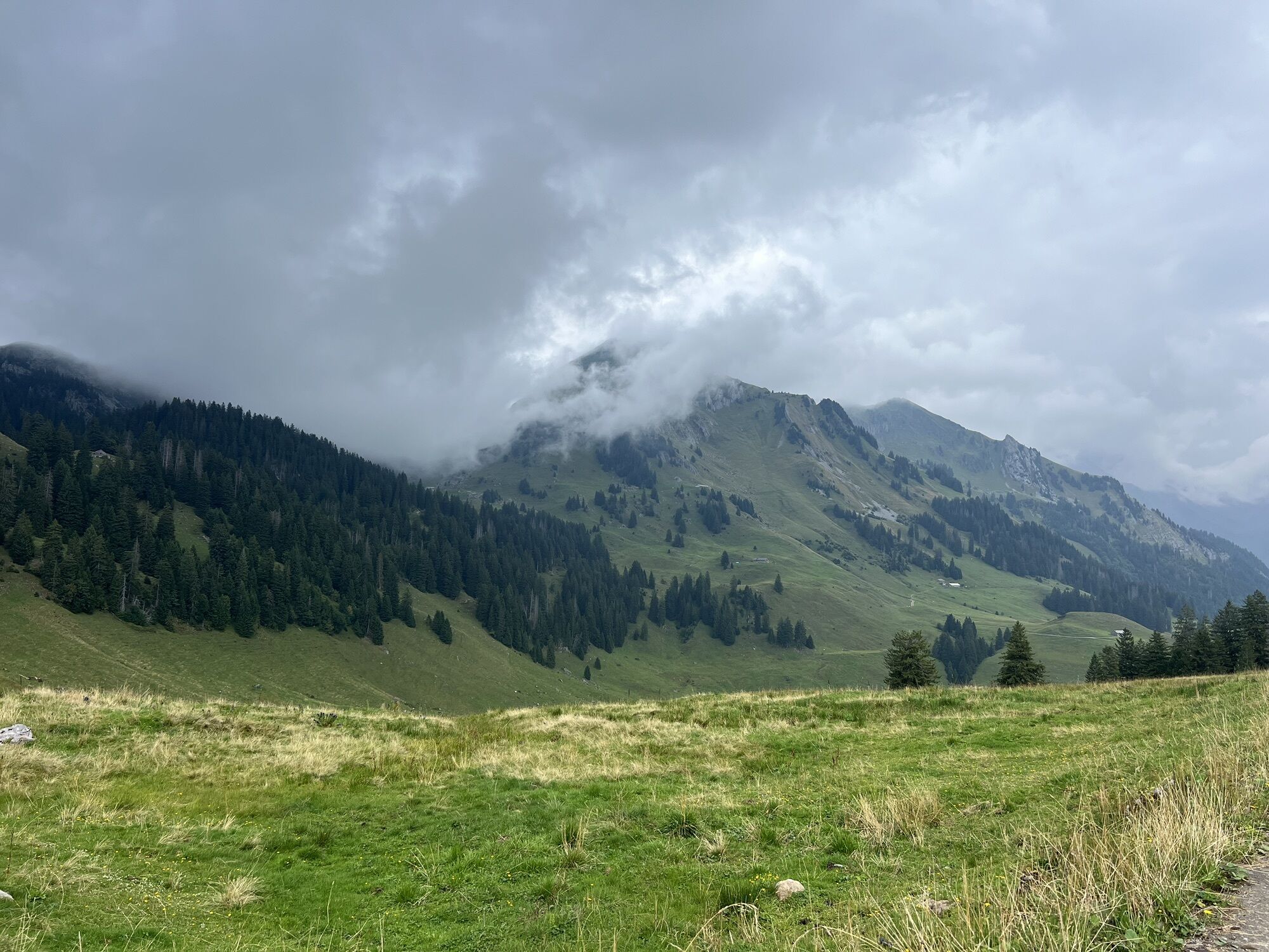
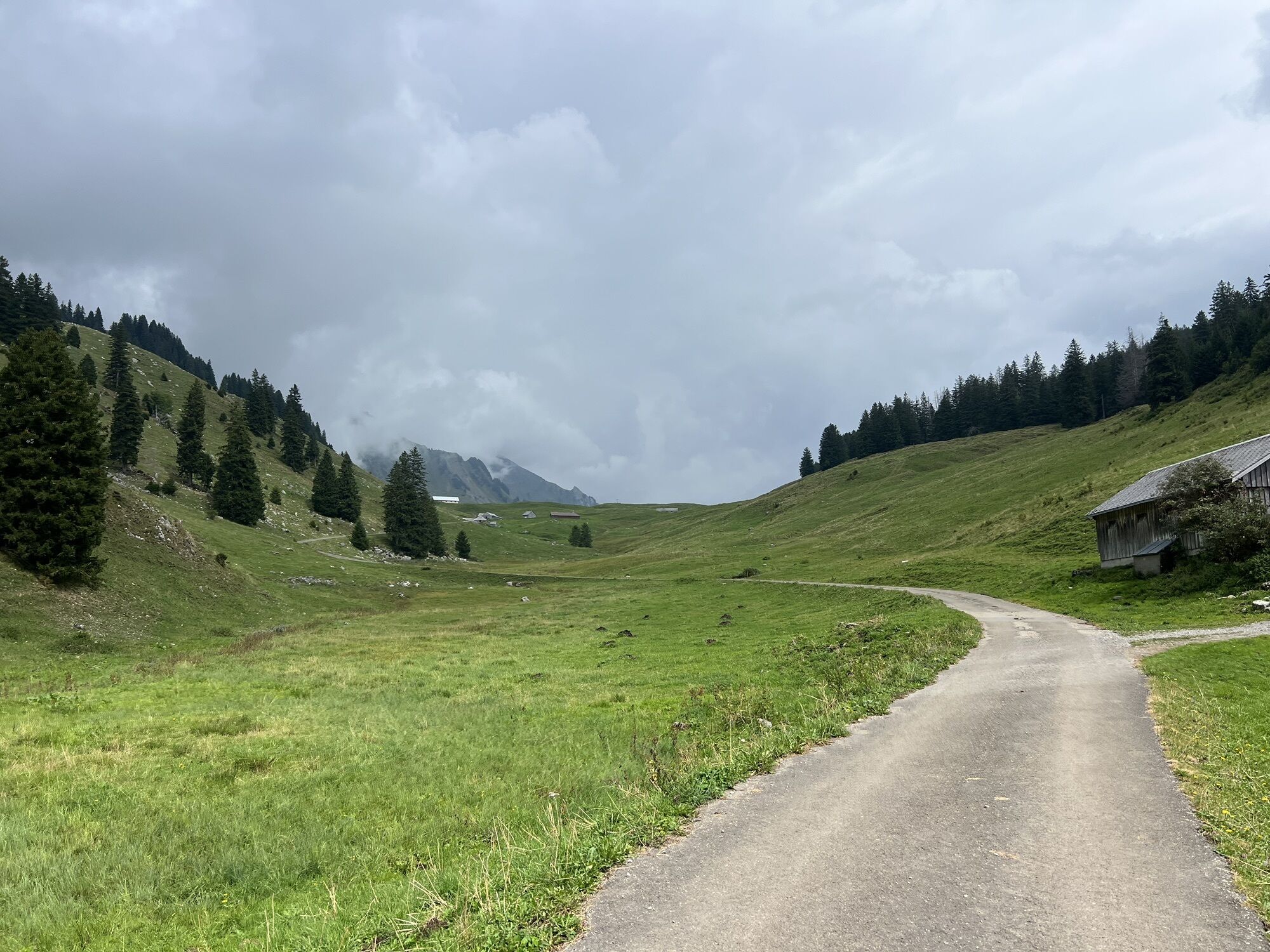
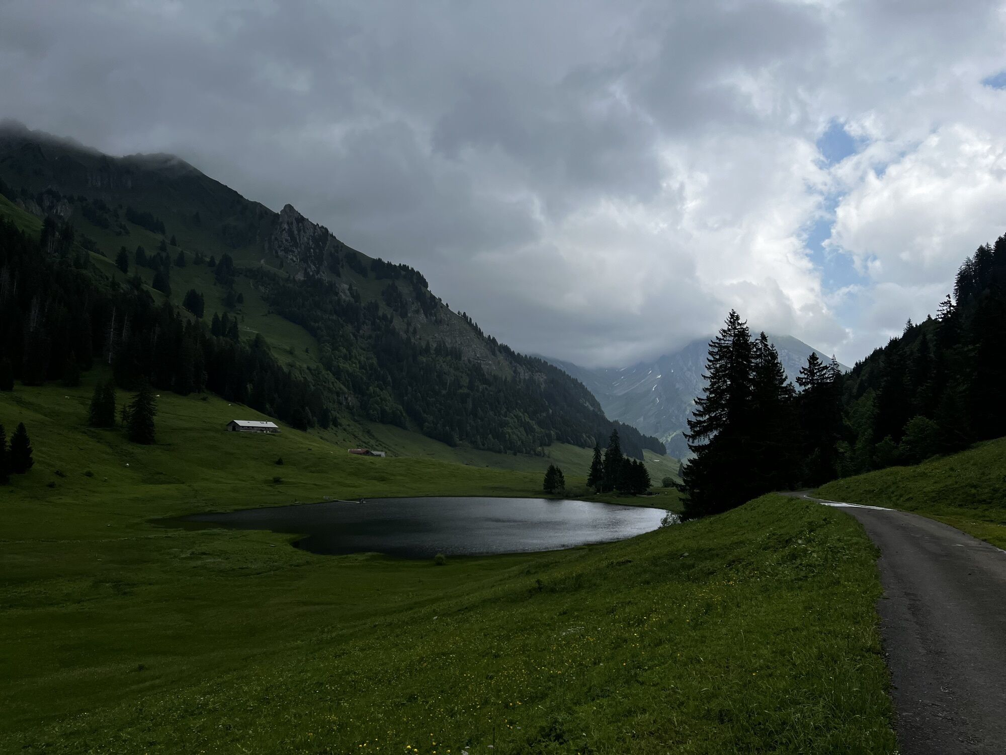
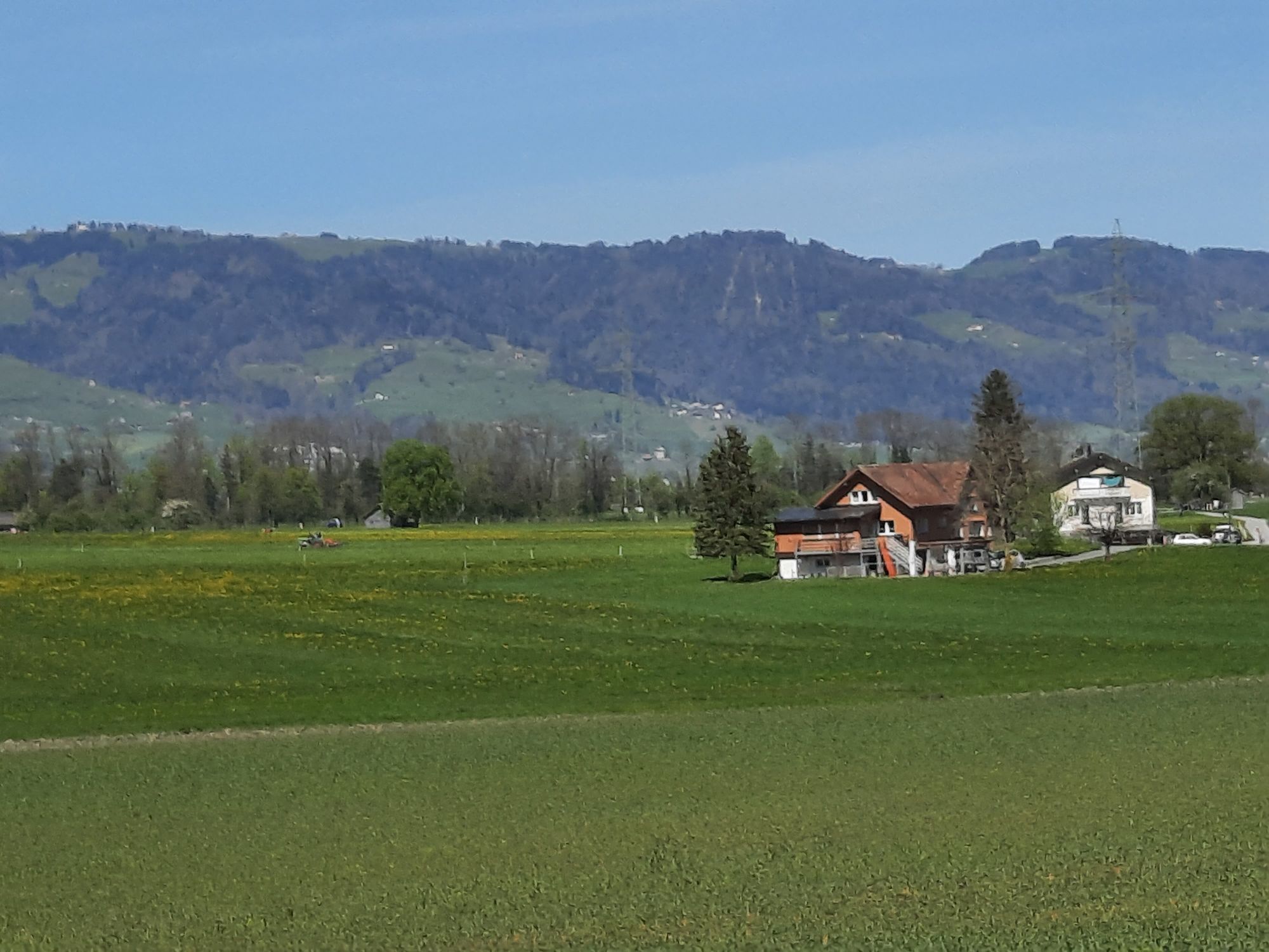
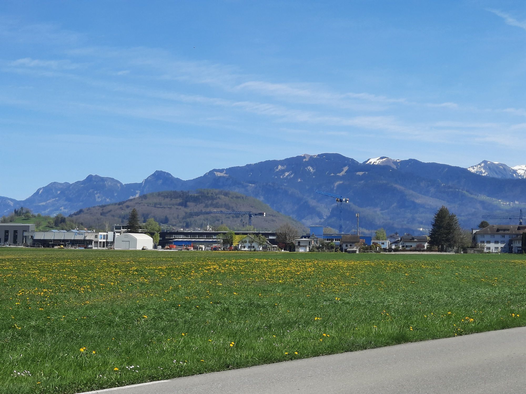
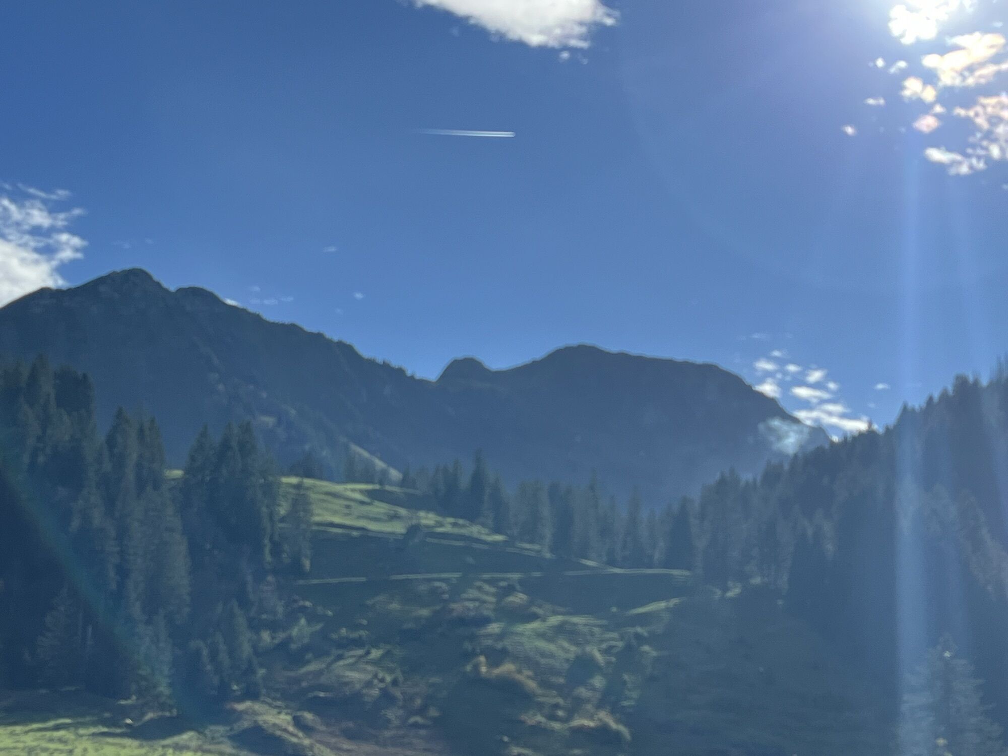
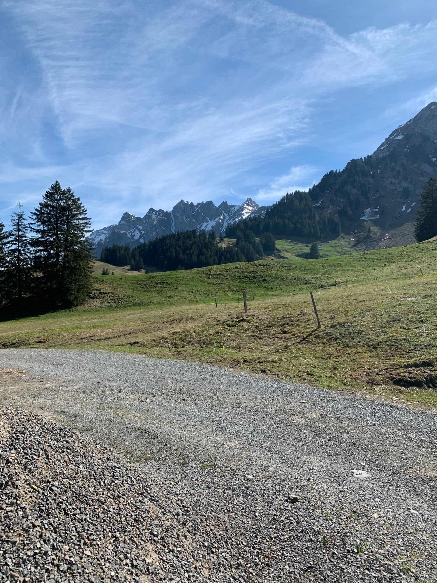
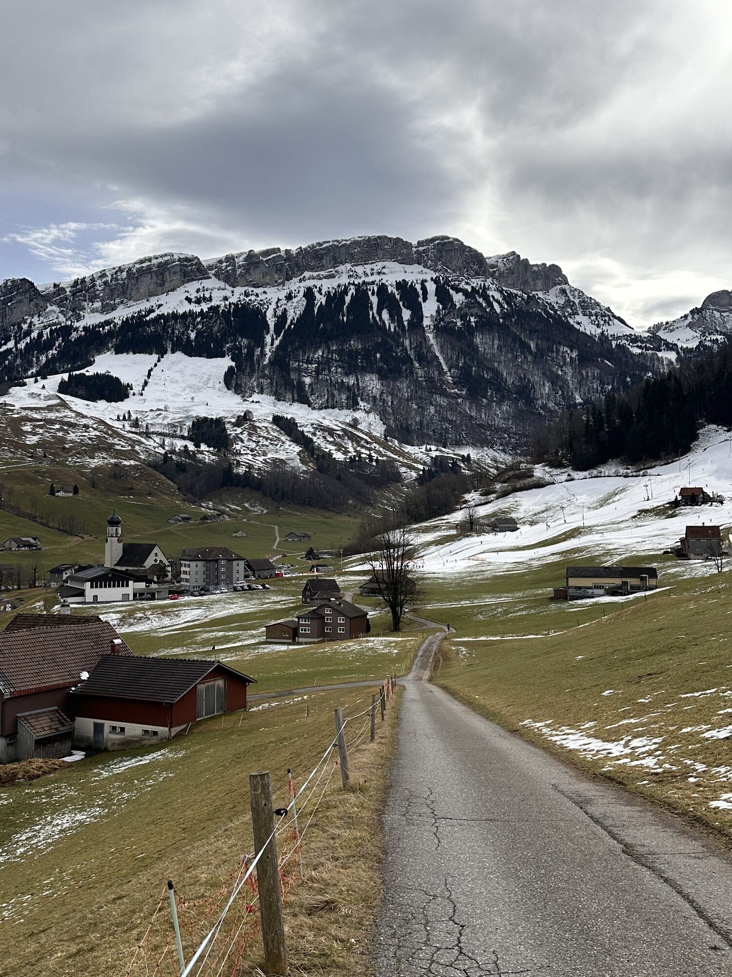
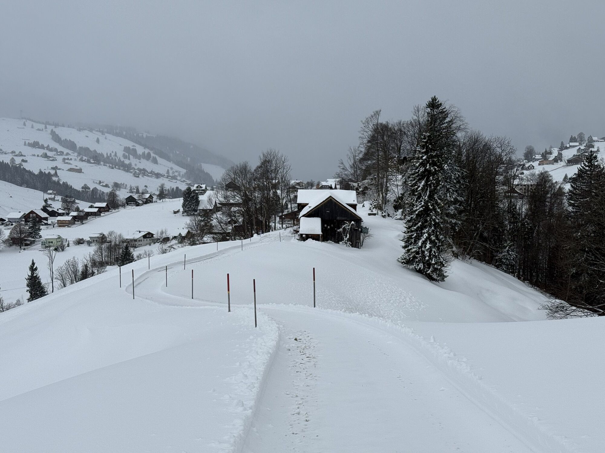
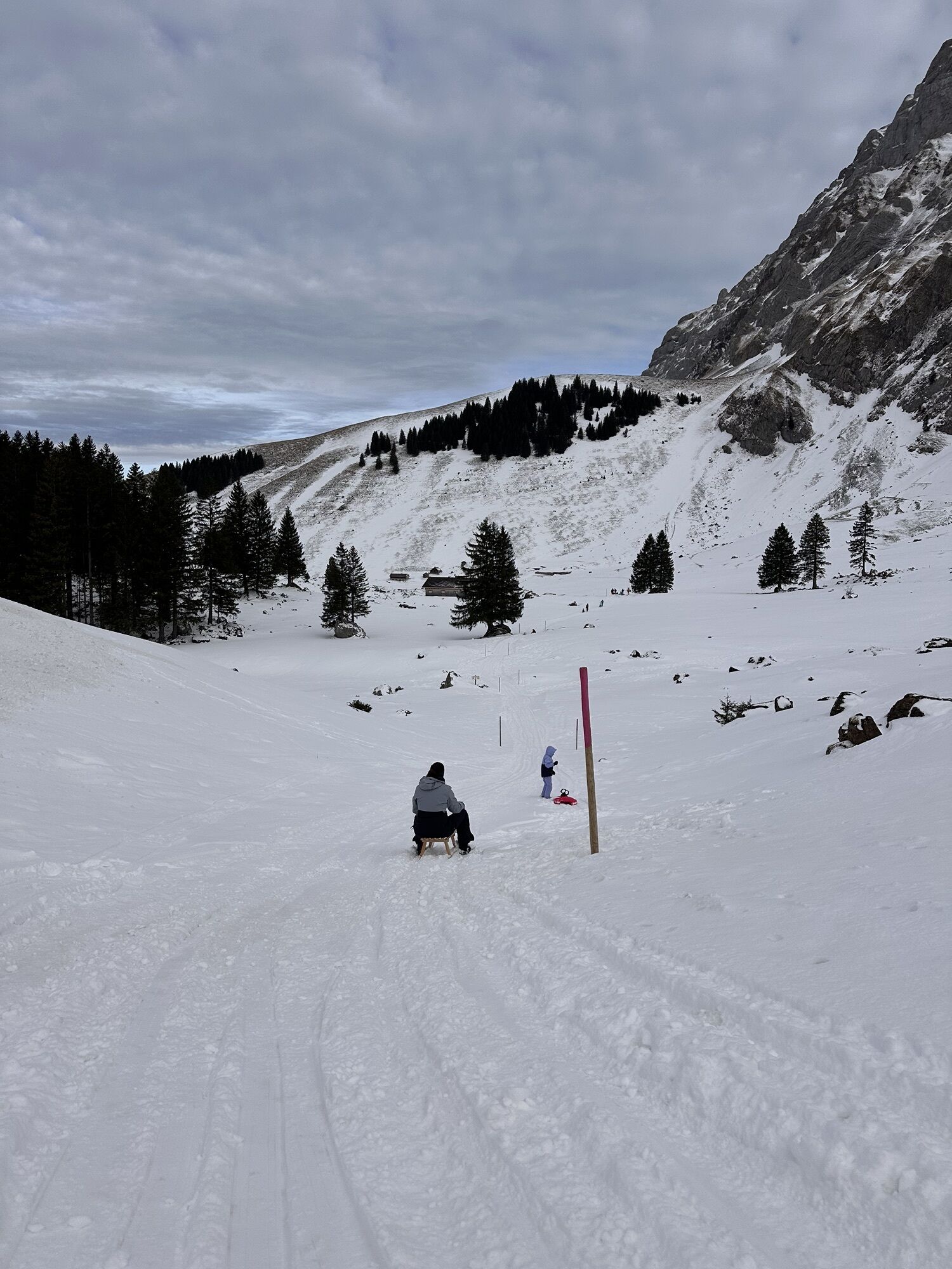
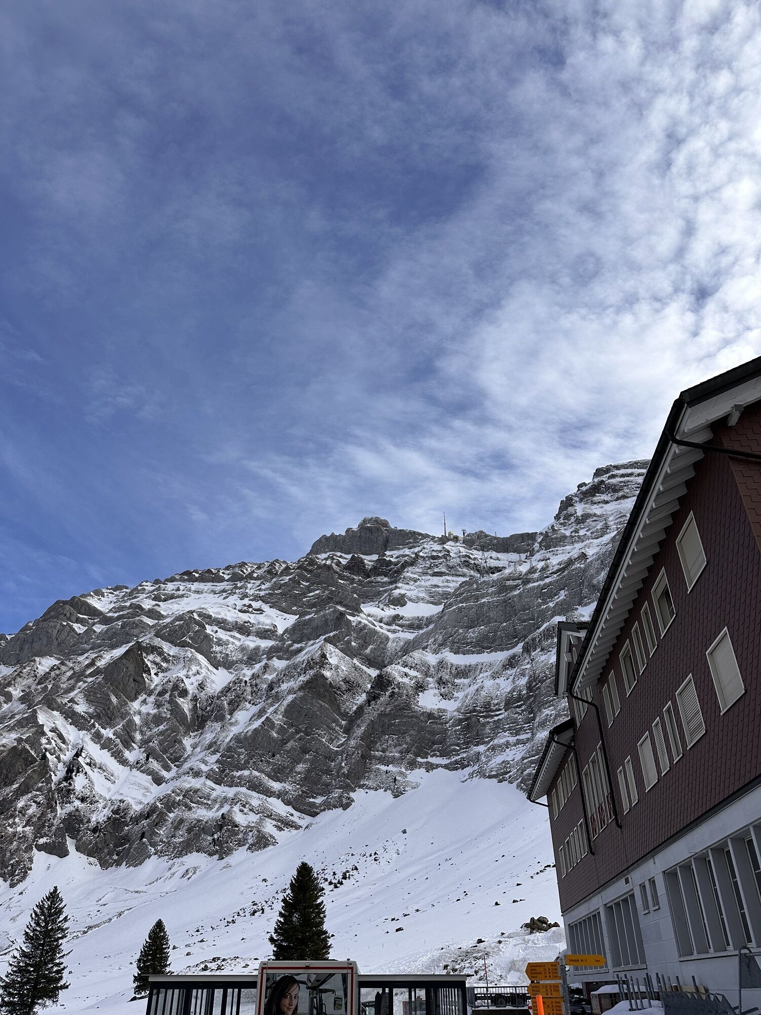
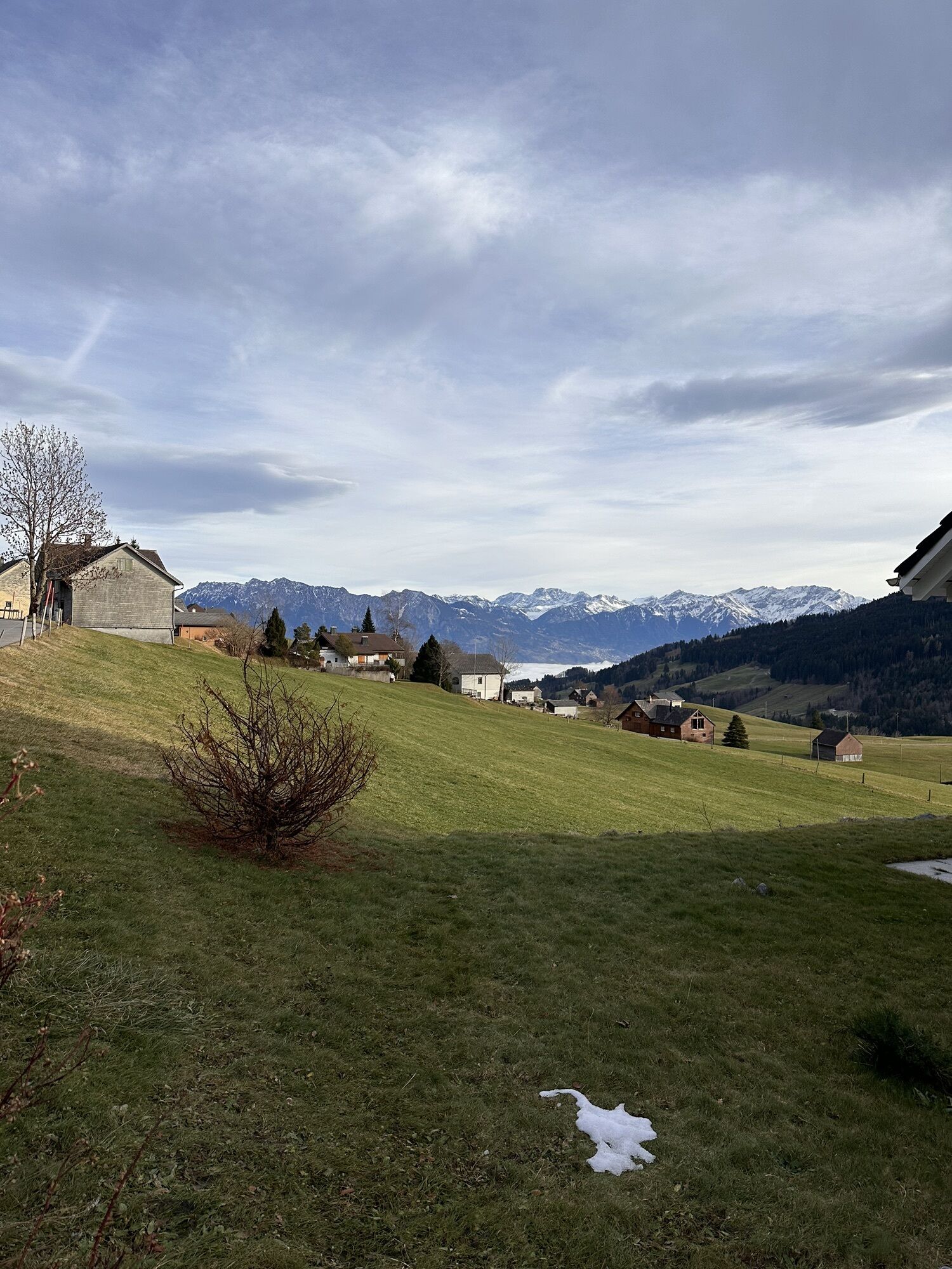
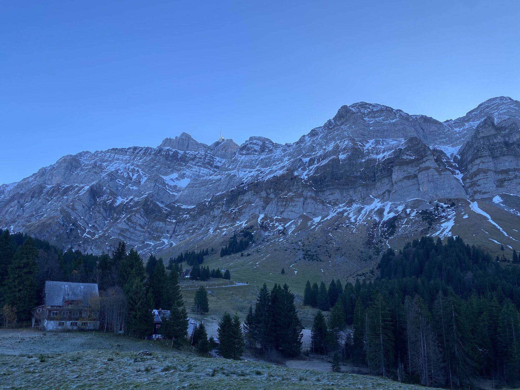
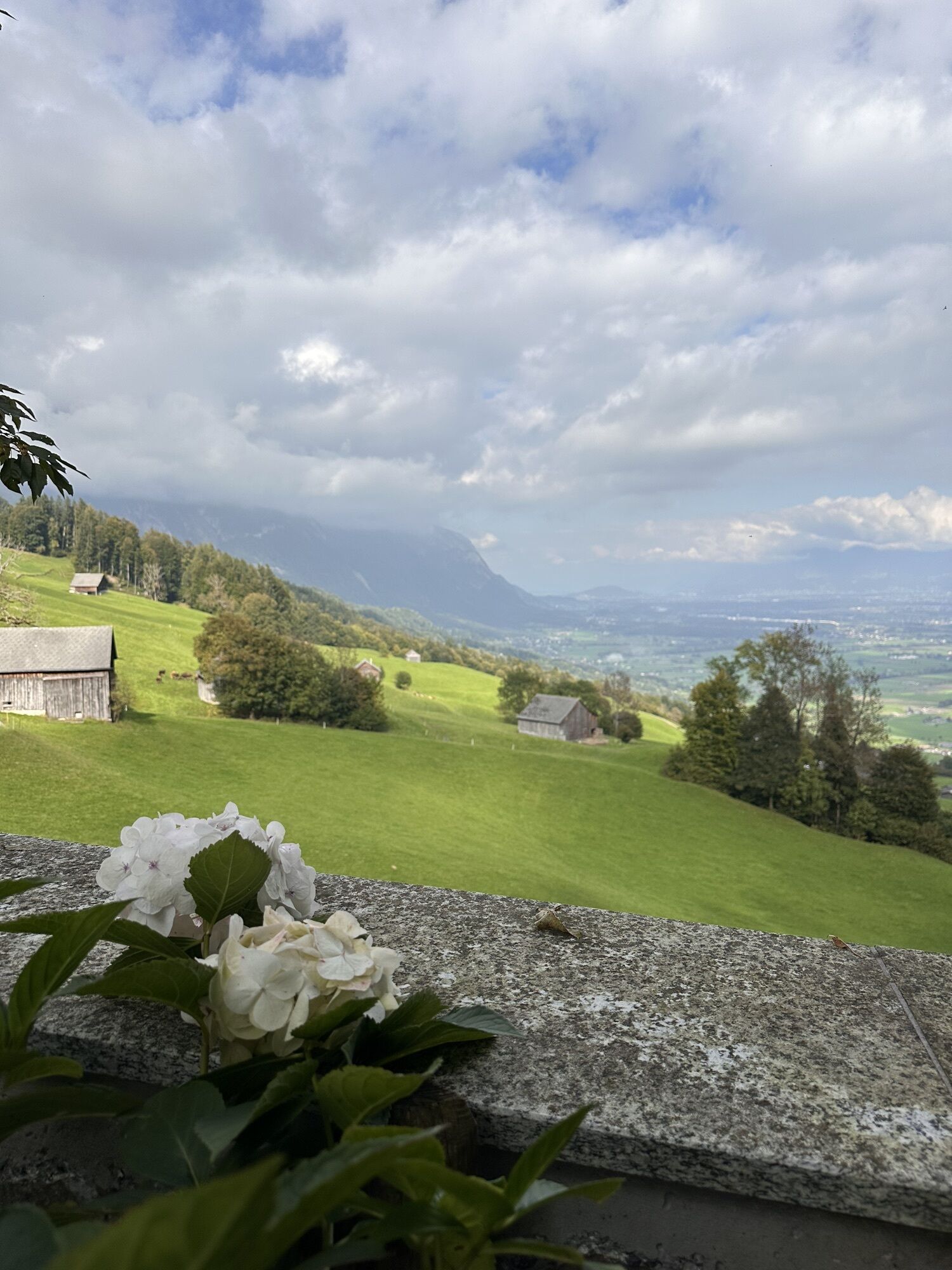
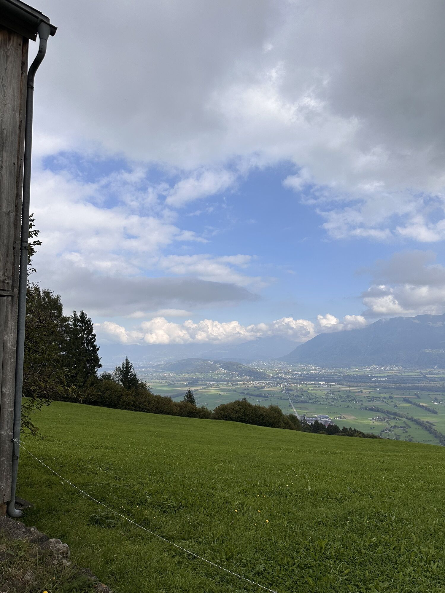
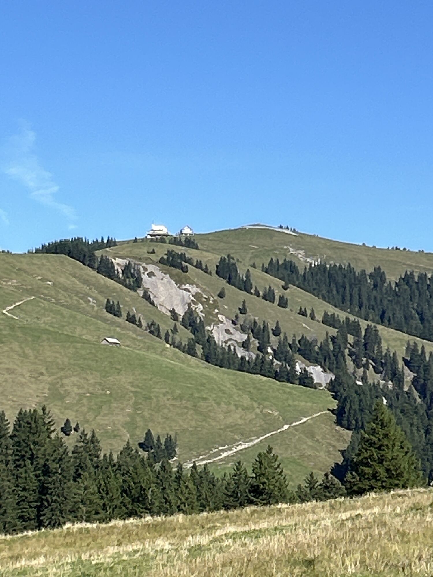
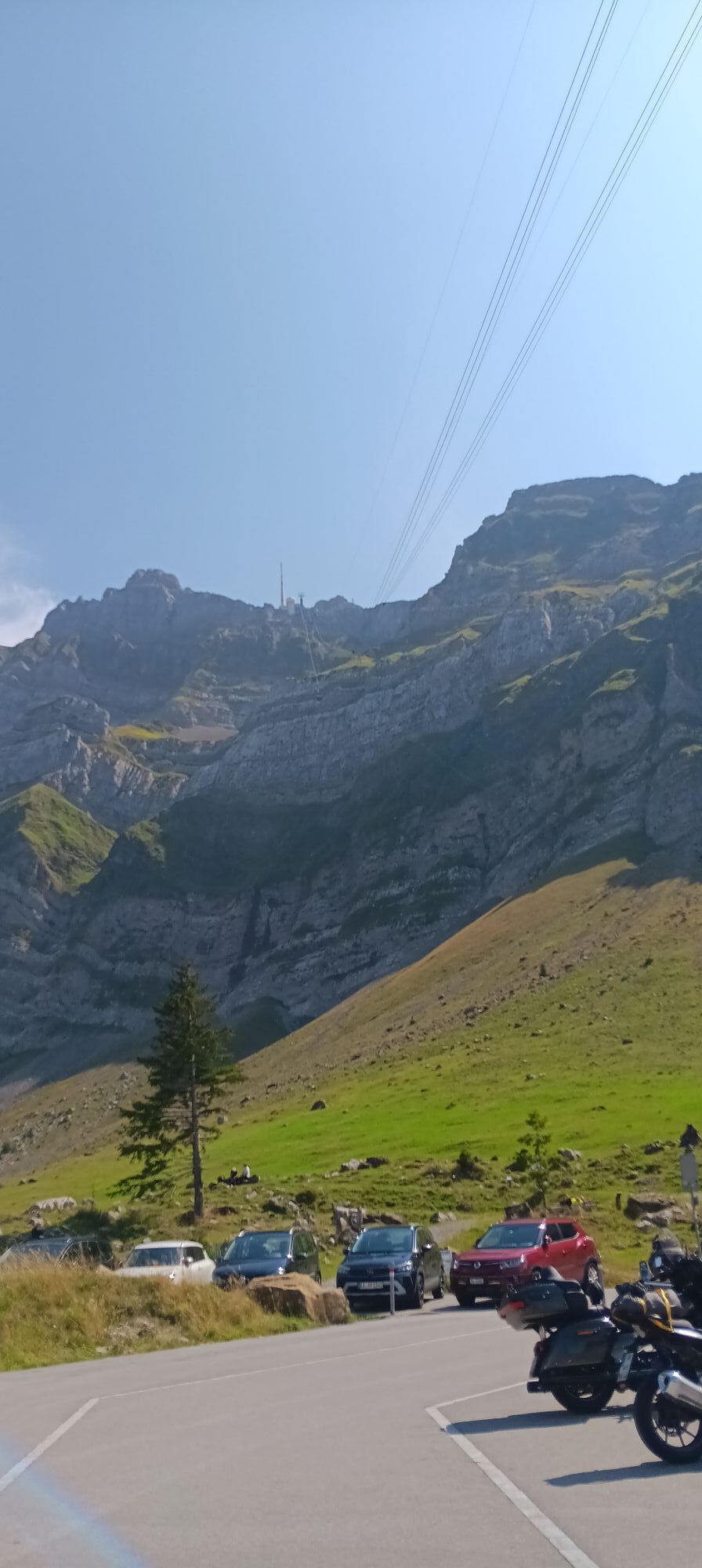
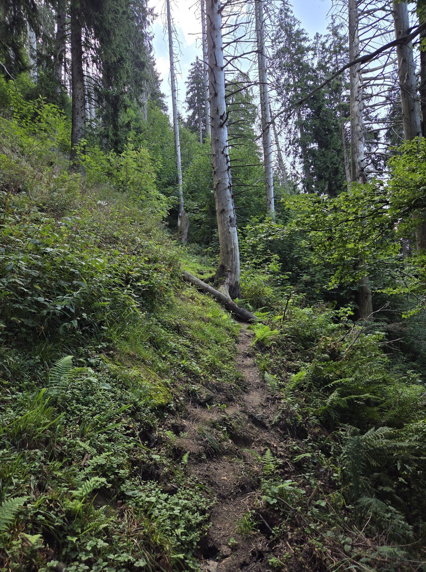
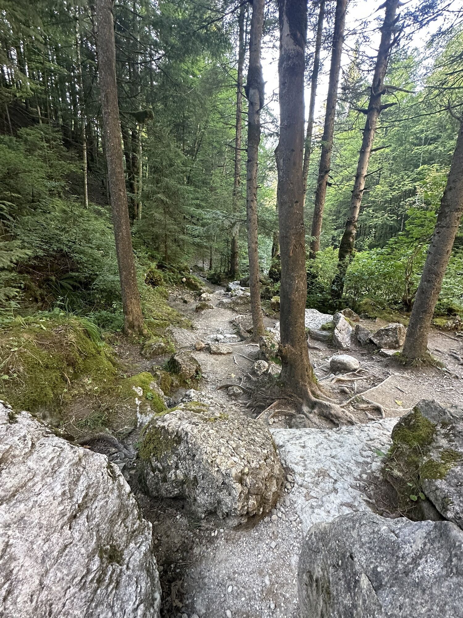
Fotos de nuestros usuarios
-
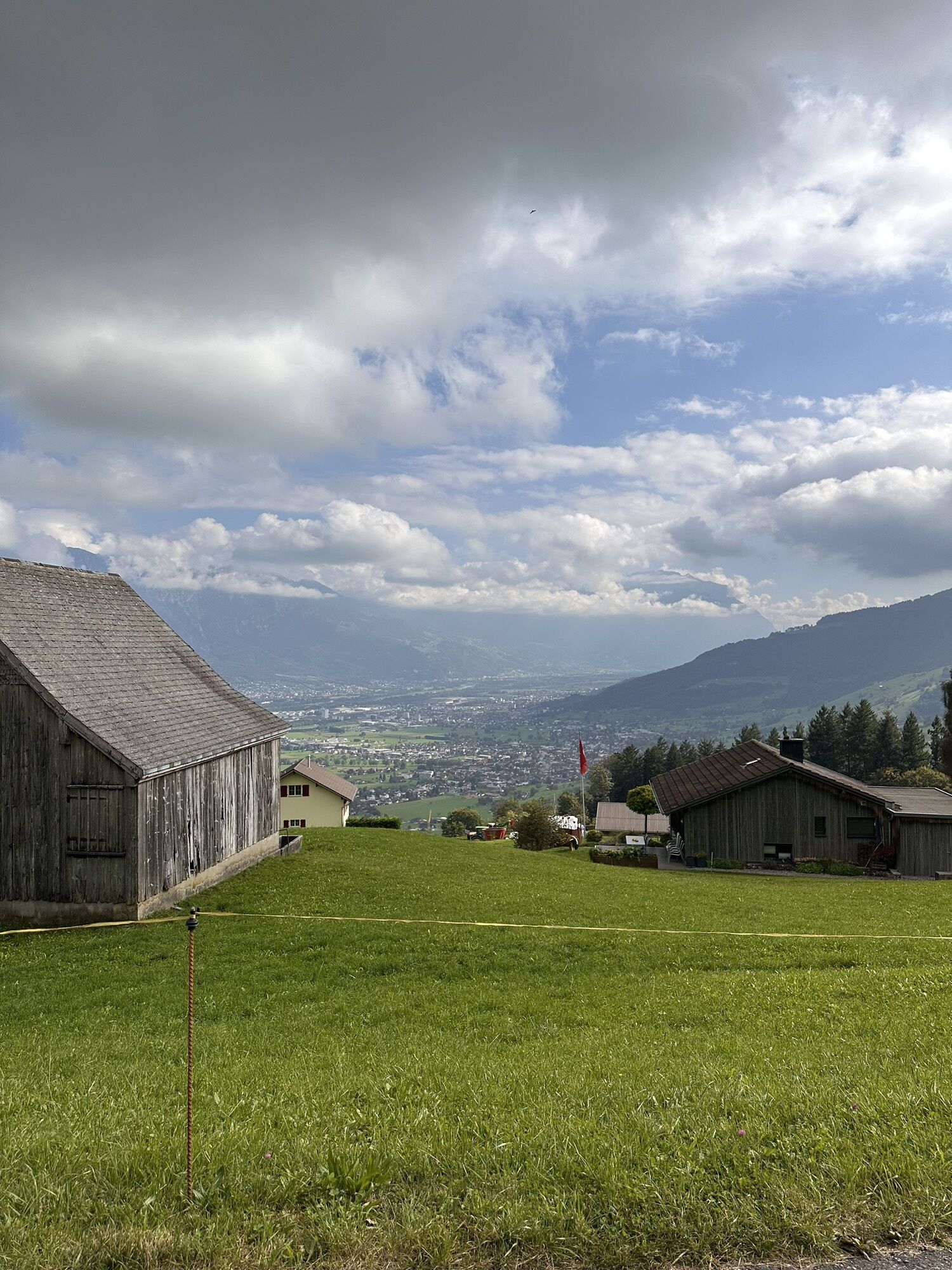
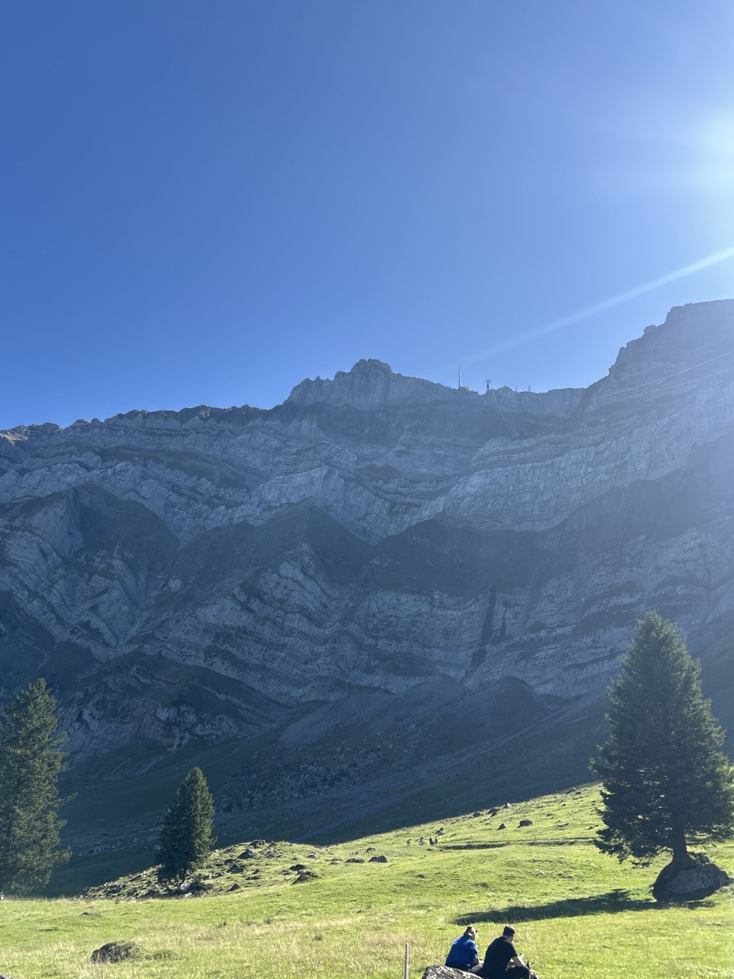
 © Peter WürmliCreado el 22.08.2025
 -
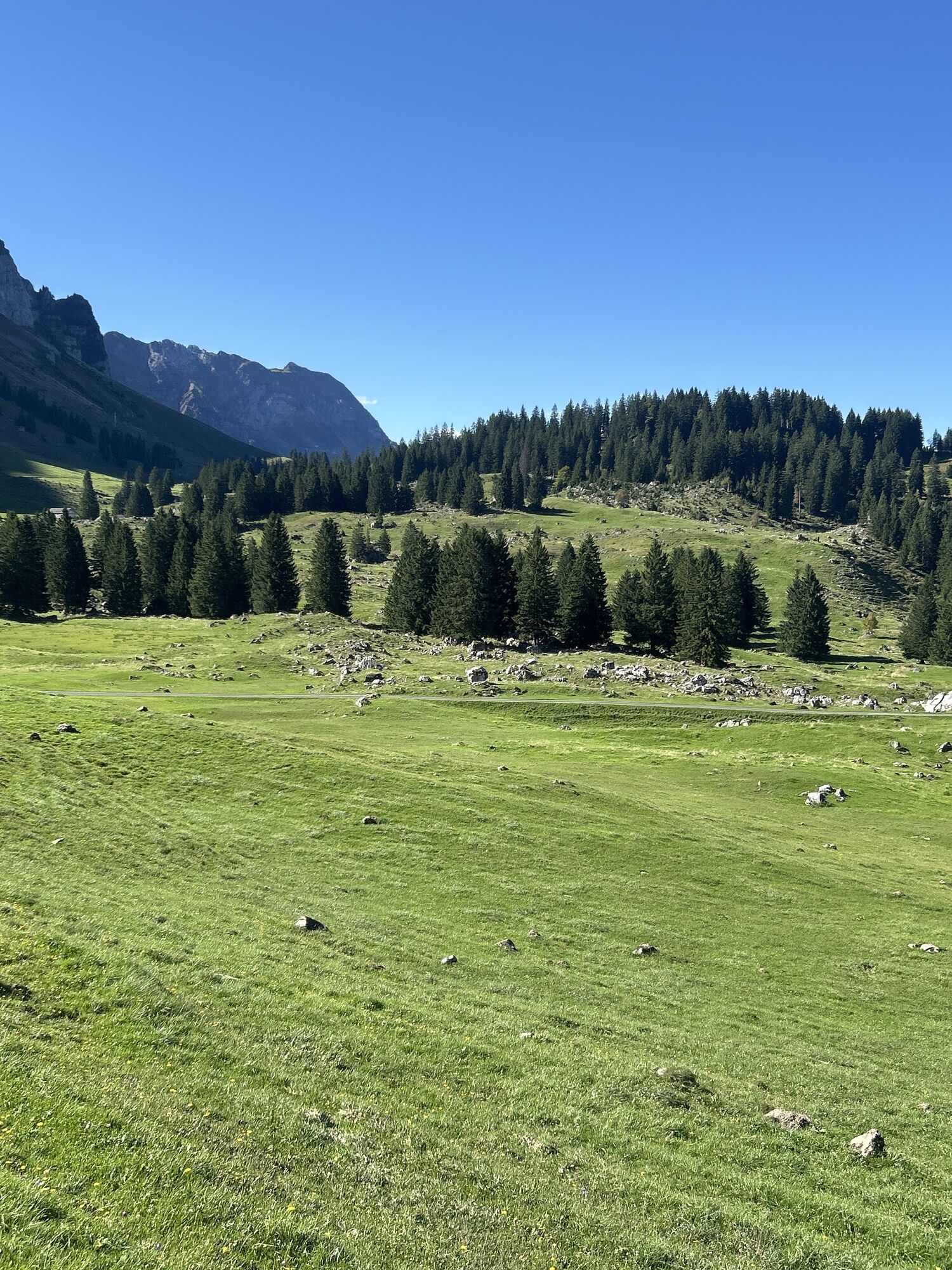
 © Peter WürmliCreado el 22.08.2025
 -
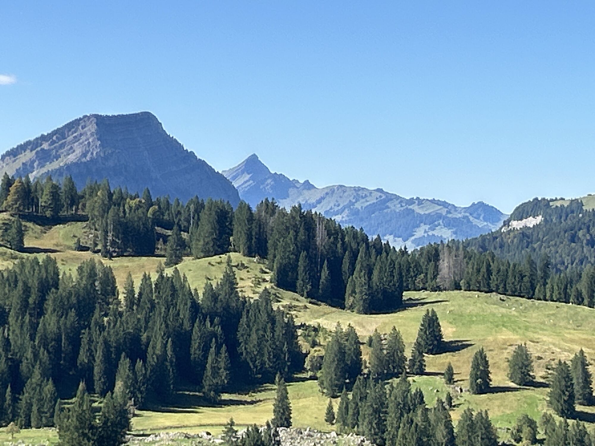
 © Peter WürmliCreado el 22.08.2025
 -
 © Peter WürmliCreado el 22.08.2025
 -
 © Peter WürmliCreado el 22.08.2025
 -
 © ZellwegerrogerCreado el 08.06.2025
 -
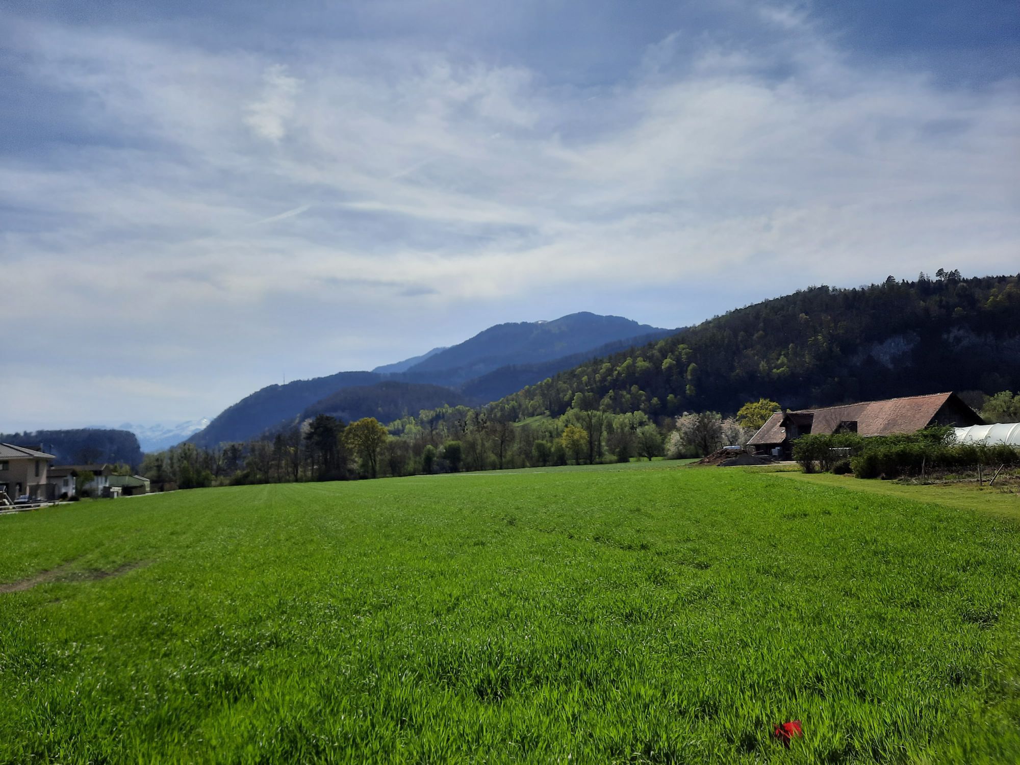
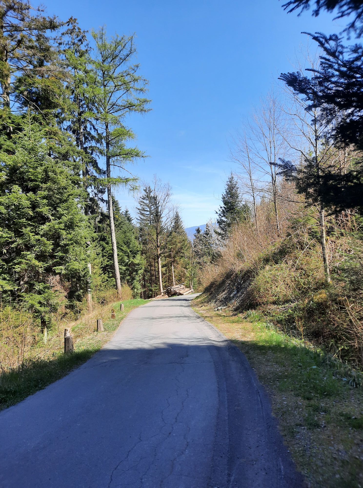
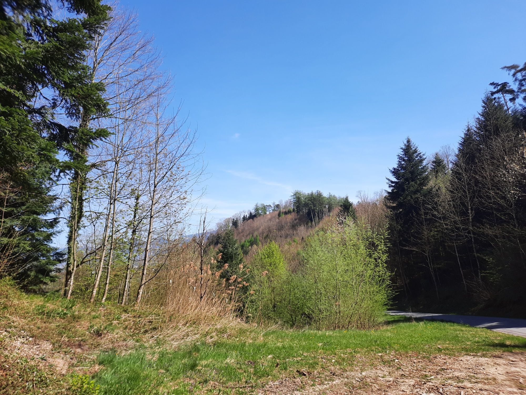
 © Monika gillitschkaCreado el 12.04.2025
 -
 © Monika gillitschkaCreado el 12.04.2025
 -
 © Monika gillitschkaCreado el 12.04.2025
 -
 © Monika gillitschkaCreado el 12.04.2025
 -
 © Monika gillitschkaCreado el 12.04.2025
 -
 © Peter WürmliCreado el 25.10.2024
 -
 © Ursula WernerCreado el 14.04.2024
 -
 © Agurjan KastratiCreado el 10.05.2026
 -
 © Cyrill BischofCreado el 22.02.2026
 -

 © Daniel HerzCreado el 17.02.2026
 -
 © Daniel HerzCreado el 17.02.2026
 -
 © Cyrill BischofCreado el 27.01.2026
 -
 © Cyrill BischofCreado el 27.01.2026
 -
 © Cyrill BischofCreado el 15.12.2025
 -
 © Cyrill BischofCreado el 15.12.2025
 -
 © TurbinioCreado el 08.11.2025
 -
 © David AmreinCreado el 08.11.2025
 -
 © Cyrill BischofCreado el 29.09.2025
 -
 © Cyrill BischofCreado el 29.09.2025
 -
 © Cyrill BischofCreado el 29.09.2025
 -
 © Ewald ZweifelCreado el 20.09.2025
 -
 © Ewald ZweifelCreado el 20.09.2025
 -
 © Ewald ZweifelCreado el 20.09.2025
 -
 © Ewald ZweifelCreado el 20.09.2025
 -
 © Ewald ZweifelCreado el 20.09.2025
 -
 © Ewald ZweifelCreado el 20.09.2025
 -
 © Franz Rieder 2Creado el 27.08.2025
 -
 © SvenCreado el 15.08.2025
 -
 © SvenCreado el 15.08.2025
 -
 © Cyrill BischofCreado el 11.08.2025
 -
 © Cyrill BischofCreado el 11.08.2025
 -
 © Cyrill BischofCreado el 11.08.2025
 -
 © Cyrill BischofCreado el 11.08.2025
 -
 © Cyrill BischofCreado el 11.08.2025
 -

 © Senar MisiniCreado el 29.06.2025
 -
 © TurbinioCreado el 24.06.2025
 -
 © Passport1405Creado el 18.05.2025
 -
 © FábiCreado el 13.04.2025
 -
 © Daniel HerzCreado el 05.04.2025


Ruta
Chäsmoos-Kapelle
(813 m)
Lugar de culto
15,0 km
Weissbad
(829 m)
Pueblo
17,1 km
Siebenhütten
(1.333 m)
Liquidación
28,9 km
Alpwirtschaft Leser
(1.444 m)
Refugio
40,8 km
Katholische Kirche St. Bartholomäus
(1.104 m)
Lugar de culto
56,0 km
Müntschenberg
(635 m)
Liquidación
65,8 km
Frümsen
(448 m)
Pueblo
72,8 km
Ruta
Oberriet SG - Chäsmoos-Kapelle - Alpwirtschaft Leser - Katholische Kirche St. Bartholomäus
pesado
Mountainbike
85,71
km
Oberriet SG
(421 m)
Estación de ferrocarril
0,0 km
Restaurant Sternen
(420 m)
Restaurante
0,3 km
Oberriet
(421 m)
Pueblo
0,4 km
Fuchsplatz
(615 m)
Corredor/terreno
5,3 km
Neues Bild
(893 m)
Restaurante
12,0 km
Eggerstanden
(892 m)
Pueblo
12,1 km
Chäsmoos-Kapelle
(813 m)
Lugar de culto
15,0 km
Steinegg
(807 m)
Pueblo
15,4 km
Kapelle St. Magdalena
(799 m)
Lugar de culto
15,6 km
Weissbad
(820 m)
Estación de ferrocarril
16,9 km
Pizzeria Alpenhof
(818 m)
Restaurante
17,1 km
Weissbad
(829 m)
Pueblo
17,1 km
Hagtobel
(912 m)
Corredor/terreno
18,6 km
Untere Bickeren
(920 m)
Corredor/terreno
18,9 km
Althus
(932 m)
Corredor/terreno
19,6 km
Restaurant Warth
(940 m)
Restaurante
19,8 km
Eugst
(948 m)
Corredor/terreno
20,3 km
Restaurent Lehmen
(967 m)
Restaurante
21,0 km
Lehmen
(979 m)
Corredor/terreno
21,2 km
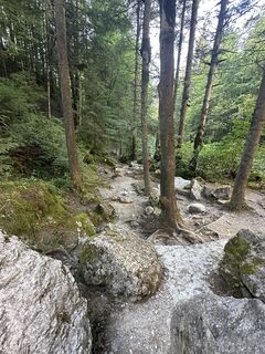
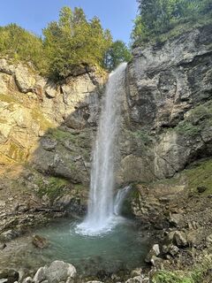
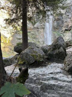
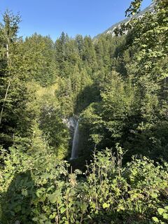
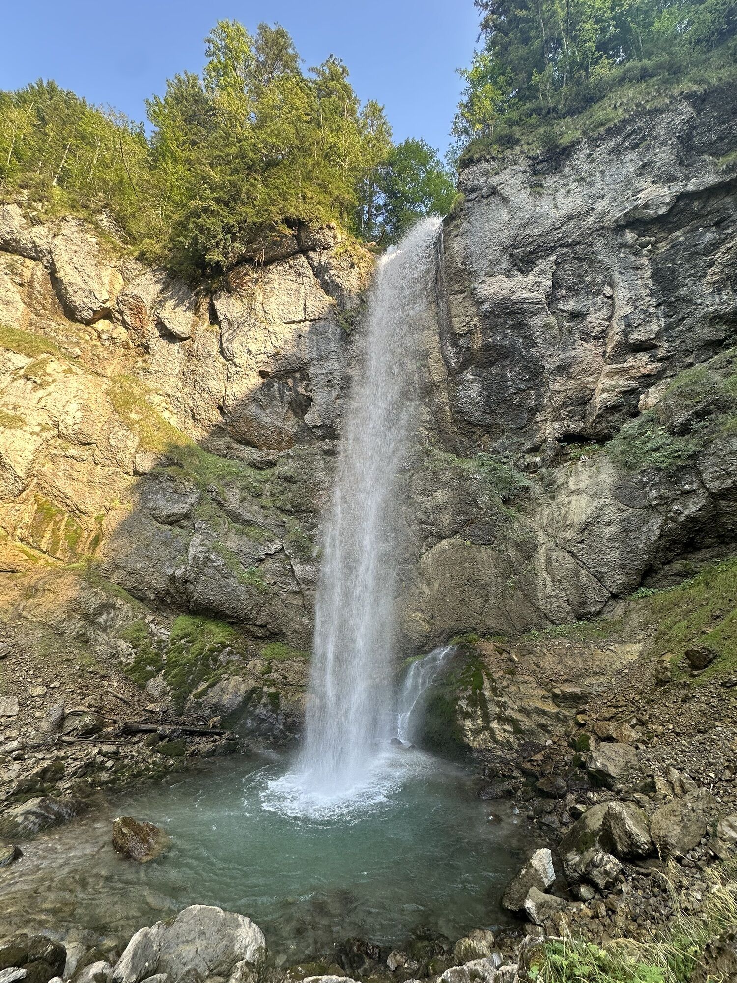
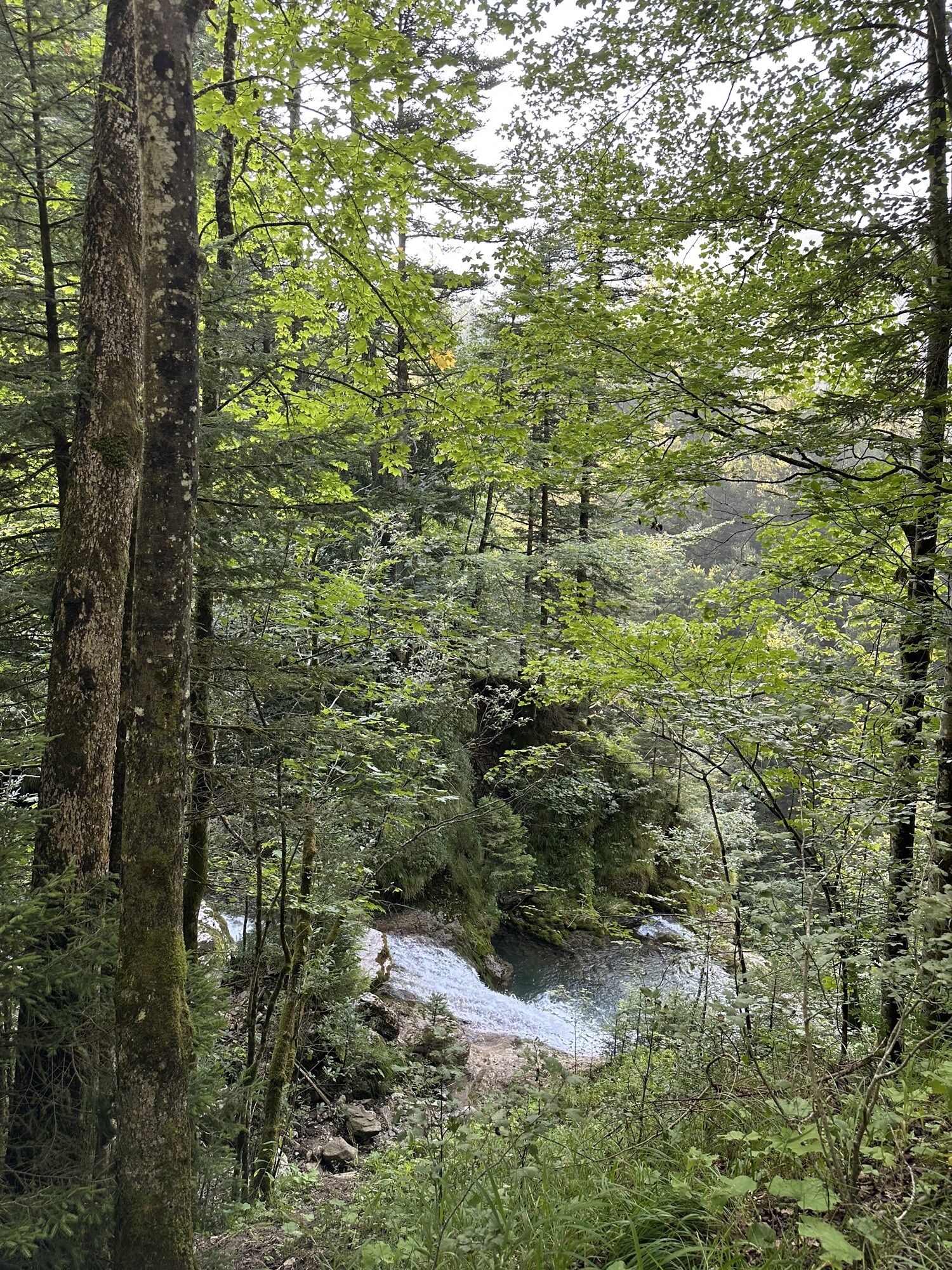
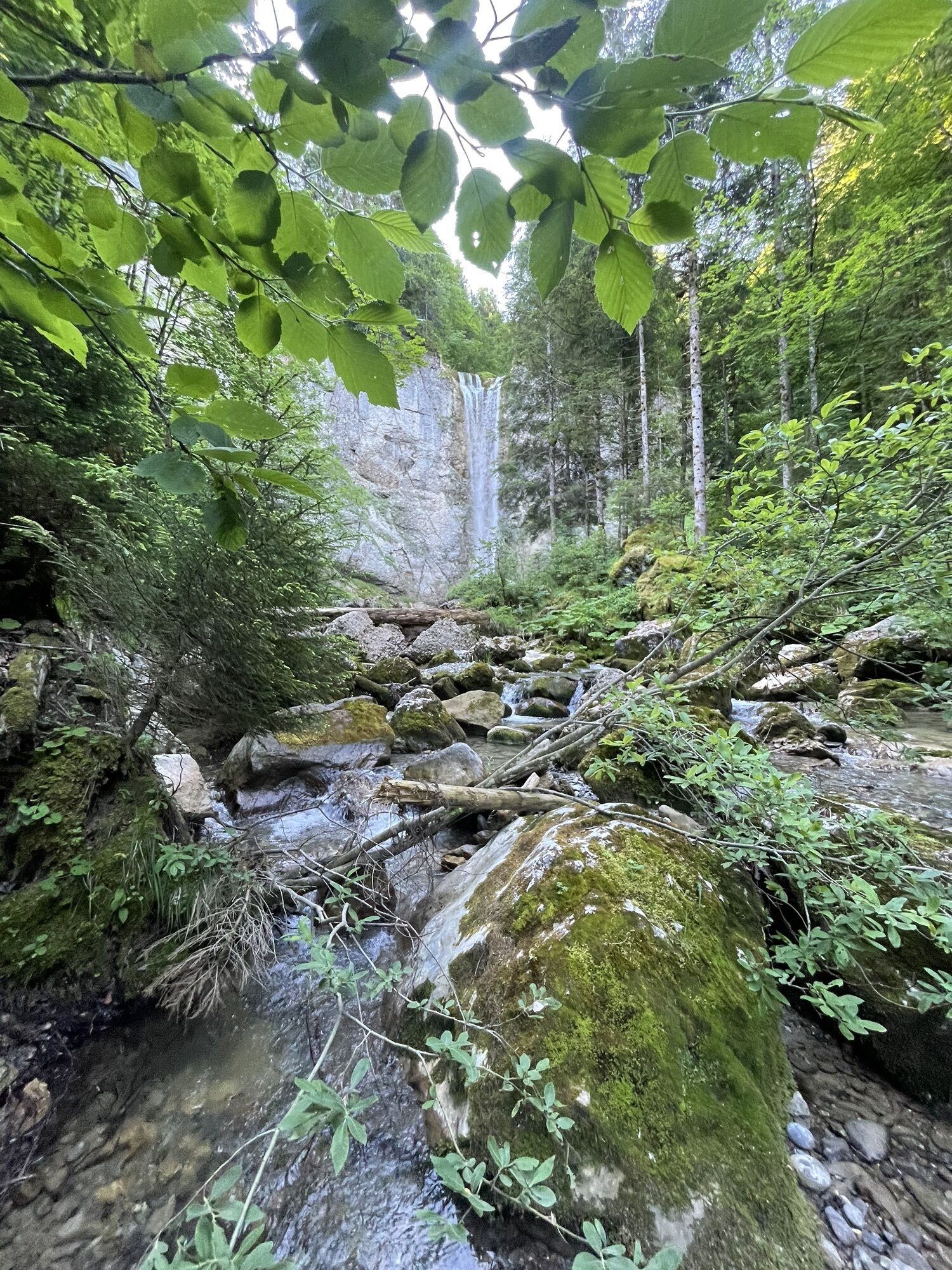
Leuenfall
(938 m)
Cascada
21,7 km
Siebenhütten
(1.333 m)
Liquidación
28,9 km
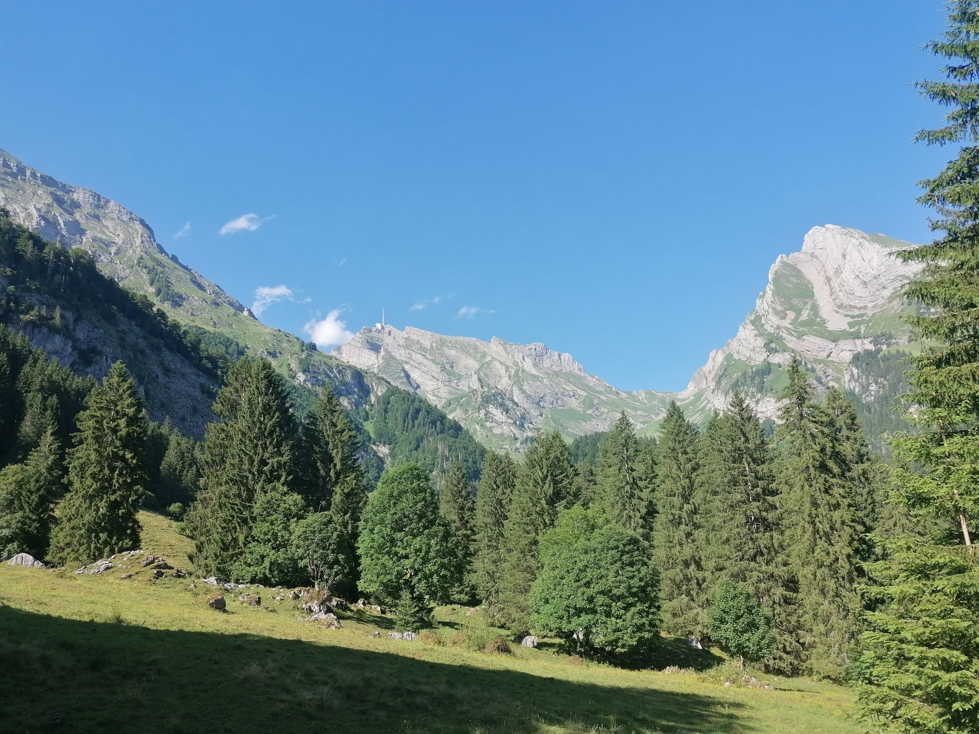
Schwägalp
(1.353 m)
Liquidación
30,1 km
Fernglas
(1.350 m)
Punto de vista
30,2 km
Gasthaus Passhöhe
(1.284 m)
Restaurante
31,0 km
Beieregg
(1.301 m)
Corredor/terreno
31,5 km
Schwarzegg
(1.293 m)
Corredor/terreno
31,7 km
Chegelboden
(1.336 m)
Corredor/terreno
32,4 km
Sunebühl (Neuhüttli)
(1.334 m)
Corredor/terreno
33,4 km
Lutertannen
(1.033 m)
Liquidación
37,1 km
Wagners Rank
(1.112 m)
Corredor/terreno
38,0 km
Riet
(1.277 m)
Corredor/terreno
39,5 km
Alpwirtschaft Leser
(1.444 m)
Refugio
40,8 km
Risi
(1.439 m)
Corredor/terreno
41,8 km
Unterstofel
(1.325 m)
Corredor/terreno
46,1 km
Oberstofel
(1.401 m)
Corredor/terreno
47,0 km
Risi
(1.325 m)
Corredor/terreno
48,3 km
Laui
(1.071 m)
Corredor/terreno
51,6 km
Plattenweid
(1.061 m)
Corredor/terreno
53,1 km
Brand
(1.086 m)
Corredor/terreno
53,4 km
Lisighaus
(1.046 m)
Barrio
55,0 km
Zaun
(1.086 m)
Corredor/terreno
55,5 km
Wies
(1.101 m)
Corredor/terreno
55,6 km
Wildhaus
(1.090 m)
Pueblo
56,0 km
Katholische Kirche St. Bartholomäus
(1.104 m)
Lugar de culto
56,0 km
Schönenboden
(1.117 m)
Liquidación
58,0 km
Wisselen
(1.105 m)
Corredor/terreno
59,7 km
Heeg
(1.057 m)
Corredor/terreno
60,8 km
Bergli
(791 m)
Corredor/terreno
63,8 km
Hardegg
(778 m)
Corredor/terreno
64,1 km
Müntschenberg
(635 m)
Liquidación
65,8 km
Schneggen
(597 m)
Corredor/terreno
66,5 km
Bad
(563 m)
Corredor/terreno
66,7 km
Chalchofen
(527 m)
Corredor/terreno
67,2 km
Gasenzen
(484 m)
Pueblo
67,7 km
Rofisbach
(482 m)
Pueblo
68,9 km
Sax
(480 m)
Pueblo
70,5 km
Schlösslihof
(450 m)
Corredor/terreno
71,4 km
Käserei
(440 m)
Corredor/terreno
72,3 km
Besenbeizli
(446 m)
Restaurante
72,8 km
Frümsen
(448 m)
Pueblo
72,8 km
Bodenagger
(458 m)
Barrio
75,0 km
Äugstisriet
(451 m)
Liquidación
75,0 km
Sennwald
(457 m)
Pueblo
76,1 km
Rüthi (Rheintal)
(428 m)
Pueblo
80,8 km
Oberriet
(421 m)
Pueblo
85,2 km
Oberriet SG
(421 m)
Estación de ferrocarril
85,7 km
Autor
Proporcionado por Bergfex Tour Generator
Compartir gira
Oberriet SG - Chäsmoos-Kapelle - Alpwirtschaft Leser - Katholische Kirche St. Bartholomäus
pesado
Mountainbike
85,71
km
Error
Se ha producido un error. Por favor, inténtelo de nuevo.
Aún no hay opiniones
Webcams del recorrido
-
Lisighaus - Wildhaus
-
Gamsalp - Wildhaus
-
Ebenalp - Luftseilbahn Wasserauen
-
Stein
-
Skilifte Alpsteinblick
-
Skilifte Alpsteinblick
-
Stein
-
Loipenhöttli Gonten
-
Loipenhöttli Gonten
-
Landgasthof Eischen - Appenzell
-
Appenzell - Hauptgasse
-
Hoher Kasten - Drehrestaurant
-
Hoher Kasten - Drehrestaurant
-
Hoher Hirschberg
-
Iltios - Chäserrugg
-
Hoher Kasten
-
Röthis Ost
-
Röthis West
-
Hoher Kasten
-
Hoher Kasten
-
Hoher Kasten
-
Hoher Kasten
-
Hoher Kasten
-
Hoher Kasten
-
Hoher Kasten
-
Golfclub Montfort Rankweil
-
Gamplüt Bergrestaurant
-
Feldkirch / Nofels
-
Feldkirch / Bangs
-
Alp Sellamatt
-
Zinggen
-
Ebenalp
-
Schwägalp Säntis
-
Leugangen
-
Gasthof Bären Schlatt
-
Kronberg
-
Feldkirch / Nofels
-
Berggasthaus Alter Säntis
-
Berggasthaus Alter Säntis
Rutas populares en los alrededores
-
4,7
Wasserauen - Seealpsee - Wasserauen
medioSenderismo 7,71 km -
4,6
Tour Brülisau - Saxerlücke - Hoherkasten⛰
pesadoSenderismo 16,6 km -
4,9
Säntis-Gipfeltour, Wasserauen / Appenzell Innerrhoden
pesadoSenderismo 21,1 km -
5,0
Staubern-Runde (15.8.2021)
medioSenderismo 8,65 km -
4,8
2 Seenwanderung Sämtisersee und Fälensee
medioSenderismo 14,6 km -
5,0
Traumhafte 3-Seen/Hütten Runde in Appenzell Schweiz
medioExcursión de alta montaña 19,7 km -
4,6
Schwägalp - Berggasthaus Tierwies - Girenspitz - Säntis
pesadoSenderismo 4,83 km -
4,6
Frümsen - Saxerlücke - Staubern, Schweiz
medioSenderismo 14,0 km -
4,9
Schwende, Appenzell Innerrhoden
medioSenderismo 11,8 km -
5,0
Staubern
pesadoSenderismo 9,48 km

Senderismo y rastreo

Más de 550.000 sugerencias de excursiones, mapas detallados y un intuitivo planificador de rutas hacen de esta aplicación una herramienta imprescindible para todos los amantes de la naturaleza.

No se pierda las ofertas y la inspiración para sus próximas vacaciones
Suscribirse al boletín de noticias
Error
Se ha producido un error. Por favor, inténtelo de nuevo.
Gracias por inscribirse
Su dirección de correo electrónico se ha añadido a la lista de correo.
Viajes por Europa
Austria
Suiza
Alemania
Italia
Eslovenia
Francia
Países Bajos
Belgium
Polonia
Liechtenstein
República Checa
Slovakia
España
Croacia
Bosnia y Herzegovina
Luxemburgo
Andorra
Portugal
Iceland
United Kingdom
Ireland
Greece
Albania
North Macedonia
Malta
Norway
Montenegro
Moldova
Kosovo
Hungary
San Marino
Romania
Estonia
Latvia
Belarus
Cyprus
Lithuania
Serbia
Bulgaria
Monaco
Denmark
Sweden
Finland