


Wanderung Grünau-Zwillingskogel-Wandlkogel->Mairalm-Traunsee
Fotos de nuestros usuarios
-
 © Dan Hiker 8Creado el 27.04.2026
 -
 © Edith K.Creado el 18.04.2026
 -
 © Edith K.Creado el 18.04.2026
 -
 © Edith K.Creado el 18.04.2026
 -
 © Natur_erleben_dgCreado el 09.04.2026
 -
 © Renate SighartnerCreado el 28.03.2026
 -
 © MarkusCreado el 15.03.2026
 -
 © MarkusCreado el 15.03.2026
 -
 © MarkusCreado el 15.03.2026
 -
 © Margit Leitner 1Creado el 03.03.2026
 -
 © Margit Leitner 1Creado el 03.03.2026
 -
 © Margit Leitner 1Creado el 03.03.2026
 -
 © Margit Leitner 1Creado el 03.03.2026
 -
 © Margit Leitner 1Creado el 03.03.2026
 -
 © Margit Leitner 1Creado el 03.03.2026
 -
 © Margit Leitner 1Creado el 03.03.2026
 -
 © Edith K.Creado el 11.01.2026
 -
 © Edith K.Creado el 11.01.2026
 -
 © Edith K.Creado el 11.01.2026
 -
 © Edith K.Creado el 11.01.2026
 -
 © Natur_erleben_dgCreado el 04.01.2026
 -
 © Natur_erleben_dgCreado el 04.01.2026
 -
 © Natur_erleben_dgCreado el 04.01.2026
 -
 © Natur_erleben_dgCreado el 04.01.2026
 -
 © Natur_erleben_dgCreado el 04.01.2026
 -
 © Natur_erleben_dgCreado el 04.01.2026
 -
 © Natur_erleben_dgCreado el 04.01.2026
 -
 © Regina FleischmannCreado el 22.12.2025
 -
 © Regina FleischmannCreado el 22.12.2025
 -
 © Regina FleischmannCreado el 22.12.2025
 -
 © Regina FleischmannCreado el 22.12.2025
 -
 © Regina FleischmannCreado el 22.12.2025
 -
 © Regina FleischmannCreado el 22.12.2025
 -
 © Regina FleischmannCreado el 22.12.2025
 -
 © Regina FleischmannCreado el 22.12.2025
 -
 © Regina FleischmannCreado el 22.12.2025
 -
 © Regina FleischmannCreado el 22.12.2025
 -
 © Regina FleischmannCreado el 22.12.2025
 -
 © Nadine A.Creado el 18.12.2025
 -
 © Nadine A.Creado el 18.12.2025
 -
 © Natur_erleben_dgCreado el 12.11.2025
 -
 © Natur_erleben_dgCreado el 12.11.2025
 -
 © Natur_erleben_dgCreado el 12.11.2025
 -
 © Natur_erleben_dgCreado el 06.11.2025
 -
 © Natur_erleben_dgCreado el 06.11.2025
 -
 © Natur_erleben_dgCreado el 06.11.2025
 -
 © Natur_erleben_dgCreado el 08.10.2025
 -
 © Natur_erleben_dgCreado el 08.10.2025


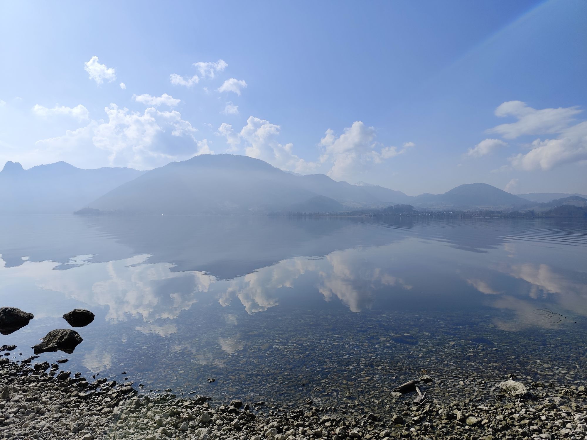
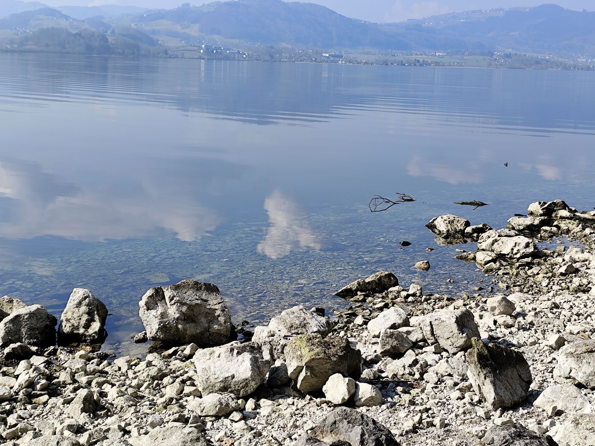


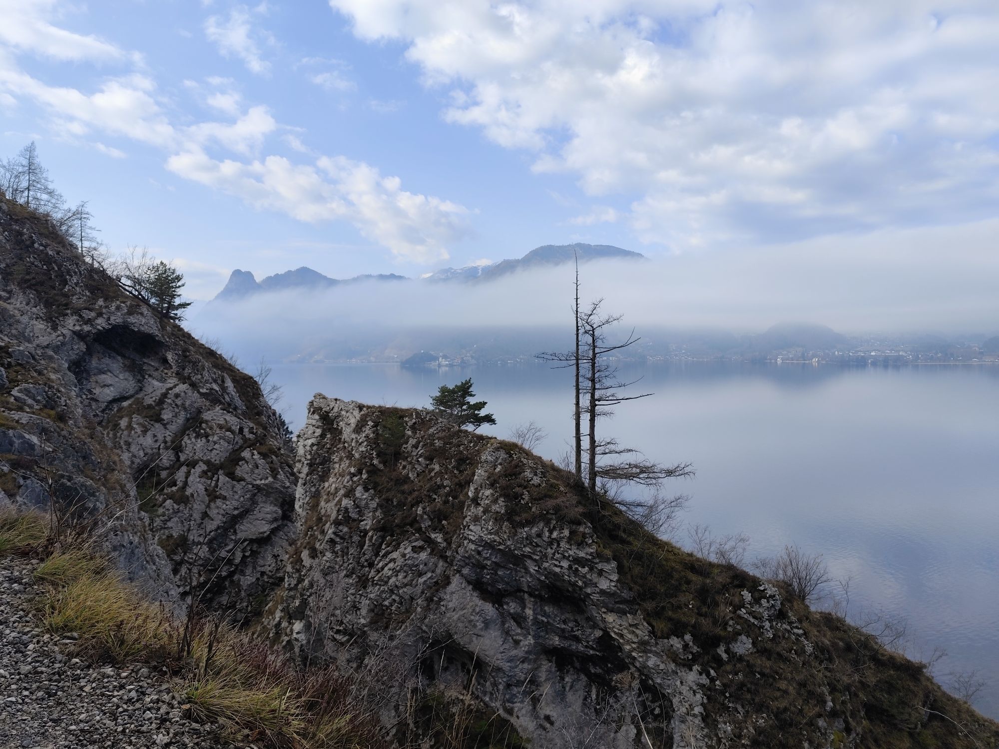
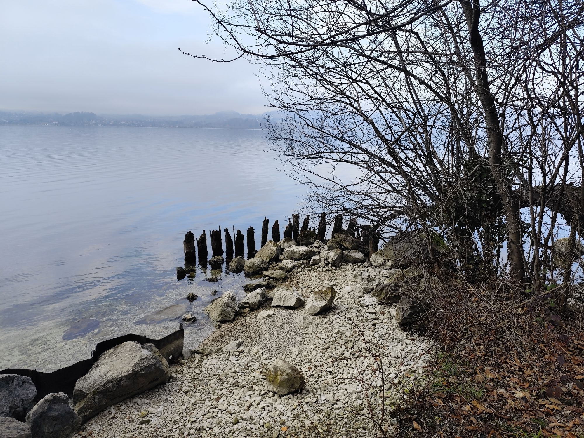


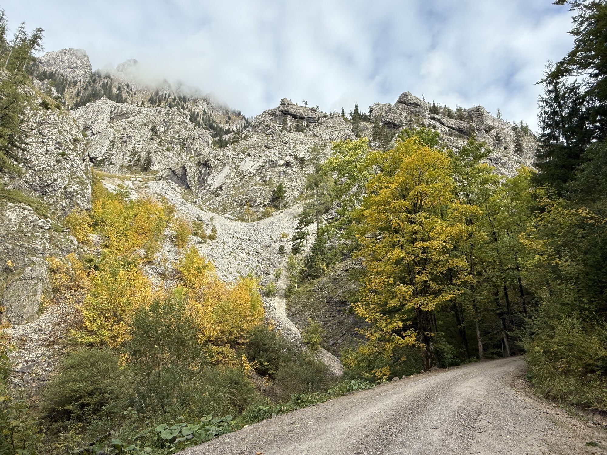
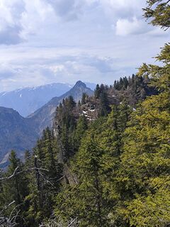
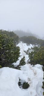
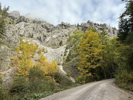
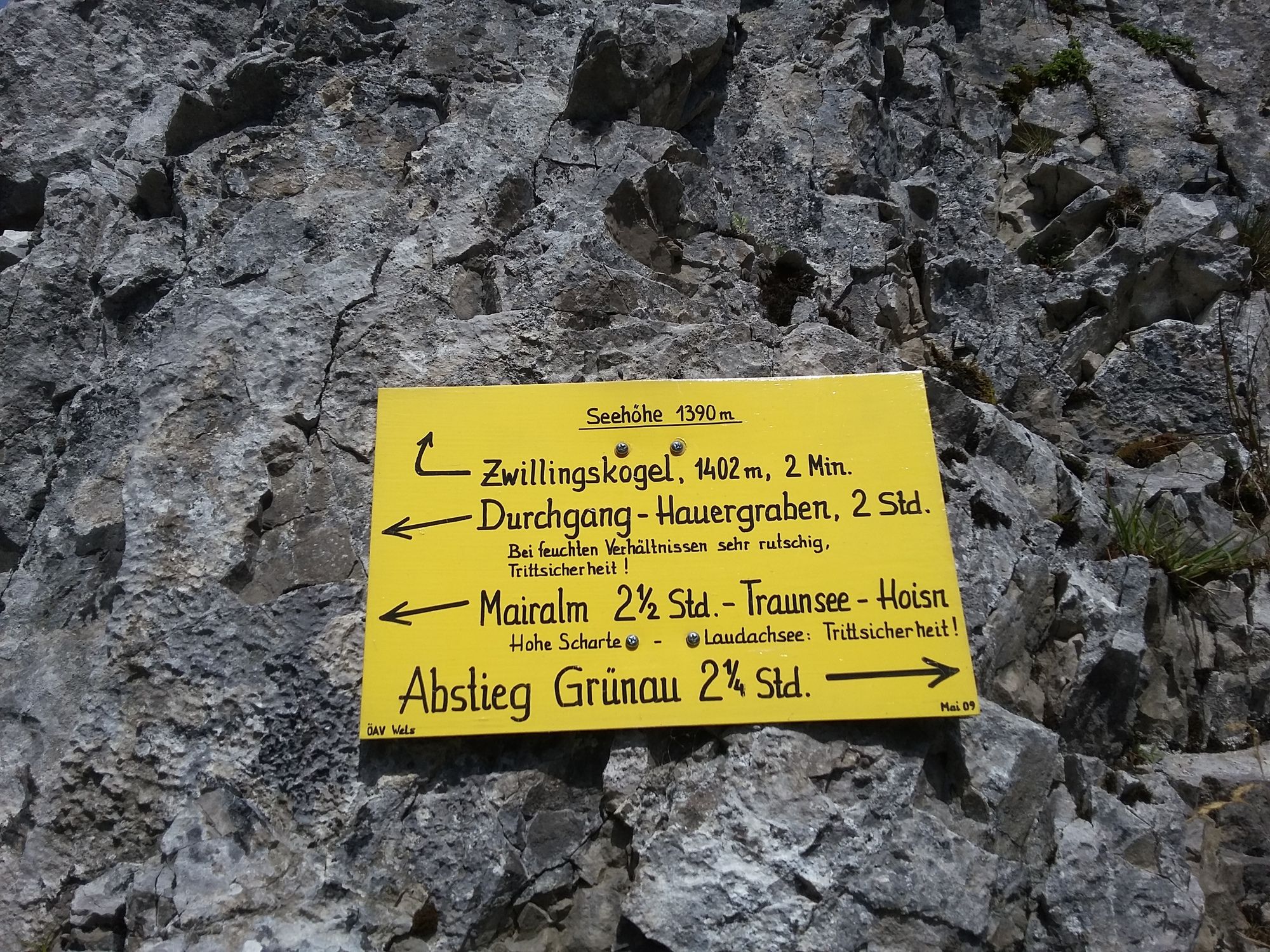
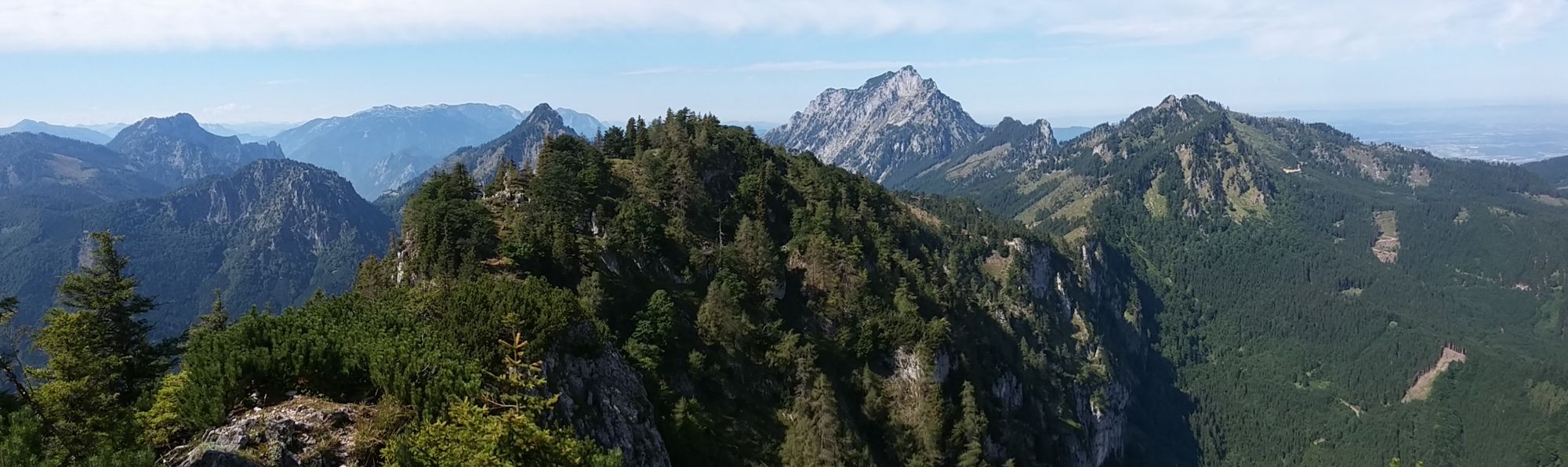
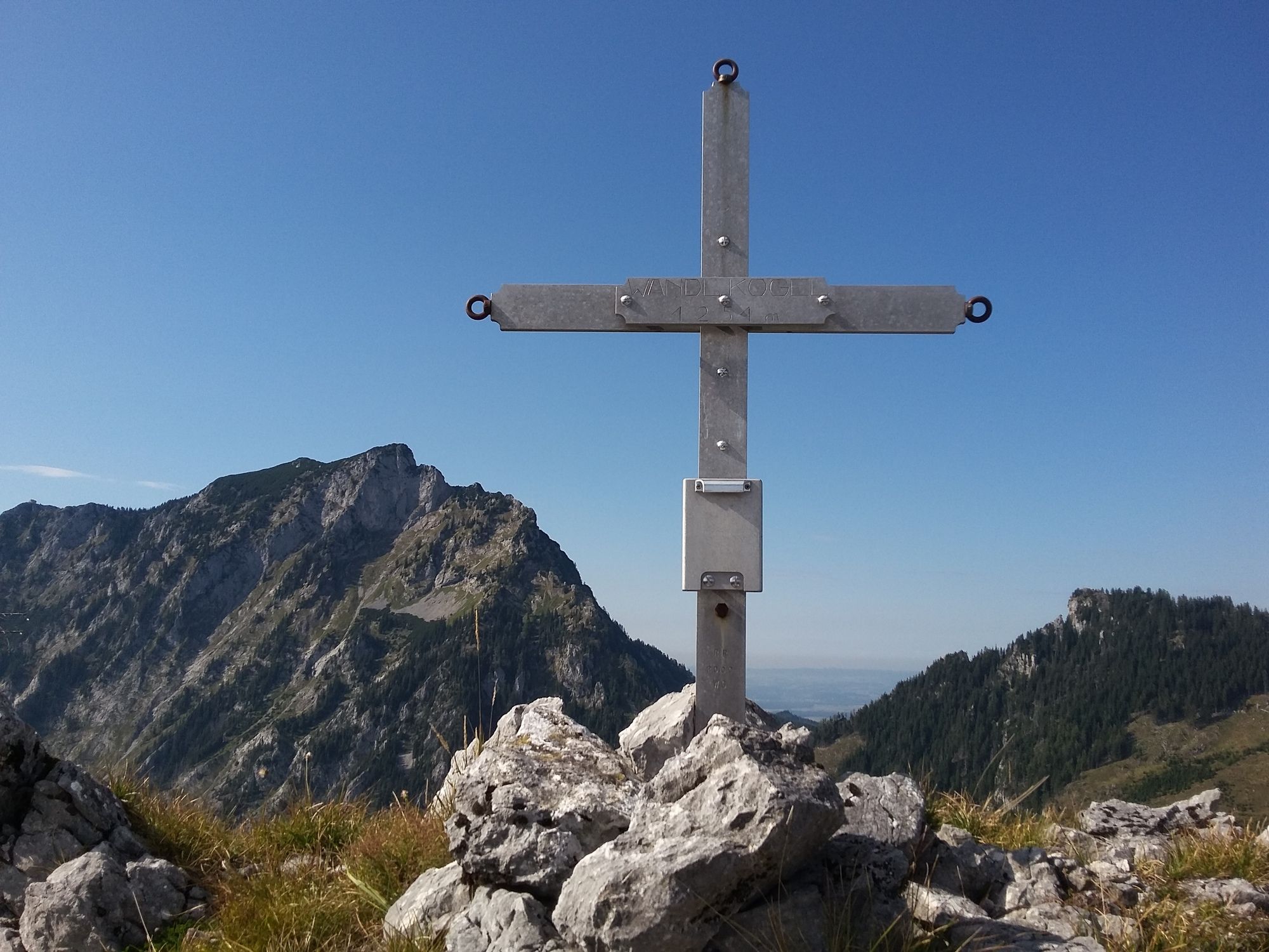
Grünau Bahnhof - Gipfel Zwillingskogel Gehzeit ca.3 Stunden, weiter dem markirten Weg Richtung Durchbruch, dann links halten der Forststraße entlang bis sie am Gsolberg endet. Ab hier weiter ohne Markierung...
Grünau Bahnhof - Gipfel Zwillingskogel Gehzeit ca.3 Stunden, weiter dem markirten Weg Richtung Durchbruch, dann links halten der Forststraße entlang bis sie am Gsolberg endet.
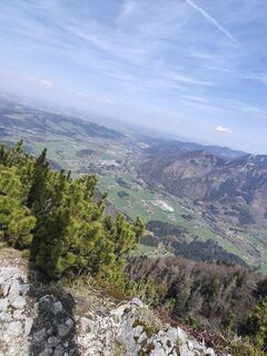
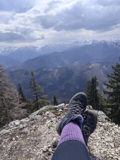
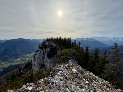
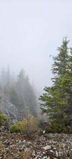
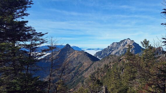
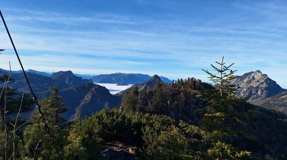
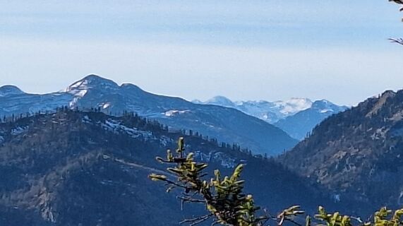
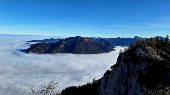
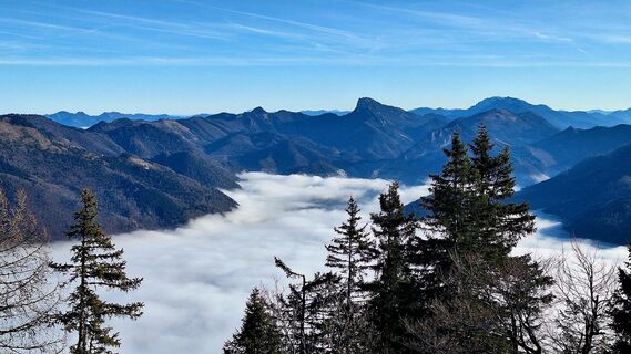
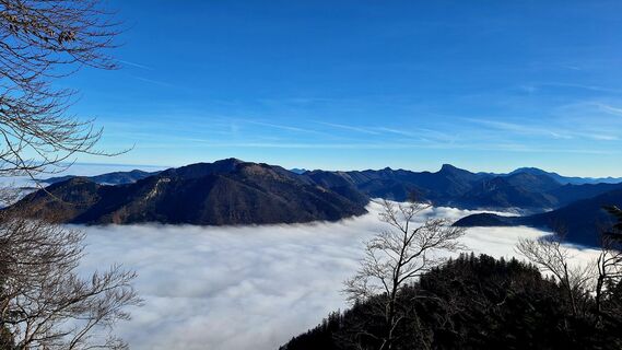
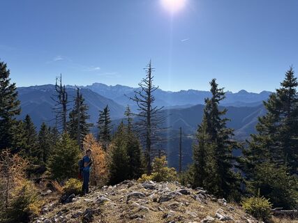
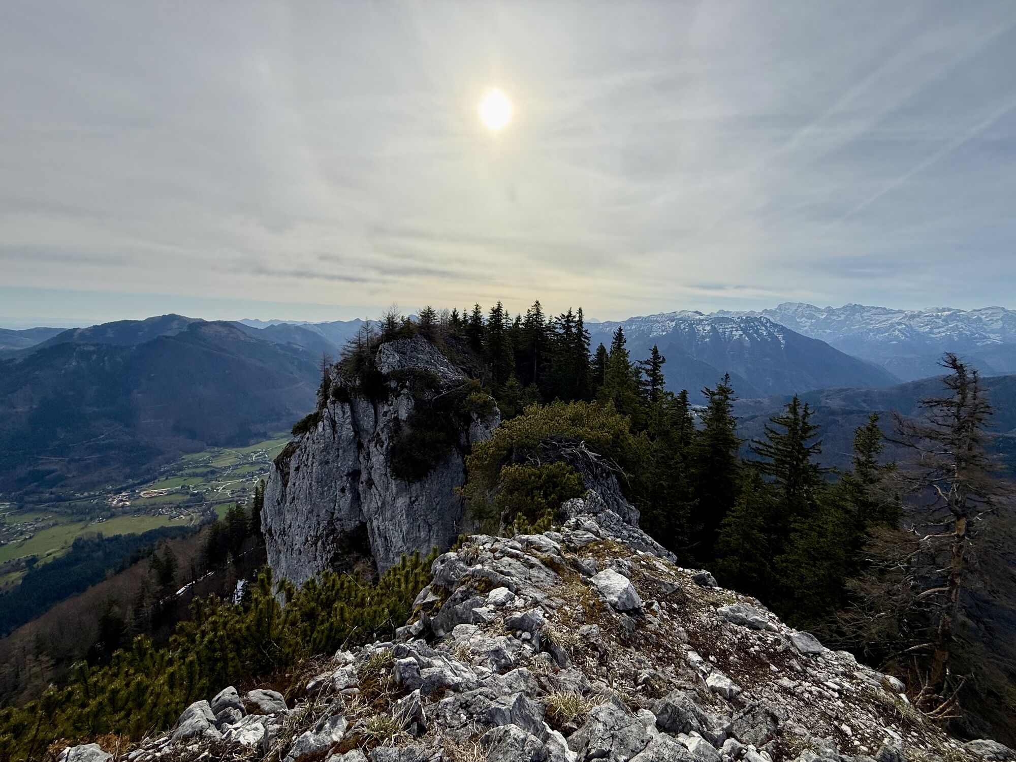
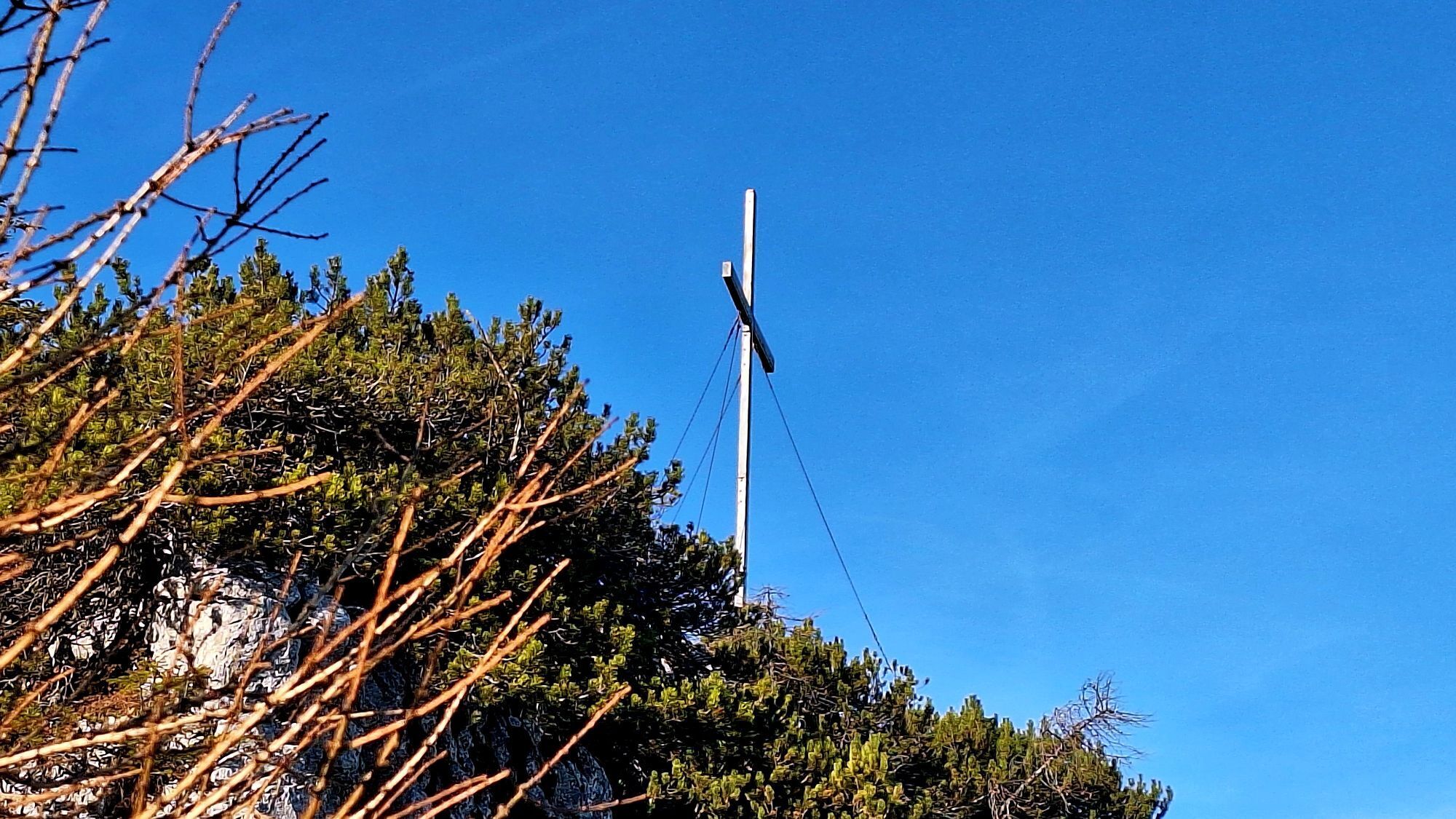
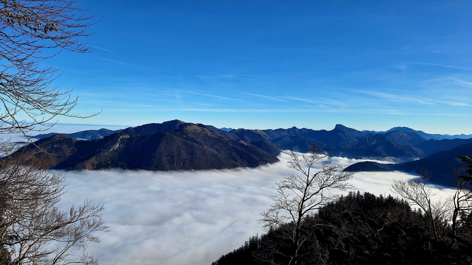
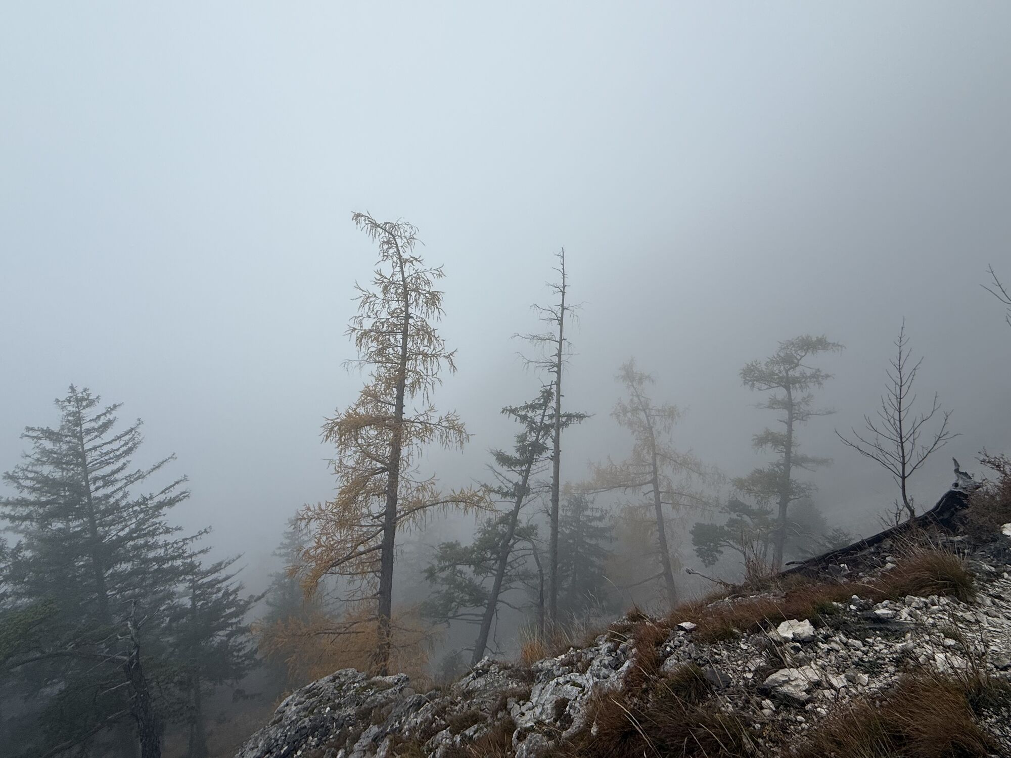
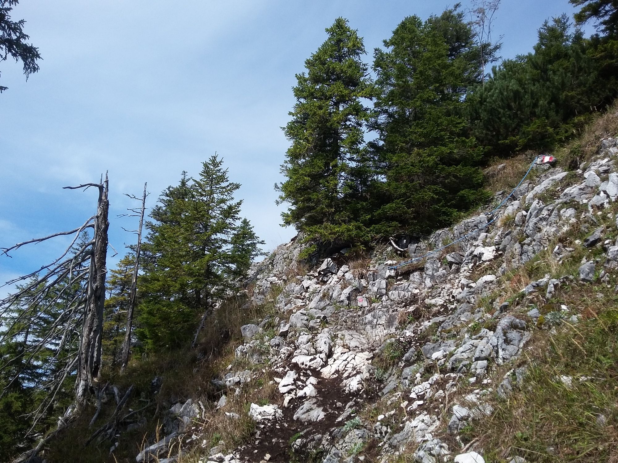
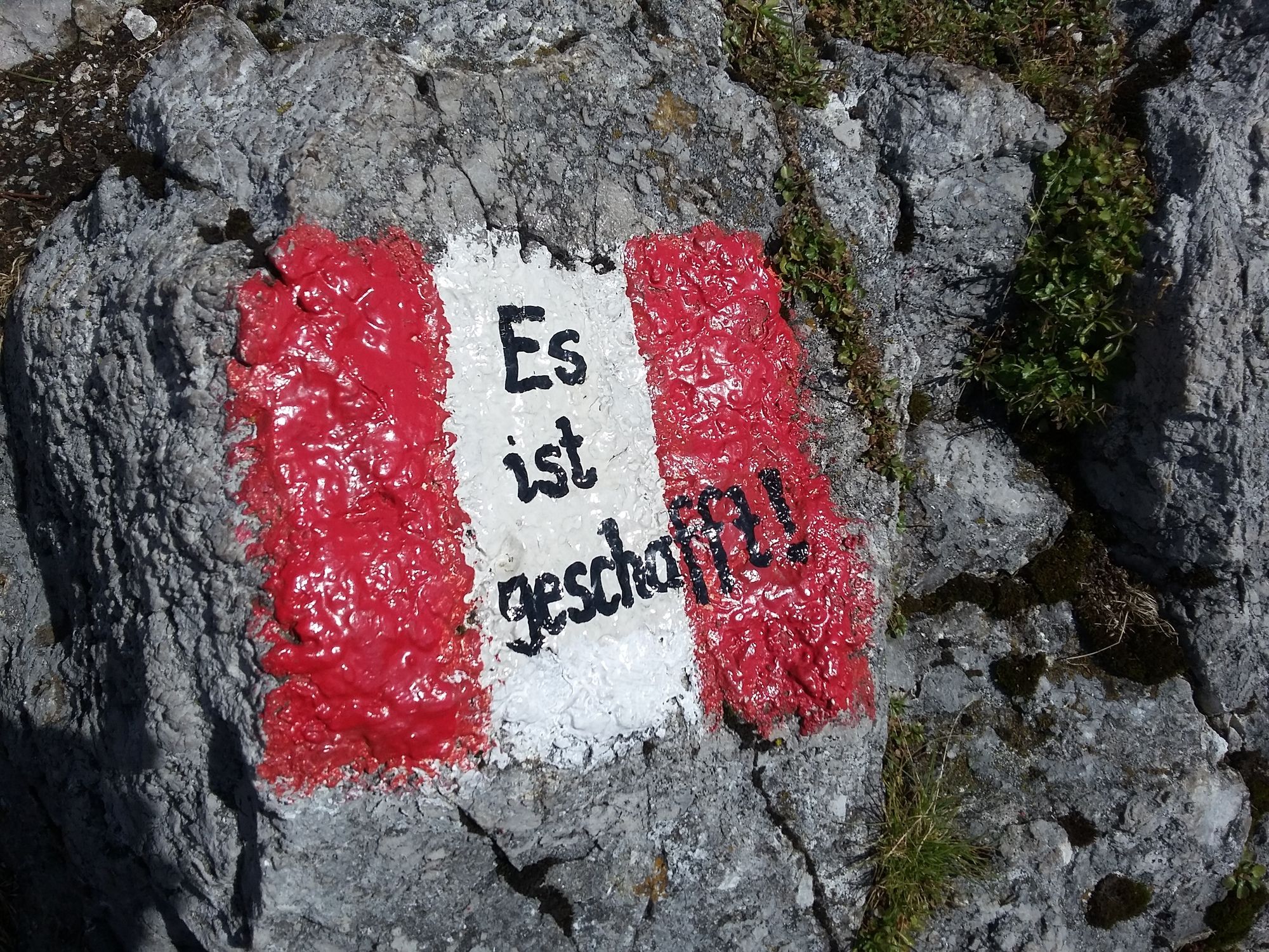
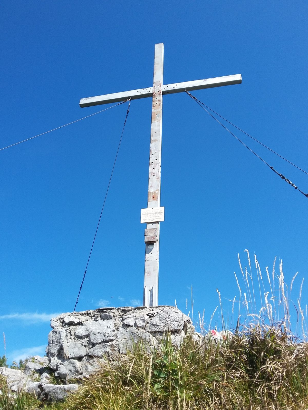
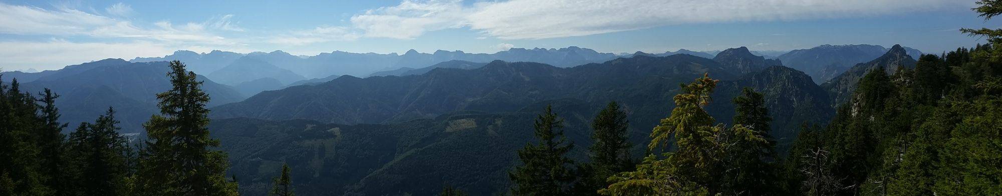
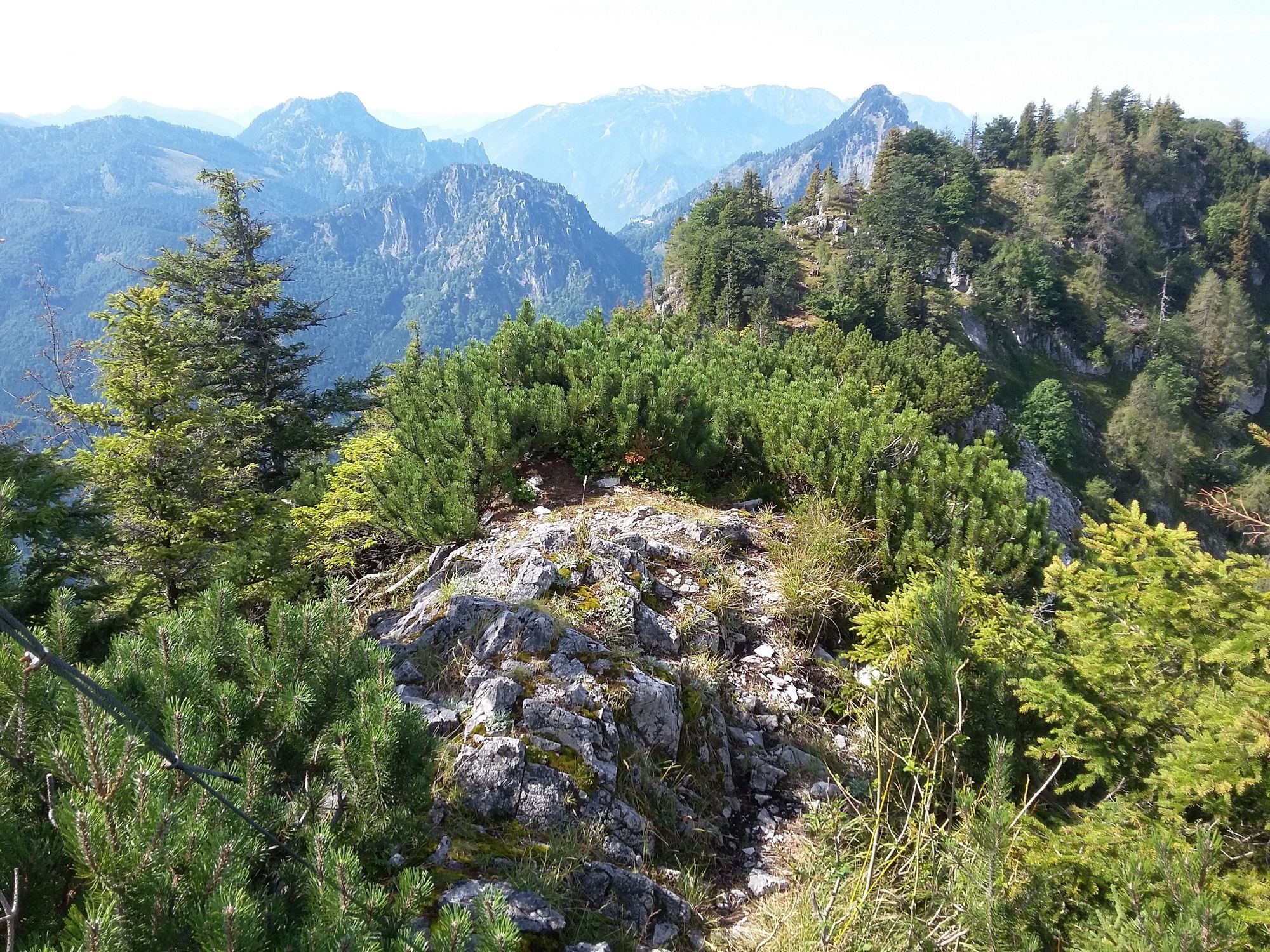
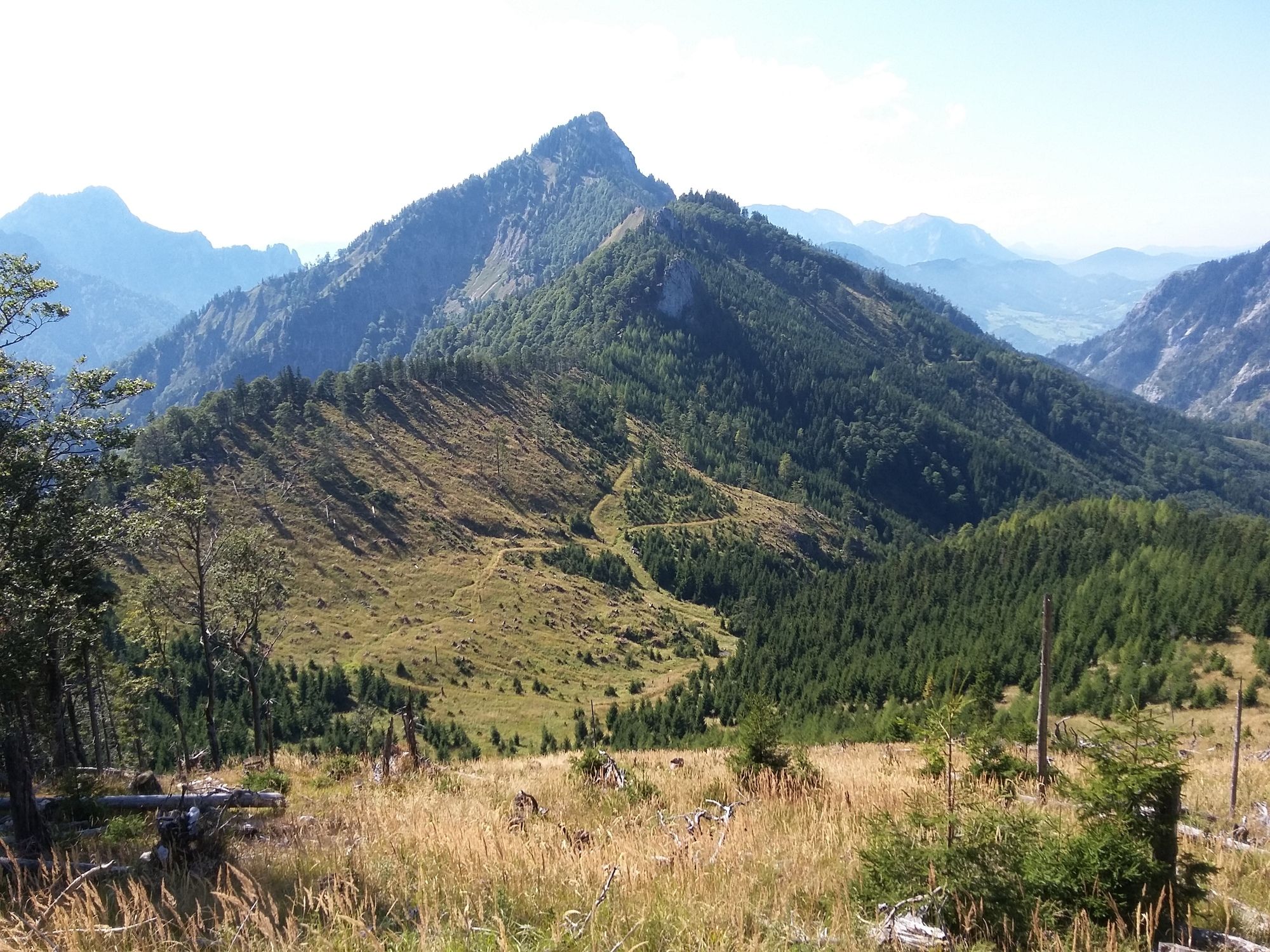
Ab hier weiter ohne Markierung am Grad Richtung Wandlkogel. Links am großen Felsen vorbei und dann retour zum Gipfelkreuz.Hier ist Trittsicherheit gefragt, da es kurz etwas ausgesetzt zum Gipfelkreuz hinauf geht. Der Ausblick entlohnt jedoch die bisherigen Strapazen.
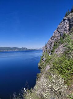
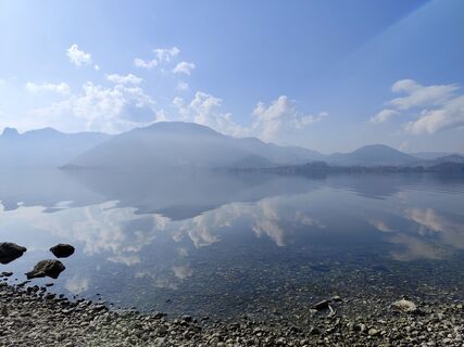
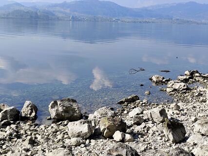
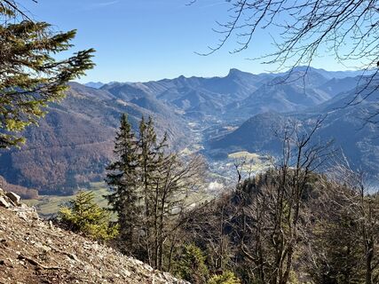
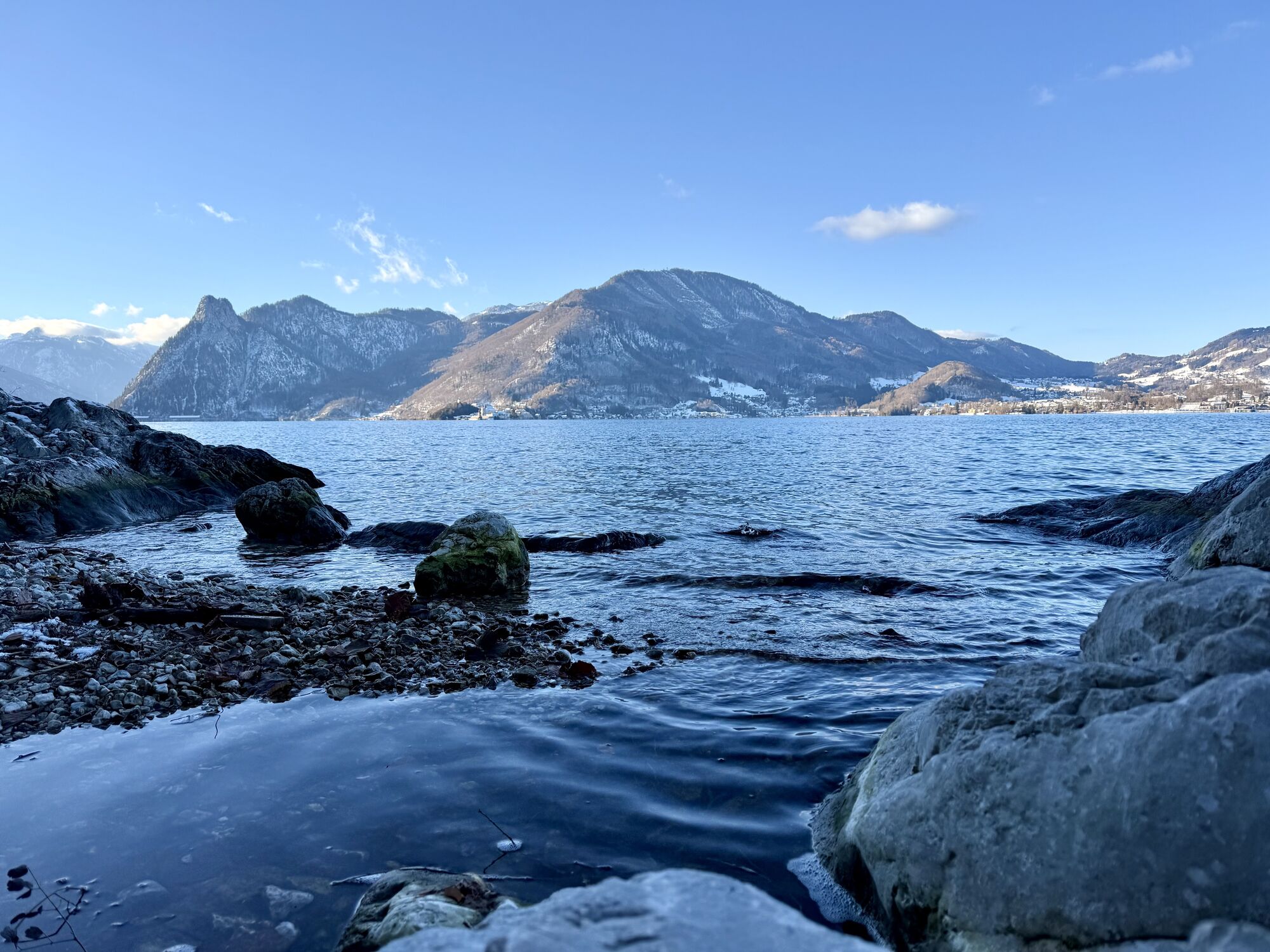
Nach einer ausgiebigen Pause gings retour und wir suchten einen direkten Weg Richtung Mairalm rechts den Berghang hinunter. Am Forstweg angekommen folgten wir diesen schließlich bis zur Mairalm, wo wir uns eine kühle Blonde verdient genossen haben. Zum Abschluss folgten wir der Forststraße vorbei am Moaristidl bis zum Parkplatz


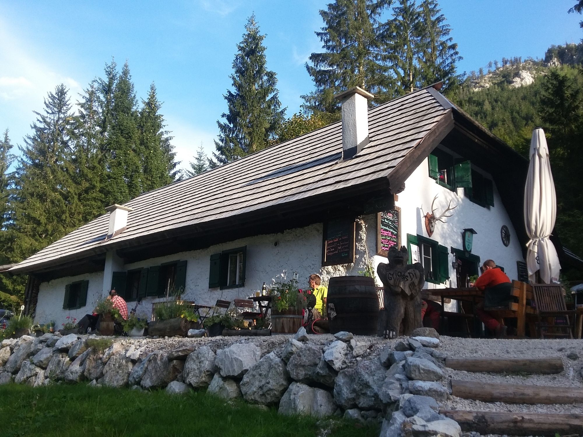
Mairalm
Sí
Wanderkarte , GPS Gerät
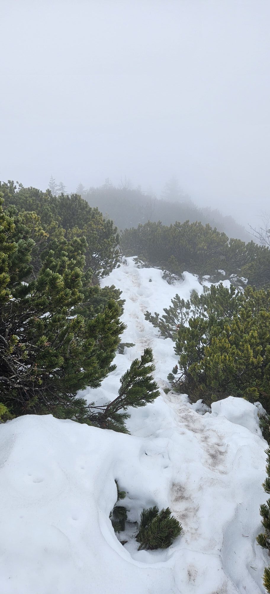
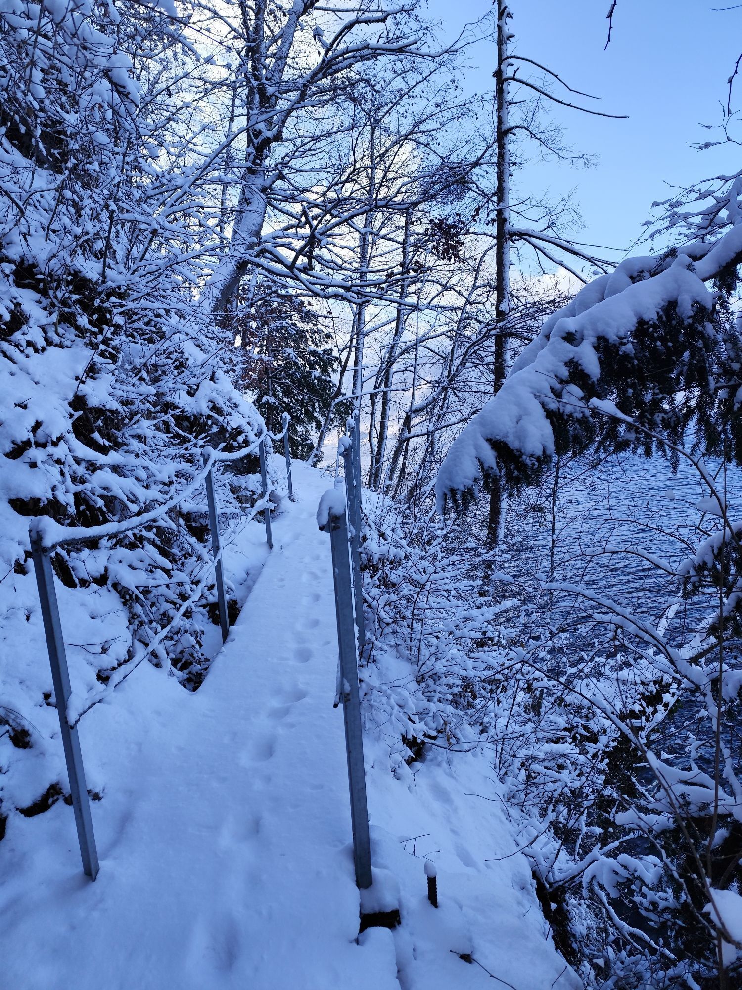
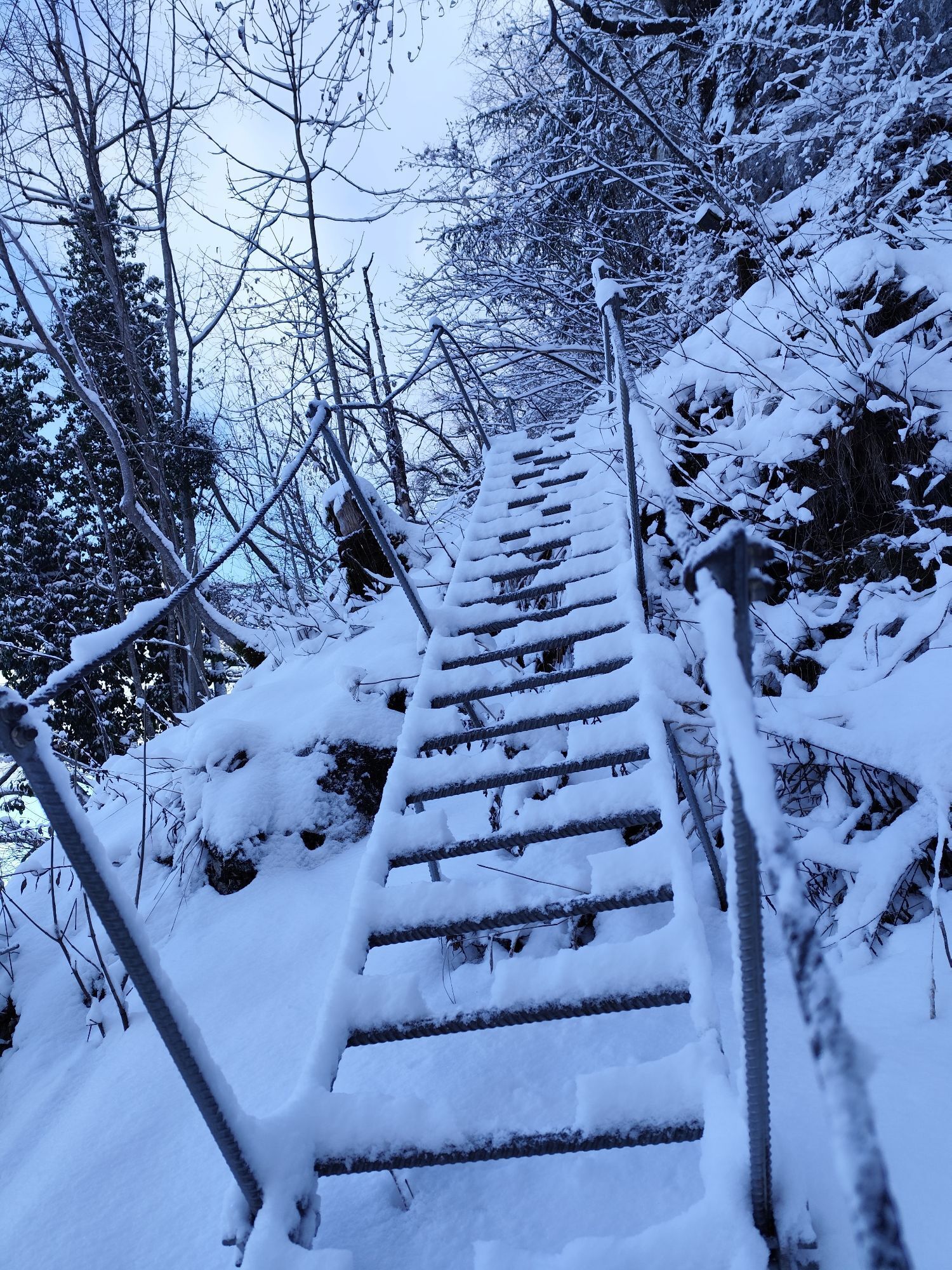
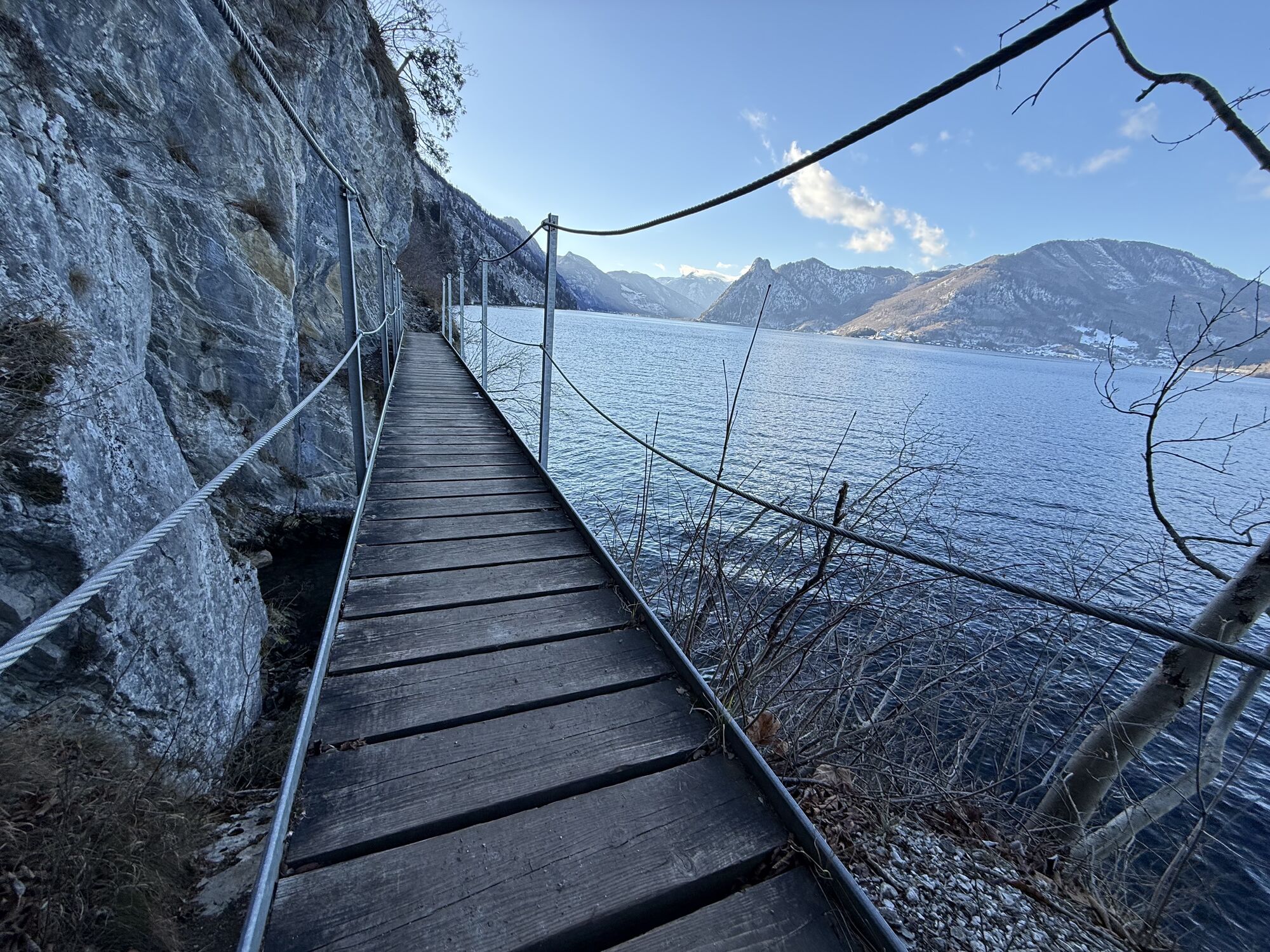
mittelschwere Wanderung auf Teils nicht markiertem Weg.
Trittsicherheit und Schwindelfreiheit im Gipfelbereich des Wandlkogel erforderlich.
Verpflegung mitnehmen
Bahn oder Auto
eventuell 2. Auto in Gmunden
Rutas populares en los alrededores
-
4,3
Feuerkogel / Ebensee
medioSenderismo 11,8 km -
4,5
Almseeweg / Grünau im Almtal
luzSenderismo 5,97 km -
4,5
Ebensee: Großer Höllkogel
medioSenderismo 10,1 km -
4,2
Erlakogel / Ebensee
medioSenderismo 4,12 km -
4,2
Naturfreundesteig auf den Traunstein
pesadoExcursión de alta montaña 5,07 km -
4,9
Ameisstein im Almtal
luzSenderismo 3,40 km -
4,8
Traunstein 1.691m & Traunkirchner Kogel 1.575m am Traunsee
medioVía ferrata 9 km -
4,8
Steineck
medioSenderismo 9,43 km -
3,5
Ebensee - Kl. und Gr. Sonnstein
medioSenderismo 3,24 km -
4,8
Gmunden: Traunstein über Mairalmsteig
medioSenderismo de montaña 15,1 km

Senderismo y rastreo


No se pierda las ofertas y la inspiración para sus próximas vacaciones
Su dirección de correo electrónico se ha añadido a la lista de correo.