


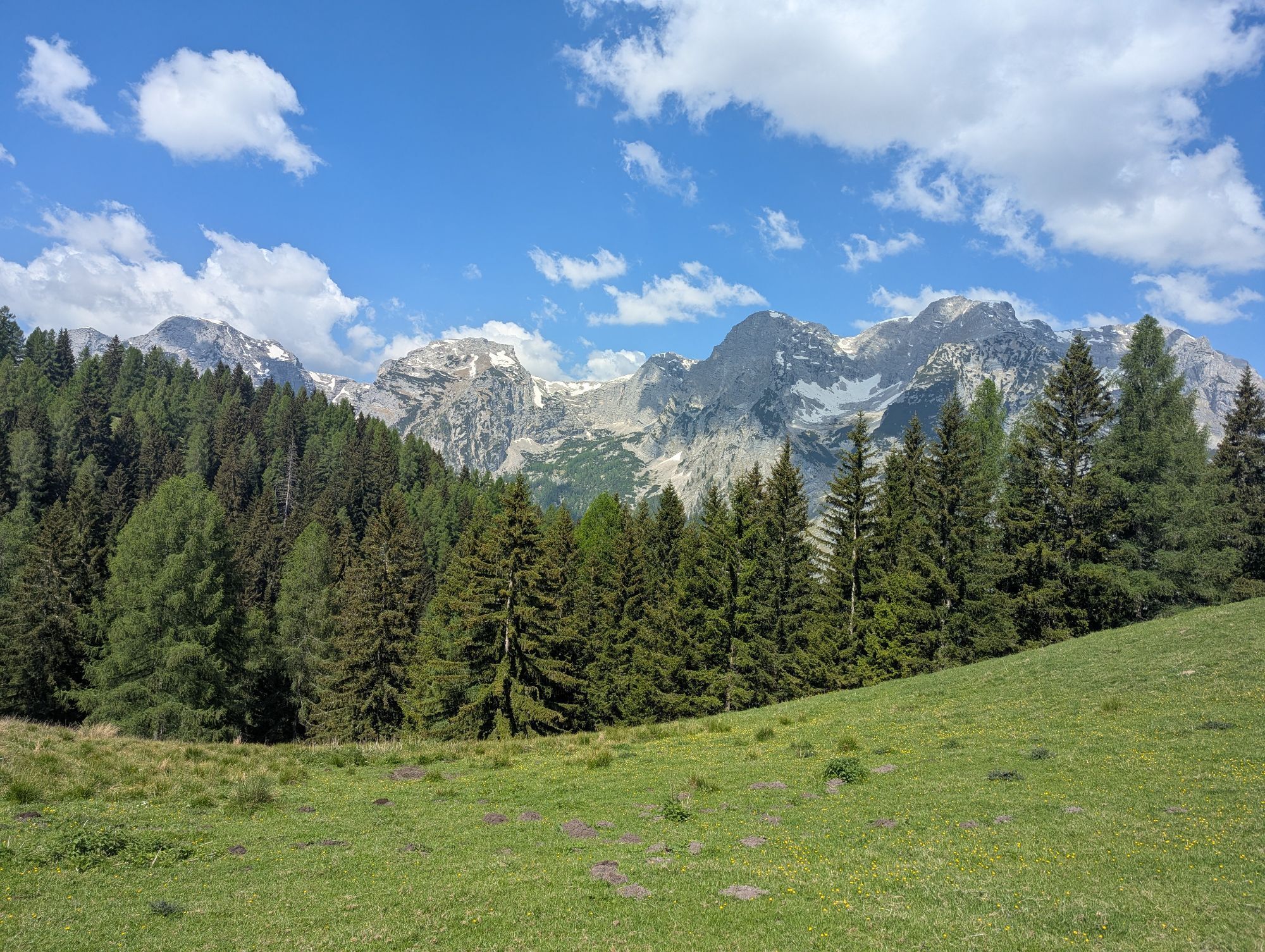
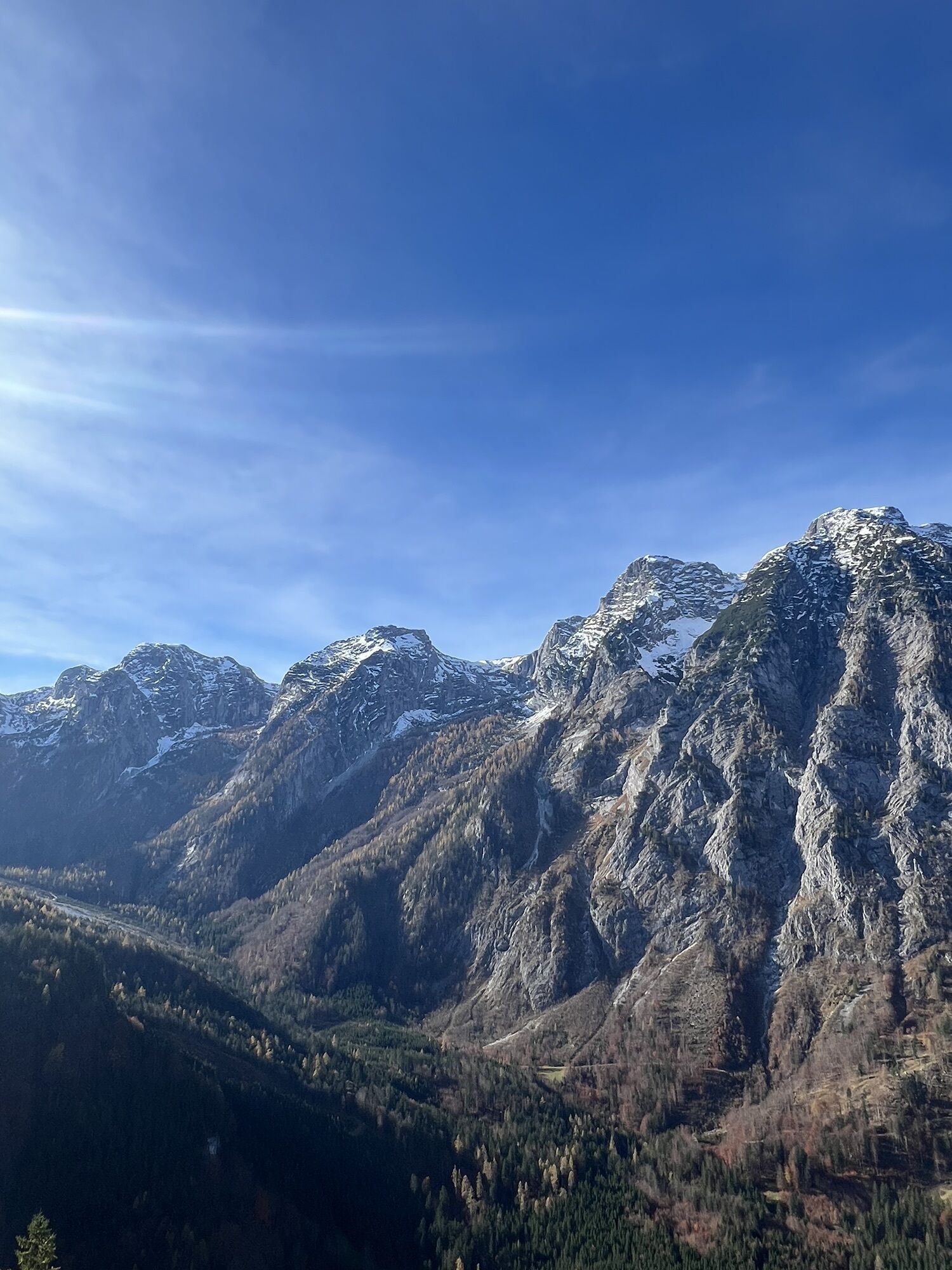
Hochsteinalm

Weg-Nummer: 19 Gehzeit: 2 Std. Schwierigkeitsgrad: Rot: Asphaltstraße, Forststraße, Fußweg Vom Parkplatz Baumschlagerreith in Hinterstoder wandern Sie rechts vom Wildgehege die Forststraße ca. 5...
Weg-Nummer: 19
Gehzeit: 2 Std.
Schwierigkeitsgrad: Rot: Asphaltstraße, Forststraße, Fußweg
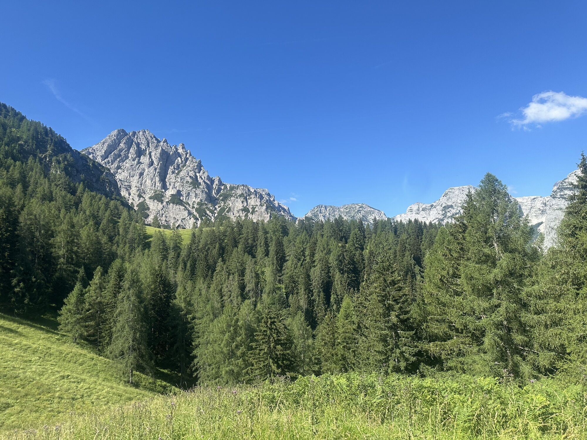
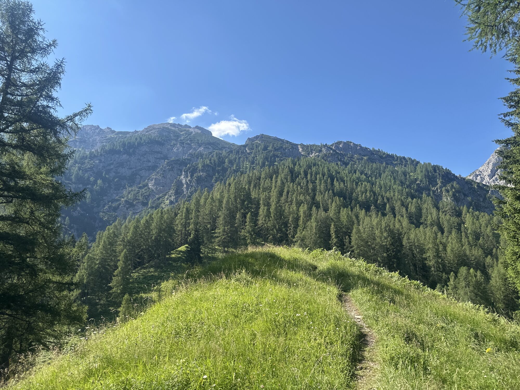
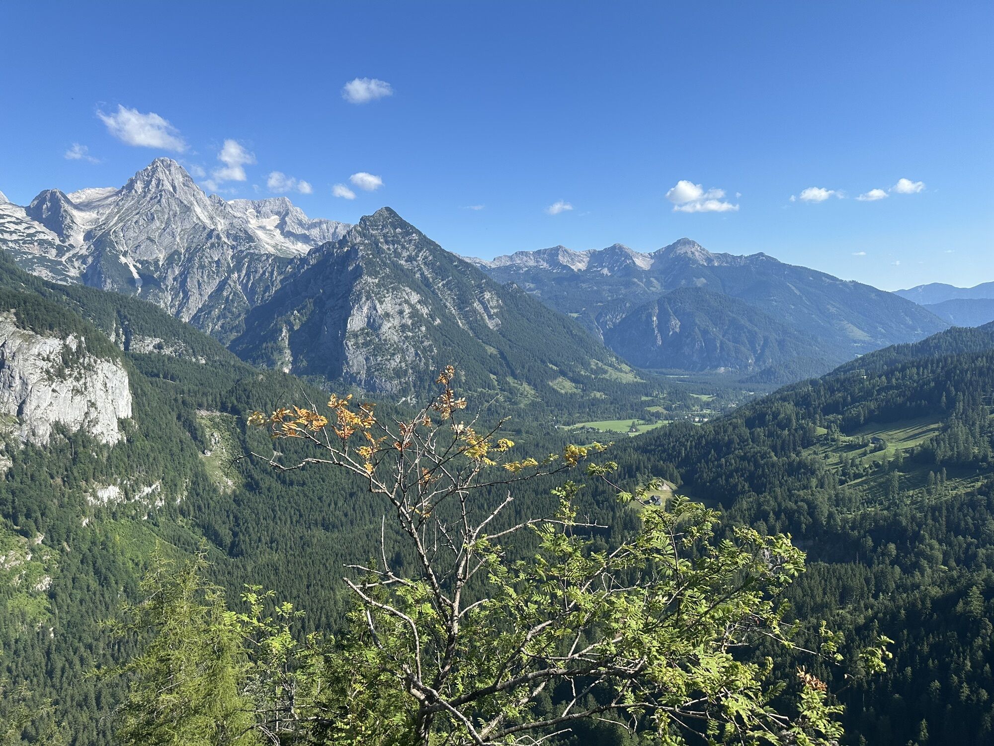
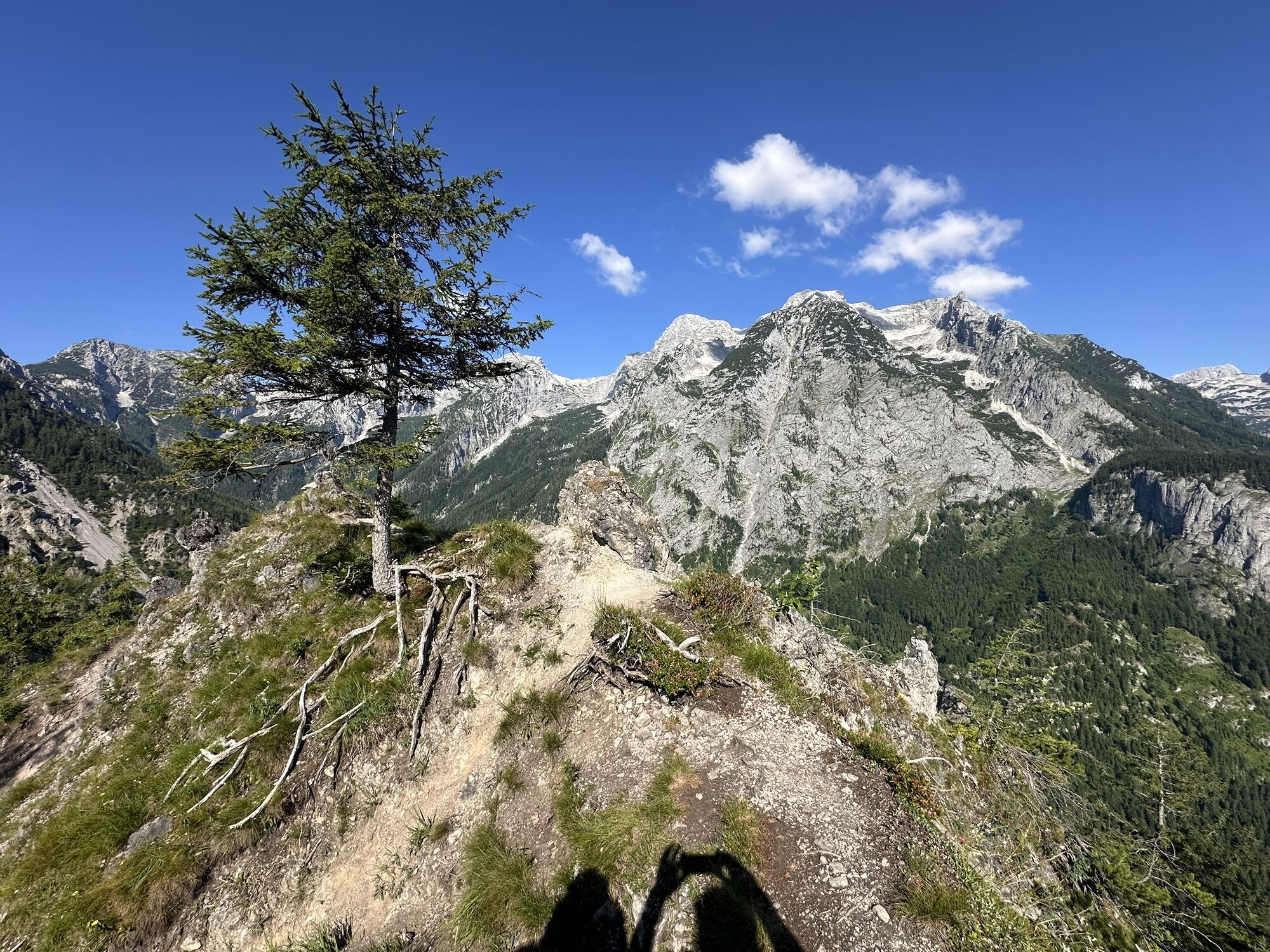
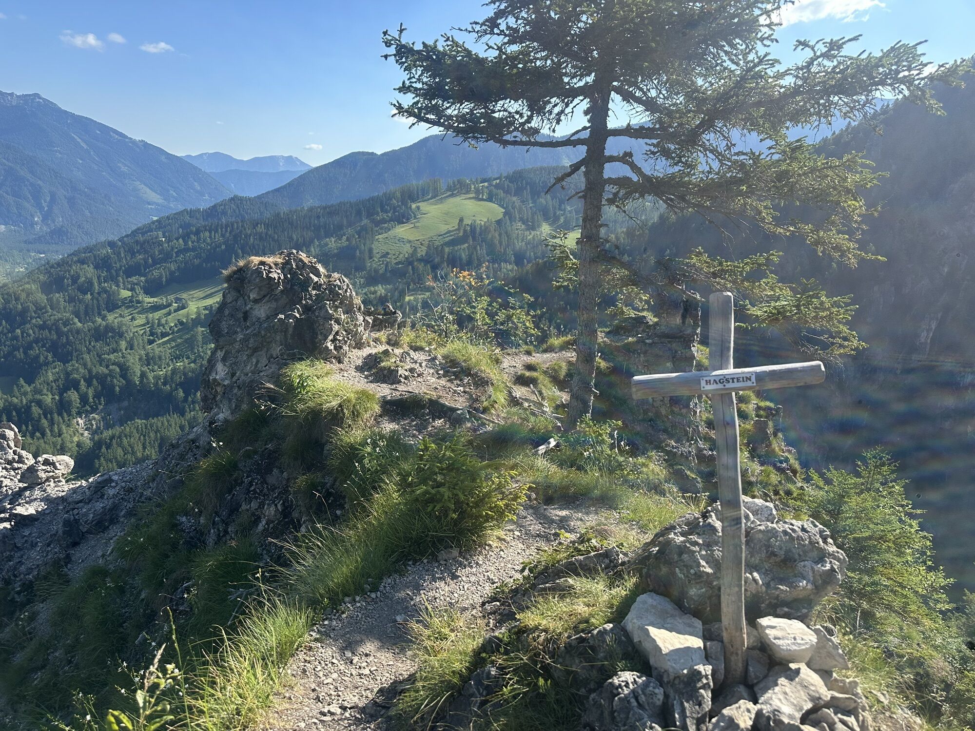
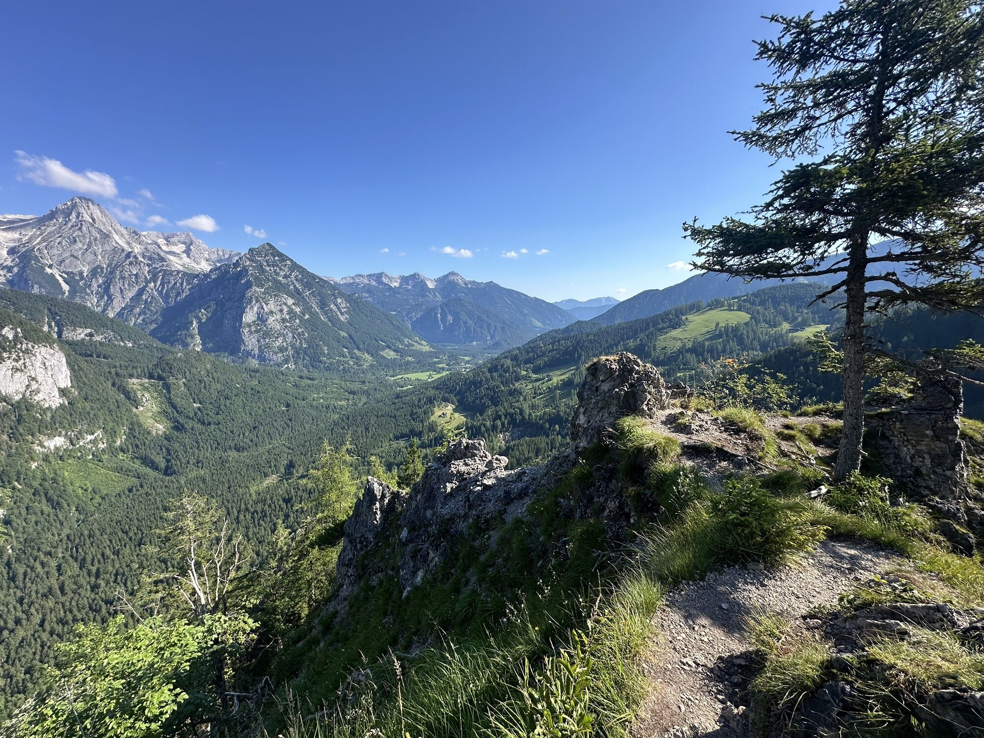
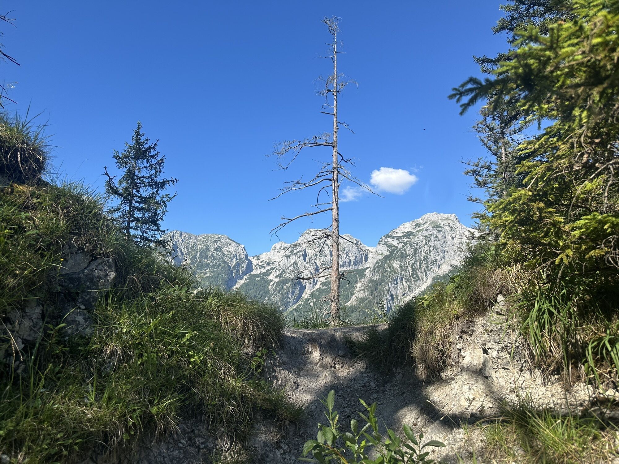
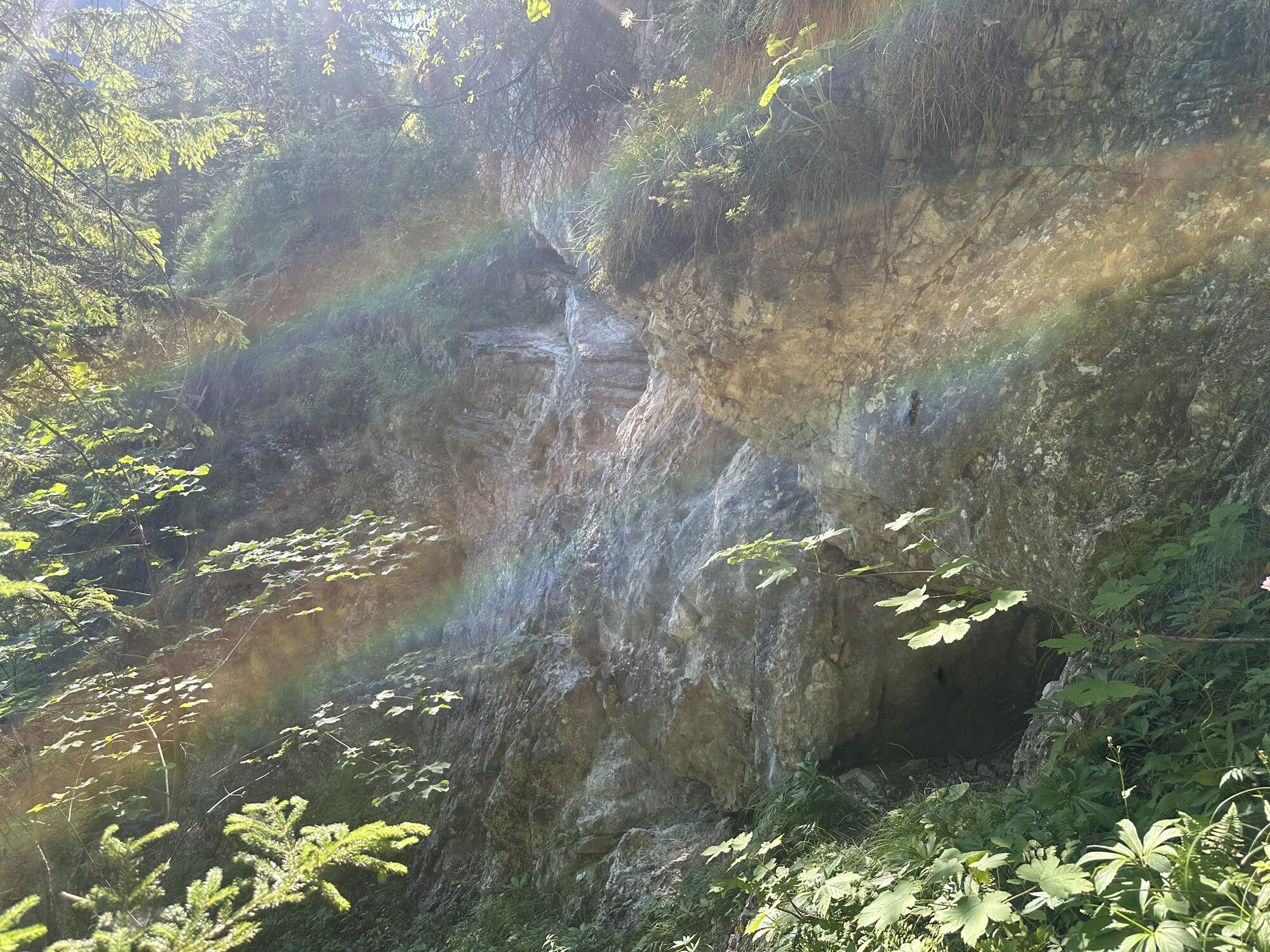
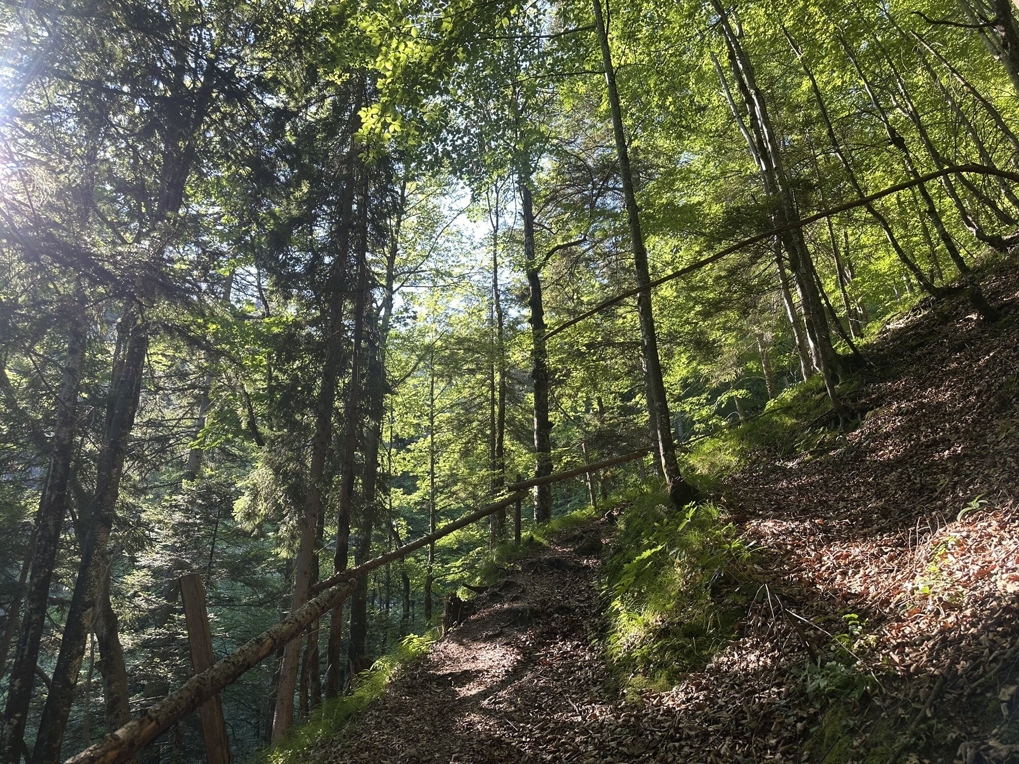
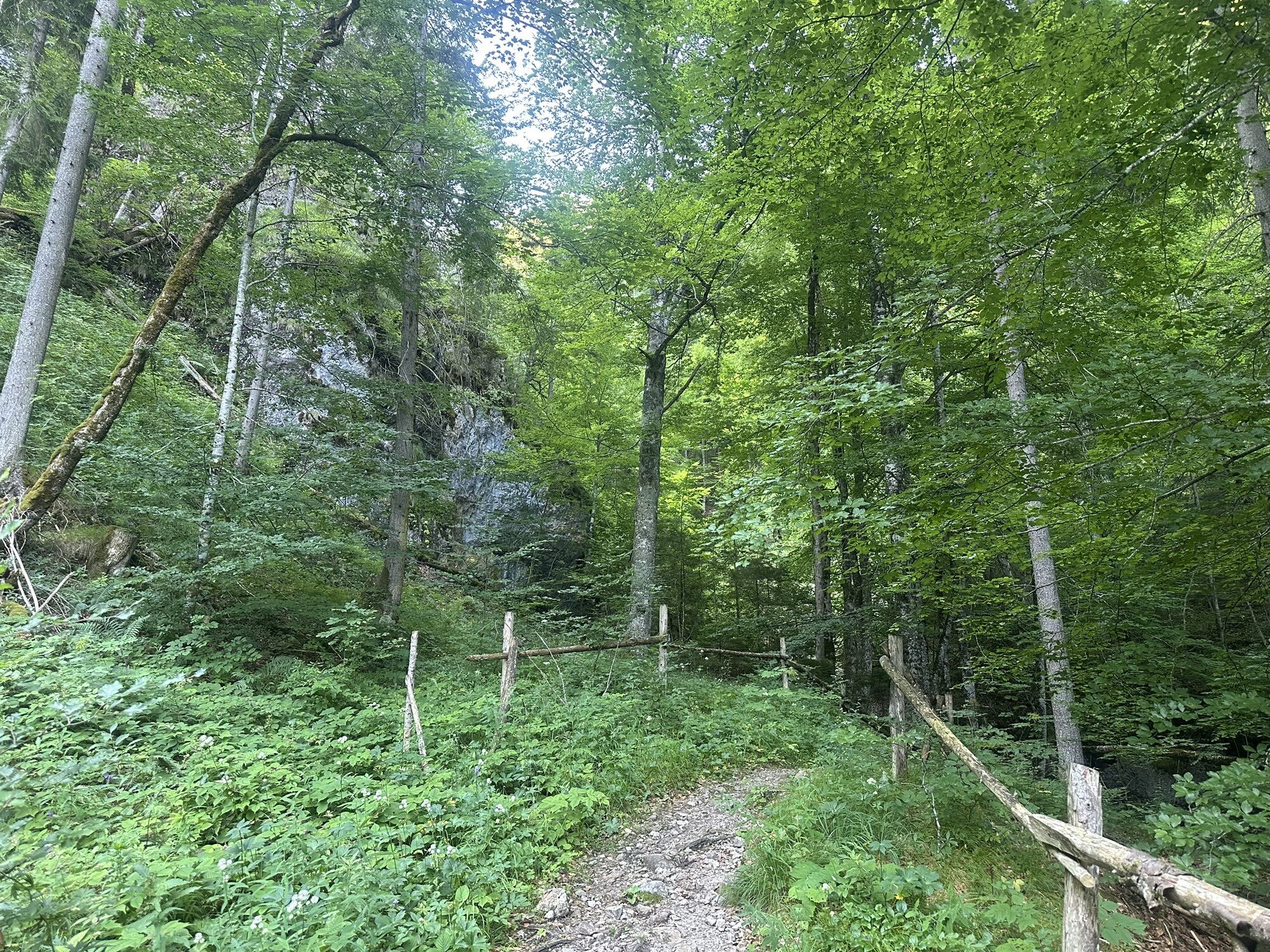
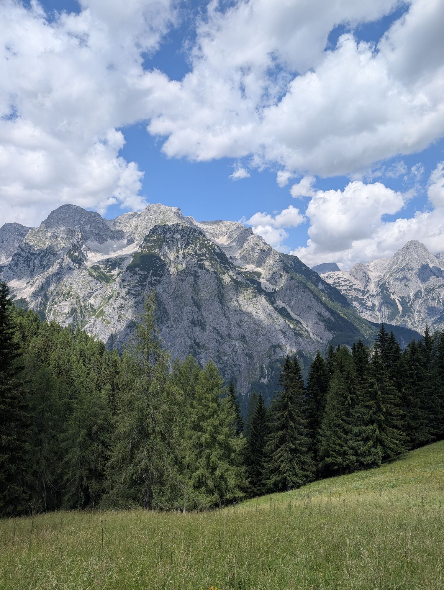
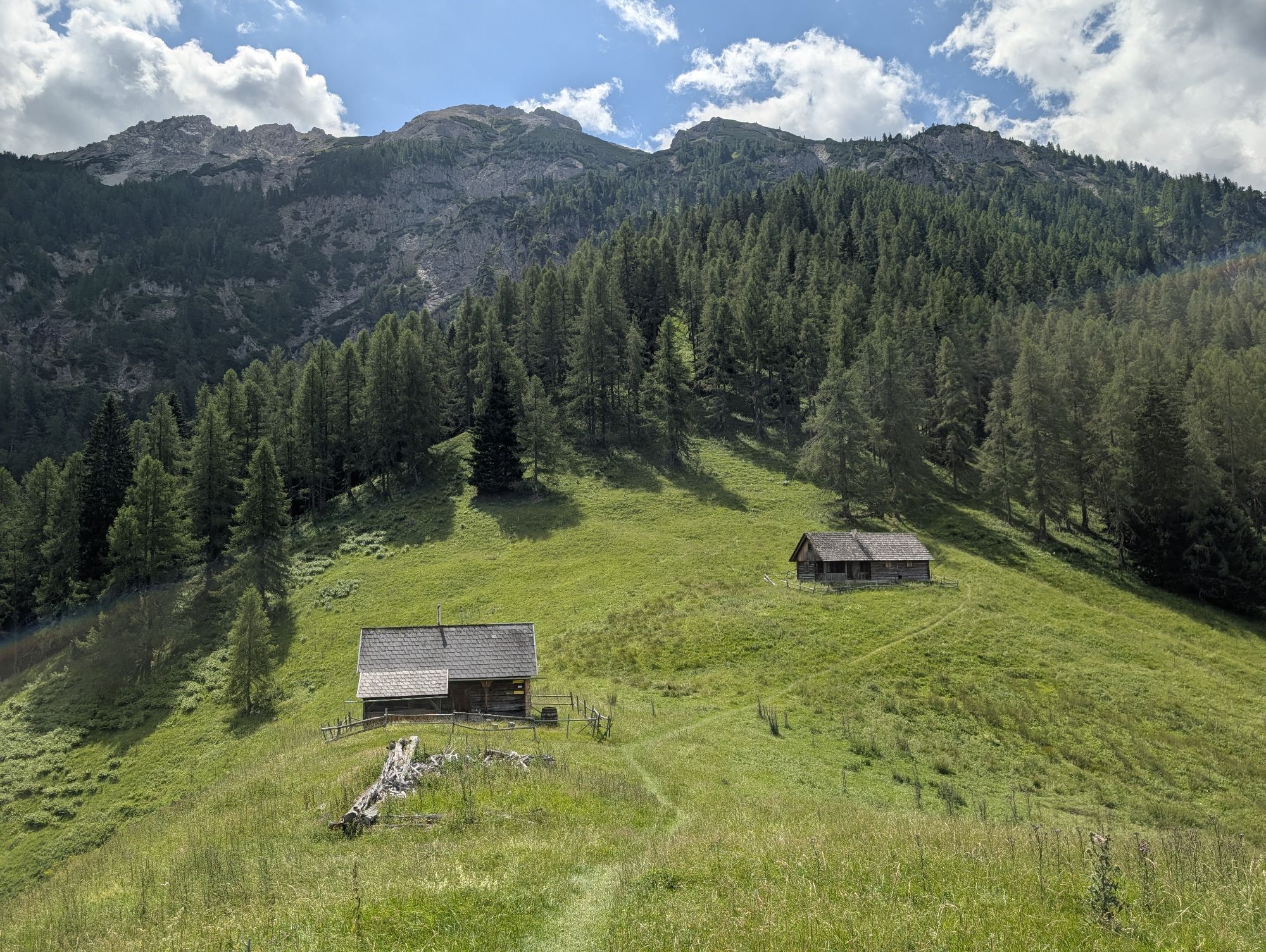
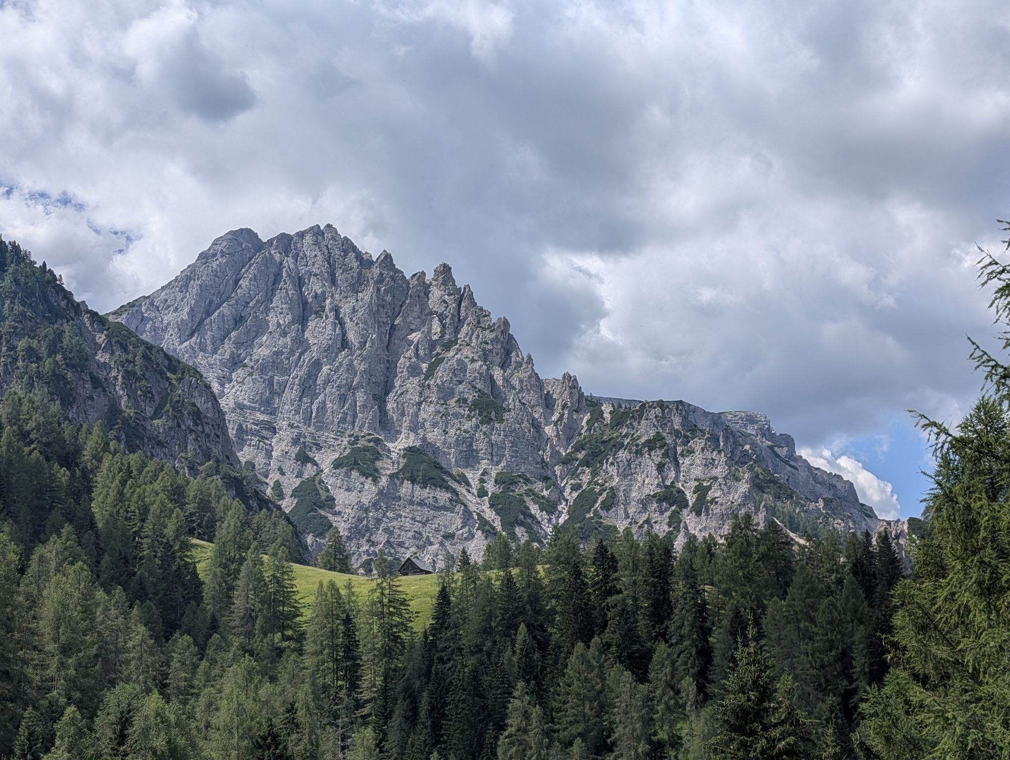
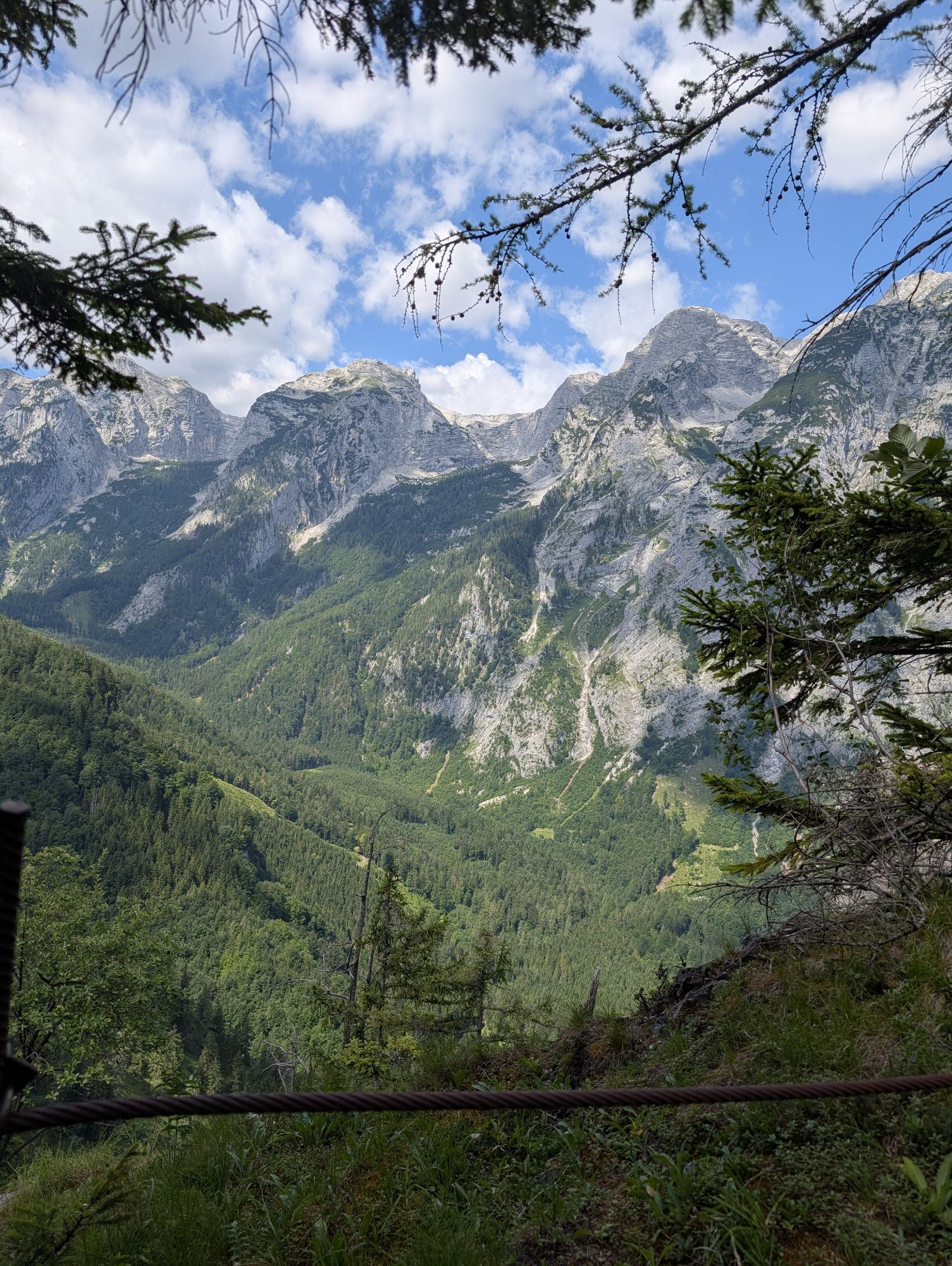
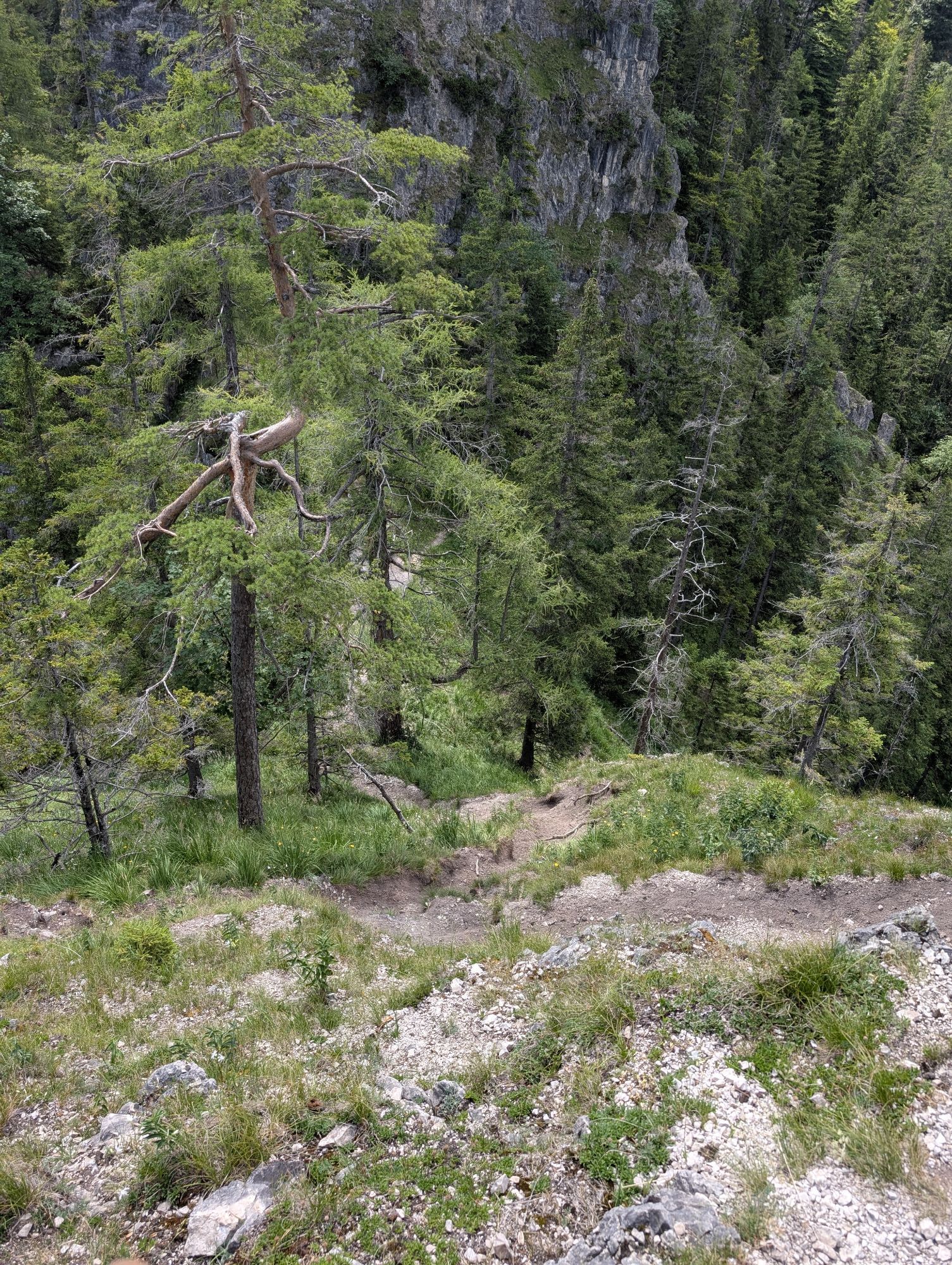
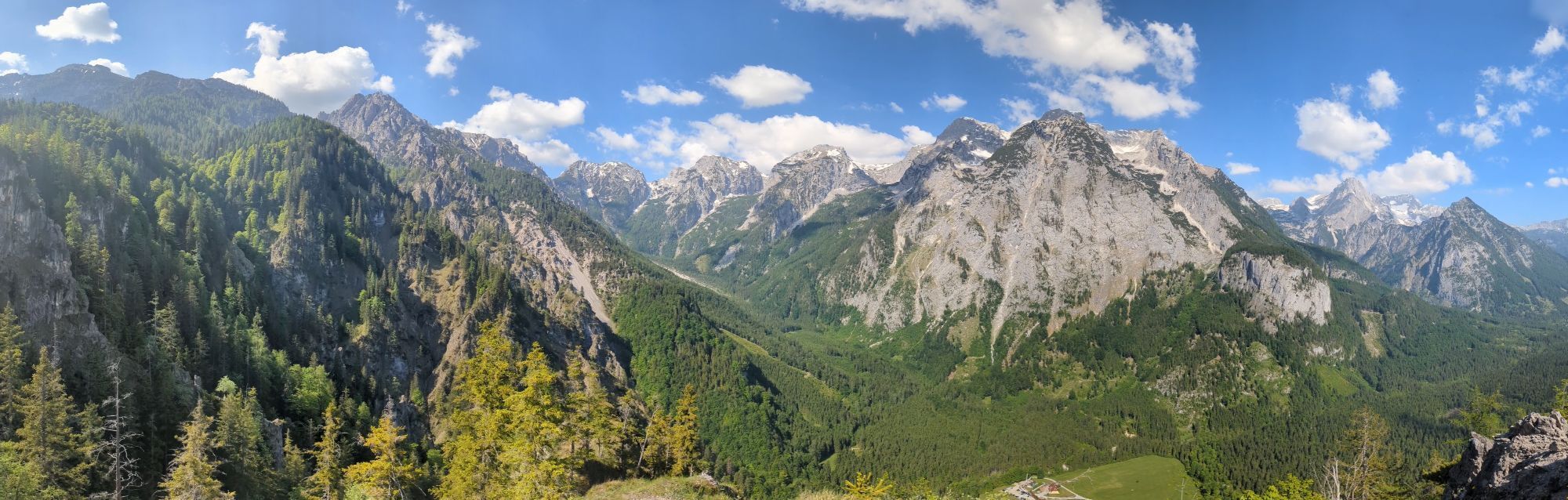
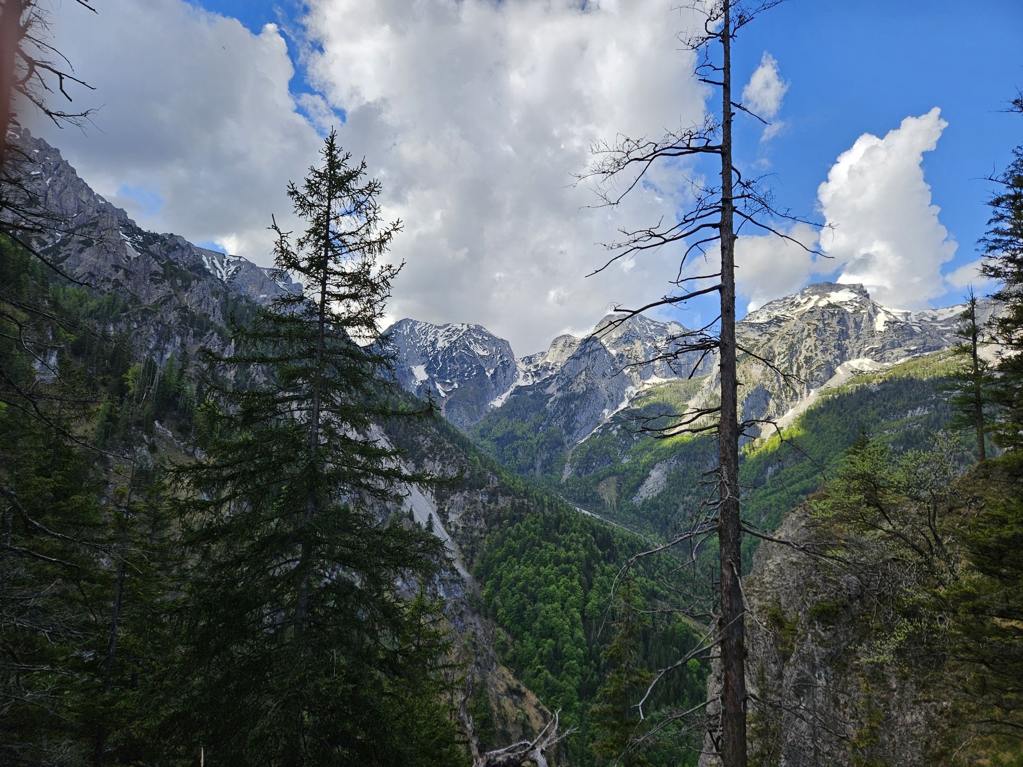
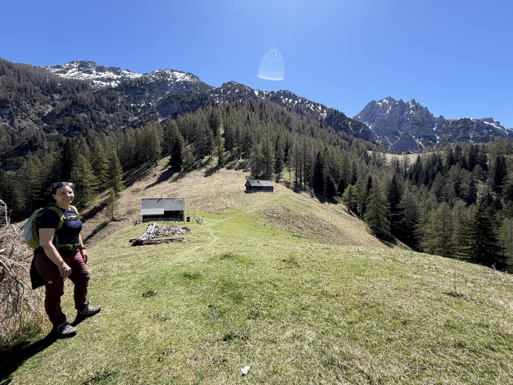
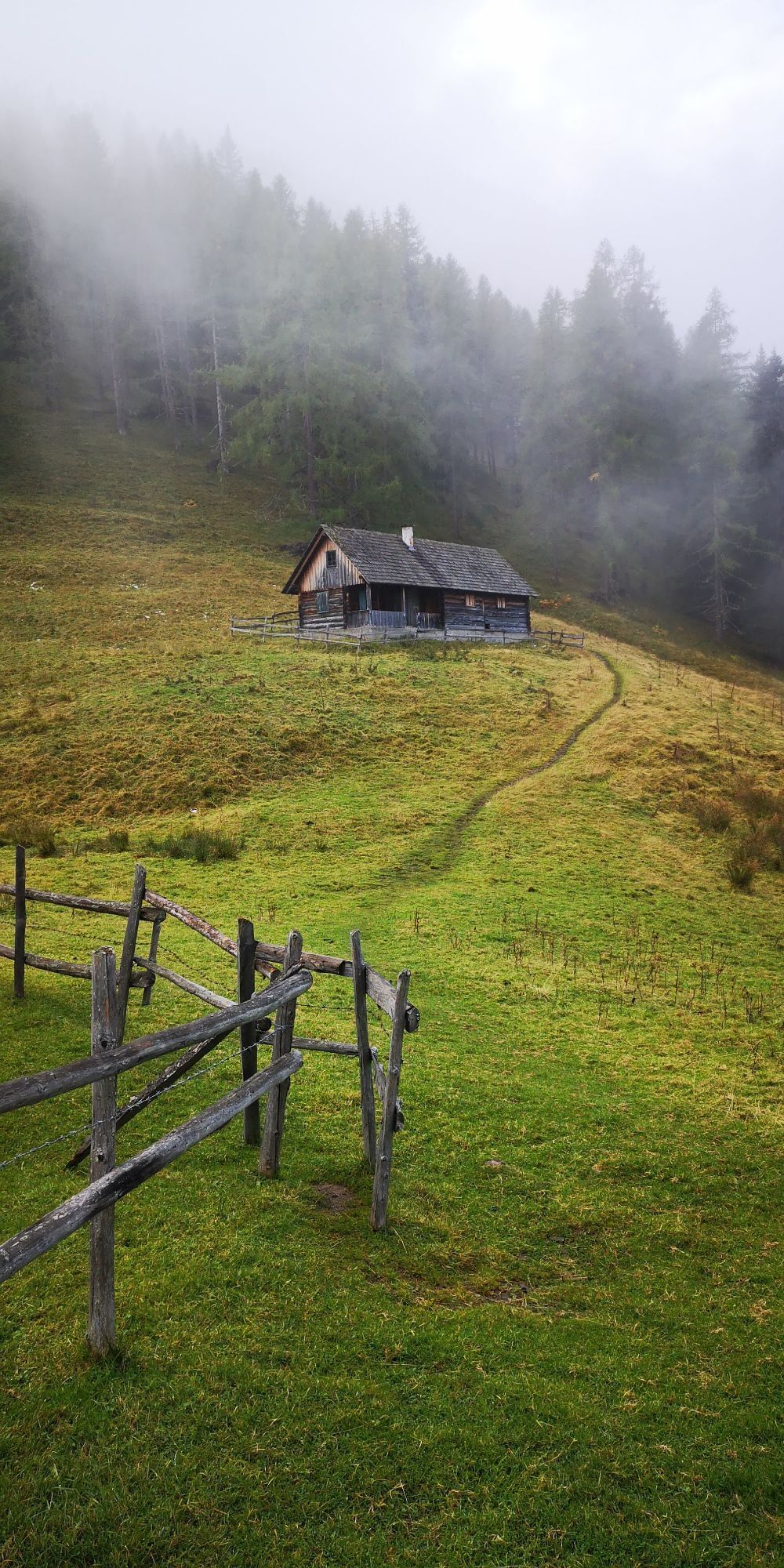
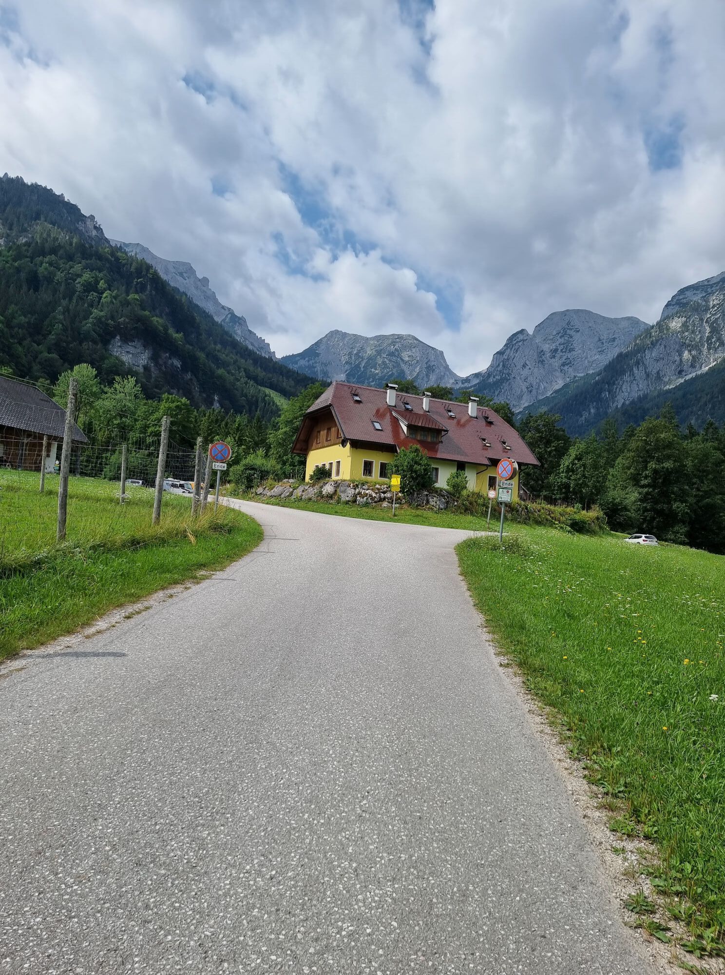
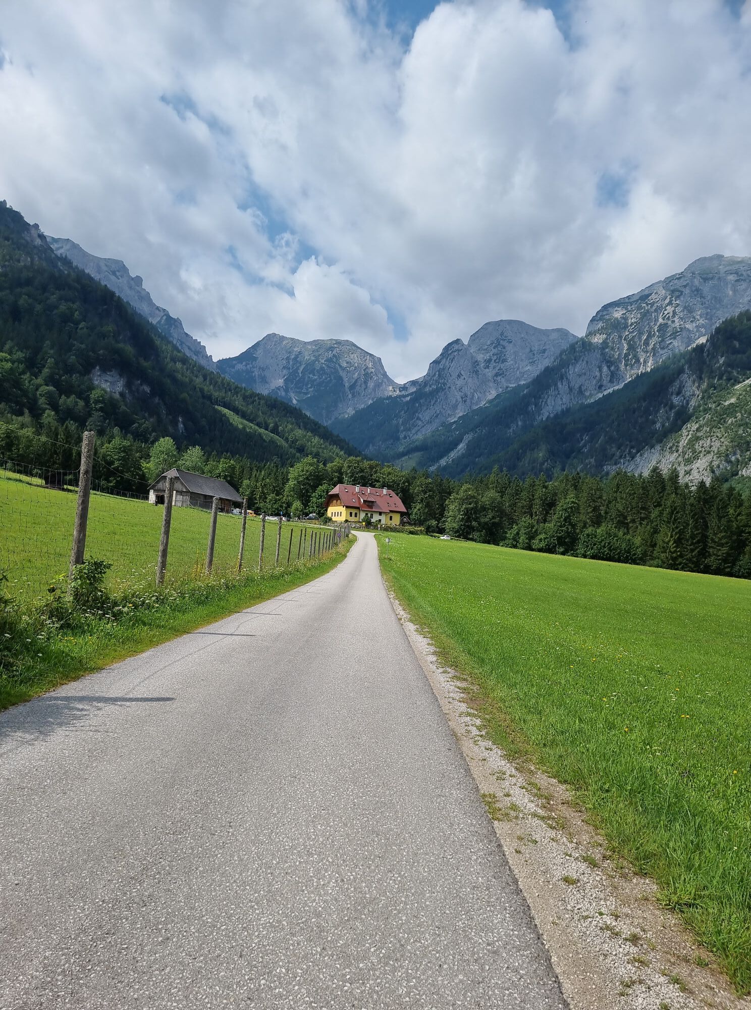
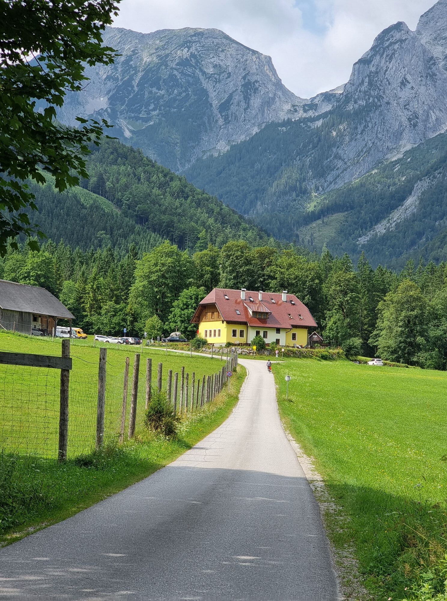
Vom Parkplatz Baumschlagerreith in Hinterstoder wandern Sie rechts vom Wildgehege die Forststraße ca. 500 Meter entlang bis zum Hinweisschild „Hochsteinalm“. Nun auf einem kleinen Weg zum eigentlichen Hochsteinalmweg Nr. 19. anfangs noch gemächlich, werden die Serpentinen immer steiler und führen in eine Scharte. Von dieser nach links an Felswänden vorbei wandern und nach etlichen Schleifen erreichen Sie die Hochsteinalm.
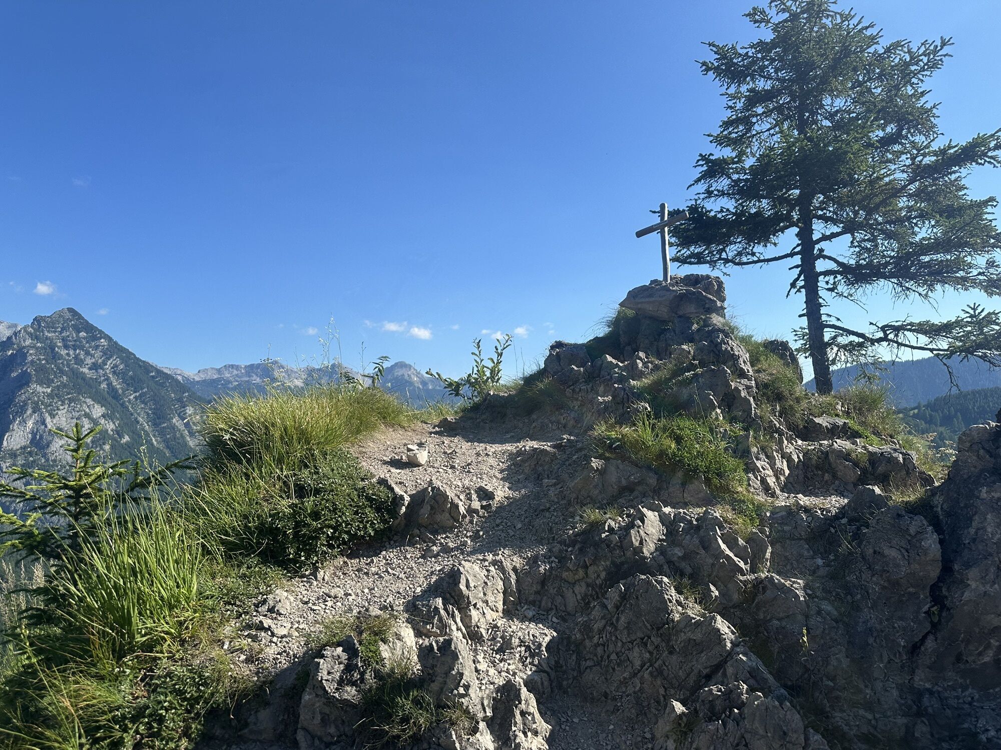
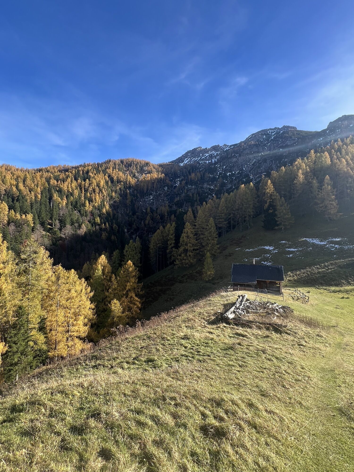
Wenn Sie noch weitere zehn Minuten aufsteigen, erreicht man die Lögerhütte (nicht bewirtschaftet) 1.370 m. Seit einigen Jahren wird kein Vieh mehr auf die Alm getrieben.
Wanderkarte Pyhrn-Priel erhältlich in allen Pyhrn-Priel Tourismusbüros!
Sí
Von Vorderstoder kommend folgen Sie der Beschilderung Hinterstoder - Bei der Kreuzung Links nach Hinterstoder abbiegen - durch den Ort durch beim Dietlgut vorbei bis zum Parkplatz Baumschlagerreith
A9 Pyhrnautobahn – Abfahrt St. Pankraz – anschließend links abbiegen – bei GH Steyrbrücke links nach Hinterstoder - durch den Ort durch beim Dietlgut vorbei bis zum Parkplatz Baumschlagerreith
Rutas populares en los alrededores
-
5,0
RundWanderWelt Hinterstoder - Polsterlucken-Runde
Senderismo 3,94 km -
4,3
Spital am Pyhrn: Wurzeralm - Dümlerhütte - Rote Wand
medioSenderismo 10,1 km -
4,3
Wurzeralm NaturErlebnisWelt - 2 Millionen Jahren in 2 Stunden
Senderismo 6,09 km -
4,9
Nazogel und Angerkogel
medioSenderismo 10,9 km -
4,9
Gindlhorn & Marterlweg ab Pürgg
medioSendero temático 6,74 km -
4,8
6-Seen-Wanderung auf der Tauplitzalm
medioTrailrunning 14,8 km -
4,2
Dolomitensteig
pesadoSenderismo 9,29 km -
4,2
Rund um den Gleinkersee
Senderismo 1,70 km -
4,5
Rundweg Tauplitz
medioSenderismo 7,44 km -
4,6
Pießling Ursprung
Senderismo 1,13 km
Senderismo y rastreo


No se pierda las ofertas y la inspiración para sus próximas vacaciones
Su dirección de correo electrónico se ha añadido a la lista de correo.