






Ski tour Großraming - Rotstein
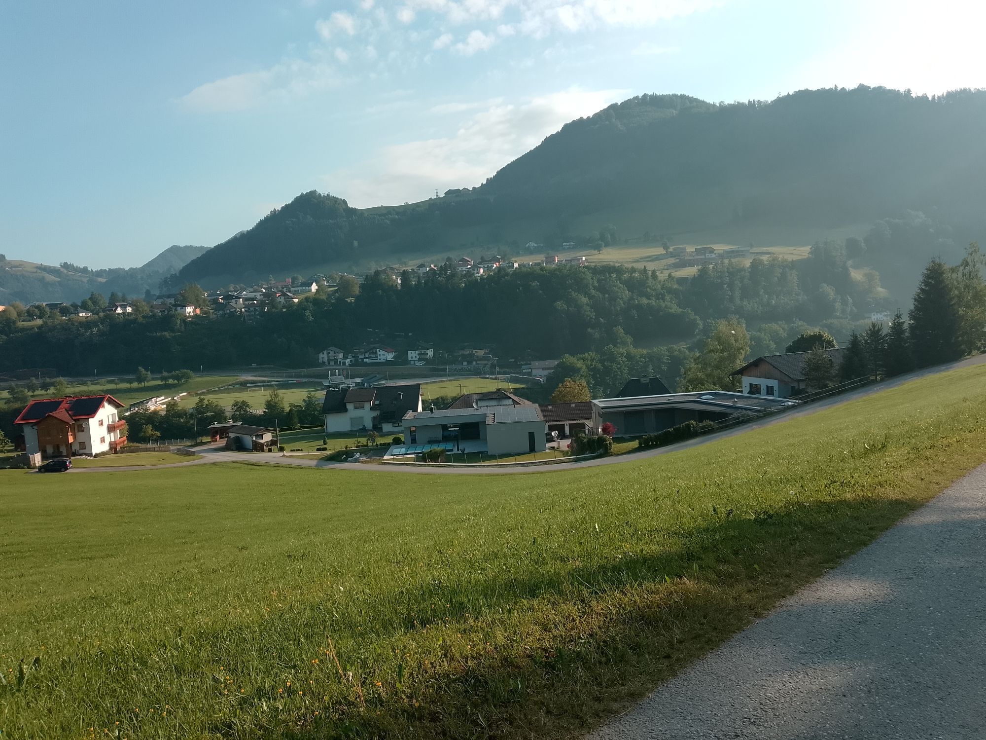
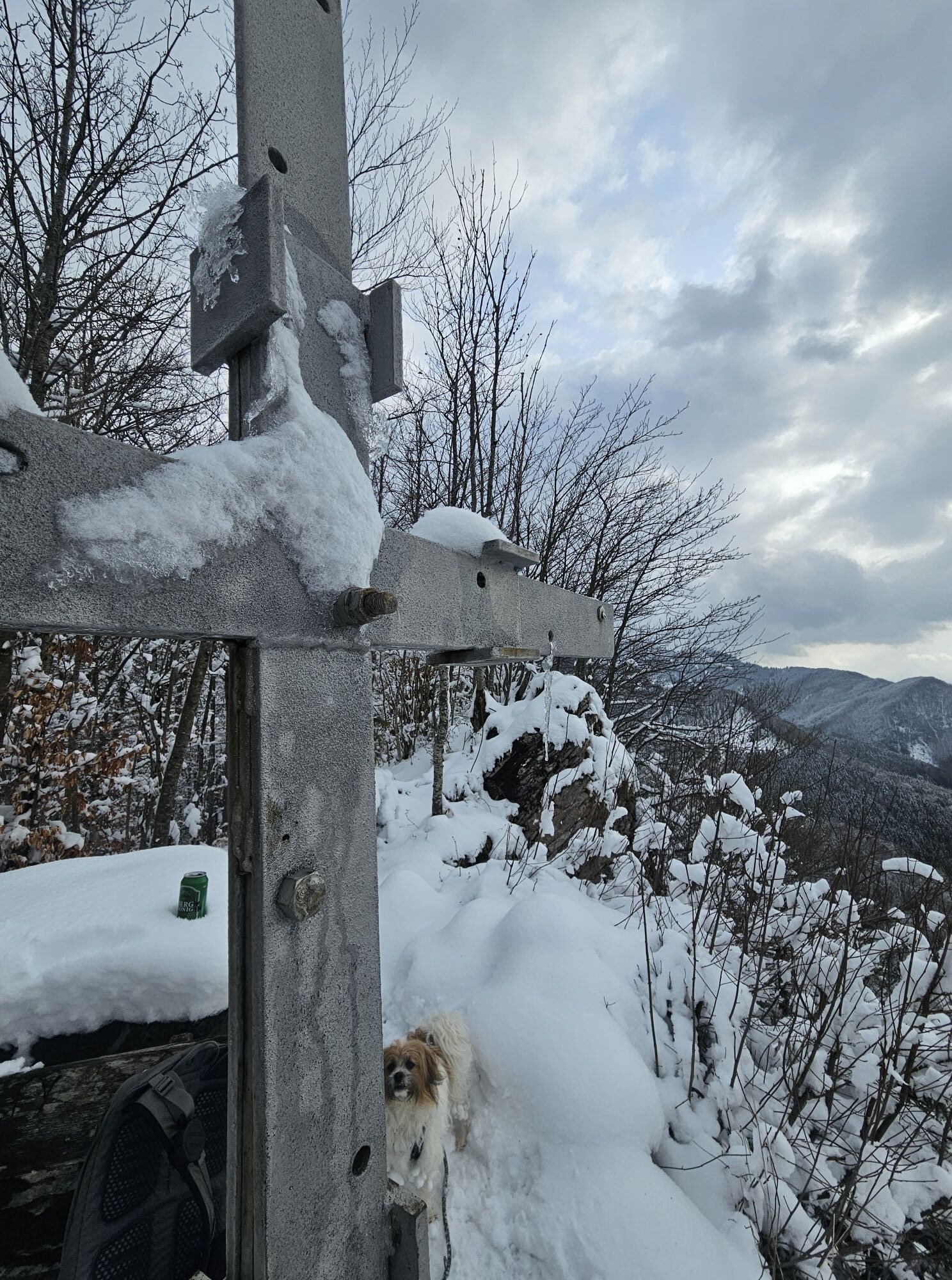
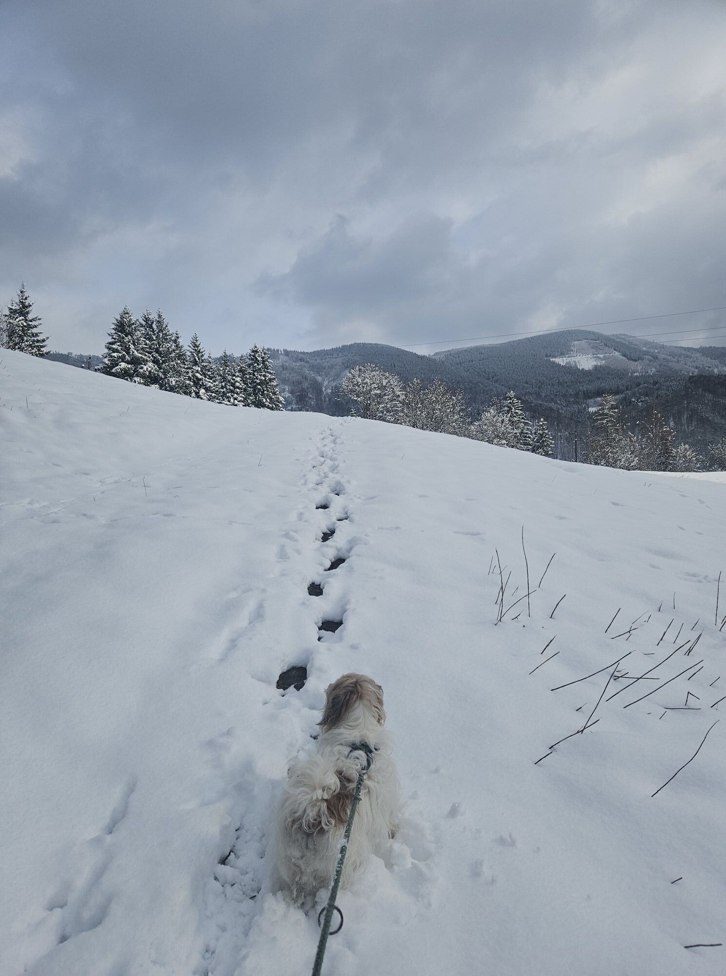
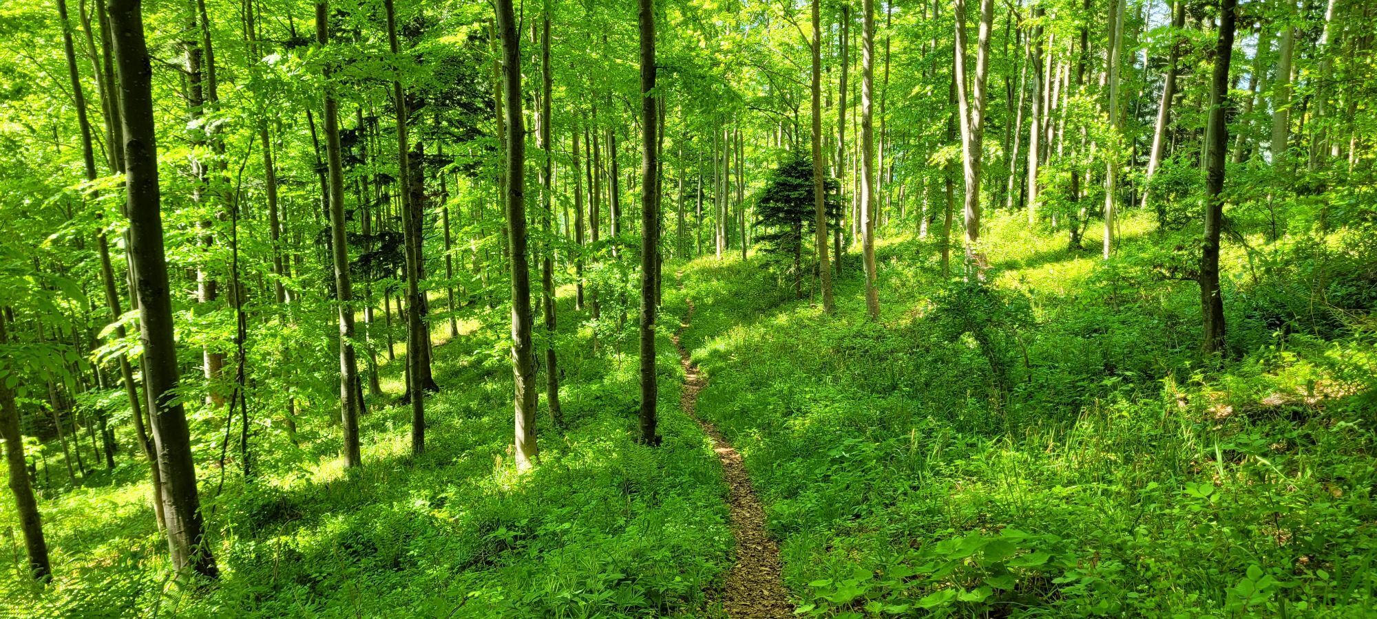
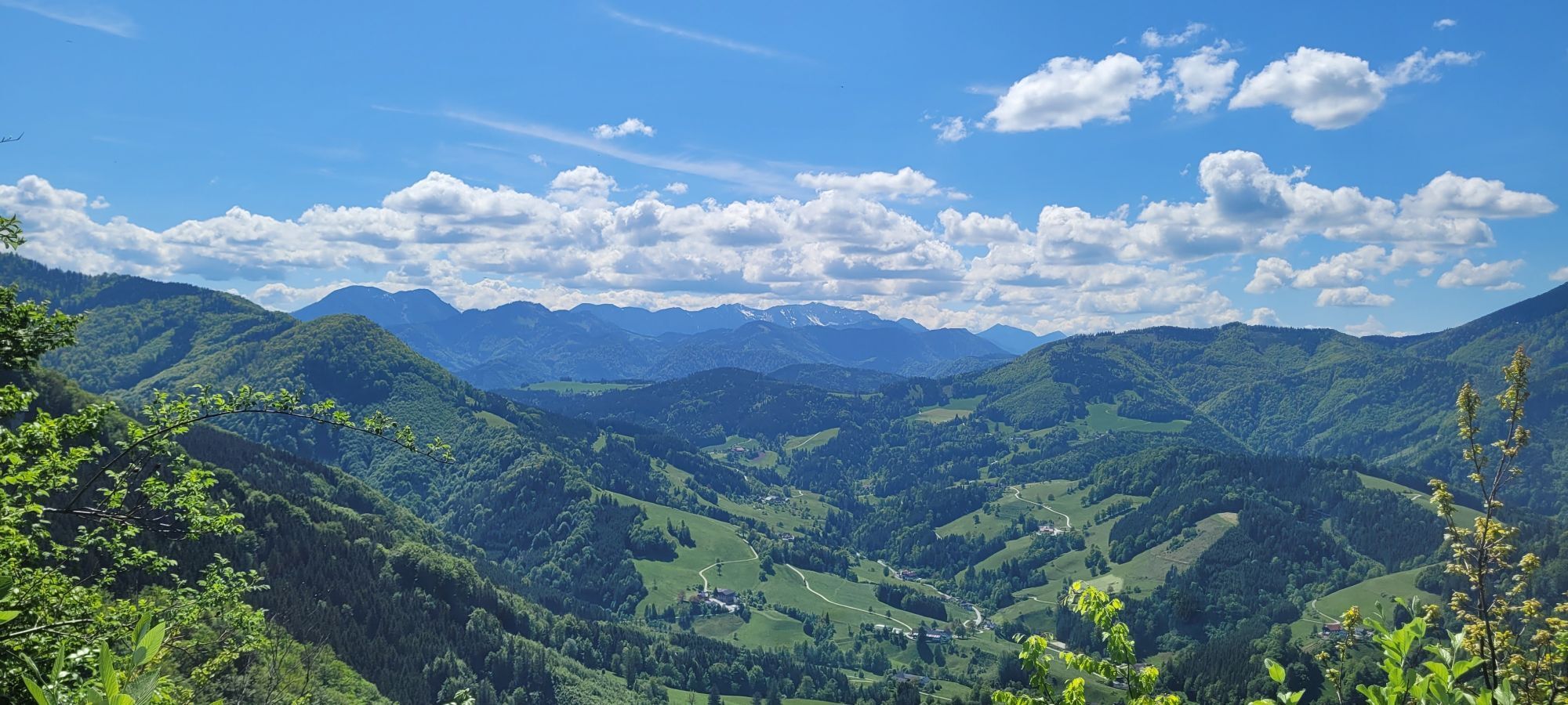
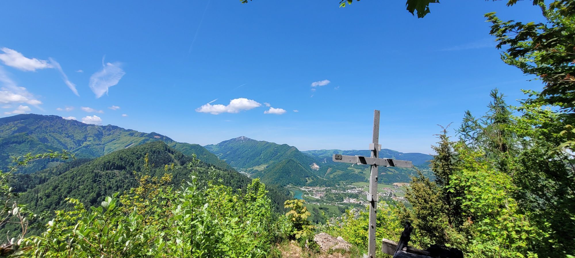
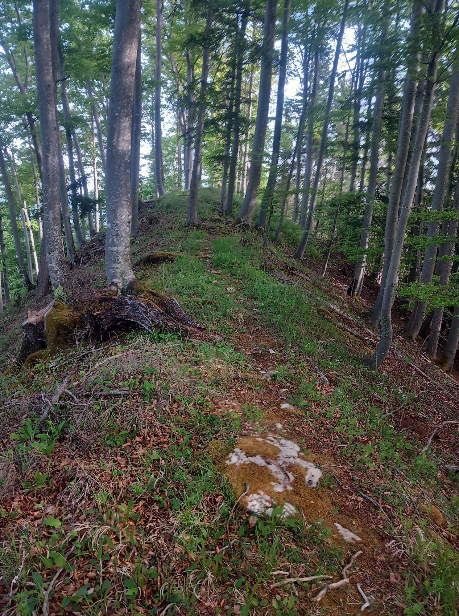
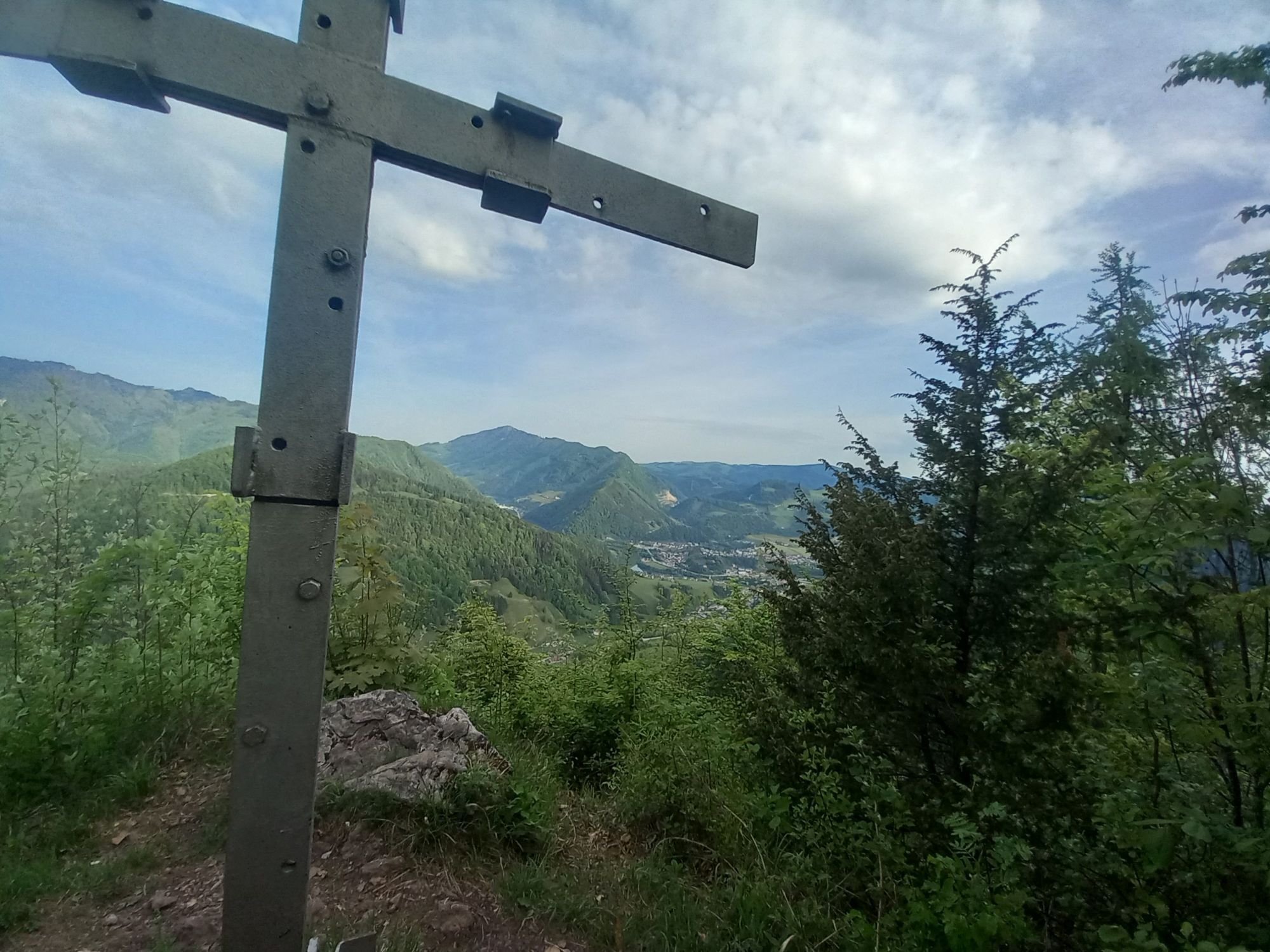
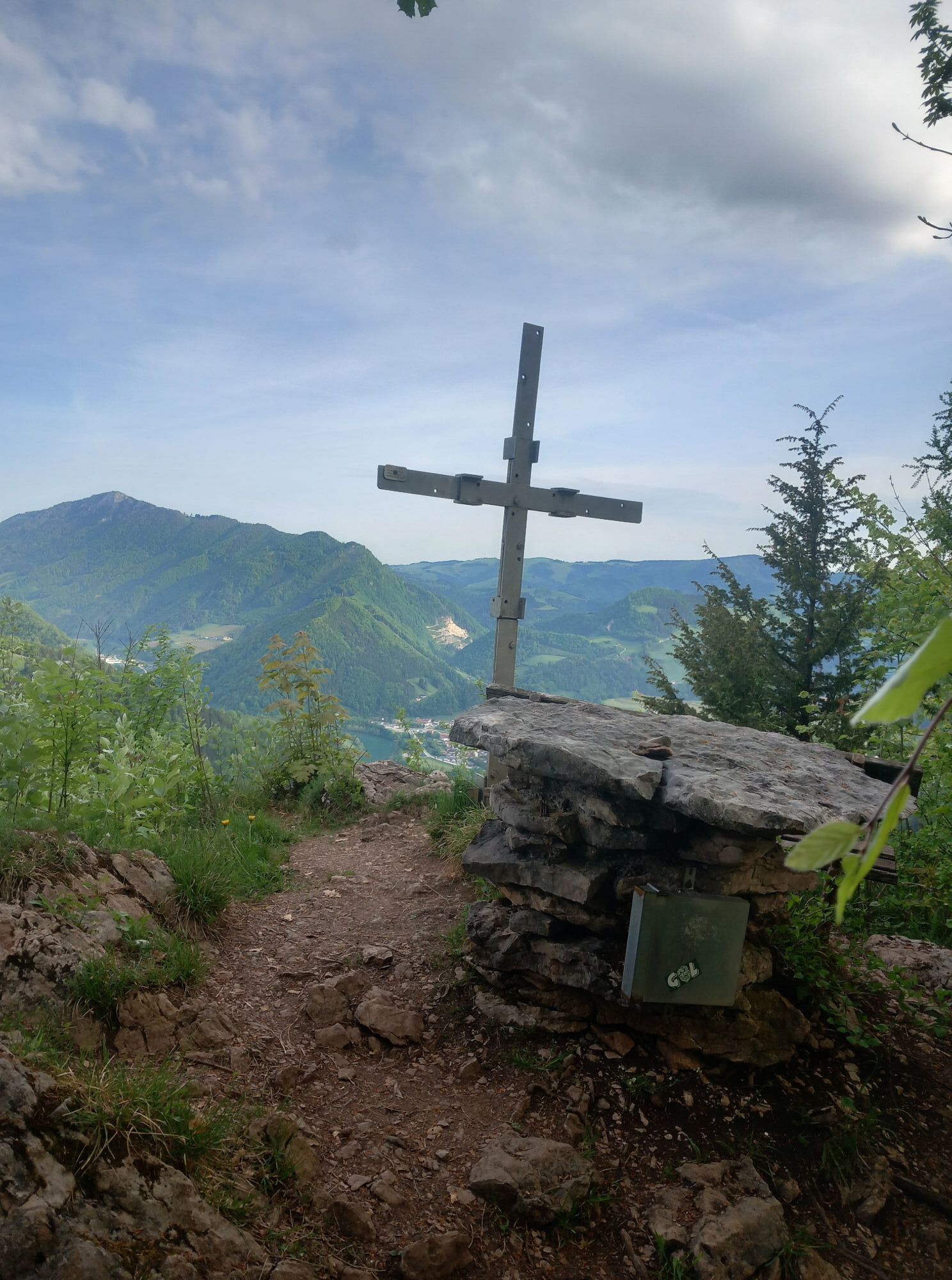
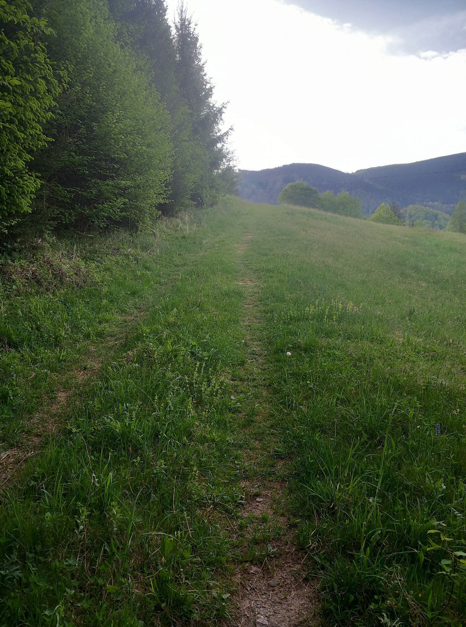
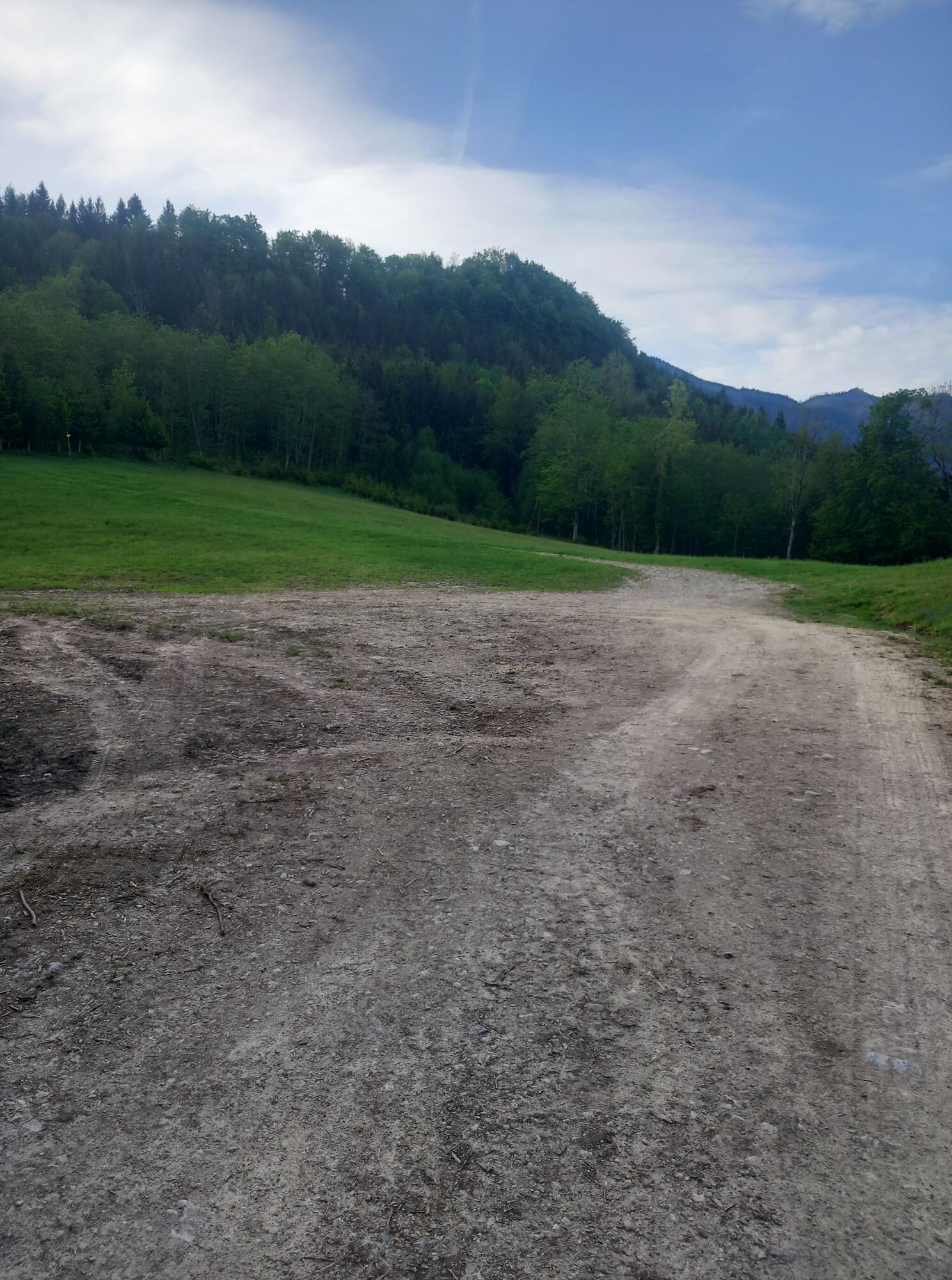
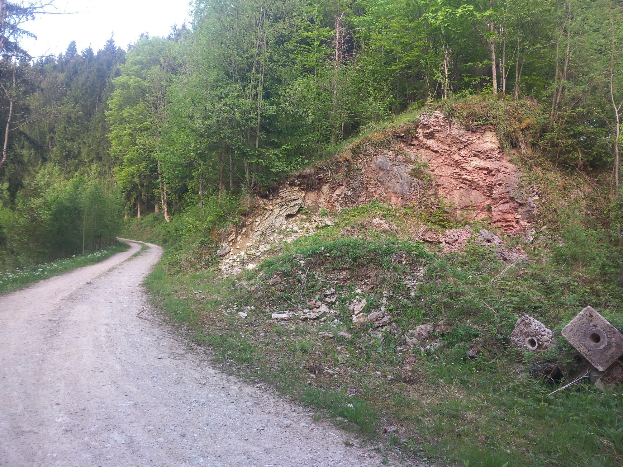
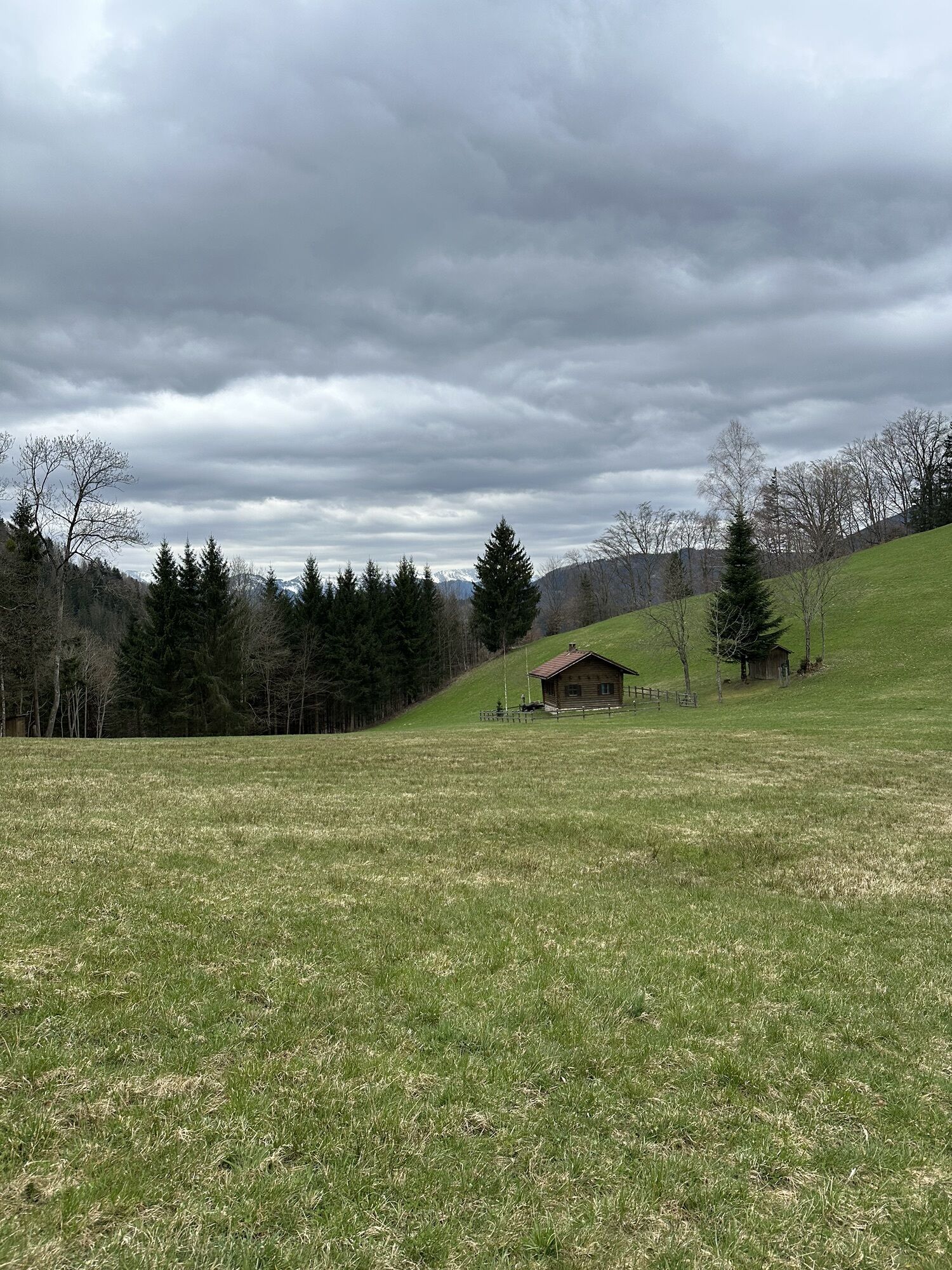
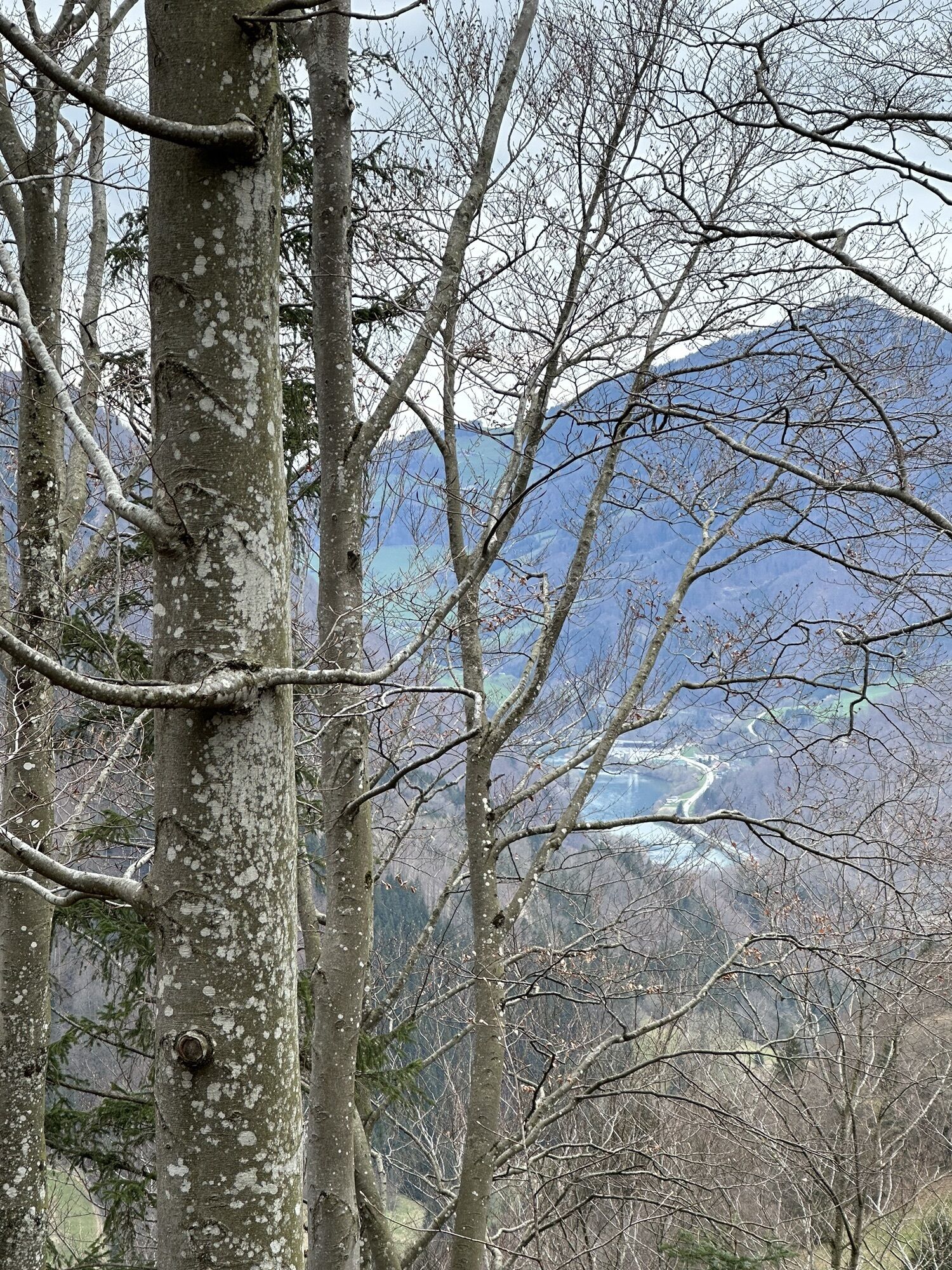
This varied circular hike leads from Großraming train station over panoramic heights and through idyllic forest landscapes to the striking Rotstein. The wide views of the Hintergebirge and the option to...
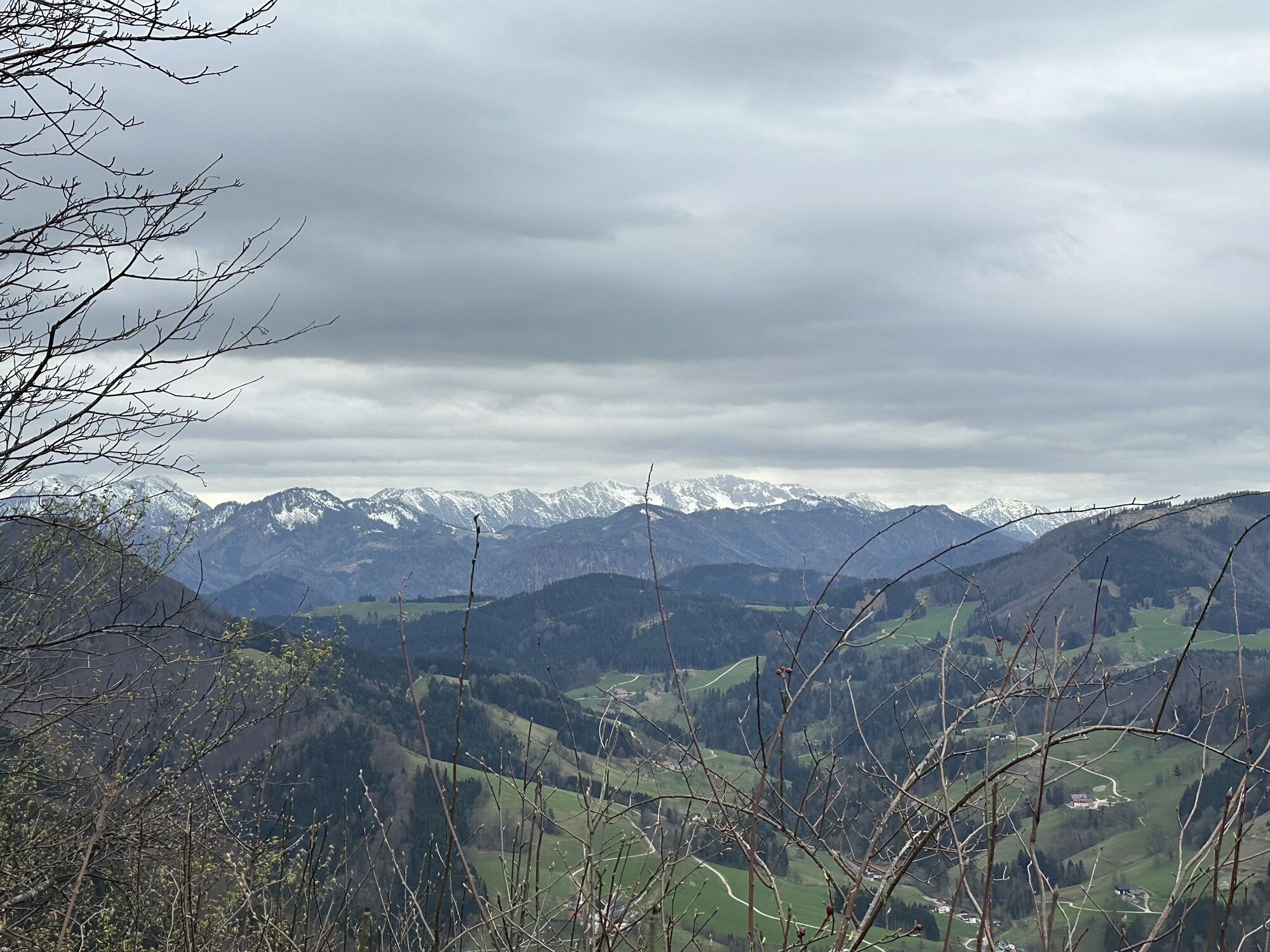
This varied circular hike leads from Großraming train station over panoramic heights and through idyllic forest landscapes to the striking Rotstein. The wide views of the Hintergebirge and the option to shorten or extend the tour are particularly attractive.

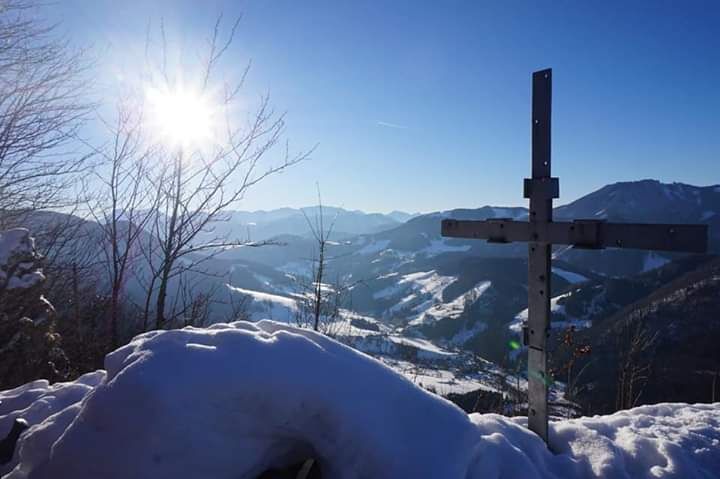

From the saddle, you cross an upland moor before reaching the Brennhöhe, which offers a first beautiful view. Here you have the option of shortening the tour to the right via Hinterlangerbauer or following the further ascent towards Rotstein.
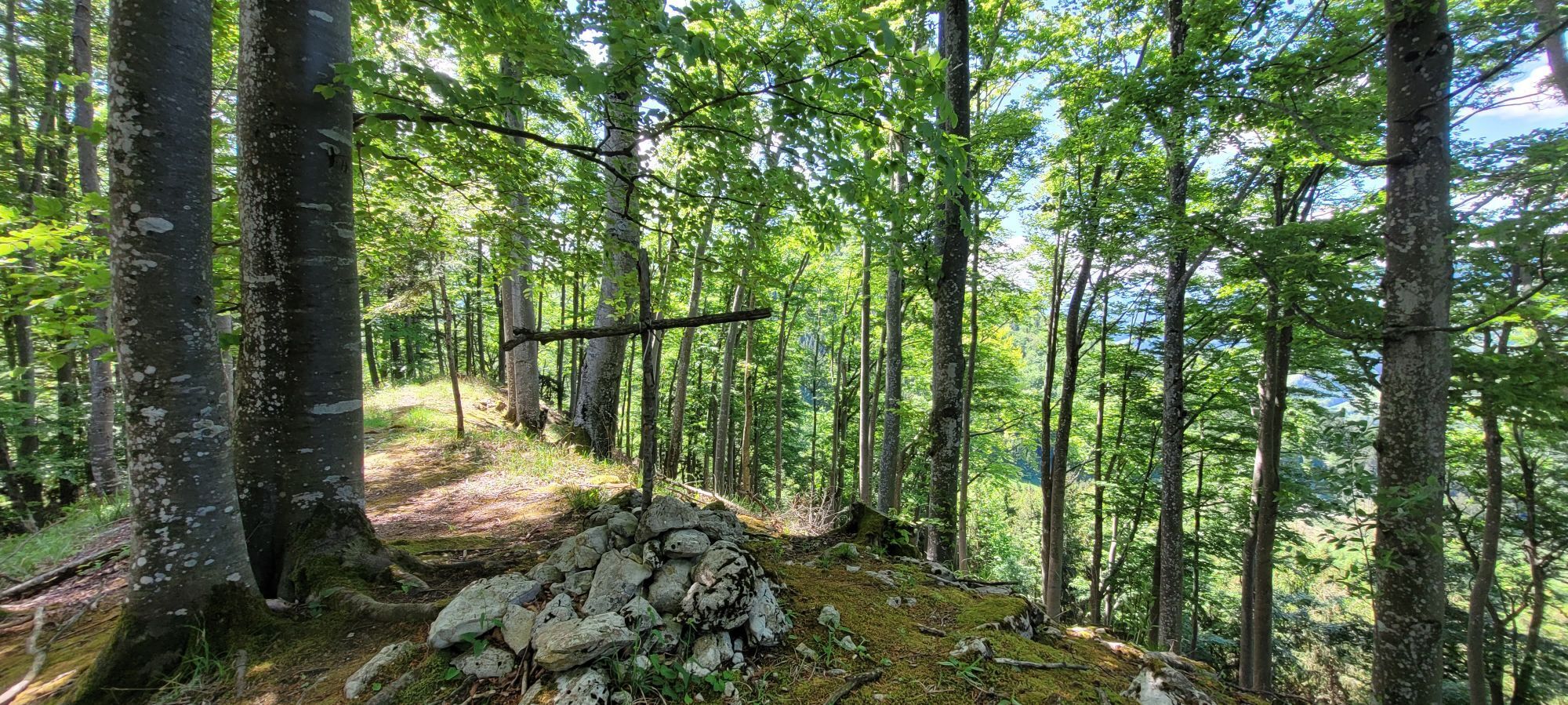
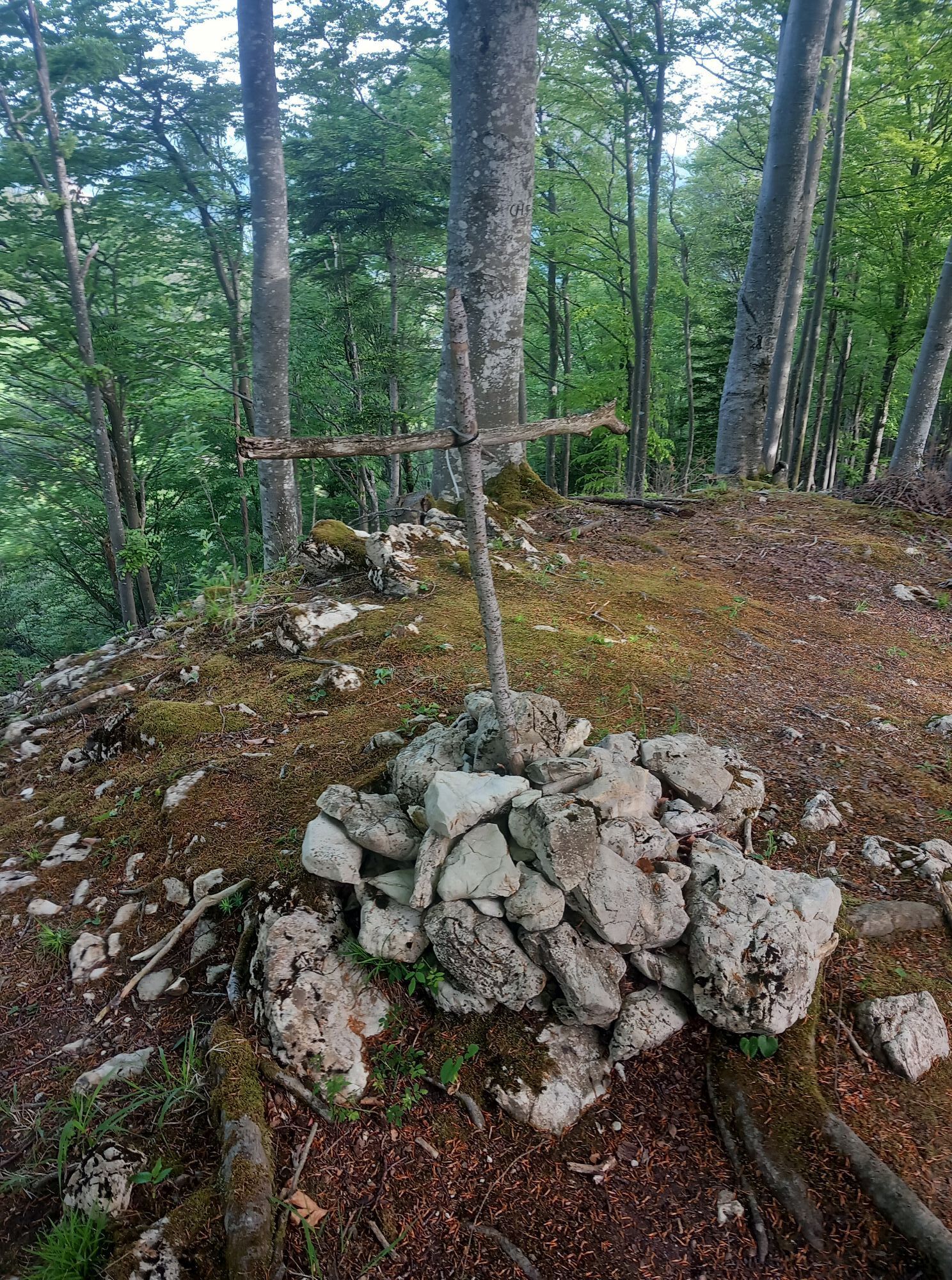
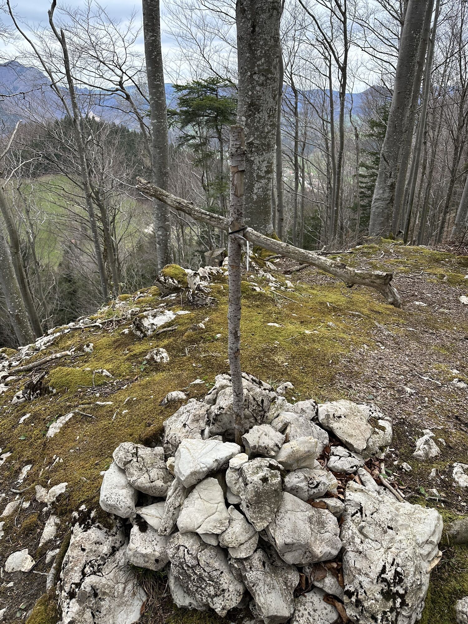
After about 100 meters on the Almkogelweg, turn right after a gate and climb steeply uphill through the forest. As the altitude increases, views of Großraming and the surrounding Hintergebirge mountains open up again and again. Finally, you reach the summit of the Rotstein, which offers great views.
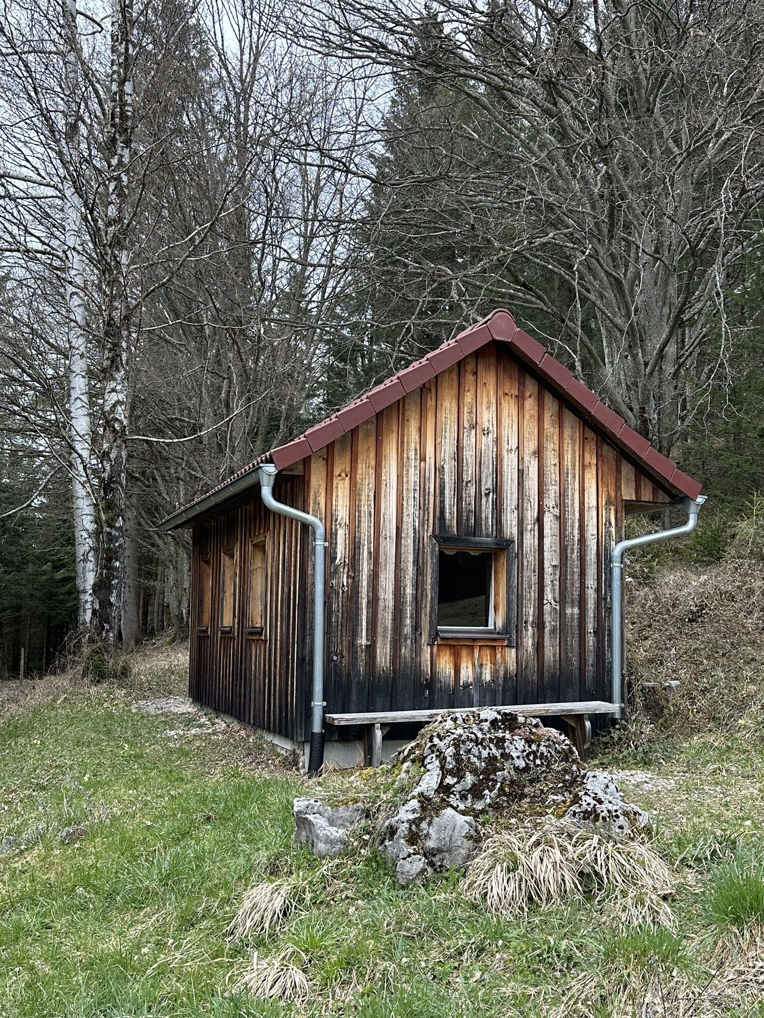
From the summit, the path leads down the front side to the Hinterlangerbauer farmhouse. From there, you hike out of the valley through the Lumplgraben and return to the starting point at Großraming train station on a pleasant path.
Every tour should be well planned and prepared. Good equipment with avalanche transceiver, shovel and probe is essential. Weather forecasts, avalanche warnings and safety instructions must be observed.
Großraming train station
Großraming train station
Infórmate
Siempre en directo con más de 9.500 webcams. bergfex Como usuario Pro, ahora puede ver las webcams correspondientes a muchos tours en la app de tours desde. Esto le permite ver las condiciones actuales directamente.

Rutas populares en los alrededores
-
4,9
Cabaña Ennser - Almkogel (desde el aparcamiento Bamacher)
medioSenderismo 3,53 km -
4,8
Steinerner Jäger (1185m) und Schieferstein (1206m) ab Parkplatz Hochhabichler
medioSenderismo 4,46 km -
4,7
GROSSRAMING Bamacher, Burgspitz, Almkogel, Ennshütte 20240730
medioSenderismo 10 km -
4,7
Steinerner Jäger (1185m) und Schieferstein (1206m) ab Parkplatz Hack
pesadoSenderismo 8,58 km -
4,6
Gamsstein (1275m) und Gschwendtalm ab Parkplatz Brunnbach
medioSenderismo 7,37 km -
4,3
Freithofberg
medioSenderismo 9,15 km -
4,7
Anlaufalmrunde
medioMountainbike 51,0 km -
4,4
Kleine Gipfelrunde Glasenberg
luzSenderismo 4,99 km -
3,9
Sonnkogel (1177m) und Hohe Dirn (1134m) ab Parkplatz Hohe Dirn
medioSenderismo 7,71 km -
4,2
Burgspitz, Almkogel, Wieser, Langlackenmauer und zurück
medioSenderismo 13,5 km
Senderismo y rastreo


No se pierda las ofertas y la inspiración para sus próximas vacaciones
Su dirección de correo electrónico se ha añadido a la lista de correo.





