






Ski tour Steinbach an der Steyr - Hochbuchberg
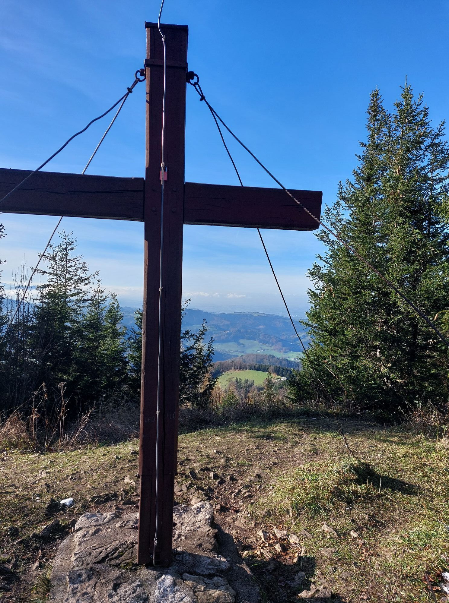
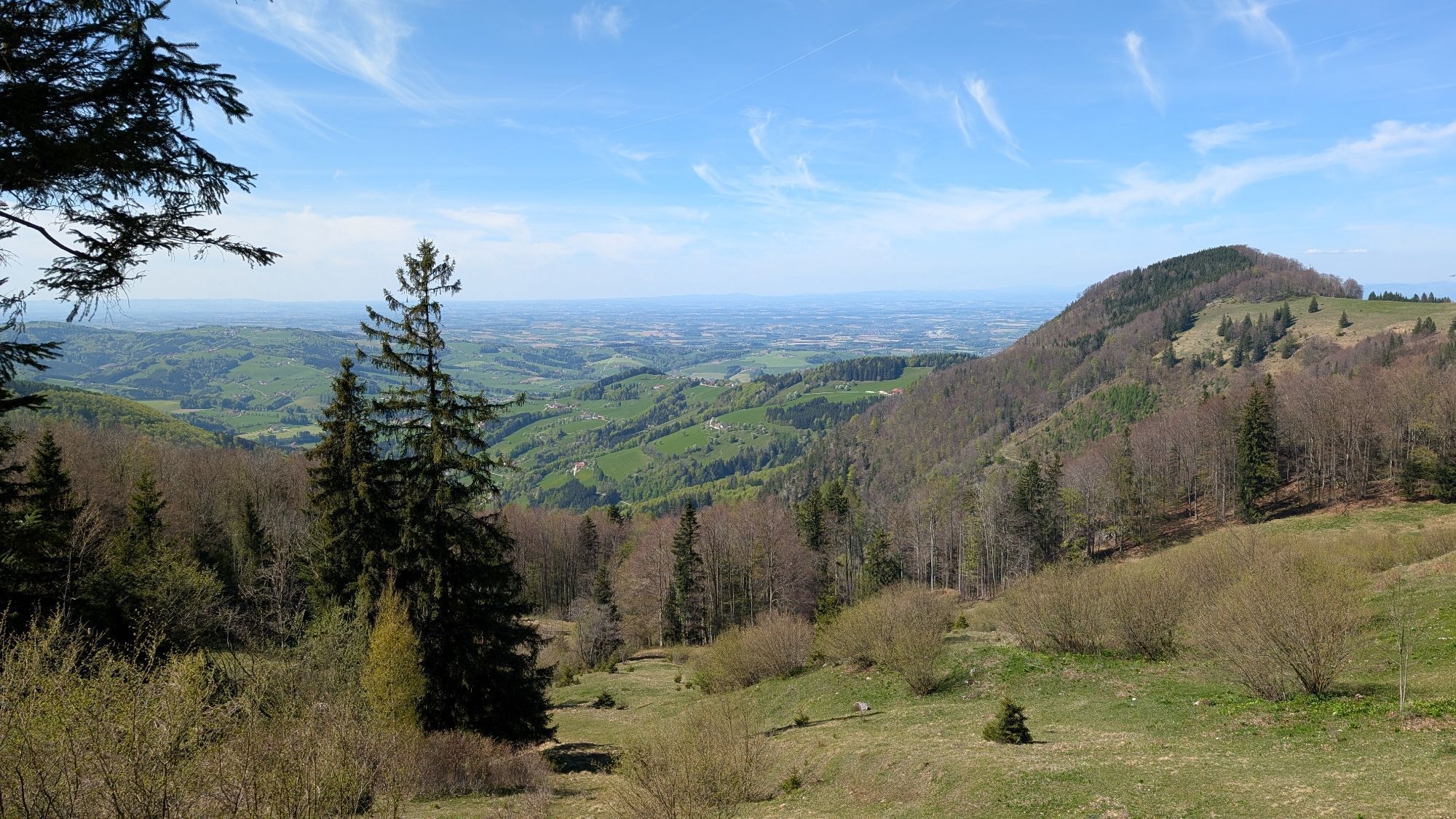
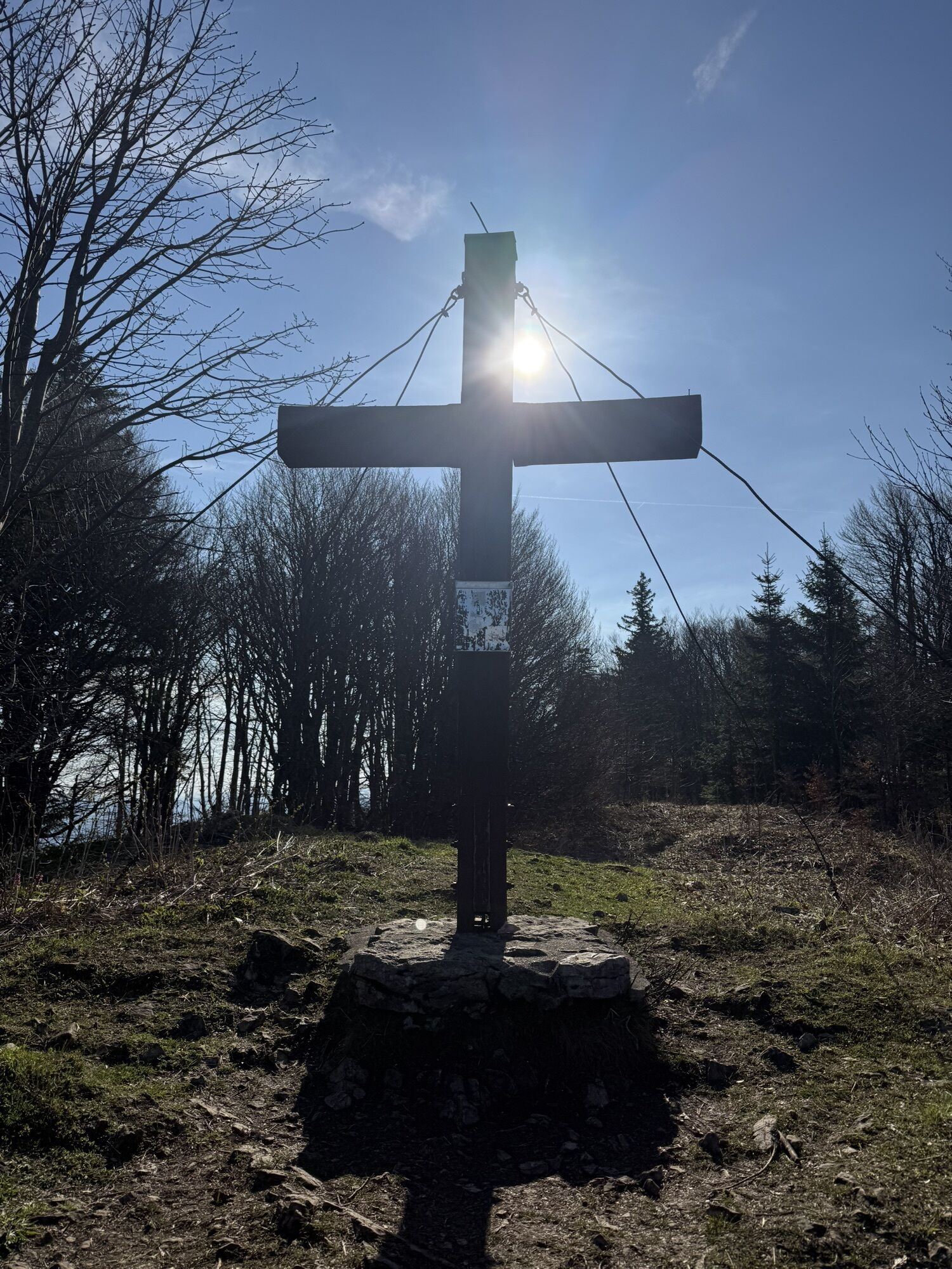
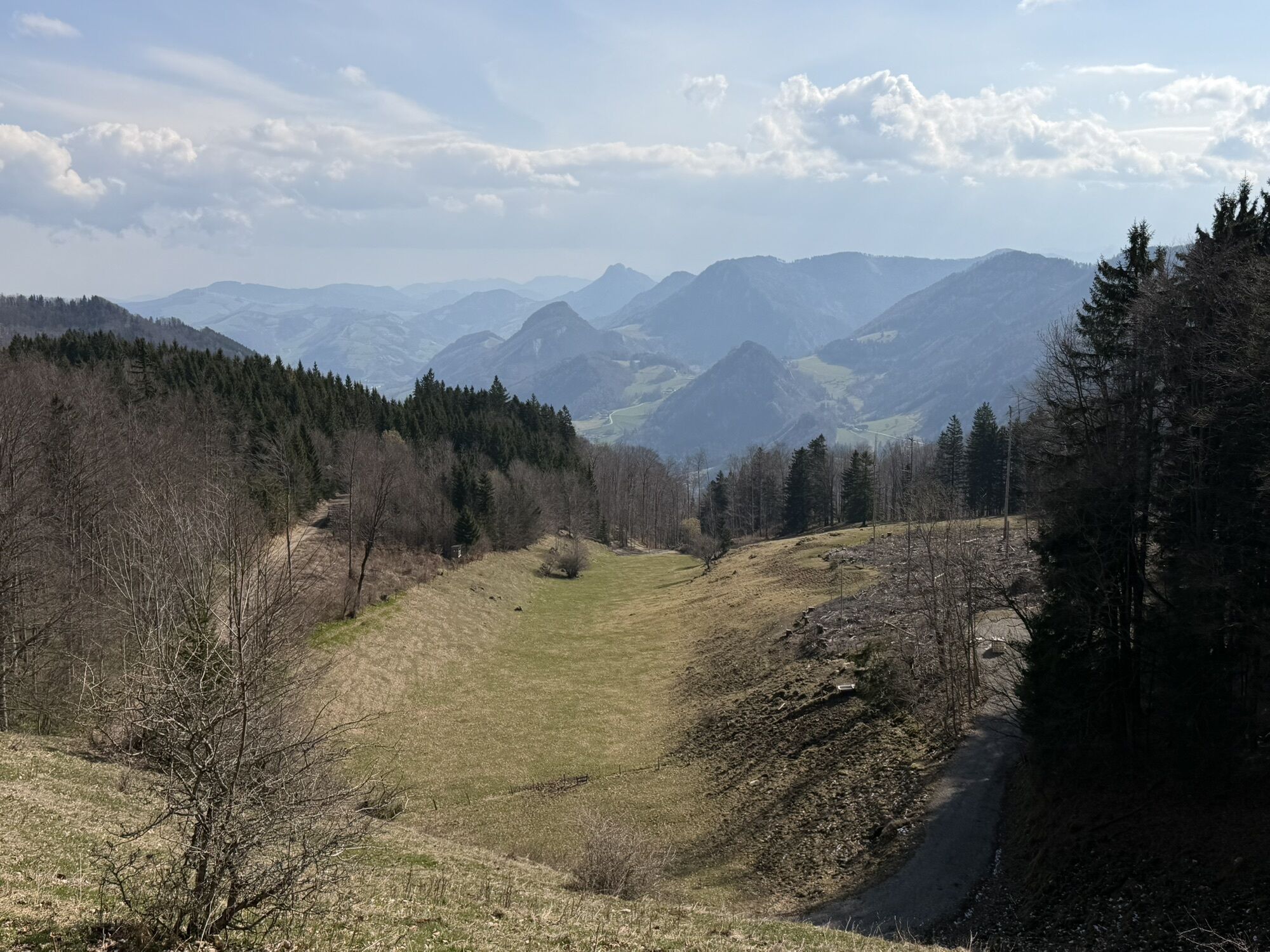
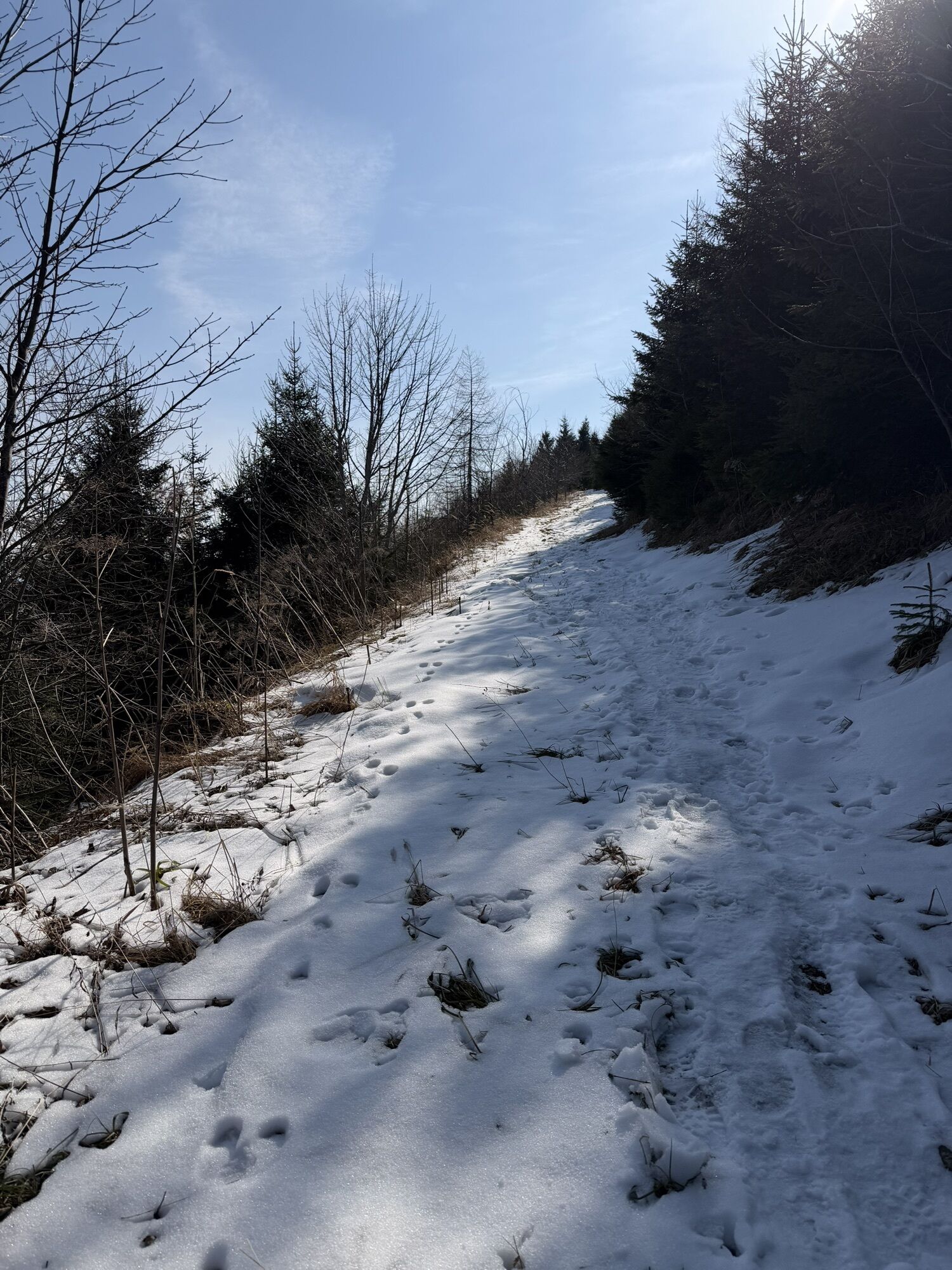
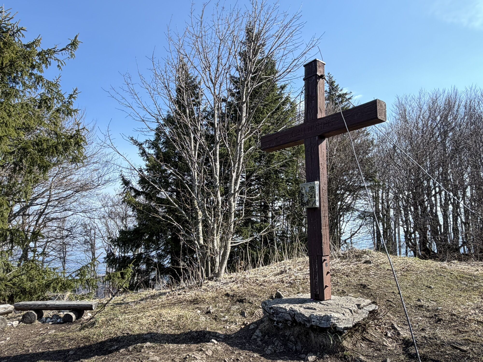
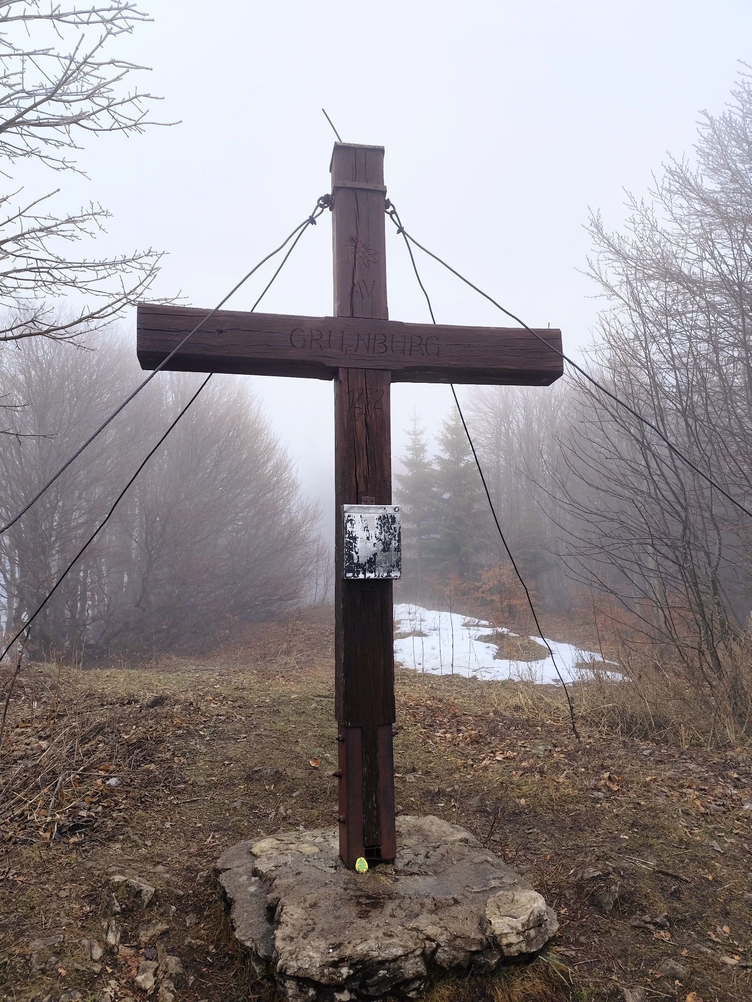
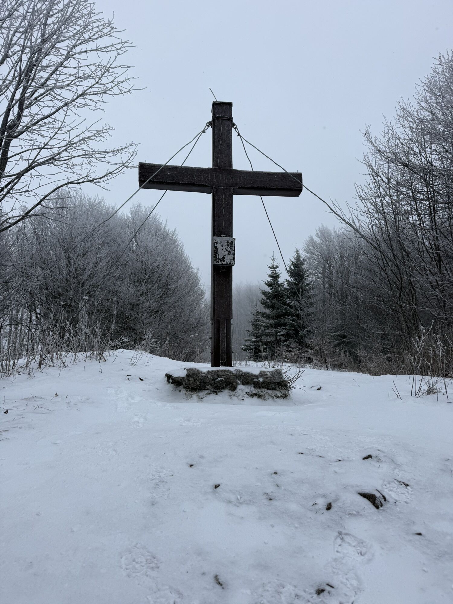
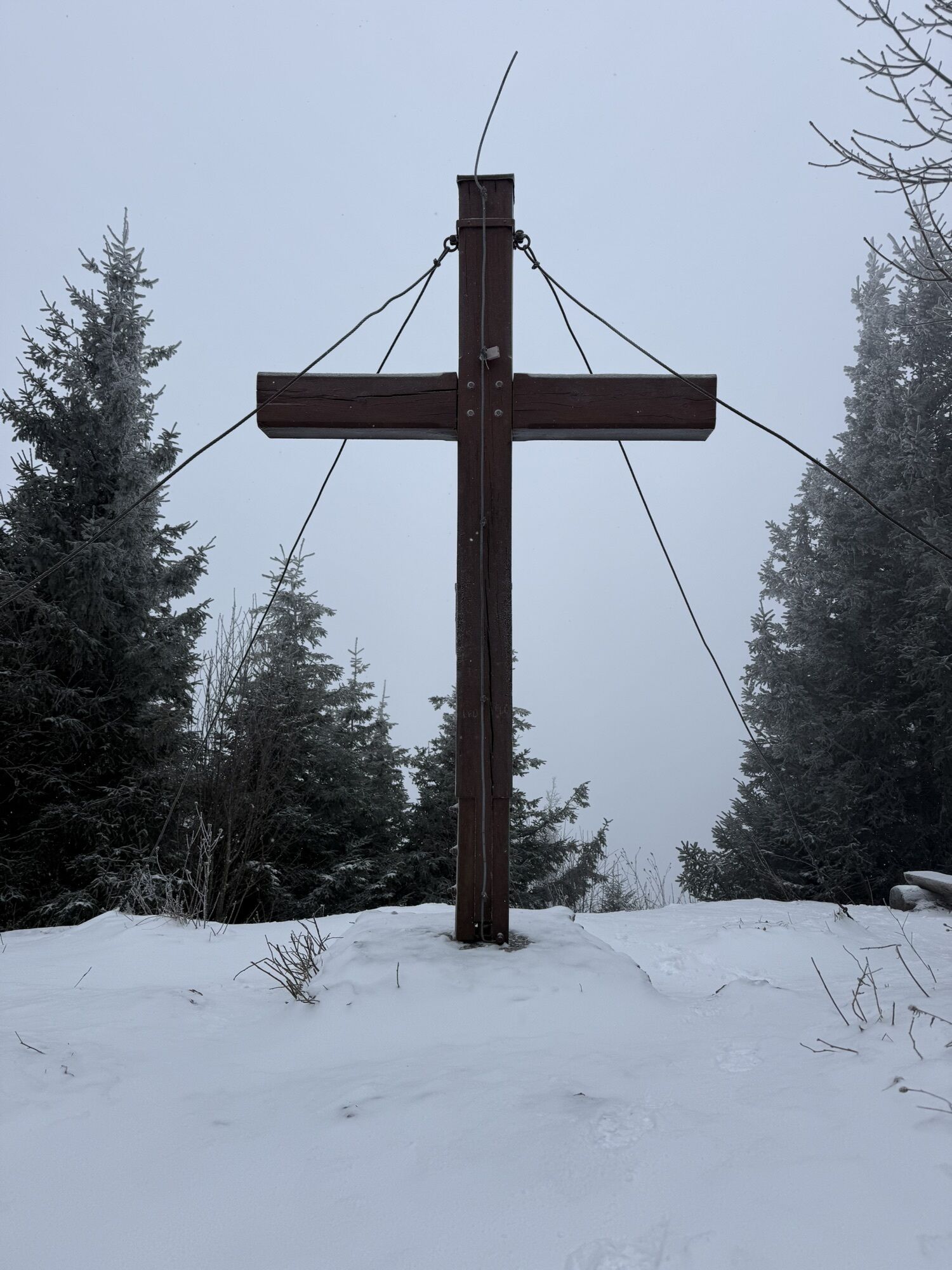
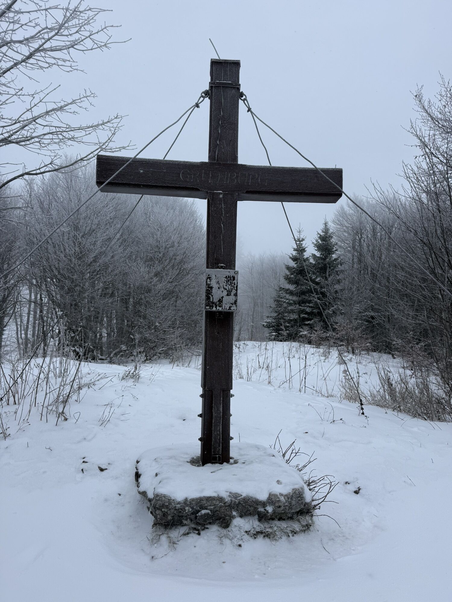
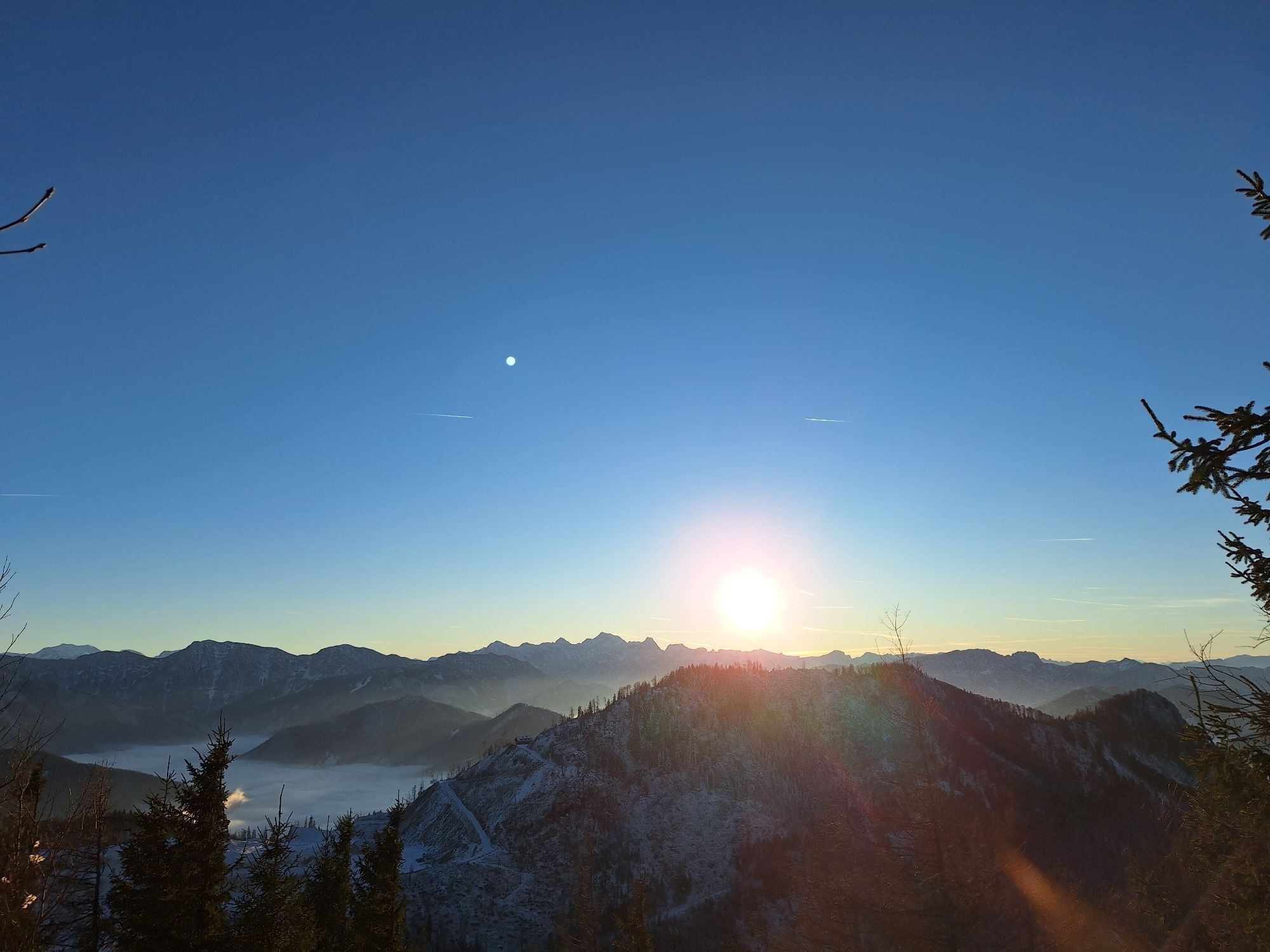

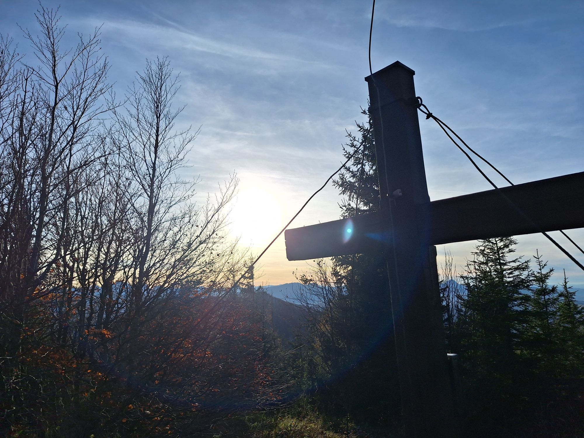
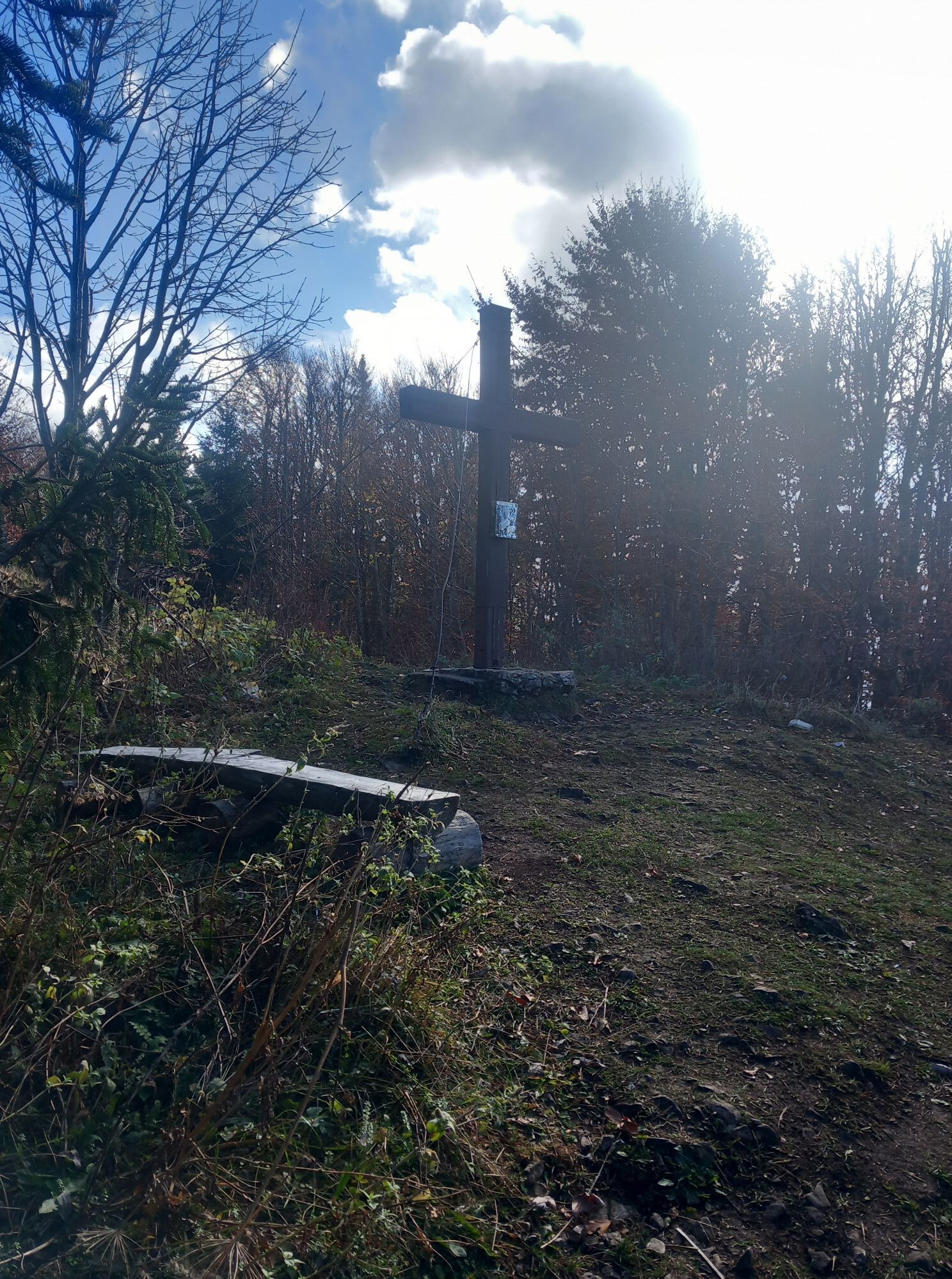
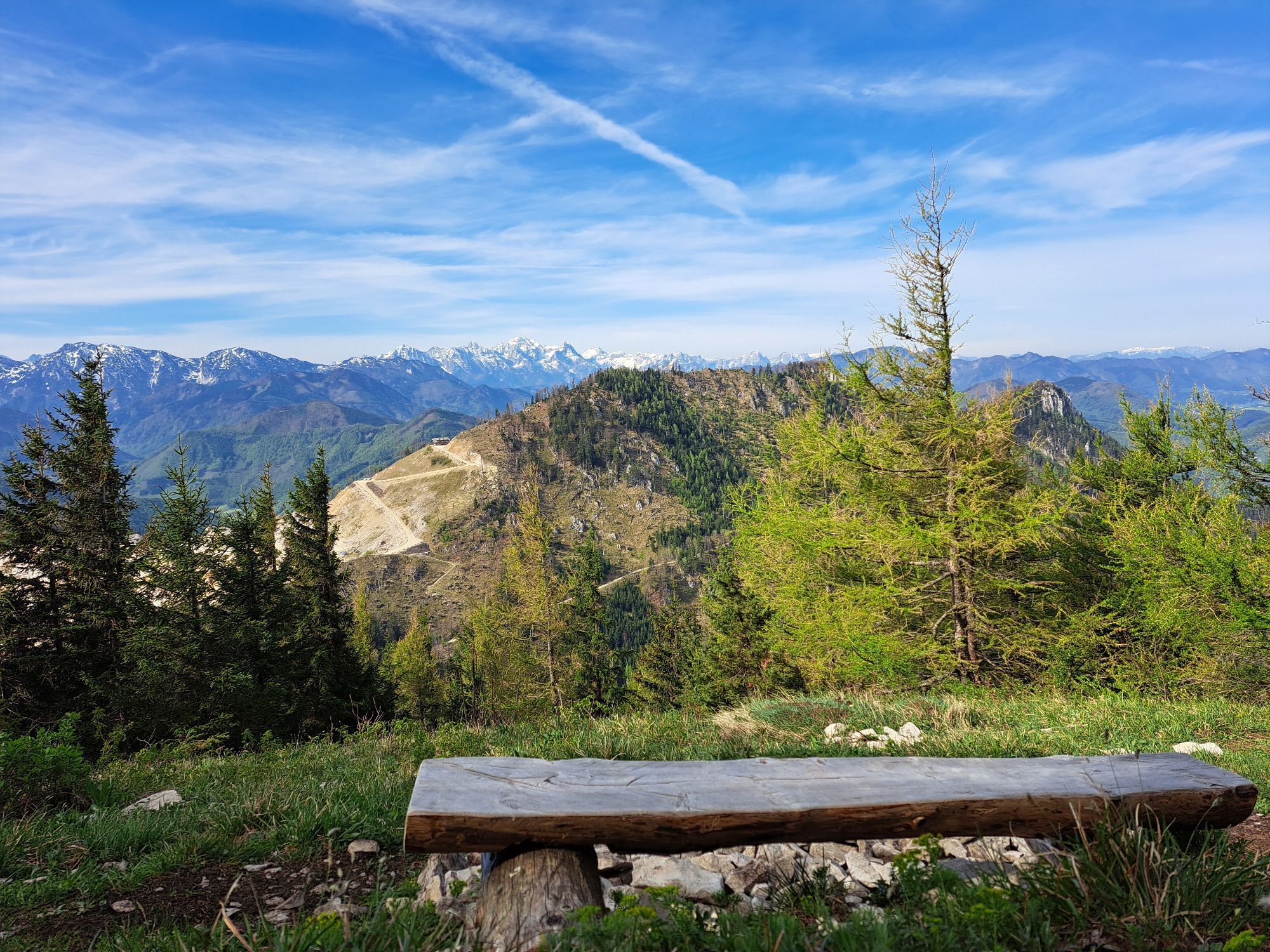
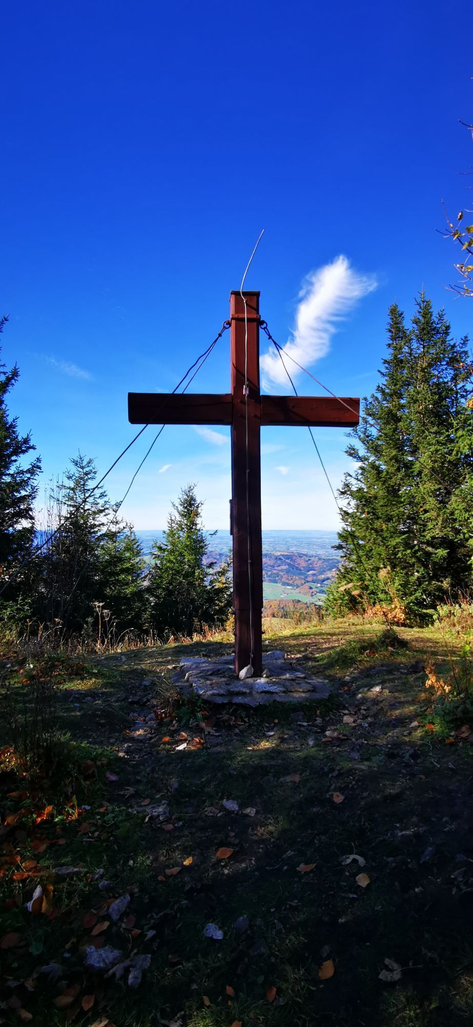
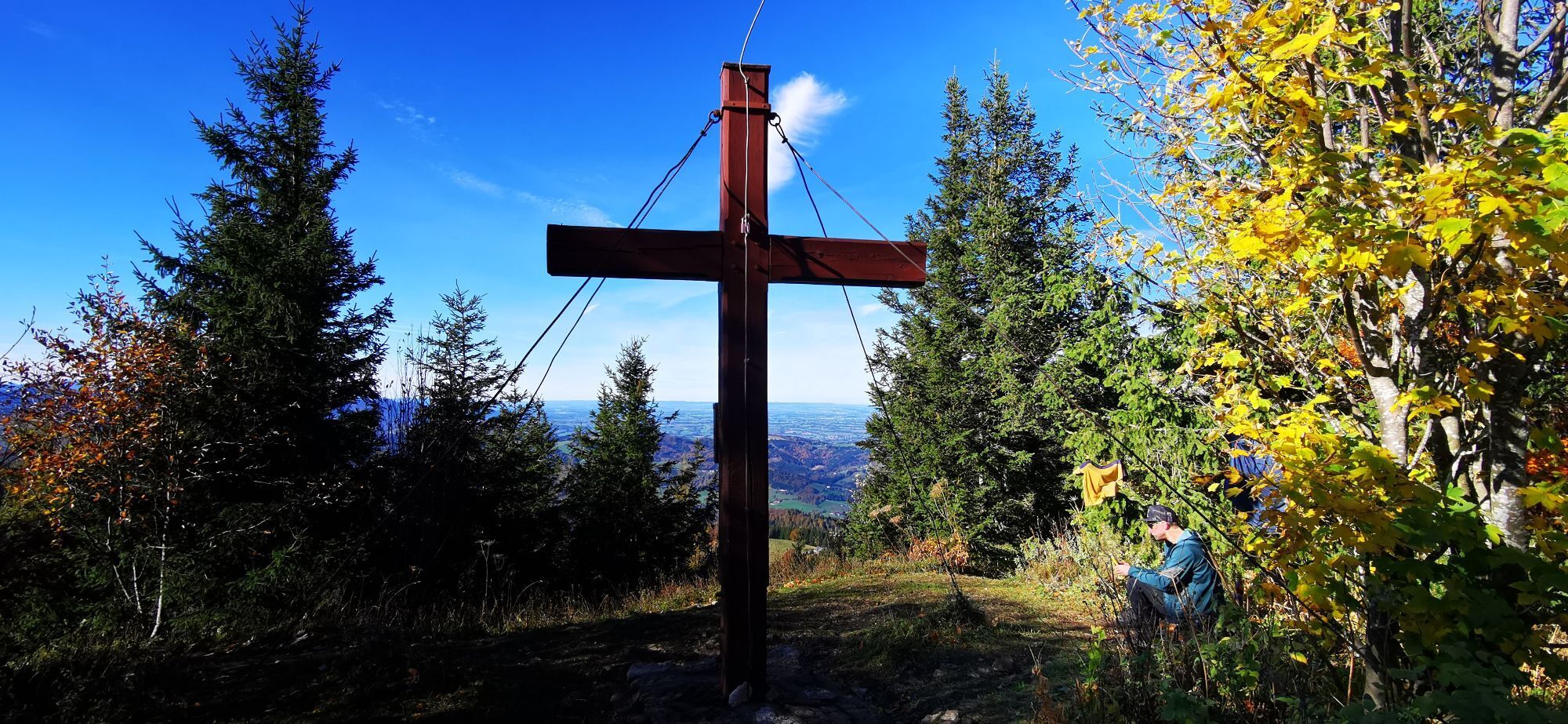
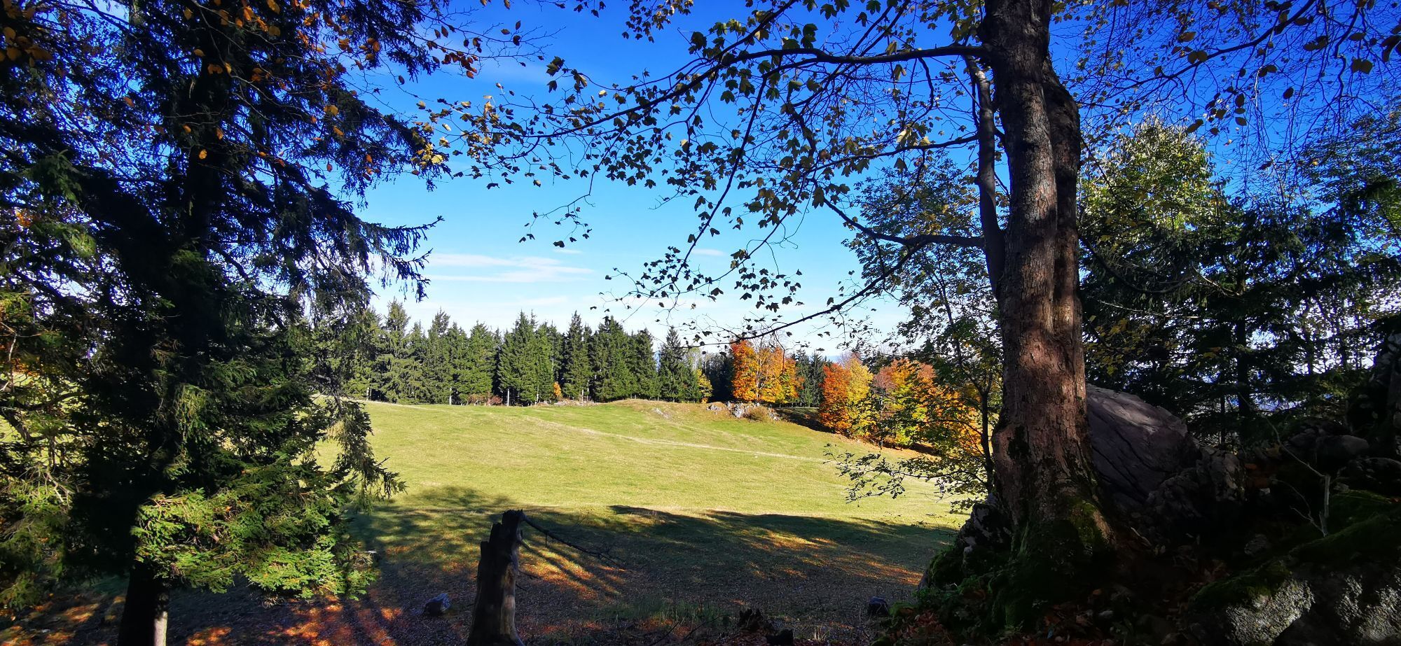
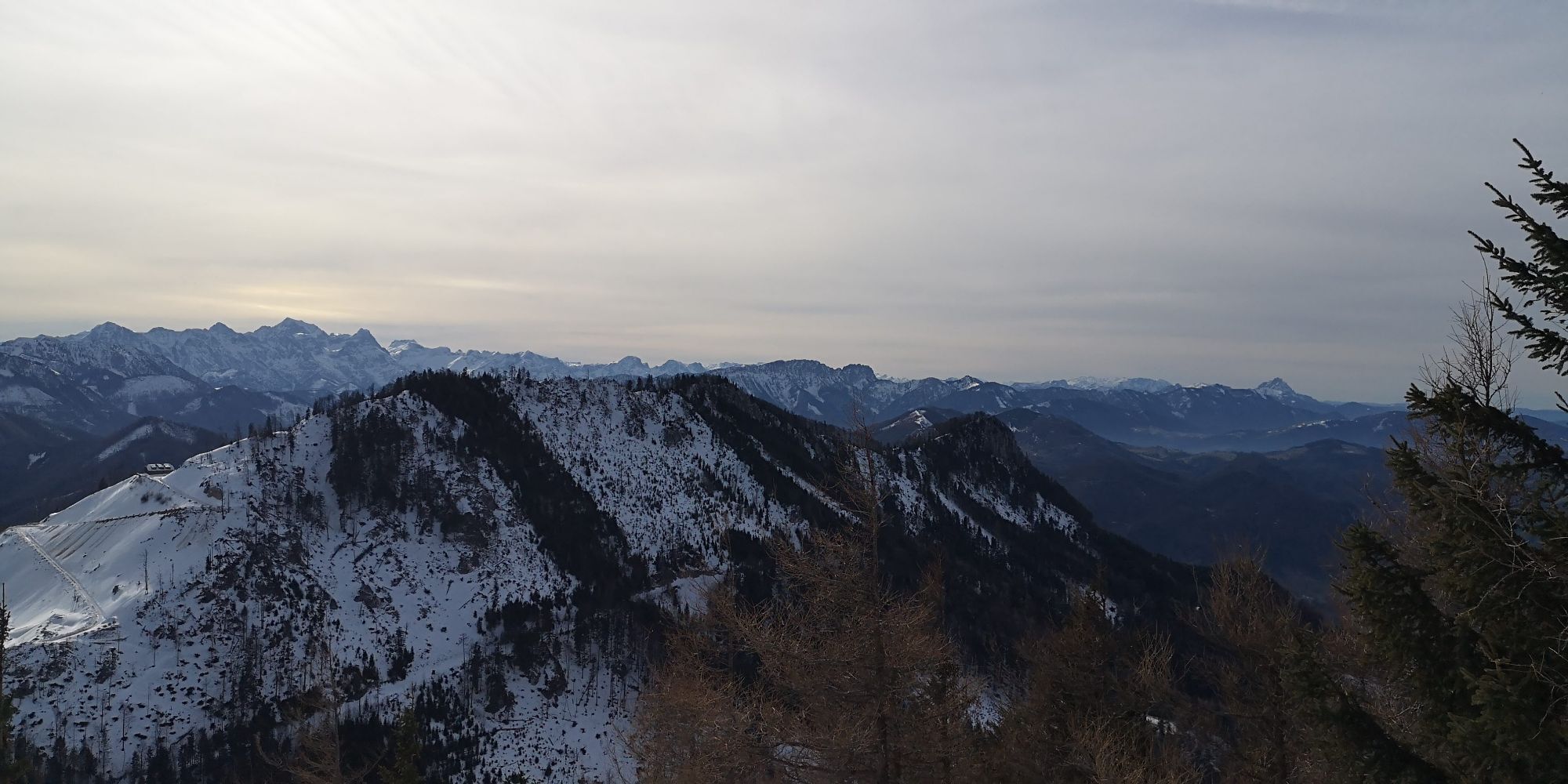
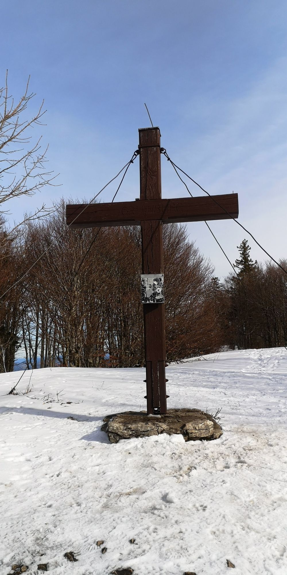
This easy ski tour in the Steinbach an der Steyr area is often used as a training and introductory tour. It leads across gentle meadows and forest roads on a pleasant ascent to the Grünburger Hütte and...
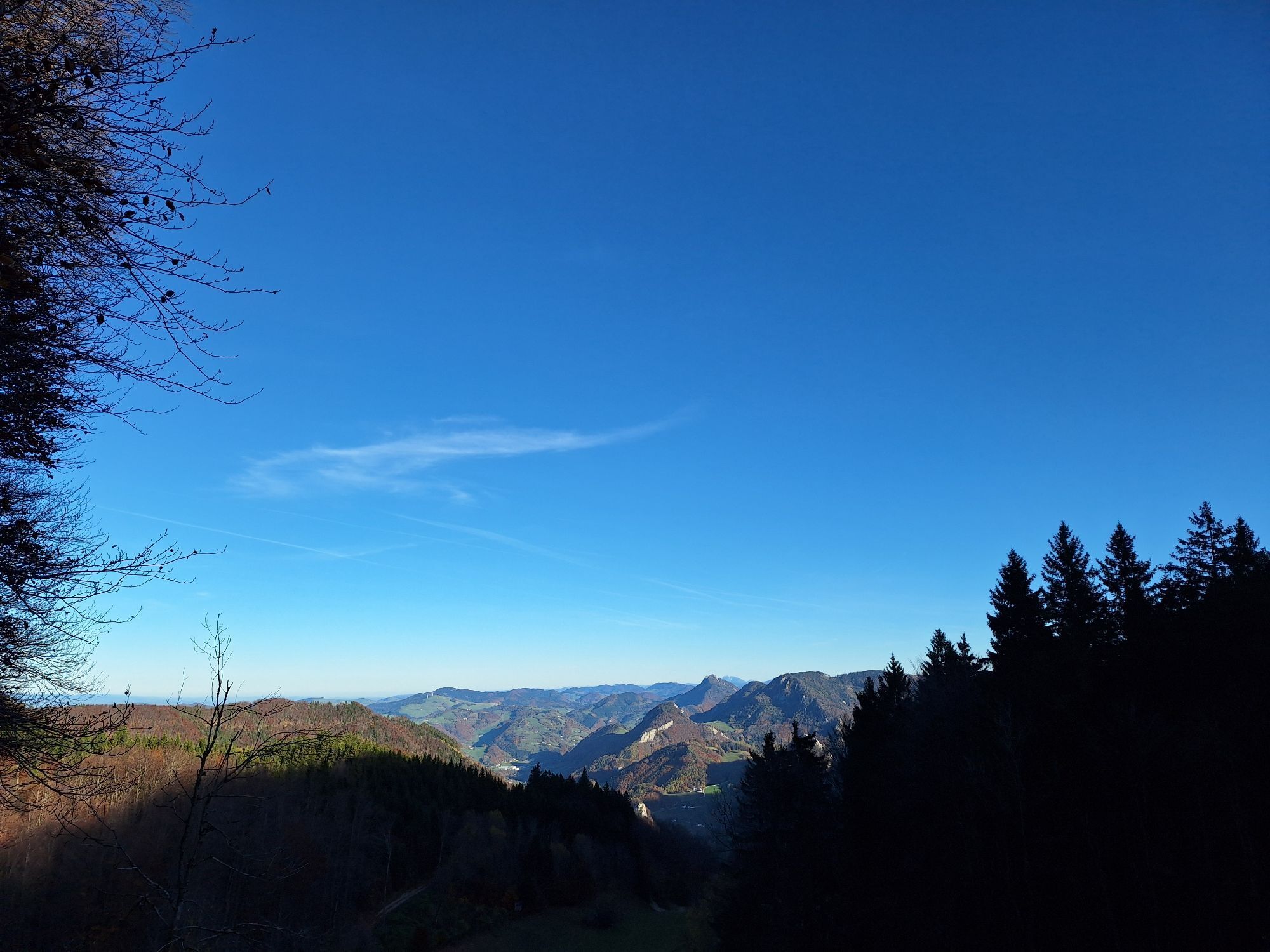
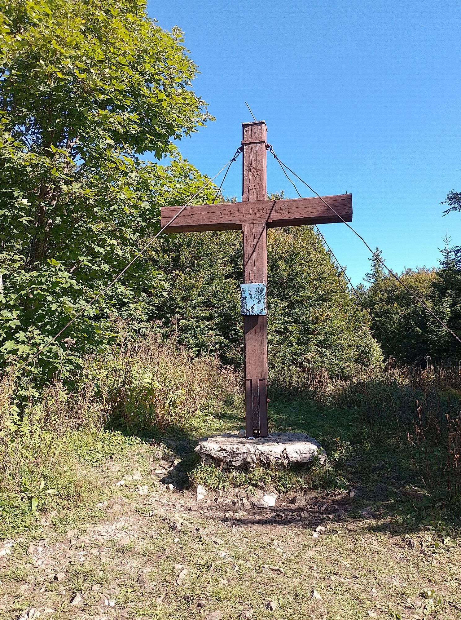
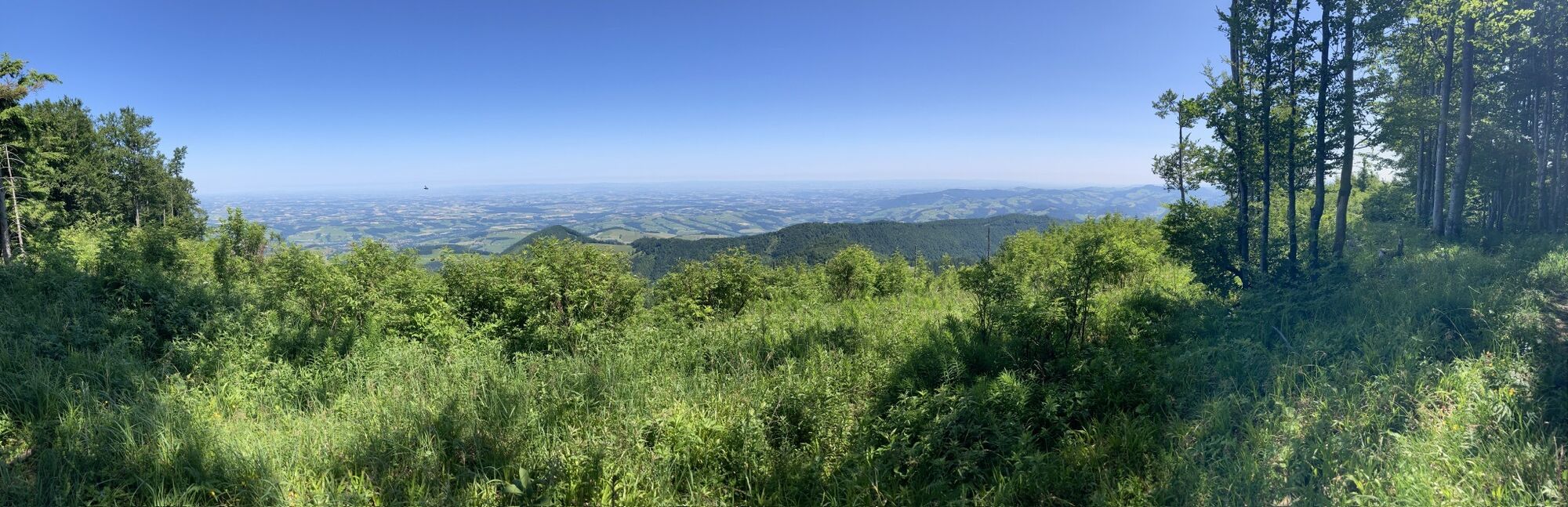
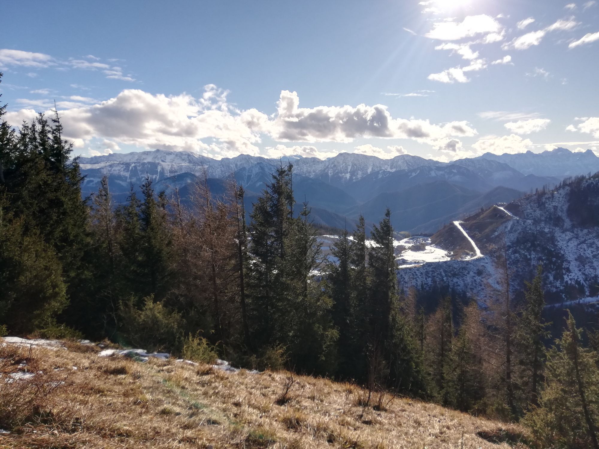
This easy ski tour in the Steinbach an der Steyr area is often used as a training and introductory tour. It leads across gentle meadows and forest roads on a pleasant ascent to the Grünburger Hütte and on towards Hochbuchberg with beautiful views of the Alpine foothills.

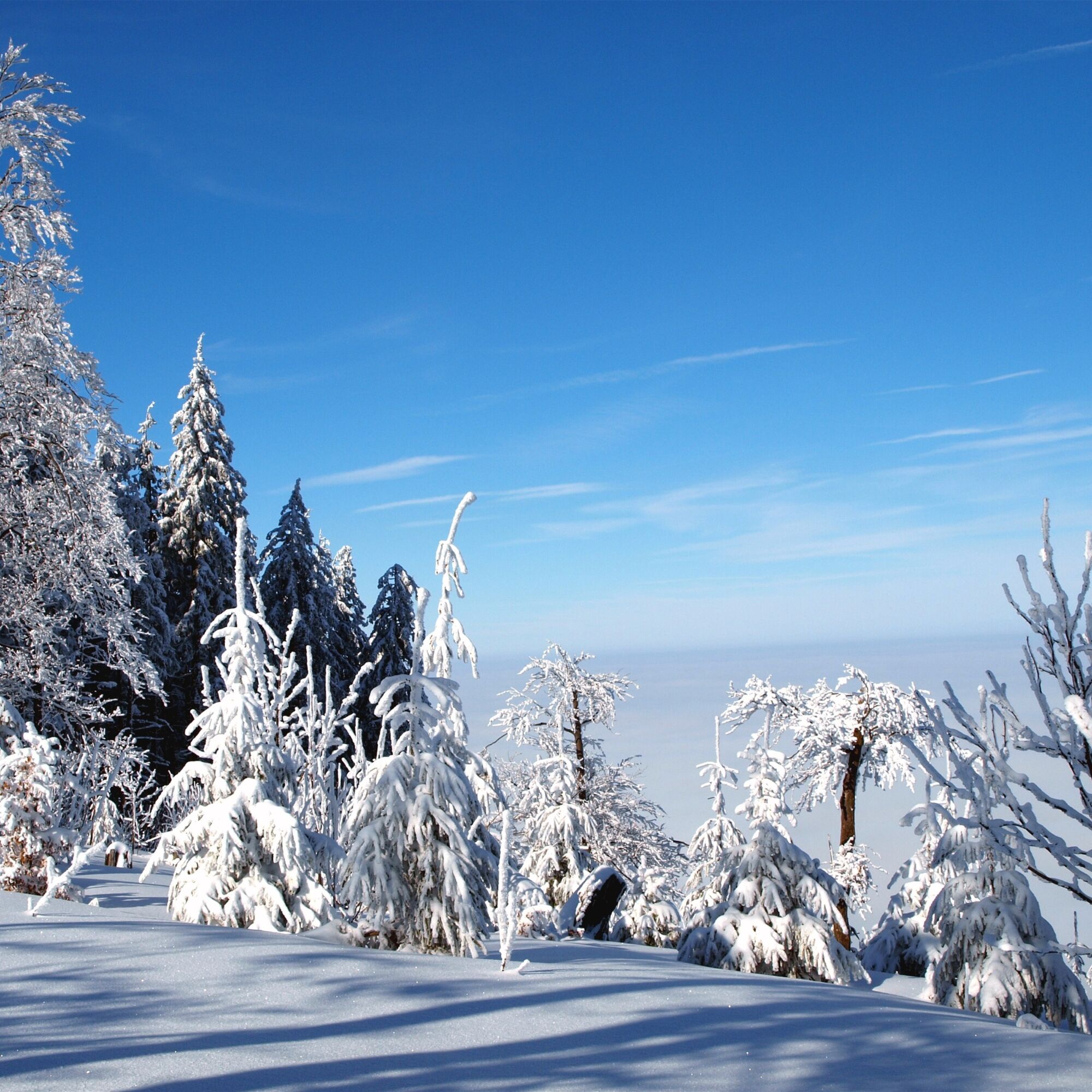

From there, the trail continues somewhat steeper to a saddle where long-distance hiking trails 04 and 09 join. You now follow the slightly ascending route towards Grünburger Hütte, with the path leading through sparse forest and over open ridges.
At the next saddle, keep to the east and continue uphill towards Hochbuchberg. Here the terrain opens up more and more before you reach the summit area with its great views. A stop at the Grünburger Hütte is a good idea before descending back down into the valley along the ascent trail.
Every tour should be well planned and prepared. Good equipment with avalanche transceiver, shovel and probe is essential. Weather forecasts, avalanche warnings and safety instructions must be observed.
t's worth stopping off at the Grünburger Hütte - winter opening times at www.gruenburgerhuette.or.at.
Infórmate
Siempre en directo con más de 9.500 webcams. bergfex Como usuario Pro, ahora puede ver las webcams correspondientes a muchos tours en la app de tours desde. Esto le permite ver las condiciones actuales directamente.
Rutas populares en los alrededores
-
4,7
Bergwanderung auf den Spering
medioSenderismo 7,50 km -
4,7
Cabaña Grünburger por Dorngraben Molln
medioSenderismo 3,43 km -
4,6
Schoberstein (desde Molln)
medioSenderismo 3,63 km -
4,8
Steinerner Jäger (1185m) und Schieferstein (1206m) ab Parkplatz Hochhabichler
medioSenderismo 4,46 km -
4,5
Rinnende Mauer - Camino de la garganta
medioSenderismo 7,20 km -
4,6
Dürres Eck - Gaisberg - Hochbuchberg
medioSenderismo 11,2 km -
4,7
Steinerner Jäger (1185m) und Schieferstein (1206m) ab Parkplatz Hack
pesadoSenderismo 8,58 km -
4,6
Pfaffenmauer - Schoberstein - Gipfel der Lust Gasthof Klausriegler, Oberösterreich/Österreich
medioSenderismo 9,72 km -
4,2
Cascada - garganta de Rinnerberger
medioSenderismo 7,55 km -
4,4
Ternberg -Schoberstein
medioSenderismo 6,60 km
Senderismo y rastreo


No se pierda las ofertas y la inspiración para sus próximas vacaciones
Su dirección de correo electrónico se ha añadido a la lista de correo.





