


Views - vistas
Fotos de nuestros usuarios
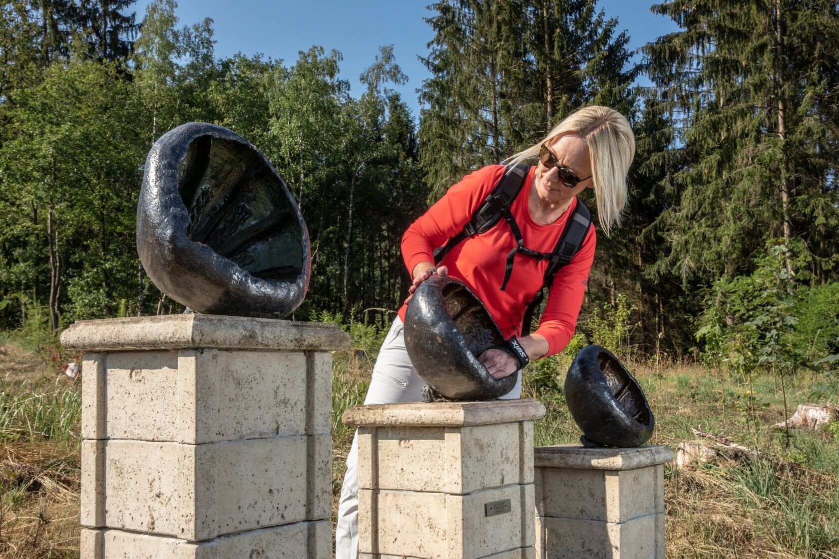
The most beautiful artists’ trail all around Neunkirchen proves how wonderfully art and nature can harmonise with each other. 18 paintings and sculptures by local artists have been installed on this fascinating...
The most beautiful artists’ trail all around Neunkirchen proves how wonderfully art and nature can harmonise with each other. 18 paintings and sculptures by local artists have been installed on this fascinating circular route.
Radwander- und Freizeitkarte Siegerland-Wittgenstein, mit Begleitheft, 1:50.000
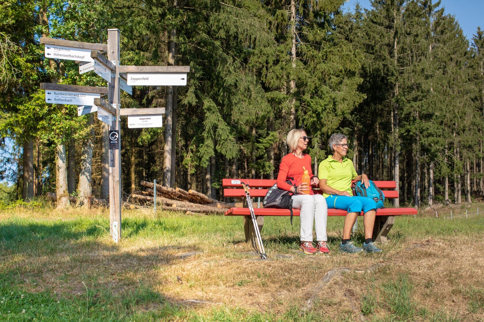
Normal hiking apparel, a water bottle and food and drink for the day are recommended.
A45 AS Wilnsdorf, L722 to Neunkirchen
Parking at the family pool
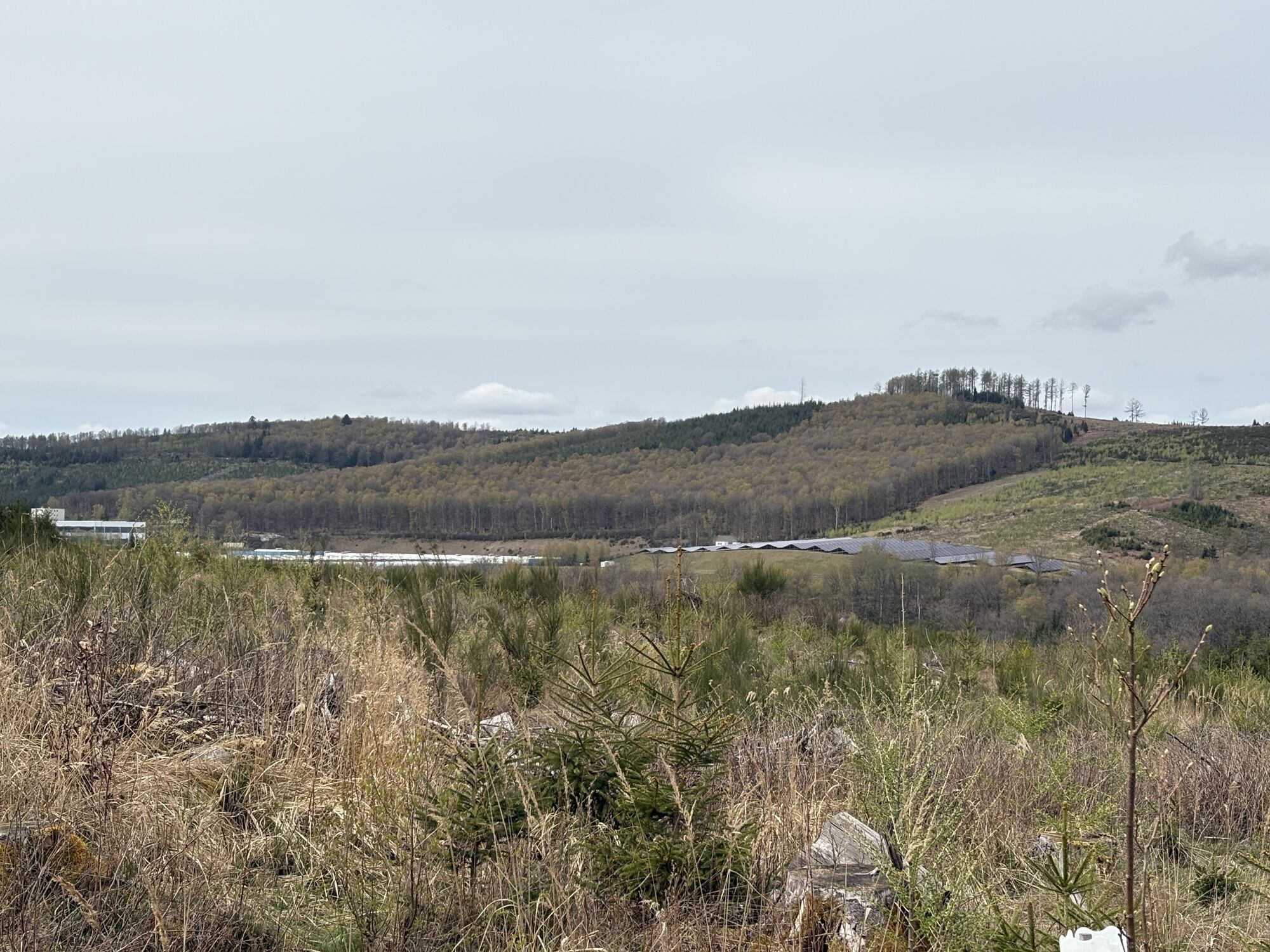
It’s well worth taking the detour to the Malscheid nature reserve.
Rutas populares en los alrededores
-
Naturerlebniswege auf der Trupbacher Heide
medioSenderismo 8,69 km -
Rothaarsteig Westerwaldvariante
pesadoSendero de largo recorrido 71,8 km -
Erlebnisweg Luisenpfad
Senderismo 2,90 km -
F6 - Rundwanderweg Oberfischbach-Niederndorf-Dirlenbach
medioSenderismo 10,5 km -
5,0
Rundweg von Gebhardshain über Dauersberg und Mittelhof
medioSenderismo 13,6 km -
Rund um die Freusburg
medioMountainbike 28,6 km -
Erlebnisweg Sieg | Trupbacher Heideweg | Siegen
pesadoSenderismo 15,2 km -
Erlebnisweg Sieg | Eichhörnchenweg | Niederfischbach
luzSenderismo 2,90 km -
Natursteig Sieg | Etappe 14 | Kirchen (Sieg)–Mudersbach
pesadoSenderismo 20,0 km -
Radtour Sieg | Bergbau per Bike | Kirchen (Sieg)
pesadoCiclismo 21,6 km
Senderismo y rastreo


No se pierda las ofertas y la inspiración para sus próximas vacaciones
Su dirección de correo electrónico se ha añadido a la lista de correo.