


Rothaarsteig Westerwaldvariante
The route starts in Dillenburg. Here, the Westerwald and Dill variants of the Rothaarsteig separate. You decide on the Westerwald variant and follow the signs towards Fuchskaute. Above Donsbach, the Rothaarsteig...
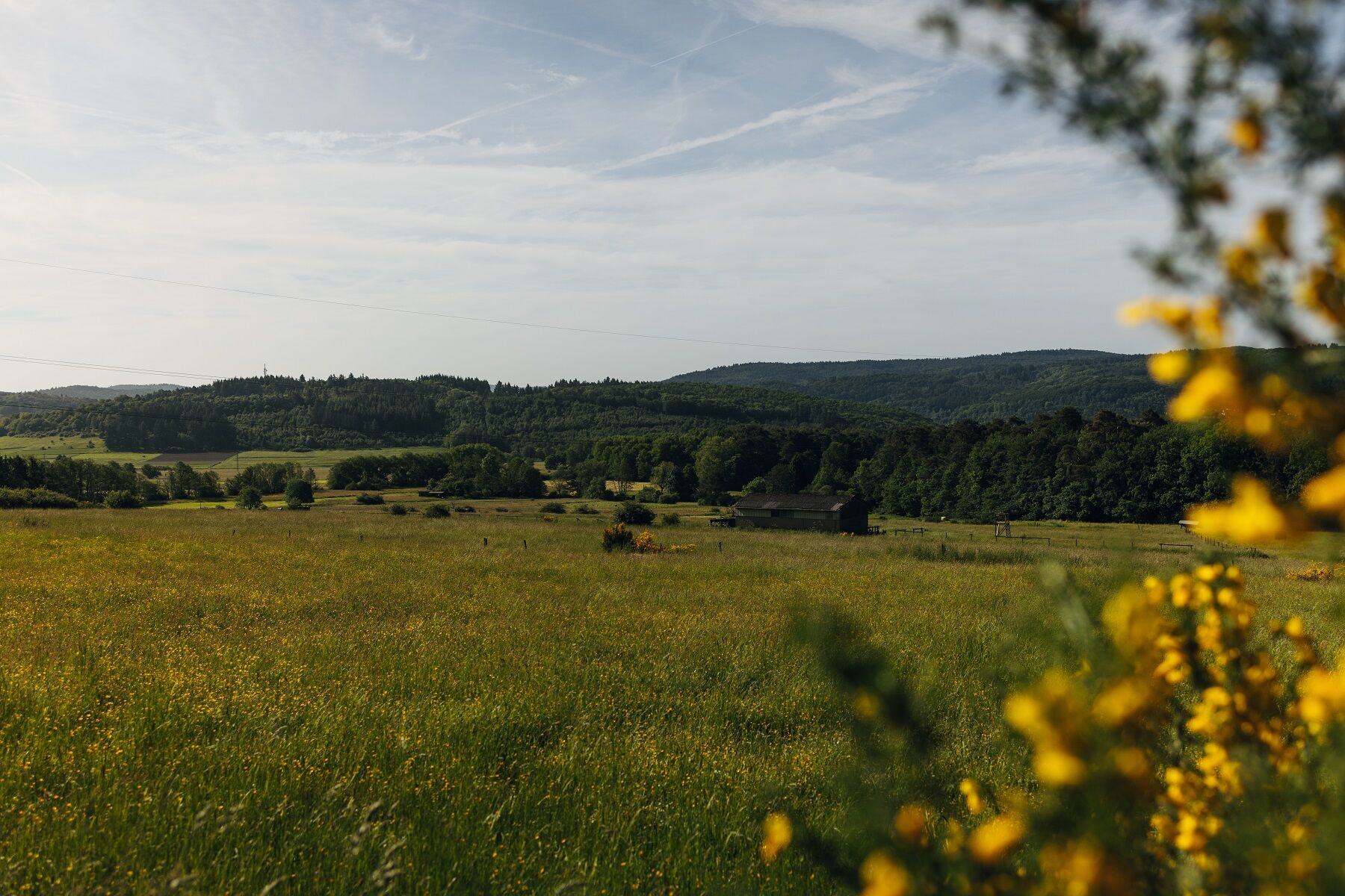
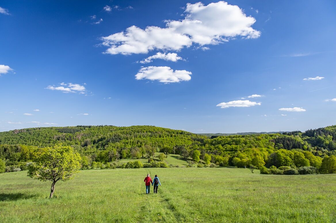
The route starts in Dillenburg. Here, the Westerwald and Dill variants of the Rothaarsteig separate. You decide on the Westerwald variant and follow the signs towards Fuchskaute. Above Donsbach, the Rothaarsteig leads you to Kornberg (453 m), rewarding you with a wonderful panorama. Following the Alten Rheinstraße, the Rothaarsteig meets the “Wildweiberhäuschen,” a 40 m high rock wall that rises vertically just a few meters from the Aubach. Along the Aubach, the Rothaarsteig then climbs uphill to Rabenscheid. Soon after, the path passes near the “Dreiländereck,” where North Rhine-Westphalia, Hesse, and Rhineland-Palatinate share a common border point. Now it’s about 4 km until the Rothaarsteig reaches Fuchskaute (657 m). Fuchskaute, a large nature and bird sanctuary, is the highest mountain in the Westerwald and at the same time the point where two Top Trails of Germany meet. Here, Rothaarsteig and Westerwaldsteig intersect.
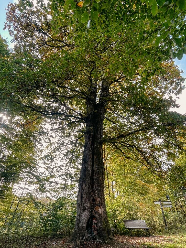
Shortly before Weißenberg, the Rothaarsteig reaches the natural monument Ketzerstein (612 m) – the visible remainder of a basalt lava flow. If you happen to have a compass with you, its needle will probably behave erratically at this spot due to magnetic interference. From Ketzerstein, you have a beautiful view over the High Westerwald. The elevated villages Weißenberg and Liebenscheid are the next stops, followed by the ascent to Siegerland Airport. At the start of the Höh – a ridge rising up to 598 m above sea level – you reach the village of Lützeln. While the highest peak of the Höh remained unnamed, two smaller mountains were memorably named: Großer Stein (546 m) is actually lower than Kleiner Stein (587 m), which apparently has nothing to do with height but with its extent. Großer Stein is a conical mountain top with an area of volcanic rock blocks solidified into boulders. These basalt blocks are often covered with rare mosses and lichens. Hiking through open landscapes, you pass through the village of Würgendorf and then reach Kalteiche, where the Westerwald variant of the Rothaarsteig reunites with the main trail. On the main trail, the so-called Dill variant, you now head southeast towards Dillenburg. On your way, you will pass the Lucas Oak. This impressive tree is at least 230 years old. You leave behind Rodenbach and Manderbach and return to the Orange city of Dillenburg.

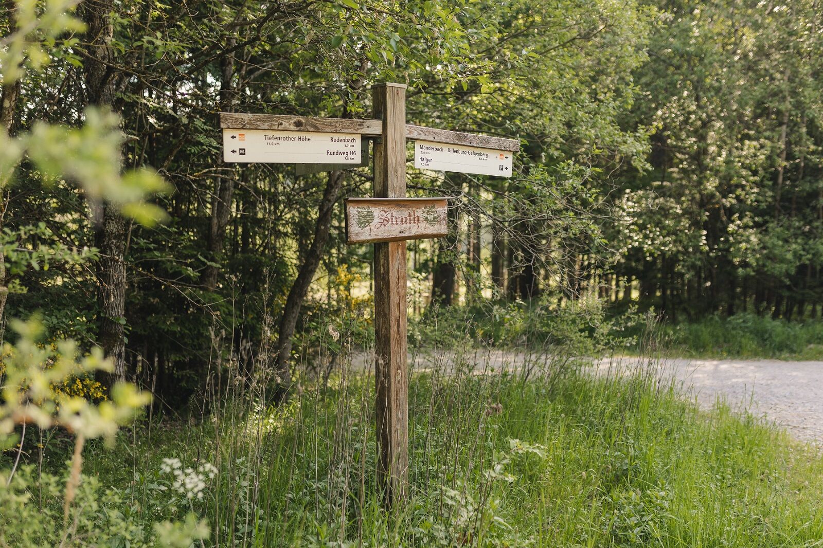
Dillenburg - Rabenscheid - Fuchskaute - Liebenscheid - Lützeln - Würgendorf - Watershed - Rodenbach - Manderbach - Dillenburg
Sí
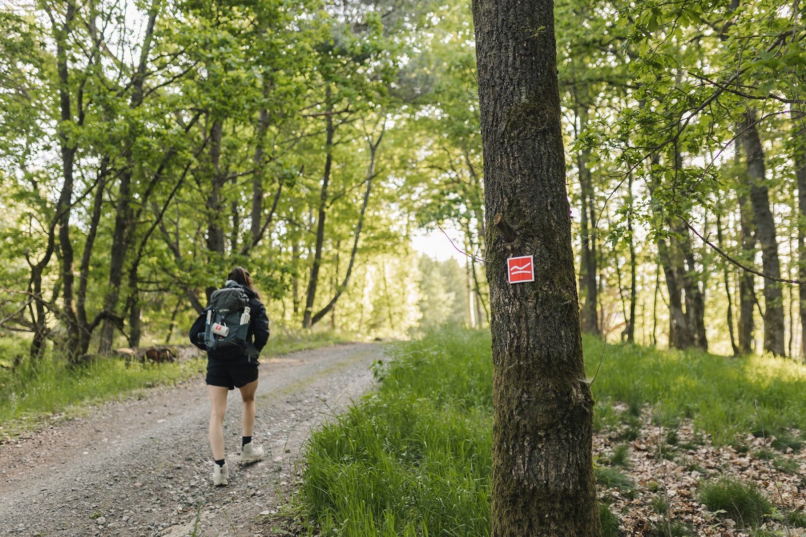
The Rothaarsteig leads over numerous natural paths away from agricultural and forestry roads. Therefore, weatherproof clothing and sturdy footwear are a must for every hike. We want you to experience the "path of the senses" not only "dry" but also on "good" feet.
In our small hiking shop at www.rothaarsteig.de/shop you will also find a selection of Rothaarsteig items to prepare for your route or as souvenirs. We are also happy to recommend the durable and high-quality outdoor equipment of our long-time partner, the outdoor outfitter Tatonka.
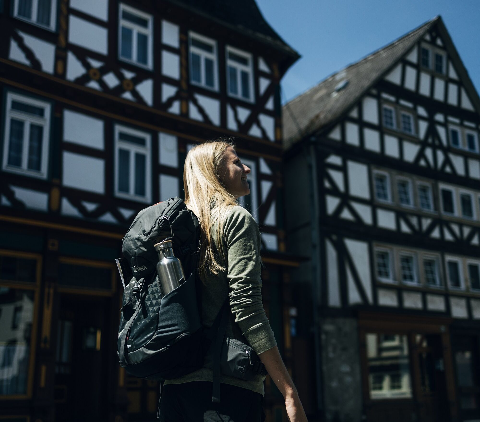
Hiking backpack
A suitable hiking backpack makes your route on the Rothaarsteig twice as fun! Hiking backpacks offer very comfortable carrying properties through a ventilated carrying system that allows sweat to evaporate immediately. They can be fixed with a belly or hip belt and thus sit firmly on the back with every movement. In addition, they are equipped with a practical holder for trekking poles and often offer a compartment with an outlet for a drinking bladder, ensuring hydration at all times.
Here you will find hiking backpacks from the outdoor outfitter Tatonka in various sizes for day hikes and multi-day tours and with different ventilated back systems.
Rainwear
If changeable weather is forecast for your route on the Rothaarsteig, remember to pack a light rain jacket or a rain poncho. They take up almost no space in your backpack and also block unpleasant wind. Also practical are gaiters that protect the trouser legs from dirt and moisture. With our partner, the outdoor outfitter Tatonka, you will find high-quality, breathable rain jackets with minimal pack size, lightweight rain capes, and gaiters for the trouser legs to keep them protected from dirt and moisture.
Here you will find rain jackets from Tatonka for women.
Here you will find rain jackets from Tatonka for men.
First-aid kit
To fully enjoy your hiking tour on the Rothaarsteig, a first-aid kit certainly belongs in your backpack for safety reasons. After all, nothing is more annoying than having a blister on your foot or little injuries that cannot be treated cleanly immediately. The first aid kits from Tatonka are filled with all essential materials for initial treatment of injuries and also include an "outdoor cheat sheet" with concise and clear guidelines for correct behavior in emergencies in the open nature.
Here you will find the first-aid kits from Tatonka!
Food and drinks
On some stages, especially between Lahnhof and Dillenburg, there are unfortunately no places to stop along the way. Keep this in mind and especially pack food and drinks here. Adequate hydration is especially important in summer.
The stainless steel bottles, insulated stainless steel jugs, and stainless steel lunch boxes from the German outdoor outfitter Tatonka are not only practical but also unbreakable and durable.
Information about the rescue boards on the Rothaarsteig
Hiking trails mostly run away from towns and settlements and all hikers have surely wondered what would happen in an emergency. How can I be found here? Where am I? Can emergency services reach me?
In an emergency, time is of the essence! Therefore, the Rothaarsteig is continuously equipped with so-called rescue signs. On the green-white plaques attached to the posts of the signposts is a number you must provide when making an emergency call. This allows rescuers to know exactly where you are, saving valuable time.
Note regarding increased risk of forest fire
Please keep in mind that due to dryness there is currently an increased forest fire risk! Therefore, please observe the following instructions:
Observe the legal smoking ban in the forest - it applies in spring, summer, and autumn, specifically from March 1st to October 31st. Observe the prohibition of open fire in the forest and within 100 meters of the forest. Take glass out of the forest - the burning glass effect can cause forest fires.If it is (too) late:
Extinguish small fires if it is safe for you. Check the spot carefully if necessary. Report fires via "112". Leave the danger area by the shortest route.The forest thanks you!
You can easily reach Dillenburg by long-distance trains of Deutsche Bahn.
Further information is available at www.bahn.de.
We recommend using public transport at the start of your route and positioning a car at the endpoint. This way, you do not have to plan your hike according to bus or train timetables.
Along the entire Westerwald variant, you will find hiking parking lots again and again.
In Dillenburg, free parking is available at the stadium. Enter in your navigation system: "Am Sportzentrum".
Further information about the Rothaarsteig is available at www.rothaarsteig.de or by phone at the free service hotline +49 2974 / 499 4163. Here, we are happy to advise you personally on your route planning.
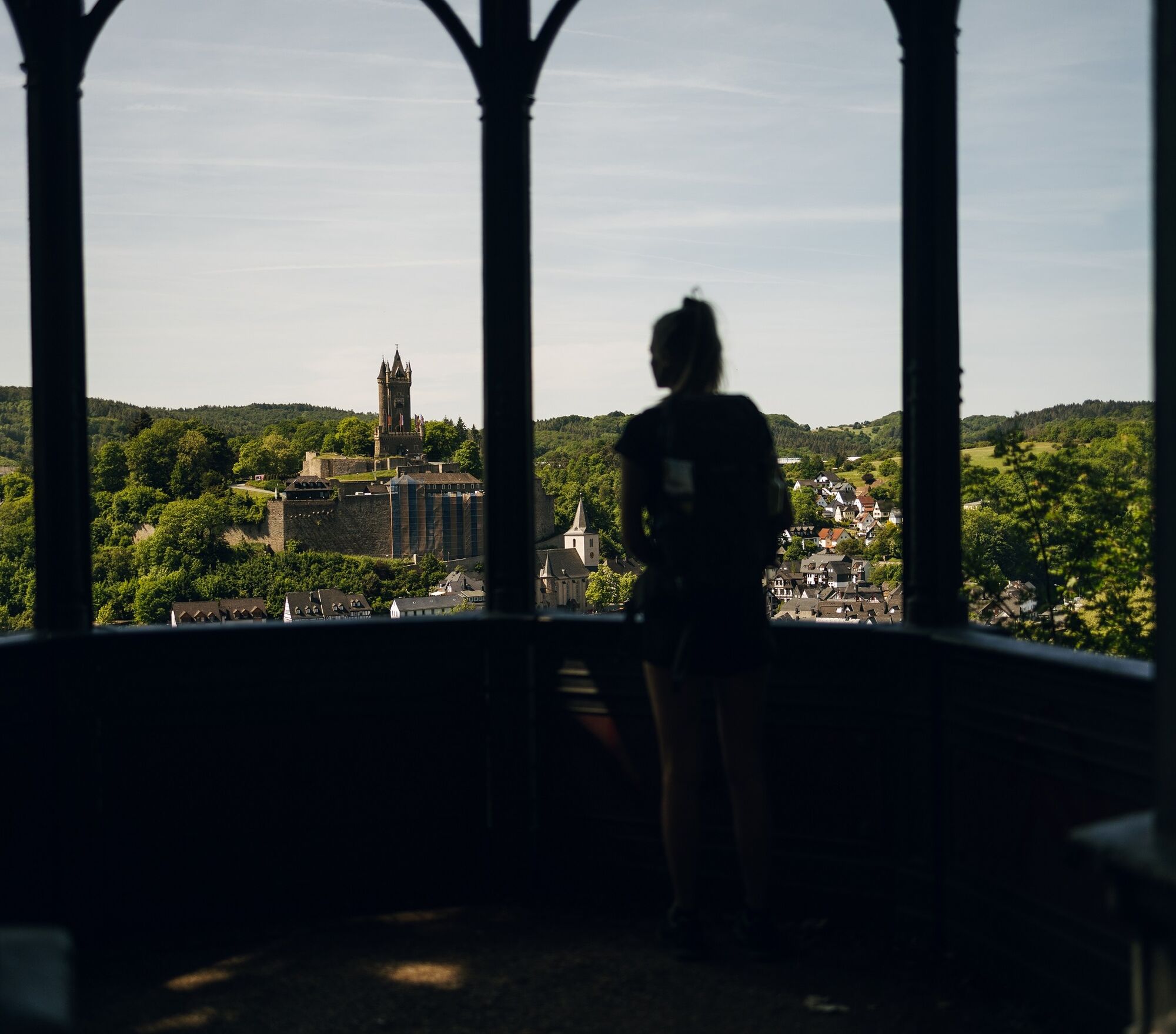
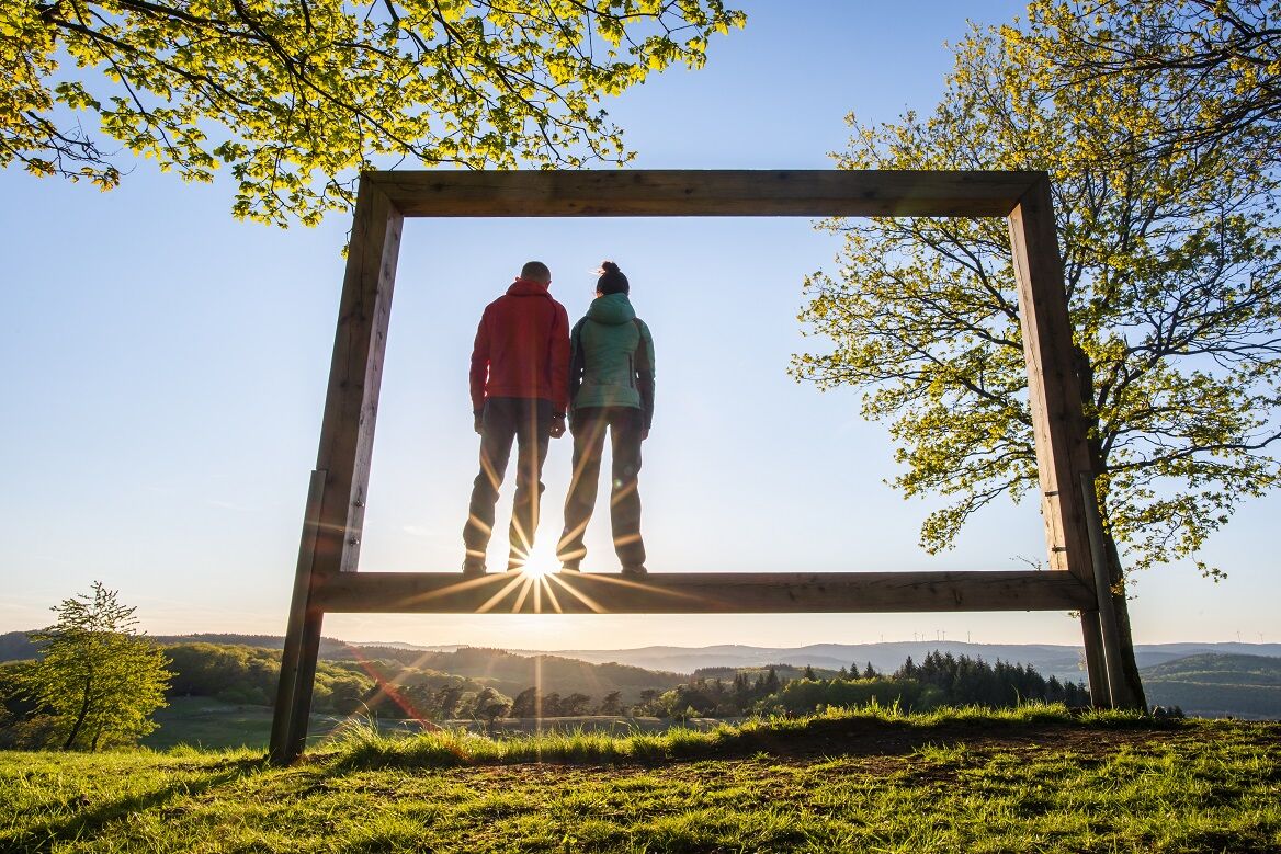
Especially beautiful view from Kornberg - there is an original Rothaarsteig forest swing where you can enjoy the landscape
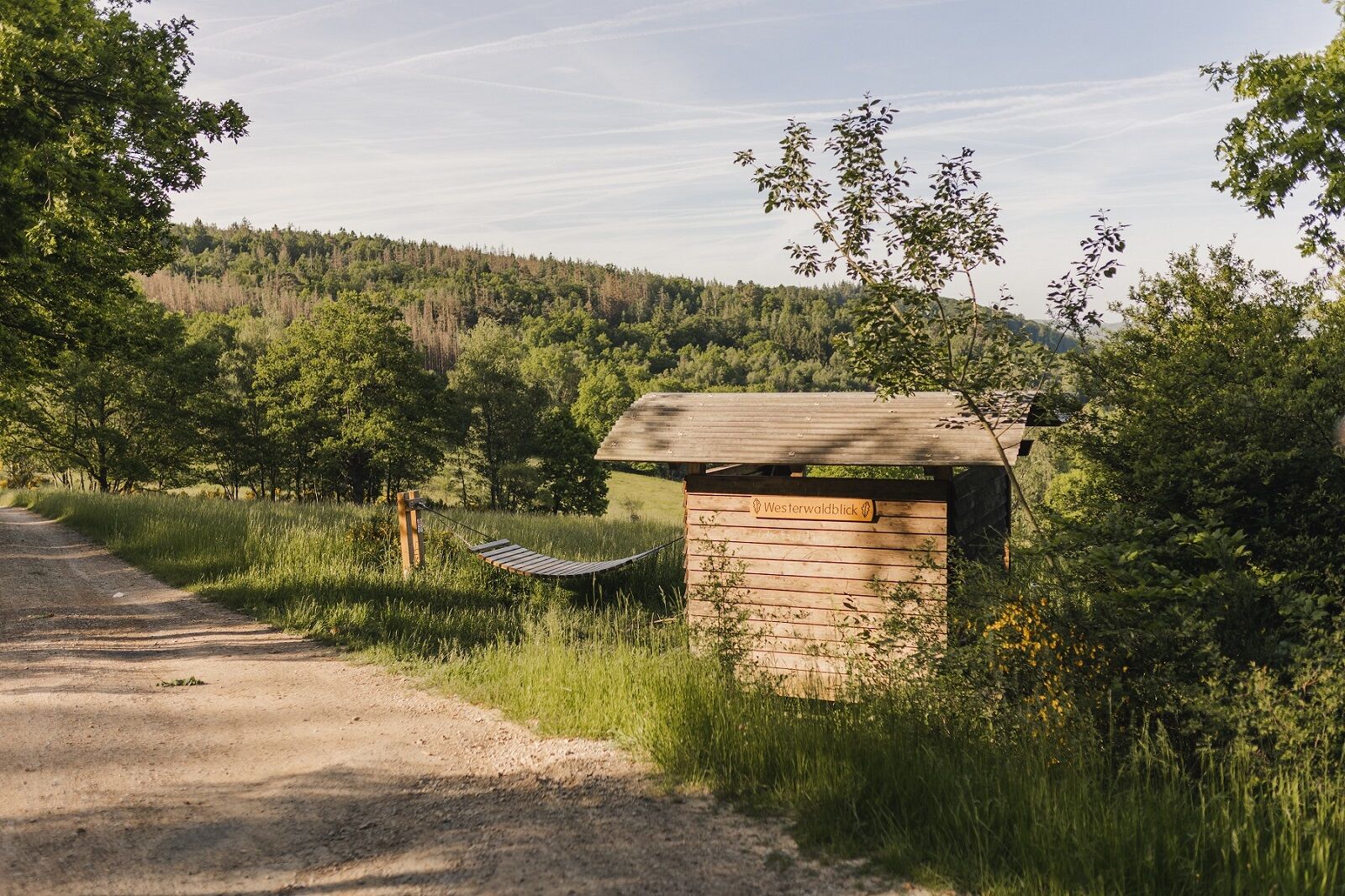
A great rest stop is the so-called Westerwaldblick near Rodenbach
Also beautiful views can be found at Fuchskaute or Ketzerstein
Both Dillenburg and Kalteiche are possible starting points for the Westerwald variant.
Rutas populares en los alrededores
-
Rothaarsteig-Spur Wacholderweg
medioSenderismo 16,1 km -
Rothaarsteig-Spur Gernsdorfer Höhentour
medioSenderismo 13,4 km -
Rothaarsteig-Spur Dill-Bergtour
medioSenderismo 15,9 km -
Rothaarsteig von der Haincher Höhe nach Dillenburg
pesadoSenderismo 27,3 km -
ÖPNV-Tour: Auf dem Rothaarsteig von Dillenburg nach Haiger
medioSenderismo 13,2 km -
Rundweg Obersdorf
Senderismo 8,20 km -
Rothaarsteig von Irmgarteichen nach Rodenbach
pesadoSenderismo 17,0 km -
ÖPNV-Tour auf dem Rothaarsteig: Von Haiger-Dillbrecht nach Wilnsdorf-Rudersdorf
medioSenderismo 10,7 km -
Rothaarsteig von Rodenbach nach Dillenburg
pesadoSenderismo 15,8 km -
Erlebnisweg Luisenpfad
Senderismo 2,90 km
Senderismo y rastreo


No se pierda las ofertas y la inspiración para sus próximas vacaciones
Su dirección de correo electrónico se ha añadido a la lista de correo.